


⚠️ Hiking and scrambling are inherently dangerous activities. Please read my Disclaimer. ⚠️
Our third destination of the day was Whistler Mountain. Despite some older topo maps which show the summit to be the first peak in the foreground, the actual summit of Whistler Mountain in the centre (see Sonny Bou’s trip report for more details on this controversy). Syncline Mountain and Mount McCarty are in the distant centre.

After summiting ‘Eagle Peak’, which was the highest point of the day, it was all downhill from there… well mostly. There were still a couple of minor elevation gains and losses to reach both Whistler Mountain and the old Whistler Fire Lookout, but nothing serious. All of the hard work had been done earlier in the day.

Looking towards Whistler Mountain (centre right) from the slopes of ‘Eagle Peak’.

Looking back towards ‘Eagle Peak’ from the connecting ridge. There were some impressive cornices along the way.

Outside of the popular routes in the area such as Table Mountain, Crowsnest Mountain, and Turtle Mountain, we rarely, and I stress RARELY encounter other hikers. In fact, many people in southern Alberta seldom venture to the mountains outside of Waterton National Park. By sheer chance last year, we encountered Bob Spirko and Dinah Kruze on the Bovin Lake Trail just after we had descended from Pincher Ridge, (we were lucky they didn’t use their bear spray on us after we came crashing through the underbrush and onto the trail directly in front of them). So you can imagine our surprise when we met Josh and Veronica on the ridge between Whistler Mountain and ‘Eagle Peak’. Visiting the area from Calgary, Josh and Veronica are active members of the Calgary hiking community and were looking to escape the miserable weather in the mountains west of Calgary. Obviously they are people of discerning taste given their choice of destinations for the day ;). After chatting with us for a while, Josh and Veronica decided to follow our route back to ‘Table Top’ and then exit to their vehicle via Table Mountain. I hope the rest of their day was as enjoyable as ours was!

After saying goodbye to Josh and Veronica, Jeff and I proceeded on our way to Whistler Mountain (partially visible through the trees).
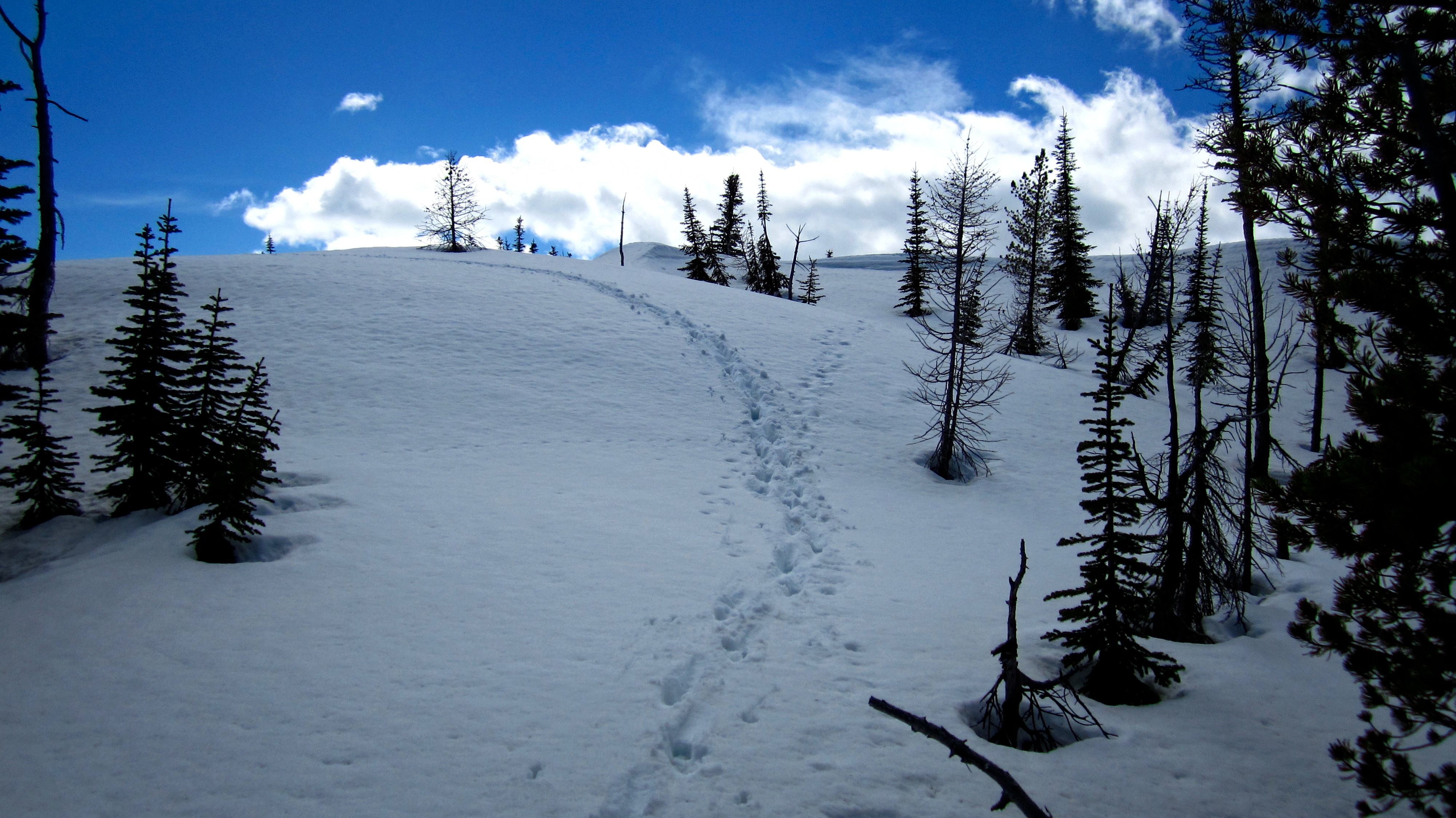
Not only were Josh and Veronica really nice people, but they also left us with an invaluable gift – a post hole trail that we could use. Thanks guys!

The true summit of Whistler Mountain from the top of the disputed summit. The old fire lookout is in the distance.

Jeff heads towards Whistler Mountain along a deep snow drift.

Standing on the official summit of Whistler Mountain (2201 metres), Jeff discovers that the registry container is about as useful as a screen door on a submarine. ‘Eagle Peak’ is directly behind Jeff.

Another look east towards ‘Eagle Peak’ (right) and the connecting ridge to ‘Table Top’. We could see Josh and Veronica on the summit of ‘Eagle Peak’ from the summit of Whistler Mountain.

Looking north towards the summit of ‘Table Top’ from the summit of Whistler Mountain. To our surprise, we could see the cairn that we had built.

And yet another view to the east, this time showing the entire ridge.

Jeff stands on the summit of Whistler Mountain. Boy, things sure have gone downhill since the Olympics were here 😉

And that’s me on the summit.

Looking west from the summit. Southfork Mountain is in the centre and Syncline Mountain is on the right. Our 4th and final destination on The Whistler Loop was the site of the old Whistler Fire Lookout (Click) which was located only a short distance away (foreground).