

⚠️ Hiking and scrambling are inherently dangerous activities. Please read my Disclaimer. ⚠️
I finally finished the game that I started back in 2014! Hearts Peak was the last in my quest to achieve a “Full House” by summiting a series of minor peaks located on Adanac Ridge and Hastings Ridge in the Crowsnest Pass/Castle boundary area. These peaks include: Maverick Hill, Poker Peak, Clubs Peak, Spades Peak, and Hearts Peak – though for some reason, there is no ‘Diamonds Peak’. Regardless, tagging each of these little summits has provided me with some enjoyable snowshoeing and shoulder season biking and hiking.
Joining me for today’s snowshoe was my friend, Aaron Eyjolfson, who had previously accompanied me up Crowsnest Ridge. I sometimes feel sorry for my hiking companions, because they get dragged out to tackle these really obscure minor peaks, while much more impressive objectives sit nearby. For example, Hearts Peak is attached to the west side of Hillcrest Mountain, which I climbed back in 2013, but is something that Aaron has yet to do. We contemplated climbing it on the way in because the southern slopes were bare and readily ascendable, but Aaron graciously humoured my strange obsession and we pressed on to summit Hearts Peak – an objective that I would guess, is very, very low on most people’s lists of peaks to visit. So, a huge thank you to Aaron for being such an awesome poker partner and for helping me to come up with the winning hand!

Hearts Peak is located immediately to the west of Hillcrest Mountain. To access it, drive west from Lethbridge on Highway 3 until you reach the turnoff for East Hillcrest Drive in the Pass. Turn left and drive ~2.4km to the Adanac Road turnoff. Turn left and follow the road for ~1.3 km until you come to a fork where a sign warns you that past this point, the road is not maintained in either the summer or winter. Continue on if you are confident that your vehicle can make it, otherwise, this will have to be your starting point. We were able to drive an additional ~600m before we came to a ~350m stretch of deep snow that prevented us from going any further. This is where we parked. However, had we been able to make it past this section, we could have driven most of the way to the trail – something that would’ve saved us a ~3.5km hike along the road. So be warned that if you plan on completing this as a snowshoe, you may or may not be adding time and kilometres onto your day.
Whether or not you can drive the road, the trail to reach Hearts Peak is the same one that is used to gain access to the southern slopes of Hillcrest Mountain. It is located on the right side of the road approximately ~3.2km from the cattle guard. Another way to find it is to remember that it starts just prior to where the road bends to the south and begins to climb up towards the Castle boundary.
Once on the trail, we followed it for ~3.7km as it wound its way around the south side of Hillcrest Mountain before turning north and heading up the valley towards the col between Hearts Peak and Hillcrest Mountain. Here, the trail made the first of two switchbacks as it crossed from the slopes of Hillcrest to the slopes of Hearts. We bypassed the second switchback by using a gully that was located only ~100m from the first switchback. We followed this gully up for ~110m until we regained the trail. We then followed the trail north for ~300m before leaving it and snowshoeing ~120m through the trees to reach the shoulder beneath the summit. From here it was a steep ~320m climb to reach the summit. We would return the same way.

Our total distance travelled was 16.1km with total elevation gains of 659m. If we didn’t have to walk in along the Adanac Road, we could have shaved 7km off of our total distance. Our total roundtrip time was 5 hours and 42 minutes.

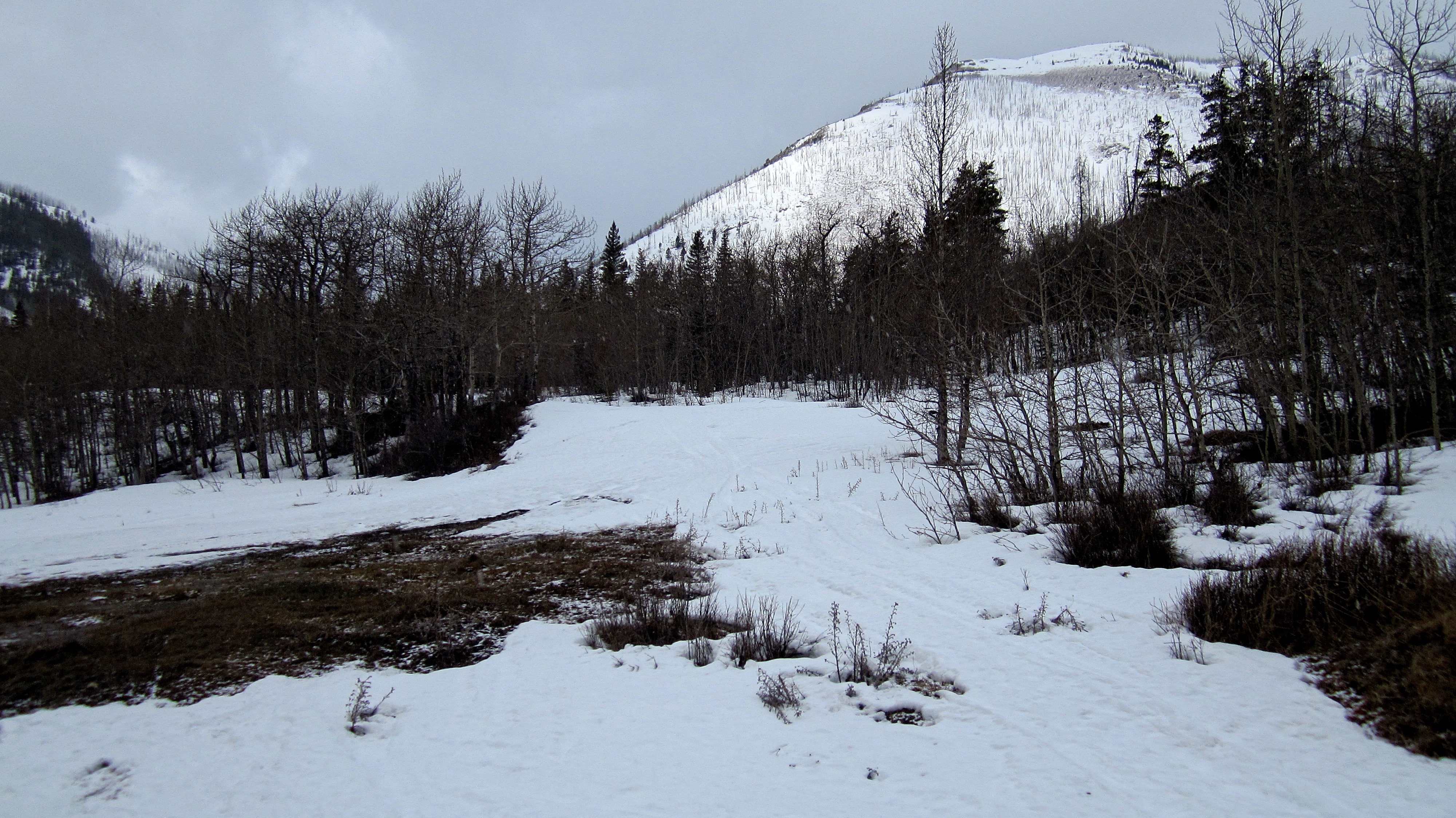
After reaching a long and moderately deep stretch of snow on the Adanac Road, I turned my 4Runner around and parked on the side of the road. This was our starting point.

Looking up the road shortly after starting. Had I been able to drive past this ~350m section of road, we could have driven most of the way to the trail. Oh well! Surprisingly, we actually enjoyed the easy hike in and out.

Just past the cattle guard and at the starting point for the route up Byron Hill, we found the gut pile and skinned carcass of an elk on the side of the road. It was fairly fresh and animals had not yet begun to scavenge it. I’m not a hunter, but I’m guessing that leaving this on the side of a road is not how you are supposed to dispose of the remains of your kill – but maybe it is… At any rate, as this is the time of year when bears are beginning to emerge from hibernation, we made sure that we were extra cautious when we passed by on the way back.

Aaron makes the long hike down the Adanac Road. The trail starts at the south end of Hillcrest Mountain which can be seen in the distance.

After hiking ~3.5km from our vehicle, we came to the trailhead which begins at a pullout on the righthand side of the road (centre). In the background is Hastings Ridge.
Looking at the trailhead from the road. In the background is the southern end of Hillcrest Mountain.

Once we left the road (background), we didn’t make it too far before we needed snowshoes.

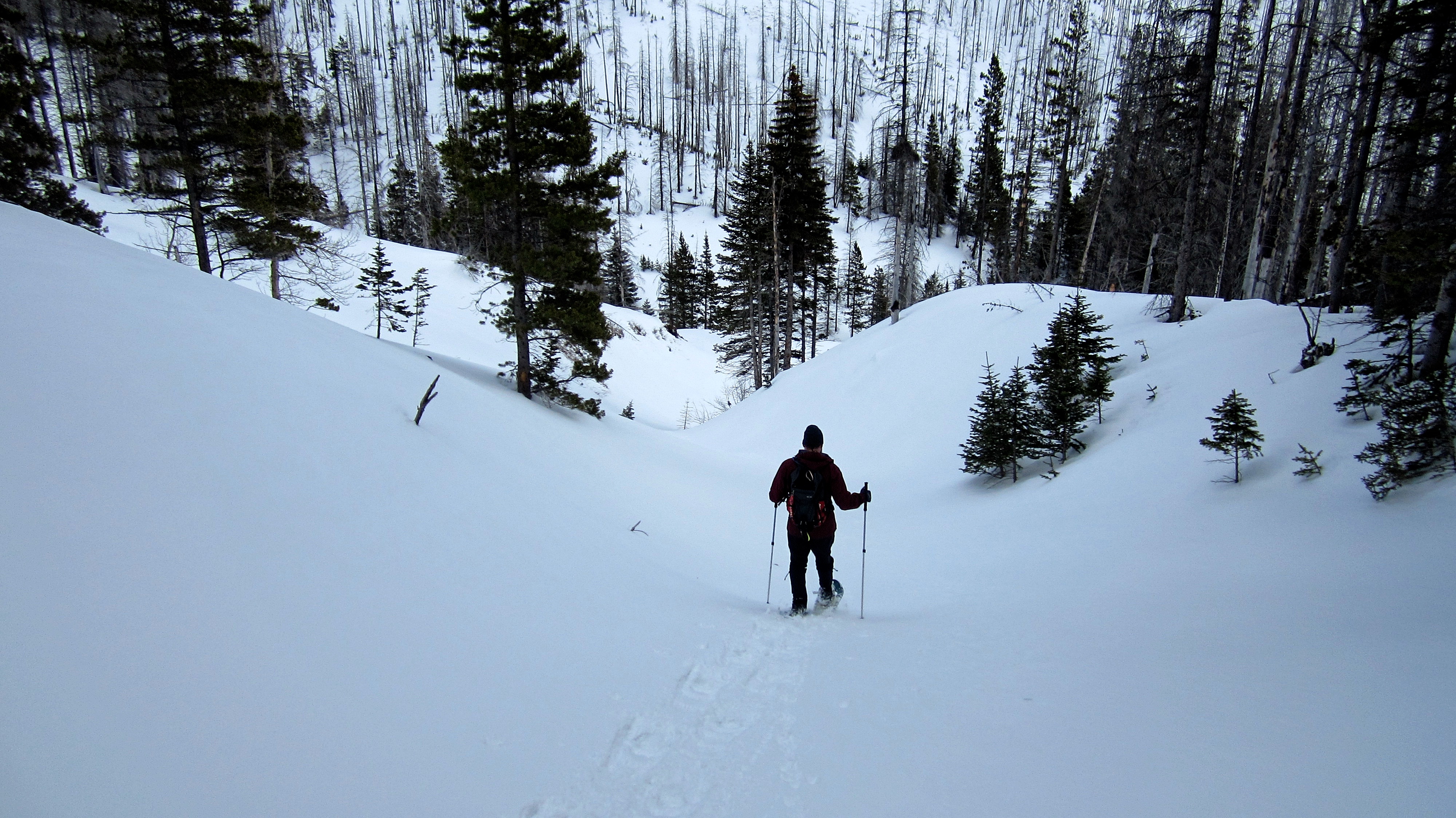
Aaron leads the way as we head towards Hillcrest Mountain.

The trail leads between Hillcrest Mountain and Hastings Ridge.

A sign of things to come. All day, the weather alternated between near whiteout conditions and bright sunny skies. (Photo by Aaron Eyjolfson)

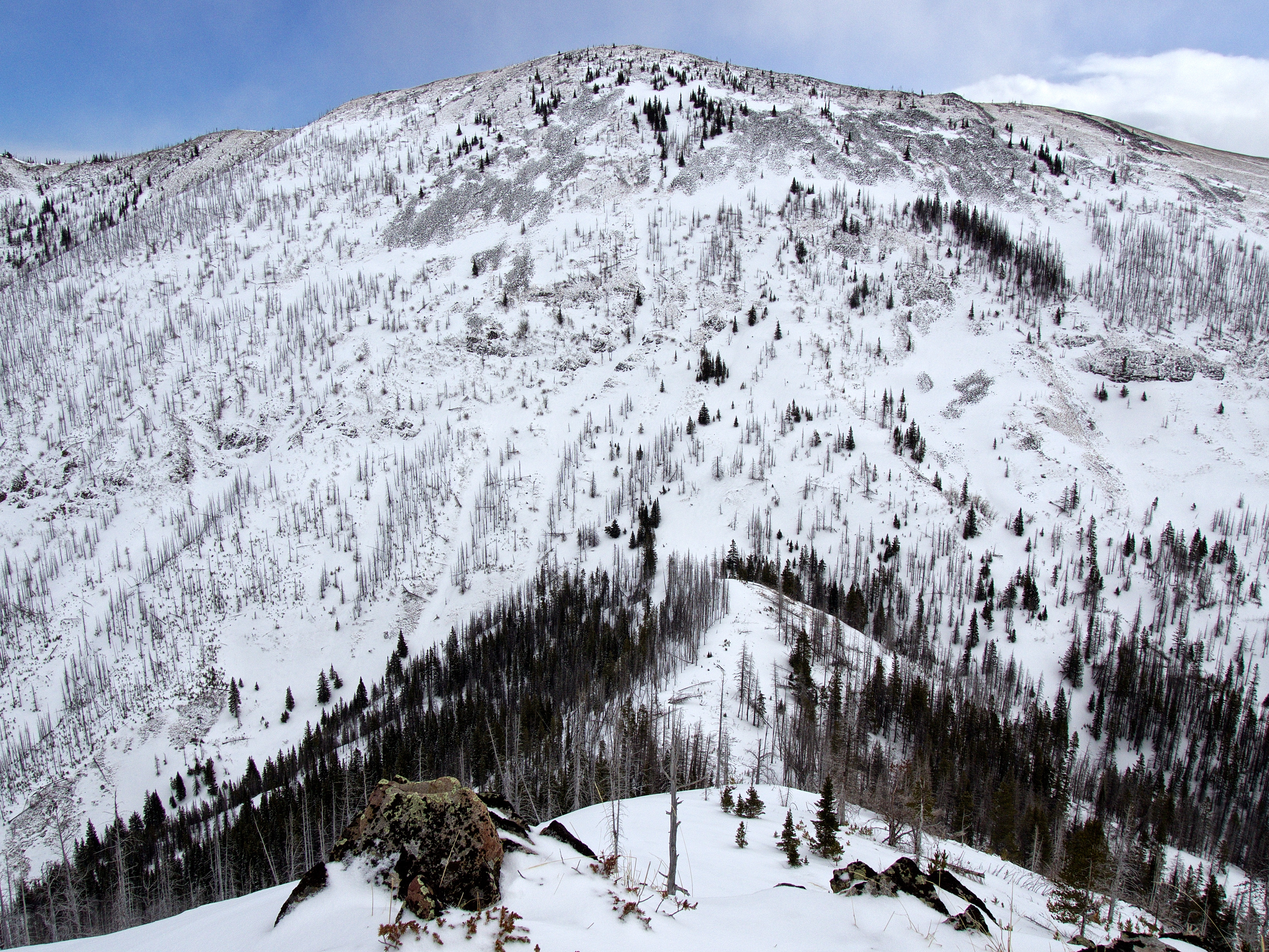
Even though the area had been scorched by the 2003 Lost Creek Fire, the valley that we followed was still scenic, for there is beauty to be found in the rebirth of the land.

After snowshoeing for ~1.8km, we could finally see the southern ridge of Hearts Peak.

Aaron stops for a quick break not long after the trail had rounded the south end of Hillcrest Mountain.

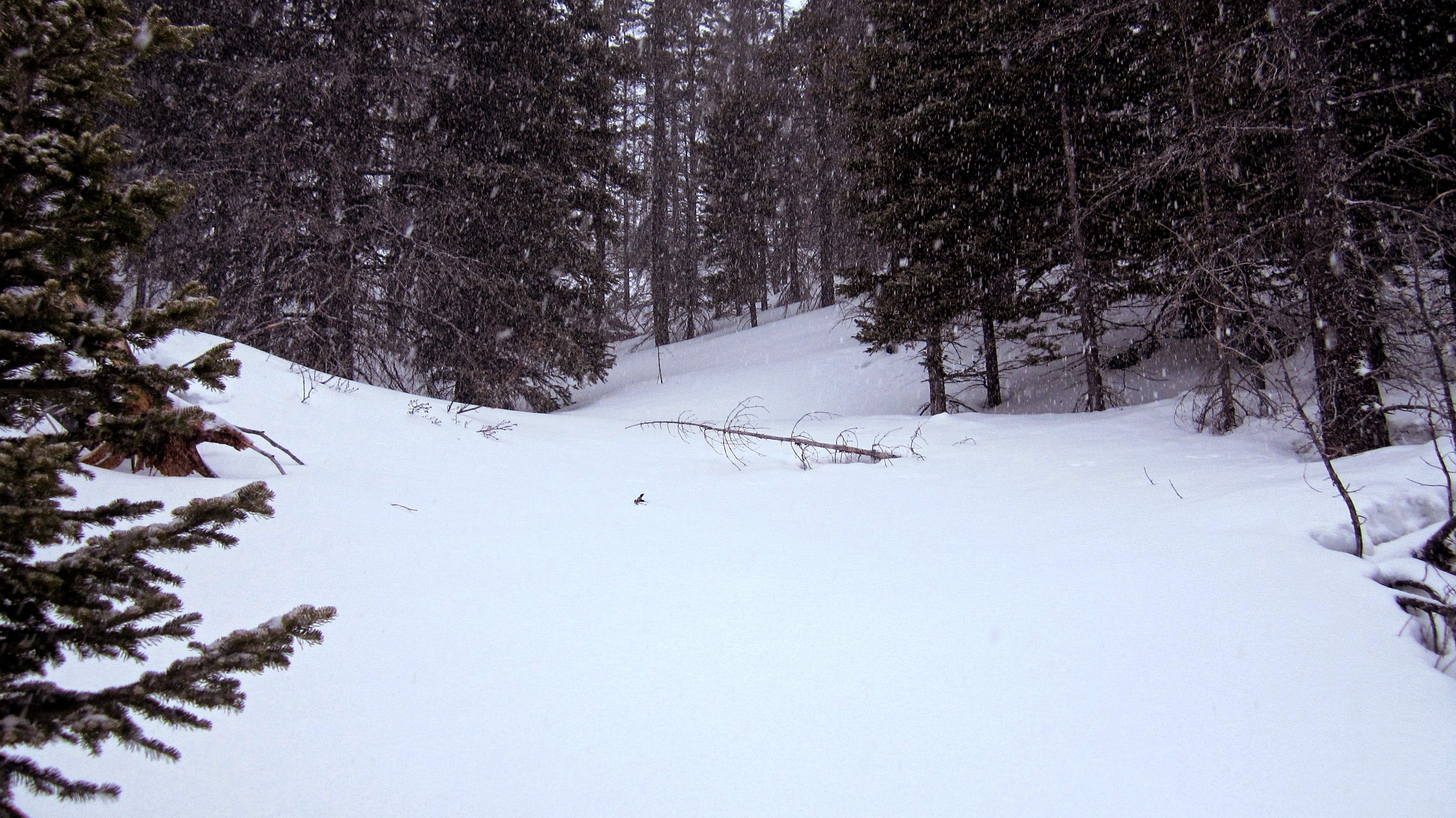
Once again, snow begins to fall as we follow the trail north towards Hearts Peak. (Photo by Aaron Eyjolfson)

Our first clear view of the summit!

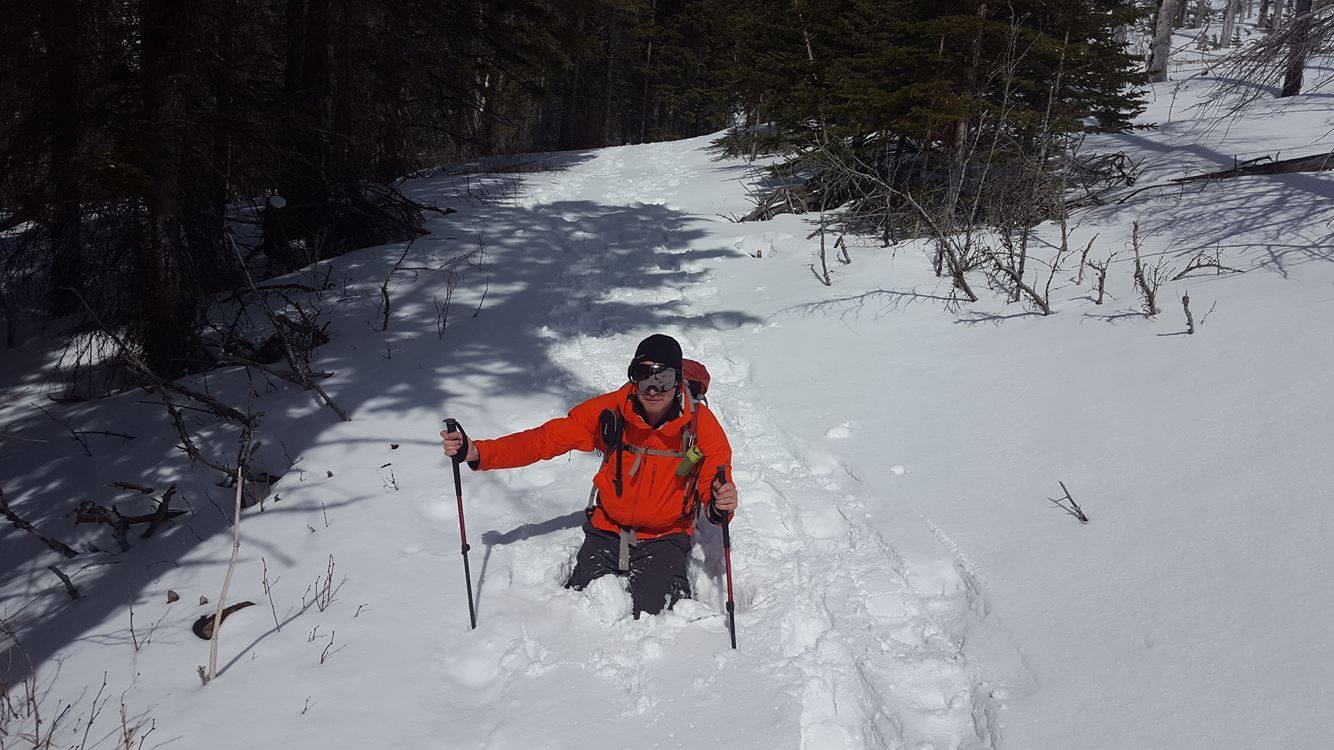
Thankfully, firm snow covered most of the trail, though there were a few places where it unexpectedly gave way. 😉 (Photo by Aaron Eyjolfson)

Getting closer to the summit. To avoid ascending beneath the large cornices located along the ridge, our route would eventually leave the road and follow the skyline slope to the right of centre.

Approximately 3.2 km from the road, the trail crosses from the slopes of Hillcrest Mountain over to the slopes of Hearts Peak. This crossing is marked by the first of two switchbacks (not pictured). To save distance, but more importantly, to avoid following the road beneath what looked to be potential avalanche terrain, we left the road ~100m past the first switchback and followed this gully to the upper section of the trail.

Aaron makes his way up the gully.

The view north along the trail after rejoining it.

Aaron takes a break on the trail after the short, but steep climb out of the gully.

To avoid ascending beneath the large cornices located along the ridge, we followed the trail north until we closed in on the col between Hearts Peak and Hillcrest Mountain. We would end up leaving the trail when we came to the section of trees ahead and to the right of Aaron.

As a further point of reference, we left the trail as soon as it started to head towards Hillcrest Mountain (centre) and the col.
Some light bushwhacking was required to reach the shoulder beneath the summit.

On the shoulder and looking east towards the col and the summit of Hillcrest Mountain.

Looking west at the summit of Hearts Peak.

Heading up the steep slope beneath the summit. Here is where my alpine snowshoes had a distinct advantage over Aaron’s. (Photo by Aaron Elyjolfson)

The view back towards the shoulder.

As if on cue, the sky cleared and the sun came out as we neared the summit. This provided us with the first opportunity to see our route through the valley. Spades Peak is in the centre.

Almost at the summit. The terrain is steeper than it looks.

The clearing sky also gave us a fine view of Turtle Mountain. Bluff Mountain can also be seen to the left of Turtle.

The wind came in spurts and just before the summit, we endured some strong, but short-lived gusts. (Photo by Aaron Eyjolfson)

Searching for a way onto the summit. We would end up ditching our snowshoes and scrambling up between the rocks on my left. (Photo by Aaron Eyjolfson)

The summit of Hearts Peak (2027m).

Aaron scrambles up the rocks…

…and then pulls himself over a cornice to reach the summit.

The view slightly to the northeast from the summit. From left to right: Bluff Mountain, Turtle Mountain, Morin Peak, South Peak, and “The Dog”.
Hillcrest Mountain sits immediately to the east.

The view to the southeast. In the foreground on the left is Poker Peak and in the centre is Spades Peak. Syncline Mountain is in the distance on the right.

To the west, the Ironstone Fire Lookout sits on the summit of Willoughby Ridge.

Looking southwest at two unnamed high points on Hastings Ridge. The one in the foreground looked to be even higher than Hearts Peak. Why Hearts has a name and these don’t is a mystery. Maybe one of these is the missing ‘Diamonds Peak’? 😉

A pano looking to the northeast and east.

In typical fashion for the day, dark clouds signal the arrival of yet another snow squall.

A pano to the south. As I mentioned in my Spades Peak report, it would also be possible to follow Hastings Ridge to reach Hearts Peak. Indeed, with some careful planning, a bike, and time to spare, it would be possible to complete all five little peaks in a day. To see how I would do it, see my postscript at the end of this report.

Aaron takes a picture of me…

…and I take a picture of him. (Photo Aaron Eyjolfson)
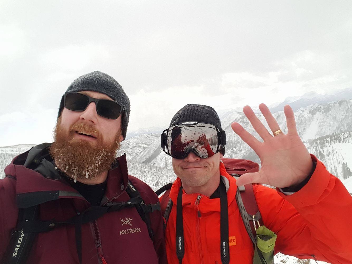
Aaron and I on the summit. Hearts was the fifth and final summit that I needed to tag in order to complete the “Full House”. (Photo by Aaron Eyjolfson)

As it was too difficult to descend where we had scrambled up, we walked down the ridge until we found a safe location to climb over the cornice. We then made our way back to the base of the summit. (Photo by Aaron Eyjolfson)

To descend the section immediately beneath the summit, we removed our snowshoes and got creative.

Feeling confident, we decided to keep going without using our snowshoes…

…which didn’t last too long! My friend, Brad, completed this route under summer conditions and he encountered horrible sections of deadfall after leaving the trail. We had the benefit of deep snow that allowed us to avoid this, but post-holing in the wrong place could prove painful. Fortunately, no eunuchs were made during the filming of this event. 😉

On the shoulder and heading back to the trail.

Looking at the point where we had initially left the trail.

Back on the trail and heading home.

Aaron pauses to enjoy the view.

With the sun now shining, we could see how the scenic the trail really was!
Heading down the gully to the lower section of trail.

I didn’t take a picture of it earlier, but here is where the trail keeps going to the left and where the gully begins (right).

What a gorgeous spring day!
The sun had softened a few more sections along the trail. 😉 (Photo by Aaron Eyjolfson)
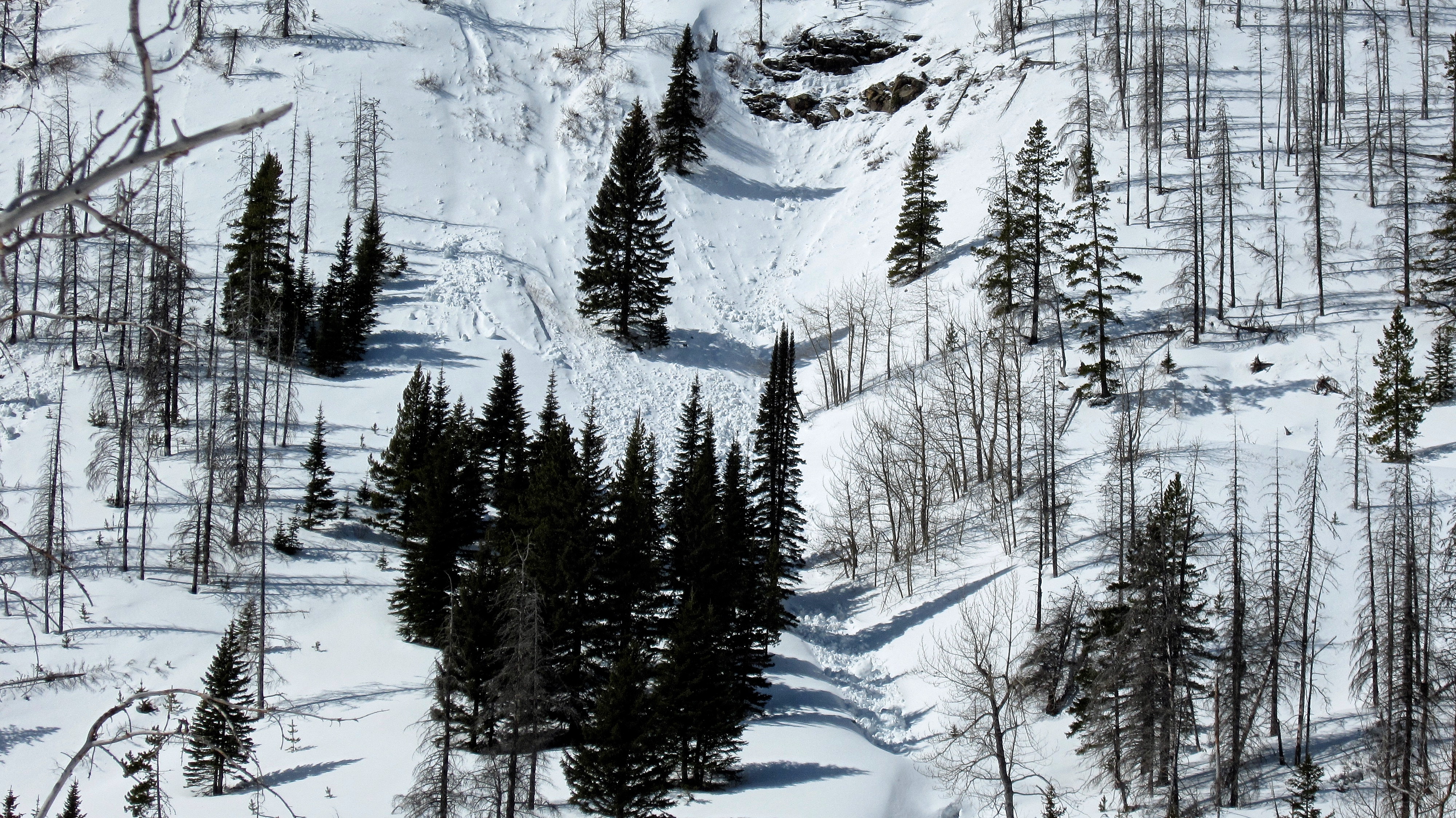
The sun had also made the snow unstable on the steeper sections of Hearts Peak. Fortunately, we were able to avoid travelling anywhere near these locations.

The view back to the summit as we pause along the trail.

It wouldn’t be long though, before we would go from sunny skies…

…to this. Welcome to spring!

This wasn’t on the trail earlier so some friends must have left a present for us.

Arriving back at the Adanac Road.

With Tallon Peak in the distance, Aaron closes out the final few metres of our ~16.1km trip. Despite having to hike in along the Adanac Road, the trip itself was highly enjoyable – and I can now rest knowing that I have finally achieved a “Full House”. 😉 It was also great to spend another day in the mountains with Aaron!
Postscript: If I were to try for a “Full House” all in one day, here’s how I would do it:
- Ideally there would be 2 vehicles and bikes. I would park one vehicle either at the trailhead for Hearts Peak / Hillcrest Mountain – or for a longer day – in Blairmore;
- I’d then drive the 2nd vehicle up the Adanac Road and drop the bikes off at the base of Poker Peak;
- Then I would keep driving for a couple of kilometres until I came to the Maverick Hill starting point. Here is where I would park and start hiking;
- I would tag Maverick Hill then hike the ridge to tag Poker. I’d drop down from Poker and get on my bike and ride to Clubs Peak (easiest peak in the world) and tag it. I’d then ride to Spades Peak, tag the summit, and return back the same way, except I’d keep going and follow the Adanac Road all the way down to the Hearts Peak trailhead. I would then bike the trail to Hearts and tag it using something similar to our snowshoe route;
- If I parked the 2nd vehicle at the Hearts / Hillcrest trailhead, then I would just return the same way. However, if I had parked it in Blairmore, I’d keep following the trail until I reached Lyons Creek Road, which I would then follow into town. This would be a very long ride, but it is an option.
If I only had one vehicle and a bike, I’d do everything the same way except I’d have to ride back up the Adanac Road and then coast down to my parking spot at Maverick Hill.
Anyway, this could be a really fun day! Happy trails!
A wonderful summary…and some great pics. Well done, sir. Can’t wait for our next obscure foray into the mountains.
Cheers
Aaron
Thanks Aaron! It was an awesome day, and yes, we need to go again sooner rather than later.