
⚠️ Hiking and scrambling are inherently dangerous activities. Please read my Disclaimer. ⚠️
Happy Easter! Though given the sub-zero temperatures and the snow, it’s really hard to tell that spring has officially arrived. One week ago, on Palm Sunday (March 25), I made a solo trip to the Porcupine Hills to see how far up the Skyline Road I could drive with the hope of getting close enough to the Porcupine Fire Lookout for a quick snowshoe. I made it about 50m beyond Mead Creek before I realized that the snow was too deep to drive through, and since I was by myself, I surmised that it would be really hard to simultaneously shovel, push, and drive myself out should I happen to get stuck.
I then turned around and drove back to the Pass to see if I could reach the public grazing lease that leads from Township Road 64 to the top of Ginger Hill. I failed, making it only 8 km down the road before again turning around due to deep snow – but hey, this was about 5 km further than I was able to venture a month ago. As it was late in the day, I then turned my focus to trying to summit Prairie Bluff from the northwest. I made it to the top of the connecting ridge and began the 1.5 km hike to the summit when I encountered waist-deep snow in the trees. Not wanting to become a eunuch, and aware of the rapidly changing weather, I decided to call it a day.
Fast-forward to today, and I was back in Ky-es-kaghd-oghsuyiss (the Porcupine Hills), this time with my good friend, Brad. Not only was there more snow than a week ago, the temperature was now -17c! We made it no further up the Skyline Road than I did before and as we were contemplating snowshoeing up the road, a Waldron Ranch truck pulled out from the ranch house on Mead Creek. The friendly gentleman told us that we were allowed to hike on the land next to the road as the Waldron Ranch makes this land available for recreational use. After thanking him, we pulled out the topo map and decided to try and make a loop that included Sand Bluff and the Porcupine Fire Lookout using the ridge that began next to our current location. We would return out the Sharples Creek valley and the Skyline Road. A long day to be sure, but we figured that the snow wouldn’t be that deep.
Boy were we wrong! The section before the summit of Sand Bluff and the road leading from it towards the Porcupine Fire Lookout was knee-deep at times, making for an exhausting ordeal. Approximately ~600m into our trip to the fire lookout, Brad wisely suggested that we pull the plug as we were making slow progress and weren’t sure how deep the snow would be for the remainder of the loop. We turned around and went back to the summit of Sand Bluff just to see if we had somehow missed a place to take in a view. We hadn’t, and so we returned the way came.
I liken Sand Bluff to nearby, Black Mountain, as there are no views from the summit and much of the ascent ridge is treed. This doesn’t mean that we didn’t like this trip, because as with Black Mountain, we thoroughly appreciated the unique terrain. Indeed, the lower sections of the ridge offer up some great views of the Livingstone Range. I’m not sure if anyone else will find this to be an appealing snowshoe, but it could make for an interesting shoulder season destination or loop if you include the Porcupine Fire Lookout. That being said, if the Skyline Road is drivable, you could probably tag both summits in a very short period of time. All in all, this ended up being a great outing on a frigid winter… er, spring day.

To get to Sand Bluff, we drove west from Lethbridge on Highway 3 until we came to the junction with Highway 22, just past the hamlet of Lundbreck. We turned onto Highway 22 and drove north for ~24 km until we came to the bridge over the Oldman River. Immediately after crossing the bridge, we turned right (east) onto Township Road 101 (Waldron Flats) and followed it for ~4.3 km to where it forms a T-intersection with the West Sharples Creek Road. Turning north (left) onto the road, we drove for another ~5.8 km until we reached the driveway for the ranch house located at Mead Creek. Snow plows only clear the road to this location, so this was our starting point.

From the road, we gained Sand Bluff’s west/northwest ridge and followed it for ~6.5 km until we reached the summit. We found that as long as you stay on the crest, the route is easy to follow. Approximately 3.5 km into our trip, we came to a series of trails that made travel even easier. The Porcupine Fire Lookout sits ~3.9 km to the northeast of Sand Bluff if you stick to the adjoining road. We made it ~600m from the summit of Sand Bluff before deciding that slogging through deep snow for several more hours was not our cup of tea. We returned to the summit and then descended the way we came. Note: the sandstone outcrop on Sand Bluff’s south slope can be seen quite clearly on the Google map above.
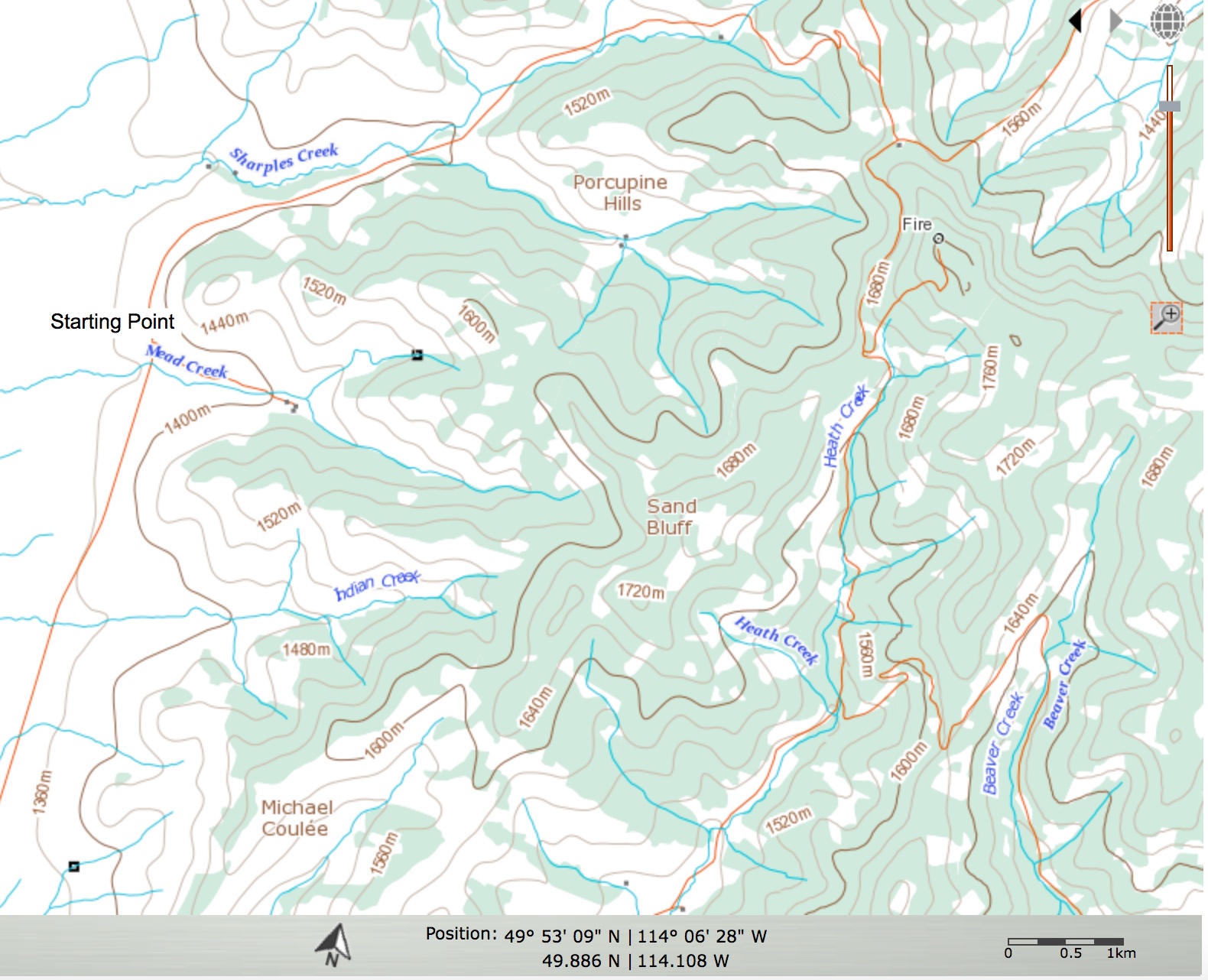
The topo map shows the long, but easy to navigate ridge from where I’ve marked our starting point on Mead Creek (upper left). It also shows the Porcupine Fire Lookout in relation to the summit of Sand Bluff. The map indicates that the summit should be less than 1760m but my GPS pinged it at 1771m, of which a metre would’ve been the snow drift I was standing on. 😉 Go with the map for elevation and not my GPS.

Including our foray towards the fire lookout and then back to the summit, our total distance travelled was 15.1 km. Our total round trip time was 5 hours and 32 minutes. The elevation gain from the West Sharples Creek Road to the summit was 395m over ~6.5 km and total elevation gains were 706m.
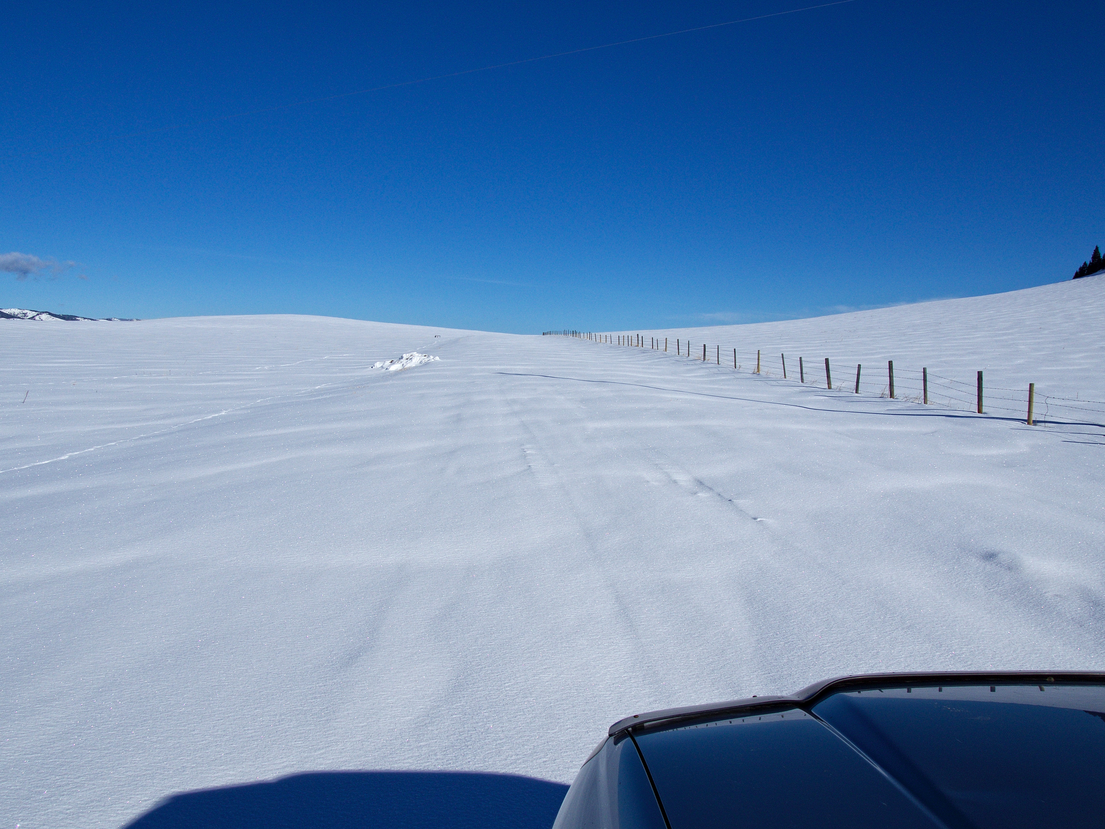
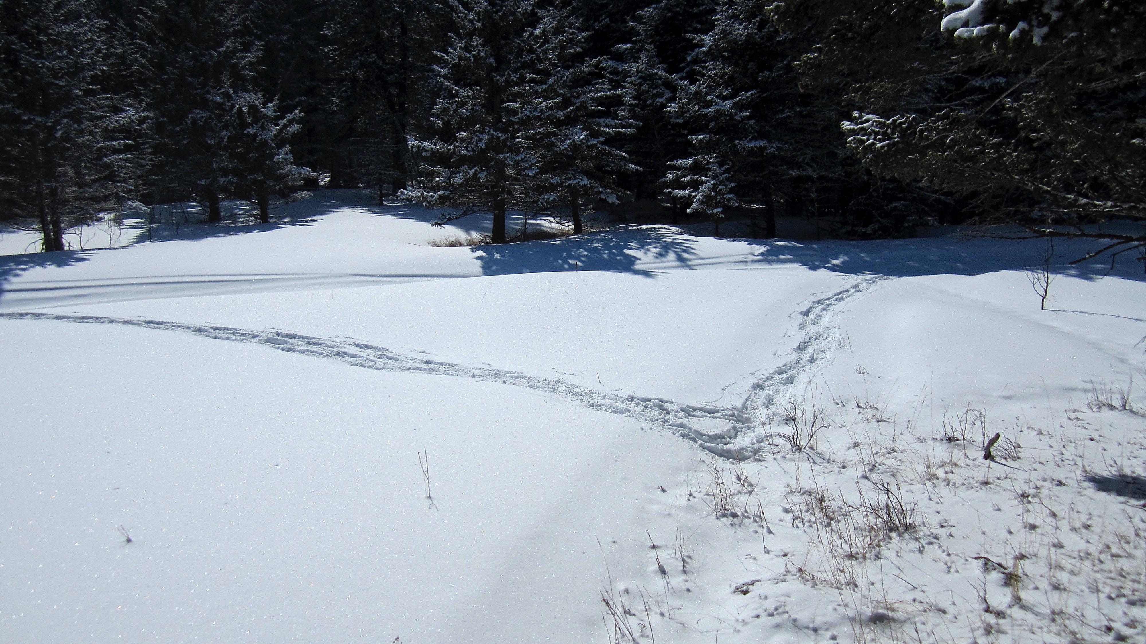
This is what the West Sharples Creek Road looked like just past Mead Creek one week earlier on March 25, 2018. It looked no better today. Snow plows only clear the road to Mead Creek, and even then, there can be deep drifts on the road. A 4×4 is advisable for accessing even the plowed section.

March 25 – Before getting to today’s trip up Sand Bluff, I thought I’d include last Sunday’s little adventure up the northwest end of Prairie Bluff.
As I previously mentioned, I turned around at Mead Creek and then went to try, Ginger Hill. I was stymied again and so decided to try re-summiting Prairie Bluff. It was late in the day and to ensure quick access, I parked at a well site located near the base.
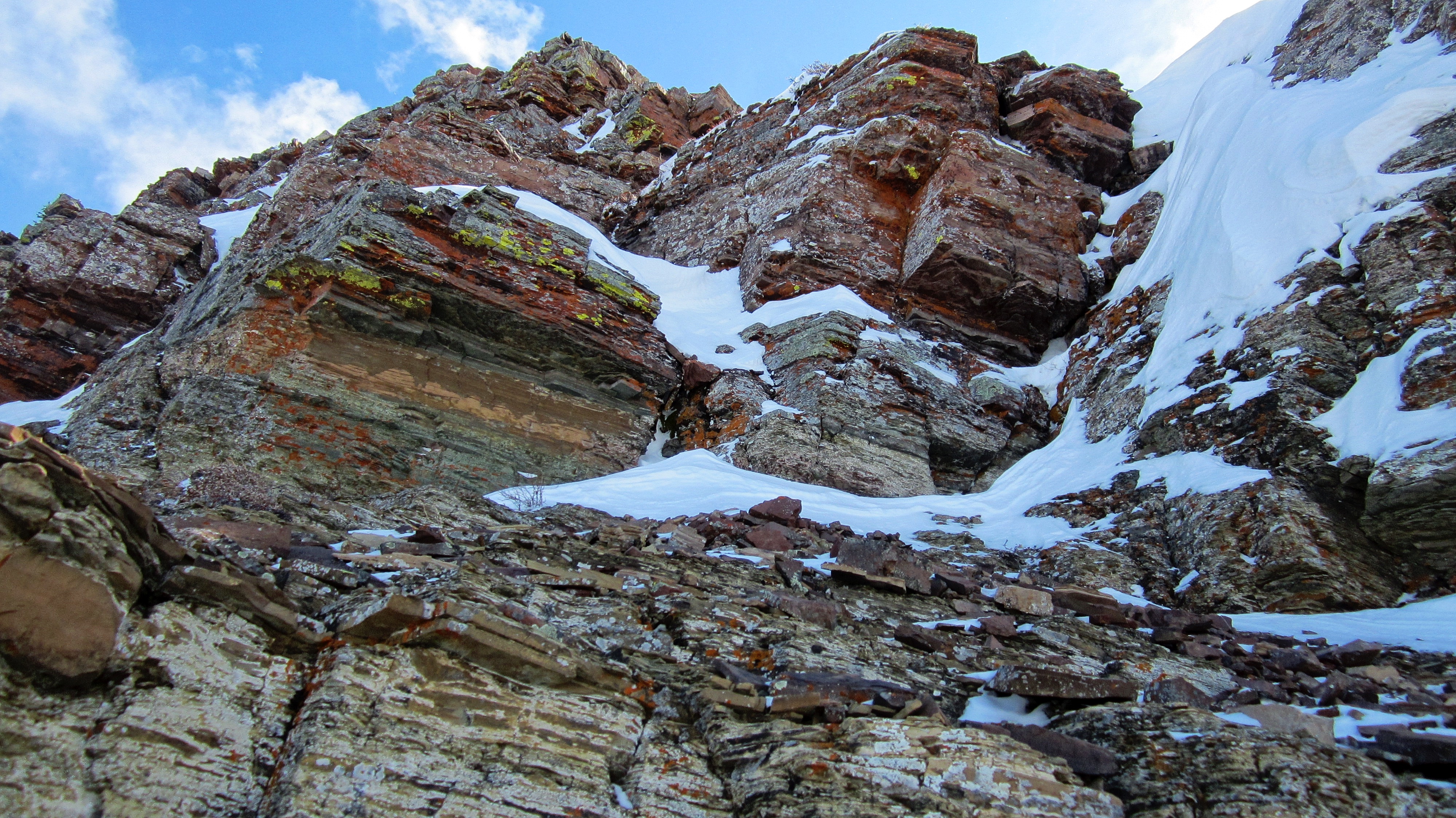
March 25 – Just prior to reaching the top, I enjoyed my first little scramble of the year. 🙂

March 25 – Looking back at my 4Runner from the top.

March 25 – The summit of Prairie Bluff (far left) sits about 1.5 km from the top of the northwest ridge. I started hiking towards it but as soon as I reached the trees, I began post-holing up to my waist in snow. It wasn’t long before it began to snow heavily and this is when I made up my mind to turn around.
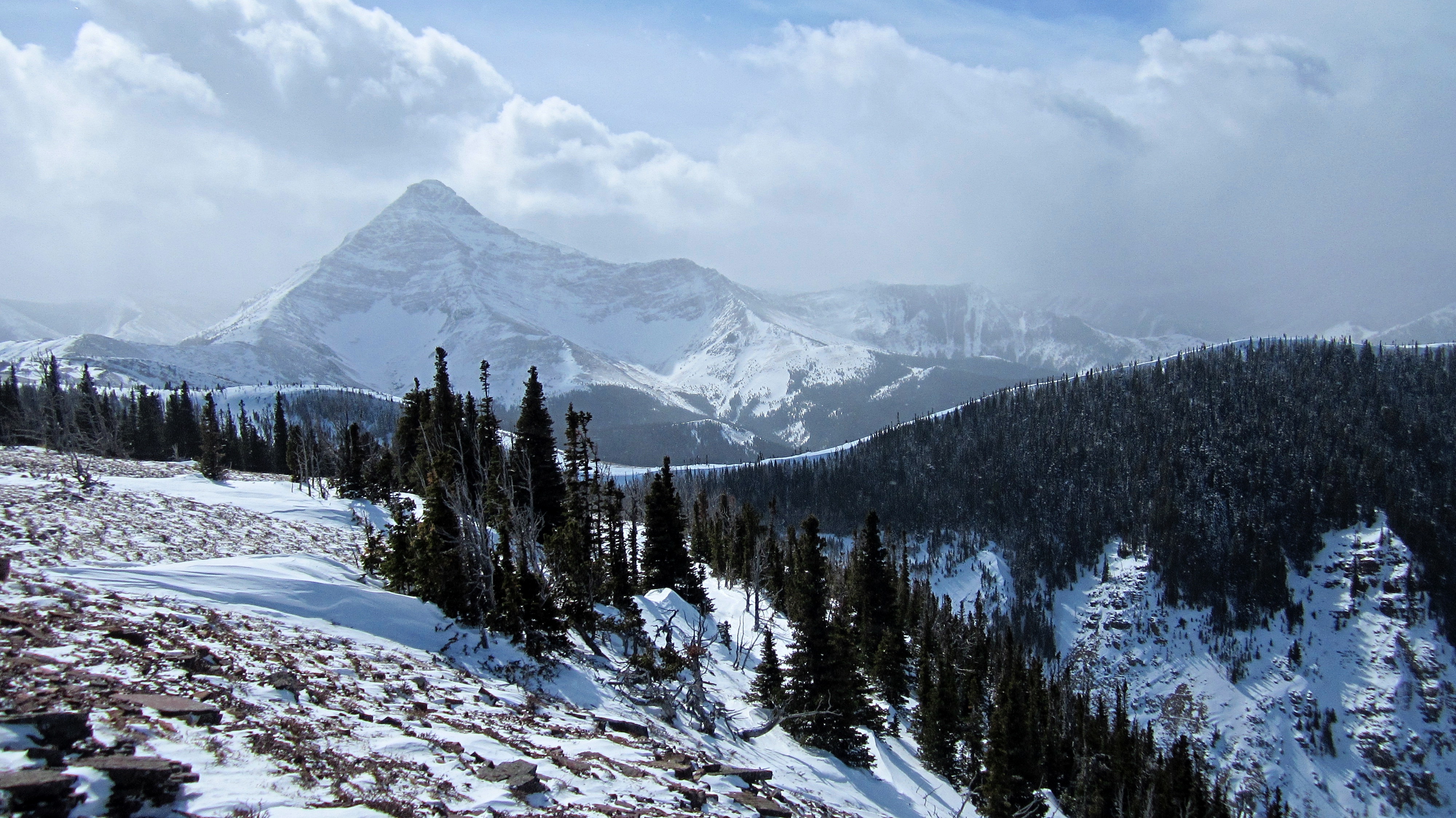
March 25 –Looking southwest as snow begins to envelop Victoria Peak.

March 25 – Looking to the west at “Whitney Creek Mountain” (foreground), “The Toe” a.k.a the north end of Gladstone (middle distance), Table Mountain, and “Table Top” (far left).

March 25 – Christie Mine Ridge sits to the east on private land. I’ve made contact with the land owners and hope to be able to hike it someday. I descended back to my 4Runner and even though I had been able to take in some nice views, I was disappointed not to have reached the summit.
Now, fast-forward to today…

Back at the Mead Creek intersection on the West Sharples Creek Road. A nice gentleman from the Waldron Ranch stopped to chat and told us that hikers were free to access Ky-es-kaghd-oghsuyiss (the Porcupine Hills) across the section land next to the road. The beginning of the ridge that leads to Sand Bluff is on the far right. You can see on the left, that we made it no further up the Skyline Road than I did the previous week.

A closer look at the beginning of the ridge from the West Sharples Creek Road.

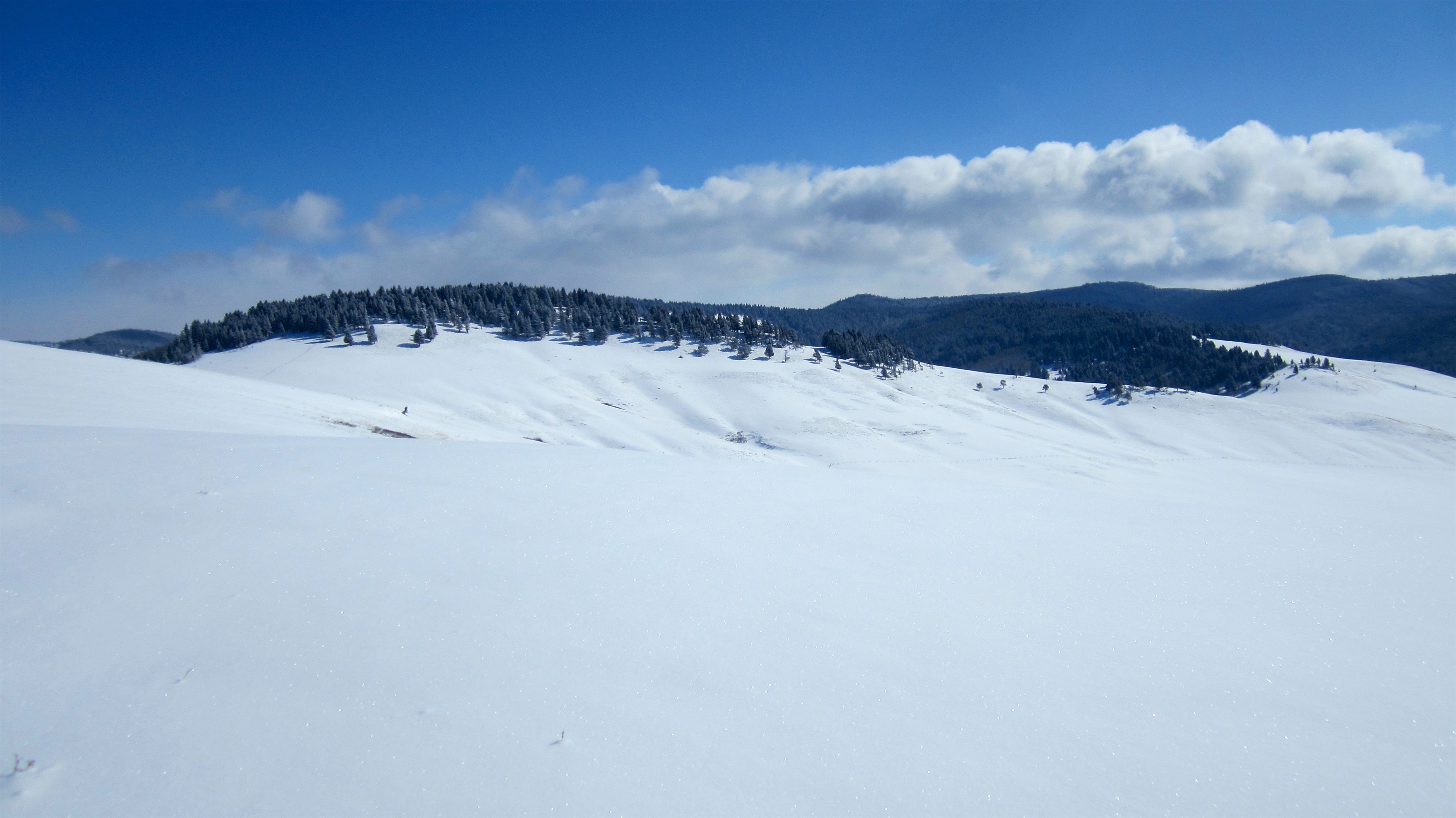
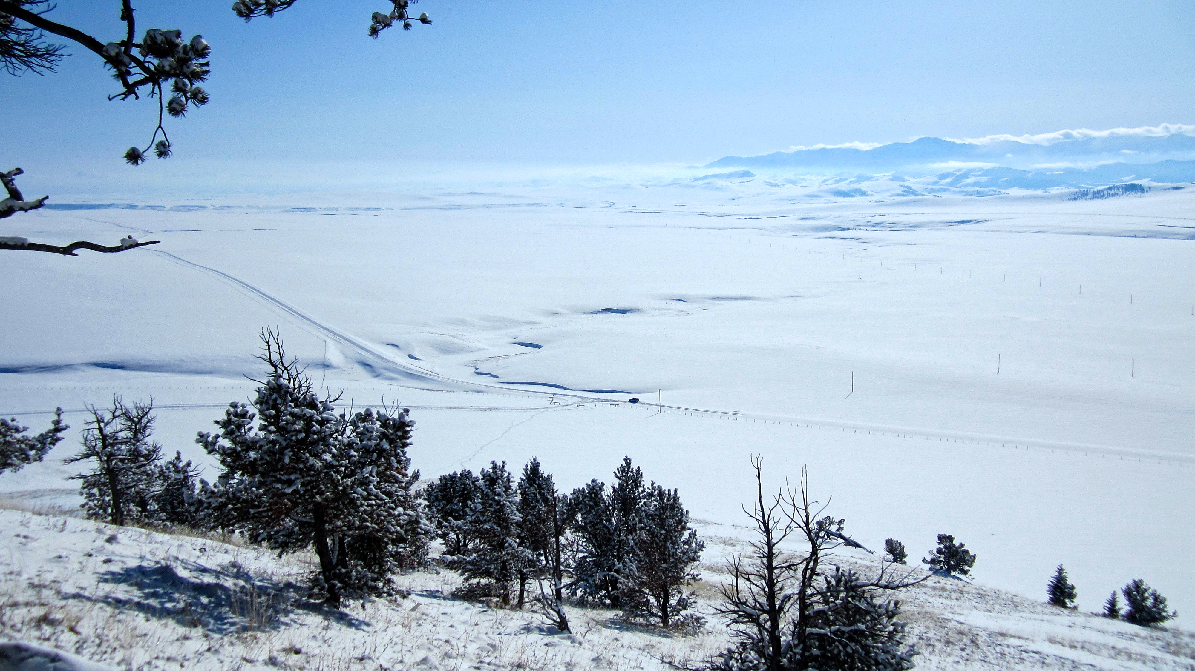
Centre Peak looked majestic from our parking spot. With a starting temperature of -17c and a fresh blanket of snow, it’s hard to believe that it’s actually spring. In fact, earlier this morning, Pincher Creek hit -22c, making it the coldest March 31st in history. Winter just doesn’t want to take the hint this year! A heavy snowfall warning has already been issued for Easter Sunday and Monday.

Brad heads toward the ridge.

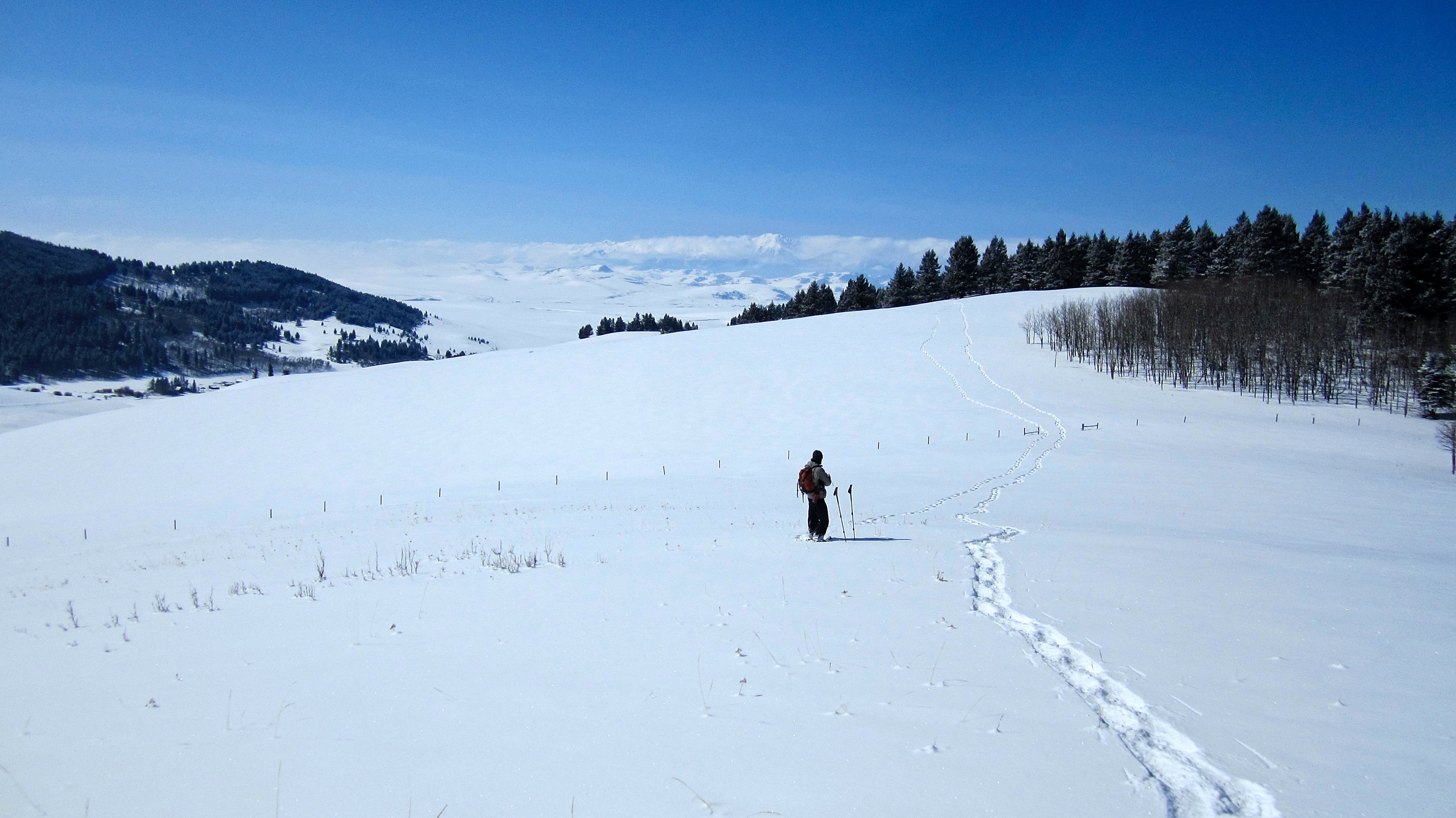
Sand Bluff (centre) looked a long way off from our starting point along the ridge crest.
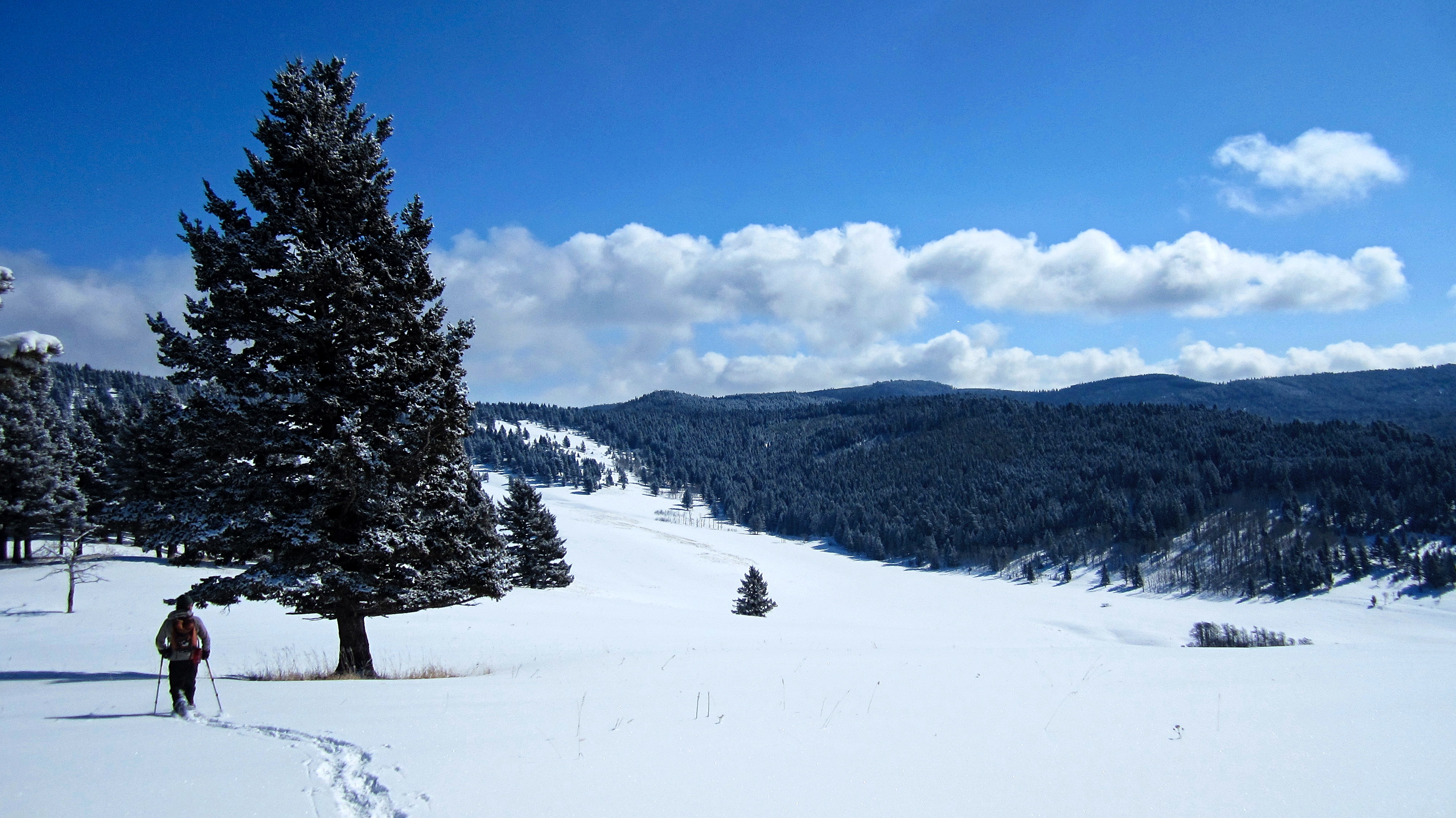
Once on the crest, it was hard to go astray as we followed it for ~6.5 km to the summit of Sand Bluff (right of centre).

Brad started off thinking he could go without snowshoes. He would soon change his mind.

Looking back to the start of the ridge.

One of many, very old Douglas fir trees that we encountered along the ridge. If you are interested in identifying unique trees, I’d encourage you to read, Alberta Trees of Renown: An Honour Roll of Alberta Trees (2nd edition, 1986), that was edited and written by my friend, Ron Hammerstedt. This book highlights specimens that are famous for characteristics such as great size, old age, survival, and historical value. The link above goes directly to a .pdf of the book.
The summit (right of centre) stills seems far away… 😉
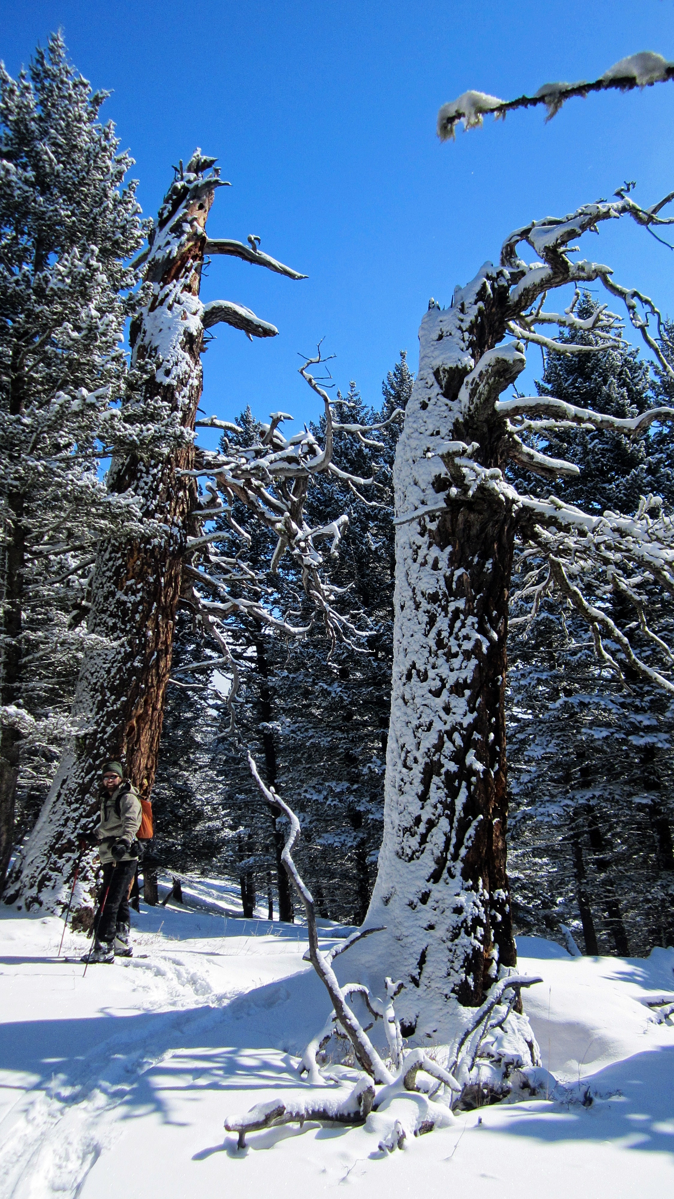
Brad stands in front of the remnants of two Douglas firs.

Again, as long as you stick to the crest, it’s not hard to find your way to the summit (far right). We found the entire approach, an enjoyable experience.
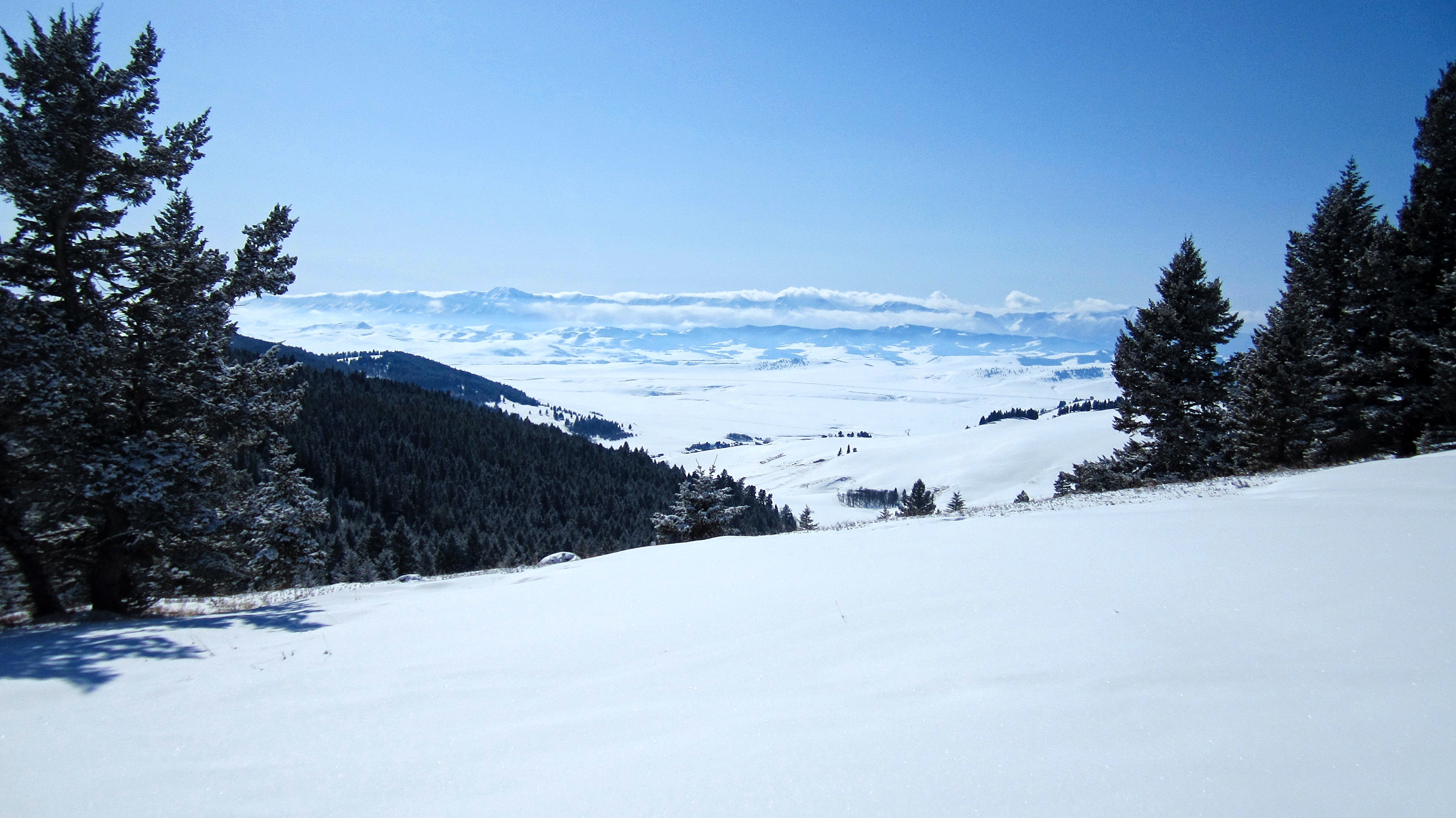
The first few kilometres along the ridge offer up some great views of the Livingstone Range.
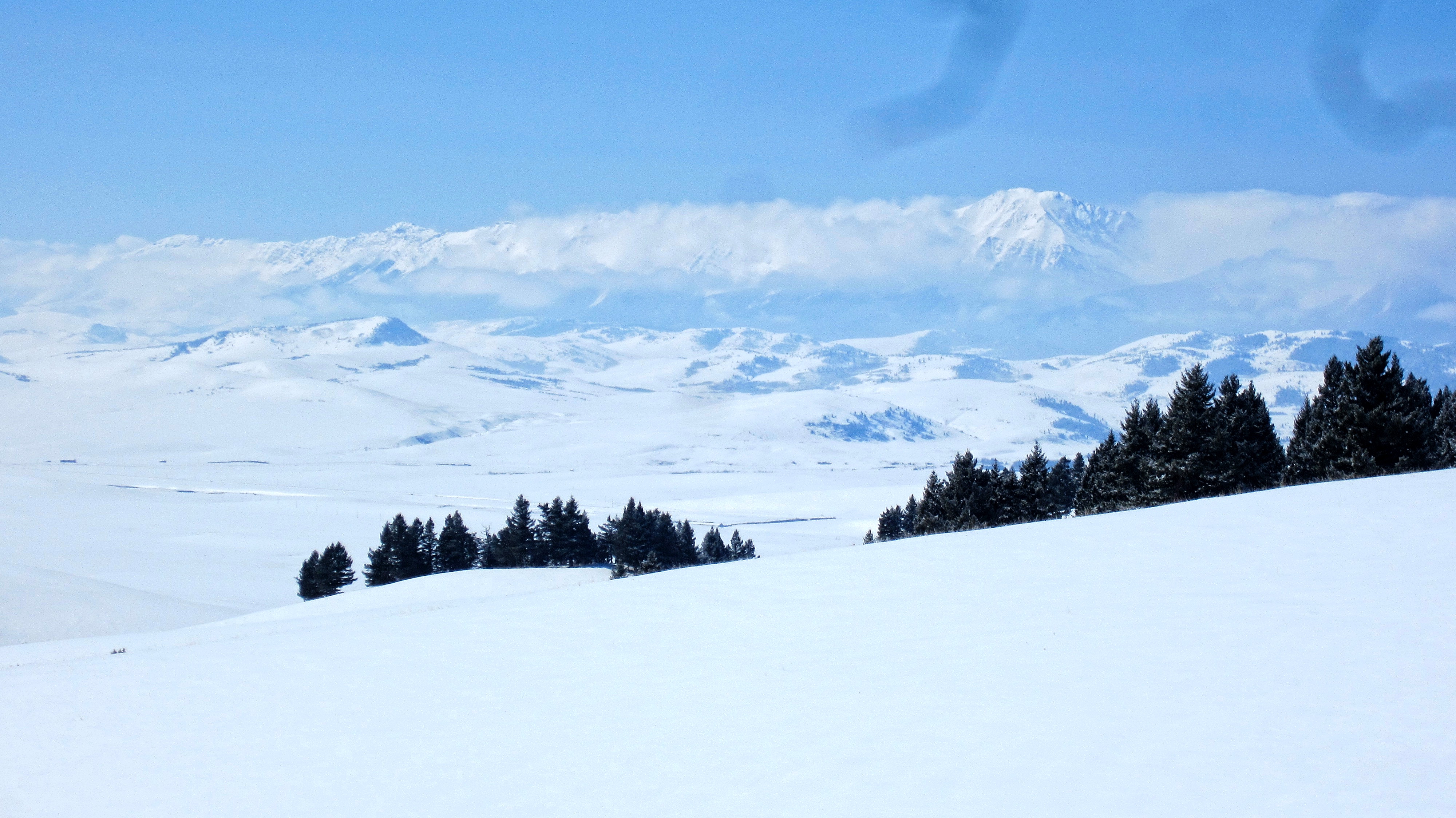
Apparently, my camera has some kind of digital worm living inside of it! 😉 The South Peak of the Livingstone is on the far left. Centre Peak is just to the right of centre.
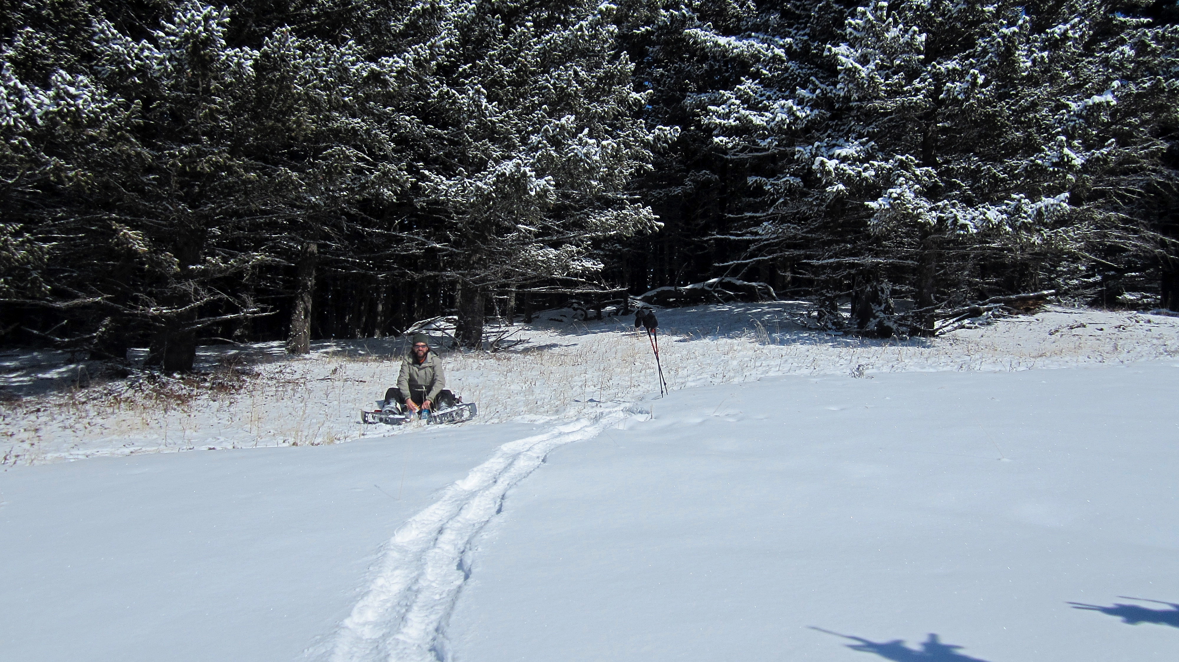
Brad enjoys a lunch break along the ridge. Besides the usual trail food, we also packed our trusty hiking flasks, with mine filled with sambuca and Brad’s with ouzo. We made it our mission to determine which liqueur was the better choice for snowshoeing. This of course, required lots of careful testing. 😉

I thought this log’s colourful striations were cool.

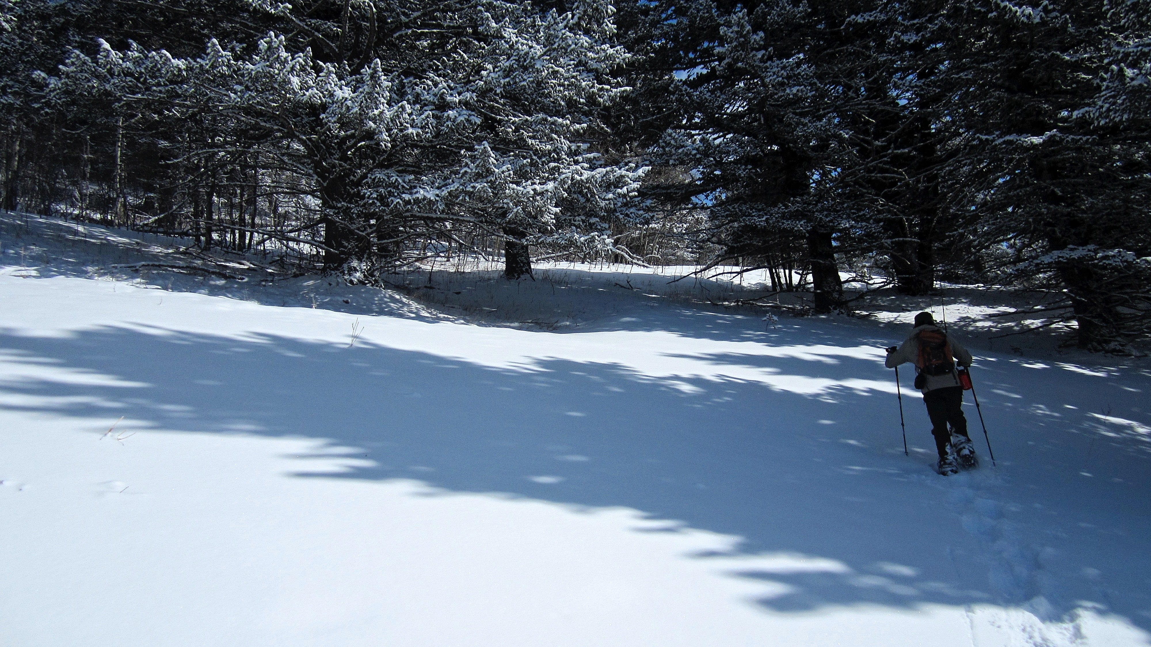
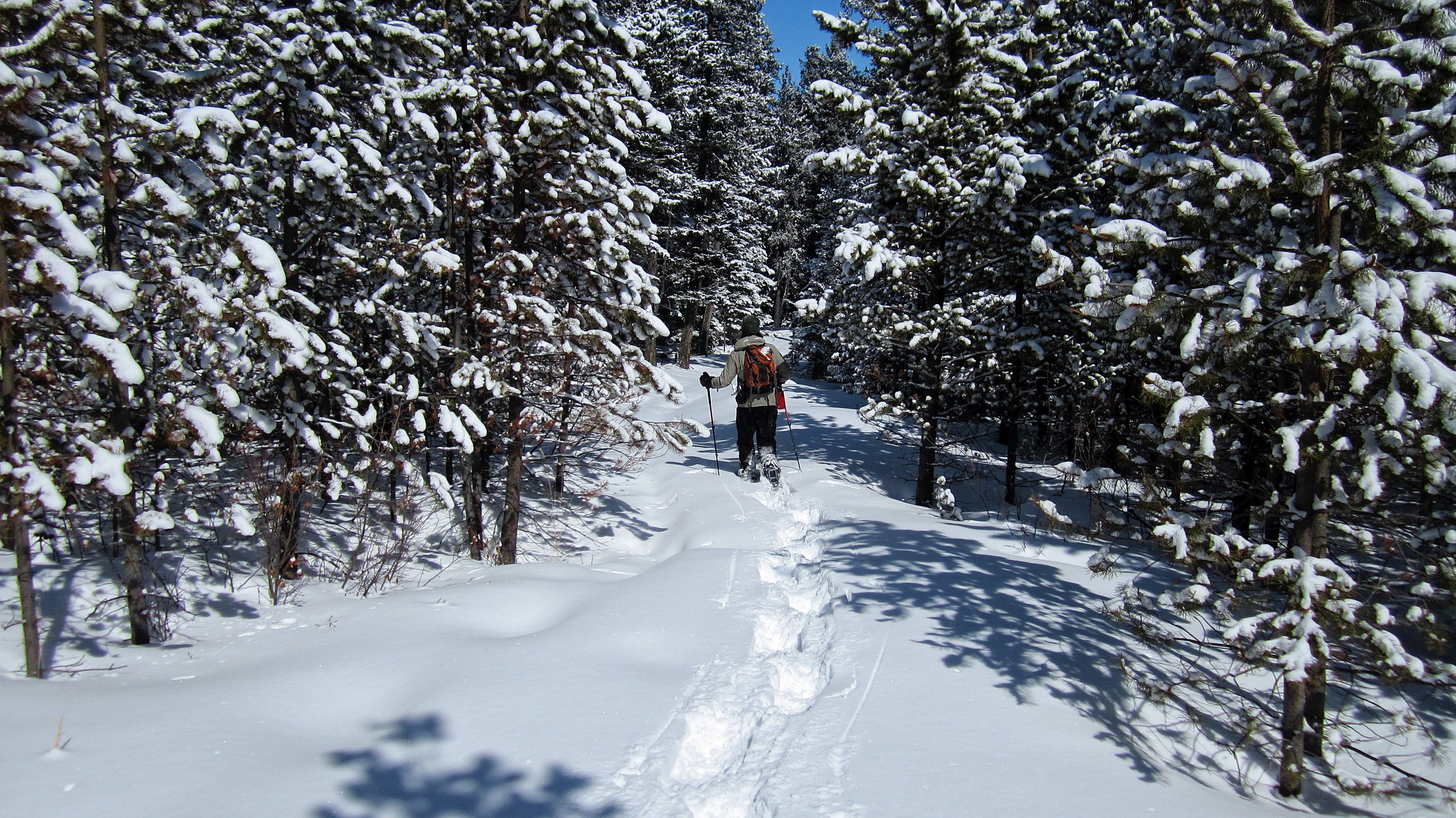
Entering a section of trees.

The fence shows how deep the snow actually was.

It was a gorgeous winter day! Wait, it’s March 31st… Maybe the seasons are changing just like they did in Monty Python and the Holy Grail? 😉 For proof, know that earlier in the day, southern Alberta towns such as Cardston, dropped 15c in only an hour.

Approximately 3.5 km into the trip, we came to a trail that we followed along the crest.

Just a few metres ahead from the previous picture. The trail skirted to the right around the heavily treed section in front of me. For reference, there is a small pond located next to the trail on the left, though it’s not shown in this picture (though it’s visible on Google Earth). There is also another trail that merges at this same location. (Photo by Brad Wolcott).

We followed the trail for ~250m from the pond before coming to a small fork (not pictured), where the left path returned to the crest and the main one bypassed it. We made the mistake of thinking that we could save time by using the bypass route. We then followed the trail across this open meadow and into the trees to the left of centre. The ridge crest is on the far left.

Shortly after emerging from the trees, the trail began to descend further into the valley, so we left it to regain the crest.
Making the steep hike back to the crest after leaving the trail.

We found a nice path along the crest. This was the trail that went to the left at the fork.

Brad follows the path into the trees.

Approaching some large sandstone boulders.

Our route would pass between the rocks.

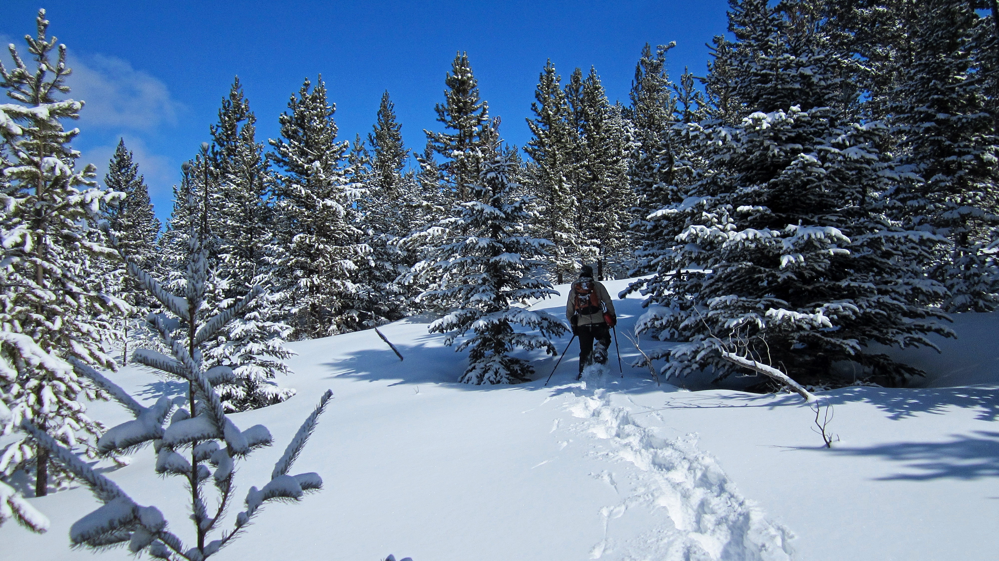
The snow became progressively deeper.

Walking in a winter wonderland! (Photo by Brad Wolcott)

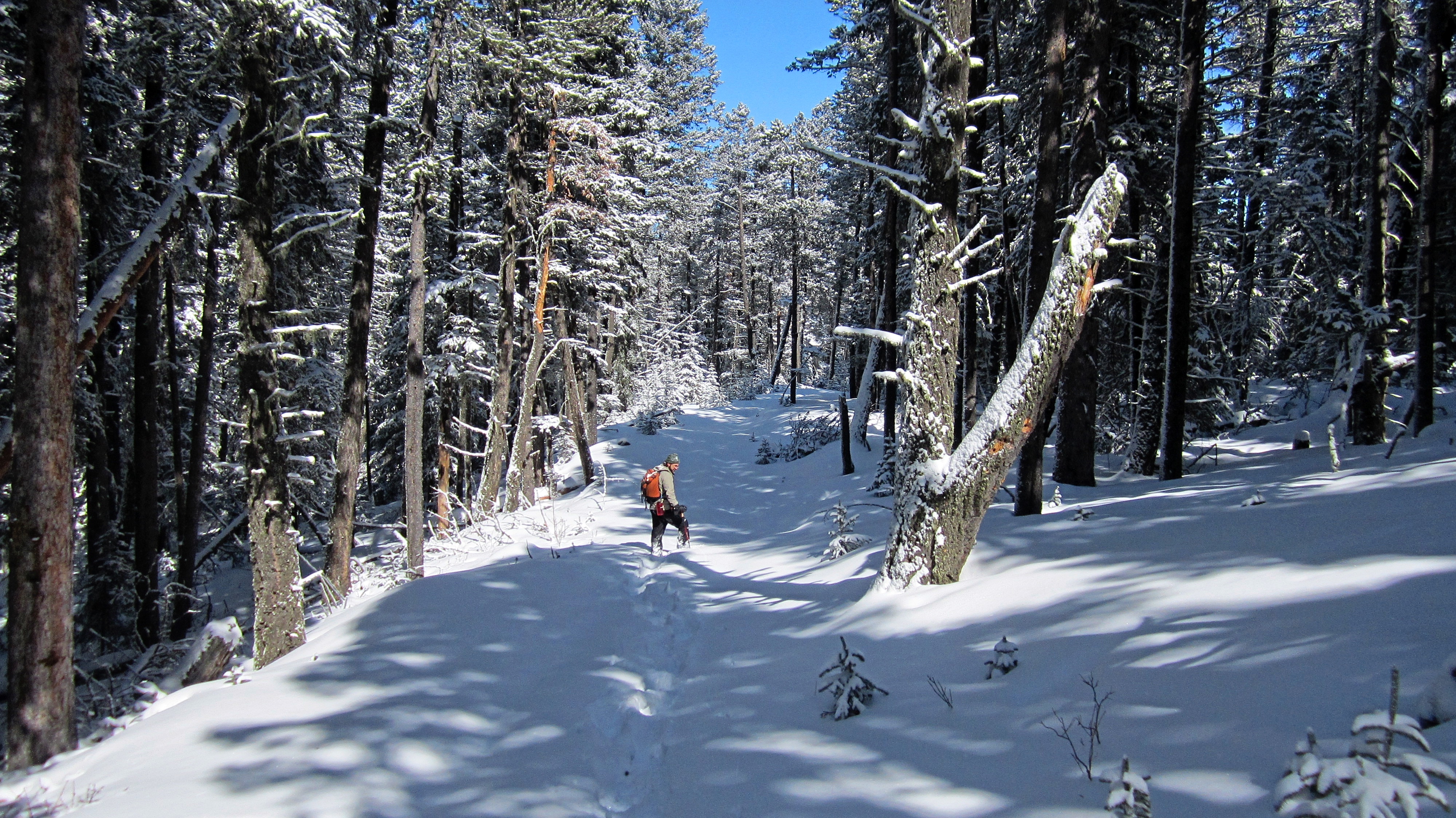
We came to a broad trail that led to the summit.

The summit of Sand Bluff (1771m my GPS, but in reality, it’s probably somewhere around 1759m).

The large sandstone formation from which the name, Sand Bluff is derived, is just through the trees in the background. We looked, but couldn’t see much of anything. Apparently, it is best viewed from the Heath Creek road.

Brad on the summit of Sand Bluff. Can you sense the magic?

This is how far you would sink every few metres, even in snowshoes. It’s a routine that gets old – and tiring – rather quickly.

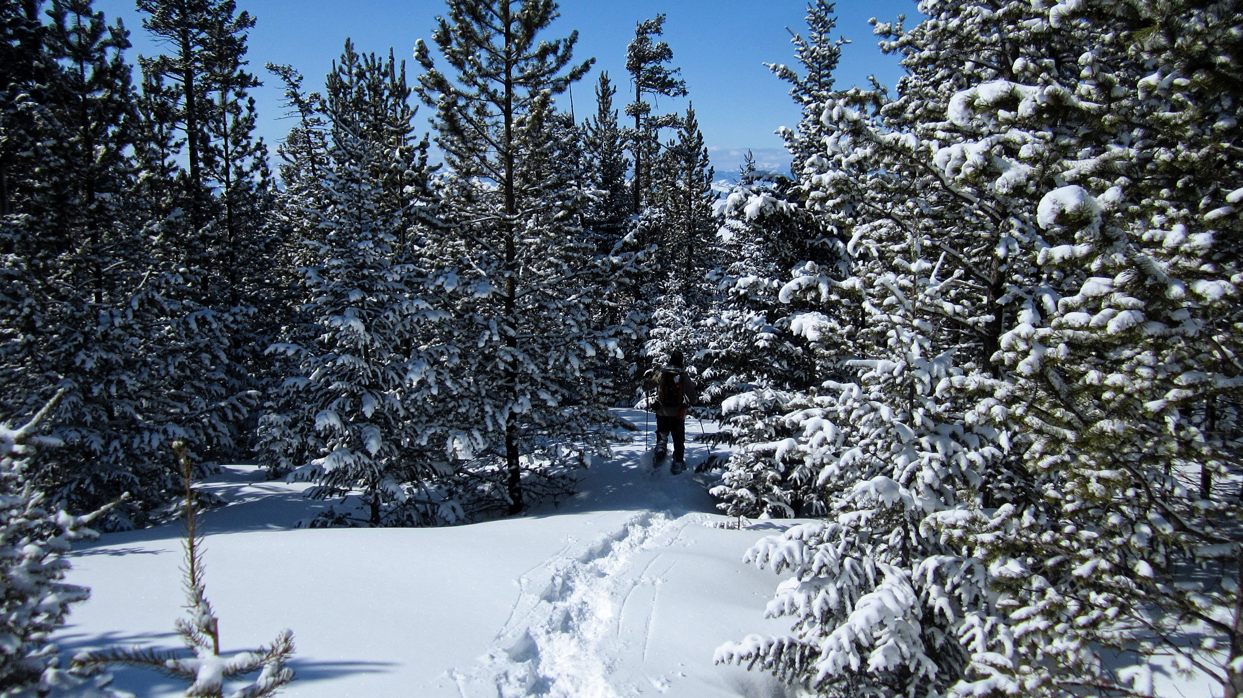
Heading from the summit towards the Porcupine Fire Lookout (distant centre).
The trail that followed the northeastern ridge was buried under deep snow.
Brad wisely decided to call off our attempt to reach the fire lookout after a short, but tiring ~600m expedition down the trail. The snow showed no sign of losing depth and at the rate we were going, it would’ve taken us another couple of hours to reach the lookout – followed by an ~8 km trek out the Sharples Creek valley and the West Sharples Creek Road.

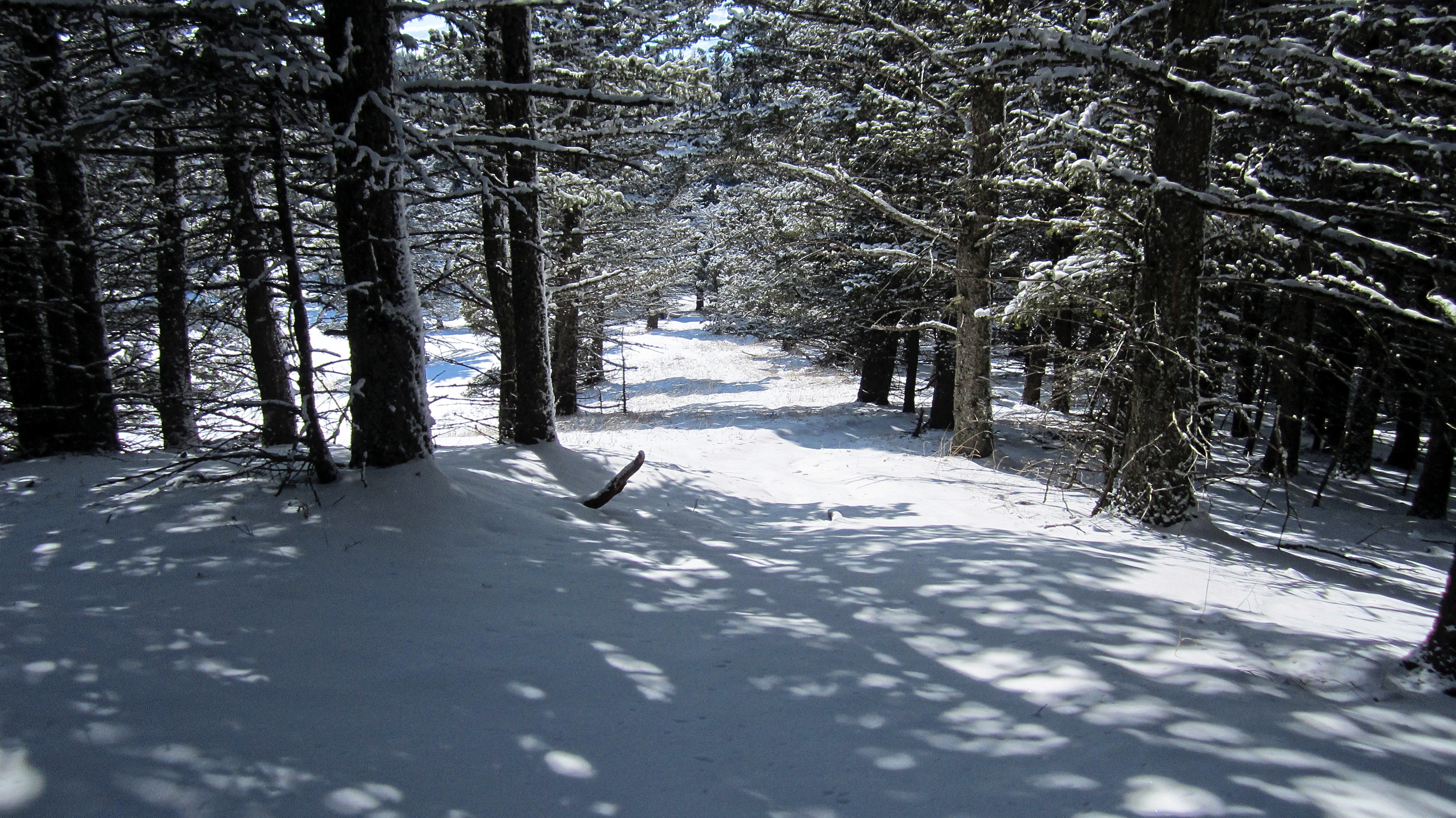
Heading back to the summit.

Back on the summit and searching for a view.

Looking back across the summit. If a summit view is a mandatory part of your outdoor experience, don’t snowshoe up Sand Bluff. If you just like to explore like we do, and a view is a nice bonus, then you might really enjoy the pleasant ridge walk. I doubt many hikers visit Sand Bluff and probably even fewer people snowshoe it, but we really had fun.

Leaving the summit.
Retracing our route along the ridge.

We followed the path the entire way back, and avoided leaving the crest like we did on the way up. Here, Brad stops beside a fallen Douglas fir to look at the Porcupine Fire Lookout.

The Porcupine Fire Lookout is the smaller of the two towers.

This gives some perspective as to the size of the tree.

The west end of the small bump that is located ~2 k from the summit. We had bypassed this on the way up after choosing the wrong trail.

A telephoto of Caudron Peak (left) and Centre Peak (centre) (Photo by Brad Wolcott)
Following the trail we should’ve taken from the fork.
Arriving back at the fork. You can see that we almost chose wisely. 😉

Another view of Caudron Peak (centre) and Centre Peak (right).
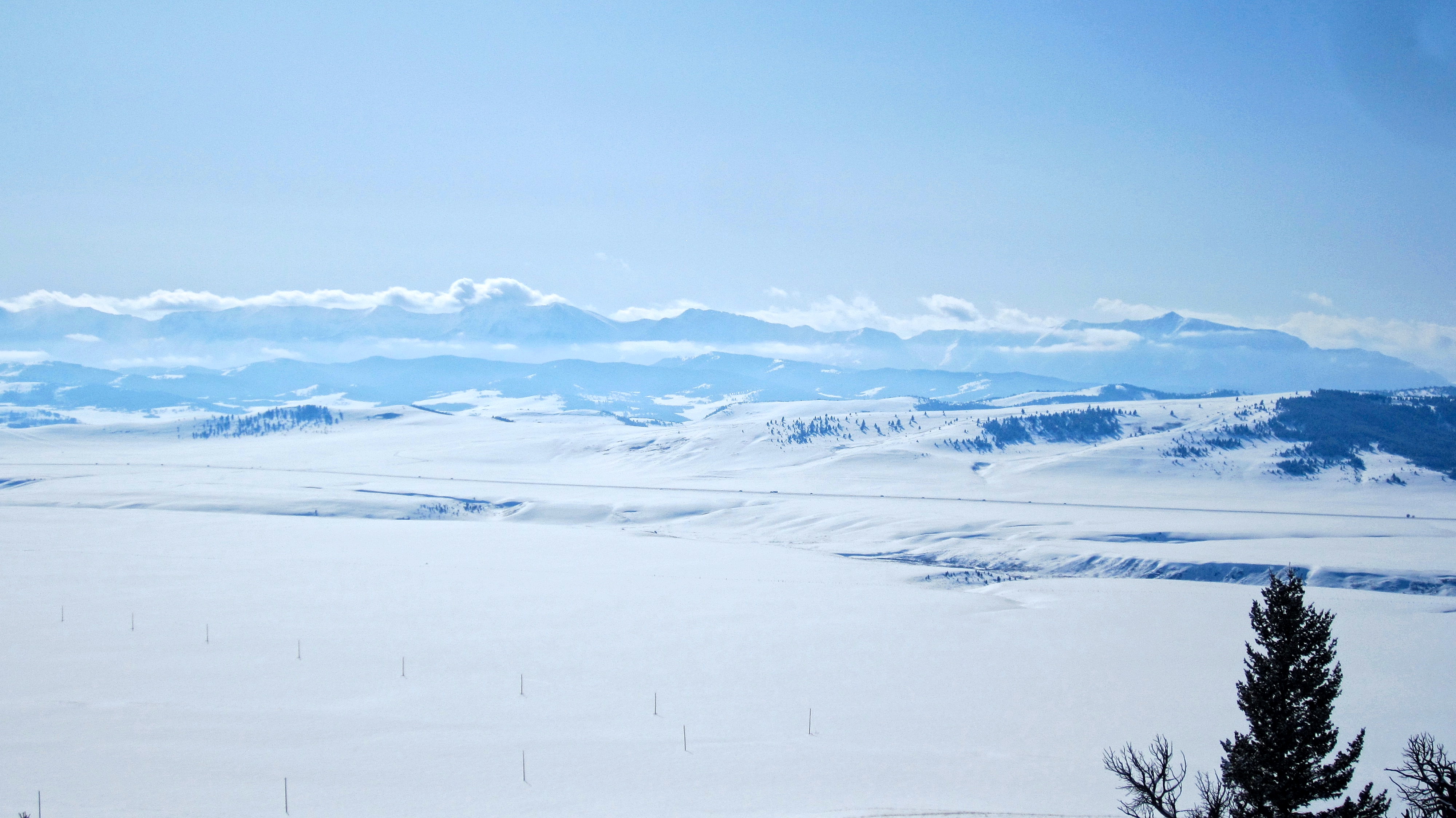
Once back on the lower section of the ridge, we were treated to some great views of the Livingstone Range. It was around this point, that we finally determined that sambuca bested ouzo as the liqueur of choice for snowshoeing.

A telephoto of Centre Peak (far left) and “Lightning Peak” (right of centre).

So much snow!
Looking back to the summit of Sand Bluff (centre). The trail forks just prior to the bump on the far left, with the left branch leading towards the crest. This bump is where Brad was pictured on top of the fallen fir tree and where the ridge narrowed.

Nearing our starting point on the ridge.

Black Mountain (centre) and the Whaleback (left) are situated to the northwest.

All that glitters is snow.

The landscape was painted white as far as we could see.

Looking back along the ridge towards the summit (centre).
“Lightning Peak” (left of centre) and Thunder Mountain (right) were no longer beclouded.
The view down to my 4Runner.

Brad descends off the ridge.

Fuelled by ouzo and sambuca, 😉 Brad sprints the remaining distance to my 4Runner. Now that we’ve concluded that sambuca is preferable over ouzo in a winter flask, our next taste challenge will pit sambuca against sortilege – the French Canadian drink of choice for winter activities. Which one will come out on top?

Looking back to the summit of Sand Bluff (centre) from our parking spot along the West Sharples Creek Road. Despite not having much to offer for views, the snowshoe along the ridge to the summit was highly enjoyable. I’m not sure if anyone else will find this to be an appealing snowshoe, but it could make for an interesting shoulder season destination or loop if you include the Porcupine Fire Lookout. That being said, if the West Sharples Creek Road and/or the Skyline Road are drivable, you could probably tag both summits in a very short period of time. All in all, this ended up being a great outing on a frigid winter… er, spring day.
Very nice! **
Thanks urzre!
We hiked Prairie Bluff the same day! Great minds must think alike 😉
Haha that’s awesome Ashley! Glad to meet another genius 😉 Which route did you use? I did it several years ago, but from the south.