


![]()
![]()

After a brief stay on the summit of Poker Peak, Andy and I set off for Ginger Hill via the southeast arm of Adanac Ridge. Since neither of us had been to Ginger before; nor had we ever set foot on the southeast arm, we were looking forward to exploring new terrain. The weather wasn’t great and it was rapidly deteriorating, as evidenced by approaching dark clouds from the north. However, we were committed to our loop and more importantly, we were prepared for whatever Mother Nature was going to throw at us.
Ginger Hill is another one of those weird official summits, where you ask yourself, ‘Why is this named?’. According to the Alberta Geographical Names Web Map, the names for both Ginger Hill and Maverick Hill were officially approved by the Alberta government in August 1958 with federal approval coming in 1959. However, the site notes that the origin of both names is unknown.
Anyway, at 1611 m, Ginger Hill is rather anti-climactic, but it does make for a nice objective to end the day with. Finally, a huge thanks to Sonny Bou for posting what Vern Dewit calls, “a legal route up Ginger”. As always, Sonny’s posts are super helpful and I’m grateful for his efforts.
Be sure to read Andrew’s awesome report!
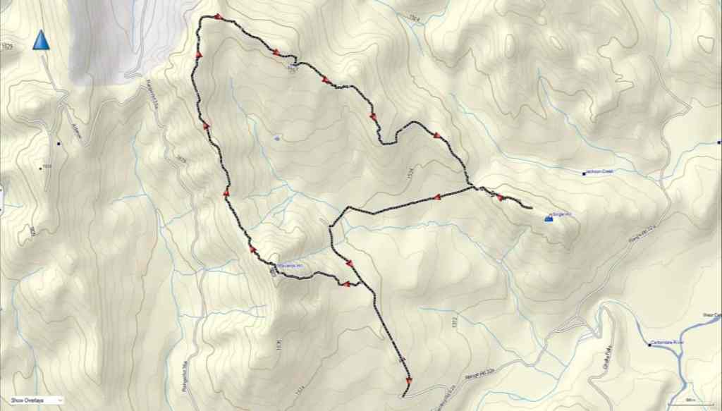

To get to our starting point for Maverick, Poker, and Ginger, we drove west from Pincher Creek along Highway 507 to the hamlet of Beaver Mines. At the T-intersection on the edge of town, we turned right (north) and continued on Highway 507 for ~5.2 km until we came to Township Road 64A. We then turned left (west) and followed the gravel road for ~13.7 km until we came to a side road on the right that led towards a Shell gas well. We turned onto the road and follow it for ~600 m until we came to a locked gate on a hairpin curve. This was our starting point.
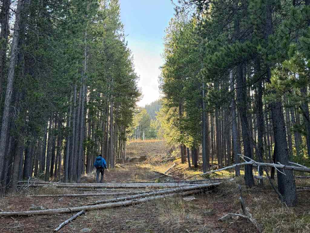
From my truck, we hiked along the gas road for ~1.4 km (137 m elevation gain) until we came to a gas well on our left. The well is situated at the base of Maverick and our route started at the north end of the large gravel clearing. An obvious path led onto the slopes of Maverick, but it soon disappeared. However, the route was super straightforward up mostly open slopes. It took us only 45 minutes to reach the summit (1875 m) from the road over ~1.2 km (302 m elevation gain).
From Maverick, we then repeated my April 2016 trip along the ridge to Poker Peak (1935 m). This was an easy ~2.7 km hike that took us almost exactly 1 hour (284 m elevation gain / 206 m elevation loss). The terrain is open and we endured a constant west wind combined with intermittent flurries.
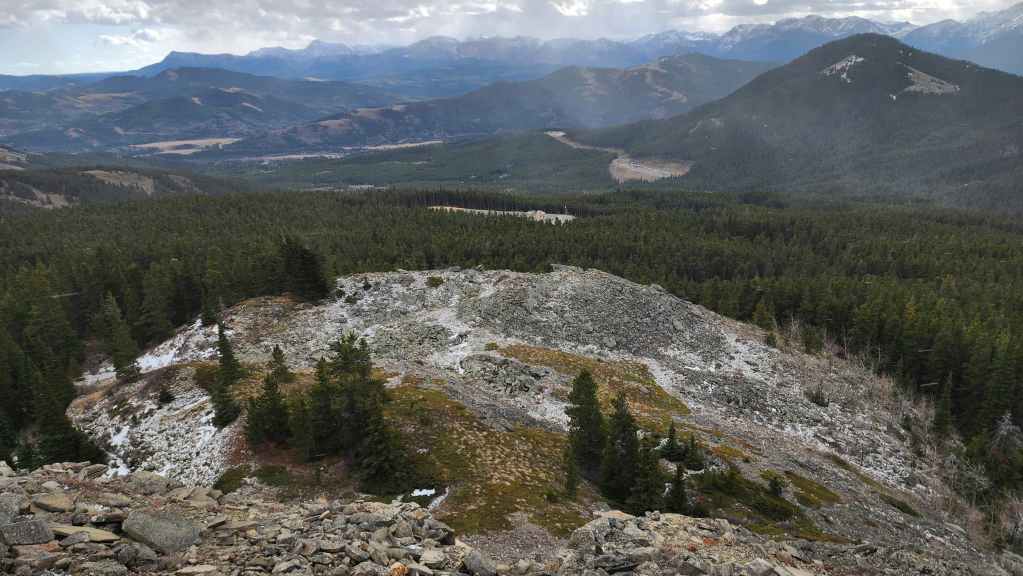
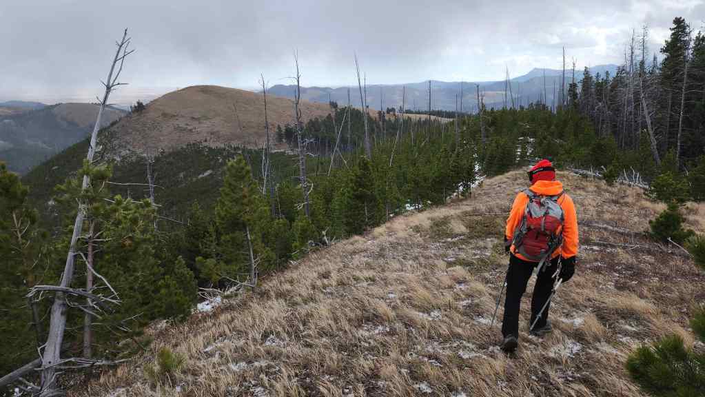
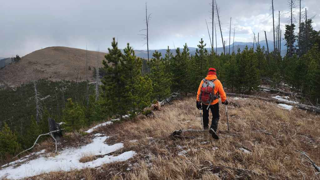
After a very brief stay on the summit of Poker, we set off for Ginger Hill (1611 m). The southeast arm of Adanac Ridge begins just to the north of Poker and connects with the main ridge at a common high point. The hike is interesting, in particular, the rock formation located beneath the highest point of the ridge. The two trickiest parts are: avoiding the deadfall in the small section of new growth just beyond the rock formation and; staying on course towards Ginger once you enter a larger section of forest. To avoid the deadfall, we kept as far to hiker’s right as possible, and to navigate in the trees we relied on our topo map to maintain a constant angle to hiker’s left. Arriving at and then following an old road brought completely back on track.
Once at the col for Ginger, it was a straightforward, 20 minute ascent over ~800 m (147 m) to reach the summit (1611 m). In total from Poker Peak, it was a ~6.3 km hike (310 m elevation gain / 662 m elevation loss) that took us 2 hours and 20 minutes.
Being blasted by wind and snow on the summit shortened our stay and we returned to the col where and the very obvious trail that Sonny and Vern had used. The ~1.8 km (110 m elevation gain) hike back to the road was easy thanks to the great trail and the elevation gain was negligible until the final 100 or so metres before reaching the road, where the trail climbed steeply. In total, it took us only 30 minutes to reach the road from the col.
An easy ~800 m walk along the road brought us back to our starting point for Maverick, and from there, we repeated the ~1.4 km walk back to my truck.
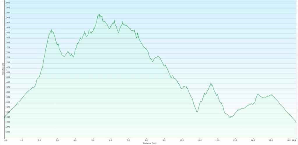

Our total roundtrip distance was 17.2 km with a total elevation gain of 1317 m. Our total roundtrip time was 5 hours and 56 minutes. For reference, the ~6.3 km hike from the summit of Poker Peak to the summit of Ginger Hill, took us 2 hours and 20 minutes (310 m elevation gain / 662 m elevation loss).
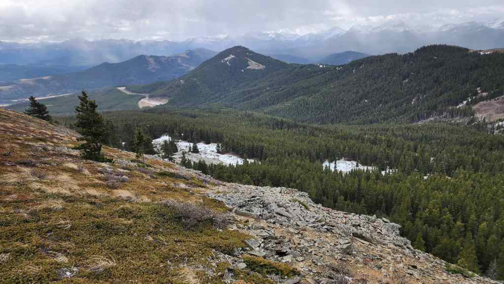
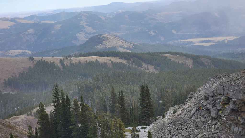
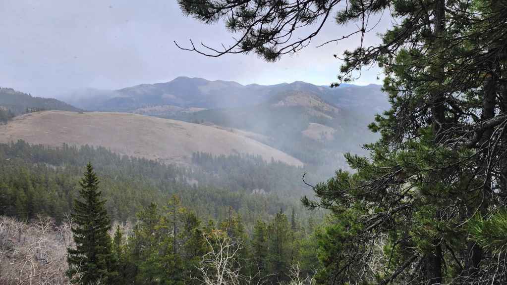
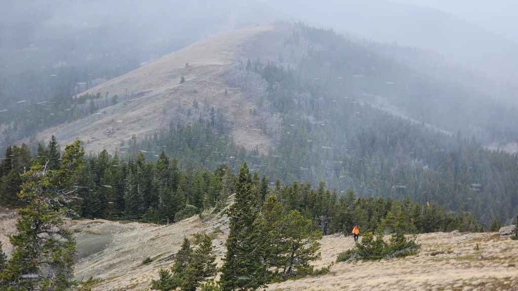
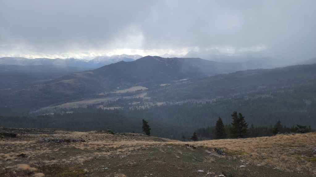
Ginger Hill (centre) from the summit of Poker Peak. It’s hard to believe that Ginger is an official summit.
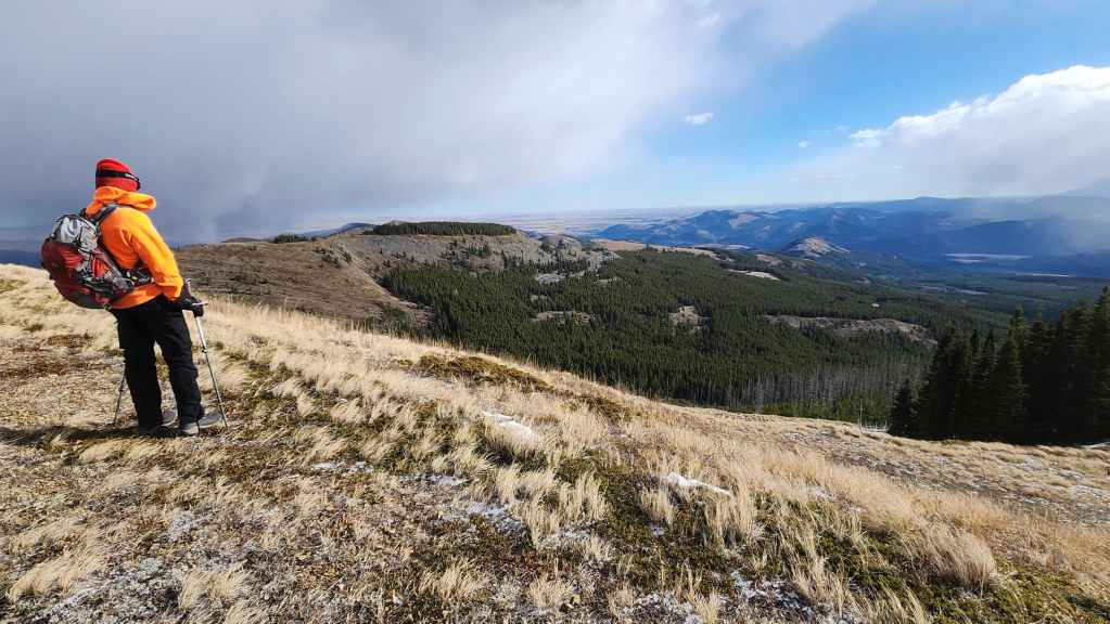
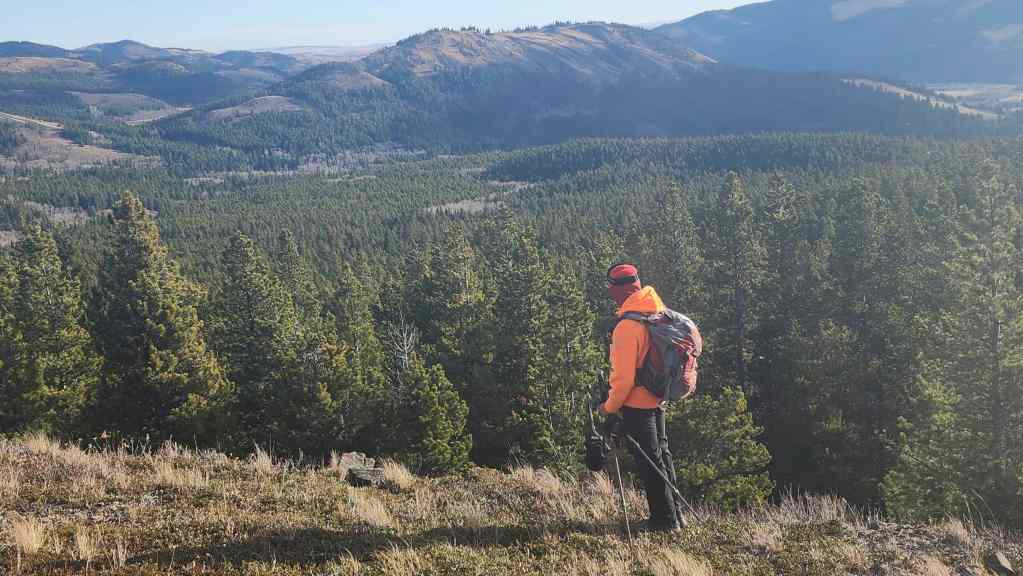
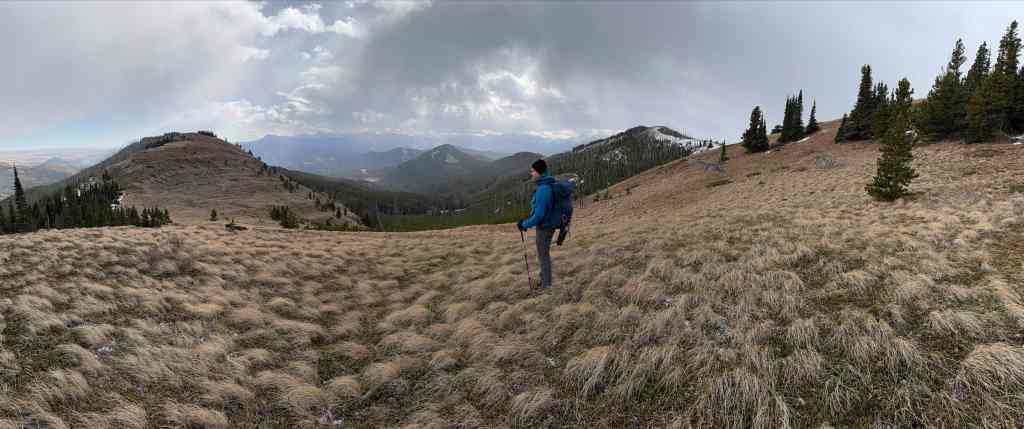
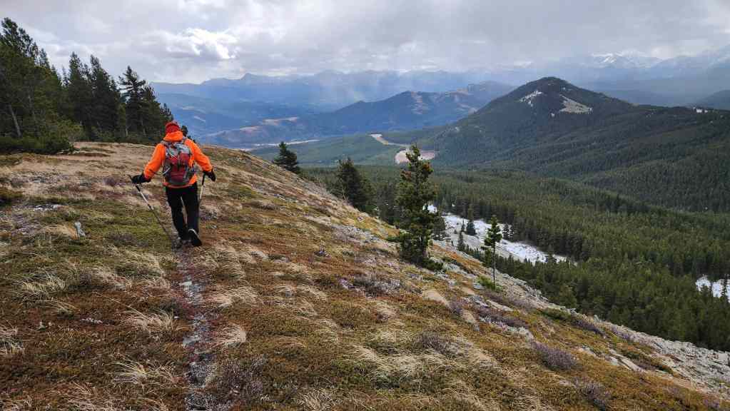
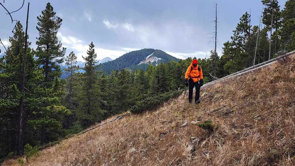
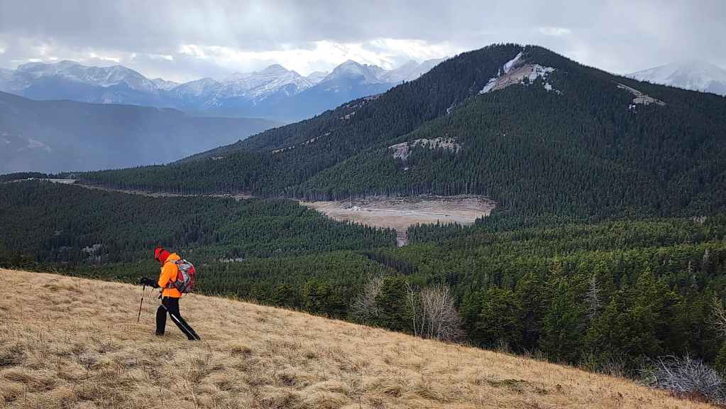
Andy scopes our proposed route along the southeast arm of Adanac Ridge.


Leaving the summit of Poker Peak and heading north to where the southeast arm joins the main ridge. (Photo by Andrew Nugara)

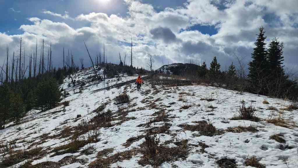
Snow is already starting to accumulate…
Looking back to the summit of Poker Peak (right).
Arriving at the high point where the southeast arm joins the main ridge.
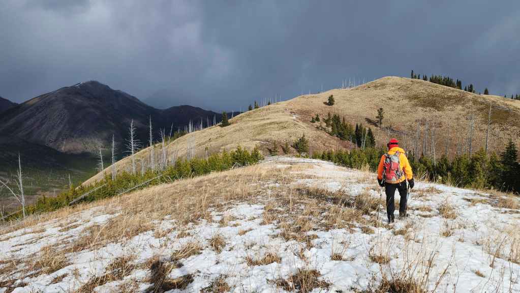
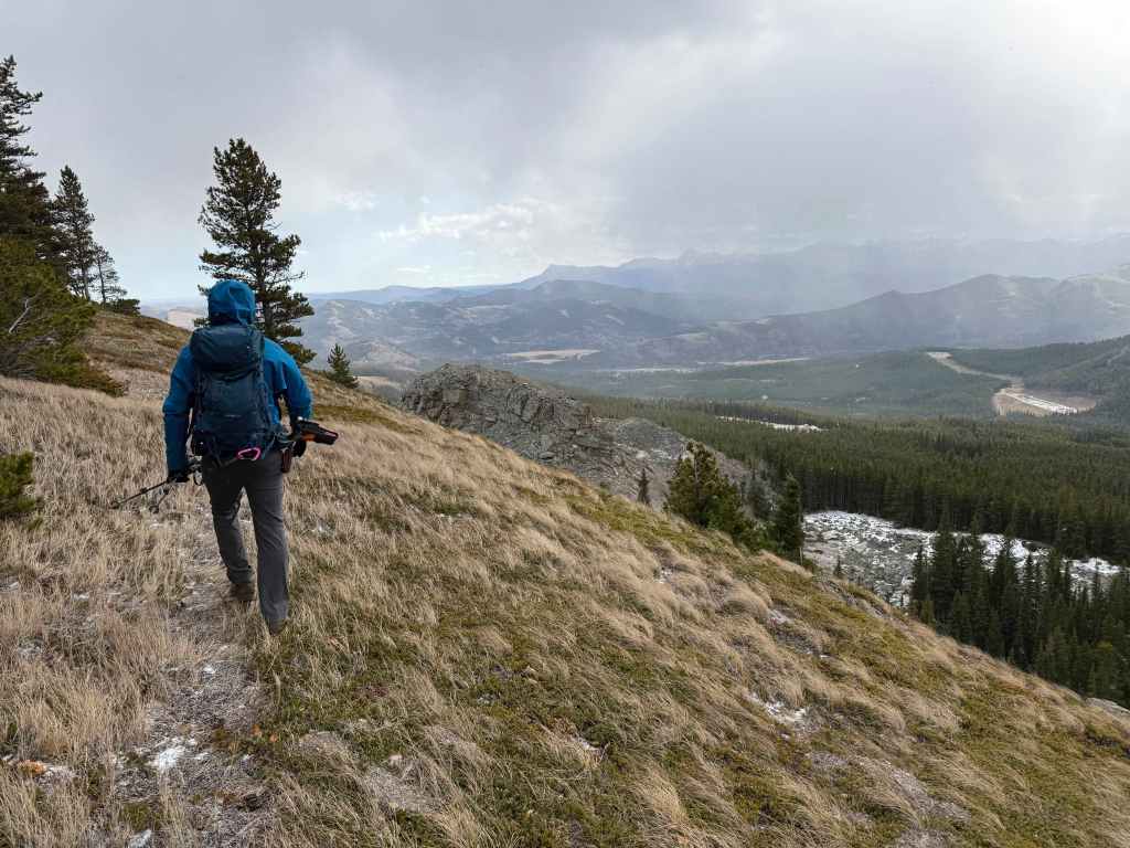
The sky over Hillcrest Mountain remains menacing. (Photo by Andrew Nugara)

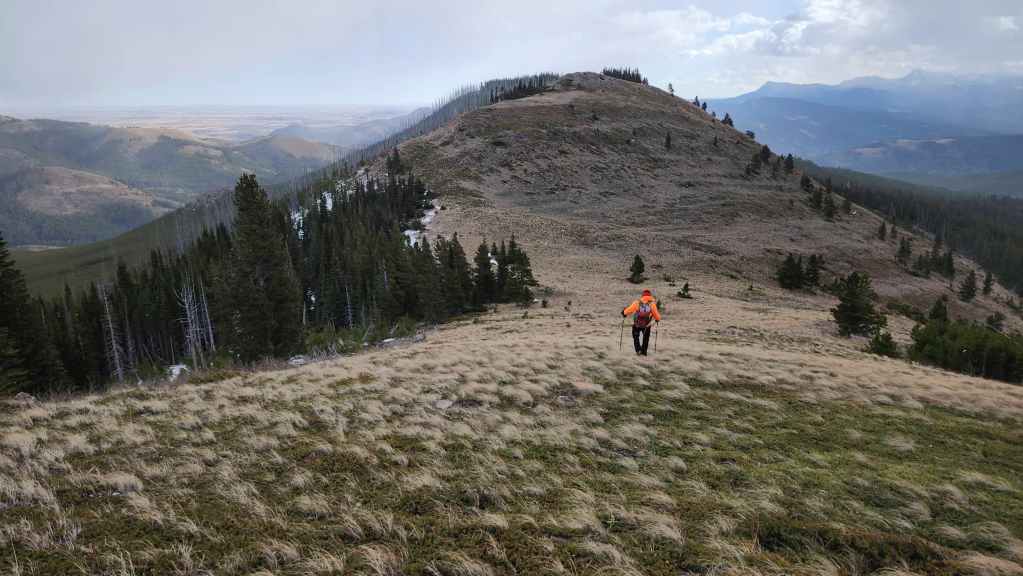
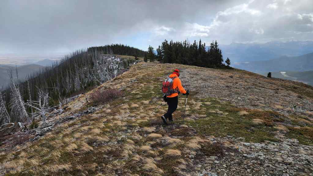
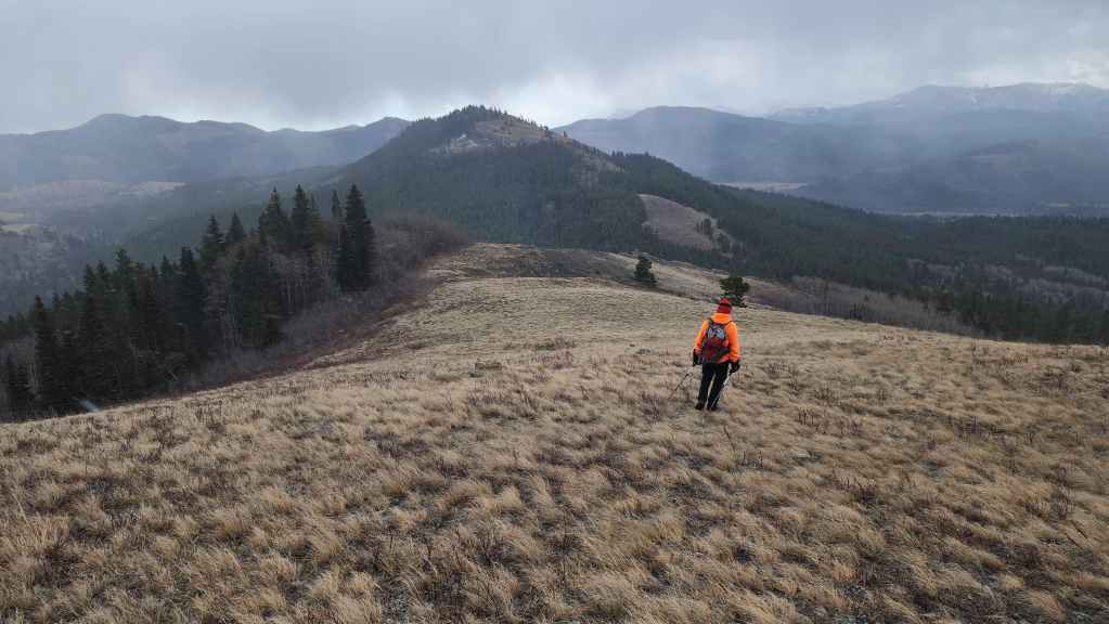
Heading onto the southeast arm (left) with Poker (right) and Maverick (centre) behind me. (Photo by Andrew Nugara)
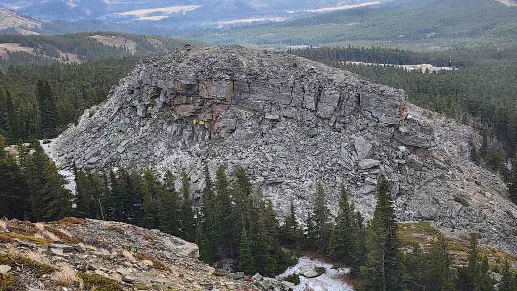
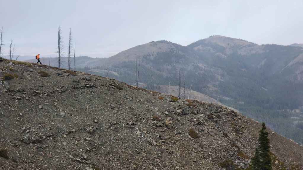
Approaching “Flattop”.
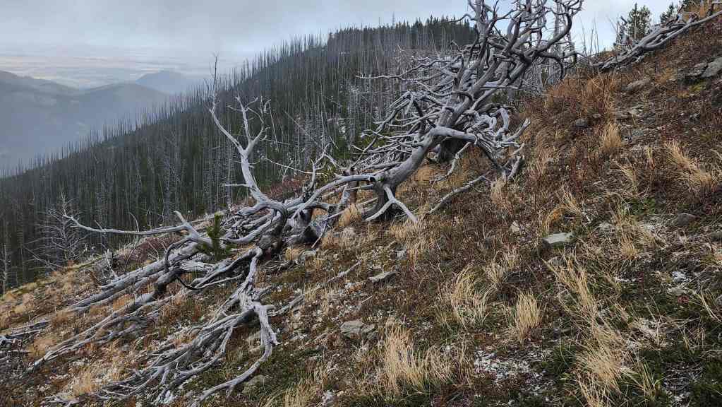
A cool section of drywood.
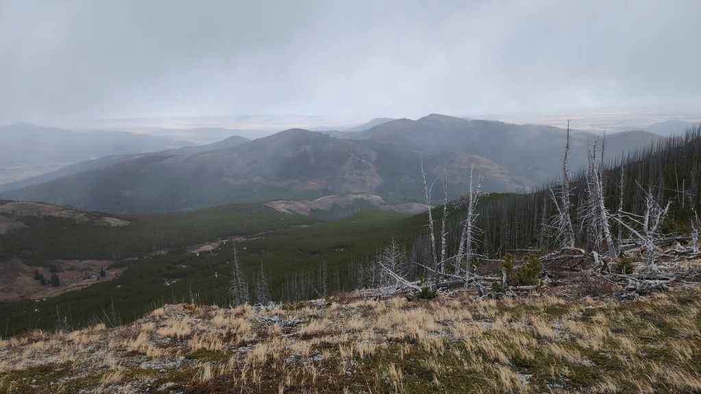
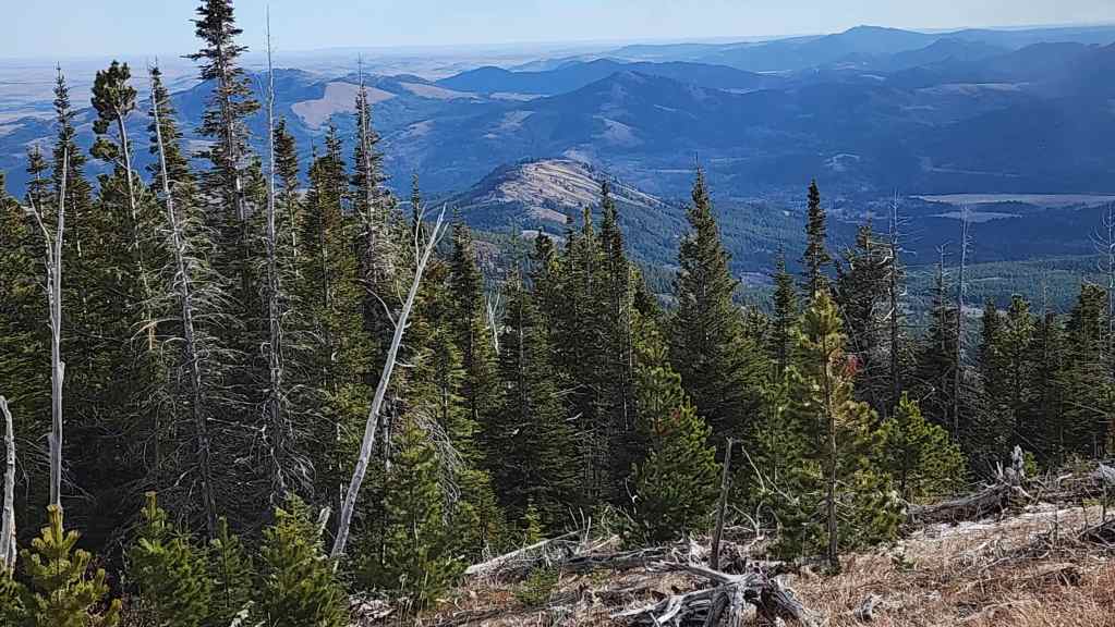
Looking east and towards Byron Hill (right).
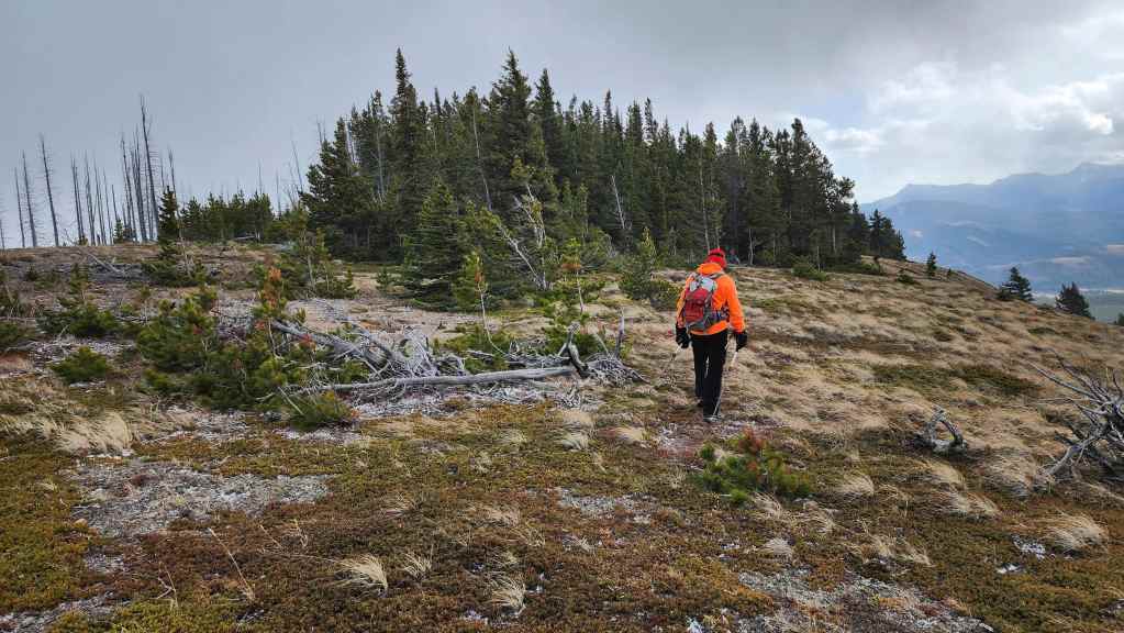
Arriving onto “Flattop”.
We will stay to the right of the haircut.
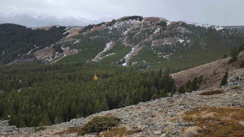
The view over to Poker Peak highlights a lone tamarack tree in the valley.
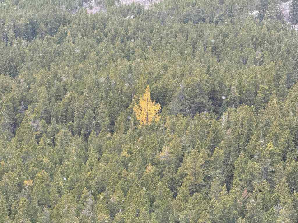
A closer look at that lone tamarack. (Photo by Andrew Nugara)
From the same vantage as the previous photos, but now looking over at Maverick Hill. (centre).
Following a good trail – a natural part perhaps? 😂
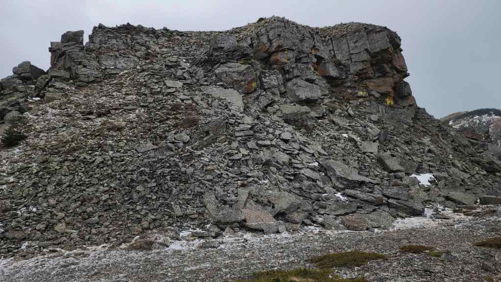
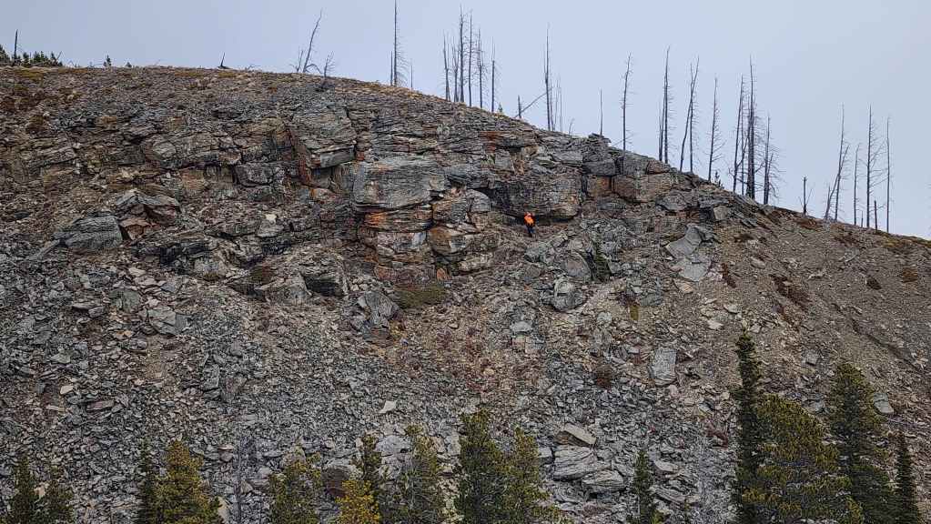
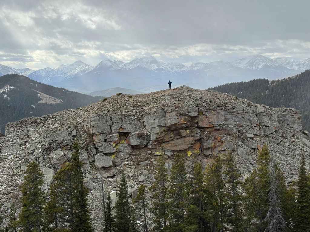
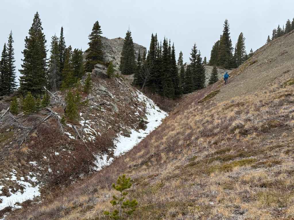
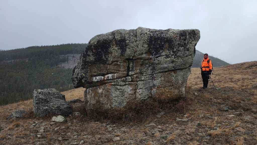
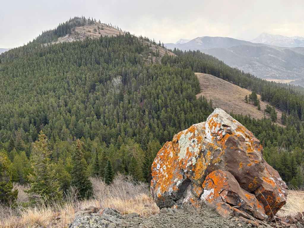
We were surprised to come across a super cool rock outcrop. (Photo by Andrew Nugara)
A better view of the outcrop. It reminded us of what you might see in the high alpine; hence, why it was so unexpected for us.
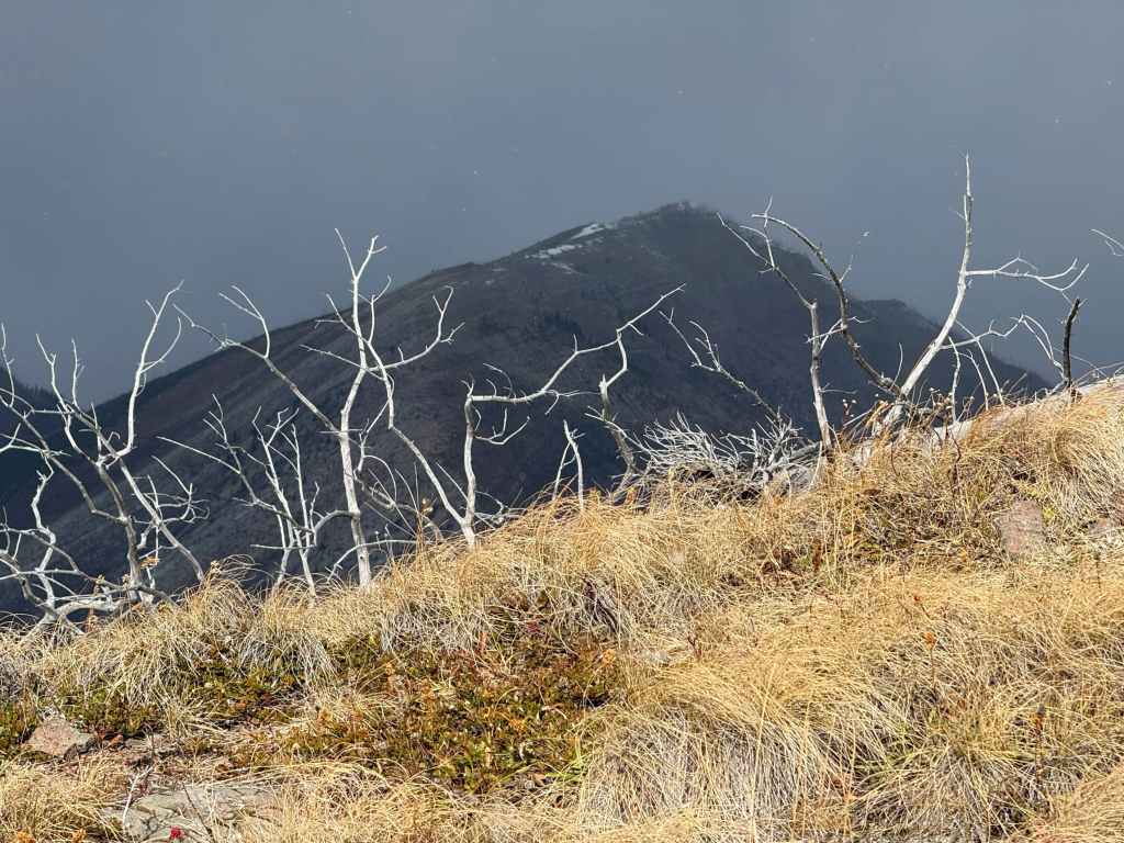
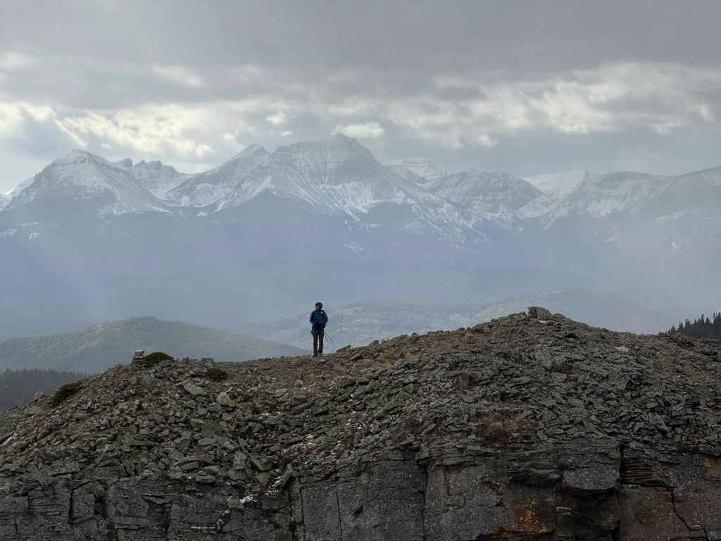
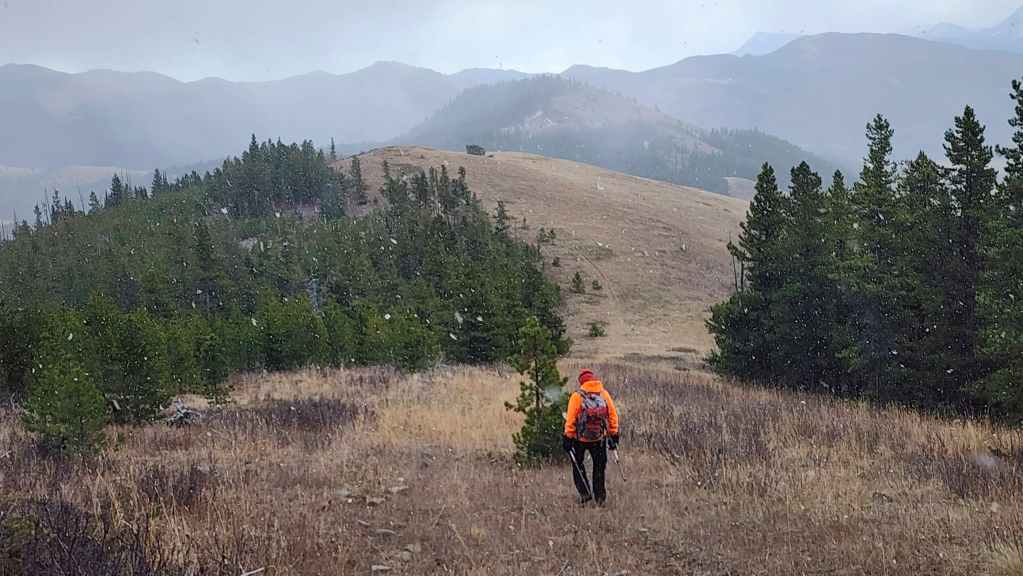
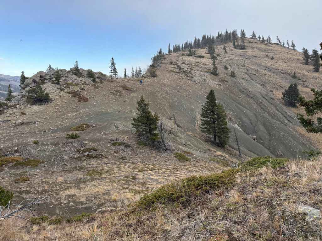
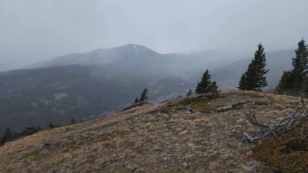
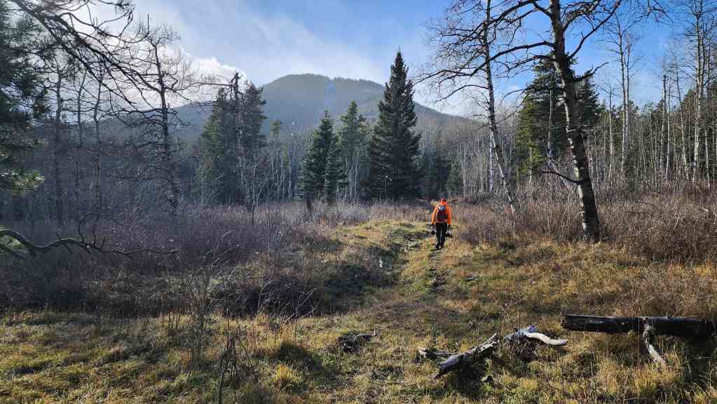
Ginger Hill (centre) is still a long ways off.

The view back to Poker Peak (right of centre).
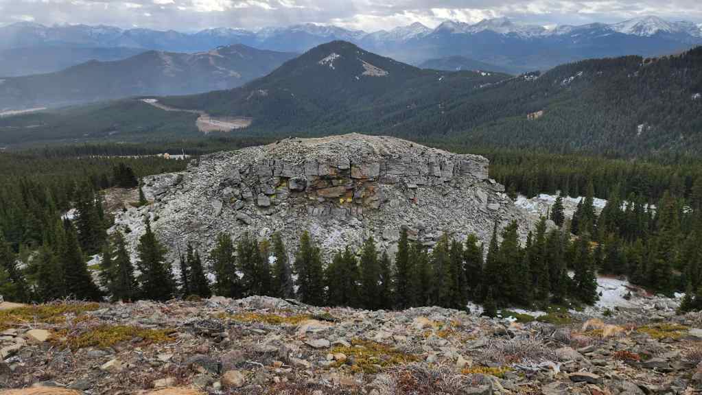
A better view of the outcrop with Maverick Hill (centre) in the background.
I could not resist leaving the ridge to investigate the outcrop. (Photo by Andrew Nugara)
I head down and over to see it up close. (Photo by Andrew Nugara)
Arriving at its base.
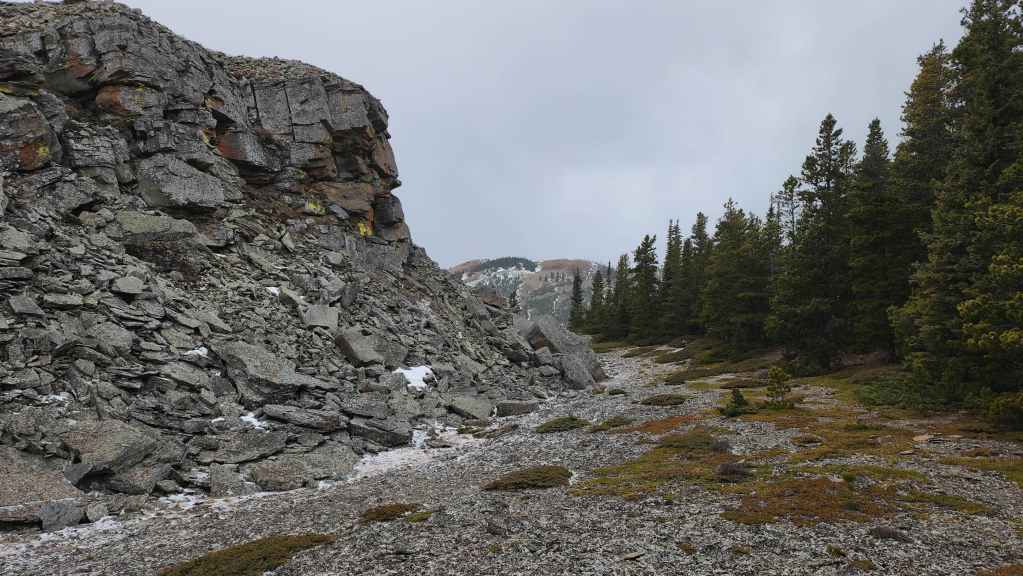
Another view of the base.
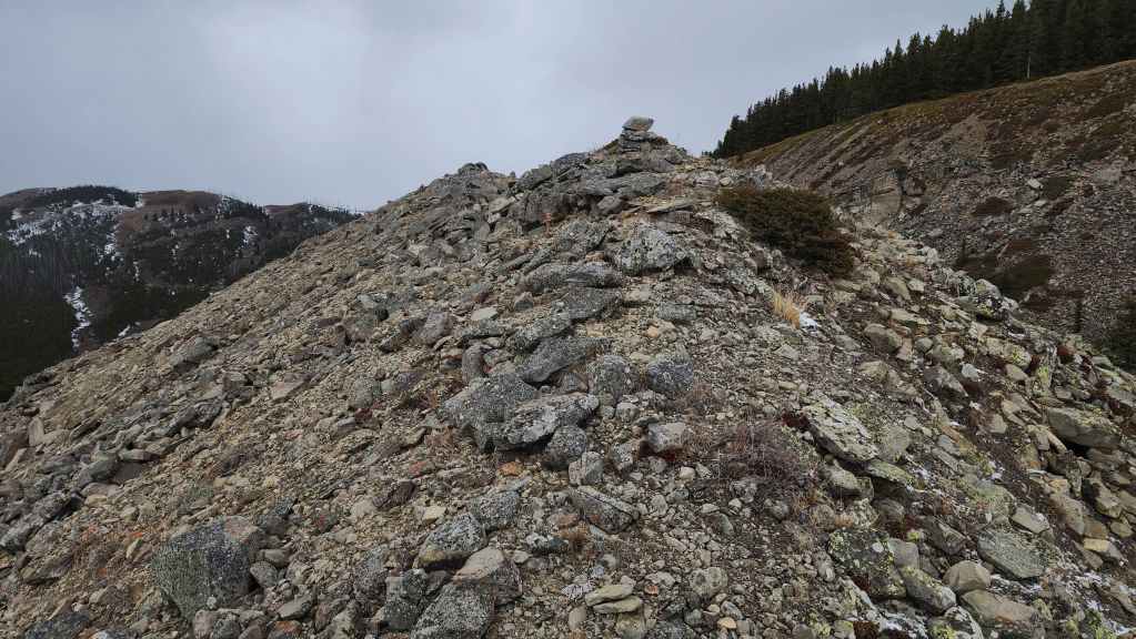
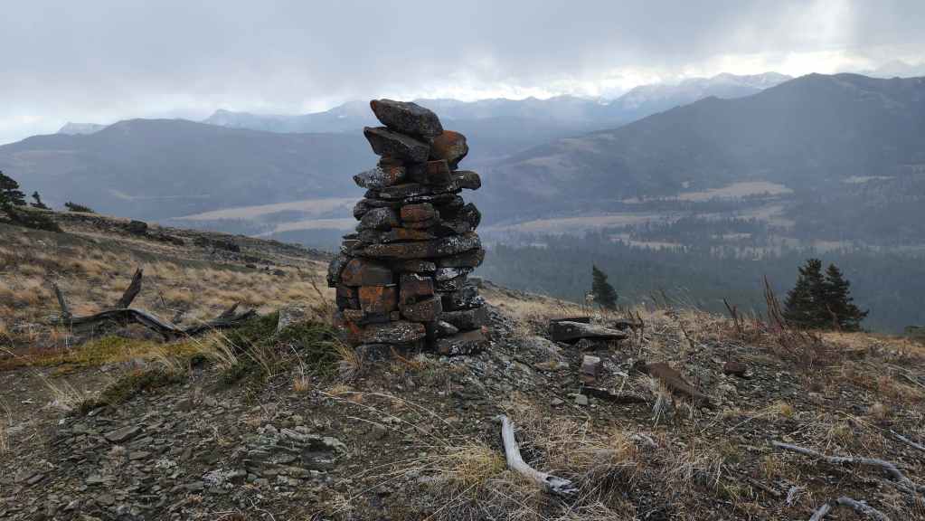
Someone had left a small cairn on top.
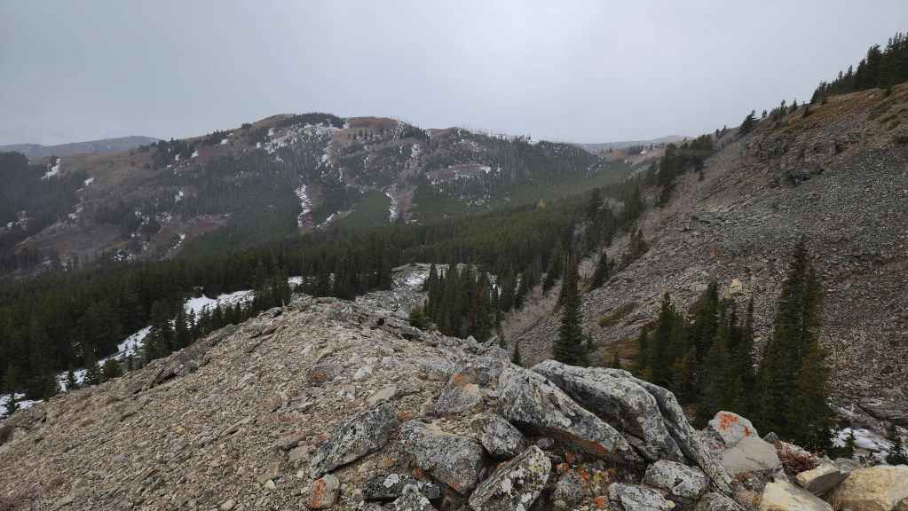
Looking from the top of the outcrop at Poker Peak.
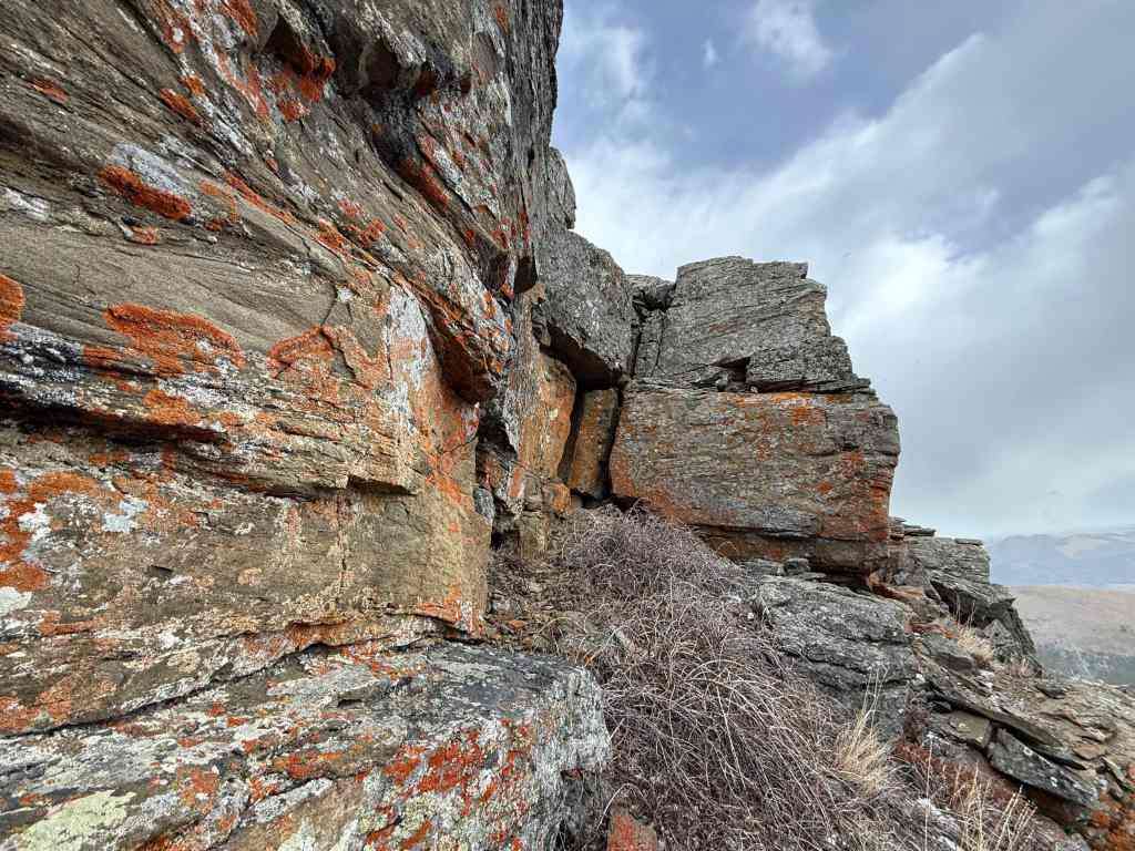
Now looking south from the little summit. The rock in the foreground is what really made it feel like something you’d see in the high alpine.
My view over to Andy who is inspecting the cliffs below the ridge.
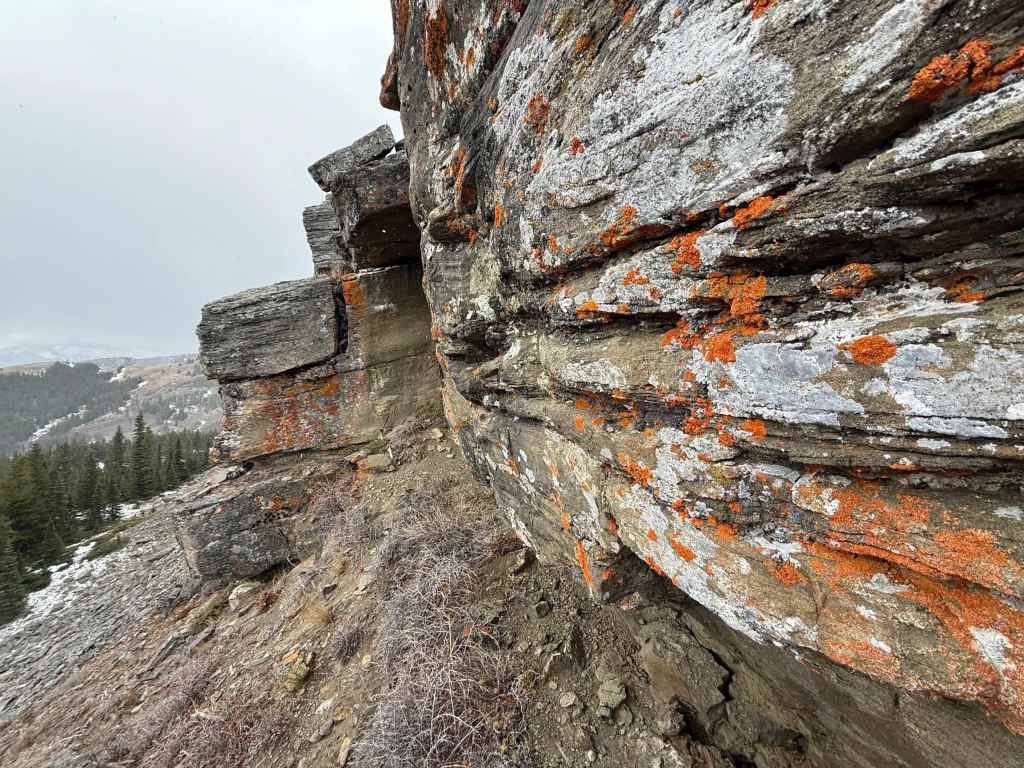
Andy’s view of the neat rock below the cliffs. (Photo by Andrew Nugara)
More of the same. (Photo by Andrew Nugara)
Andy’s view over to me. (Photo by Andrew Nugara)
And now an even closer look. (Photo by Andrew Nugara)
Byron Hill (right of centre) provides the backdrop as Andy walks along the ridge.
I leave the little summit to join Andy. (Photo by Andrew Nugara)
Another look at the interesting outcrop. (Photo by Andrew Nugara)
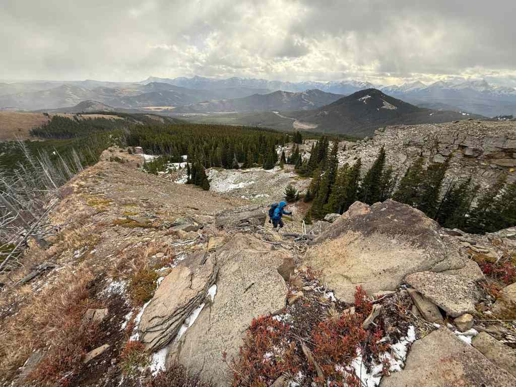
Back on the ridge and heading to Ginger Hill.

A final look back at “Flattop” and the outcrop.
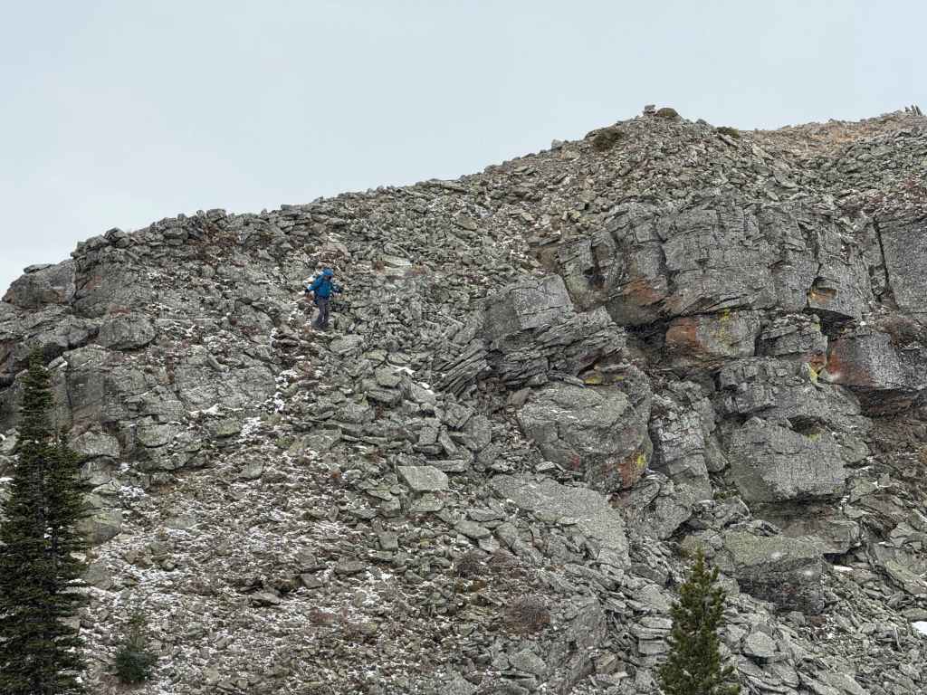
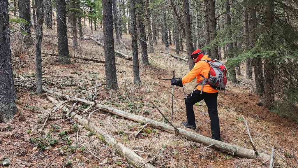
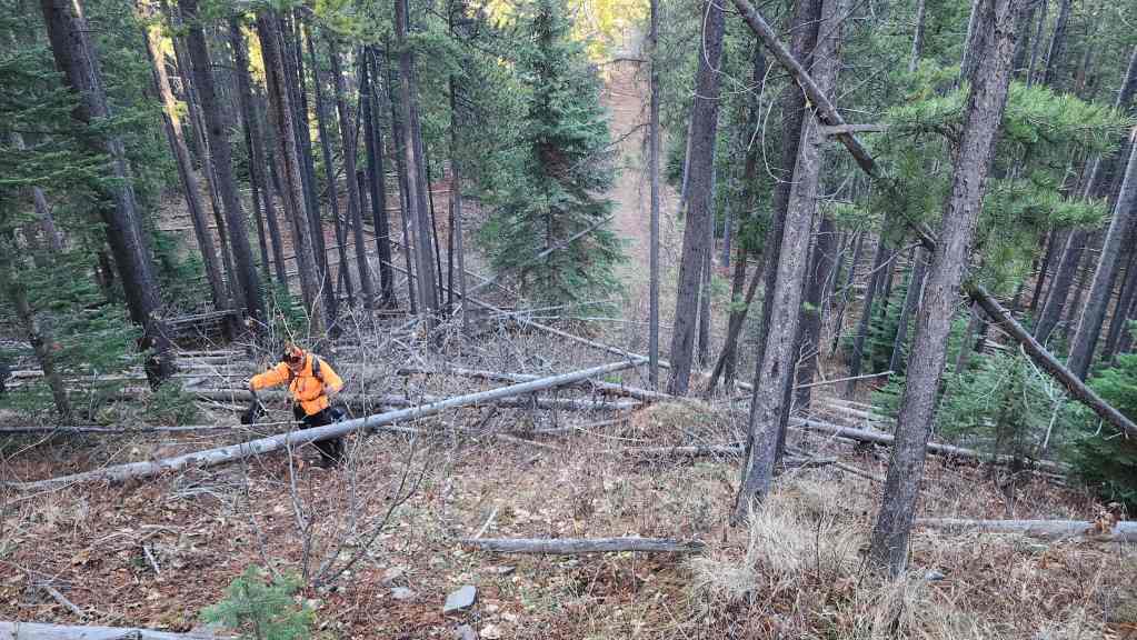
This section of new growth would prove to be a minor crux.
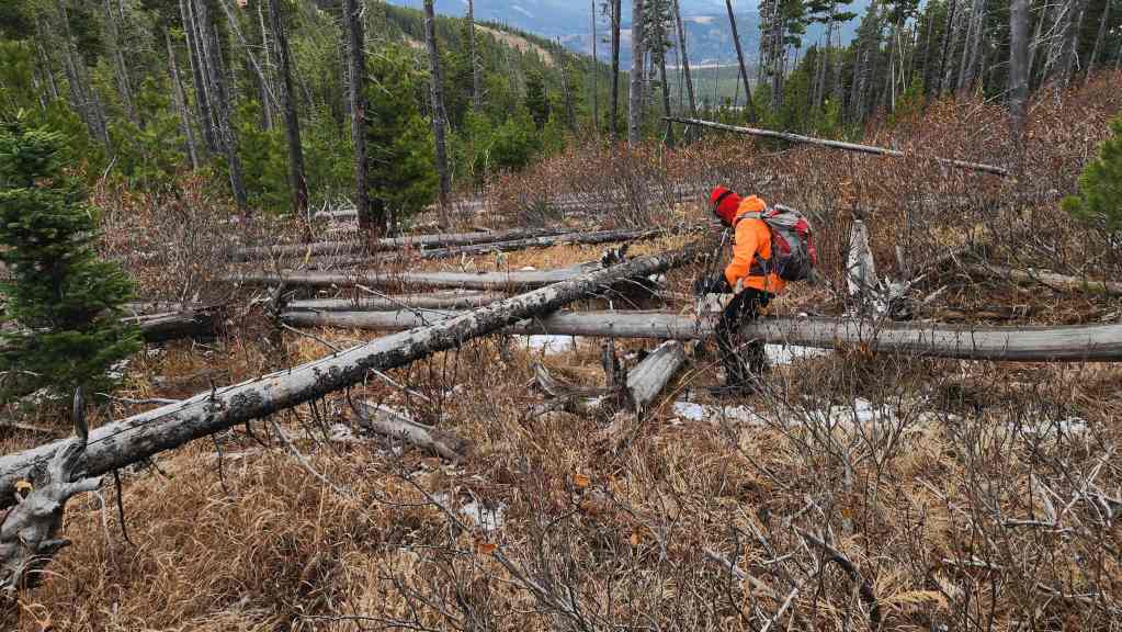
Heavy deadfall inside the young trees forced us to keep as far to hiker’s right as possible.
By keeping to hiker’s right, we were able to avoid much of the deadfall.
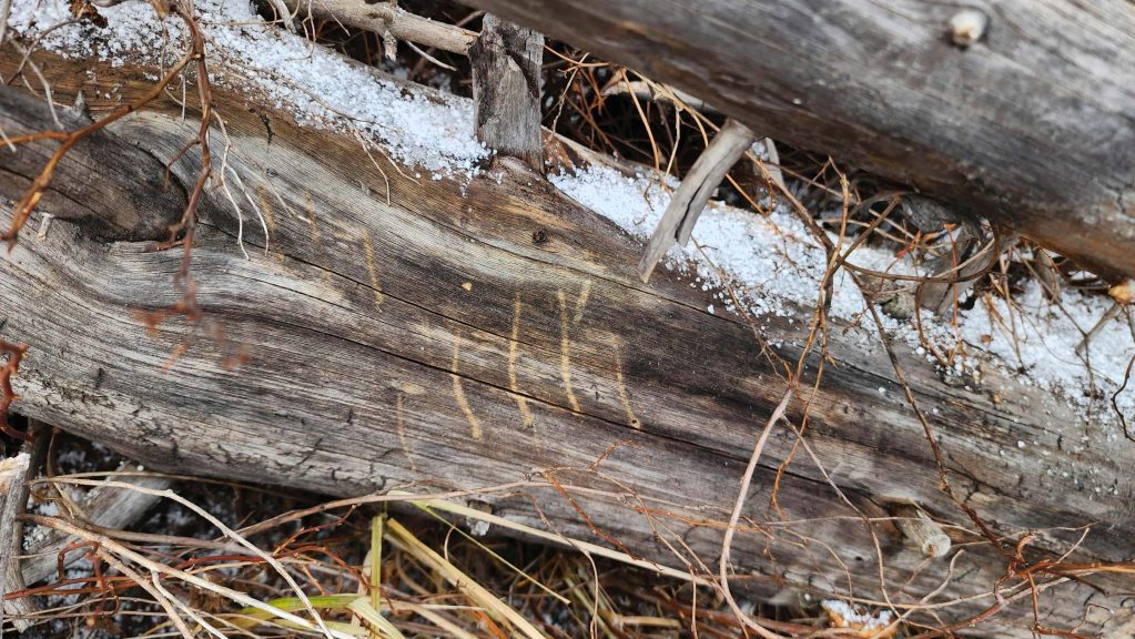
Claw marks on a log.
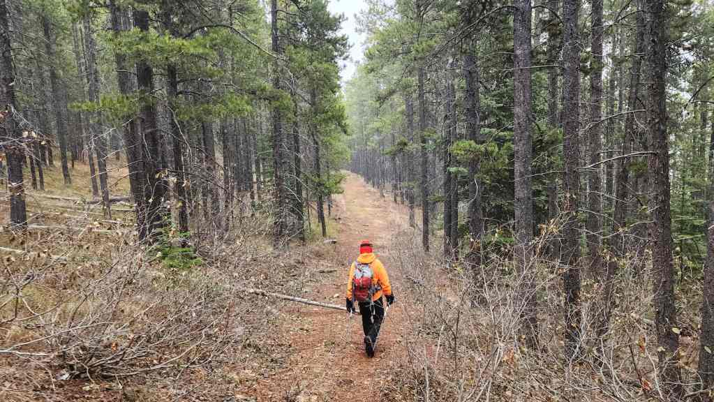
Leaving the deadfall and following a nice path.
The path will take us back onto the ridge.
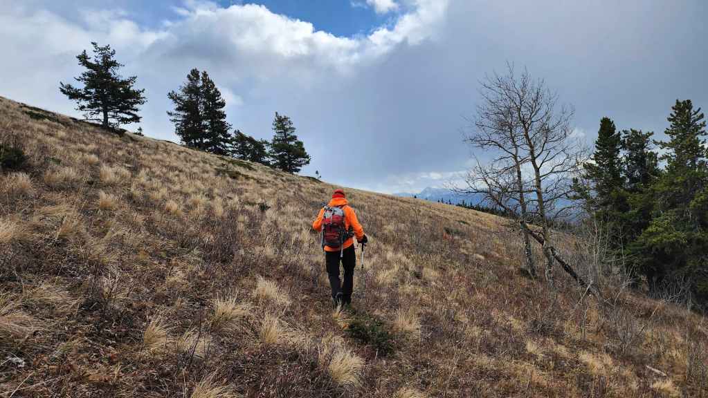
On open slopes with Maverick Hill in the background.
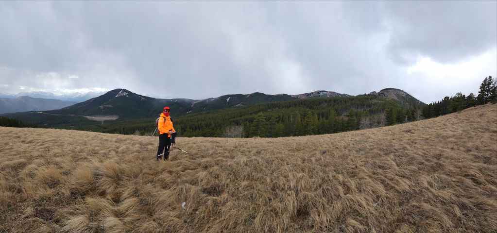

A pano from the previous vantage.

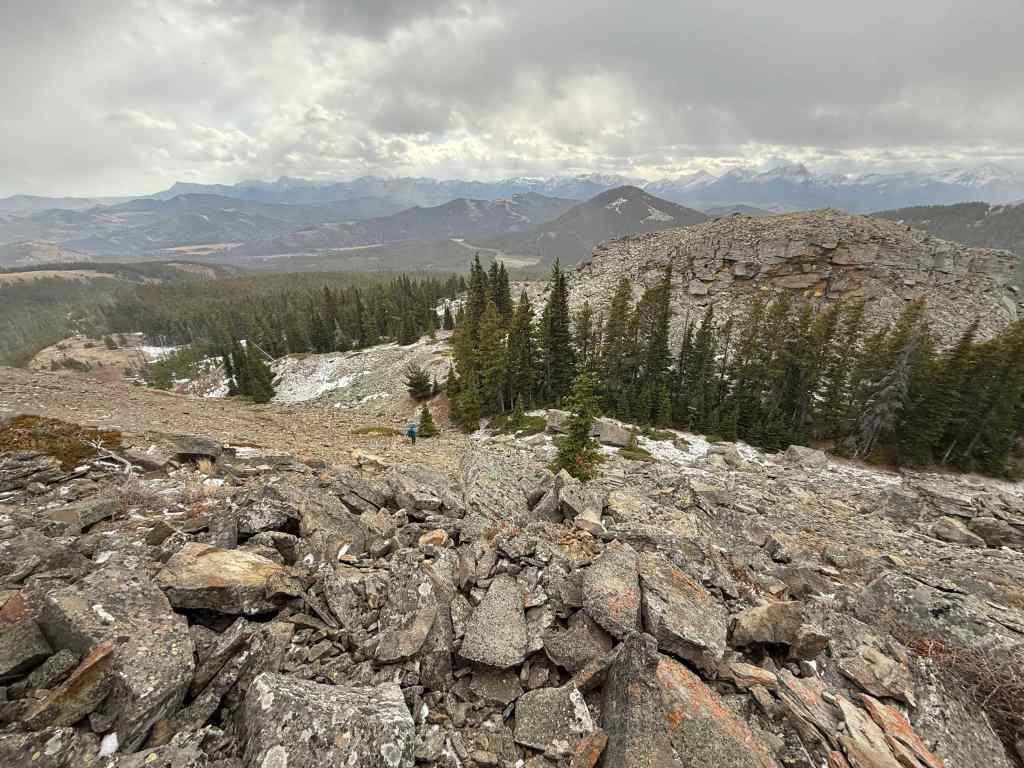
Looking back at Poker Peak (centre) and “Flattop” (right).

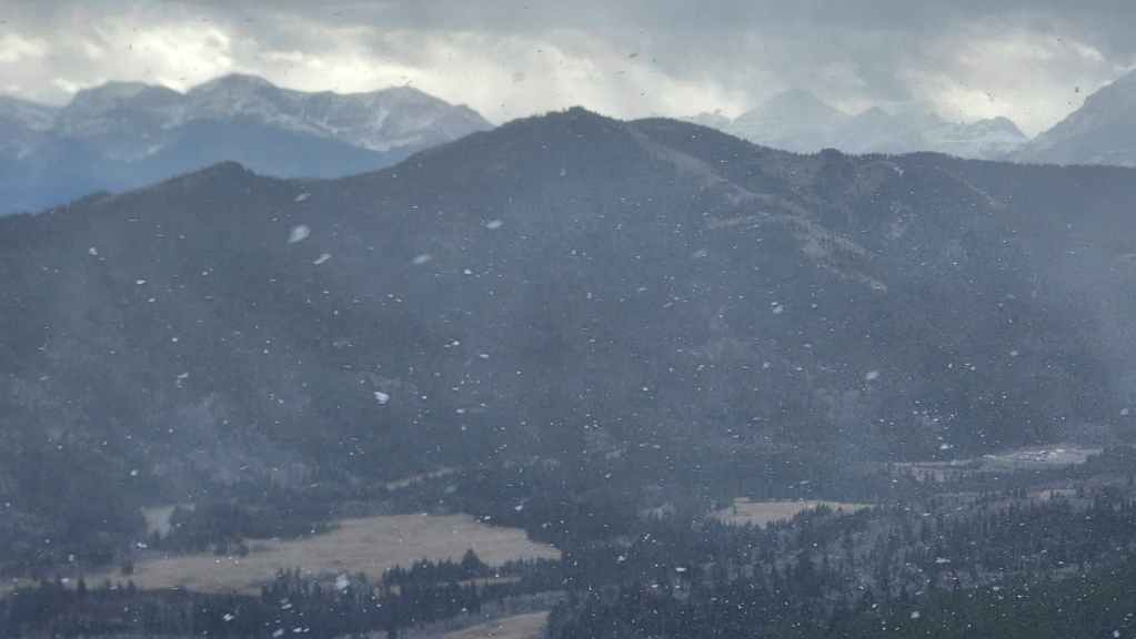
The weather suddenly turned and we were once again beset with horizontal snow and ice.

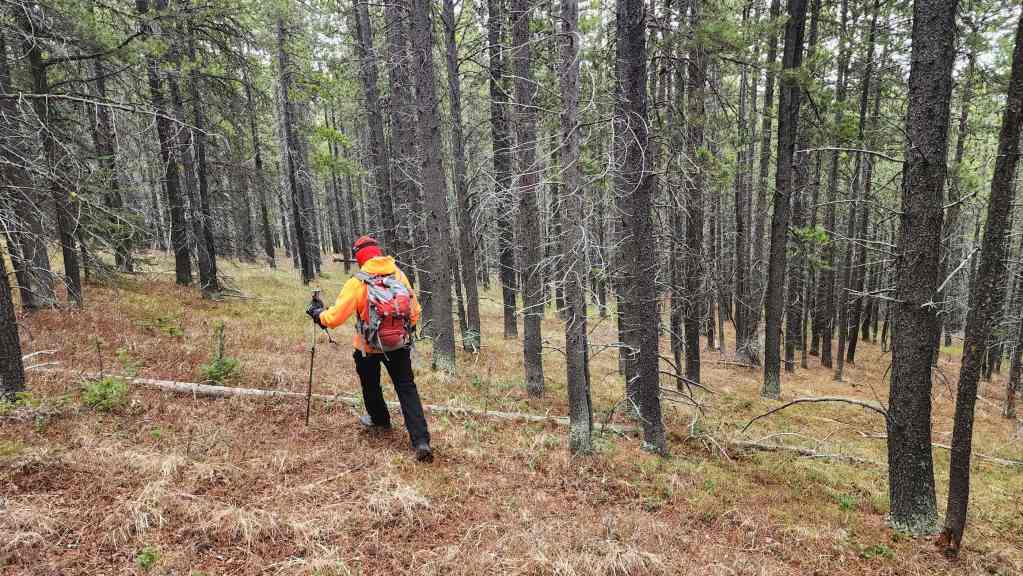
Entering the forest.
As the contours of the open section of the ridge descend to the south, we had to trend to hiker’s left to stay on the main ridge. Otherwise, we’d end up in the valley below.
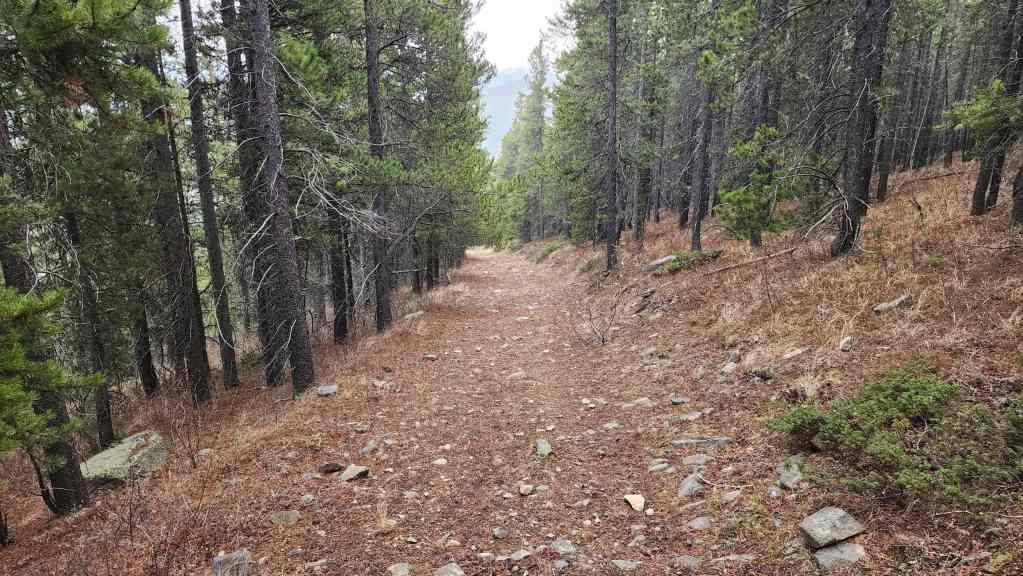
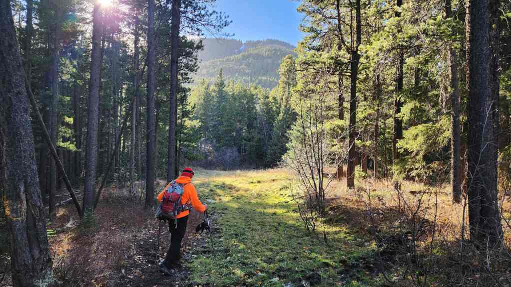
We eventually came to this old road.
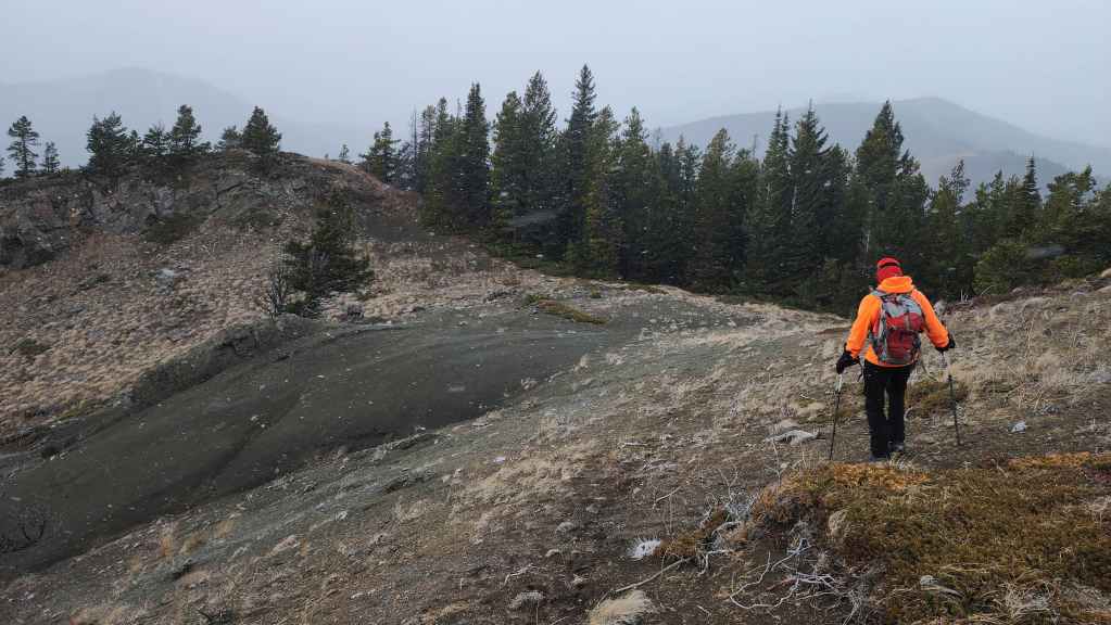
The view from the road over to Ginger Hill (right of centre).
The road will lead us towards Ginger.
Still following the road as we close in on Ginger Hill.

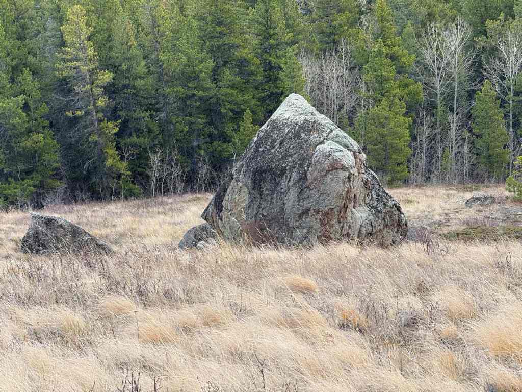
We came to an interesting erratic just prior to reaching Ginger.

I searched for an easy way to climb on top, but I didn’t find one. (Photo by Andrew Nugara)
Looking at the other side.
Heading to the col with Ginger Hill.

Passing beside more cool rocks. (Photo by Andrew Nugara)
A nicely framed shot with Ginger Hill in the background. (Photo by Andrew Nugara)
This rock looks more like a mountain than Ginger does. 😂 (Photo by Andrew Nugara)
The view back to the col as we begin our ascent.
Fighting through horizontal snow and ice.
The final stretch before the summit. (Photo by Andrew Nugara)
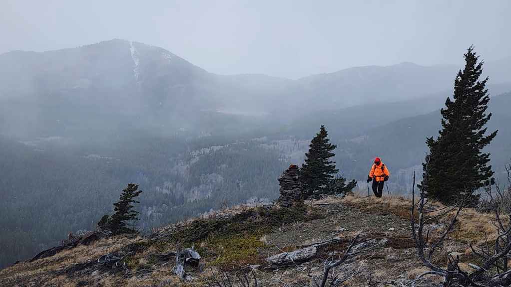
The summit of Ginger Hill (1611 m). It only took us 20 minutes to cover the ~800 m distance (147 m elevation gain) from the col to the cairn.
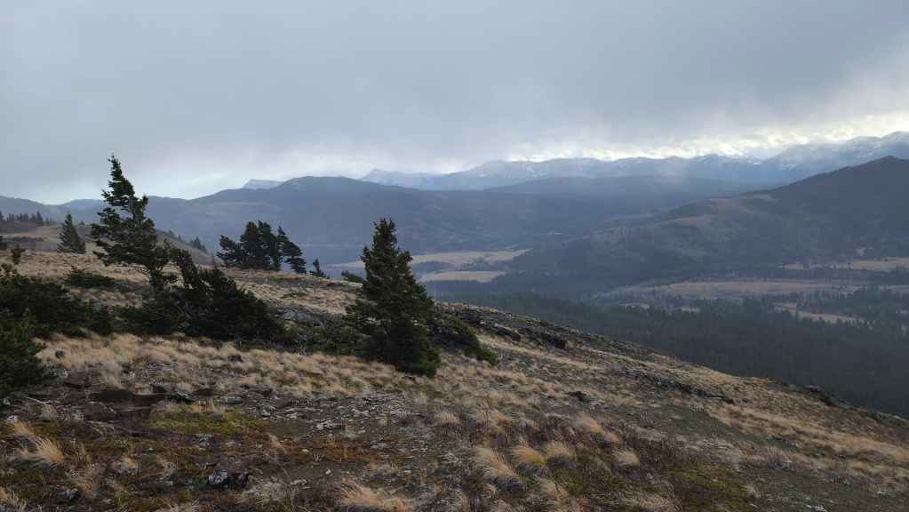
A quick pano to the southeast…
And then one to the south.
The view across to Maverick Hill.
A closer look at Carbondale Hill.
A fleeting glimpse of Syncline Mountain.
Andy arrives on the summit of Ginger.
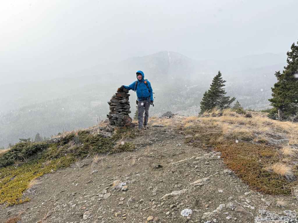
The weather was abysmal so our stay lasted mere minutes. In our haste, Andy proved he is a much better person than I, as he snapped a photo of me on the summit, but unfortunately, I forgot to reciprocate. 😢 We also did not venture much farther along the broad summit for obvious reasons. (Photo by Andrew Nugara)
Making a hasty retreat.
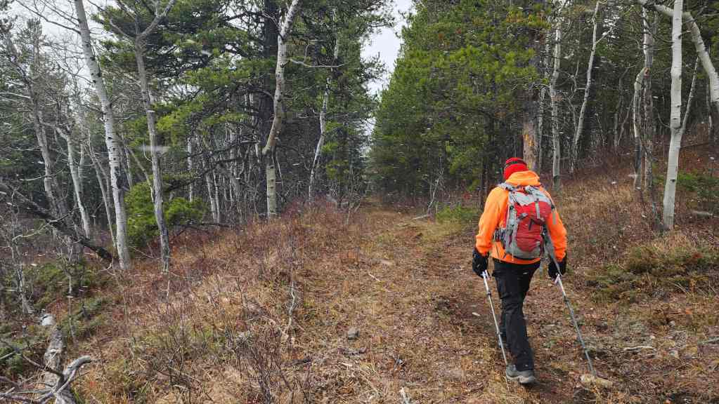
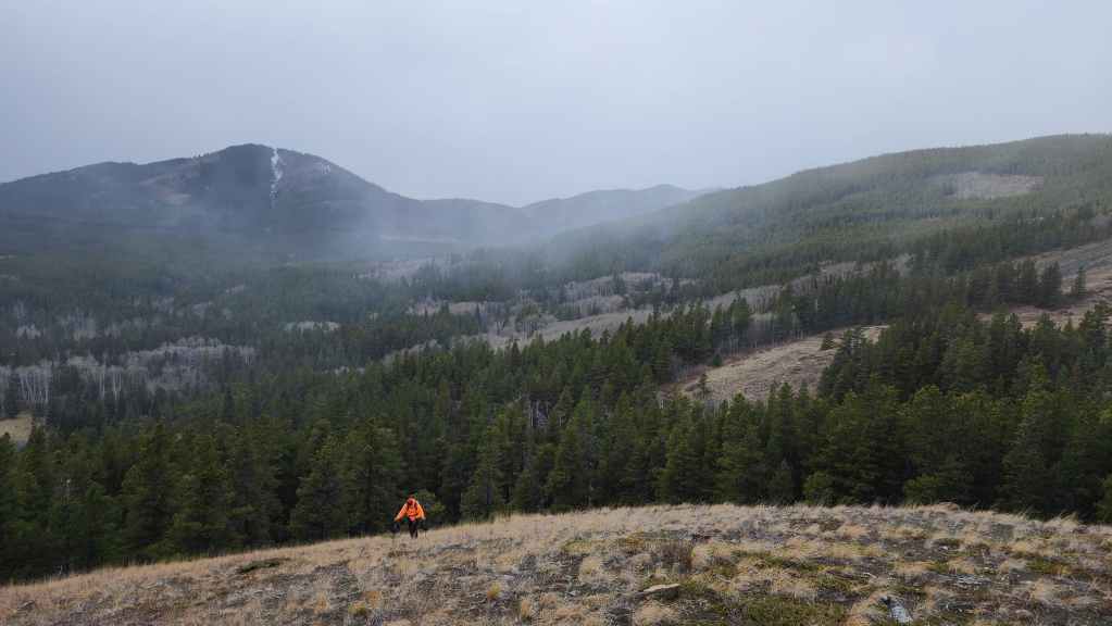
Starting along the fantastic trail that leads from the col, back to the gas road.

The trail gains elevation (110 m elevation gain) throughout its entirety back to the road, but it is not really noticeable until the final short section where it climbs up to meet the road.
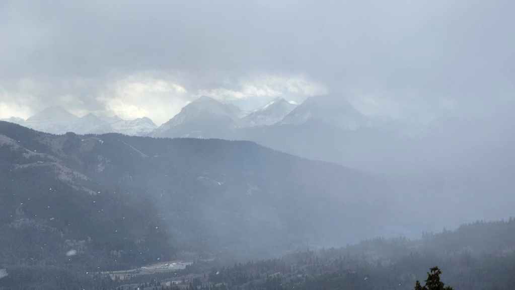
It might not be as clear in the photo as I’d hoped, but it’s still snowing while we enjoy blue sky above.
Still snowing while the sun shines.
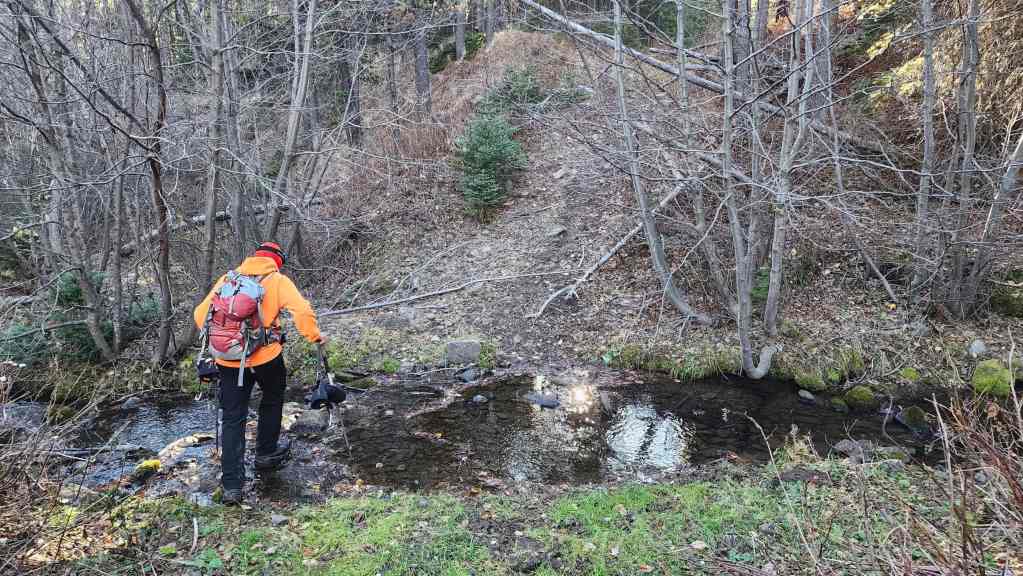
Crossing a small creek. The final few metres involve a steep climb back to the road.
The view back as we head up to the road.
Arriving at the road. (Photo by Andrew Nugara)
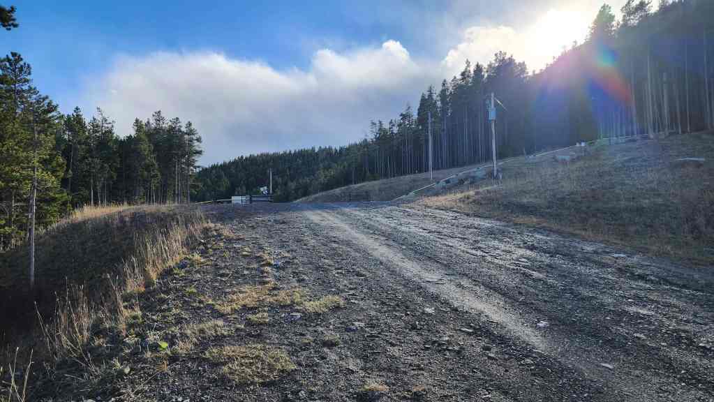
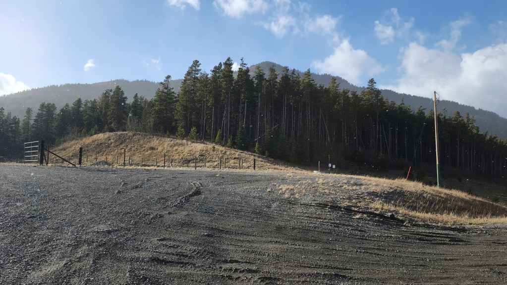
The trail emerges a short distance from a gate.
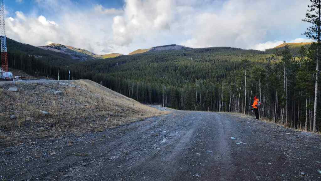
Looking north from the same vantage with Poker Peak (left) and “Flattop” (centre) in the background.
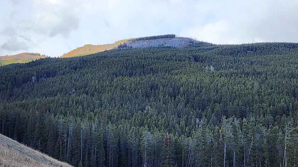
A closer look at “Flattop” and the unique outcrop we explored.
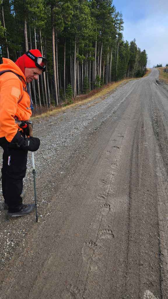

The bears really like this road!
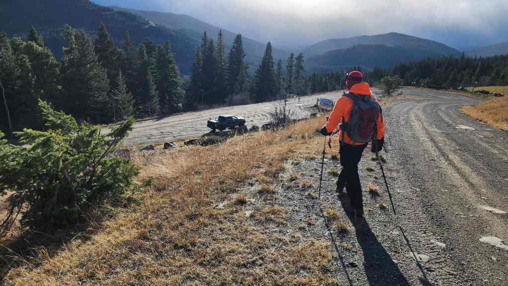
A quick and easy ~800 m walk brought us back to our starting point for Maverick Hill.

Making the ~1.4 km walk back to my truck.
Arriving back after enjoying our ~17.2 km (1317 m total elevation gain) loop. Given the weather, we both agreed that we’d made the perfect choice of objectives for the day. Thanks again to Andy for yet another awesome day in the mountains! 🙂