


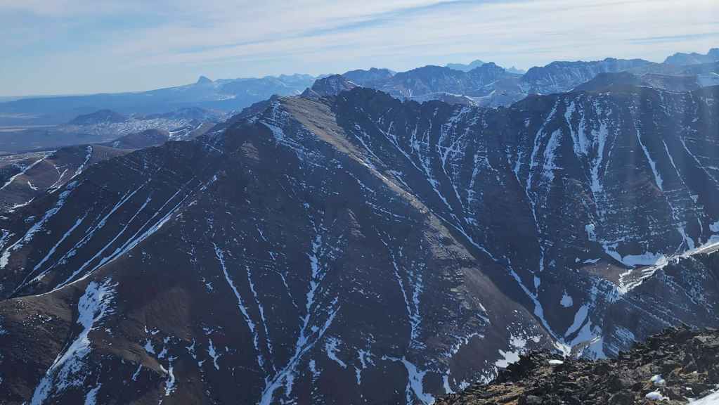


With a fresh dump of snow, the front range peaks were plastered even more than they were last week. This is great news for all sorts of reasons, and knowing the scenery it brings, it made me excited to once again head outside.
Our plan for today was to try a winter version of Andy’s 2024 route up “Bakery Peak” on the northeast end of Loaf Mountain. Earlier that year, on our “Ciabatta and The Breadsticks” trip, Brad, Andy, and I had noticed an interesting gully that appeared to lead directly beneath the summit. Thinking that it looked to be a usable route, Andy returned a few months later and confirmed that it was indeed, viable – save for a bit of route finding near the top.
Hoping to take advantage of the existing snow to ascend the gully, we were surprised at how much new snow had fallen. Normally, the front range peaks don’t pose much of an avalanche hazard which is reason #456 why they are so much fun in the winter. However, the higher we went, the sketchier the snow became.
This eventually forced us to leave the gully just prior to committing to its upper reaches. Failing to find a suitable route through the adjacent cliff band, meant we had to traverse across the steep northwest slopes until we could join with “Bakery’s” north ridge. It wasn’t long after starting our traverse that we found ourselves on yet another section of sketchy snow. With both of our internal ‘sketch-o-meters’ sounding the alarm, we decided that the current conditions would prevent us from reaching the top.
Of course, this left two choices: descend the northwest slope below us; or return to the gully and retrace our route. For me, a minor tumble over a snow-drifted step, meant that I was committed to descending the northwest slope. However, after witnessing my amusing face plant, Andy decided it was best to return to the gully.
So, though not the best practice, we ended up taking two different routes off the mountain. While I triggered a couple minor releases on the way down, Andy experienced a slightly bigger one when he rejoined the gully. Fortunately, it was short-lived and Andy could make his way down without further incident.
In summary, even though we didn’t tag the summit, exploring the gully under winter conditions was a fun endeavour and incredibly scenic. It also reminded us that you should always listen to your instincts. We made a wise choice to turn back where we did, and I’m already looking forward to trying this same route again when conditions improve. Unfortunately, it probably won’t be until June as I’ll be away from the mountains for the entire month of May. Happy trails! 🙂
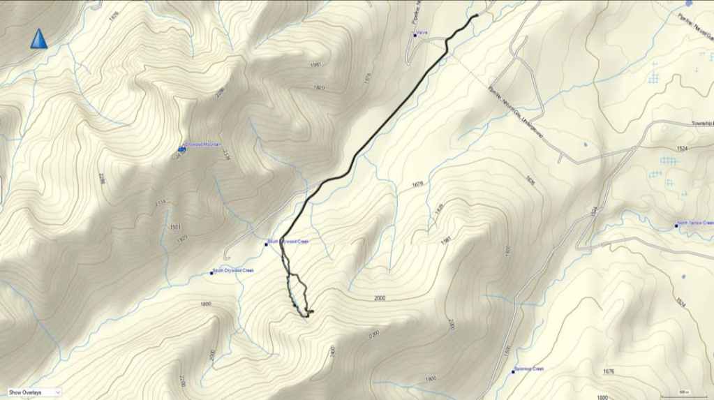

To get to the northeast end of Loaf, we drove ~19.5 km south from Pincher Creek on Highway 6 until we reached the Shell Waterton Plant Road (Township Rd. 43A). We then turned onto it and drove west for ~9.1 km until we came to a junction with a gravel road near to the entrance of the plant. Here, we turned left and onto a gravel road where we continued for ~3.9 km until we reached Butcher Lake. We then turned left and onto another gravel road immediately prior to the Lake and followed this road for ~1.4 km until we come to the junction with another road on our left. We turned here and followed it for ~5 km until we arrived at a T-intersection. Here, we turned right and ~230 m later, arrived at the Bovin Lake trailhead.
From the trailhead, we walked for ~2.7 km until we came to fork immediately after passing a building. Here, we turned left and followed the road for ~780 m to where it ended at a gas well. From the well, we kept walking for a few metres, until we could see a trail on the other side of a small, barbed wire fence. We then followed this trail for a short distance to the start of the gully.
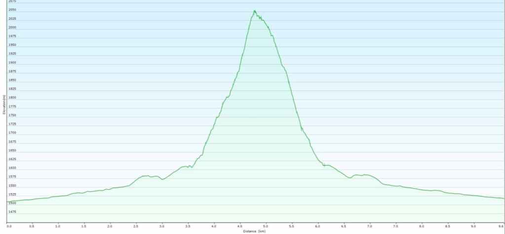
Once in the gully, we made our way upwards for ~1 km (446 m elevation gain) until we were at the point where the gully cuts through a large band of cliffs as it swings to the northeast. This is where we had to make the choice to commit to the upper section or traverse to the north ridge.
Seeing the condition of the snow deteriorate, we elected to traverse; however, the angle of the slope combined with the snow, made us decide to call it a day. While Andy returned to the gully to descend, I continued down the northwest slope where we met at the base of the gully.


Gearing up at the Bovin Lake trailhead.
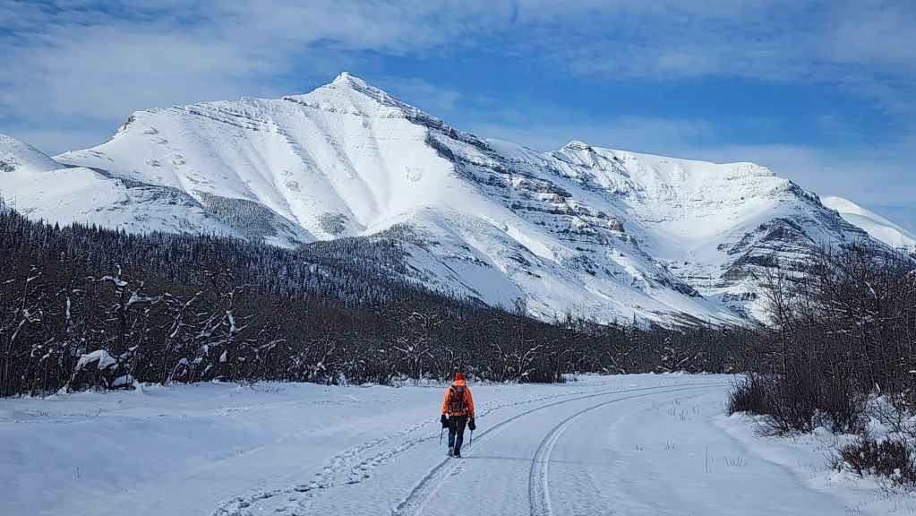
“Bakery Peak” (left of centre) along with the entire front range, had been blanketed in a fresh dump of snow.
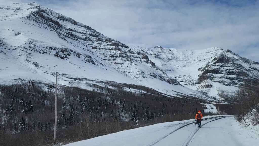
Our ascent gully is on the left with “Ciabatta and The Breadsticks” directly in front of Andy.
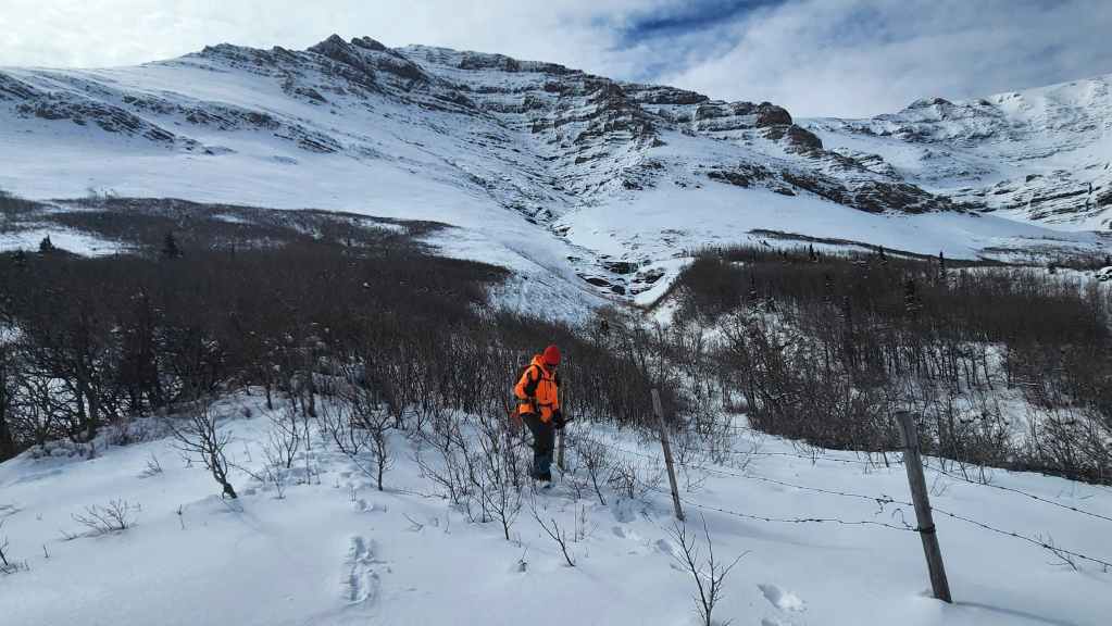
Crossing a small fence just prior to reaching the start of the gully (centre).
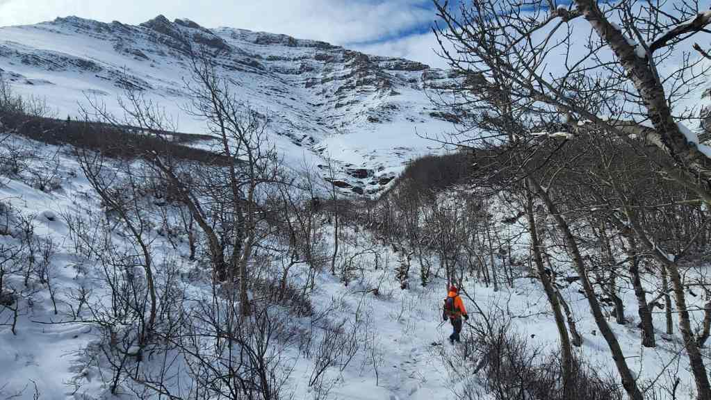
We followed the trail for only a few metres before leaving it for the gully.

The first waterfall that we came to was an argillite beauty!
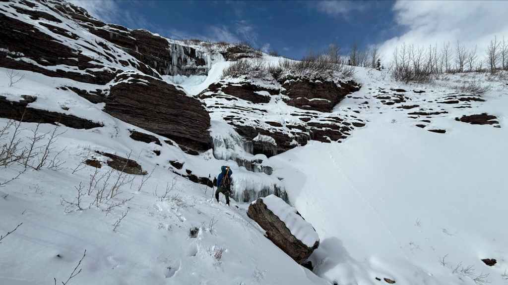
I move in for a closeup – and a small scramble up the rock in front of me. (Photo by Andrew Nugara)

My view of the icefall / waterfall. Though part of it is frozen, there was running water behind the ice. (Photo by Andrew Nugara)

Above the first waterfall and continuing to make our way along the lower section of the gully. (Photo by Andrew Nugara)

Looking back at Drywood Mountain. Yet another gorgeous day in the mountains! 🙂
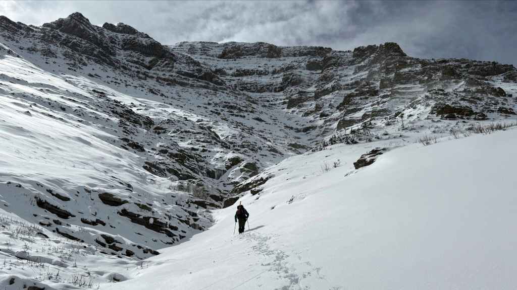
Coming to across more scenic ice, water, and rock. (Photo by Andrew Nugara)
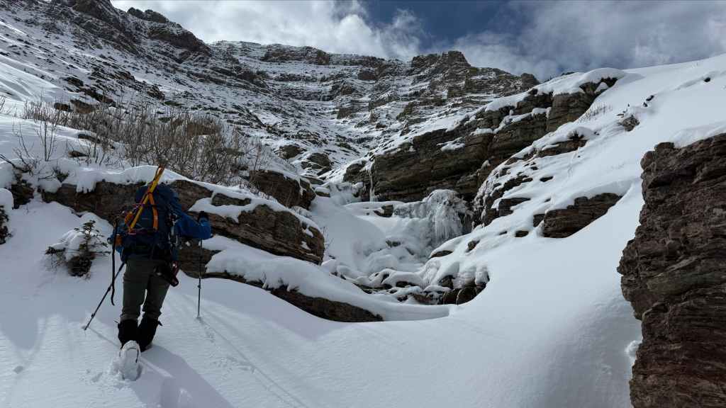
We will stay in the gully until we reach the upper section of the mountain. (Photo by Andrew Nugara)
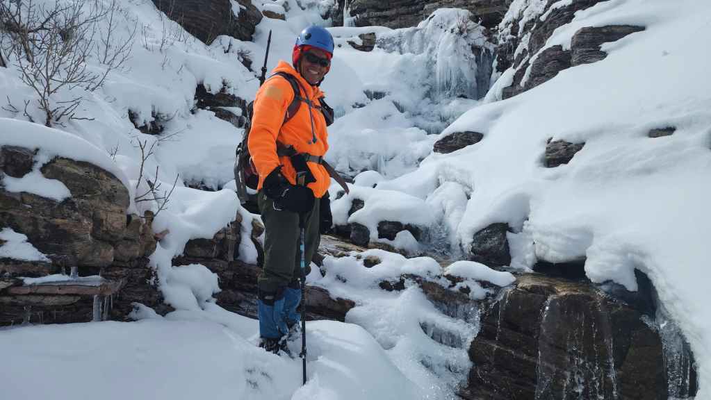
More love for the ice, water, and rock.

Andy carefully tests the ice above the running water.
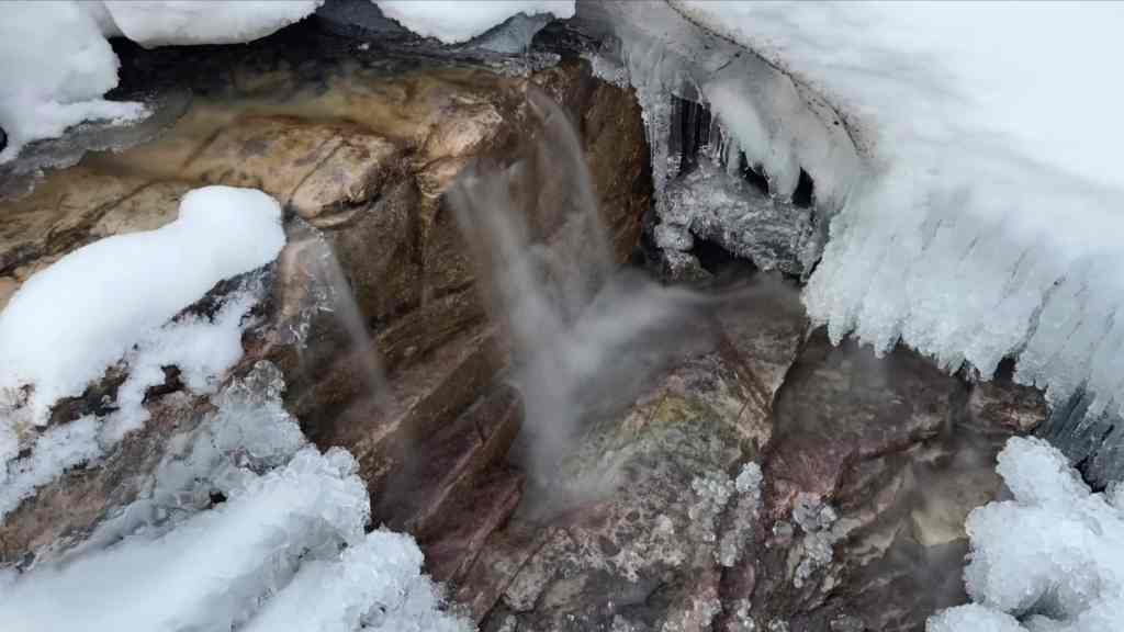
A delightful little waterfall… (Photo by Andrew Nugara)

Some delicate ice… (Photo by Andrew Nugara)
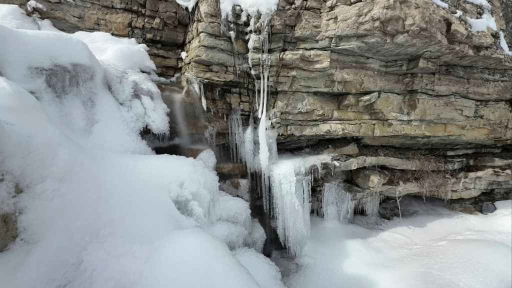
And now both combined with the cool rock. 🙂 (Photo by Andrew Nugara)
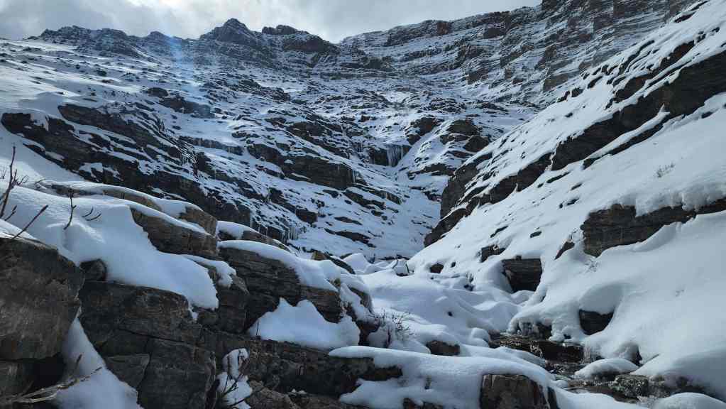
This is where the gully really starts to get interesting.

Looking back to Andy.
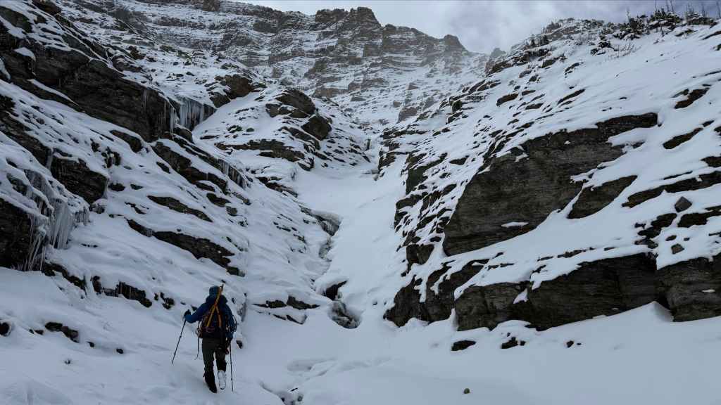
Arriving at the base of a steep mini-canyon. (Photo by Andrew Nugara)
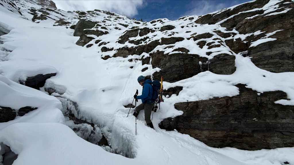
I gingerly make my way past an open section of water. (Photo by Andrew Nugara)
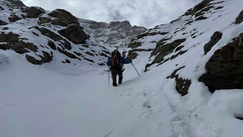
Continuing up, but not for long… (Photo by Andrew Nugara)
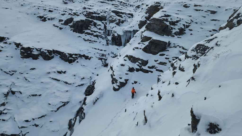
Looking back to Andy after leaving the gully to find a route past a wall of ice.
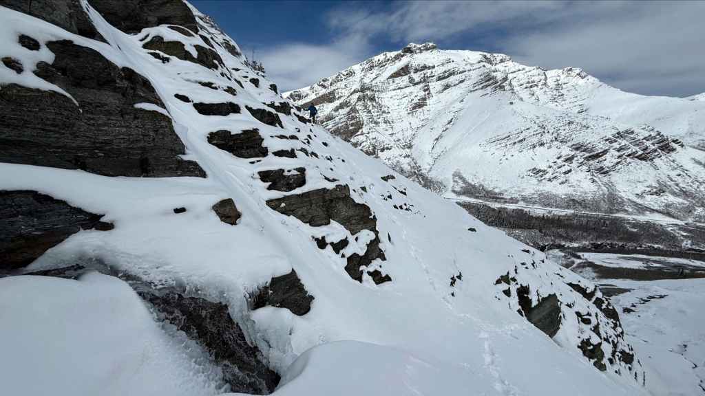
Andy’s view back to me (centre) from the previous photo. (Photo by Andrew Nugara)

Above the ice wall and putting on our crampons to prepare for the steeper sections ahead.
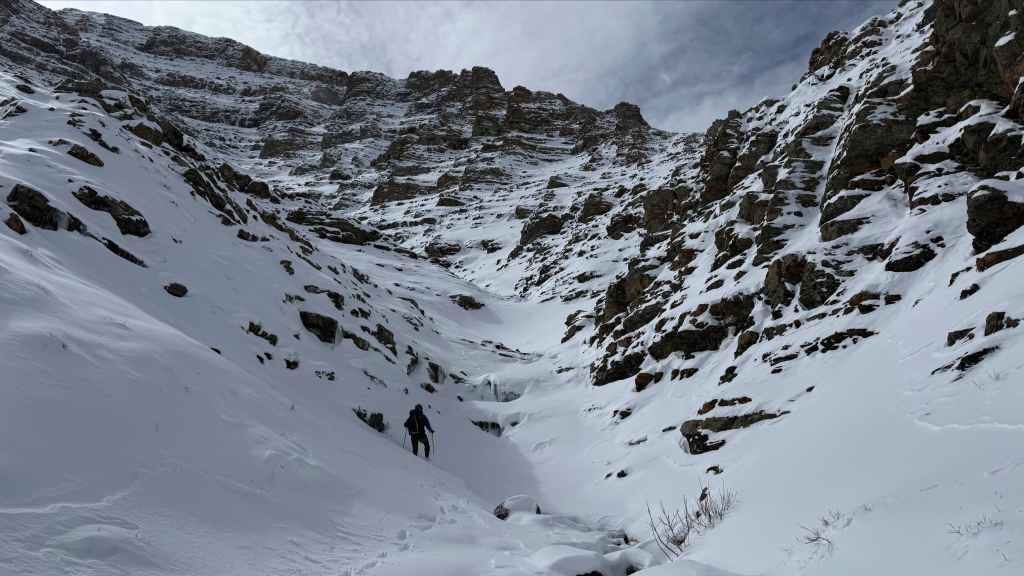
This is where the gully really gets going. (Photo by Andrew Nugara)
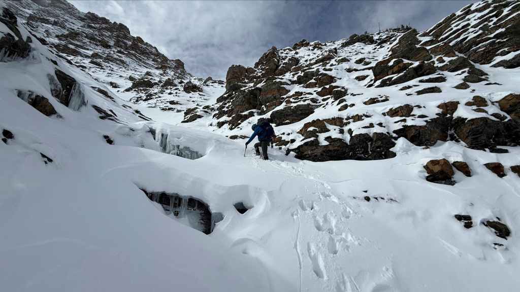
Passing more open sections of water. (Photo by Andrew Nugara)

A quick glance back.

The snow became deeper. (Photo by Andrew Nugara)

Another great view back!

Andy surveys the next section.
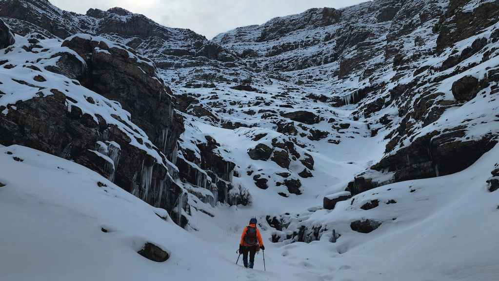
This is where we entered into some great icicle scenery…

Like this! (Photo by Andrew Nugara)

And this!
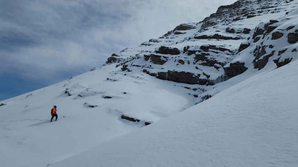
Eventually we came to a large icefall. While Andy found a route to climber’s left…

I headed straight up to see if I could find a way past. (Photo by Andrew Nugara)

Arriving at the base of the icefall. (Photo by Andrew Nugara)

Still searching… (Photo by Andrew Nugara)

I found a way! 🙂 (Photo by Andrew Nugara)
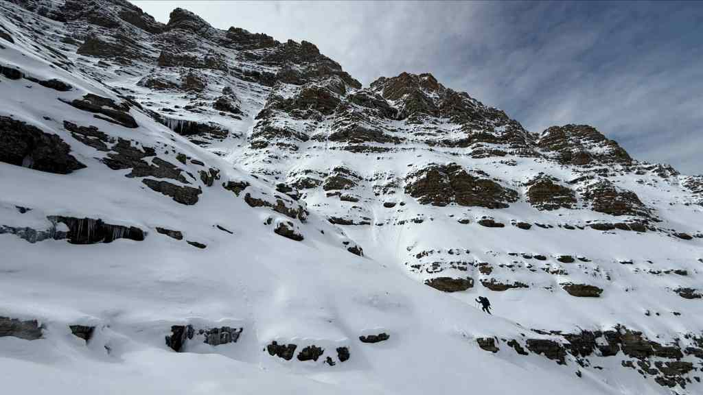
Same as the photo above, only this time with 80% more action. 😂 (Photo by Andrew Nugara)
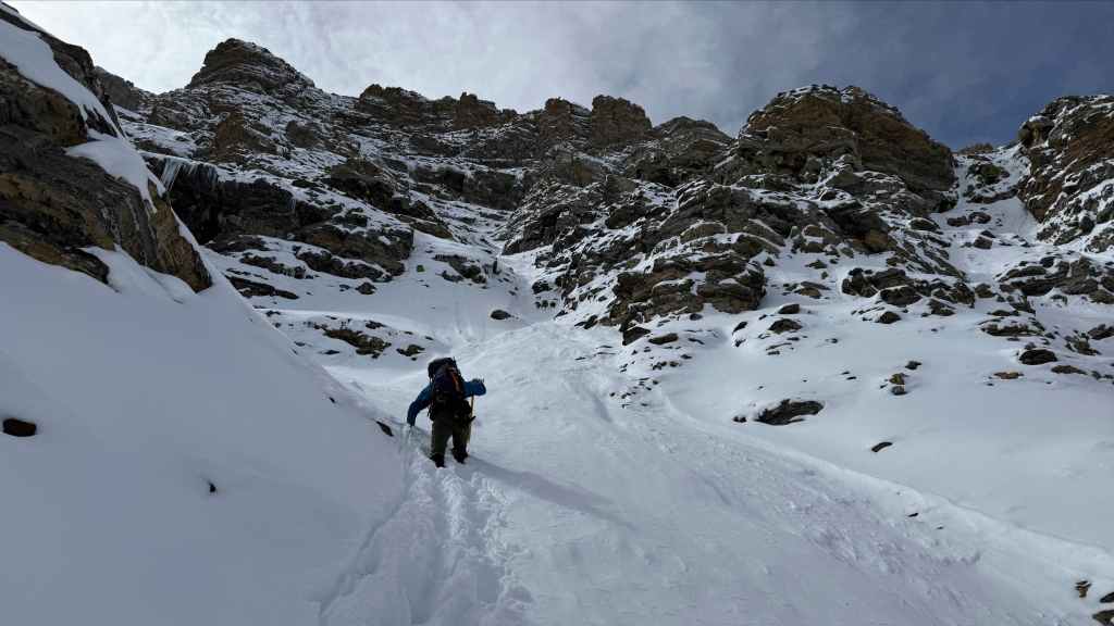
The gully steepens and the snow deepens. (Photo by Andrew Nugara)
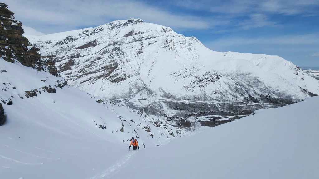
What a fantastic winter landscape!
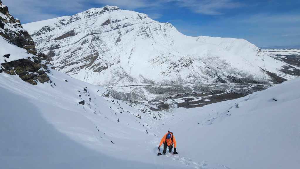
Same as the previous photo, only this time, the object in the mirror is now closer than it appears. 😂
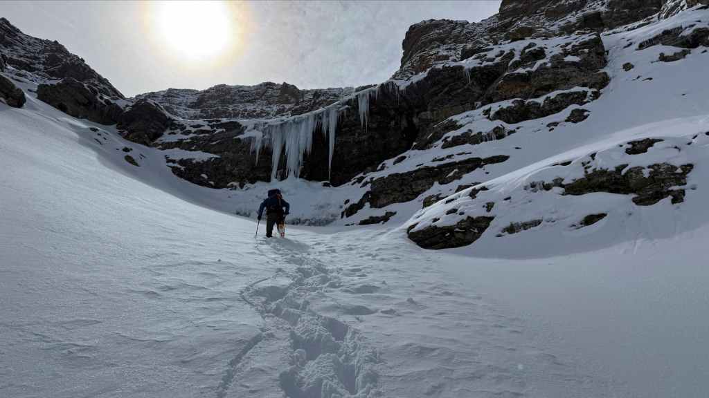
Arriving at the base of a super cool icefall! (Photo by Andrew Nugara)

Yada yada yada, those aren’t buoys! 😂

There was a deep drop between myself and the icefall. (Photo by Andrew Nugara)
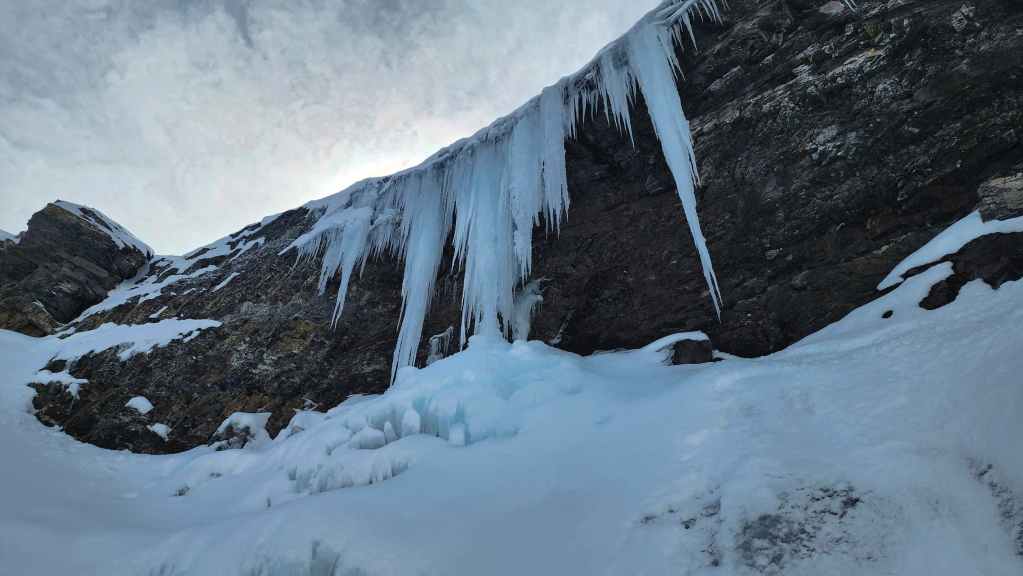
My view up from the previous photo.
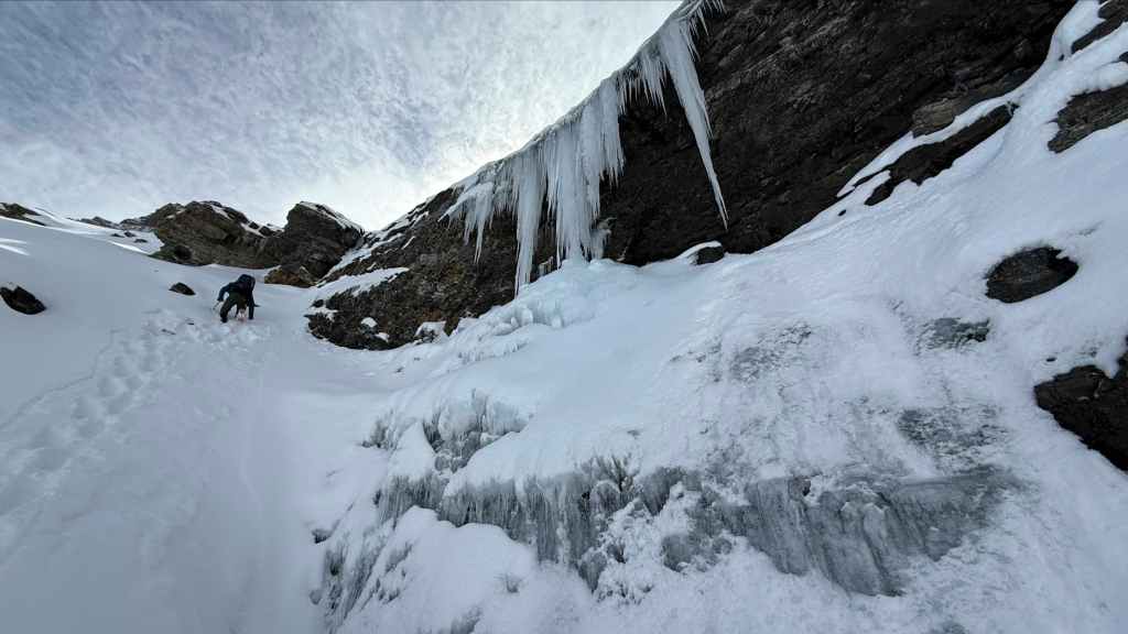
Bypassing the icefall to climber’s left. (Photo by Andrew Nugara)
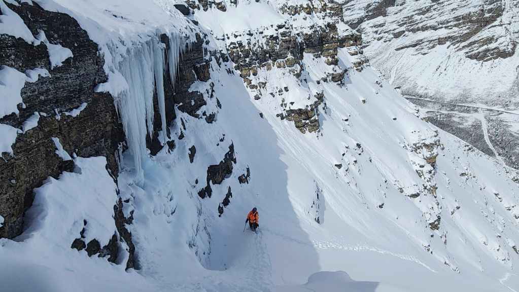
My view back to Andy.


Same as the previous, except this time with Drywood Mountain in the background. Did I already mention it was a beautiful day to be on a mountain? 🙂
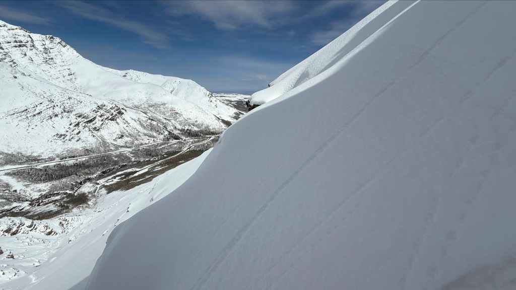
Andy’s view onto some very snowy slopes as he climbs past the icefall. This is where we grew more cautious about avalanche danger. (Photo by Andrew Nugara)
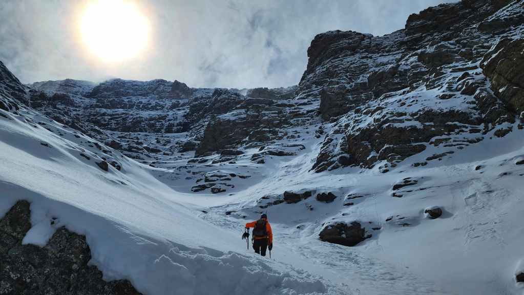
Andy leads us further up the gully.
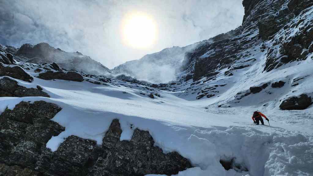
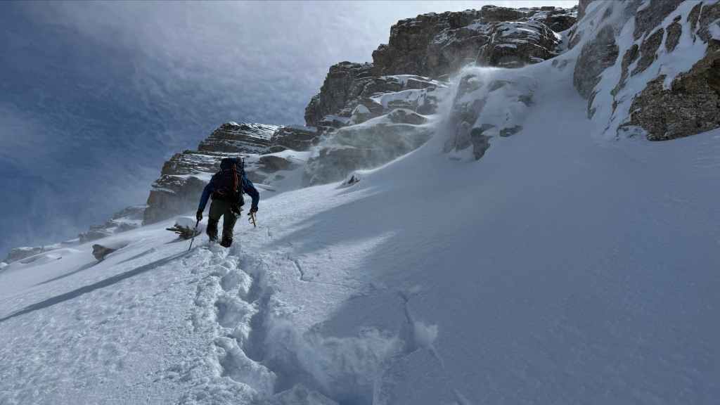
Spindrift blows from the summit.
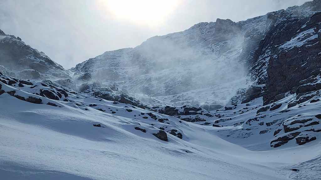
A closer look at where the drainage begins to curl to the northeast.
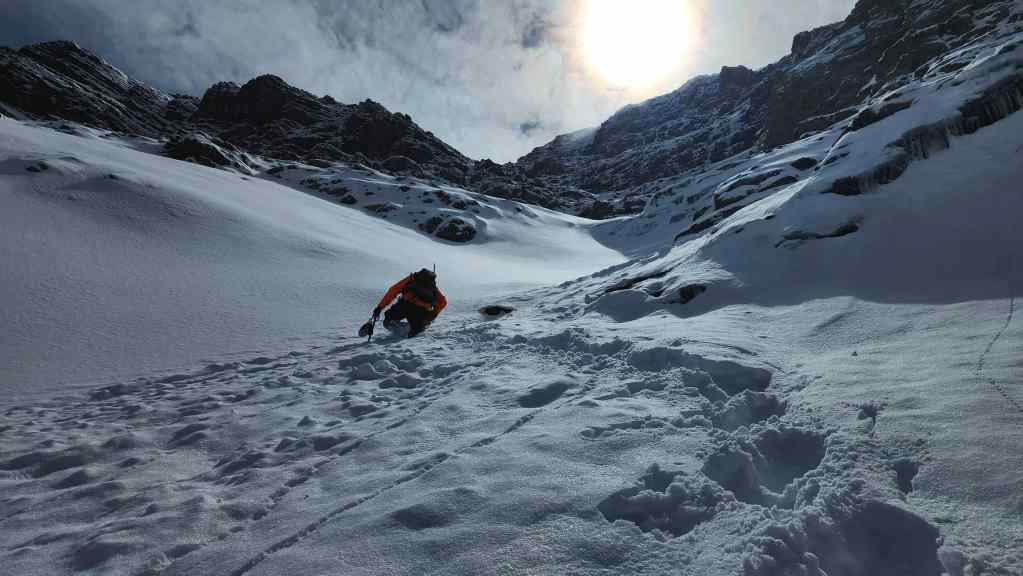
Crossing the remnants of a small slide.

The deep snow definitely slowed us down.
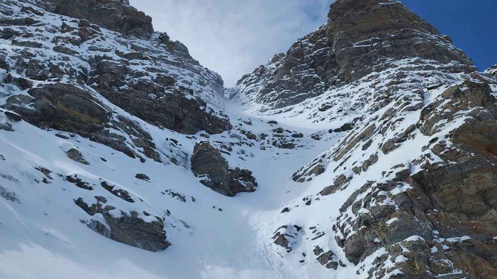
An inviting couloir that led onto the ridge. However, it was also super steep and showed signs of a recent release.
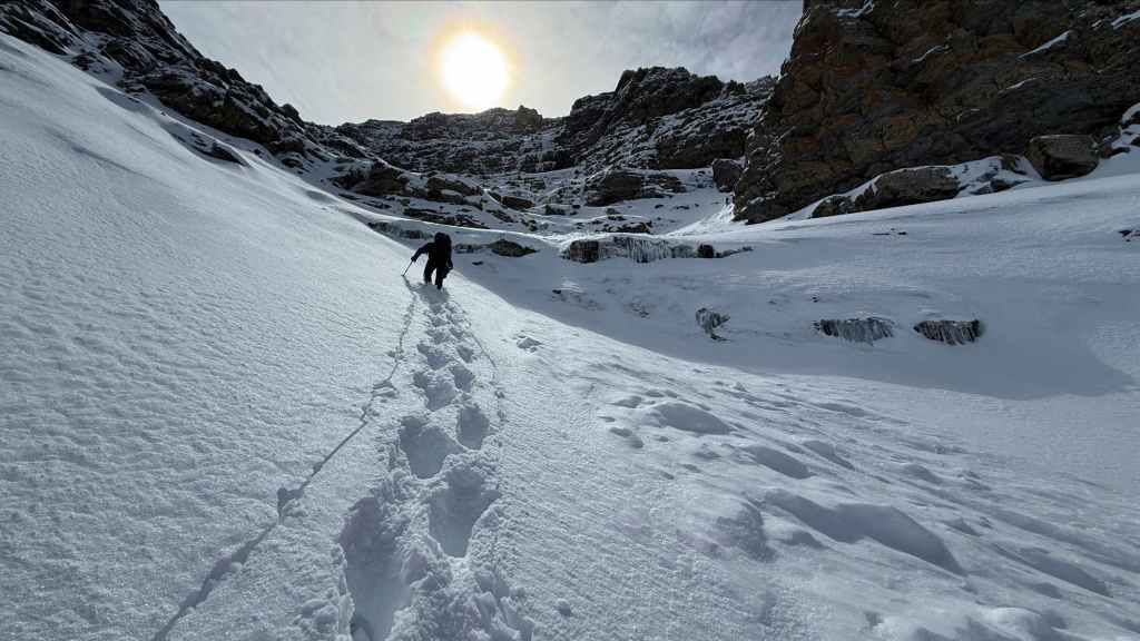
Arriving at the entrance to the upper section of the gully… (Photo by Andrew Nugara)
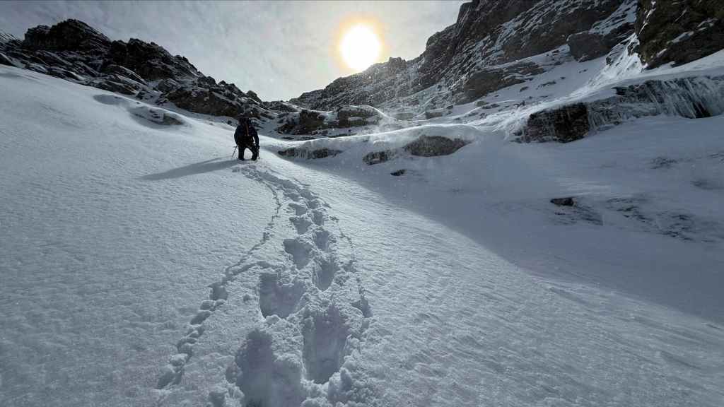
And assessing the situation. Once we committed ourselves beyond this point, it would be hard to down-climb the icy cliffs in the centre, should we have to turn back. (Photo by Andrew Nugara)

Therefore, we decided to see if there was a better way through the cliffs to climber’s left. (Photo by Andrew Nugara)
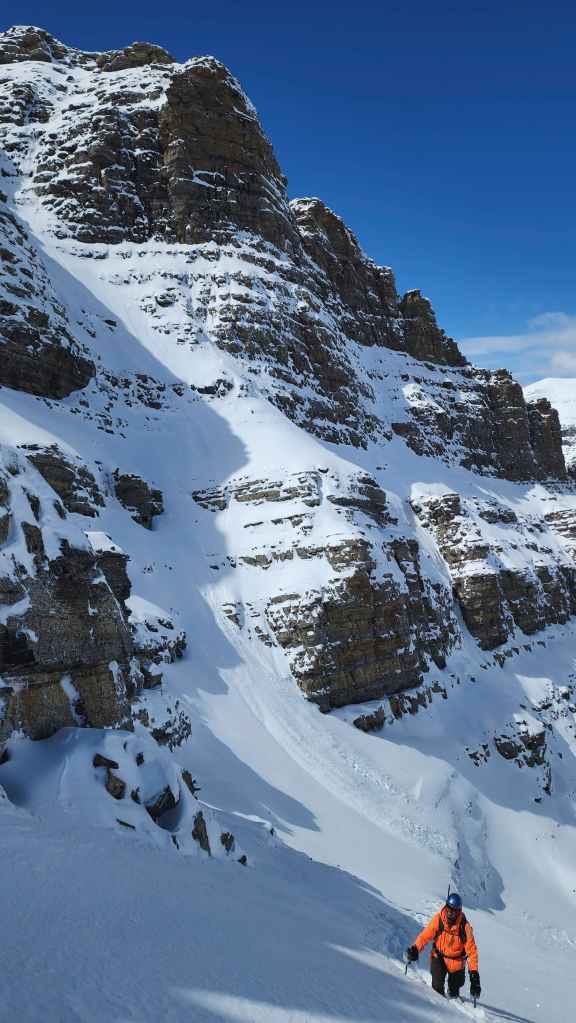

The entrance to the couloir that I showed previously is on the left. It’s definitely steep.
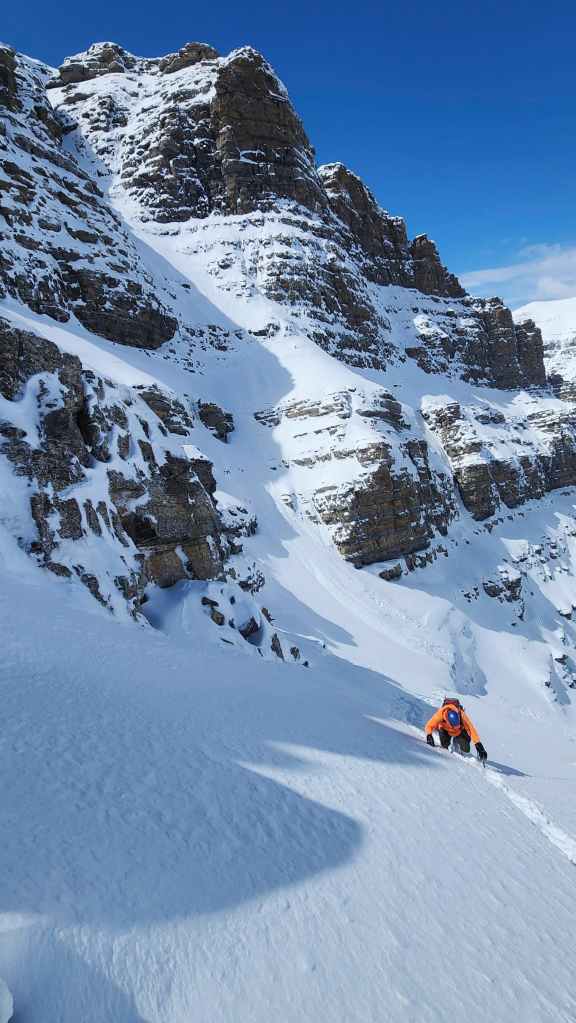
Same as the previous photo.
I reach the rock band… (Photo by Andrew Nugara)
And begin looking for a way above. (Photo by Andrew Nugara)
I head up to explore a potential route. (Photo by Andrew Nugara)
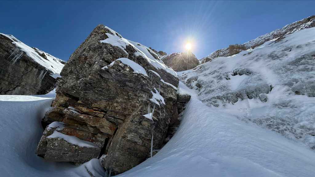
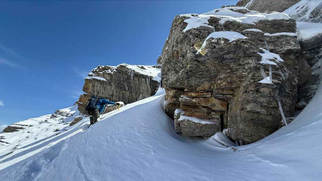
More fantastic scenery! The ice on the right also shows why it would have been hard to climb down. (Photo by Andrew Nugara)

I scurry under a ledge as I search for a route. I couldn’t find one. (Photo by Andrew Nugara)
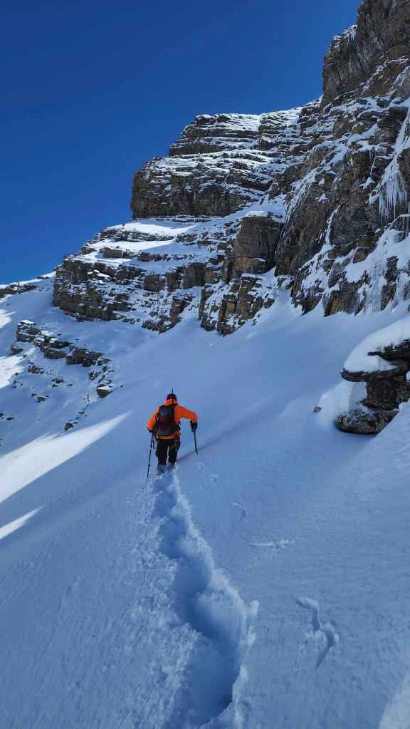
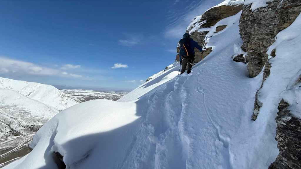
Not finding a route, we decided to traverse over to the north ridge.
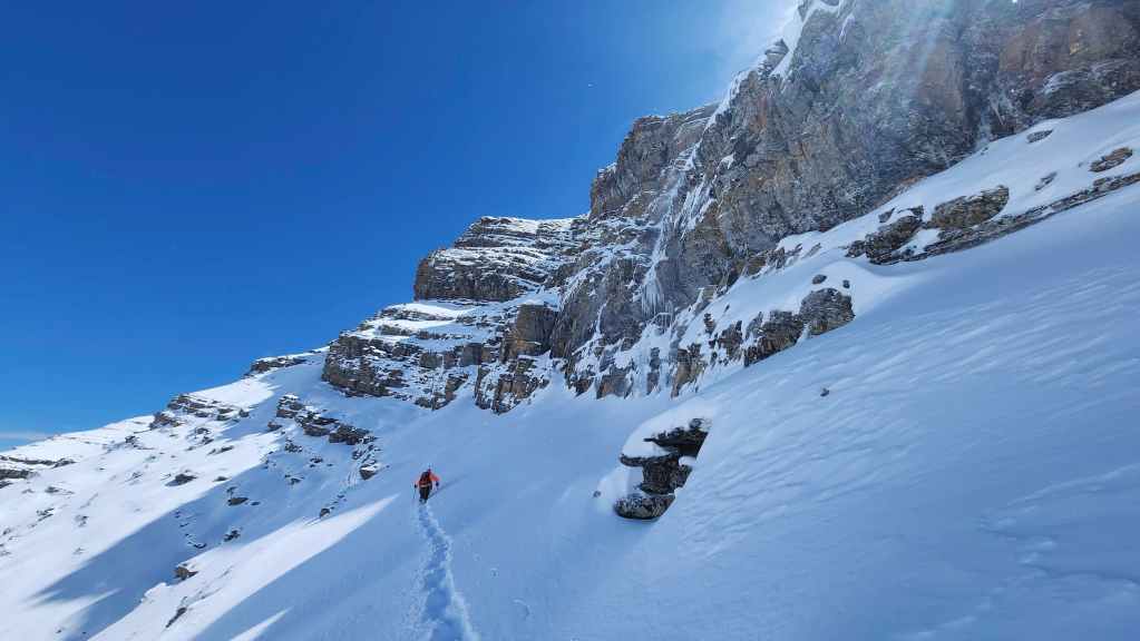
A better view of our traverse.

The furthest point we reached, before deciding to turn back. Things were getting a bit dicey avalanche-wise. (Photo by Andrew Nugara)

Our view up to the rock at the point where we turned around. (Photo by Andrew Nugara)
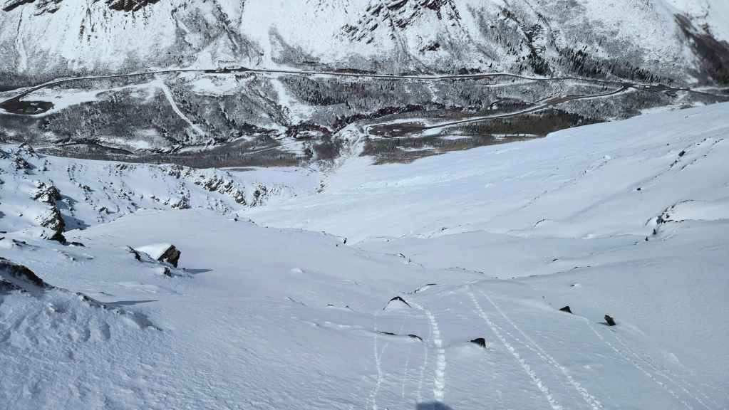
I inadvertently committed myself to descending the northwest slope after dropping over a rock step that was taller than I thought. As it would be too hard to climb back, I decided to make my way down from here.

My view back shortly after starting down.

Meanwhile, Andy decided to return to the gully and follow our route down. (Photo by Andrew Nugara)

Andy’s view inside the gully. Shortly after he began to retrace our steps, a small release flowed past him, thus reaffirming that it was a wise decision to turn back. (Photo by Andrew Nugara)
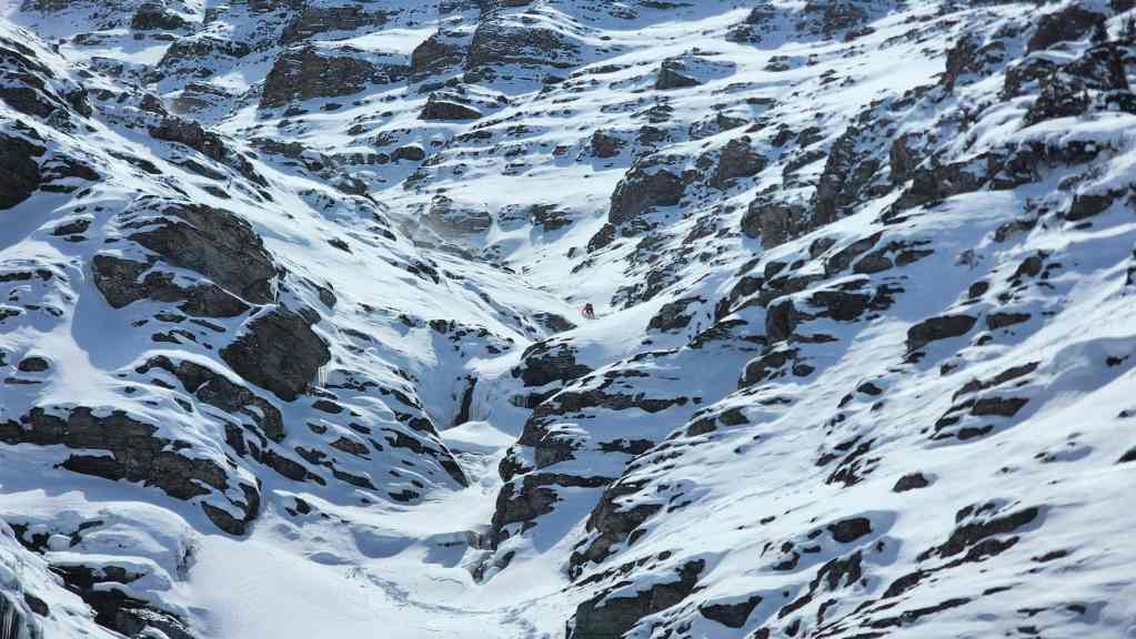
I made it back to the lower reaches of the gully before Andy. Can you see him in the centre?

There he is!

Andy’s view back to me. (Photo by Andrew Nugara)

Another look up the gully. I will definitely return when conditions are more favourable.
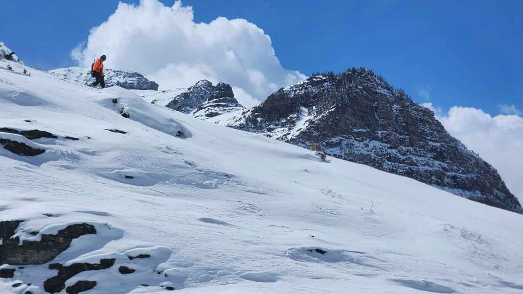
Andy with “Ciabatta and The Breadsticks” in the background. That was also a super fun winter trip!
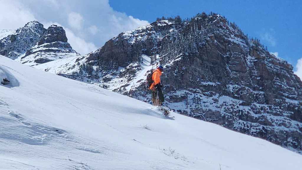
A better view of “The Breadsticks” (left) and “Ciabatta” (centre).
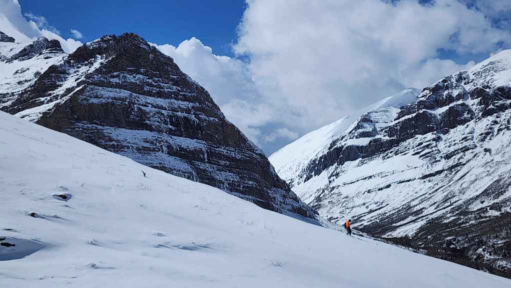
More of the same.
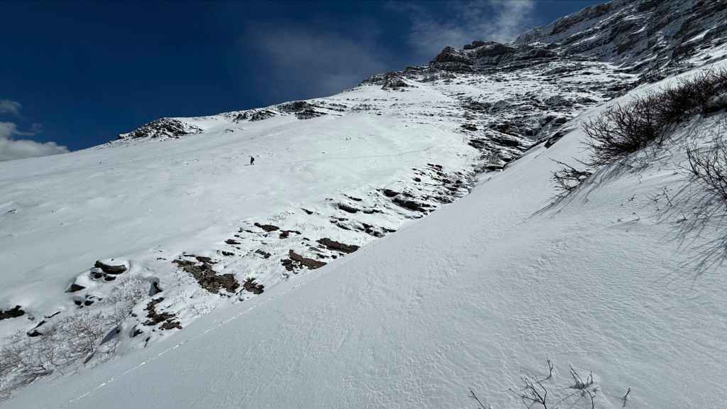
Andy’s view towards me. (Photo by Andrew Nugara)

A closer view of the previous photo. (Photo by Andrew Nugara)
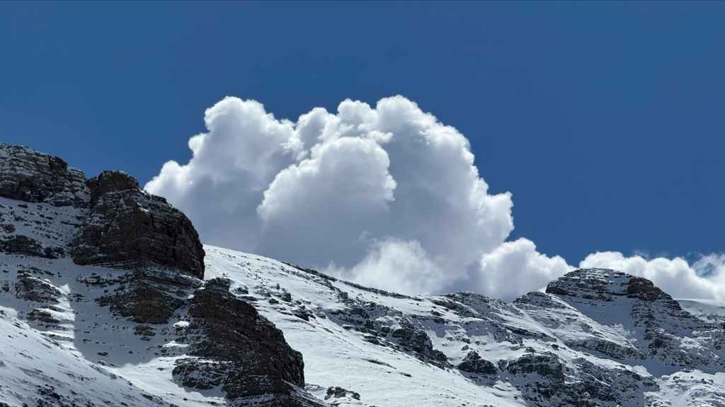
Big, puffy clouds begin to roll in. (Photo by Andrew Nugara)

One last look back…
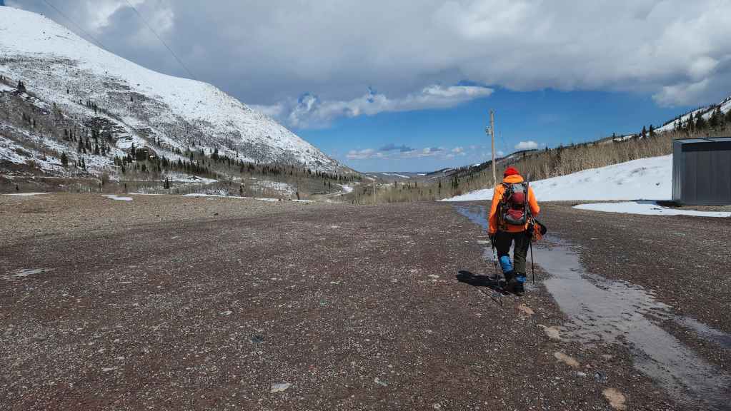
Before heading back along the road.

Sheepers creepers, ewe’ve got to be kidding. 😂
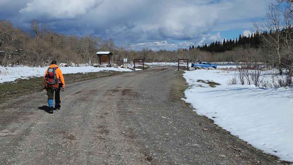
Arriving back at Andy’s truck 5 hours and 45 minutes after starting. Despite having to turn back (always listen to your instincts), it was still an amazing little trip and I look forward to one day returning to use this route. Thanks again to Andy for yet another fun adventure in the mountains. 🙂