


⚠️ Hiking and scrambling are inherently dangerous activities. Please read my Disclaimer. ⚠️
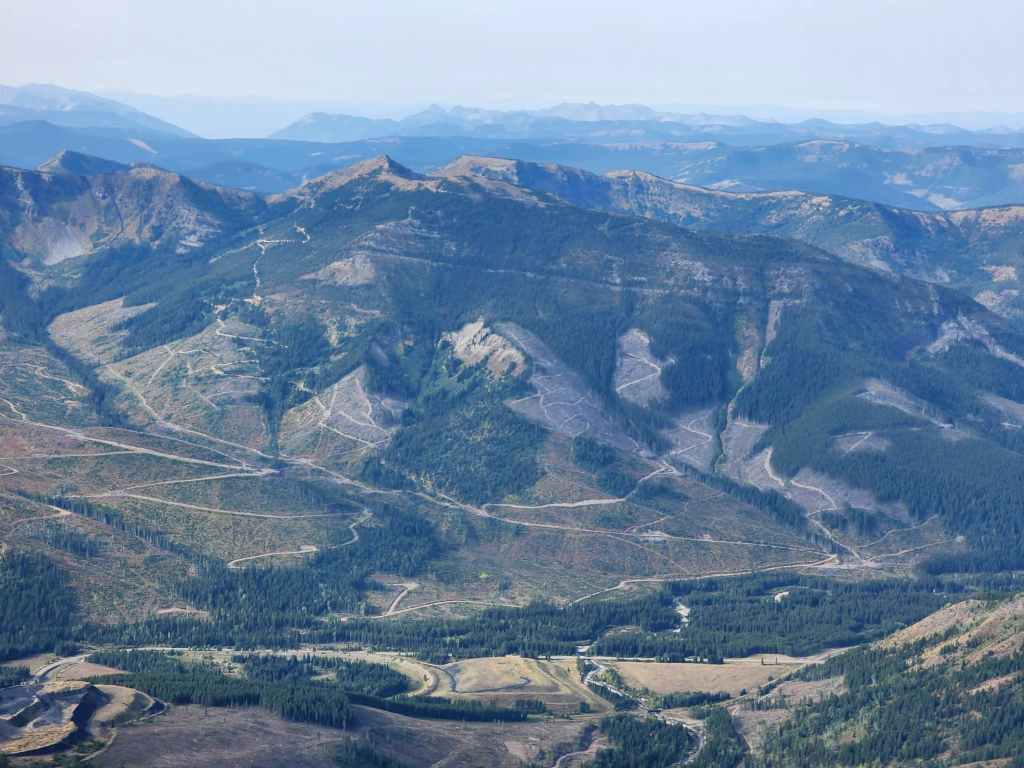
Long on my ‘To Do’ list, Michel Head (2297 m) is an oddly named mountain located immediately to the west of Corbin BC. Back in October 2017, Andrew and I had attempted to reach it after summiting nearby, Mount Taylor, but were thwarted by deep snow. I returned in the spring of 2018 only to find that much of the area surrounding the mountain had been closed off due to active resource extraction. This led me to think about other ways to get onto Michel Head, including a western approach that ultimately ended up in an ascent of Leach Ridge.
A recent drive down the Corbin Road allowed me to note that many of the previous ‘No Trespassing’ signs in the area had been removed or changed to ambiguous ‘Warning’ signs. I’m highly conscious about not trespassing and always avoid doing so. I’m also careful to never encourage or promote it. Therefore, it was with a bit of trepidation that we started up an access road on the east side of Michel Head that warned us that the company which owned the road was not responsible for anything that happened under non-authorized access. It didn’t say we couldn’t use the road, just that we would be responsible for our own actions. This was ambiguous enough for us to conclude that we wouldn’t be trespassing.
A short distance down the road, we came to an open gate with another sign that said, “Private Property – Road Closed to Non-Permitted Motorized Vehicles”. Again, this was ambiguous in that it said the road was closed to non-permitted motorized vehicles. We surmised that if it was a blanket ban on everyone including hikers, it would have very clearly stated, ‘Road Closed – No Entry’, but it didn’t. It was specific to motorized vehicles.
We did however, debate continuing as it did say the road was private, but this also applies to the Andy Good Creek trail that is widely used to reach the headwaters of Andy Good Creek and to train tracks everywhere. A short distance from this sign, we could also see some RVs random camping in the distance, and they had obviously accessed their location by driving in on this road, so we took a chance and kept going.
We ended up taking our first left when we came to a fork which led us up a newish road when perhaps we should have kept going straight and towards the RVs, as this was most likely where the decommissioned logging roads on Michel Head began. A few kilometres up the new road, we found ourselves staring across a valley at Michel Head along with a connecting ridge that led onto Michel Ridge. We could immediately see that our error in navigation had inadvertently led us onto a potential loop route that included the summit of Michel Head along with a traverse of Michel Ridge.
To check out the small ridge that led onto Michel Ridge, we continued down the road a short distance until we arrived at a sign that indicated we could not proceed any further due to resource extraction activity. At this point, a work truck came up the road and we figured this was the moment of truth – we would either be reprimanded or given the green light. The worker slowed down as he approached us and gave us a friendly smile and wave as he proceeded onto the restricted area of the road. Whew! We were validated in our interpretation of the signs; at least anecdotally.
As the active work sign was located at the start of the small ridge, it was the perfect starting place for our loop. We stashed our bikes off to the side of the road before heading across the valley and onto the old logging roads that would quite literally, take us onto the summit of Michel Head. From there we proceeded to tag the much higher, but unofficial summit of Michel Ridge (2327 m) before traversing the entirety of the southeast section of the ridge. We then headed back down to our bikes for the quick ride back.
In all, this trip had a bit of everything: easy logging roads, a colourful ridge walk, and views of three lakes. In fact, the distinctive southeast summit (2292 m) of Michel Ridge not only sits above a pretty green tarn, it also offers a good view of Elliot Lake that sits beneath nearby, Limestone Ridge.
Finally, the best I can find regarding the name, is hearsay that relates to it being close to the headwaters of Michel Creek. It could also be related to the mining activity that occurred in the old town of Michel, that existed in the area from the late-nineteenth century until the late 1970s. (source) According to the Government of British Columbia, Michel Head was officially designated as an official peak on July 4th, 1960. (source) What’s really strange, is that the highest point on Michel Ridge is located a short distance away, and it is much higher than the official summit, but yet, it is not officially recognized. In, Surveying the Great Divide, Jay Sherwood includes a panorama of the Corbin Mine that was taken by A.O. Wheeler in 1914 from what is obviously the summit of Michel Ridge, but is unidentified in the photo. (72,73)
Be sure to read Andrew’s awesome trip report!
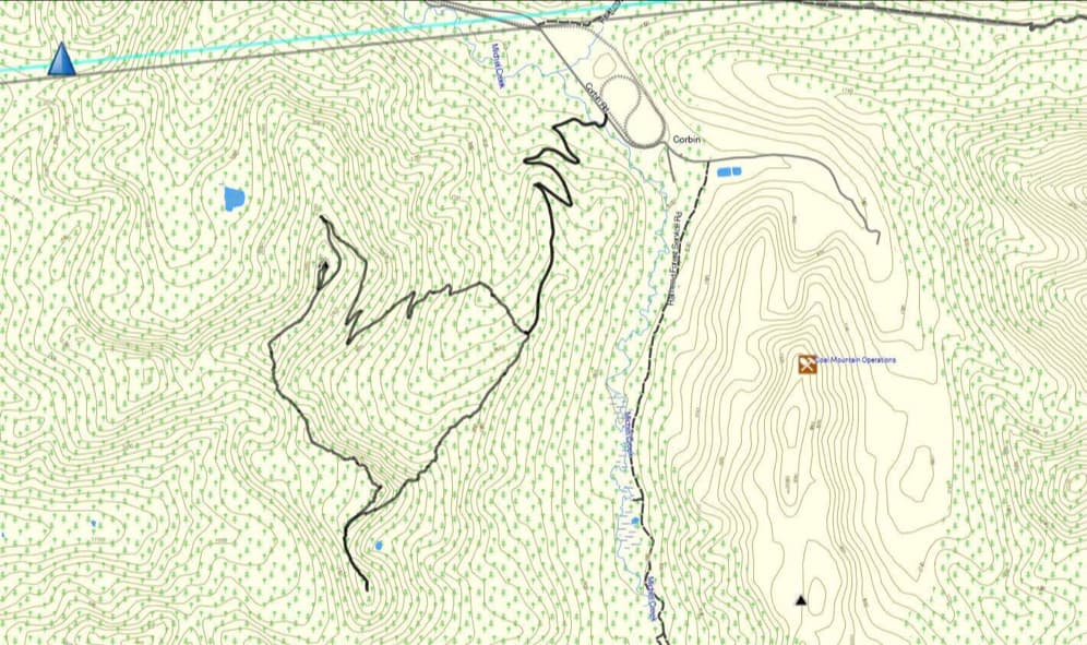

To get to Michel Head and Michel Ridge, we drove west of Summit Lake in the Crowsnest Pass for ~7 km until we came to the junction with the Corbin Road on our left. We then followed this road for ~21.5 km until we came to the entrance to a logging road on our right. This was where we began.
After carefully noting the ambiguous warning signs about accessing the road, we made the decision to continue and took our first left past the open gate which was located ~400 m from the Corbin Road. We then proceeded to follow the road for another ~3.7 km (305 m elevation gain) until we were at the base of a small ridge that led up to a high point on Michel Ridge and immediately across a small valley from Michel Head. This is where we left our bikes. Again, I do not recommend that others use this road unless they have confirmation it is okay.
From the road we descended into the intervening valley (~600 m and a 120 m elevation loss to the creek) and then we simply followed a series of logging roads and switchbacks all the way to the summit of Michel Head. We could have tackled the summit in a more direct manner; however, we decided to keep gaining easy elevation using the roads and we were curious how far up the mountain they went. It turned out they went right to the top. For reference, from our starting point on the Corbin Road, it was ~9.7 km to the summit with a 905 m elevation gain (including the 120 m loss and gain while crossing the valley).
From the summit, we then made the easy ~960 m hike (64 m total elevation gain) over to the unofficial high point of Michel Ridge (2327 m). After enjoying the views, we then began our traverse of Michel Ridge, beginning with a ~1.95 km ridge walk (162 m total elevation gain) over to the high point (2284 m) that connected with the small ridge back to our bikes.
We then continued along the ridge for ~1.2 km (69 m elevation gain) until we were on the summit of the prominent southeast peak (2292 m) that marked the end (or start) of Michel Ridge. To return, we retraced our steps towards the previous high point, but to avoid descending through cliffs, we began our descent prior to reaching the summit; traversing our way around the mountain until we were on the small ridge that led directly back to our bikes.
Heavy to moderate bushwhacking awaited us along the ridge, until things opened up closer to the road. Once back on our bikes, it took us less than 15 minutes to make the ~4 km trip back to the Corbin Road.
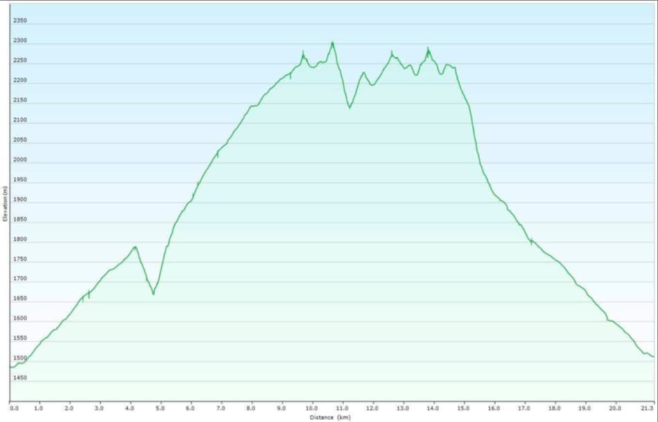

Our total roundtrip distance was 22.3 km with a total elevation gain of 1251 m. Our total roundtrip time was 7 hours and 22 minutes.


Starting up the access road.
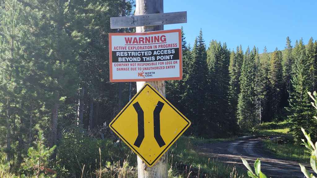
I’m a huge stickler for never trespassing. However, the sign did not say the road was entirely off limits, just that we would be responsible for our own actions. This ambiguity was enough for us to conclude that we wouldn’t be trespassing, so we continued down the road.
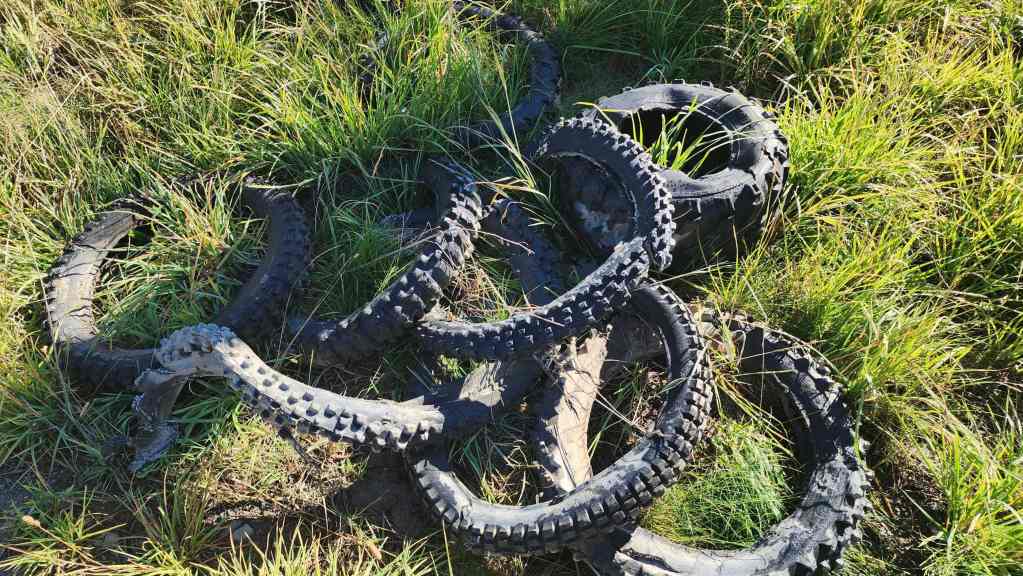
A pile of old motorcycle and ATV tires beneath the sign. Perhaps the remnants of those who suffered loss or damage? 😂

After crossing the bridge, we came to an open gate with this sign. Again, this was rather ambiguous in that it said the road was closed to non-permitted motorized vehicles (note the minuscule, ‘To’). However, the road itself was definitely marked as private property. After a prolonged period of discussion, we surmised that if it was a blanket ban on everyone including hikers, it would have very clearly stated, ‘Private Property – No Entry’ or simply, ‘Private Property – Road Closed’ but it didn’t. It was specific to unauthorized motorized vehicles. Rightly or wrongly we gambled on semantics.
A short distance from this sign, we could also see some RVs random camping in the distance, and they had obviously accessed their location by driving in on this road. Later, a work truck approached us and slowed down. The driver gave us a very friendly smile and wave before proceeding into a clearly signed active work area. This anecdotally validated our assumption that hikers were not a concern. However, without firm confirmation, I can’t recommend that fellow hikers use this road.
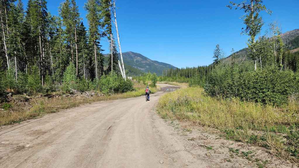
Riding beyond the gate where we will soon take our first left. We probably should’ve kept going straight as this would have led us to the start of the decommissioned roads that crisscross Michel Head. The road we took was newer and led us to a point across the valley from Michel Head. It did however, allow us to see an excellent loop route.


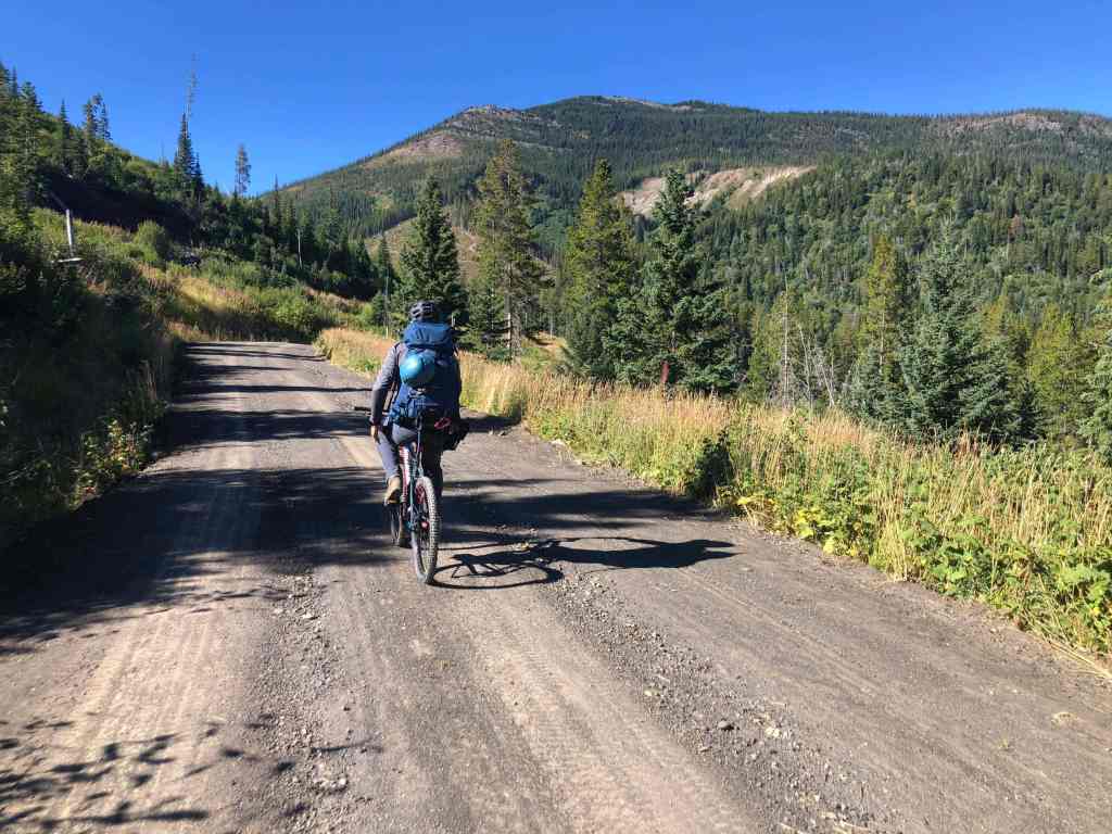
While Andy could cruise effortlessly on his e-bike, I ended up pushing my bike for most of the ~4 km. (Photo by Andrew Nugara)
A rare stretch where I could ride… (Photo by Andrew Nugara)
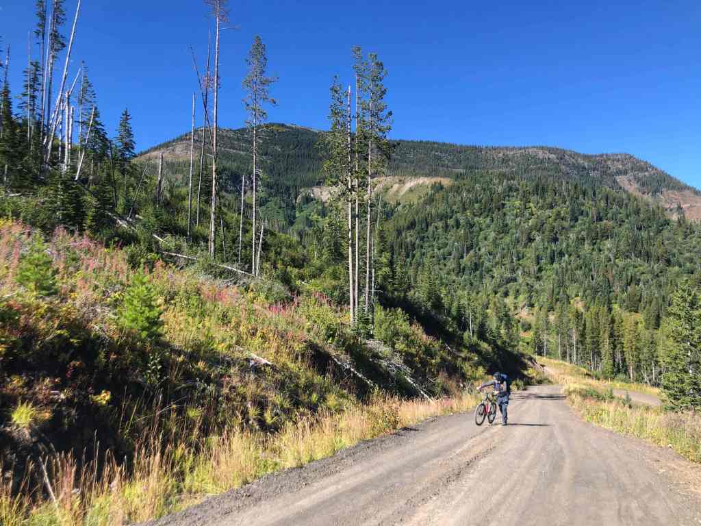
Before being relegated back to pushing. Michel Head is in the background. (Photo by Andrew ‘My E-Bike Exists To Mock Dave’ Nugara)


It was an absolutely gorgeous day, providing us with stellar views of the Flatheads all day long. In the background is Mount Ptolemy. (Photo by Andrew ‘Look At Me Not Break A Sweat While Dave Has To Push His Pleb Bike’ Nugara)
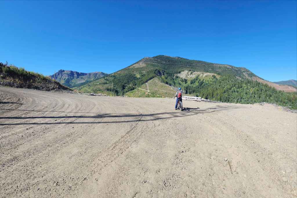

The point where we realized that we were quite far from Michel Head. However, one of the high points (left) on Michel Ridge caught our eye.
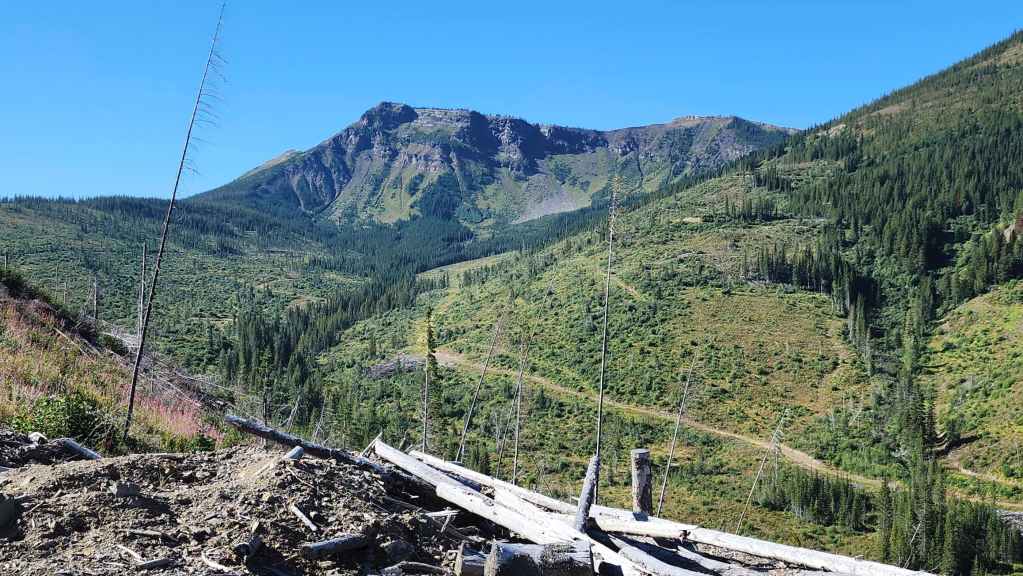
Looking at the high point and the nice ridge leading up to it. At the end of the day, we would end up using that ridge to descend back to our bikes.


Our proposed route begins to unfold…
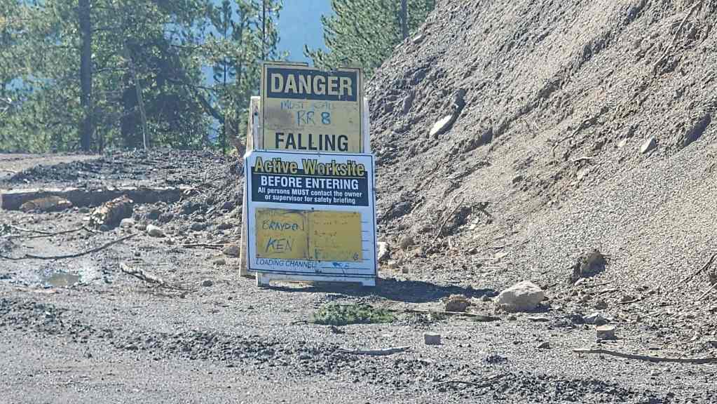
We came to this sign where the ridge leading to the high point intersected the road. This was also when the worker in the truck passed us. This was clearly a no-go for access; however we did not need to go beyond this sign anyway and so, this is where we’d ditch our bikes.

The large open area where the road meets the ridge.

From here we would could also see the summit of Michel Ridge (far left). We would make a beeline for those old roads leading up Michel Head. This would involve losing 120 m of elevation over ~600 m to reach the small creek in the valley. From there it was simply a matter of following roads all the way to the summit.

While we could have avoided most of the bushwhacking by following an old road down to the creek, our youthful exuberance got the best of us. 😂
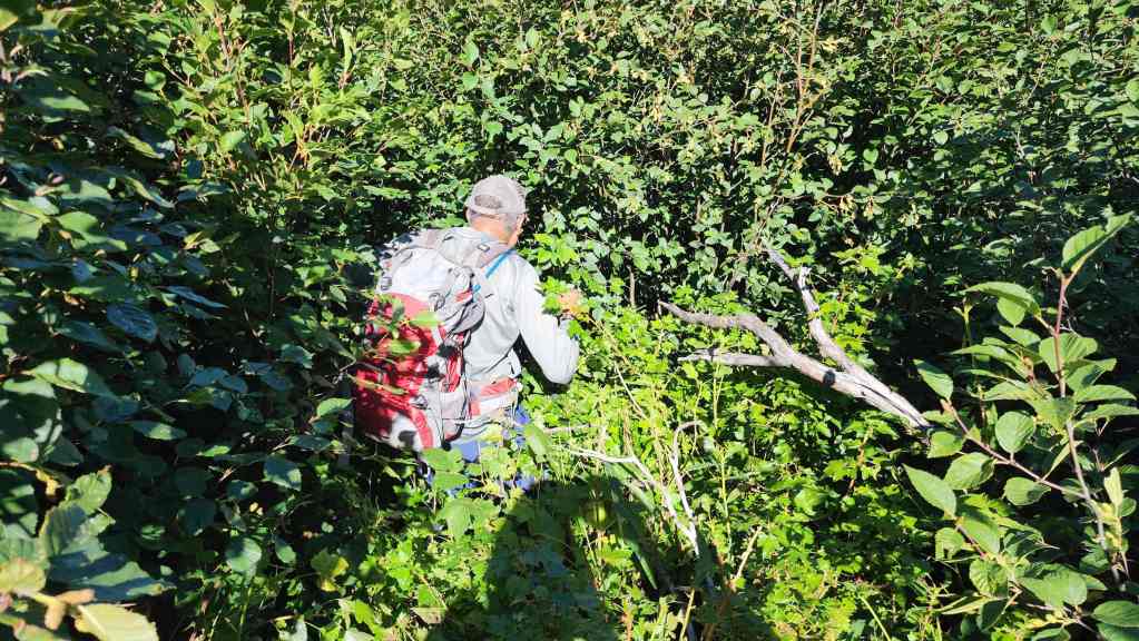
Andy performs a disappearing trick.
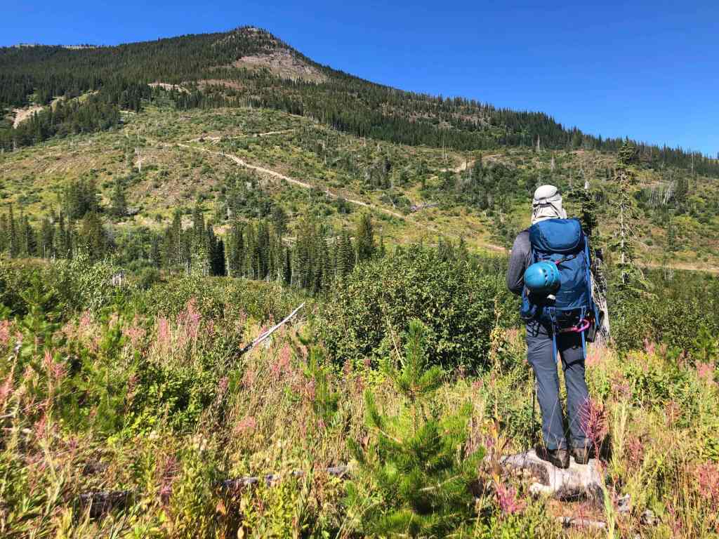
Almost at the creek. (Photo by Andrew Nugara)

Crossing some deadfall before reaching the creek. (Photo by Andrew Nugara)
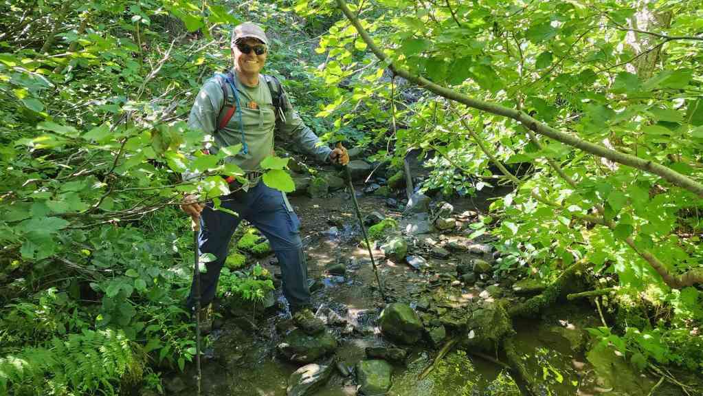
The creek was not hard to cross.


Finally on the old logging road.
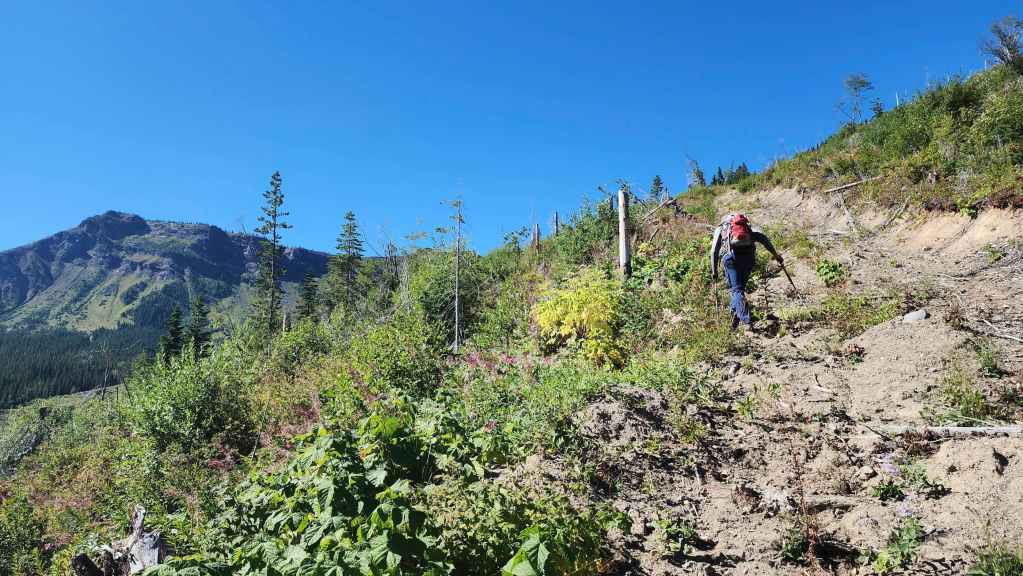
Heading up.
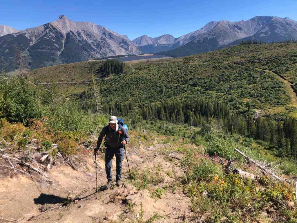
The view back. (Photo by Andrew Nugara)
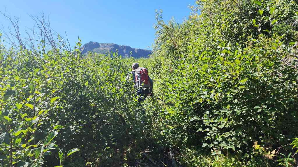
The lower road was overgrown at times.
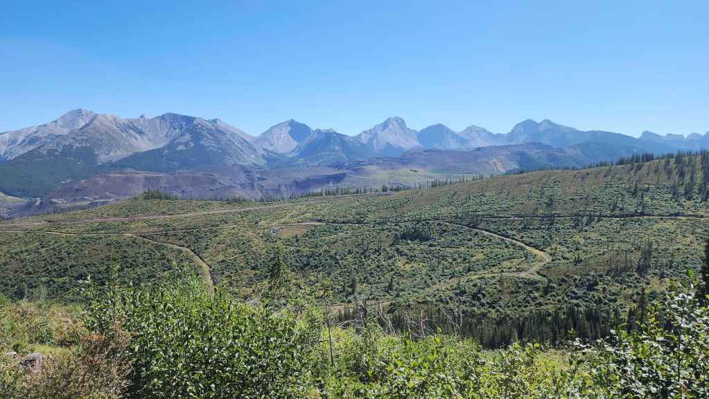
Glancing back. Our bikes are on the ridge line where the upper road disappears.
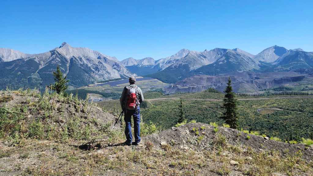
Our views of the Flatheads would get better and better throughout the day.

The overgrown road soon intersected with another road that was in good condition. The road will be like this all the way to the top. (Photo by Andy Nugara)

I found an unusual spherical rock alongside the road. (Photo by Andrew Nugara)
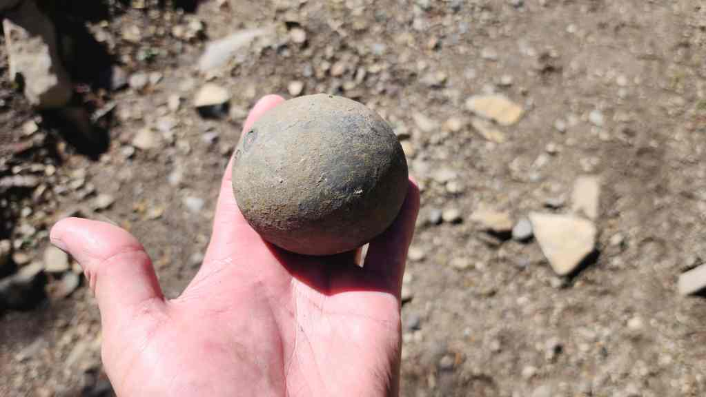
It’s not metal and more than likely it is a rock concretion. Perhaps it’s a dinosaur egg or a geode? It’s also not magnetic so I doubt it’s a meteorite. Maybe it’s a Sasquatch testicle? 😂
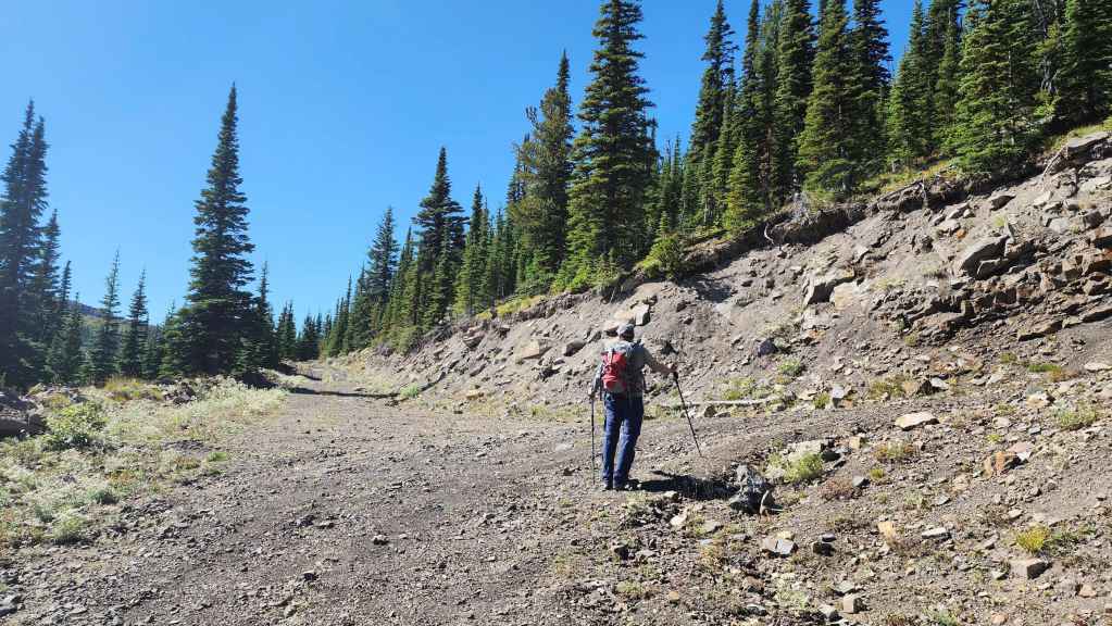
Following a switchback.
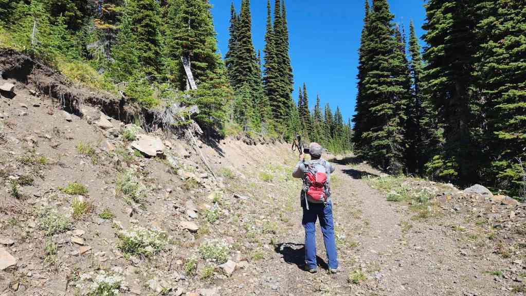
Andy photographs a dilapidated sign hanging from a tree.
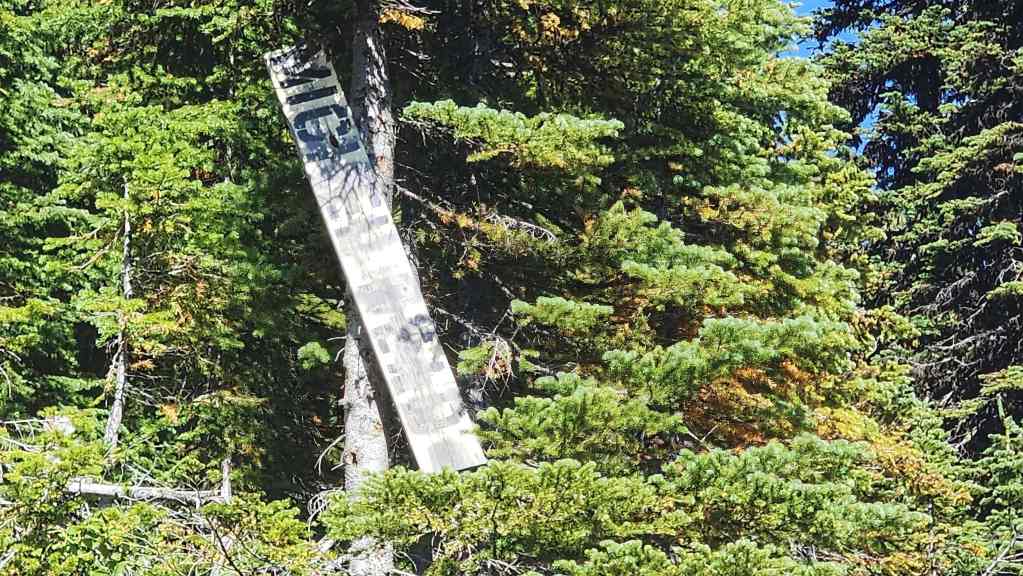
A closer look of the previous photo. We are definitely headed in the right direction. 😂

The road soon emerges from the trees. (Photo by Andrew Nugara)
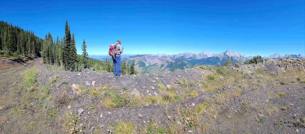

And onto yet another great viewpoint!
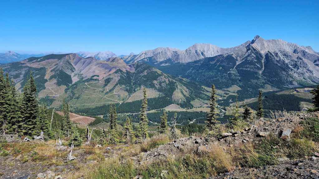
Looking across to Tent Mountain (left), the Northwest Ridge of Ptolemy (centre), and Mount Ptolemy (right).
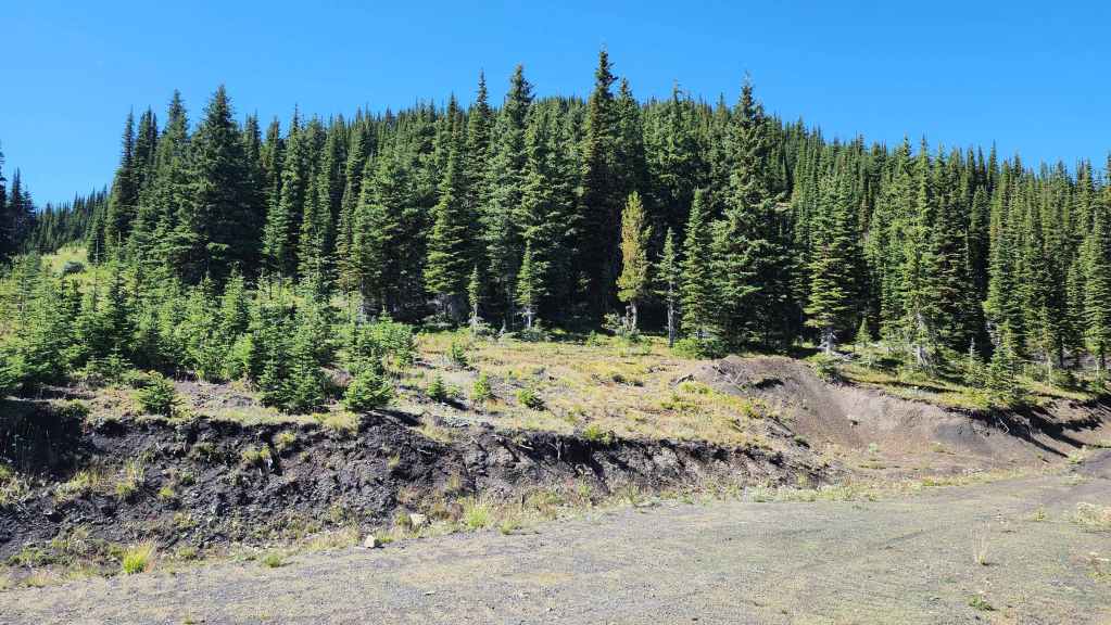
From the viewpoint, it was tempting to just head up to the summit. However, the road kept going and we were curious if it would actually lead to the top…

So we kept following it.
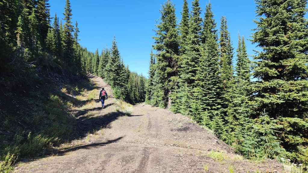
Not far from the viewpoint, a branch of the road headed up. At this point, we had started circling the mountain, but at least we were still going up.
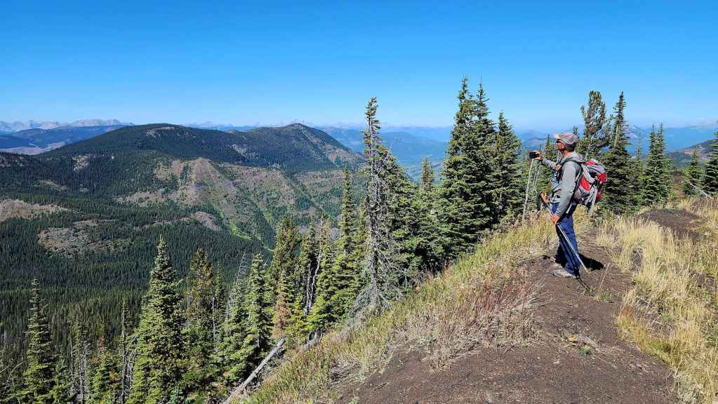
A switchback gave us another opportunity for some views. Mount Taylor is in the background.
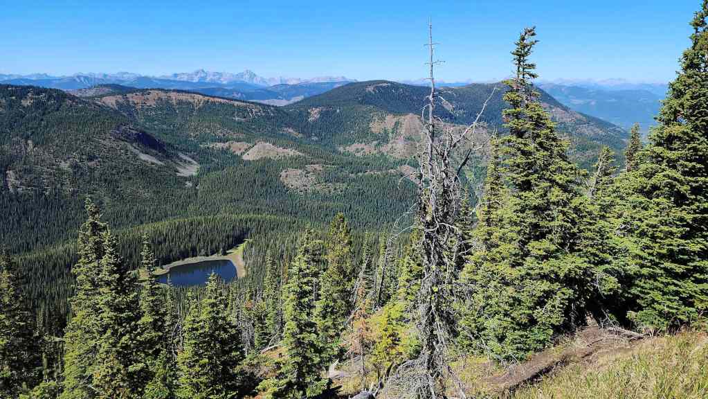
We could also see the first of the three lakes we would see on this trip.
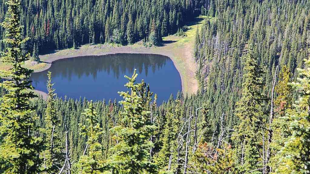
We’d been curious about this lake ever since our Mount Taylor trip back in 2017.
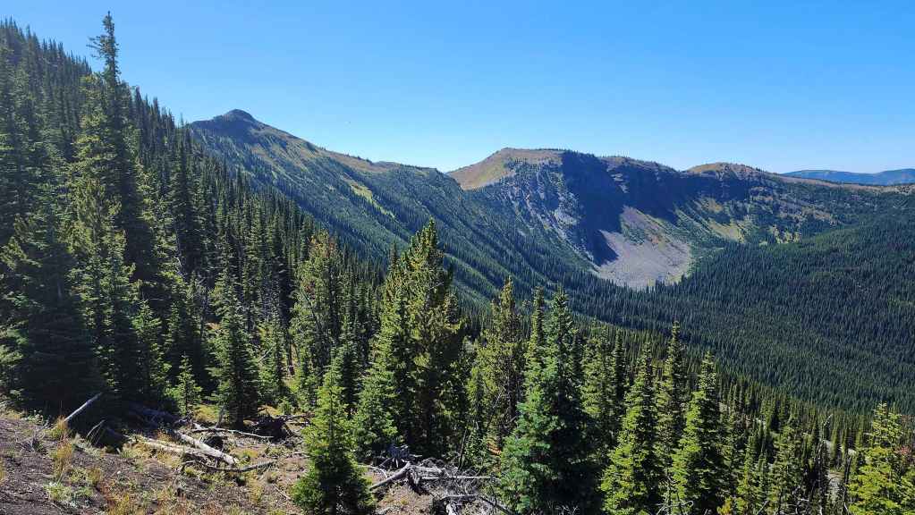
Our first good look at the much higher, but unofficial summit of Michel Ridge (left) along with a high point (centre) on the northwest section of Michel Ridge. Our route would start on the summit and then traverse the entirety of the southeast section, ending up on the southeast peak where we’d have a great view of Elliot Lake along with another small tarn.

That’s the summit ridge of Michel Head. Again, it was tempting to just make the easy hike from here, but we wanted to know if the road would lead us to the top.


More great views as we follow the road.
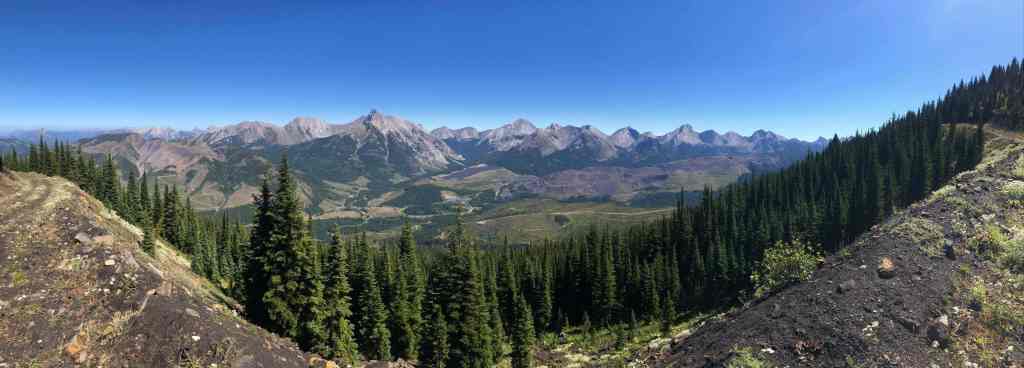

Andy’s view from the previous photo. (Photo by Andrew Nugara)
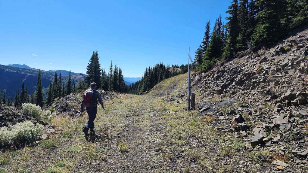
The road is still going up.


On the left is the high point on the southeast section of Michel Ridge that we will visit later in the day. (Photo by Andrew Nugara)
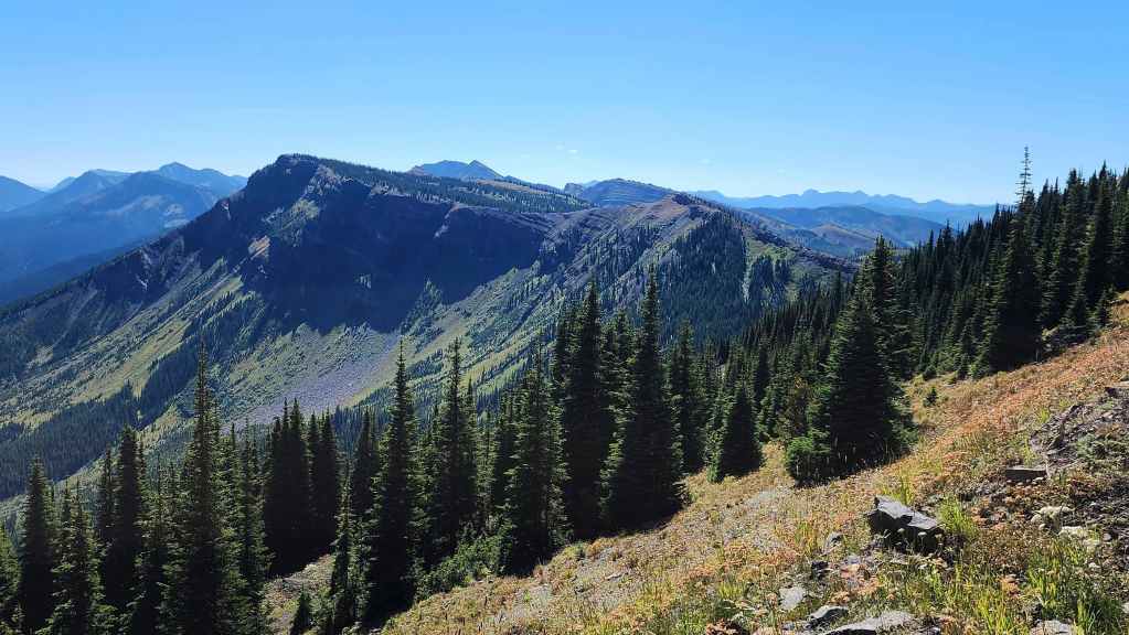
A closer look at the high point. Neither of us were expecting the amazing colours that we encountered as we made our way along the ridge. When combined with the lakes, this traverse would end up being the highlight of the day.
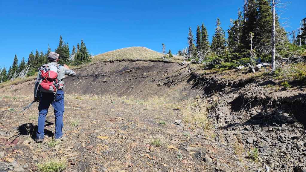
The road ended only a few metres from the summit. This was awesome! If only more mountains had roads all the way to the top. 😂

The official summit of Michel Head (2297 m).
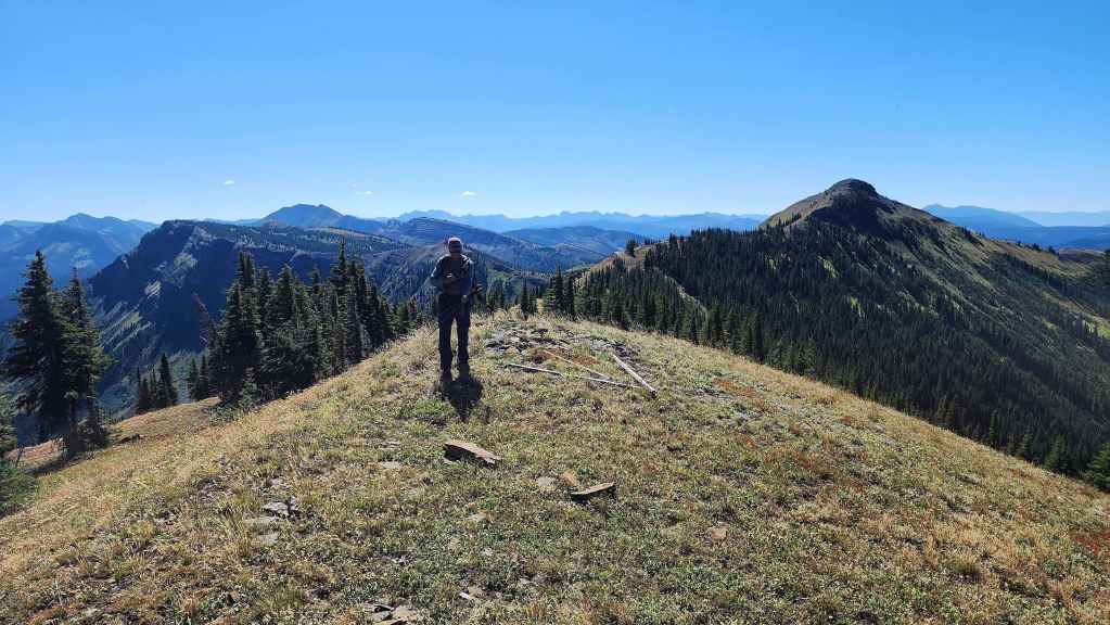
A pano to the south…
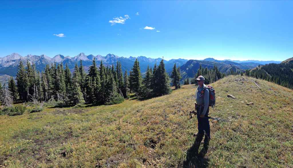

And then to the southeast.


Looking east…
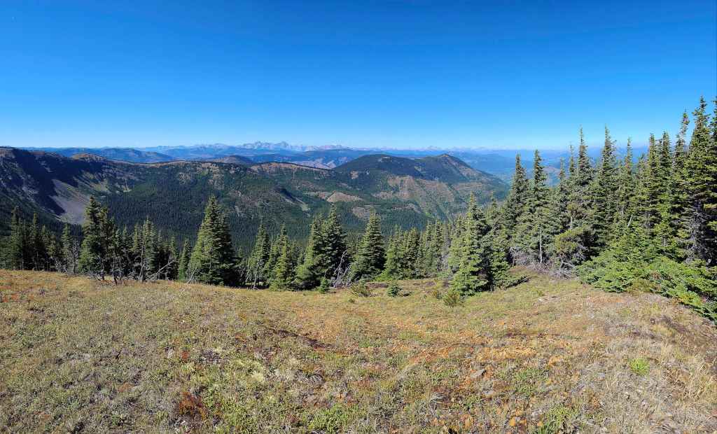

And then to the northwest.
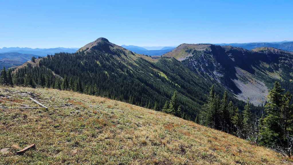
The weird thing about this mountain is that the official summit of Michel Head is lower than the unofficial summit of Michel Ridge (left of centre).
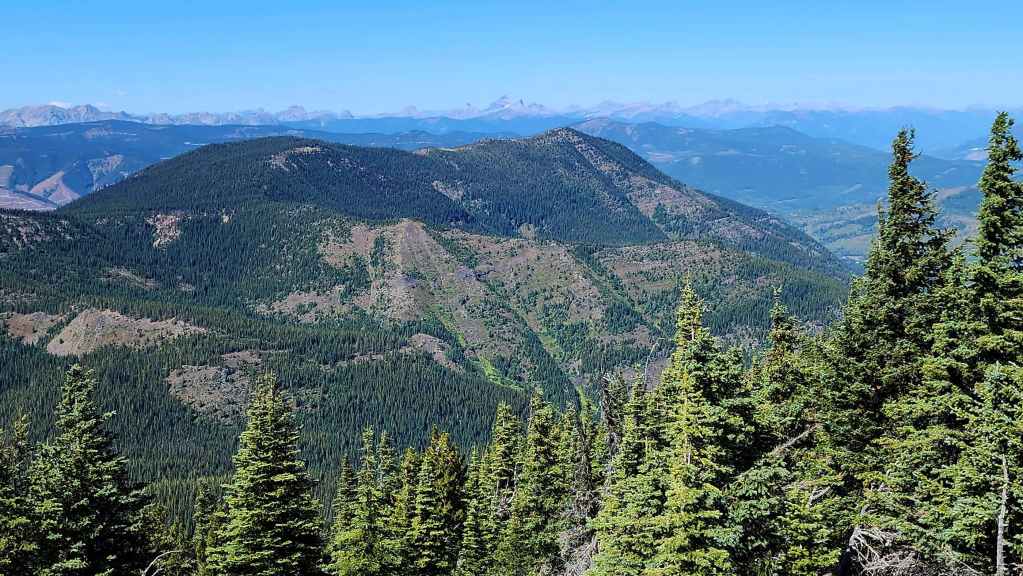
A closer look at Mount Taylor.

The Northwest Ridge of Ptolemy is comprised of three distinct peaks. It’s a fun ridge walk!
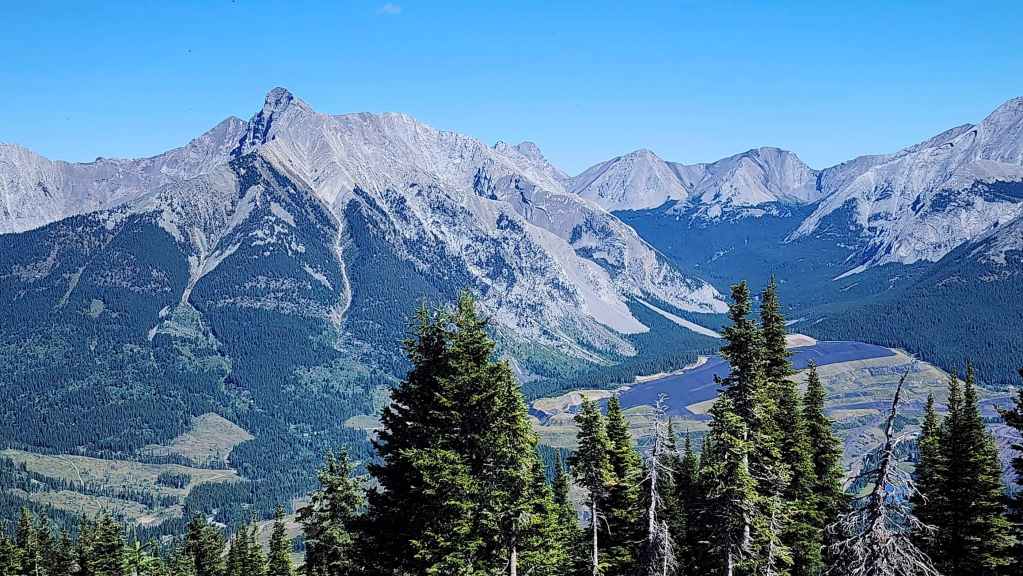
Mount Ptolemy (left) is the highest peak in the area.
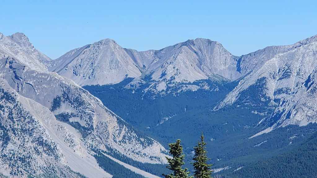
Looking past Ptolemy towards Sunglass Mountain (left of centre) and Peak 34 (centre).
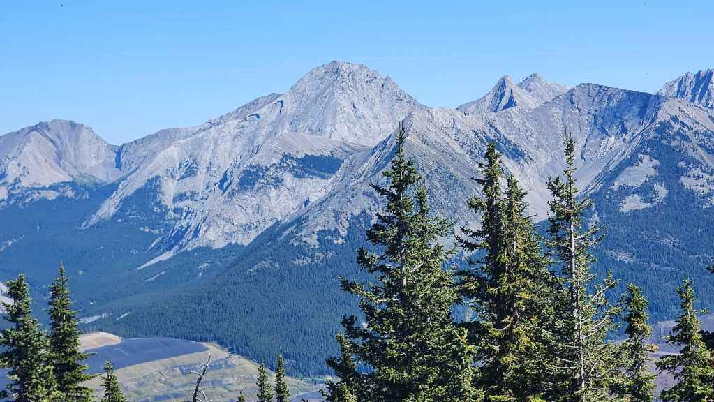
Ptolemy SE5 (centre)is still on my ‘To Do’ list… Mount McGladrey is to the right of centre.
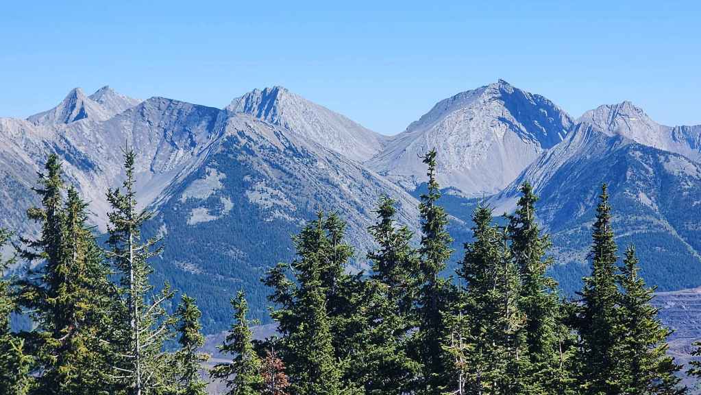
Mount McGladrey (far left), Mount Pengelly (left of centre), and Darrah N2 (right)
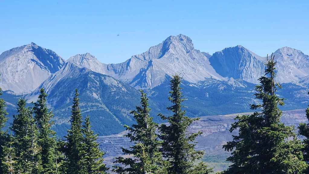
A whole bunch of ‘To Do’s’ for me: Darrah N2 (far left), Darrah N1 (left), Mount Darrah (centre), Darrah SW1 (right), and Darrah S1 (far right).
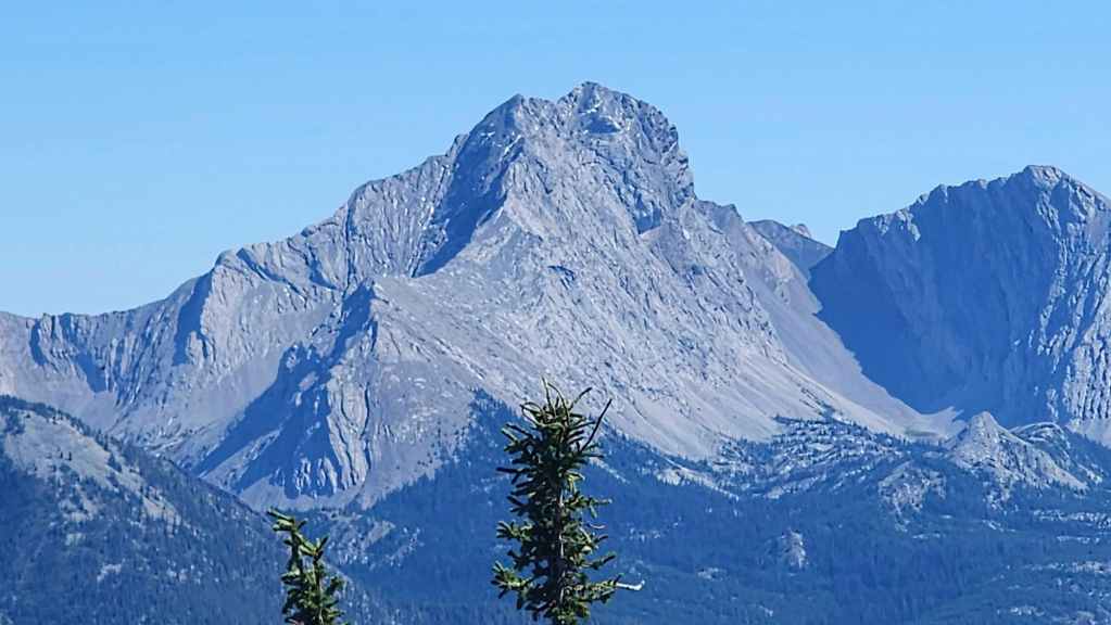
A closer look at Mount Darrah.
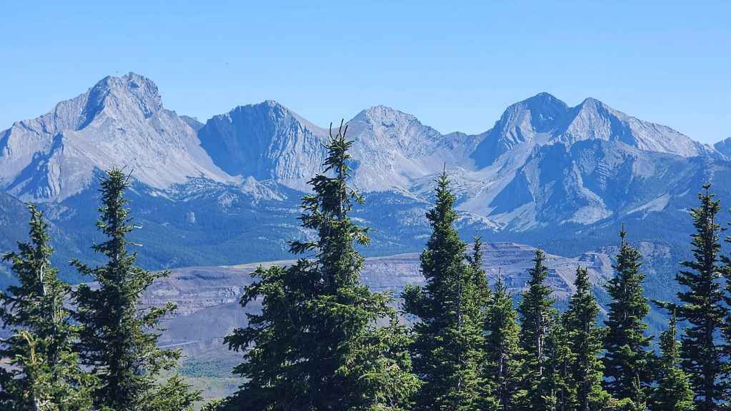
Mount Darrah (left), Darrah SW1 (left of centre), Darrah S1 (centre), and Darrah S2 (right).
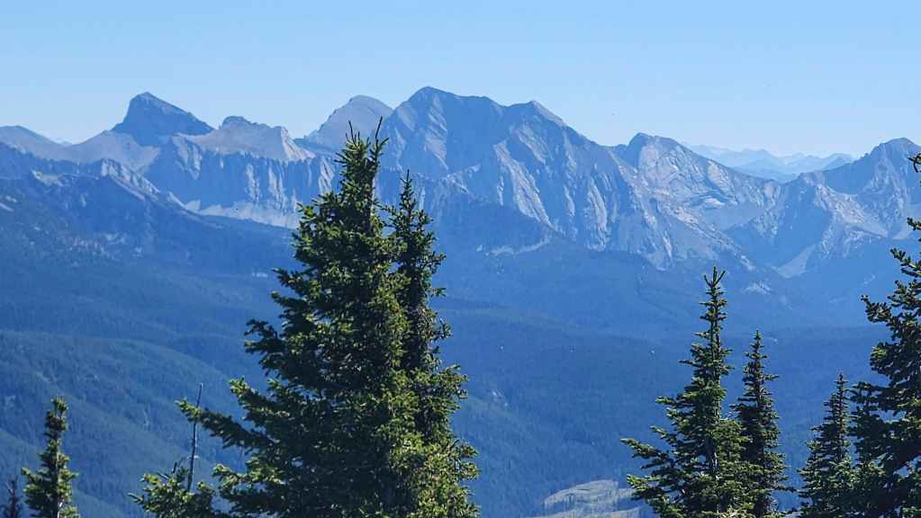
Looking over at Centre N1 (left), Centre SE1 (left of centre), Centre Mountain (centre), and Mount Borsato (far right).
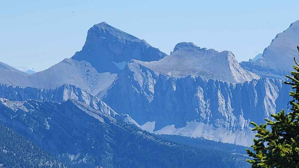
A closer look at Centre N1. Earlier in the summer, Andy and tried to get onto it from Darrah SE4, but had to turn back due to extreme heat.
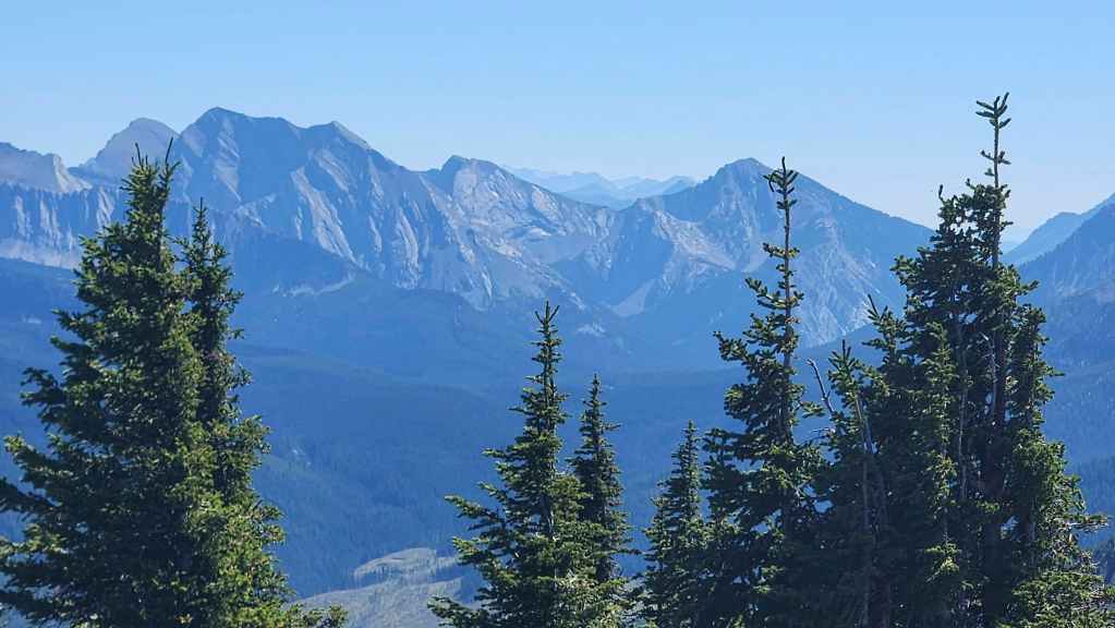
Centre Mountain (left) and Mount Borsato (right)


Me on the summit Michel Head. (Photo by Andrew Nugara)
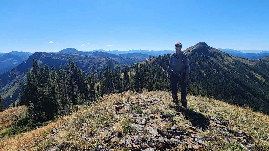
Andy on the summit.

With our route laid out before us, we set out to traverse the southeast portion of Michel Ridge. Click to follow us.