

⚠️ Hiking and scrambling are inherently dangerous activities. Please read my Disclaimer. ⚠️
PLEASE NOTE: Montem Resources is considering reopening Tent Mountain as an active mine, and as of 2019, they have closed off all public access. DO NOT USE THIS ROUTE!
In 1911, Dominion Land Surveyor and co-founder of the Alpine Club of Canada, Morrison Parsons Bridgland, took note of a diminutive mountain in the Crowsnest Pass that was located along the Alberta/B.C. border. The mountain’s profile reminded him of a ridge tent – with the north and south summits representing the ends, the summit ridge as the roof, and the east and west faces as the side walls. Hence, he bestowed on it the official name of Tent Mountain.
Though this might seem rather mundane, Bridgland himself was anything but. According to I.S. McLaren’s, Mapper of Mountains: M.P. Bridgland in the Canadian Rockies 1902-1930, Bridgland “provided the first detailed maps of many regions of the Canadian Rockies. Between 1902 and 1930, this unheralded alpinist perfected phototopographical techniques to compile a series of mountaintop photographs during summers of field work, and spent his winters collating them to provide the Canadian government, tourists, and mountain climbers with accurate topographical maps.” In other words, Bridgland was the original Google Earth and if he said a mountain looked like a tent, then it looked like a tent.
Not long after Bridgland had given Tent Mountain its official name, coal was discovered in the area and for a brief period between 1919 and 1923, an underground mine was operated by Spokane & Alberta Coal and Coke Company. In, Hiking the Historic Crowsnest Pass, Jane Ross and William Tracy note that in 1948 a new mine was opened on Tent Mountain by Hillcrest Mohawk Collieries (which also owned a mine near Hillcrest Mountain). This mine used the process of open pit mining which involved removing the trees, soil and rock. Then, the draglines moved in and worked down the coal seam. Permanently closed in 1983, Tent Mountain was the last open pit coal mine on the Alberta side of the Crowsnest Pass.
Today, Tent Mountain still bears the unmistakeable scars of 35 years of pit mining though remarkably, it still retains its tent-like profile. To see a photo of Tent Mountain in 1914 and a replica photo from 2010, go to The Mountain Legacy Project. The composition is from the NW – probably the end of Loop Ridge or Trail Hill – so the tent shape is not as visible as it is from the east, but a comparison of the two photos demonstrates that despite the pit mine, the mountain’s profile has not been significantly altered.
A couple summers ago, Jeff and I had driven to the trailhead for Tent Mountain but at the last minute changed our minds, opting instead for an ascent of McGillivray Ridge and Ma Butte. Three weeks ago, during a solo snowshoe up Island Ridge, my interest was piqued again as I looked at the easy grade of the access road and the relatively straightforward approach to the summit. If the snowpack in the bowl between the south summit and the north summit was stable, I reasoned that this could be a very interesting snowshoe destination. In fact, it might be preferable to climb Tent Mountain in the winter rather than in the summer because the snow adds a measure of beauty to an otherwise desolate landscape.
Joining Jeff and I on this day was my friend Brad, who had hiked Tent Mountain Pass last summer with his family and as such, was eager to summit the Mountain itself.

To get to Tent Mountain from Lethbridge, we drove west on Highway 3 until we came to Coal Road which is located 1.3km past the large rest area adjacent to the highway on the west end of Crowsnest Lake. We turned left onto Coal Road and drove 4.5km until the road came to an end in a large clearing. The trailhead for Tent Mountain is easily recognized at the southern end of the clearing by the presence of a large iron gate which bars vehicles from continuing further up Coal Road.
Driving up Coal Road in the winter is perhaps the crux of the entire trip and depending on snow conditions, may or may not be possible. Three weeks earlier on my ascent of Island Ridge, I elected not to drive up Coal Road after encountering a short section of questionably deep snow. I did not want to risk getting stuck because I was alone, so I ended up walking the road, though once past the section in question, I discovered that the road was indeed drivable with a 4 x 4. This time, I was accompanied by Jeff and Brad and felt more confident in being able to dig out should we happen to get stuck. So when we came to the same section of deep snow (just before the recently repaired section of road about 800m from the highway), we plowed our way through. The rest of the drive up Coal Road was uneventful though the warmer temperatures made for some soft sections where care was needed. We did end up getting stuck briefly at the trailhead when I was attempting to turn the vehicle around to park but Jeff and Brad hopped out and after a few minutes of pushing, my trusty 2003 4runner was free and firmly parked on the tracks we had made coming in. At the end of the day, despite the onset of heavy snow, we had little difficulty in making our way back to the highway. The moral of the story: I would not recommend travelling on Coal Road in the winter unless you have a 4 x 4 and have other people with you. If you have all of this and are a confident driver, then I would say definitely proceed but at your own risk.
Oh, I should mention that the biggest excitement that we had on Coal Road was coming around a corner and startling a lone snowshoer who turned out to be Andrew Nugara, author of More Scrambles in the Canadian Rockies, Snowshoeing in the Canadian Rockies, and A Beginner’s Guide to Snowshoeing in the Canadian Rockies. Andrew and I had been in contact over the past couple of months regarding some snowshoe routes in the CNP and when we encountered Andrew along the road, he was just returning from following my trip report up Island Ridge – very cool! We chatted for a few minutes but unfortunately, Andrew did not have time to join us in ascending Tent Mountain.

We used the route as outlined in Hiking the Historic Crowsnest Pass. From our vehicle we followed the old mining access road for about ~2.2km until we came to the first of four switchbacks on the road (shown on previous map). We debated trying to shorten our trip by going up an old cutline or by bushwhacking between the sections of road, but in the end decided that we were making good time by sticking to the easy grade of the road. Just under 1.5 hours after starting, we arrived at the former mine site. From here we continued past a man-made lake and began to ascend towards the summit using more switchbacks. At the base of a large bowl between the south (true) summit and the north summit, we left the road and made our way up a steep slope. We continued south for a short distance before making our way through very deep snow up to the summit ridge. Once on the summit ridge it was a pleasant 250m snowshoe to the summit. In total, it was 8km from our vehicle to the summit of Tent Mountain. We descended using the same route.
Edit 15 July, 2016: Bob Spirko recently pointed out to me that at the entrance to the mining access road – to the left of the gate – there is a white, weatherworn, ‘Private Property. No Trespassing’ sign. Due to its deteriorated condition, we ended up completely missing it, so I inquired with a very reliable source who lives in the CNP, and as far as anyone can tell, this sign dates back to when the mine was operational in the early 1980s. No one that I’ve talked to is aware of any issues with private property on Tent Mountain. We did not encounter any other official signs on the mountain, which I believe supports this information. It does however, underscore the importance of making sure that we always respect private property. Many landowners are happy to give permission to hikers, but all it takes is one person to trespass or leave a gate open to ruin it for everyone else. So thank you Bob for your diligence and keen eyes!

Our total distance travelled was 15.6km with total elevation gains of 752m. Our total roundtrip time was 5 hours and 15 minutes.

Gearing up in the clearing where the drivable portion of Coal Road ends. The trailhead (the continuation of Coal Road) is just to the left of centre. We got briefly stuck in the snow while turning the vehicle around, but some ice axes and the muscle power of Jeff and Brad got us out in no time. I parked facing the way we came in.

Looking north from our parking spot at Island Ridge – and no, Jeff is not peeing in this picture. 😉

Shortly after starting, Jeff approaches the first obstacle of the day.
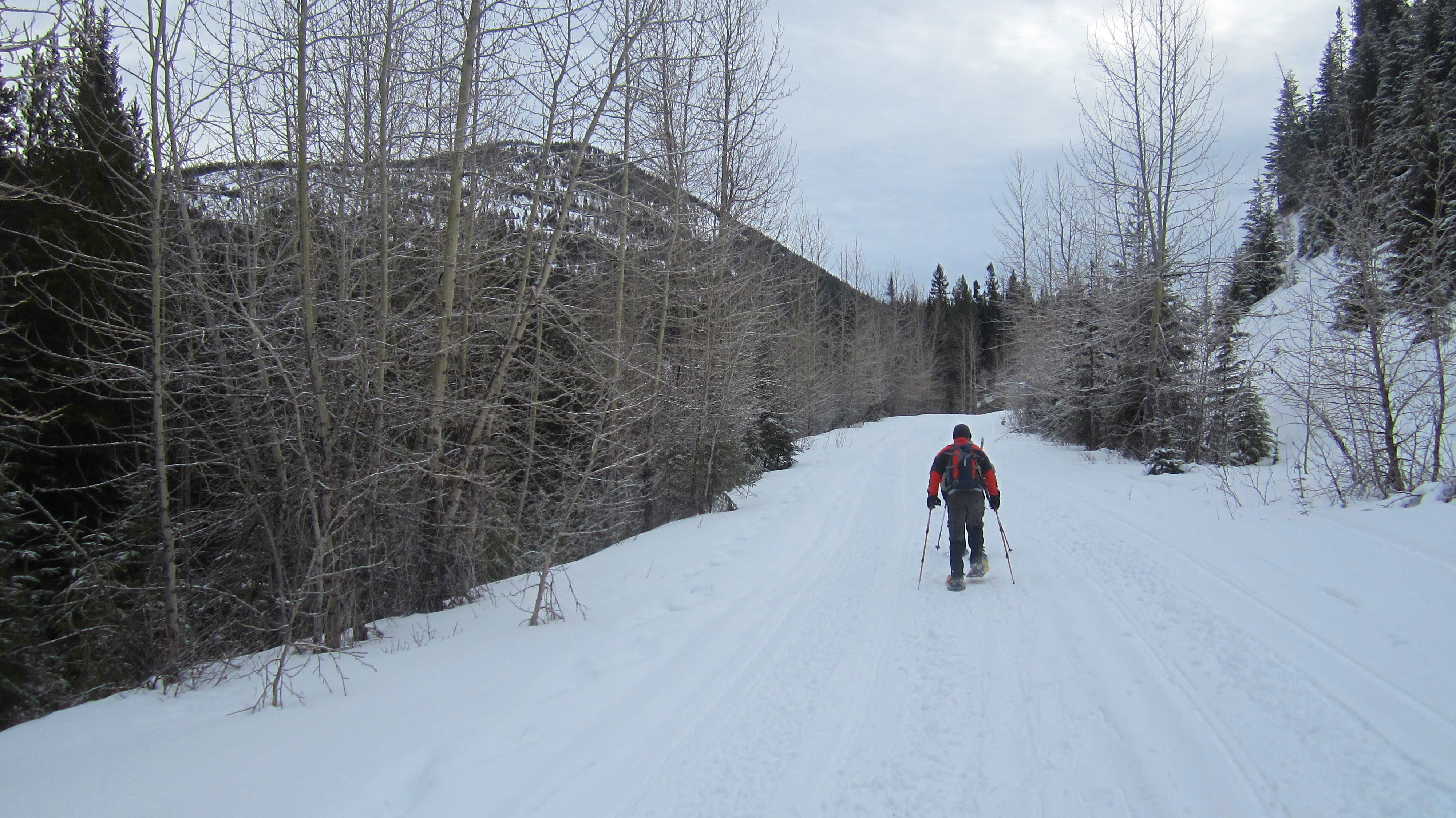
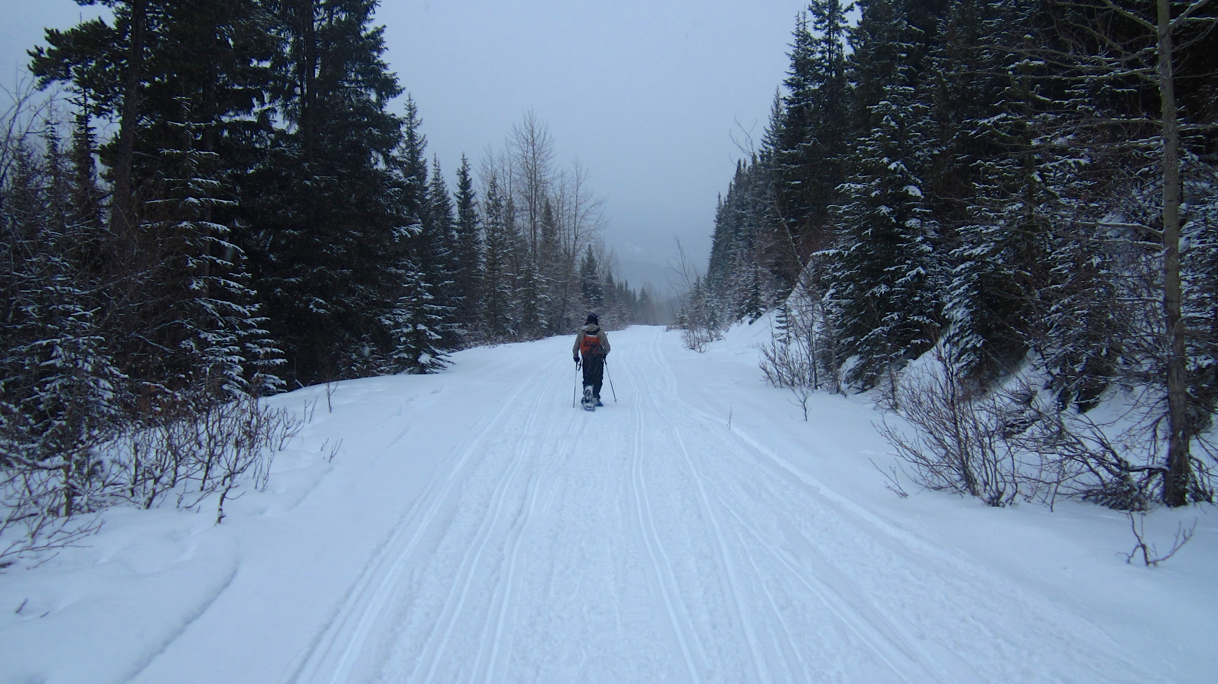
Snowmobiles had conveniently groomed a path for us all the way up to the abandoned mining site.

After snowshoeing for about 1.5km we got our first glimpse of the mountain.

The road’s northernmost switchbacks offered up some nice views.

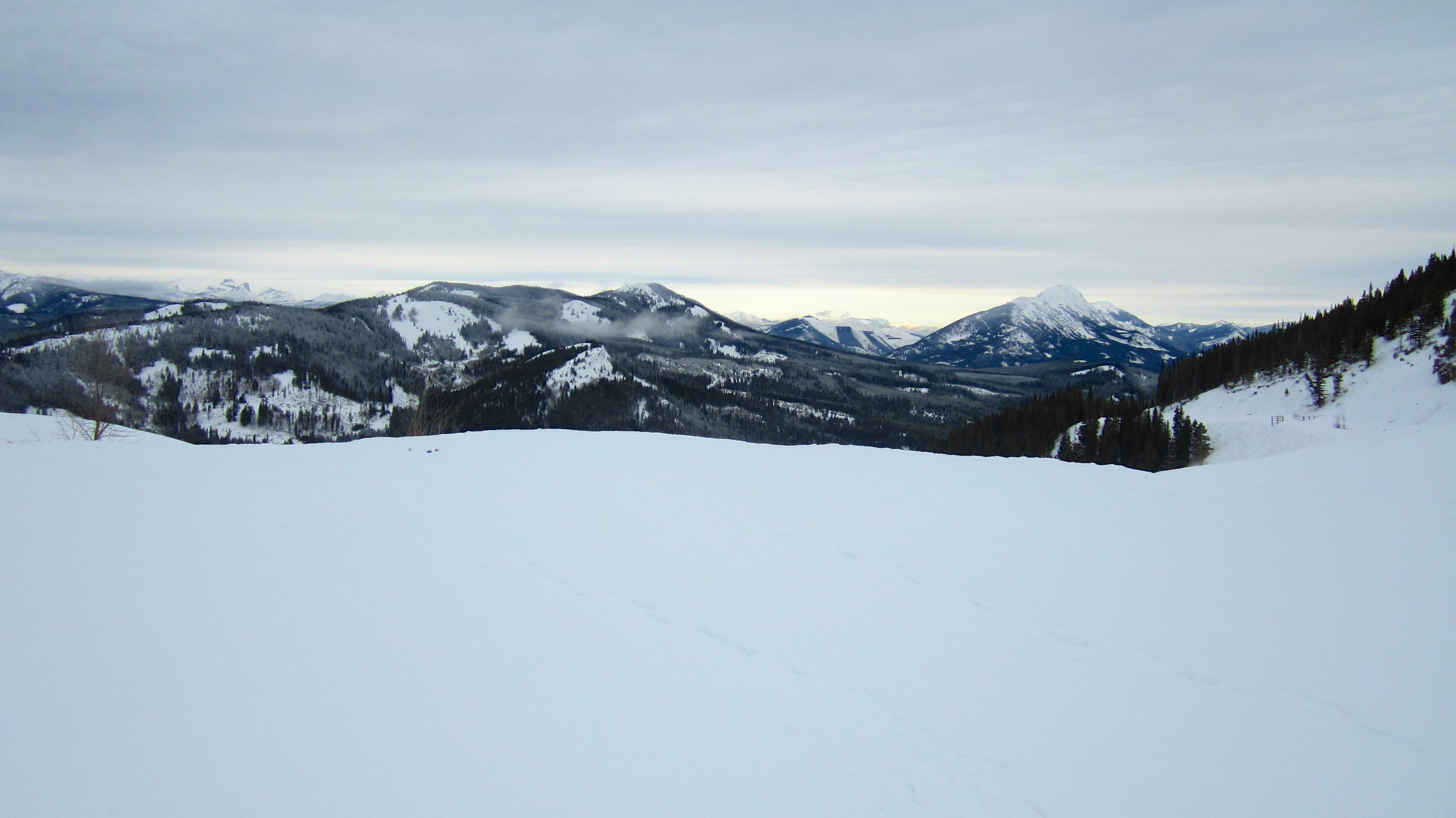
Even though it was a cloudy day, the view from the fourth and final switchback was impressive. Mount Erickson is on the left and Mount Tecumseh, the Seven Sisters, and Crowsnest Mountain are on the right.

After 4.5km and just under 1.5 hours of snowshoeing, we arrived at the abandoned pit mine.

Low clouds hang beneath the summit of Loop Ridge. To enter the site we had to pass through an old, broken gate. Many years ago, someone had crudely hand painted ‘No Trespassing’ on the posts, but since this was the route in the book and the most common way, we didn’t pay heed to it. Outside of this scrawling, there were no other signs – official or otherwise anywhere along the road or at the mine.
Another view back at Loop Ridge and Mount Erickson. Trail Hill is in the foreground.

A telephoto of Mount Tecumseh, Crowsnest Ridge, The Seven Sisters, Crowsnest Mountain, and Sentry Mountain from the lake (and I use that term loosely). According to Hiking The Historic Crowsnest Pass, there was supposed to be a repair shop, water tower, and various outbuildings near the lake. We didn’t see any of these which means that they have been removed since publication – probably because the mutated bear from the 1979 movie, Prophecy, crawled out of the chemical stew that is the lake and tore them down in a fit of rage.

Heading from the lake to the summit. The snowmobile tracks ended in the trees directly in front of Jeff and Brad. Here we encountered several people enjoying a bonfire. Now I have to say, I was not impressed that on our way back we had to pick up several empty beer cans and other pieces of garbage that these snowmobilers had wantonly tossed aside before leaving. They even left their fire burning. Not cool snowmobilers! Not cool at all!

Without snowmobile tracks to follow, the snow on the upper slopes of Tent Mountain became progressively deeper. The north summit is directly in front of Brad.

Before tackling the upper slopes we stopped for a quick lunch.

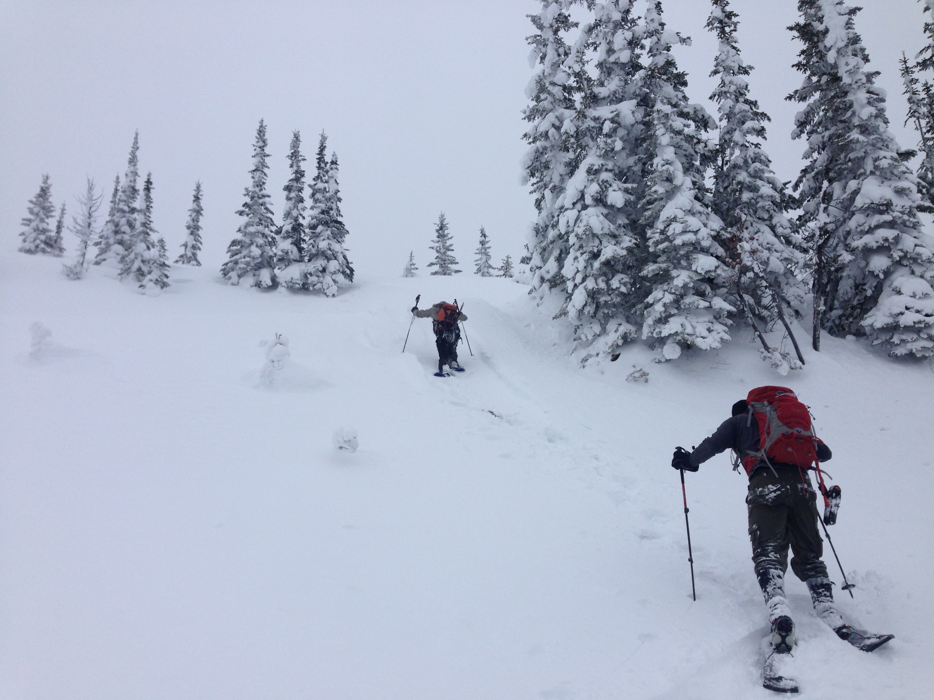
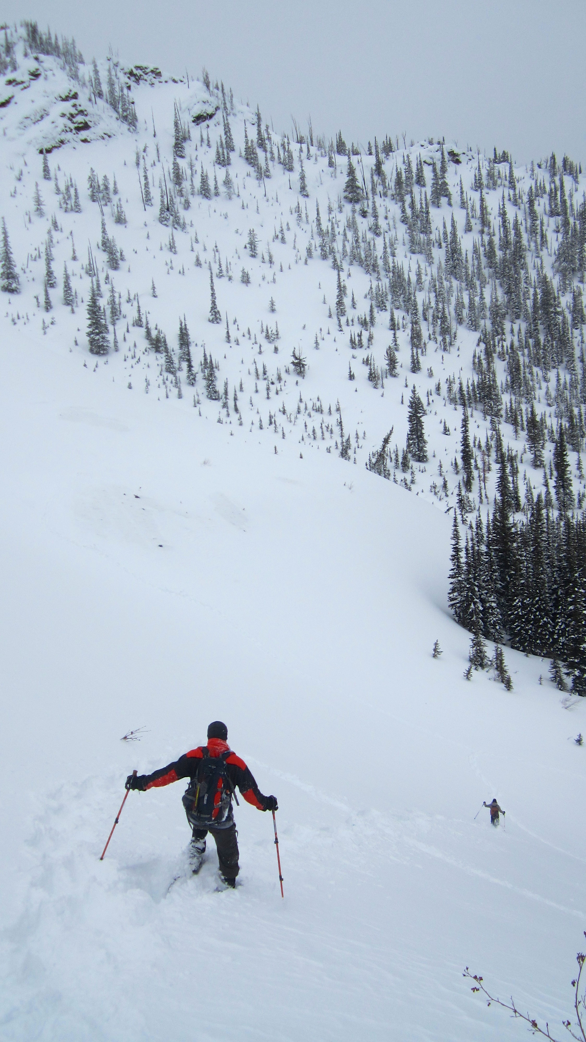
After lunch we left the road behind and after checking the snow conditions, started up the steep slopes on the southern end of the bowl. After looking at my choice for an ascent route, Brad and Jeff elected to try a different path. On our descent we would all use Brad and Jeff’s route.

A telephoto of Brad and Jeff as they ascend to the ridge above the bowl.

Brad gained the ridge just before I did. Those northsiders are tough! 😉
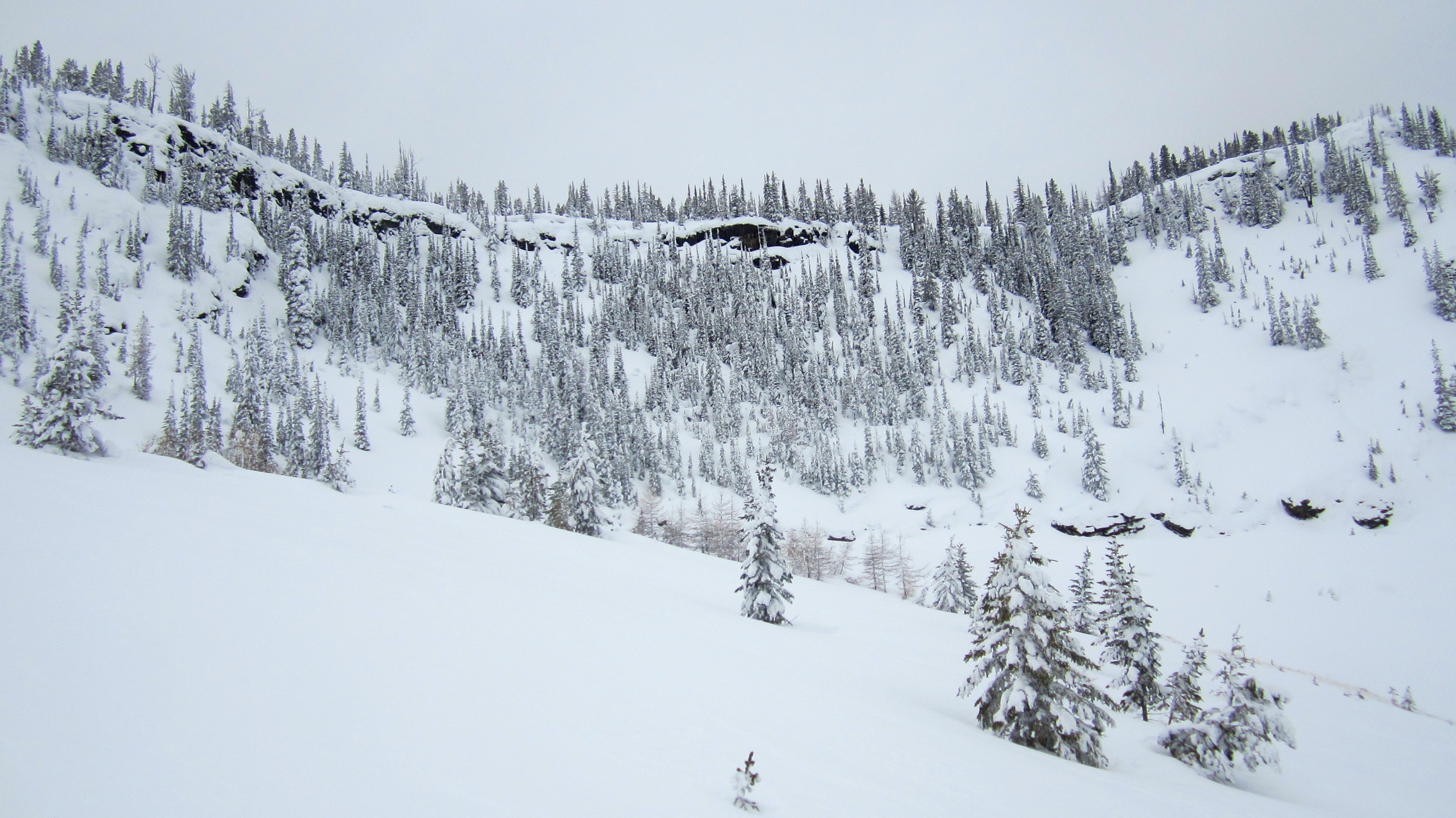
Despite being an abandoned pit mine, the winter beauty of the upper bowl was amazing. The lower north summit is on the right.

Another view of the upper bowl and the summit ridge. We would continue further to the south before attempting to reach the ridge.

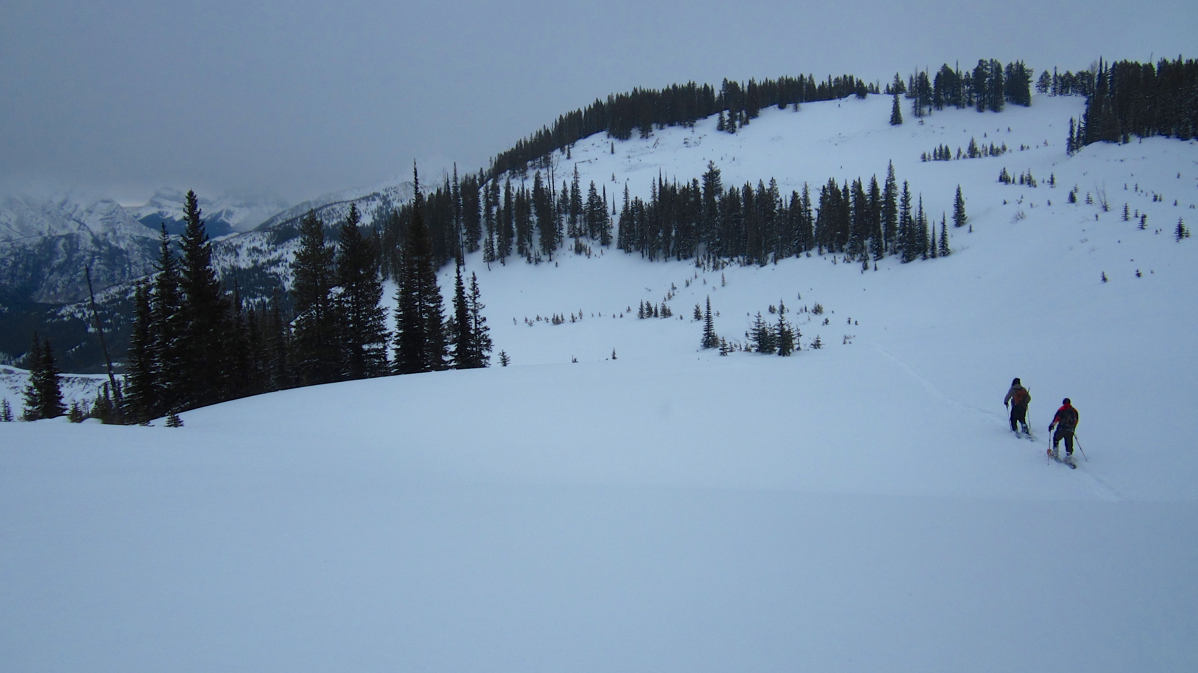
The views to the north from the upper slopes of Tent Mountain are well worth the effort.

Brad breaks trail (while I break wind) as we head towards the summit. On the left is Mount Ptolemy.

Looking back to the north and into the pit mine as Jeff brings up the rear. This is why I thought Tent Mountain might be a better snowshoe than a summer hike, as the snow covers up some of the unsightly scarring.

Even though it was cloudy, the temperature hovered just below freezing and there wasn’t a hint of wind.
Brad and I head towards the summit ridge. (Photo by Jeff Lang)

Lots of kick stepping.

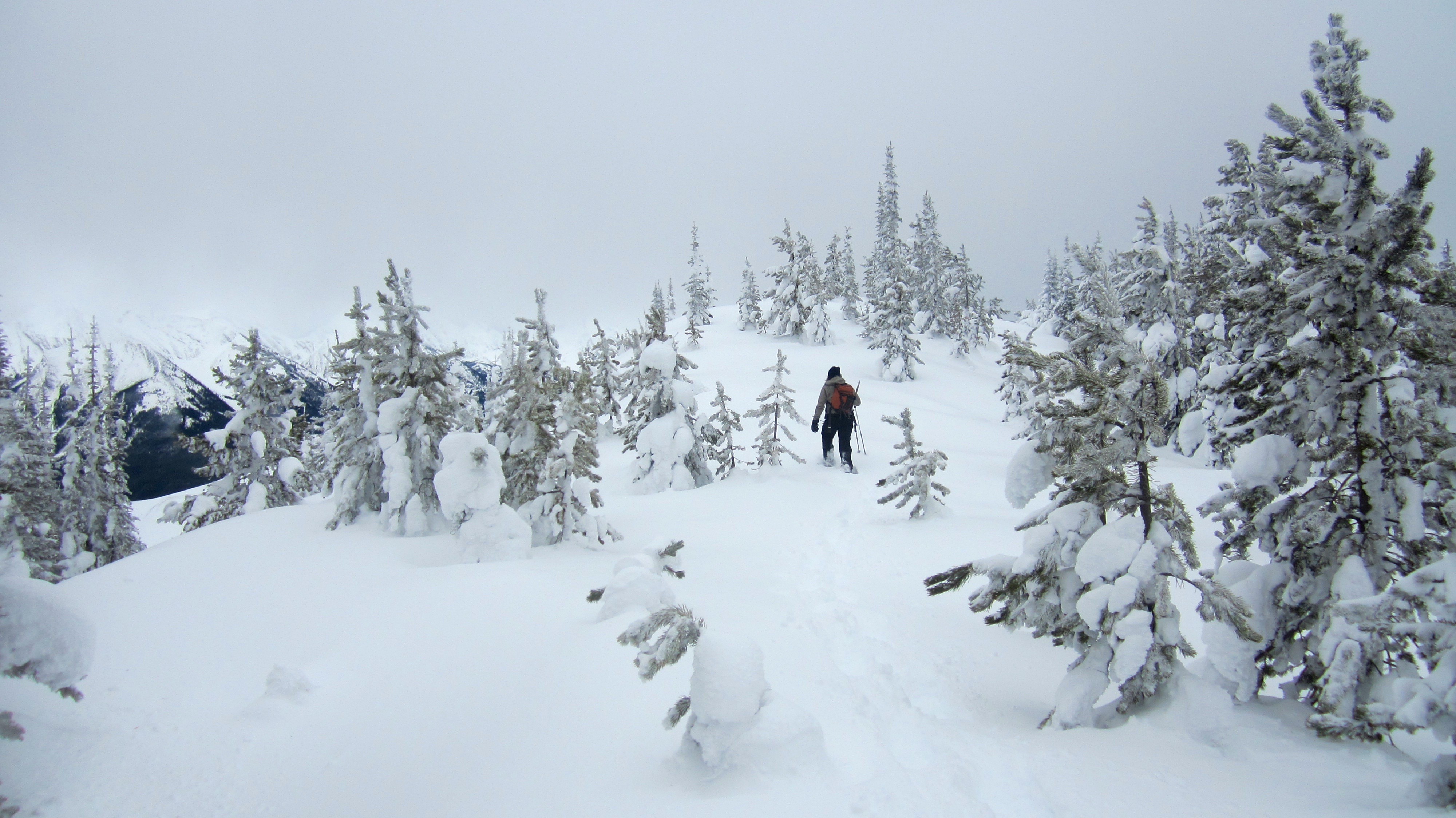
Deep snow made negotiating the final 50 metres or so a difficult task. Note to self: Brad walks on snow just like Legolas from Lord of The Rings, so getting him to break trail through powder is rather useless for the rest of us mortals.

I struggled to climb in the deep snow, often sinking up to my waist. I’m sure this was quite amusing for Brad and Jeff who were much more nimble than I. It was however, a good test for my still injured body. (Photo by Jeff Lang)

Jeff makes his way up the final few metres.

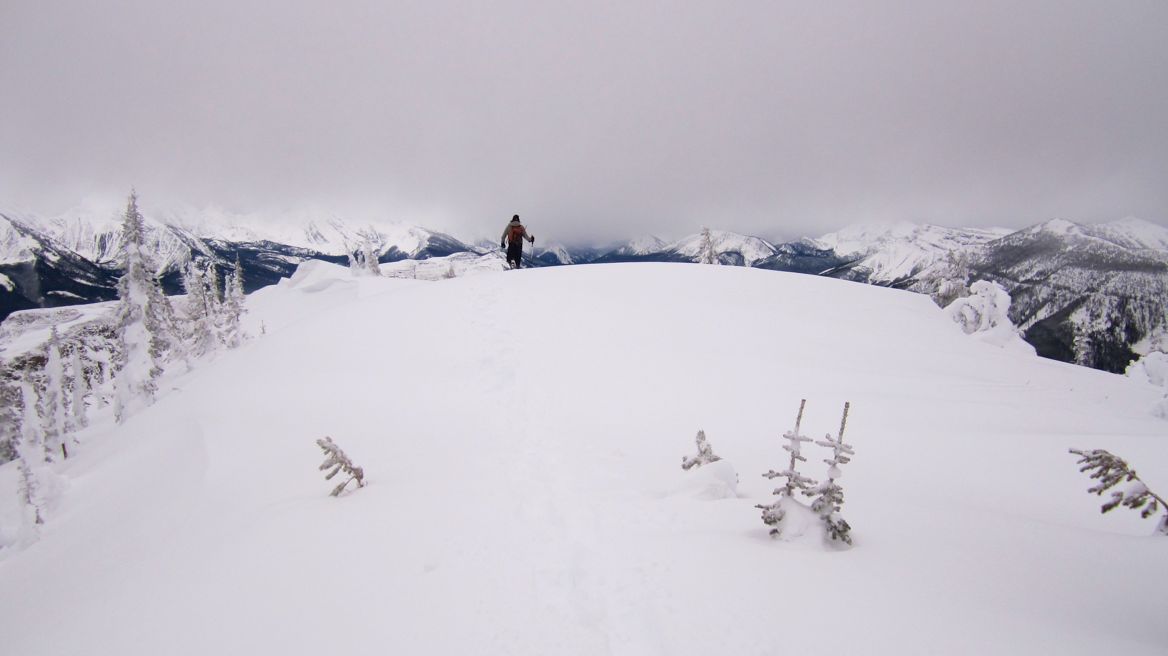
Finally on the summit ridge. Tent Mountain has both a north and a south summit (the two ends of the tent), but the since the south summit is the highest, it has been designated as the official summit.

From here it was only a ~250m walk to reach the summit (right).
The short ridge walk to summit was beautiful.

Jeff makes his way through a winter wonderland.
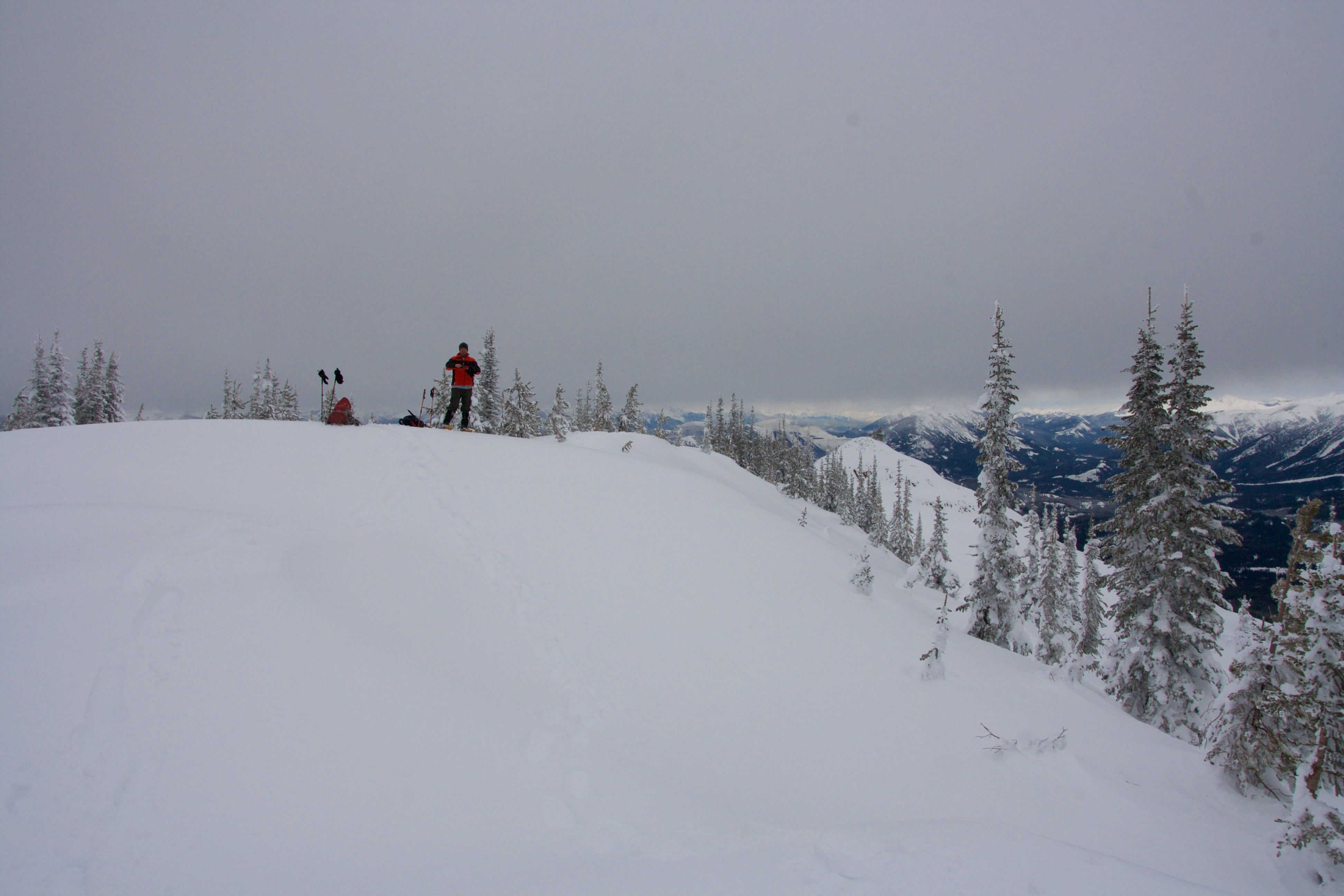
Brad arrives on the summit of Tent Mountain (2204m).

Mount Darrah is barely discernable to the left of Brad.
Not long after we reached the summit, the sky began to darken with approaching flurries.

Brad celebrates our successful ascent with a nip of elven rum.
A telephoto to the north of “Alexander Creek Mountain”, Phillipps Peak, Mount Tecumseh, Island Ridge, Crowsnest Ridge, The Seven Sisters, and Crowsnest Mountain.

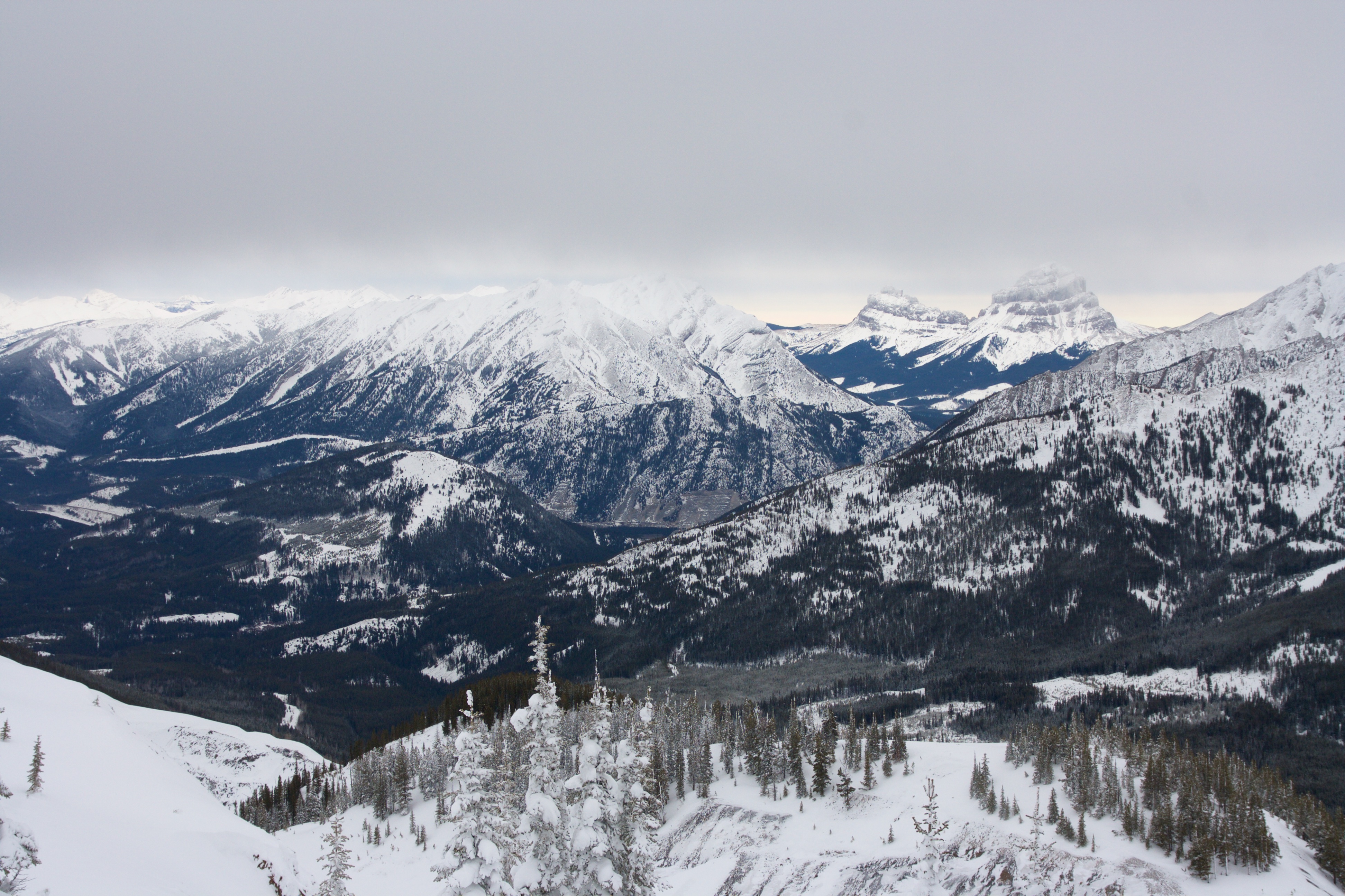
A panorama to the east highlights the northern end of the Flathead Range. The 3 different peaks on the Northwest Ridge of Ptolemy along with Mount Ptolemy can be seen across the valley. On a bluebird this would be an amazing view.

A pano to the north.

A pano to the south shows the mining operation at Corbin on the left with Michel Head in the centre and Mount Taylor on the right.

A telephoto of the active mining operation on Coal Mountain at Corbin, B.C..

The summit offered a fine view of Mount Taylor.

Michel Head (left) and the high point of Michel Ridge (left).

The south end of Tent Mountain was also mined.

The winter scenery on the summit was beautiful.

Jeff and Brad on the summit of Tent Mountain.

Tent Mountain seemed like an apt location to unleash ‘Blue Steel’.

Rapidly approaching flurries signalled that it was time to make a hasty retreat off of the mountain, so we abandoned any plans to snowshoe over to the north summit which was over 700m away.
Legolas runs through some nice powder beneath the summit.

Jeff makes his way back to the upper bowl. The north summit is in the centre.

Our descent from the summit to the lake took less than 30 minutes.
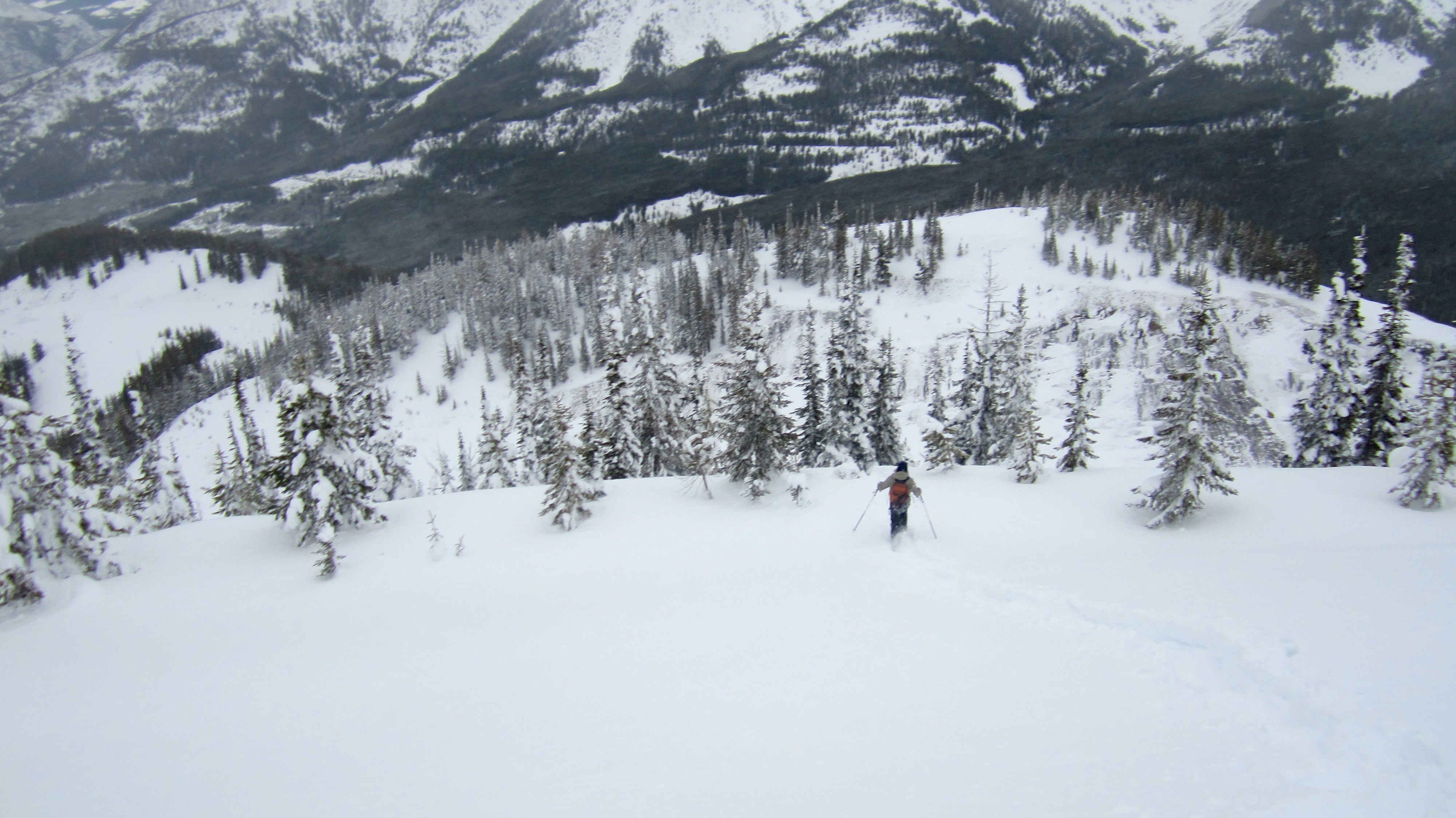
Jeff and Brad run down the south end of the bowl.

Unfortunately, Jeff’s snowshoes have crampons along the outer edges that can become quite grippy 😉

As do mine… I should’ve known better than to try and keep up with Rivendale’s finest 😉 I’m not sure whose wipeout was better – mine or Jeff’s?
The sky grew dark and the snowfall increased as we left the mine site.
Travel down the road was quick enough that we once again decided against trying to bushwhack a shortcut.

After 15.6km and 5 hours and 15 minutes we arrived back at my 4runner under increasingly heavy snowfall. While the snowshoe up Tent Mountain was a long one, it was also highly enjoyable. I really believe that the winter scenery added to what otherwise might have been a less impressive summer hike through an abandoned pit mine. Aside from snowshoeing, Tent Mountain might also make a great place to ski tour or split board.


Leave a Reply