

⚠️ Hiking and scrambling are inherently dangerous activities. Please read my Disclaimer. ⚠️
I didn’t stay very long on the summit of Scenic Point – picture the Griswald’s visiting the Grand Canyon – before turning my focus to Medicine Peak. Knowing that my time was limited, I set off at a brisk pace and soon arrived at its col with a minor high point on the ridge above Appistoki Creek. To expedite my ascent, I decided to head straight up Medicine’s northwest slope and through a series of easy-to-navigate bands of argillite. I arrived on the summit only 55 minutes after leaving Scenic Point. This meant that I could now add in an extra peak or perhaps two. My choices were to head to the much lower Bison Mountain and The Head, or continue along the ridge and bag the highest peak on the massif, Mount Henry. For obvious reasons, I chose the latter.

To get to Scenic Point from Lethbridge, drive south on Highway 5 to Cardston, then take Highway 2 to the Piegan-Carway Border Crossing. Once across, continue on Highway 89 for ~65 km until you come to the turnoff for MT 49 and East Glacier. Follow MT 49 for ~12 km until you come to the junction with Two Medicine Road. Turn onto it and follow it to the Glacier Park entrance gate. From the gate, drive ~4.3 km to the Scenic Point parking lot (left side of the road) and park here. The trailhead begins near the entrance.
The trail was easy to follow as it wound its way for ~6.4 km (653 m elevation gain) to the summit of Scenic Point. To get to Medicine Peak, I doubled back along the trail for a few hundred metres before leaving it and hiking cross country for ~1.3 km to its col with a minor high point above Appistoki Creek. To save time, I headed straight up Medicine Peak’s northwest slope and through several easy bands of red argillite. Mount Henry sits only ~1.5 km away from the summit of Medicine Peak, but depending on your route to the summit, it could add more distance. As I chose the easiest route via a broad gully, I also committed myself to an additional ~1.26 km in distance (one way) with a ~108 m elevation loss then a ~156 m elevation gain to the summit. I should have used the first gully that I came to, but was so pressed for time, that I did not want to try it and then discover that it wasn’t viable – though in hindsight, this is the one Edwards mentions. Oh well!
From Mount Henry, I followed my same route back to Medicine Peak and descended to its col above Appistoki Creek. I then skirted the west side of the minor high point before dropping down a gully to the big hairpin on the lower section the Scenic Point trail. From here it was a quick walk back to my 4Runner.

My total distance travelled was 21.5 km with total elevation gains of 1533 m. My total roundtrip time was 7 hours and 9 minutes.

After leaving the summit of Scenic Point, I doubled back along the trail for a couple hundred metres before leaving it to head to the col between Medicine Peak (centre left) and the minor high point that is in the foreground to the right.

After leaving the trail, it was an easy ~1.3 km hike to reach the col.

Looking across to Mount Henry (left) and Appistoki Peak (right) from the col.

To save time, I went straight up and through the argillite bands on Medicine’s northwest slope.

Looking northwest from the col at Rising Wolf Mountain (centre) and Red Mountain (right). Angular Flinsch Peak is on the far left. On return, I would traverse the west slope of the minor high point on the right and drop down a gully to reach the hairpin curve (lower centre) on the trail.

Navigating through the bands was easy and provided a bit more excitement to what otherwise would have been just a steep hike.

Red argillite combined with yellow and orange lichen – always a good recipe for colour!

The grade became easier as I neared the top. I came across a few large cairns in this section, but I’m not sure what they were for.

Looking back to the summit of Scenic Point (right).

Closing in on the summit.

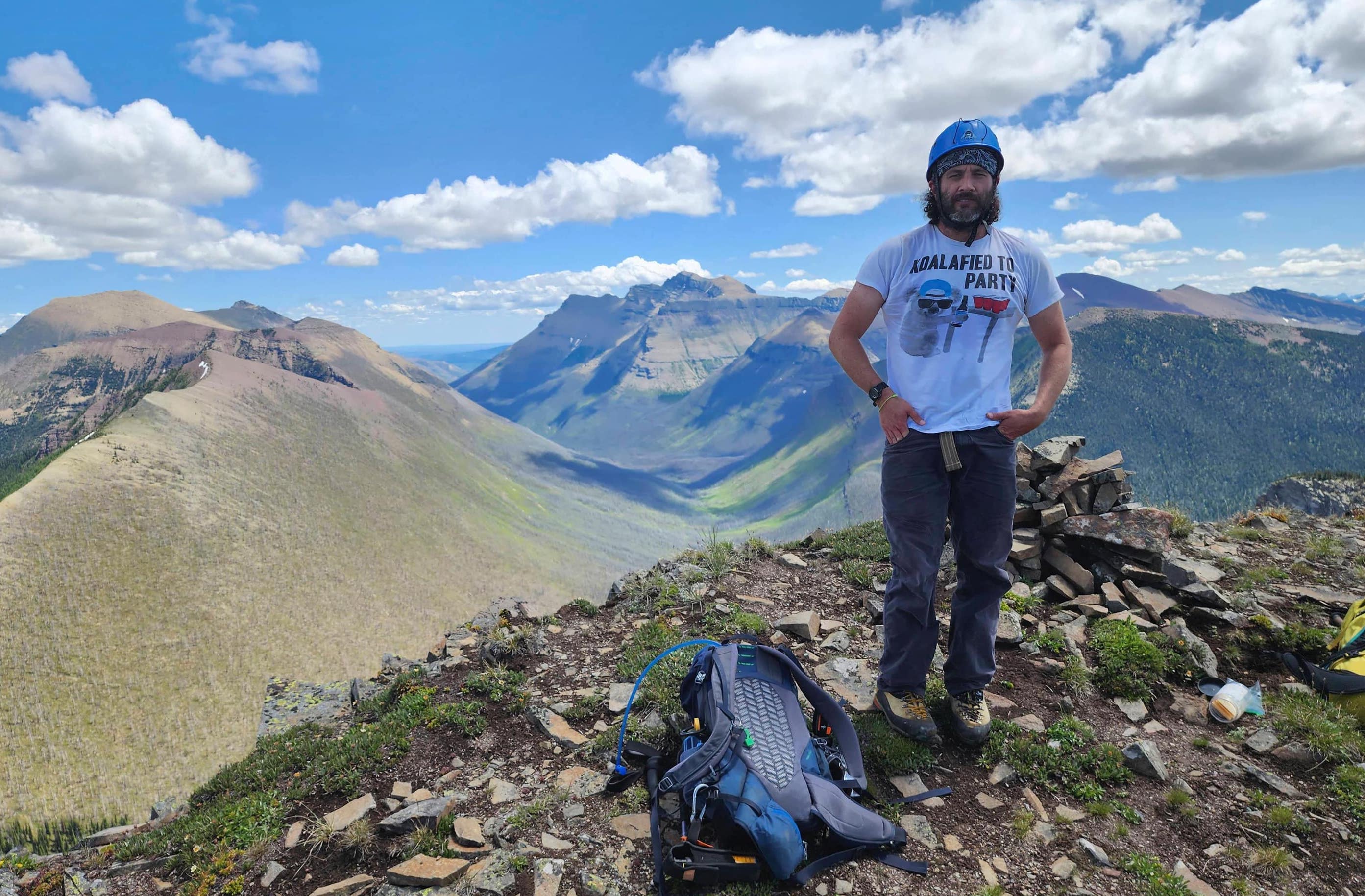
The summit of Medicine Peak (2597 m).

The survey pin that sits near the summit cairn.

The view north with Red Mountain on the left, Mad Wolf Mountain in the centre, and Scenic Point on the far right.

The view east and the much smaller, Bison Mountain (centre).

Gazing south at Dancing Lady Mountain (right)

Looking southwest at Calf Robe Mountain (left), Summit Mountain (centre), Little Dog Mountain (centre) and Bearhead Mountain (right of centre).

The view west at my next destination, Mount Henry (centre) and in the distance, Mount Rockwell (right).

Finally, the view to the northwest with Appistoki Peak in the foreground and Rising Wolf Mountain in the centre. A haze of what looked to be smoke had moved in from the west and obscured what would have been a great view. It was also at this point that I decided to forego Bison Mountain and The Head in favour of attempting the highest peak on the massif, Mount Henry.


Leave a Reply