

 Hiking and scrambling are inherently dangerous activities. Please read my Disclaimer.
Merry Christmas and Happy New Year! With our new house now feeling more like home, Melanie and I were glad to host family and friends over the holidays. It was also nice to have time to relax and get back into regular routines, such as going to the mountains. 🙂
Working with a forecast that called for warm temperatures accompanied by strong chinook winds, Andy and I decided on route, to head to the front range of Tatsiki-Miistáki (Castle); our default area when it comes to iffy winter weather. After running through several possible options, we eventually settled on trying a new route up some old friends on the northeast end of Loaf Mountain: namely “The Croissant” and “The Muffin”. We’d ascended these minor peaks multiple times between us, because they are reliable standbys when the wind is howling and daylight is limited.
Our hastily concocted plan was to walk along the gas road until we had passed both “The Croissant” and “The Muffin”. We’d then ascend up a ridge towards the large cliffs that mark the start of the shoulder that connects to “Bakery Peak”. If the wind and snow allowed, we’d scramble our way to the top of the cliffs and the start of the shoulder – a landmark that I’ve nicknamed, “Butter Tart”, solely for winter hiking purposes. If possible, we’d consider “Bakery Peak” itself, but if the conditions weren’t ideal, we traverse over to “The Croissant” at the base of the cliffs.
Well, to make a short story longer, we ended up making it onto “Butter Tart”, but the insane wind made any thought of continuing on towards “Bakery” an unwise endeavour. We did enjoy some fun and sheltered scrambling, but the wind still tried to murder us whenever it could. Not only did it knock each of us down at various points in the day, it also ripped my small ice axe off my pack as we approached the base of the cliffs; casting it a good 3 metres from where I was trying to walk. Thankfully, after some backtracking and some searching, Andy was able to recover it. Our time on “the Croissant” and “the Muffin” was even breezier, but at least the wind was at our backs as we made our way along the ridge.
All in all, this was a fun loop to end the year with and here’s to a healthy and prosperous 2026 for all my family and friends. 🙂
Be sure to read Andy’s excellent report!
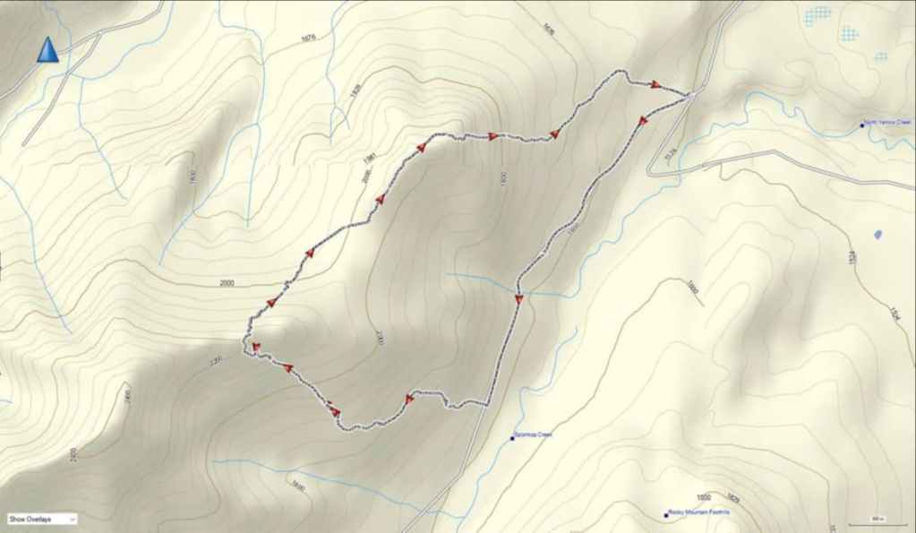
To get to our route, we drove north along Highway 6 from Waterton National Park until we came to the turnoff for Spread Eagle Road (Township Road 34). Here, we turned left and onto Spread Eagle Road. We then drove for ~8.2 km until we came to a T-intersection with Range Road 303. We then turned right and followed Range Road 303 for ~4.4 km until shortly after crossing Spionkop Creek, we came to an intersection with a gated gas road on our left. We turned left and towards the gate before parking off the side of the road, This was our starting point.
After gearing up, we hiked along the gas road for ~2.1 km until we were on the left bank of a large drainage. This is where we left the road to gain the small ridge. A short stint through the trees while following the ridge as it curved to the southwest, brought us onto open slopes as the ridge curved back toward “Butter Tart” – the large cliff band that marks the start of the shoulder leading to “Bakery Peak”.
A fun and mostly sheltered scramble brought us onto “Butter Tart”. For reference, we covered ~2.8 km (670 m elevation gain) over 2 hours and 55 minutes from where we left the road to the top of “Butter Tart”. From here, we followed the ridge to the northeast as it descended to the col with “The Croissant” followed by a short hike to the summit. In total, it was a distance of ~1.1 km (236 m elevation loss / 121 m elevation gain).
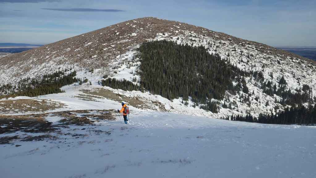
From the summit of “The Croissant” to the summit of “The Muffin” it was a quick ~650 m hike (109 m elevation loss / 65 m elevation gain). We then descended “The Muffin” using a snow gully on its east side followed by the path of least resistance back to my truck. This involved following open meadows until we came to a cutline and some power lines. From the power line on the ridge, we descended into a small grove of aspens that we cut through; emerging onto a meadow near the gate where we had parked. In total, it was ~1.7 km from the summit back to my truck.

Our total roundtrip distance was 9 km with total elevation gains of 1533 m. Our total roundtrip time was 5 hours and 45 minutes.
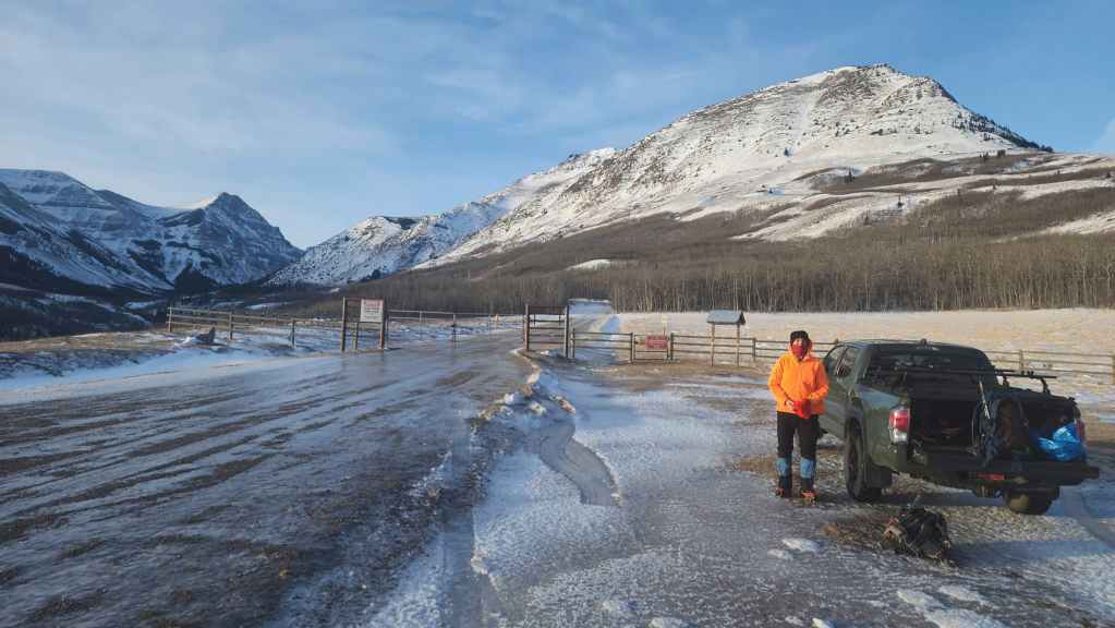
Gearing up at the icy access gate with “The Muffin” in the background on the right. Pro tip for southern Alberta: always park your vehicle facing into the wind. The body shops in Lethbridge do a remarkable business repairing doors that have been caught by the wind.

Walking – and driving – on the icy roads proved to be one of our trickier feats for the day.
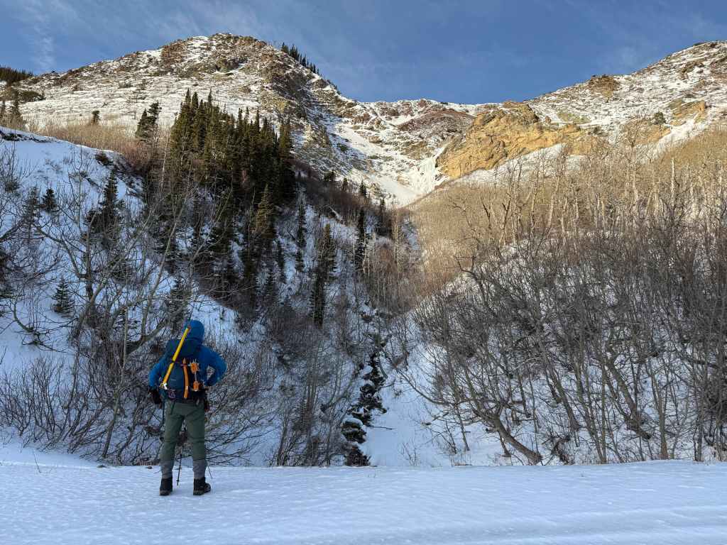
I stop to look at a frozen waterfall on the side of “The Muffin”. Brad reminded me that this waterfall is an documented ice climb known as, “Opaque Genius”. (Photo by Andrew Nugara)
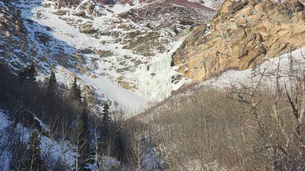
A closer look at “Opaque Genius”. To see what it looks like in the spring, see my “Bakery Peak” report from May 2019.
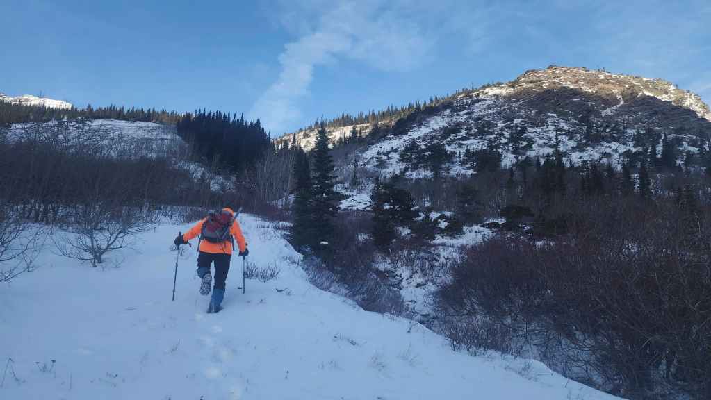
Approximately 2.1 km from the gate, we left the road to start up the left bank of a drainage. Our goal was to gain the small ridge on the left.

Looking back after gaining a bit of elevation.
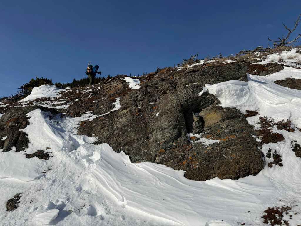
Passing over a small rock band. (Photo by Andrew Nugara)
Arriving on the ridge. (Photo by Andrew Nugara)
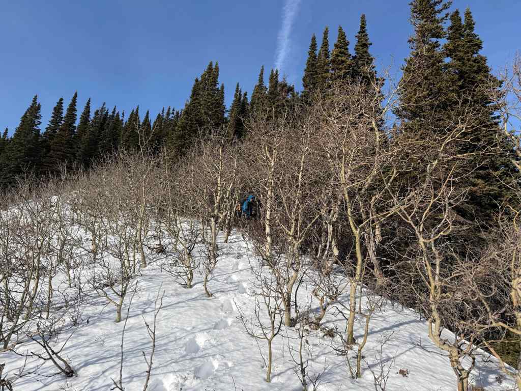
A short stint through the trees…
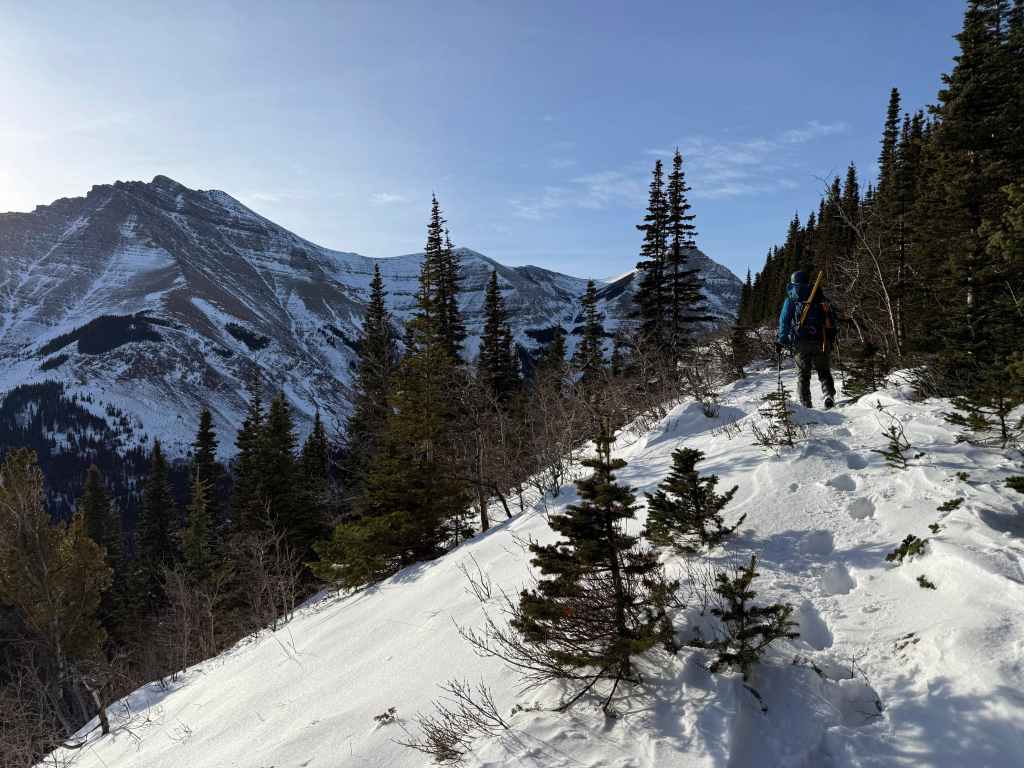
Led us back onto the ridge – at least temporarily. (Photo by Andrew Nugara)
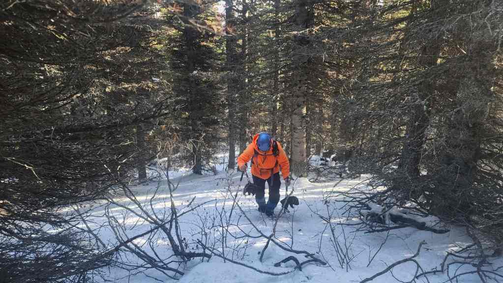
Another short hike though the trees. (Photo by Andrew Nugara)
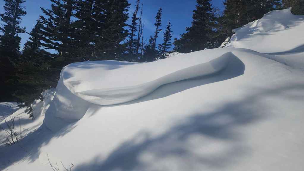
A cool snow drift.

Another view of the drift that shows how deep it was.
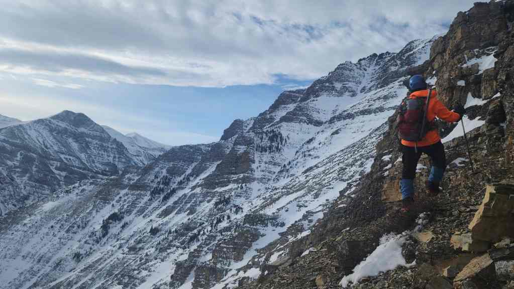
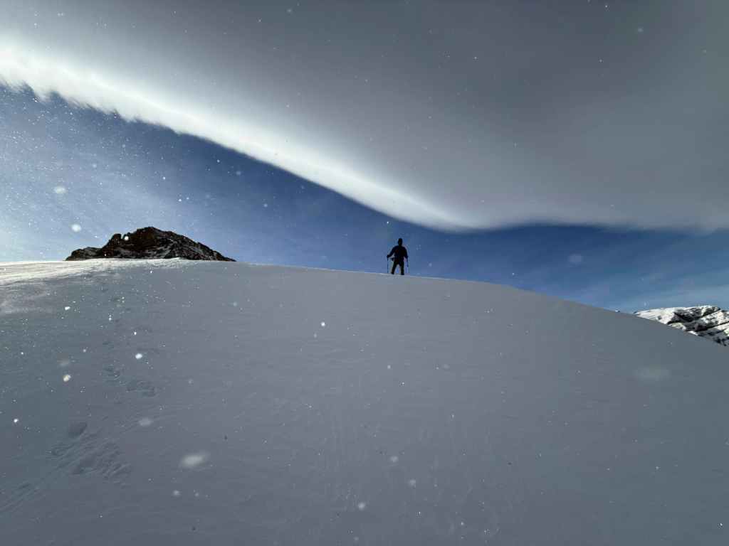
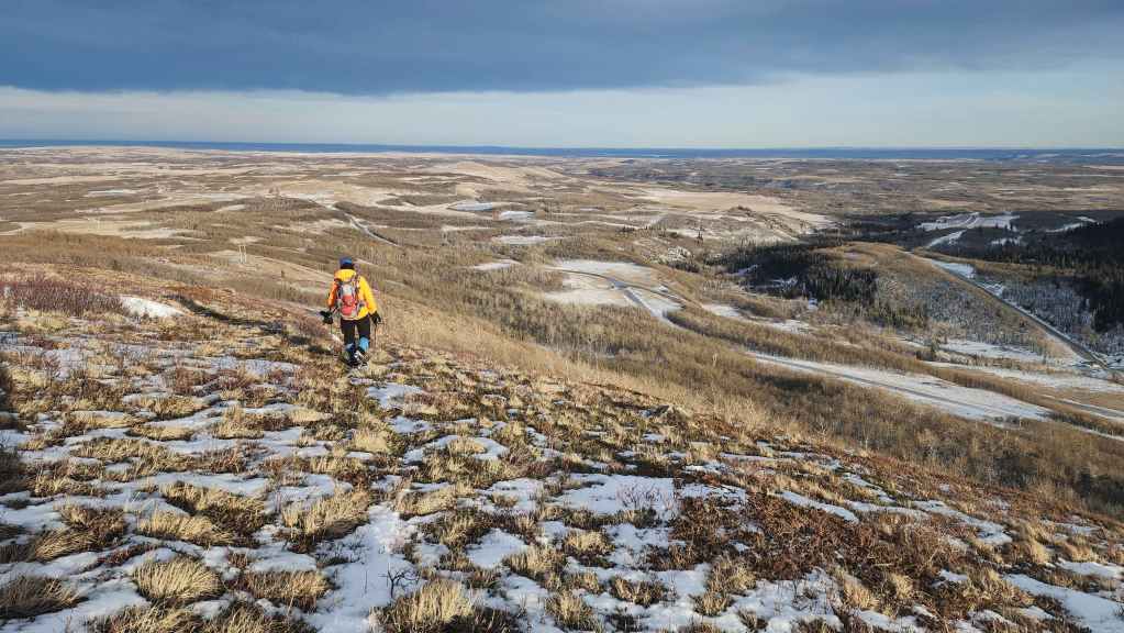
Now on open slopes – only to be blasted – and I mean blasted – by the wind. (Photo by Andrew Nugara)

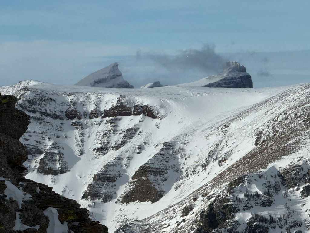
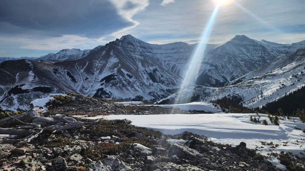
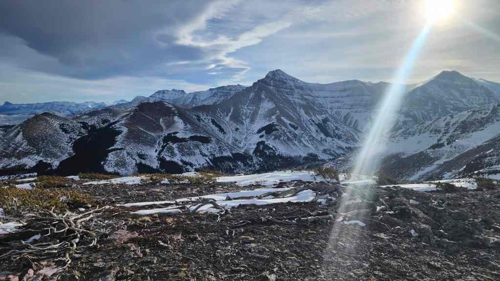
Our first look at “Bakery Peak”.
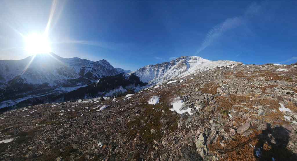
A wider view from the same vantage.

Looking over at “The Croissant”.

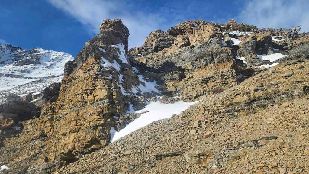
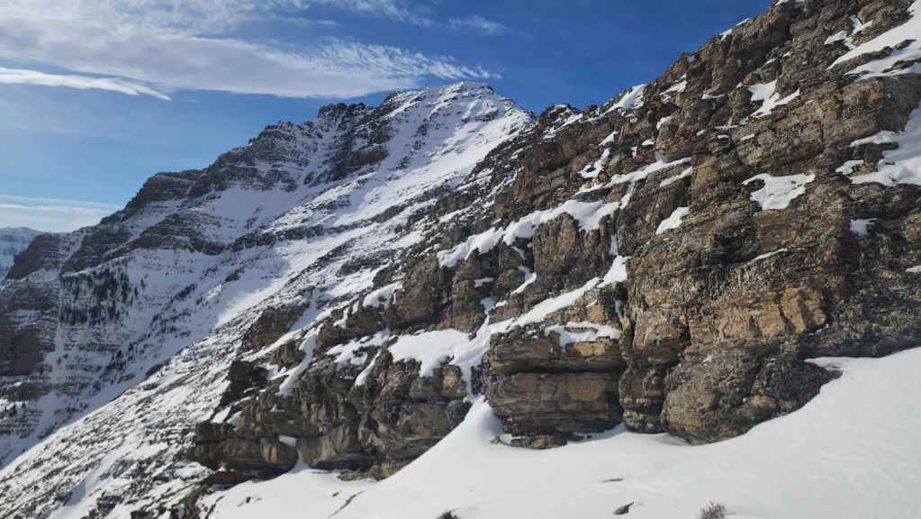
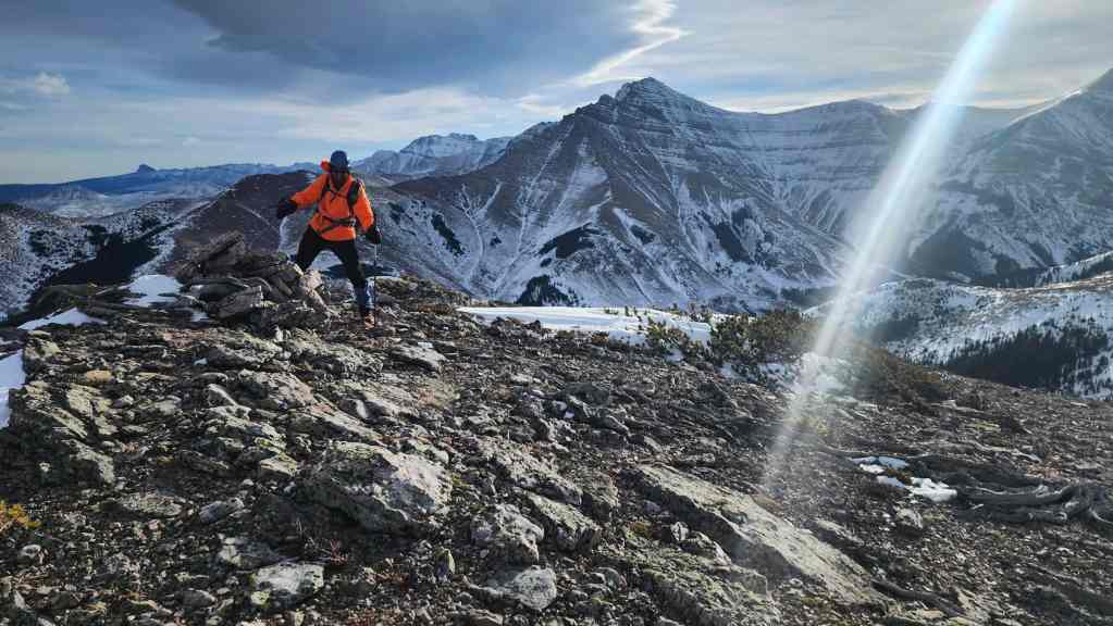
I take shelter behind an outcrop (middle right) as we get our first look at “Butter Tart” which represents the start of the shoulder that leads to the summit of “Bakery Peak”. As always, these are just nicknames for features that we tackle in the winter or shoulder season when getting up larger peaks is more difficult. There is no need to panic. These merely represent my own delusional nomenclature. 😂 (Photo by Andrew Nugara)
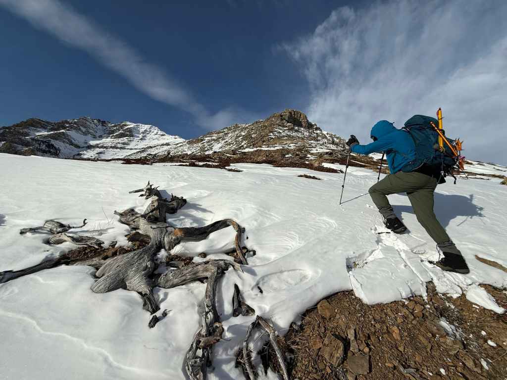
I lean into the wind as I leave the shelter of the rocks. Not long after this photo, the wind will yeet my orange ice axe off my pack and send it sailing for ~3 m. Thankfully, Andy was able to find it for me. (Photo by Andrew Nugara)
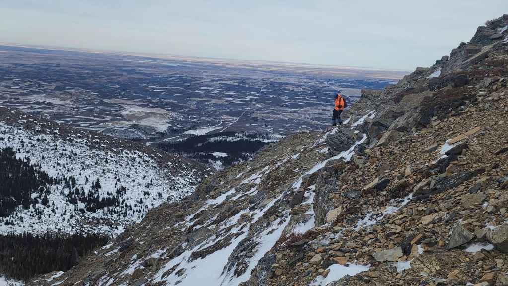
Andy is staggered by the wind as we head towards “Butter Tart”.

Looking back at Andy with Drywood Mountain behind him.
Getting closer…
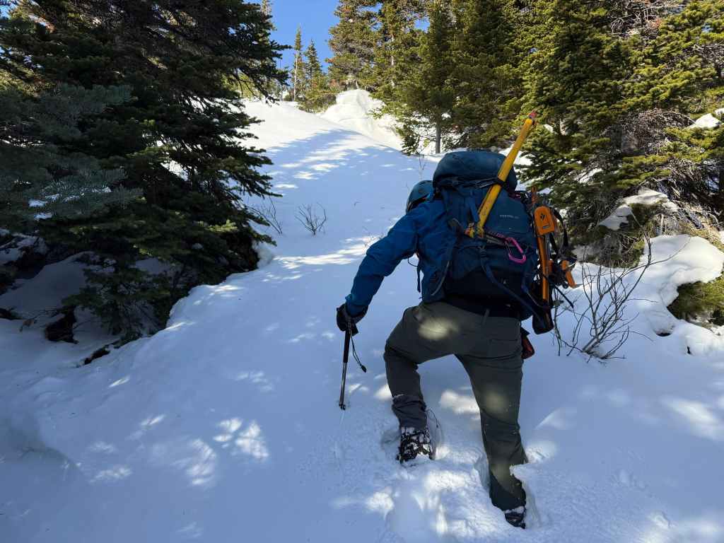
Starting up from the base of the cliffs.

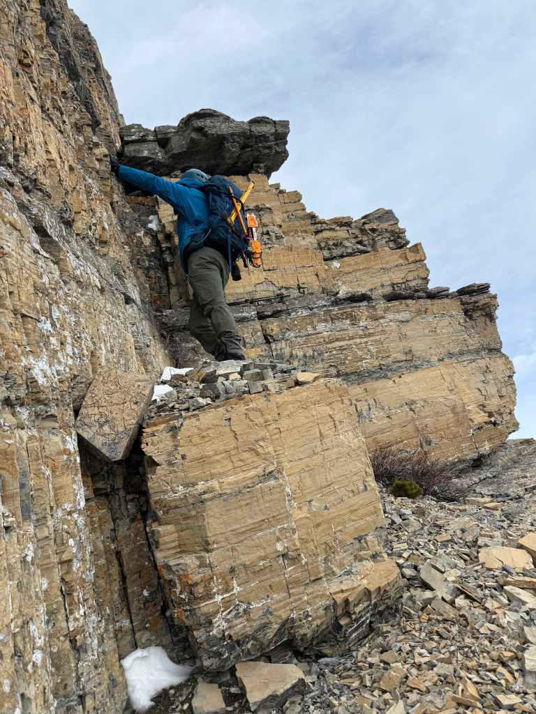
Thankfully the scrambling would be largely sheltered. (Photo by Andrew Nugara)
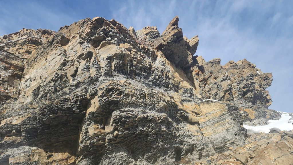
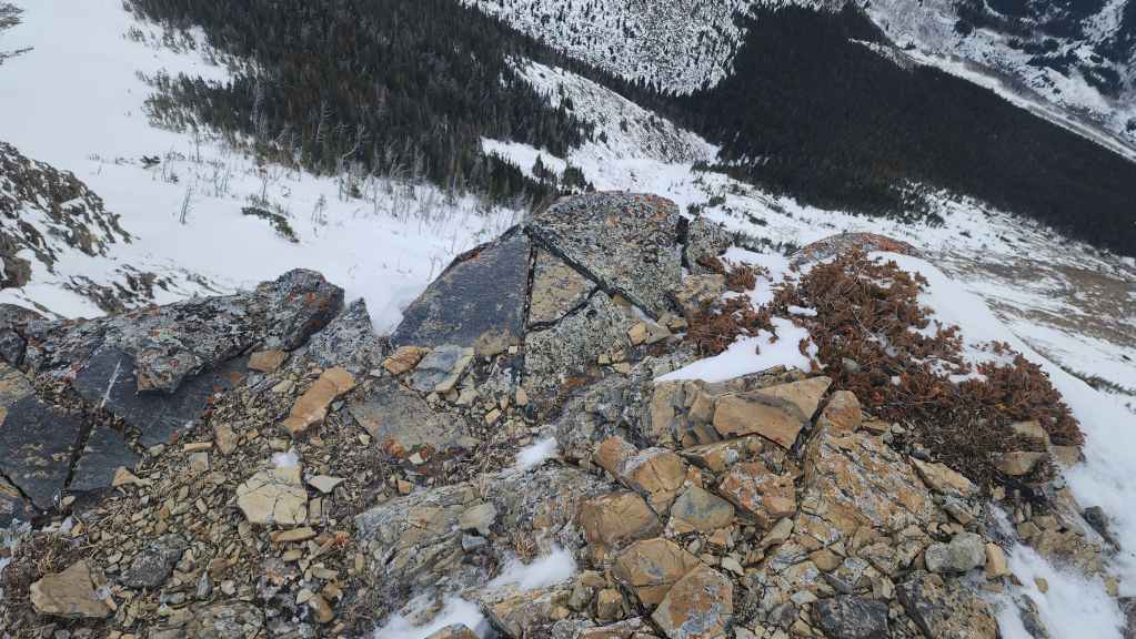
There was no shortage of cool rock to look at…
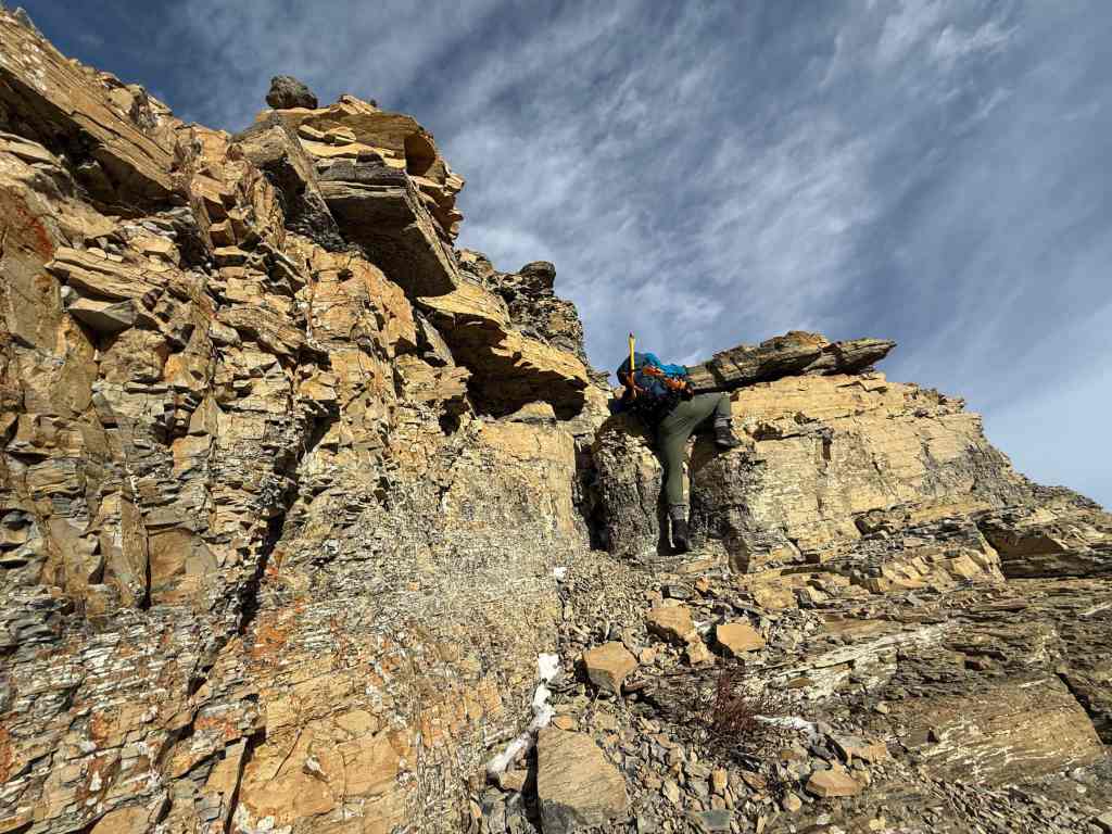
And climb! (Photo by Andrew Nugara)

I look back as Andy makes his way up. (Photo by Andrew Nugara)

Andy joins me on the top of a small shelf.

More…
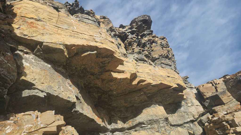
And more interesting rock.
Time for my morning stretches. 😂 (Photo by Andrew Nugara)
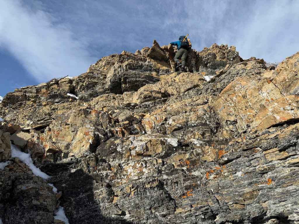
Andy prepares to climb onto the next shelf.
Now on the shelf, he eyes up the next obstacle…

And up he goes!
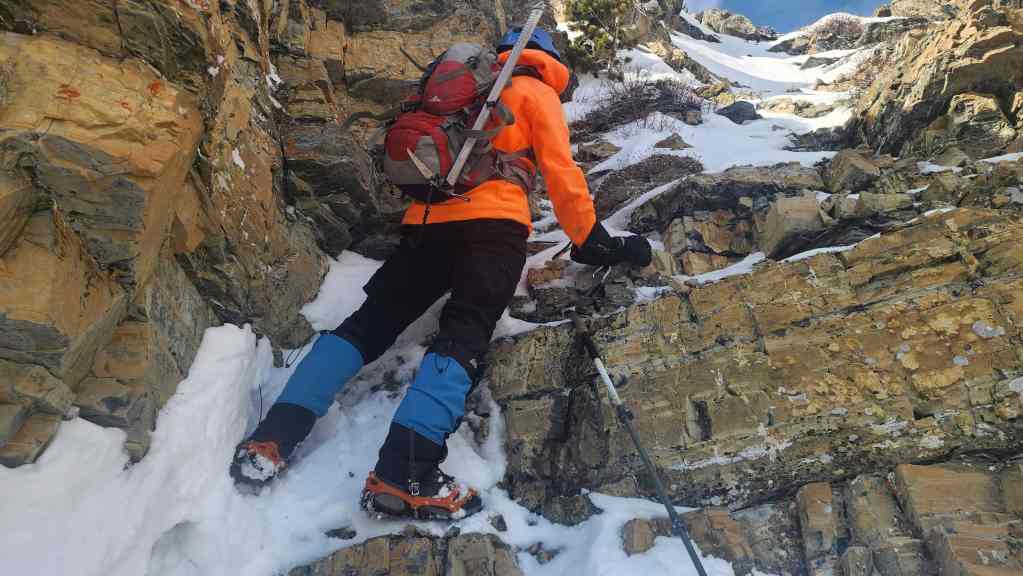
Andy leads up a small gully.

Now on the next obstacle.
Andy’s view of the block of rock from the previous photo. (Photo by Andrew Nugara)
Searching for a way up.

Andy’s view back from the previous photo. (Photo by Andrew Nugara)
I attempt to find a way onto the next shelf. (Photo by Andrew Nugara)

After making some progress, we soon found ourselves stymied by steep rock.

I almost found a way… (Photo by Andrew Nugara)
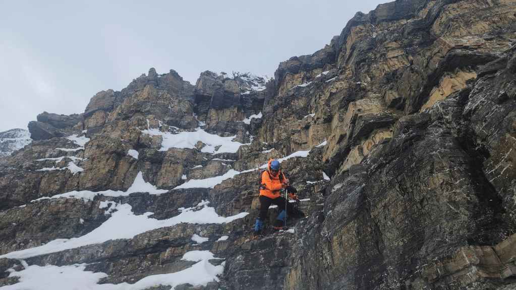
But it was a no-go, so we had to down-climb and search for a new route.

Losing elevation as we search for a weakness.

We finally found a way onto the shelf and past the rock wall.

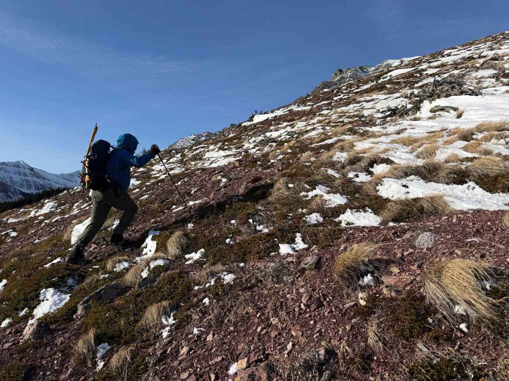
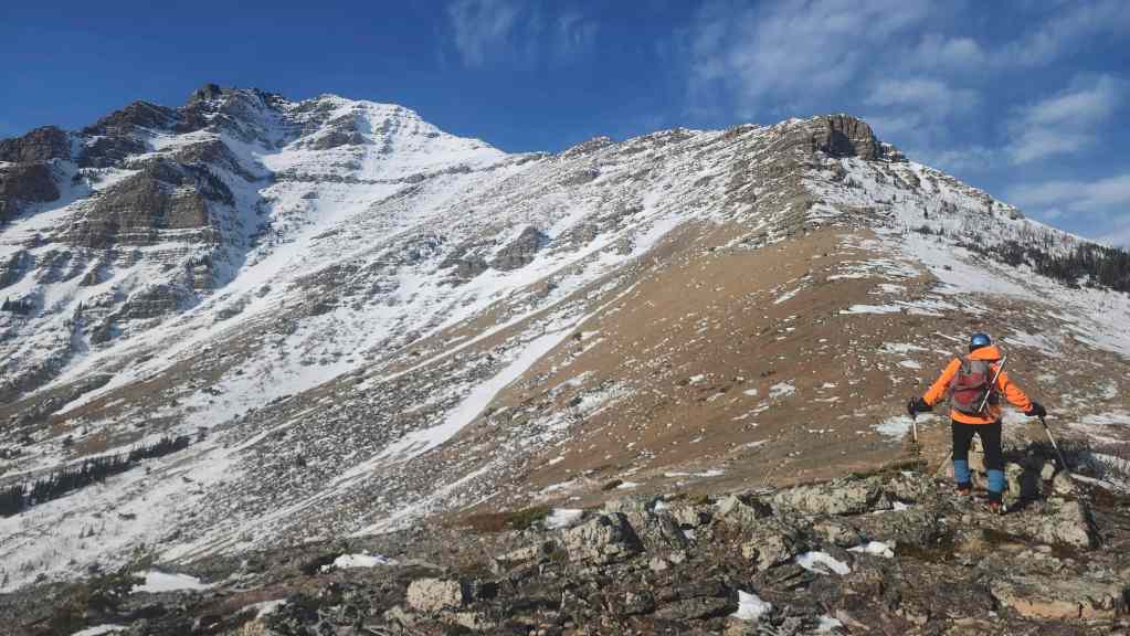
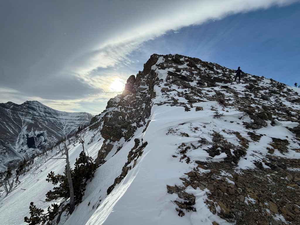
Looking back as we near the start of the shoulder.

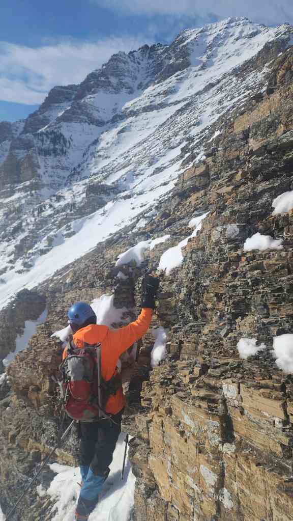
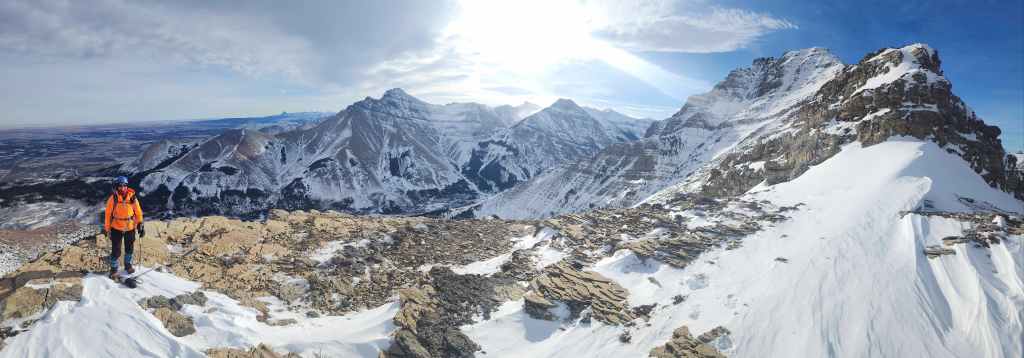
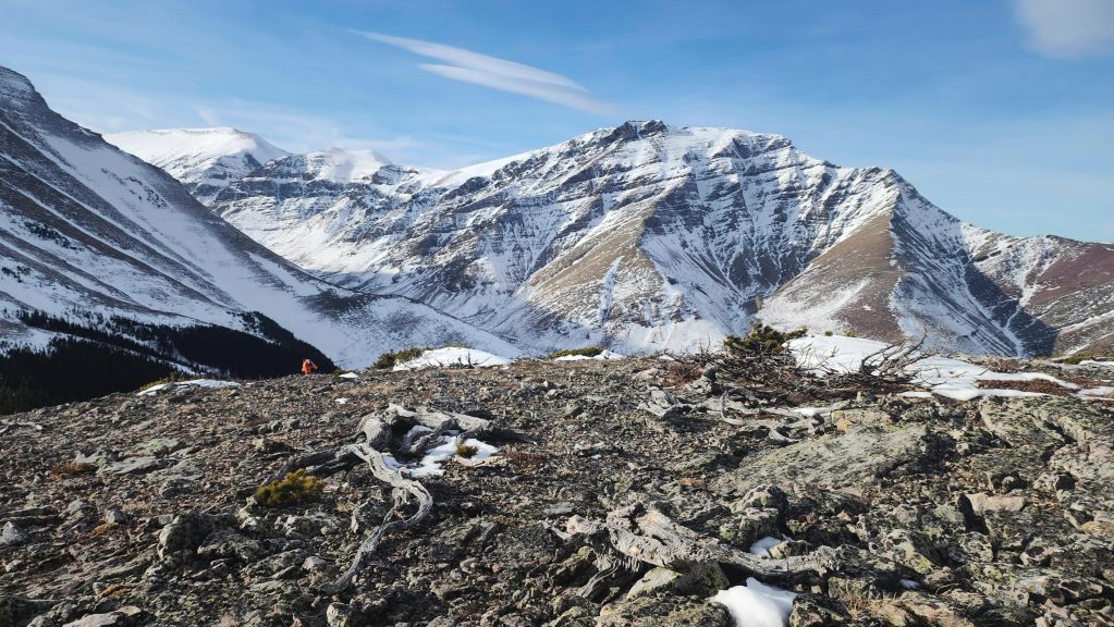
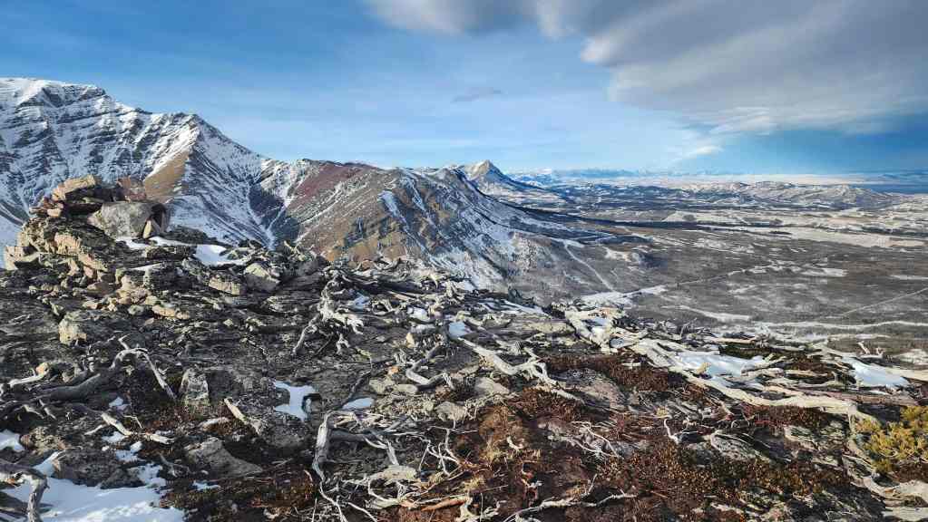
On “Butter Tart” and looking over at Pincher Ridge.
A telephoto over to Windsor Mountain (left) and Castle Peak (right). (Photo by Andrew Nugara)

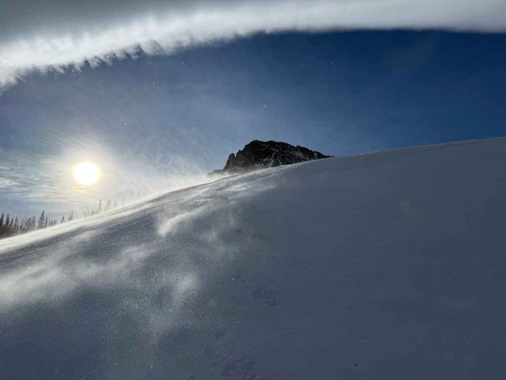
The clouds of an emerging chinook arch.
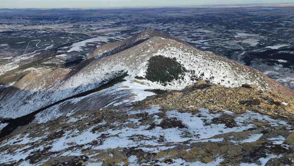
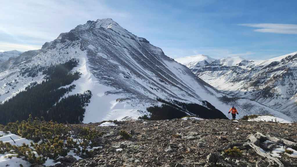
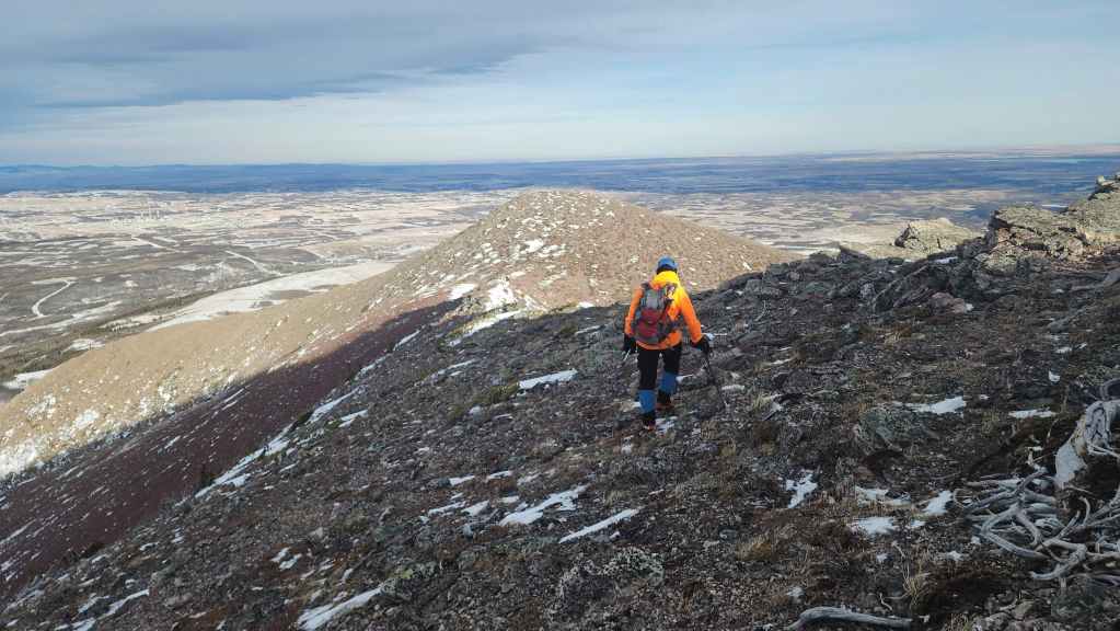
Looking to the northeast at “The Croissant” and “The Muffin”.
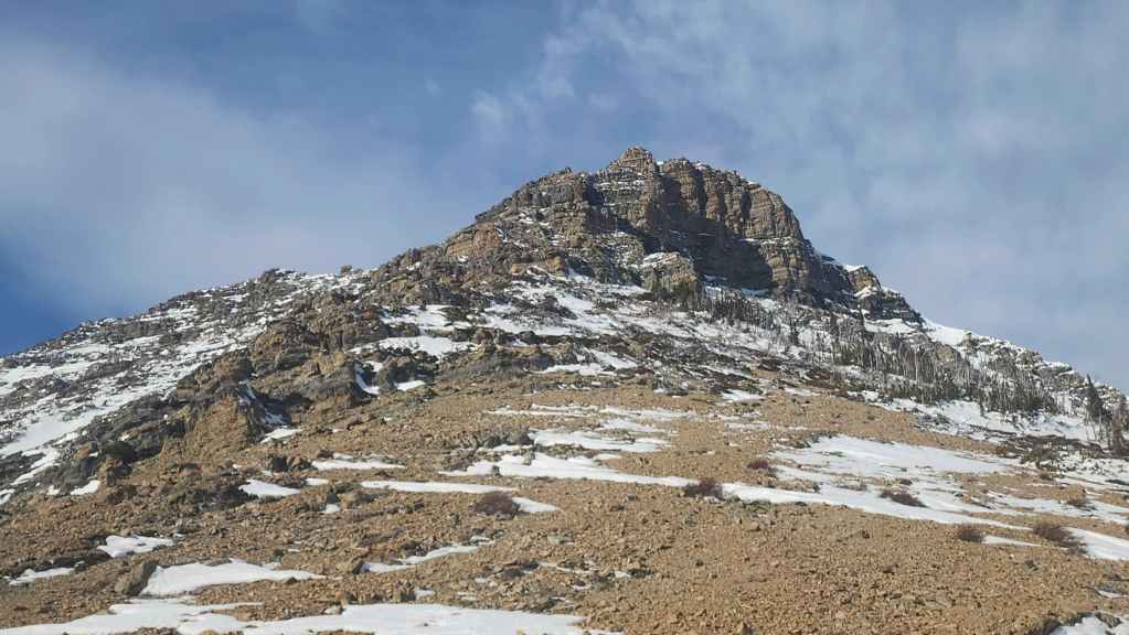
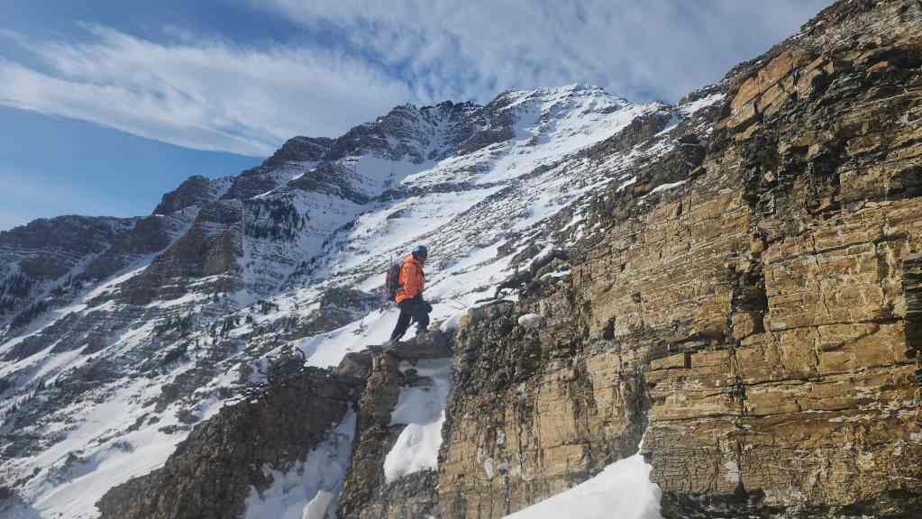
We briefly considered continuing to “Bakery Peak” (centre), but the intense wind made tackling the narrow shoulder an unwise idea. Hey Brad! Do you see that nice looking couloir on the top left that leads to the summit? 🙂
Still, the views we achieved were pretty good. 🙂
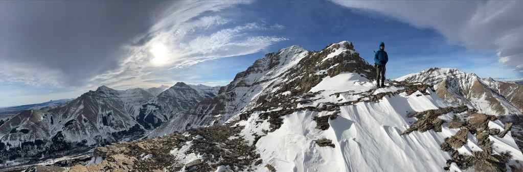
The chinook arch is clearly visible in this cool pano. (Photo by Andrew Nugara)
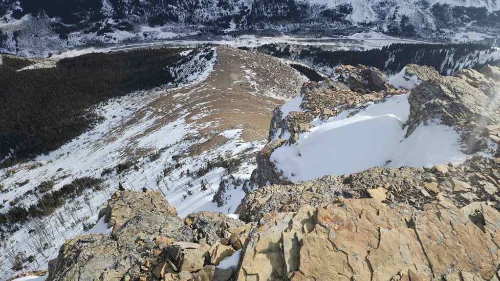
Gazing down at our route up from the road.

Getting ready to leave our sheltered spot…
And head into the crazy wind.
Andy’s view back from the previous photo. (Photo by Andrew Nugara)

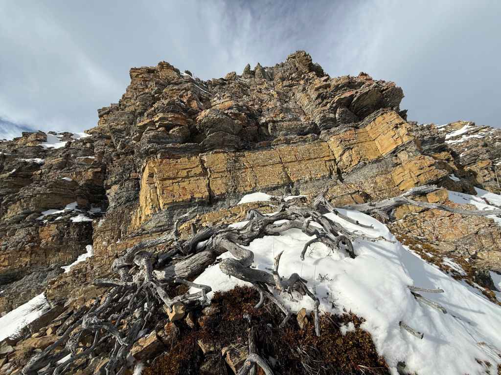
The impressive cliffs that mark the start of the shoulder.
We stopped along the edge to see if the ‘A’ is still there – and it is!
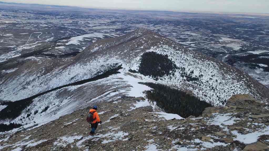
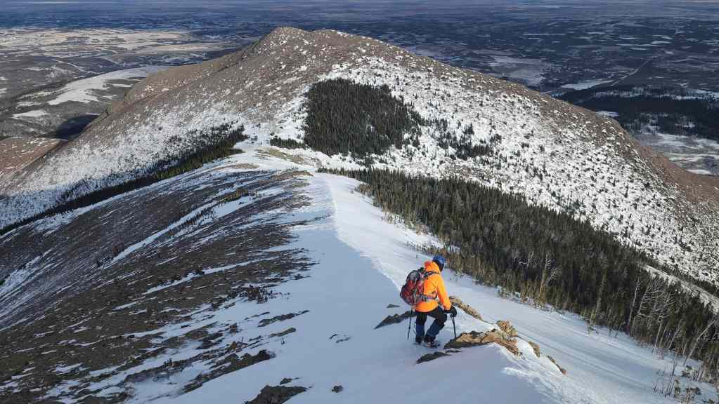
Heading down easy slopes to the col with “The Croissant”.
The snow made things slightly easier; however, wind gusts kept trying to knock us over the edge.

My view back to Andy and the chinook arch.
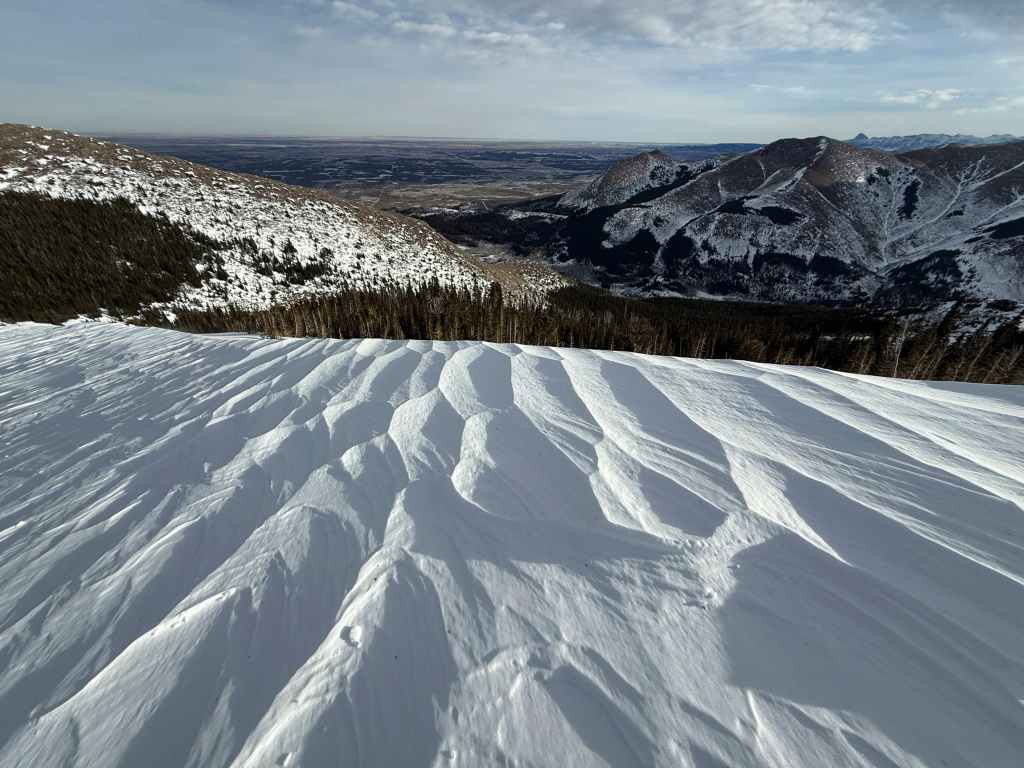
Andy nicely captured these wind markings in the snow. (Photo by Andrew Nugara)
Yet another great photo from Andy. (Photo by Andrew Nugara)
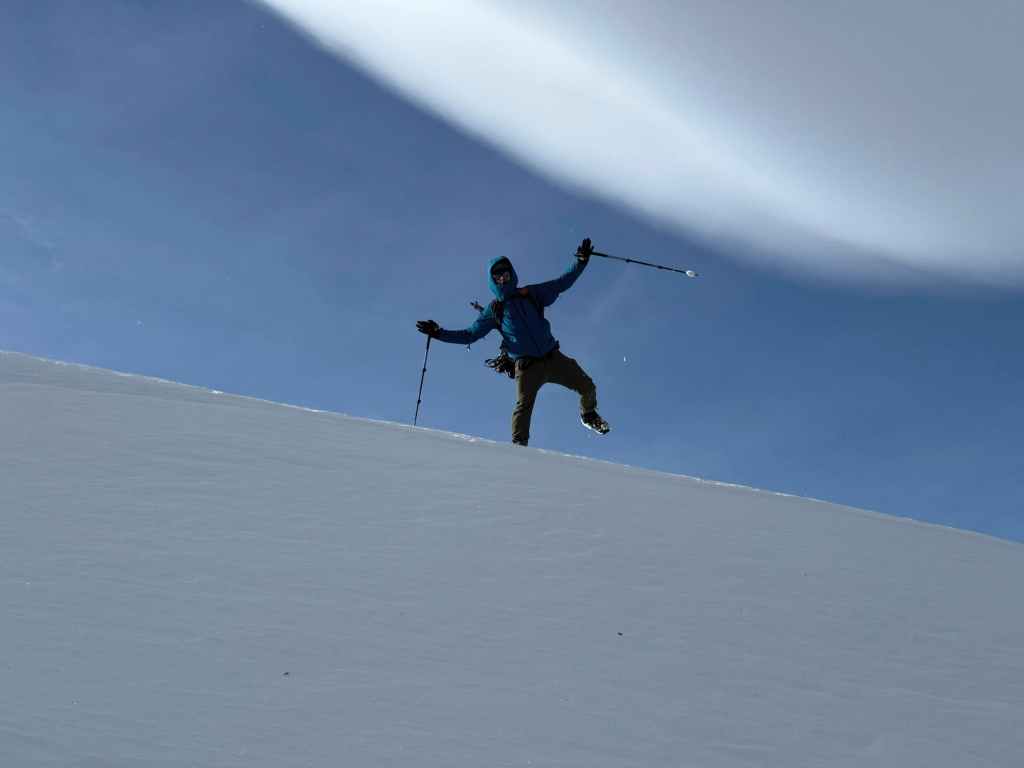
I feign being knocked down by the wind – which would actually happen shortly after this photo was taken. So remember kids, great comedy is real life. 😂 (Photo by Andrew Nugara)

The arch and the snow share inverted curves. (Photo by Andrew Nugara)
Yet another cool photo by Andy. (Photo by Andrew Nugara)
Almost at the col. The wind was also growing more intense.

The view back as we arrive on “The Croissant”.

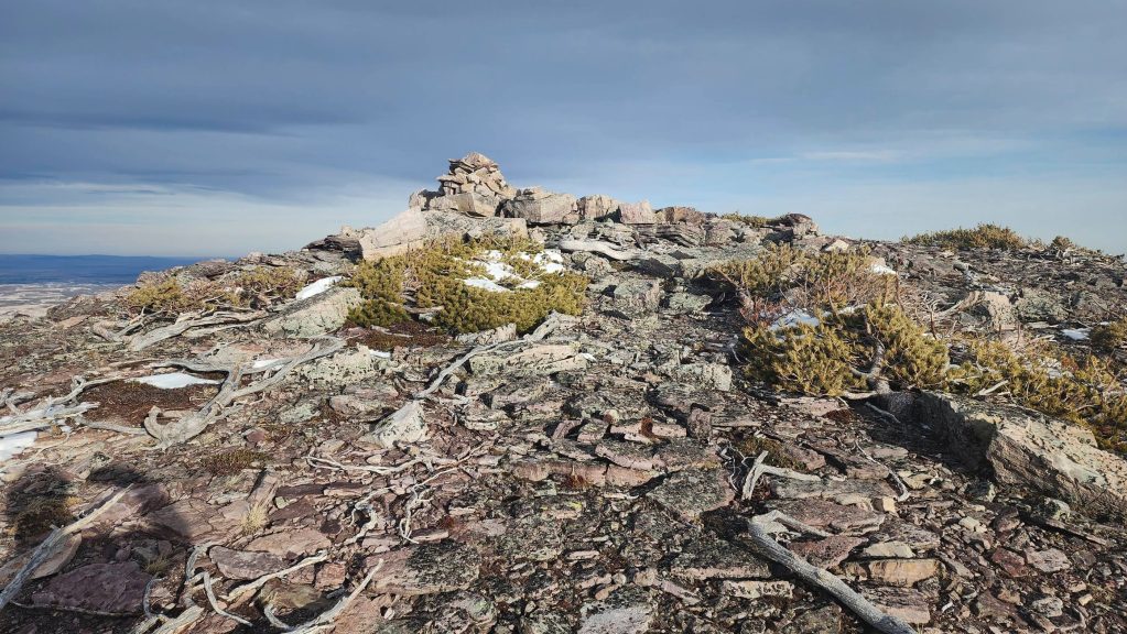
The summit of “The Croissant” (2037 m).
Looking to the south…
And then to the west.
Andy joins me on the summit.
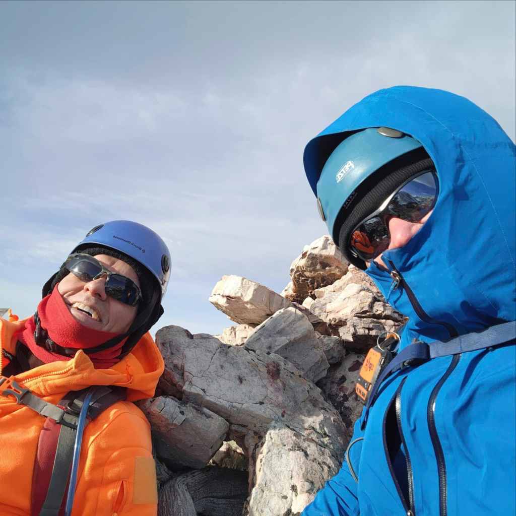
A summit quick photo as we brace ourselves against the cairn.
Andy fights the wind as we leave the summit.
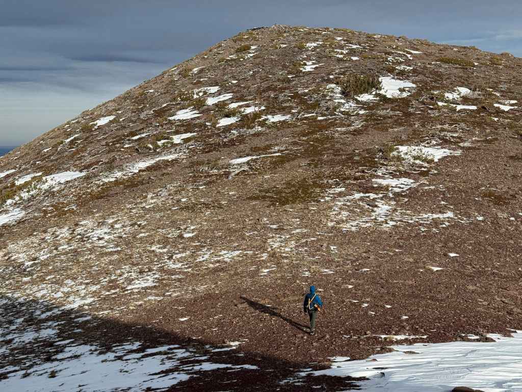
Making the quick trip to “The Muffin”.
In the col between “The Muffin” and “The Croissant”. (Photo by Andrew Nugara)

Looking back as we arrive on the summit.
The summit of “The Muffin” (2000 m).

A quick look to the west…
And then to the south.
Followed by one slightly to the northwest.
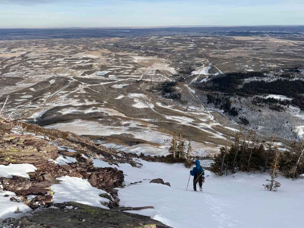
We did not stay more than a minute or two on the summit before making a hasty retreat. Fortunately, we found this great snow gully that we could descend to the base of the mountain. (Photo by Andrew Nugara)
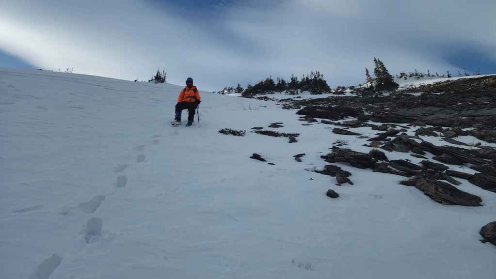
Andy follows me down. The snow was terrific for descending!

Not only was the snow great, we were also sheltered from the wind. (Photo by Andrew Nugara)

We will eventually emerge in the meadow to the left of my truck.

Another look back.
Out of the gully and following open slopes back to my truck.

A look back at “The Muffin” with the snow gully directly behind Andy.

Arriving back at my truck 5 hours and 45 minutes after starting.

A final look back at “The Muffin”. Despite the intense wind, we ended up gaining more elevation than I thought we would. Moreover, the scrambling was a nice bonus for a late December outing. HUGE thanks to Andy for a super fun day and a very Merry Christmas and Happy New Year to all! 🙂


Leave a Reply