

 Hiking and scrambling are inherently dangerous activities. Please read my Disclaimer.
What a glorious day to play in the mountains! With a fresh blanket of snow, a clear blue sky, and near perfect temperatures, today was the first time in months that the weather cooperated. Most importantly, the raging wind that has hindered all of my trips so far in 2026 – and even thwarted a couple from actually happening – was nowhere to be found.
Yup, even for someone who has lived in Lethbridge for 32 years, the wind this year has been exceptionally bad. Normally I still head out when it’s howling even if it limits your choice of destination, but this year, severe wind gusts between 120 and 130 km/hr were more frequent and quite frankly, demoralizing.
In fact, we pulled the plug on two trips earlier in the year due to wind and when we finally did get out, the wind tried its best to murder us. Moreover, when it wasn’t the wind, the weather itself turned maliciously foul on the weekends when I was planning a trip. In short, I had hoped to be in the mountains a whole lot more this year than I actually have.
Oh, and if it wasn’t the wind trying to murder me, it was my own body. Back in March, Brad, Andy, and I were on a trip to an outlier above ‘The Gasser’ ice-climb on Drywood Mountain (and yes, it was freakin’ windy), when my intestines decided to pop out of my body. You see, I’ve had an umbilical hernia for a couple of years and though I’ve climbed dozens of peaks with some discomfort, never had the pain forced me to quit and turn back like it did on that day. However, it definitely made for a comedic scene as I assumed the fetal position on the side of the mountain in an attempt to push my guts back in. 😂 Thankfully I have surgery scheduled for the beginning of May, but my post-op instructions prevent me from hiking for the remainder of that month. Sigh… 🙁
Anyway, I should talk about today’s trip. As Andy had to be back in Calgary early that evening, we needed to find something that was quick but interesting. Since I’m always game for something on the front range of the Castle, I suggested revisiting, “Prairie Fire”, which is an outlier located immediately to the southwest of Prairie Bluff.
I wanted to check out a couloir that Brad and I had noticed exactly one year ago on approach to our NE Face Route. With Andy willing to humour me, we made our way towards the targeted couloir. However, while traversing, we noticed a potentially better couloir just prior to reaching our objective. Though we couldn’t see much beyond its entrance, its path through the rock made it irresistible.
So, off we went and you know what? It ended up being an amazing little route. As I mentioned in another post regarding a new route on Prairie Bluff, these little peaks are always so much fun, but they really shine when there is snow. A quick snow couloir route is a great way to practice but when you get into conditions like today, with a rich blue sky and a blanket of new snow, the rock scenery just pops.
Finally, why the moniker, “Sleeping Princess”? This again goes back to my earlier trip on Prairie Bluff, where I had joked to Brad that I should start nicknaming routes after princesses so my granddaughters will grow a passion for exploring mountains. Of course, I will soon have to start something similar for my grandson. Anyway, these are just my silly nicknames and as always, I never expect anyone to feel any obligation to use them. They are after all, tiny routes on a tiny mountain.
Huge thanks to Andy for such great company and to my intestines for staying inside my body. Until next time… 🙂
Be sure to read Andy’s excellent report!

To get to “Prairie Fire” we drove north from Waterton National Park on Highway 6 until we reached the Shell Waterton Complex Road (Township Rd. 43A). We then turned onto the road and drove west for ~9.1 km until we came to a junction with a gravel road near to the entrance of the plant. Here, we turned left and onto the gravel road where we continued for ~7.2 km until we came to a large pullout with a gate on the left side of the road. This is where we parked and where the trailhead began.
From the trailhead, it was merely a matter of heading straight towards “Prairie Fire”. At first, we followed an old road for a short distance before leaving it to head overland; keeping the mountain directly in front of us. Eventually, we came to fence and a gate that led to a trail running directly between “Prairie Fire” and Prairie Bluff.
As we would learn on our return, there is a secondary trail that leads almost to the base of the “Sleeping Princess” couloir. However, we didn’t know this and so we proceeded to the base of the mountain just to the east of the NE Face Route. For reference, from the trailhead to the base of the mountain it was ~1.9 km. Here we hiked ~320 m up the steep slope to the base of the first cliff band, before traversing east and towards the couloir.
Approximately ~175 m after starting our traverse, we came to the start of the couloir. After another ~175m of climbing the couloir proper, we emerged onto a large drainage that led to a sizeable cliff band located near the top of the mountain.
We then followed the drainage for ~220 m until we arrived at the base of the cliffs and were presented with the option to head climber’s left or climber’s right. We chose climber’s right and proceed to traverse north for ~100 m until we were almost above the NE Face Route couloir. A quick scramble brought us to the top of the ridge where another ~250 m of hiking brought us onto the summit.
From the summit we descended to a drainage located to the southwest and then proceeded to follow it to a second drainage than ran between “Prairie Fire” and “Prairie Sky”. We then circled the mountain staying relatively high, until we were beneath the “Sleeping Princess” couloir. This is where we found a good trail that brought us back to the same trail we used on approach and ultimately, back to the trailhead.
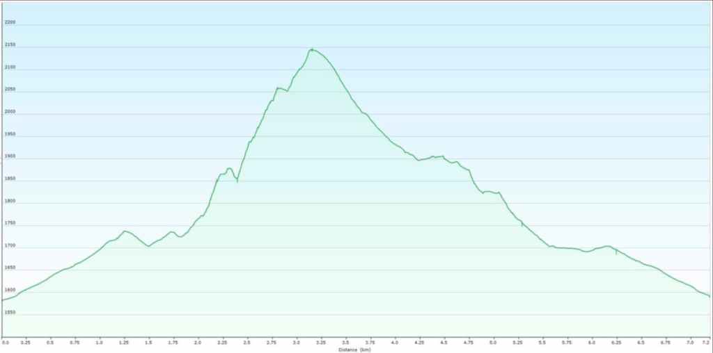
Our total roundtrip distance was 7.9 km with a total elevation gain of 673 m. For reference the total elevation gain from the base of the mountain to the summit was 436 m – so not much at all. Our total roundtrip time was 5 hours and 22 minutes.
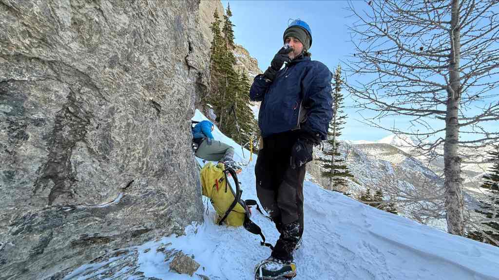
Perhaps the greatest photo of me on a mountain! 😂 This was 3 weeks ago during an attempt of “The Gasser” outlier on Drywood Mountain. While Brad enjoys a dart, I’m in the fetal position trying to push a hernia back into my body. 😂😂 It didn’t work and even though I encouraged my friends to keep going, Brad and Andy decided to bail on the trip with me. (Photo by Andrew Nugara)
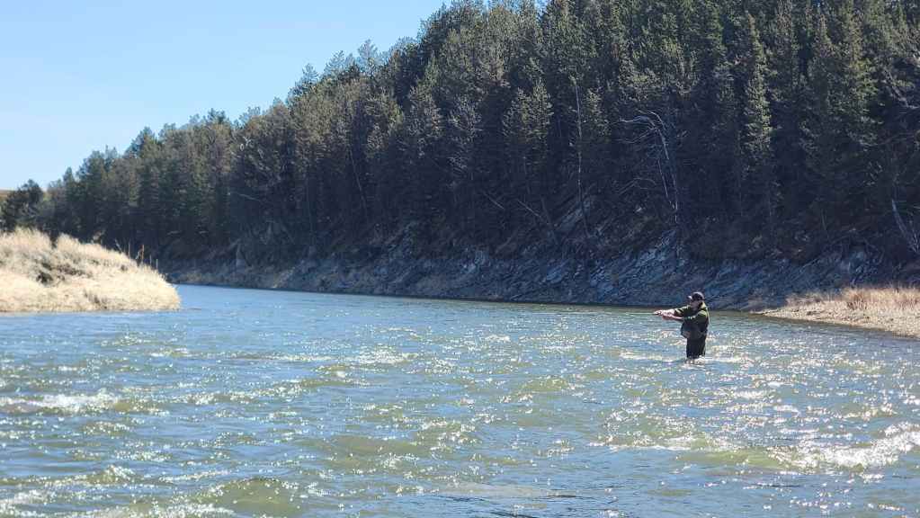
Finding myself with unexpected free time, I’ve enjoyed getting on the water with my oldest son, Joel. 😀 That’s him flogging the Crowsnest River. In 3 separate days over the last 3 weeks, we landed 31 fish and were well into a dozen more.
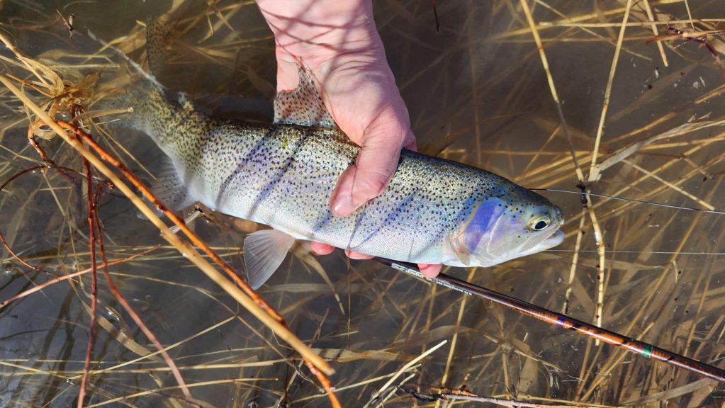
A plucky Crowsnest rainbow. Every now and then, I have to prove that there are indeed streams to Peaks and Streams. 🙂 For me, 2026 marks my 50th year as a fly fisherman. In fact, I still remember my first fish on a fly. It was a 6″ brookie that took a bumble bee pattern that I haplessly dangled over the bank of the creek behind our house.
That experience began a lifelong passion. Being raised in privilege and having two creeks and the Elbow River on our property meant I could fish and explore pretty much anytime I wanted. Though I had taught myself to fly fish as a young kid, it was when I was in my teens that Jim Gauld, an outdoor writer who owned Fishing Sports in Calgary, took me under his wing and formally taught me the intricacies of fly fishing and fly tying. He would even let me mind his store by myself when he went for lunch. Thanks Jim. I will always be grateful for your mentorship and for showing me that writing about your outdoor pursuits is meaningful, even vital, to praxis. 🙂
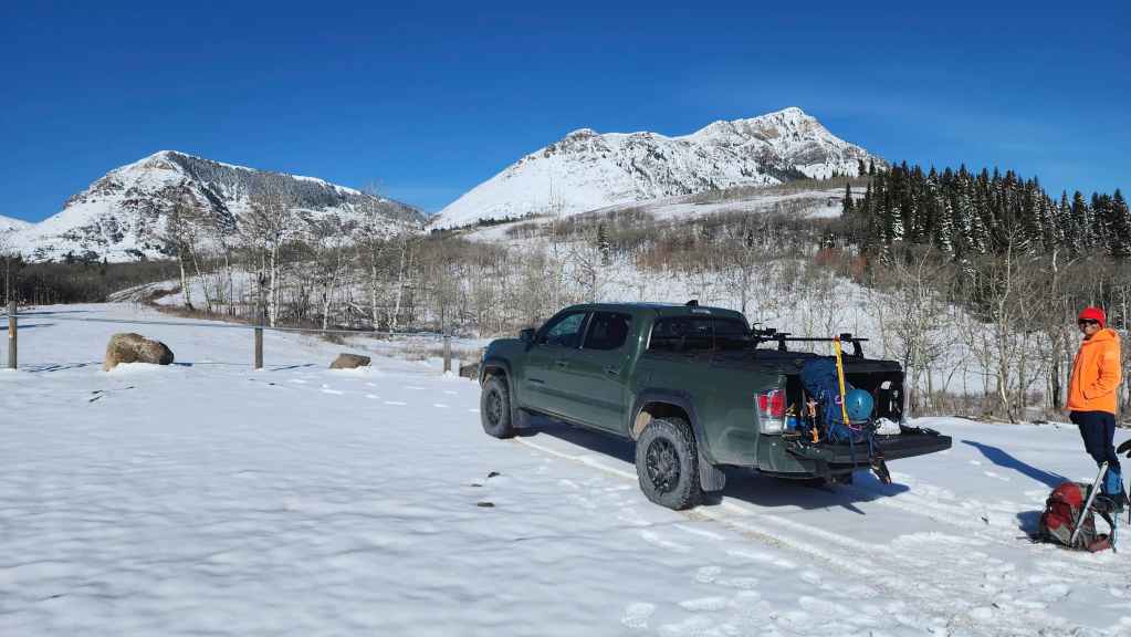
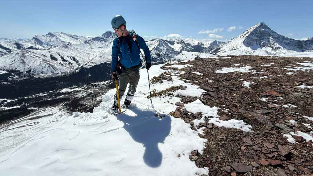
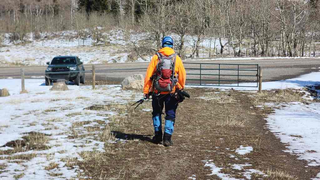
Okay, back to today. Gearing up at the trailhead with “Prairie Fire” on the left and Prairie Bluff on the right.
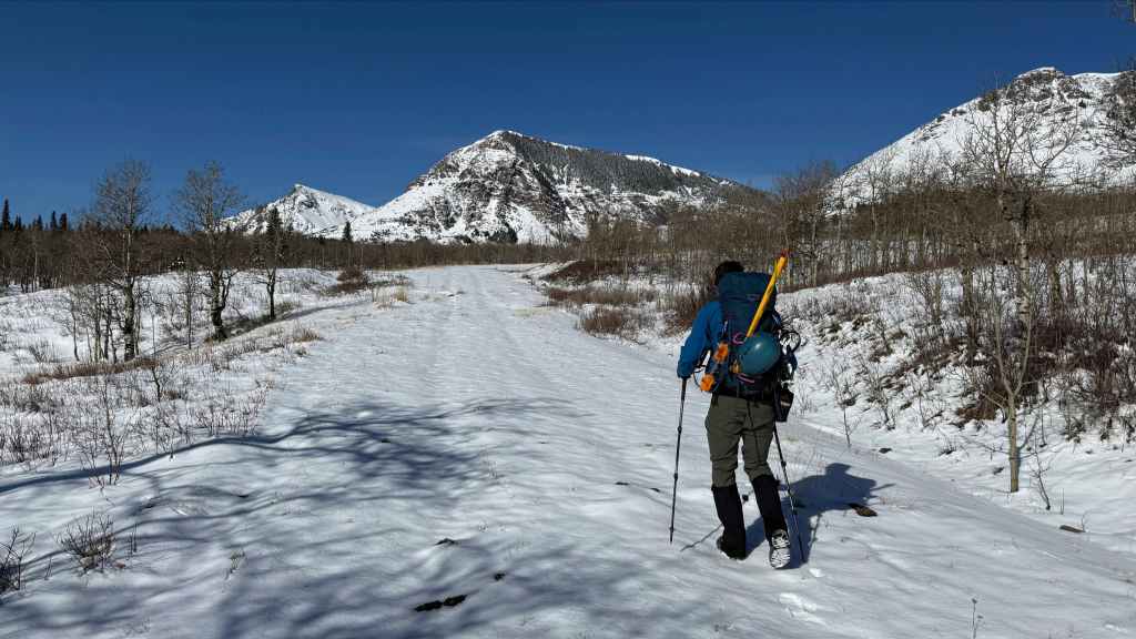
Starting off along the trail with “Prairie Fire” directly in front of me. “Prairie Sky” can be seen just to the left. (Photo by Andrew Nugara)

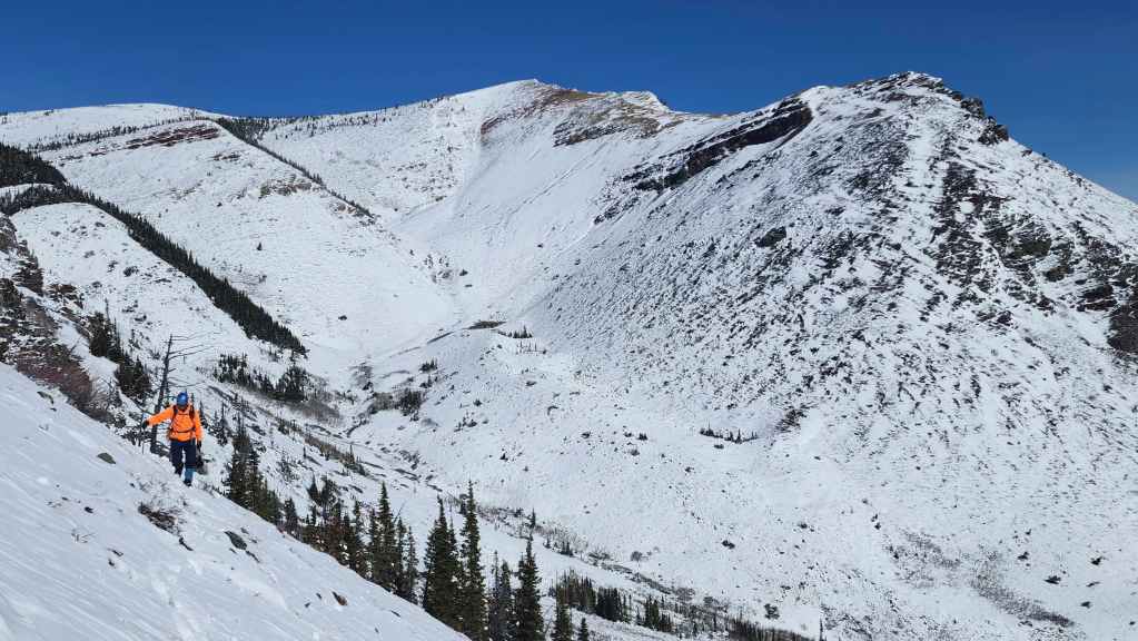
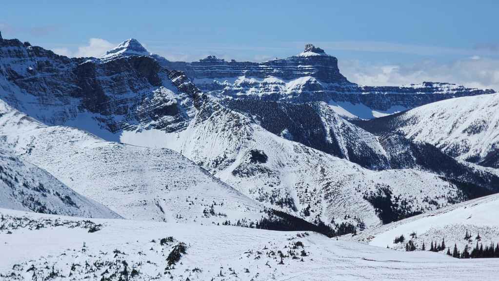
Exactly one year ago, Brad and I had almost identical conditions when we ascended “Prairie Fire’s” northeast face (centre).

What an amazing day to be in the mountains! 🙂

A closer look at Pincher Ridge (centre) with “The Horn” (far right) and “Bridle Peak” (left). (Photo by Andrew Nugara)
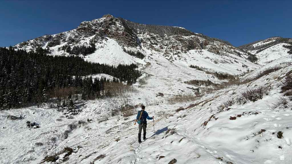
Nearing the base of “Prairie Fire”. (Photo by Andrew Nugara)

The Northeast Face Route that Brad and I used a year ago is in the centre. As I mentioned before, that was also a super fun trip! 🙂
Did I already mention that it was amazing day to be in the mountains?

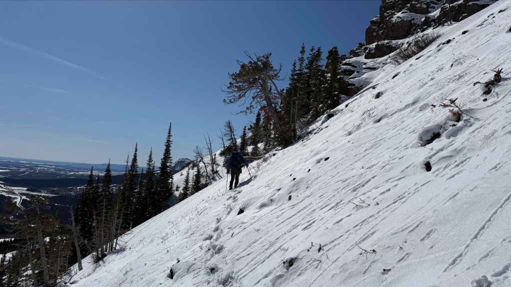
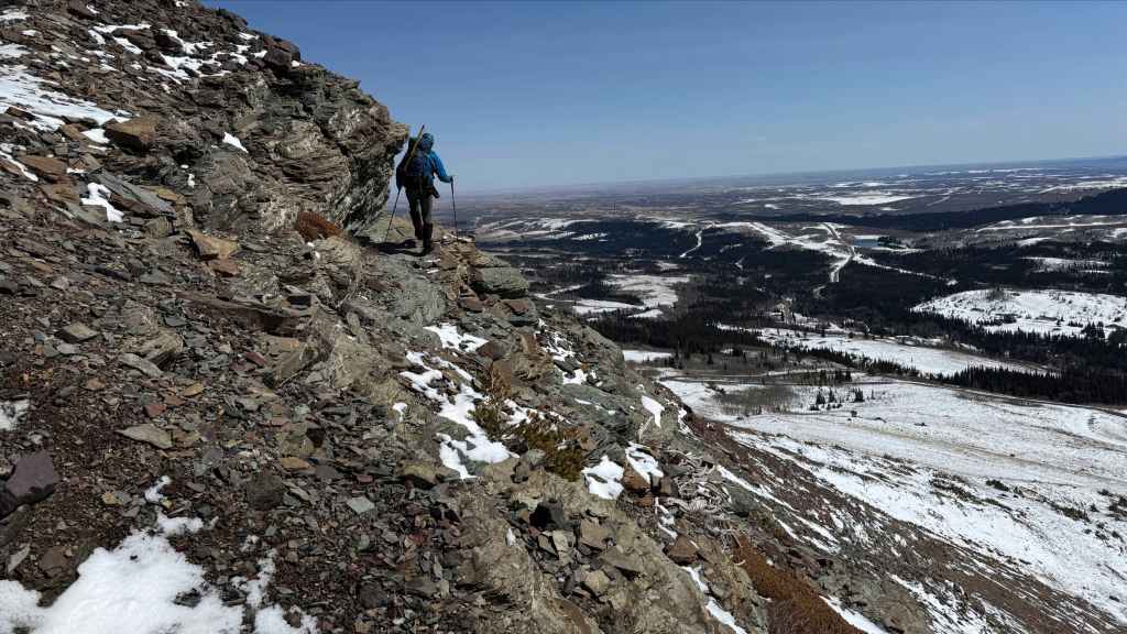
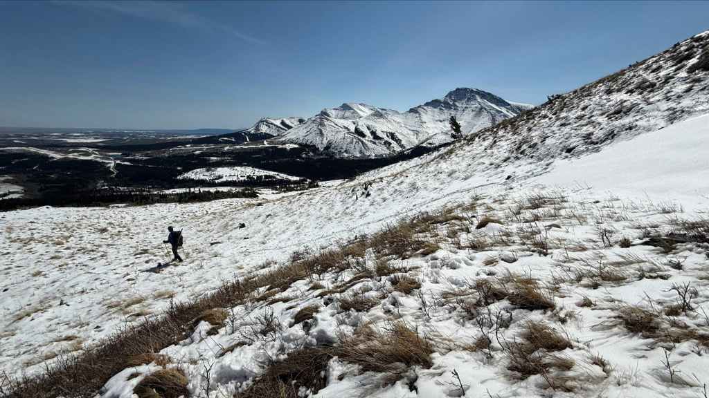
Looking back as we ascend to the first cliff band. Prairie Bluff is on the left.

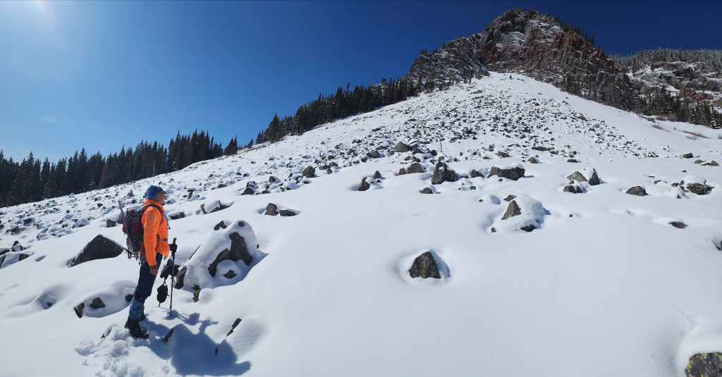
Beginning our traverse. Had we known there was a trail that went almost directly to the base of the “Sleeping Princess”, we wouldn’t have had to do this. (Photo by Andrew Nugara)

But then again, we wouldn’t have seen these super cool rock formations. (Photo by Andrew Nugara)
Still traversing. (Photo by Andrew Nugara)
My view back from the previous photo.

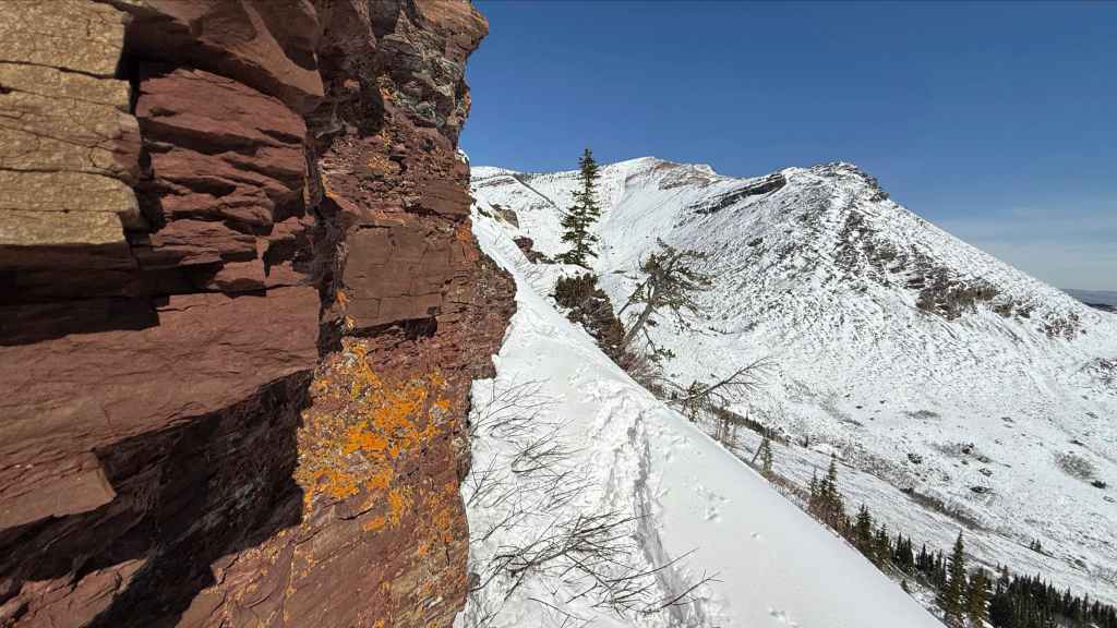
Heading up to check out some red argillite. Meanwhile, the mountain was trying its luck at rolling cheese wheels. (Photo by Andrew Nugara)

Same as the previous photo, but this time with more of the cool rock above. (Photo by Andrew Nugara)

Passing a particularly striking section of argillite. (Photo by Andrew Nugara)

My view upwards from the previous photo.

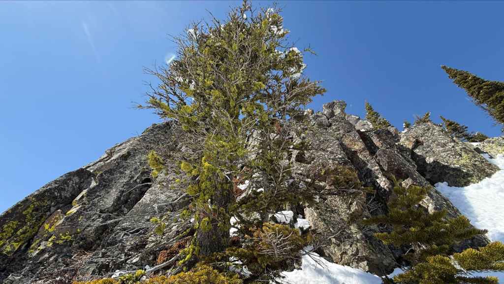
Andy stops to admire the argillite. Seriously. How many times have I written this over the years? It’s almost becoming redundant, much like me. 😂
Andy’s view towards “Prairie Bluff” from the previous photo. (Photo by Andrew Nugara)

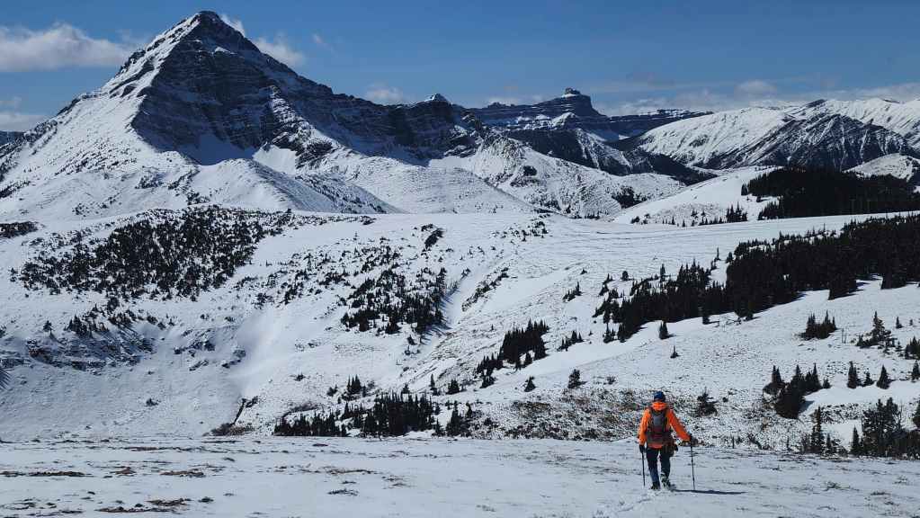
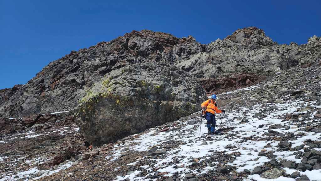
Still traversing…
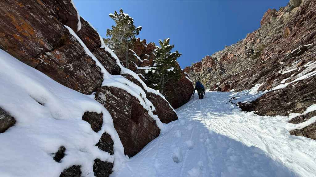
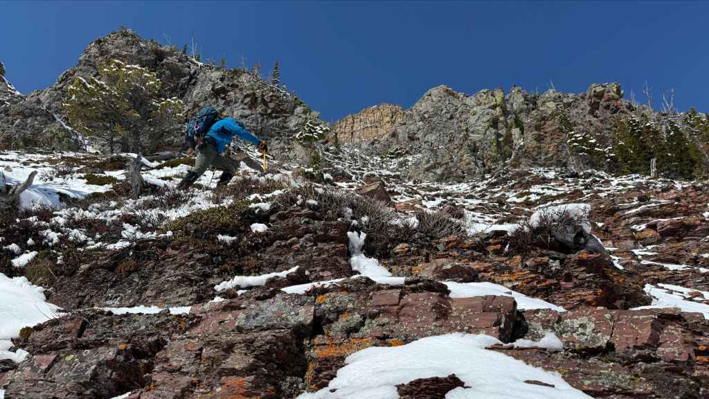
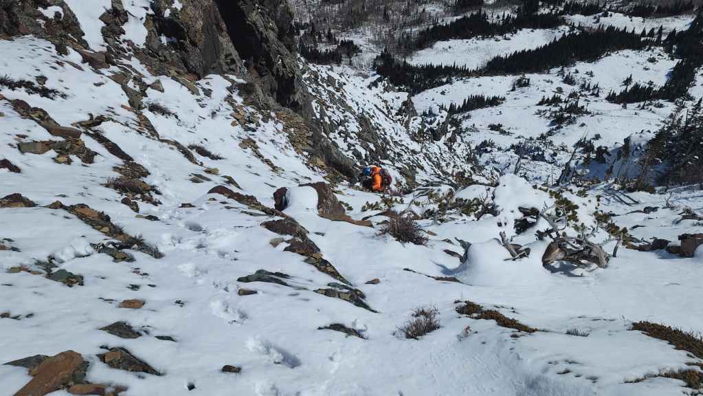
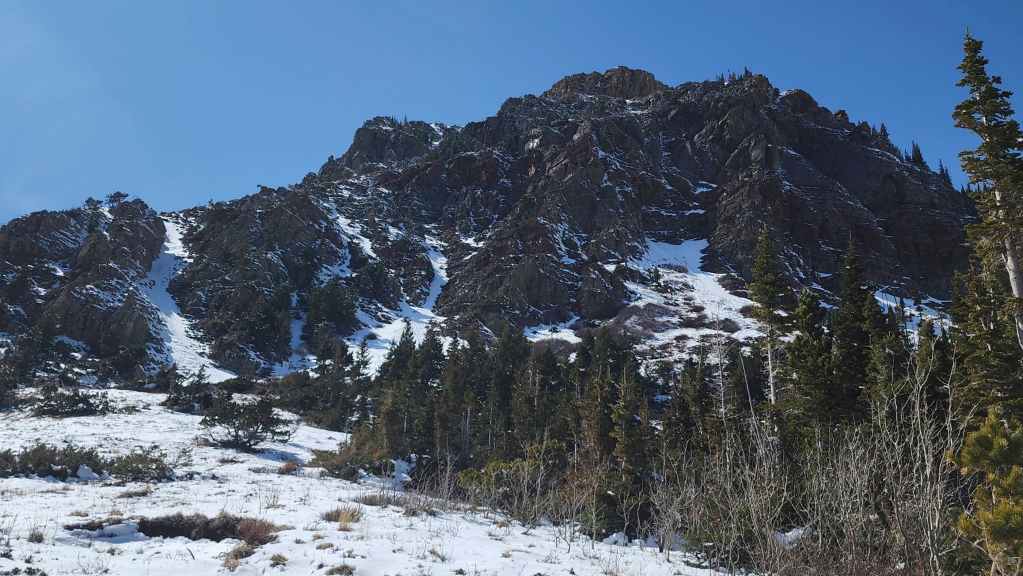
Though we hadn’t quite reached our intended couloir, this one caught our eye, so up we went! (Photo by Andrew Nugara)

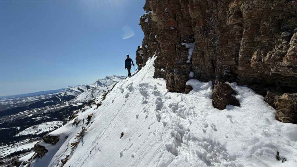
The entrance to the couloir is on the right.
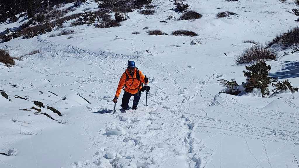
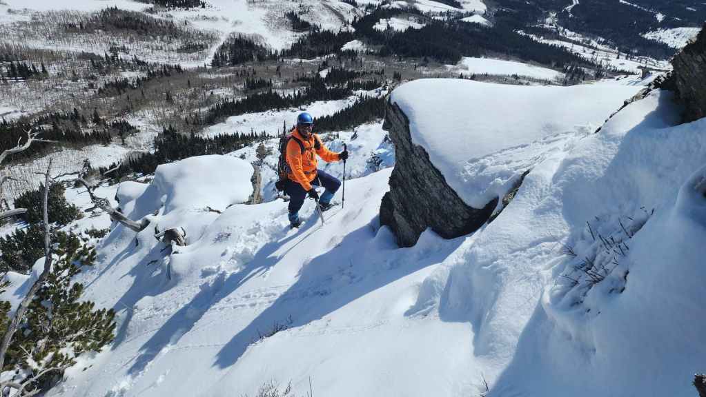
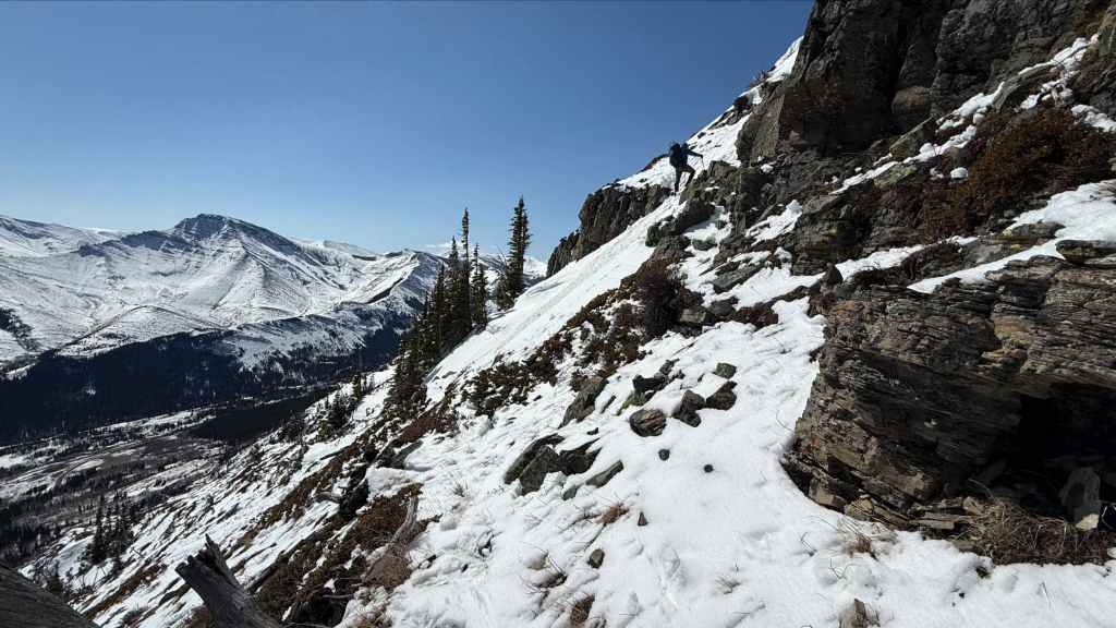
Mr. Fluorescent follows me up. 😂
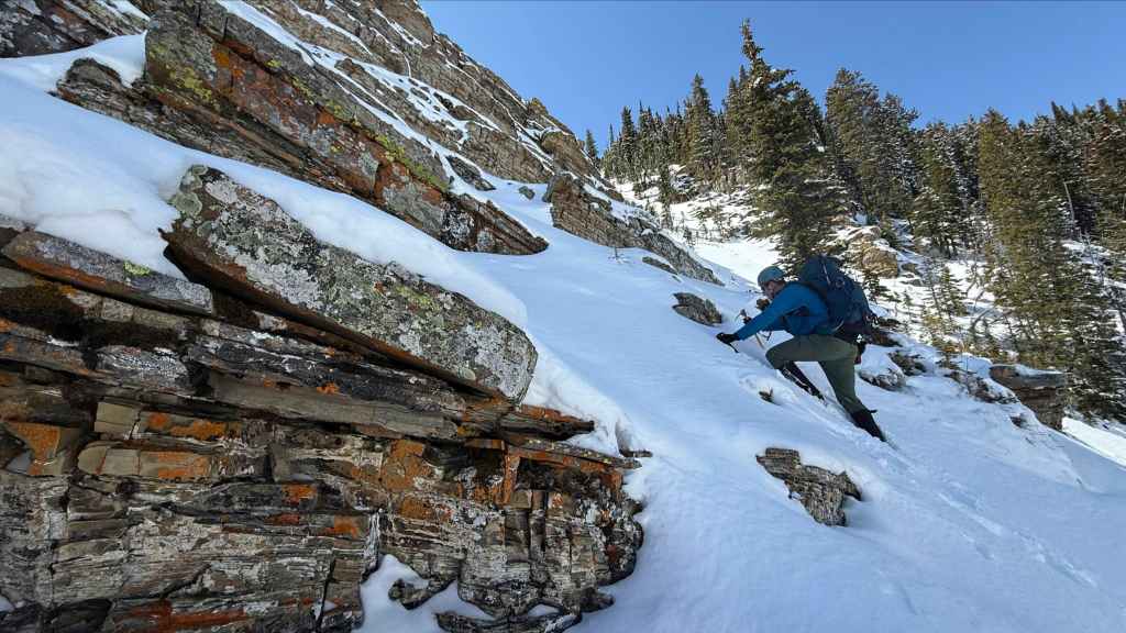
Red argillite and gnarly drywood made for an intriguing landscape. (Photo by Andrew Nugara)
So far, so good. (Photo by Andrew Nugara)

One of many interesting rock formations. (Photo by Andrew Nugara)

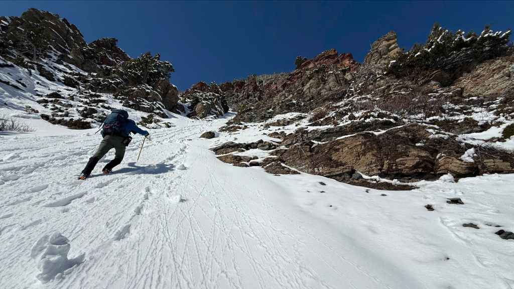
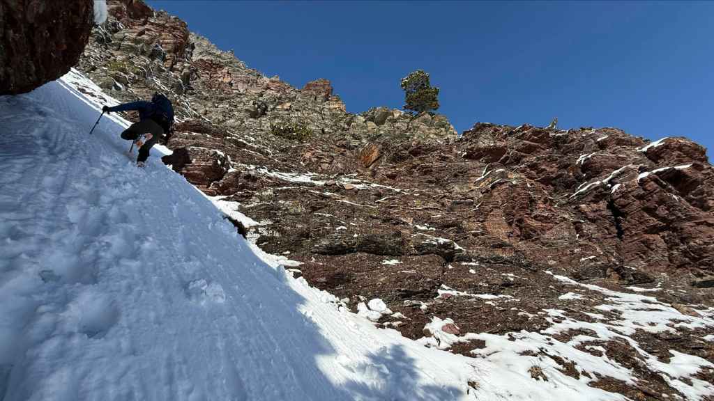
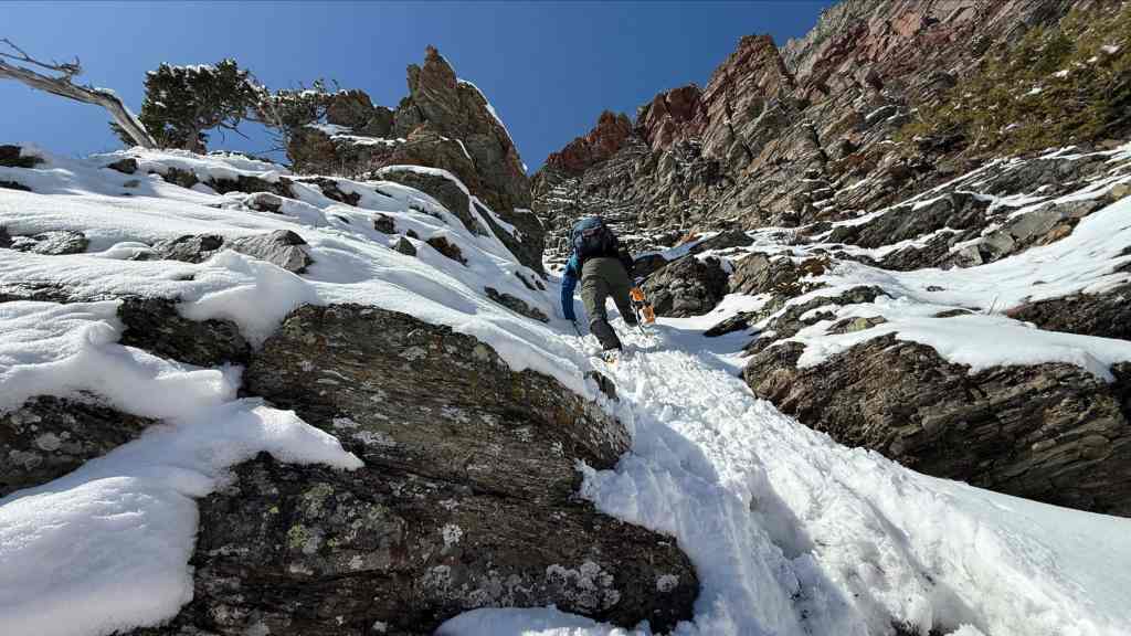
I know it’s cliche and perhaps even redundant to mention, but it’s steeper than it looks. The snow however, was in magnificent shape. (Photo by Andrew Nugara)
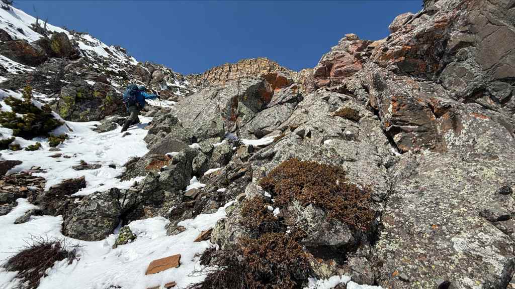
Looking back after gaining a bit of elevation.
I’m so glad that we chose this route! (Photo by Andrew Nugara)
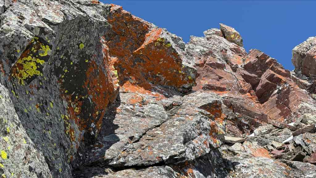
More colourful rock. (Photo by Andrew Nugara)

Passing an outcrop of red argillite. (Photo by Andrew Nugara)
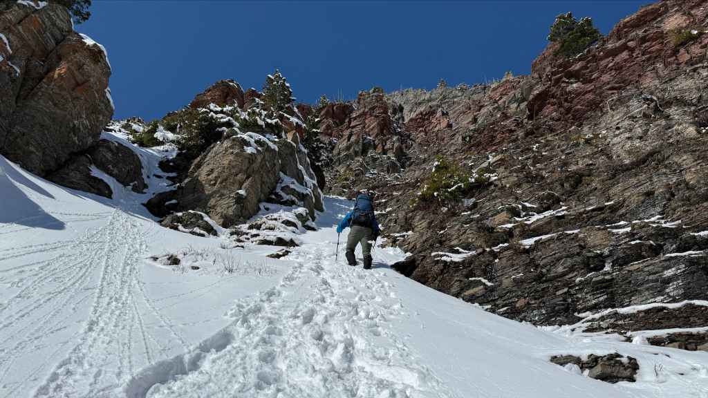
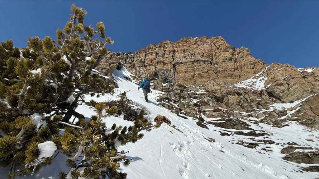
Entering the upper section of the couloir. (Photo by Andrew Nugara)

Here the couloir widens. (Photo by Andrew Nugara)
Based on the level of pain it can bring, this is what I imagine my hernia to look like. 😂 Thankfully, my guts remained intact throughout the trip.

An even better view of the previous photo. (Photo by Andrew Nugara)

Nearing the top of the couloir. (Photo by Andrew Nugara)
A wider angle of the previous photo.
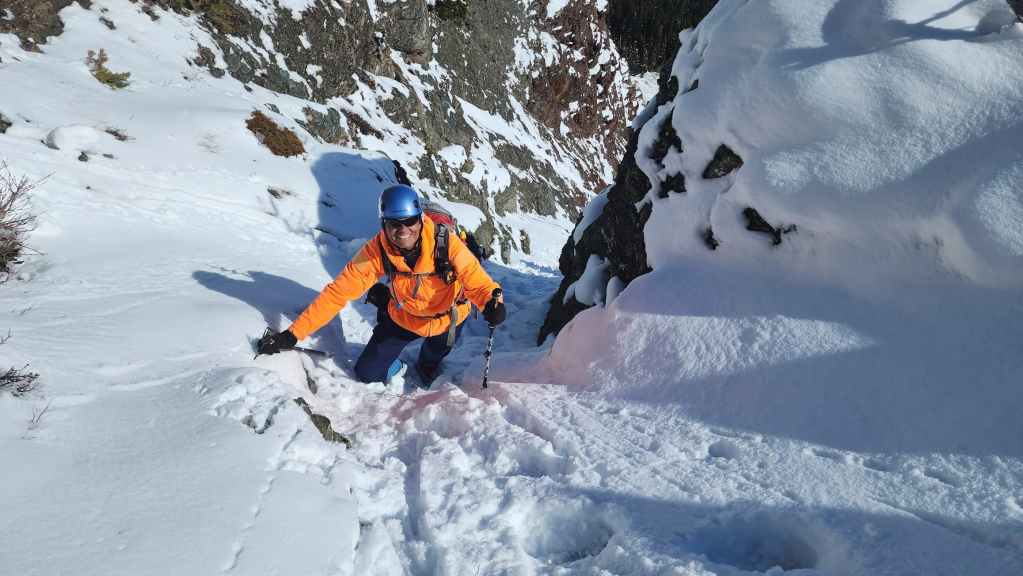
The human highlighter climbs a small step. 😂
The upper section had some fantastic scenery!
Arriving at the top of the couloir… (Photo by Andrew Nugara)
And really enjoying the weather. 🙂

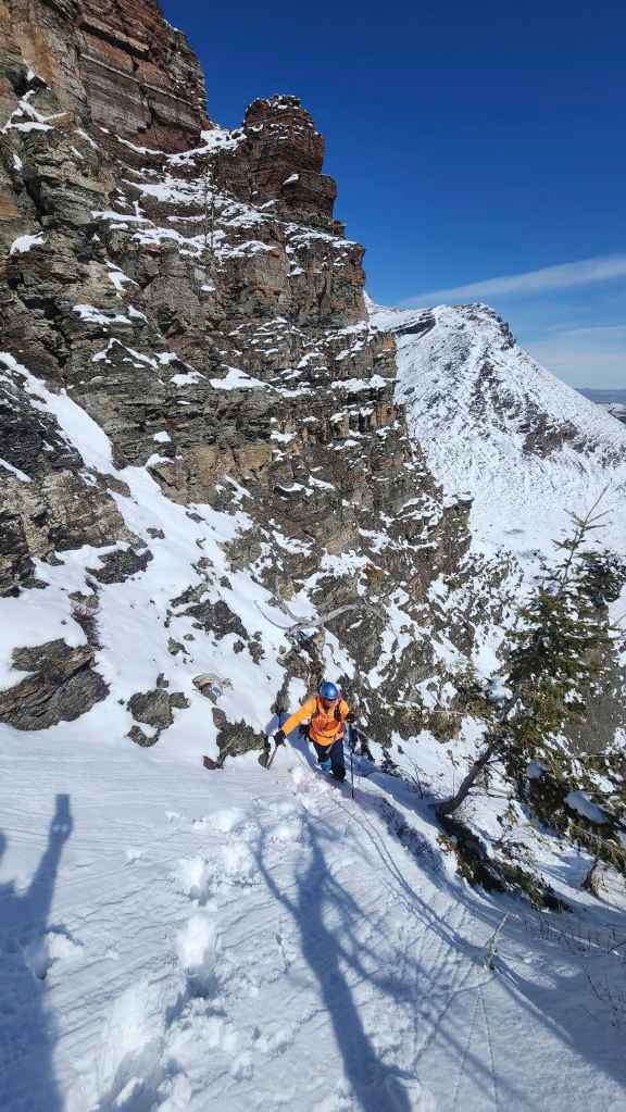
Andy tackles a deceptively steep line.
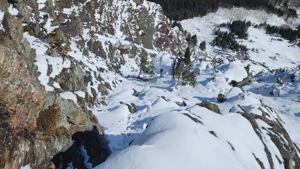
Looking back and along the couloir from the top. What a fantastic little route! 🙂
I survey what lies ahead… (Photo by Andrew Nugara)
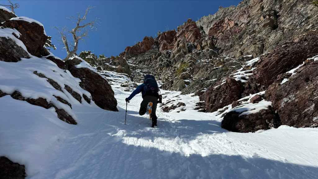
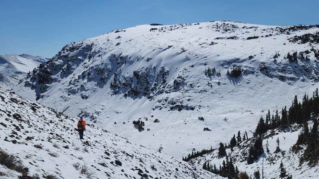
And see that it turns into a large gully.

Another look back to Andy as we start up the gully.
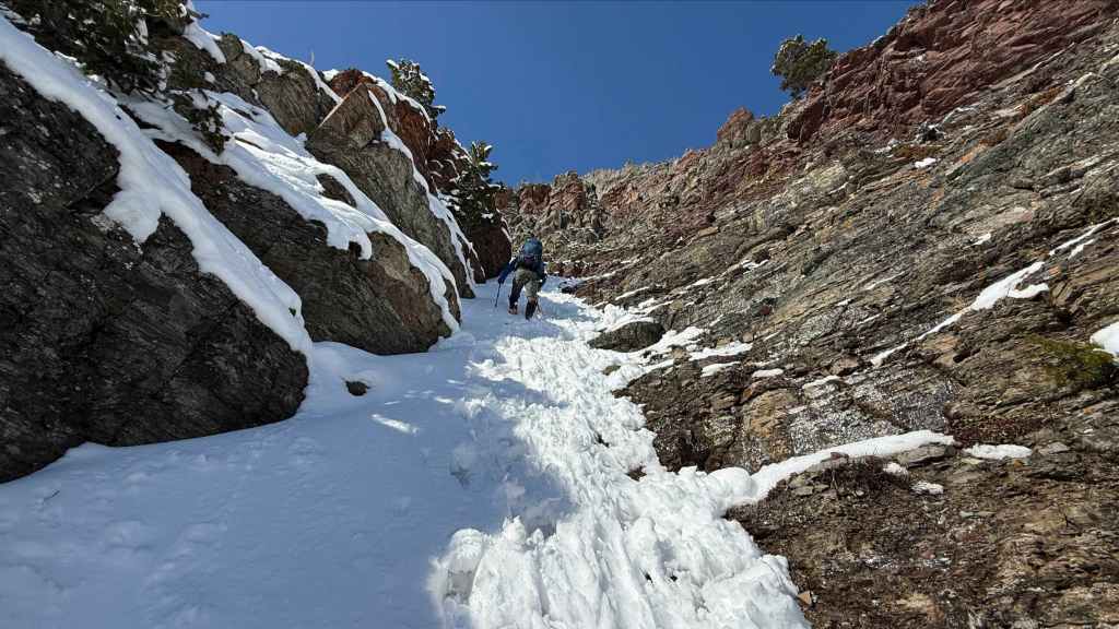
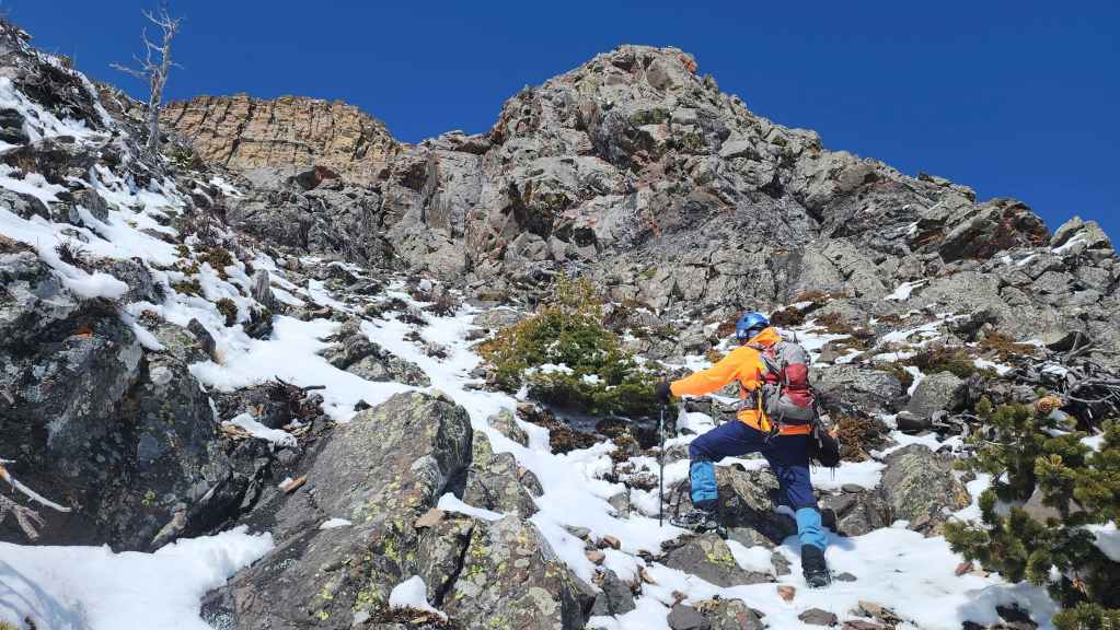
Compared to the couloir, the gully laid back; however, there were still spots where scrambling was required. (Photo by Andrew Nugara)
After a quick bite to eat, Andy takes the lead.
Now it’s my turn. (Photo by Andrew Nugara)
Lichen and argillite. Classic Castle colours! (Photo by Andrew Nugara)
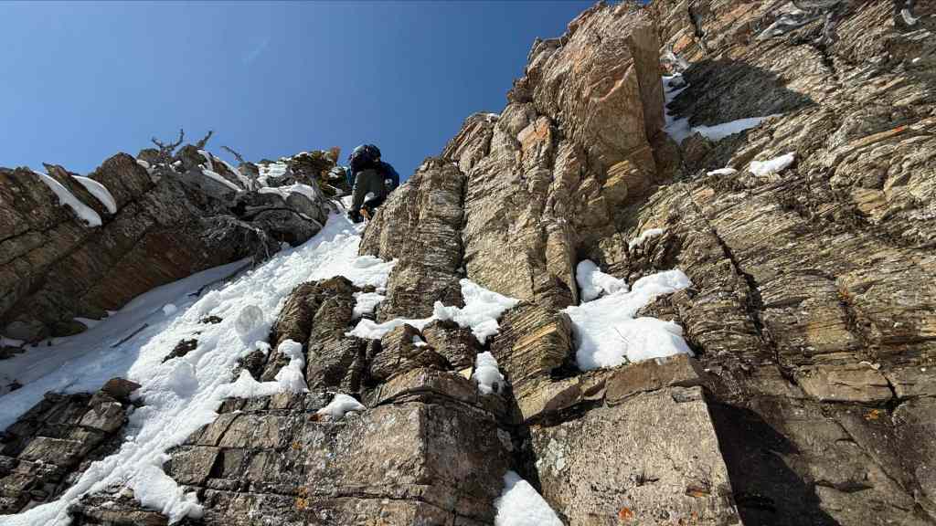
Andy negotiates a steep step.

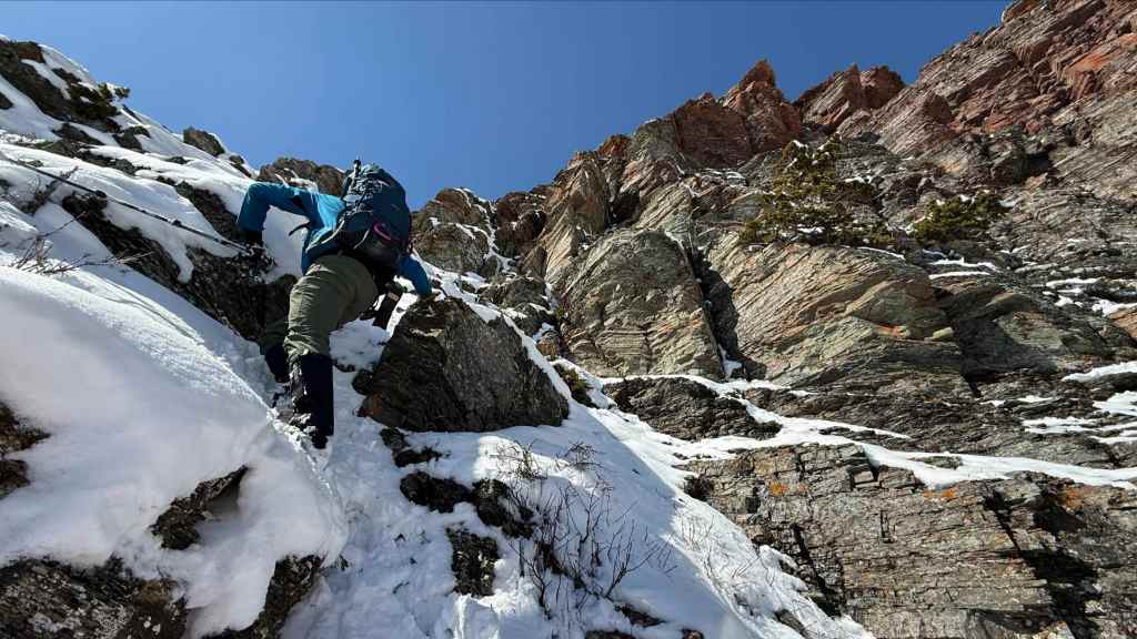
A bit of scrambling was required in the upper reaches. (Photo by Andrew Nugara)
The cliff band at the top is impressive. (Photo by Andrew Nugara)
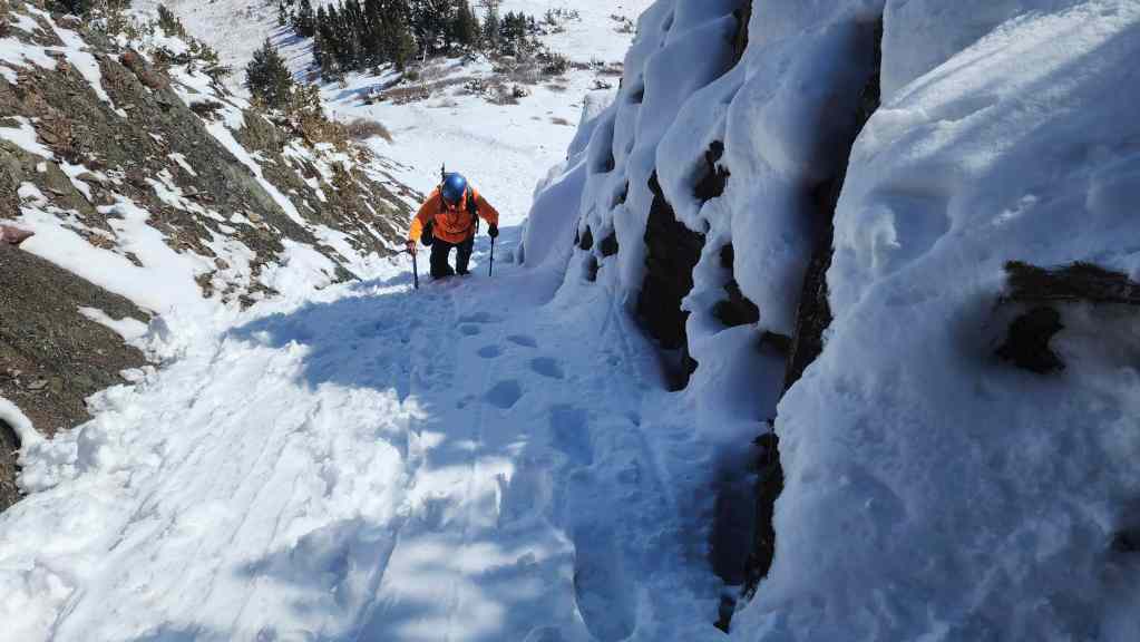
I tackle the final section before reaching the cliffs. (Photo by Andrew Nugara)

My view back and along the gully after reaching the top.

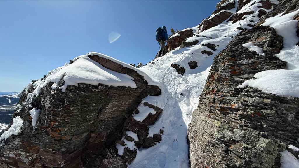
Andy is dwarfed by the impressive wall of rock.
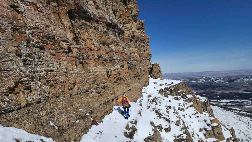
Though we could have gone to climber’s left, we decided to traverse beneath the cliffs to climber’s right.
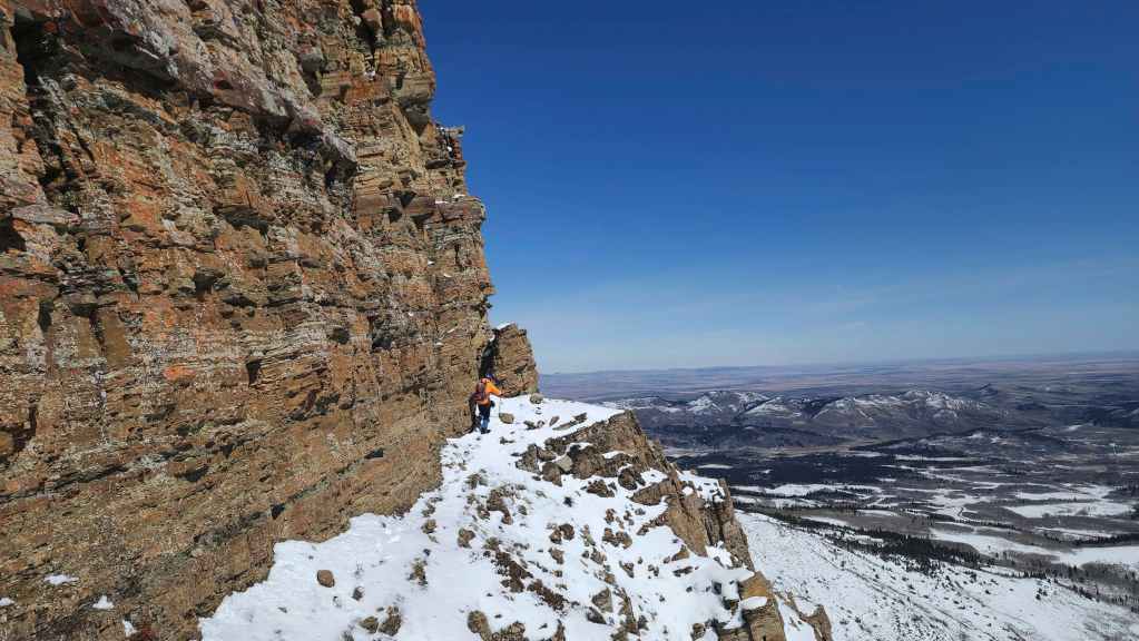
Andy nears a corner…
And after reaching it, peers over the edge.

Andy’s view back to me. (Photo by Andrew Nugara)
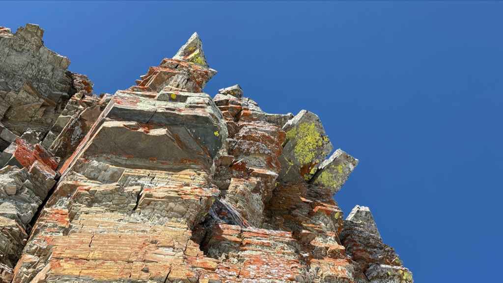
Some unique rock adorns the top of the cliff. (Photo by Andrew Nugara)

A closer look at the above rock formations. (Photo by Andrew Nugara)
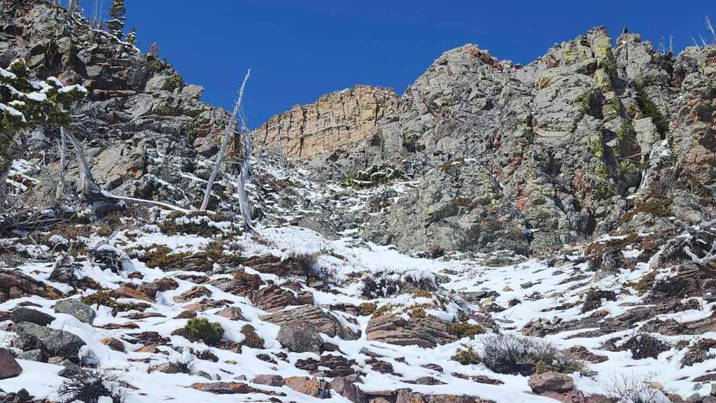
Continuing our traverse. It was in this section that we discovered a potential summer route via a nice chimney. I guess we’ll have to come back one day and try it. 🙂
Andy’s view back to me. (Photo by Andrew Nugara)

Rounding another corner and finding ourselves above the Northeast Face Route. (Photo by Andrew Nugara)
Making the quick scramble to the top of the cliffs. (Photo by Andrew Nugara)

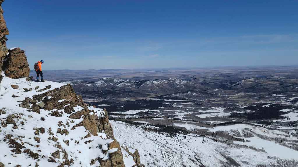
Looking back and over to Prairie Bluff.
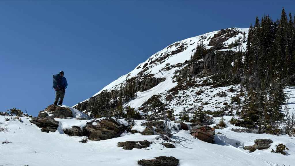
The summit isn’t far from here! I’ll ascend the snow slope in the centre while Andy will choose a line near the trees on the right. (Photo by Andrew Nugara)
I head up… (Photo by Andrew Nugara)

While Andy keeps admiring the rock. (Photo by Andrew Nugara)
Another look over to me, before moving on to try a different route. (Photo by Andrew Nugara)
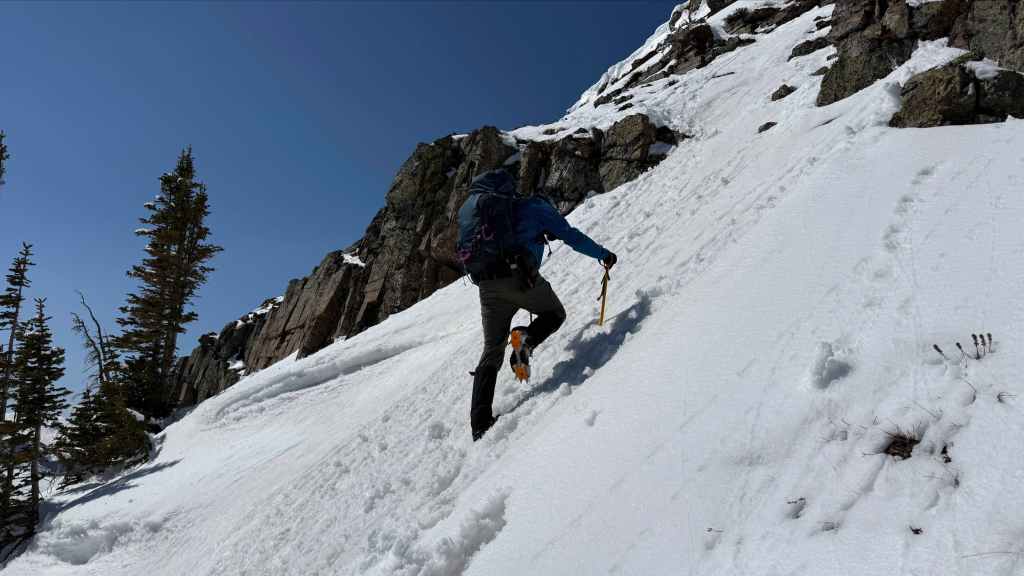
A rather abrupt section beneath the summit. (Photo by Andrew Nugara)

Getting past the cornice will be a bit of challenge. (Photo by Andrew Nugara)
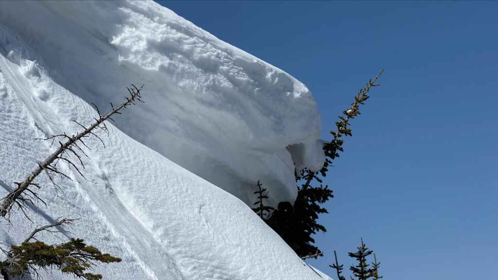
Hang ten! (Photo by Andrew Nugara)
Andy finds a good route to the top… (Photo by Andrew Nugara)

And reaches it in time to watch me struggle to overcome the cornice. (Photo by Andrew Nugara)

I’m sure I looked a bit like Ace Ventura emerging from the rhino. 😂 (Photo by Andrew Nugara)
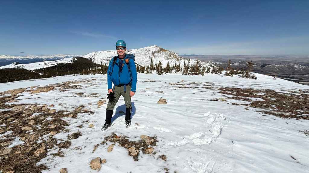
Made it! (Photo by Andrew Nugara)

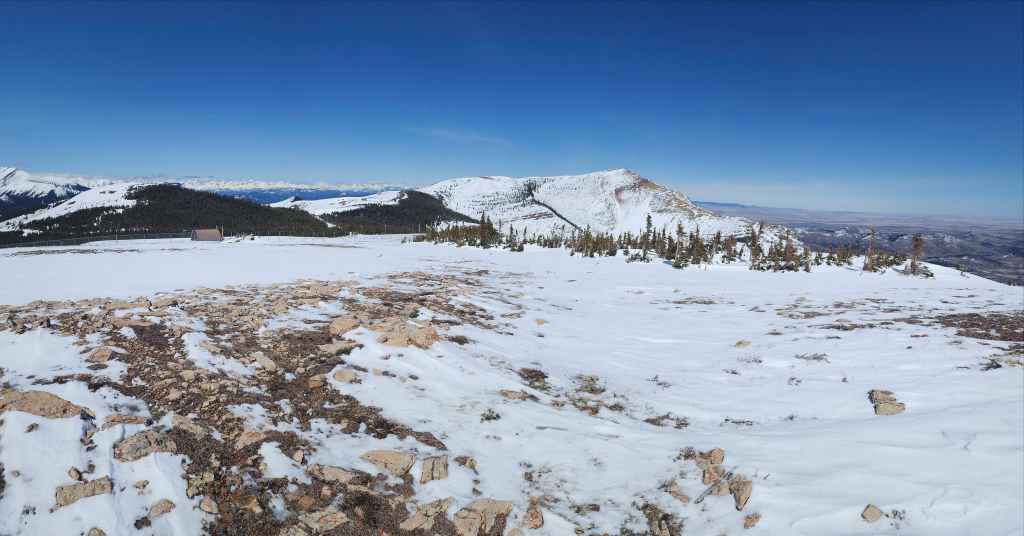
The summit of “Prairie Fire” (2131 m).

A pano to the south…

Then to the west.
Looking north…
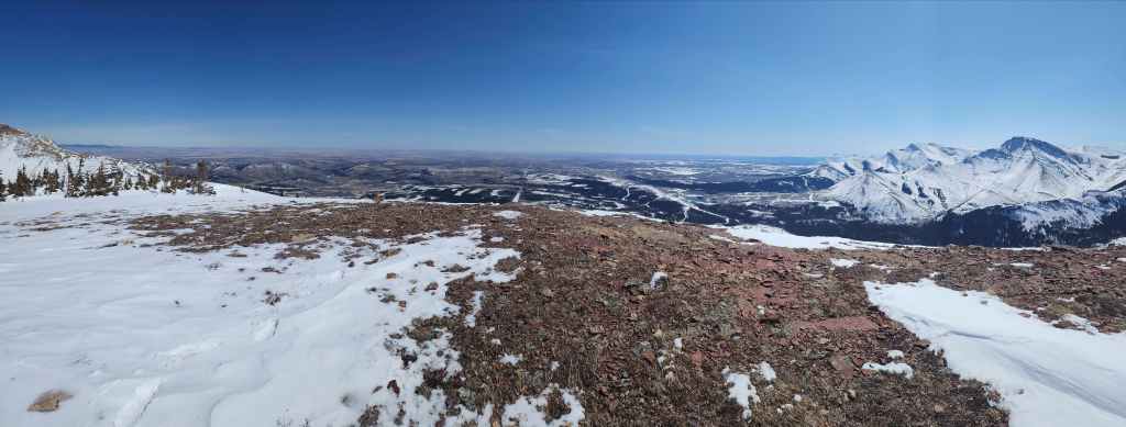
And finally, a pano to the east.
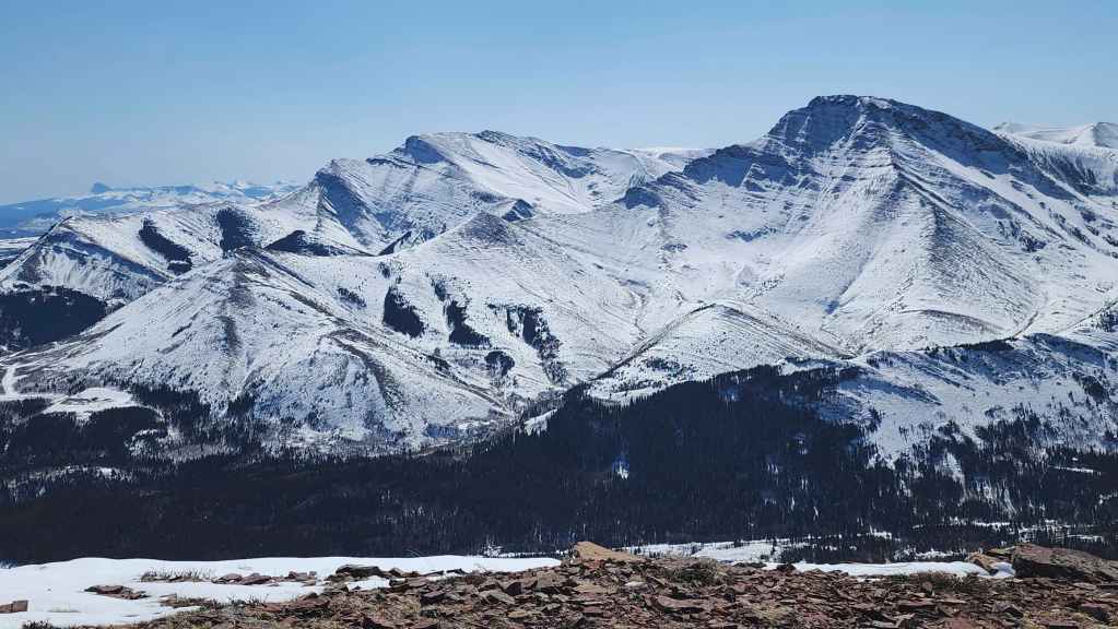
Looking across to Drywood Mountain (centre) and Pincher Ridge (right).

Two other fun winter destinations: “The Horn” (left of centre) and “Prairie Sky” (foreground).

Victoria Peak (centre) steals the show
Windsor Mountain (left) and Castle Peak (right of centre).
The always tasty, “Prairie Oyster” (centre).

There are so many ways to get to the top of Prairie Bluff. With easy access, it really is the ultimate winter and shoulder season playground.

I’ve wanted to get up Mount Darrah for years. I thought I was going to get the chance in 2025, but it didn’t work out. Here’s hoping 2026 is the charm.
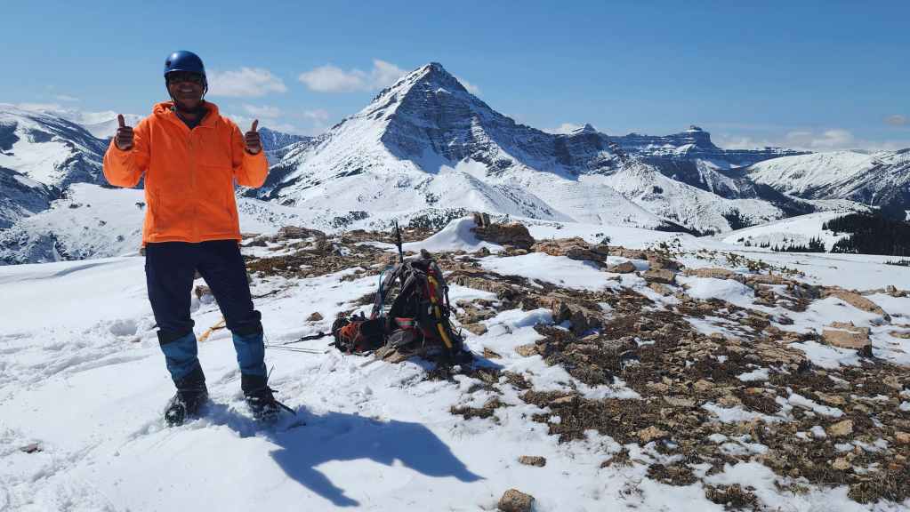
Thumb’s up for a great little trip!
If you stare too long at the gap in my teeth, you will succumb to my algorithm. 😂 (Photo by Andrew Nugara)
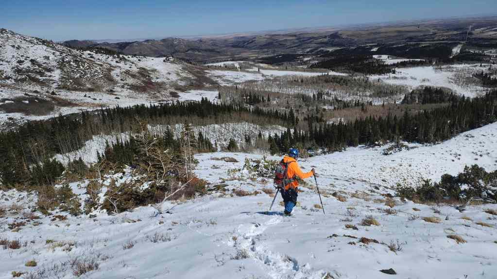
Taking the easy way back.
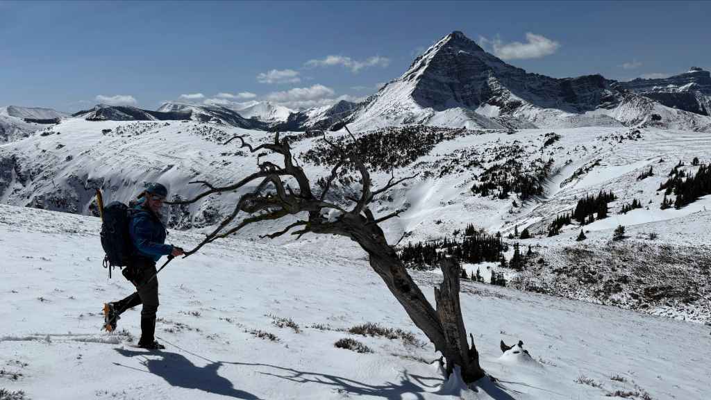
Dancing with a tree. (Photo by Andrew Nugara)
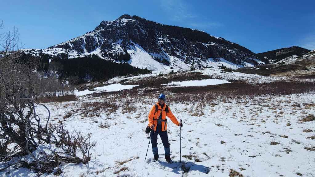
Admiring the snow on “Prairie Sky”.

We stayed at a higher elevation while traversing along the south side of “Prairie Fire” and came across this massive boulder.

Andy’s view back. (Photo by Andrew Nugara)
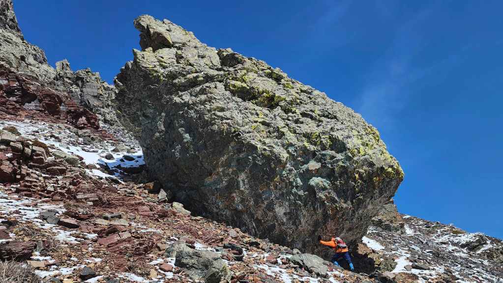
Sisyphus and his rock. 😂
The other side of the giant boulder.
Continuing to traverse back to the base of the couloir. (Photo by Andrew Nugara)

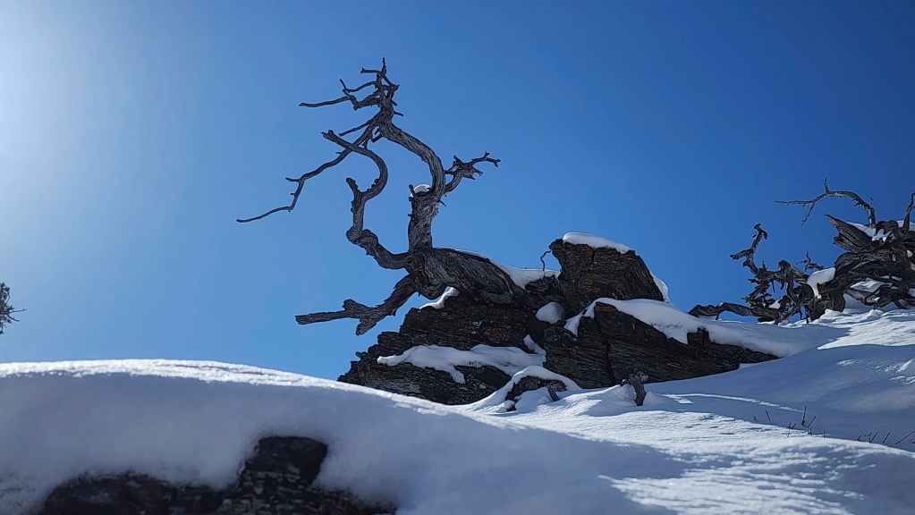
A super interesting piece of wood. I see the entire thing as the head of a dragon with an upper lip that looks like a goose and a lower lip that looks like a snake. Mind you, I too have stared into my tooth gap and my brain is now mush. 😂 (Photo by Andrew Nugara)
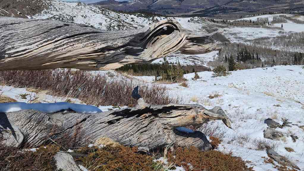
The goose and the snake. Maybe in my next career I’ll open a pub under that name? 🤔
Back onto easy terrain. (Photo by Andrew Nugara)
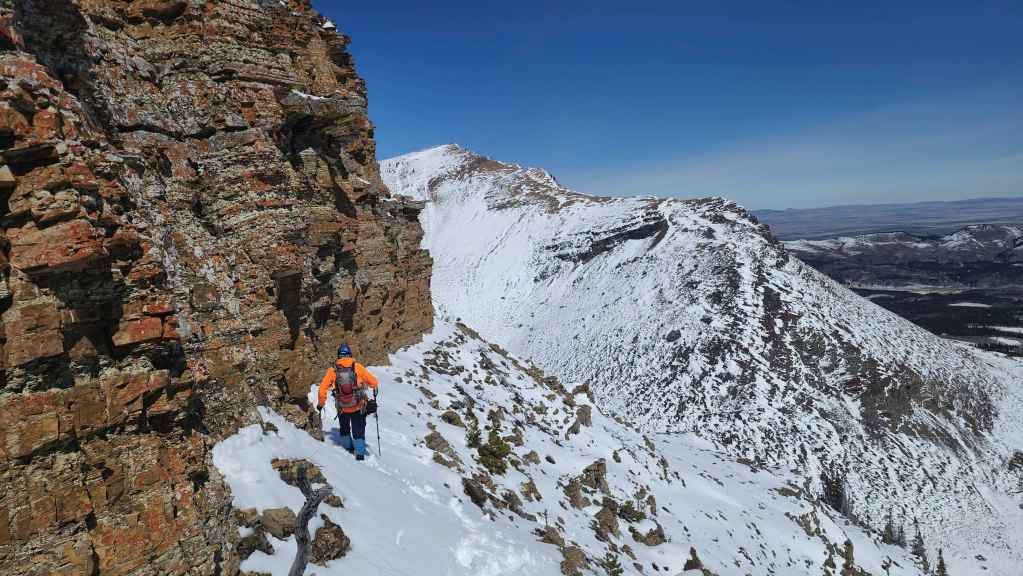
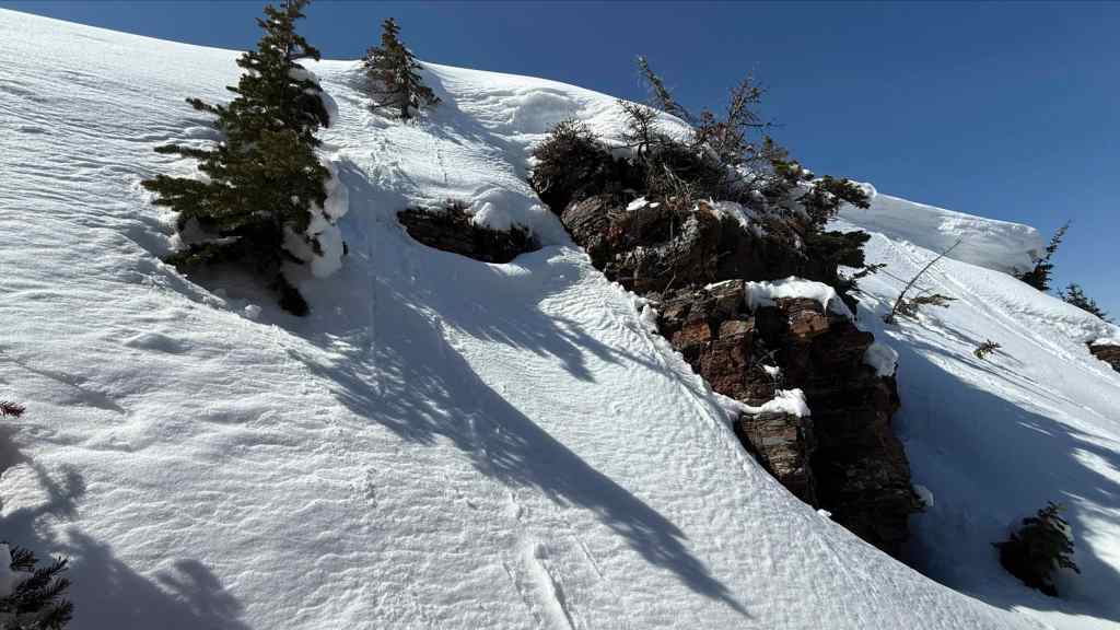
The “Sleeping Princess” couloir is in the centre while our originally targeted couloir is on the left. I think we made a way better choice.
We’ll soon join a fabulous trail that we could have used earlier in the day.

Crossing a small creek.
A final look back at the northeast face of “Prairie Fire”.

Enjoying beautiful weather as we make the easy hike back to my truck.
Arriving back at my truck 5 hours and 22 minutes after starting. Like it’s big brother, Prairie Bluff, “Prairie Fire” once again delivers a quick and interesting winter route. I know it may be excessive or unnecessary to once again praise these these little peaks, but since I myself have become somewhat of an expert on redundancy, I will keep doing it. They are just that fun! Thanks again to Andrew for another glorious day in the mountains and to my intestines for remaining inside my body. Hopefully I can get out again before I’m out of commission for the month of May…🤞


Leave a Reply