

⚠️ Hiking and scrambling are inherently dangerous activities. Please read my Disclaimer. ⚠️
Thirty minutes after leaving Medicine Peak, I arrived at the exposed pinnacles that Sonny Bou used to reach the summit of Mount Henry. At first I was pretty gung-ho to try them and ventured onto the first one before the rational part of my brain reminded me that while it might only be a few minutes to the summit, it would be seconds to my death if I were to fall. I then sat down on the pinnacle and let this inner dialogue play out before eventually deciding that Sonny is a much braver man than I. 🙂
Rejecting this route committed me to making the tedious descent around the south side of the summit before ascending up a wide, but easy gully. In hindsight, I realized that this was not the gully described by Edwards in, A Climbers Guide to Glacier National Park, and used by Nugara on his 2011 trip. I had come to that gully shortly after descending from the pinnacles and had started to climb it, but I wasn’t sure if it was a viable route and did not want to waste time down-climbing if it turned out to be a wild goose chase. Instead, I continued to lose elevation as I followed the base of summit before eventually arriving at the easy gully. This added an extra 50 minutes (one way) onto my trip, whereas the other routes would’ve allowed me reach the summit much quicker. This then, made the decision for me that given my tight time schedule, Henry would have to be my last peak of the day.

To get to Scenic Point from Lethbridge, drive south on Highway 5 to Cardston, then take Highway 2 to the Piegan-Carway Border Crossing. Once across, continue on Highway 89 for ~65 km until you come to the turnoff for MT 49 and East Glacier. Follow MT 49 for ~12 km until you come to the junction with Two Medicine Road. Turn onto it and follow it to the Glacier Park entrance gate. From the gate, drive ~4.3 km to the Scenic Point parking lot (left side of the road) and park here. The trailhead begins near the entrance.
The trail was easy to follow as it wound its way for ~6.4 km (653 m elevation gain) to the summit of Scenic Point. To get to Medicine Peak, I doubled back along the trail for a few hundred metres before leaving it and hiking cross country for ~1.3 km to its col with a minor high point above Appistoki Creek. To save time, I headed straight up Medicine Peak’s northwest slope and through several easy bands of red argillite. Mount Henry sits only ~1.5 km away from the summit of Medicine Peak, but depending on your route to the summit, it could add more distance. As I chose the easiest route via a broad gully, I also committed myself to an additional ~1.26 km in distance (one way) with a ~108 m elevation loss then a ~156 m elevation gain to the summit. I should have used the first gully that I came to, but was so pressed for time, that I did not want to try it and then discover that it wasn’t viable – though in hindsight, this is the one Edwards mentions. Oh well!
From Mount Henry, I followed my same route back to Medicine Peak and descended to its col above Appistoki Creek. I then skirted the west side of the minor high point before dropping down a gully to the big hairpin on the lower section the Scenic Point trail. From here it was a quick walk back to my 4Runner.

My total distance travelled was 21.5 km with total elevation gains of 1533 m. My total roundtrip time was 7 hours and 9 minutes.

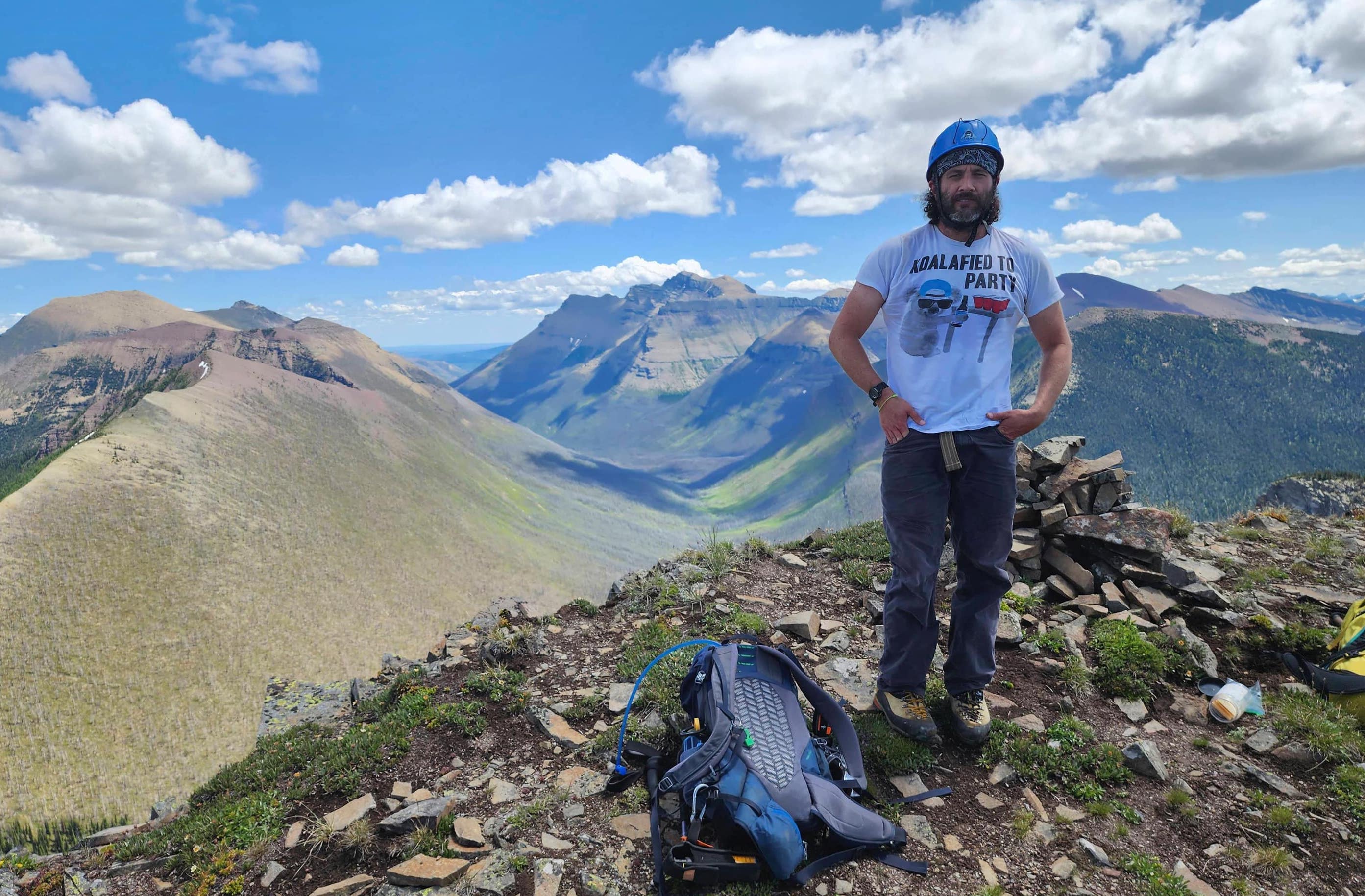
Leaving the summit of Medicine Peak and heading towards Mount Henry (right of centre).

The ~1.5 km ridge walk was quick and enjoyable.

Glancing back to the day’s earlier summits of Scenic Point (centre) and Medicine Peak (right).

I wish it hadn’t of been so hazy as Mount Henry has an impressive north face. In the background is H1, a 2646m high point that serves at the connecting point for the ridge to Mount Ellsworth, the ridge to Appistoki Peak, and the ridge to Mount Henry.

More interesting terrain along the ridge.

A closer look at the north face of Mount Henry.

Arriving at the pinnacles.

Using these pinnacles to reach the summit would have saved me a considerable amount of time. However, the exposure was a little more than I was willing to try.

Not using the pinnacles meant losing elevation as I searched for alternate ascent gullies.

This is the gully that Edwards refers to and which Nugara used on his trip – though I didn’t recognize it at the time. I started to make my way up, but decided that if it didn’t work out, I’d waste too much time down-climbing as it is much steeper than it appears. In hindsight, I should have used it. Doh!

Now that I had rejected the first two options, I had little choice but to continue circling the mountain to find the easy gully – which starts at the base of the tall cliff on the far left.

To reach the gully, I had to lose ~108 m in elevation. I then had to ascend ~156 m elevation up the gully to reach the summit. I should have used the first gully…

Looking up at the summit from the top of the gully.

The view back down the gully.

The summit of Mount Henry (2710 m). Sadly, I could not find a summit register.

A pano to the west.

A pano to the north.

A pano to the southeast.

The view back to Medicine Peak.

Gazing across the valley to Scenic Point. The trail is quite noticeable on the left.

Looking to the northwest at Appistoki Peak (foreground) and Rising Wolf Mountain (left).

A telephoto to the west of distinctive Flinsch Peak (right of centre) and Mount Stimson (left)

A telephoto of H1 (foreground right of centre) with Sinopah Mountain (far right) and Mount Rockwell (far left) behind it.

The view to the southwest of Mount Ellsworth (foreground) that Andrew Nugara included as part of his Scenic Point Loop traverse. I will try to include this and Appistoki Peak when I return. The large peak behind Ellsworth is Grizzly Mountain.

A comprehensive view of the connecting ridge between H1 (far right) and Mount Ellsworth.

A telephoto to the south of Bearhead Mountain (right of centre).

Using the easy gully to ascend meant that I did not have time to include any more peaks, as I had to get back to Lethbridge. As both Sonny and Andrew indicated that getting off of Appistoki was far more time consuming than it looked, I decided to retrace my route and return to Medicine Peak.

Heading back down the gully…

and then regaining…

and regaining…

elevation back to the eastern side of the pinnacles. I should’ve used the first gully… did I say that before? 😉

Easy hiking back to Medicine Peak, and though I was somewhat tempted to try for Bison Mountain (far right), I knew that I did not have the time.

Looking back after leaving the summit of Medicine Peak.

Bison Mountain and The Head would not be hard to reach from here… Why they have official names is really weird.

Instead of descending through the argillite bands on the northwest slope of Medicine Peak, I curled further to the east and then angled my way down to the col. Once on the col I would traverse the west face of the high point in the foreground before descending down a gully to the trail.

The view back to Medicine Peak and Mount Henry from the col.

Heading towards the high point.

The first of many sheep that would encounter on my way down.

Looking down the gully that I used to reach the trail.

Arriving at the hairpin curve. It was an easy walk back from here.

Why hello sir!

Who will move first?

Sheepers! More sheep!

Arriving back at my 4Runner after 21.5 km and 7 hours and 9 minutes. I had waited a long time to visit this locale and even though I didn’t complete the true Scenic Point Loop, I still had a great experience. I’m looking forward to returning to tackle more peaks including Appistoki and Ellsworth – maybe an initial ascent up Appistoki with a trip to Ellsworth and then a descent via Never Laughs Mountain? Who knows, but there are definitely lots of options!


Leave a Reply