


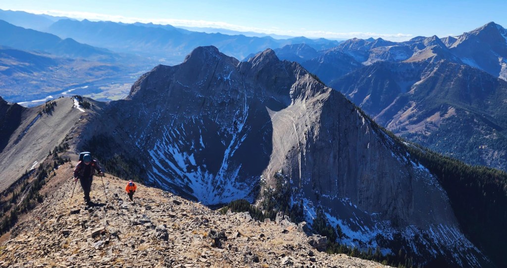

⚠️ Hiking and scrambling are inherently dangerous activities. Please read my Disclaimer. ⚠️
Foregoing a second attempt (for now) of Ghostrider’s true summit from the north, we set off from the col toward the summit of Mount Hosmer. For Andy, this would be a repeat trip having made the ascent only a few weeks prior with his brother, Mark; albeit under mostly whiteout conditions.
As a consolation, our real purpose in visiting Mount Hosmer, was to continue past the summit; venturing north and along the ridge to tag the slightly higher, unnamed summit that we are calling, “Hosmer North”. Of course, for Brad and I, visiting both summits would be a first, but it felt good to add on a new peak for Andy. 🙂
Mount Hosmer along with the unincorporated community, Hosmer, are named after Charles Rudolf Hosmer (1851-1927), who was a prominent member of the Montreal elite. Among his accomplishments – and that which had the mountain and mining town named for him in 1906 – was his role as the General Manager of the Canadian Pacific Railway (CPR) Telegraph Service. (source)
Following his retirement from the CPR, Hosmer became, “the president of Ogilvie Flour Milling Company and vice-president of Laurentide Pulp and Paper Company, as well as director of 26 other companies. In addition, he undertook an initiative on behalf of his friend César Ritz to bring a luxury hotel to Montreal. With the support of a group of businessmen, the Carlton Hotel Company, investment arrangements were begun in 1909, and the first guests were welcomed in 1912.” (source)
As for Hosmer’s legacy in the Fernie area, the mining town of Hosmer emerged after construction began on the Hosmer mine in 1906. (source) After the mine opened in 1908, the town grew to around 1200 people that as John Kinnear observes, “included four hotels, several churches, and even an opera house that ran silent movies.” (source) As it was the first mine the CPR owned in the region; it had invested considerable finances into construction. (source)
Unfortunately, the CPR abruptly closed the mine in 1914, only six years after it opened. (source) This was due in part to “difficult geology” (source) along with other economic factors. (source) After the closure of the mine, the majority of the population moved away; however, it resisted becoming a ghost town and several of the mine ruins remain for the public to explore. (source)
Our trip itself from the col with Ghostrider to the summit of Hosmer was an uneventful and enjoyable ridge walk. Save for one small section just prior to the summit where the ridge narrows considerably, the trip is straightforward.
I will note, that unlike our approach to the Three Sisters along Heiko’s trail, the trail from Ghostrider to the Hosmer col is not as well-maintained as it undoubtedly sees less traffic. Indeed, the trail to the hiker’s summit of Ghostrider is decidedly more trodden than the branch to the Hosmer col. However, I’m always glad when there’s even a rudimentary trail to use on approach, so I have no complaints other than being spoiled by Heiko’s trail. 🙂
Be sure to read Andy’s excellent trip report! [link coming]


*** After losing my GPS two weeks ago somewhere along Hartley Lake Road, I still haven’t found a replacement. Thankfully, Andy had his GPS and I’m grateful to him for sharing the data. ***
To get to the Mount Hosmer trailhead, we drove west from Sparwood along Highway 3. After passing the hamlet of Hosmer, we followed the highway across a bridge over the Elk River. Once on the other side, we continued for ~4.7 km until we came to the turnoff for Dicken Road on our right.
Turning onto Dicken Road, we drove for ~500 m until we came to the turnoff for Hartley Lake Road on our right (note a small homemade sign on a telephone pole is the only identifier). We turned right and followed Hartley Lake road for ~6.8 km until we came to the trailhead at the side of the road. The small parking area across from the trailhead was our starting point.
The trail rises sharply a short distance beyond the trailhead, with numerous short and long switchbacks covering the ~2.7 km (557 m elevation gain) distance to the col between Ghostrider Peak and Ghostrider North. For reference, it took us exactly 1.5 hours to reach the col from the trailhead (300 m elevation gain)
Once on the col, we followed the trail toward Ghostrider Peak, noting that only a small cairn marked the junction with the trail to Mount Hosmer. From the cairn, the trail is clearly demarcated as it ascends the west slope of Ghostrider to the summit ridge. Once on the summit ridge, the trail continues until it reaches the pinnacles just prior to the summit. For reference, from the point where we joined the col to the hiker’s summit of Ghostrider, it was ~1.9 km (361 m elevation gain) that took us almost exactly 1 hour. Further, from the trailhead to the hiker’s summit it was 9.2 km (918 m elevation gain)
After deciding not to attempt the pinnacles, we descended back to the junction with the Mount Hosmer trail where we set off for the col between Mount Hosmer and the north side of Ghostrider. Stopping for a quick lunch shortly before making the steep hike up to the col, we arrived on the col exactly 1 hour after leaving the junction with Ghostrider trail.
Deciding not to tackle a technical ascent of the north side of Ghostrider and to return at a later date, we lightened our packs of any unnecessary gear and headed up to the summit ridge of Mount Hosmer (2503 m). Approximately 45 minutes after leaving the col, we arrived on the summit of Hosmer. For reference, if I exclude our foray up Ghostrider’s hiker’s summit, it would have been a total of ~5.3 km (1107 elevation gain) over 3 hours and 15 minutes from the trailhead.
From the summit of Mount Hosmer, we then continued north and along the ridge for ~1.5 km (111 m elevation loss to col followed by a 128 m elevation gain) to the summit of “Hosmer North”. For reference it took us exactly 45 minutes to go from summit to summit.
After enjoying the views from “Hosmer North” we returned the way we came and arrived back at the trailhead 3 hours later.
Our total roundtrip time including our contemplations of Ghostrider Peak and the various summit stays was 9 hours and 30 minutes. Our total distance travelled was ~16.7 km and our total elevation gains were ~1800 m.
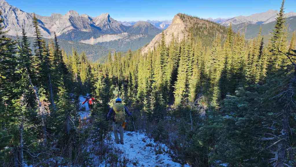
Descending from Ghostrider Peak to the Mount Hosmer trail.

The junction for the Mount Hosmer trail is marked by only a small cairn (upper left). Otherwise, no signage exists.
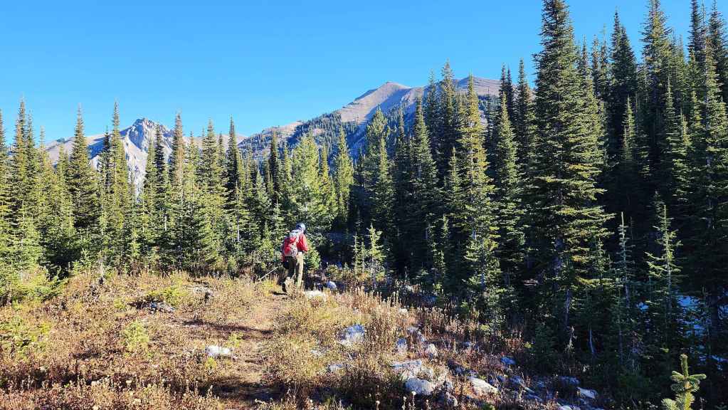
Starting down the trail. There are two different branches for the trail as it enters the forest. We used the one to hiker’s left on the way to Mount Hosmer and the one to hiker’s right on the way back. Both branches merge shortly before crossing the scree slope at the north end of Ghostrider.
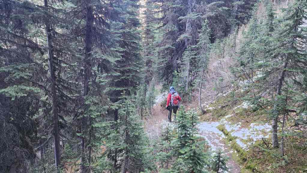
For the first kilometre or so, the trail makes its way through the forest.
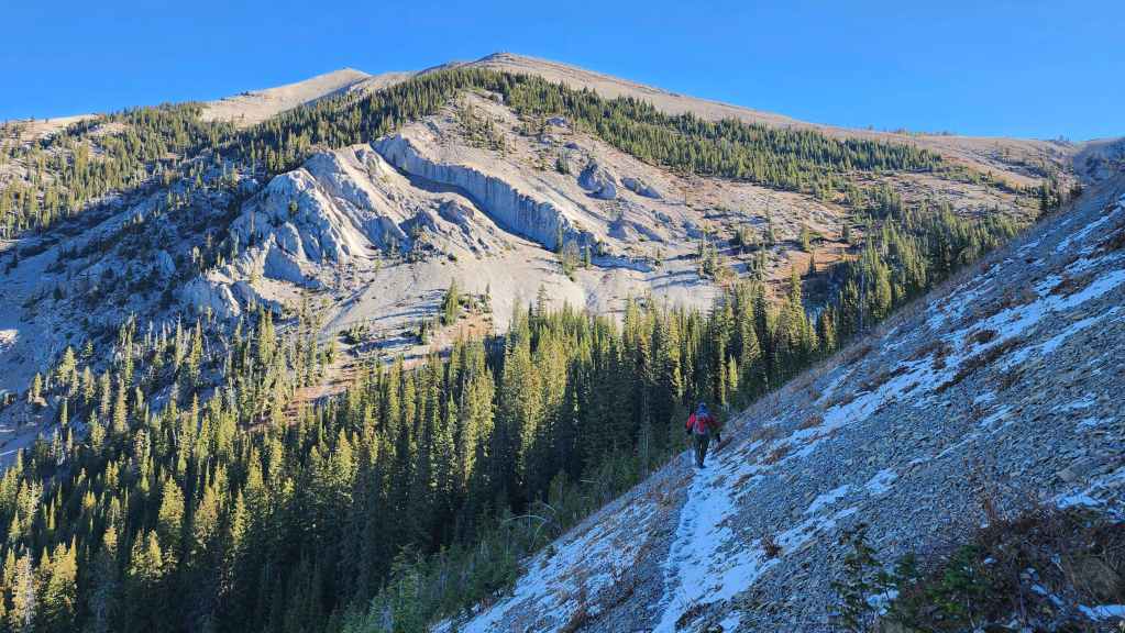
Crossing the scree slope at the north end of Ghostrider Peak. The col between Mount Hosmer and Ghostrider is on the far right.
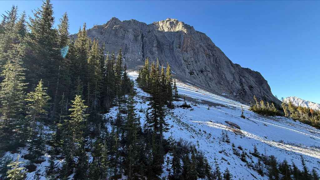
The north end of Ghostrider Peak.
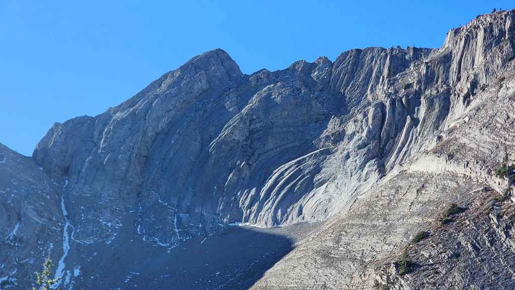
The view from the trail to Ghostrider’s summit – which from this angle, weirdly looks like Homer Simpson’s head. 😂 The pinnacles that we decided weren’t worth the risk, are to the right of centre.
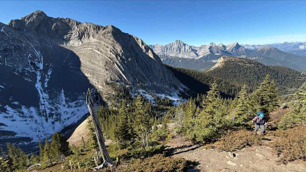
Finding and then staying on the trail is hit and miss once it starts up the south slope of the bowl. (Photo by Andrew Nugara)
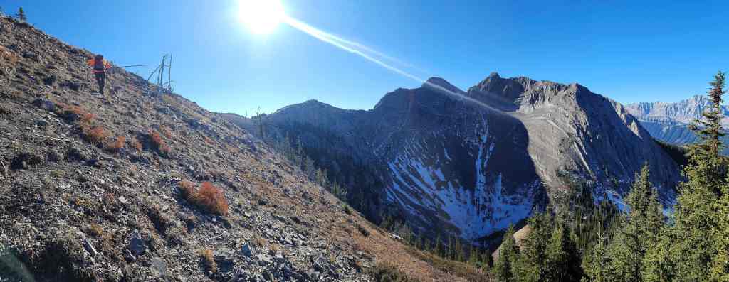

Approaching the Hosmer / Ghostrider col.
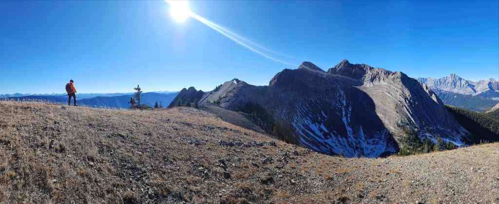

On the col and looking towards Ghostrider’s twin peaks. It was such a gorgeous day! 🙂 For reference, from

Andy takes in the view to the east and across the Elk Valley. In front of him are Hosmer Ridge (right of centre) and Sparwood Ridge (left).
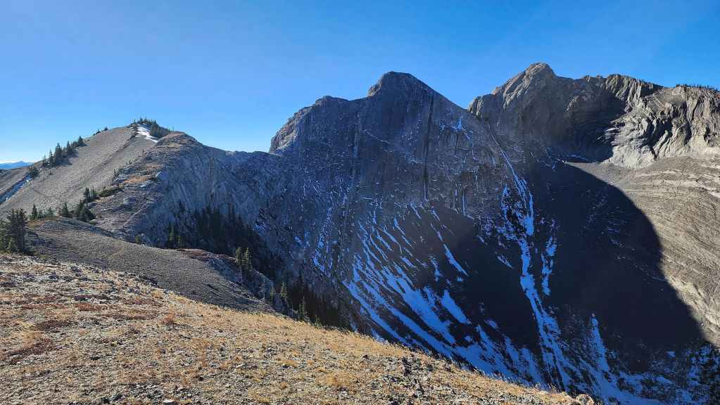
A closer look at Ghostrider’s eastern peak.
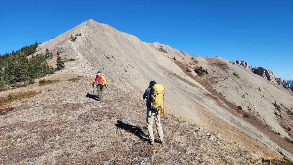
After making the decision to hold off on our attempt to summit Ghostrider from the north, we ditched some gear and set off for Mount Hosmer.
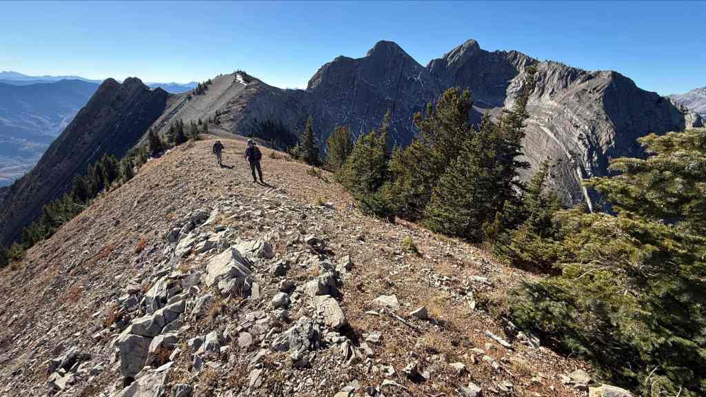
Looking back as we begin our hike to the false summit of Mount Hosmer. (Photo by Andrew Nugara)

Brad’s way ahead of us – mostly because he didn’t stop to chat with other hikers like Andy and I did. 😂 (Photo by Andrew Nugara)
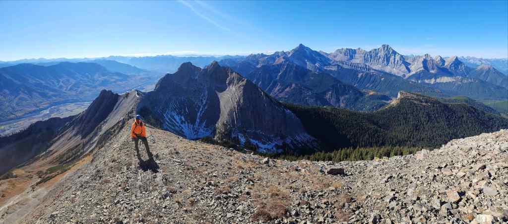

The higher we go, the better the views!
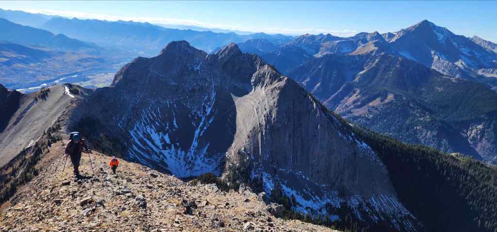

Brad’s view as he waits patently for us. (Photo by Brad Wolcott)
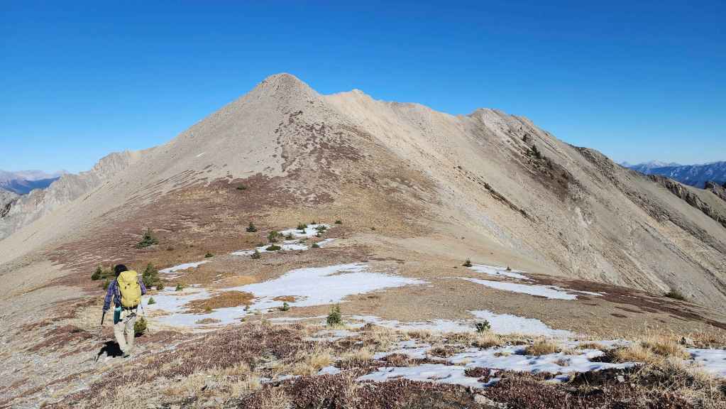
Approaching the false summit.

This was an enjoyable and straightforward ridge walk. (Photo by Andrew Nugara)

Andy leans into the terrain. In the background are Mount Bisaro (right) and Three Sisters (left).
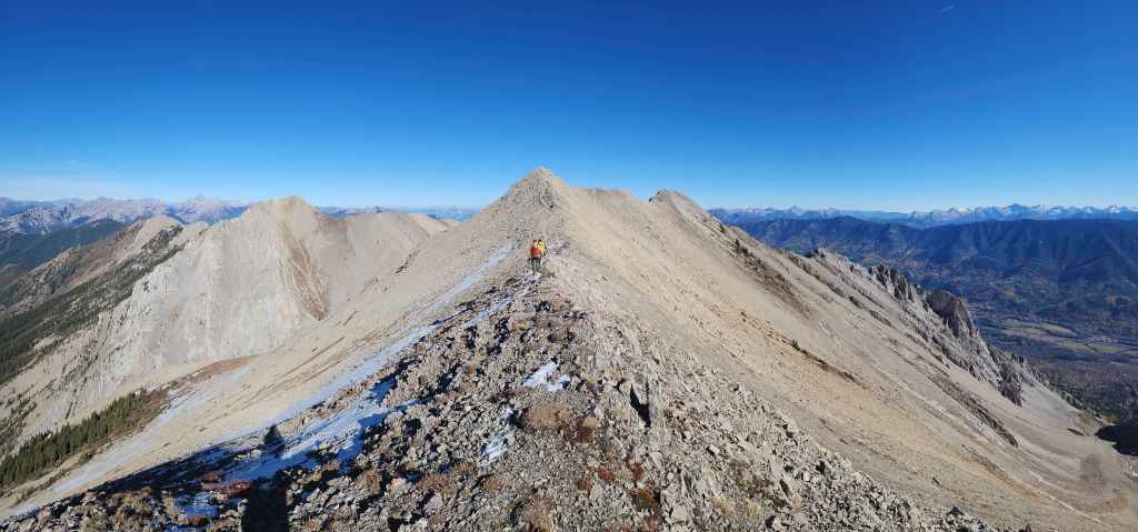

Approaching the false summit. The true summit is just to the right.
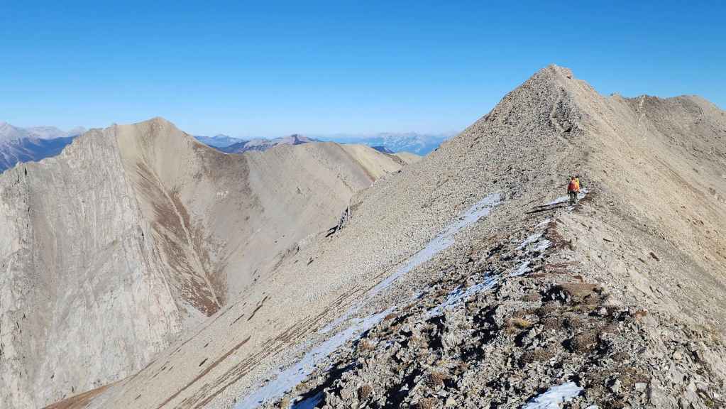
On the left is “Hosmer North” which is 17 m higher than the summit of Mount Hosmer.

A closer look at “Hosmer North” (2519 m) – at least that’s what we’re calling it. I couldn’t find any online trip reports or even an alternate name, so we kept the moniker as simple as possible. (Photo by Andrew Nugara)

Another look back. (Photo by Andrew Nugara)

Approaching the summit.
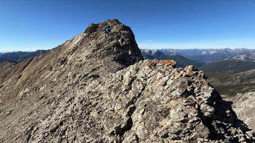
I follow close behind. (Photo by Andrew Nugara)

Crossing a short but narrow section of ridge. (Photo by Andrew Nugara)

Brad arrives on the summit of Mount Hosmer (2502 m).
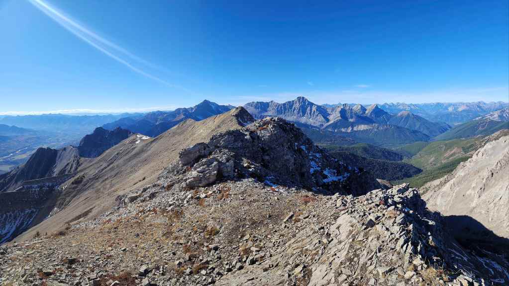
A pano to the south…


Followed by a pano to the north


Looking northeast…
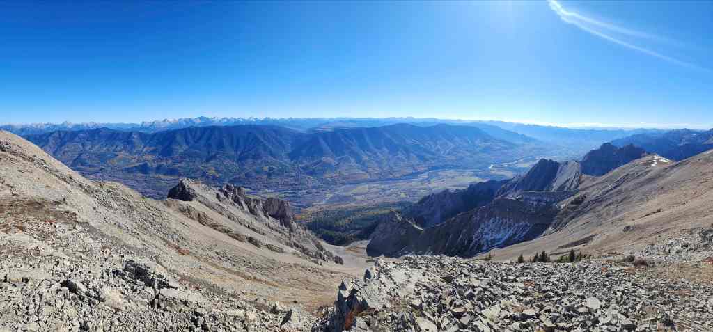

And then to the east.
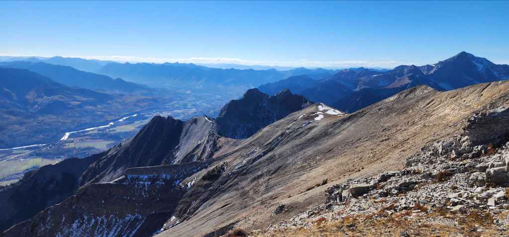
Finally, another pano to the south.
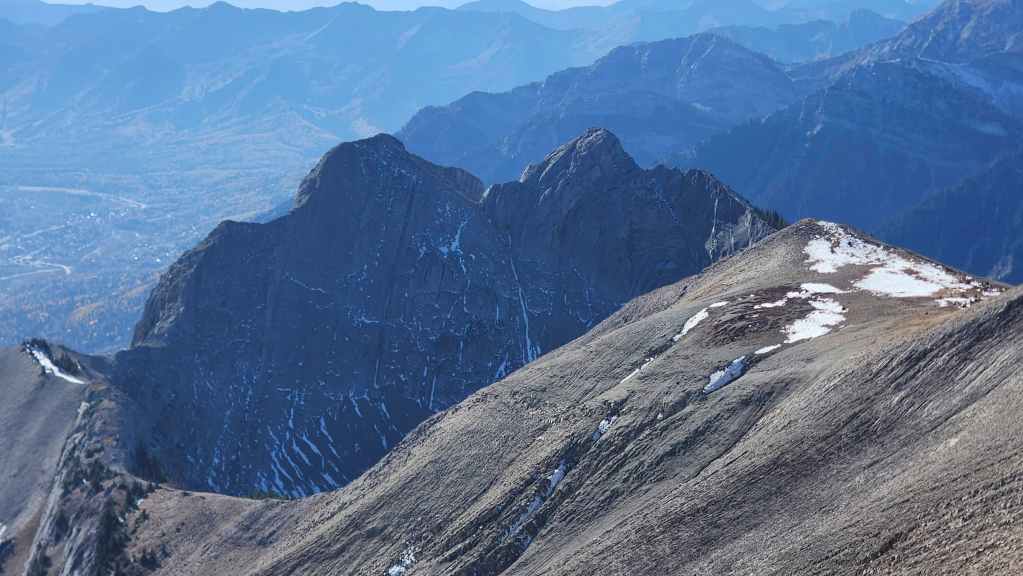
Zeroing in on Ghostrider Peak.
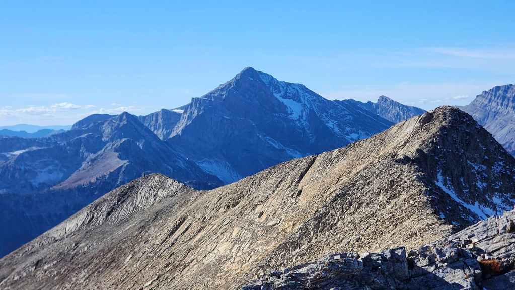
Three Sisters (centre) with Mount Proctor (left) and Bisaro S4 (right).
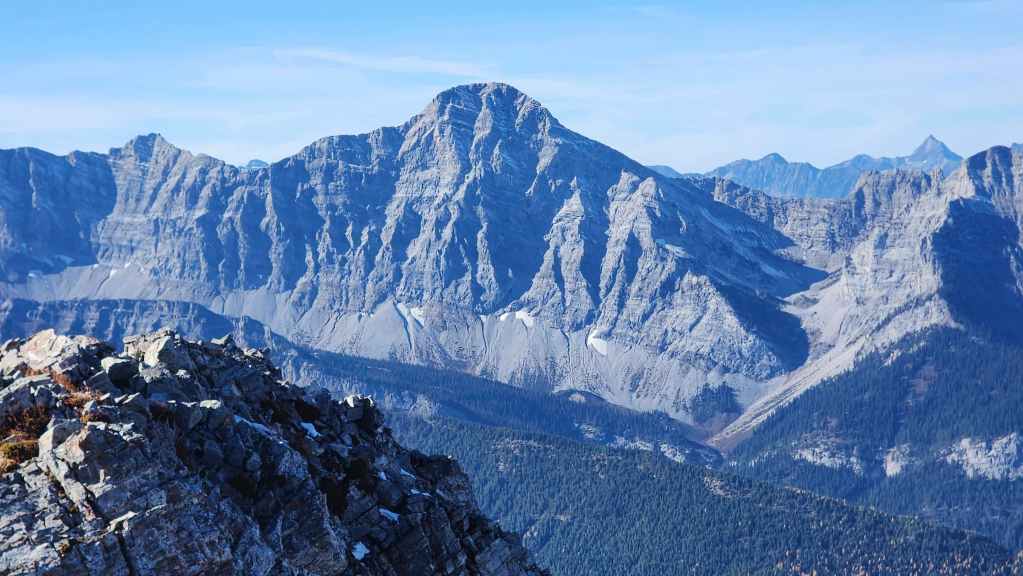
Mount Bisaro (centre) is a very cool mountain and so is Mount Fisher (far right).

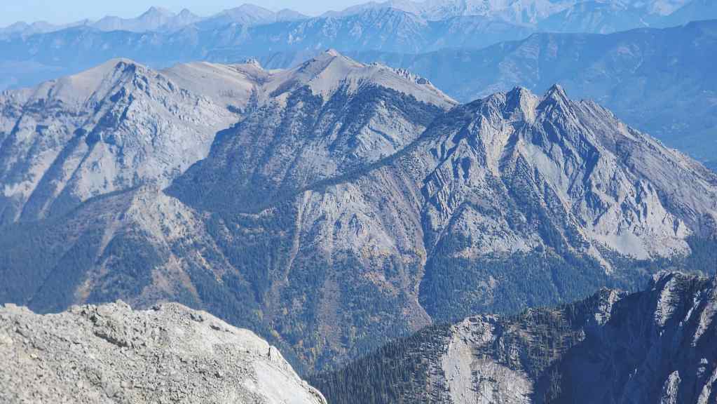
This distinctive unnamed peak caught my eye.
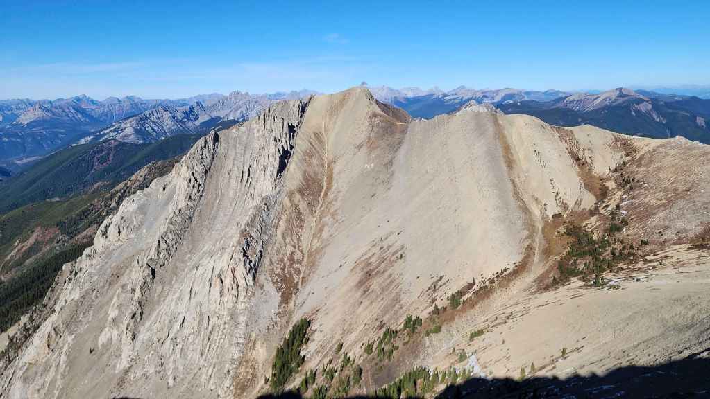
“Hosmer North” is only ~1.5 km from the summit of Mount Hosmer.
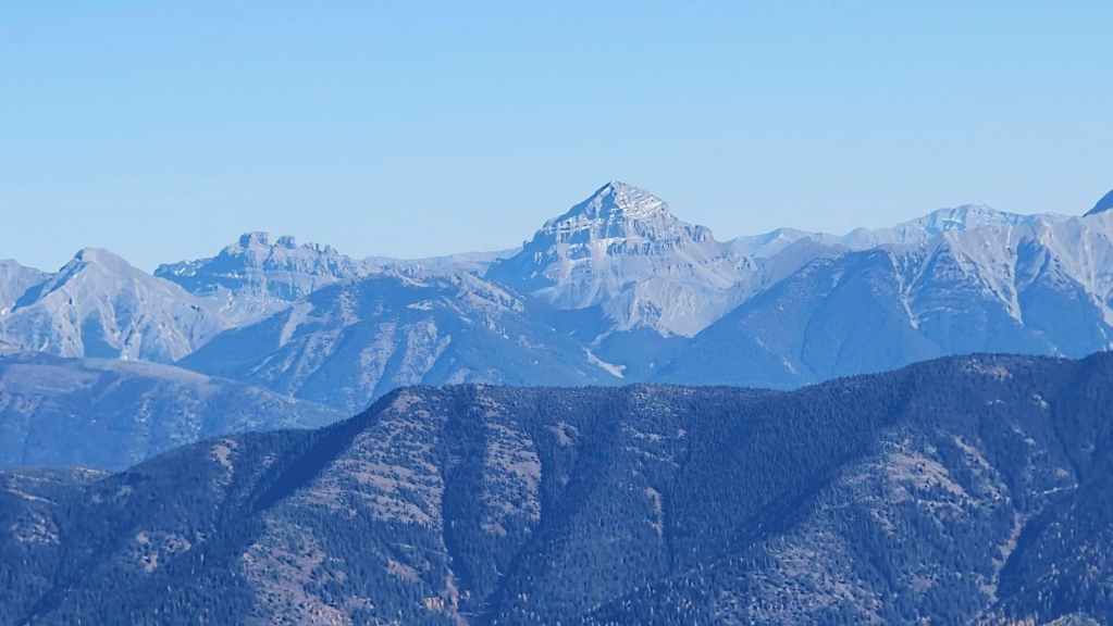
Looking into the Crowsnest Pass at “Deadman Peak” (far left), Seven Sisters (left), “Alexander Creek Mountain” (left of centre), and Omahkai’stoo (Crowsnest Mountain) (centre).
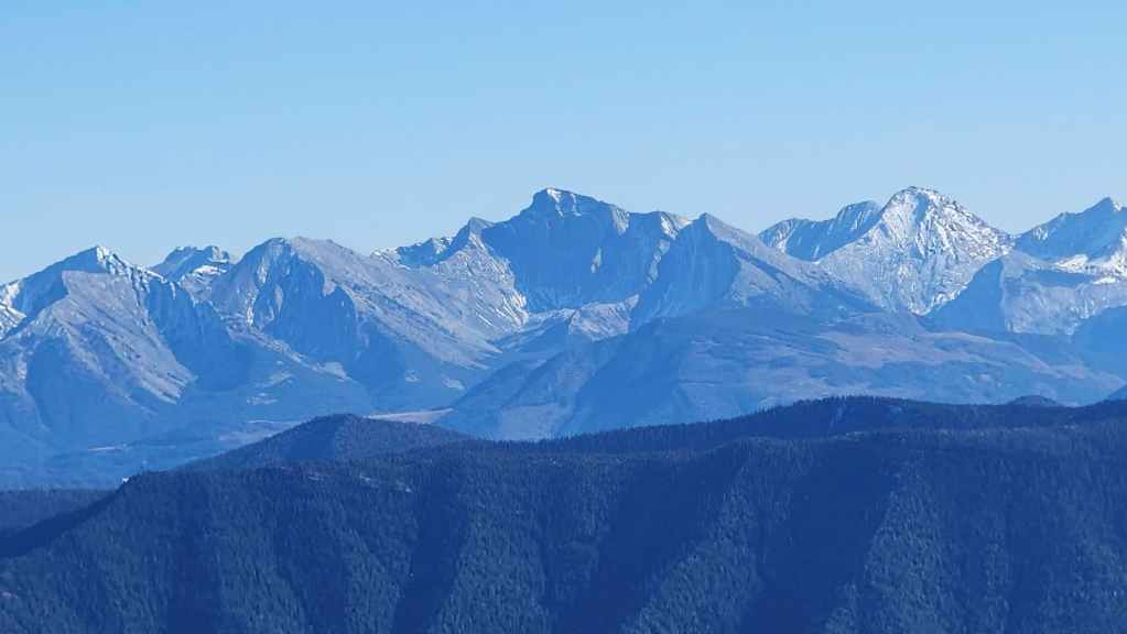
Still looking east, this time at Mount Ptolemy (centre) and the three peaks that comprise the Northwest Ridge of Ptolemy (left). Ptolemy SE5 (right) and Mount McGladrey (far right) are also noticeable.

We were amazed at how many larches were on Sparwood Ridge.
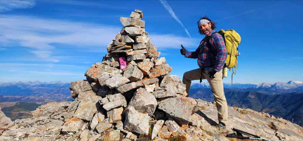
Brad being Brad. 😂
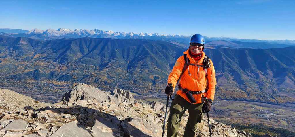
This was Andy’s second time on Hosmer. His first trip was only a few weeks ago.

Yours truly. (Photo by Andrew Nugara)
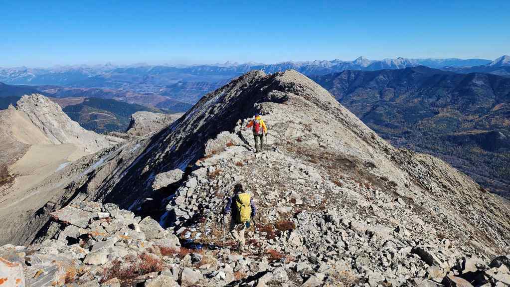
Since Andy was gracious enough to repeat Mount Hosmer, it was only natural that we’d keep going to see what the route was like to “Hosmer North”. 🙂