
⚠️ Hiking and scrambling are inherently dangerous activities. Please read my Disclaimer. ⚠️
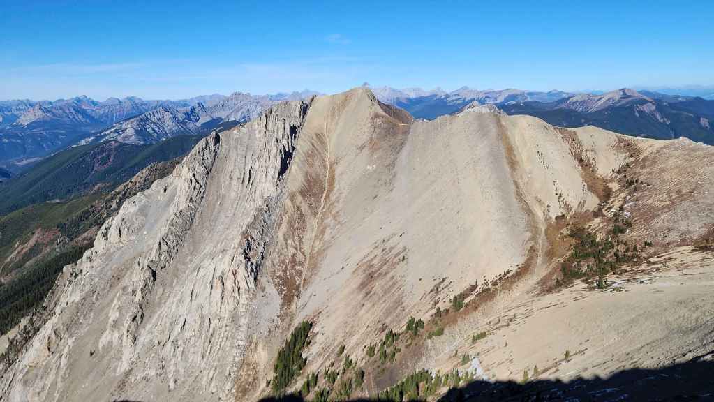
At the north end of the Mount Hosmer massif sits an unnamed peak that surprisingly, is the highest point on the mountain. Located only ~1.5 km away from the official summit of Hosmer, Andy and I noted the extra 10 m topo line during pre-trip planning. Of course, Andy and Mark had gotten a good look at it during their Hosmer trip a few weeks ago, but due to inclement weather, did not have the chance to explore anything beyond the official summit.
I’ve searched for a trip report on this peak and haven’t been able to find one. Even Peakery lists zero trips to what it simply calls, Peak 2510 m. Obviously, that means nothing; however, the lack of a trail leading from Hosmer along with the complete lack of a cairn – or even the remnants of a cairn – on its summit, suggests that what we’ve taken to calling, “Hosmer North”, is seldom visited.
Given the extra 10 m topo line it has over the official summit of Hosmer, it makes sense that Andy’s GPS recorded it as being 17 m higher than Hosmer, as Peakery’s calculation is based on the last topo line and not the small amount of terrain above it. Indeed, even from the summit of Mount Hosmer, “Hosmer North” looks higher and while that’s often a flawed method to gauge size, in this case, it’s accurate.
Reaching “Hosmer North” from the summit of Mount Hosmer was quick and easy. The descent from the summit of Hosmer to the col saw a brief narrowing of the ridge that could readily be avoided by sticking to hiker’s right. Once on the col (111 m elevation loss) we settled into the scenic hike and exactly 45 minutes after leaving the summit of Hosmer, we found ourselves on the expansive summit of “Hosmer North”.
The views from “Hosmer North” were excellent and from my point of view, it was completely worth the additional hour and a half that it added to our trip. The broad connecting ridge also featured an interesting outcropping of rock that looked to involve a short scramble to the top – though none of us tried it. The view off the north end of the outcrop was also dramatic.
All in all, “Hosmer North” was a fantastic consolation to not reaching the true summit of Ghostrider Peak. We’ll definitely be back to tackle the true summit of Ghostrider, but for today, a delightful ridge walk on a gorgeous fall afternoon was hard to beat.
Be sure to read Andy’s most awesome trip report! [link coming]

*** After losing my GPS two weeks ago somewhere along Hartley Lake Road, I still haven’t found a replacement. Thankfully, Andy had his GPS and I’m grateful to him for sharing the data. ***
To get to the Mount Hosmer trailhead, we drove west from Sparwood along Highway 3. After passing the hamlet of Hosmer, we followed the highway across a bridge over the Elk River. Once on the other side, we continued for ~4.7 km until we came to the turnoff for Dicken Road on our right.
Turning onto Dicken Road, we drove for ~500 m until we came to the turnoff for Hartley Lake Road on our right (note a small homemade sign on a telephone pole is the only identifier). We turned right and followed Hartley Lake road for ~6.8 km until we came to the trailhead at the side of the road. The small parking area across from the trailhead was our starting point.
The trail rises sharply a short distance beyond the trailhead, with numerous short and long switchbacks covering the ~2.7 km (557 m elevation gain) distance to the col between Ghostrider Peak and Ghostrider North. For reference, it took us exactly 1.5 hours to reach the col from the trailhead (300 m elevation gain)
Once on the col, we followed the trail toward Ghostrider Peak, noting that only a small cairn marked the junction with the trail to Mount Hosmer. From the cairn, the trail is clearly demarcated as it ascends the west slope of Ghostrider to the summit ridge. Once on the summit ridge, the trail continues until it reaches the pinnacles just prior to the summit. For reference, from the point where we joined the col to the hiker’s summit of Ghostrider, it was ~1.9 km (361 m elevation gain) that took us almost exactly 1 hour. Further, from the trailhead to the hiker’s summit it was 9.2 km (918 m elevation gain)
After deciding not to attempt the pinnacles, we descended back to the junction with the Mount Hosmer trail where we set off for the col between Mount Hosmer and the north side of Ghostrider. Stopping for a quick lunch shortly before making the steep hike up to the col, we arrived on the col exactly 1 hour after leaving the junction with Ghostrider trail.
Deciding not to tackle a technical ascent of the north side of Ghostrider and to return at a later date, we lightened our packs of any unnecessary gear and headed up to the summit ridge of Mount Hosmer (2503 m). Approximately 45 minutes after leaving the col, we arrived on the summit of Hosmer. For reference, if I exclude our foray up Ghostrider’s hiker’s summit, it would have been a total of ~5.3 km (1107 elevation gain) over 3 hours and 15 minutes from the trailhead.
From the summit of Mount Hosmer, we then continued north and along the ridge for ~1.5 km (111 m elevation loss to col followed by a 128 m elevation gain) to the summit of “Hosmer North”. For reference it took us exactly 45 minutes to go from summit to summit.
After enjoying the views from “Hosmer North” we returned the way we came and arrived back at the trailhead 3 hours later.
Our total roundtrip time including our contemplations of Ghostrider Peak and the various summit stays was 9 hours and 30 minutes. Our total distance travelled was ~16.7 km and our total elevation gains were ~1800 m.
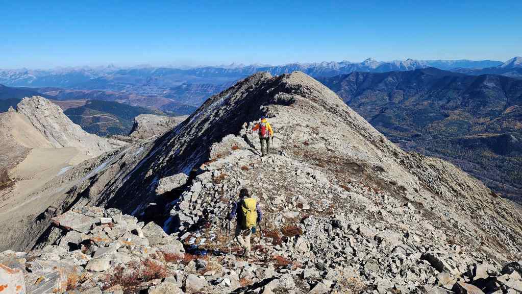
Leaving the summit of Mount Hosmer.

Descending to the col with “Hosmer North” (left).

Brad negotiates a narrow section of the ridge. I completely avoided this by sticking to hiker’s right. (Photo by Andrew Nugara)
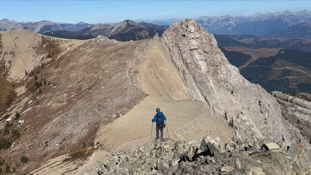
There’s an interesting outcropping of rock on the other side of the col. (Photo by Andrew Nugara)
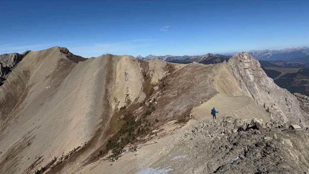
A broader view of the colourful ridge. (Photo by Andrew Nugara)

“Hosmer North” keeps looking better and better. 🙂

Looking back to the summit of Mount Hosmer (far right).

Arriving on the col. For reference, it was a 111 m elevation loss from the summit of Mount Hosmer. (Photo by Andrew Nugara)

Another glance back.

The rock feature looked even better from the col. (Photo by Andrew Nugara)
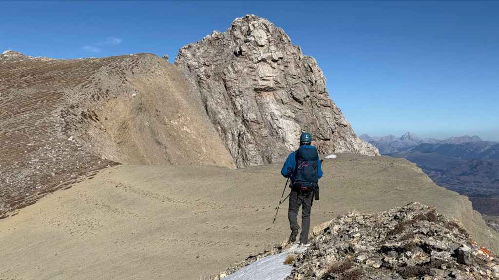
A closer view of the previous photo. (Photo by Andrew Nugara)

Starting up from the col. We will gain 128 m in elevation from here to the summit. (Photo by Andrew Nugara)

It looked to be a quick scramble to get onto the outcrop. (Photo by Andrew Nugara)
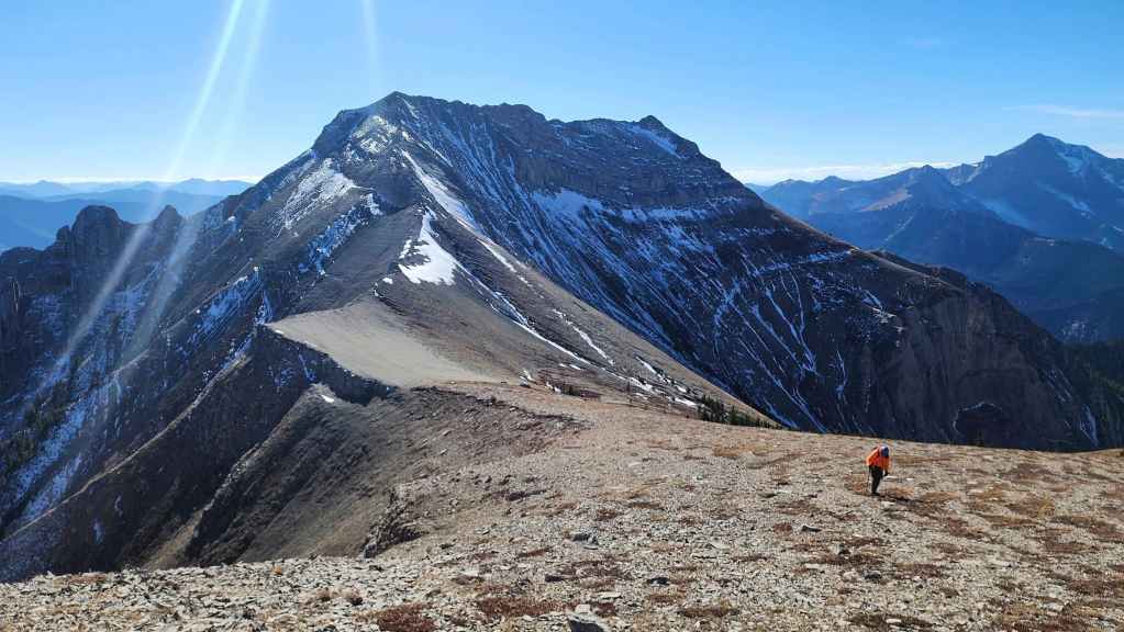
Looking back from the base of the outcrop.
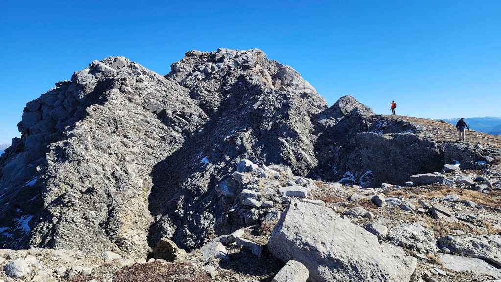
A better look at the unique formation.

The north side of the outcrop featured an interesting pinnacle. After our experience earlier in the day on Ghostrider, none of us were eager to explore it. 😂 (Photo by Andrew Nugara)

It was an easy hike from from the outcrop to the summit of “Hosmer North”. (Photo by Andrew Nugara)

The summit comes into view. (Photo by Andrew Nugara)

Immediately to the north was unnamed peak that looked like it belonged in Middle Earth. (Photo by Andrew Nugara)
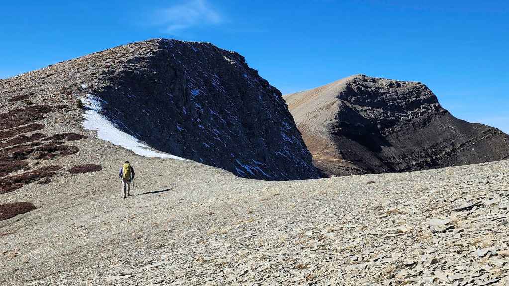
As he usually does, Brad leads the way. 🙂 (Photo by Andrew Nugara)

Another great photo from Andy. (Photo by Andrew Nugara)
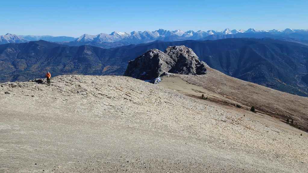
Looking back and toward the outcrop – and Andy. 🙂 We were surprised at how broad the ridge was.
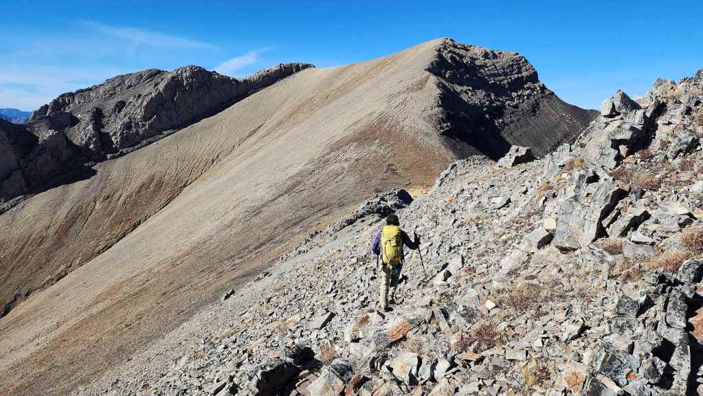
Approaching the small col before the summit.
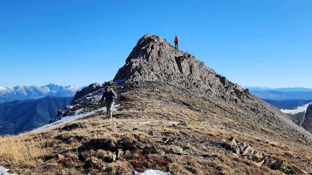
Passing through the col.

Andy’s view from the previous photo. Note the patch of yellow grass. This was the only place on the ridge where it grew. (Photo by Andrew Nugara)

A better look at the grass. (Photo by Andrew Nugara)

Gazing over to Mount Hosmer as we near the summit.

Brad arrives on the summit of “Hosmer North” (2519 m)…
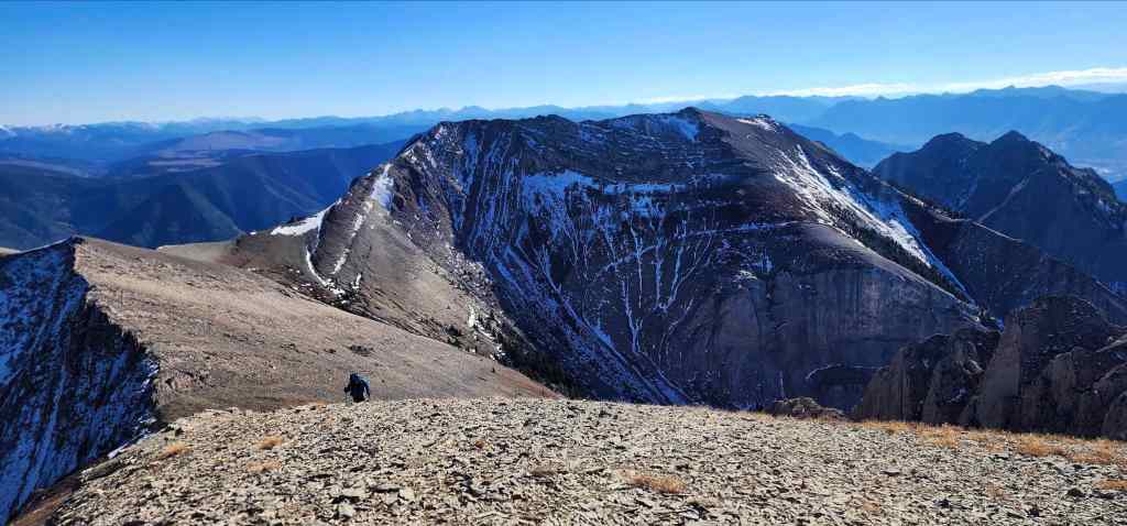
Followed by myself and then Andy. We were now on at the highest point on the Hosmer massif – a mighty 17 metres more than Mount Hosmer. 😂 For reference, it only took us 45 minutes to get here from the summit of Hosmer.
Still, there was no cairn nor any indication that anyone had ever tried to build one. Moreover, unlike the well-trodden trail to the summit of Mount Hosmer, there was little to no sign of any sustained foot traffic to “Hosmer North”. This led us to believe that it rarely sees visitors.
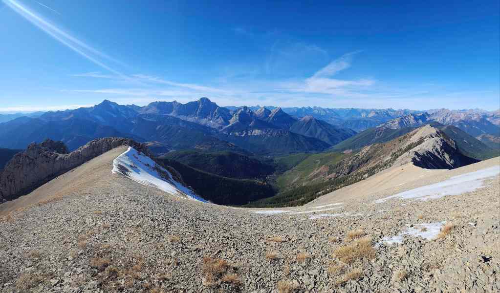
A broad pano to the west…
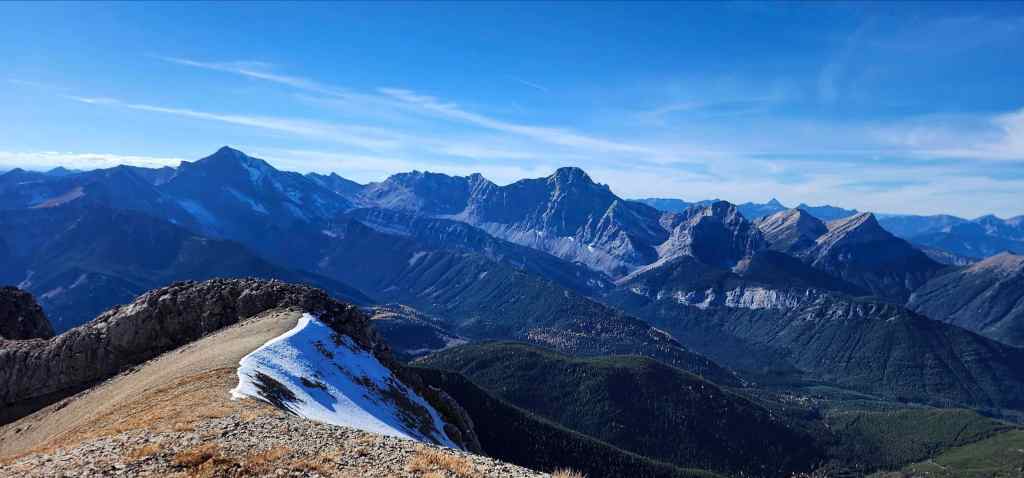
Followed by one with a bit more zoom.

Looking north…
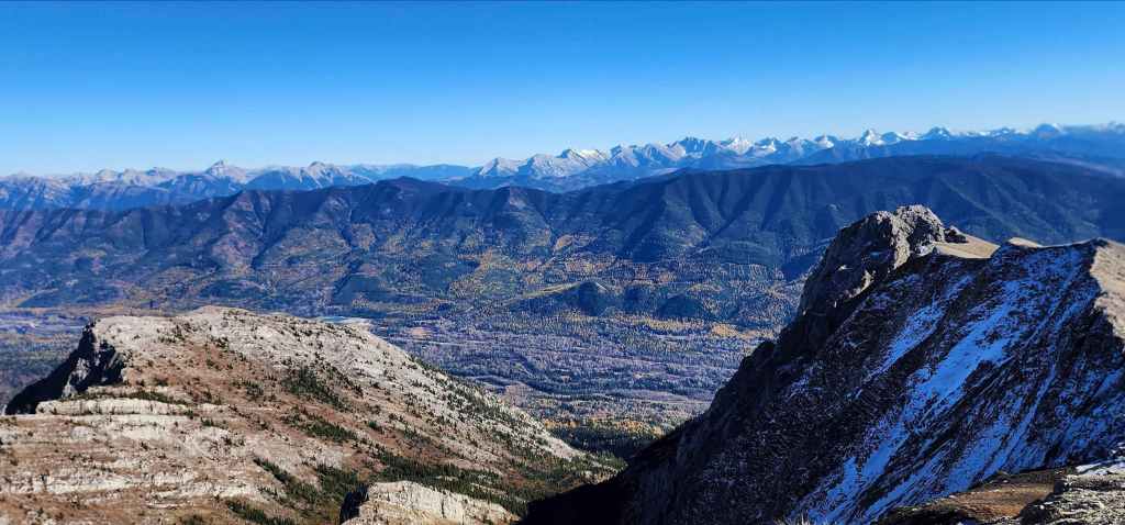
And then to the east.
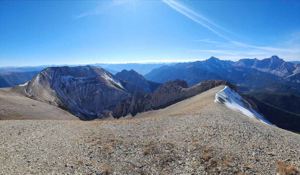
Finally, the view to the south.
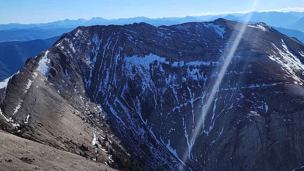
The view across to Mount Hosmer.
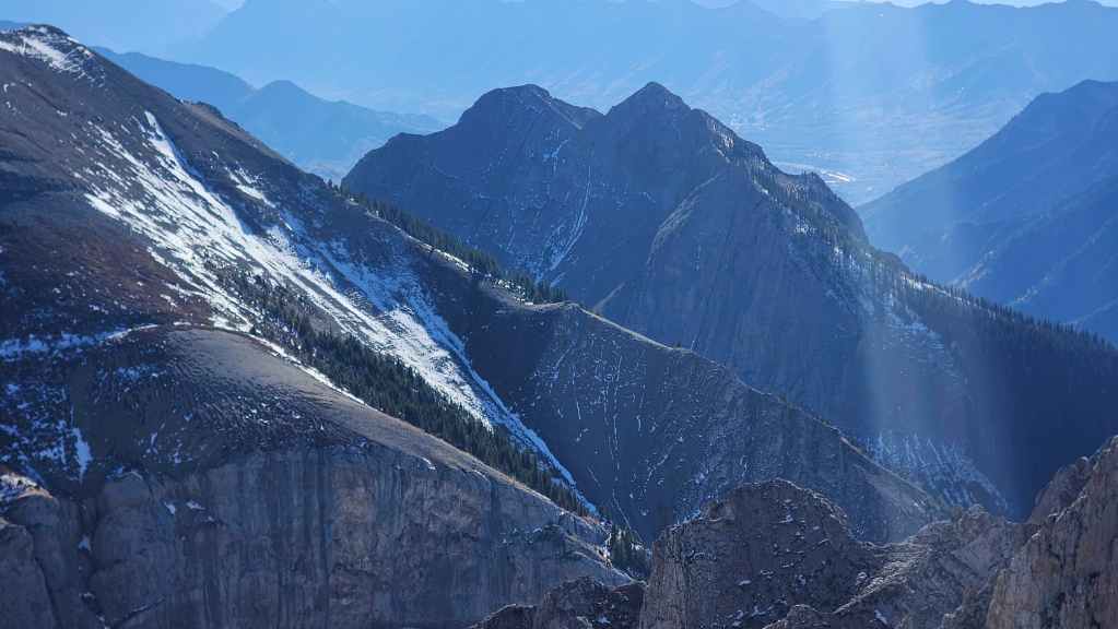
Where we were earlier in the day: Ghostrider Peak.
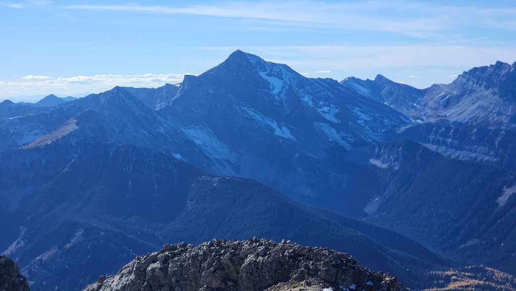
A nice view of Mount Proctor (left), Three Sisters (centre) and Bisaro S4 (right).
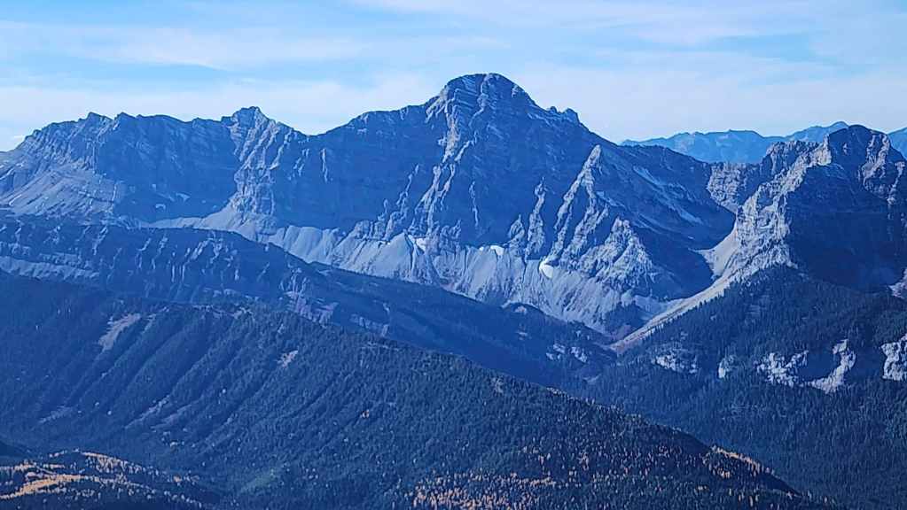
Mount Bisaro has an imposing look.

Mount Washburn (centre) sits to the northwest.
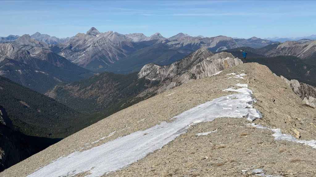
A wider look to the northwest.
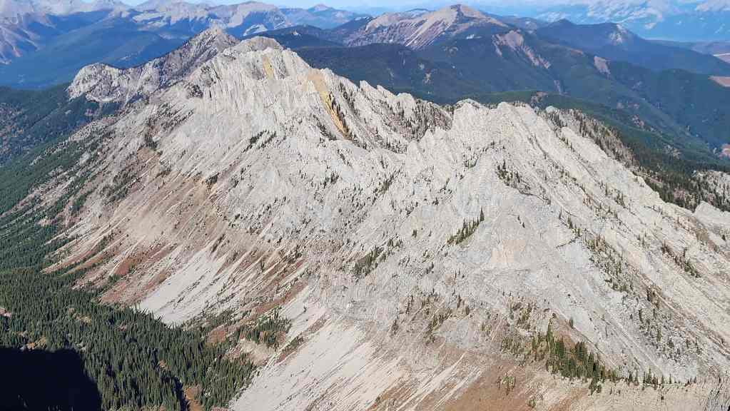
Looking north and toward Middle Earth and the unnamed peak. The Misty Mountains perhaps? 😂
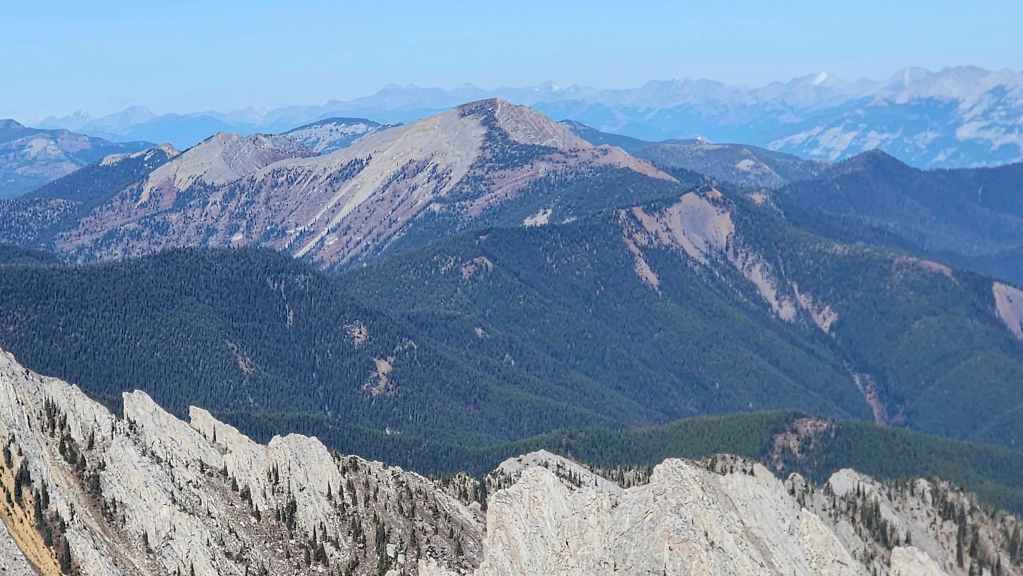
Mount Kuleski (centre) sits further to the north, just beyond Middle Earth.
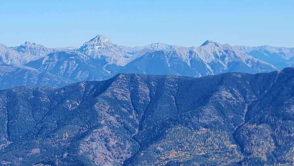
A good view into the Crowsnest Pass that includes the Seven Sisters (far left), “Alexander Creek Mountain” (left), Omahkai’stoo (Crowsnest Mountain) (left), and Phillipps Peak (right).
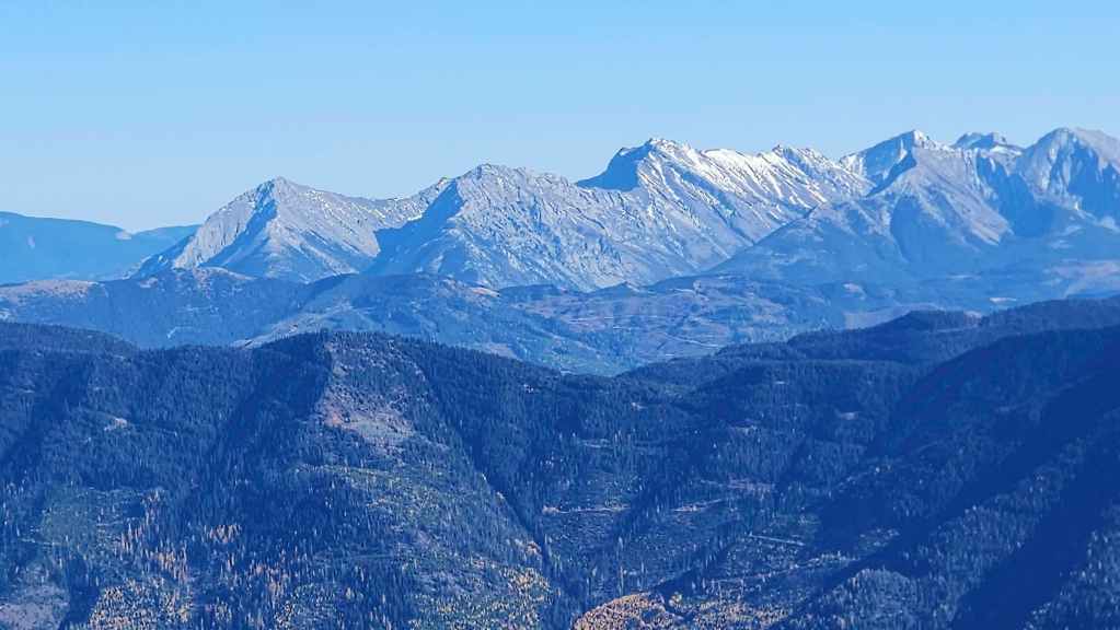
Still looking into the Crowsnest Pass at Sentry Mountain (left), “Ostracized Peak (left of centre), Chinook Peak (right of centre), Andy Good Peak (right), the NW Ridge of Ptolemy (right), and Mount Coulthard (right).
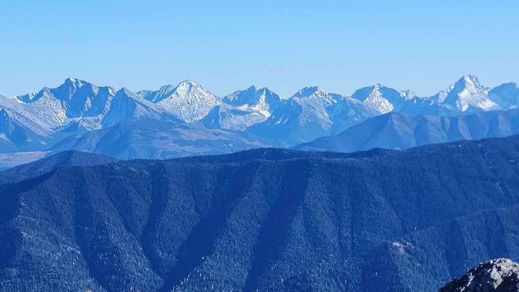
Mount Ptolemy (far left), Ptolemy SE5 (left), Mount McGladrey (centre), Mount Pengelly (centre), and Mount Darrah (far right).

The view back and along the connecting ridge to Mount Hosmer.
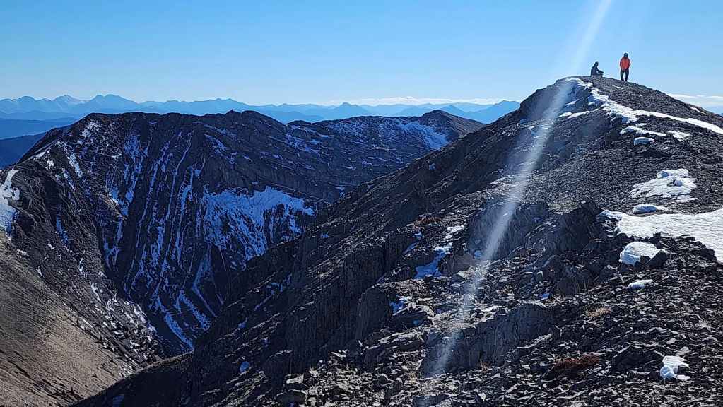
Andy and Brad enjoying the views.

Brad…

Andy…
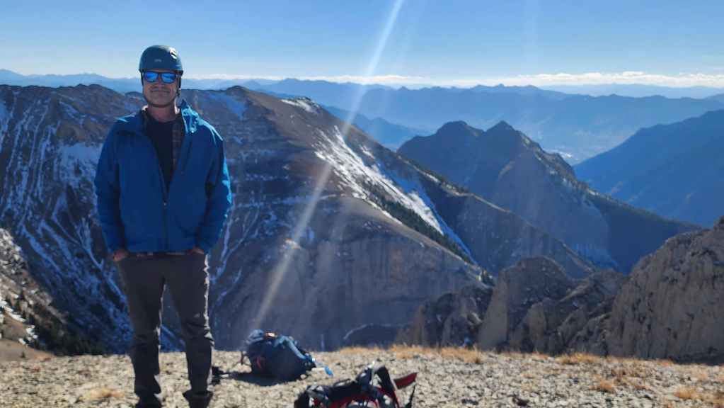
And me. (Photo by Brad Wolcott)
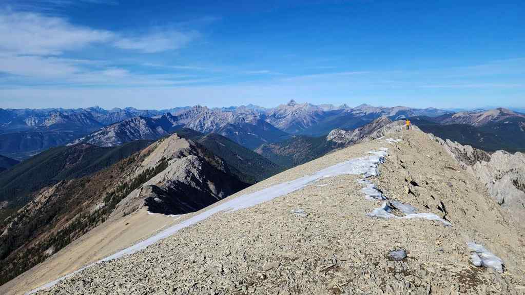
Andy (right) heads to the north end of the summit.
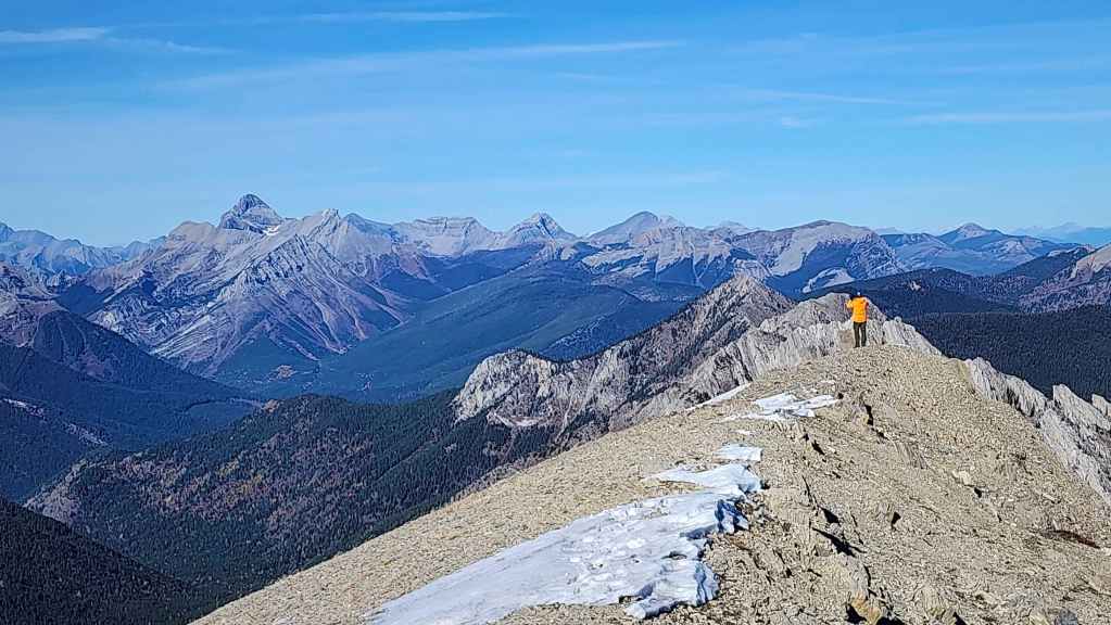
Mount Washburn (left) is the most notable peak on the horizon.
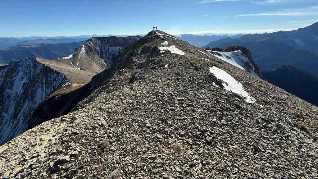
Andy’s view back. (Photo by Andrew Nugara)

While Brad and I decided to head back…
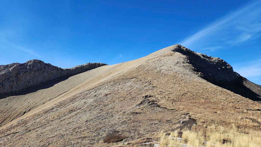
Andy (centre) stayed on the summit to do a bit more exploring…

By heading to the the west end of the summit. (Photo by Andrew Nugara)

The view back to the summit of “Hosmer North”. (Photo by Andrew Nugara)

The bowl between Mount Hosmer and “Hosmer North” looked to be a possible descent route. (Photo by Andrew Nugara)
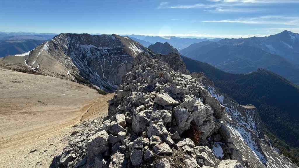
A rocky ridge. (Photo by Andrew Nugara)

Looking west from the little ridge. (Photo by Andrew Nugara)
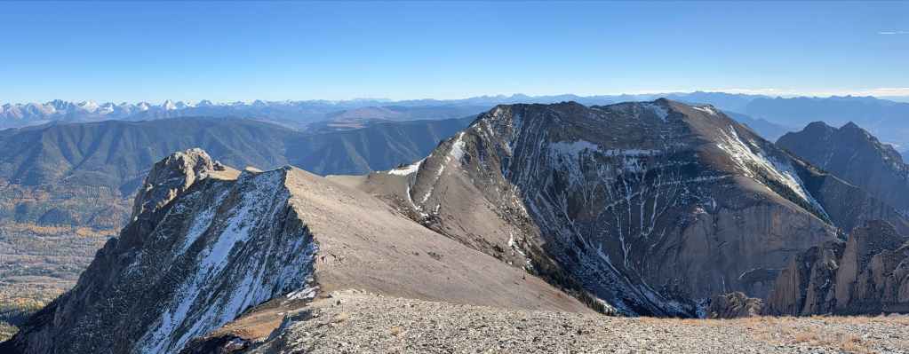
And now another series of panos, this time by Andy… 🙂 (Photo by Andrew Nugara)

West… (Photo by Andrew Nugara)

Northeast…
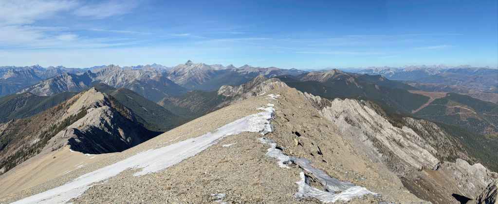
North… (Photo by Andrew Nugara)

West again… (Photo by Andrew Nugara)
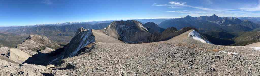
And finally, south and east… (Photo by Andrew Nugara)

While Andy was on the ridge, Brad and I headed a short distance along the ridge before waiting for Andy to catch up.

Did I mention that it was a gorgeous day! 🙂
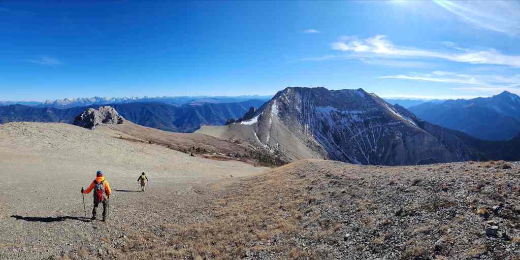
Back together, we set off for Mount Hosmer.

Arriving in the col. (Photo by Andrew Nugara)
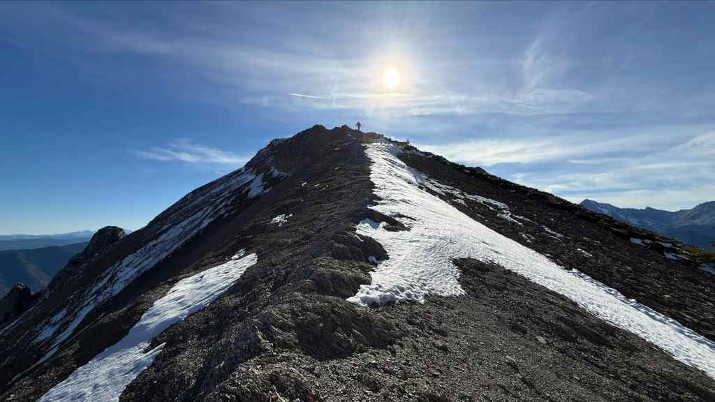
Regaining the 111 m of elevation back to Hosmer. (Photo by Andrew Nugara)
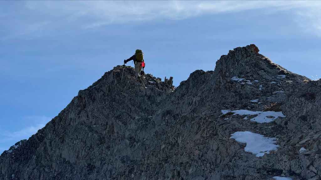
Brad continues to truck along… (Photo by Andrew Nugara)

While the old men lag behind. 😂 (Photo by Andrew Nugara)

Brad arrives on the summit ridge of Hosmer. (Photo by Andrew Nugara)
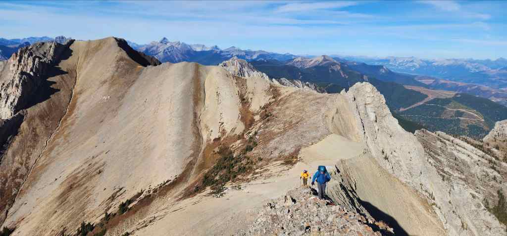
Brad’s view from the previous photo. Again, making the quick excursion to visit “Hosmer North” was entirely worth it. 🙂 (Photo by Brad Wolcott)
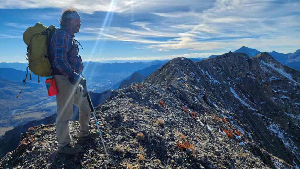
Back on Hosmer’s summit ridge.

A final look at the connecting ridge.

Yet another pano.

Arriving back on the summit of Hosmer. (Photo by Andrew Nugara)

Editing our register entry to include “Hosmer North” – along with Brad’s salacious contribution. 😂

A final look at “Hosmer North”.

Thankfully, it will be mostly downhill from here to the trailhead. (Photo by Andrew Nugara)

Making quick time. (Photo by Andrew Nugara)

Heading down to the col. (Photo by Andrew Nugara)
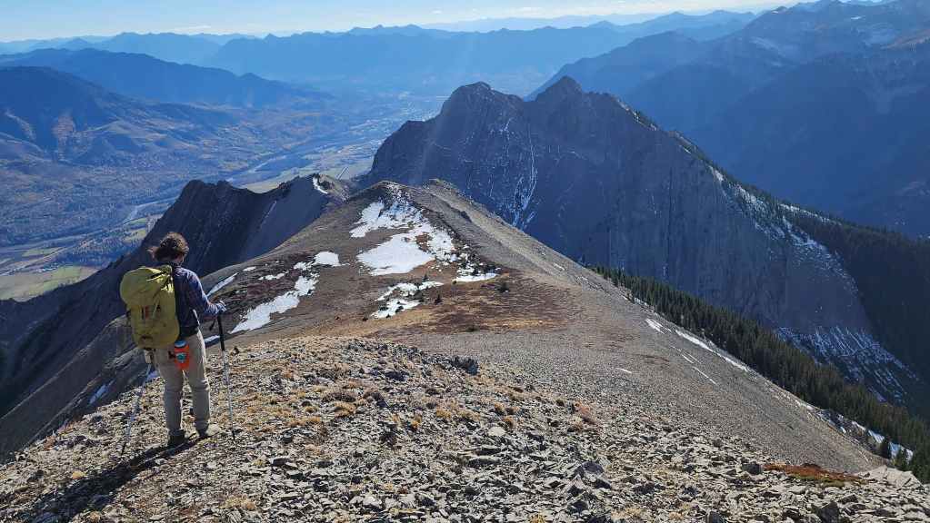
Another good look at Ghostrider Peak.

Arriving back at the col with Ghostrider. (Photo by Andrew Nugara)
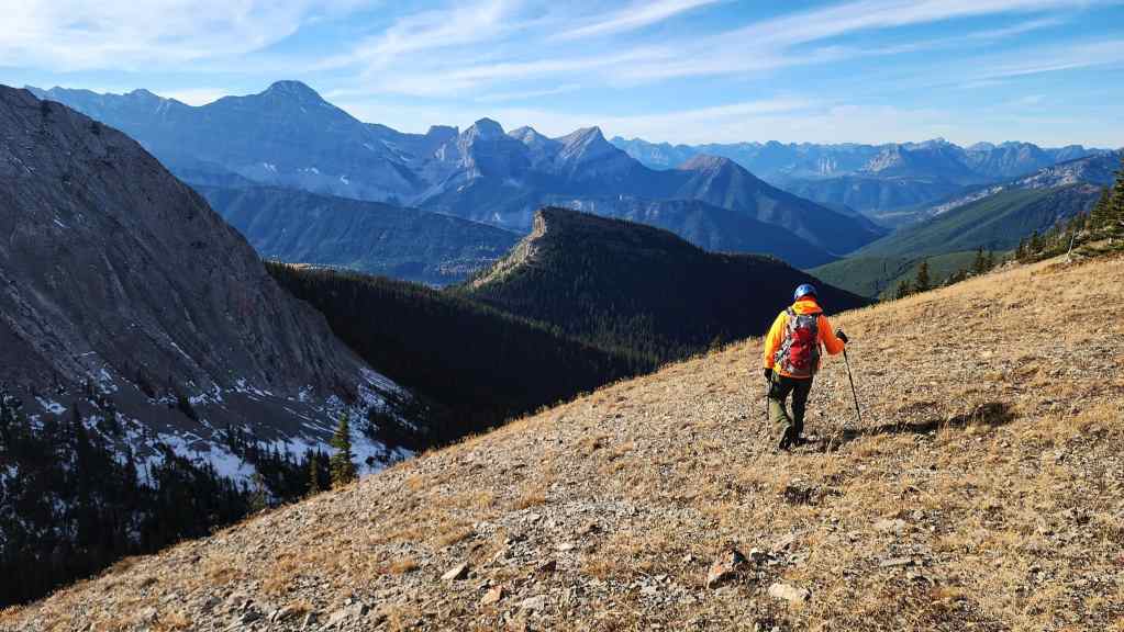
After gathering the gear we’d left at the col, it was a quick descent to reach the bowl.

Brad passes a sinkhole… a fargin’ sinkhole. 😂
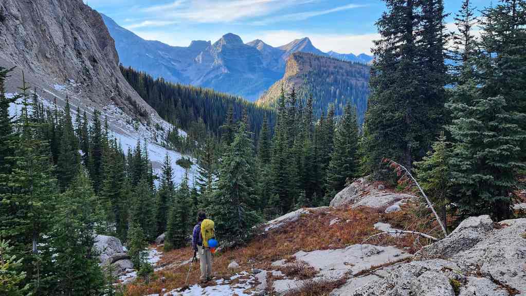
Gorgeous scenery.
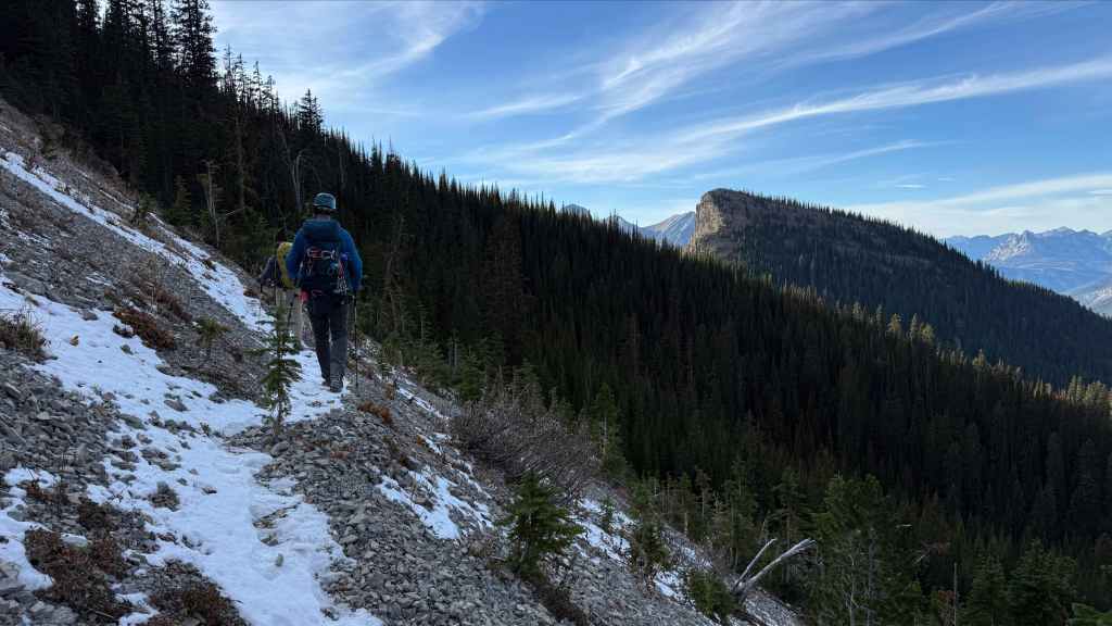
Following the trail across the north end of Ghostrider. (Photo by Andrew Nugara)
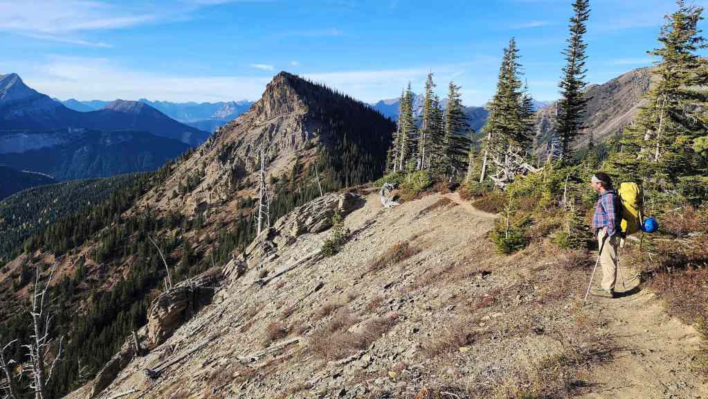
Nearing the col between Ghostrider Peak and “Ghostrider North” (centre).

A last look at Ghostrider. We’ll be back…
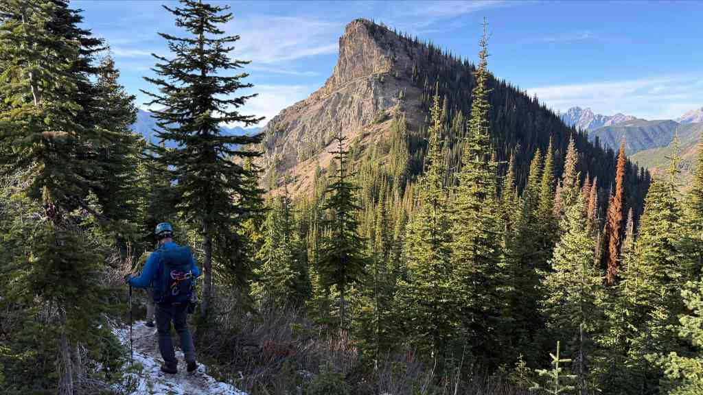
Arriving at the col… (Photo by Andrew Nugara)
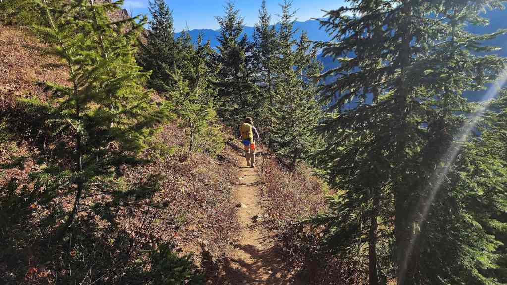
And then making the steep but quick trip back to the trailhead.

“Ghostrider North” is fairly dramatic from this angle. (Photo by Andrew Nugara)

I guess I lied… This is our last look at Ghostrider.
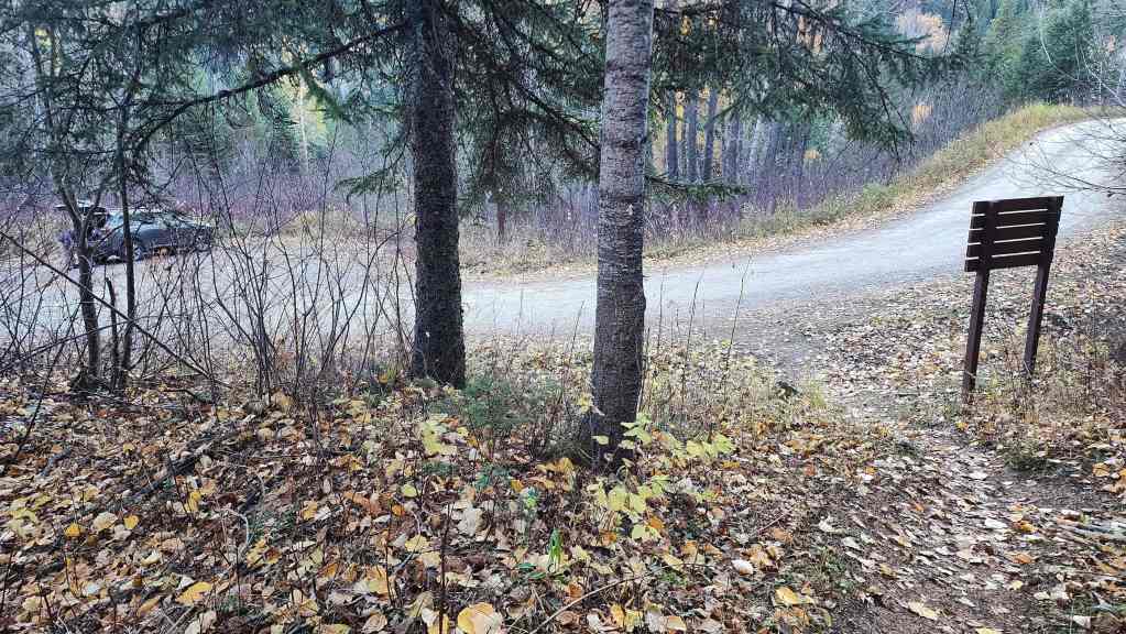
Arriving back at the trailhead ~16.7 km and 9 hours and 30 minutes after starting. This was a great day with the only ‘disappointment’ being our failure to get onto the summit of Ghostrider. However, I think we made a wise choice to back off the pinnacles and we’ll return another day to tackle it from the north. Of course, the highlight was “Hosmer North” and the great scenery along the connecting ridge. Thanks again to Brad and Andy for another fantastic day! 🙂


Leave a Reply