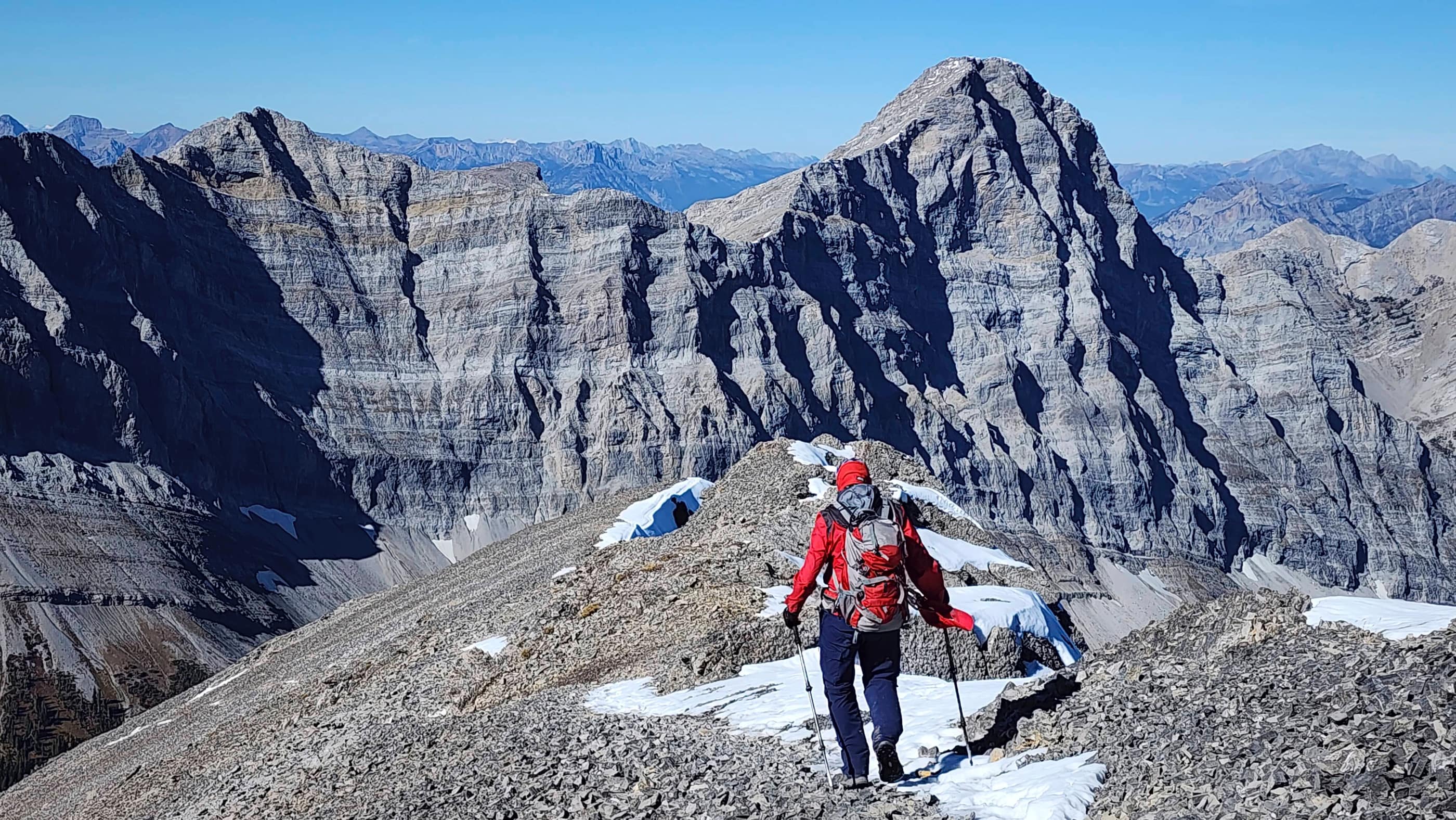

⚠️ Hiking and scrambling are inherently dangerous activities. Please read my Disclaimer. ⚠️
What a fantastic day! 🙂 After yet another prolonged absence from the mountains, today’s trip was just what the doctor ordered. In fact, if I had a checklist of stuff I was hoping for, the majority of items would be covered: a beautiful fall day ✅; interesting and varied scenery ✅; a great trail ✅; a good summit view ✅; and of course, great company ✅.
The only negative was losing my Garmin 66i GPS somewhere along Hartley Lake Road between Mount Hosmer’s trailhead and Heiko’s trailhead – which is a massive area to cover when looking for a small object. Of course, this all happened because we briefly stopped at the trailhead for Mount Hosmer and when I got out of the truck, I placed my GPS on the tonneau cover and forgot about it. When we drove off, it must have bounced off somewhere along the road and because it was turned off, I couldn’t ping its location. A search proved fruitless and I guess my only hope is if some honest soul finds it and contacts me. Oh well. It was definitely not my brightest move… 😢
Anyway, back to the positives. The BC Three Sisters (not to be confused with the Three Sisters near Canmore, AB) sits directly to the northwest of the Town of Fernie and is the highest visible peak from the townsite. (source) Indeed, at 2789 m, the middle peak is the main objective; towering far above its diminutive sisters.
In researching our trip, we naturally referred to Bob Spirko’s and Sonny Bou’s 2009 trip reports that are surprisingly, among the few independent descriptions outside of larger, more generic sites such as All Trails and Summit Post. In fact, it was from Bob and Sonny that we learned about Heiko’s Trail, which turned out to be a phenomenal approach.
Completed in 2003 by Fernie resident, Heiko Socher, the trail is wonderfully designed. Socher, who pioneered and operated Fernie Snow Valley Ski Resort, retired in the 1990s to take up trail building and his skill is decidedly on display. (source; source; source; source) Originally called the Mountain Lakes Trail, the entirety of the trail was officially renamed to Heiko’s Trail after Socher’s passing in 2016. (source)
Indeed, this well-maintained trail led us to interesting features such as Bisaro Cave, Bisaro Canyon, and high alpine meadows with impressive vistas. Along the trail we also encountered some youthful and inspiring hikers and bikers.
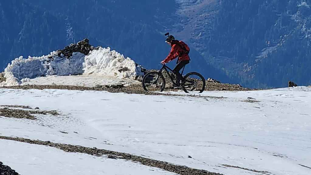
Most notable were two English lads whose goal was to bike down from Three Sisters’ summit. That they ended up riding and carrying their human-powered (no e-bikes for these two) all the way to the summit was impressive enough, but watching them ride down was really impressive. Of course, being a parent of boys myself, I had to interject with the obligatory, ‘Be careful guys!’ when we left them on the summit. Then as we descended, we kept a careful watch from below as they rode down the snowy trail. However, once they caught up to us on more benign terrain – for them not for us! – their enthusiasm was contagious. What a cool memory and what an accomplishment! 👏
We also met a group of approximately eight young men who were heading back to the trailhead after spending the previous night, camped on the summit. It was similarly inspiring to chat about their experiences and I can only imagine what it was like to see both sunset and sunrise from such a cool location. Thanks for sharing about your adventure, guys! 🙂
Finally, thanks again to Andy for the awesome day. It was definitely a wonderful trip!
Also, be sure to read Andy’s excellent trip report! [link coming]
PS: If you do happen to find my GPS, you can contact me using this link.

Since I lost my GPS, I’m using Andy’s data and map. The blue track is our route from today and the yellow track is Bob and Sonny’s route up Olivia Creek.
To get to Heiko’s Trail, we drove south from Sparwood along Highway 3. After passing through the hamlet of Hosmer, we followed the highway across a bridge over the Elk River. Once on the other side, we continued for ~4.7 km until we came to the turnoff for Dicken Road which was on our right.
Turning onto Dicken Road, we drove for ~500 m until we came to the turnoff for Hartley Lake Road – also on our right. A small homemade sign on a telephone pole was the only identifier. We turned right and followed Hartley Lake road for ~10.9 km (~4.1 km past the trailhead for Mount Hosmer) until we came to the turnoff for Heiko’s Trail access road. There was no signage for the turnoff and I’m sure without directions, it would be extremely easy to miss. We also found that the road beyond the Mount Hosmer trailhead got progressively worse and we were thankful that we had my high clearance Tacoma.
After turning left and onto Heiko’s access road, we were even more thankful that we had my Taco – and for added measure, 4-wheel drive. Had we not had this, we would have parked in the large clearing at the turnoff and hiked the remaining ~2.5 km to the trailhead. However, because of my Taco, we had no problem making it down the rough and muddy road to the trailhead. The trailhead itself was fantastic with a large parking area and even a toilet – which was weird to find after following such a nondescript and rough route in. This was our starting point.
Overall, the trail itself is easy to follow and was extremely well maintained. The first ~1.7 km to Bisaro Cave involved ascending an assortment of constructed steps, ladders, and stairs that are thoughtfully placed, but on descent, they took a bit more time to navigate because the trail was wet.
From Bisaro Cave, the trail headed up until it was directly over the entrance to the cave. Here there was some mild exposure, but again, the trail engineers provided a staircase to mitigate slipping. Once on the ridge above the cave, we came to a fork where we chose to avoid Bisaro Canyon (we’d visit it on the way back) by taking a bypass to hiker’s left. The bypass eventually regained the main trail shortly before the Shady Lane section.
From here, it was smooth sailing along the excellent trail all the way to Three Sisters Pass (~7.6 km and 3 hours from the trailhead). Once on the Pass, we turned onto Three Sisters trail which we followed for ~2.1 km all the way to the summit. For reference, it took us 4 hours and 46 minutes over ~9.7 km (1394 m elevation gain) from the trailhead to the summit including the bypass of Bisaro Canyon.
After spending ~40 minutes on the summit, we returned the way we came except we continued along the main trail to visit Bisaro Canyon. In total it took us 3 hours and 20 minutes to return to the trailhead from the summit.

Our total roundtrip time including our ~40 minute summit stay, was 8 hours and 46 minutes. Our total distance travelled was ~20 km and our total elevation gains to the summit were 1394 m.

After passing through the hamlet of Hosmer and crossing the bridge over the Elk River, we drove for another ~4.7 km until we came to the turnoff for Dicken Road on our right. A quick drive up Dicken Road (~500 m) brought us to the junction with Hartley Lake (Creek) Road which is marked only by this small sign on a power pole.
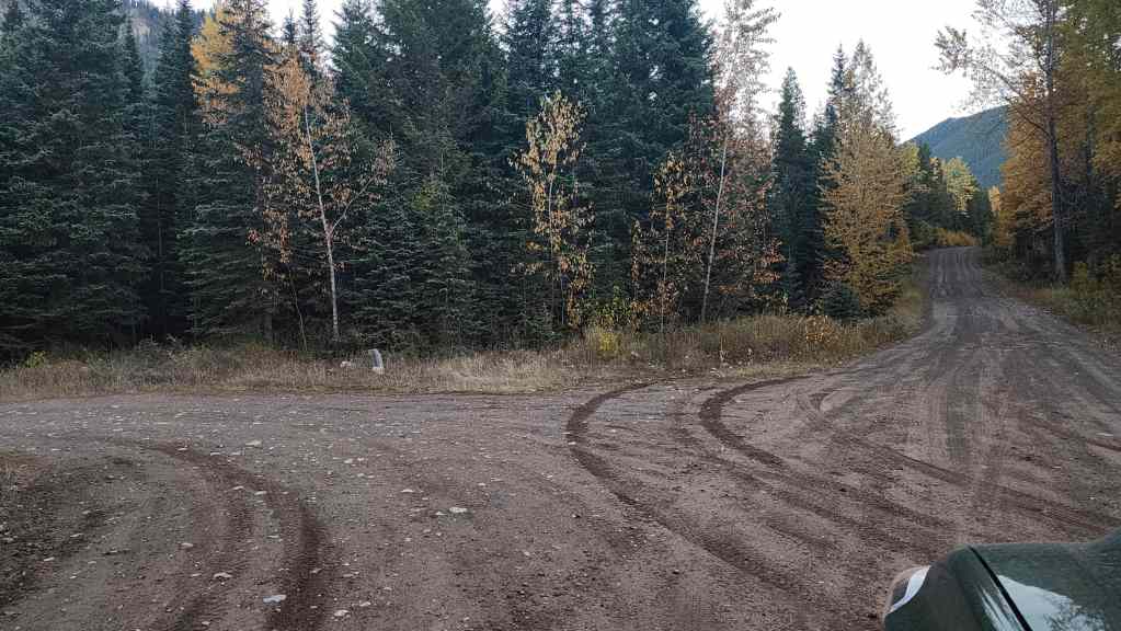
After turning onto Hartley Lake Road, we drove for ~10.9 km until we came to the unmarked start (left) of the access road to Heiko’s trailhead. It would be really easy to miss!
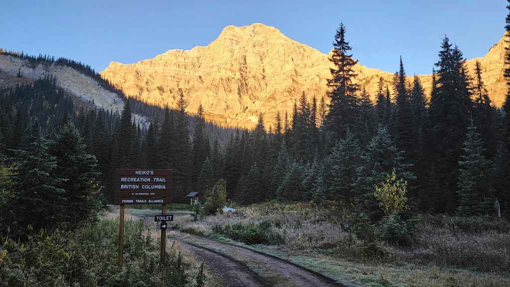
A rough ~2.5 km later (I’m glad we had a high clearance 4×4) brought us to Heiko’s trailhead. In the background is Mount Bisaro and if you’re interested, you can learn more about Torindo John Bisaro by reading John Kinnear’s excellent article.
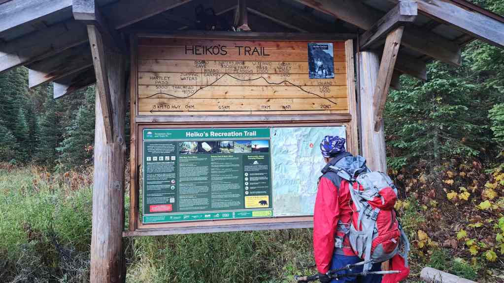
Andy studies the map at the trailhead. Honestly, given the lack of signage on the drive in coupled with the condition of the access road, we were pleasantly surprised at how awesome the trailhead was.
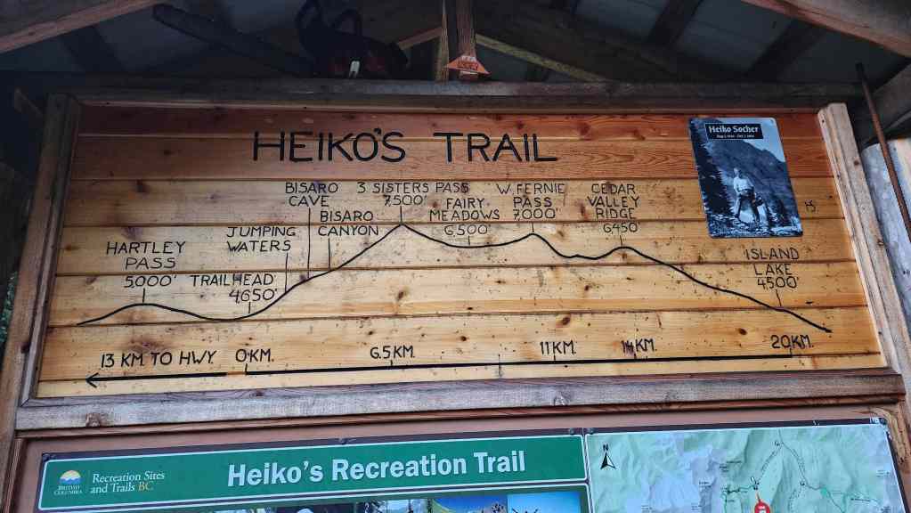
A closer look at the elevation map. Note the photo of the trail’s creator, Heiko Socher.
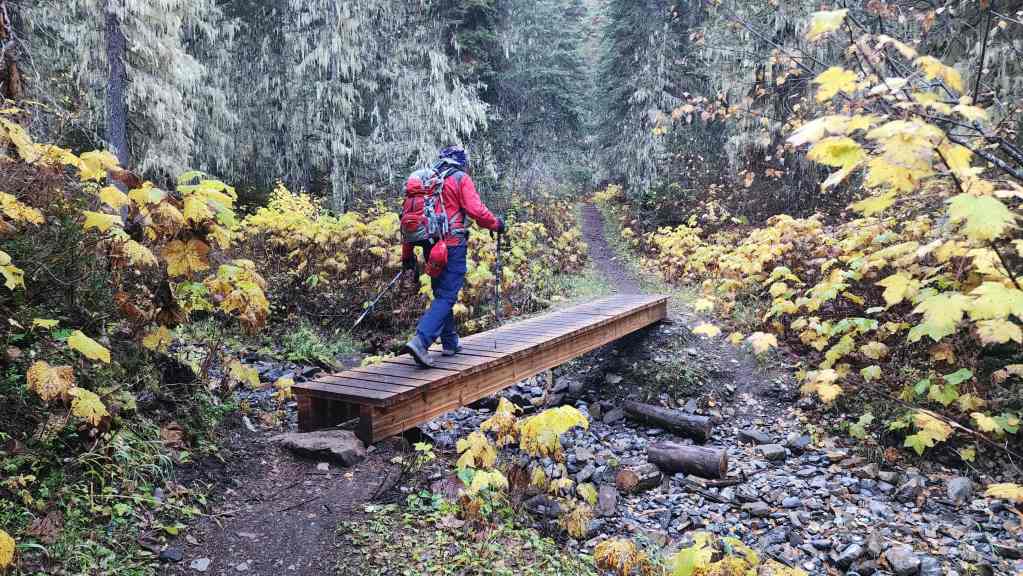
Andy crosses a bridge a short distance from the trailhead. We were really impressed with not only the design of the trail, but also its maintenance. A massive thanks to those who put in the work! 🙂
It was also at this point that we were passed by a young mountain biker from England, who together with his friend (also from England), were off to ride and hike their bikes to the summit of Three Sisters. 😳 Needless to say, we were duly impressed! Oh, and these weren’t e-bikes, they were fully human-powered.
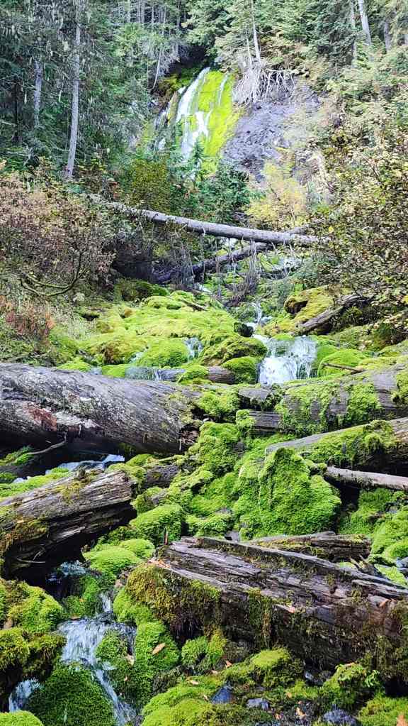
Not long after starting, we came to a series of small waterfalls.
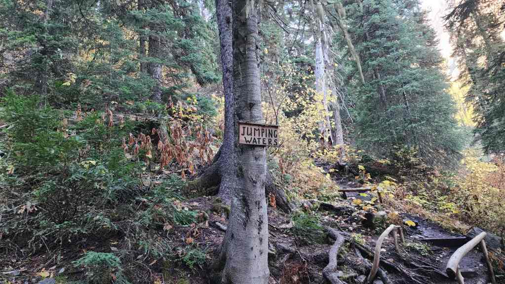
Each section of the trail is named, and this was aptly called, Jumping Waters.
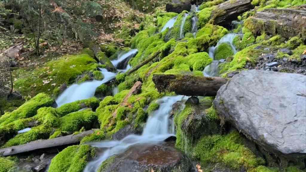
Andy is the master of capturing waterfalls, so I’m grateful to include his cool photos of Jumping Waters…. (Photo by Andy Nugara)
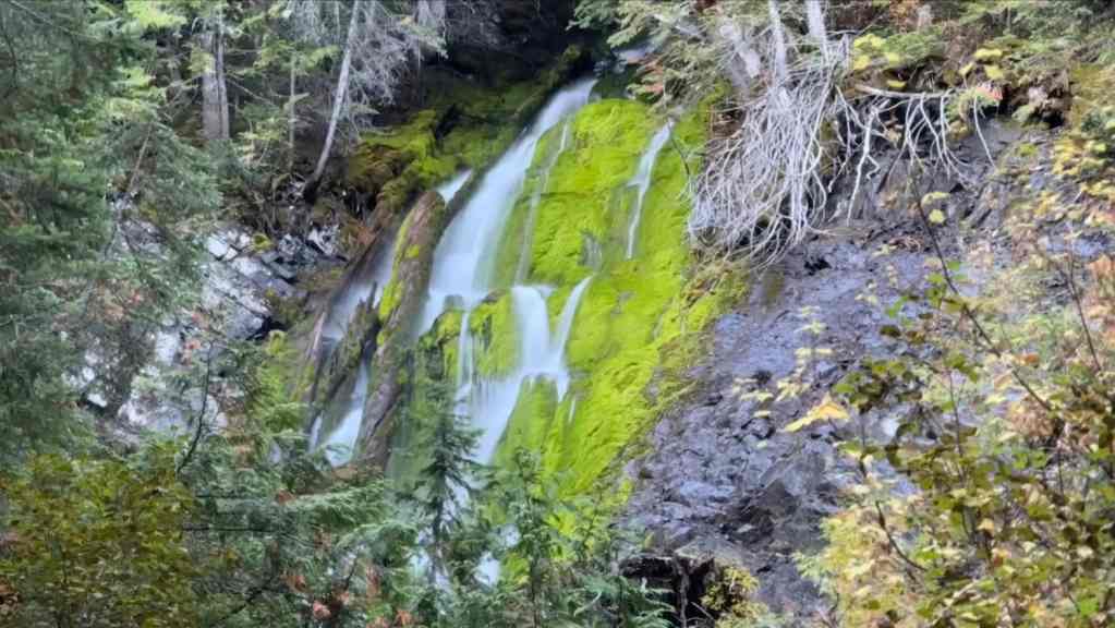
Seeing this was a great way to start the day. (Photo by Andy Nugara)
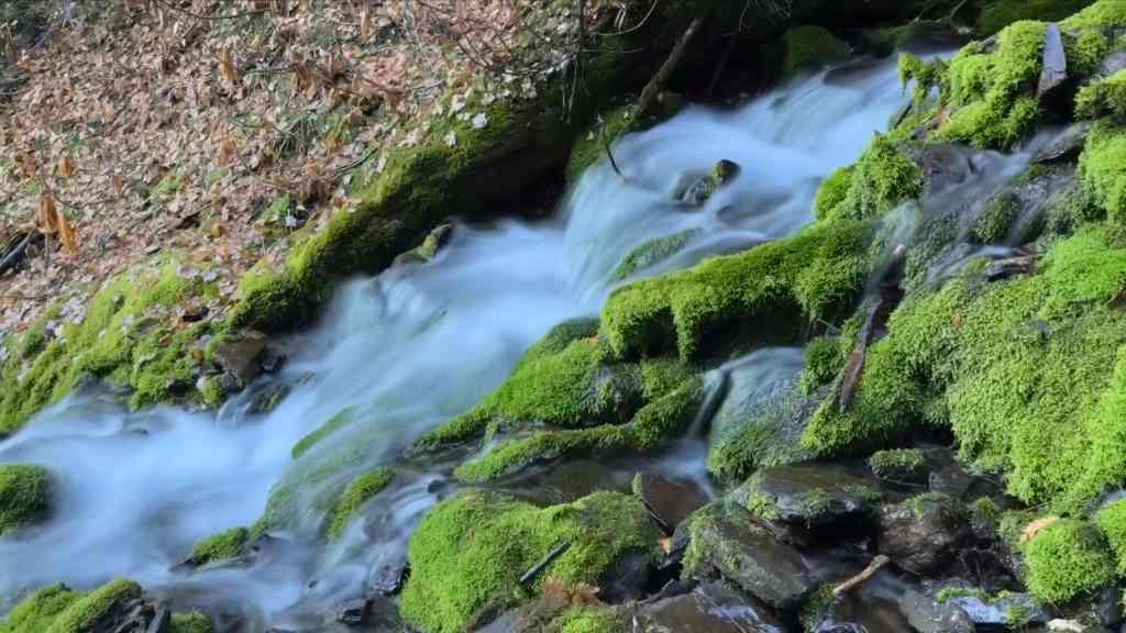
More Jumping Waters… (Photo by Andy Nugara)
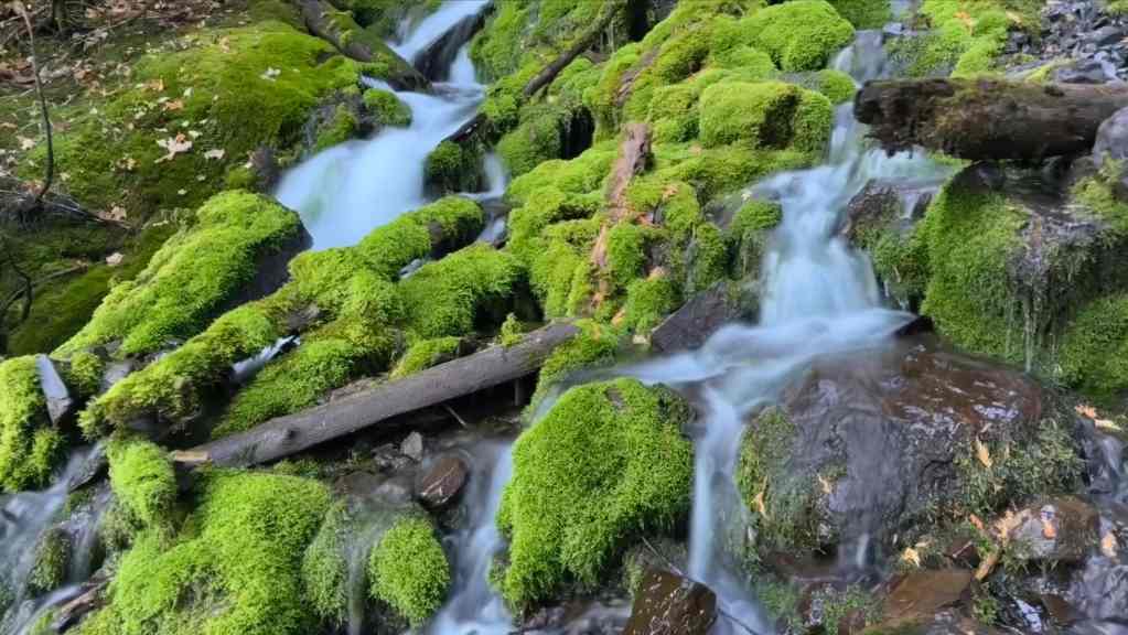
And finally, one last look. (Photo by Andy Nugara)

The trail heads up beside the waterfalls. (Photo by Andy Nugara)
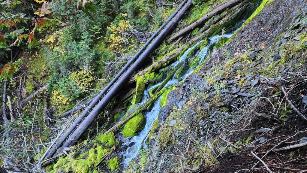
Arriving at the point where the creek emerges from the mountain…
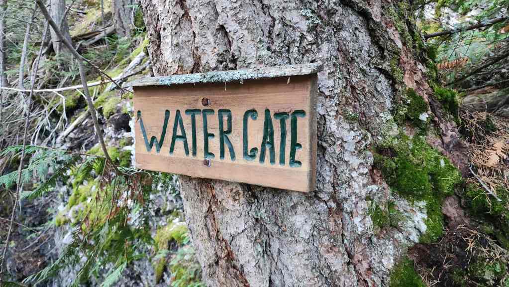
Which was also aptly named.
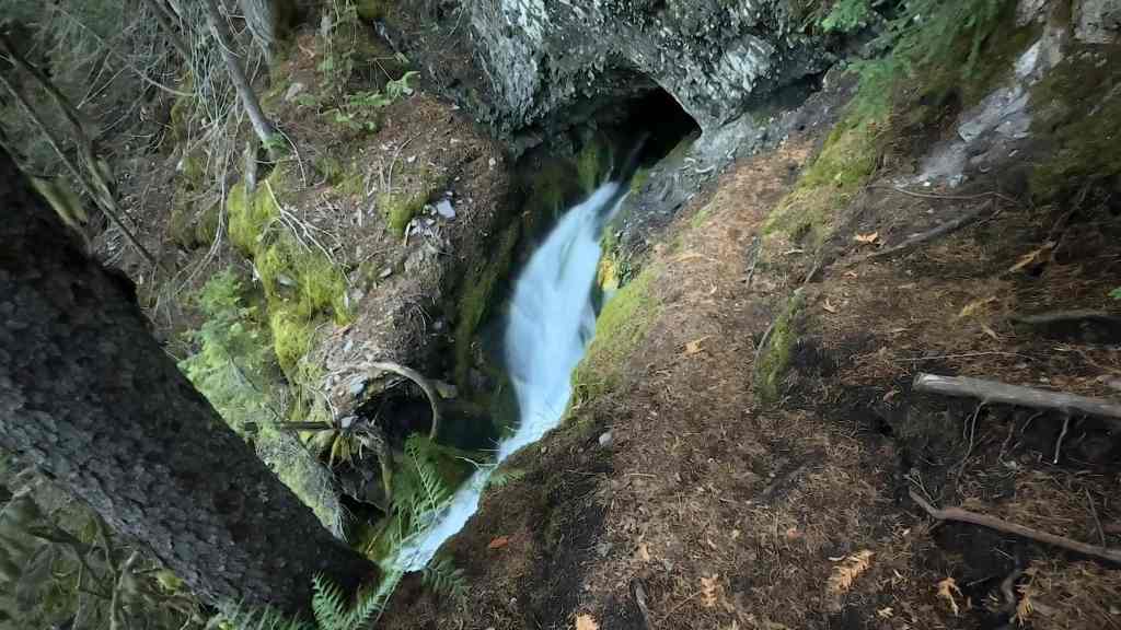
A closer look at the small cave and the origin of the creek. (Photo by Andy Nugara)

A ton of work was invested into building the series of stairs and ladders that mark this section of trail. (Photo by Andy Nugara)
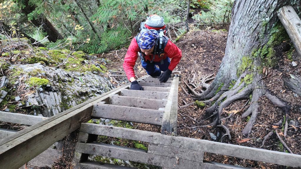
Andy climbs a small ladder. This is where it dawned on us that those English lads had to haul their bikes up this – plus a whole lot more. 😳

Looking towards the trailhead as we gain elevation.

More stairs… (Photo by Andy Nugara)
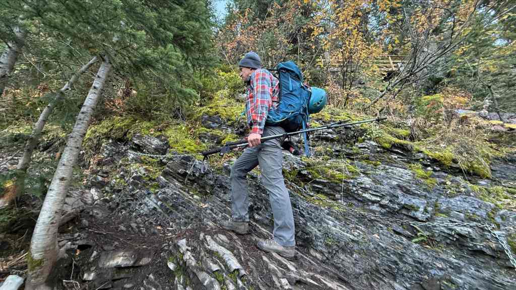
And even a small chain. As I said before, a ton of work has gone into this trail. (Photo by Andy Nugara)

Morning sunlight highlights an outlier of Mount Bisaro.

Our first taste of fall colours with more to come. (Photo by Andy Nugara)
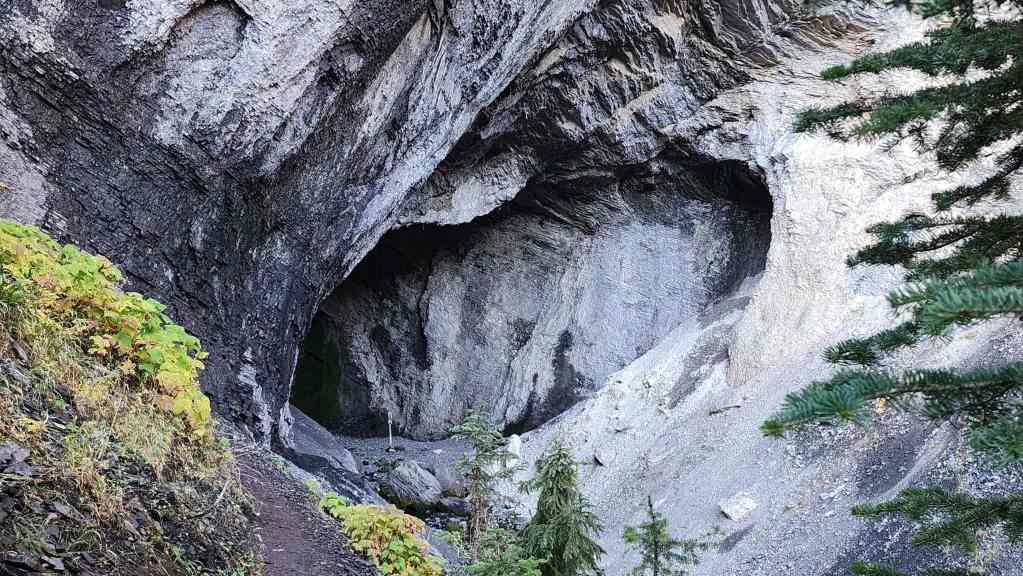
Approximately 1.7 km from the trailhead, we arrive at Bisaro Cave. Though impressive, this is not the only cave on Mount Bisaro. As John Kinnear notes, in 2012 a new cave, known as Bisaro Anima, was discovered on the Bisaro Plateau with subsequent explorations determining that it is the deepest known cave in both Canada and the continental United States.
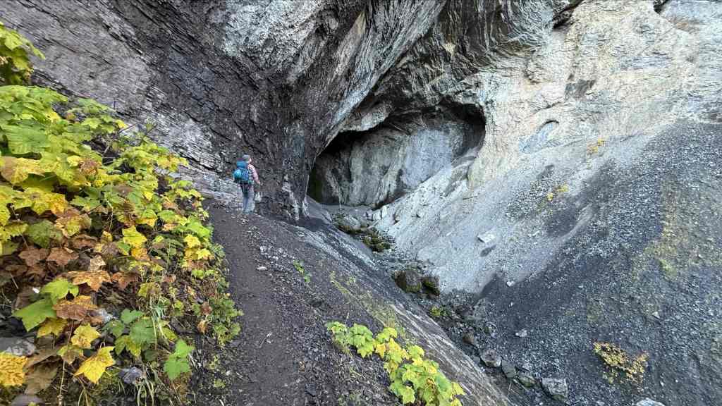
I head towards the entrance. (Photo by Andy Nugara)
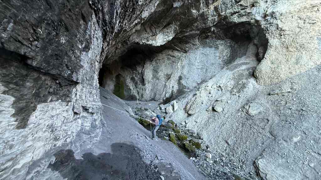
A chain provides easy access to the floor. (Photo by Andy Nugara)

Andy follows me down.
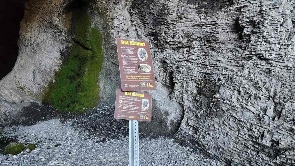
The sign near the entrance.
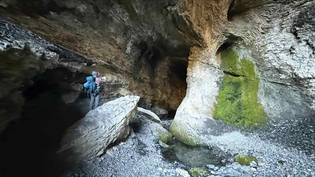
Not wanting to disturb the bats – or Lazslo Cravensworth 😂 , we ventured only a short distance inside. (Photo by Andy Nugara)

Andy heads toward a small waterfall.

Andy with the waterfall behind him – and who knows what, watching us from the dark…. 😂
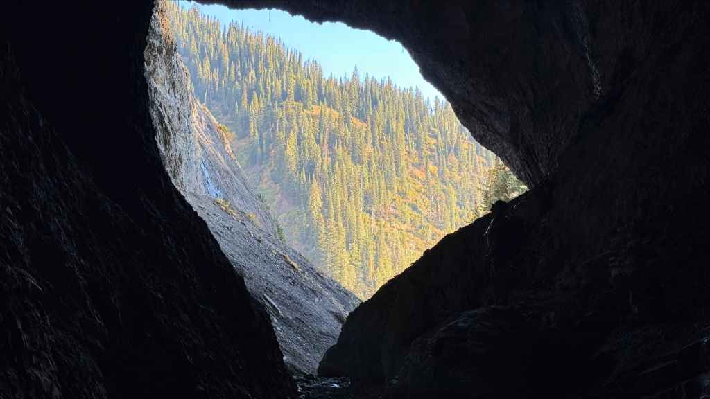
Andy’s view back to the cave’s entrance. (Photo by Andrew Nugara)

The bats apparently have to use bolts and chains to hang from the ceiling. 😂
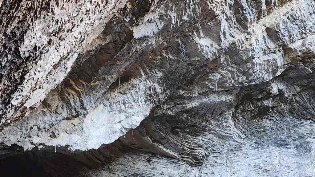
Seriously though, there were a number of bolted routes up and onto the ceiling. Both Andy and I looked for obvious jugs or other holds and we didn’t see many. I guess these routes are classed as 5.Spiderman. 😂

Andy climbs back to the trail.
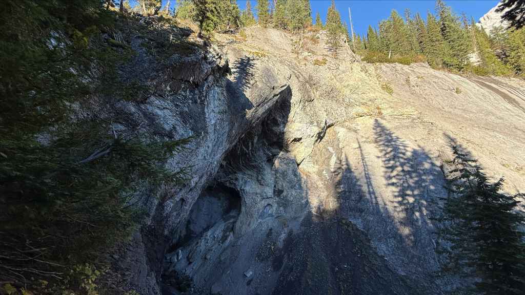
A final look at Bisaro Cave. Note the bolted routes surrounding the entrance. (Photo by Andrew Nugara)
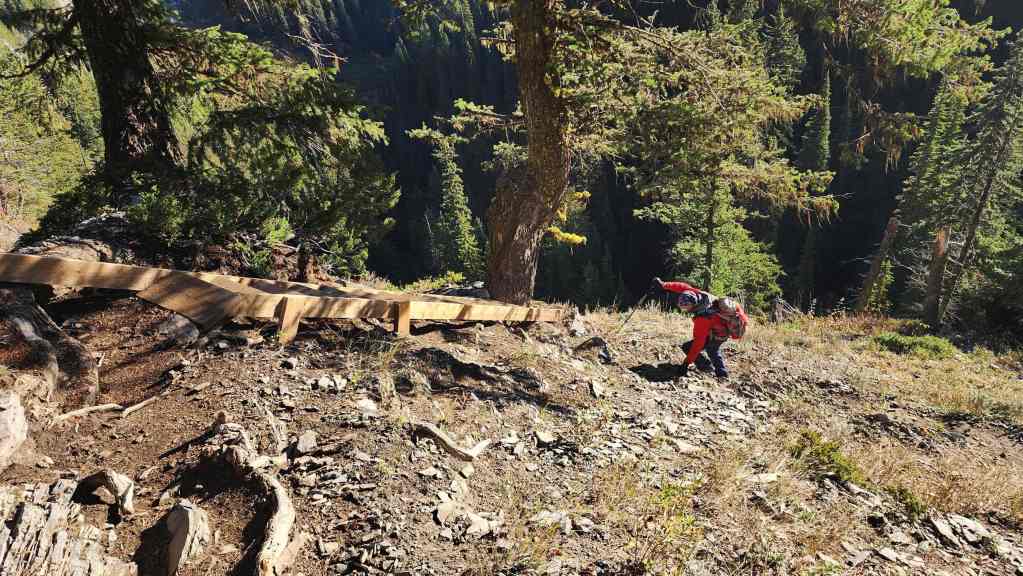
From the cave, the trail climbs until it is directly above the entrance. There’s some mild exposure as the trail traverses across the rock, but this is mitigated though the inclusion of a staircase.
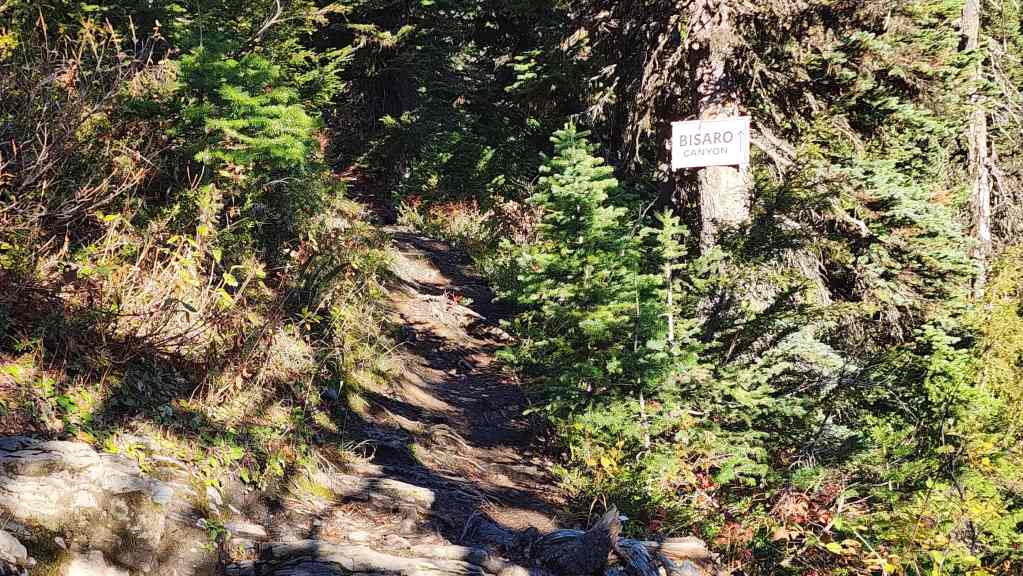
On the ridge above Bisaro Cave, we came to a fork where the main trail continues to Bisaro Canyon, while a bypass heads to climber’s left. Deciding to visit the canyon on the way back, we chose to follow the bypass.
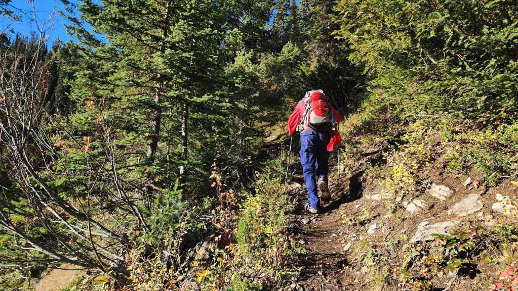
The bypass is also a good trail.
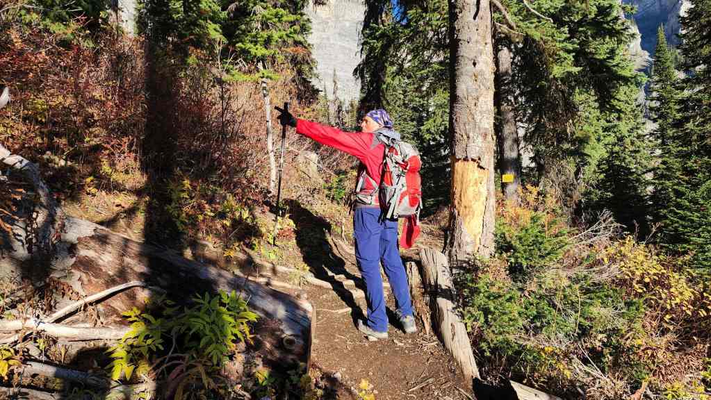
At the junction where the bypass rejoins the main trail.

Now on the main trail.
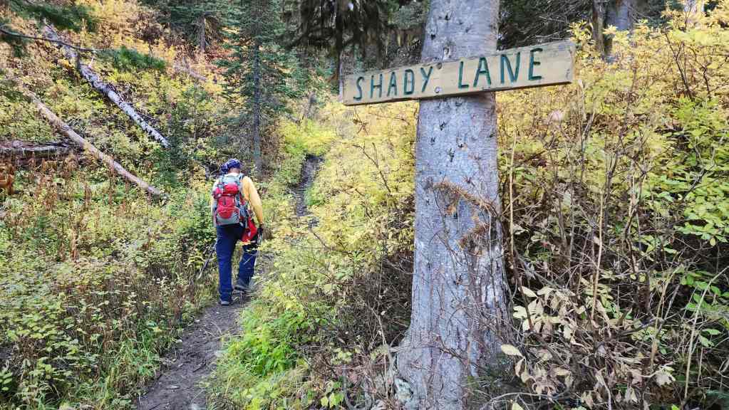
At the end of the day and after all the hikers that had come through, this section was full of slippery mud that made descending a bit tedious. However, on the way up, it wasn’t a concern at all.

Above Shady Lane, the trail settles into a gentle grade as it enters the high alpine.
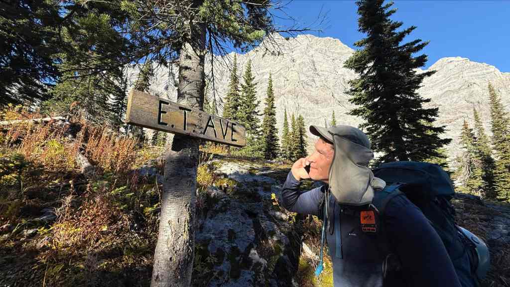
I’m certain that no one in the history of this trail, has ever made this joke before. 😂 (Photo by Andrew Nugara)
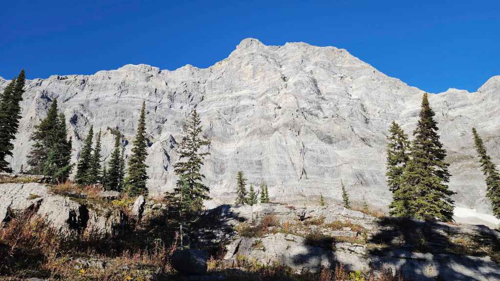
The impressive east face of Mount Bisaro.
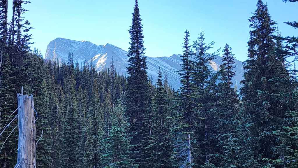
Our first glimpse at the summit of Three Sisters (left).
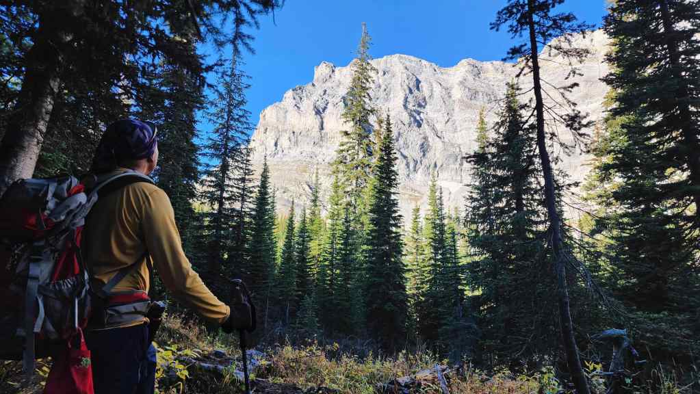
Andy admires a unique formation (centre) adorning an outlier of Bisaro.

A comprehensive look at Mount Bisaro. (Photo by Andrew Nugara)
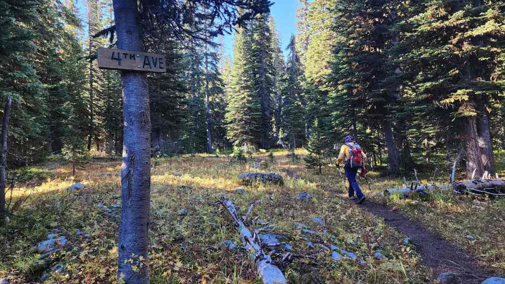
Enjoyable and easy hiking.

Getting a better look at the summit of Three Sisters.
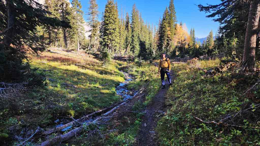
The trail meanders alongside Sulphur Creek.
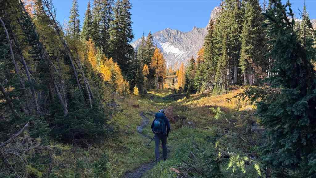
A healthy smattering of larches added to our ever growing appreciation of Heiko’s trail. (Photo by Andrew Nugara)

My view from the previous photo with Bisaro S4 in the centre.
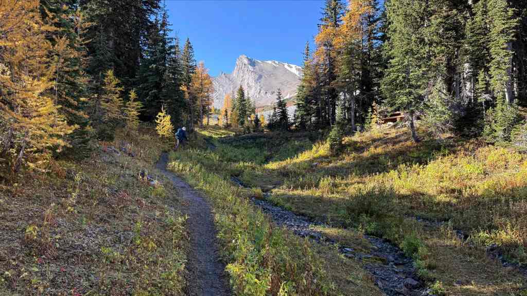
A similar photo to the previous two, but now with 80% more S4. 😂 (Photo by Andrew Nugara)
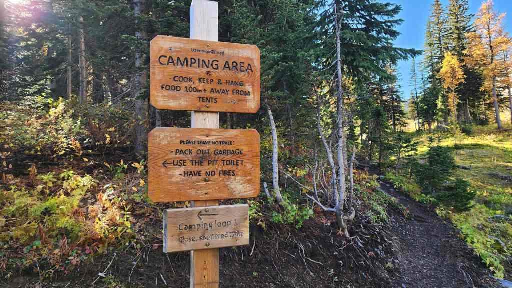
The campground is situated in a prime location.
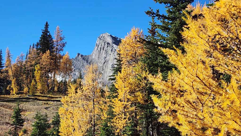
More larches and Bisaro S4.

Even more larches – plus a bizarro human. 😂 (Photo by Andrew Nugara)

Bisaro S4 looks like a straightforward ascent. We’ll have to come back for it – even if it’s just an excuse to hike this trail again! 🙂 (Photo by Andrew Nugara)
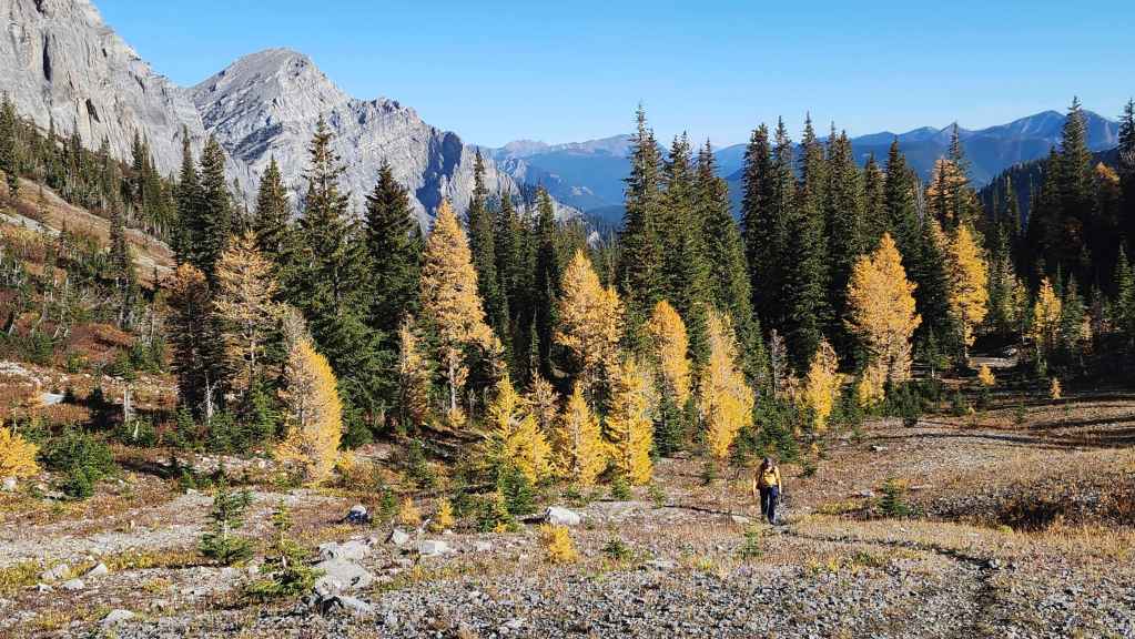
The larches, fooled by Andy’s yellow shirt, begin to follow him up the trial. 😂
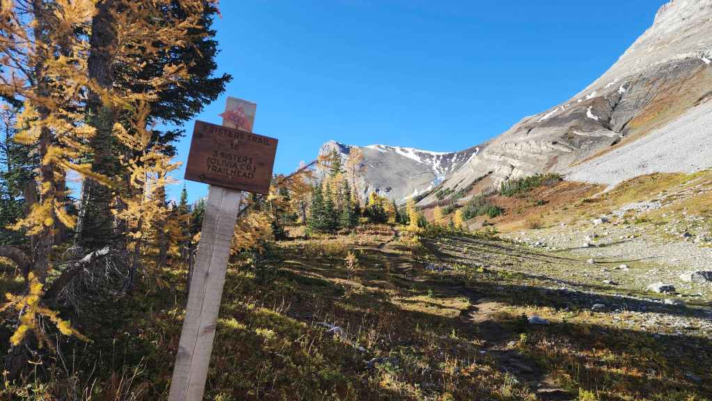
Arriving at the junction where the Olivia Creek route used by Bob and Sonny, joins the main trail.

A better look at the unique rock formation on Mount Bisaro. (Photo by Andrew Nugara)

Passing the last few trees… (Photo by Andrew Nugara)

Before everything opens up. (Photo by Andrew Nugara)
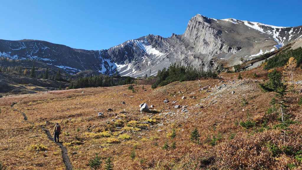
What a gorgeous place! I was not expecting this!
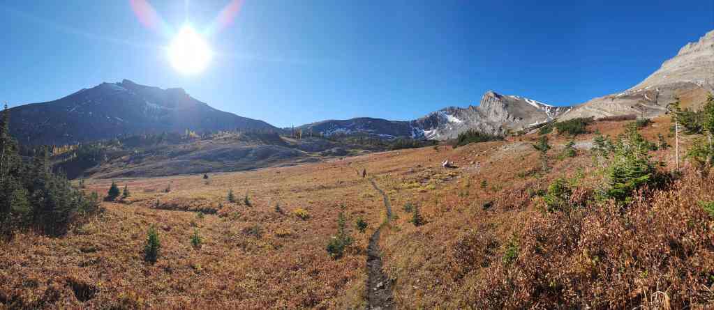
The trail will take us directly onto Three Sisters Pass (centre).
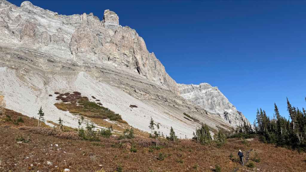
Another look at the formation (left of centre) on Mount Bisaro – and as an added bonus, a second bizarre formation on the bottom right. 😂 (Photo by Andrew Nugara)
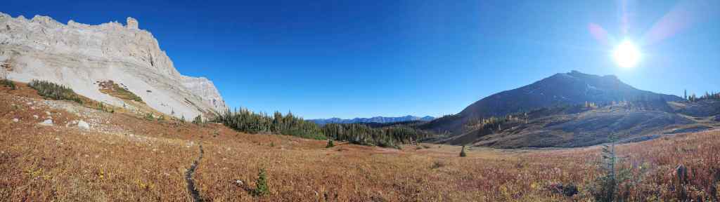
The view back and across the meadow.

The fantastic weather combined with great scenery gave us plenty to smile about.
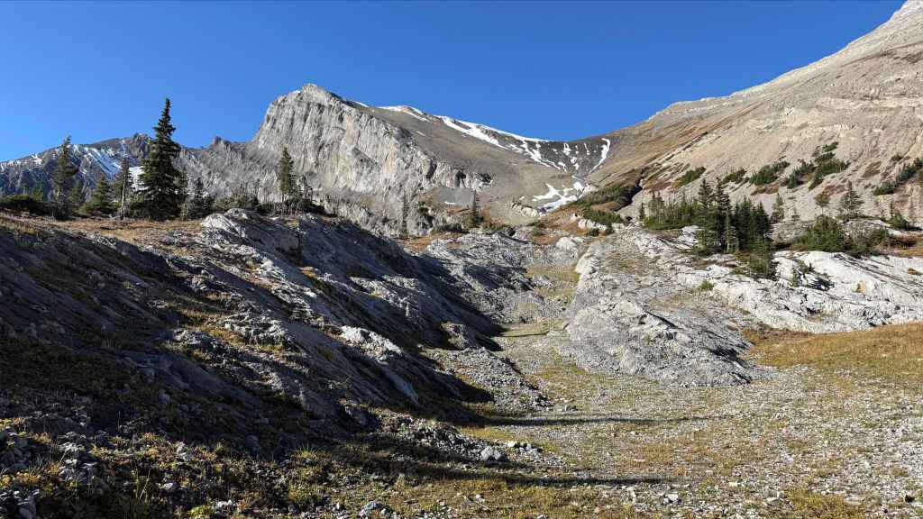
Bisaro S4 is really, really inviting…. 🤔 (Photo by Andrew Nugara)
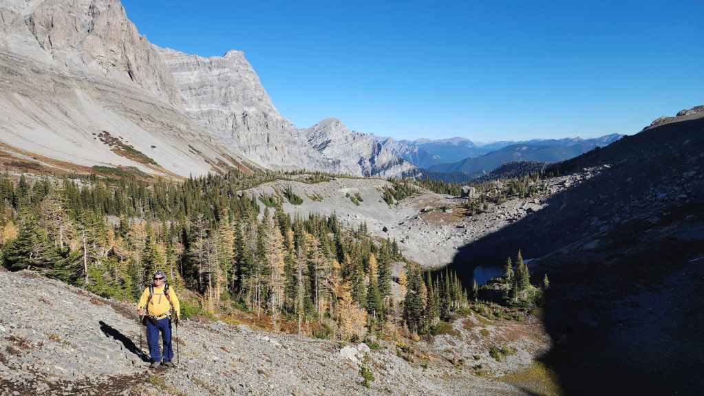
Yet another look back as we begin to climb toward Three Sisters Pass. Note the small tarn on the right.
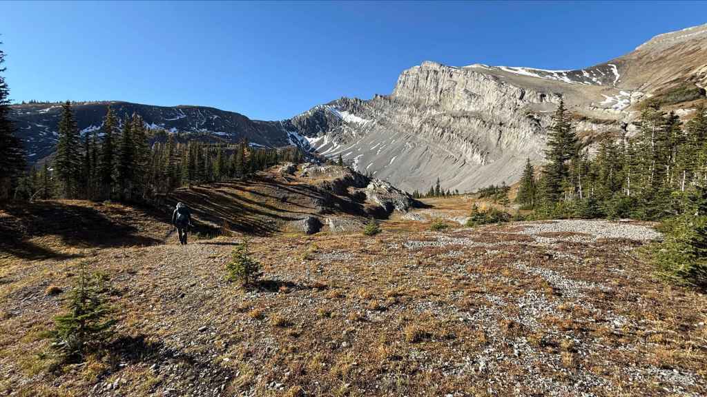
Shortly after this photo was taken, we met a group of approximately eight young men who were heading back to the trailhead after camping overnight on the summit of Three Sisters. They were super friendly and you could tell from their enthusiasm that it was an awesome experience. Well done guys! 🙂 I can only imagine how cool it was to see sunset and sunrise from summit. (Photo by Andrew Nugara)
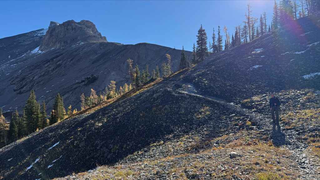
Interesting rock at the end of Three Sisters’ west ridge. (Photo by Andrew Nugara)
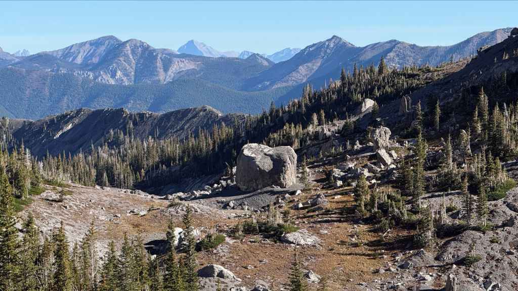
Now that’s a big boulder!
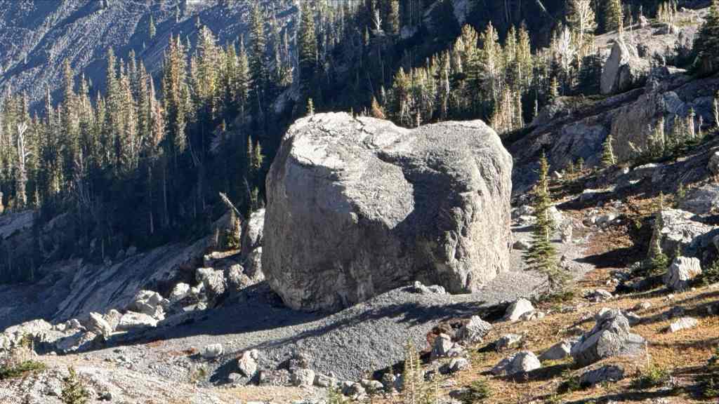
A closer look at the giant boulder. (Photo by Andrew Nugara)
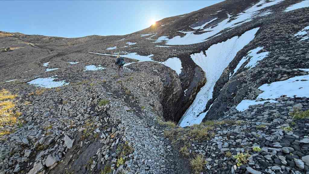
Passing a sinkhole as we follow the trail to Three Sisters Pass. (Photo by Andrew Nugara)
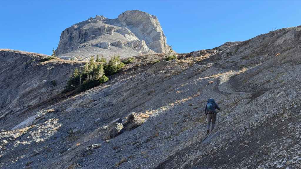
Almost on Three Sisters Pass. (Photo by Andrew Nugara)
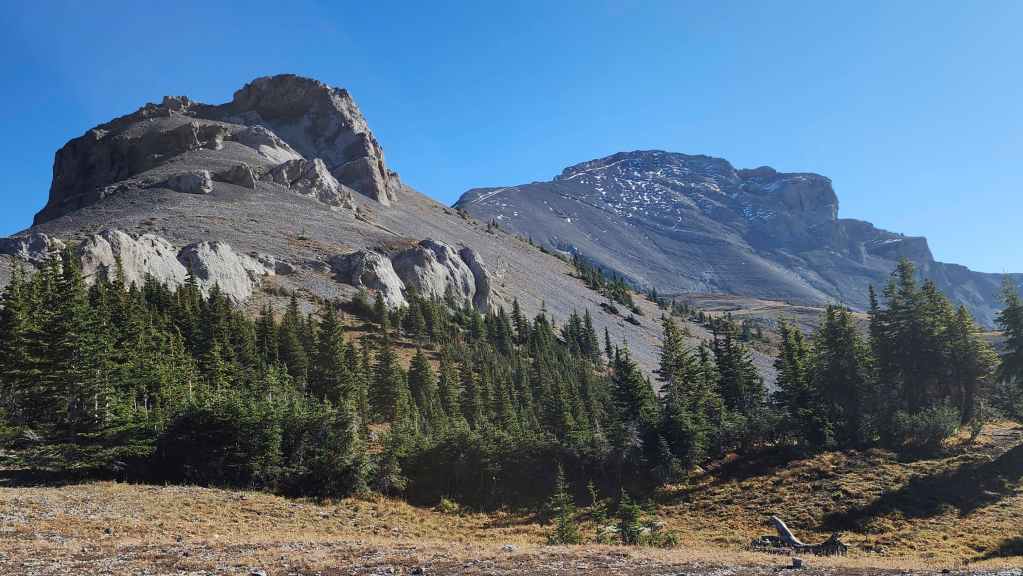
The view towards Three Sisters (right) from the Pass. For reference, it was a 3 hour hike over ~7.6 km from the trailhead to the Pass.
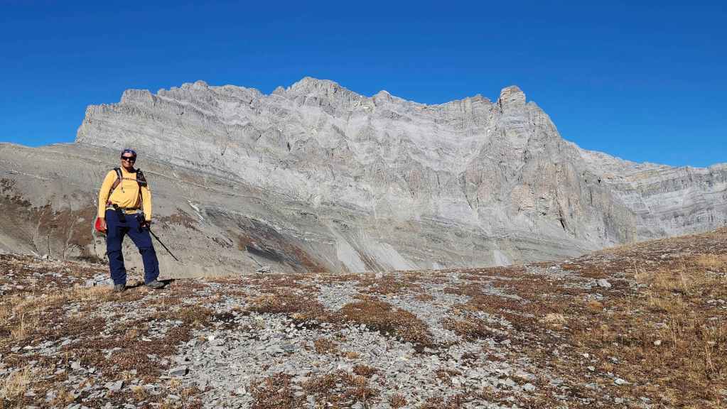
So far, this has been a fantastic hike. 🙂

I pay my respects to Nathan, the young English lad for coming this far with his fully human-powered bike. 😂 He was waiting on the Pass for his friend, Aaron, who had to return to Fernie to retrieve a forgotten bike helmet – which is a very good thing given what they planned to do. (Photo by Andrew Nugara)
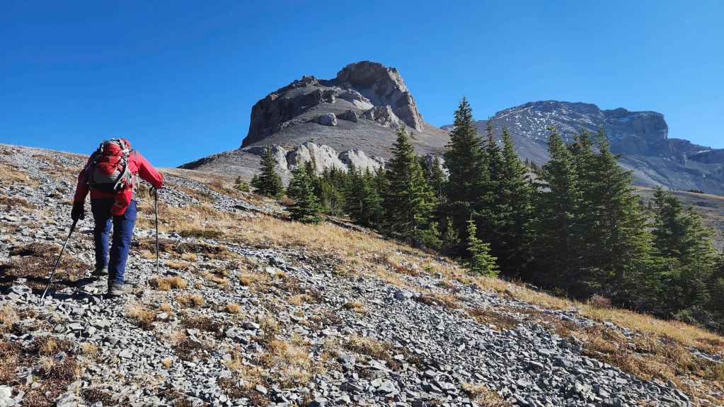
The ~2.1 km trail to the summit of Three Sisters starts by following the ridge.

The view back shortly after starting up the trail. Bisaro S4 is in the background.
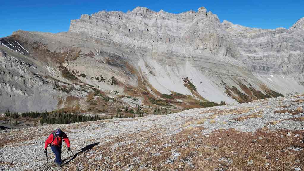
A slightly different angle of the previous photo. There was no shortage of big views.

Looking at Fairy Meadows where Heiko’s trail continues from the Pass. (Photo by Andrew Nugara)
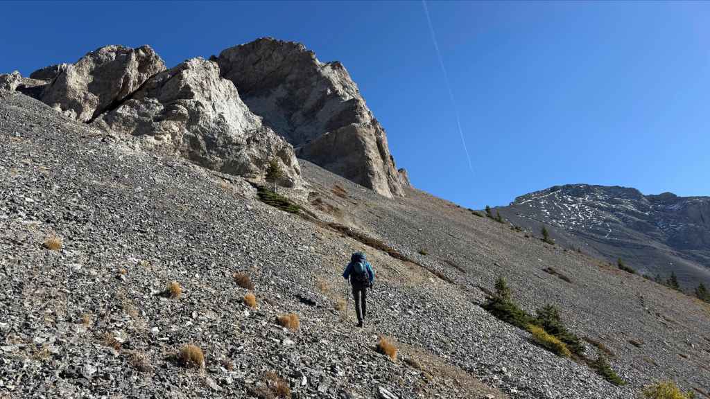
Getting to the summit was a slog, but at least we were on a good trail. (Photo by Andrew Nugara)
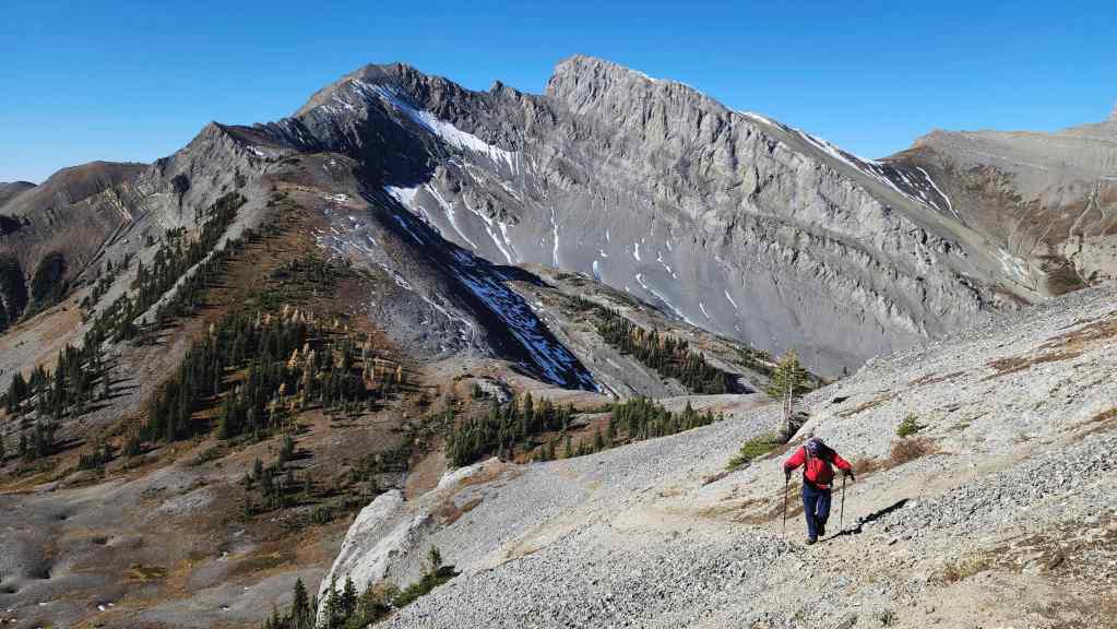
Another look back as we gain elevation.

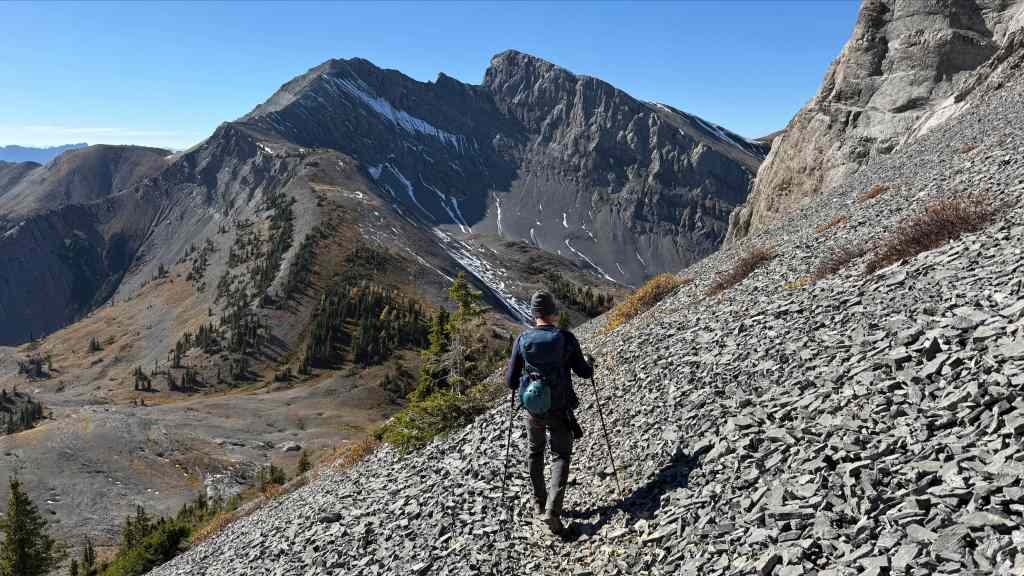
The trail to the summit is clearly visible thanks to some recent snow.
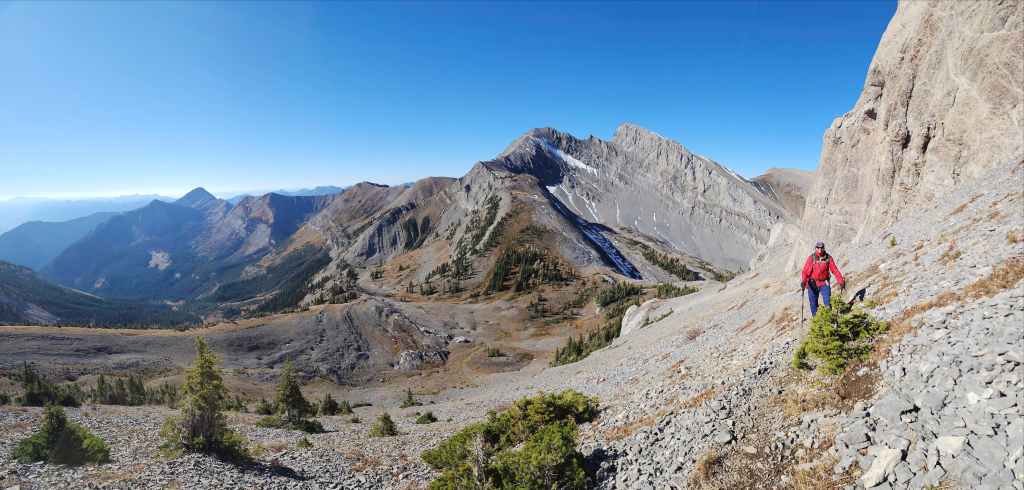
Yet another look back.
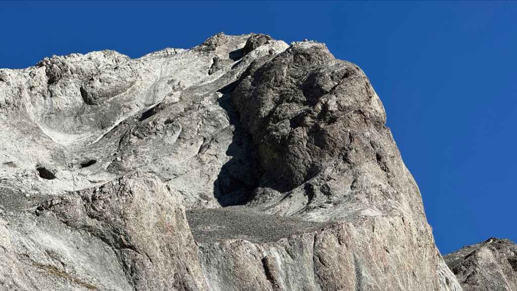
Interesting rock above us. (Photo by Andrew Nugara)
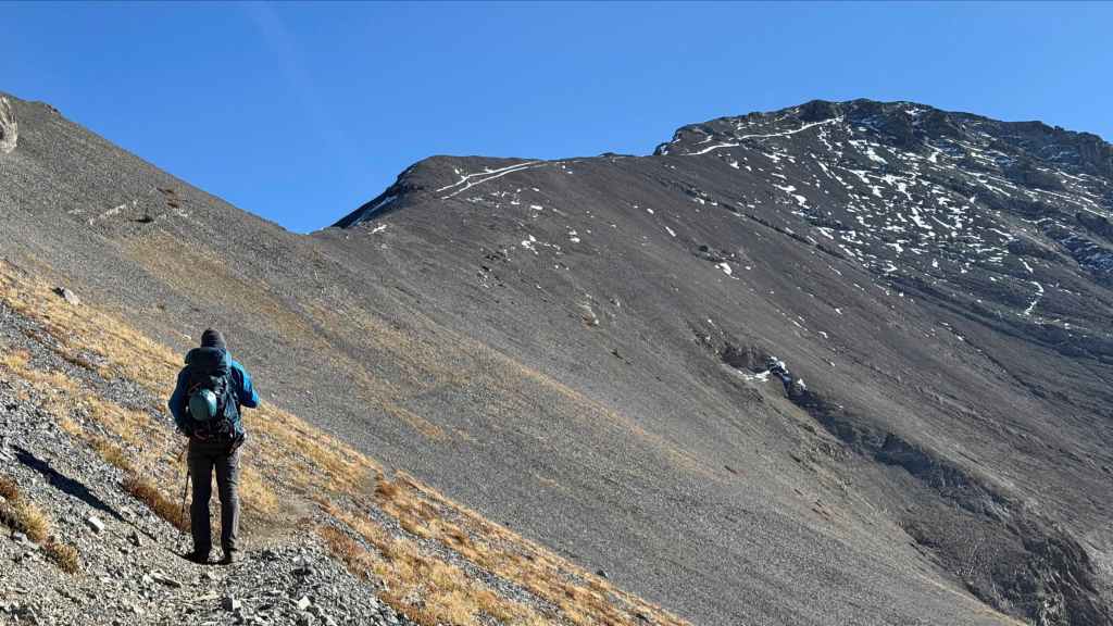
So close but so far away. 😂 (Photo by Andrew Nugara)
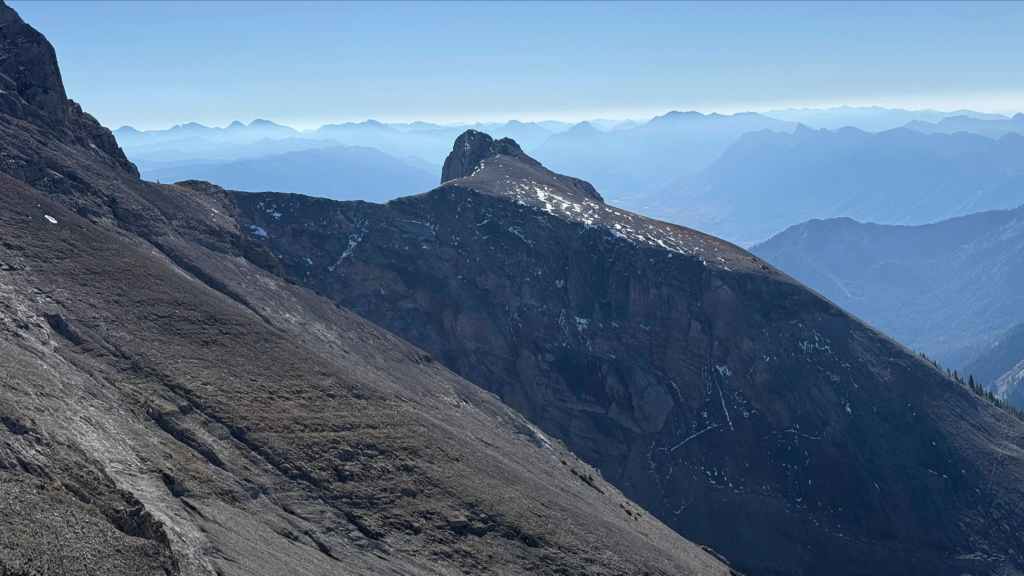
The most southern of the Three Sisters. From the summit of the middle sister, it looked quite possible to reach this peak and then either return back to the summit or drop down the slope on the right to Fairy Meadows. (Photo by Andrew Nugara)
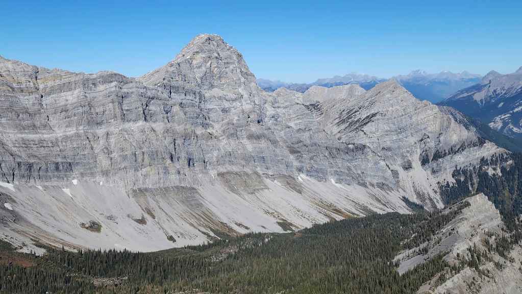
Now on a shoulder and getting a good look at Mount Bisaro along with our route in.
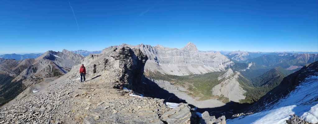
Like I said, there was no shortage of big views.

Looking north and toward Mount Washburn (centre).
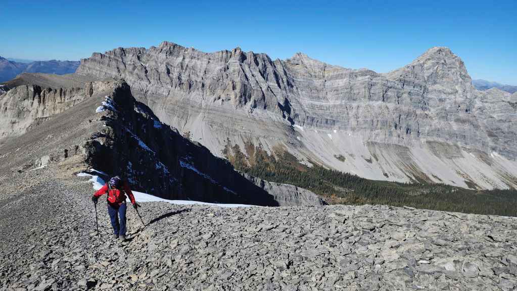
Leaving the shoulder and starting along the final section of trail.

Looking back to see that Aaron had caught up to Nathan and that they were right behind us. (Photo by Andrew Nugara)
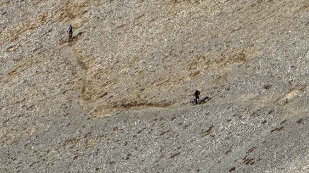
This was impressive to see! (Photo by Andrew Nugara)
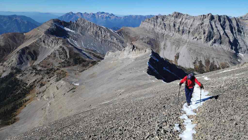
More big views from further up the trail.
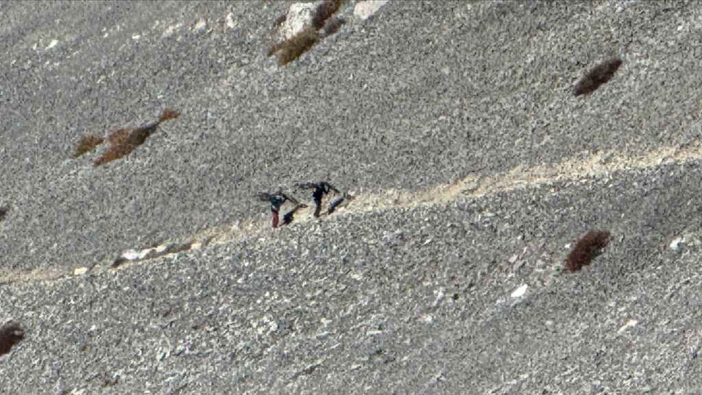
Holy crap! 😳 It’s one thing to hike normally, but to carry a bike is a whole different kettle of fish. Oh to be young again…. 😂 (Photo by Andrew Nugara)
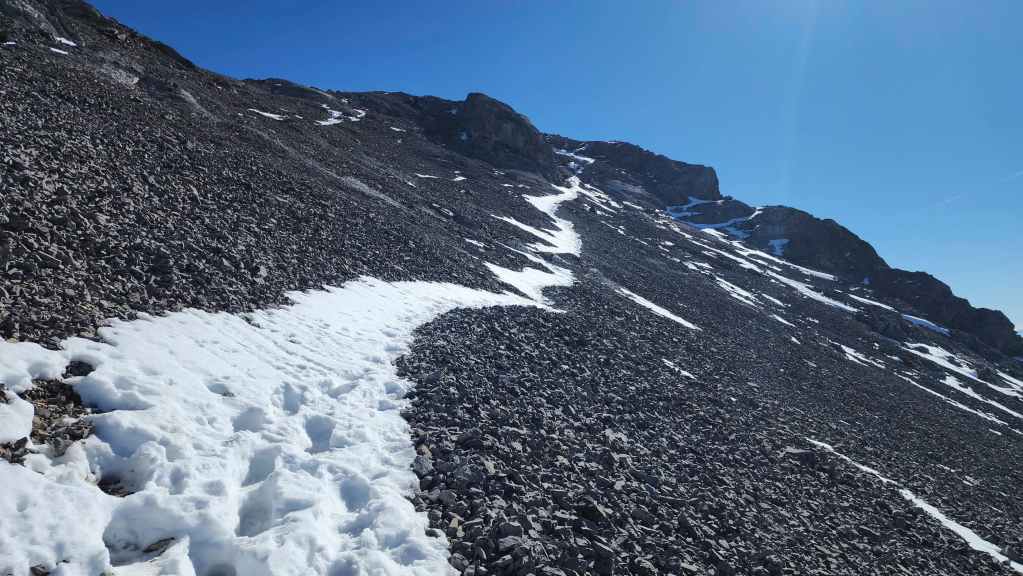
The last stretch before the summit. We had no idea how Nathan and his friend were going to ride this.
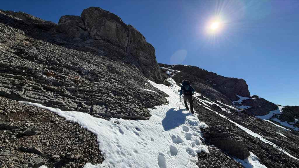
Nearing the top. (Photo by Andrew Nugara)

One final look back.
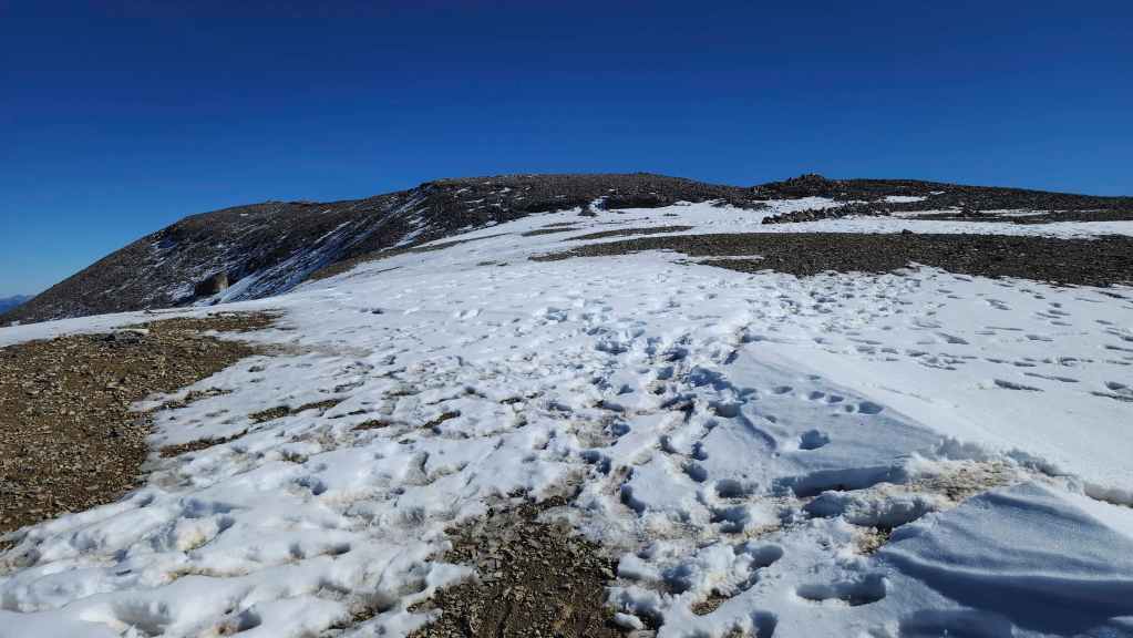
The summit (left) finally comes into view.
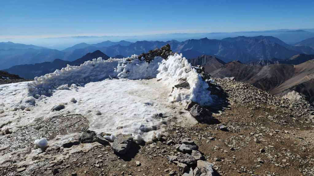
The bivy site where the group of eight had camped overnight.

Passing another bivy site.
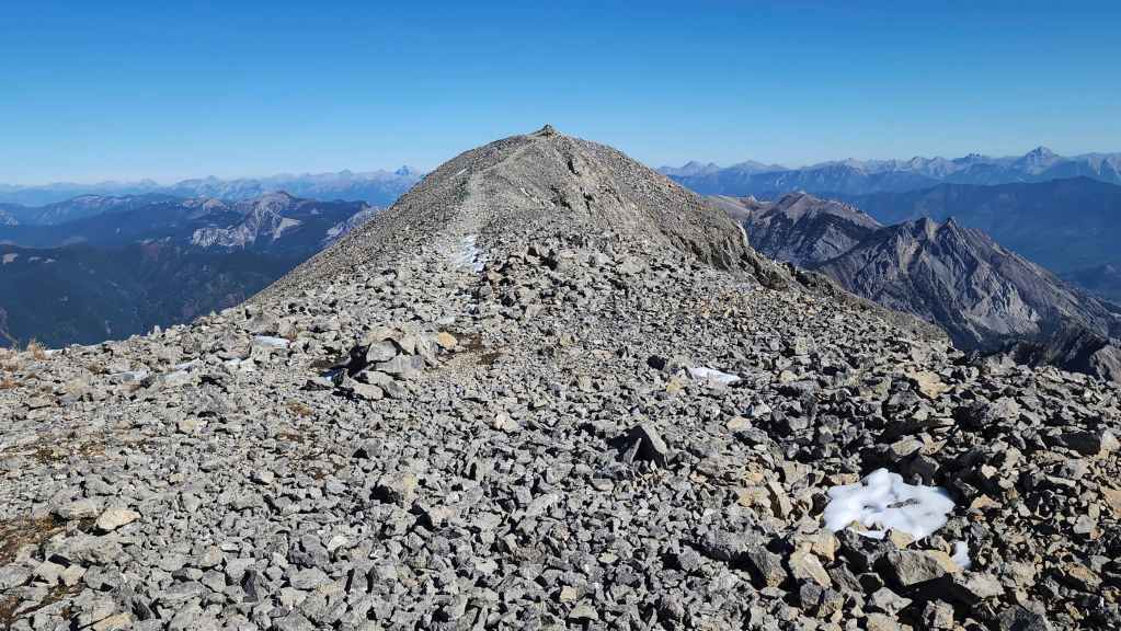
The summit of Three Sisters (2789 m). For reference, it took us 4 hours and 46 minutes over ~9.7 km.

A pano to the southwest…
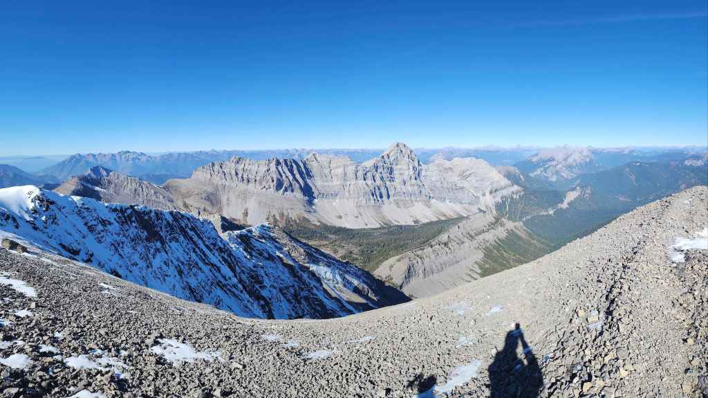
Followed by one to the west.

Gazing to the north…
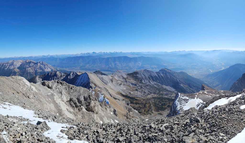
And finally to the east.
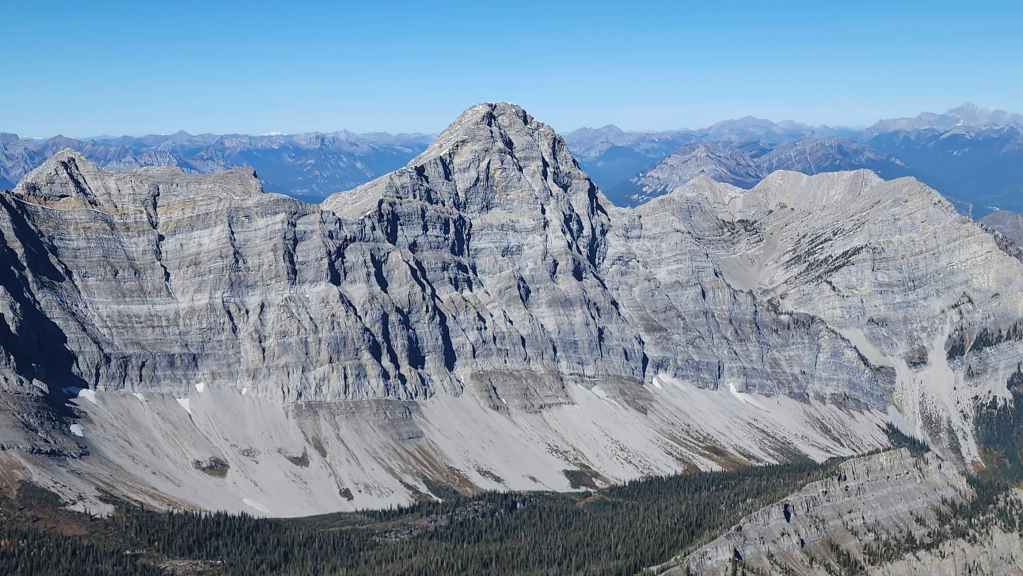
Mount Bisaro (2842 m) is 53 m higher than Three Sisters.
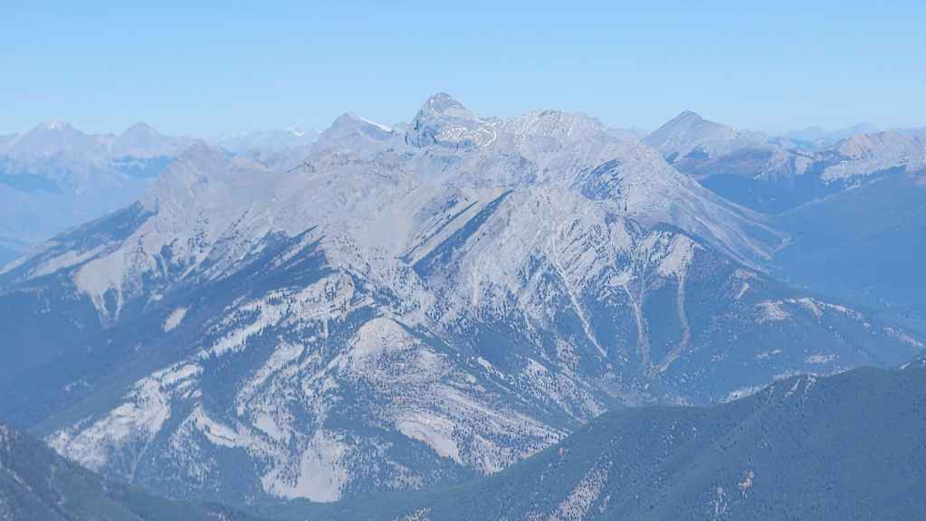
A telephoto of Mount Washburn (centre) and Mount Frayn (left of centre).
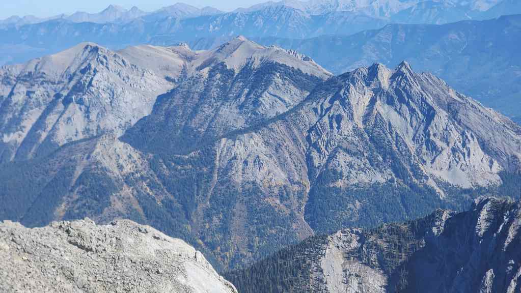
Mount Hosmer (centre) and Ghost Rider Peak (right). Ghostrider North is the small peak on the left. I will definitely be back for these and in so doing, will bring technical gear to overcome the crux on Ghostrider. 🙂
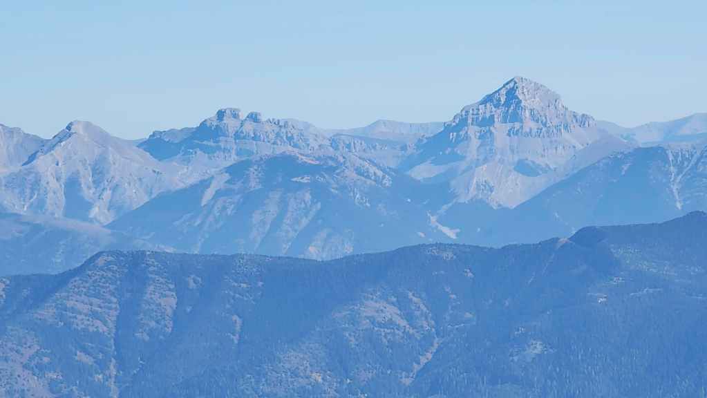
Looking from Three Sisters to the Seven Sisters (left of centre) with Omahkaistoo (Crowsnest Mountain) on the right. “Deadman Peak” is on the far left with “Alexander Creek Mountain” middle distance centre.

The summit of Sparwood Ridge (foreground centre) sits across the valley. Mount Tecumseh and Phillipps Peak are behind it on the right.
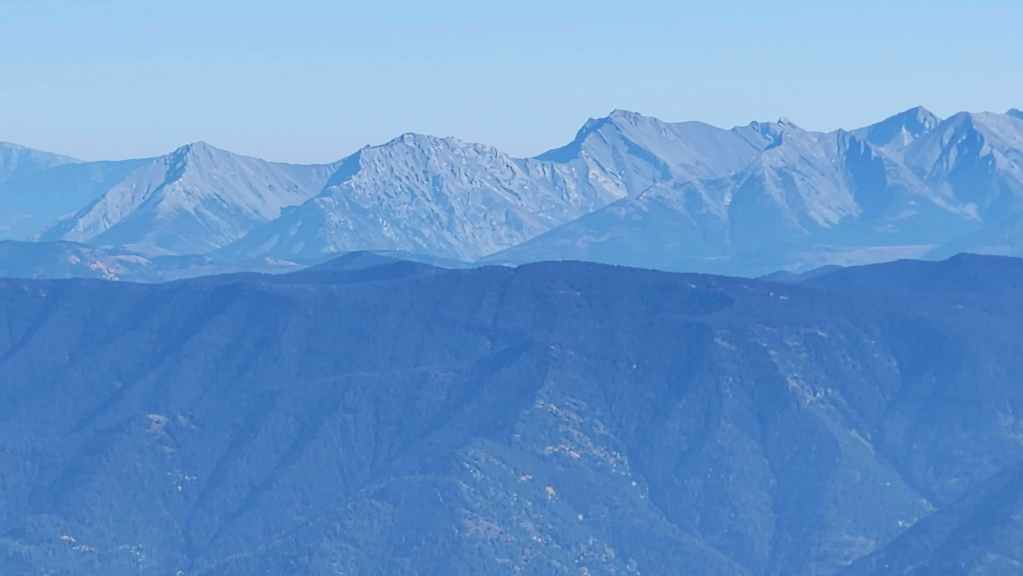
Hosmer Ridge (foreground centre) with Sentry Mountain (left), “Ostracized Peak” (left of centre), Chinook Peak (centre), Mount Parrish (right), and Andy Good Peak (far right).

A better view of mighty Hosmer Ridge. 😂
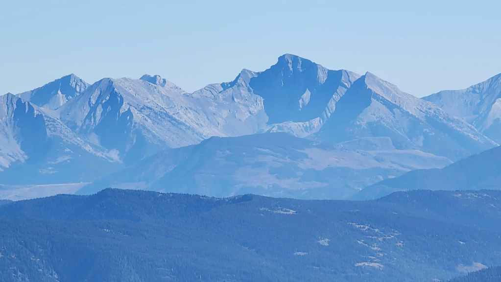
Mount Ptolemy (right of centre) used to be called Mummy Mountain because it looks like a recumbent pharaoh. The Northwest Ridge of Ptolemy is on the left.
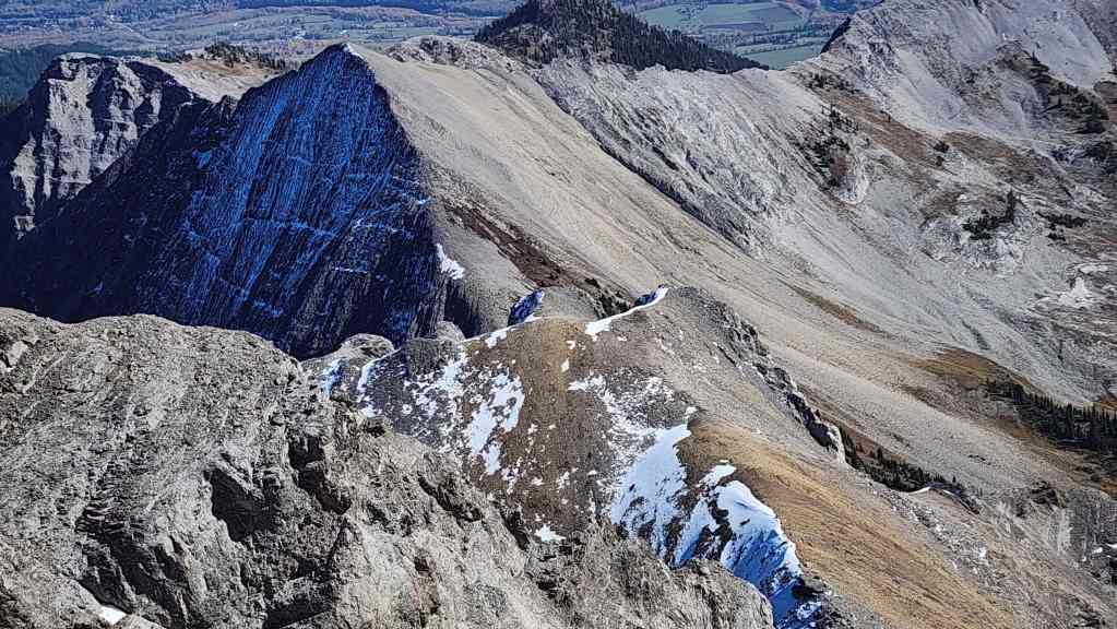
The northern sister.

Mount Proctor (centre).

The southern sister that we had viewed from the trail. Again, I would imagine that people reach it from here and then either climb back up or drop down to Heiko’s trail in Fairy Meadows.
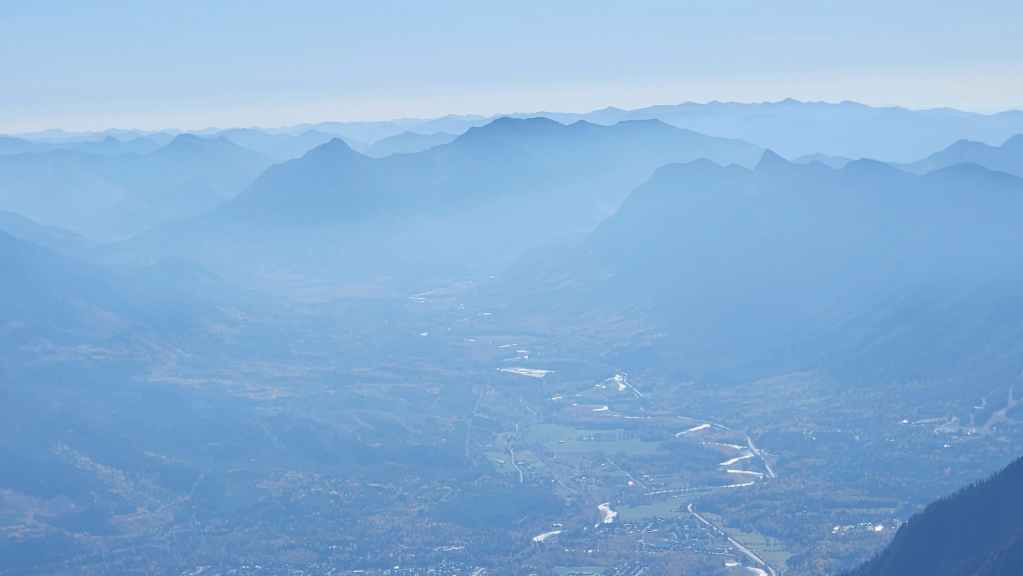
A hazy Mount Broadwood (centre) sits to the south.
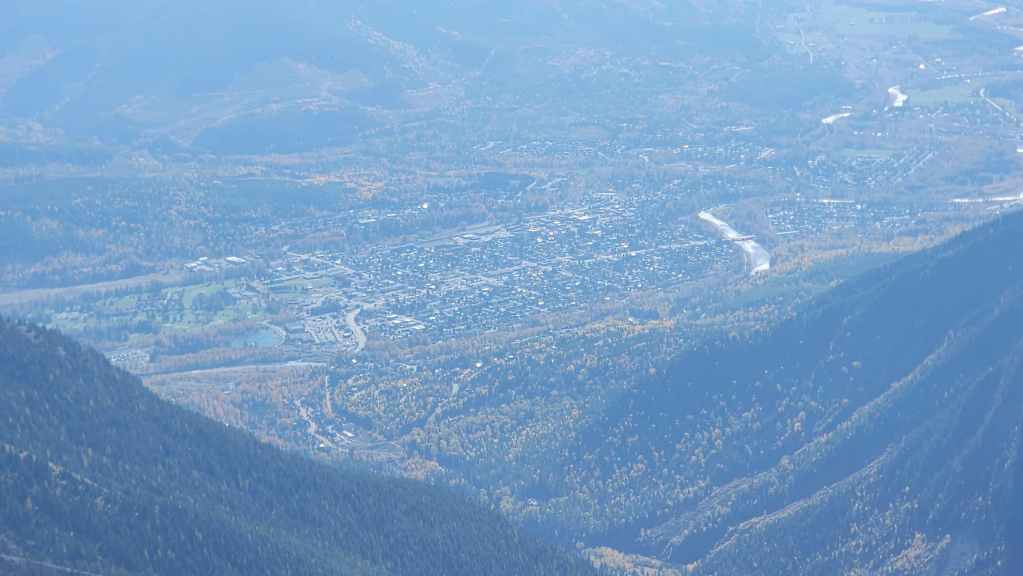
The Town of Fernie.

Mount Fernie (right of centre) sits to the southwest.

Gazing to the west at Bull Mountain (far left), The Steeples (right of centre) and Hungary Peak (far right).
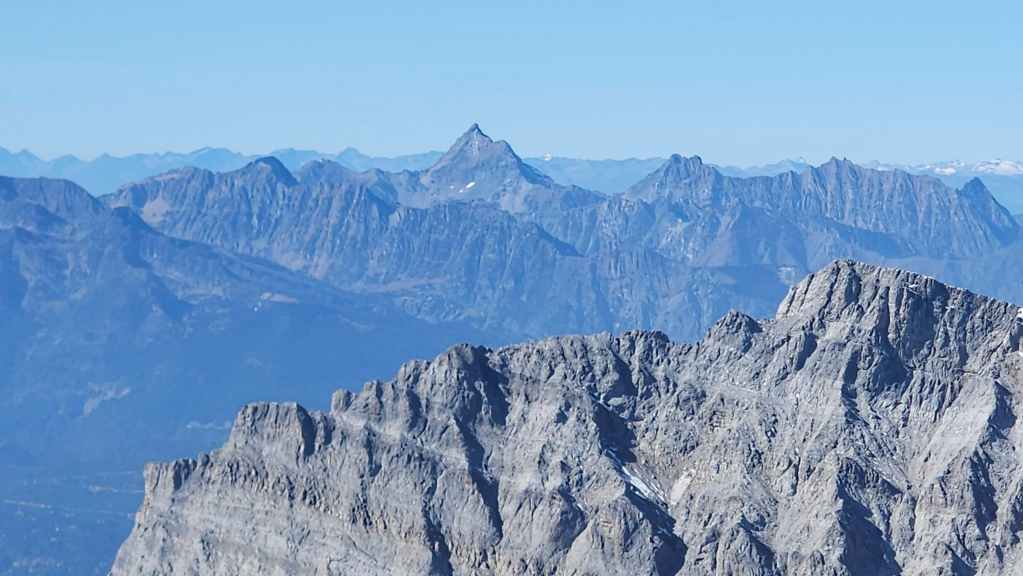
Mount Fisher (centre) is a really intriguing peak.
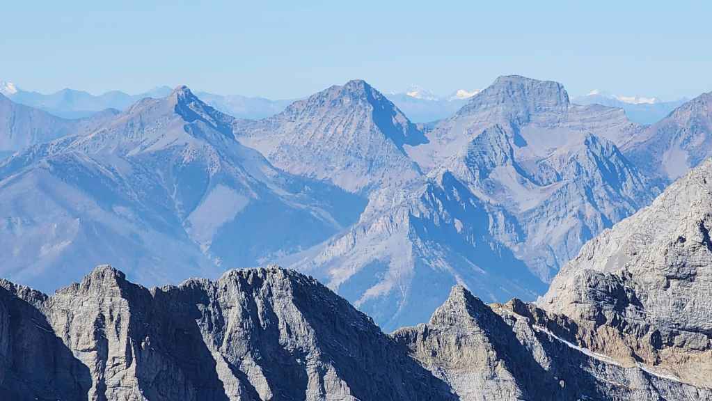
Mount Haley (centre) and Mount Sneath (right).
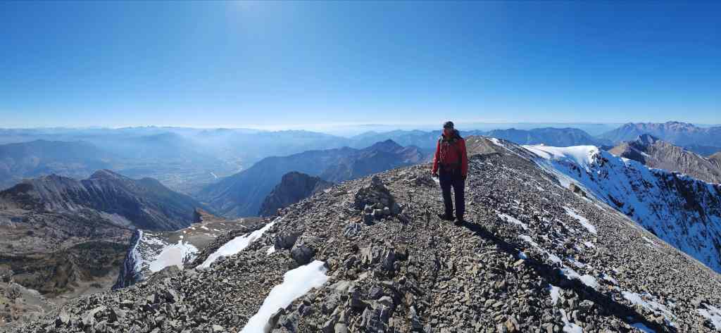
What a gorgeous day! 🙂
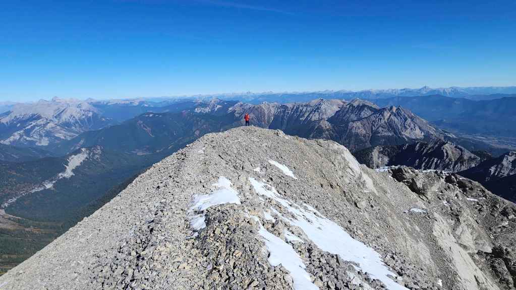
Andy checks out the views from the end of the summit.
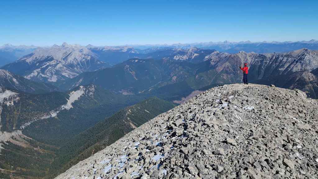
The same as the previous photo.
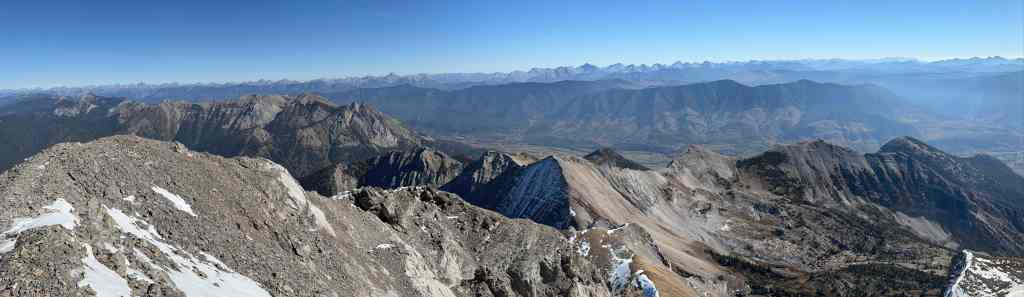
A pano to the east… (Photo by Andrew Nugara)
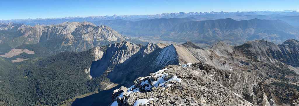
Followed by another. (Photo by Andrew Nugara)

Andy’s view back to me. (Photo by Andrew Nugara)
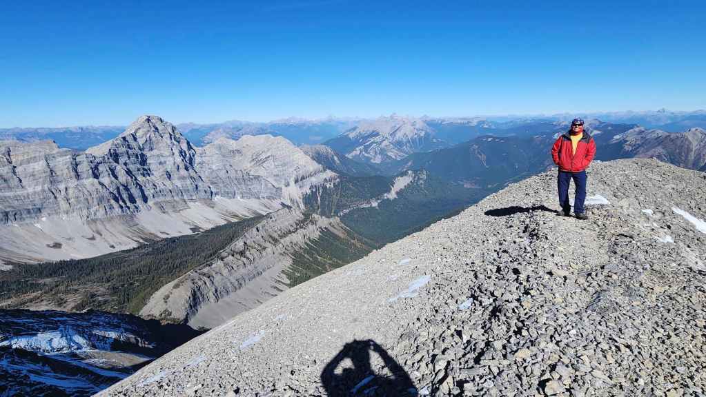
A warped view of Andy. How bizarre! 😂

A pano of the previous photo wth 90% less warping.
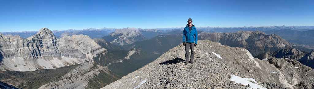
Speaking of warped individuals 😂. (Photo by Andrew Nugara)
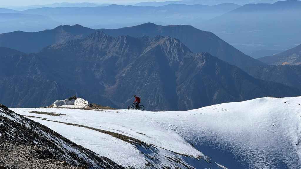
Wow! They made it! (Photo by Andrew Nugara)
Hiking your bikes up this far is crazy, but then again, so is riding them down. 😳

Nathan arrives on the summit.
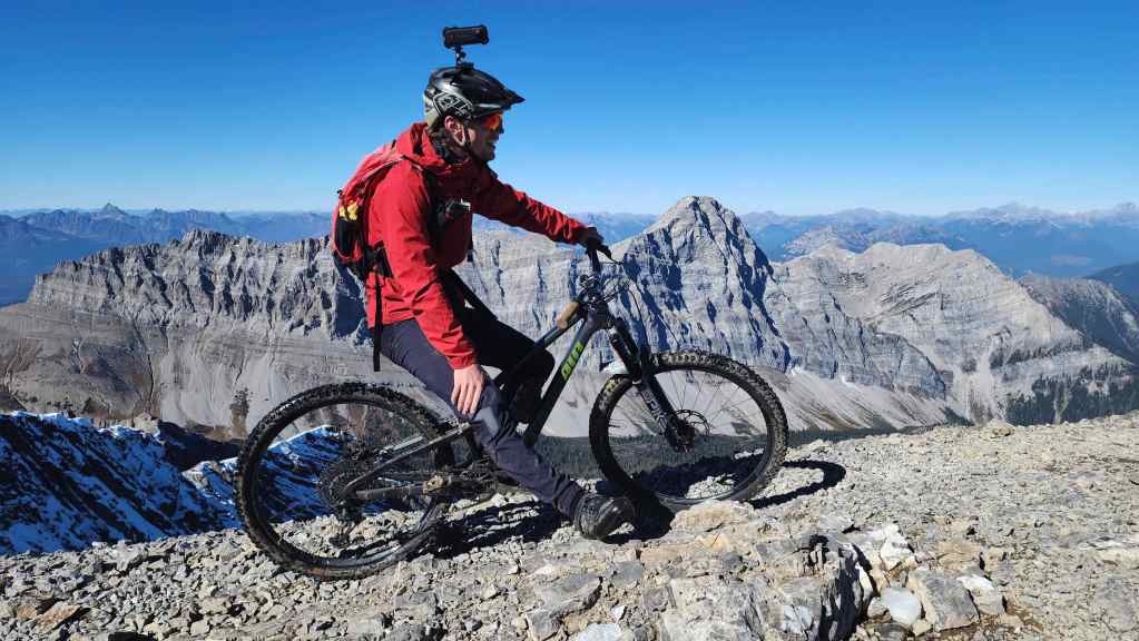
A very impressive feat!
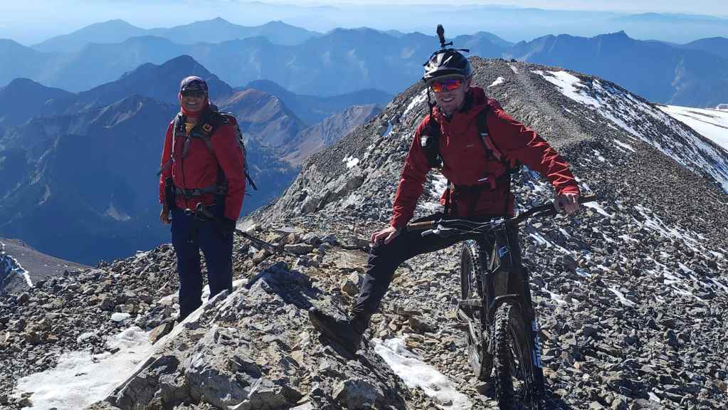
A guy from Rugby and a guy from Liverpool.
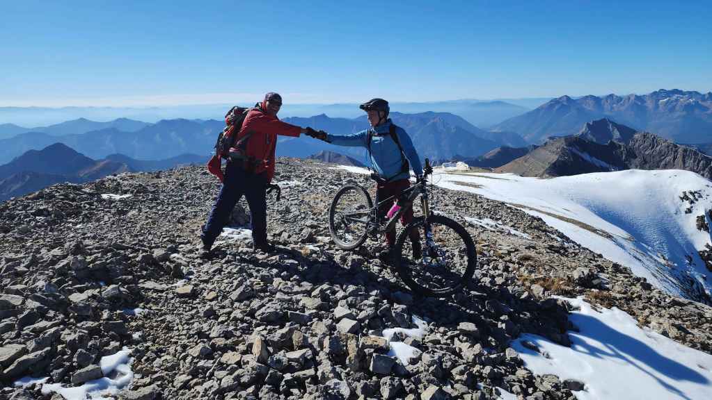
Andy congratulates Aaron. At this point, I found myself surrounded by three Englishmen. 😂
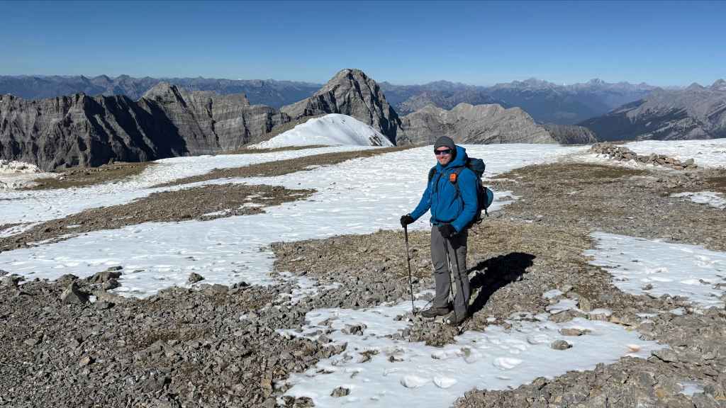
Time to head back. I felt like it was my duty as the parent of boys myself, to remind the lads to be careful on their descent. 🙂 We were super impressed by them and what they were doing, but at the same time, both Andy and I felt like we needed to keep a close watch in case anything happened. (Photo by Andrew Nugara)
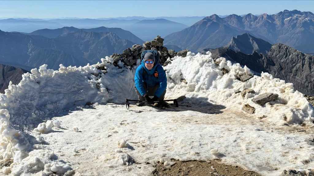
I test the wind screen at the bivy site. (Photo by Andrew Nugara)

Andy pauses to take a few more photos.

Looking back to the summit. (Photo by Andrew Nugara)
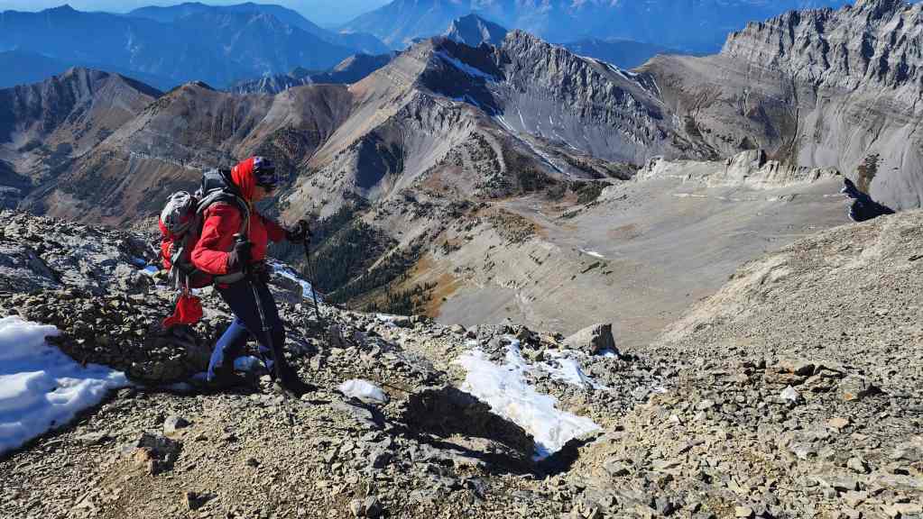
Starting down the trail.
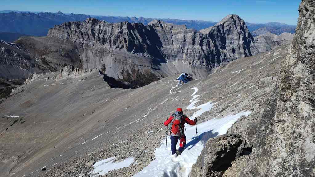
The snow actually made things easier; though I’m not sure it would be easy to ride.

Still enjoying the great views.

A pano of the previous photo.
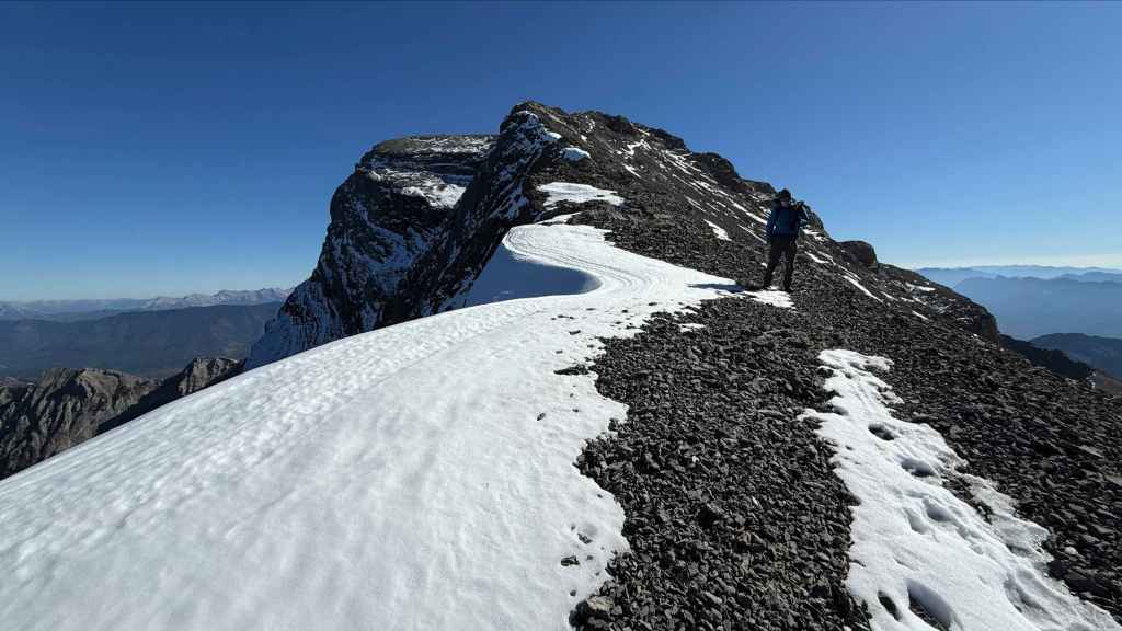
Andy’s view back and along a curved cornice. (Photo by Andrew Nugara)
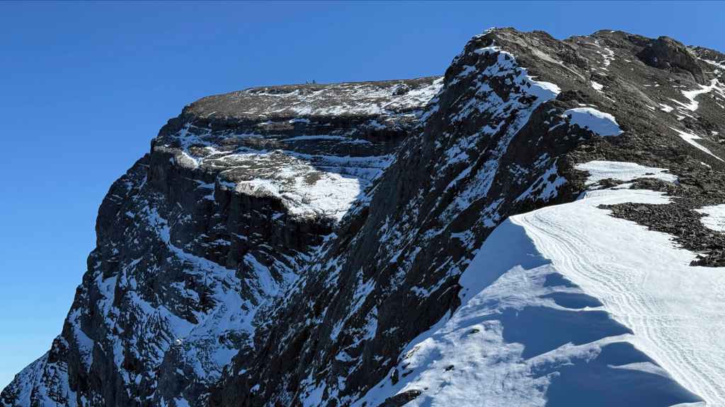
Our English friends are still on the summit; probably waiting patiently for the two old men to clear the tracks. (Photo by Andrew Nugara)
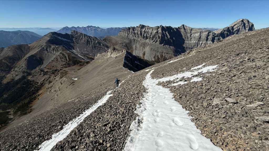
What a day to be in the mountains! (Photo by Andrew Nugara)
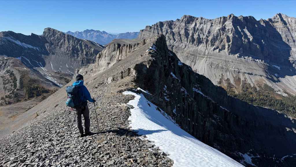
Leaving the ridge. (Photo by Andrew Nugara)

There they are! Riding where they can and walking when that wasn’t possible.
Closing in on Three Sisters Pass. (Photo by Andrew Nugara)
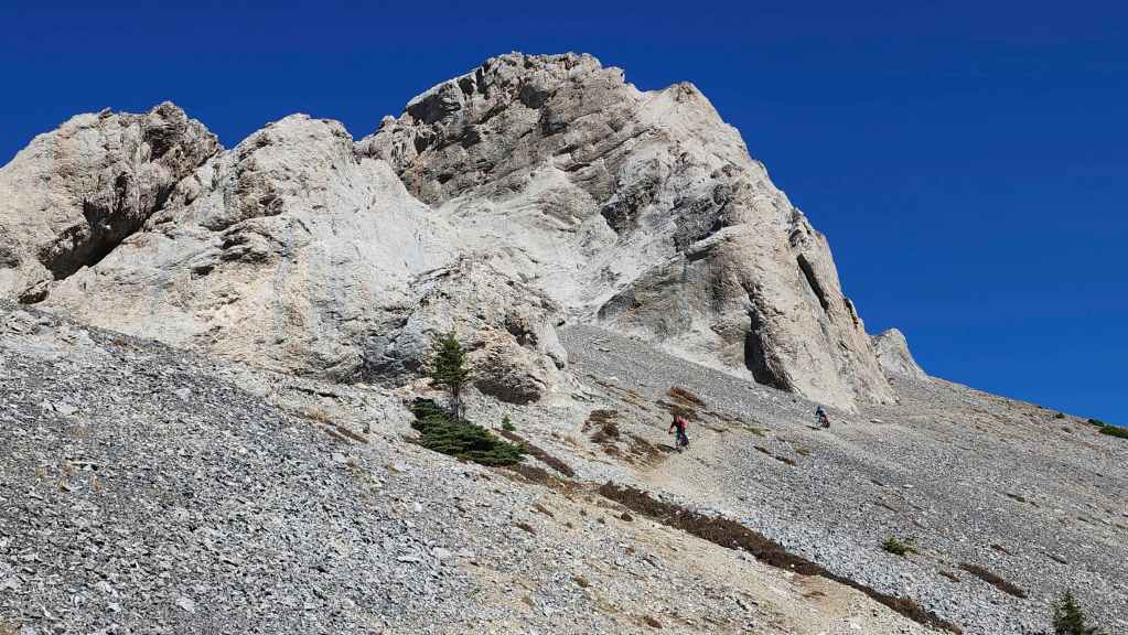
Here they come!
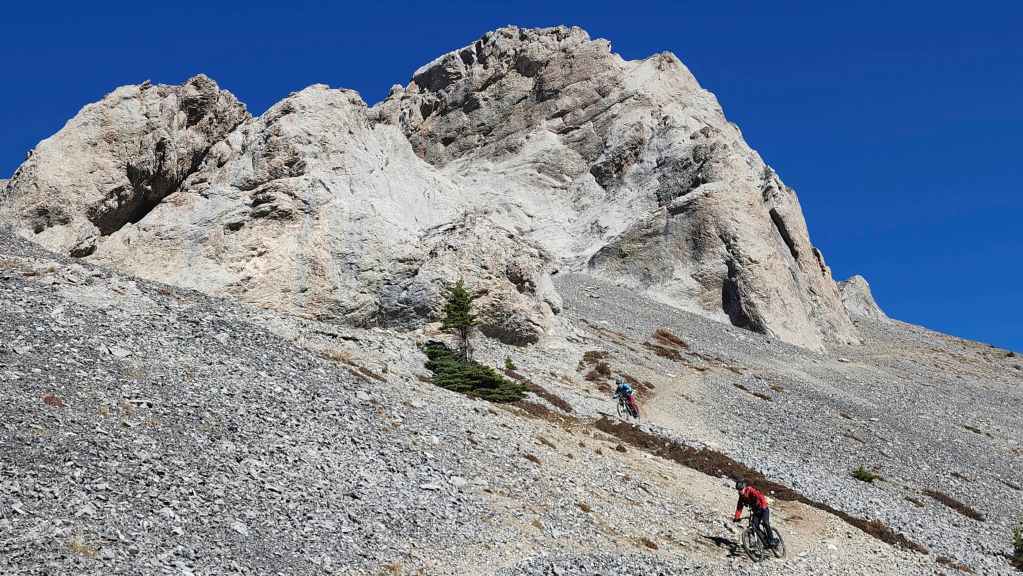
Wow! That was super cool to see.

And most importantly, they survived! 🙂
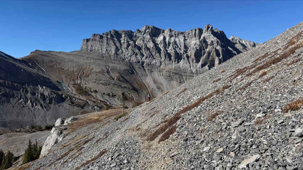
And just like that, they were gone. Well done guys! 🙂 (Photo by Andrew Nugara)

A good view of the tarn (centre) as we descend to the Pass. (Photo by Andrew Nugara)
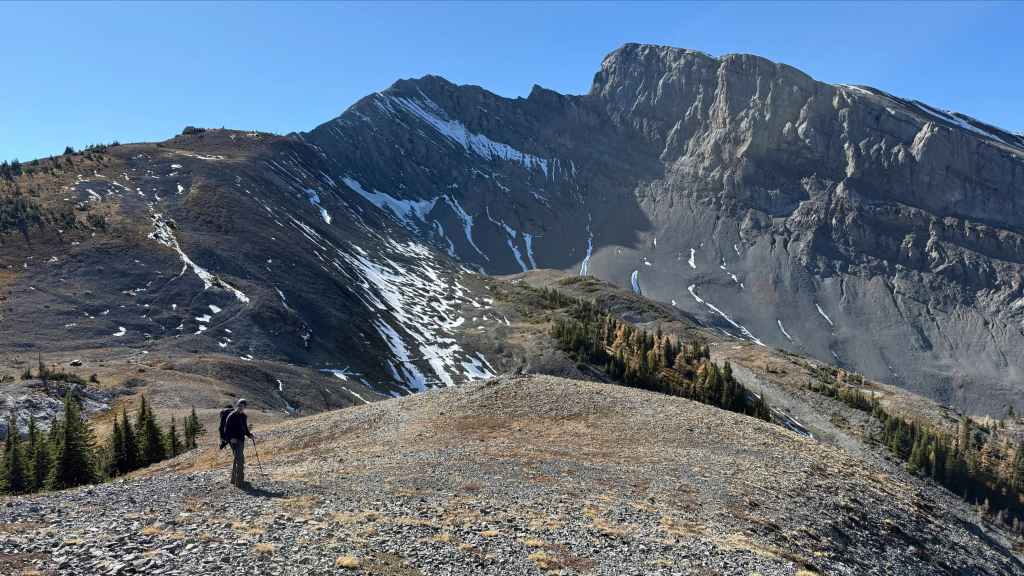
A final look at Bisaro S4…. (Photo by Andrew Nugara)
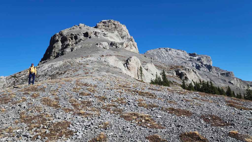
Followed by one last look at Three Sisters.
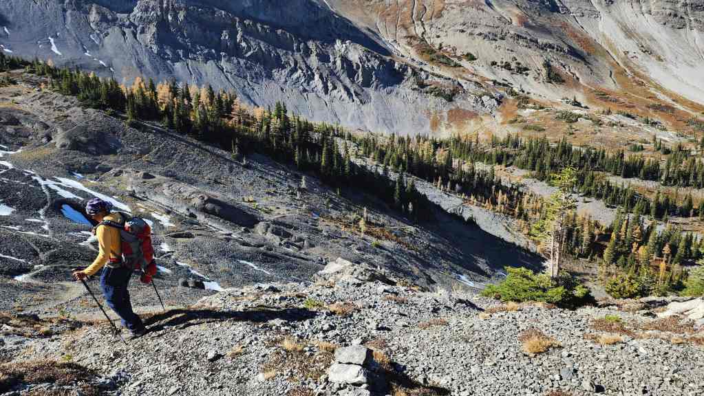
Descending from Three Sisters Pass.
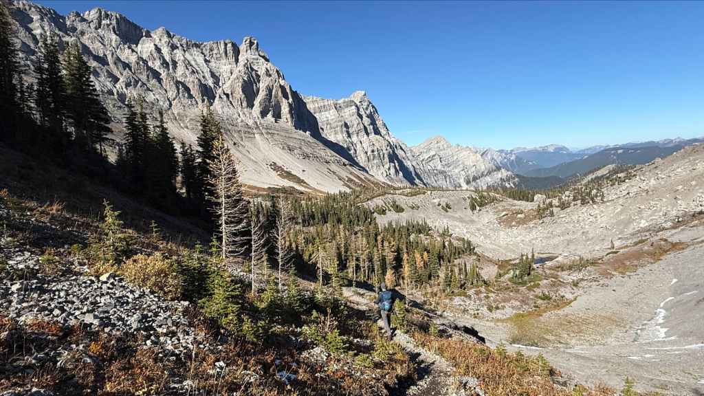
Having an amazing trail for the entire day was such a treat – especially when it came time to head home. (Photo by Andrew Nugara)
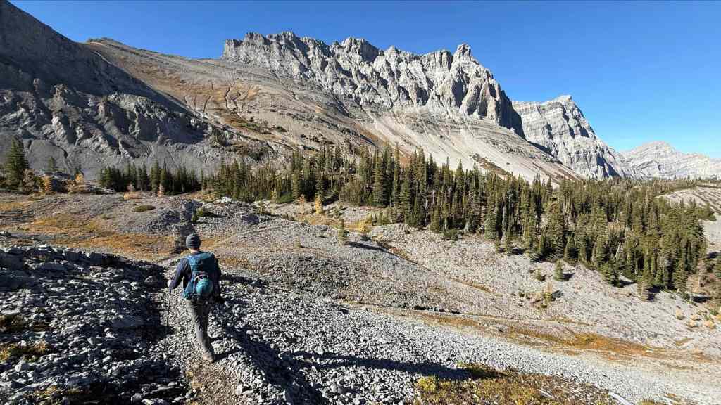
From this point to Bisaro Canyon, it would be a quick and easy descent – except for some muddy and slippery sections on Shady Lane. (Photo by Andrew Nugara)
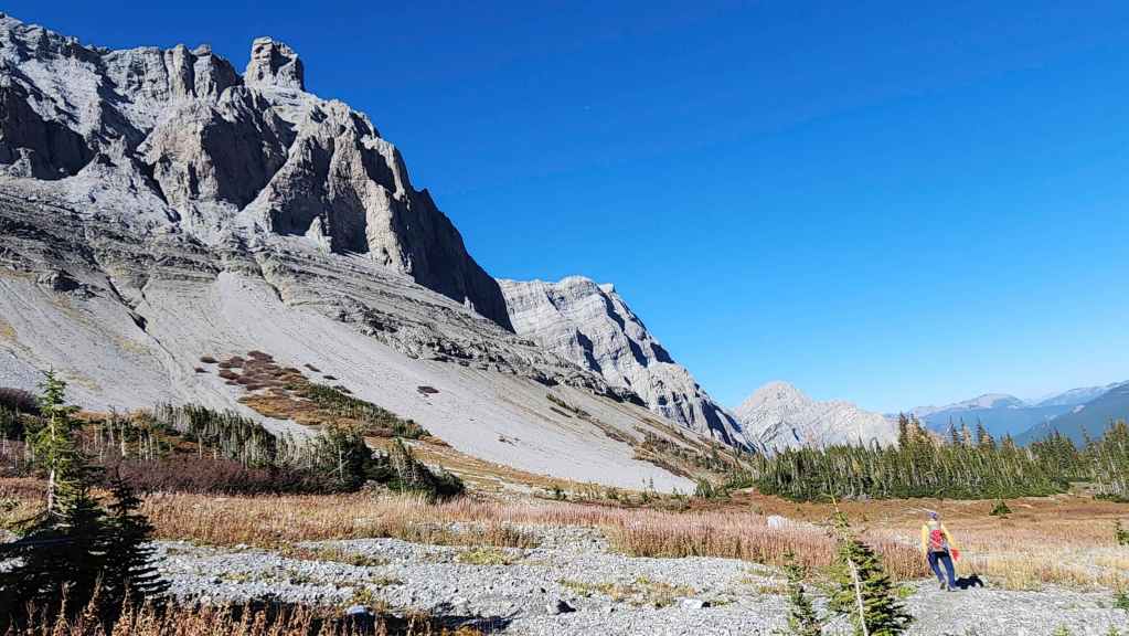
One more look at the rock formation (upper left) on Mount Bisaro.

Making good time. I can only imagine how quickly those English guys covered this on their bikes. That they also rode up, makes me tired to even think about. Oh the joys of youthful energy! 😂
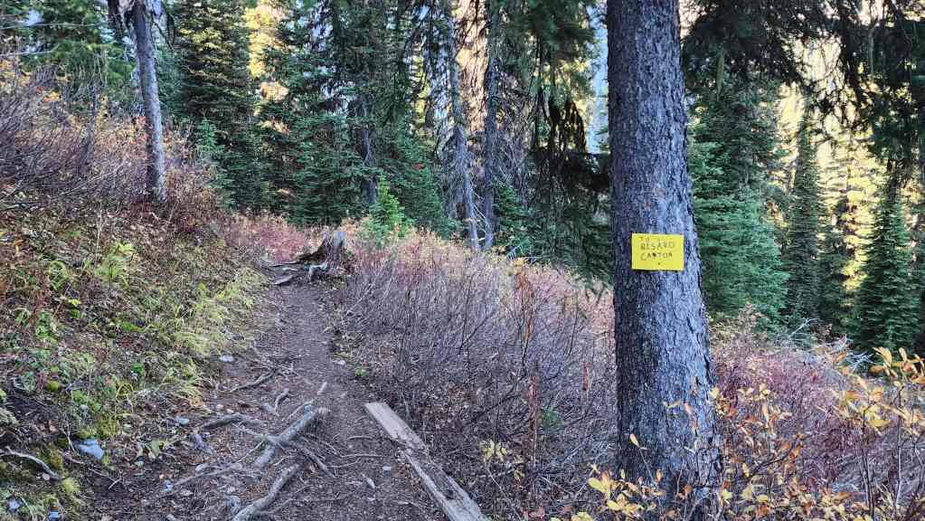
Since we bypassed Bisaro Canyon on the way up, we decided to visit it on the way down.
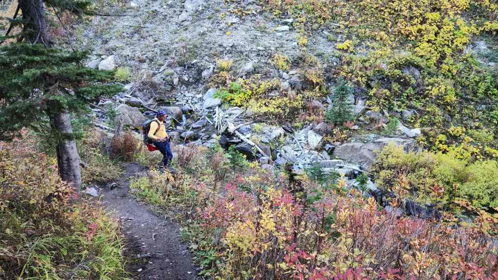
Andy arrives at Bisaro Canyon on Sulphur Creek.
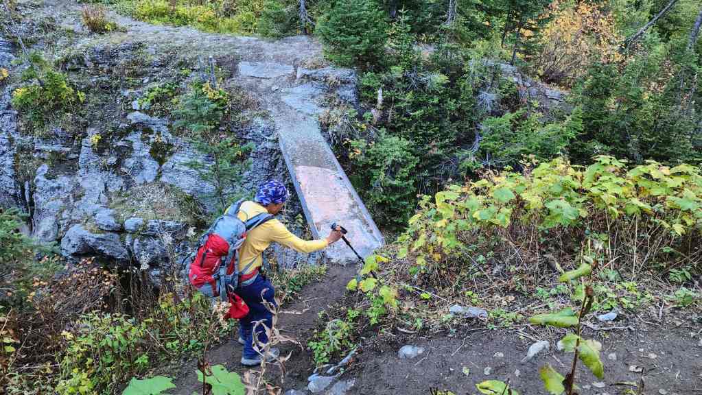
The bridges were steel I-beams chained to the rock.
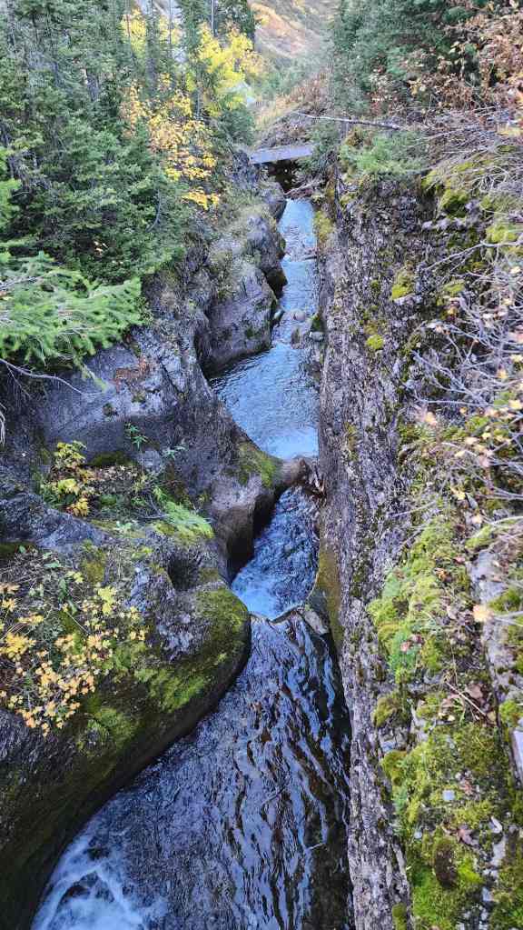
The view down the canyon to the lower bridge.

A small waterfall sits just above the upper bridge.

Of course, I absolutely have to include Andy’s photo. 🙂 (Photo by Andrew Nugara)
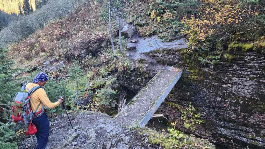
Crossing the lower bridge. A chain is bolted on the other side to assist hikers over the wet rock.

The view up Bisaro Canyon to the upper bridge. (Photo by Andrew Nugara)

Bisaro Canyon was yet another interesting feature that made this trip so much fun. (Photo by Andrew Nugara)
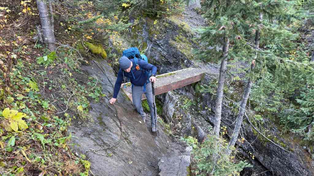
I gingerly cross the wet rock. (Photo by Andrew Nugara)
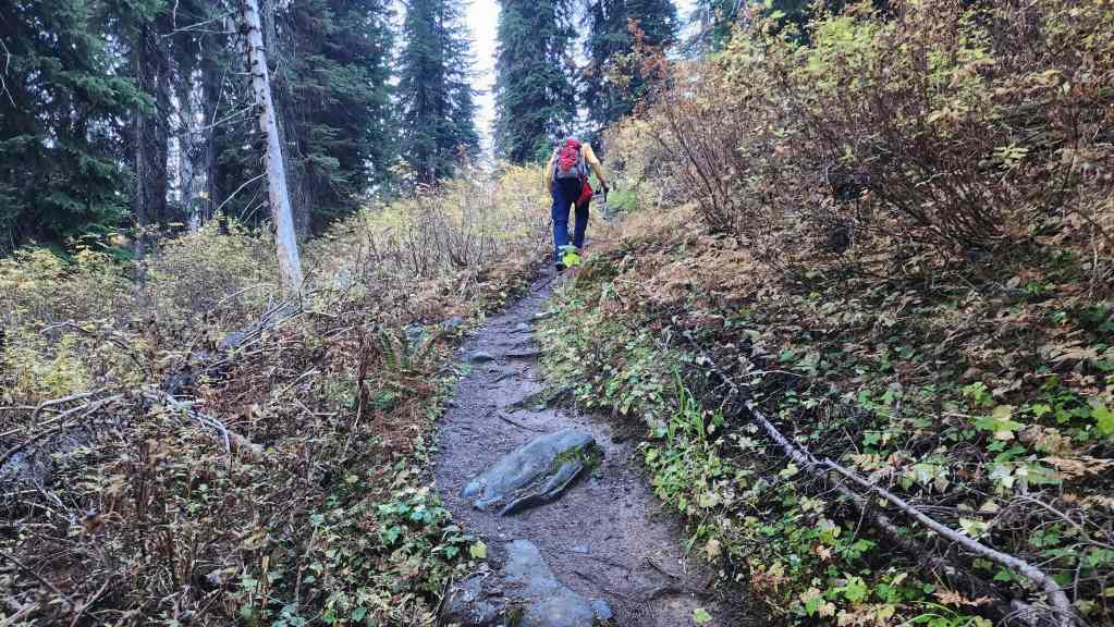
Heading back to Bisaro Cave.

Arriving at the junction with the bypass. (Photo by Andrew Nugara)
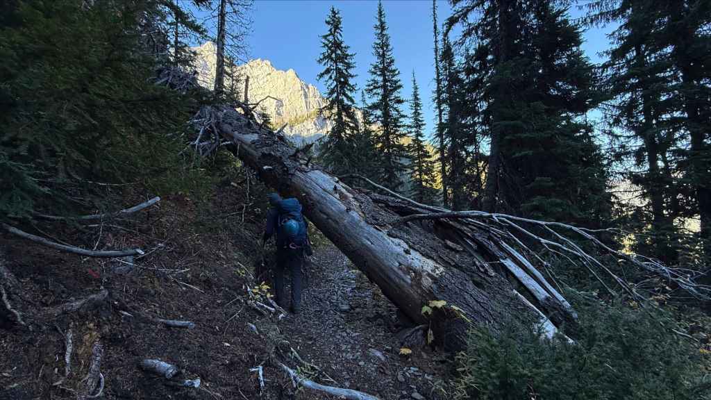
Ducking under a massive Douglas Fir. (Photo by Andrew Nugara)

Andy checks out Bisaro Cave one last time.
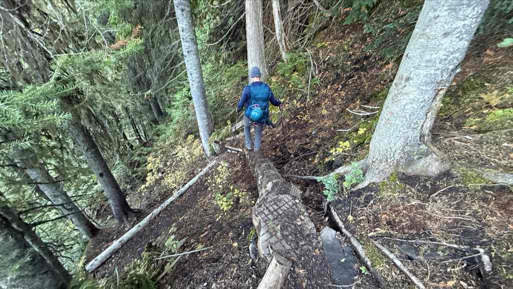
Easy does it! A day’s worth of hikers over a muddy trail certainly greased things up. Good thing we both grew up on playgrounds with lead paint and concrete! 😂 (Photo by Andrew Nugara)

Climbing down a ladder. (Photo by Andrew Nugara)
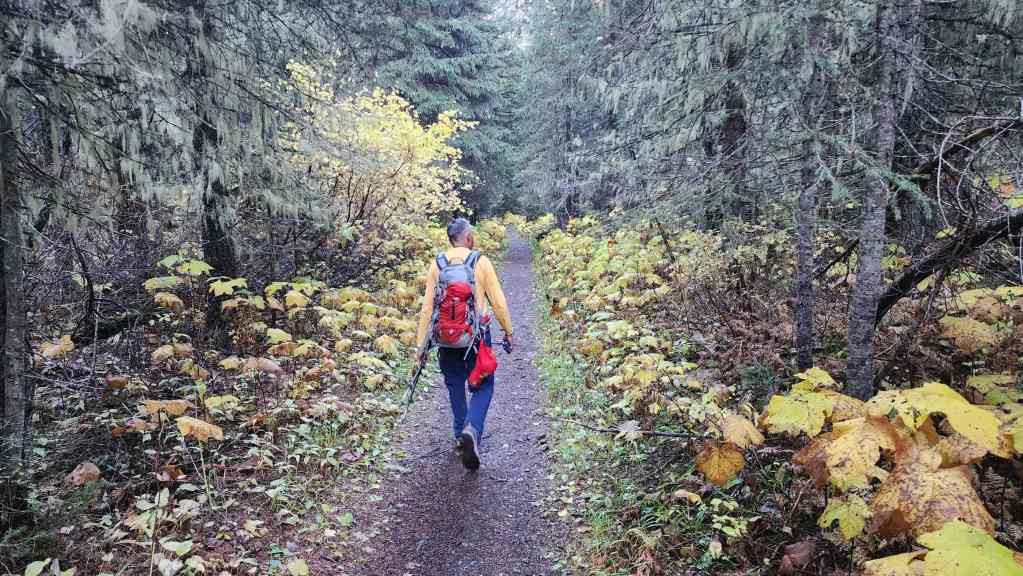
Easy hiking over the final section of trail.
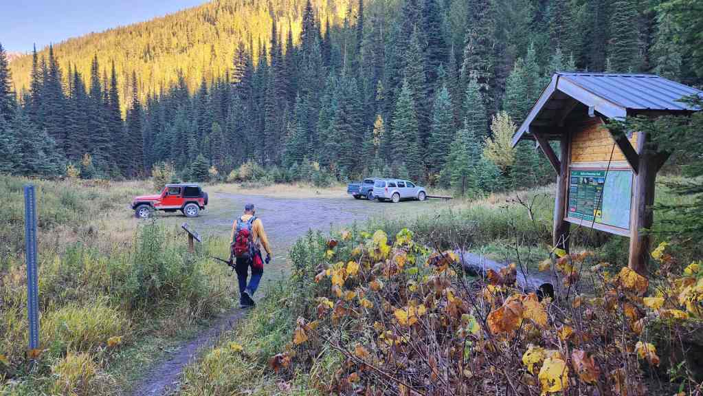
Arriving back at the trailhead 8 hours and 46 minutes after starting. Outside of losing a very expensive piece of technology, this was an absolutely fantastic trip. We were completely blown away by the quality of the trail along with the variety of interesting features such as Bisaro Cave and Bisaro Canyon. I’d totally hike this trail again and now I’m curious what it’s like between Three Sisters Pass and Fernie. Huge thanks to Andy for yet another brilliant – note the homage to my English friends – day! 🙂


Leave a Reply