

⚠️ Hiking and scrambling are inherently dangerous activities. Please read my Disclaimer. ⚠️
Waylaid for the last few weeks with whatever hellish virus is going around, I was anxious to get out for a trip. However, as the beast still resides within my lungs, I wanted to make it a short trip but at the same time, avoid a repeat.
Enter Hosmer Ridge. After tagging most of the official ridges in the Corbin area, only Hosmer was left to conquer. 😂 Though there’s nothing difficult when it comes to ascending these lowly ridges, the main obstacle has always been access. Indeed, over the past decade, resource companies have restricted public access to ridges such as Hosmer, Marten, Sparwood, Loop, Michel Head, and Leach.
However, these companies appear to have finished their work and many of the ‘No Access’ signs have been removed, thus allowing legal access to these diminutive summits. Of course, one of the benefits of resource extraction is the construction of new roads and bridges – many of which, do not yet appear on maps.
For example, last spring, Andy and I hiked and snowshoed to the summit of Marten Ridge and afterwards, spent some time exploring the unmarked backroads around Wheeler Creek. Though we were eventually stopped by deep snow, we gleaned enough information to conclude that an ascent of Hosmer Ridge from Wheeler Creek was entirely possible.
Previously, I had contemplated using old logging roads to ascend Hosmer from the south, which might work, but also involves a lot of distance. Devan Peterson ascended Hosmer as a loop from Marten Ridge, but his descent route lay on the opposite side of the unnamed intervening ridge between Hosmer and Marten. However, after our previous explorations on the new access roads, an ascent from the valley between the unnamed ridge and Hosmer looked to be much quicker than a route from the south. Hence, the secondary purpose of today’s trip: to verify if our hunch was correct.
In fact, we joked as we started that it would be nice if there was a road all the way to the summit – and low and behold, there was! 😀 It was not marked on any map we were using, but it might be labelled on map of local OHV trails… 🤔 Of course, we were just going by instinct as we picked which roads to follow and eventually, we ended up leaving a small trail to make a direct ascent onto the ridge. However, once on the ridge, we encountered a well-used OHV trail that appeared to lead directly down to the valley we had just come from. Moreover, it also led directly to the summit.
On our way back, we followed the OHV trail and sure enough, it led onto the small trail that we had left on ascent. This made descent very quick and we were soon back at my truck. Indeed, we can now conclusively state that there is a definitive trail that leads directly to the summit of Hosmer Ridge from our starting point on Wheeler Creek. 😀
It may even be possible to e-bike (which I don’t own) a large portion of the trail but overall, the hiking approach is not long. In fact, we were surprised at how quick the trip was and it would have been even quicker had we ascended using the OHV trail. Even after spending a good 20 minutes or so on the summit, the entire outing only took us 4 hours and 30 minutes. I should note, that the major drawback to Hosmer is the lack of views. There are some, but not in the abundance one would like.
As always, a huge thank you to Andy for a great day in the mountains and for putting up with the moose who were attracted by my occasional fits of coughing. I have no idea what this virus is, but it’s been 3 ½ weeks which is a heck of a long time when it comes to a man cold. 😂
Be sure to read Andy awesome trip report! [link coming]
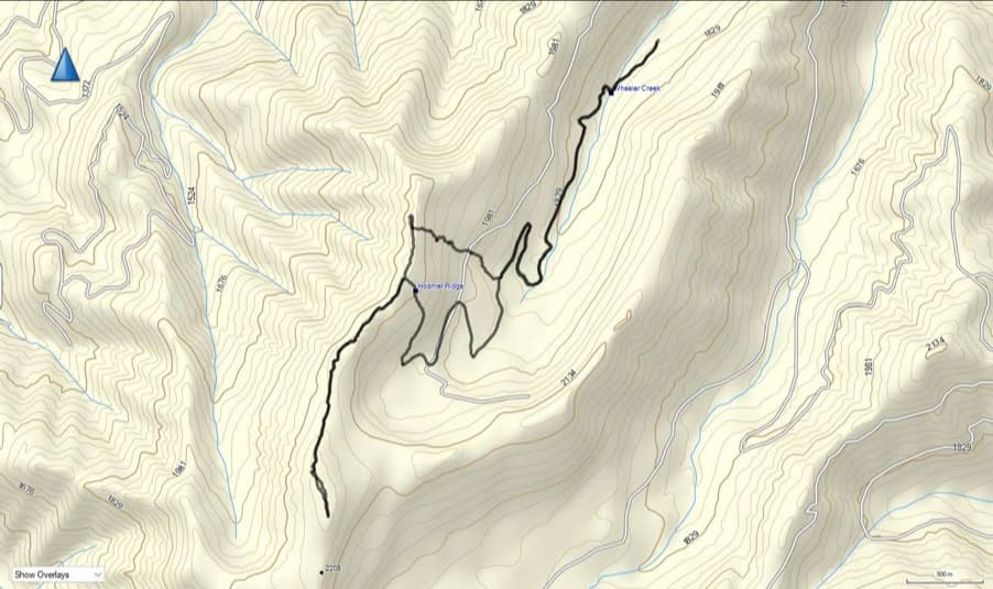
To get to Hosmer Ridge, we drove west on Highway 3 from the Crowsnest Pass until we came to the Corbin Road turnoff. We then turned onto Corbin Road and drove for another ~8.2 km until we came to a gated road on our right.
After turning off the Corbin Road and onto the gated road, we followed it for ~800 m until we came to its junction with the Wheeler Creek Road on our right. We then turned onto Wheeler Creek Road and followed it for another ~3.8 km; crossing one bridge until we came to the junction to Sparwood Ridge on our right.
Here, we kept to our left and crossed a second bridge immediately after the junction. From the bridge, the road begins ascending and we followed it for another ~2.4 km until we came to large area where a decommissioned road joins the main road. This decommissioned road (marked by an old swing gate) was our starting point. For reference, from the start of Wheeler Creek Road to the trailhead, it was ~6.2 km.
From the trailhead, we followed the decommissioned road for ~450 m until it abruptly ended beside Wheeler Creek. However, an OHV track led across the creek and onto a logging road immediately on the other side. We then followed the logging road for ~50 m until we came to a junction with a road on our right.
Here, we turned right and proceeded to follow the road for ~2 km – including around a large switchback – until we came to smaller trail on our left. For reference, from the trailhead, it was ~2.5 km to the junction with this small trail.
We then followed the small trail for ~430 m until we came to what looked to be a single track trail leading up and towards the ridge. Now here’s where I’ll say that it would have been better for us to have kept following the trail for another ~1.8 km; using our descent route as the ascent route. However, we didn’t know this at the time, so the single track looked inviting.
We followed the single track for a while until it disappeared; however, we were far enough along that we were committed to not backtracking. We more or less headed straight up from the small trail to the ridge. The bushwhacking was mild to moderate in places and as we drew close to the crest of the ridge, we began to come across very old and overgrown logging roads every 20 m or so. Eventually we emerged onto the ridge ~895 m (248 m elevation gain) after leaving the small trail.
Now on the ridge, we headed north for a short distance just to get a view to the west. We then began to follow the ridge towards the summit which sat ~2.2 km to the south. However, ~425 m after starting towards the summit, we encountered an OHV trail. We then followed this all the way to the summit.
After spending 20 minutes or so on the summit – we ventured further to the south to get a better view to the west – we returned the way we came until we got to the point where we initially joined the OHV trail (~1.8 km from the summit). We then decided to follow the OHV trail off the ridge to see where it led.
From the ridge, we followed the OHV trail for ~660 m (122 m elevation loss) until it intersected with the small trail that we had left to ascend directly onto the ridge. Its junction was a bit obfuscated and could be missed on ascent, but we turned left (north) and onto the small trail (which continued south from the junction) and followed it for ~2.1 km until we came to its junction with the larger trail. Along the way, we passed the point where we left it for the singletrack.
We turned right at the junction and followed the larger trail for ~2 km back to the creek crossing and then another ~450 m back to the trailhead. For reference, if we had used our descent route for ascent, it would have been ~7.1 km (577 m elevation gain) from the trailhead to the summit along a series of relatively easy trails.

Our total roundtrip distance was 14.3 km with a total elevation gain of 665 m. Our total roundtrip time was exactly 4 hours and 30 minutes which included a summit stay of 20 minutes or so. For reference, had we followed our descent route on ascent, we would have saved 88 m in elevation gains.
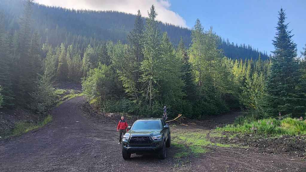
Gearing up at our starting point on the Wheeler Creek Road. The trailhead is the decommissioned road with the open gate on the right. I’ve also turned my truck around to face the way we came in.

Another look at our starting point with a lower section of Hosmer Ridge in the background. For reference, the trailhead is located ~6.2 km from the start of Wheeler Creek Road. (Photo by Andrew Nugara)

Starting down the decommissioned road. We had no idea where it would go because it wasn’t on any maps – at least the ones we had.
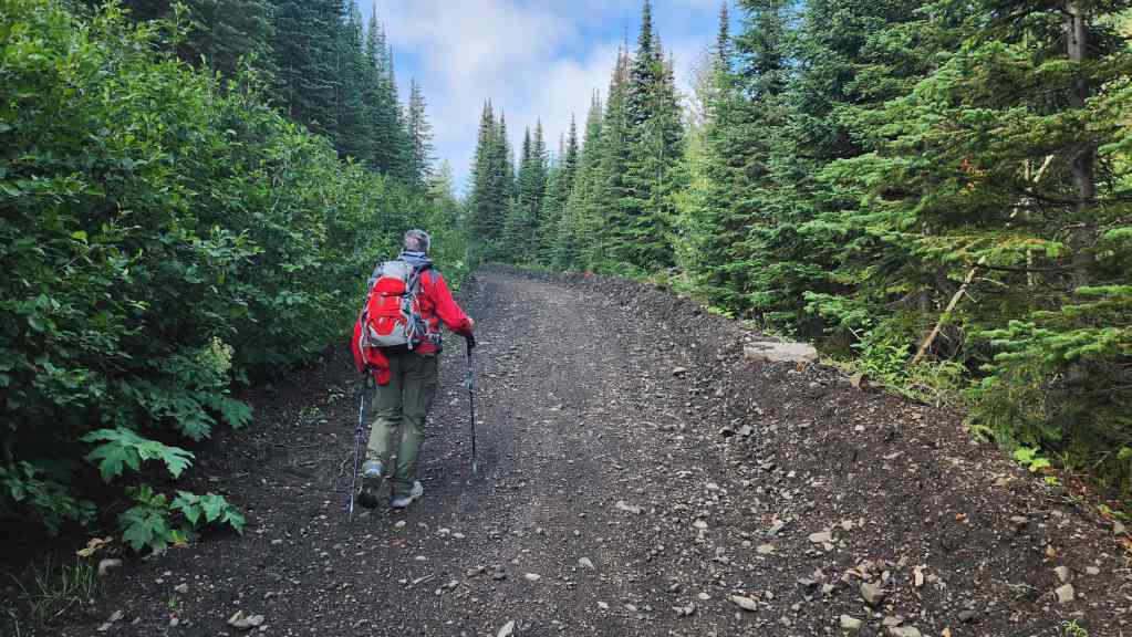
So far, so good…

Approximately 450 m from the trailhead, the road came to an abrupt end.

However, an OHV track led across Wheeler Creek, so we followed it. The creek was small enough that we could easily step over it.
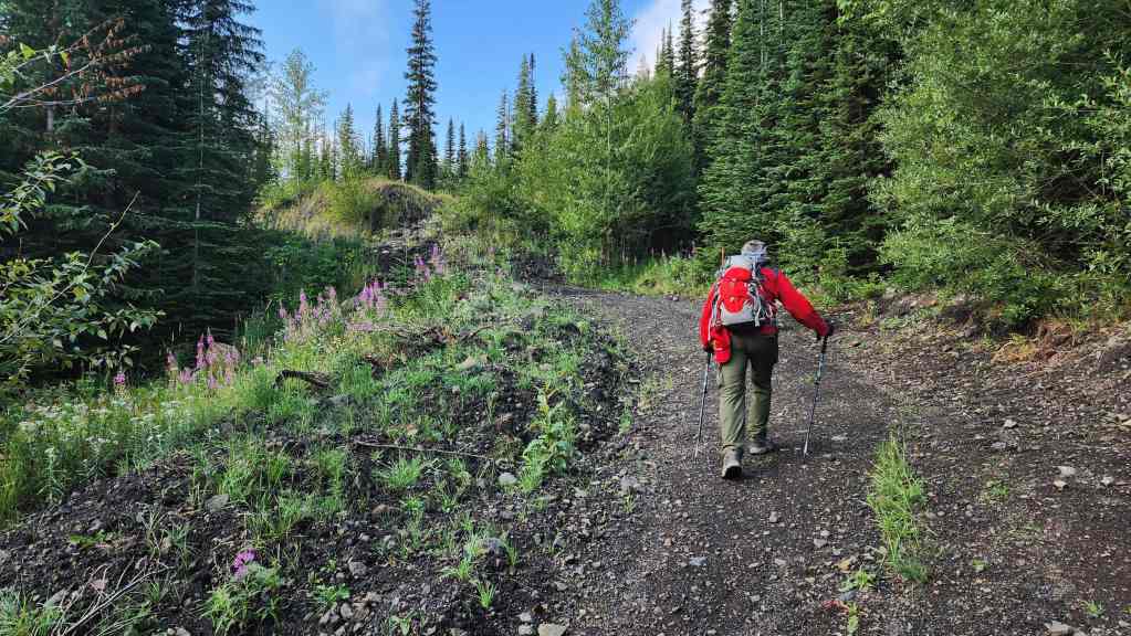
The track led onto another logging road.
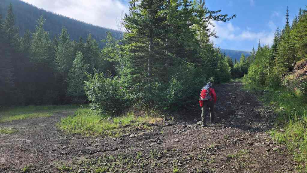
We followed the road south for ~50 m before coming to this junction. Again, not knowing where any of these roads led, we chose the fork to hiker’s right.
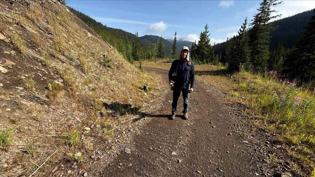
I look like a guy who has been battling a virus for the last 3 weeks – or maybe that’s my regular appearance. 😂 At any rate, I was still feeling lethargic and an easy objective like Hosmer was just what the doctor ordered. (Photo by Andrew Nugara)

After observing a fresh OHV tire track and a recently cut log (pictured) we realized that the road is actually used – which meant that it could lead somewhere… right? 🤔
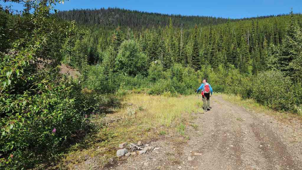
A hearth sits beside the road as we round a large switchback. A section of Hosmer Ridge is directly in front of Andy.
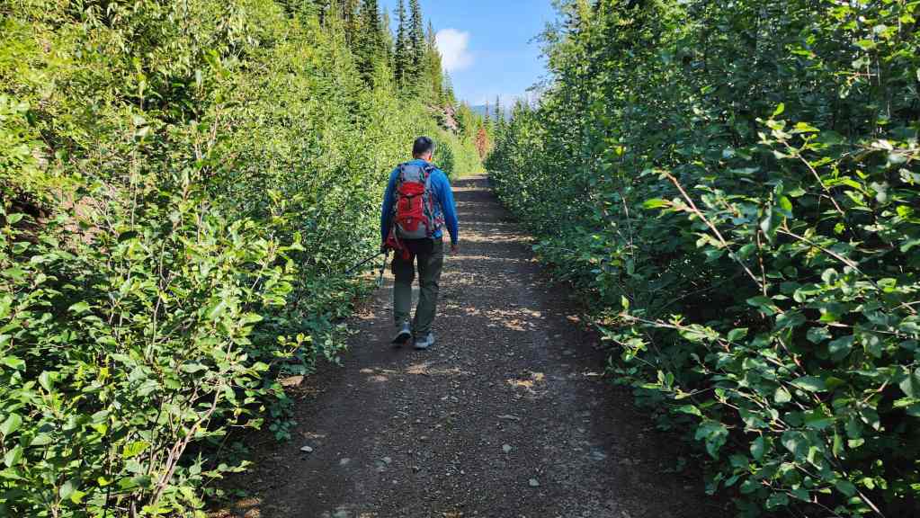
Now heading back to the north after rounding the switchback.
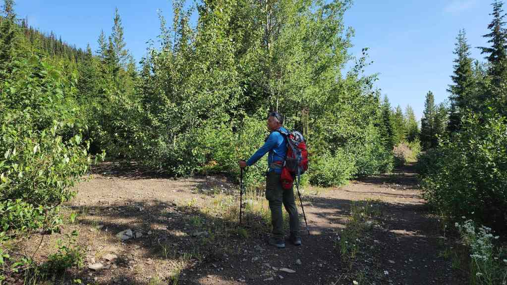
Approximately 2 km from the first junction (~2.5 km from the trailhead), we came to a junction with a small trail that joined from hiker’s left. Following our instincts, we headed left and onto the new trail…
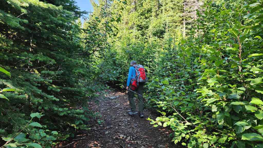
The small trail immediately turned back to the south, which suited us just fine because it was headed in the right direction.
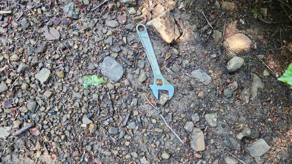
Someone must have been doing a bit of dodgeball training. 😂

Okay, since we did not know where the small trail led and after hiking for ~430 m, we decided to leave it for a single track trail on our right that looked to lead up and towards the ridge. However, had we stayed on the trail for another ~1.8 km, we would have come to another junction where the fork to hiker’s right led not only onto the ridge, but all the way to the summit.
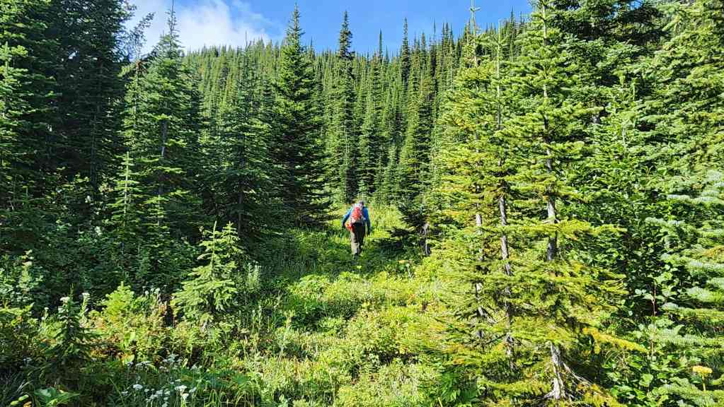
Andy leads as we head up the single track trail.
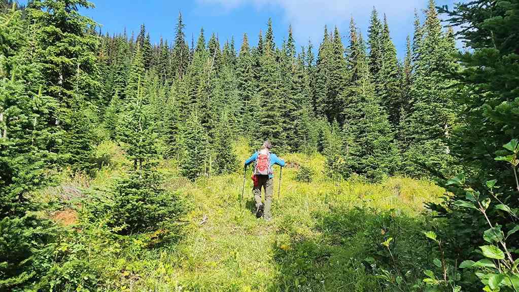
Still following the trail…
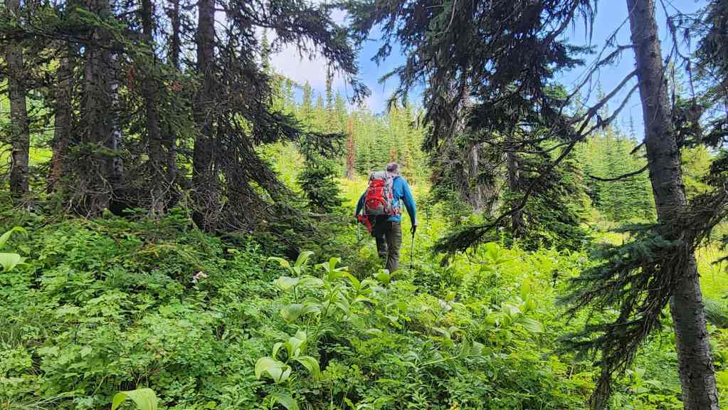
The trail will soon disappear…
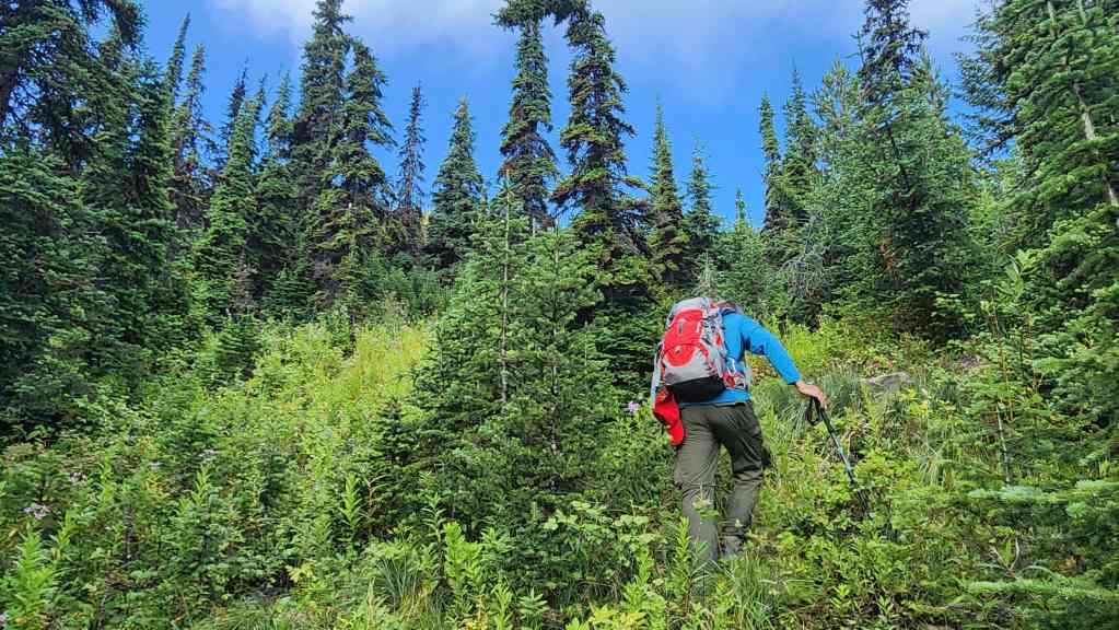
However, by this point we were committed to heading directly up.

Old logging roads became more frequent the higher we went. This was good because just when the bushwhacking seemed to get bad, an old road would provide a welcome break.
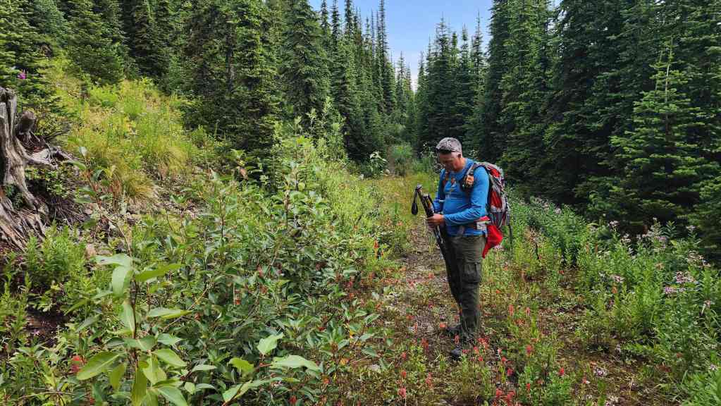
Andy checks his map to see how far we are from the crest.
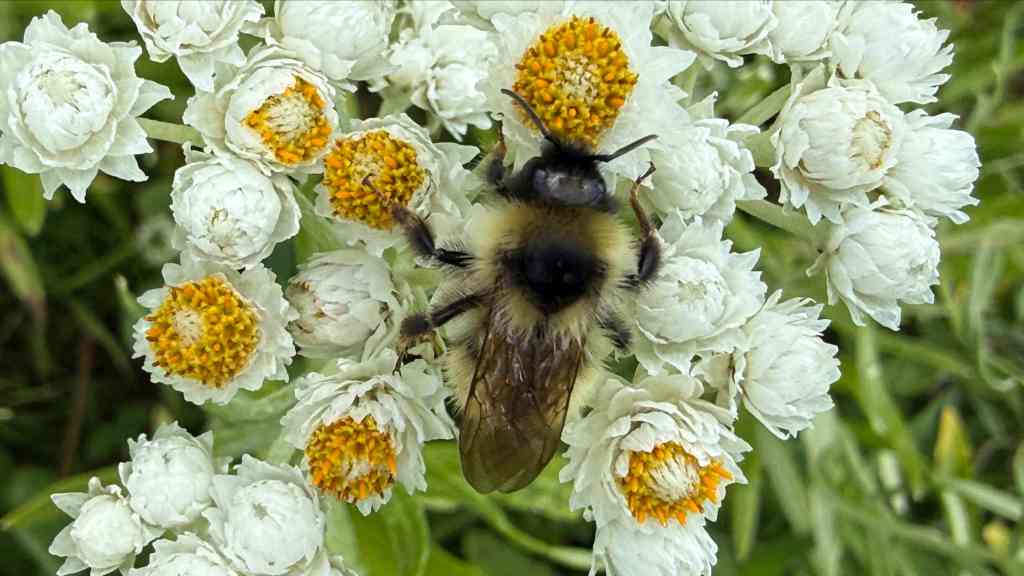
There’s a lot of buzz surrounding Hosmer Ridge. 😂 (Photo by Andrew Nugara)
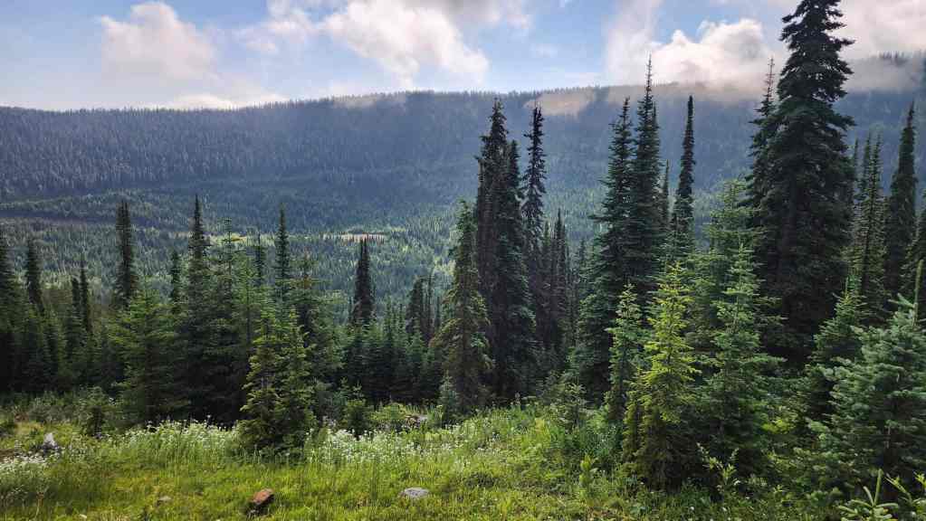
Looking back and across to the unnamed ridge that separates Hosmer Ridge from Marten Ridge.

Still heading up.
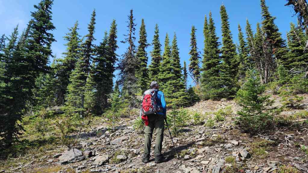
Nearing the ridge crest.

Arriving on the ridge close to a high point. For reference, it was a ~895 m (248 m elevation gain) hike from where we left the small trail to follow the single track trail. Again, as we would discover on our way back, had we continued along the small trail, we could have avoided this route onto the ridge. However, in the end, it wasn’t too bad. 🙂

I was hoping that we’d get some views – and there were a few – but the ridge and the summit, were mostly treed.
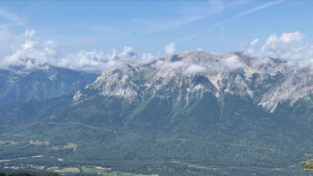
The view across to Mount Hosmer.
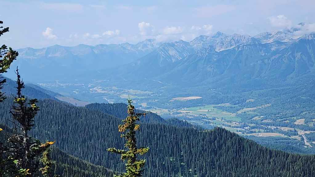
Looking south towards the town of Fernie.
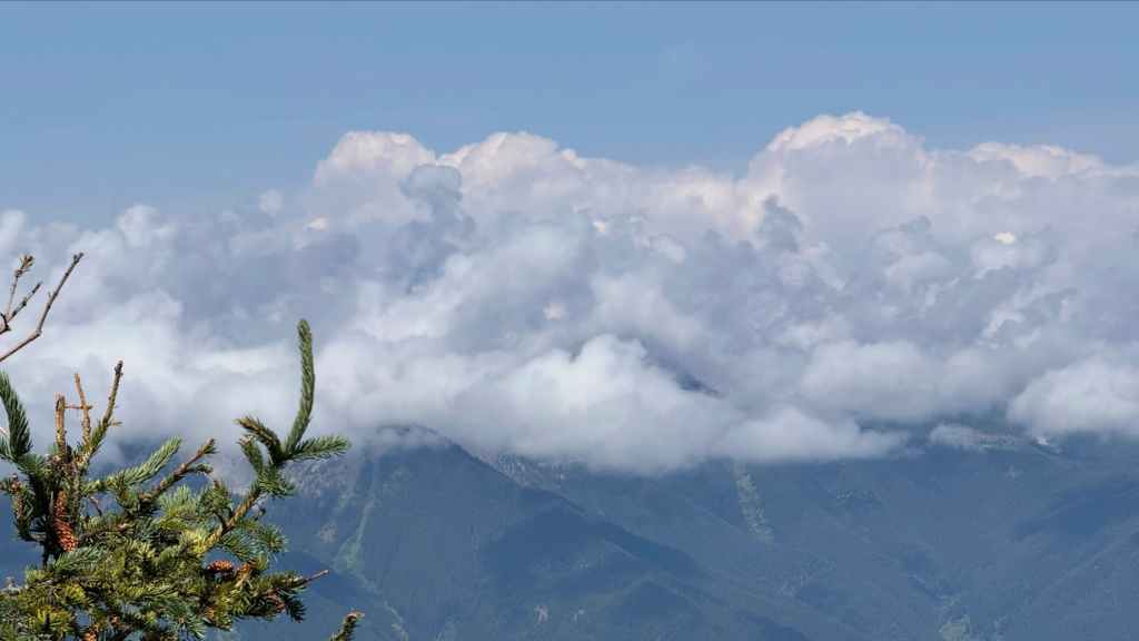
The clouds began building early in the day. Thankfully, they seemed to move on quickly. (Photo by Andrew Nugara)
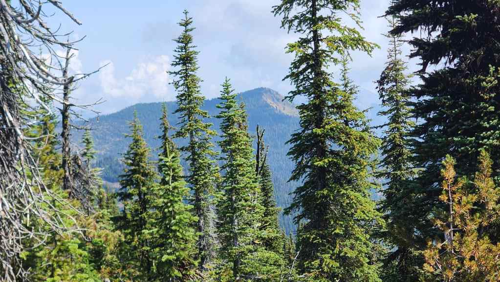
The view from the high point towards Sparwood Ridge. There’s quite an elevation drop and gain between the high point we were on and the summit of Sparwood.
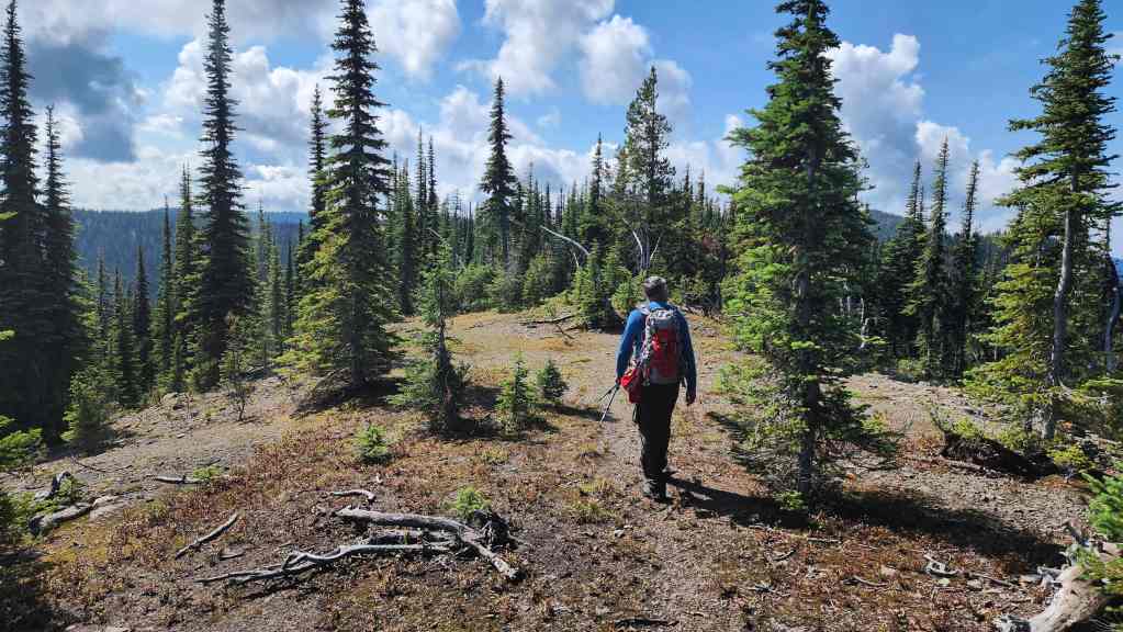
Following a small trail as we make the ~2.2 km hike towards the summit (not visible).
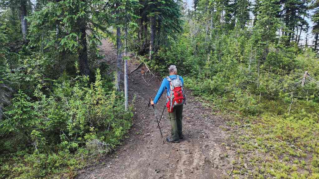
After following the ridge for only ~425 m, we came to a very distinct OHV trail. We would follow the trail for another ~1.8 km to reach the summit.

The OHV trail appeared to ascend from the valley we’d come from… doh!

Andy takes advantage of the sporadic views.
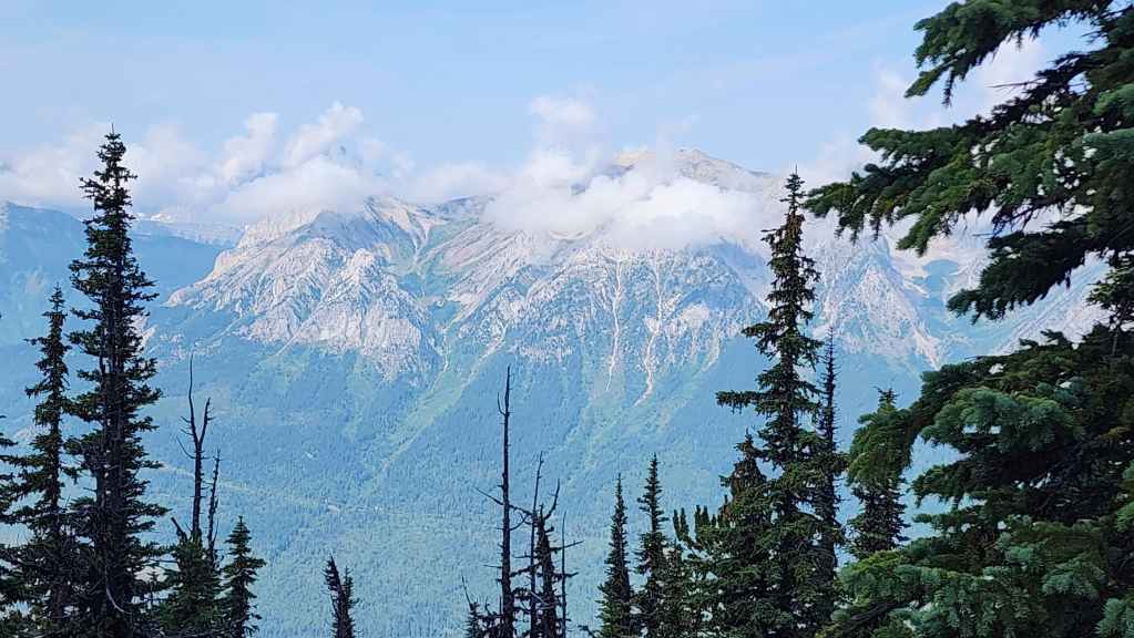
Another look at Mount Hosmer.
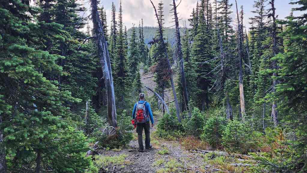
Following the trail towards another high point (centre).

Though the views were few and far between, it was an easy hike along the ridge.

Coming to an interesting rock. Good thing I have my helmet! 😂 (Photo by Andrew Nugara)
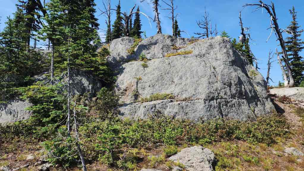
A closer look at the rock.
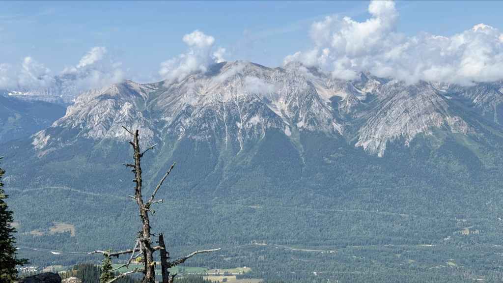
The dissipating clouds gave us a better view of Mount Hosmer.

However, the Three Sisters (left) were still obfuscated.

Gazing north along the Sparwood Valley. Highway 3 and the village of Hosmer are directly below us.
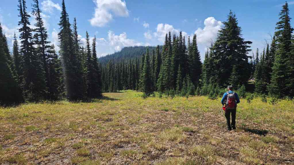
The summit finally comes into view.

The ridge has a several ups and downs. (Photo by Andrew Nugara)

Heading onto the summit.
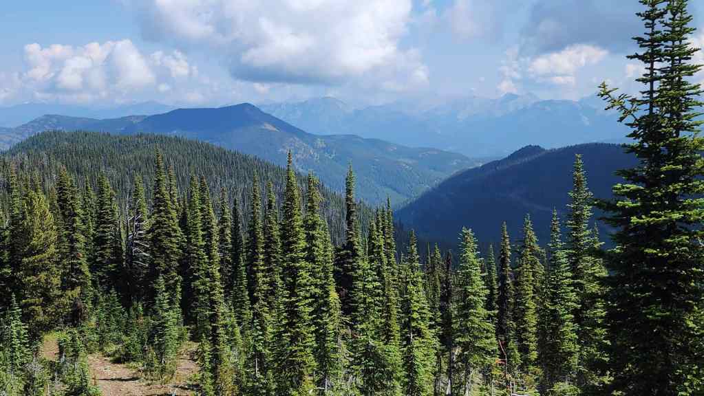
Looking back and towards Sparwood Ridge (left of centre).

A closer look at Sparwood Ridge (left) and Mount Erickson (centre). (Photo by Andrew Nugara)

Okay, will the summit have a view or not?
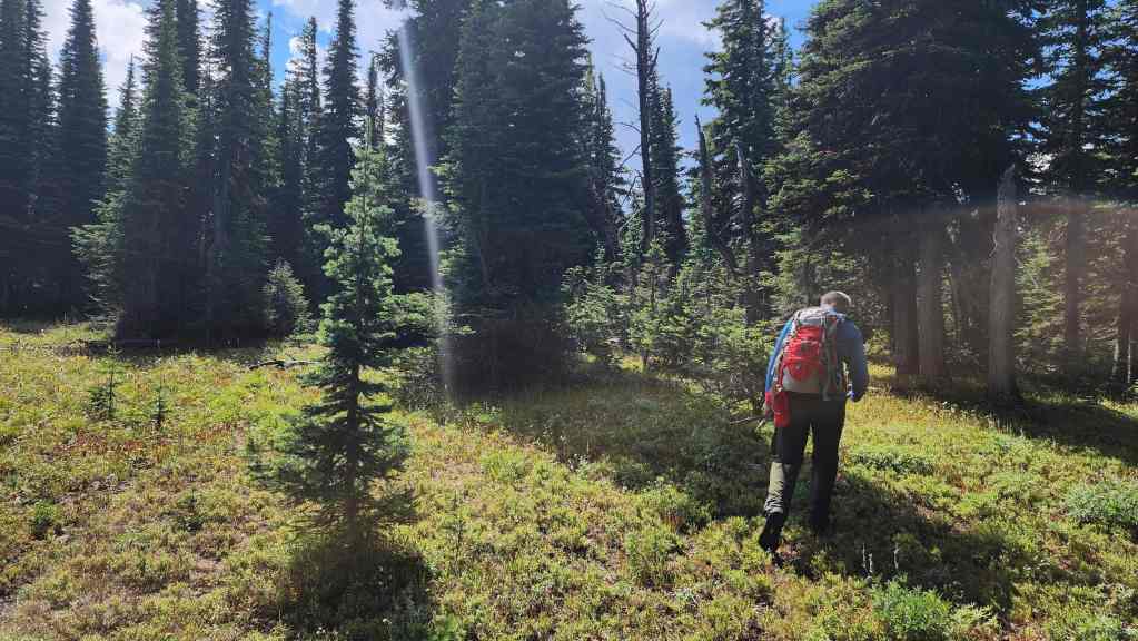
With great anticipation we arrive on the summit….
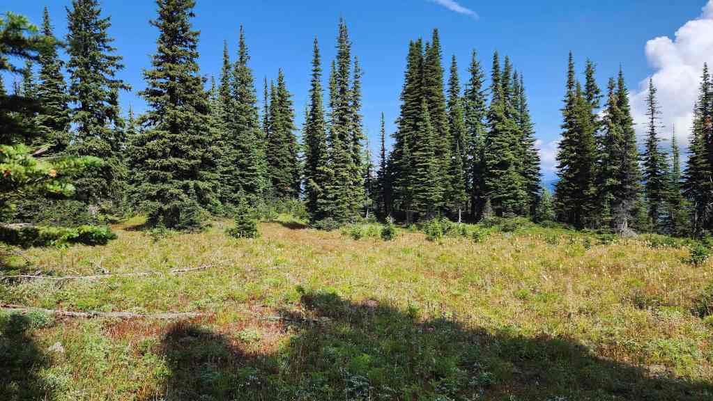
And find there weren’t any open views. 😢 This is looking north and across the broad summit of Hosmer Ridge (2225 m).
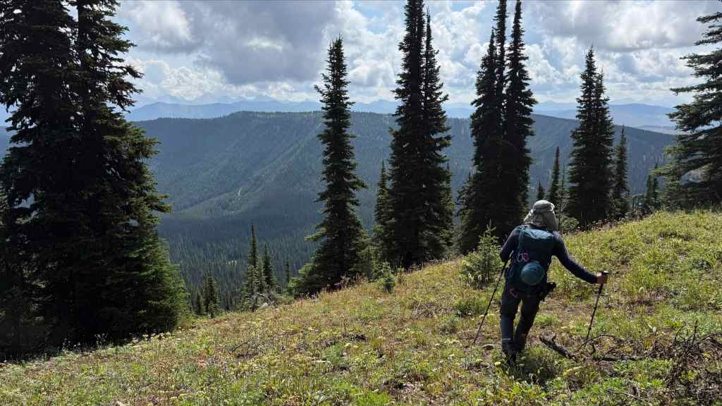
To compensate, we headed south for a bit. (Photo by Andrew Nugara)

We soon found some decent views to the east, such as Mount Ptolemy (centre) and Tent Mountain (foreground centre)

Ptolemy SE5 (far left), Mount McGladrey (centre), and Mount Pengelly (right).

Gazing over to Leach Ridge.
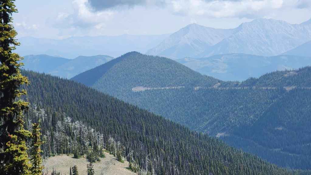
The summit of Marten Ridge (centre).
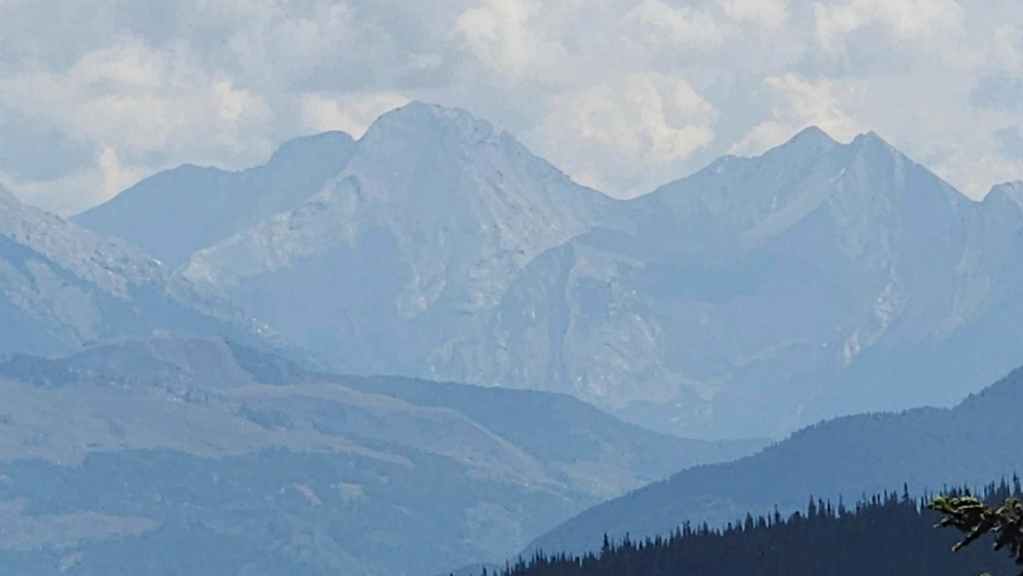
Another look at Ptolemy SE5 (centre) and Mount McGladrey (right).
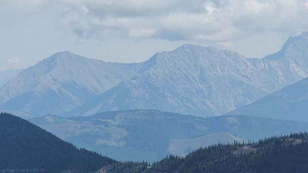
Sentry Mountain (left), “Ostracized Peak” (right of centre) and Loop Ridge (middle distance centre).
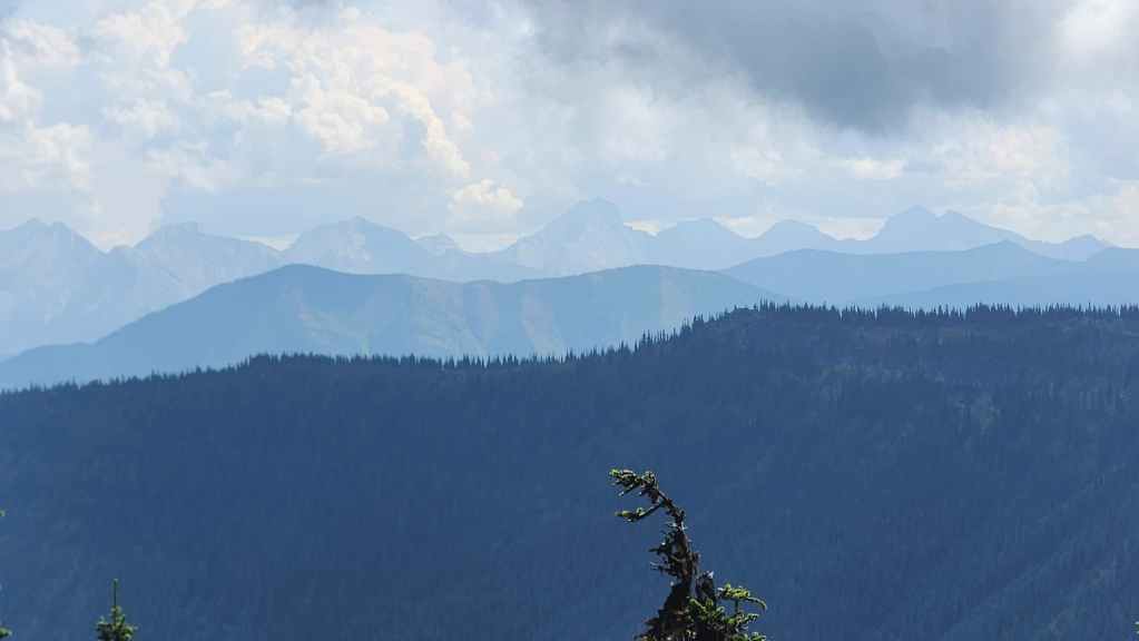
Mount Taylor (left) and Michel Head (far right).
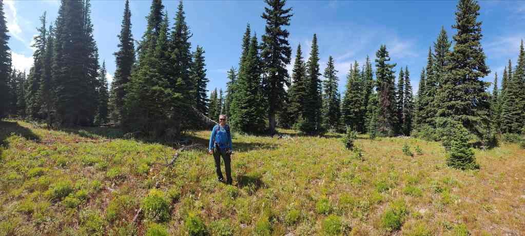
Andy on the summit of Hosmer. What a magical moment for him! 😂
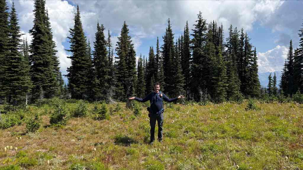
What can I say? I thought there might be something to look at. 😂 (Photo by Andrew Nugara)
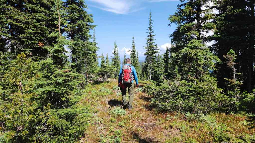
After 20 minutes or so on the summit, it was time to head back.

An early afternoon thunder cloud. (Photo by Andrew Nugara)
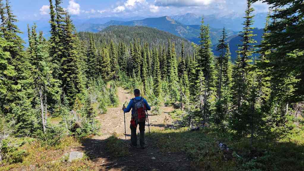
Hosmer is a long ridge, but the OHV trail made it an easy hike.

Me on the big rock. (Photo by Andrew Nugara)
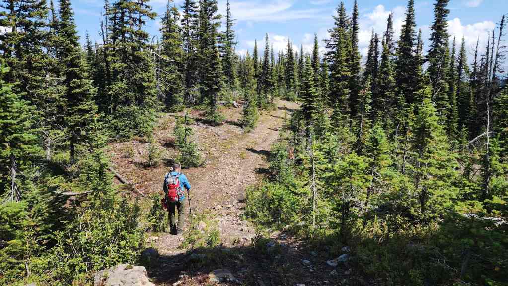
Despite the lack of views, the temperature was perfect but man, was it humid.

We decided that we would descend using the OHV trail. We didn’t know where it would lead, but at least it was going into the right valley.

So far, so good.
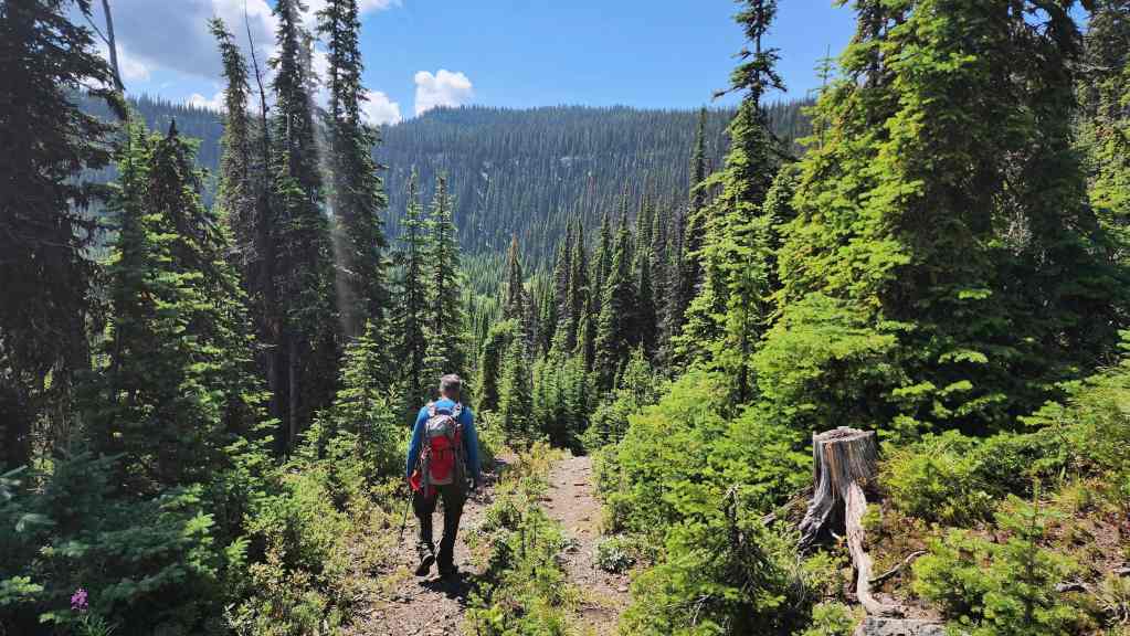
The trail curved to the south as it descended.
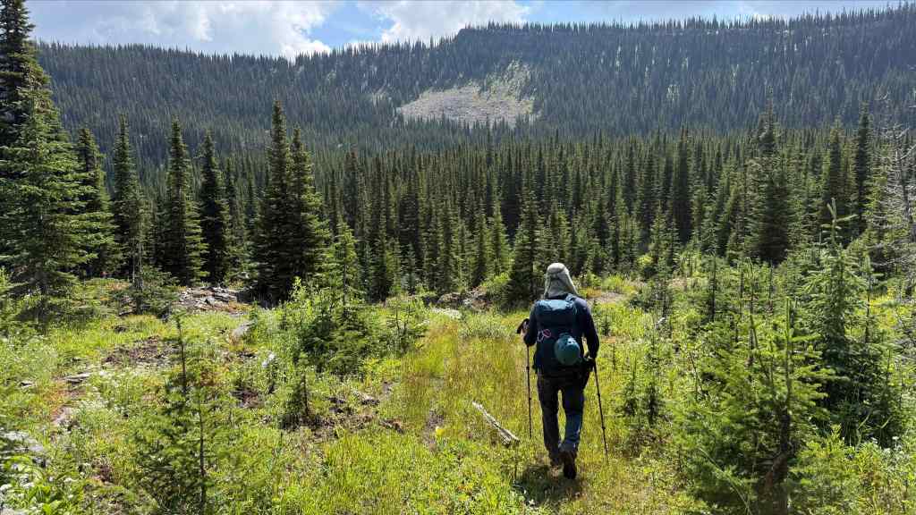
Arriving at its junction with what would turn out to be the small trail we had left to ascend the ridge; though we didn’t know this until a bit later. From where the trail left the ridge to this junction, it was a ~660 m hike (122 m elevation loss). (Photo by Andrew Nugara)

Andy stands at the junction with the small trail. The OHV trail to Hosmer Ridge is on the right. For reference, from the start of the small trail to this junction, it is a ~2.1 km hike.

Starting down the trail and at this point, hoping that it would lead us back. (Photo by Andrew Nugara)
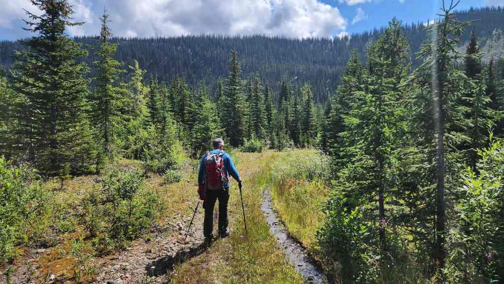
It was a super easy descent.

The trail eventually swung to the north…
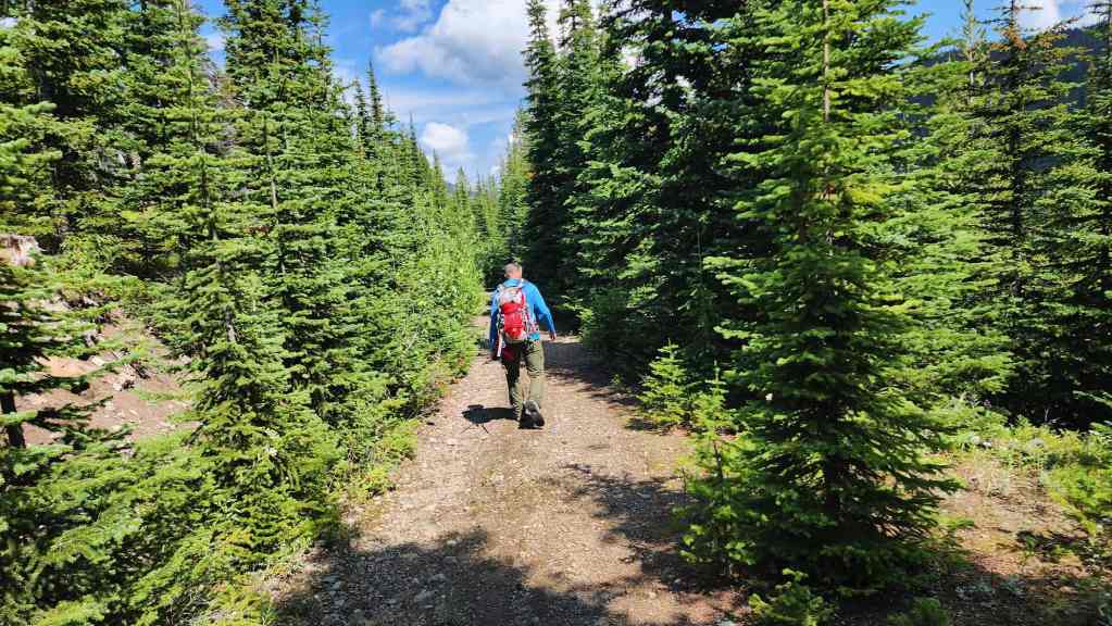
And we soon realized that it was the same small trail that we had left to follow the single track onto the ridge. Sweet! 😀

Arriving back at the junction with the main trail. From here it will be a ~2.5 km hike back to the trailhead.
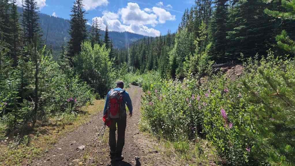
Making quick time as we head towards the large switchback.

Checking out the view towards Sparwood Ridge.
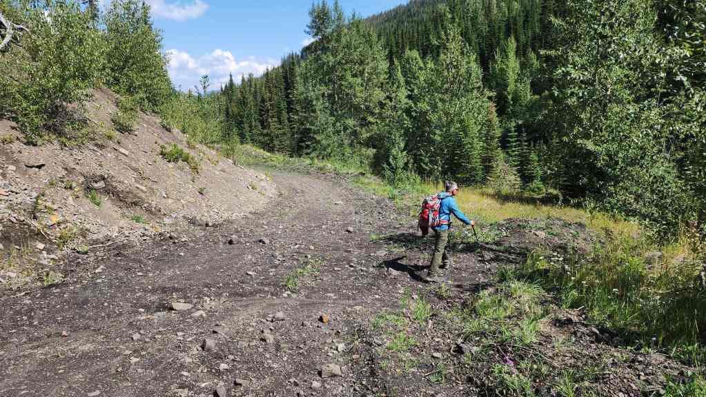
Arriving back at the creek crossing.
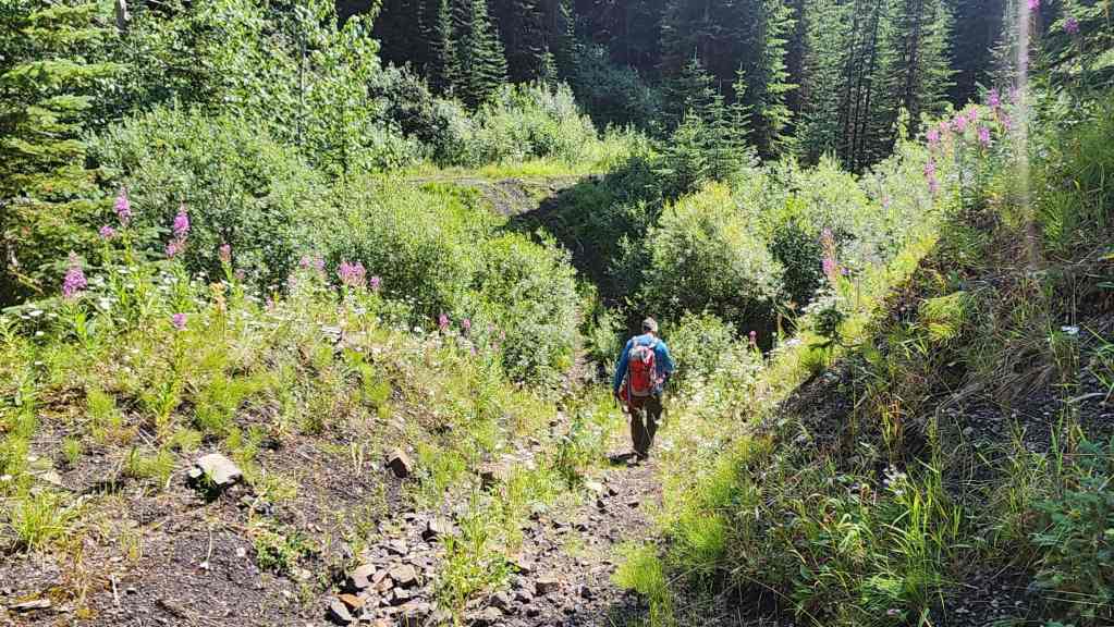
Following the tracks across Wheeler Creek.
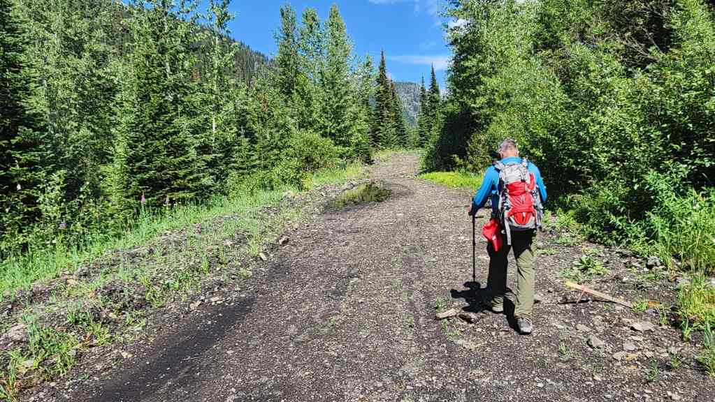
Back on the decommissioned road for the final ~450 m of the day.
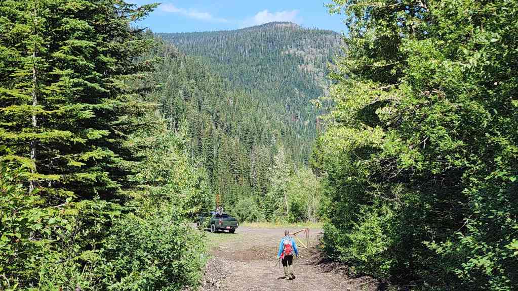
Arriving back at my truck exactly 4 hours and 30 minutes after starting. Despite the lack of views, the most satisfying part of the day was verifying that not only was our hunch correct regarding easy access to Hosmer, but that the route follows a trail directly to the summit. 😀 For reference, had we used our descent route to ascend, it would have been a relatively easy ~7.1 km (577 m elevation gain) hike from the trailhead to the summit. Thanks again to Andy for yet another great day in the mountains!


Leave a Reply