⚠️ Hiking and scrambling are inherently dangerous activities. Please read my Disclaimer. ⚠️
With a beautiful day at hand, Brad, Andy, and I headed to the Fernie area for a crack at Ghostrider Peak (2379 m) and Mount Hosmer (2502 m) – and if there was time, the unnamed peak that sits directly to the north of Mount Hosmer, that for the sake of simplicity, we’ll call “Hosmer North” (2519 m).
Ghostrider however, was our initial focus and after reading Sonny Bou’s report along with Bob Spirko’s and Trevor Helwig’s accounts, we decided to bring along some technical gear to mitigate the exposure of the crux. For good measure, we also referenced Mike Morelli’s trip report, who like Sonny, Trevor (and James Yearous), scrambled onto the summit without any pro. What we weren’t expecting however, was the precarious nature of the two extremely exposed and notably chossy pinnacles just prior to the crux.
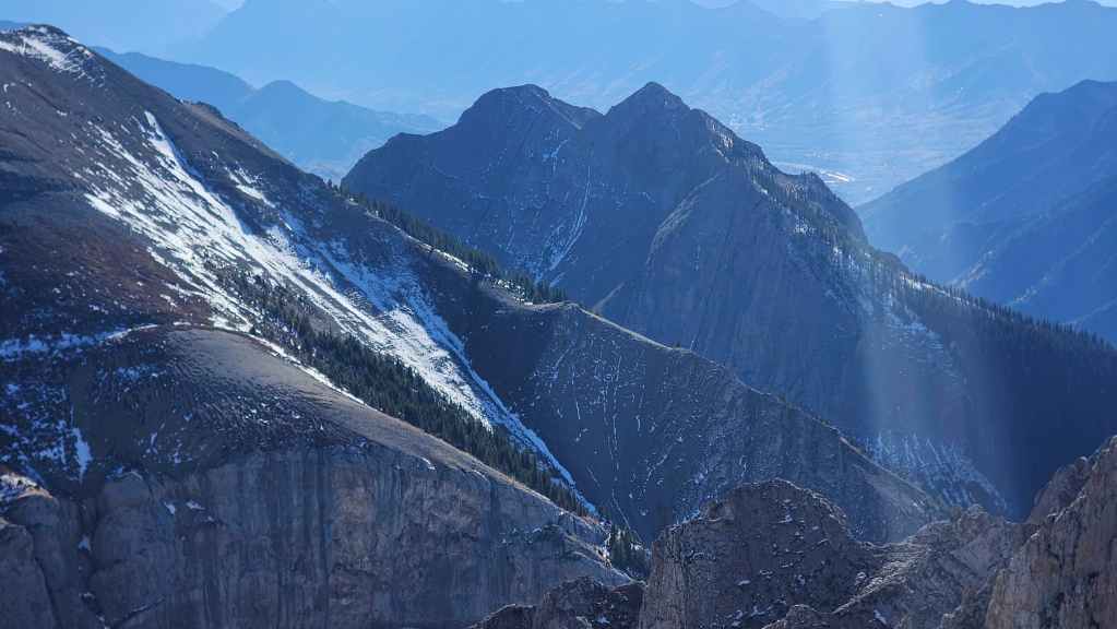
The story of Ghostrider is interesting. This unofficial summit at the south end of the Hosmer massif derives its name from the forms of a horse and rider coupled with a person walking behind it, that sometimes appears on the south face at sunset during the summer and early fall. (source)
The appearance of this rider and pedestrian, is most often linked to a fabricated legend which claims that in the nineteenth century, Fernie town founder, William Fernie, had promised to marry the daughter of a Ktunaxa chief if he would show Fernie where the coal on the daughter’s necklace, had come from. (source) Reneging on the deal after Fernie had been shown the source, the Ktunaxa chief then put an eternal curse on the entire Elk Valley. Hence, the rider is said to be the angry chief and the person walking behind is his daughter. (source)
Subsequent disasters in Fernie including the 1902 mining disaster that killed 128 men, two fires that completely destroyed the town in 1904 and 1908, followed by a devastating flood in 1916, cemented the idea of a curse into local legend. (source) As misfortune seemed to persist within the town and surrounding area, Fernie’s town council approached a Ktunaxa chief in 1964 to perform a ceremony to lift the curse. (source)
However, as noted on the Town of Fernie website, the legend is entirely bogus “with no basis in the practices or beliefs of the local Ktunaxa people. Notably, the Ktunaxa never engaged in curses, and the 1964 ceremony, staged to lift the supposed curse, was actually driven by financial incentives and orchestrated by the Fernie mayor of the time.” (source)
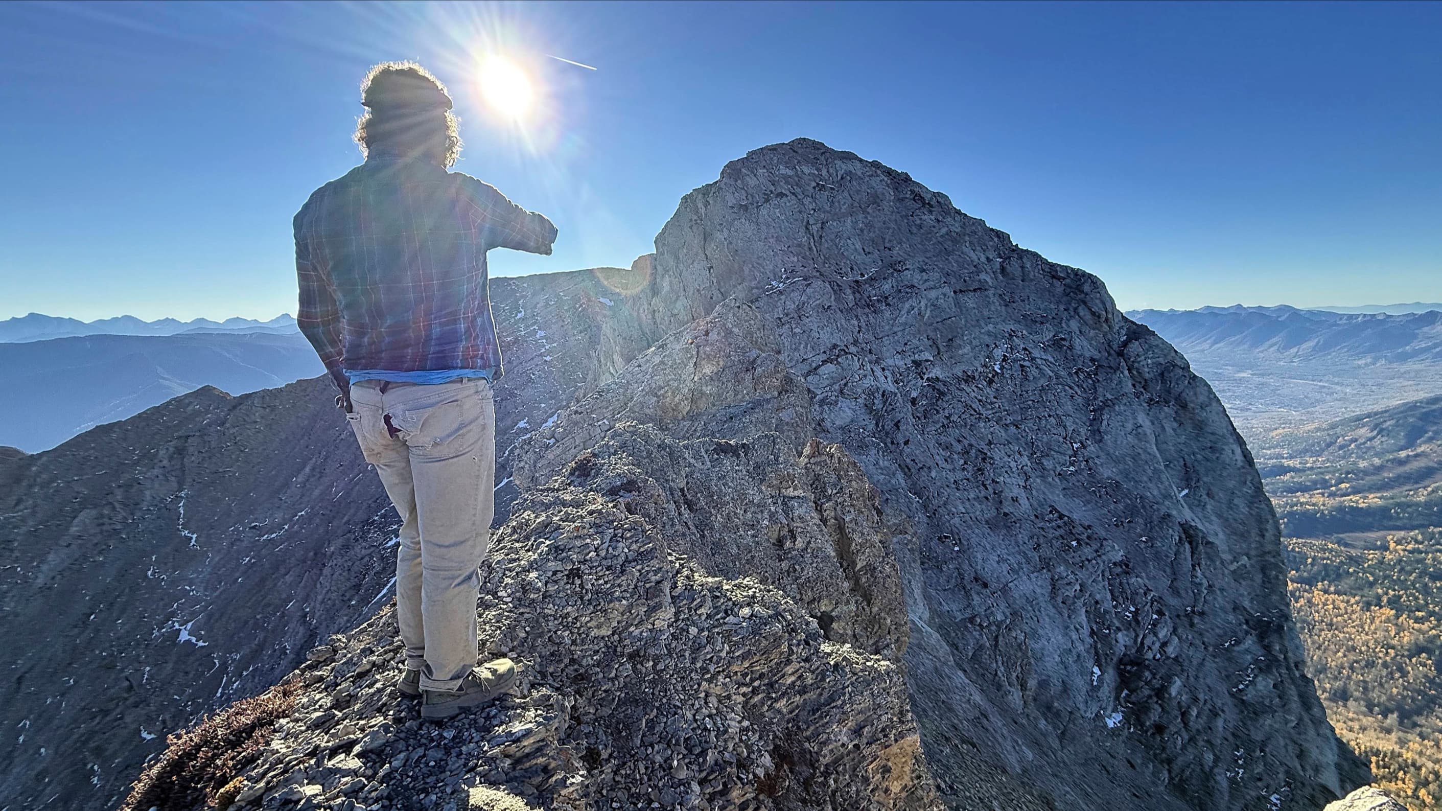
Anyway, back to today’s trip. After making the hike up the well-trodden trail, we were soon standing in front of Ghostrider’s summit block on what is best described as the hiker’s summit, as this seemed to be the common destination for everyone we encountered on the trail. Only 25 vertical metres lower than the true summit, the hiker’s summit offers great views with the only obstacle between it and the crux leading onto the summit, being two highly exposed pinnacles. Indeed, the crux itself looked quite doable given the pro we’d brought with us.
However, the chossy pinnacles were another story and we were caught off guard at their formidability. As our plan was to try and continue from the summit along the ridge to Mount Hosmer ala Sonny Bou, there was little we could do in terms of setting pro that we weren’t going to leave behind. Moreover, the terrible rock made finding a suitable location for pro, troublesome at best.
How people have scrambled these pinnacles is beyond me as there is absolutely no room for error as the exposure on either side is undoubtedly fatal. Now that I’m on the precipice of my late fifties, maybe I’ve become overly cautious; however, when Andy and especially Brad, independently “Nope!” out of trying something, I definitely take heed.
Indeed, while Andy made a sphincter clenching exploration of the first pinnacle – even trying to find a bypass route – Brad ventured partway down a scree slope also looking for a bypass. It wasn’t long before he encountered ball bearing scree and retreated back to the ridge. I also descended the ridge in search of a route and discovered that the terrain across to the summit was impassable.
Back on the ridge, we made the collective decision not to attempt the pinnacles – which I think should decidedly be included in any description of the crux. Instead, we dropped back to the col and the trail leading to Mount Hosmer. Our plan was to attack Ghostrider from the north, using Sonny’s descent route if all else failed.
After hiking into the bowl between Hosmer and Ghostrider and then onto the col, we re-evaluated our objectives for the day. On examining the route up lower peak of Ghostrider and then from what we could see down to the col with the true summit, we concluded that using a reverse of Sonny’s descent route – or if another option presented itself – was ultimately the best way to get onto Ghostrider’s true summit. Again, we would only attempt this with technical gear.
However, since we had a relatively easy hike to the summit of Mount Hosmer and it was getting later in the day, we decided to leave our technical gear at the col and pursue Hosmer and “Hosmer North”. We will however, return to attempt the true summit of Ghostrider from the north.
Be sure to read Andy’s excellent trip report! [link coming]

*** After losing my GPS two weeks ago somewhere along Hartley Lake Road, I still haven’t found a replacement. Thankfully, Andy had his GPS and I’m grateful to him for sharing the data. ***
To get to the Mount Hosmer trailhead, we drove west from Sparwood along Highway 3. After passing the hamlet of Hosmer, we followed the highway across a bridge over the Elk River. Once on the other side, we continued for ~4.7 km until we came to the turnoff for Dicken Road on our right.
Turning onto Dicken Road, we drove for ~500 m until we came to the turnoff for Hartley Lake Road on our right (note a small homemade sign on a telephone pole is the only identifier). We turned right and followed Hartley Lake road for ~6.8 km until we came to the trailhead at the side of the road. The small parking area across from the trailhead was our starting point.
The trail rises sharply a short distance beyond the trailhead, with numerous short and long switchbacks covering the ~2.7 km (557 m elevation gain) distance to the col between Ghostrider Peak and Ghostrider North. For reference, it took us exactly 1.5 hours to reach the col from the trailhead (300 m elevation gain)
Once on the col, we followed the trail toward Ghostrider Peak, noting that only a small cairn marked the junction with the trail to Mount Hosmer. From the cairn, the trail is clearly demarcated as it ascends the west slope of Ghostrider to the summit ridge. Once on the summit ridge, the trail continues until it reaches the pinnacles just prior to the summit. For reference, from the point where we joined the col to the hiker’s summit of Ghostrider, it was ~1.9 km (361 m elevation gain) that took us almost exactly 1 hour. Further, from the trailhead to the hiker’s summit it was 9.2 km (918 m elevation gain)
After deciding not to attempt the pinnacles, we descended back to the junction with the Mount Hosmer trail where we set off for the col between Mount Hosmer and the north side of Ghostrider. Stopping for a quick lunch shortly before making the steep hike up to the col, we arrived on the col exactly 1 hour after leaving the junction with Ghostrider trail.
Deciding not to tackle a technical ascent of the north side of Ghostrider and to return at a later date, we lightened our packs of any unnecessary gear and headed up to the summit ridge of Mount Hosmer (2503 m). Approximately 45 minutes after leaving the col, we arrived on the summit of Hosmer. For reference, if I exclude our foray up Ghostrider’s hiker’s summit, it would have been a total of ~5.3 km (1107 elevation gain) over 3 hours and 15 minutes from the trailhead.
From the summit of Mount Hosmer, we then continued north and along the ridge for ~1.5 km (111 m elevation loss to col followed by a 128 m elevation gain) to the summit of “Hosmer North”. For reference it took us exactly 45 minutes to go from summit to summit.
After enjoying the views from “Hosmer North” we returned the way we came and arrived back at the trailhead 3 hours later.
Our total roundtrip time including our contemplations of Ghostrider Peak and the various summit stays was 9 hours and 30 minutes. Our total distance travelled was ~16.7 km and our total elevation gains were ~1800 m.

Gearing up at the Mount Hosmer trailhead on Hartley Lake Road.

Starting off.

In terms of grade, the first few hundred metres is fairly benign, but that’s only to get you warmed up for the grind that’s to come. 😂
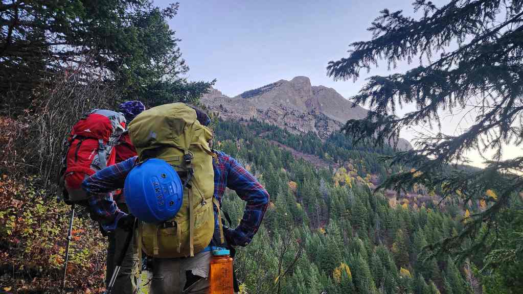
Our first good look at the summit of Ghostrider.
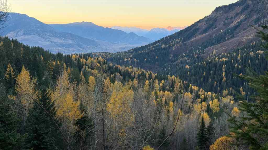
The start of a glorious fall day! (Photo by Andrew Nugara)
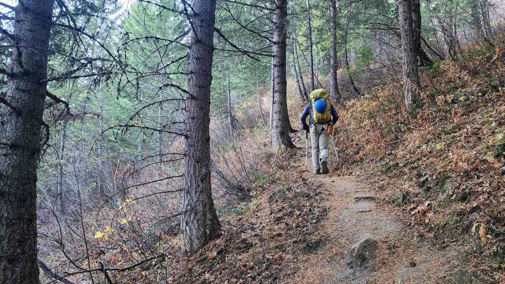
The trail climbs steadily through a series of short and long switchbacks.
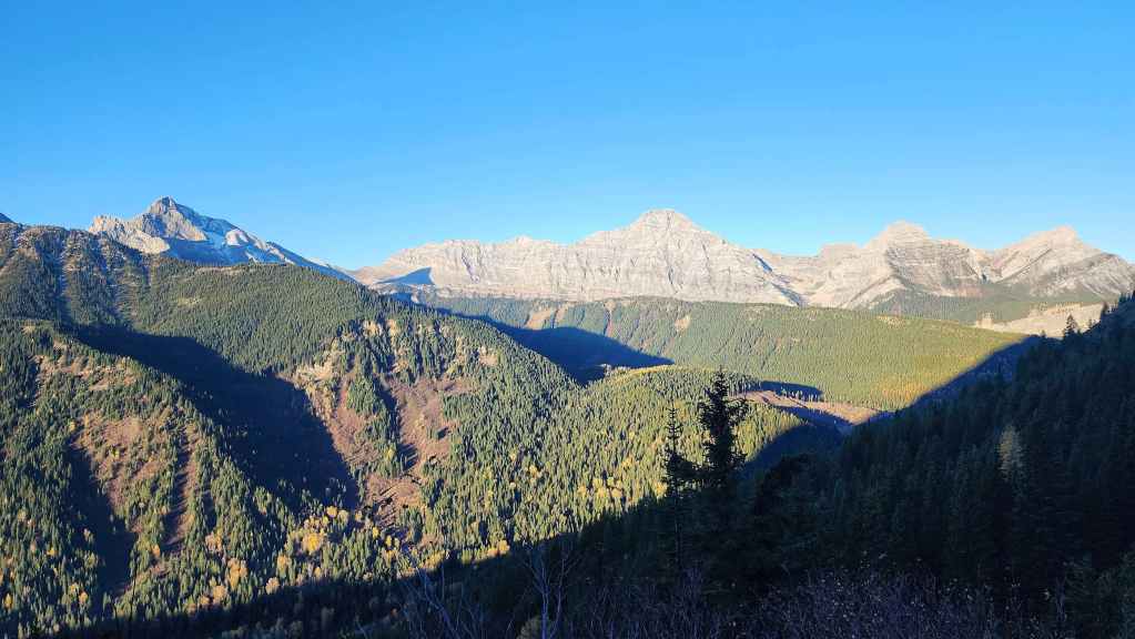
Our first views of the day feature the Three Sisters (left) and Mount Bisaro (right of centre).

“Ghostrider North” (centre) is a small prominence located northwest of Ghostrider Peak. We’ll tag it when we come back to finish the job on Ghostrider. (Photo by Andrew Nugara)
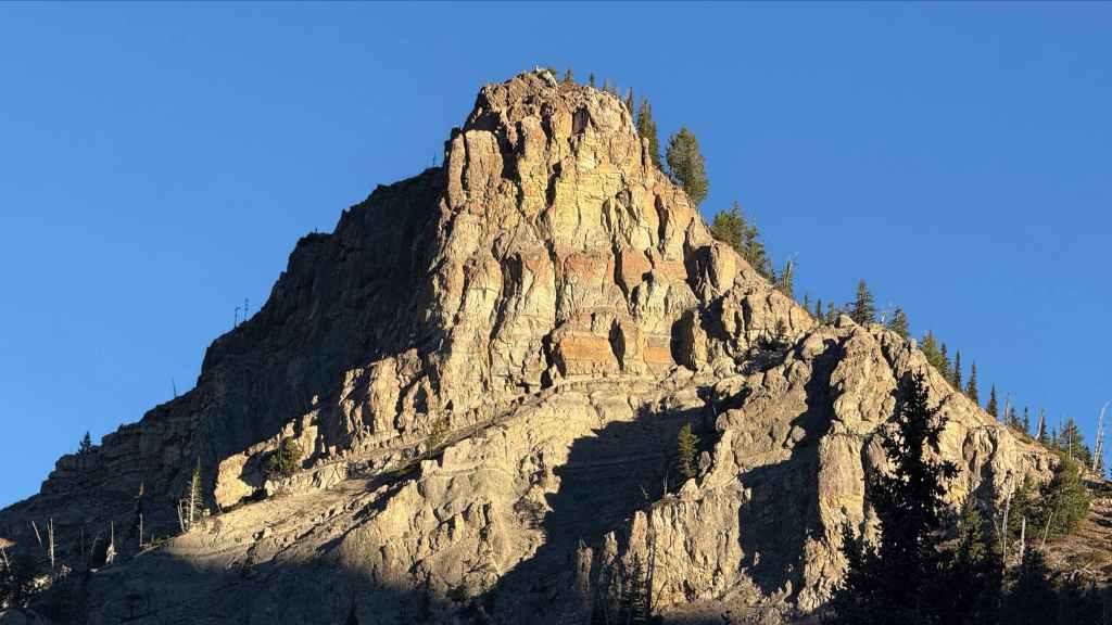
A closer look at “Ghostrider North”. (Photo by Andrew Nugara)
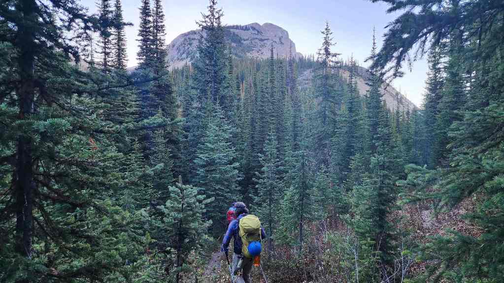
Exactly 1 hour and 30 minutes after starting, we arrived on the col between Ghostrider Peak (centre) and “Ghostrider North”. For reference, it was a ~2.7 km hike with a 557 m elevation gain.
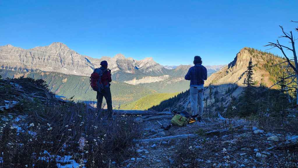
Brad and Andy enjoy the views to the west.
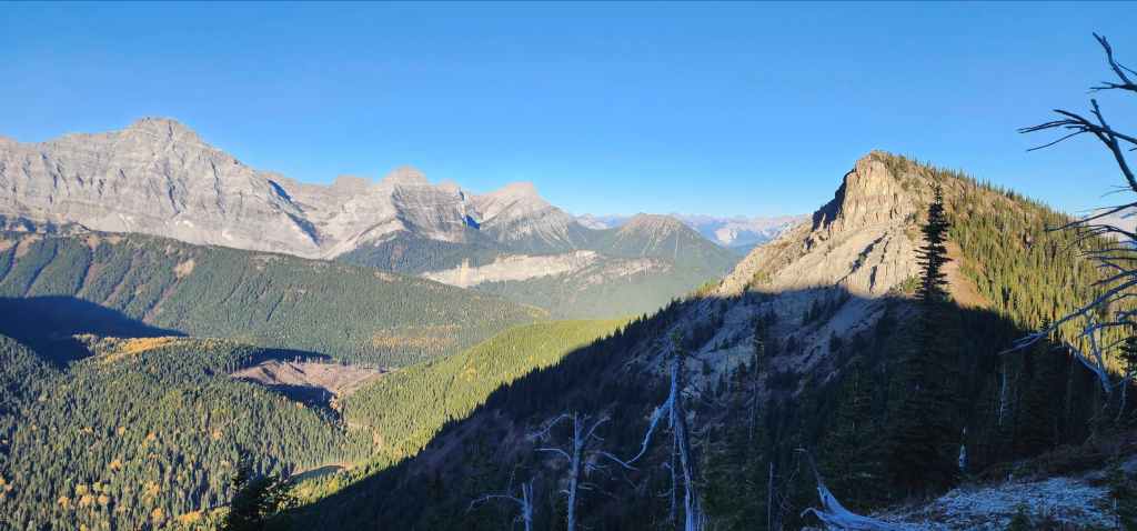
Mount Bisaro on the left and “Ghostrider North” on the right.
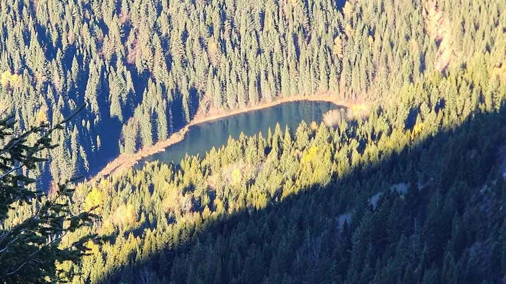
A closer look at Hartley Lake.
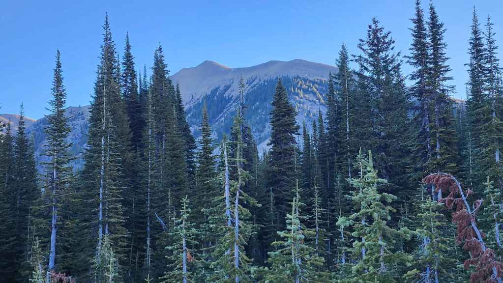
The view east and towards the false summit of Mount Hosmer.
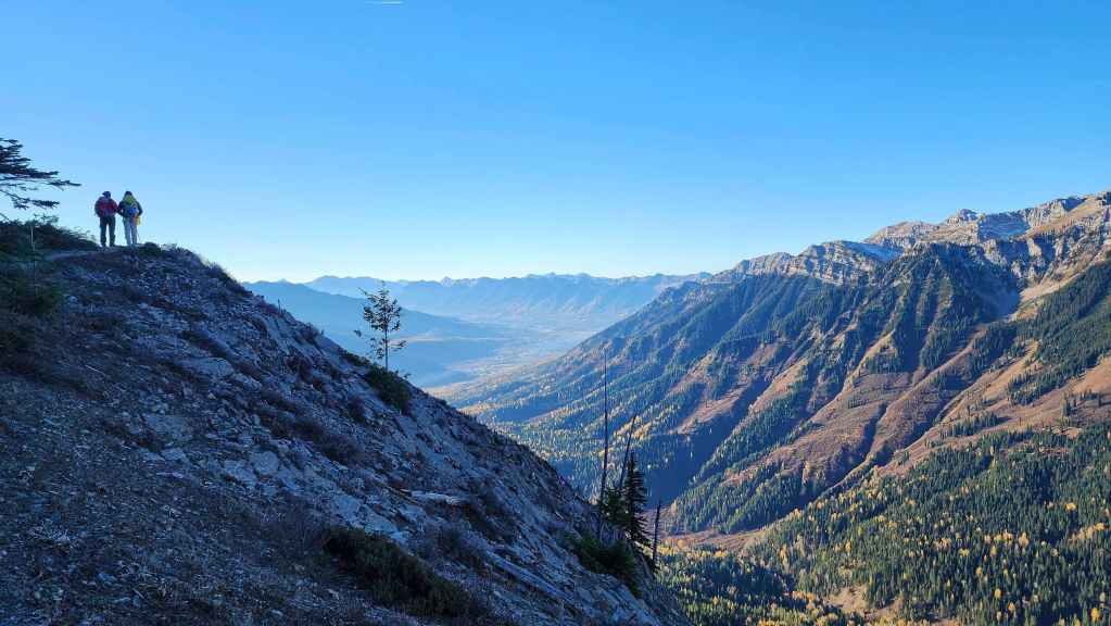
The trail offers good viewpoints as it continues toward the Mount Hosmer / Ghostrider junction.

Looking back. (Photo by Andrew Nugara)
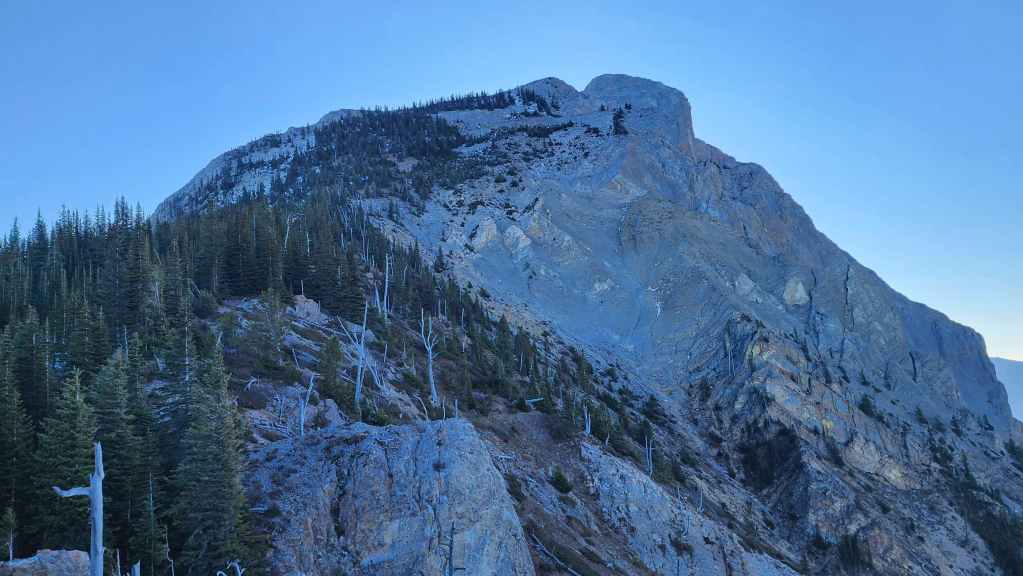
The summit of Ghostrider (right of centre) and the slightly lower (~25 m) hiker’s summit (centre).

Brad and Andy note a small cairn (bottom centre) which is the only identifier of the junction with the trail to Mount Hosmer.
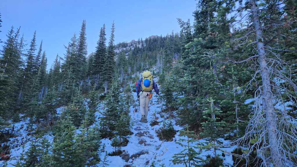
A recent snow combined with heavy traffic, made sections of the trail quite icy.

Gaining elevation – and views – as we follow the well-trodden trail. (Photo by Andrew Nugara)
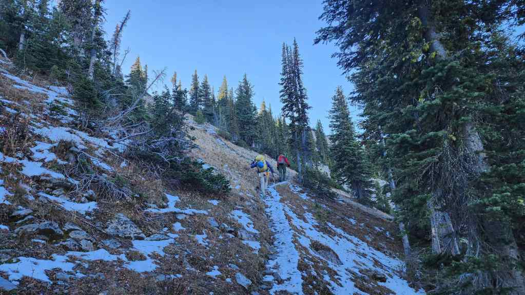
Almost on the summit ridge.

On the summit ridge with views of “Hosmer North” (left of centre) and the false summit of Mount Hosmer (centre). At 2519 m, “Hosmer North” is the highest point on the massif. (Photo by Andrew Nugara)

A good look at Mount Washburn (left of centre).

Nearing the summit – and the pinnacles! (Photo by Andrew Nugara)
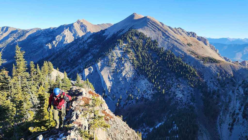
Another look back and this time with a view toward Mount Hosmer’s true summit (right).

From the hiker’s summit, Brad surveys the route onto the summit. (Photo by Andrew Nugara)

I check out the start of the pinnacles. (Photo by Andrew Nugara)
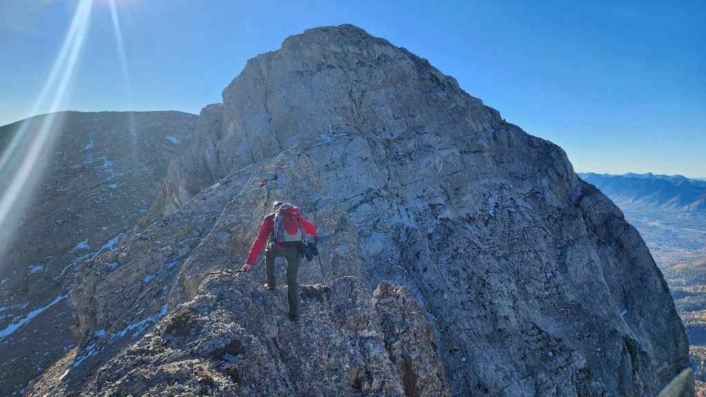
Andy starts onto the pinnacles. The crux we were focused on, is the crack in the upper centre that leads onto the summit.
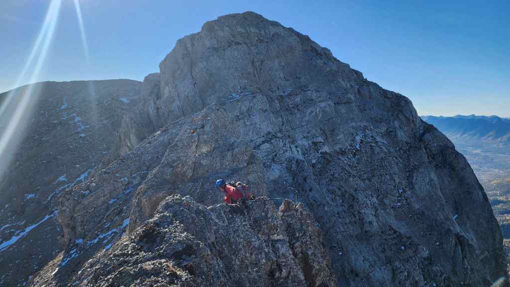
Andy climbs down to the base of the first pinnacle…
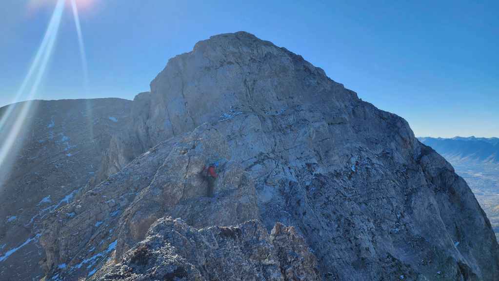
And starts to climb up. He was quick to report the extreme exposure coupled with chossy rock.
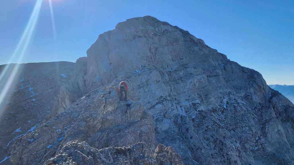
After noting a few loose holds, Andy makes it to the top of the first pinnacle and balks at what he sees…
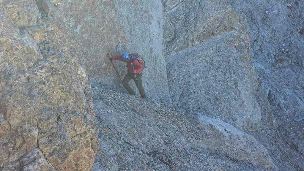
He then retreated back to the base before descending in search of a bypass; however, he couldn’t find one.
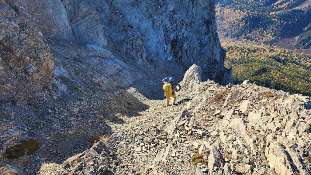
Meanwhile, Brad also descended from the hiker’s summit in search of a better route. He was quickly turned back by ball bearing scree combined with exposure. I had also descended but further to the west where I discovered the terrain was even worse.

Going into this, we knew the pinnacles were exposed but we weren’t expecting them to be comprised of crappy rock – which made all the difference for us. Indeed, we were so focused on the described crux that we were caught off guard by the difficulty of the pinnacles.

A pano to the south from the hiker’s summit. Three Sisters (centre) and Mount Bisaro are most notable.

A pano to the north. After much deliberation, we decided not to use our gear on the pinnacles but instead, head to the col with Mount Hosmer (right) and tackle Ghostrider from the north.

Glancing back as we leave the hiker’s summit. (Photo by Andrew Nugara)
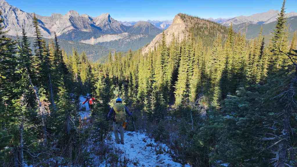
Descending to the junction with the Mount Hosmer trail.


Leave a Reply