

⚠️ Hiking and scrambling are inherently dangerous activities. Please read my Disclaimer. ⚠️
After summiting mighty Mount Albert, Jeff and I turned our sights towards our third destination of the day: Piney Point. Like similar-sized Mount Baldy, Piney Point is little more than a bump with a name. However, unlike Mount Baldy, there isn’t a trail that leads to the true summit – only to a much lower viewpoint located to the north.

From the summit of Mount Albert, we followed the trail east along the ridge and then down to the base of Piney Point (1.63km). Here is where we left the trail to ascend open slopes directly beneath the treed summit. Since there isn’t a trail that leads to the summit of Piney Point, we bushwhacked our way north to the Christy Mines Trail and easily followed this to the Piney Point Viewpoint. As we wanted to check out the Lower Smith Homestead again, we bypassed the turnoff to the trail that led directly to the parking lot and instead, continued straight until we reached the homestead ruins. From here it was a matter of retracing our steps along the short trail back to our car.

From the summit of Mount Albert to the summit of Piney Point it was 2.23km with a 209m elevation loss coupled with a 123m gain. The total distance for the loop of all 3 summits was 9.1km with total elevation gains of 572m. It took us 4 hours and 12 minutes to complete it. I’m not sure my GPS likes the winter as it showed us with a starting elevation of 1406m and a finishing elevation of 1367m – even though we ended up in the same location. Regardless, the elevation for Mount Baldy and Mount Albert was still significantly higher on my GPS than on the Beauvais Lake trail map.
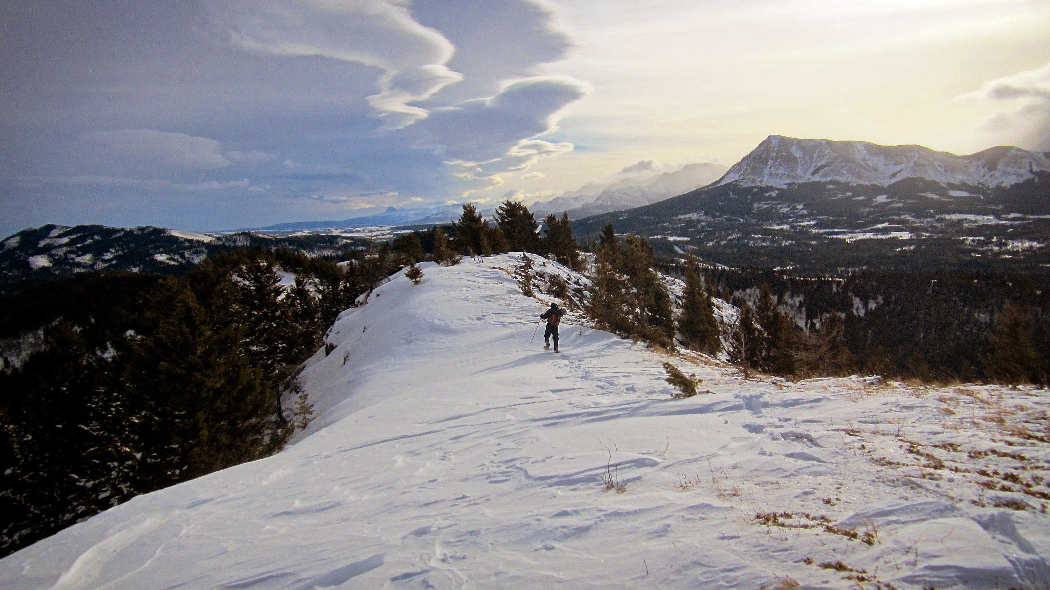
Jeff leaves the summit of Mount Albert as we head towards Piney Point. Prairie Bluff Mountain is on the right.

Looking back at the summit of Mount Albert.

The snow deepens as we make our way down the ridge.
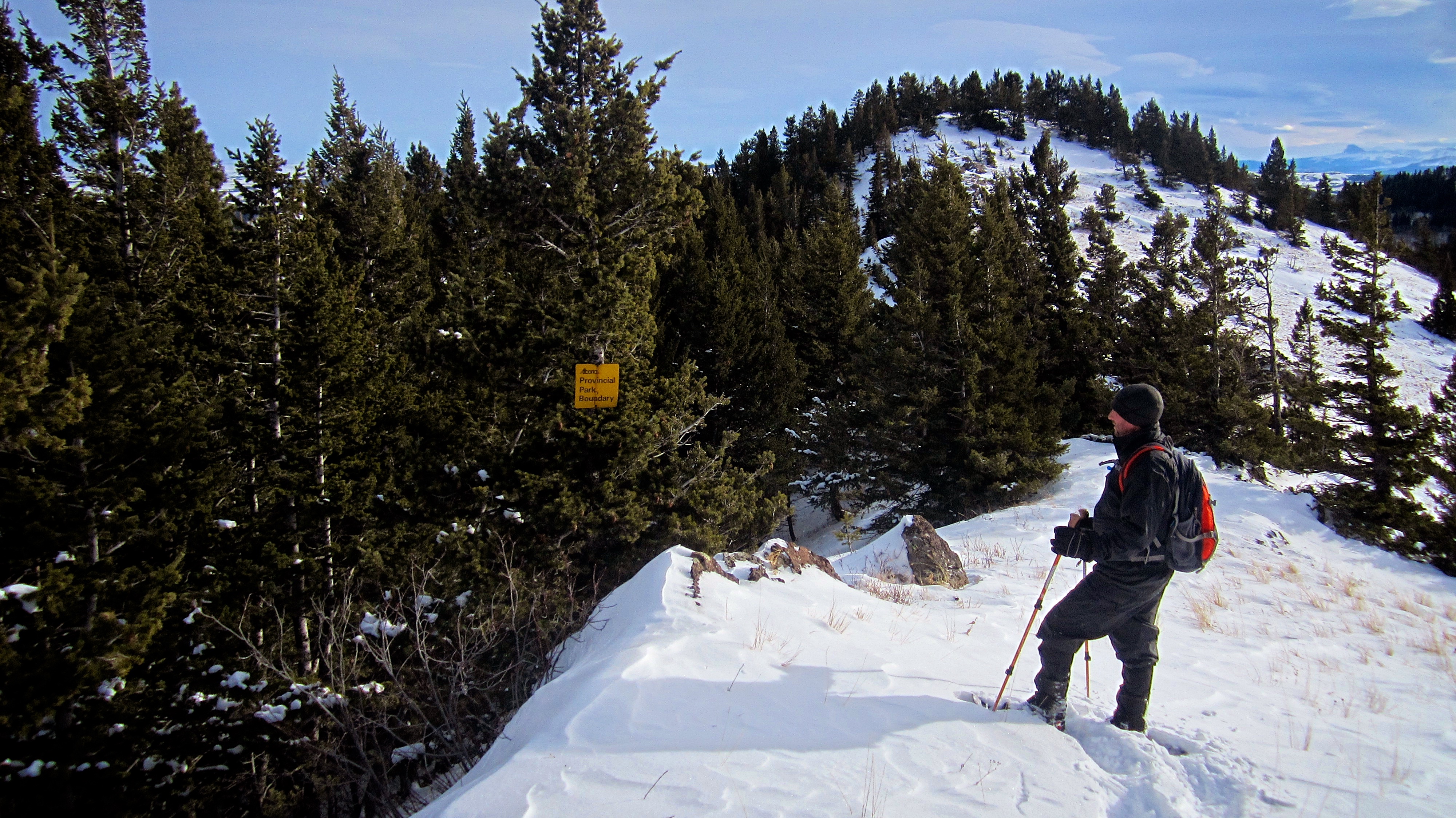
Jeff pauses to take note of a provincial park boundary sign. Our route would continue up the bump in the background.

One last look at Piney Point before we descend off of Mount Albert.

The presence of orange diamonds indicates that we are following a trail.

Jeff descends off of the ridge.

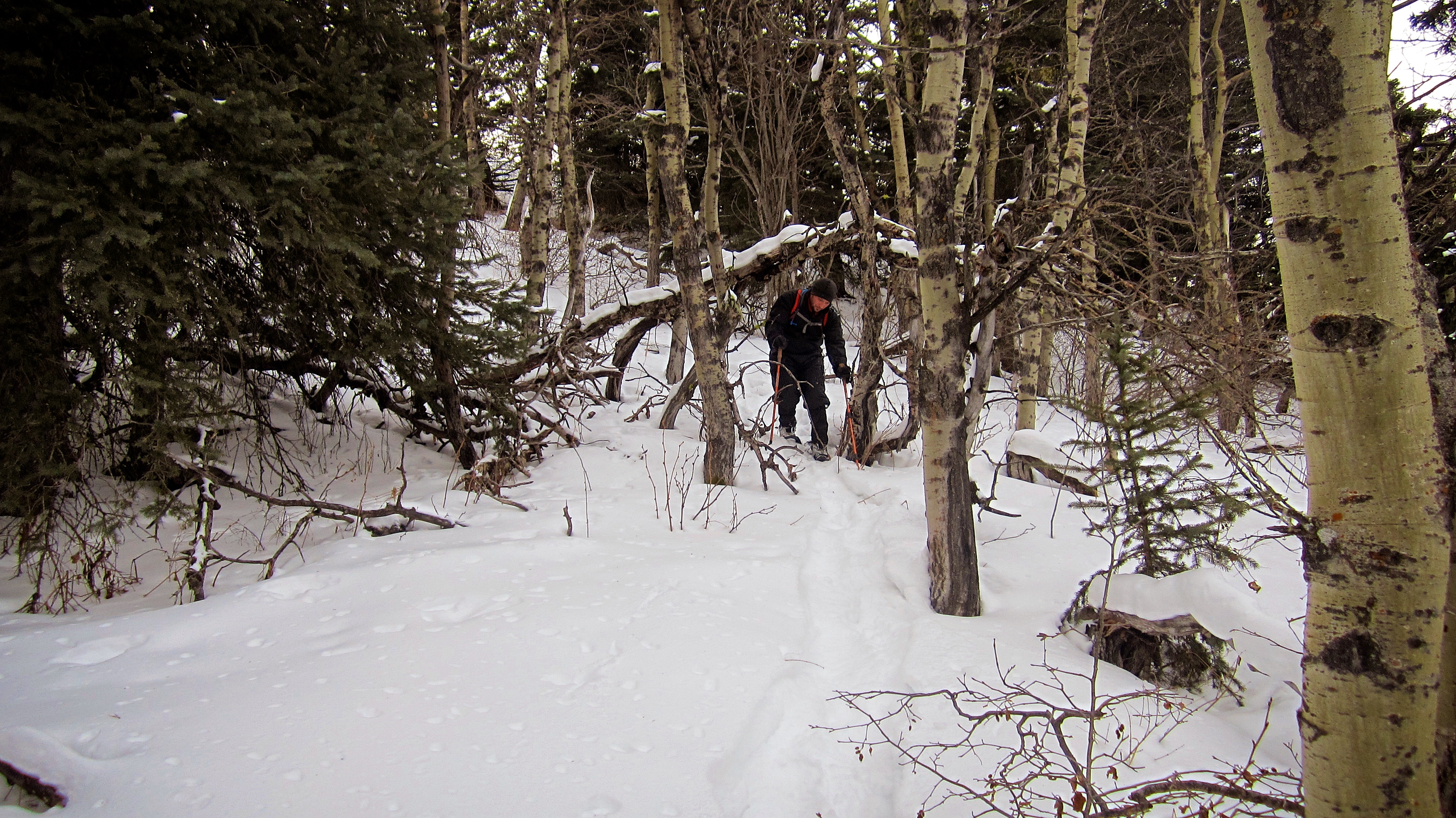
The trail winds its way through a small aspen grove.

It didn’t look like anyone had recently used this trail.

When we came to the base of Piney Point, we left the trail to head up the open slopes on the left. (Photo by Jeff Lang)

Looking back at Mount Albert from the ascent slopes on Piney Point. The summit is on the right.

A short bushwhack through the trees brought us to the top of Piney Point. From here we searched for the actual ‘summit’.

This bump ended up being the highest point we found (1607m my GPS).

Just to be safe, we walked to a clearing located to the southeast to take a GPS reading. It was 7m lower than the initial bump we found.

It was however, a great place to take some pictures. From left to right: Prairie Bluff Mountain, Table Mountain, and Mount Albert.

Jeff stands on the ‘summit’ of Piney Point (1607m my GPS).

Although they are incredibly minor objectives, after 8 weeks of injury rehab, I was glad to stand on my third ‘summit’ of the day.

The Piney Point viewpoint can be seen in the clearing directly to the north.
Since there isn’t a trail that leads to the summit, we bushwhacked northwards until we came to the Christy Mine Trail.

The Christy Mine Trail leads to the Piney Point viewpoint.

The Piney Point viewpoint.

Looking over at Mount Albert from the viewpoint.

The summit of Piney Point as seen from the viewpoint.

Jeff makes quick progress along the trail.

Looking down at Beauvais Lake.

Mount Baldy is just to the left of centre.
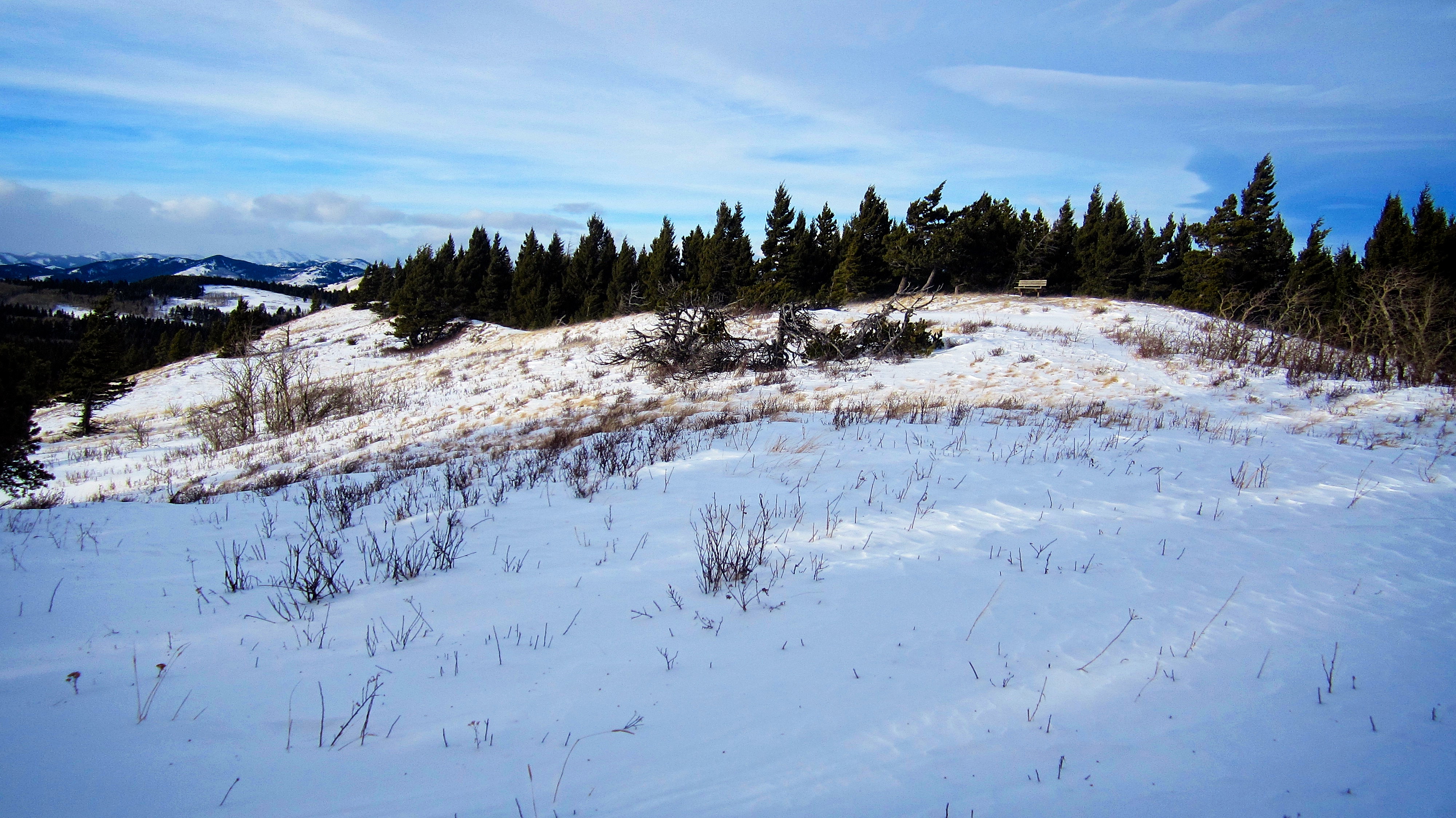
Most of the snowshoe and ski tracks coming from the parking lot ended at the park bench pictured on the right.

One last look at Mount Albert and Mount Baldy.

The Lower Smith Homestead appears in the distance.

Jeff crosses a bridge just before the ruins.

As was the case at the Upper Homestead, the trailside sign was also missing at the Lower Homestead. Perhaps they are being redone? According to a copy of the sign that I found online, “The Lower Homestead was occupied by Harry Smith, his wife, and their seven children in 1948. At this site, Harry built several sheds, a barn, and cleared land for a garden. Harry was quite well known in the Pincher Creek area for his gardening. He was referred to as the Potato King because of the quantity and quality of his potatoes. Harry like his father William, also had to work odd jobs to help supplement the family income. In 1956 the Smith family moved to Pincher Creek.”

An old plow sits next to the homestead.

After a great day of snowshoeing, we arrived back at my 4runner having covered 9.1km and 3 very minor summits in just 4 hours and 12 minutes. Even better, I woke up the next day without any lingering effects from my previous injury. Onwards and upwards!


Leave a Reply