
⚠️ Hiking and scrambling are inherently dangerous activities. Please read my Disclaimer. ⚠️
One of the things to be aware of when hiking or snowshoeing in the Crowsnest Pass, is that some of the destinations require access permission from either private landowners or those who have leased public lands for agricultural purposes. Such is the case of Burmis Mountain or as it is known by its other appellation, Burmis Mine Ridge. Sitting immediately to the south of the junction of Highway 3 and Highway 507 in the Crowsnest Pass, Burmis Mountain has been the site of several sporadic coal mining operations. According to Jane Ross and William Tracy in, Hiking the Historic Crowsnest Pass, the “old Burmis mine operated from 1924 to 1926 and again from 1961 to 1962.” (p.146, 1992 edition). However, the hiking route described by Ross and Tracy up the north side of the mountain is no longer feasible due to passage through both private and leased lands. The summit itself sits on leased public land.
Curious about finding another way to reach the summit, I utilized the Government of Alberta, Environment and Parks, Recreational Access Internet Mapping Tool to determine the demarcation between leased public land and private land on the mountain. There are rules and conditions for both leaseholders and those wishing to access leased lands for recreational purposes as both, “must respect each other’s interest in the land. The public has a right to reasonable access to public land, while agricultural users have the right to protect their livestock and the grazing resource they depend on for their livelihood.” (from the Recreational Access Internet Mapping Tool). Wanting to avoid all private property, I searched for a way up the south side of the mountain and was pleased to discover a route that passed through three separate leases.
Using the contact information that I acquired from the Mapping Tool, I then proceeded to ask each leaseholder for permission to access the land. I did this several days in advance of our trip and provided as many details as possible including the date of our trip and the number of people in our party. It was from these conversations that I discovered that CNP locals no longer call it, Burmis Mine Ridge, but rather, Burmis Mountain. I also learned that there was an extended elk hunting season underway, and that the major leaseholder would not permit hunters onto the land while we were hiking. This alone is a huge reason why it is always best to ask permission! 😉
Joining me was my friend Charlie, who had previously accompanied me up Maverick Hill in the spring of 2016. Despite a frigid forecast, we nevertheless ventured out only to luck into a temperature inversion that made the summit a balmy and windless, -10c. We also discovered that Burmis Mountain offers some great winter views. So a huge thank you to the leaseholders for their permission to access this cool little mountain in the Crowsnest Pass!

The route I devised approached the summit from the southeast. Using coordinates from the Recreational Access Internet Mapping Tool, I plotted the east and west boundaries of the leased land and marked them with white lines. Our actual route is the green line. Again, do not use this route without first obtaining permission from the leaseholders.
We began the day by driving west on Highway 3 to the junction of Highway 507 in the CNP. We turned south onto Highway 507 and drove for ~8.9km until we reached the turnoff for Township Road 64A. Here we turned west and followed the road for ~4.5km until we reached our starting point. My goal was to approach from the southeast along a small road that would take us close to a ridge that extended north to the summit. However, the first ~680 to 700m from where this road joins the hairpin curve on Township Road 64A is on private property. To avoid this, we drove ~800m further to the west and onto leased land. From our parking spot, we snowshoed up (~105m in elevation) and over a small saddle before descending to the small road (~38m elevation loss). Once on the road we then followed it to the northwest for ~900m before coming to a fork. Here we headed to the right, crossed a small creek, and arrived in a large clearing located just ~200m to the southeast of the ridge. A short stint of light bushwhacking brought us onto open slopes which we then followed all the way to the summit. We returned the same way. Note that the saddle, the road, and the summit are all located on different leases and each requires separate permission to access.

The reverse view of the previous map. The summit has both an east and a west peak. I was curious about whether the east peak was higher than the west peak, but waist-deep snow and dense bush kept us from making the short trip over from the west peak. Instead, we partially descended along our route before ascending back to the col and then up the east peak. My GPS recorded the west peak as being higher (1749m) than the east peak (1741m), but according to the topo map, these elevation readings are not not even close to being accurate. Using the elevation profile of my route on Google Earth, the west summit came in at 1715m and the east at 1709m – much more in line with the topo map. Further, my GPS readings on the summit of the east peak were lower than they were at the col! I believe that my GPS had been significantly affected by the temperature inversion and so these elevation numbers are rough at best. To my eyes, the east peak looked slightly higher.

A topo map of Burmis Mountain a.k.a Burmis Mine Ridge. As I’ve been told that Burmis Mountain is now the name that is most commonly used, I’ve decided to call it this as well. The topo map shows that the highpoint to southeast is not as high as the summit. Also, the majority of the connecting ridge between the east peak and the highpoint is located on private land.

Our total roundtrip distance was ~9km with total elevation gains of 670m (588m if using the Google Earth correction – but take all of my elevation readings in this report with a grain of salt). It took us 4 hours and 35 minutes to complete this as a snowshoe.

Our starting point along Township Road 64A. In the background to the far left is the saddle that we would cross to reach the small access road. The temperature when we started was somewhere around -17c, however, the combination of mid-day sunlight and a temperature inversion meant that the temperature on the summit was only -10c.

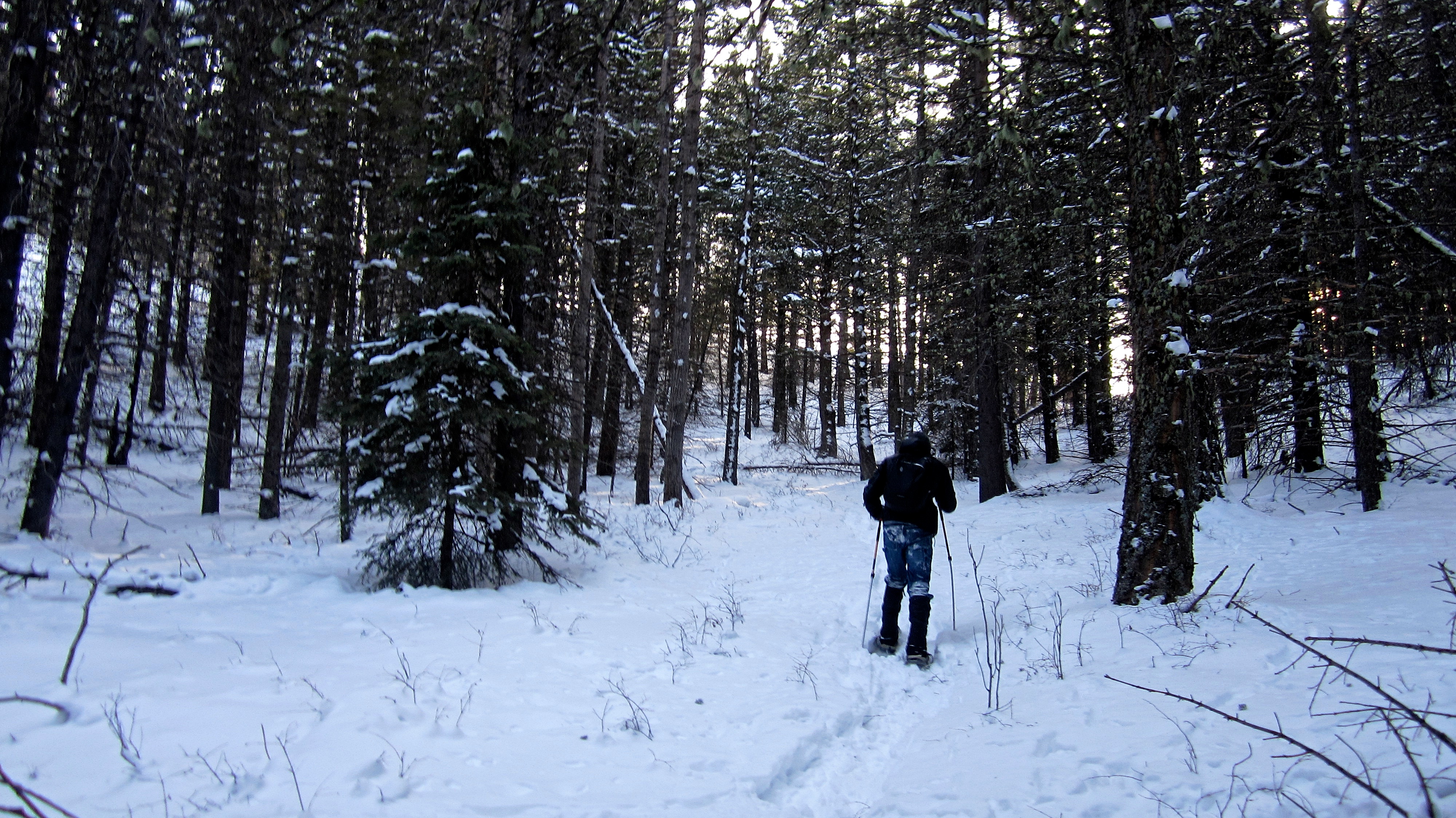
Charlie heads towards the saddle. There were deer and elk tracks everywhere!

Some light bushwhacking was required to reach the saddle.

A small fence divides the saddle and marks the transition from one lease to another. The highpoint that is located to the southeast of Burmis Mountain is in the centre.
After gaining ~105m in elevation to reach the crest of the saddle, we then had to lose ~38m in elevation to get to the road. The route from the saddle to the road also involved some light bushwhacking.

Approximately 915m from our vehicle, we reached the small road that would take us to the ascent ridge.

We took turns breaking trail as the snow along the road was quite deep in places.

I sometimes wonder if snowshoeing these little mountains ends up burning close to the same number of calories as hiking up the bigger mountains in the summer?

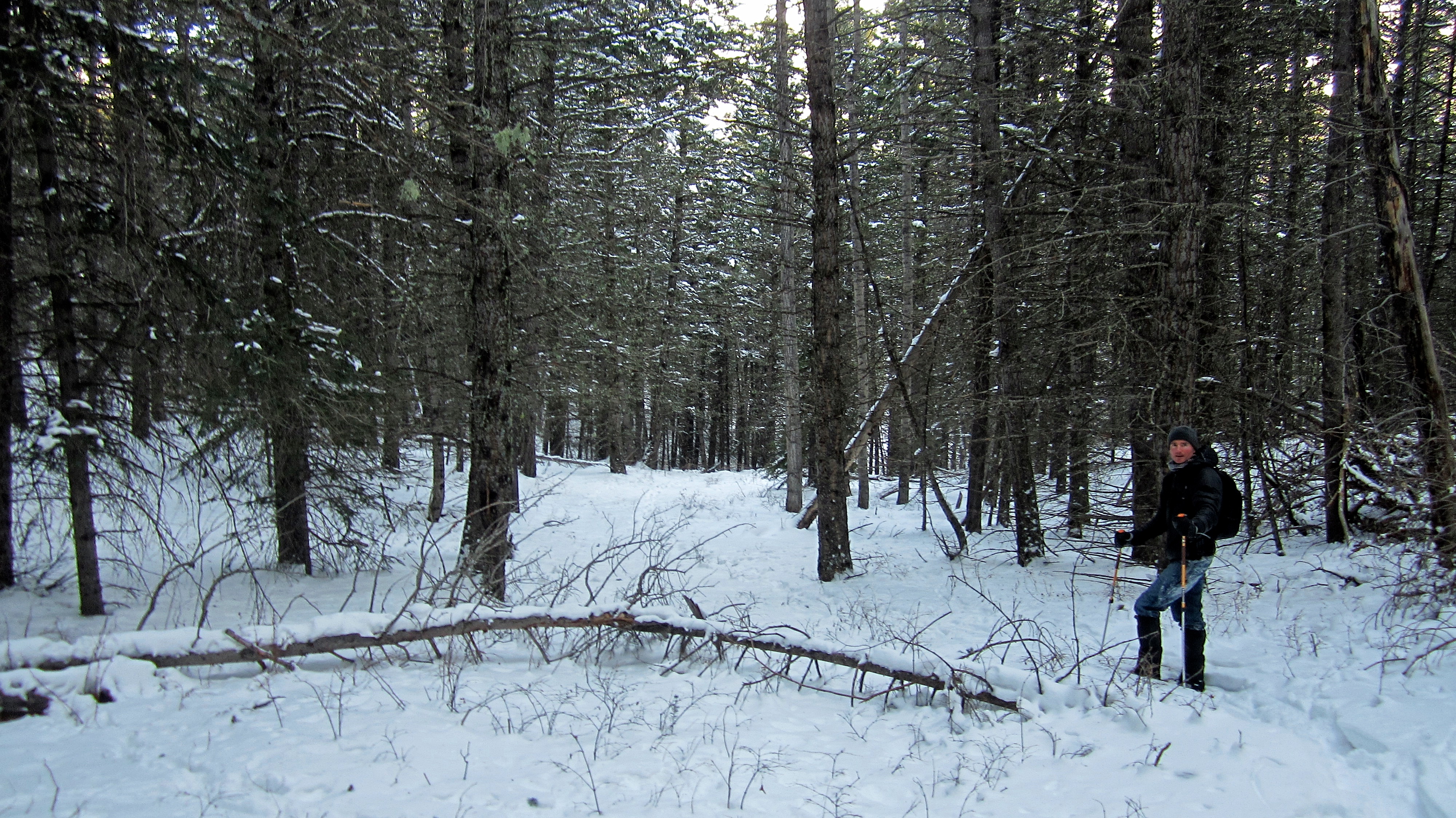
Travel along the road was quite scenic, though thick forest cover prevented us from seeing the ridge.

The reverse view of the previous picture.

After ~900m we came to a fork in the road. We would follow the road to the right.
The road crosses a small creek before entering a large clearing.

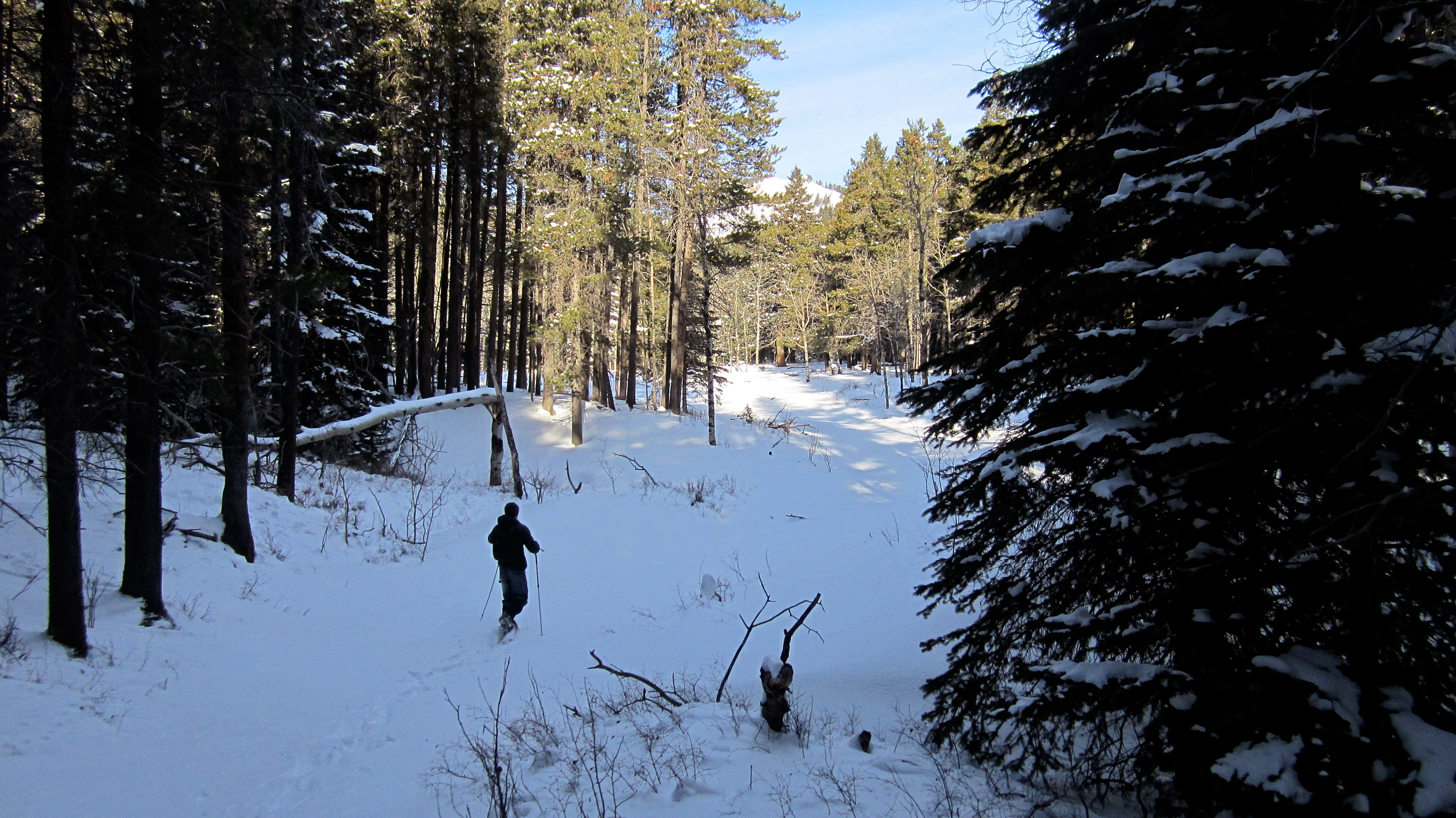
From the clearing we made our way through ~200m of light forest to the base of the ridge.

It wasn’t long before we reached the open slopes of the ridge. The amount of animal tracks that we came across was amazing.

Alongside the many ungulate tracks were the occasional tracks of a cougar.

The view from the lower slopes of the southeast highpoint. The clearing that we used to access the ridge can be seen on the lower right.

A telephoto of our route to the ridge. The saddle we crossed is in the upper right corner of the picture and the clearing is in the centre.

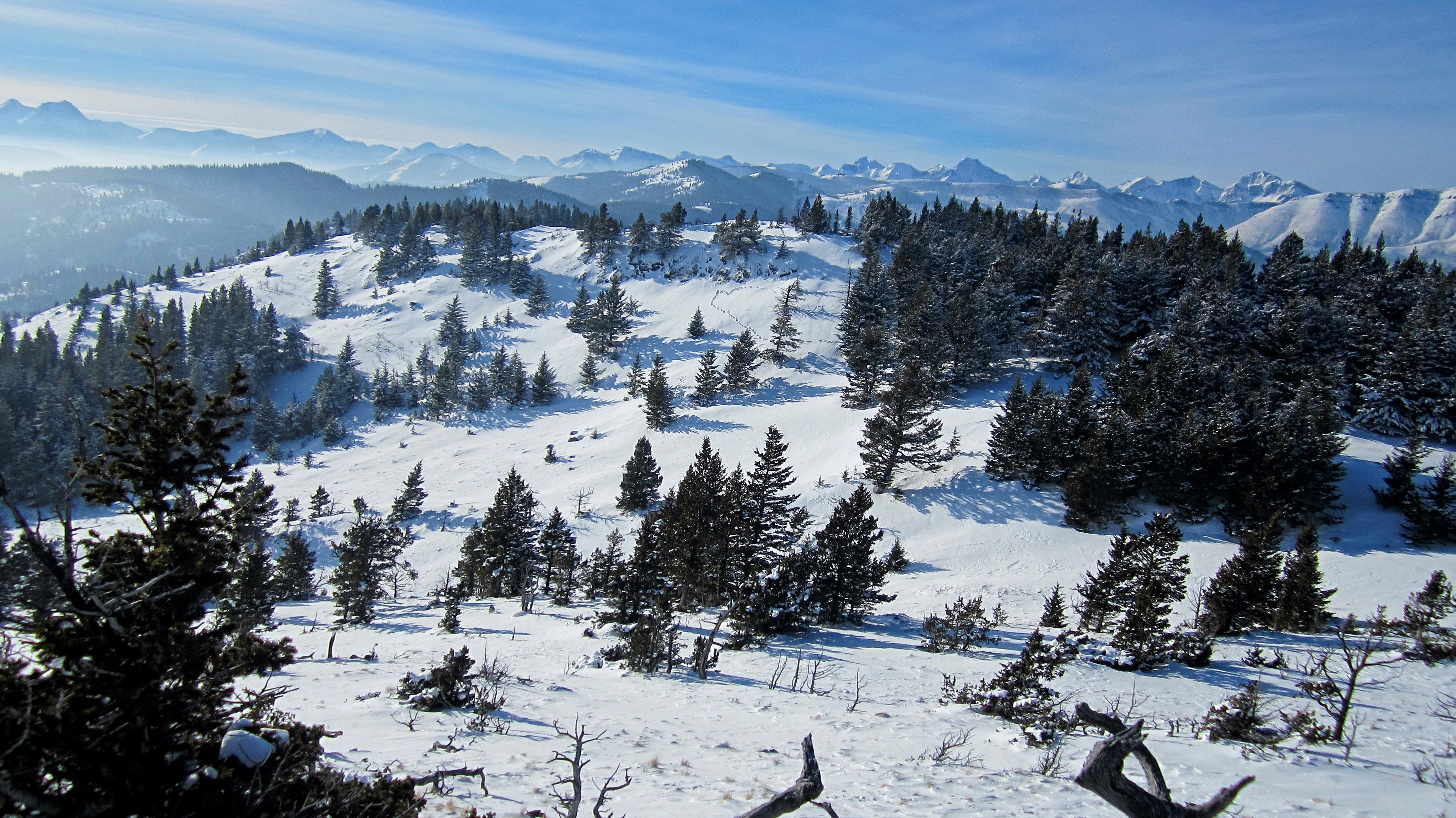
Our trip along the ridge took in some beautiful scenery.

Looking at the connecting ridge between the summit of Burmis Mountain and the southeast highpoint (right). Most of this ridge is located on private property.

The ~1.8km trip from the base of the ridge to the west peak offered its share of ups and downs as it gained close to ~310m in elevation.
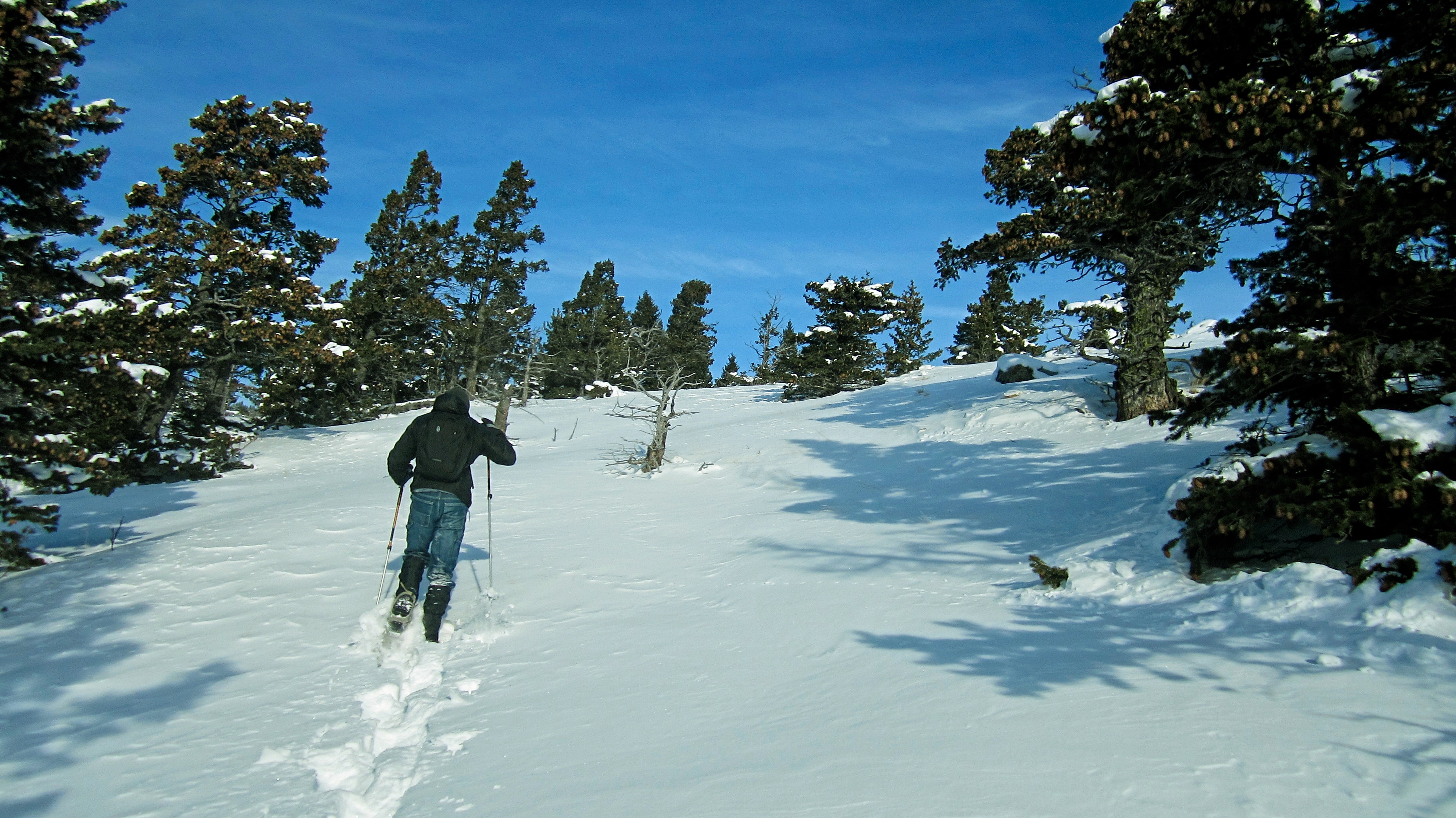
Charlie leads the way!

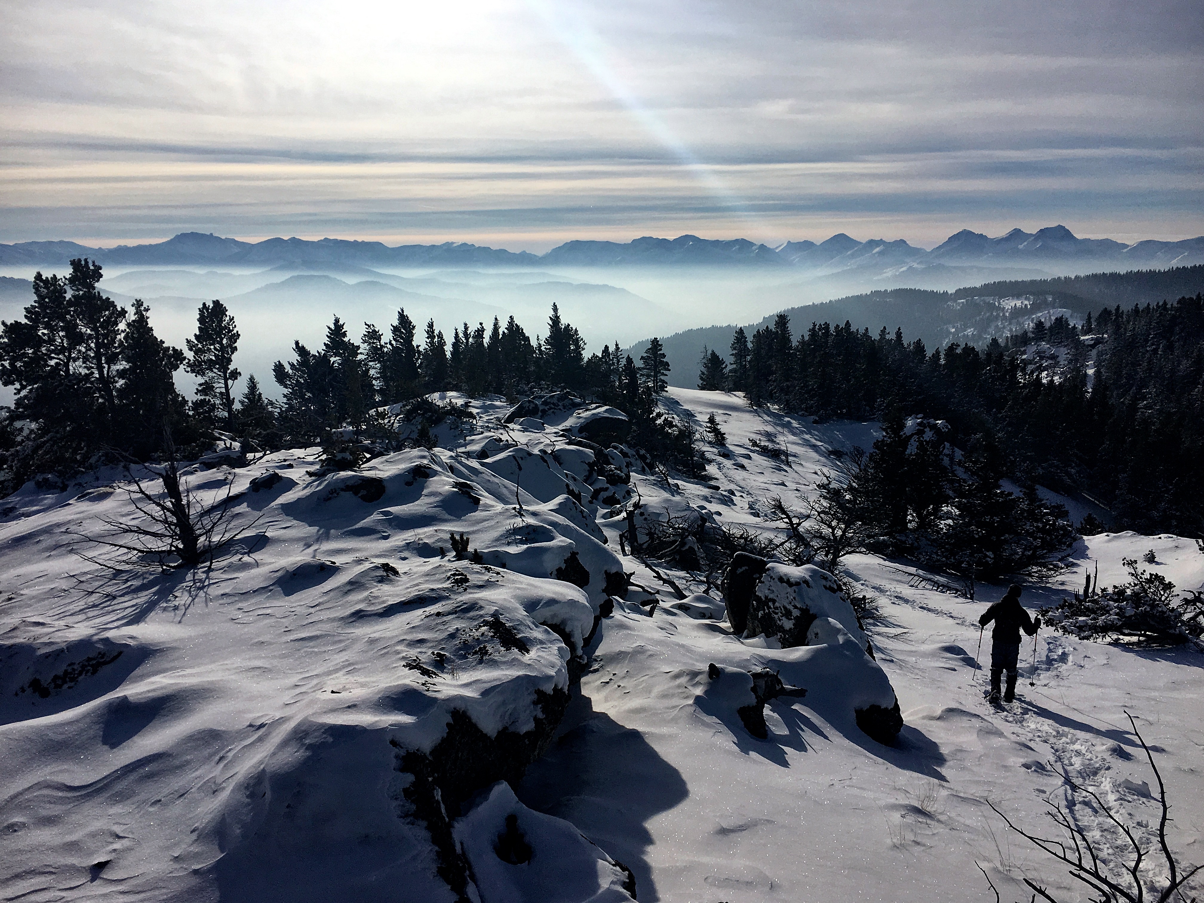
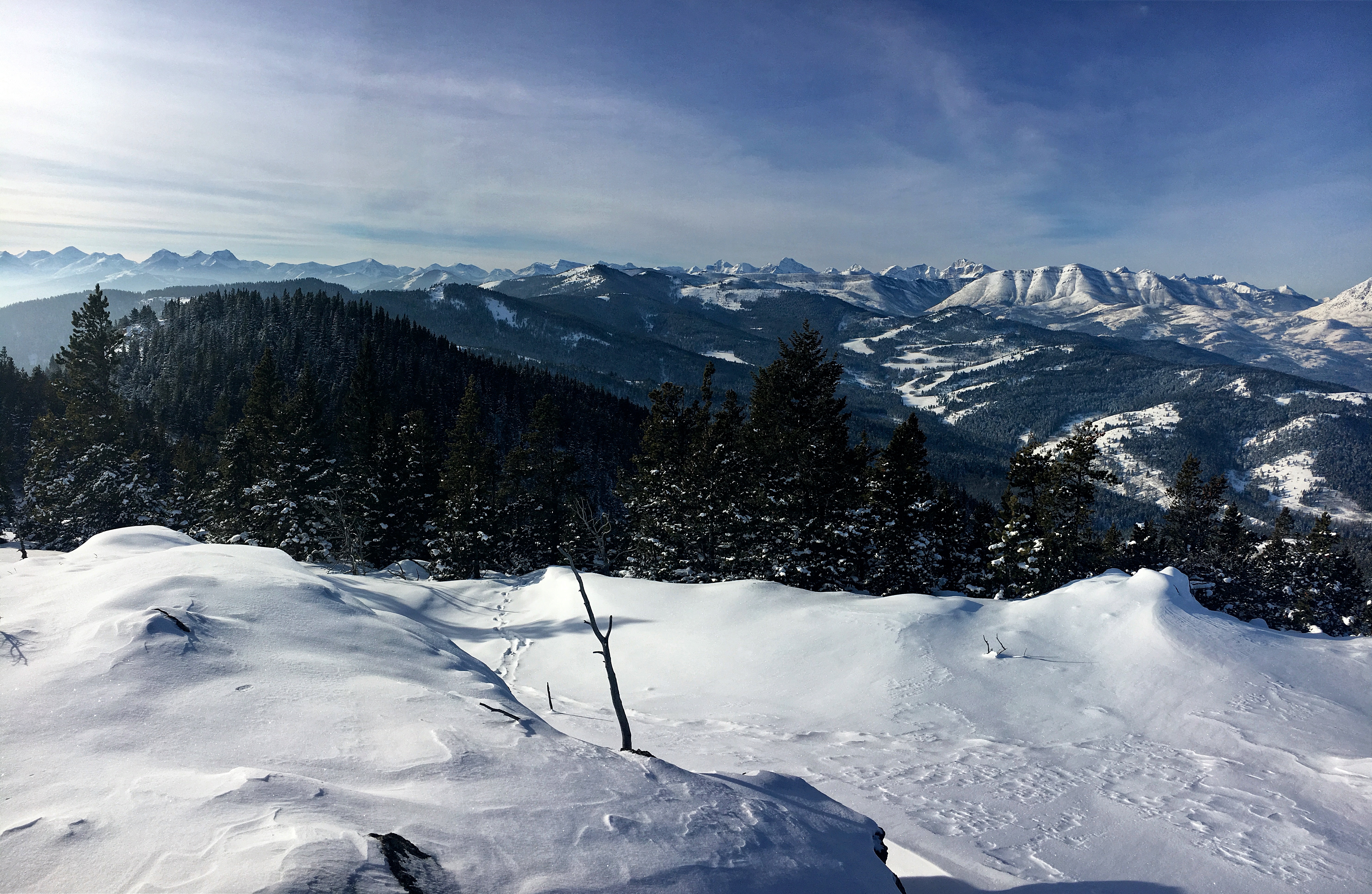
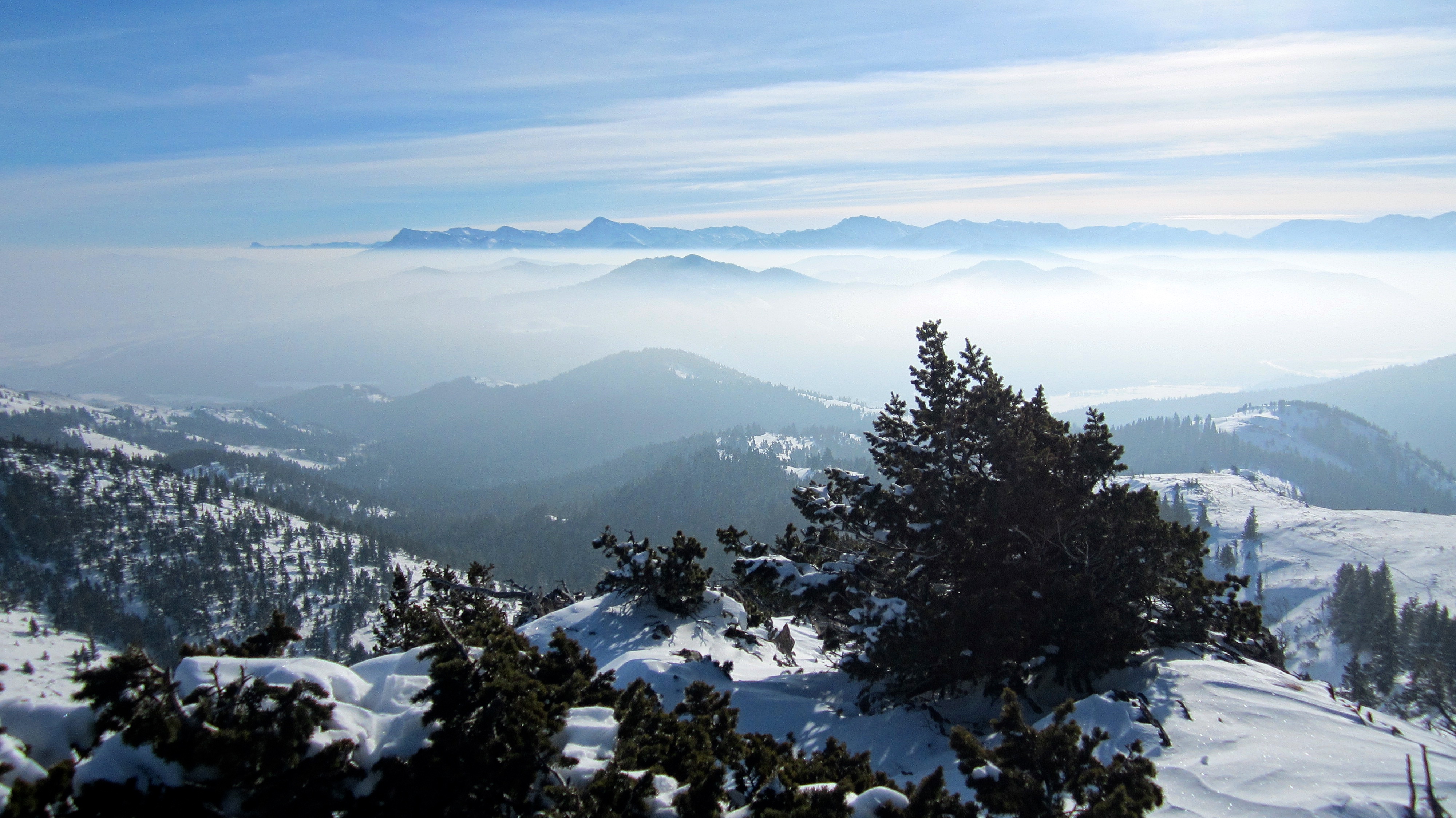
An absolutely gorgeous view to the south from along the ridge. The temperature inversion that we lucked into is identified by the presence of low cloud cover – where a layer of warm air sits on top of a layer of cold air.

The west peak is on the left and the east peak is on the right.

This picture is quintessential CNP.

The final section before reaching the summit of the west peak.

The summit of the west peak of Burmis Mountain.

A partial pano from the summit to the northwest.
A partial pano to the west.
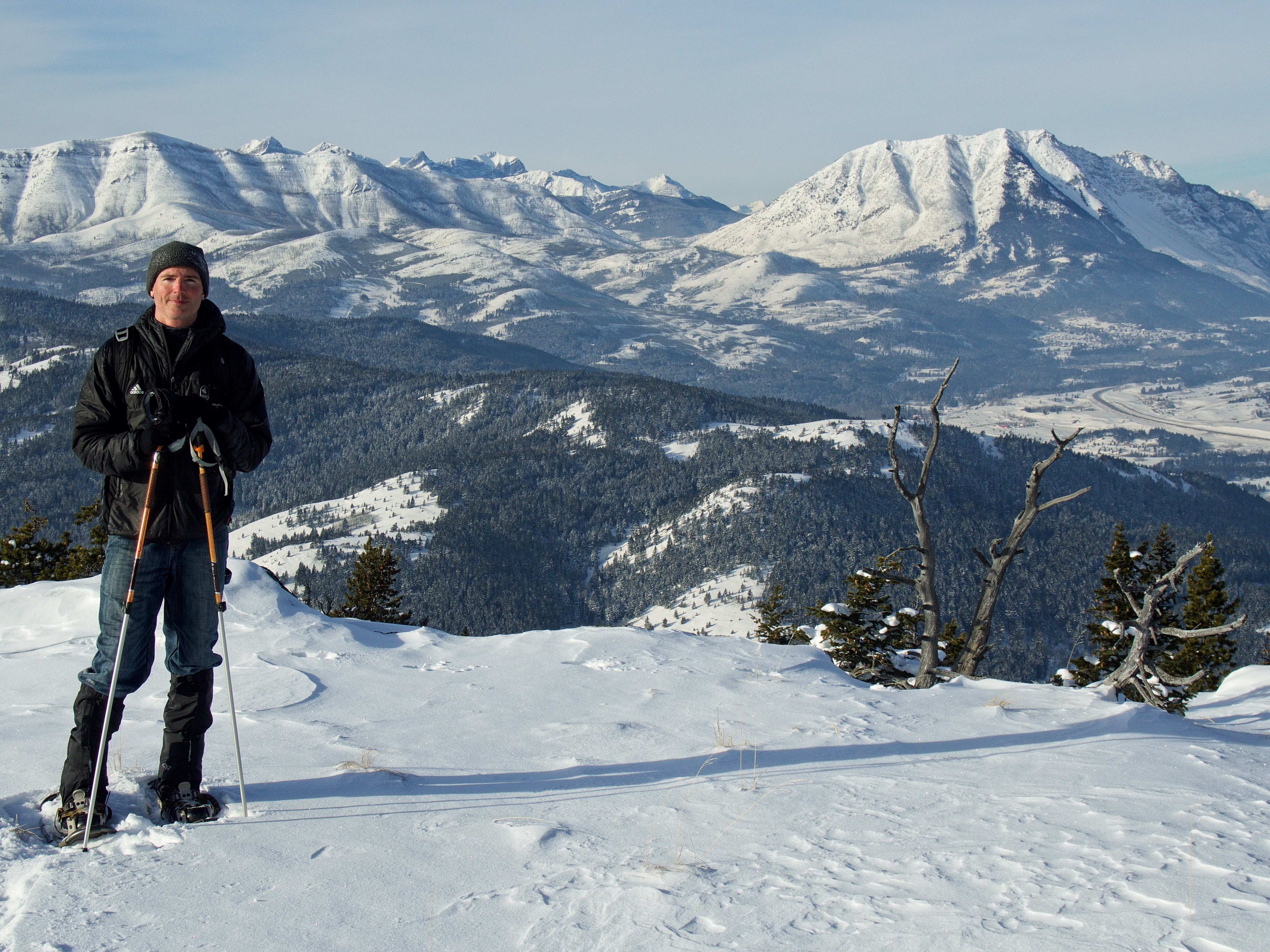
Charlie on the summit of the west peak of Burmis Mountain.

Me on the summit – or close to it. After exploring the summit further to the north it was hard to determine the highest location on the west peak. We also did not find a cairn.

Looking at the east peak from the summit of the west peak while some deer (left) return the stare… To me, the east peak looks slightly taller…

A telephoto slightly to the southeast. On the far left is little Mount Albert and behind it in the distance is, Ninastako (Chief Mountain). From centre left to right is Prairie Bluff Mountain, Drywood Mountain, Pincher Ridge, and Victoria Peak. Blue Mountain is in the foreground on the right.
A telephoto to the southwest. From left to right: Mount Haig, Gravenstafel Ridge, Syncline Mountain and Mount McCarty.

The view slightly to the southwest. In the foreground from left to right is Byron Hill, Spades Peak, and Hillcrest Mountain. In the distance is Mount Darrah and Mount McGladrey.

Hillcrest Mountain and Turtle Mountain sit directly to the west.

A telephoto to the northwest. From left to right: Turtle Mountain, “Deadman Peak“, Crowsnest Mountain, Wedge Mountain, and Bluff Mountain.

A telephoto to the northwest of the Livingstone Range. In the foreground to the right is Robertson Peak and Tallon Peak. In the distance are “The Dog”, Morin Peak, “South Peak”, and Centre Peak.

We ventured to the north end of the west peak to see if we could find a way over to the east peak, however, dense brush and waist-deep snow would make this impossible.

Looking back as we make our way to north end of the west peak. This spot is where my cranky GPS appears to have pinged the highest point.

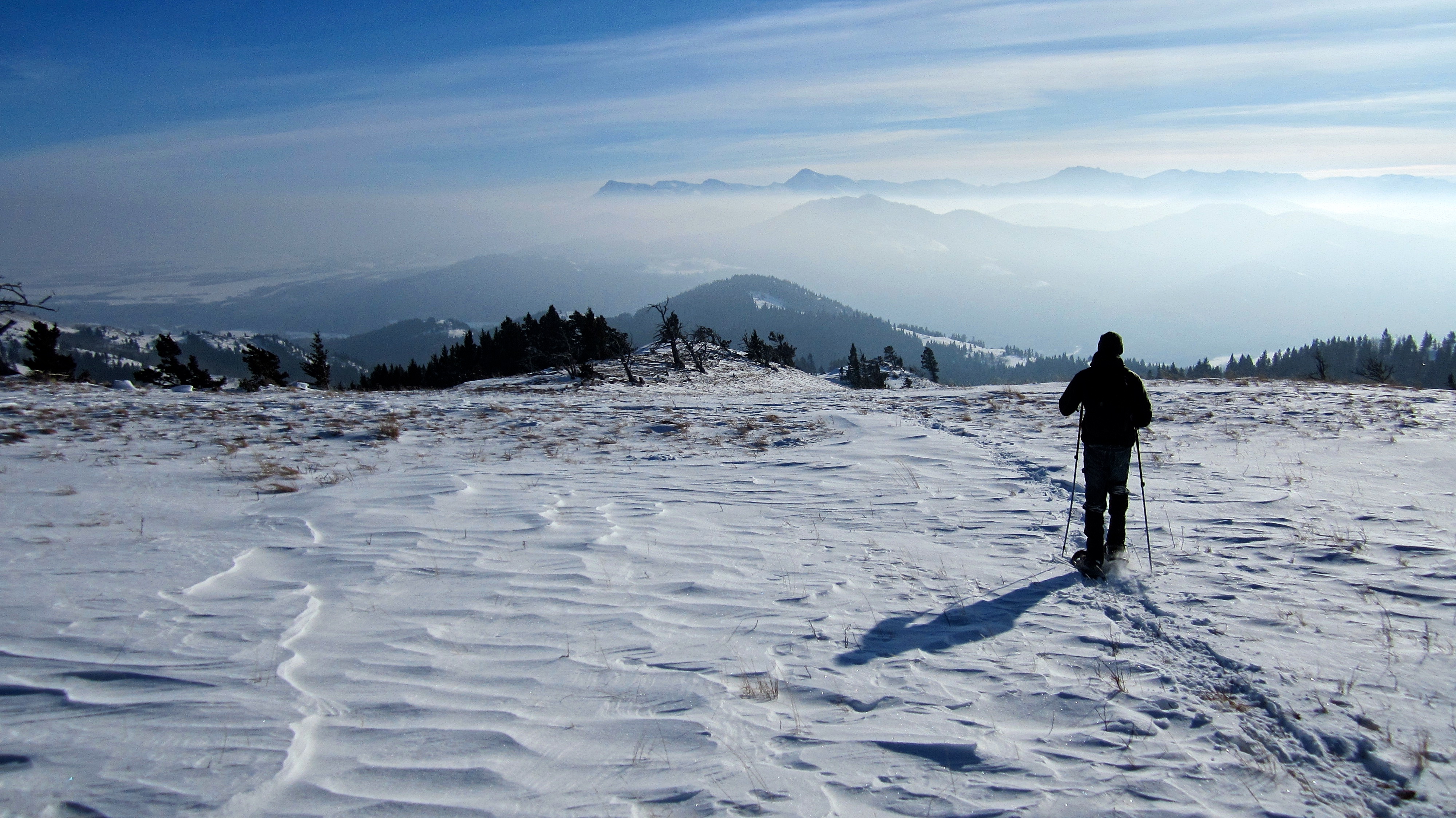
The north end of the west peak provides a nice view of the CNP.

Charlie stands on the north end of the west peak.

I love these little mountains in the winter!

After eating lunch and enjoying the views, it was time to leave the west peak.

While Charlie waited on the ridge, I headed towards the col between the west peak and the east peak – a distance of ~400m from this location. I couldn’t leave before I determined the elevation of the east peak – and I still don’t know! 😉
The view of the Livingstone Range from the col. The summit is an easy ~60m walk from the col. This is where my GPS recorded a higher elevation than the summit of the east peak…

The summit of the east peak of Burmis Mountain.
Looking at the west peak from the summit. From the west peak this peak looked higher, and it still did after I was standing on it. However, since my GPS was completely unreliable in its elevation readings, I don’t have an accurate reading for the east peak to confirm this. Given this discrepancy, I’m just going to go with saying that the summit of Burmis Mountain features two peaks that are roughly equal in elevation. ‘Peak’ might even be too strong a word…
The view south from the summit of the east peak. Blue Mountain, which is roughly equal in height to Burmis Mountain, is in the centre and “Screwdriver Ridge” is to its right.

The east peak offers a good view of the highpoint that is located to the southeast. Most of the connecting ridge however, is on private property.

The temperature inversion obscured the view to the east. Highway 507 can be seen below.

To the north, Ky-es-kaghd-oghsuyiss (the Porcupine Hills) is also partially obscured.

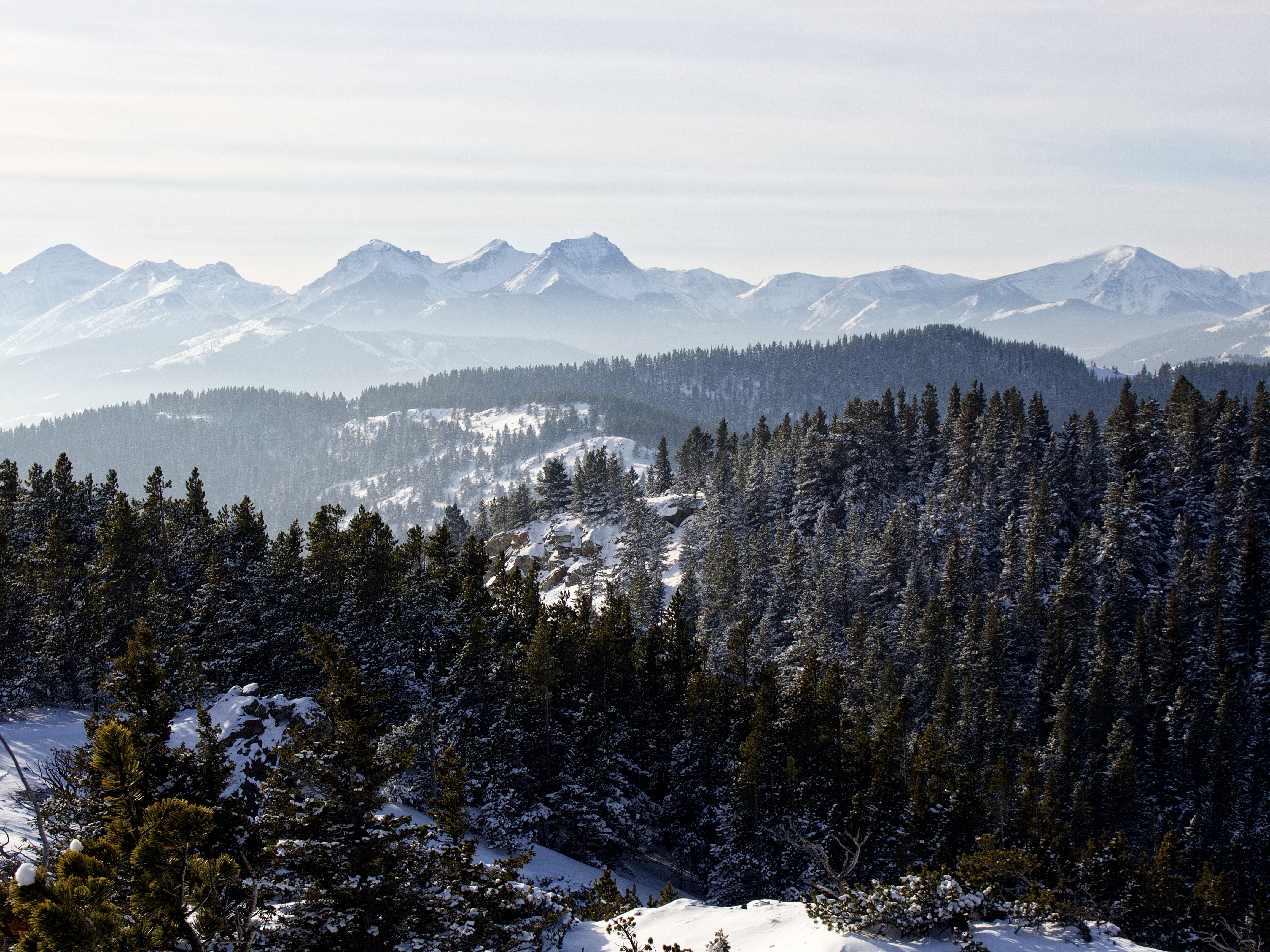
The view to the northwest.

Another view, though only slightly to the northwest.

The view west.

After I finished snapping pictures on the summit, I rejoined Charlie on the ridge.
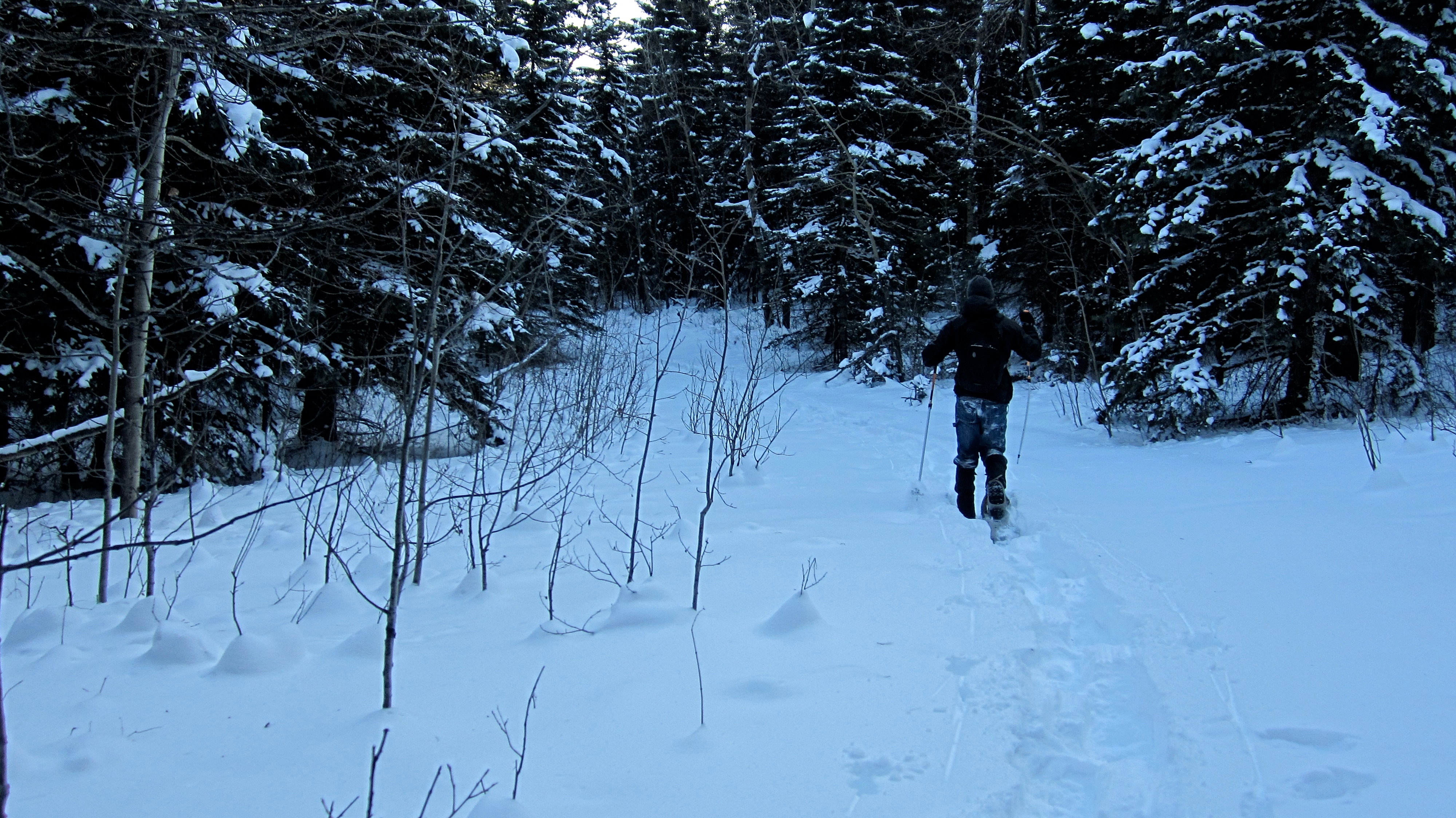
Heading home.

Charlie stops to compose a picture of a tree.

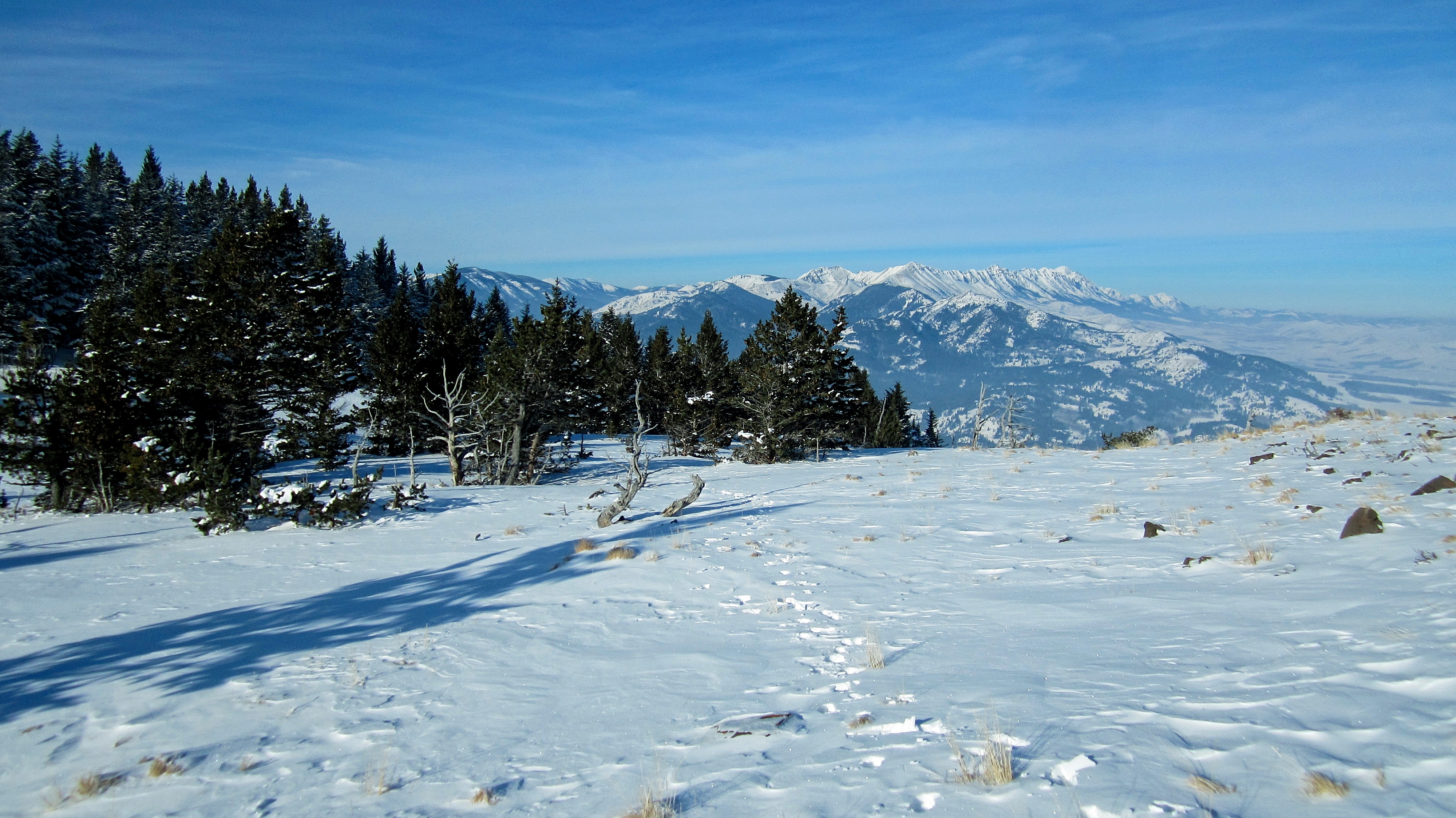
We retraced our original route.

Back in the clearing after descending the ridge.
The nice thing about snowshoeing is that all of the work that you put into blazing a trail, pays off at the end of the day.

Charlie stands at the junction where our route from the saddle joined the road.
Regaining the ~38m in elevation to the saddle. Fortunately, it was a fairly gradual ascent.

Heading down from the saddle towards Township Road 64A (foreground). A frozen Castle River parallels the road through the centre of the picture.

Arriving back at my trusty 4Runner after a fantastic day of snowshoeing! I’m so glad that I put in the effort to contact the leaseholders because given its restrictions on access, I’m not sure that the summit is visited all that often. I’m also thankful for the extra information they were able to provide me with, such as the preference of the name Burmis Mountain over Burmis Mine Ridge, and for restricting hunting access. I’m also grateful to have had the company of my friend Charlie, who, while new to snowshoeing the terrain in southern Alberta, is a veteran backcountry snowshoer in the Kootenays. We had a great time!

Leave a Reply