
⚠️ Hiking and scrambling are inherently dangerous activities. Please read my Disclaimer. ⚠️
Day two of our trip began with clear skies and an amazing sunrise. Feeling rejuvenated after a good night’s sleep, we were ready to tackle Mount Matkin. First however, we packed up camp and then stashed our packs so they’d be ready on return. We had a long hike out and we wanted to get on the trail quickly, especially if Matkin took longer than we thought.
According to Dave Birrell, “Mount Matkin is one of only seven [peaks] in the province named in honour of Albertans who gave their lives for their country during the Second World War.” (50 Roadside Panoramas in the Canadian Rockies, 14-) Unnamed until 1962, the Geological Survey of Canada originally proposed the name, Citadel Peak. (Ibid.) However, as the name was already used, it was decided that it would be named after a local area serviceman who had been killed in action. (Ibid.) Officially it was named after RCAF Sgt. Philip Keith Matkin (24) from Cardston (BC Geographical Names Office) but as Birrell notes, there was another casualty who lived even closer to the mountain: RCAF Flying Officer Merlin Leigh Matkin (21) who was Philip’s younger brother and who lived in Leavitt. (50 Roadside Panoramas in the Canadian Rockies, 14-) Thus, the mountain pays homage to two brothers who gave their lives for Canada and whose family experienced unthinkable loss.
When we set off for Matkin, we already had an idea of the route thanks to Cornelius Rott. However, instead of going straight up a scree slope to gain the west shoulder of the mountain, we left the Great Divide Trail (GDT) where it crossed a large open slope after only a few minutes of hiking down the trail. From here we traversed our way onto the west shoulder where we rejoined Cornelius’ route.
As for the scrambling, I’d say that it was moderate in a couple spots with some mild exposure – but that was about it. Once we were firmly on the west shoulder, everything was golden. All we had to do was traverse the side of the enormous drainage until we were directly beneath the summit. A short but steep hike up loose rubble, brought us onto the summit. In fact, it only took us 1 hour and 45 minutes over ~2.6 km (444 m elevation gain) to get there. Nice!
We more or less returned the same way, except we did descend using the scree slope used by Cornelius. Once back on the trail, it was a quick trip back to our packs where we refilled our water and ate a quick lunch. Then it was time to head back along the GDT.
As I mentioned in my description of Font Mountain, both Brad and I were impressed by the designers of the GDT. The topography of the trail in this section is well-suited to backpackers and the scenery is excellent. There is one fork when the trail is descending from Font, where we noted that if there wasn’t a GDT sign, it could be easy to make a mistake and keep following the trail down into the valley.
In all, it only took us 5 hours and 10 minutes over 22 km to get from our campsite to Red Rock Canyon. Of course, the secret weapon to making this route work was our bikes. It is truly a glorious feeling when you can hop on your bike at the end of a long couple of days and more or less coast back for the final ~8.5 km.
Again, this was a fantastic trip and a huge thanks to Brad for all the laughs. 🙂
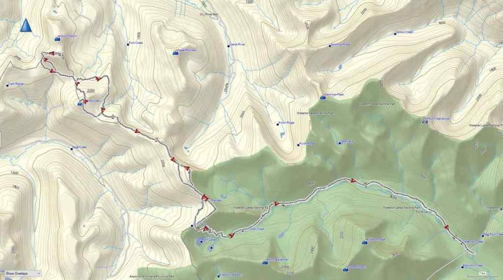
To get to our starting point, we drove to the Red Rock Canyon parking lot where we accessed the Snowshoe trail. From the trailhead we biked for ~8.5 km (1 hour; 287 m elevation gain) until we reached the end of Snowshoe and the start of the Twin Lakes trailhead. From here, we hiked for 3 km (220 m elevation gain) until we reached the trailhead for Sage Pass. We then turned onto Sage Pass trail and followed it for 1.4 km (160 m elevation gain) until we arrived on Sage Pass.
Instead of following the Great Divide Trail (GDT) north from the Pass, we headed to climber’s right and up and along the gentle ridge towards “Sage Pass Peak”. By following the mostly open slopes for ~920 m (160 m elevation gain), we soon arrived on the summit and were surprised by how good the views were. For reference, it took us 3 hours and 20 minutes and ~13.8 km (837 m elevation gain) from Red Rock Canyon to reach the summit.
From the summit of “Sage Pass Peak” we descended ~530 m (76 m elevation loss) to the col with “Sage Senior” where we joined the GDT. We followed the GDT up and along the ridge towards “Sage Senior” for about 690 m before leaving it to regain the ridge proper. We then followed the ridge for another ~600 m to the summit. In total, from the summit of “Sage Pass Peak”, it took us 1 hour to cover the ~1.9 km (224 elevation gain) distance to the summit of “Sage Senior”.
After a quick lunch on the summit, we set off toward toward Font Mountain. An easy downhill hike for ~500 m (74 m elevation loss) brought us back to the GDT which we then followed for ~2.5 km until it began to trend to climber’s right around a large high point shortly before Font. In hindsight, perhaps we should have left the GDT and followed the ridge, but we continued along the trail for another ~1 km; leaving it to regain the ridge on the other side of the high point when it began to descend toward Font Creek. In reality, we only had to regain ~270 m (50 m elevation gain) to reach the ridge, so it wasn’t a big deal.
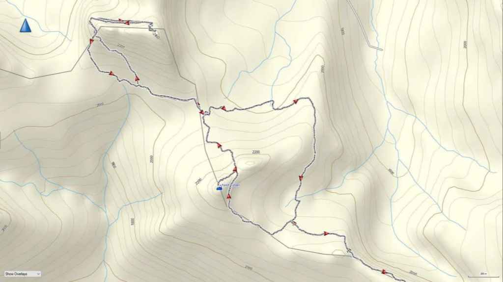
Once back on the ridge, Font was directly in front of us and a further ~550 m of hiking brought to the base of the summit. Following Andy’s route, we traversed to climber’s right for ~400 m until we gained the col with its subpeak. From the col to the summit, it was a ~280 m scramble (94 m elevation gain) to reach the summit. For reference, from the summit of “Sage Senior” it took us 2 hours and 45 minutes over ~5.5 km (315 m elevation gain; 384 m elevation loss) to reach the summit of Font (6 hours and 45 minutes from the Red Rock Parking lot). Once back on the col, we descended Font’s north side for ~870 m (200 m elevation loss) to reach our campsite.
The following day, we left our campsite and followed the GDT for ~870 m towards Matkin, until we came to a large open slope. As this was the closest the GDT came to the mountain, we decided to make a traverse to gain elevation until we joined Cornelius’ scramble route around the west side of the mountain. From the trail to the west end beneath the cliffs, it was a ~760 m traverse / scramble (210 m elevation gain).
Once on route, we picked our way around the base of the west-facing cliffs for ~200 m until we rounded the corner and could look east and up the entire drainage. Staying high to not lose elevation, we traversed for ~640 m (121 m elevation gain) until we were directly beneath the summit. A ~170 m scramble (58 m elevation gain) over loose rubble and boulders, brought us onto the summit. For reference, from our campsite to the summit it took us 1 hour and 45 minutes over 2.6 km (444 m elevation gain).
After enjoying the views, we returned the way we came, save for a more direct descent route back to the GDT. Once back at camp, we gathered our packs and set off on the GDT towards Sage Pass. The GDT skirts the east side of Font and as it descends, the trail forks, with the right fork being the GDT and the left fork continuing into the valley. Making a mistake here would be costly.
After hiking for 1 hour over a distance of ~2.7 km (180 m elevation gain; 130 m elevation loss), we arrived at the spot where we had left the trail to summit Font. We then followed the GDT trail all the way back to Sage Pass, bypassing both “Sage Senior” and “Sage Pass Peak”. For reference, it took us 3 hours and 20 minutes to cover the ~9.1 km (505 m elevation gain; 417 elevation loss) distance from our campsite to Sage Pass.
Once on Sage Pass, we descended the ~1.4 km to Twin Lakes trail, and from there, hiked for another ~3 km back to our bikes at the trailhead. Finally, we rode our bikes for ~8.5 km back to the Red Rock Canyon parking lot. For reference, from our campsite to the Red Rock parking lot, it was a total distance of ~22 km (581 m elevation gain; 1092 m elevation loss) that we covered in 5 hours and 10 minutes.
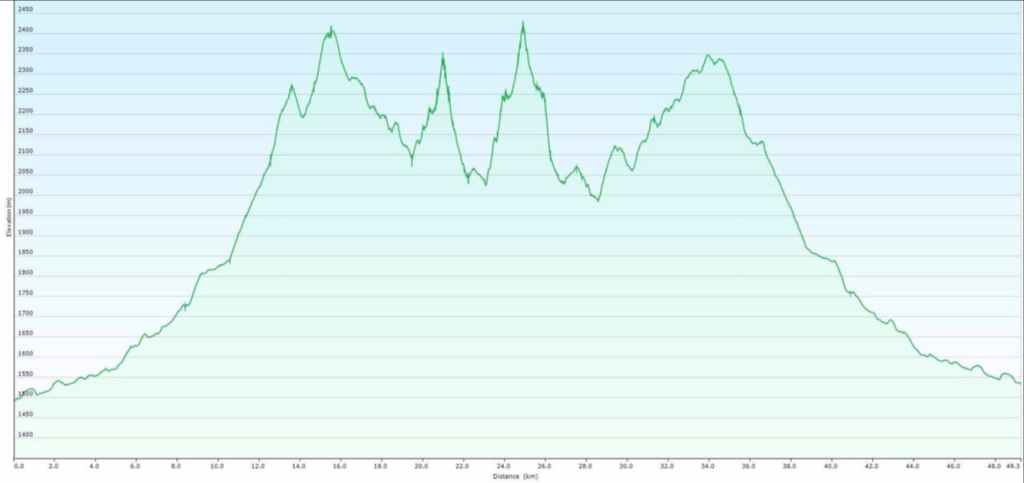
Our total distance travelled over the two-day adventure came in at ~51 km with a total elevation gain of 2605 m.

A crisp, clear sky punctuates the moon above Font.
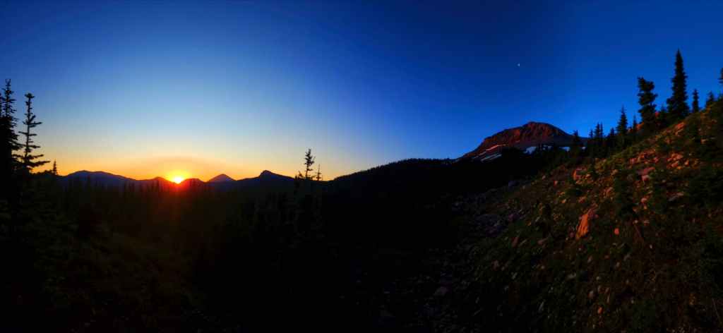
Sunrise with the moon still above Font.
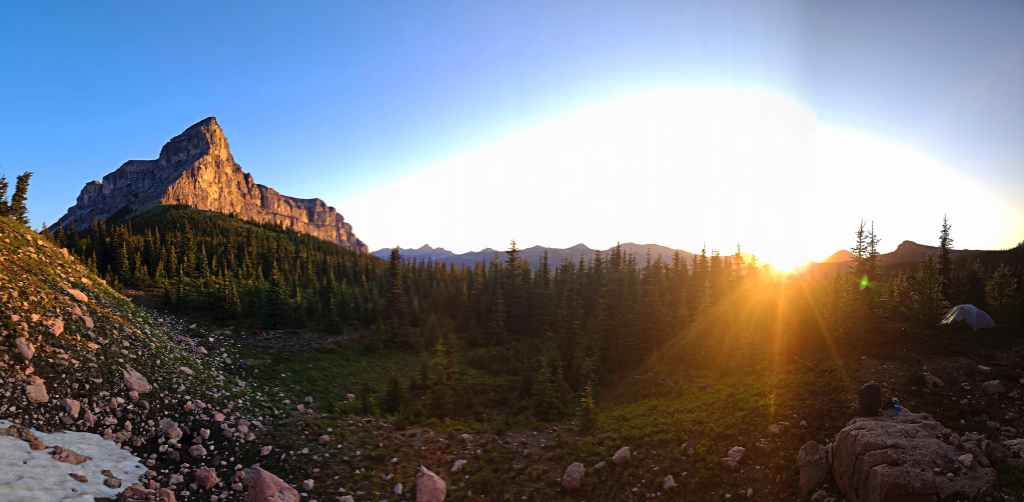
Good morning, Mount Matkin! 🙂

Good morning, Font Mountain! 🙂 (Photo by Brad Wolcott)

Making the quick trip to the base of Matkin.

On the GDT and looking back at Font. (Photo by Brad Wolcott)

Easy hiking along the trail.
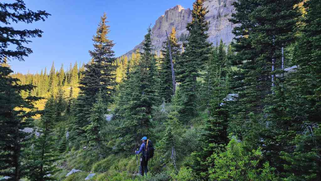
After 10 minutes or so, we arrived at a large open slope. As this was the closest the GDT came to the mountain, we decided to make a traverse to gain elevation until we joined Cornelius’ scramble route on the west side of the mountain.

Heading up the slope to the base of Matkin.
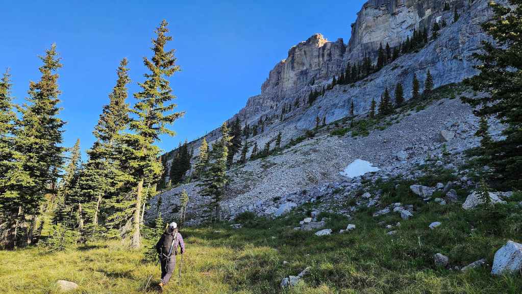
We will traverse towards the small shoulder in the centre.
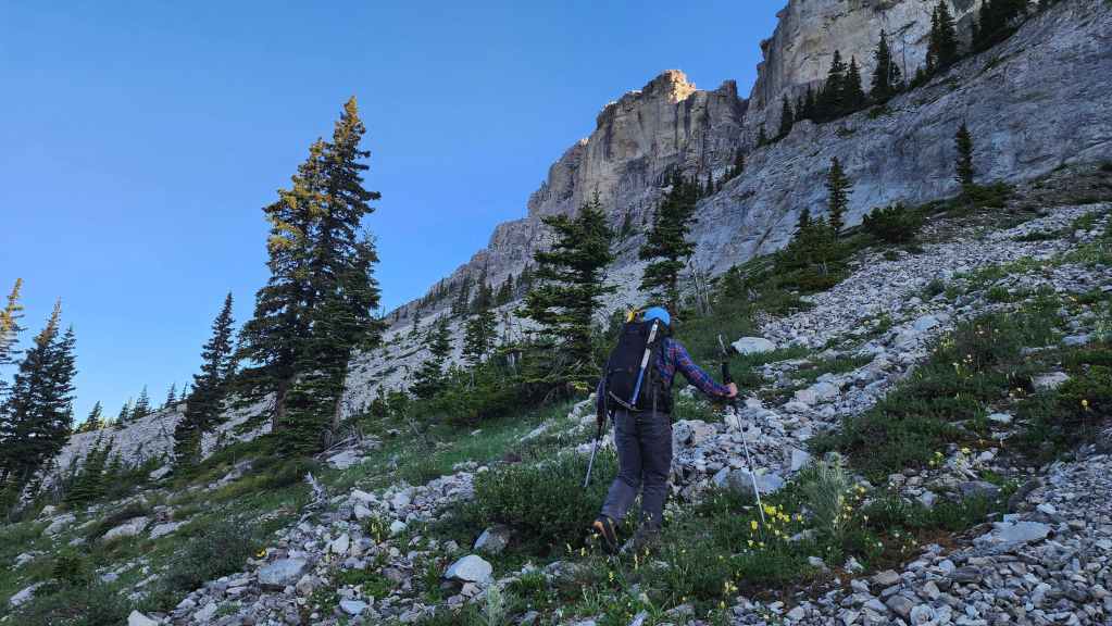
The cliffs on Matkin are impressive.
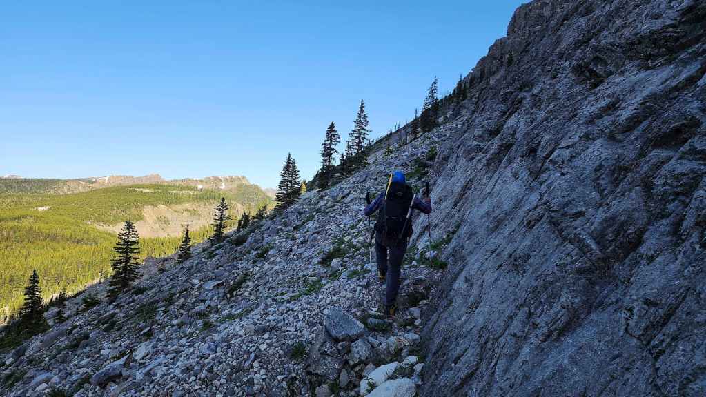
Following the cliff base toward the shoulder.
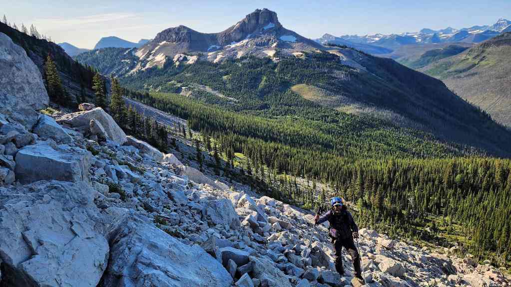
The view back to Font.

Brad leads the way.
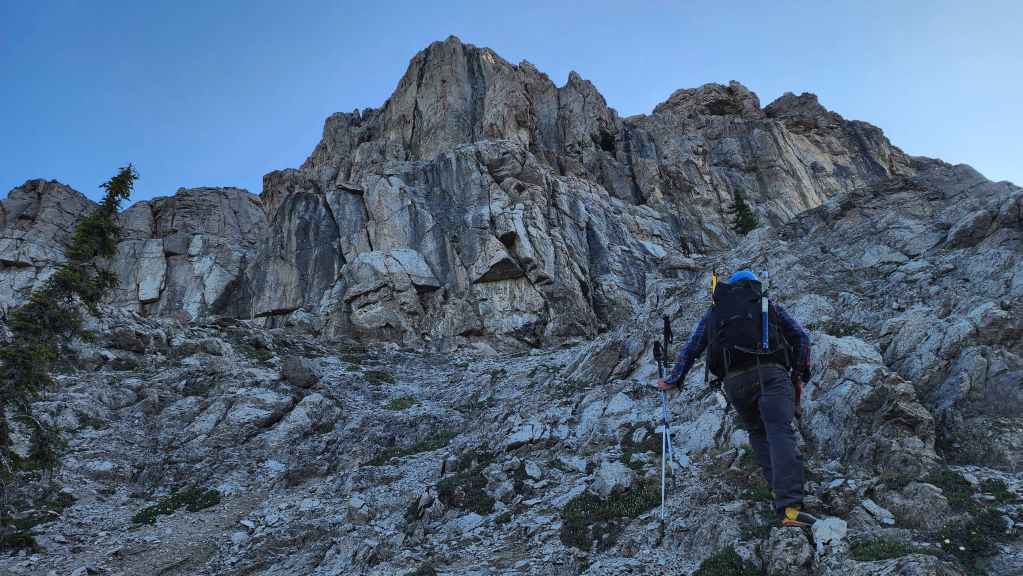
Arriving at the cliffs above the west shoulder of Matkin.
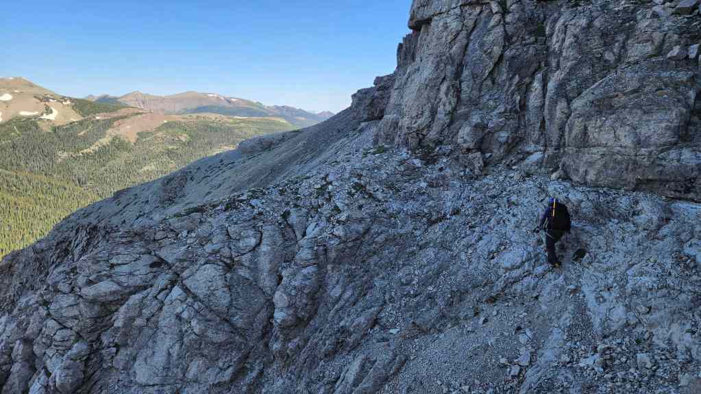
Traversing the base at the beginning of the shoulder is where we encountered brief sections of moderate scrambling.

Looking back, we noticed a cairn that marks the spot where Cornelius’ route emerges onto the shoulder.
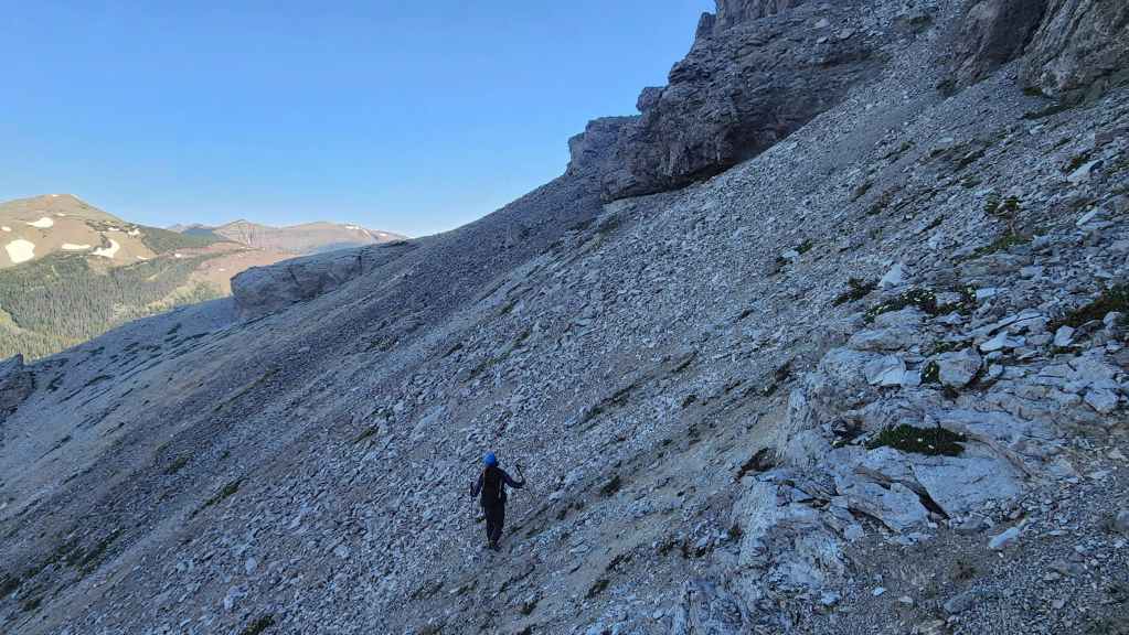
Once past the short traverse, the rest of the shoulder was easy.

Another look back.
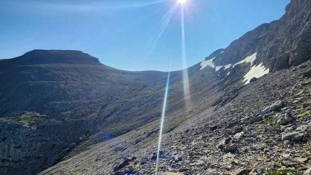
The view along the drainage after rounding the corner. The summit is not visible as it is behind the cliffs on the right.
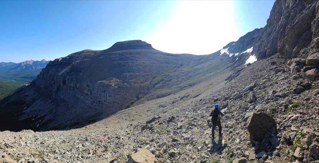
A pano of the previous photo.
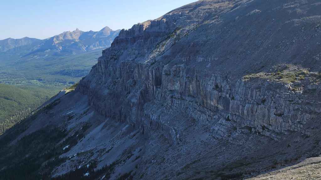
More impressive cliffs at the base of Matkin’s outlier.
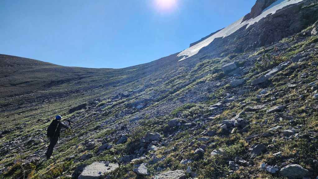
We stayed high on the side of the drainage to avoid losing elevation. On the way back, we’d stay even higher.

Looking back at our progress since leaving the shoulder (left of centre).

I take some photos of the very steep snow slope below the summit. Thankfully, we could easily avoid it! (Photo by Brad Wolcott)
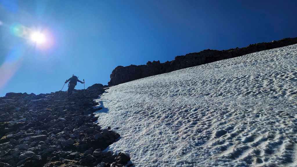
From the col with the outlier, it becomes a steep hike over rubble to get to the summit.
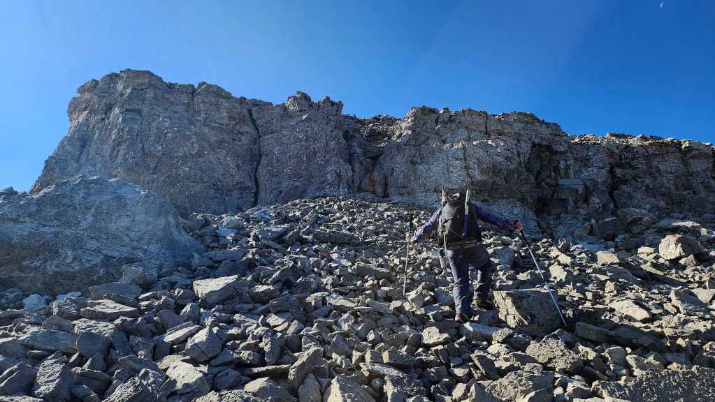
Arriving at a cliff band above the snow slope.
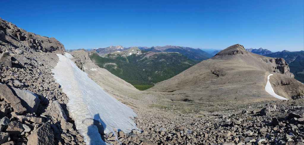
A pano looking back.
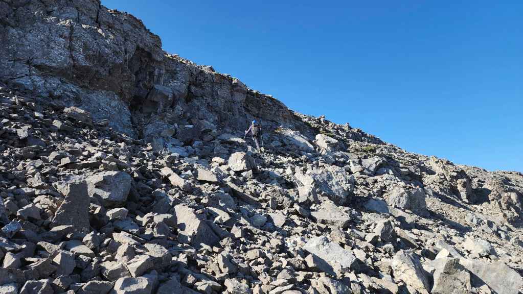
Brad searches for a way past the cliff band.

A brief traverse brought us to an easy weakness.
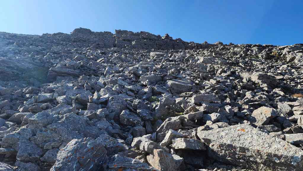
The final stretch before reaching the summit. Many of these rock are loose, so we had to be careful, especially on descent.
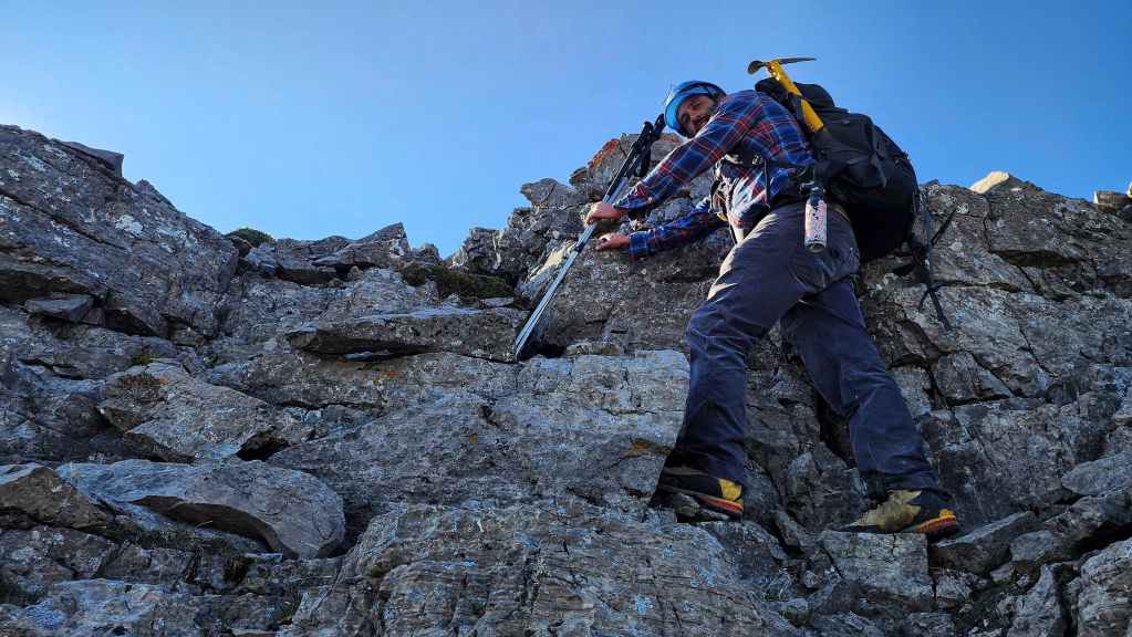
Brad makes the easy scramble onto the ridge.

The summit is an easy hike from here!

The summit of Mount Matkin (2410 m). For reference, from our campsite to the summit it took us 1 hour and 45 minutes over 2.6 km (444 m elevation gain).
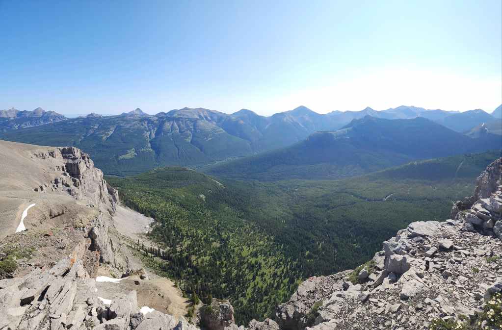
A pano to the east…

And then one to the southeast.

Gazing to the south…

And then to the west.

Where we were yesterday: the summit of Font Mountain.

Looking west at Jutland Mountain.
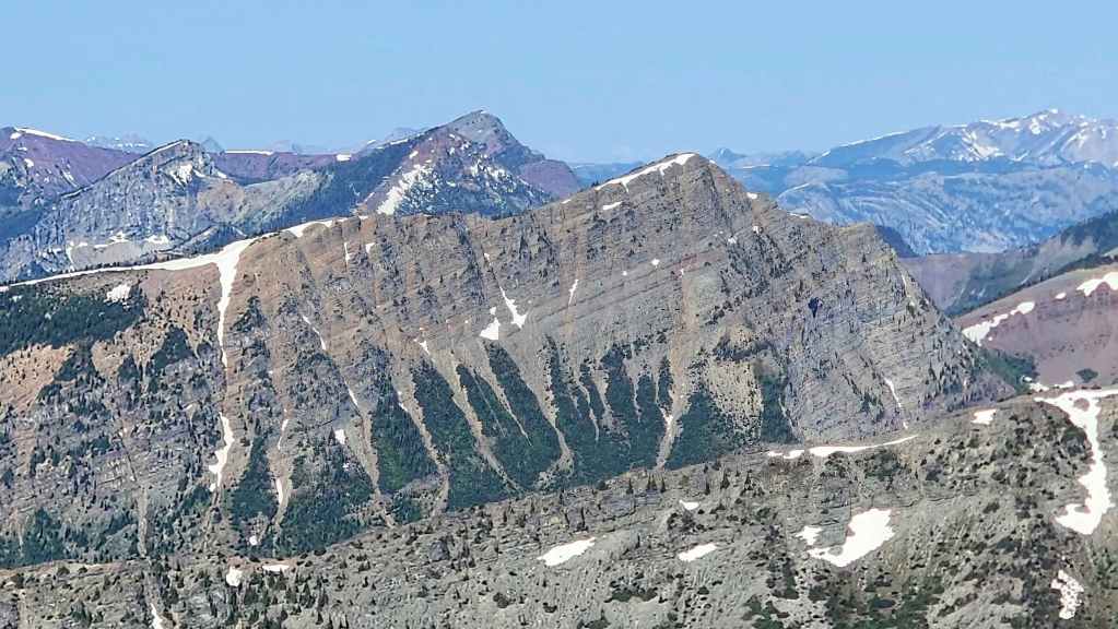
A closer look at La Coulotte Ridge.

Two peaks that I hope to get to in the near future: Sunkist Peak (left) and Commerce Peak (far right).
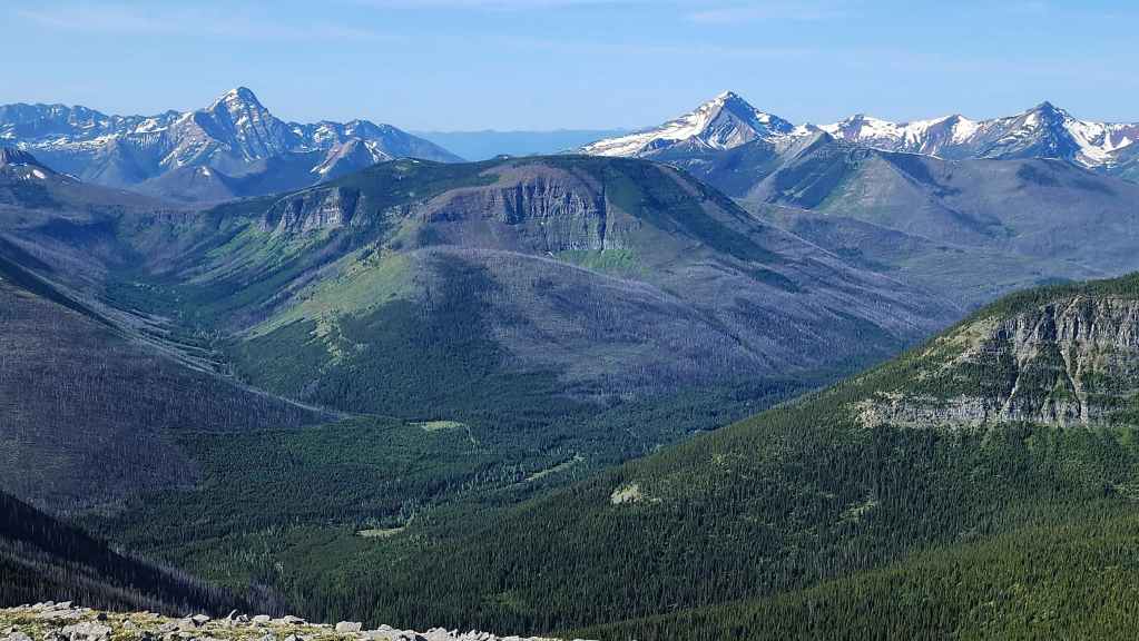
The view towards Starvation Peak (left) and Kenow Mountain (right).

A closer look at Starvation Peak.
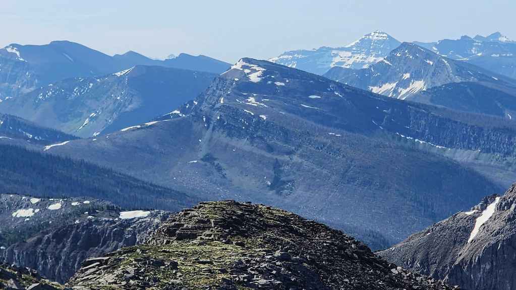
Kishinena Peak (right of centre) and Sage Pass (far left).
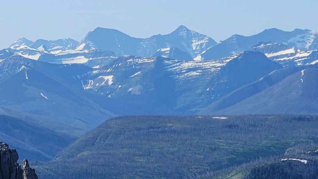
Mount Carter (left of centre) and Rainbow Peak (right of centre). In front of it are Mount Ashman (far right), and “Bennett Peak” (far left)

“Sage Senior” (foreground) with “Kootenai Brown Peak” (middle distance far left), Piinaquiium / Ahkoinimahstakoo (Mount Blakiston) (left) and Festubert Mountain (far right)

Gazing northeast and across the valley at Victoria Peak (far left) and Victoria Ridge (far right).

A closer look at Victoria Ridge (centre).

And now a closer look at Victoria Peak (centre).
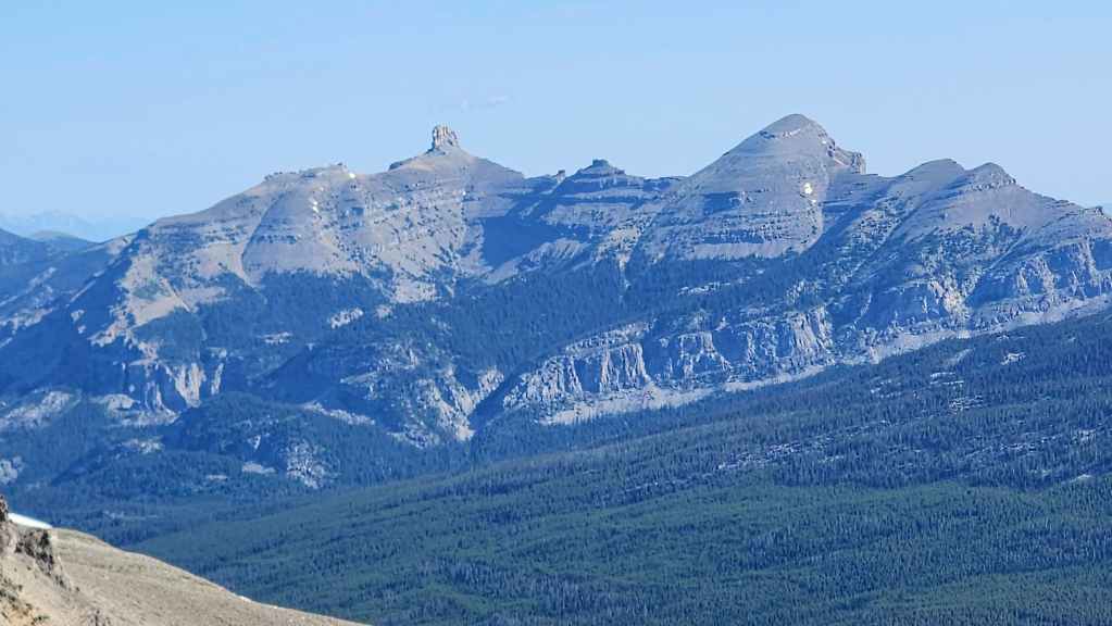
Castle Peak (left of centre) and Windsor Mountain (right).

There are some beautiful alpine meadows beneath the summit.
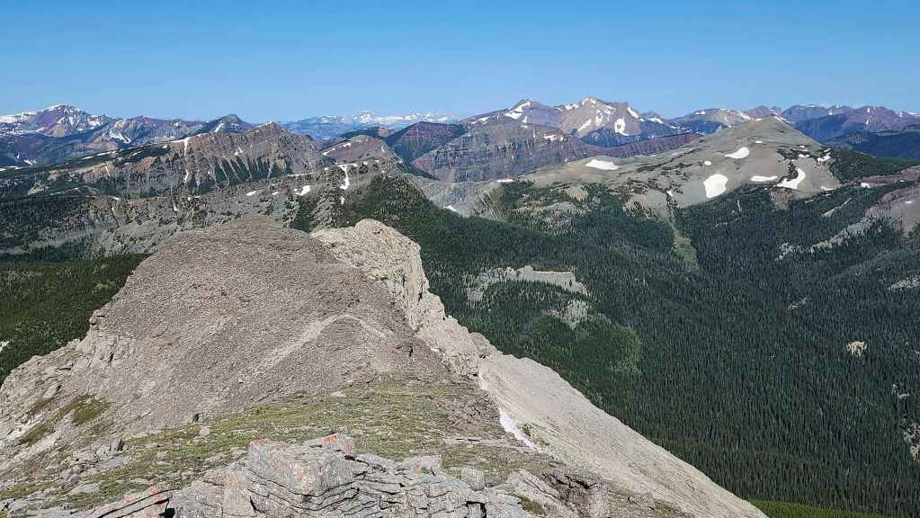
Another view to the west at La Coulotte Ridge (left), La Coulotte Peak (right of centre), and Jutland Mountain (far right). Behind La Coulotte Peak are Scarpe Mountain and “Jake Smith Peak”.

The many peaks of Paahtómahksikimi (Waterton National Park).
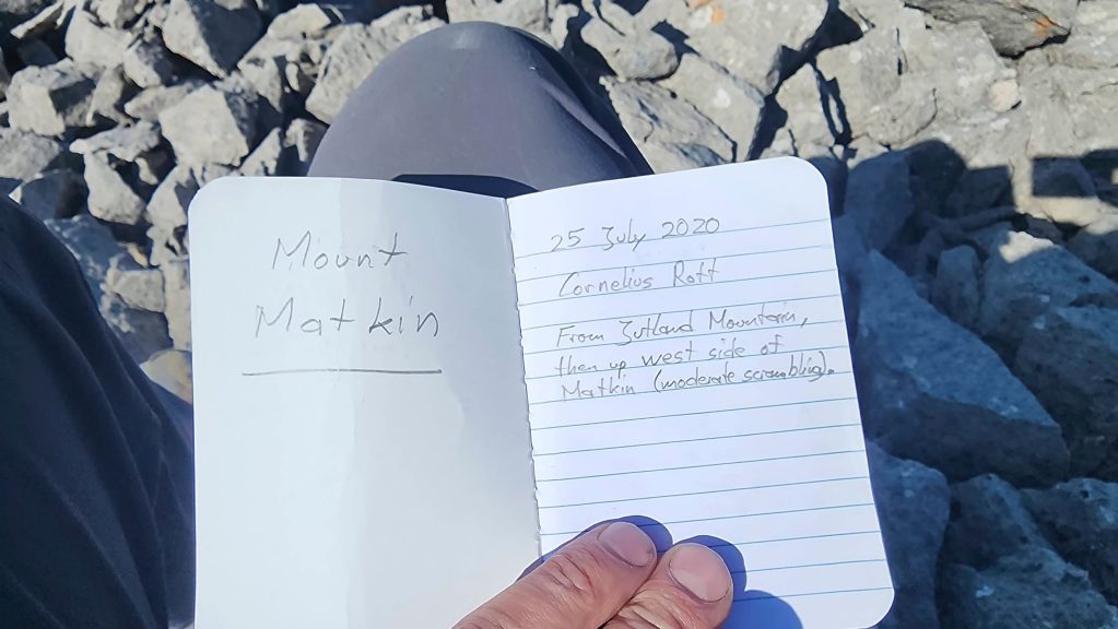
We were surprised to see that we were only the fifth party to visit Matkin since 2020 and the first since 2023.

The second of our two primary objectives is complete. Mission accomplished!

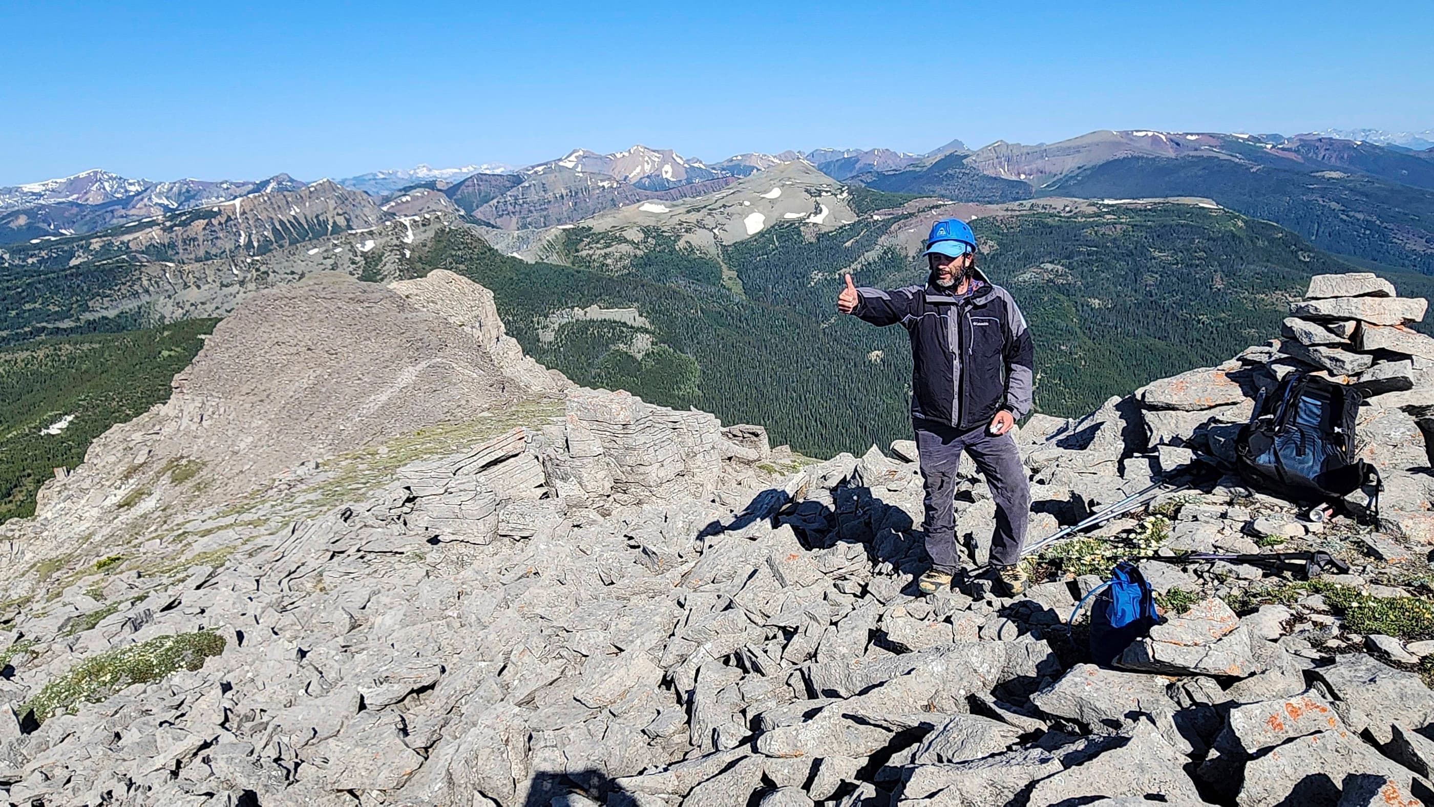
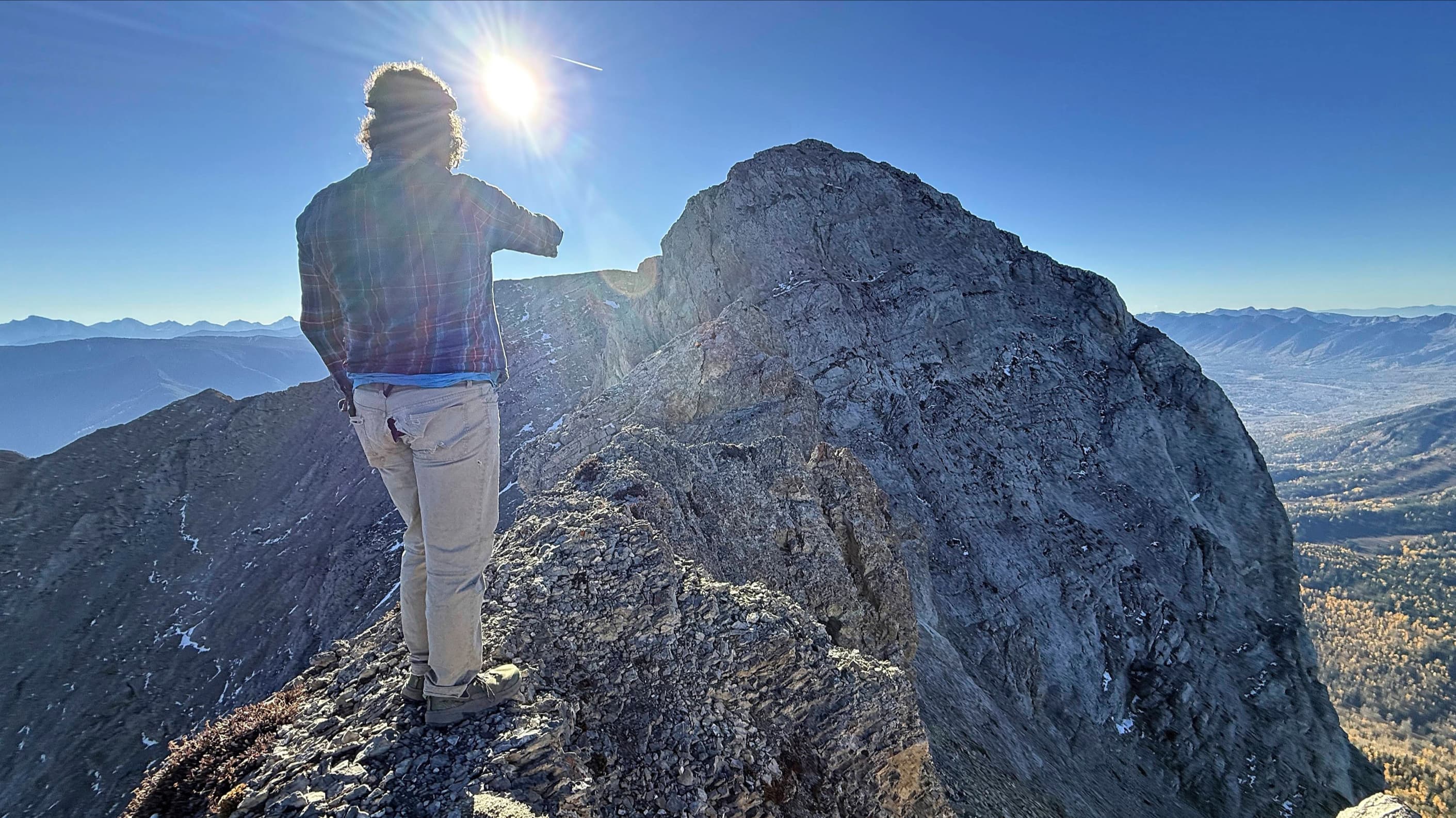
Me on the summit. (Photo by Brad Wolcott)
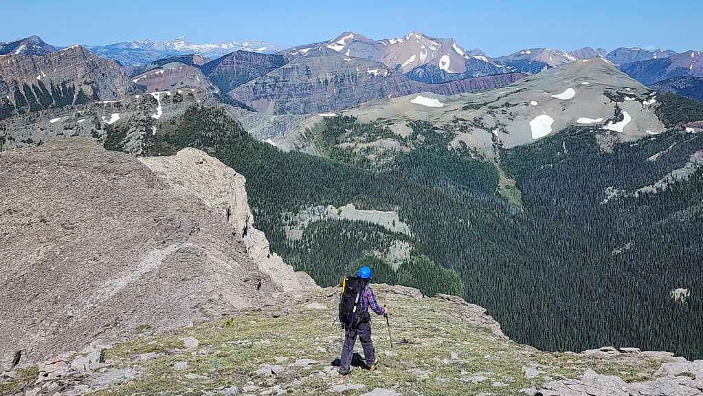
Time to head back.

Carefully descending the rubble.
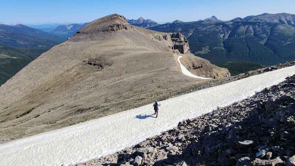
Brad arrives on top of the snow slope.
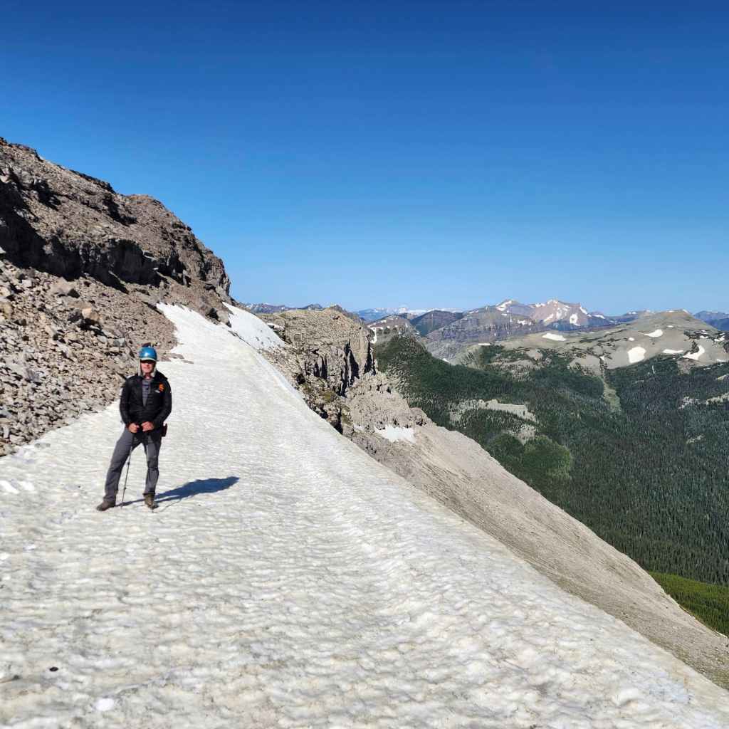
I soon join him. (Photo by Brad Wolcott)
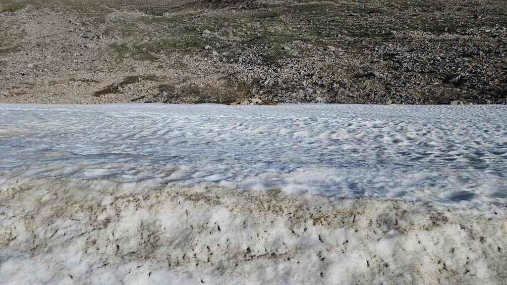
The view over the edge of the snow slope. Yikes! 😬
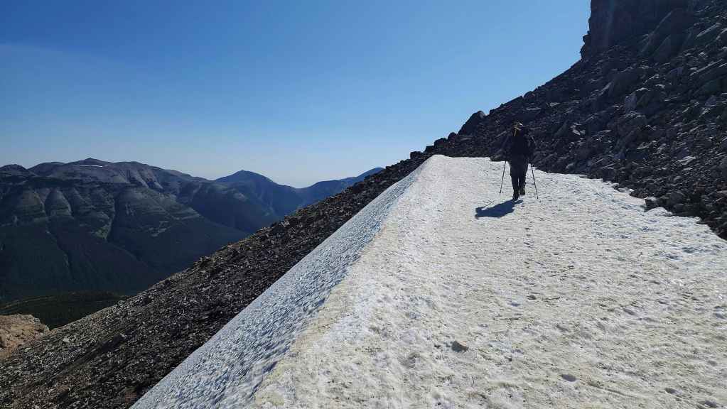
Retracing our route back to the drainage.
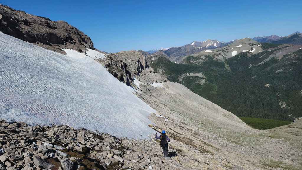
To avoid losing elevation we will traverse even closer to the cliffs than we did on the way up.

A pano of the previous photo.

It was a surprisingly benign traverse.
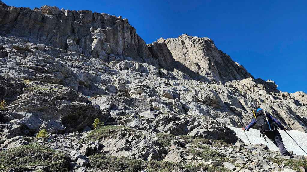
The cliffs above us.
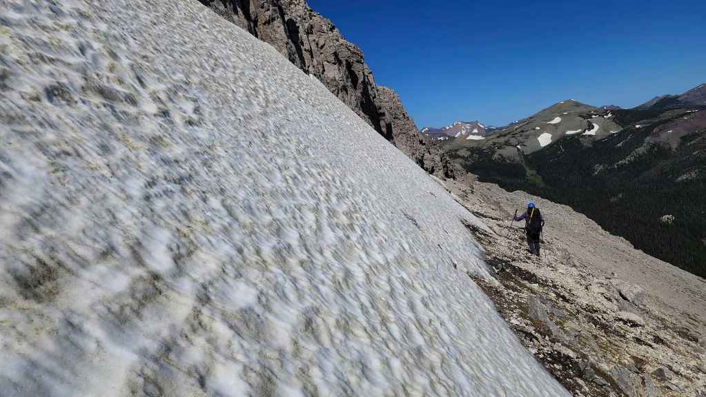
Traversing beneath another snow slope.

The impressive cliffs on the other side of the drainage.
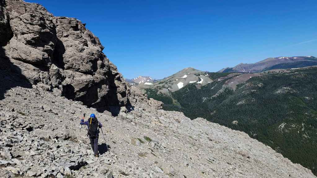
It didn’t take us too long to reach the shoulder.
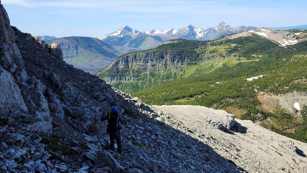
Back on the west side of the mountain.

We will pass beneath this towering cliff.
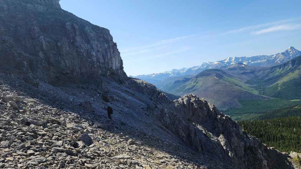
Easy travel in this section.

Another look at the cliff above us.
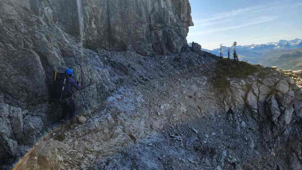
Instead of descending using Cornelius’ route, we will retrace our traverse…
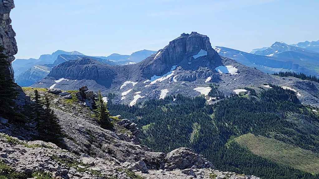
Back to where we gained the shoulder.
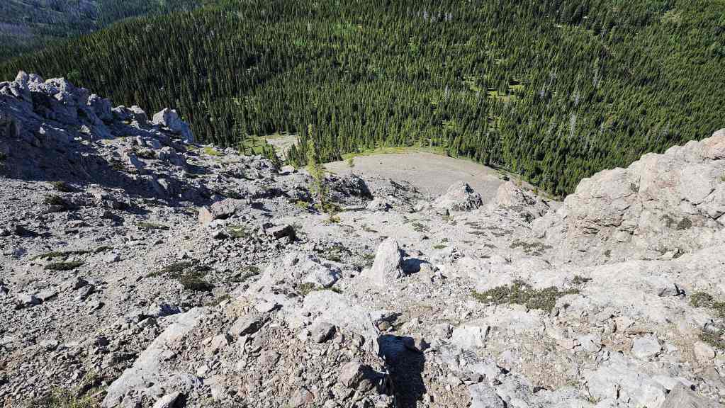
However, we will descend this slope to the scree below.

The view across to La Coulotte Ridge (far right).

A final look at Jutland Mountain (centre).

This was an okay route down…
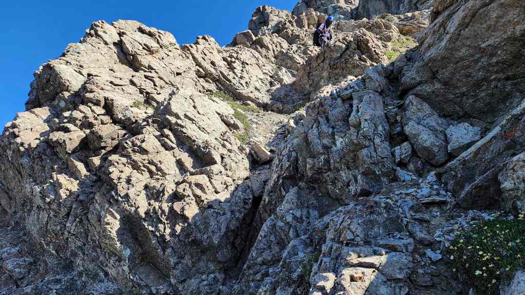
Until we got to a small drop off.
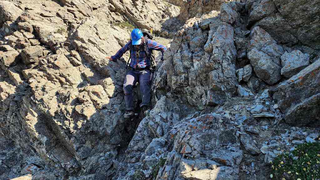
Brad skillfully down-climbs the drop off.

Now on the scree slope and looking up at the cairn (centre) we noted earlier.

A closer look at the cairn. Heading up to climber’s left of it would probably eliminate any real scrambling.
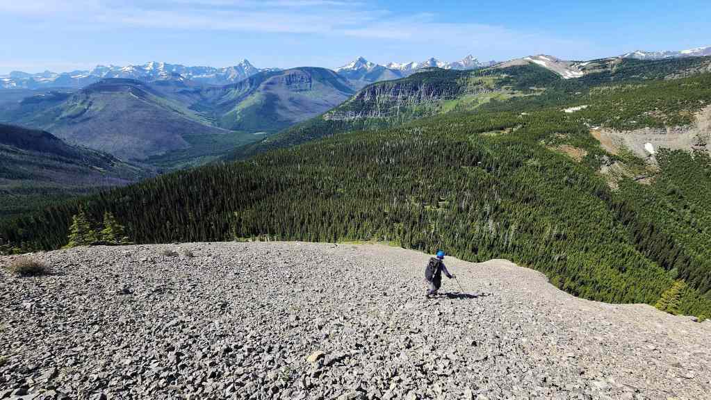
Descending the scree slope used by Cornelius.

Glancing over to Font.

Back in the trees…
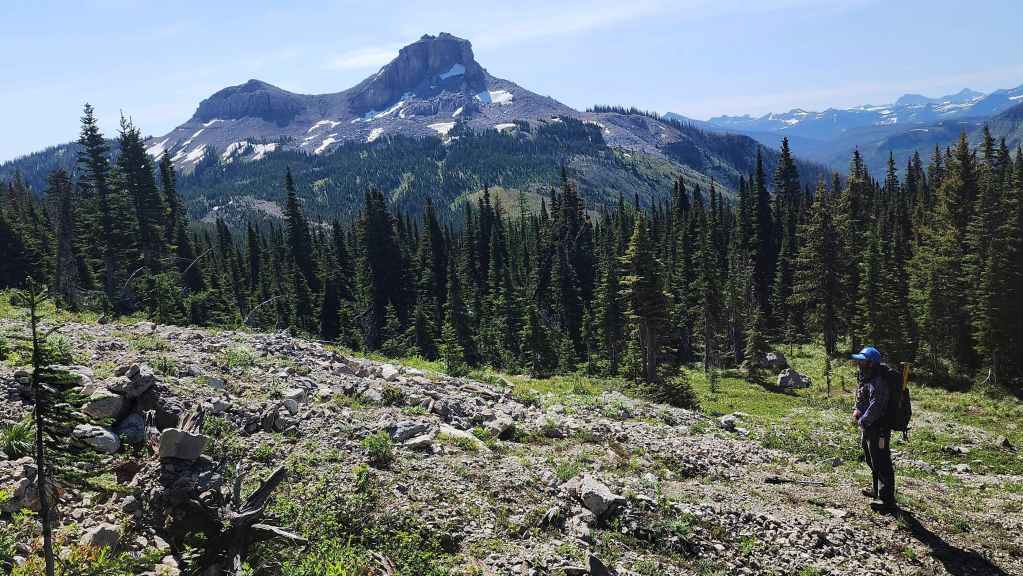
And now on easy terrain.

Another look at the impressive cliffs of Matkin.
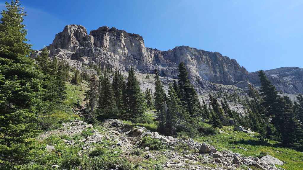
More of the same.

Making the quick hike back.
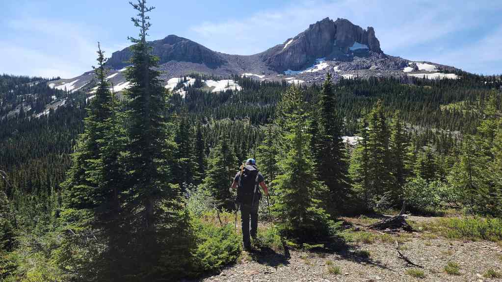
Heading towards our campsite.

Looking at Matkin from our campsite.
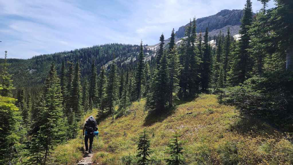
With our packs ready to go, all we had to do was eat a quick lunch and refill our water, before setting off for home.
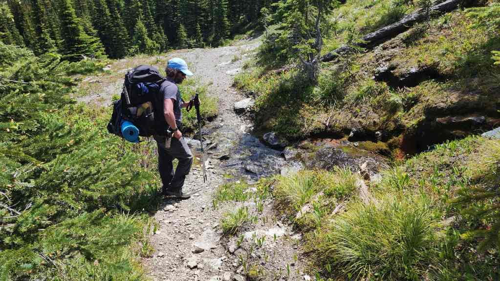
Brad stops to look at the small stream from our campsite.

In a short distance it had turned into an impressive creek. (Photo by Brad Wolcott)

The GDT skirts the east side of Font, losing elevation before it comes to a fork. If you weren’t paying attention, it might be possible to miss the right fork and keep following the trail further towards the valley. This would mean turning around and hiking back up to this junction. Here, Brad has just turned onto the right fork which is the GDT. Note the small sign on the tree indicating that this is the GDT.
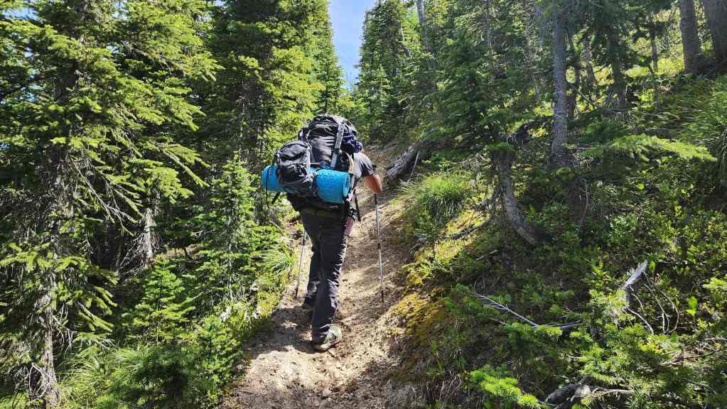
After losing elevation to the fork, the trail then begins to climb.

Pausing to look back at Matkin.
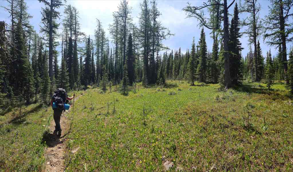
Passing through an open meadow.

We could now see the ridge we followed to Font.
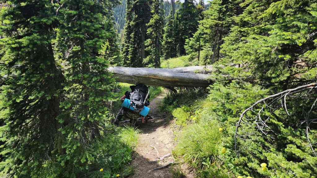
Brad demonstrates his impressive limbo skills. 😂

Arriving in the lovely meadows surrounding Font Creek. (Photo by Brad Wolcott)

The summit of Font from the meadow.

The campsite at Font Creek.
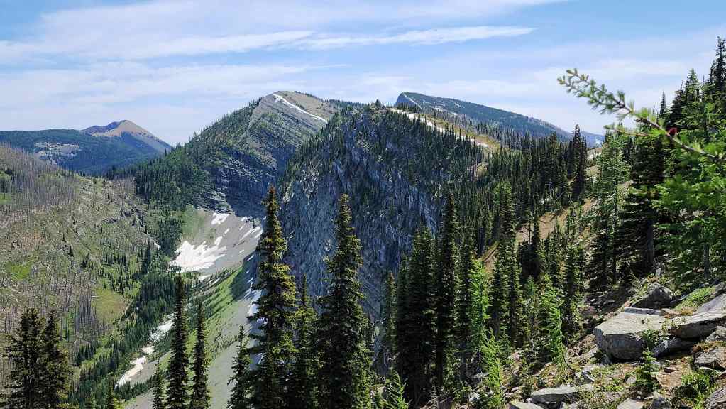
Starting back along the ridge.
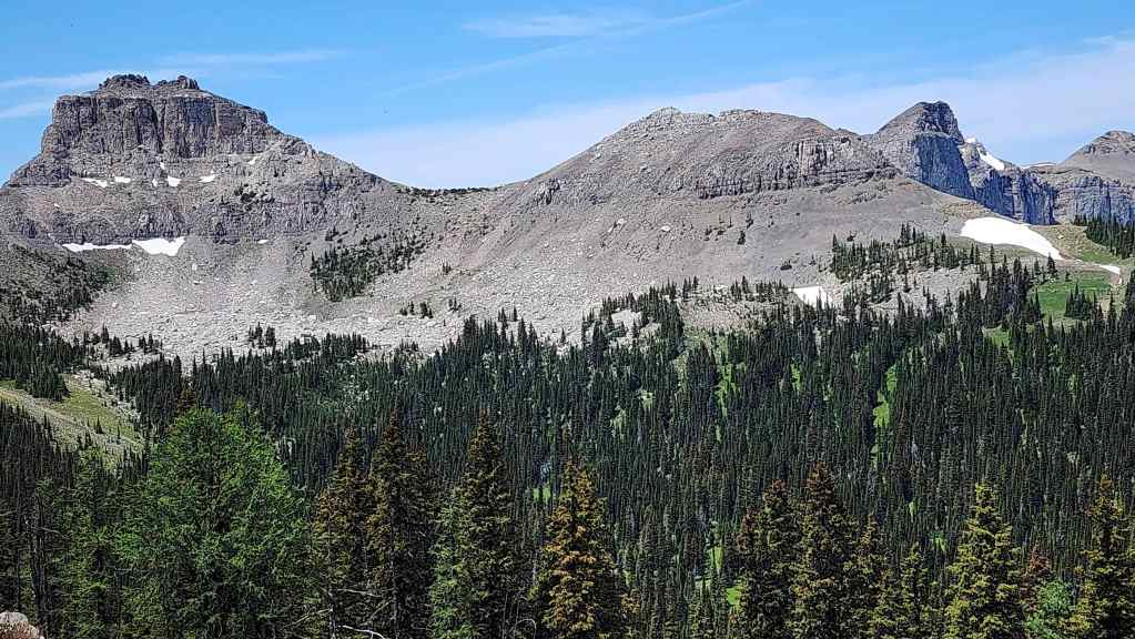
Glancing back at Font and the summit of Matkin (far right).
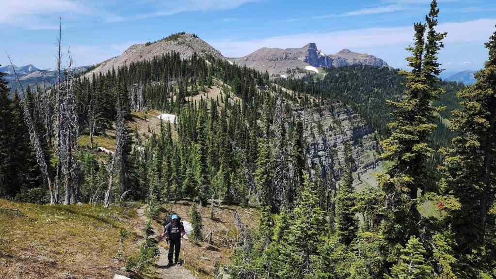
It will be mostly uphill from here to “Sage Senior”. However, the elevation gains are not burdensome due to good trail design.

Entering the canyon-like depression along the ridge.

Inside the depression.
Brad stops to cool himself off.
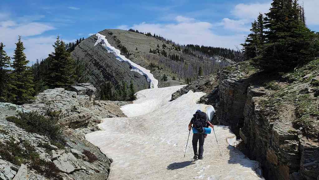
Heading towards the next high point.
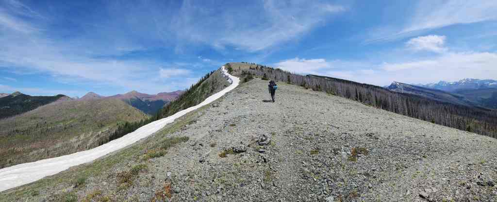
Thankfully, there was a slight breeze to keep us somewhat cool.
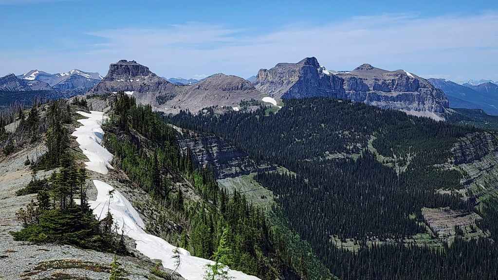
One last look at Font and Matkin.
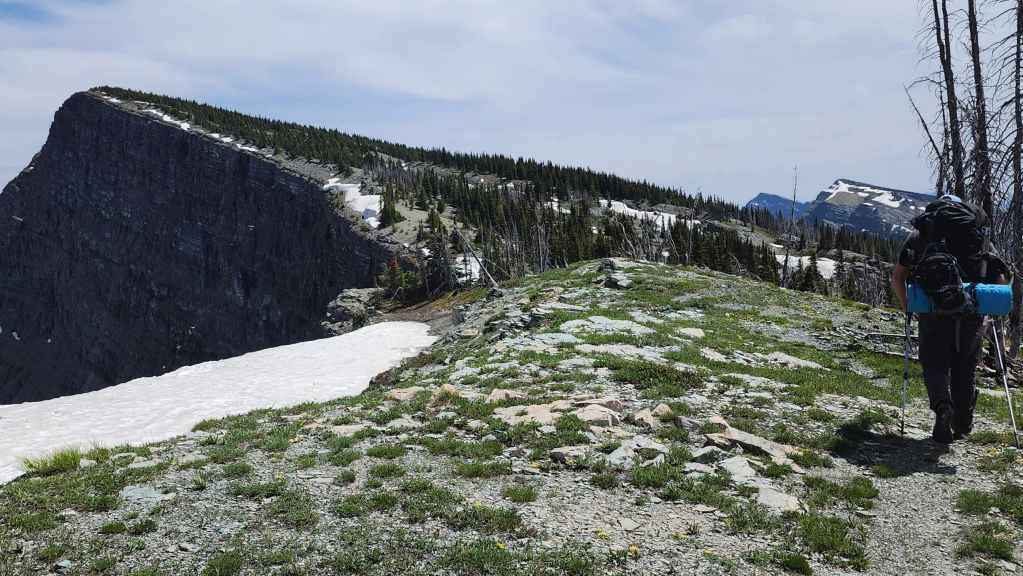
I was not looking forward to gaining the elevation to “Sage Senior”.
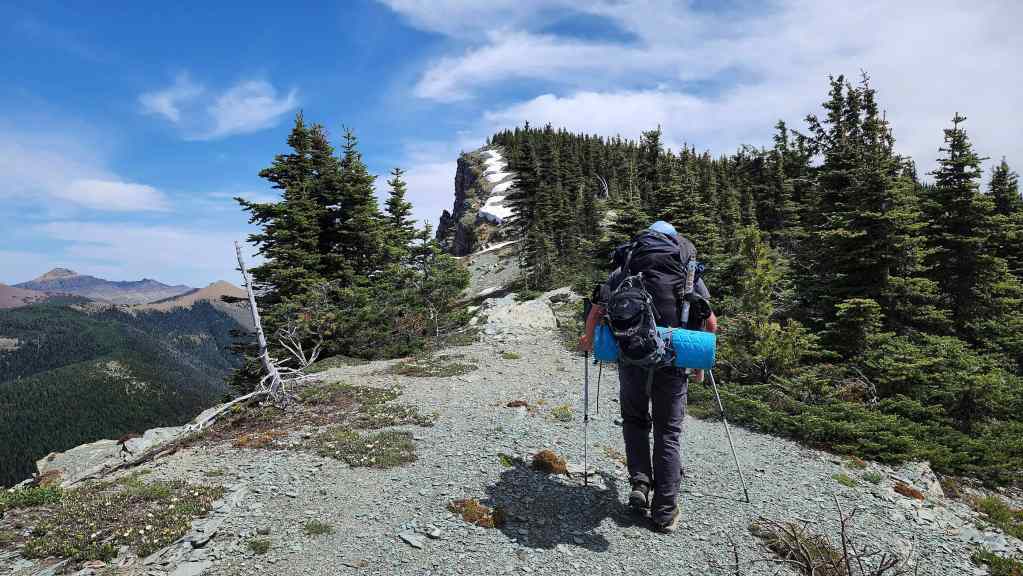
Starting up “Sage Senior”.
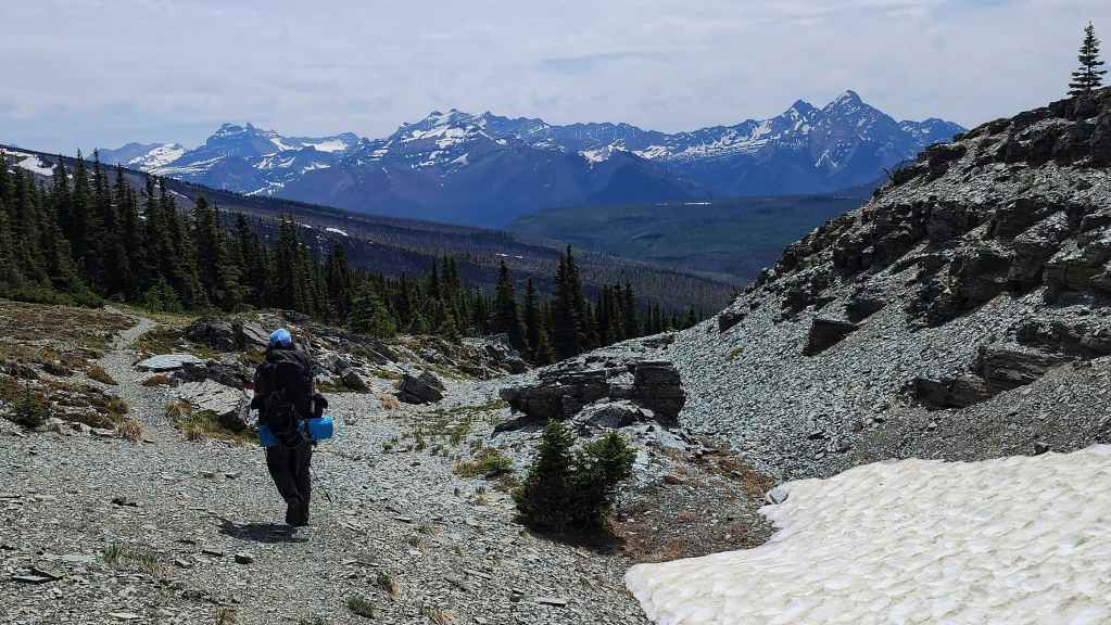
After a small elevation gain, the GDT bypasses “Sage Senior”. Whew!
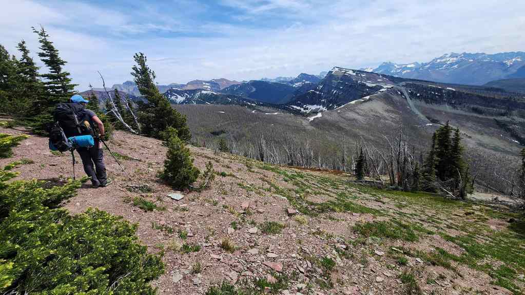
Almost back at Sage Pass.

Descending to the col with “Sage Pass Peak”.
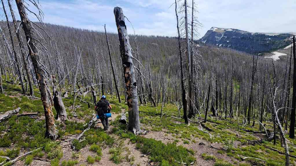
Bypassing “Sage Pass Peak” by sticking to the trail.
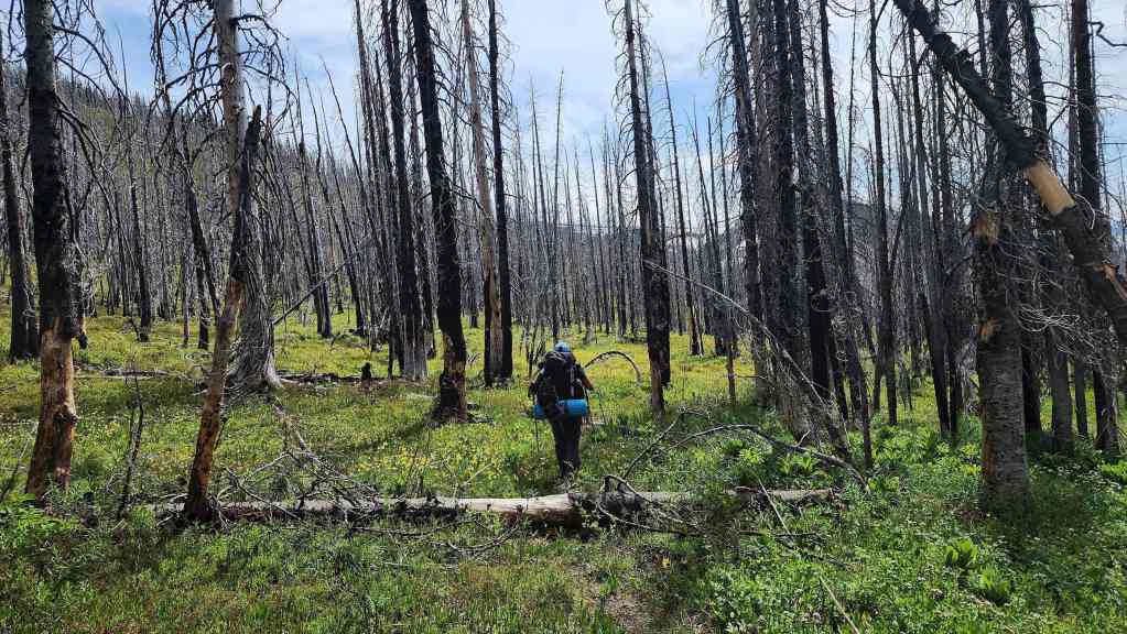
The GDT passes through the remnants of the 2017 Kenow Wildfire…
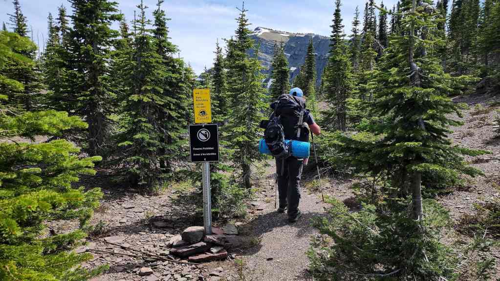
Before emerging onto Sage Pass. For reference, it took us 3 hours and 20 minutes to cover the ~9.1 km (505 m elevation gain; 417 elevation loss) distance from our campsite to Sage Pass.
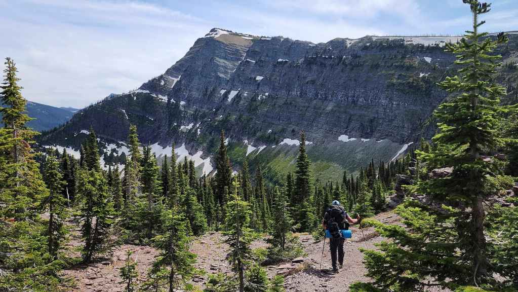
Heading down Sage Pass trail. It’s all downhill from here! 🙂
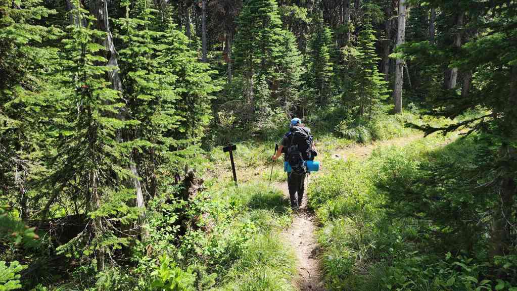
Arriving at the junction with the Twin Lakes trail.

Making quick time along the Twin Lakes trail.
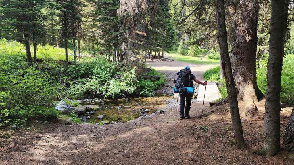
Thanks the stars above! We finally arrive at the location of our secret weapon: our bikes.

It will be a quick trip over the final ~8.5 km. 😀

Arriving back at Red Rock Canyon 5 hours and 10 minutes over a distance of ~22 km (581 m elevation gain; 1092 m elevation loss) from our campsite. This was a stellar trip into a very scenic area. Our total distance travelled over the two-day adventure came in at ~51 km with a total elevation gain of 2605 m. A HUGE thanks to Brad for his company and for Andy, Vern, and Cornelius for providing all the information. 🙂


Leave a Reply