
⚠️ Hiking and scrambling are inherently dangerous activities. Please read my Disclaimer. ⚠️
In February of 2016, Jeff and I tried to snowshoe up Mount Taylor but were thwarted a mere 420m from the summit due to avalanche-like conditions. When we returned to complete the mountain in October of that same year, we encountered miserable weather that forced us to change our plans and summit Clubs Peak and Spades Peak instead. Since then, I’ve thought of returning several times, but always seemed to end up choosing other destinations. In fact, I almost returned this summer to complete not only Taylor, but also the long walk along Michel Ridge to the summit of Michel Head (2335 m), but it never happened.
Yesterday, when Andrew Nugara and I were trying to match possible destinations with a sketchy forecast, I once again found myself thinking of Mount Taylor. When I suggested it to him, he enthusiastically agreed even though he’d never heard of it before – and to be fair, not many people have. Mount Taylor is the northernmost peak on the Taylor Range and is situated a little over 5 km to the north of the mining community of Corbin, B.C.. As a further point of reference, it is located directly to the west of Tent Mountain and though higher, it receives little attention from hikers.
As we made our way into the Crowsnest Pass, the weather looked eerily similar to last October, when Jeff and I were forced to change our plans. Dark, foreboding skies threw down a mix of rain and snow and Andrew and I began discussing backup destinations. However, we decided to press on and as soon as we crossed the Divide at Summit Lake, we were greeted with favourable skies and little to no wind. Soon we were hiking up the steep slopes of Mount Taylor and enjoying every minute of it! After taking in the views from the summit, we began to make the long ridge walk over to Michel Head. However, time was not on our side and we decided to descend the long, curved ridge located southeast of the summit – but not before making a thorough assessment of Michel Head – and agreeing to return sometime in the near future to summit it as well. All in all, it ended up being a fantastic day, with awesome company and amazing fall colours!

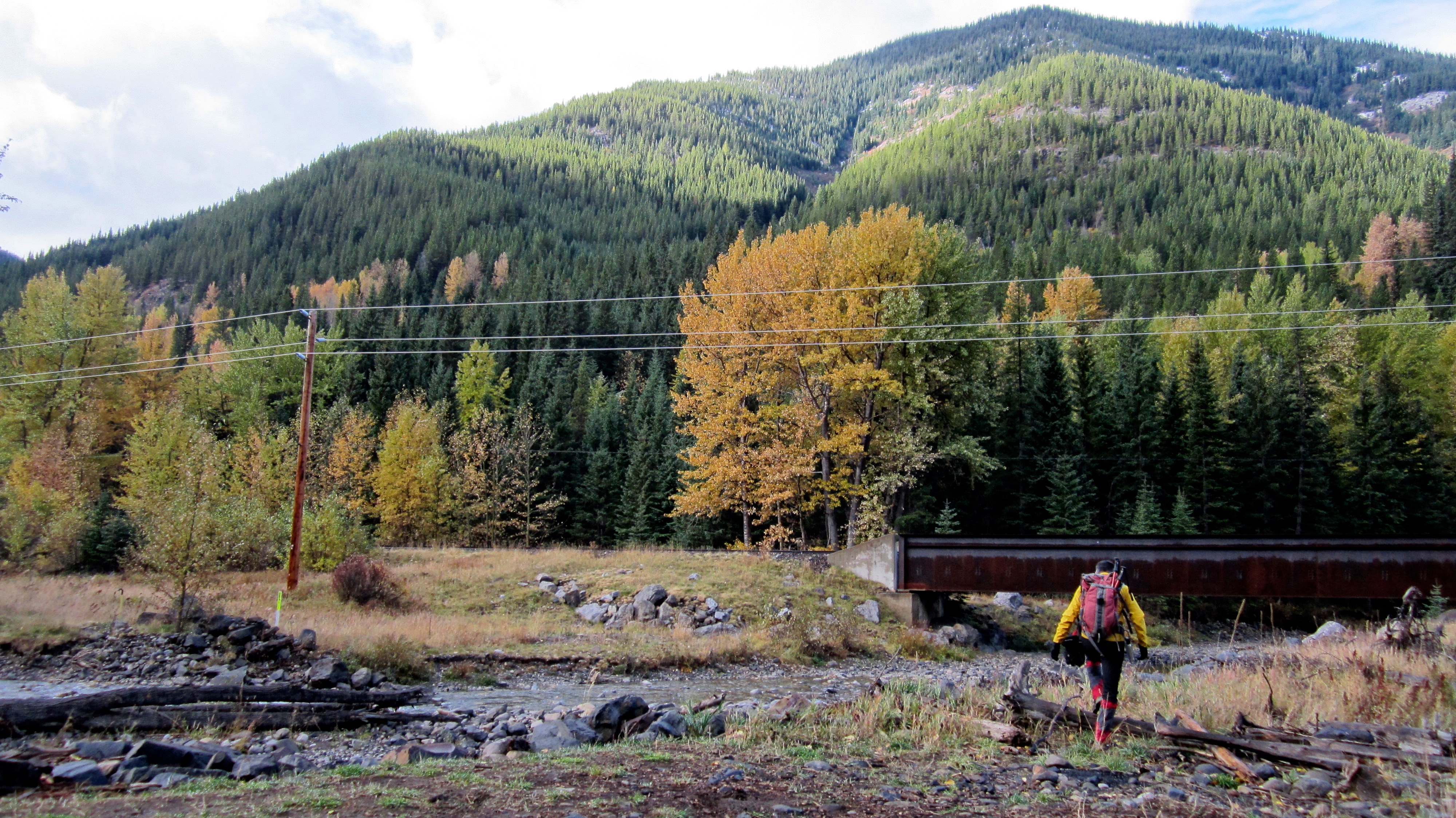
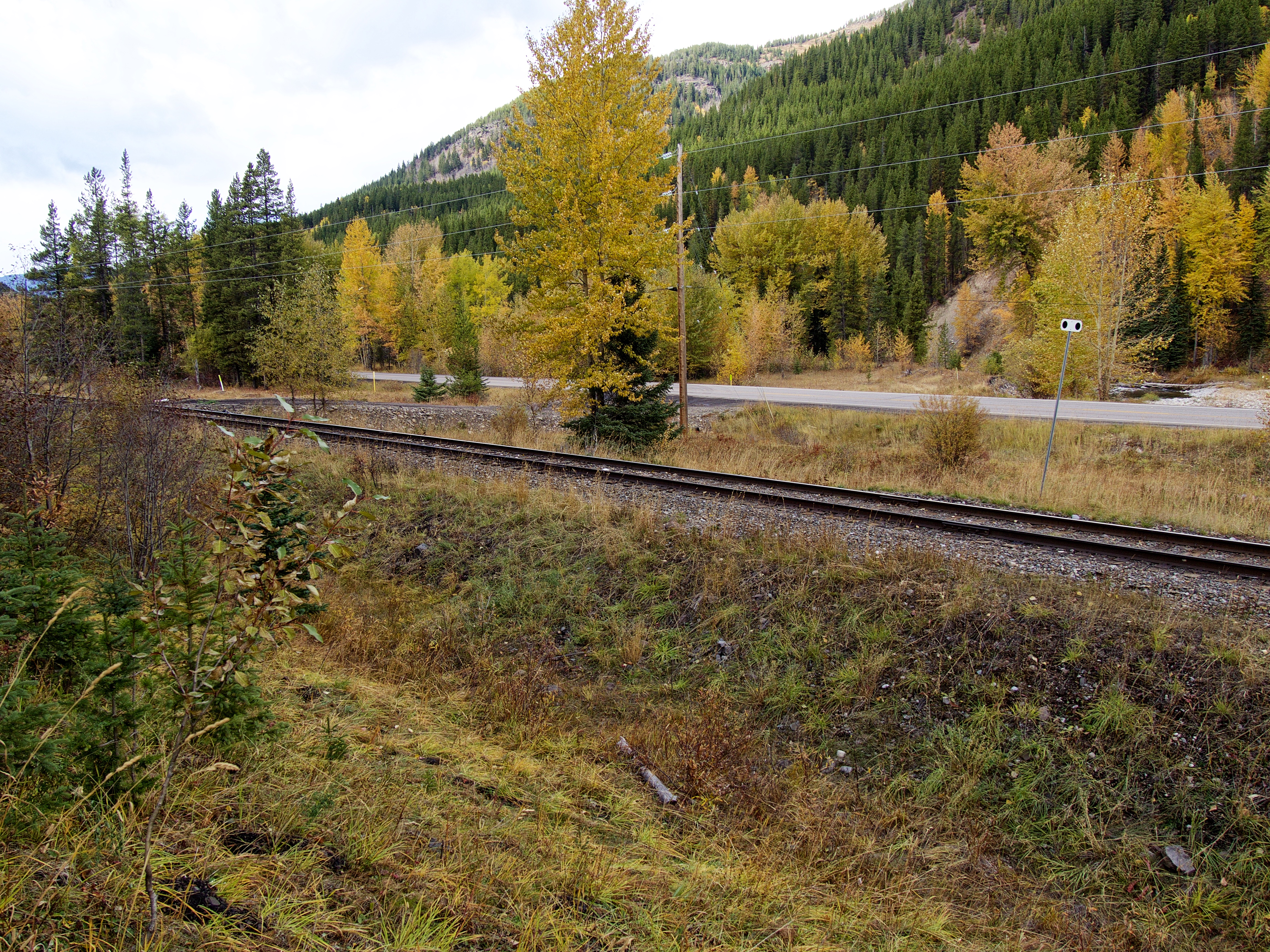
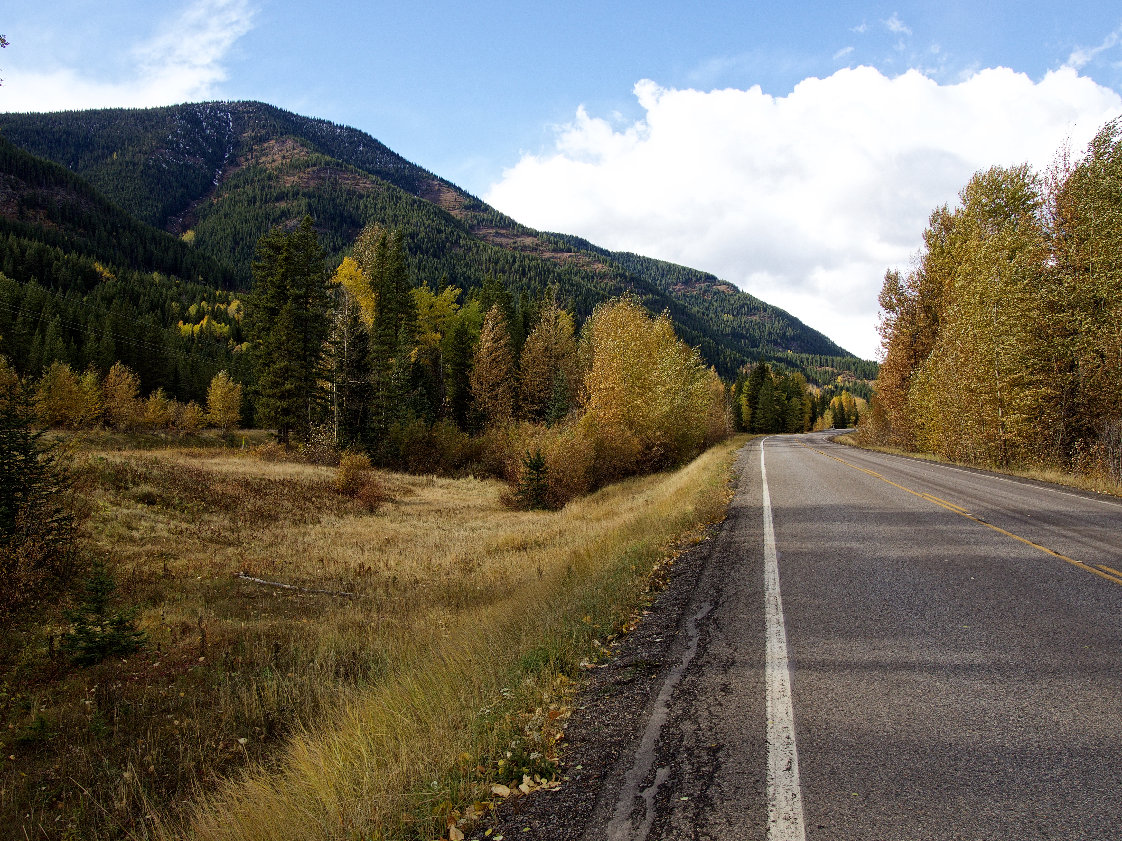
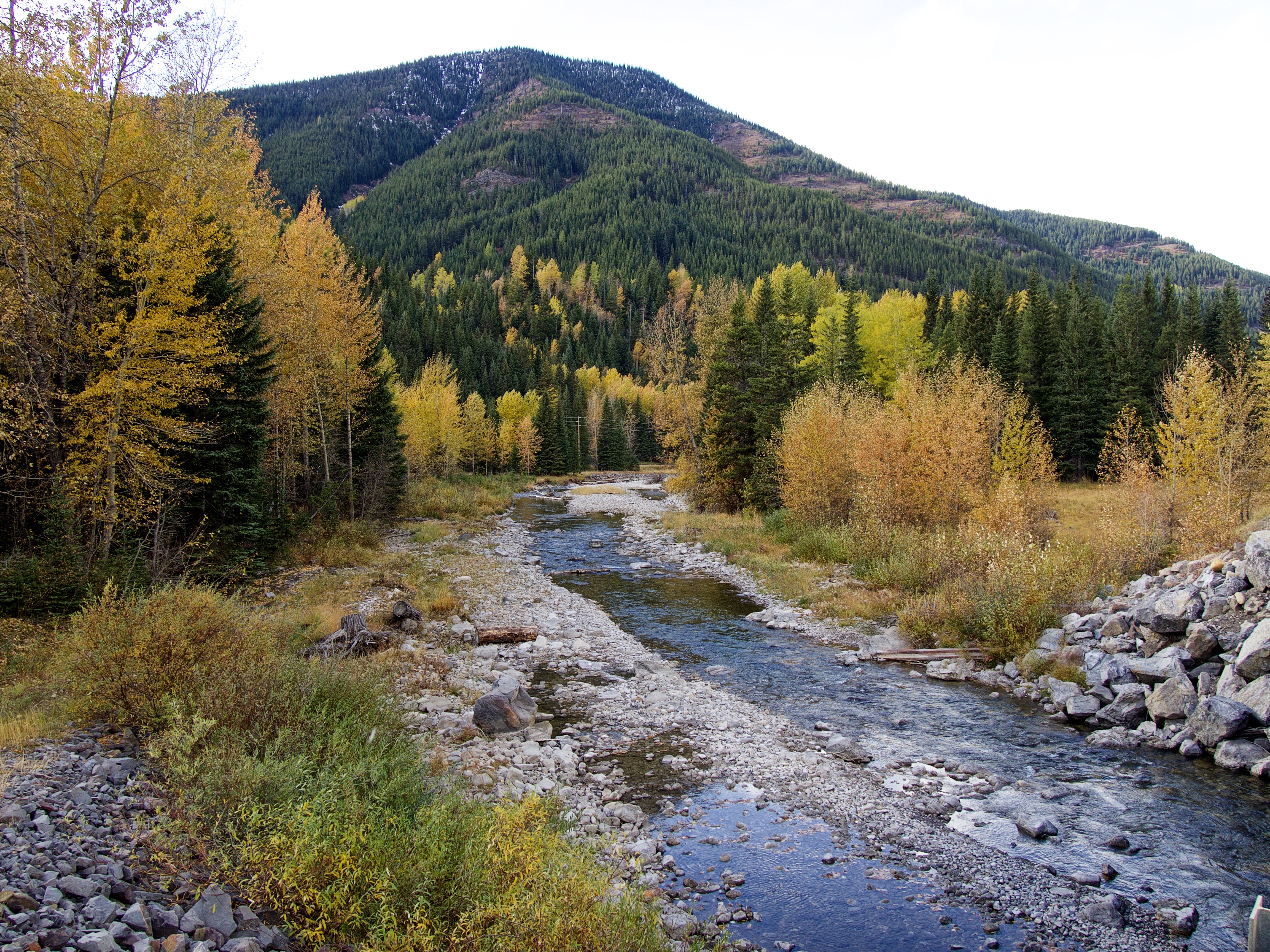
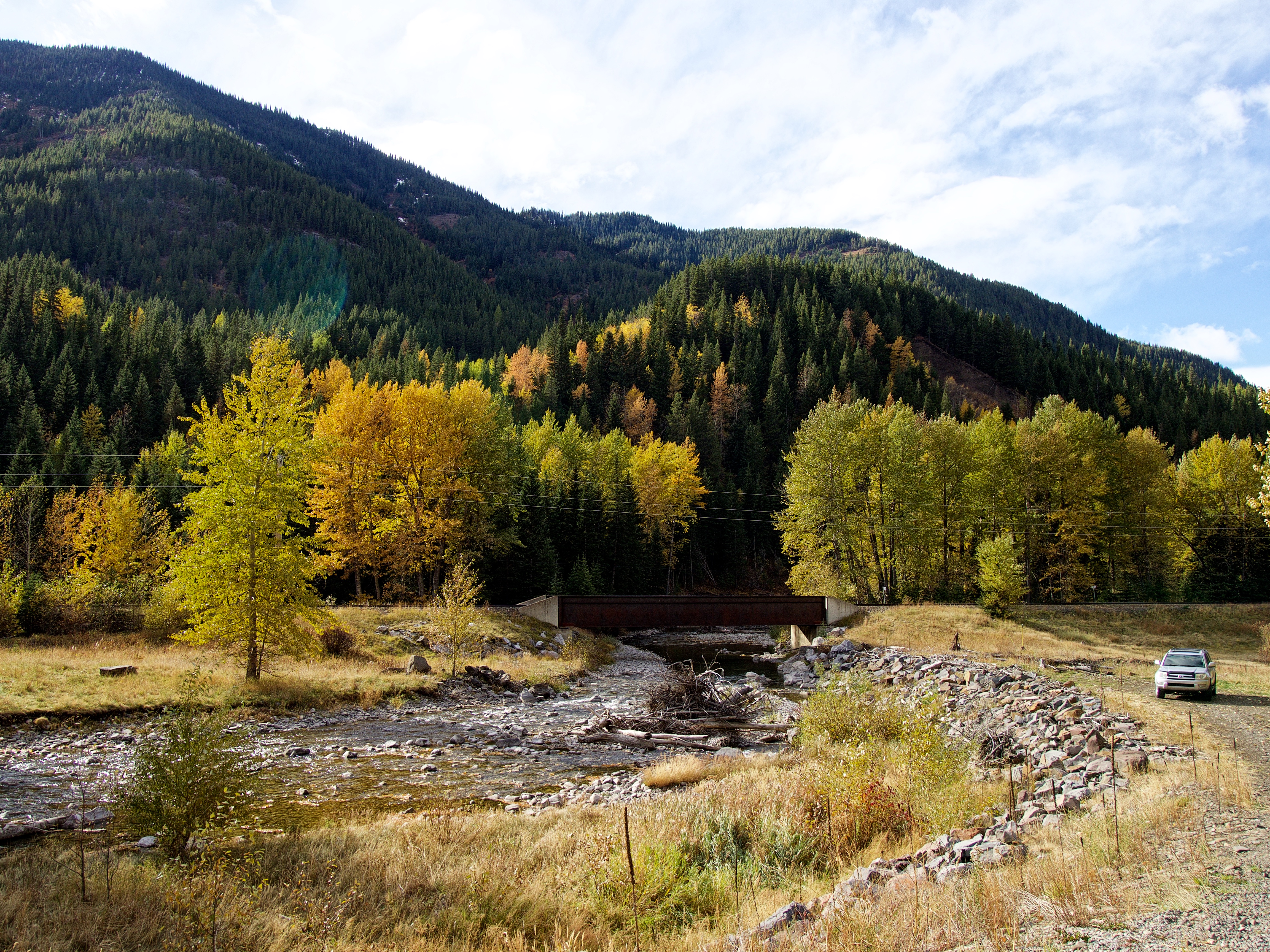
To get to Mount Taylor, we drove west through the Crowsnest Pass along Highway 3, until we came to the Corbin Road turnoff which is located ~8.6 km from the Alberta/B.C. border. From the turnoff, we then drove south on the Corbin Road for 16.5 km until we came to a small pullout beside a train bridge over Michel Creek. This is where we parked.
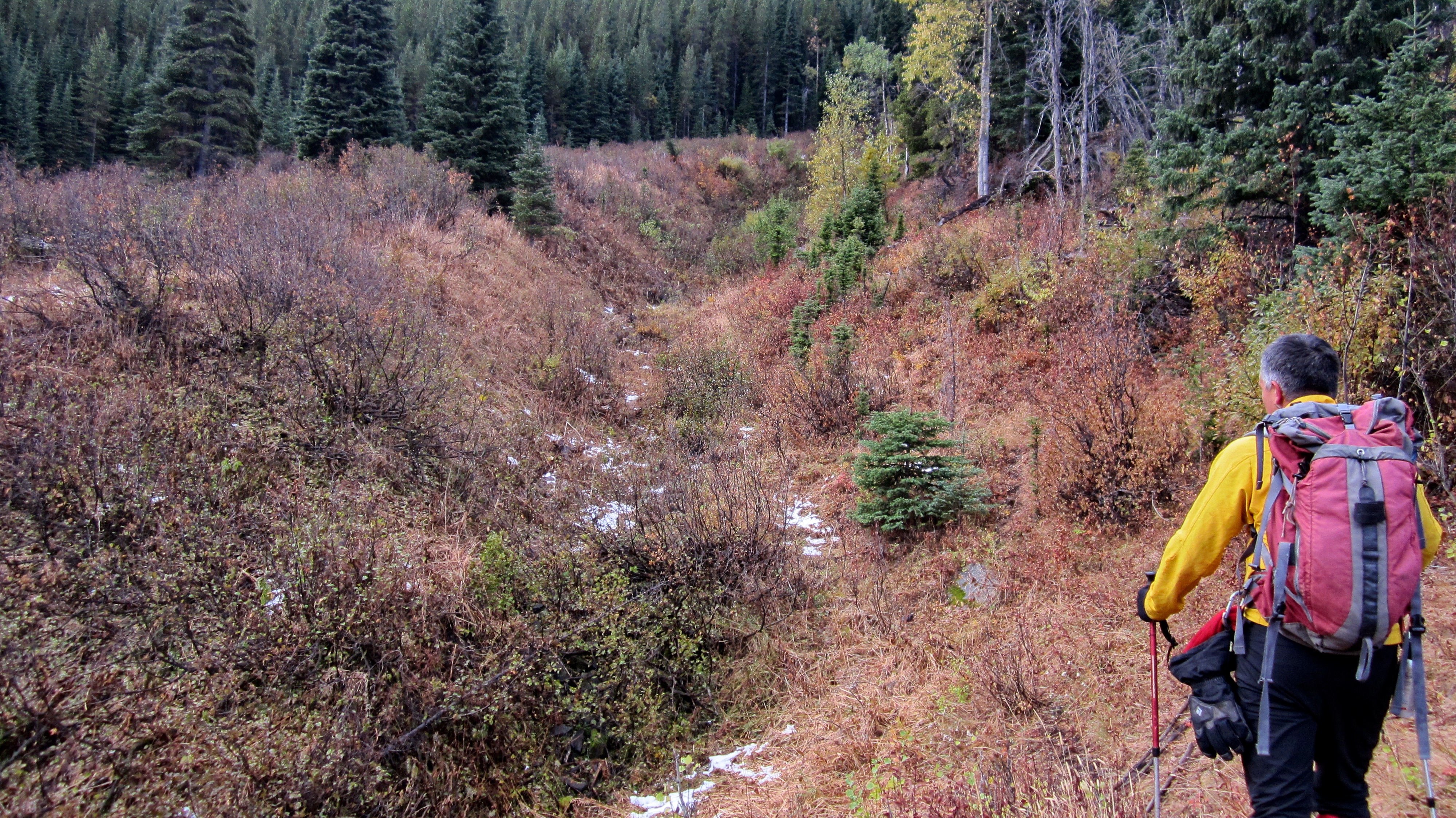
After crossing the creek, we headed south for ~140 m before coming to a clearing on our right. We crossed the clearing and climbed to the top of a small ridge at the base of a drainage that runs almost to the summit. Instead of entering the drainage, we followed a good animal trail through the woods on top of the ridge. We followed this for ~360 m before the trail itself entered the drainage. We bushwhacked along the trail inside the drainage for ~270 m before coming to a large rock wall. We then skirted this by ascending steep slopes to climber’s left.
Up to this point, we had been following my 2016 snowshoe route, however, here is where we would diverge. After bypassing the rock wall, we re-entered the drainage for a few minutes before heading up the steep bank on our right – all the way to the crest of the ridge that leads up just to the north of the summit. In 2016, we stuck to the ridge on the southeast side of the gully which led directly to the summit. I’m not sure if yesterday’s route was better, but it was definitely easier because we didn’t have to wade through deep snow! 🙂
From the drainage there were a number of animal trails that we could follow up the bank and then along the crest. Once on the summit ridge, it was only a ~ 250 m hike to reach the actual summit. Be warned though, that there is no let up from steep hiking until you reach the ridge crest. Indeed, even though the distance between my 4Runner and the summit was only ~2.79 km, it included an elevation gain of 820 m.
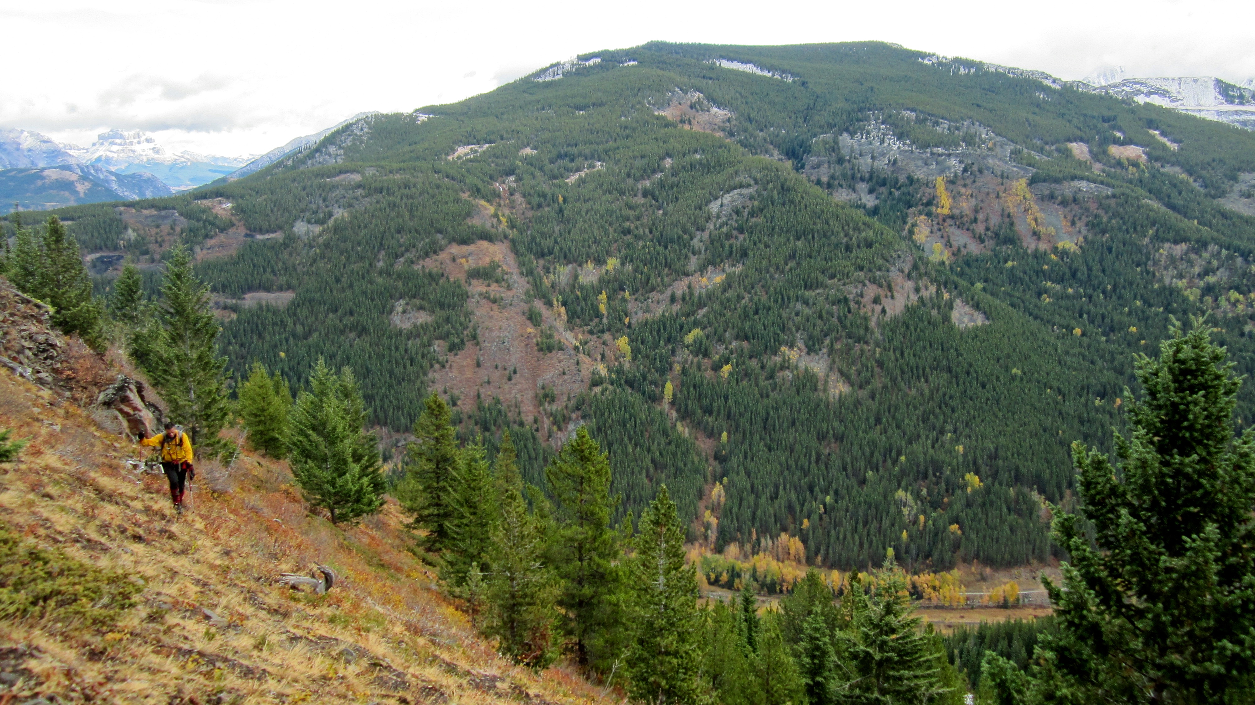
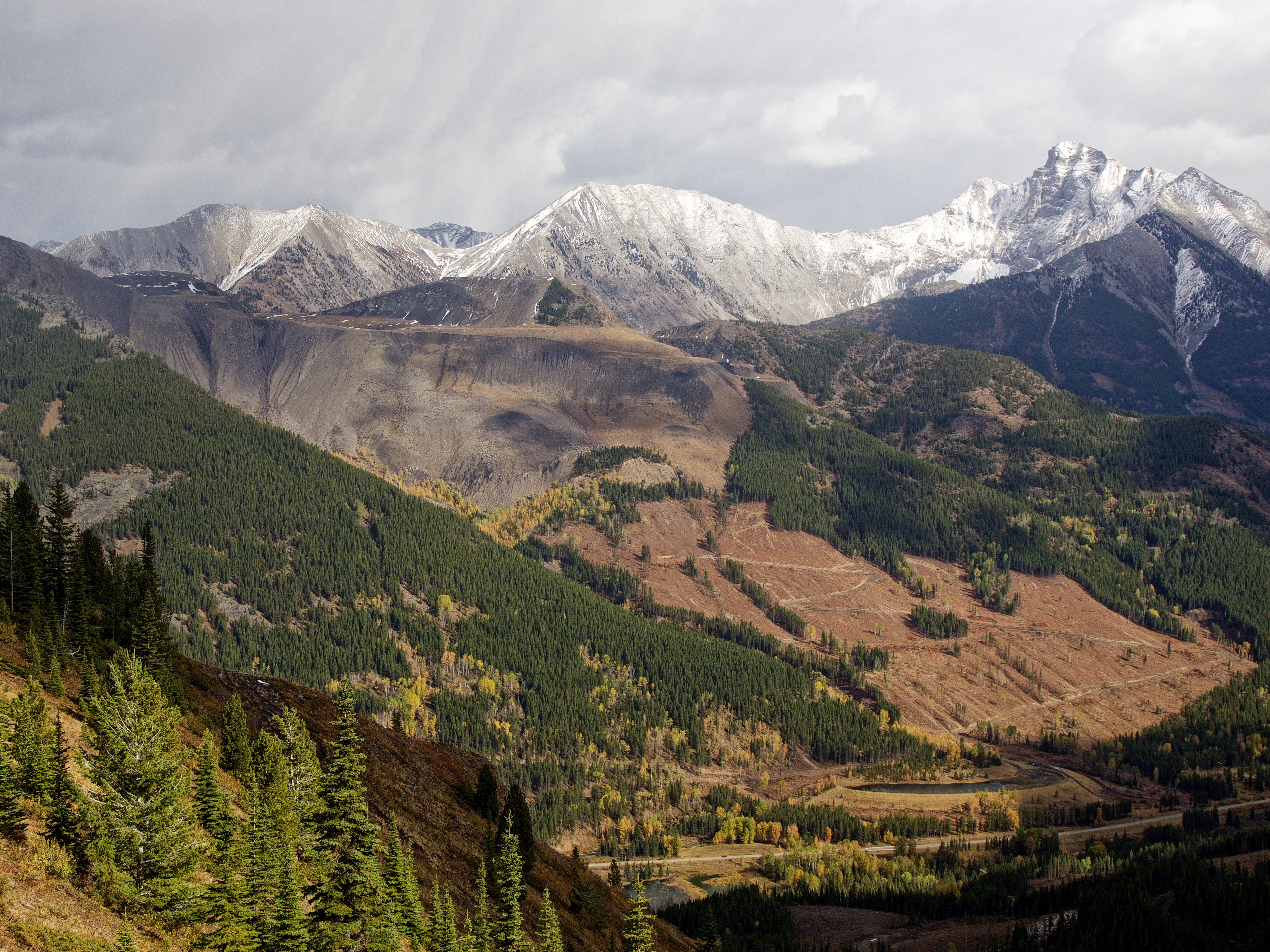
Once on the summit, we enjoyed some particularly good views of Mount Ptolemy and the Flathead Range, before setting our eyes on Michel Head, which is located ~ 7 km further along Michel Ridge. However, we soon realized that we would not have enough time and decided to descend using the long, curved ridge located ~ 2.3 km southeast of the summit (this was my planned ascent route when I first scoped out the mountain several years ago).
However, wanting to see if there was a trail that led to the lake beneath the summit of Michel Head, we left the ridge early to explore a valley further to the southeast. We discovered a very good, human-made trail that looked like it led to the lake (and perhaps the summit), but as we followed it back, we came to a recently logged section of forest. After crossing a clearcut, we rejoined the trail and followed it to the Corbin Road. However, our excitement at finding a hidden local trail was dashed when we ventured a short ways down the highway to see that the actual entrance to the logging site displayed a private property sign – the only one that we saw all day. So, unfortunately, we will have to come back and approach Michel Head either along the entirety of the southeast ridge, or from closer to Corbin. From the trailhead, it was an easy ~1.75 km walk along the Corbin Road to my vehicle.
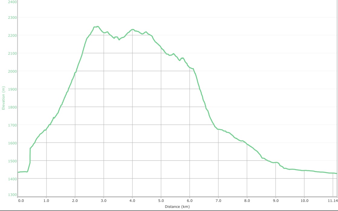
My GPS messed up a short section of the route near the beginning, but after patching in some data from my previous attempt, I was able to salvage an almost accurate read out. This error is represented by the small vertical section of elevation on the far left. Both Andrew’s GPS and my GPS pegged the summit at 2249 m which is very close to the 2250 m marker given by Toporama. Our total elevation gains were 925 m over a total distance of 11.1 km. We made it from the car to the summit in just over 2 hours, and our total roundtrip time came in at just over 6 hours.

Despite the proximity of Mount Taylor to Tent Mountain, I’m fairly certain that it receives little to no attention from hikers – which is too bad, because not only is it higher than Tent, it also offers up the options for either a short day, a medium day (our trip), or long day of ridge walking. Moreover, it allows you to clearly see Mount Ptolemy as the head of a recumbent pharaoh – hence its original name of Mummy Mountain. Very cool!

Gearing up at our parking spot next to the Corbin Road. The summit is shrouded in cloud.

Despite encountering rain and snow on the drive out, it ended up being a gorgeous fall day!
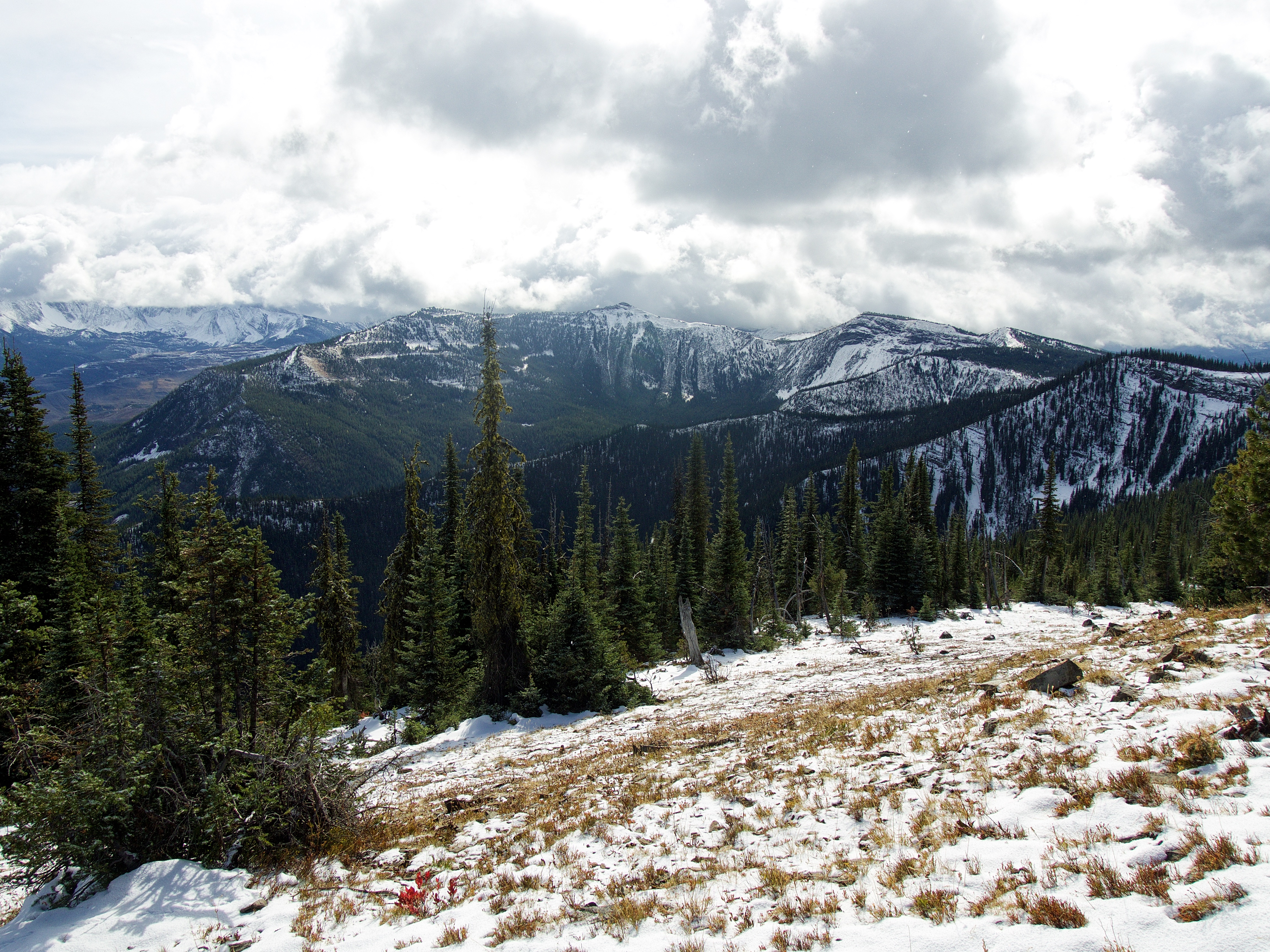
My 2016 snowshoe attempt followed the skyline ridge on the left, but today’s route used the ridge in front of Andrew. Both are accessed from the drainage that can be seen in the centre.
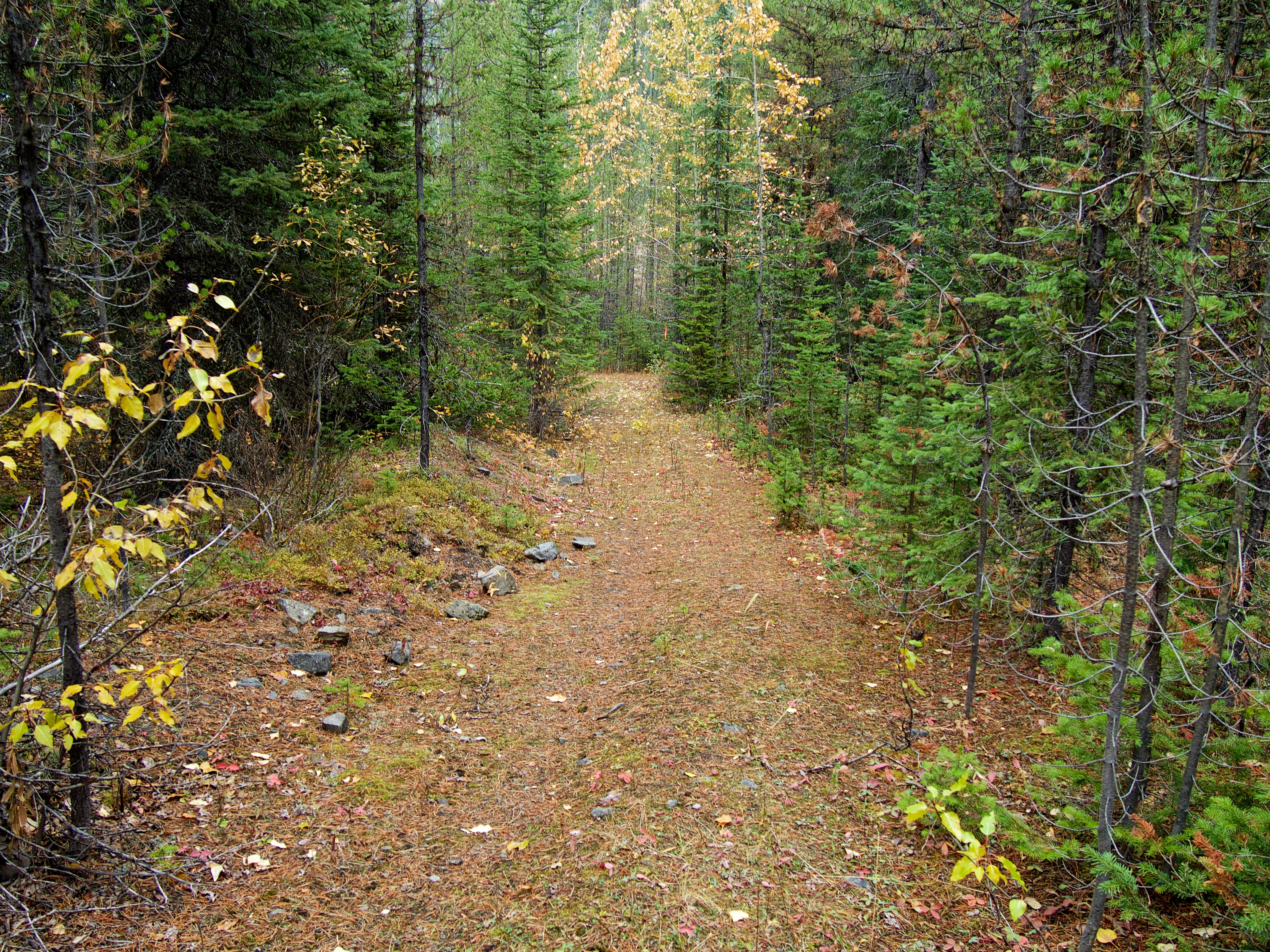
After crossing Michel Creek, we walked south for ~140 m before coming to this clearing on our right. We then walked to the top of the small ridge in front of Andrew. The drainage is on the other side.

On top of the small ridge and watching as Andrew tests to see how far he can impale his hiking poles into his abdomen. 😉 The animal trail that follows the drainage begins in the trees in the centre.

Heading up the trail.
Approximately 360 m from the top of the little ridge, the trail enters the drainage.
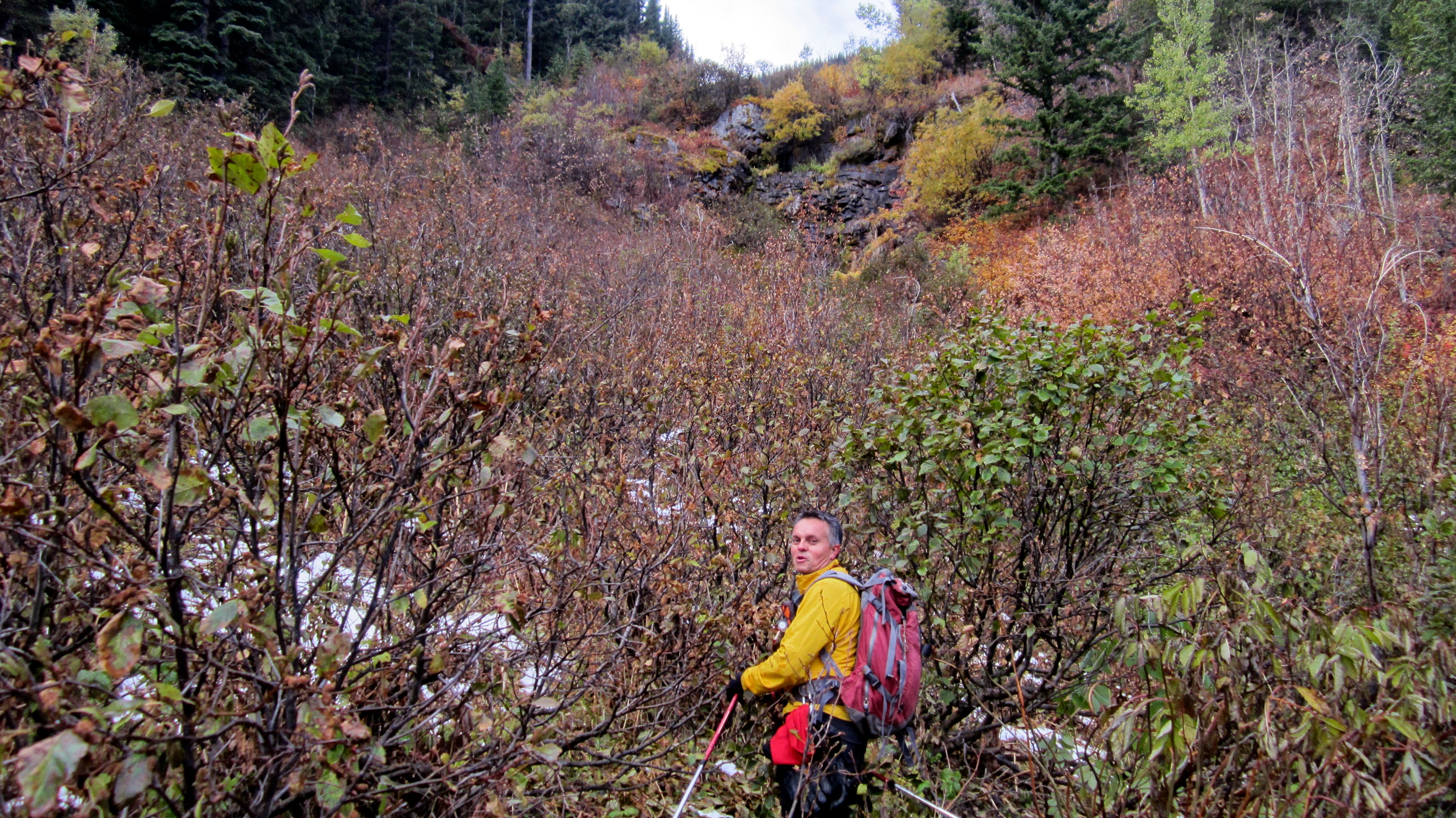
“What did you get me into Dave?!” 😉 We followed the drainage until we came to this rock wall. Just like in 2016, we bypassed it by climbing up the steep slopes to climber’s left.
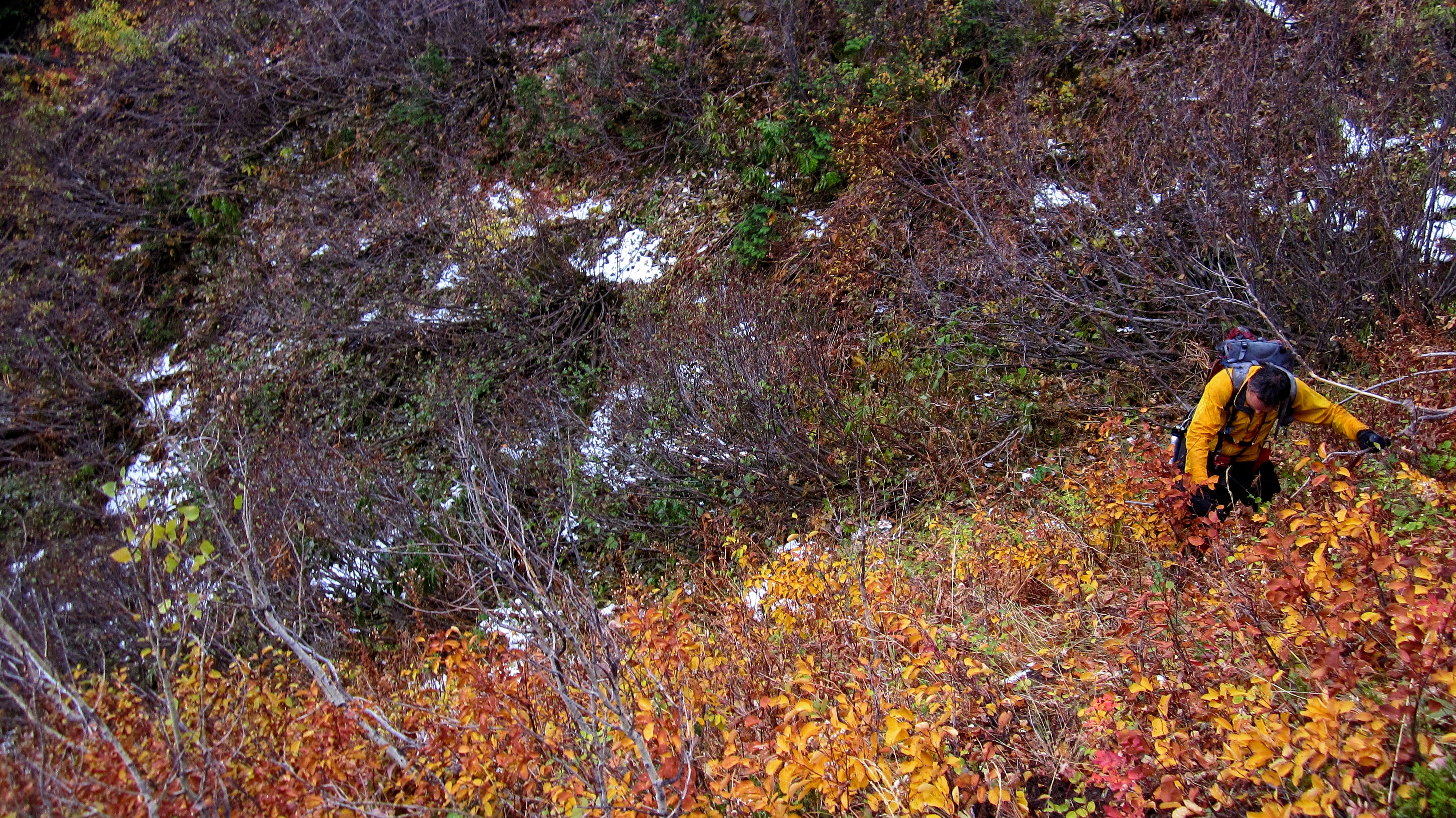
Andrew makes the climb out of the drainage. Unlike 2016, we decided not to follow the ridge on the left side of the drainage, but to instead cross the drainage and follow the ridge on the right.
The hike was unrelentingly steep but highly enjoyable. Tent Mountain is in the background.

Looking across to the ridge that Jeff and I used on our 2016 snowshoe attempt. At one time, there may have been a logging road linking the two.
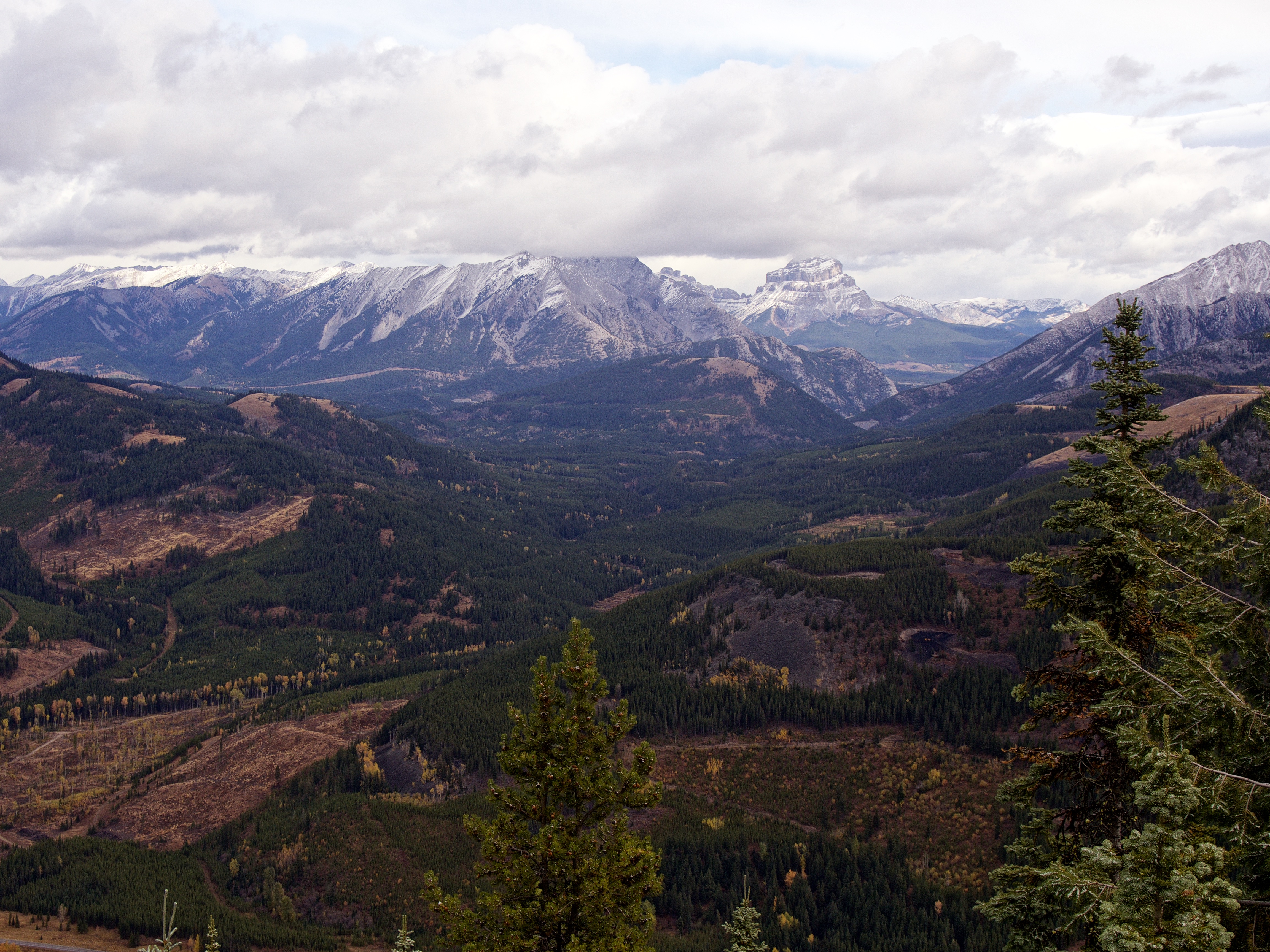
Gazing northwest from the ridge. From left to right: “Alexander Creek Mountain”, “Shooting Star Peak”, Phillipps Peak, Mount Tecumseh, Island Ridge, Crowsnest Ridge, Crowsnest Mountain, and Sentry Mountain. Diminutive Trail Hill is in the foreground on the left.

A close up of Crowsnest Mountain.

The view north at Loop Ridge, Mount Erickson, Gaff Peak, and Sheep Mountain.

Looking back at Corbin Road. “Mummy Mountain”, “Anubis Peak”, and “Pharaoh’s Peak” can be seen behind Tent Mountain on the left, while a beclouded Mount Ptolemy is in the centre.

Almost there! (Photo by Andrew Nugara)
Mount Taylor is already in the Christmas spirit!

We encountered ankle- and calf-deep snow near the top of the ridge.

On the summit ridge and making the easy ~250 m hike to the summit.

Andrew arrives on the summit of Mount Taylor (2250 m).

The summit features two little bumps that provide the illusion that the opposite bump is slightly higher. For the record, our GPS’s measured identical elevations.

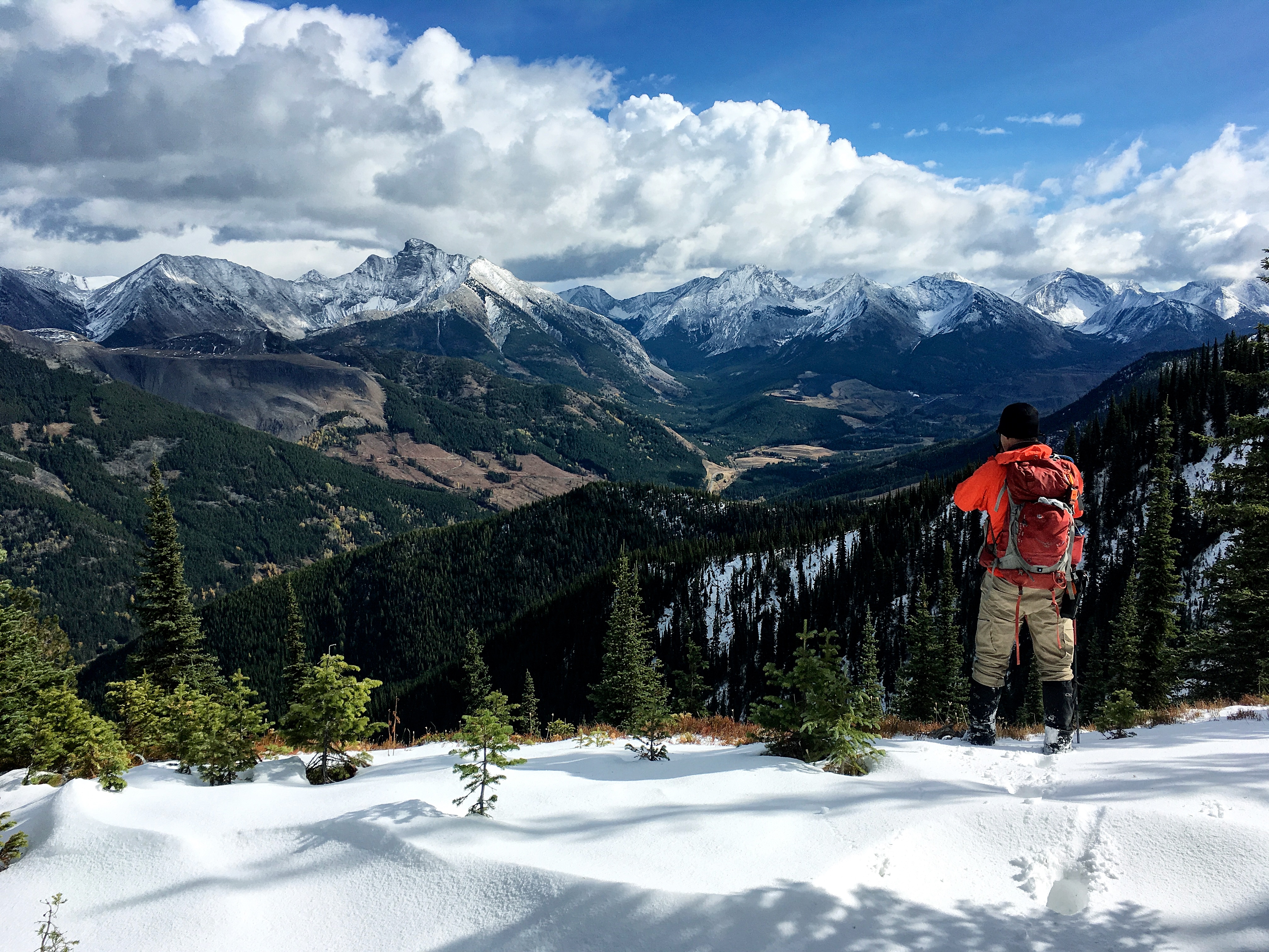
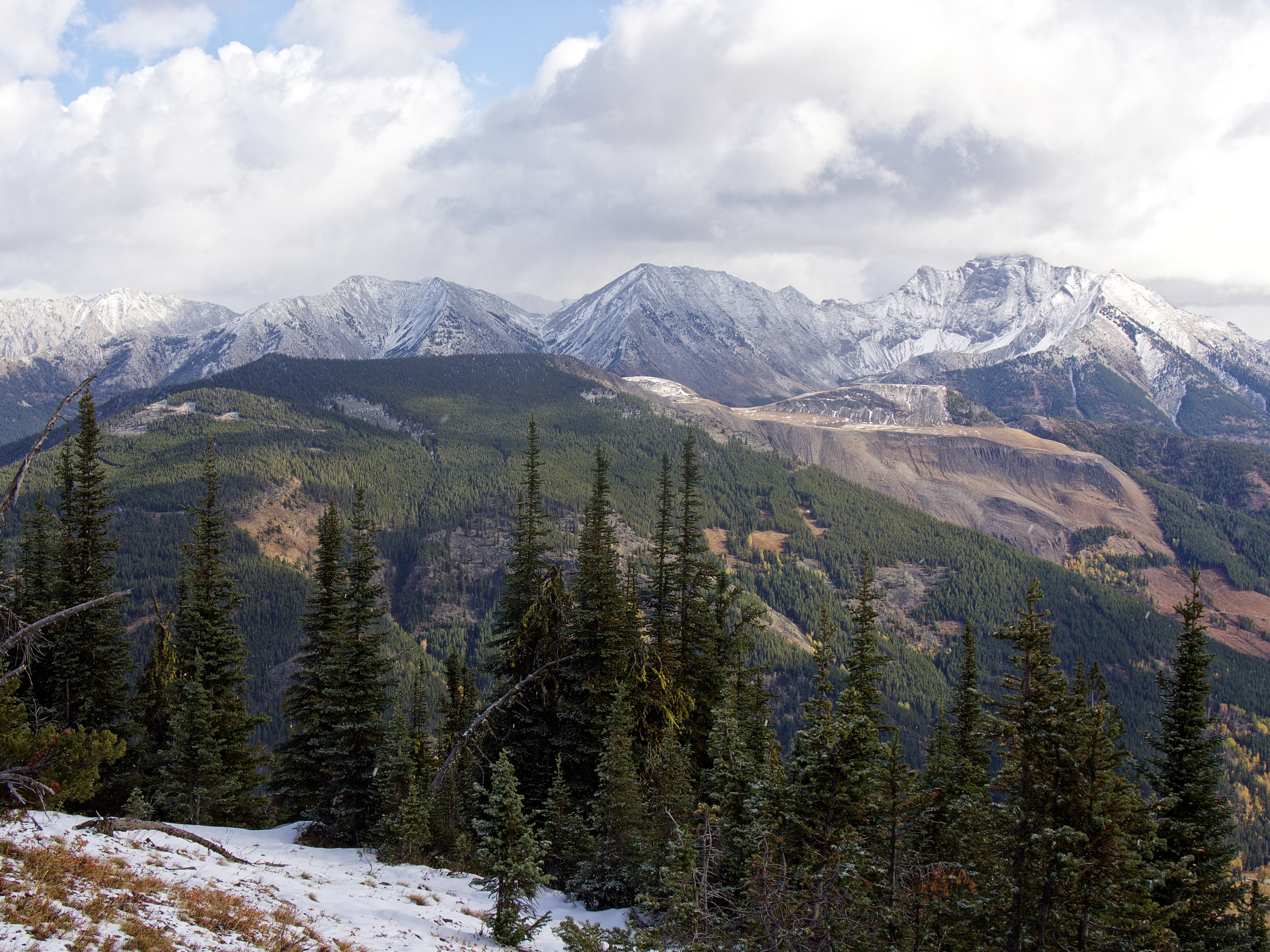
The summit provided some good views! This is looking to the northwest at the High Rock Range. From left to right: Racehorse Mountain (Peak), Mount Ward, Allison Peak, “Alexander Creek Mountain”, “Deadman Peak”, “Shooting Star Peak”, Phillipps Peak, Mount Tecumseh, The Seven Sisters, and Crowsnest Mountain. In the foreground left is Trail Hill and on the right are Island Ridge and Crowsnest Ridge.

The view north at Loop Ridge, Mount Erickson, Gaff Peak, Sheep Mountain, and Mount Salter. On the left is the Teck Mining operation on Natal Peak.
Looking to the northwest at the old Natal Fire Lookout (foreground). In the distance from left to right are: Mount Washburn, Mount Gydosic, Mount Frayn, and Mount Terrion.
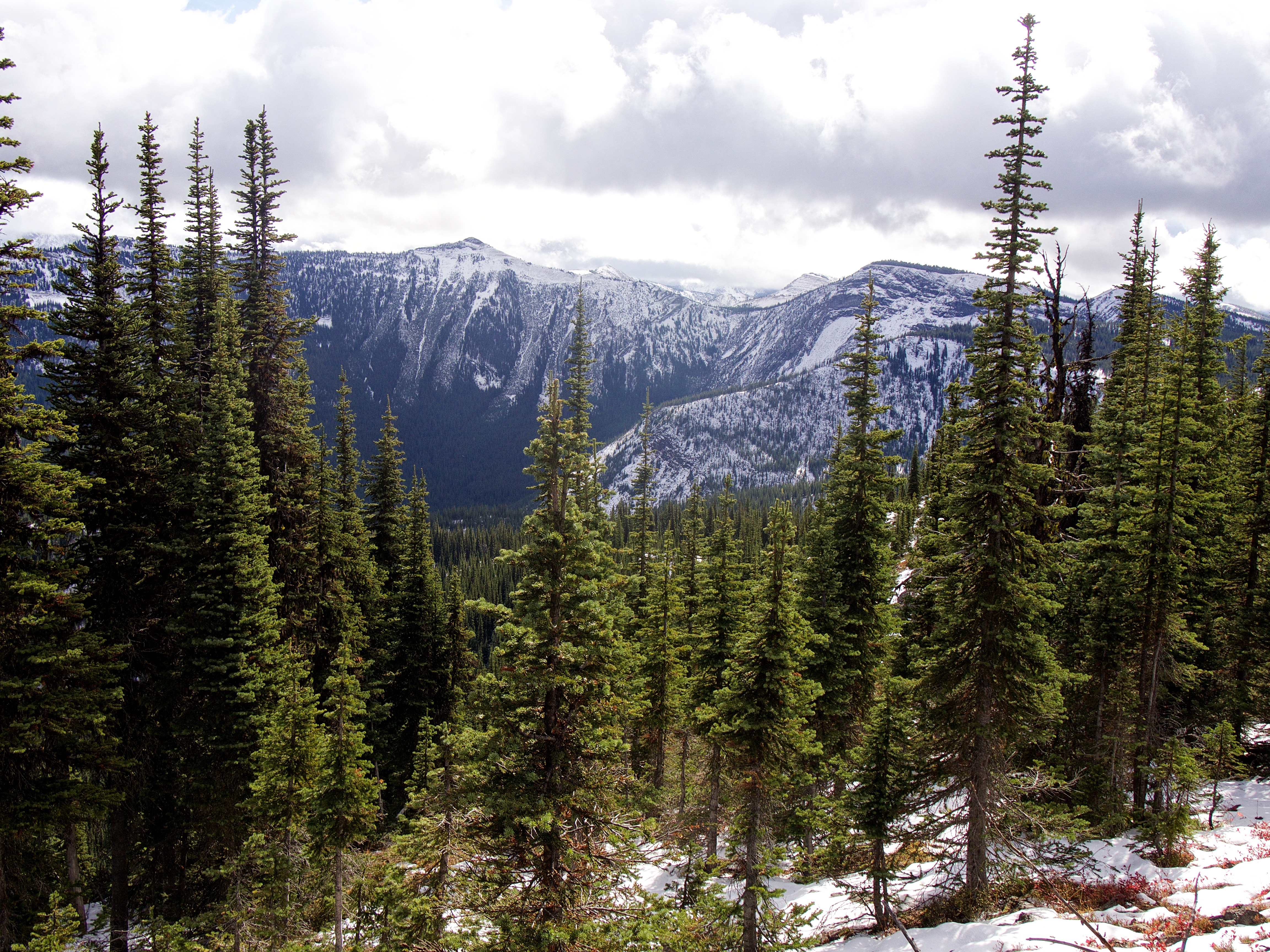
Leach Ridge sits to the west.
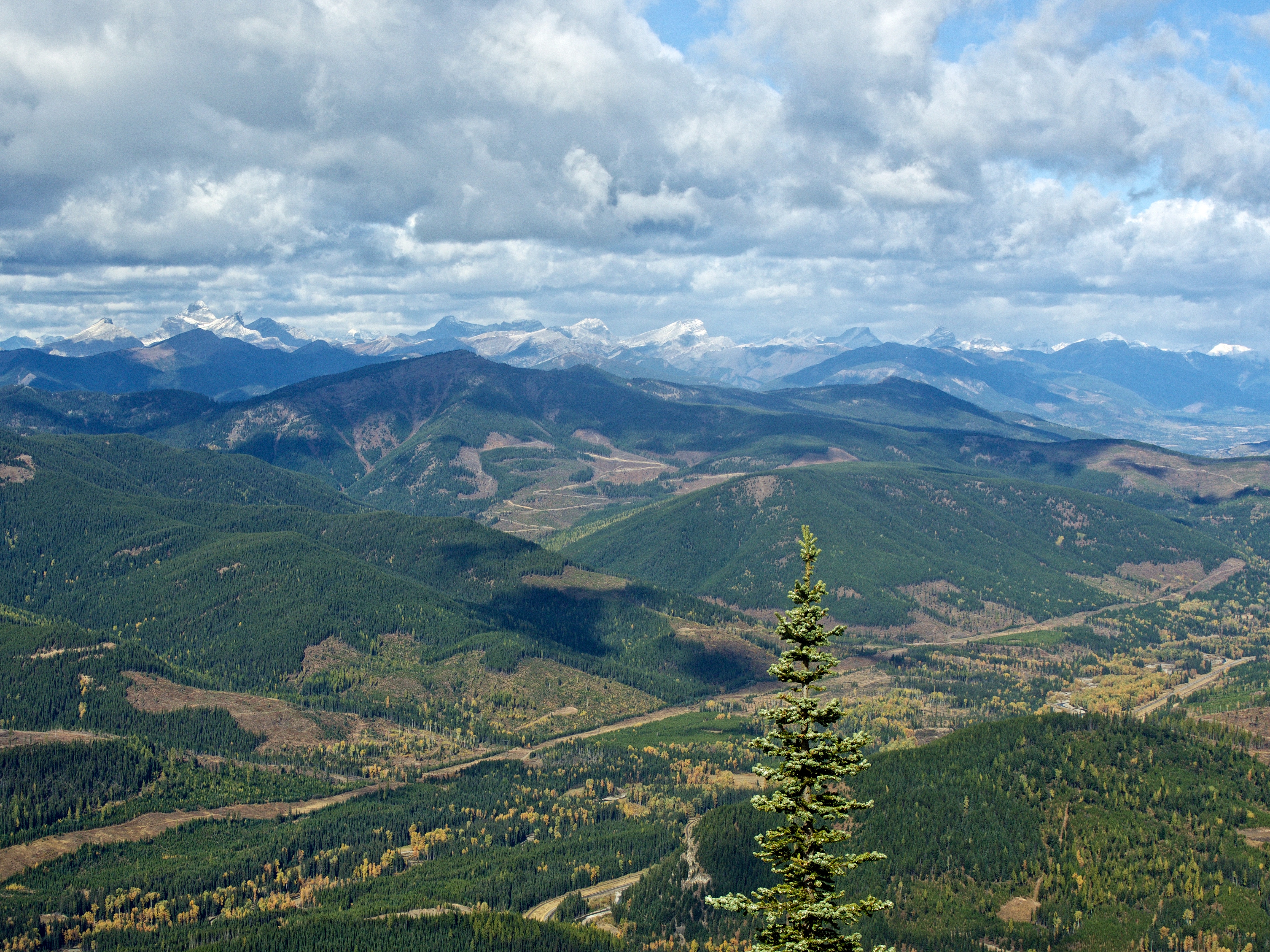
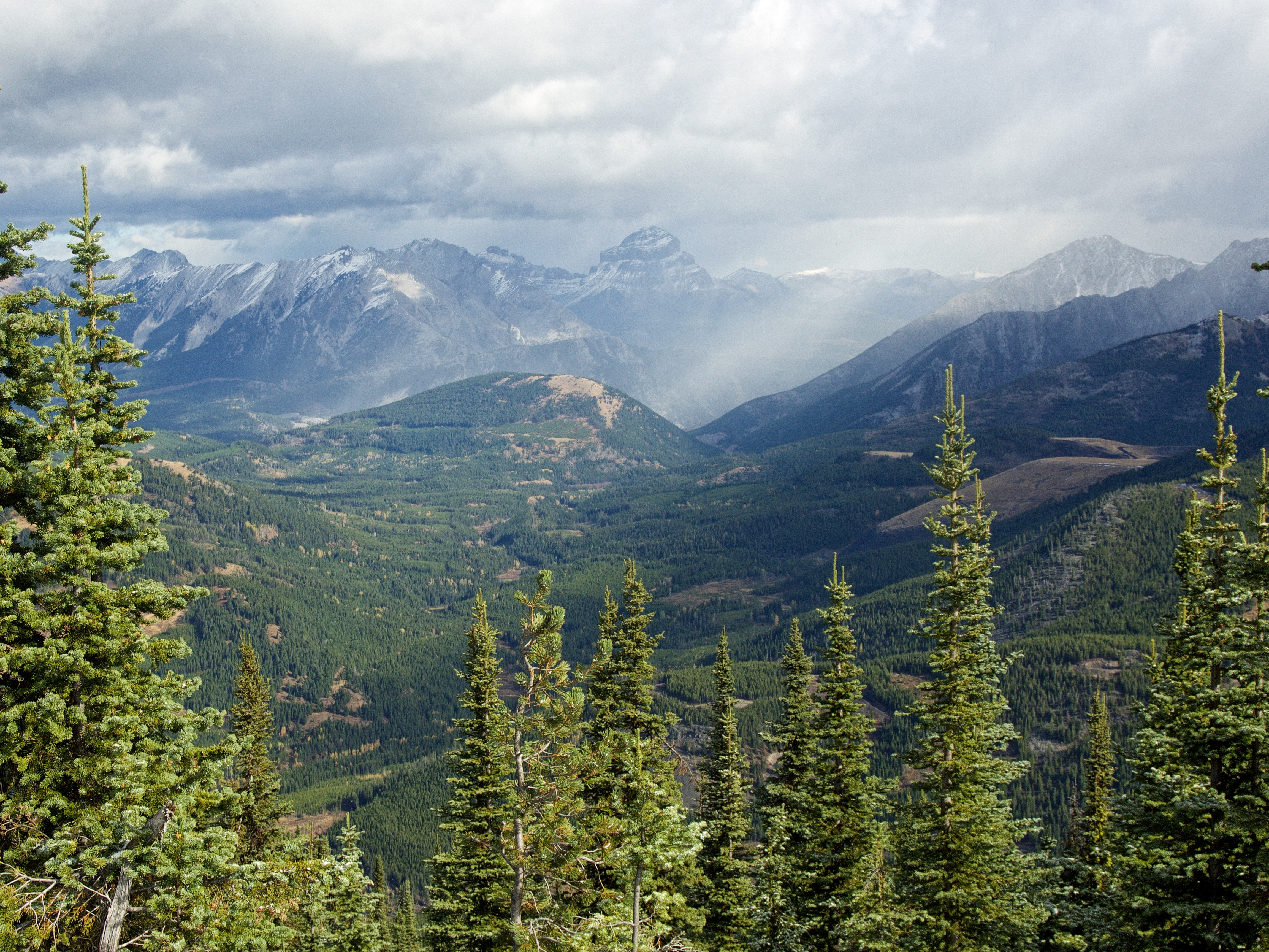
Michel Head (centre) lies ~ 7 km away along Michel Ridge.

Looking east at Mount Ptolemy (left), Mount McGladrey and Mount Pengelly (centre). Mount Darrah (far right) is completely covered by cloud.
The summit offers a unique view of Mount Ptolemy (right) and the three peaks that make up its Northwest Ridge (centre and left). From the 1870s to 1914, Mount Ptolemy was referred to as Mummy Mountain because it and its Northwest Ridge resembled a recumbent Pharaoh when viewed from the west – with Ptolemy being the head (unfortunately clouds are covering his nose in this pic). In 1914, the Boundary Commission changed the name to Mount Ptolemy (after the ancient Greek astronomer) because there were Pharaoh peaks elsewhere in the Rockies. When my friend, Brad, and I traversed the Northwest Ridge (NROP) in 2016, we decided to pay tribute to the history of the mountain by nicknaming Peak 1, “Mummy Mountain”, Peak 2 “Anubis Peak”, and Peak 3, “Pharaoh’s Peak”. If you ever get the chance, NROP is a fun trip! Tent Mountain is in the foreground.
A passing sow squall is illuminated by sunlight.
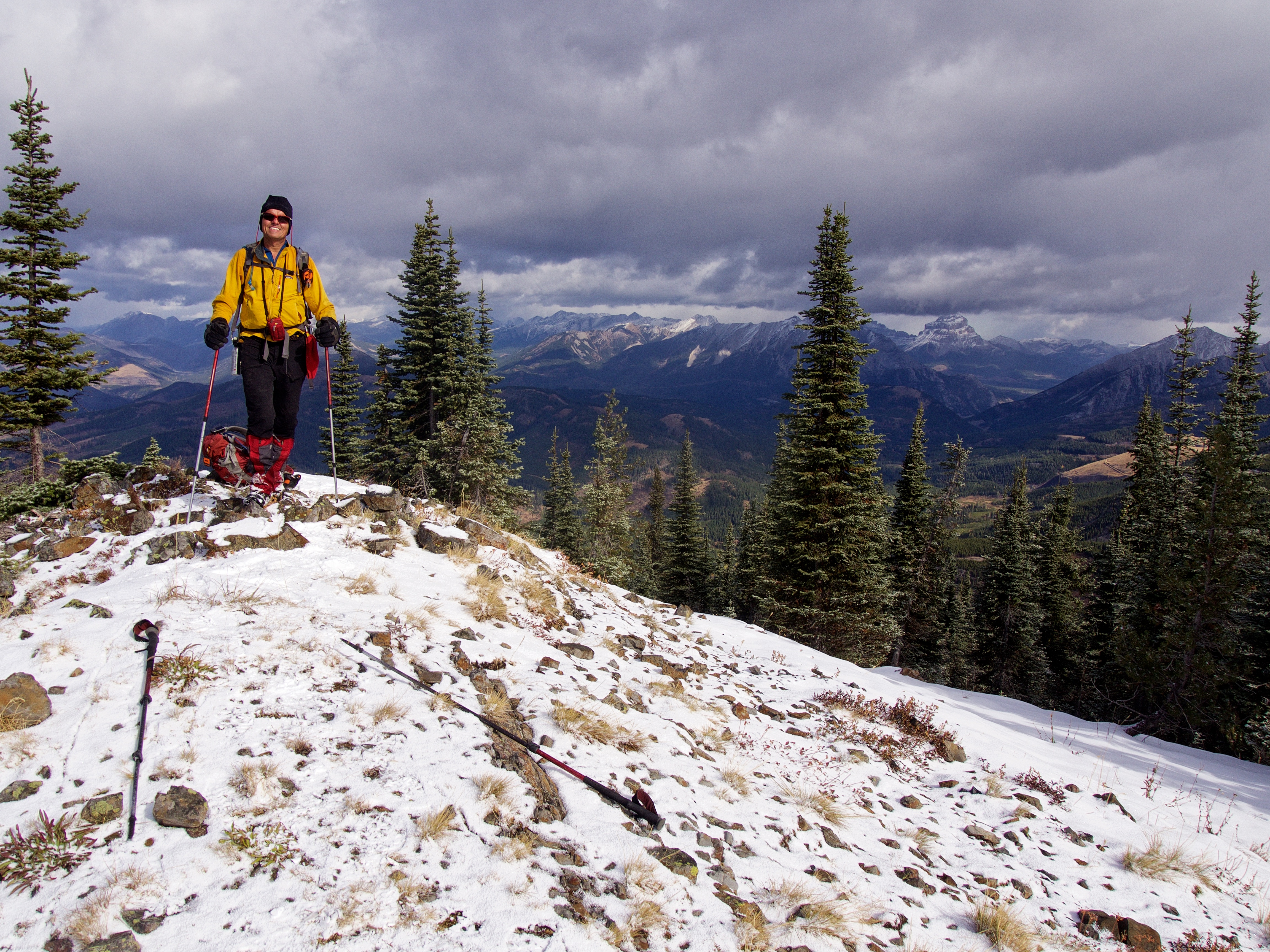
I love Andrew’s enthusiasm for the mountains!
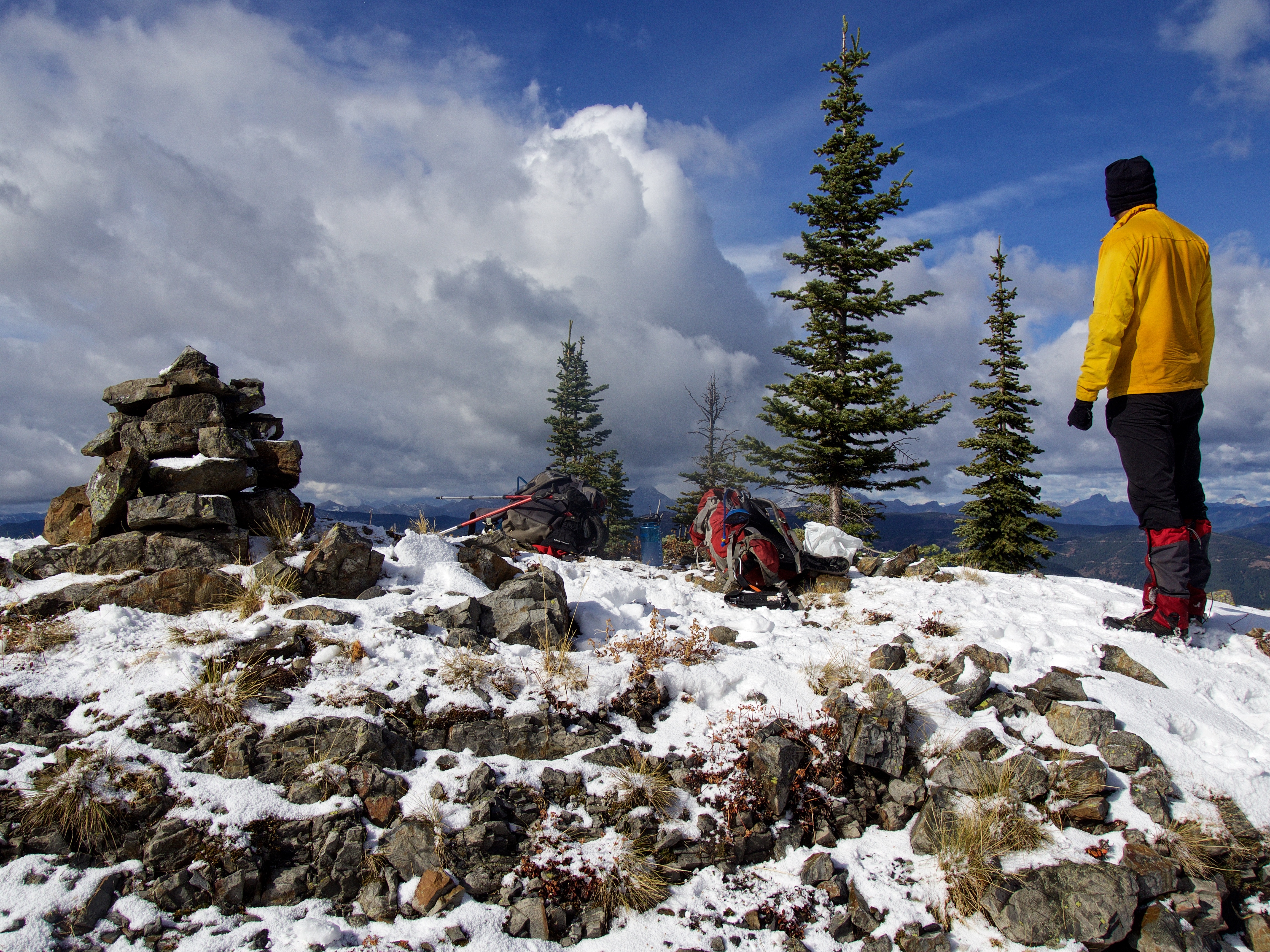
I’m not sure many people visit the summit, so I took the time to build a cairn. I then named it, Troy. This one’s for you Troy Taylor! 🙂

Blue sky! (Photo by Andrew Nugara)

Getting ready to leave the summit.

Hiking towards Michel Head (not shown). After realizing that we didn’t have enough time to include an additional ascent, we decided to descend the long ridge on the far left. (Photo by Andrew Nugara)
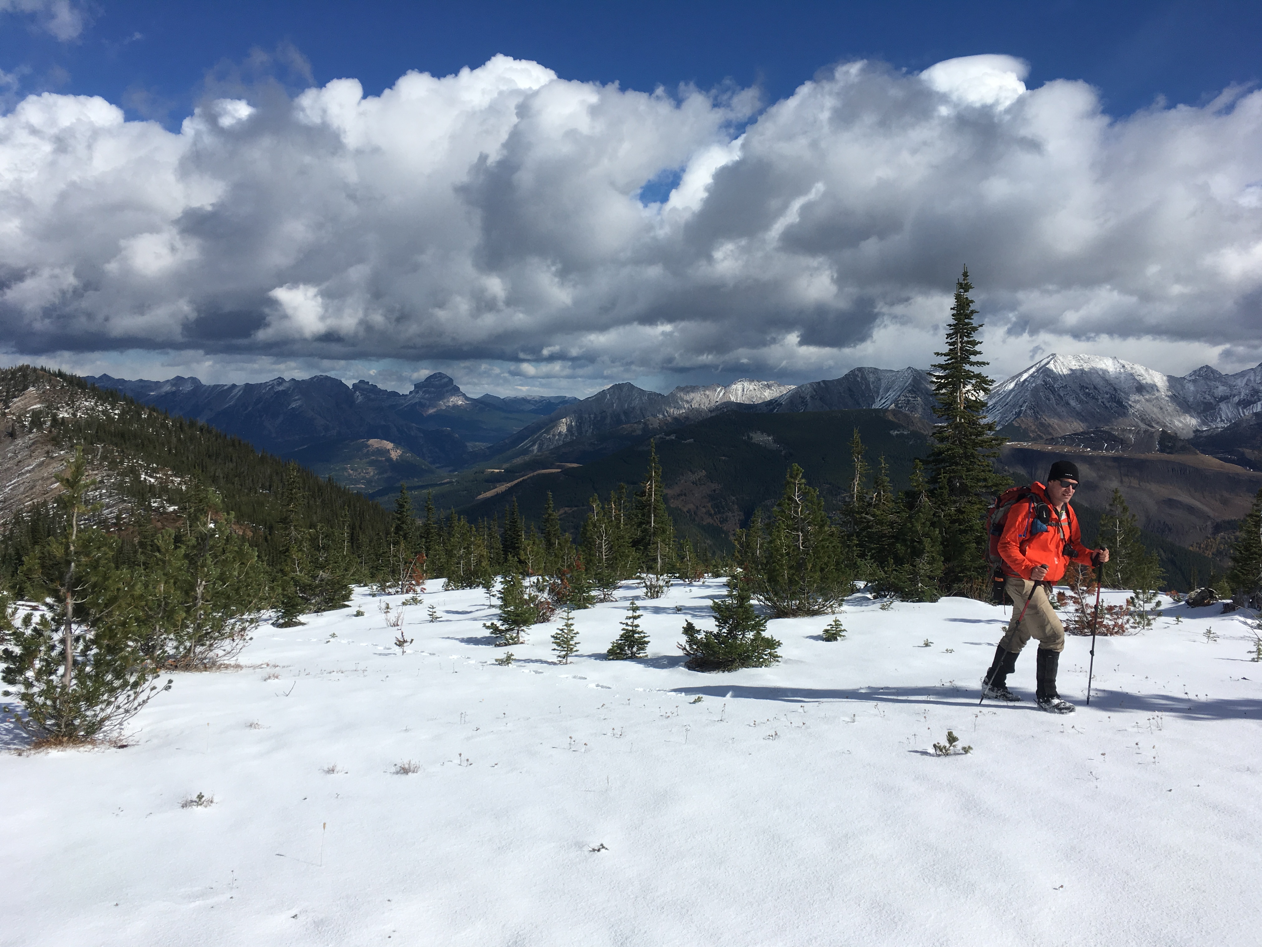
Both of us really enjoyed the ridge walk! (Photo by Andrew Nugara)
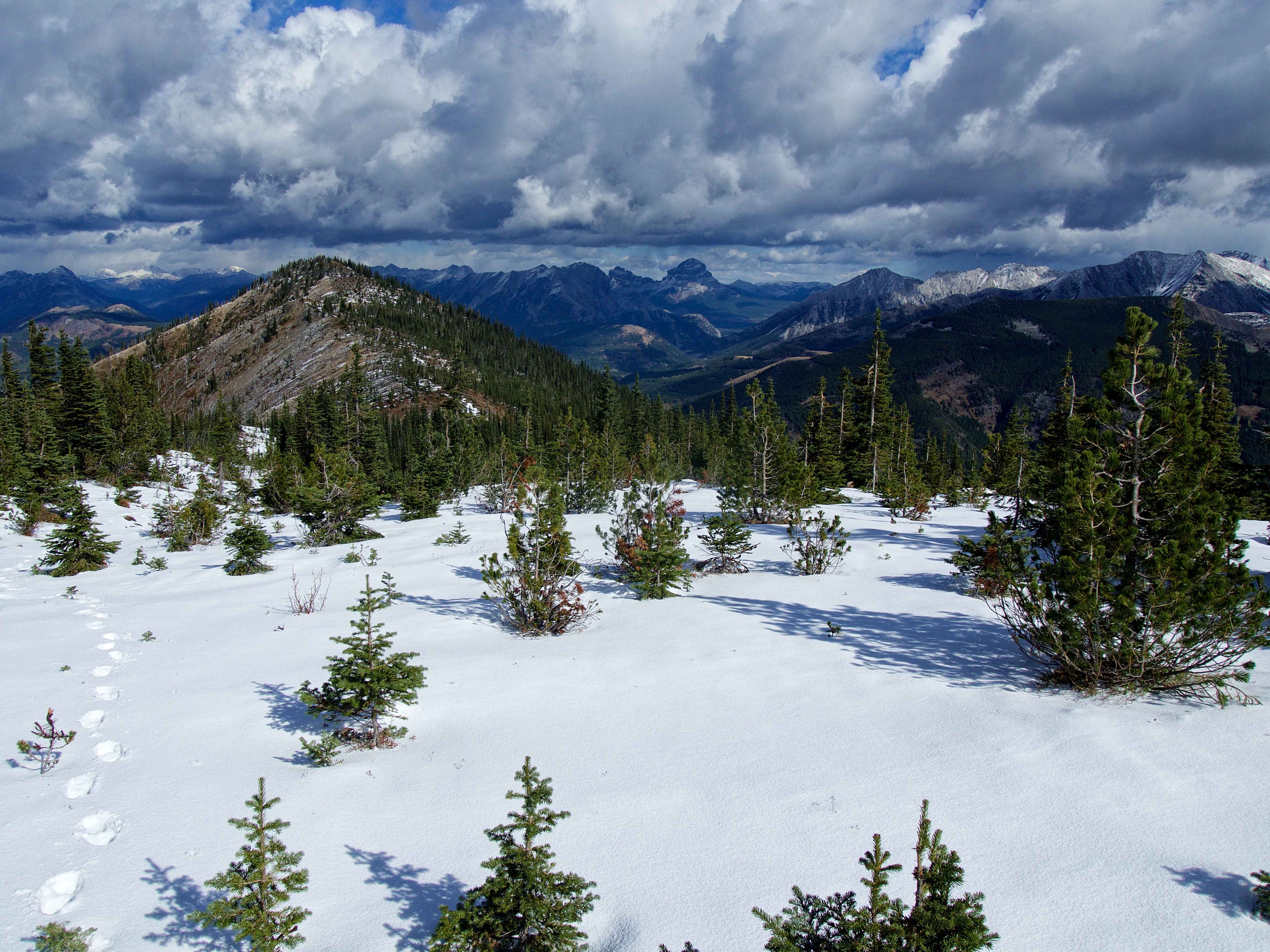
Looking back towards the summit of Mount Taylor.

One of my favourite pics of the day! Checking out the pharaoh’s head now that the clouds have moved on. (Photo by Andrew Nugara)

A pano from partway along the ridge.

We took time to study the western side of the Flatheads. The unnamed peak on the far left is taller than both Mount McGladrey (left of centre) and Mount Pengelly (centre). The unnamed peak to the right of centre (next to Pengelly) is also intriguing as it looks like it might be ascendable from its col with Pengelly.
We discovered that there was a significant elevation loss and then gain to reach Michel Head (centre) via the ridge. This is when we decided to forego an attempt.
A cool old tree stump.
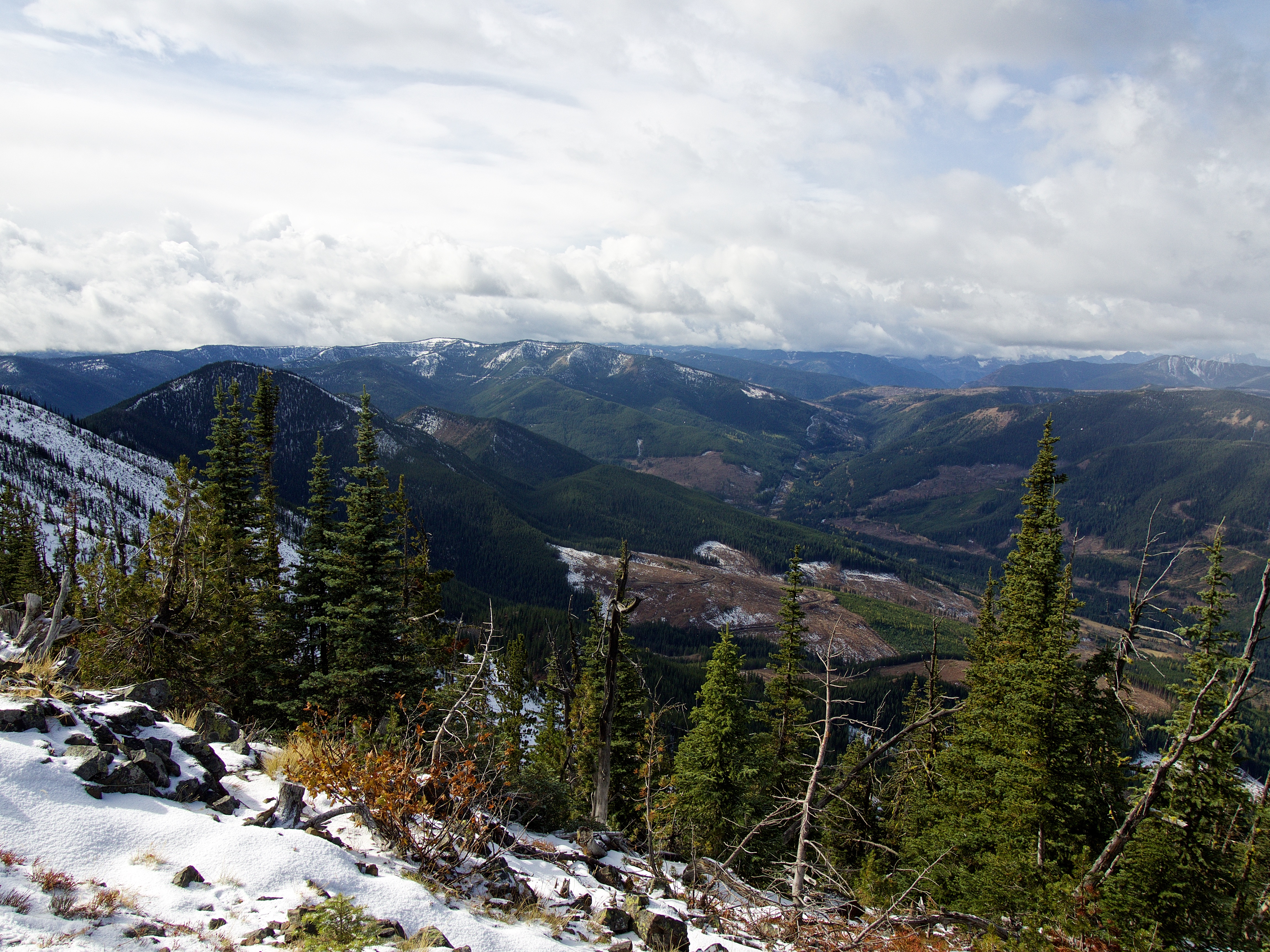
Starting down the descent ridge which is located ~2.3 km from the summit. This would make for a more gradual ascent if done in reverse.

A pano from the descent ridge looking back towards the summit of Mount Taylor (far right).
A pano looking towards Michel Head. A small lake (white patch) can be seen in the trees in the centre.
We became intrigued with the valley to the southeast and wondered if there was a way to reach both the lake and the summit of Michel Head via a network of old logging roads.
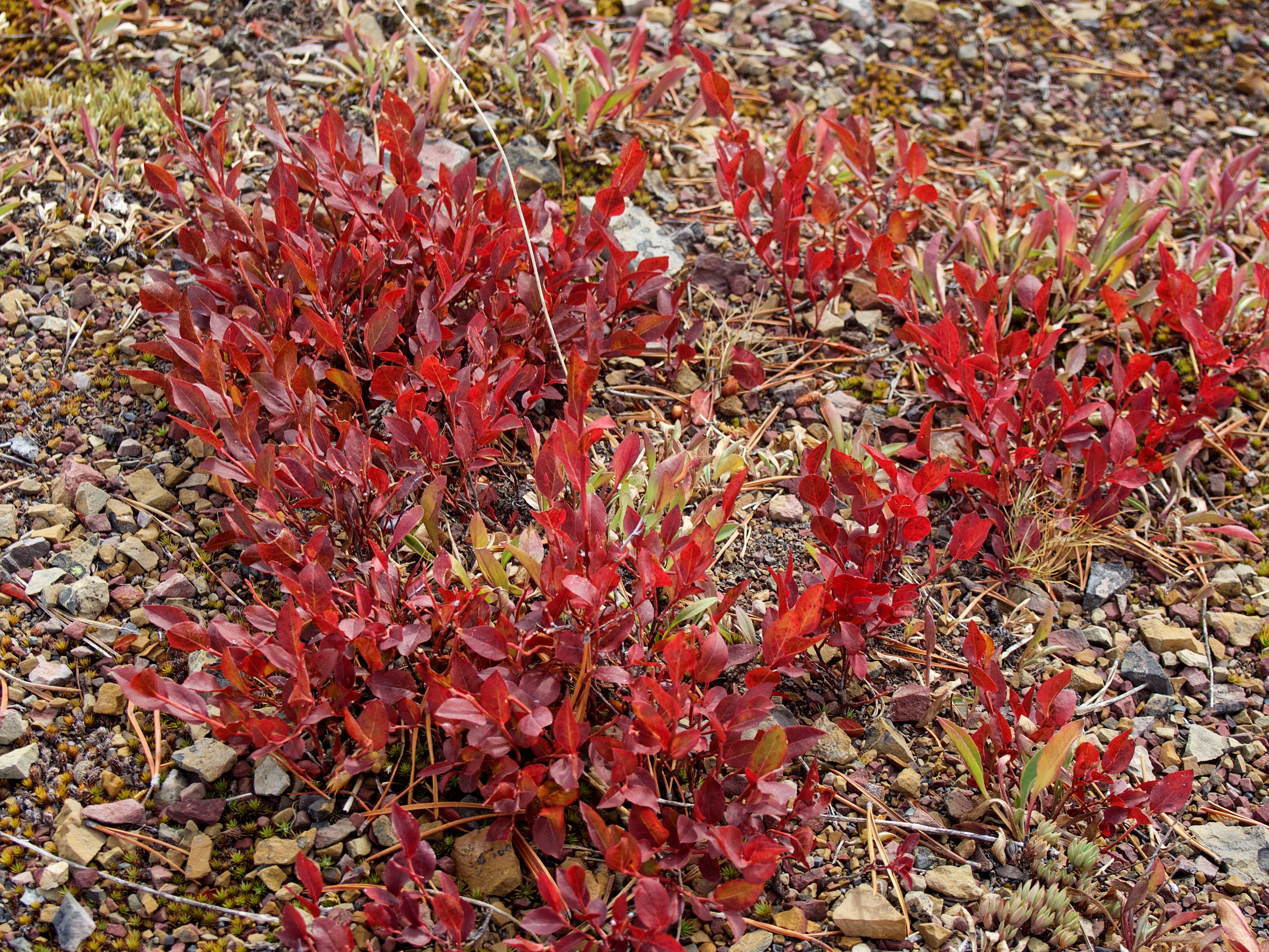
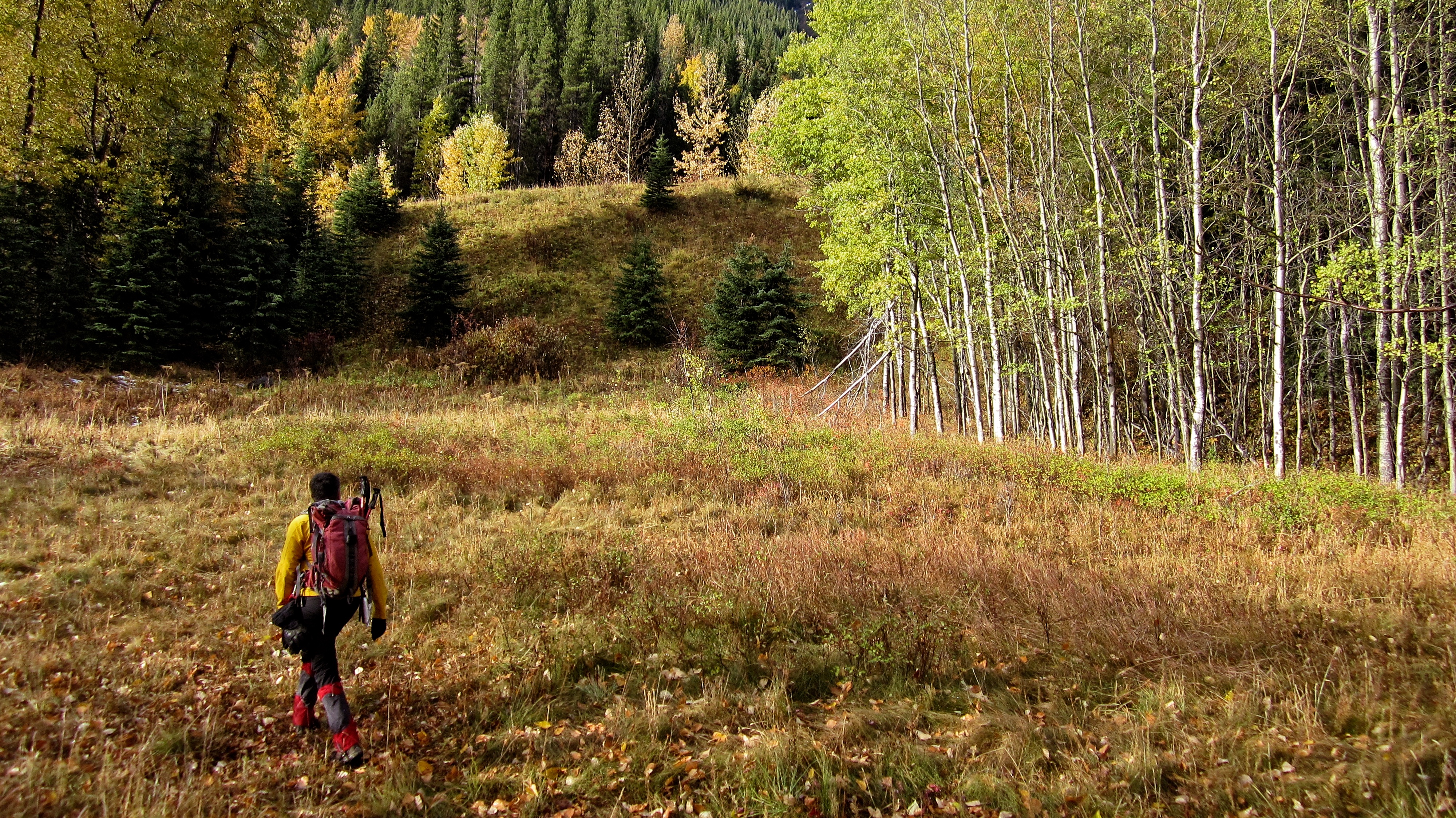
All day long, Andrew and I were mesmerized by the sheer host of colours.

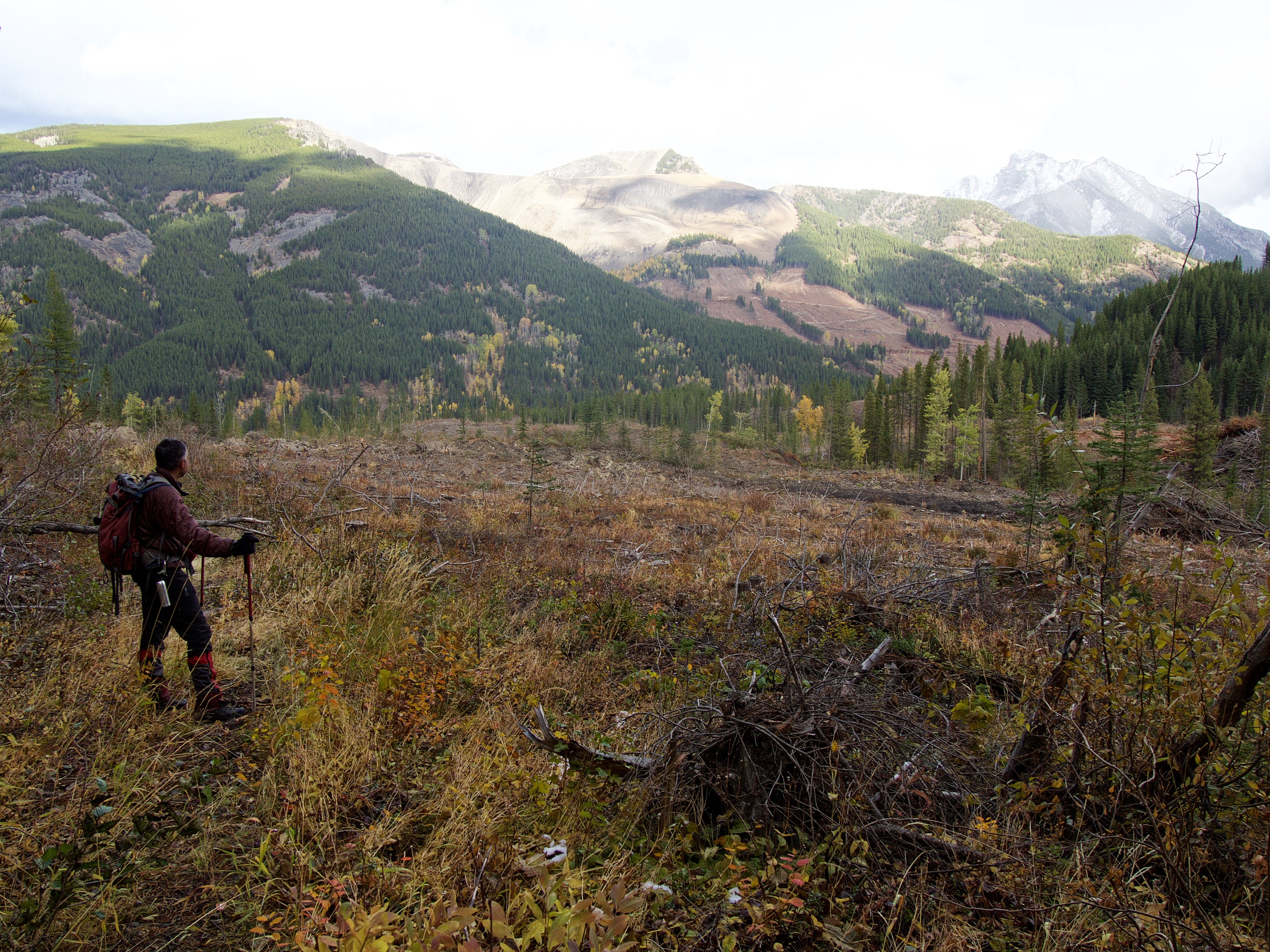
We could see some recent logging activity in the valley.
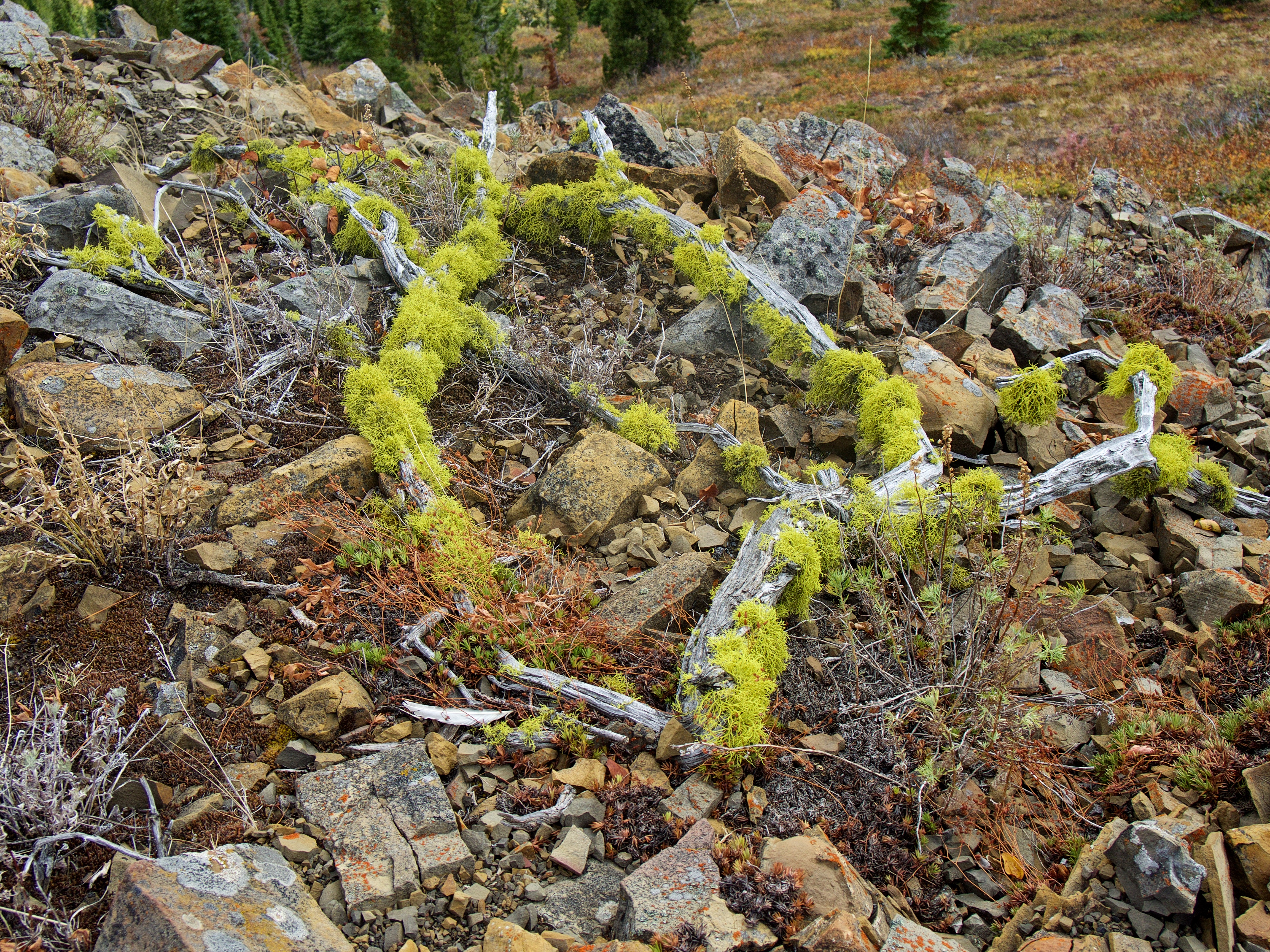
More of nature’s awesome handiwork!

A cool mix of sunlight and clouds over Michel Head (left) and Michel Ridge.
The summit of Mount Ptolemy (right) functions as the recumbent pharaoh’s nose while “Pharaoh’s Peak” portrays his folded arms. “Anubis Peak” and “Mummy Mountain” form his waist.

Instead of following the ridge and descending into the northwest valley via an old logging road, we decided to descend into the valley to the southeast to see if we could find a trail that connected to the lake and possibly the network of old roads beneath the summit of Michel Head. We made a wise choice to keep to skier’s right and aim for the small creek bed on the right. Had we gone skier’s left, we would’ve encountered some nasty cliffs.

Andrew stops to enjoy the amazing colours. We were like kids in a candy store and I’m fairly certain that we spent at least an hour just taking pictures.
Sure enough, we found an excellent human-made trail that appeared to lead to both the lake and Michel Ridge. Surprisingly, it looked like it had never been touched by an OHV. We followed it all the way back to the Corbin Road.

More eye-popping colours.
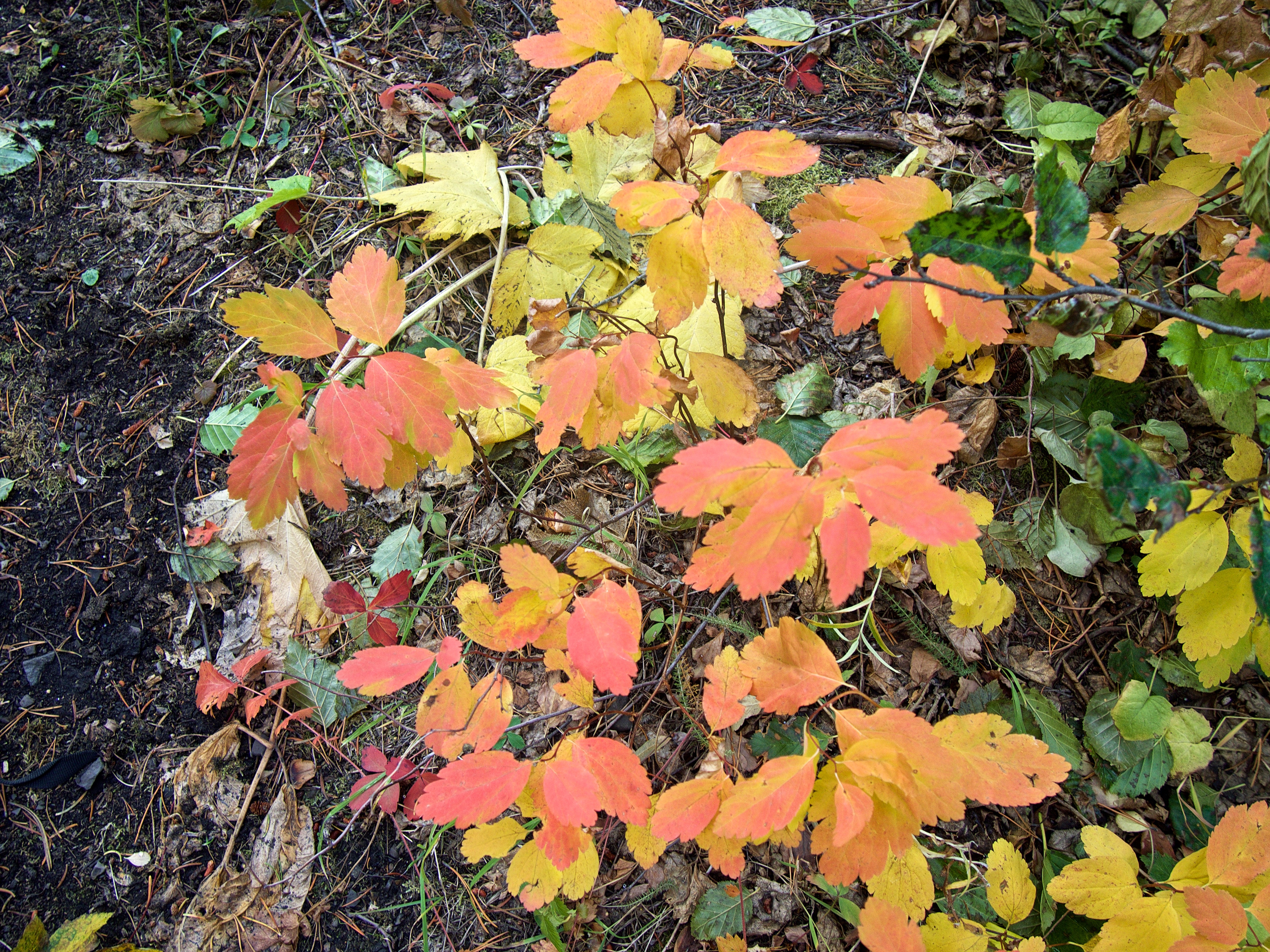
So much beauty!

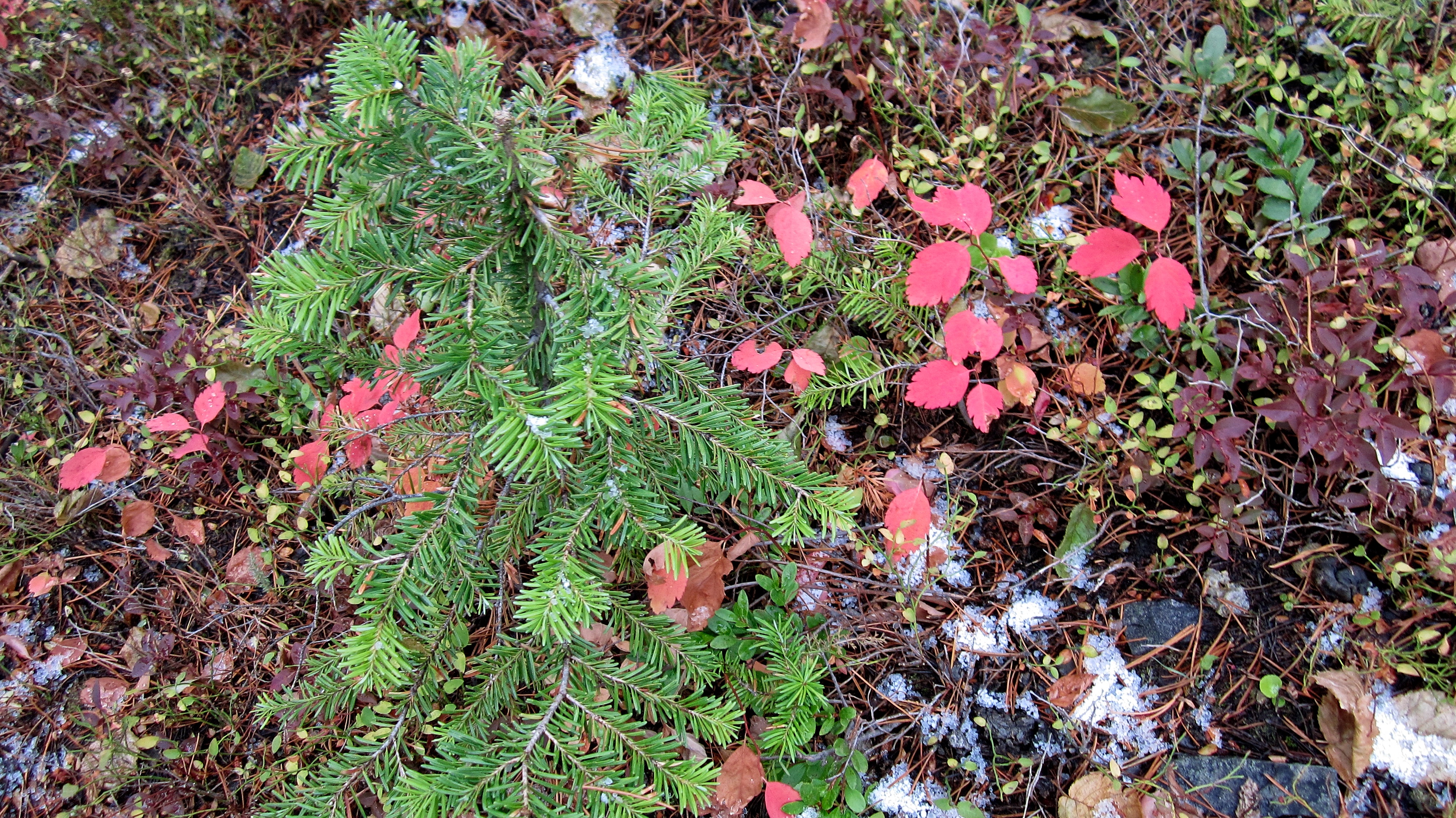
A perfect little strawberry plant.
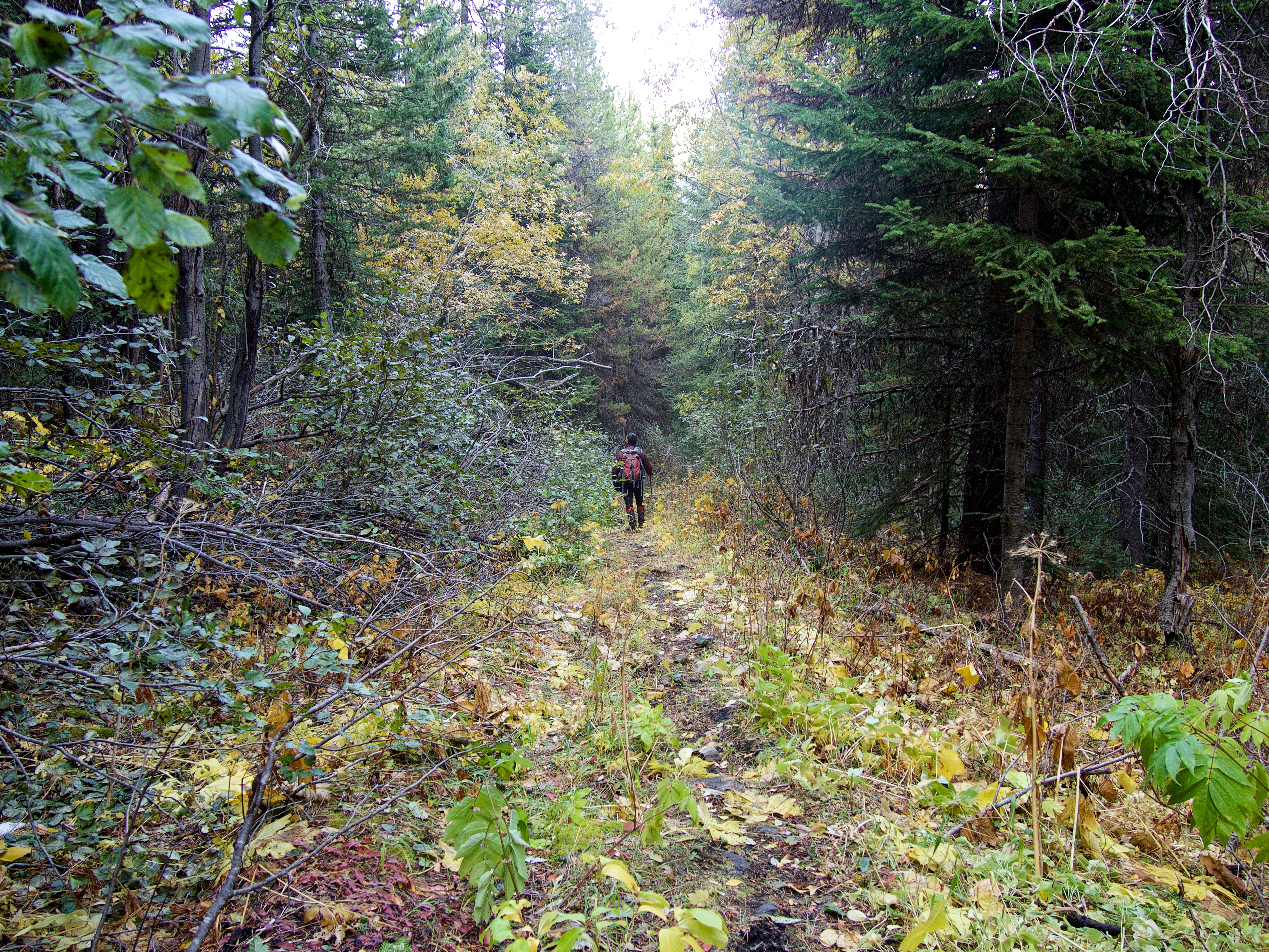
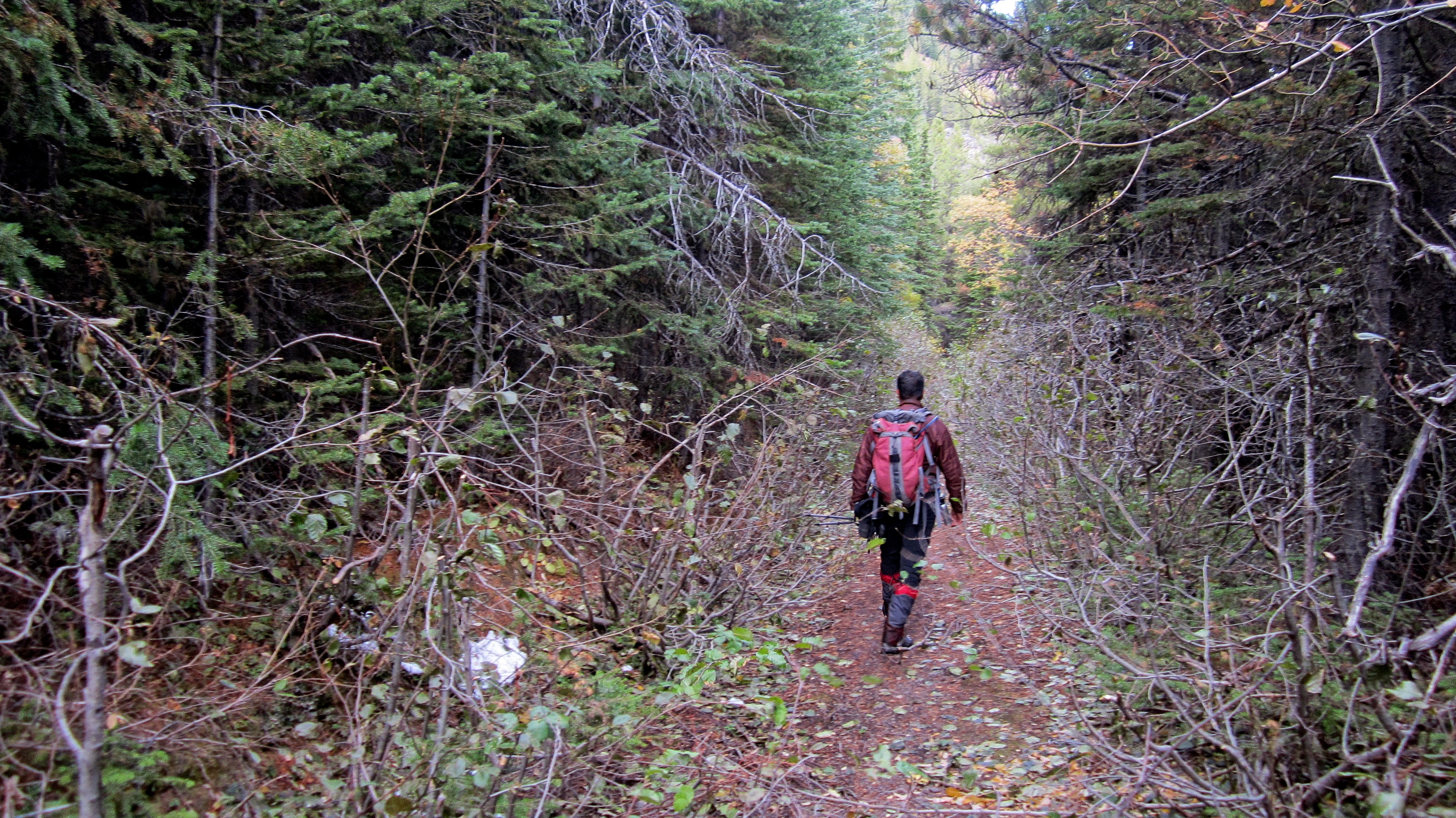
It was a pleasant hike along the trail.
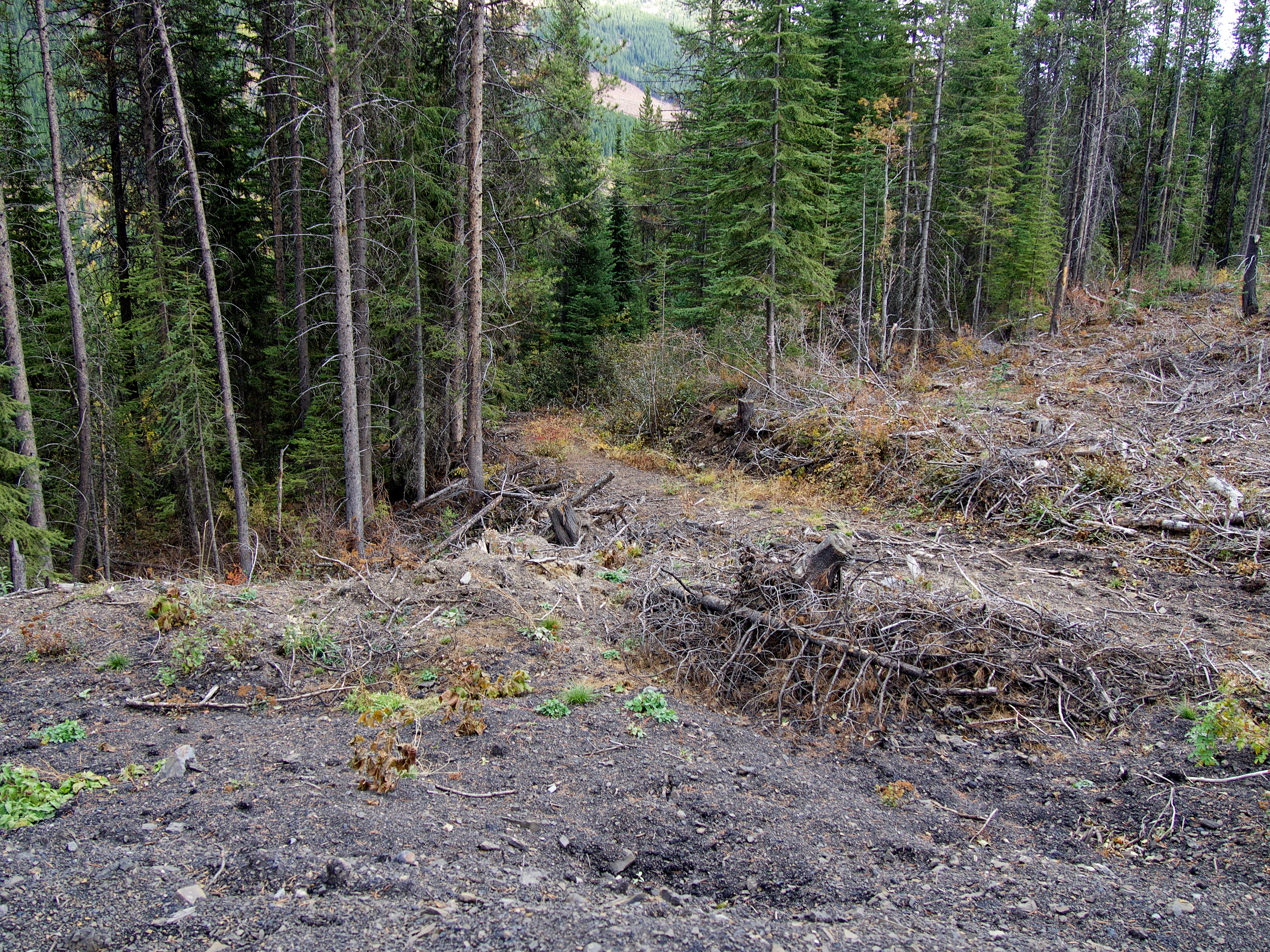
However, the beauty of the trail was eventually replaced by a recent section of clearcut logging. This is the point where the trail was destroyed.

Looking back at the cliff bands that we avoided.

We followed a muddy logging road down the mountain.
However, we soon found that the lower section of the trail was still intact, so we left the road to follow it.
What an awesome hiking trail!
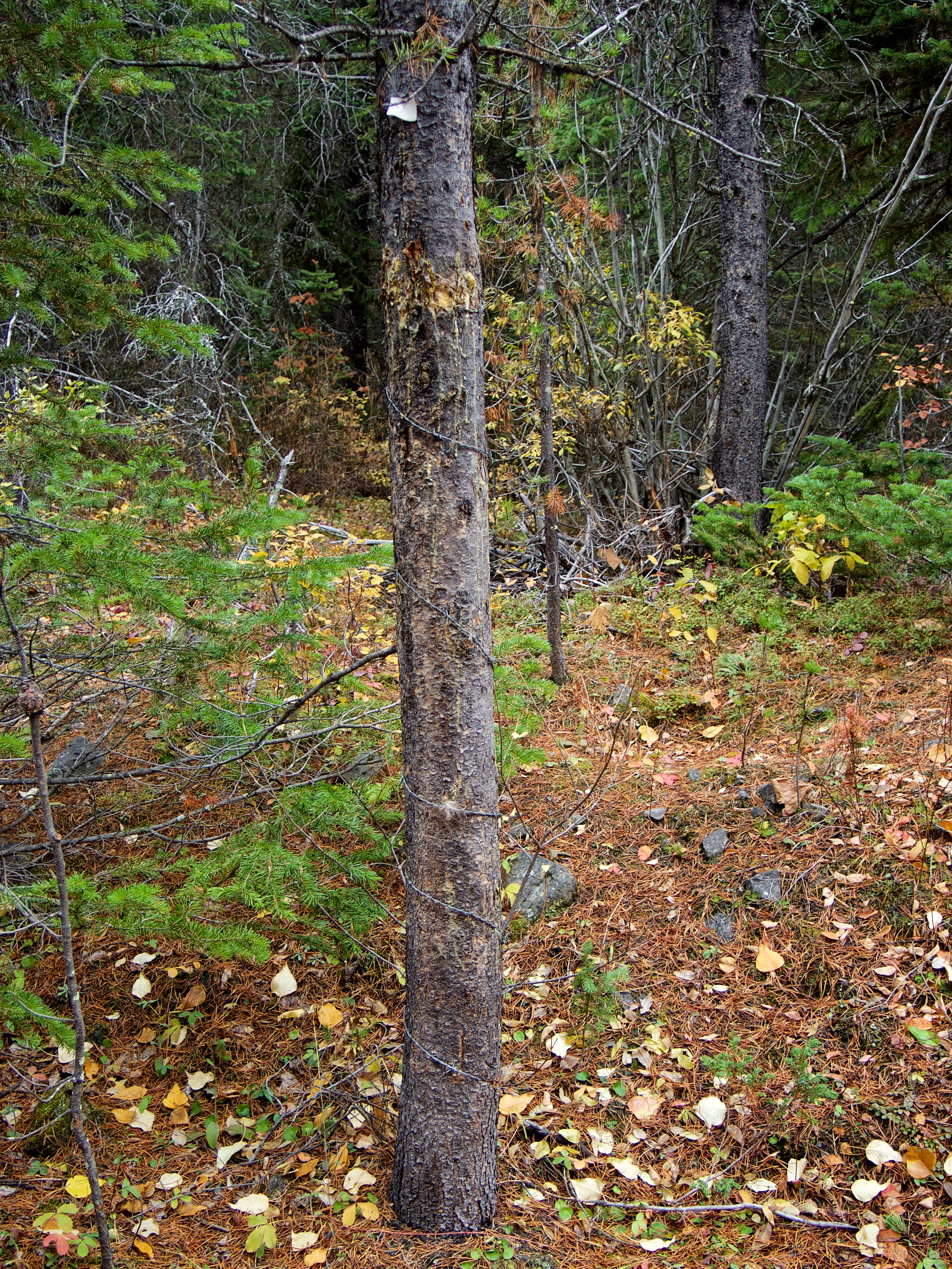
We came across a DNA collection station next to the trail – that, or the trees are evolving a new form of defence. 😉

There were several different tufts of hair at varying heights. This one looked to be canine.
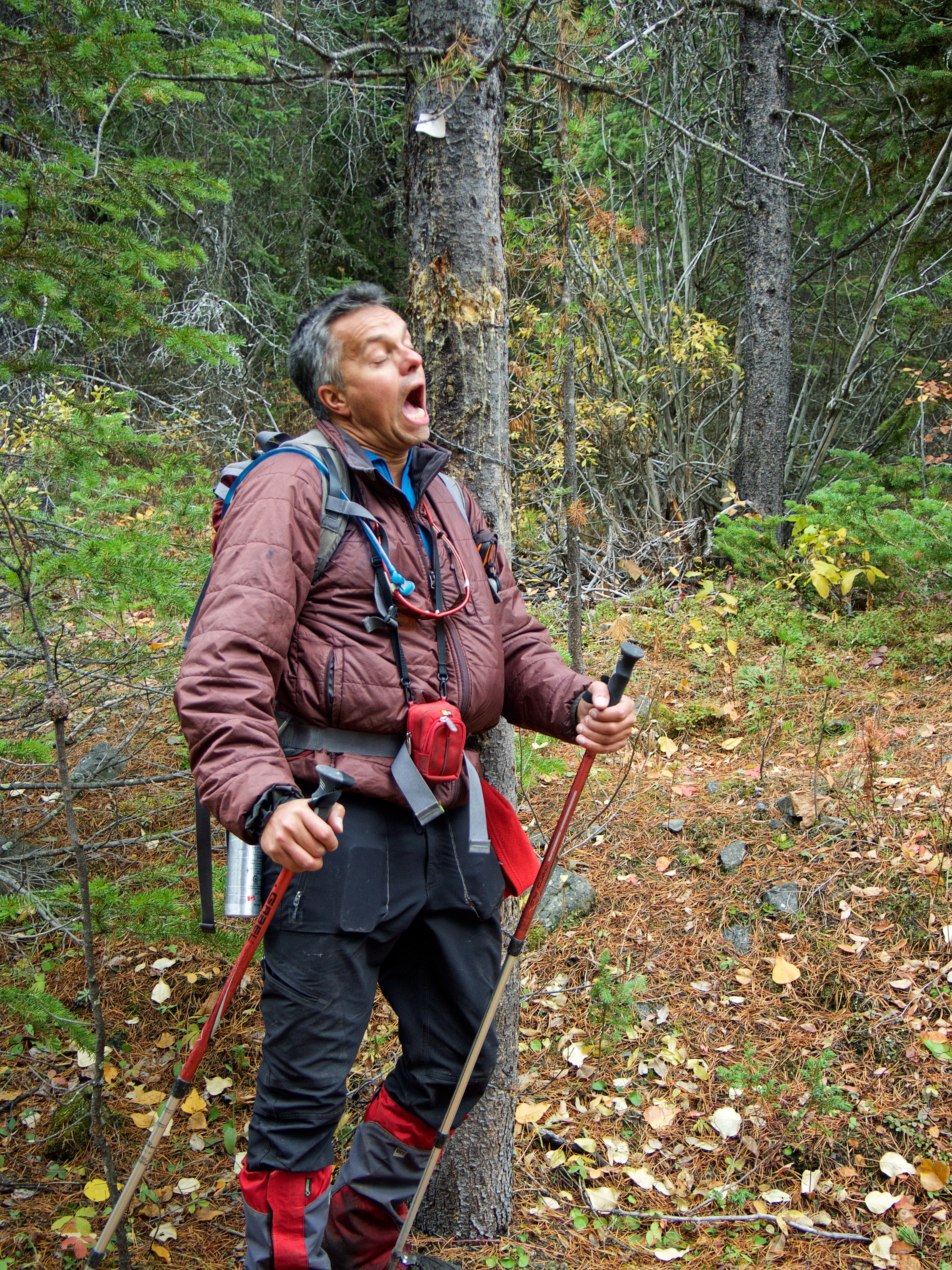
Andrew decides to scratch an itch… 😉
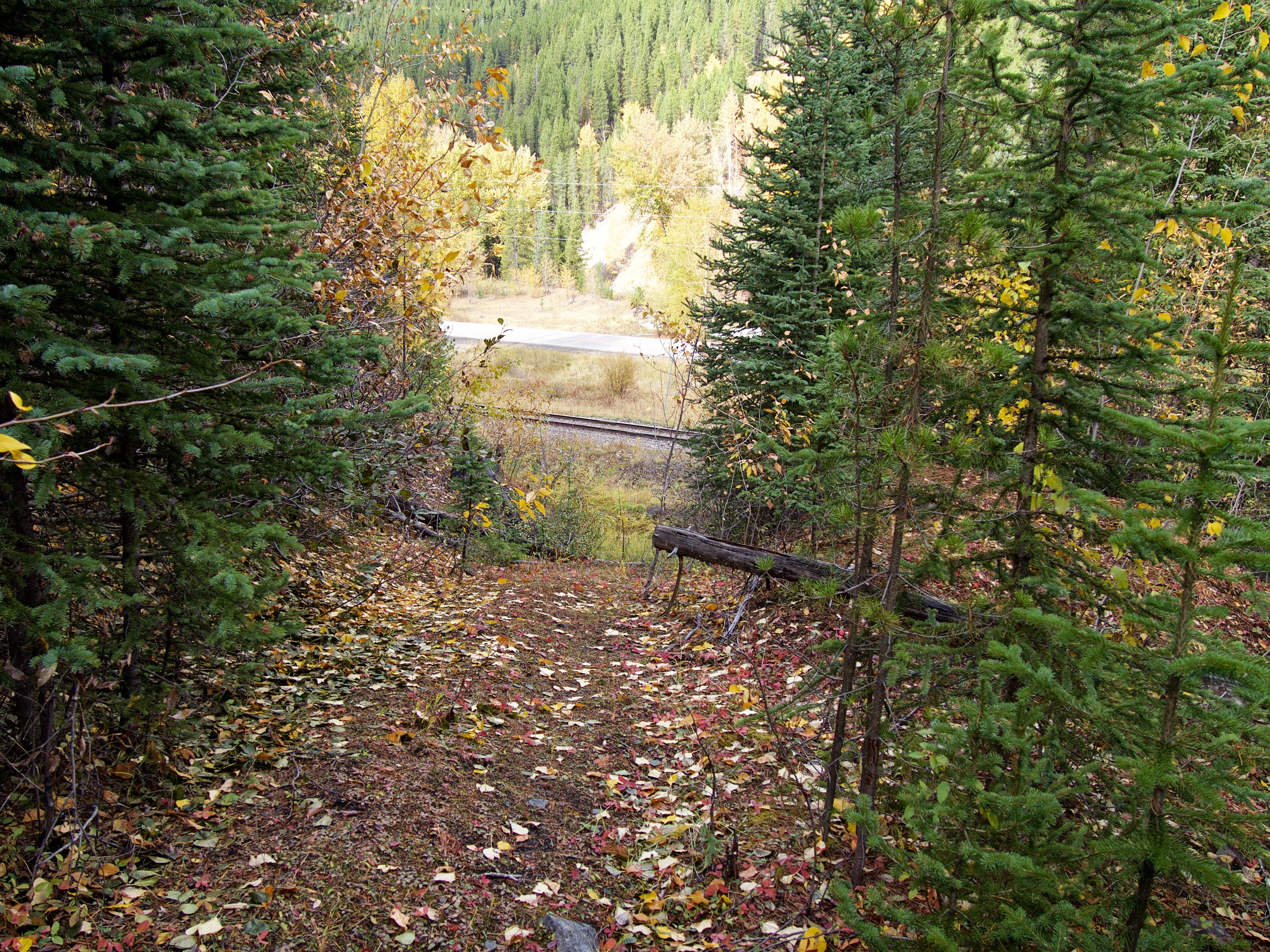
The trail pops out right next to the Corbin Road and if you weren’t looking for it, you’d drive right by.
We were super excited to think that we had found a local hiking trail that we could come back and use to reach both the lake and Michel Head. However, note the small side road going across the tracks on the left…

…this is the start of the newly constructed logging road and it is marked by a private property sign. For the record, this is the only such sign that we saw anywhere, but it means that we will now have to find another way to reach Michel Head.
Heading back towards Mount Taylor.
I’ll say it again… it was a gorgeous fall day! Our ascent route went up the skyline ridge on the right, while my 2016 snowshoe attempt went up the ridge in the centre.

Arriving back at my 4Runner.
This was such a fun day! Not only was it great to get back and finally get to the top of Mount Taylor, but it was fantastic to once again share a mountain with Andrew. I’m really looking forward to coming back and exploring Michel Ridge, including Michel Head and further to the south, Barnes Peak and Barnes Lake. If someone wanted to do this trip in reverse, it looked like there was an old logging road in the intervening valley between the southeast ridge and the summit that could be used for ascent. You could then enjoy the ridge walk to the summit, before making a quick descent to your vehicle using our ascent route. Happy Thanksgiving everyone!
Great report!
It looks like a really nice place with some beautiful landscapes.
Also, very nice to see the photo that shows Mount McGladrey and Mount Pengelly.
Well done, and thanks for sharing!
Thanks! It’s very cool to have hiking connections in Greece! 🙂 I was hoping to get up McGladrey this fall but I may have run out of time weather-wise… Have you been to the area before?
Hi Dave,
unfortunately, I have never been hiking from that side of the bowl. Though, I really enjoy seeing the experiences other people (like you) are sharing with the rest of the world.
Of course, at certain point, I will hopefully visit your country in order to experience the great nature over there.
Well if you do come for a visit, I’m sure there are many of us who would be glad to share a mountain with you.