

⚠️ Hiking and scrambling are inherently dangerous activities. Please read my Disclaimer. ⚠️
Finally! After months of enduring terrible weather, it turns out that all I had to do, was head into BC to find a glorious winter day. I wonder if the same would hold true if a guy wanted to find refuge from the current political climate in Alberta… 🤔
When Raff asked if I wanted to snowshoe to the old Natal Fire Lookout on the summit of Sparwood Ridge, I immediately queried as to which direction we would approach from. Ever since my trip to Loop Ridge in 2015, I’ve toyed with different approaches to the summit, plotting out routes from: Highway 3 on the east side (including Mike Potter’s route from Fire Lookout Hikes in the Canadian Rockies); a logging road from the south; and two routes from the west.
To be honest, I’d done a lot of planning, but it was never high enough on my list to actually get to because, well… I’m not sure. 😂 Indeed, the last serious thought of tackling it was in 2019 when I thought about using the southern route, only to discover that a resource company had put up a ‘No Access’ sign at the entrance to the road. This sign also crushed my hopes for Hosmer Ridge, but I’ve since discovered an alternate that just might work…
Anyway – and I’m not sure how I missed noticing – but in the intervening time, some fantastic people from Calgary journeyed to the summit of Sparwood using a route from the west. Raff alerted me that Matthew Clay and his partner, Sandra, had joined Alison Sekera in summiting the peak as a snowshoe in February 2021 – please read Matt’s trip report and Alison’s trip report, as they are excellent. Shortly thereafter, Vern Dewit, used the same route and so, please also read Vern’s trip report.
I love following in the footsteps of others because it makes my life SO much easier, and their route was very similar to one of the routes that I had thought about. However, their experiences along the way were far from optimal and based on their hard work and feedback to Raff (a special thanks to Alison), we decided to try a modified version of my other route from the west.
Indeed, my ideal west route was always to gain the northeast ridge via its open slopes that start immediately on the other side of Michel Creek, approximately 2 km from Highway 3. Once on the ridge proper, we would then follow it all the way to the summit, utilizing snowmobile trails and logging roads wherever possible. However, deep snow prevented us from driving down the short access road to banks of Michel Creek, let alone parking safely alongside the highway. So, we ended up very close to where Matt, Sandra, Allison, and Vern had started.
From here, we were still able to gain the northeast ridge and just as I had hoped, convenient logging roads and trails complemented our ascent. Close to the summit, we eventually joined the route of the others, and like them, experienced a scenic winter landscape and great views. Curiously, Mike Potter provides no history of the lookout itself other than to say it was named after the nearby village of Natal. (162) I will definitely have to do some digging in the local Galt Museum archives to see what I can turn up.
One of the great joys of hiking for me are all of the fantastic people that I get to meet and spend time with. Raff is one of these and I am super thankful for his friendship. I also met a new friend today, as Raff’s friend, Bert, joined us. Bert is an accomplished scrambler / hiker and though he wasn’t feeling his best on this particular outing, he gritted out this long and at times, grinding snowshoe. Well done Bert!
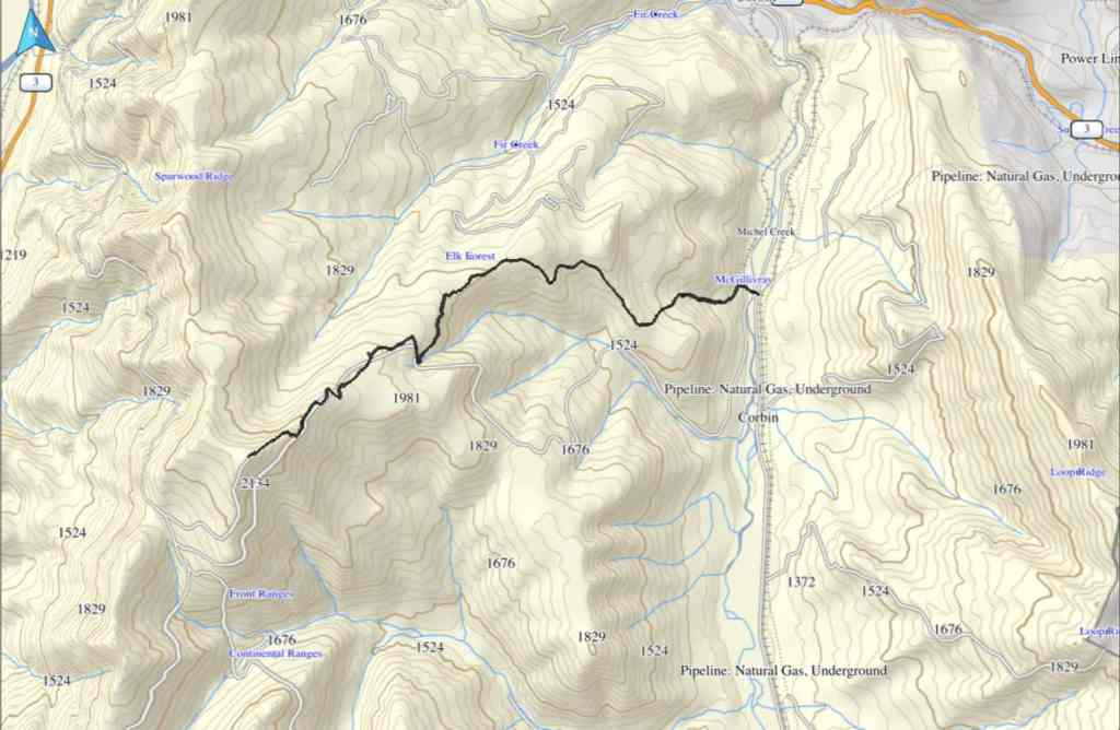
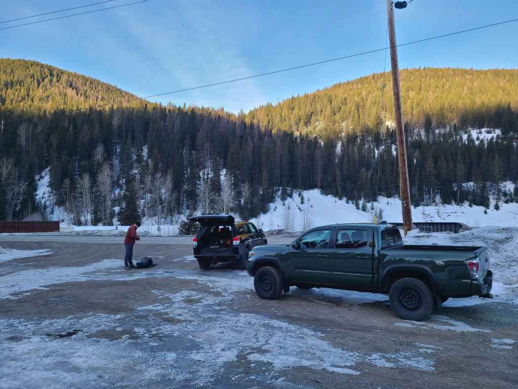
To get to the summit of Sparwood Ridge (a.k.a. the the Natal Fire Lookout ) we drove west on Highway 3 from the Crowsnest Pass until we came to the Corbin Road turnoff. We then turned onto the road and drove for another ~4 km until we came to a small parking area on our left between two sets of railway tracks. This was our starting point.
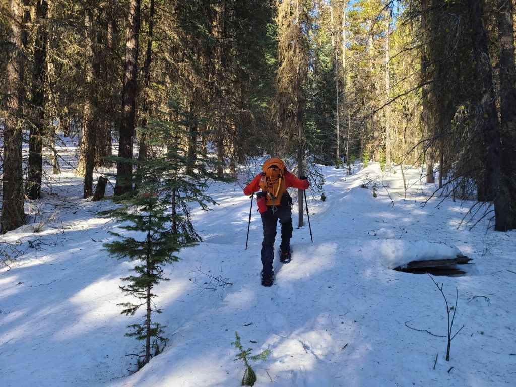
After crossing Michel Creek, we immediately headed into the trees where we followed a small drainage upwards for ~2 km until we emerged onto a reforested area. We then snowshoed for another ~ 185 m, until we emerged onto a logging road that also doubles as a snowmobile route. Instead of following the road, we continued across it and re-entered the new growth forest, trending climber’s right for ~280 until we joined an offshoot of the first logging road. Doing this shaved close to 1 km off the trip.
We then followed the road for ~1.2 km onto the northeast ridge. Though the road ends before reaching the crest, we were able to make quick work of the ~500 m snowshoe over to the crest itself. From here, we then followed the ridge through light forest for ~560 m, until we came to a flagged snowmobile trail.
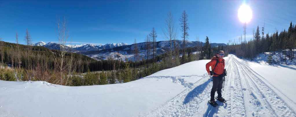
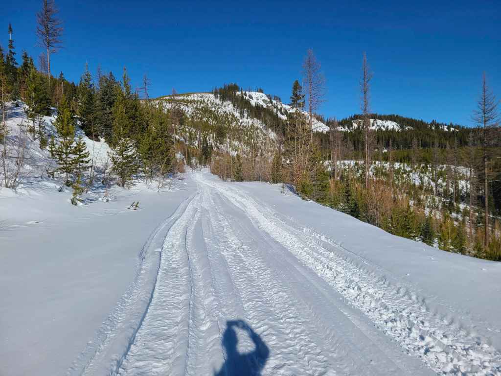
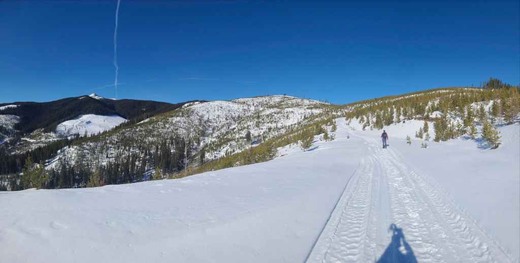
We then followed this trail as it led us up and alongside the east side of the ridge. Approximately ~850 m from where we joined it on the ridge, the trail intersected with a larger road. Here, we turned right and onto the road which we would follow for ~ 2 km until it completely disappeared under deep snow beneath the summit.
As soon as the road disappeared, we hiked a steep slope until we were on the crest of the ridge and facing the summit. Another steep (avalanche possibility), but scenic snowshoe of ~350 m brought us onto the summit. We then returned the way we came and because it was almost entirely downhill, it went very quick.
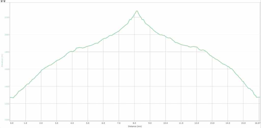
Our total distance travelled was 16 km with a total elevation gain of 1043 m. Our total roundtrip time came in at 9 hours and 6 minutes.
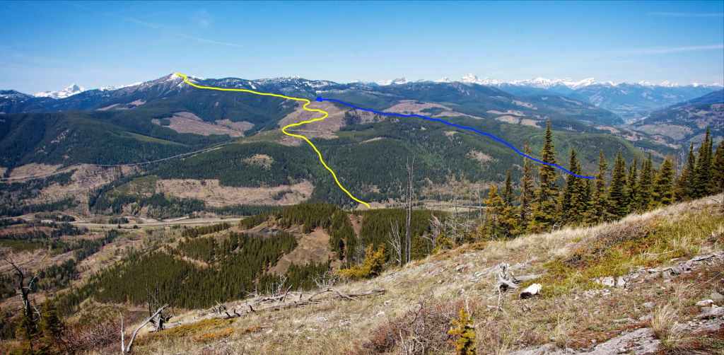
The yellow track is an approximation of the modified northeast ridge route that we used today, and the blue is my original route that starts approximately 2 km from Highway 3. Quite frankly, it’s probably six of one, half-dozen of the other as to which is better. Matt, Sandra, Alison, and Vern utilized an approach that began on the left side of the photo. Again, a huge thanks to the information they provided!
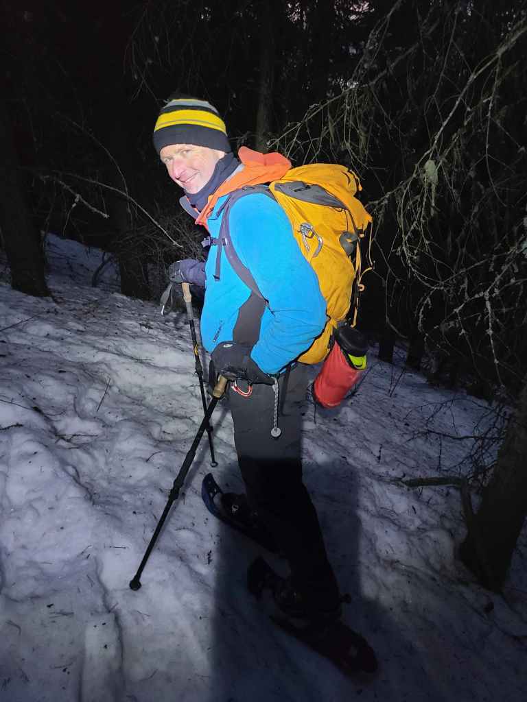
Gearing up alongside the Corbin Road. Our route would go up the short open slope in the centre.
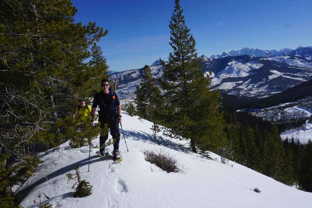
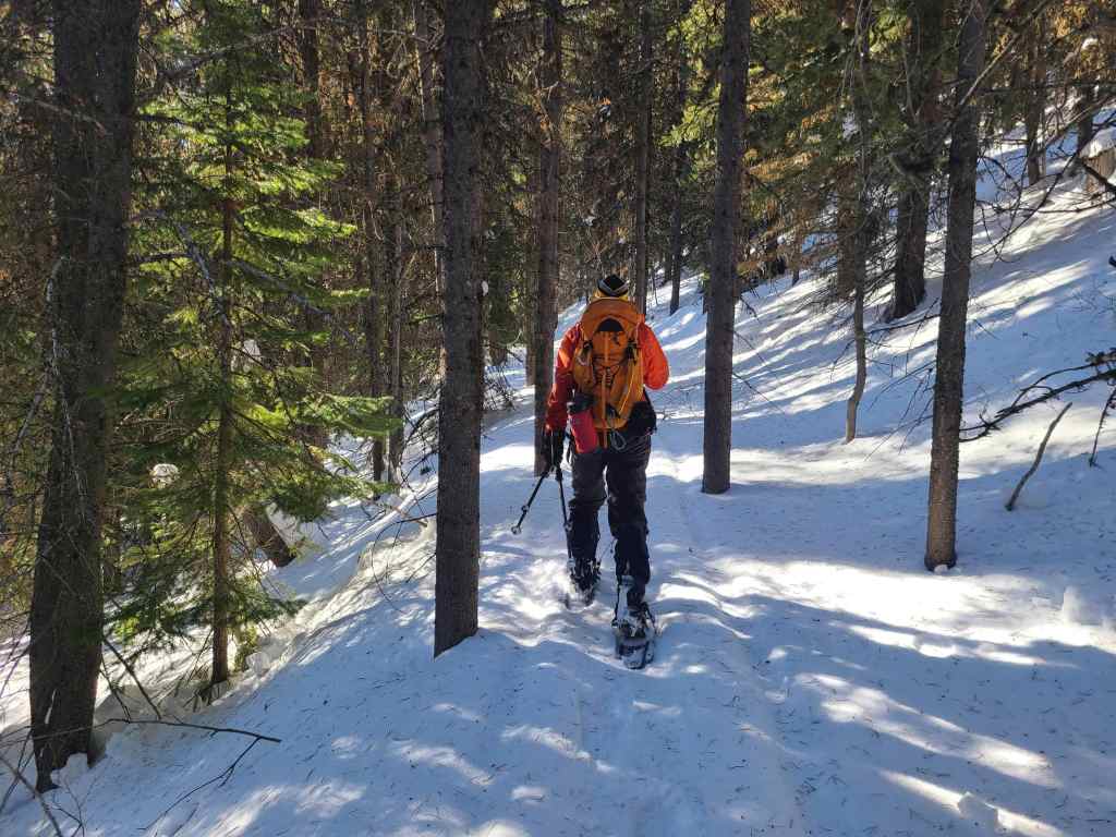
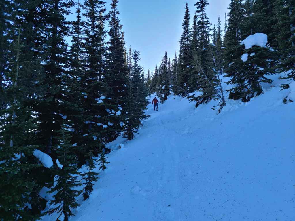
Raff leads the way as we begin the day.

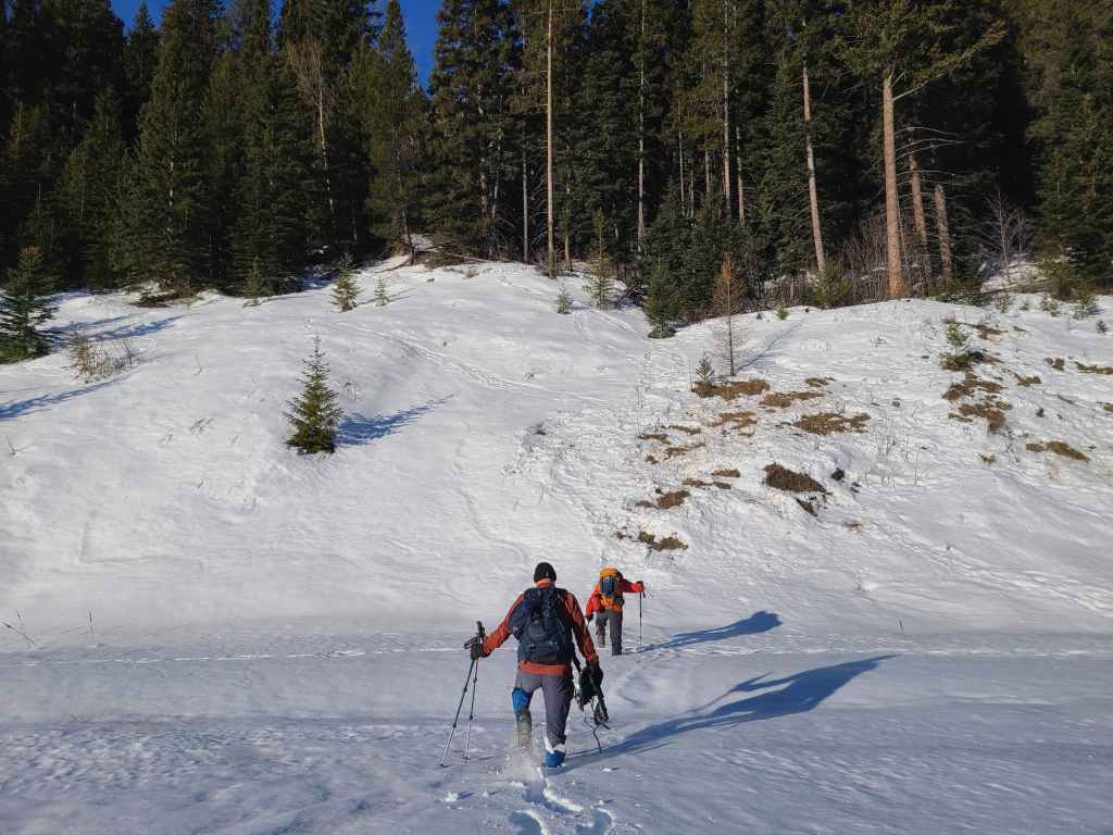
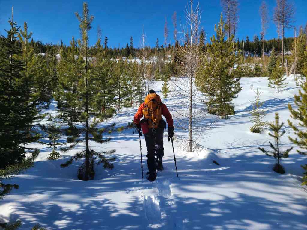
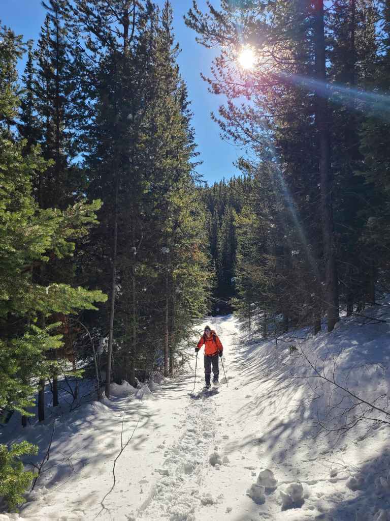
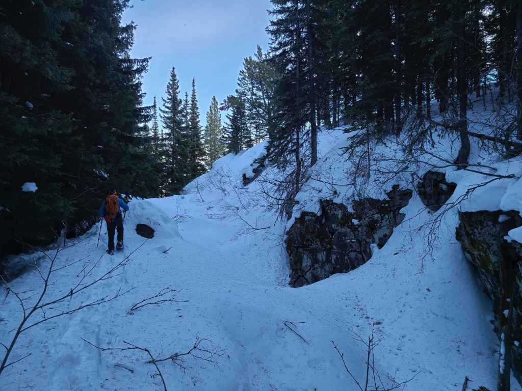
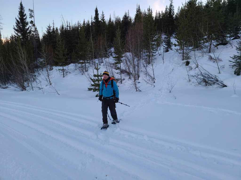
It wasn’t long before the snowshoes came out.

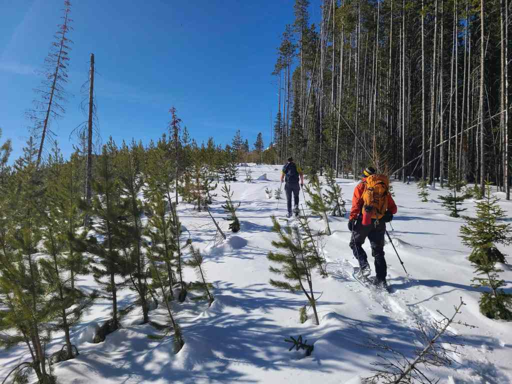
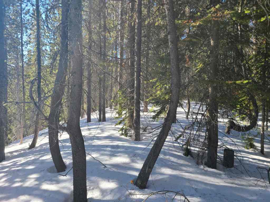
I couldn’t get over how tall and straight the fir trees were. I guess that’s why they’ve logged the mountain.
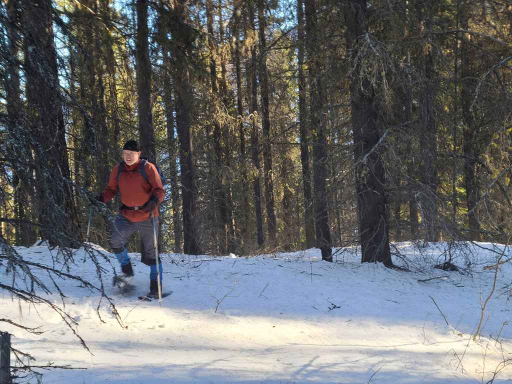
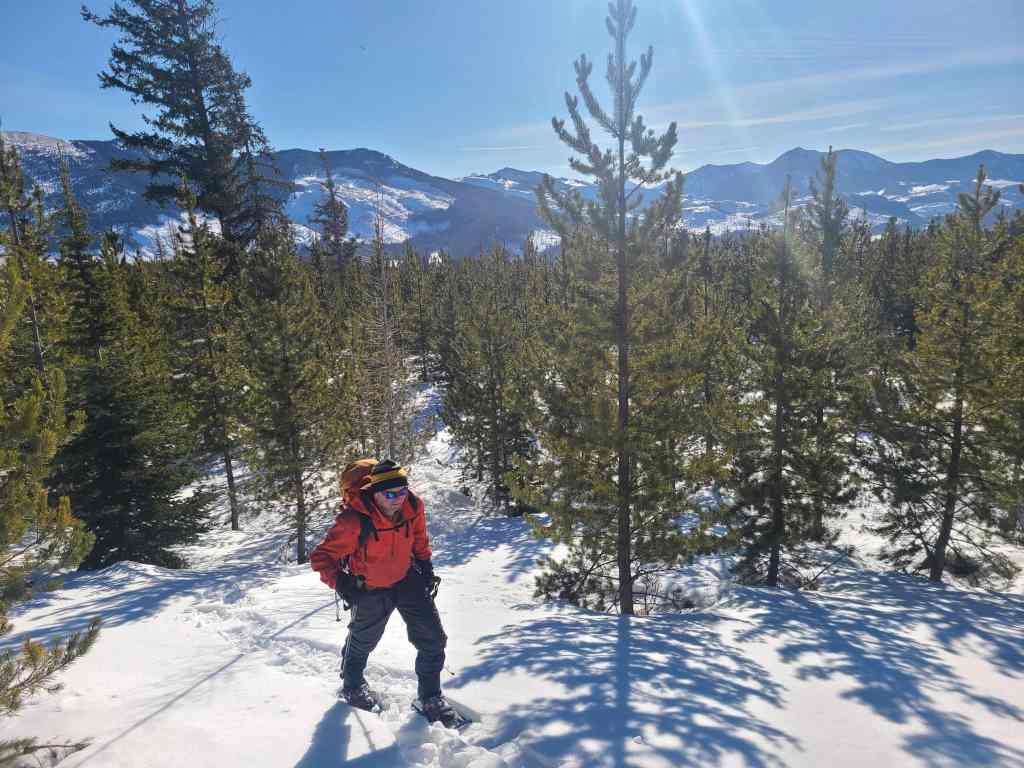
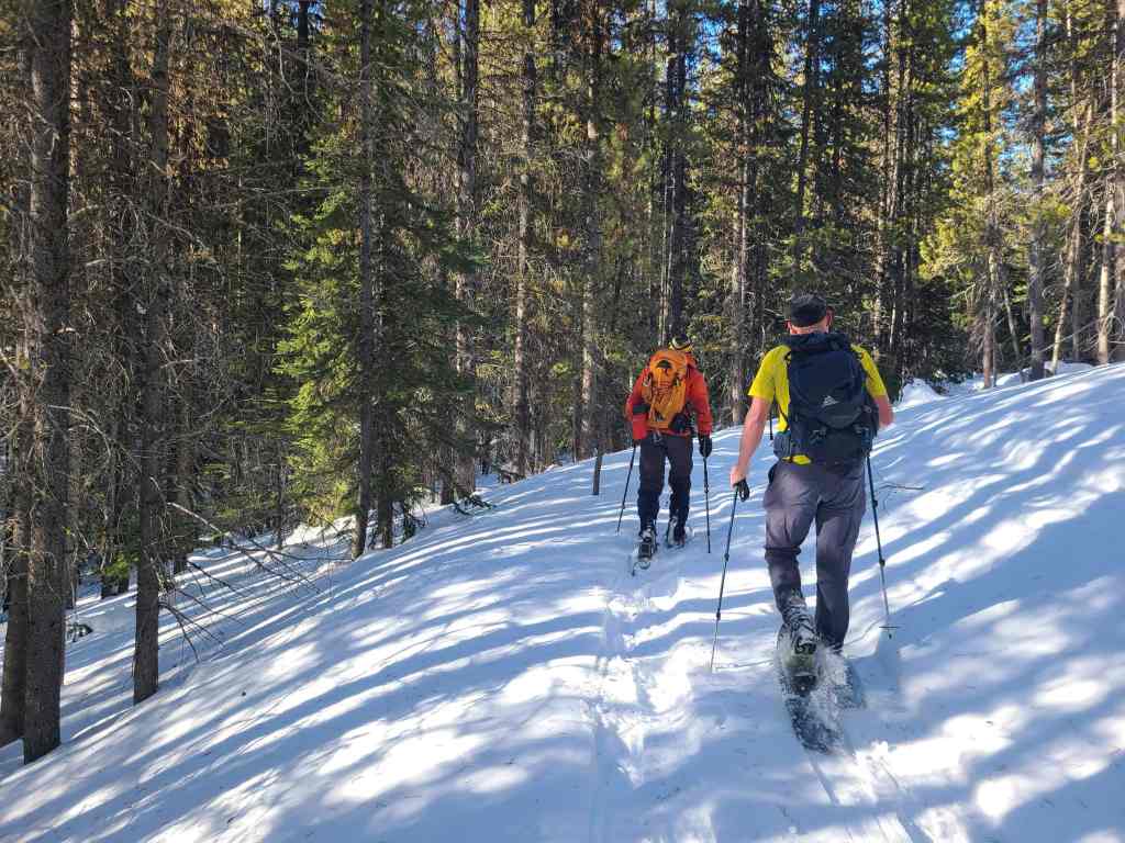
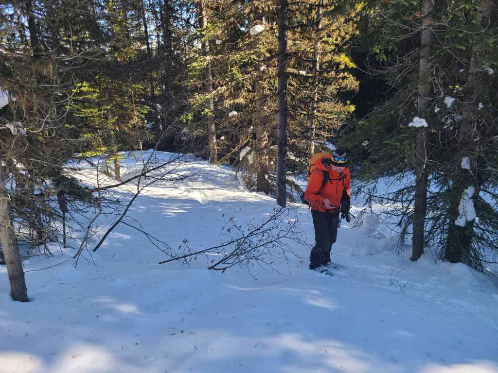
Bert enjoys the easy bushwhacking.
Thankfully, the consistency of the snow was ideal.
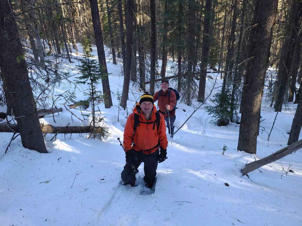
Enjoying lots of laughs and some great conversation.
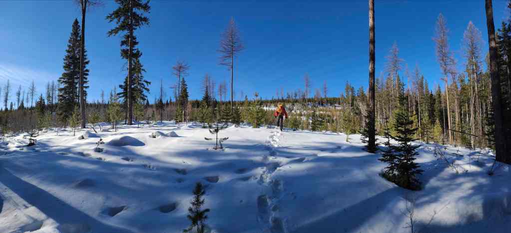
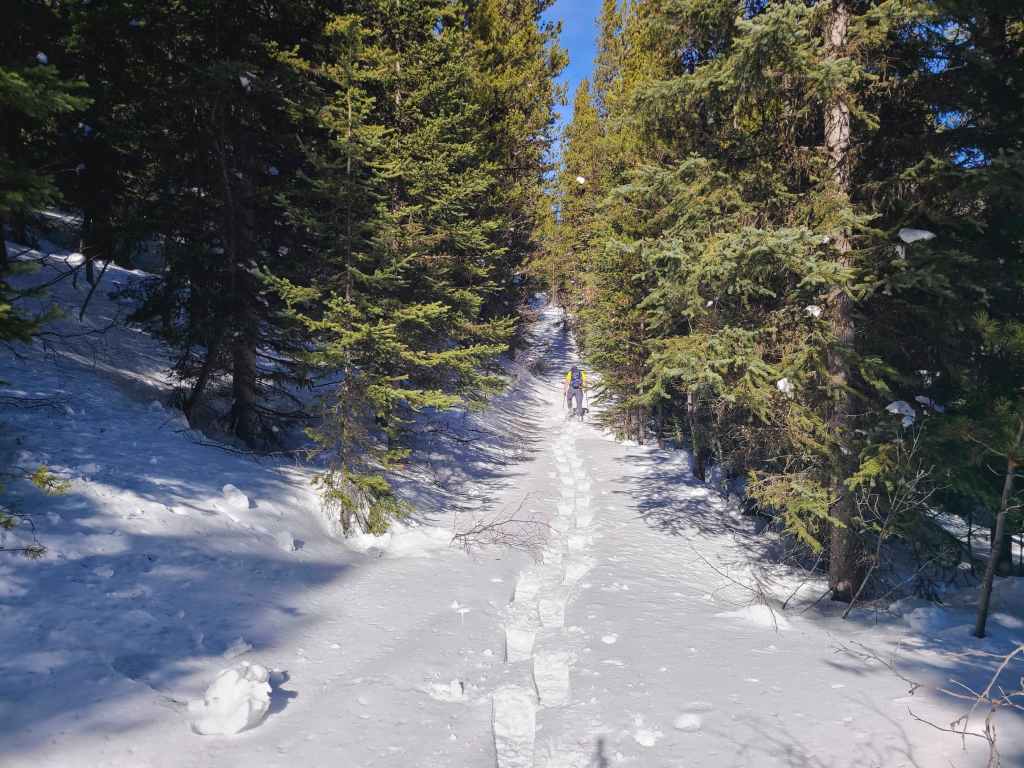
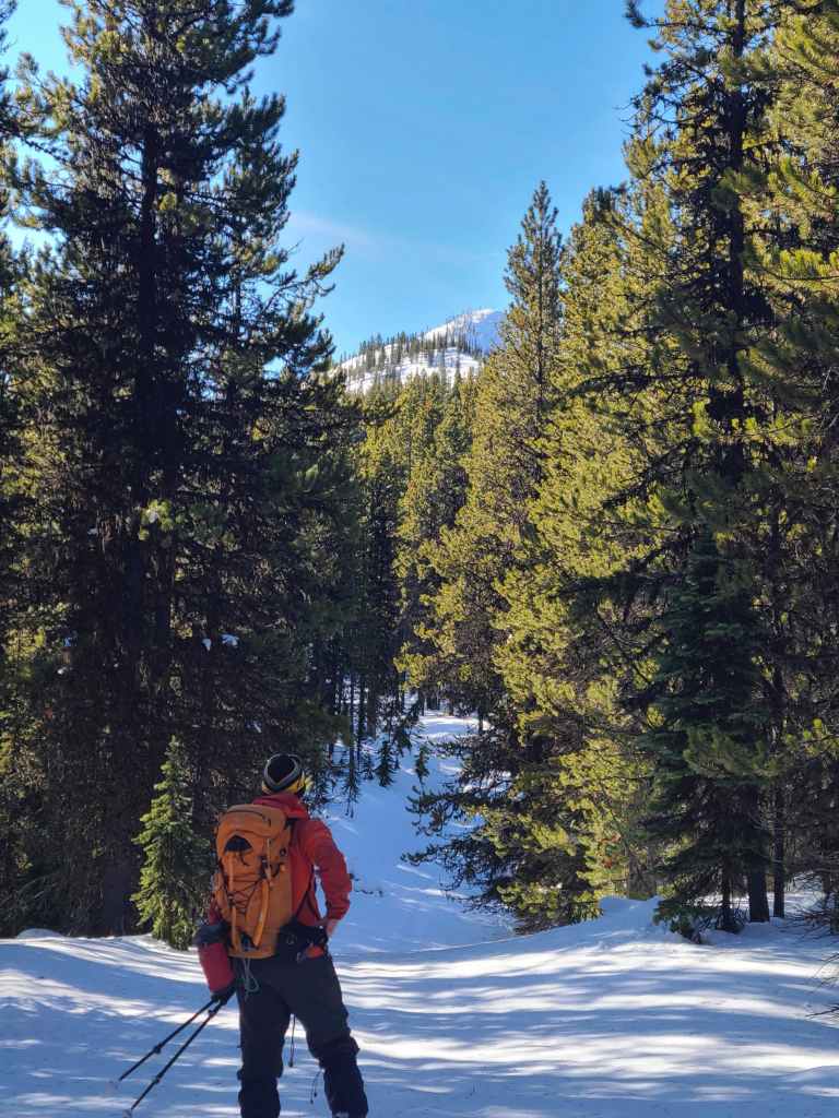
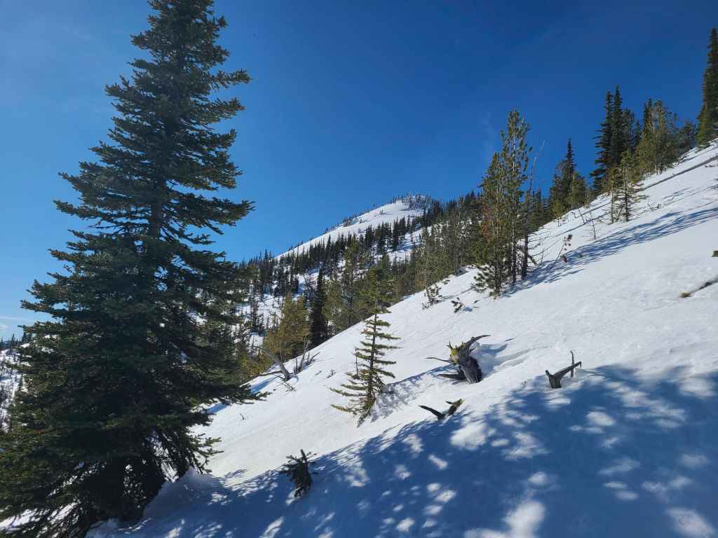
Approximately 2 km after starting, we emerged onto an open area of new growth.
Approaching the first logging road.

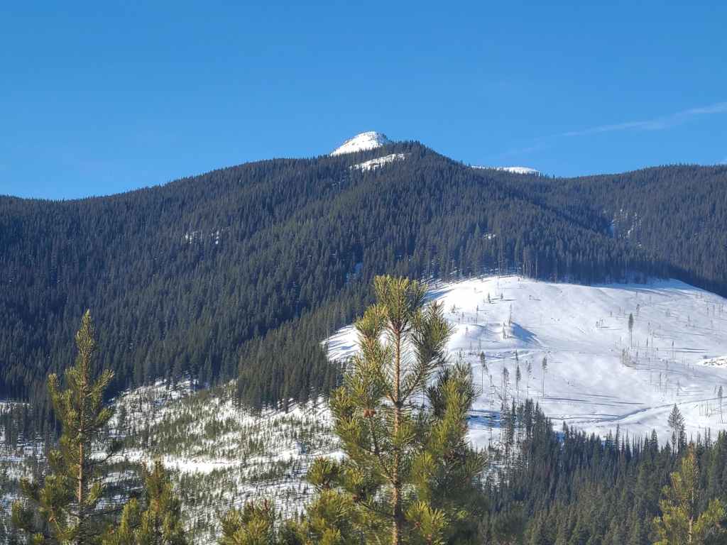
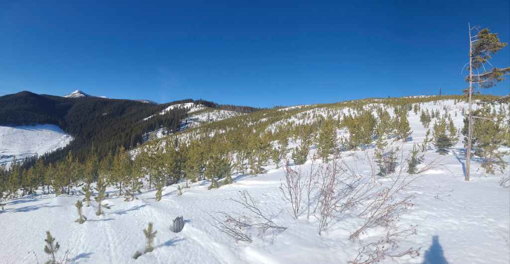
The first high point on the northeast ridge is on the right. Had we been able to use my original route, we would’ve found ourselves standing on top of it.
What an absolutely gorgeous day to be on a mountain!!
At this point, we weren’t sure if the road would swing back towards the west, so we decided to leave it and head towards another road that we could see on our GPS. In actuality, while this road continues to the north, the road that we will follow to the northeast ridge, joins this one several hundred metres away. However, by continuing through the trees, we cut almost a kilometre off of the trip.

Firm snow made our shortcut worthwhile. (Photo by Rafal Kazmierczak)
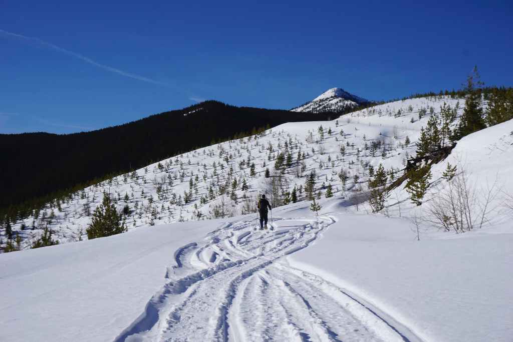
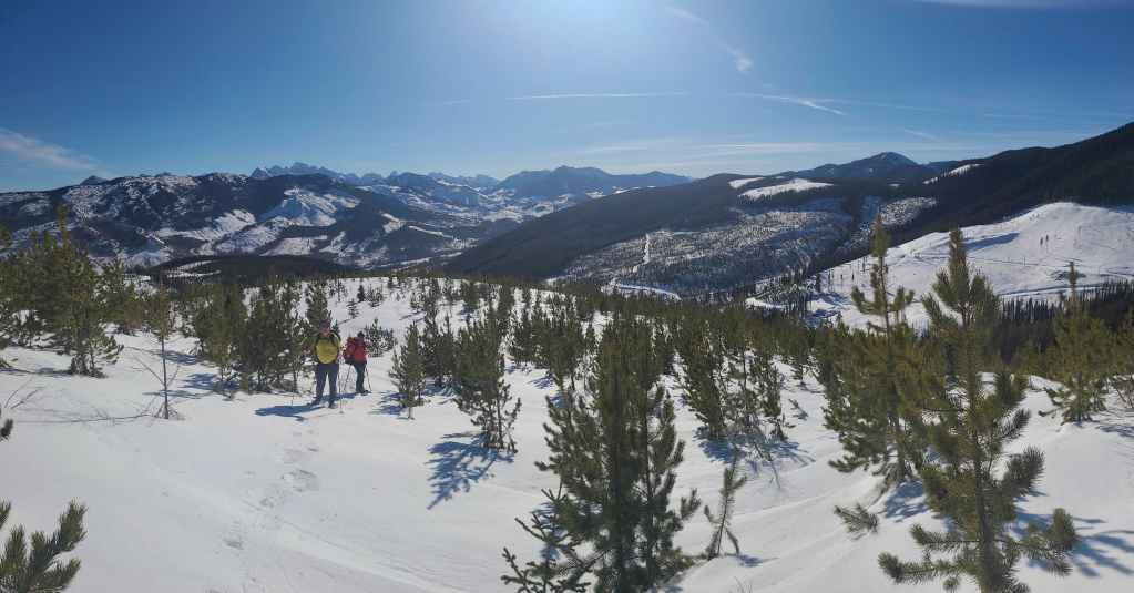
Our first good look at the summit.
Did I mention that it was an absolutely gorgeous day? After many recent trips under terrible wind conditions, it was a joy to finally have clear skies, a balmy temperature, and no wind. 😁
On the road with the summit (left of centre) still a long ways off. 😳
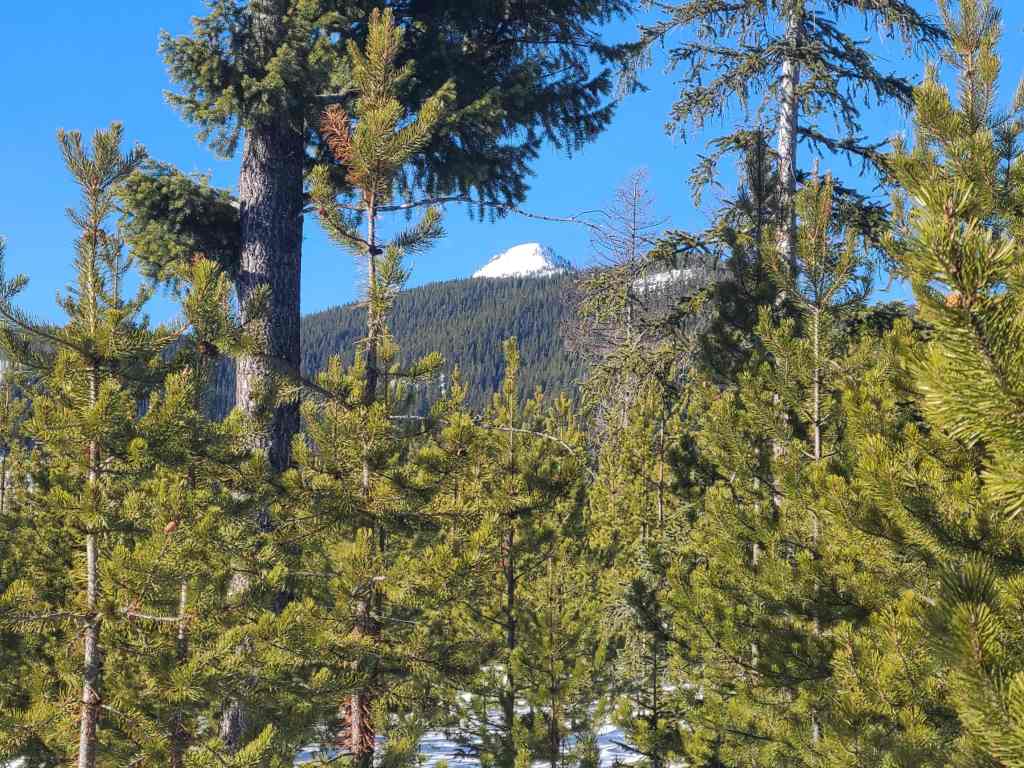
A telephoto of the summit.
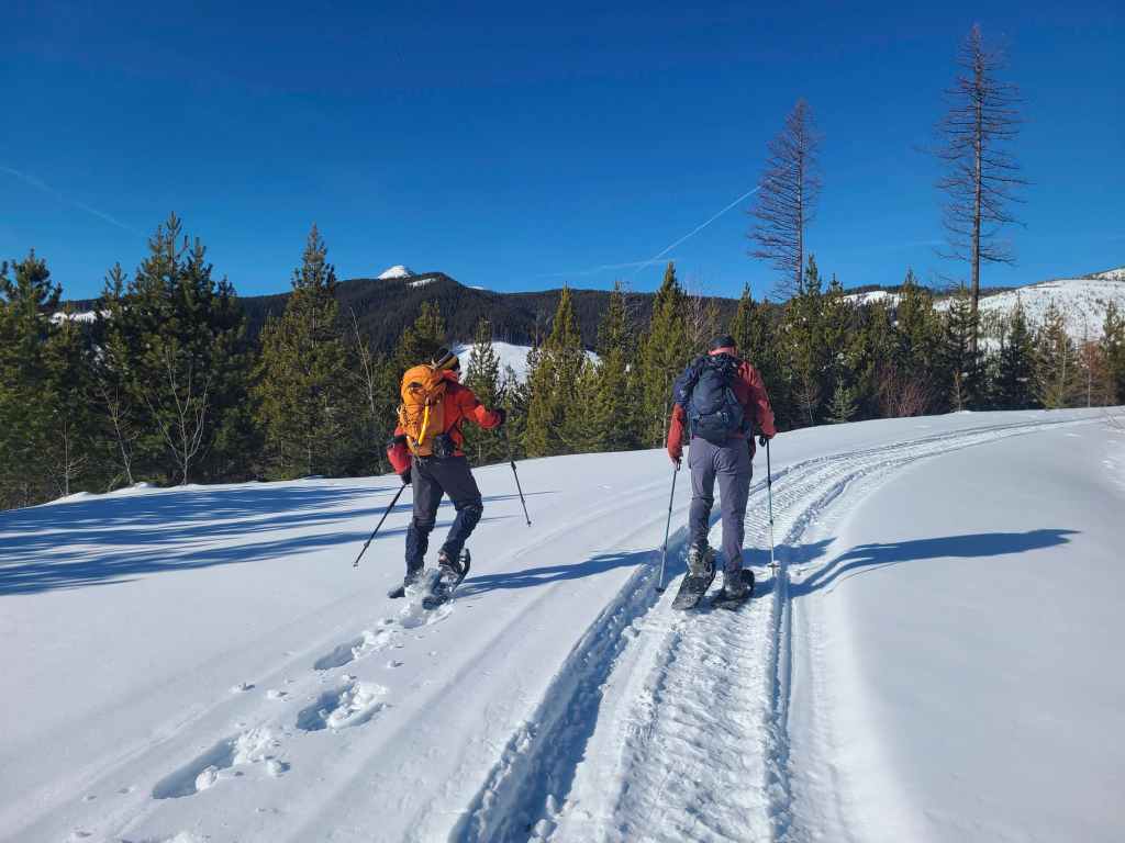
We would follow the road for ~1.2 km to reach the northeast ridge (centre).
Glancing back as we gain easy elevation.
A closer look at the upper section of the road. (Photo by Rafal Kazmierczak)
Mount Erickson in the background.

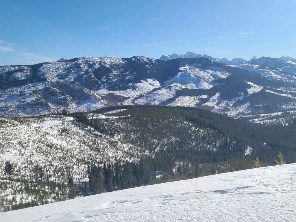
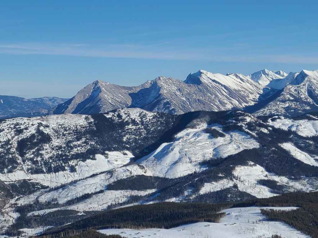
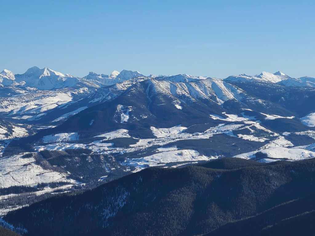
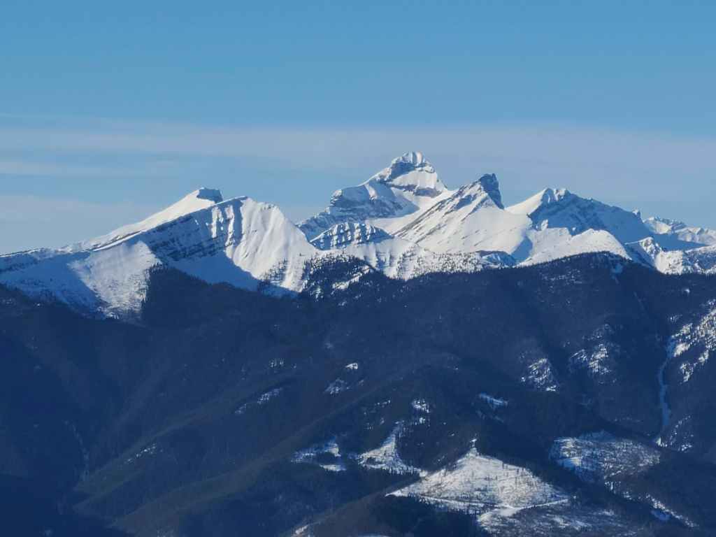
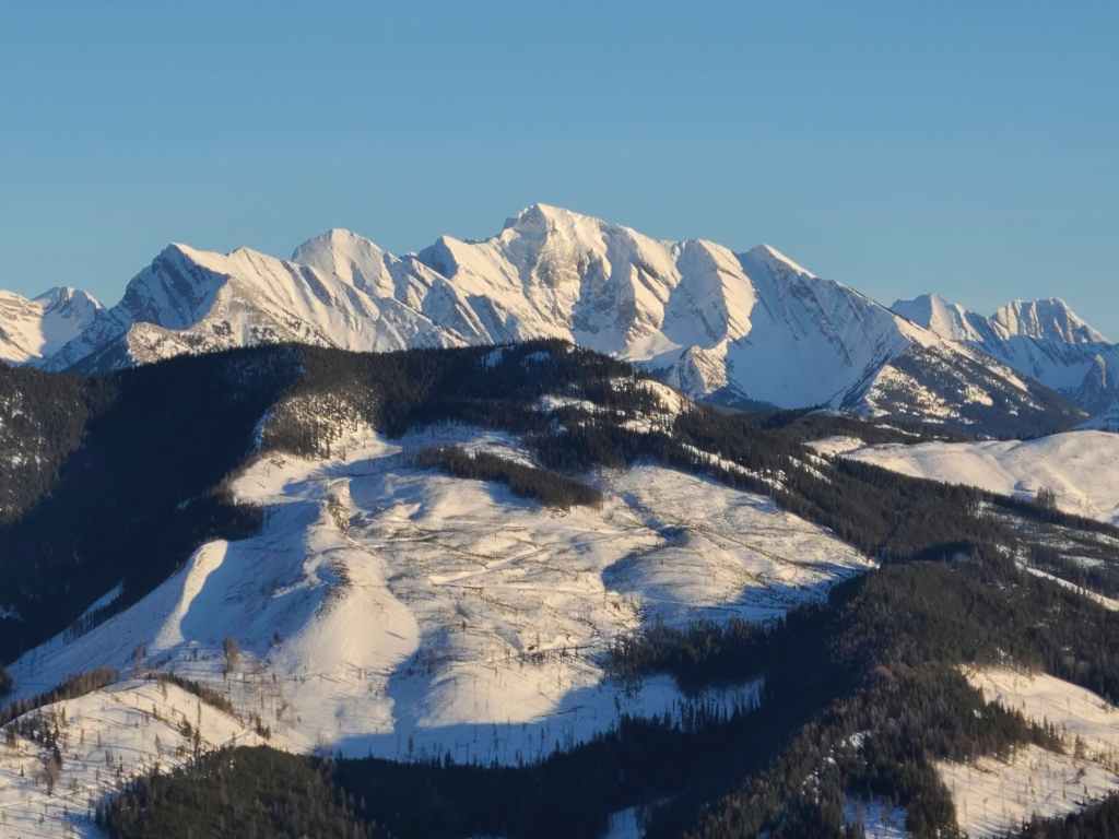
A good look at Phillipps Peak and Mount Tecumseh (both to the right of centre). On the left is “Shooting Star Peak” – an isolated and distinctive high point on the Tecumseh massif – followed by mighty, Omahkai’stoo (Crowsnest Mountain) on the far left.
The view across to Loop Ridge.
The end of the road – literally. 😂
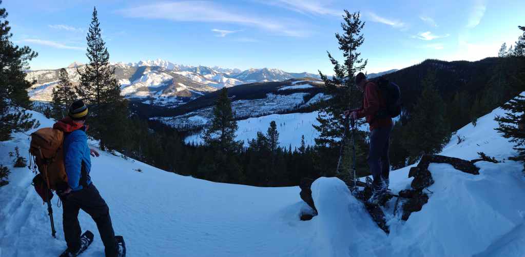
Raff takes time to enjoy the view.
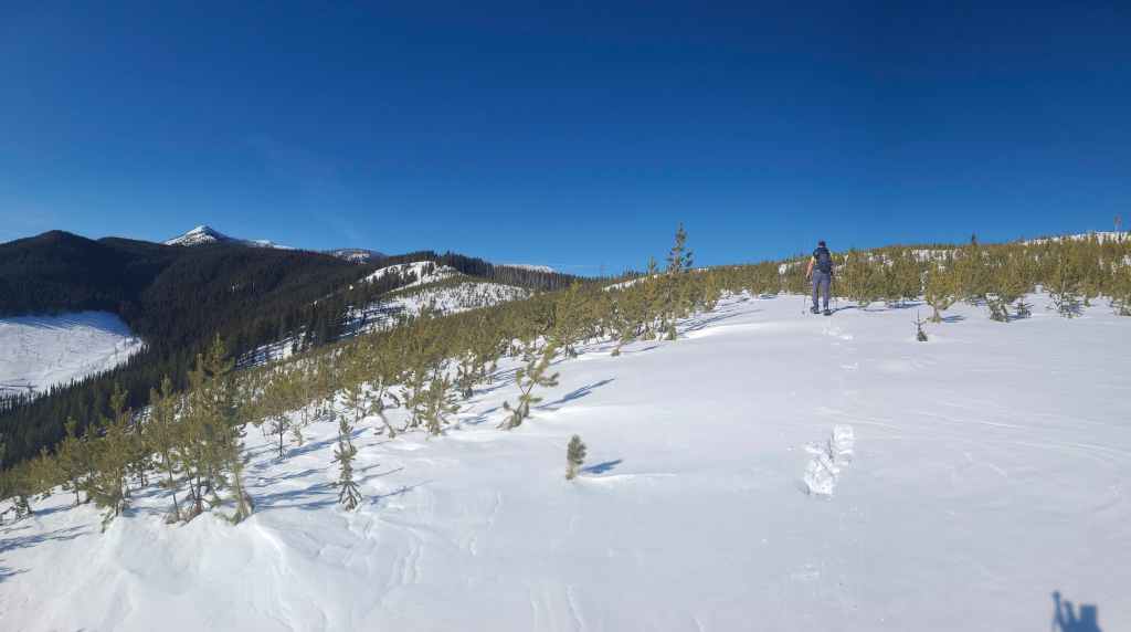
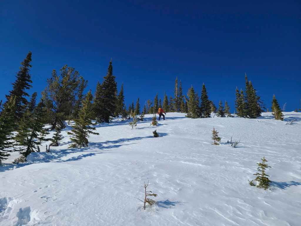
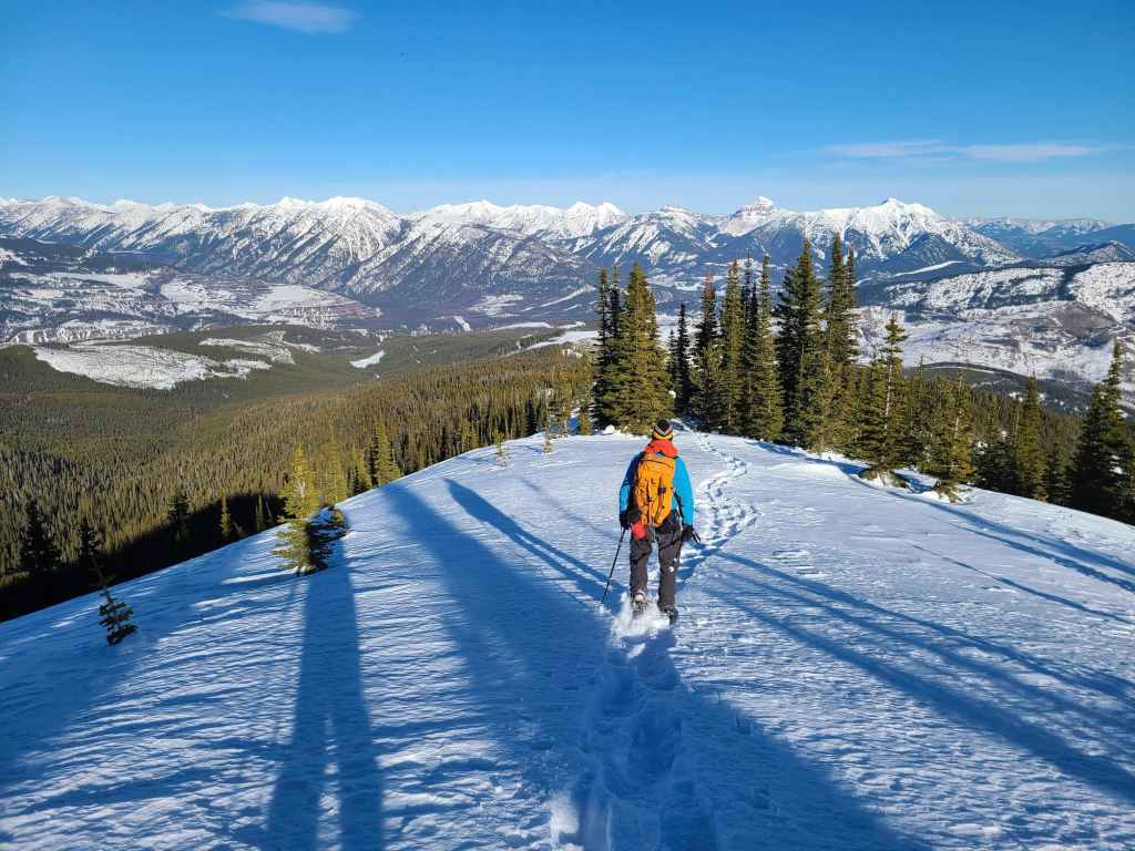
While Raff snaps some photos, Bert follows me onto the gradual slopes of the northeast ridge.
From here, we would traverse to the section of ridge in the centre.

T-shirt weather! (Photo by Rafal Kazmierczak)
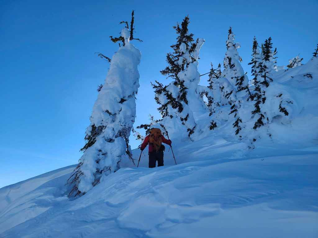
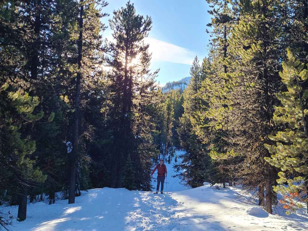
I have to say, I really enjoyed this section. 😁
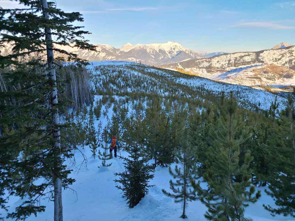
Bert leads the way, while the summit (left) remains far off in the distance.

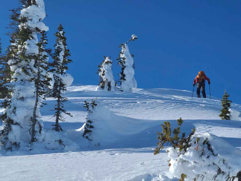
Arriving on the ridge crest.
Following the crest.

Bert enjoys lunch on a convenient bench.
Following the narrow ridge. (Photo by Rafal Kazmierczak)

When the snow became soft, we headed into the trees.
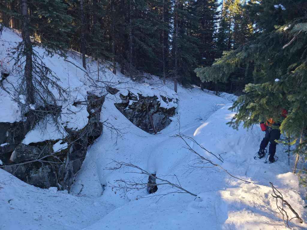
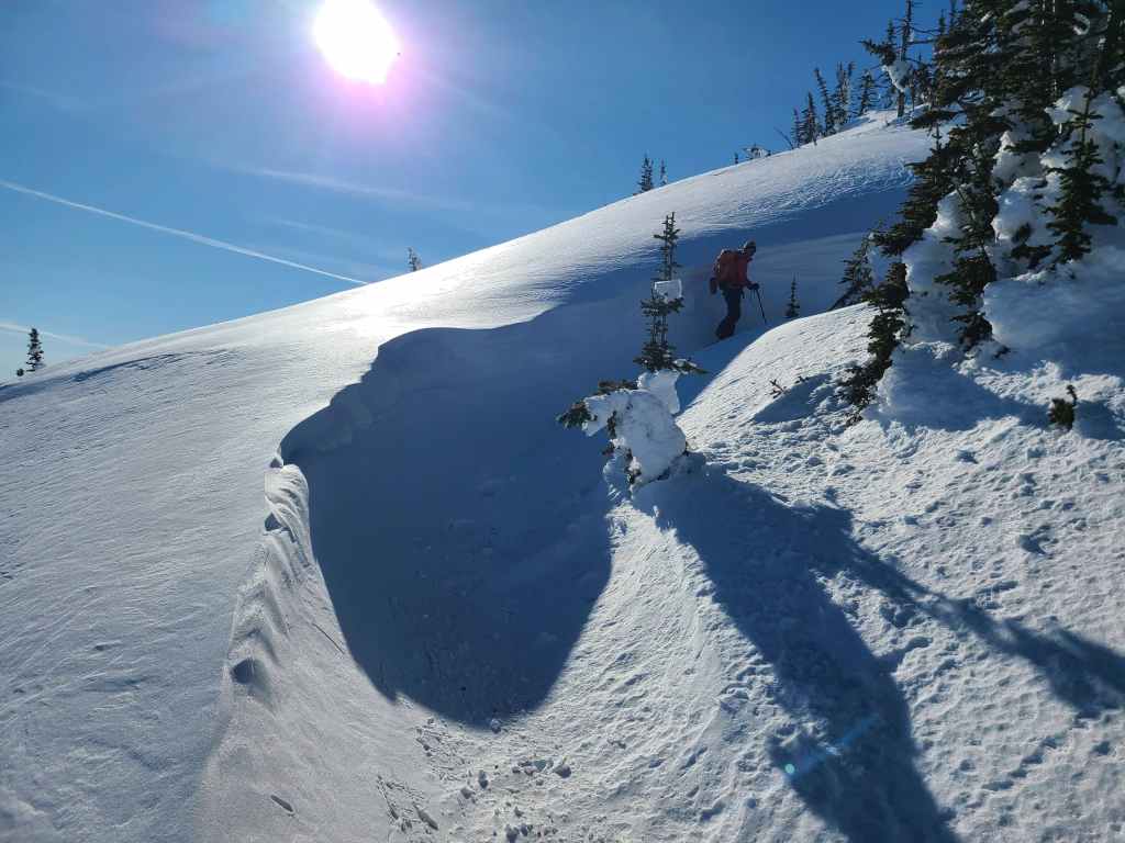
Passing an interesting depression.
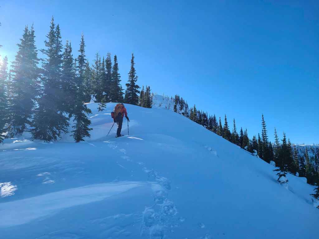
Back on the crest and into some light bushwhacking.

Approximately 560 m after starting along the ridge, we came to a snowmobile trail.
Raff leads the way as we follow the narrow trail.
The trail led us up, and along the east side of the ridge.
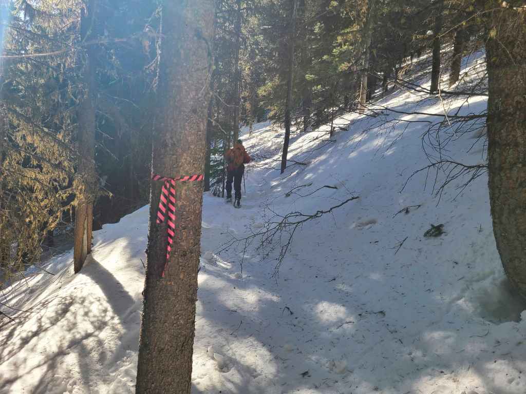
The trail was well-marked with flagging tape.
Raff checks his GPS as we arrive on the road that will lead us towards the summit. For reference, we followed the snowmobile trail for ~850 m.
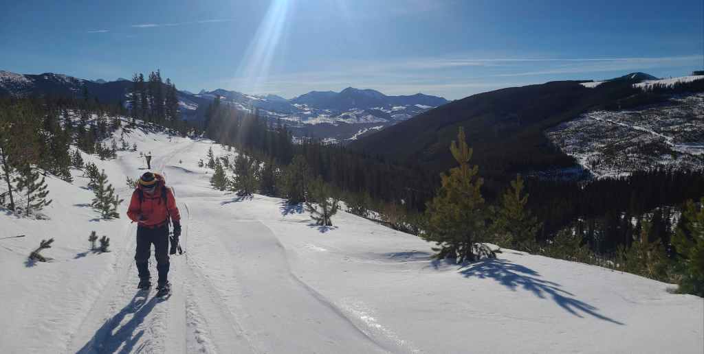
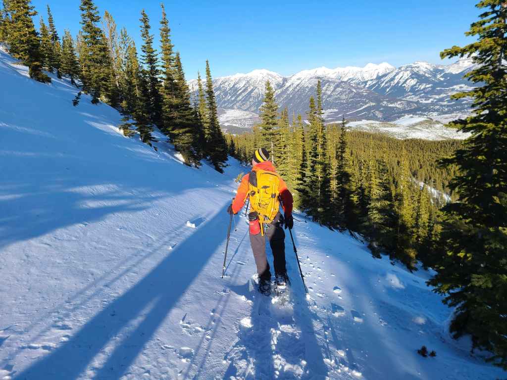
Bert breaks trail as we start along the road. We would follow it for ~2 km until it became obfuscated by deep snow near the summit.
Looking back shortly after starting along the road.

The grade was nice for the first 1.5 km or so.
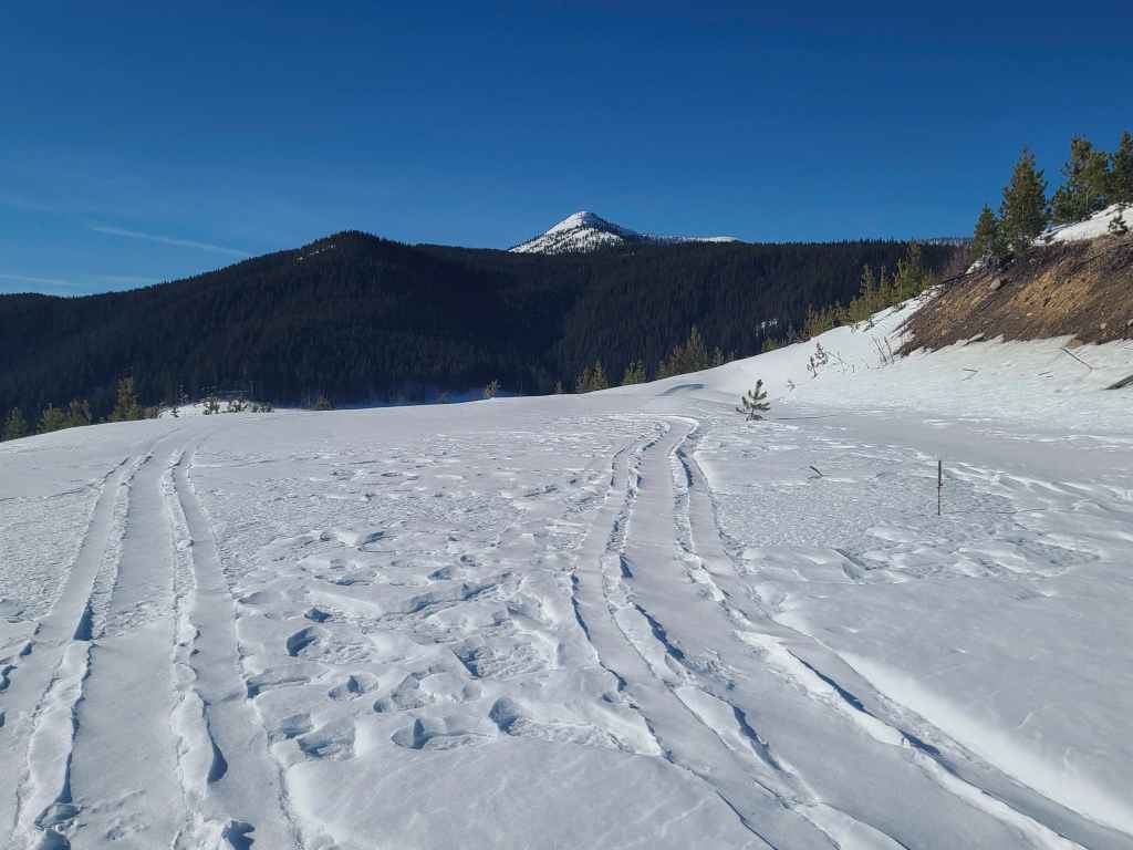
Our first view of the summit since we started on the snowmobile trail. Thankfully, it looked much closer!
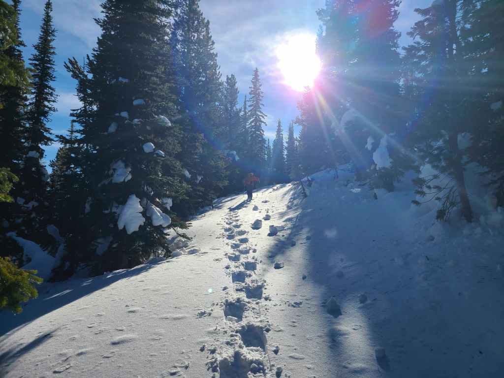
The grade increased on the upper section of road. A HUGE thanks to Raff for breaking trail! 😁
A glimpse of the views to come.
Looking up at the summit from where the road completely disappears. It is somewhere underneath all that snow.
As it was pointless to try and follow the road, we headed directly up to the crest of the northeast ridge.

On the crest and looking towards the summit.
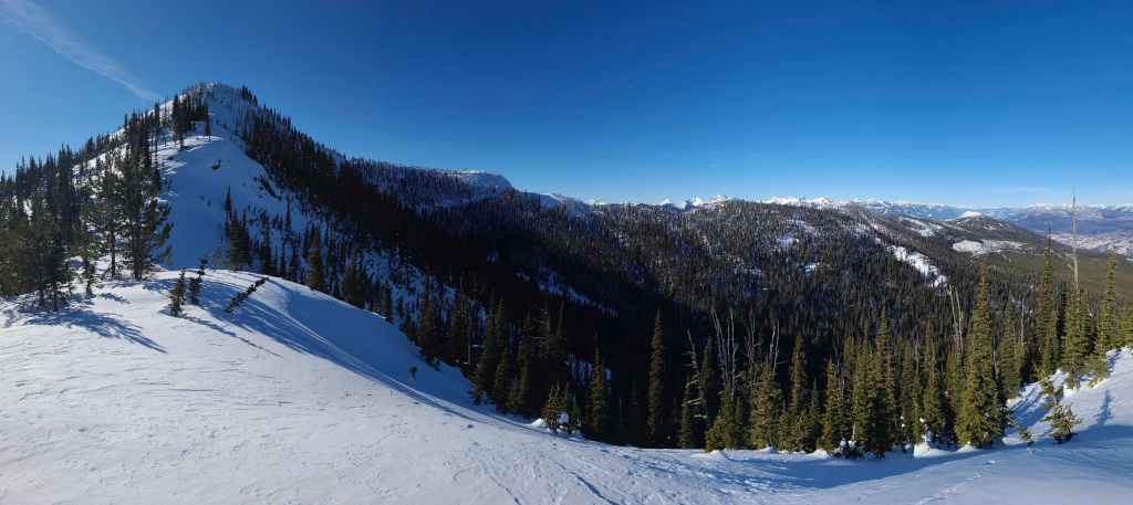
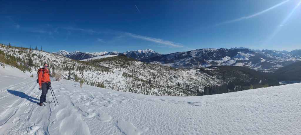
A wider view that encompasses the entirety of Sparwood Ridge.
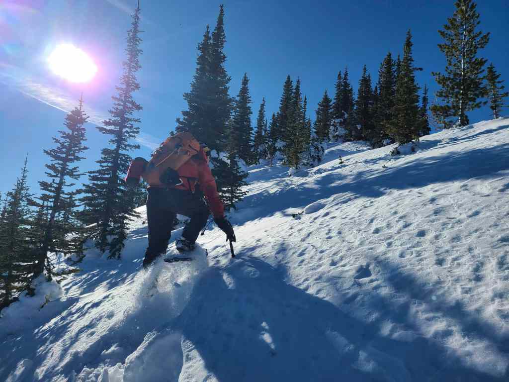
Raff channels his inner Brad, as he powers his way up the steep slope. 😂
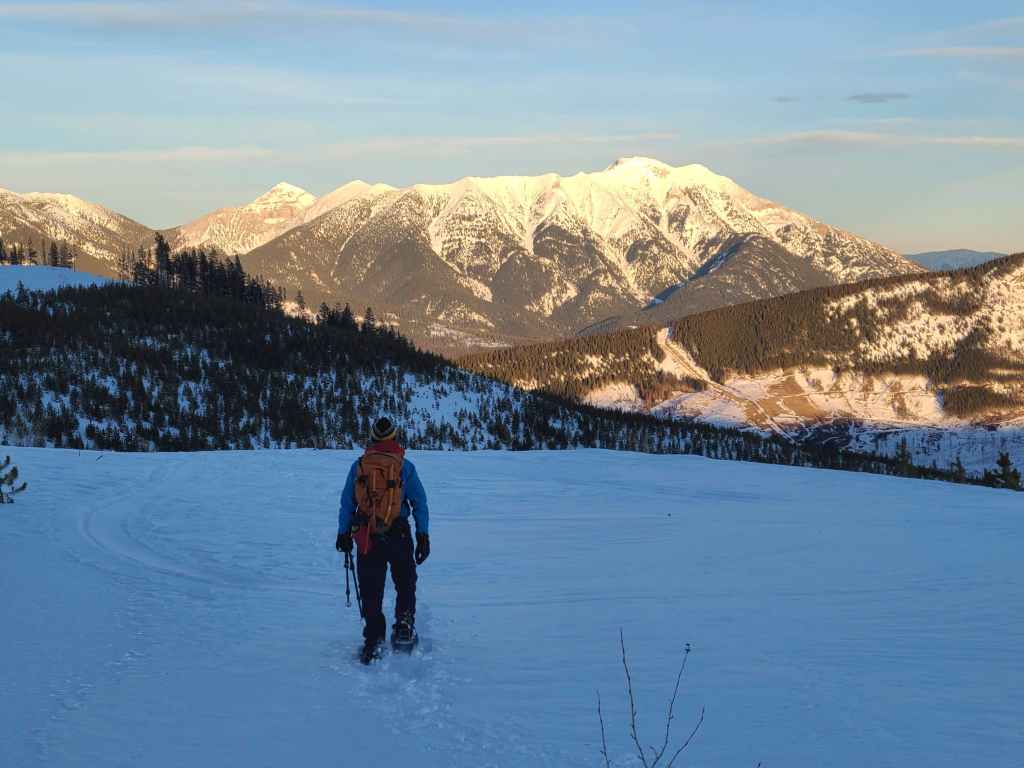
Thanks to Matt, Alison, and Vern, we knew that the views were better than what you’d expect, but they were still a pleasant surprise.

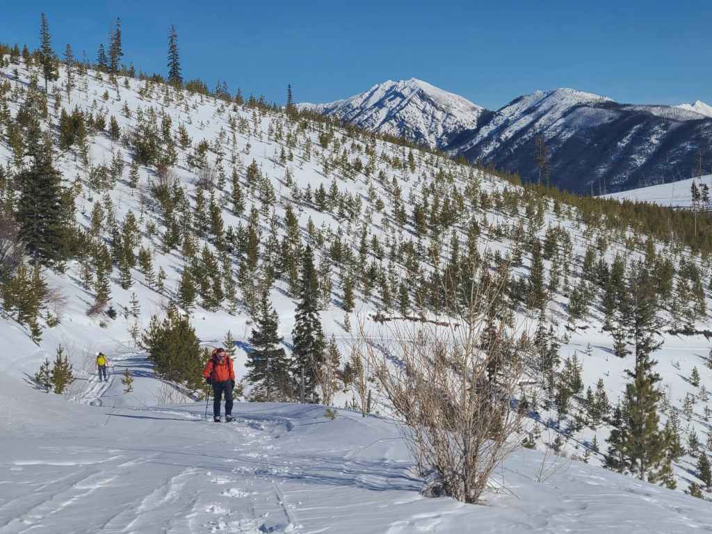
Raff and I pause to watch Bert, who was still a ways below us.
Raff continues to lead the way.
Super cool scenery!
Raff’s view back. (Photo by Rafal Kazmierczak)
Raff navigates a snow scoop.
Enjoying the winter landscape.

Raff’s perspective in the previous photo. Stunning! (Photo by Rafal Kazmierczak)
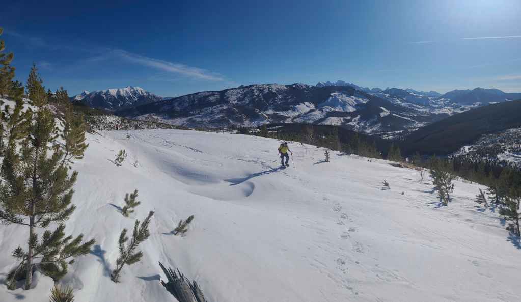
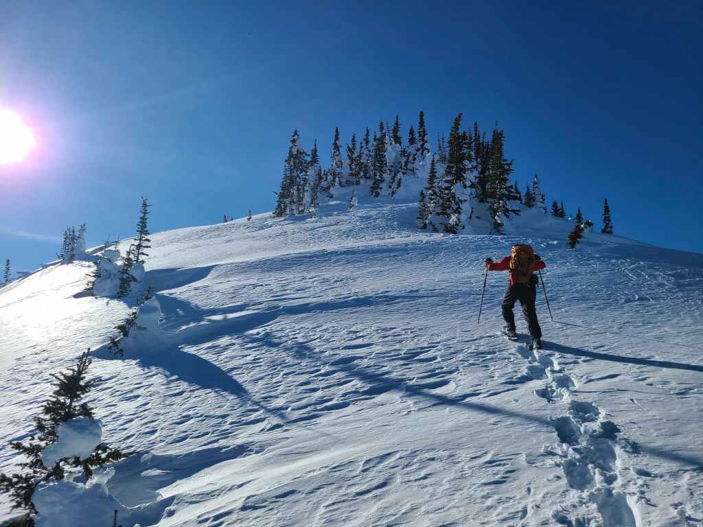
Almost at the top.
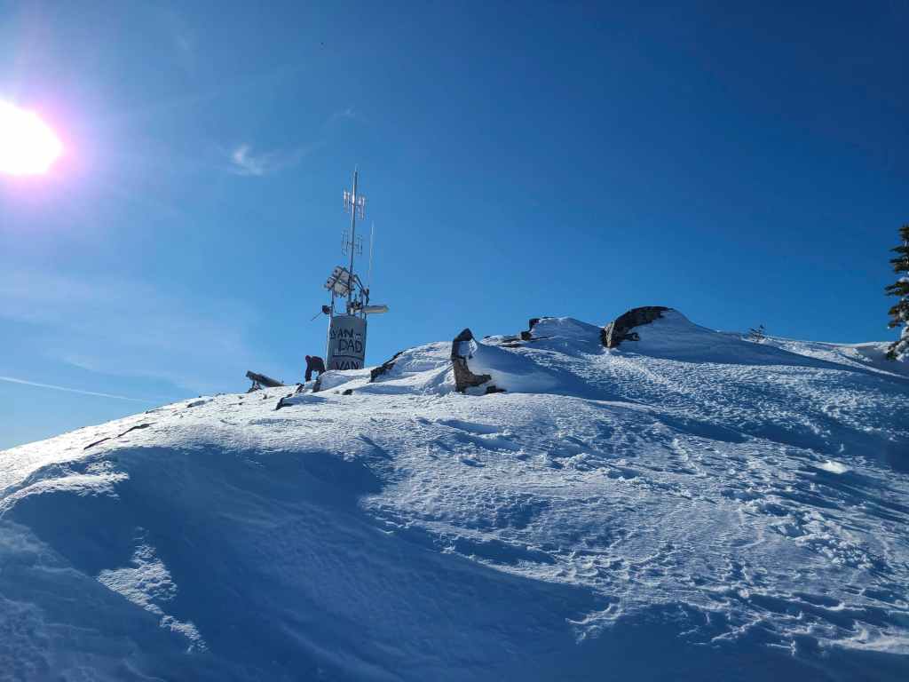
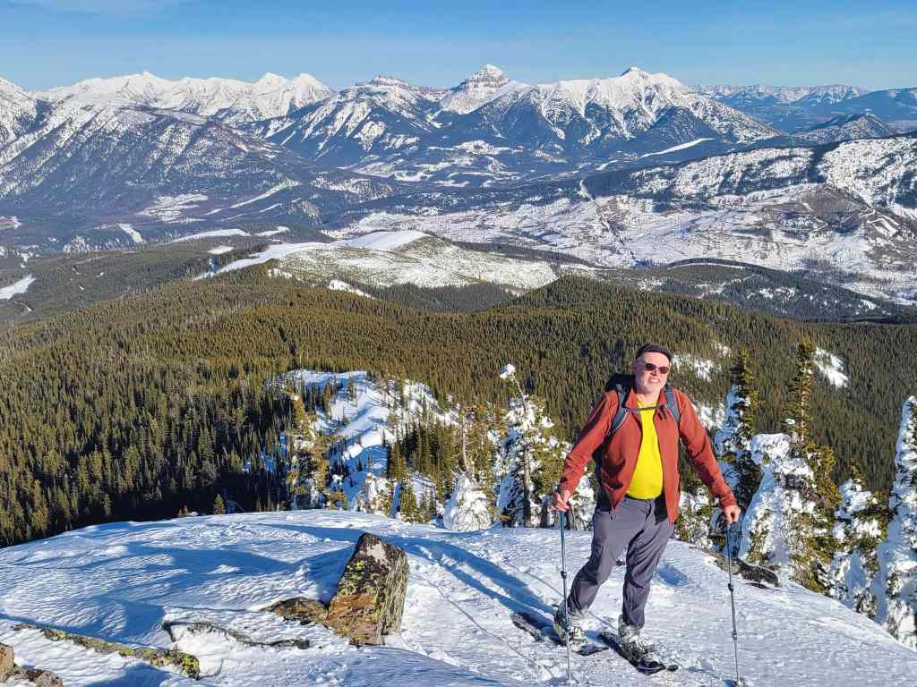
Raff arrives on the summit of Sparwood Ridge (2260 m), the site of the former Natal Fire Lookout.

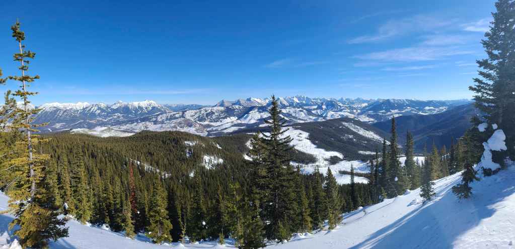
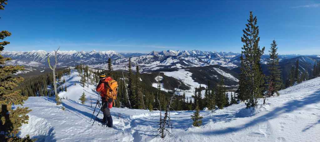
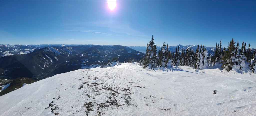
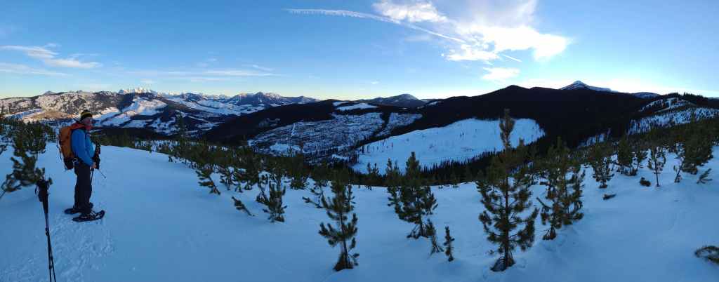
The summit views do not disappoint! First a pano to the northwest…
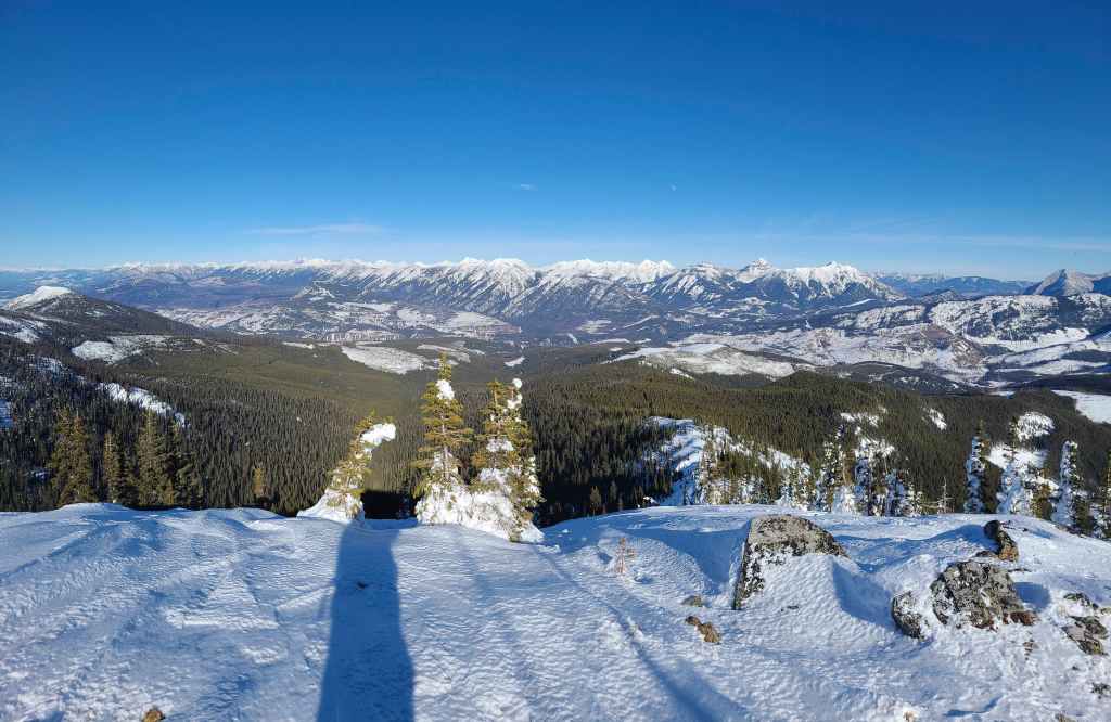
Then to the northeast…
Followed by the southeast…
And finally, one to the south.
The view to the west.
Looking east at the north end of the Flatheads. From left to right: Sentry Mountain, “Ostracized Peak”, Chinook Peak, and Andy Good Peak. In the foreground is Loop Ridge.
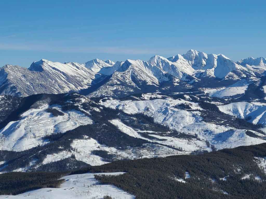
Looking a little further south along the Flatheads and the cool peaks that comprise the Northwest Ridge of Ptolemy. On the far right is Mount Ptolemy, the tallest peak in the area and very close to top of my list for 2022. EDIT: Done! 😁
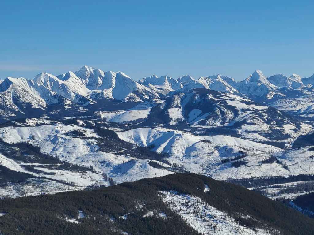
Glancing even further to the south with Tent Mountain in foreground to the right of centre.
Looking past Mount Ptolemy (left) and Tent Mountain at Mount McGladrey (right of centre) and Mount Pengelly (right), with Darrah N2 on the far right.

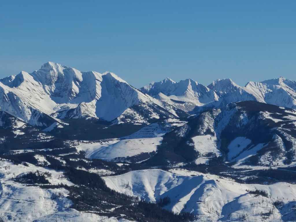
Gazing even further south along the Flatheads to intriguing Mount Darrah (left), Darrah SW1 (left of centre), Darrah S1 (centre), Darrah S2 (right of centre), Darrah S3 (right), and Centre N1 (far right) – which is also on my to do list for this year. 😁
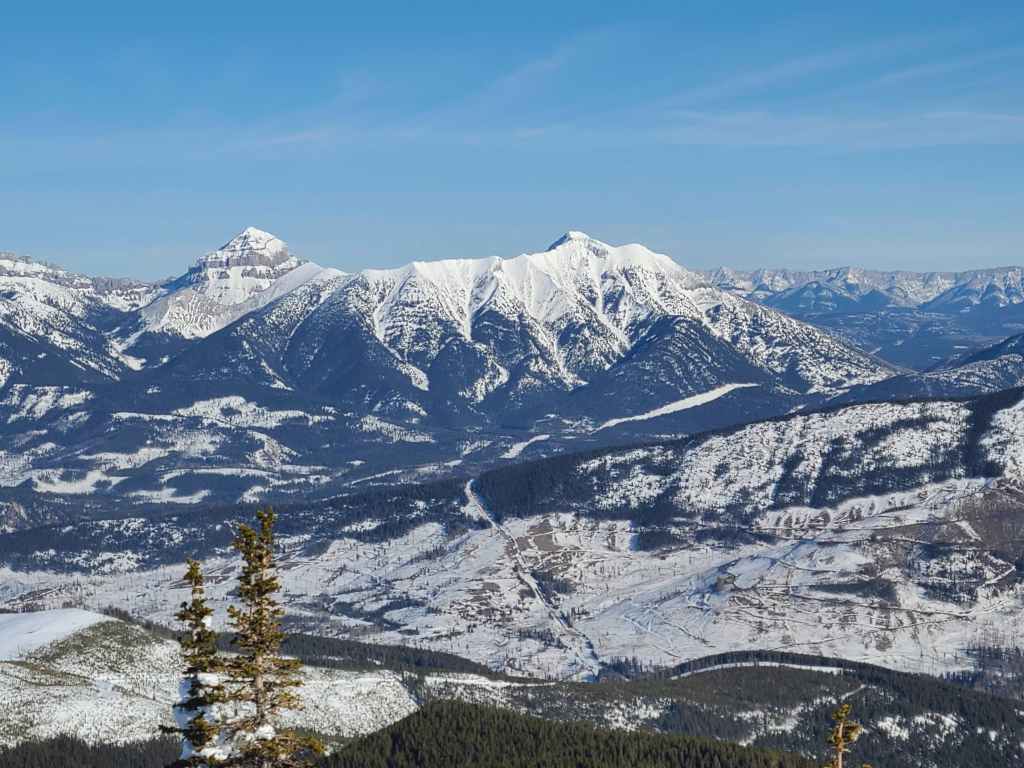
A good look at Mount Taylor (foreground centre) with Michel Head to its left and Michel Ridge to its right. On the far right is Barnes Peak.
A telephoto of Barnes Peak and Limestone Ridge (centre).
Now looking to the northwest and across the Crowsnest Pass at Phillipps Peak and Mount Tecumseh (both to the right of centre) which mark the southern end of the High Rock Range. On the left is “Shooting Star Peak” – an isolated and distinctive high point on the Tecumseh massif – followed by mighty, Omahkai’stoo (Crowsnest Mountain) on the left.

Glancing a little further to the north at “Alexander Creek Mountain” (foreground right) with the Seven Sisters behind it. In the centre is “Deadman Peak” with Allison Peak on the far left.
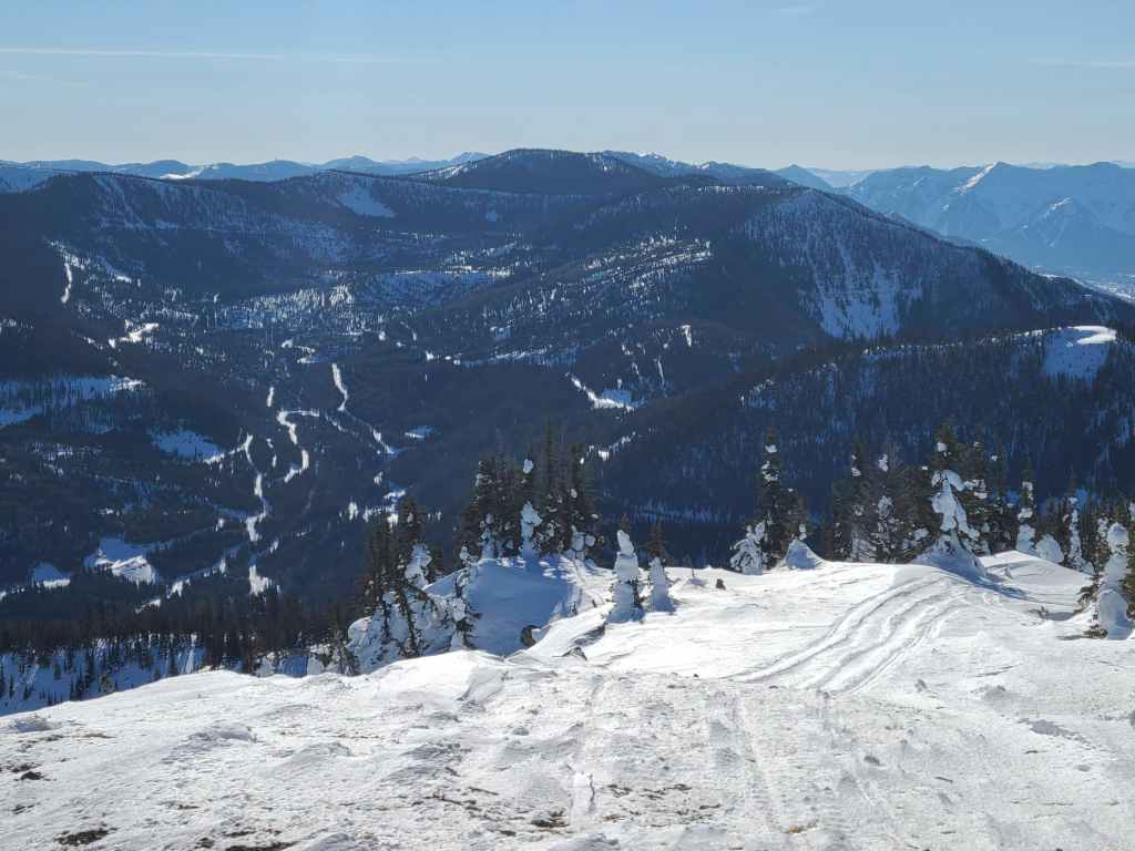
Gazing further to the north at Mount Erickson (right of centre) and then along Erickson Ridge to Gaff Mountain (far left). In the foreground to the left is part of the Teck mine operation near Sparwood.
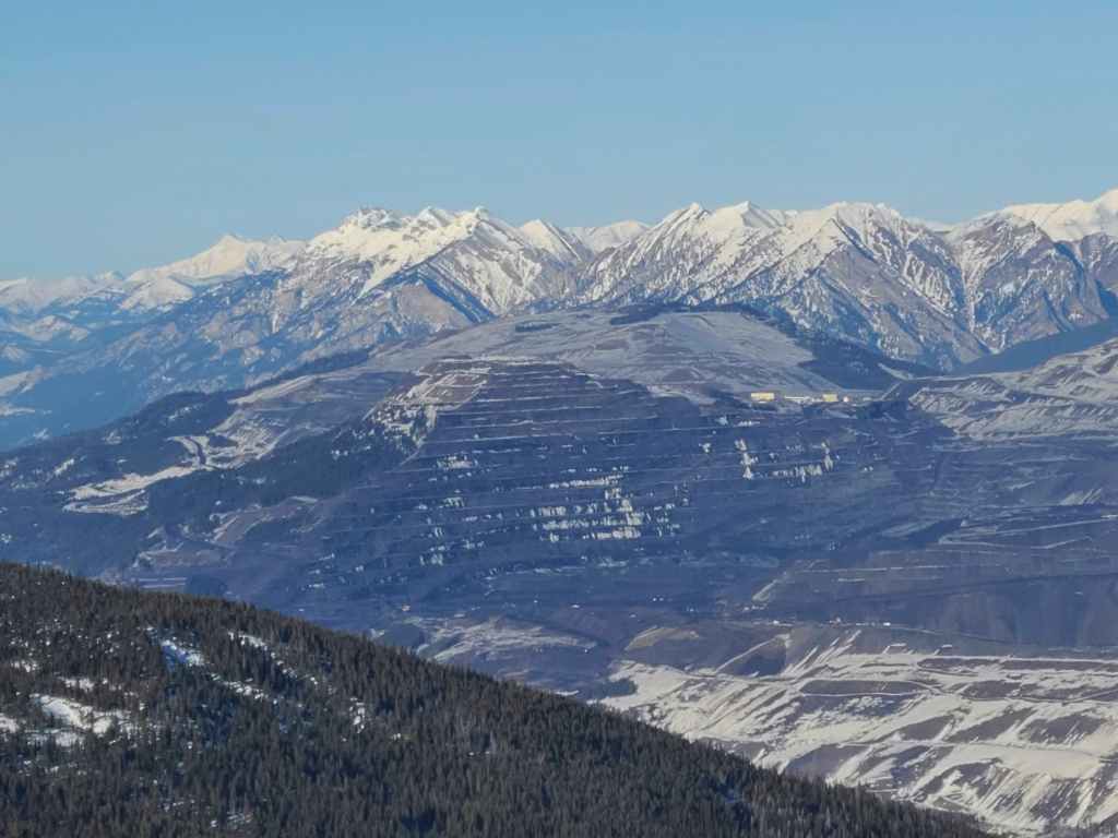
A better look at the Teck mine on Natal Peak (foreground). In the distance are Sheep Mountain (right), Mount Salter (right of centre), and Mount Lyne (left). So many mountains to explore! 😁
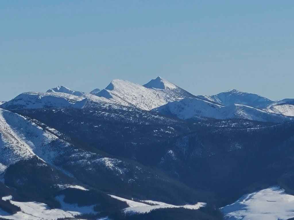
A closer look to the west at Mount Washburn (centre) with Mount Gydosic to its right.

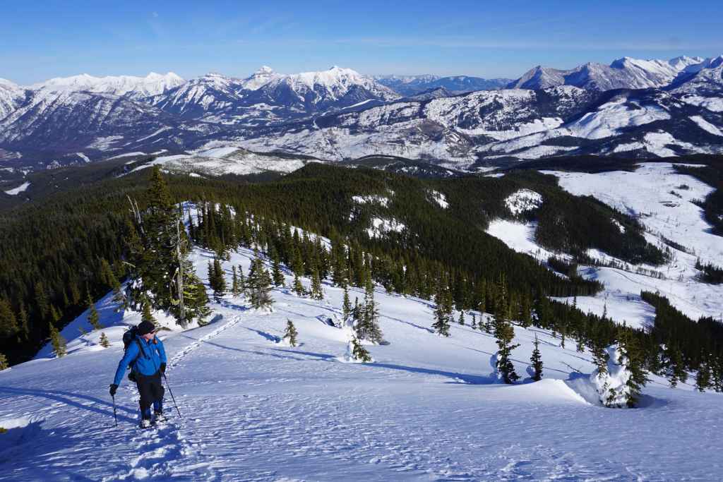
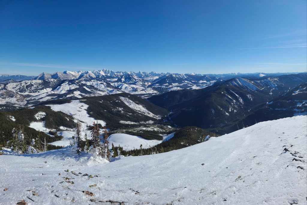
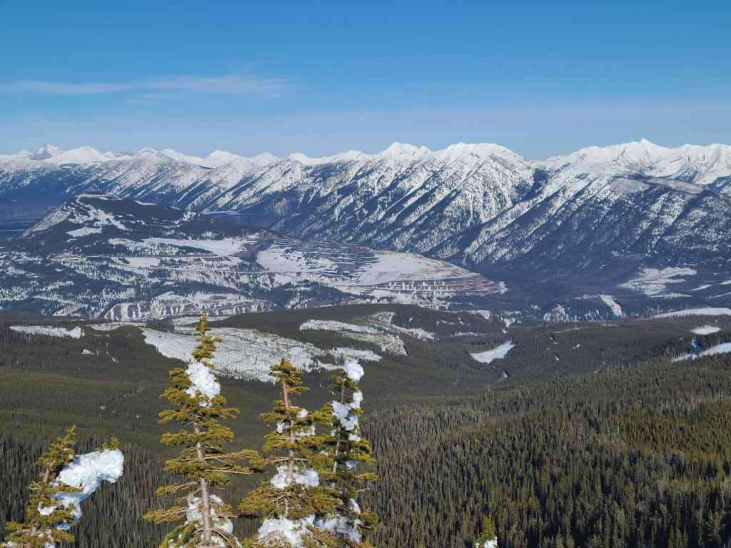
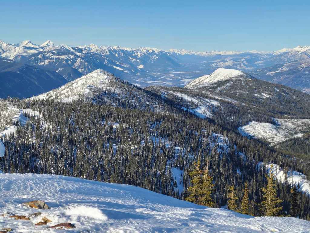
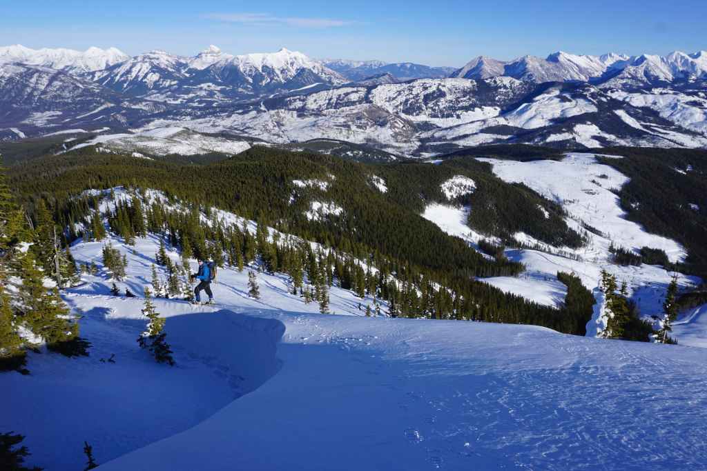
The view back at our route along the northeast ridge. There was barely any elevation loss, so the entire trip back was all downhill and very quick. In fact, given the terrain, a pair of skis would’ve made for a VERY quick and VERY enjoyable egress off the mountain! The logging roads and trails would be fantastic runs. Why do I only think of these things afterwards? 😂
Looking north along Sparwood Ridge at two distinct high points. Perhaps these could be snowshoe destinations one day? 🤔
Gazing west at Three Sisters (left) and Mount Hosmer (right).
Hosmer Ridge (centre) sits immediately to the south…
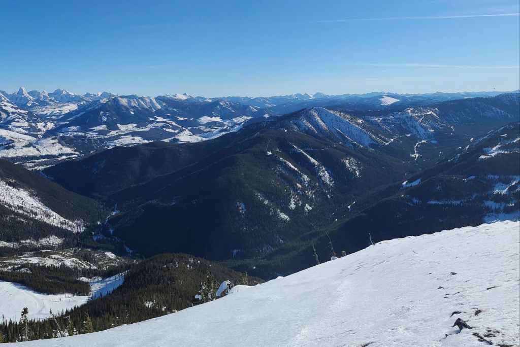
While Marten Ridge (foreground right of centre) sits directly to the southeast.

A telephoto of the town of Fernie.
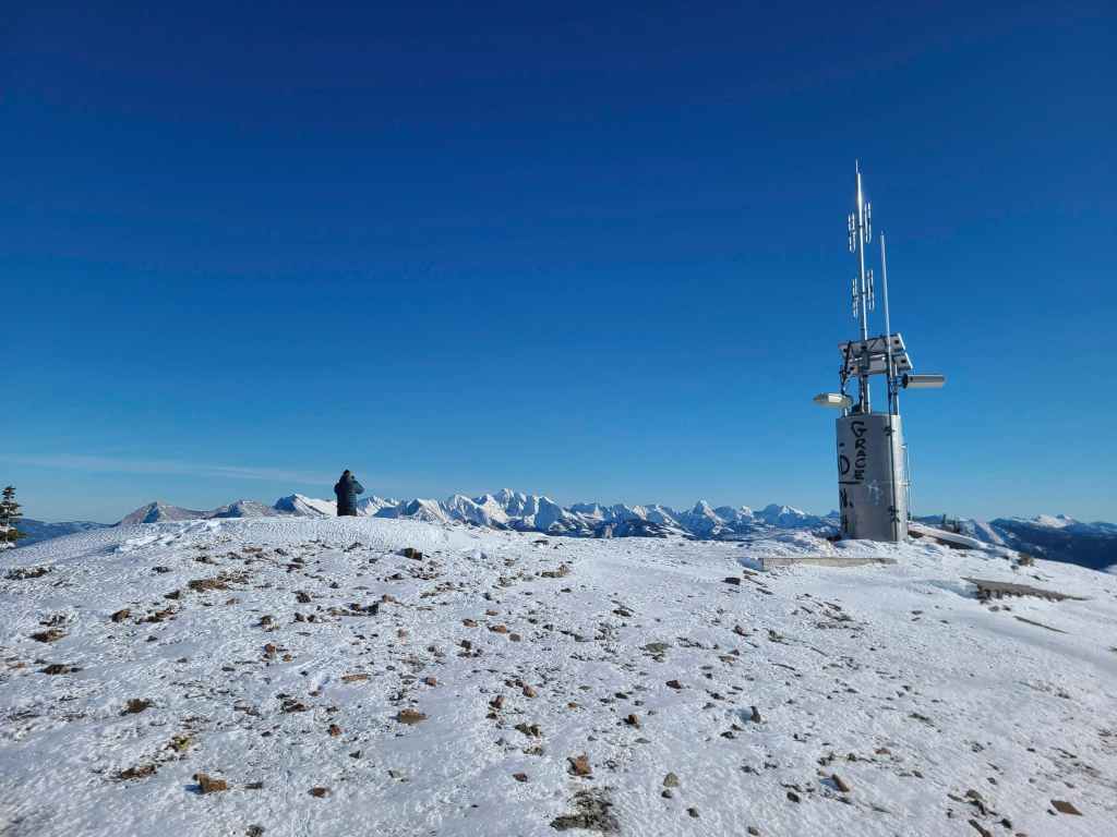
A more comprehensive view of the summit.
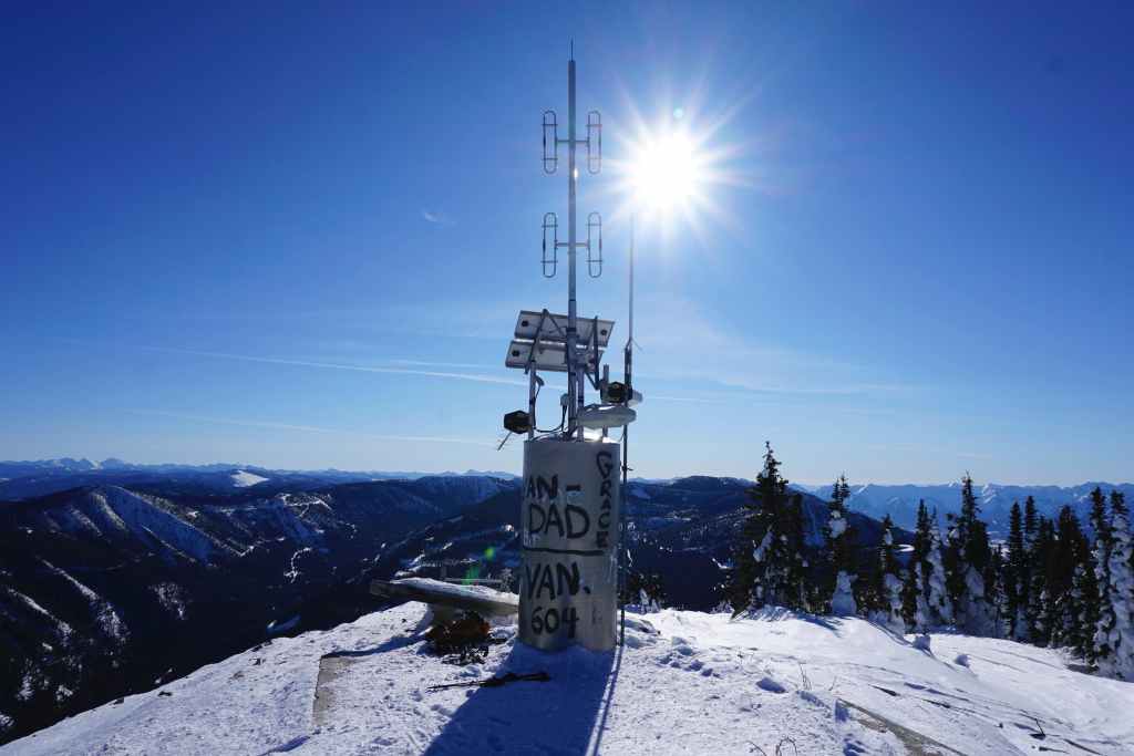
The instrument cluster also functions as the de facto summit register… (Photo by Rafal Kazmierczak)
And by the looks of it, it’s an extremely popular place! This is just a small sampling of the many names.
Bert joins Raff and I on the summit.
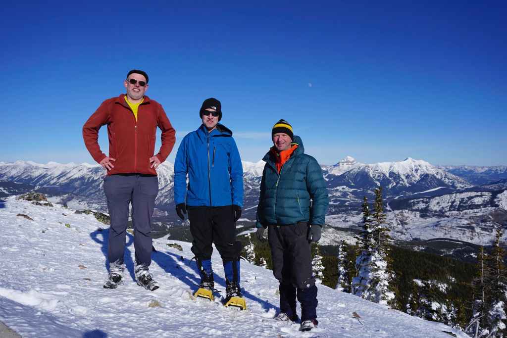
All of us on the summit… (Photo by Rafal Kazmierczak)
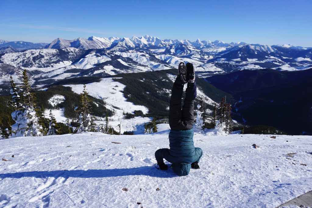
Followed by Raff doing a headstand! This wasn’t a quick process either, he kept that pose for a good 3 or 4 minutes while I ‘figured out” *cough, cough* how his camera worked. 😂

Raff and I. (Photo by Rafal Kazmierczak)

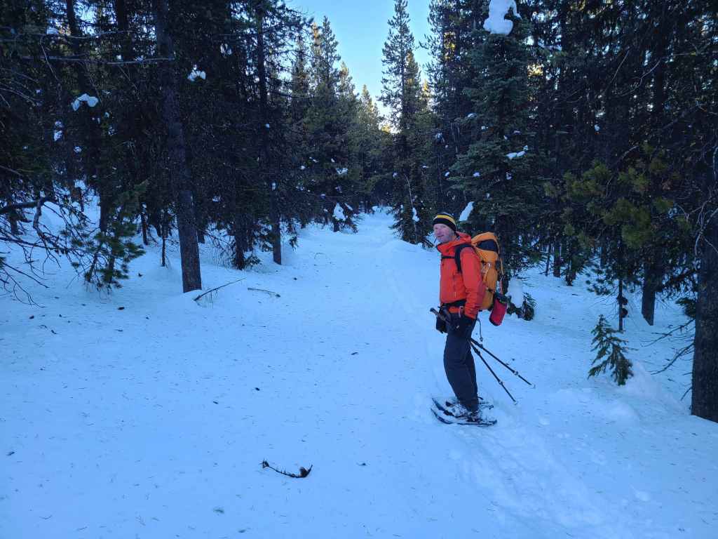
Time to head back.
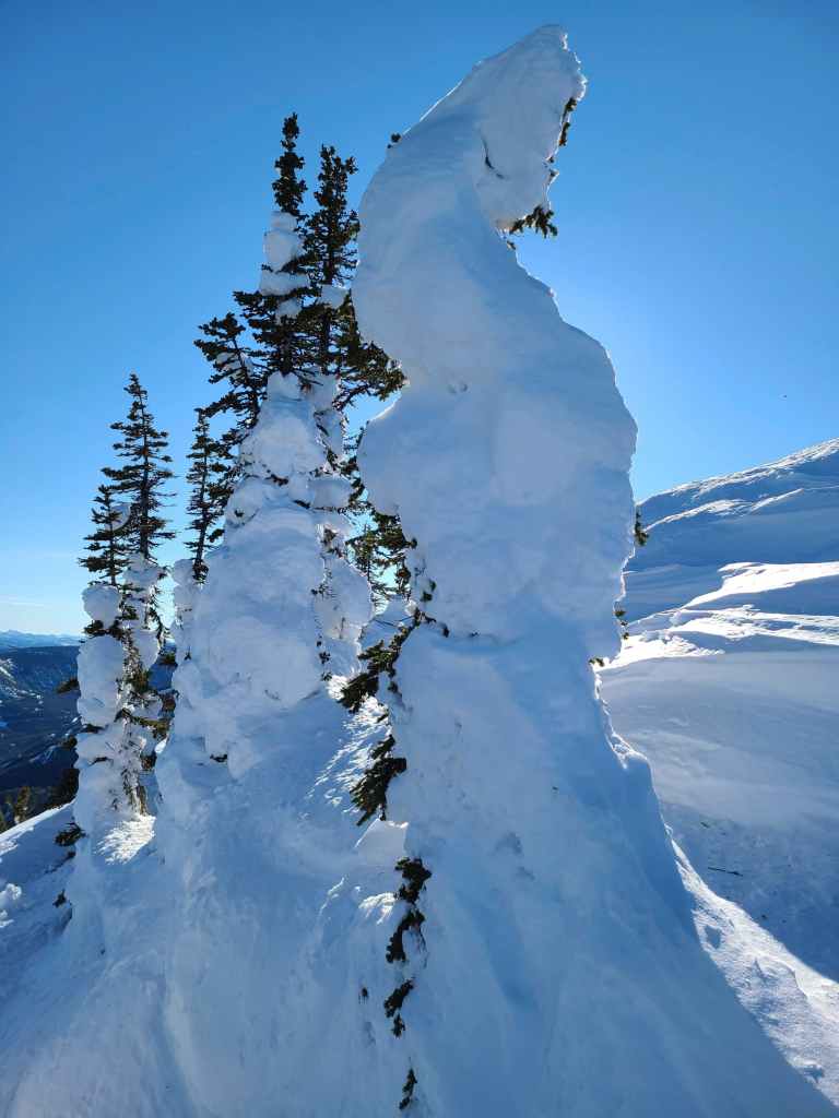
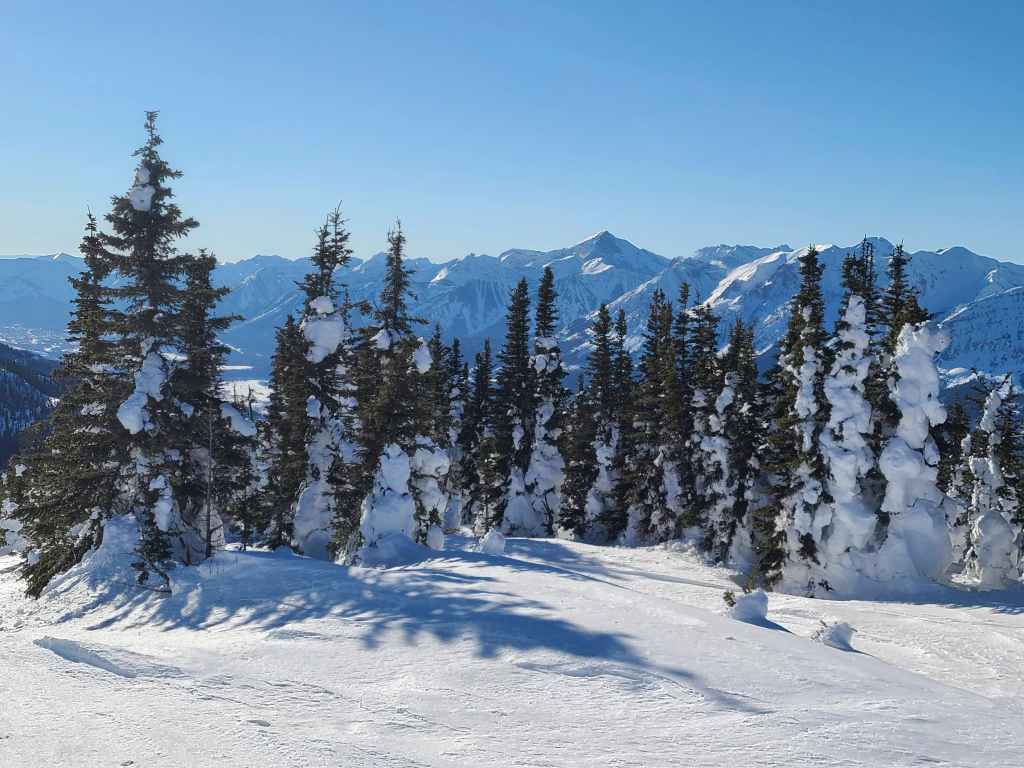
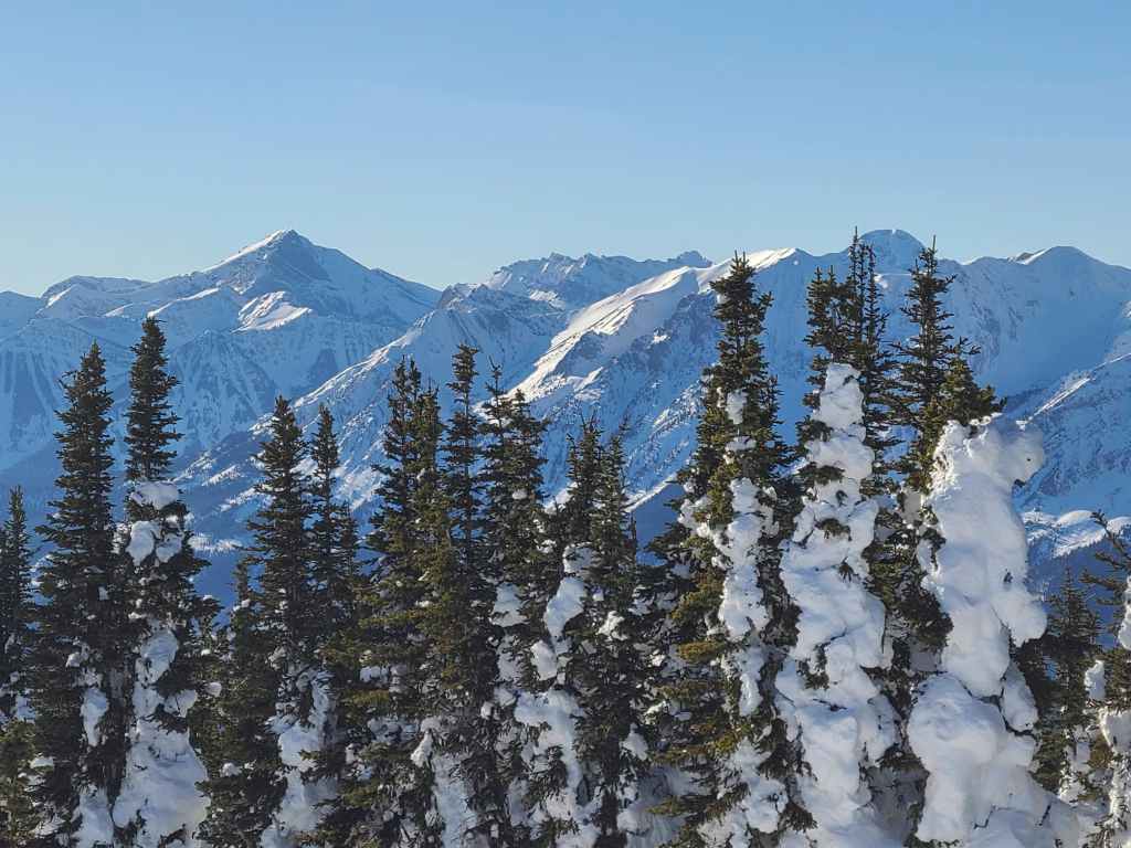
Snow-plastered trees are super cool! 😁

Raff and Bert beneath the summit.
I lead the way down, which is much easier than leading the way up! 😂 (Photo by Rafal Kazmierczak)
What an absolutely stellar day!
Back on the road.
Glancing back as we make our way down. As I noted before, skinning or lugging skis up to the summit (or at least the end of the road) would make for a fun descent.
Enjoying easy travel along the road.
Looking back at Bert.
Arriving at the junction with snowmobile trail.

The trail also allowed easy downhill travel.

Now off trail, Raff follows our tracks back along the ridge.
Passing beside the interesting depression.
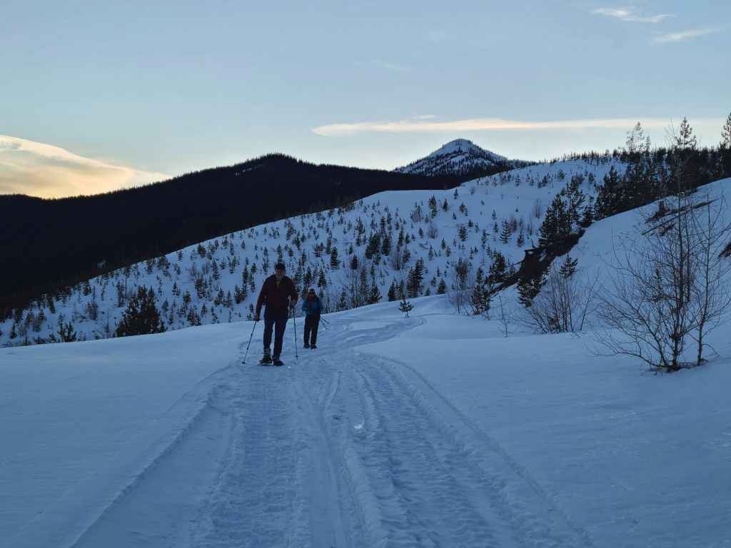
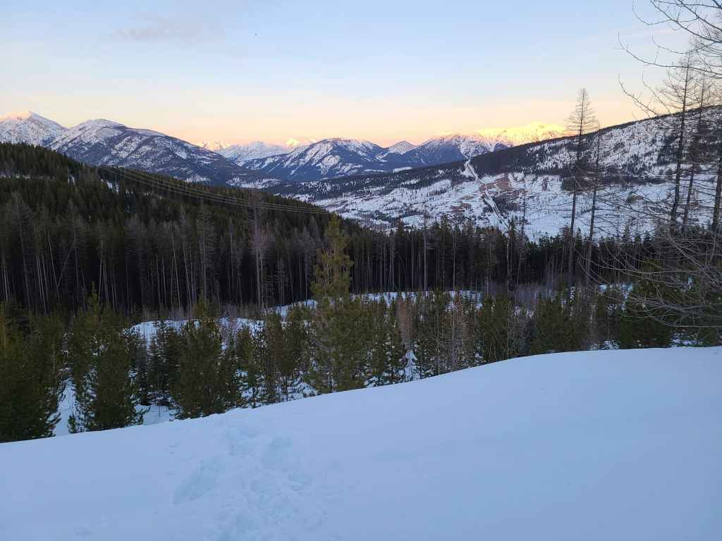
We were treated to some fantastic evening views as we made our way back.

Gazing across to Loop Ridge.
Evening sunlight on the Northwest Ridge of Ptolemy and Mount Ptolemy.
Nearing the point where we will leave the ridge and traverse back to the logging road.
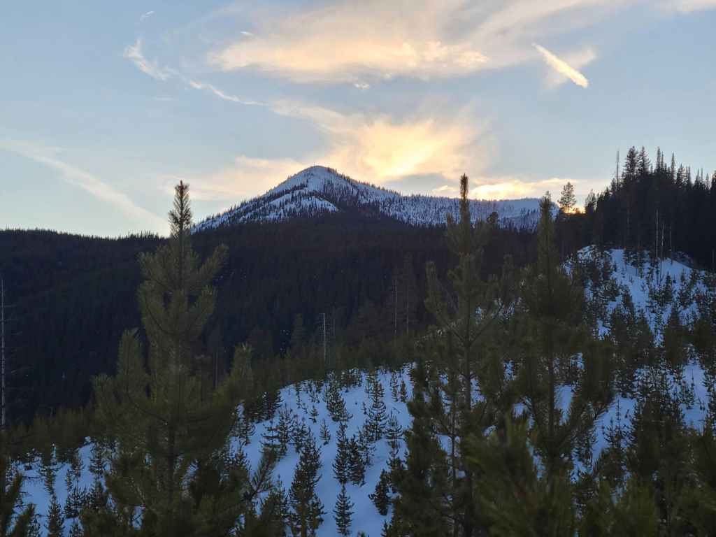
Looking back too the summit.

Moonrise on Sparwood. 😁
Did I mention what a gorgeous day it was? 😁
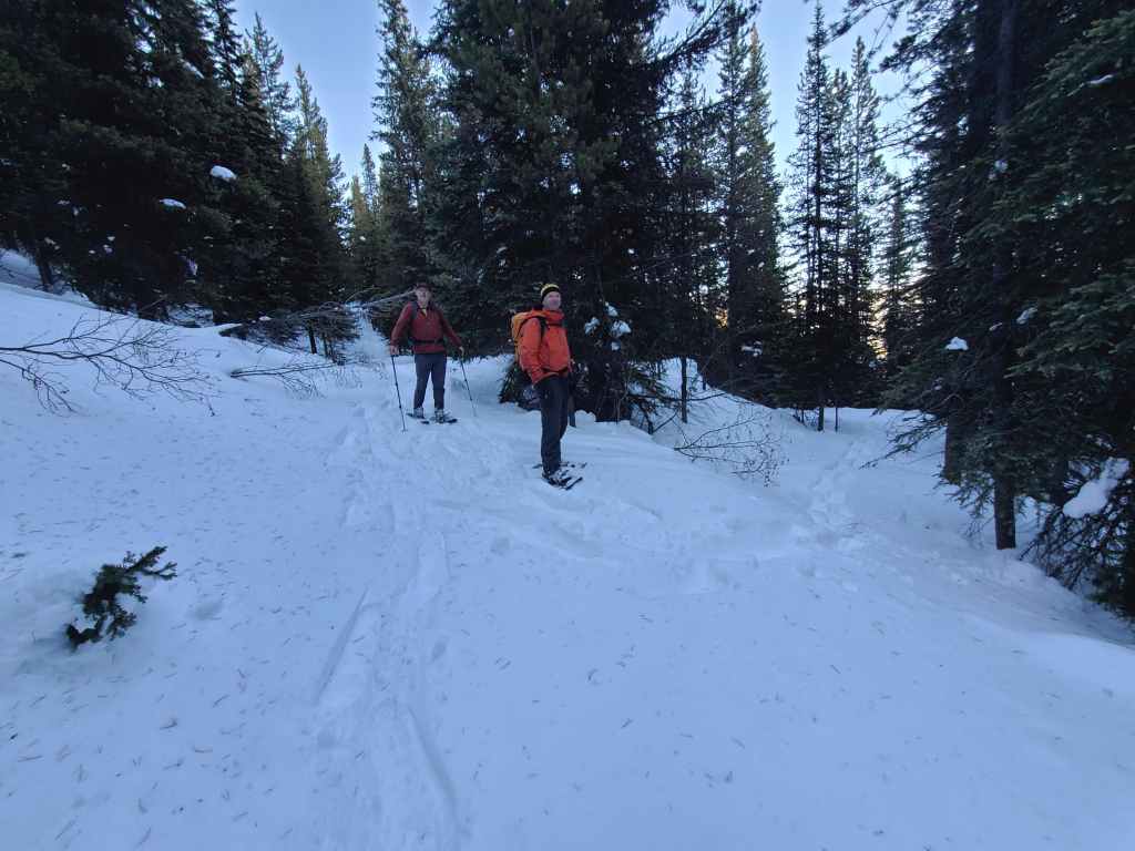
Arriving back on the road.
Another look back to the summit.
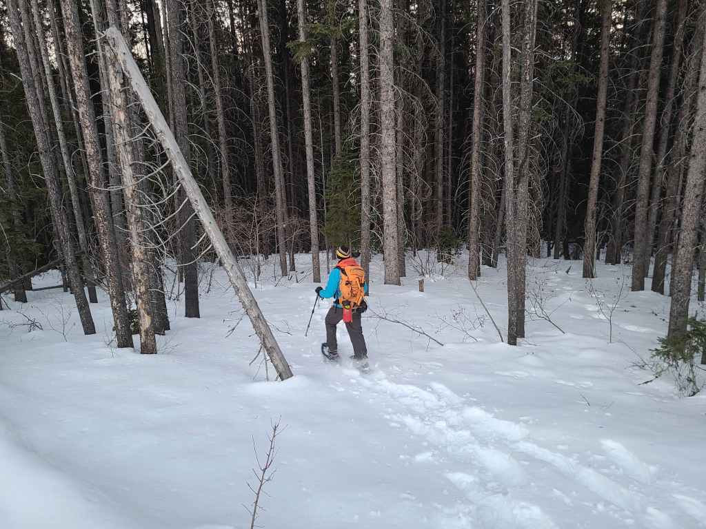
Crossing the first logging road…
Before entering the final section of forest.
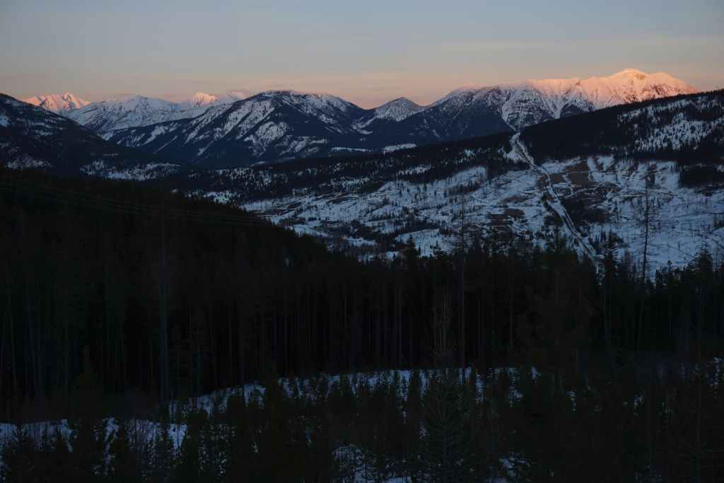
Gotta love pink mountains! 😊 (Photo by Rafal Kazmierczak)
Raff continues to lead the way.
Shedding some light on the situation. 😂

Raff makes his way down the final slope before reaching our vehicles. After enduring inclement weather on recent trips, having a bluebird was an absolute gift! Being able to snowshoe in a t-shirt with blue sky overhead and crisp snow underneath – with no wind whatsoever – made this into a great day. Throw in some 360 views from the top and some fantastic companions for the journey, and it instantly became an incredible day! Make no mistake, this was a long day, as 1000+ m of elevation gain on snowshoes will ensure a good night’s sleep, but thanks to trip reports from Matthew Clay, Alison Sekera, and Vern Dewit, we knew what to expect and could choose an alternate route. Thanks again to Raff and Bert for such an awesome day in the mountains! 😁


Leave a Reply