


⚠️ Hiking and scrambling are inherently dangerous activities. Please read my Disclaimer. ⚠️
Hey! It snowed – and then it snowed again, and now there is some hope that the region might reach the low end of normal for snow – though some pillows are still well below normal such as the one near Akamina Ridge. As I’ve been saying for the last few trip reports, we still need lots more snow AND we need it to melt significantly slower than it did last year, so that southern Alberta can at least limp through another year of drought. If I’ve learned anything from my colleagues in the sciences, it’s that climate change is making volatility the new normal, so we’d better get used to more frequent cycles of feast or famine moving forward. 😳
Anyway, knowing that the area had a nice dump of snow, Brad and I set off in search of a new destination to snowshoe. Unfortunately, today was super windy and that limited our options, so we opted to drive out to the Pass and see what caught our eye. After contemplating a nice-looking ridge above Hillcrest and in front of Turtle Mountain, we continued to Blairmore where an interesting, treed bump immediately to the west of Turtle Mountain caught our eye.
As it was something new to both of us, we thought, ‘Why not?’ and so we set off from Blairmore towards the Sartoris Staging Area. A quick glance at a topo map didn’t help to orientate us to the bump’s exact location, but we nevertheless headed out to find it. A short walk down the seasonally closed road brought us to a small clearing on our left. Noting that a snow bike has made a trail up the initial section, we decided to take advantage of the compressed snow and head straight up, knowing that we’d eventually find ourselves onto the bump.
At one point, Brad and I separated to see if we could see the summit. However, we eventually re-connected as we followed a small ridge up and towards Turtle Mountain. Sure enough, we came to the top of the bump which was simply the highpoint on the ridge before it dropped onto the west slopes of Turtle. Looking back, we could see that we could’ve gone straight up from the Staging Area; gained the ridge, and then followed it to the top of the bump. Oh well, no worries. Our way was fun as well. 🙂
From the bump, which we nicknamed, “Sartoris Ridge”, we decided to continue towards a small, unnamed hill on the north end of Hastings Ridge. This small summit was nicknamed, “Hurtle Peak”, by Sonny and Zosia and is also described by Jane Ross and William Tracy in, Hiking the Historic Crowsnest Pass. Brad had visited it before with his daughter, but I hadn’t.
A quick descent into the intervening valley fooled us into thinking we could ascend the easternmost of “Hurtle’s” two northern ridges. While Sonny and Zosia had used the western ridge and encountered copious amounts of deadfall, we also anticipated lots of deadfall, but hoped the snow would be deep and firm enough to mitigate a repeat of our experience on Cherry Hill. Boy, were we wrong! 😂
Not only was the snow much deeper on this side of the valley, it was also unpredictable in its ability to hold us. I’ve said this before and I’ll say it again, if the Sword of Damocles hangs above, then the Sword of Testocles waits below and holy crap, was this a potentially eunuch-making journey! 🤪 Not only did the Sword of Testocles wait for us beneath the snow, but so did the spear, dagger, Swiss Army, butter knives, and paper clips of Testocles. Unfortunately, we kept being fooled into thinking that things would get better, but it never came, it only got worse. Even Brad, who is a trail breaking machine when it comes to snowshoeing, succumbed after 1.5 hours of trying. With the summit not far off but yet, torturously far off under the current conditions, we called it a day, and turned back.
Nevertheless, despite our failure, it was a very fun winter day in mountains with a good friend. 🙂 I’ll come back and tag “Hurtle” another day.


To get to “Sartoris Ridge” we drove west on Highway 3 until we reached Blairmore. We then turned left at the first entrance to the town past the bridge (20 Ave) and then took out first left (113 St). After crossing the tracks, we followed 113 St. for 3 blocks until we came to 17 Ave, where we turned right. One block away we turned left again on 132 St and followed it for one block until we came to 16 Ave, where we turned right and followed the street as it turned into 131 St. as it left town. We then followed 131 St. until it ended at the seasonal closure gate and the Sartoris Staging Area. This is where we parked.
From the Staging area we crossed the seasonal gate walked down the road for a few hundred metres until we came to an obvious ridge and clearing on our left. This is where we left the road and followed the ridge southeast for 1.7 km (189 m elevation gain) until we came to the highpoint on the ridge. This is the ‘summit’ of “Sartoris Ridge”.
From the ridge we descended 500 m (103 m elevation loss) into the valley immediately to the south. We then began to ascend the westernmost of “Hurtle Peak’s” dual north ridges. Unfortunately, the deep snow and twisted deadfall was too much for us to complete and we abandoned our ascent approximately halfway up.
We then returned the same way to the valley where we followed a trail for ~2 km back to the road and then ~692 m back to the parking lot.
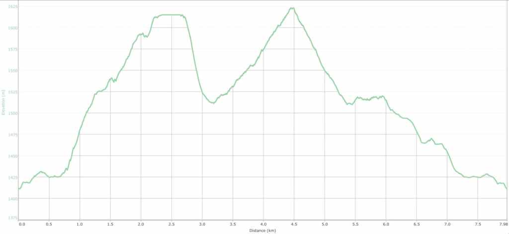

Our total roundtrip distance was 8 km and our total elevation gain was 339 m. Our roundtrip time was 4 hours.


Brad’s ready to go as we gear up at the Sartoris Staging Area. 😂 In hindsight, we could have gained the ridge by heading up through the trees in the background.
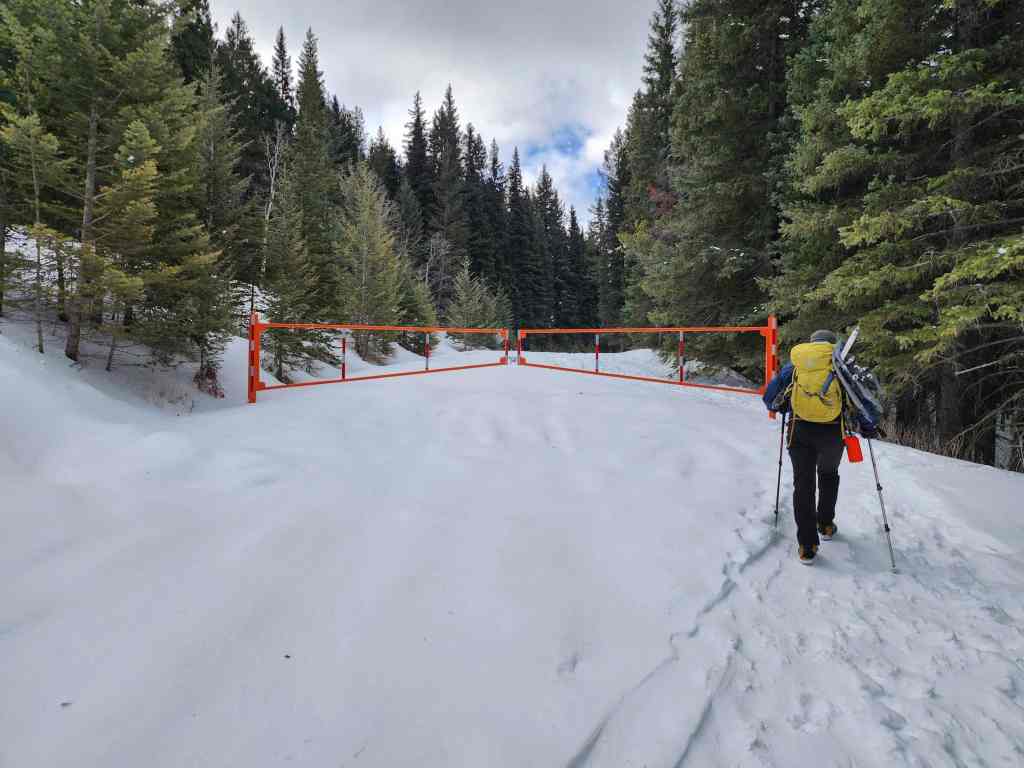
Passing the seasonal closure gate.
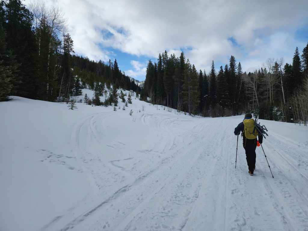
A few hundred metres down the road, we came to a clearing on our left.

We would follow the ridge up from here.

Taking advantage of a snow bike’s trail.

We will soon head into the trees in front of Brad.

The view back with the Pass Powder Keg Ski Hill behind me. I think I’ve ascended Pass Powder Keg at least 10 times over the years, often between my kids’ lacrosse games. 😂 (Photo by Brad Wolcott)

While Brad would follow the snow bike trail into a clearing to see if he could see the summit, I left the trail to continue along the ridge.
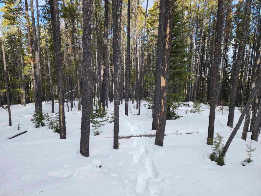
Looking back at my tracks as I make my way along the ridge.
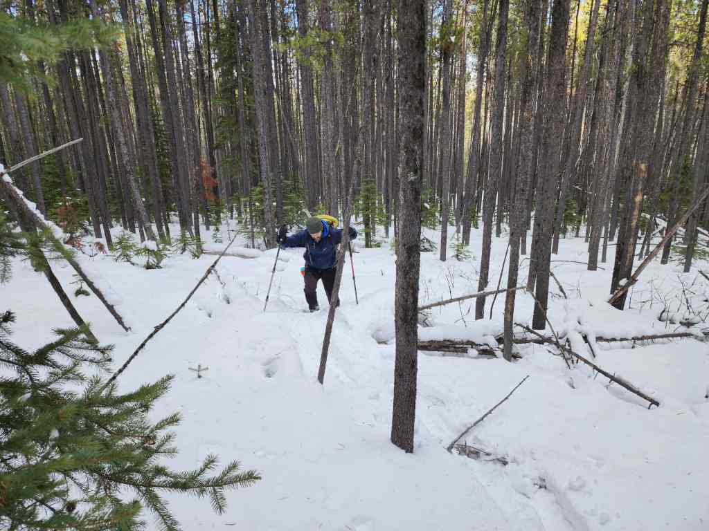
Brad soon joins me.
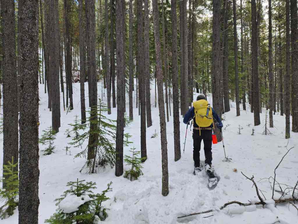
More enjoyable snowshoeing.

It got a bit steeper before reaching the summit.

Closing in on the summit.

The ‘summit’ of “Sartoris Ridge” (1623 m) with Turtle Mountain in the background. It was tempting to keep going up, but the wind was ripping and it would’ve been miserable above treeline.

Brad on the summit…

Followed by me – after I recovered from falling off the small tree stump beside me. 😂 (Photo by Brad Wolcott)

Other than Turtle, the only view we had was of “Pa Butte” (centre) and Ma Butte (right of centre).

Leaving the summit and following our tracks back along the ridge.
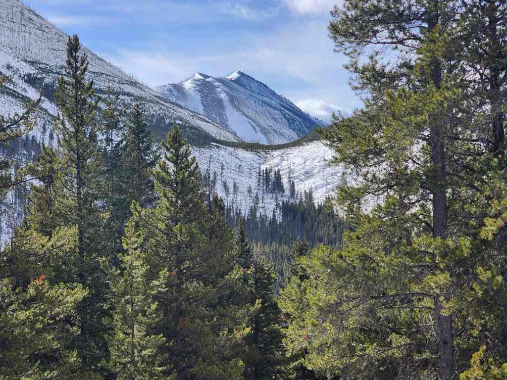
A good view of Hillcrest Mountain.

Looking towards what we hoped would be our second objective of the day, “Hurtle Peak”. The ridge we would attempt to ascend is in front of Brad.
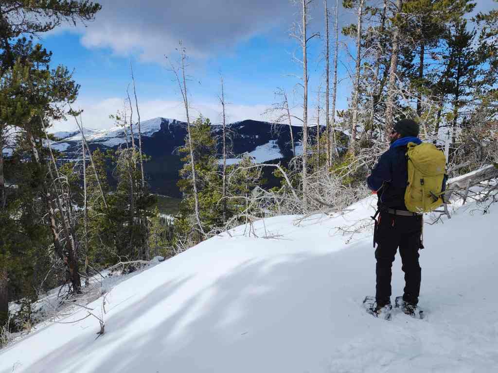
Brad stops to check out the views towards Willoughby Ridge.

We followed a small ridge for ~500 m (103 m elevation loss) to reach the floor of the intervening valley.

Crossing the trail that we’ll eventually follow back to the road.
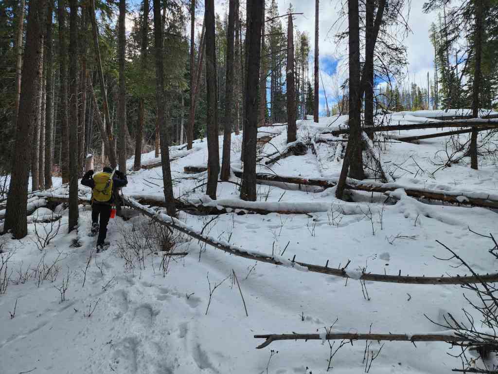
Starting up the ridge.
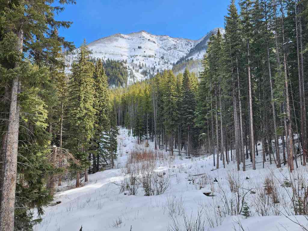
Looking over to Turtle Mountain.

Yeah… so the snow was a little deeper than we expected…. 😂
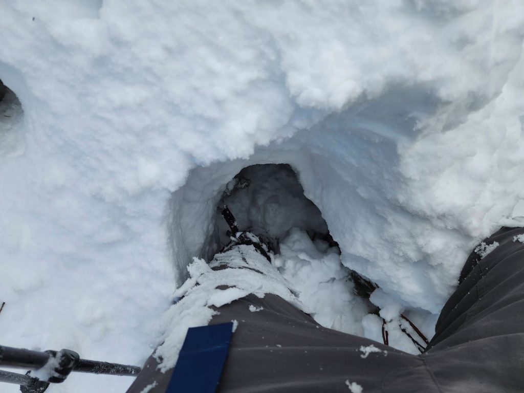
Hoping that I don’t fall victim to the Sword of Testocles. 😂

Brad did most of the trail breaking, but I did put in at least a token effort. 😂 (Photo by Brad Wolcott)
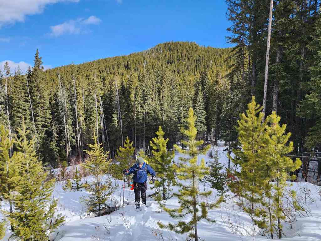
Looking back at the summit of “Sartoris”.


On a section that fooled us into thinking things would get better.
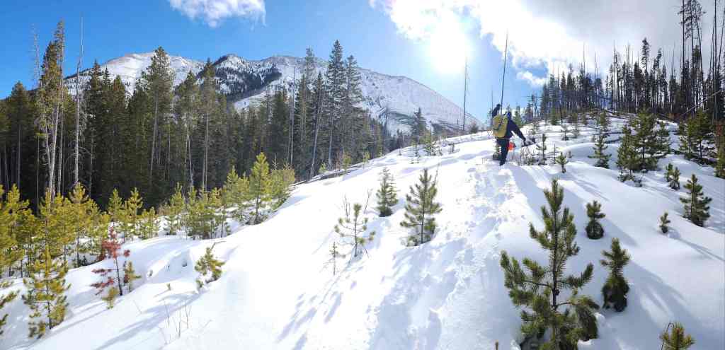

More of the same.

Walking lengthwise along a log. The snow on either side was thigh-deep.
Glancing back at “Sartoris Ridge” (left of centre).

A closer look at the ‘summit’.

More log work.
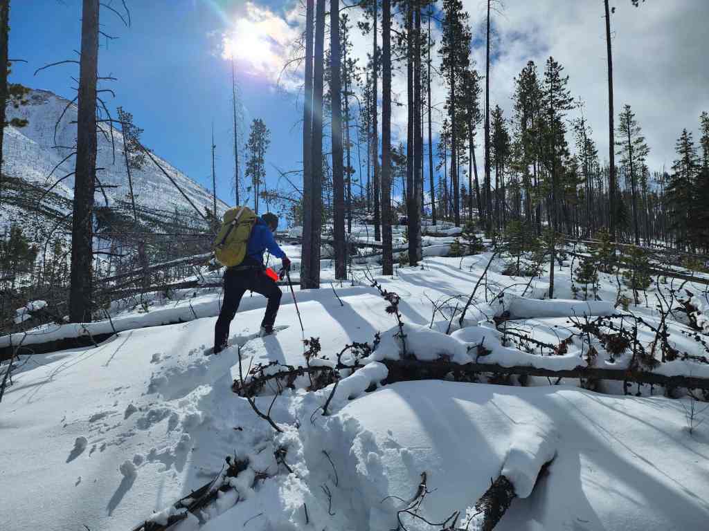
Back on a brief, but hopeful section.

Back into the deadfall.

The snow continued to get deeper and less stable.
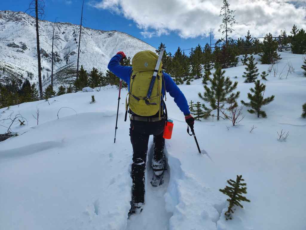
Brad blazes a trail.

It took us over an hour to get here from when we started up the ridge. We probably would have summited Turtle in equal time had we continued on from “Sartoris”.

Another half hour of tedious progress from the previous photo….
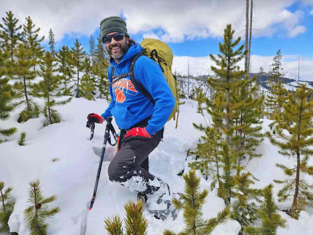
And we’re only halfway to the summit. This was where we called it day.

The summit was so close, but also so far away. 🤪


At least we had some decent views.


Brad ‘Trail Breaking Machine’ Wolcott.

Looking over at “Sartoris Ridge” (centre) with Bluff Mountain and Greenhill Ridge (left of centre) behind it.
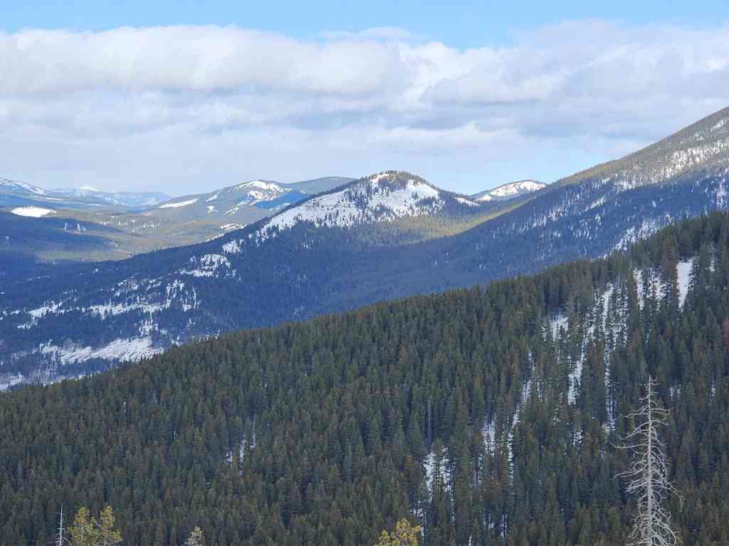
A closer look at Greenhill Ridge.

Zooming in on “Pa Butte” (left), Ma Butte (left of centre), and McGillivray Ridge (right of centre).

A beclouded Omahkai’stoo (Crowsnest Mountain) with Pass Powder Keg in the foreground and Wedge Mountain between them.

“Deadman Peak” was a great trip.
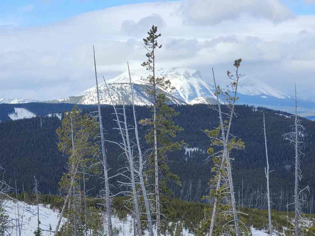
Finally, a look over at Phillipps Peak, Mount Tecumseh, and Crowsnest Ridge.

Heading back.
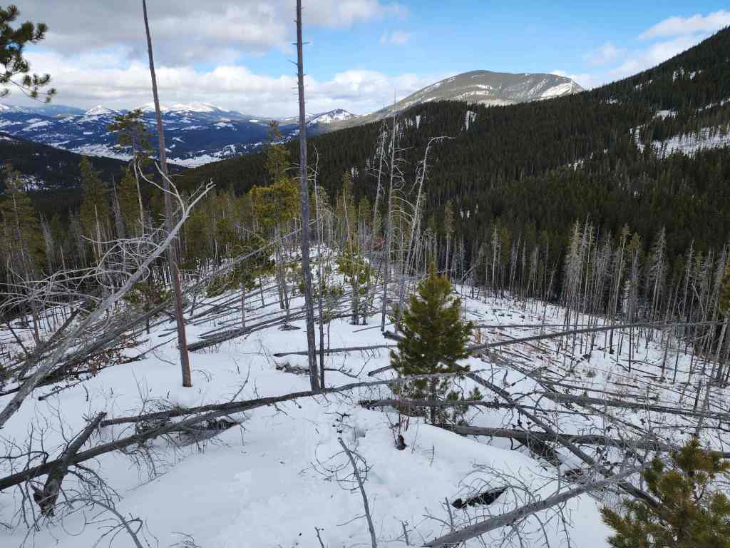
We still had to be careful about falling through the deadfall because the Sword of Testocles can strike when you least expect it. 😂

Easy does it.

Thankful to be back on the trail.

It was an easy ~2 km walk back to the road.

The trail parallels a cutline.
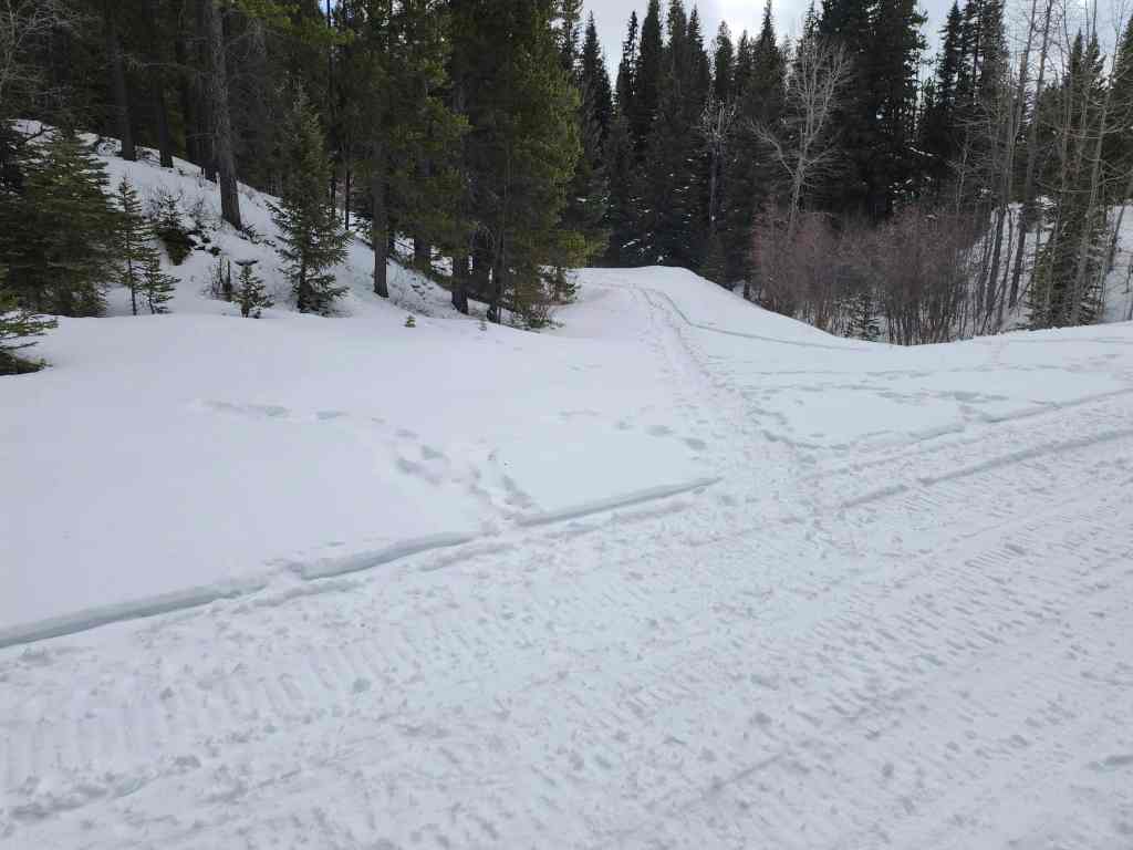
Back on the road and looking at its junction with the trail.

A random bench beside the road… is this where someone left grandpa? 🤔

Passing the point where we left the road earlier in the day.
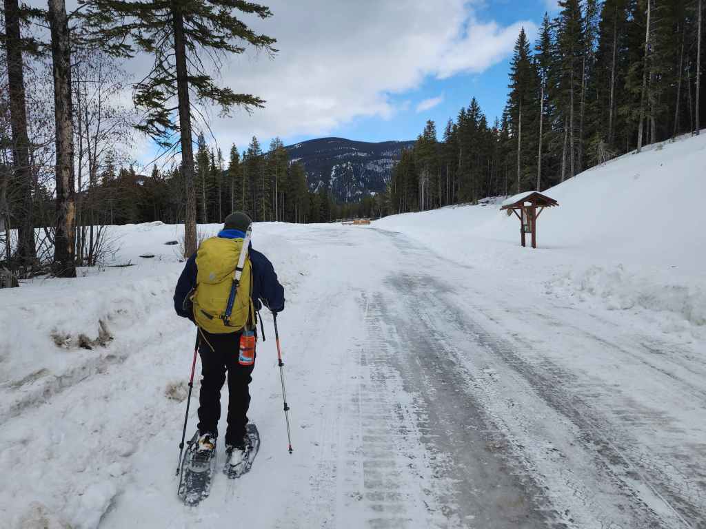
Arriving back at the Sartoris Staging area. It’s always fun to explore new terrain and get into areas where you haven’t been. Though this was a quick little trip, it was still enjoyable despite having to bail on “Hurtle Peak”. In fact, it was probably more enjoyable for me because Brad did all the work by breaking trail. 😂 Thanks Brad!