⚠️ Hiking and scrambling are inherently dangerous activities. Please read my Disclaimer. ⚠️
After an enjoyable ascent of Bluff Mountain via the SE ridge, Brad and I decided to do a loop and tag the summit of Greenhill Ridge on our descent. In, Hiking the Historic Crowsnest Pass, Jane Ross and William Tracy note that this ridge was the site of the West Canadian Collieries Greenhill mine which opened in 1913 and operated until 1957. One of the most successful coal mines in the Crowsnest Pass, the mine’s 500 to 600 men “produced some 3,000 tonnes a day during the 1940’s, with the best year being 1946 when production went over the top with 758,000 tonnes.” At the base of the ridge, many of the old mine structures are still standing and have been designated as a Provincial Historic Site. Given our discovery of pictographs on Bluff Mountain, I guess the theme of this trip should be: ‘Look but don’t touch’.

From the summit of Bluff Mountain, we headed north on an old trail until we came to an open rubble slope on our left. We descended the slope while doubling back in a southward direction until we we could see Greenhill Ridge below us. We then began to descend parallel to a large drainage. Fortunately, we came across another man-made trail in the trees which led us across the drainage, through the trees, and almost to the base of Greenhill Ridge. Here is where we left the trail and hiked to the base where we ascended a grassy slope to the summit. The trickiest part of Greenhill Ridge is getting off without trespassing on private land, so once we came to a gate with a ‘No Trespassing’ sign, we headed straight down the west slopes until we came to the Grassy Mountain Road which we then followed back to Highway 3 and then back to the vehicle.

For some reason my GPS knocked off about a kilometre and a half from the total distance so I will have to approximate a bit. Our total distance travelled was ~13.5 km with total elevation gains of 1016 m. Our total roundtrip time was 6 hours and 50 minutes.
From the summit of Bluff Mountain we followed an old trail northwards along the ridge.

A short distance from the summit clearing we came across another man-made meadow. Unlike the summit, this clearing offered a view of Crowsnest Mountain and the Seven Sisters. We continued following the trail across the clearing and into the trees.

I wondered if this was an animal trail, but old chainsaw marks on nearby logs indicated that this path had been deliberately made.

The trip north from the summit was pleasant and easy.

We eventually came to an open slope that offered up some nice views to the west.

We realized that we had gone too far to the north and so we began to descend the rubble slope while deliberately angling back to the south.

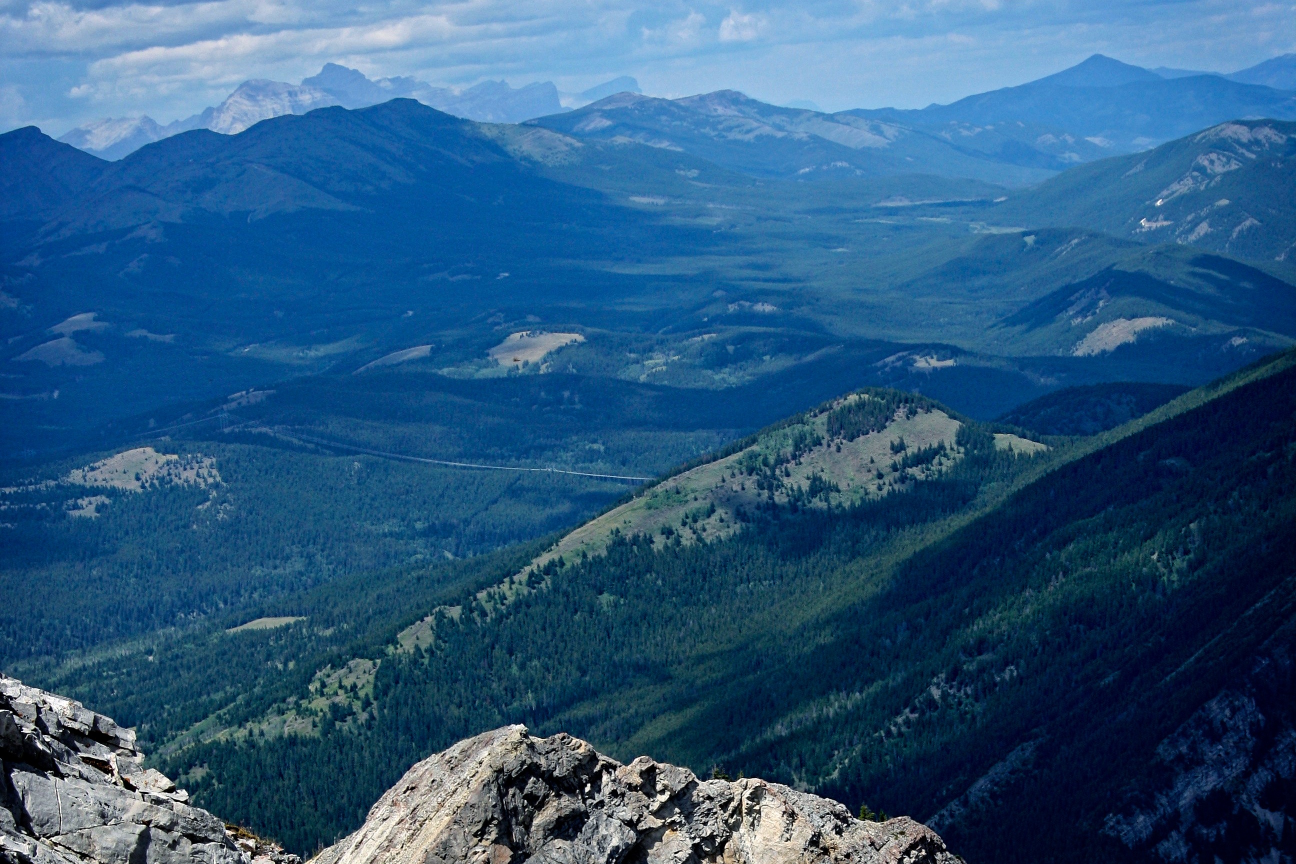
It wasn’t too long before we had a clear view of Greenhill Ridge (foreground). From here we began to descend straight down but our big concern was choosing the right place to cross the large drainage that was located to our left.

Once clear of the rubble, we made our way down a steep slope.

We soon came to another man-made trail that switchbacked its way down the mountain. I think that this trail might be the same one that we were on at the top of the mountain.

Looking back up the trail.

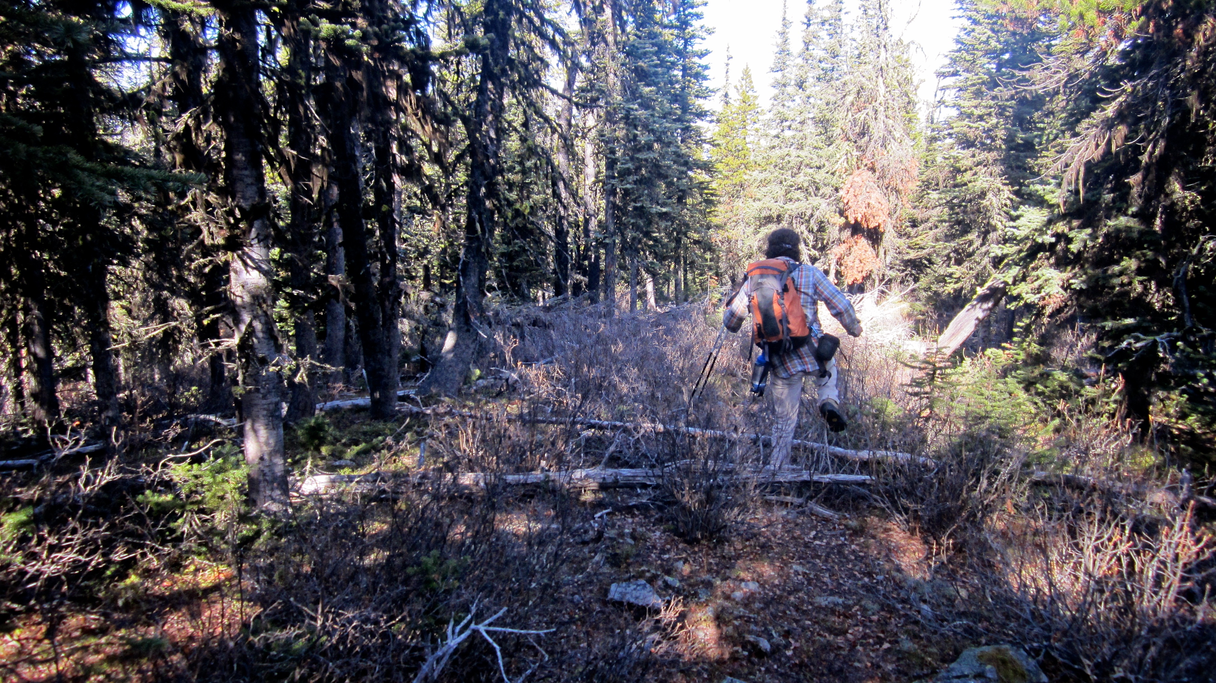
The trail was definitely man-made but hadn’t been maintained for many years. It guided us off of our descent slope, across the drainage, and through the woods until we were almost at the base of Greenhill Ridge.

Here is where we left the trail and headed through the trees towards Greenhill Ridge.
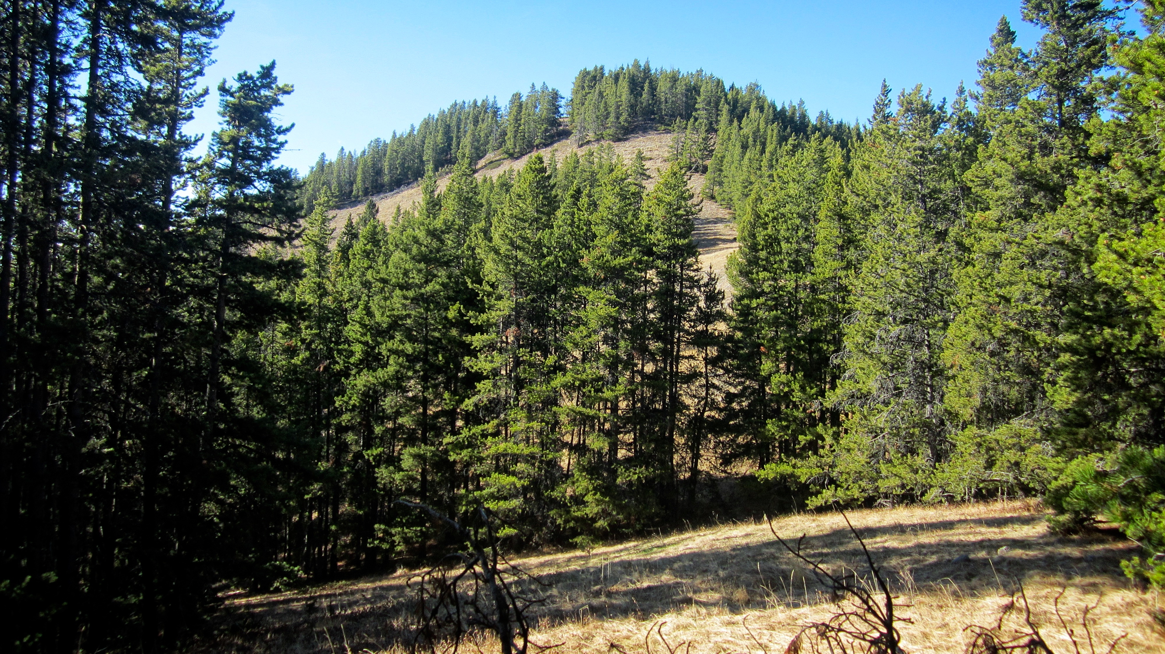
Getting to the base of Greenhill Ridge was not difficult.

Brad heads up easy slopes to the summit of Greenhill Ridge.

Looking back at Bluff Mountain from the eastern slope of Greenhill Ridge. The open slopes that we used to descend Bluff are on the left. I believe that the old trail probably gains the summit ridge further to the left of our descent slope.

Brad enjoys an easy hike to the summit. Turtle Mountain is on the left and just behind it, the summit of Hillcrest Mountain.

The summit of Greenhill Ridge is a small bump.

I symbolically plant my poles on the summit of mighty Greenhill Ridge (1750 m).

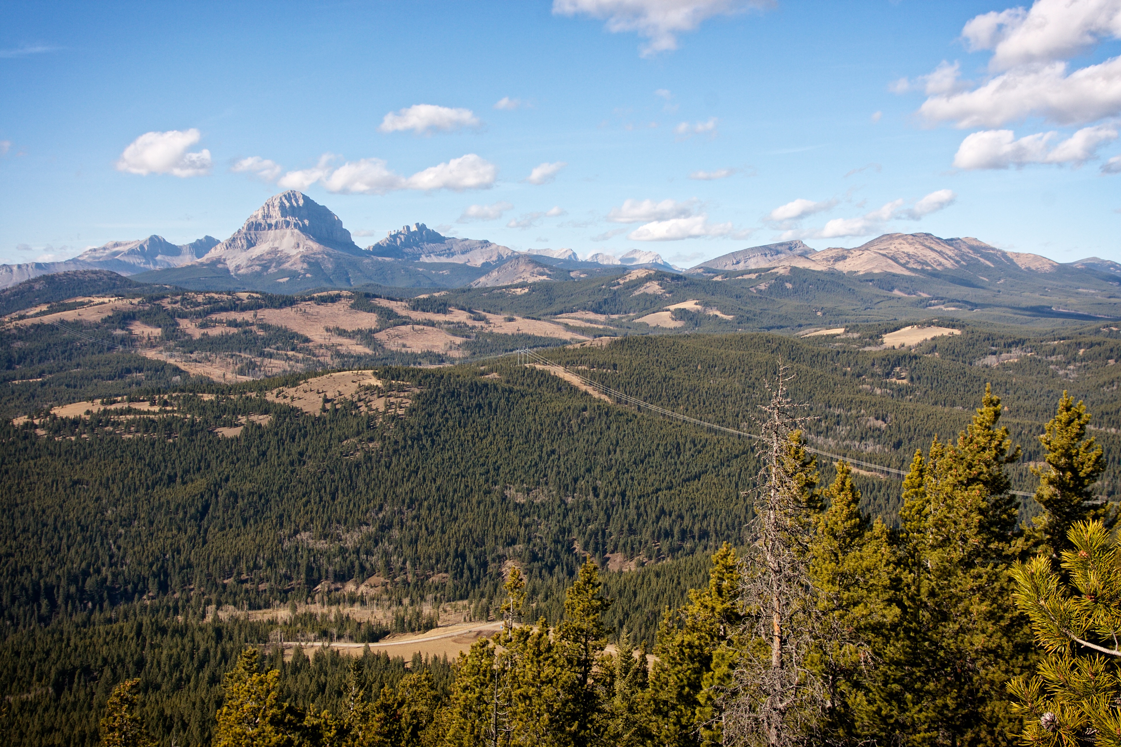
The views from the summit are excellent. From left to right: Sentry Mountain, Loop Ridge, Crowsnest Ridge, Phillipps Peak, Mount Tecumseh, “Deadman Peak”, Crowsnest Mountain, The Seven Sisters,“Pa Butte”, Ma Butte, and McGillivray Ridge. In the foreground from left to right: “The Saddle”, Wedge Mountain, and Saskatoon Mountain.

The view to the east is dominated by Bluff Mountain and Turtle Mountain.

Looking south at Mount Coulthard, Andy Good Peak, Mount Parrish, Mount McLaren, Chinook Peak, and Sentry Mountain.

A sneak peak at the cover of next month’s issue of GQ 😉 This was Brad’s second time on the summit of Greenhill Ridge.

A telephoto of Phillipps Peak, Mount Tecumseh, “Deadman Peak”, Crowsnest Mountain, and the Seven Sisters. Wedge Mountain and Saskatoon Mountain are in the foreground. “Shooting Star Peak” and “Alexander Creek Mountain” are to the right of centre.
Mount Ward and Racehorse Mountain can be seen in the distance between the Seven Sisters and Ma Butte.

Brad leaves the summit via an old mining road.

We soon came across some large cables that emerged from the ground.

Examining what’s left of a pulley system.

One last view to the west. It was such a gorgeous day!

Looking back up the mining road to the summit.
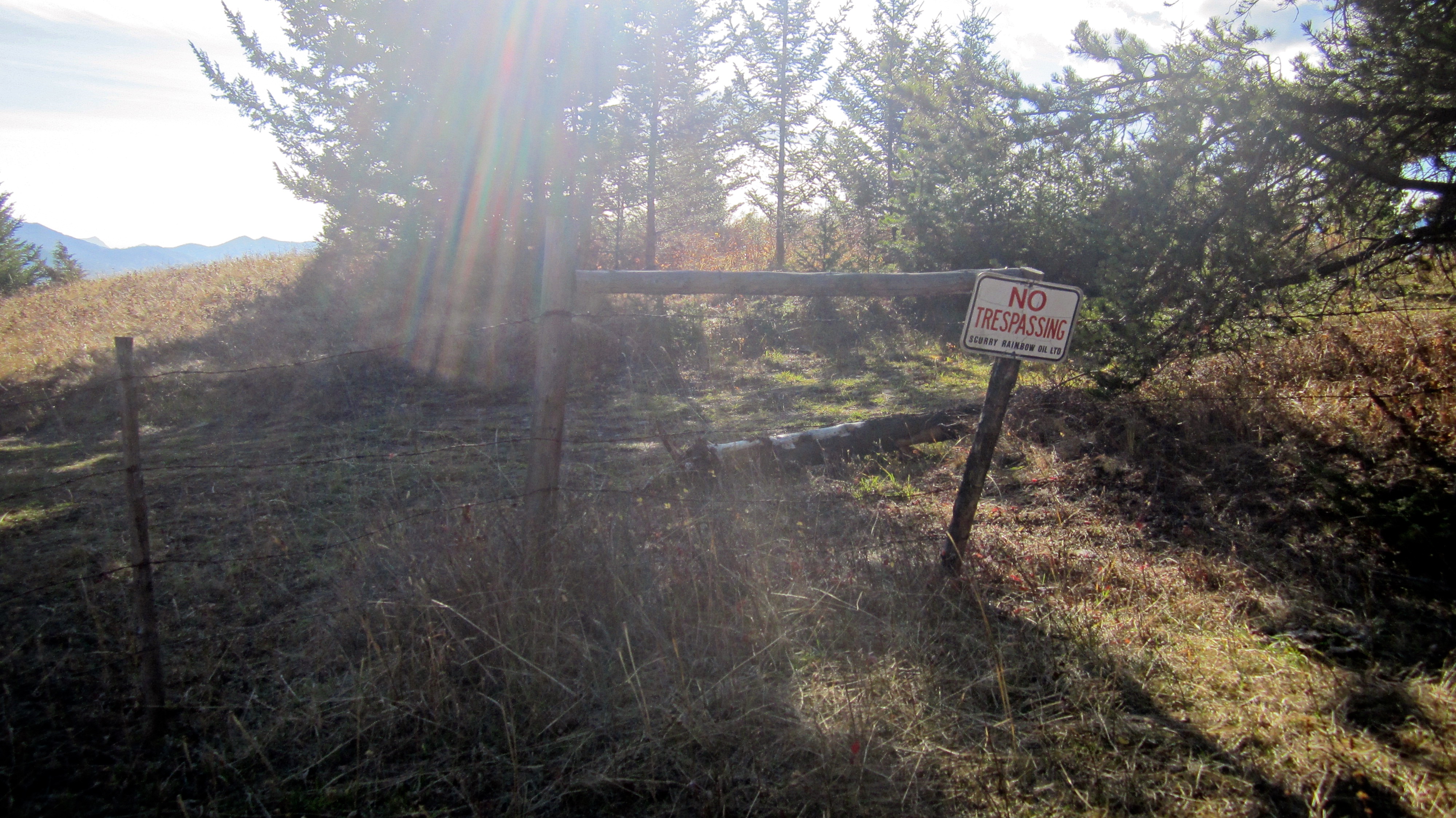
We followed the mining road until we came this fence and sign. To avoid trespassing, we had to drop down the west slopes to Grassy Mountain Road.

On our way back, we made a slight detour from our ditch route next to the highway and examined a Catholic cemetery.

This epitaph is written entirely in Italian.

The last leg of the journey.

Arriving back at Brad’s vehicle after ~13.5 km and 6 hours and 50 minutes. The scramble up Bluff Mountain, the discovery of pictographs and an unexpectedly beautiful ridge walk had already made for a great day. Adding in Greenhill Ridge as part of our descent plans put the whole day over the top.


Leave a Reply