


![]()
![]()

With Lethbridge reaching 20 C this week, I was curious what effect this prolonged stretch of unseasonably warm weather was having in the mountains. Thankfully, the most recent data from the Government of Alberta’s snow water equivalent measurements (snow pillows), show a surprisingly healthy snow pack which is great news for southern Alberta’s reservoirs. Now, while I won’t complain about mild temperatures in early February, I’m hoping that we continue to receive a decent amount of precipitation so that we can continue our trajectory away from the recent cycle of drought. Fingers crossed!
When Jeff and I climbed Spread Eagle Mountain in July 2013, we more or less used Bob Spirko’s and Sonny Bou’s 2009 ascent route that in turn, had used Andy Nugara’s alternate descent route from, More Scrambles in the Canadian Rockies. While a fantastic trip, one of the things I wished we had done, was include a trip to Spread Eagle’s West Summit. I’m not sure why we didn’t do it, but it has always been my intention to return one day to see the cool pinnacles on the connecting ridge between the false summit and the true summit. Well, today was that day. 🙂
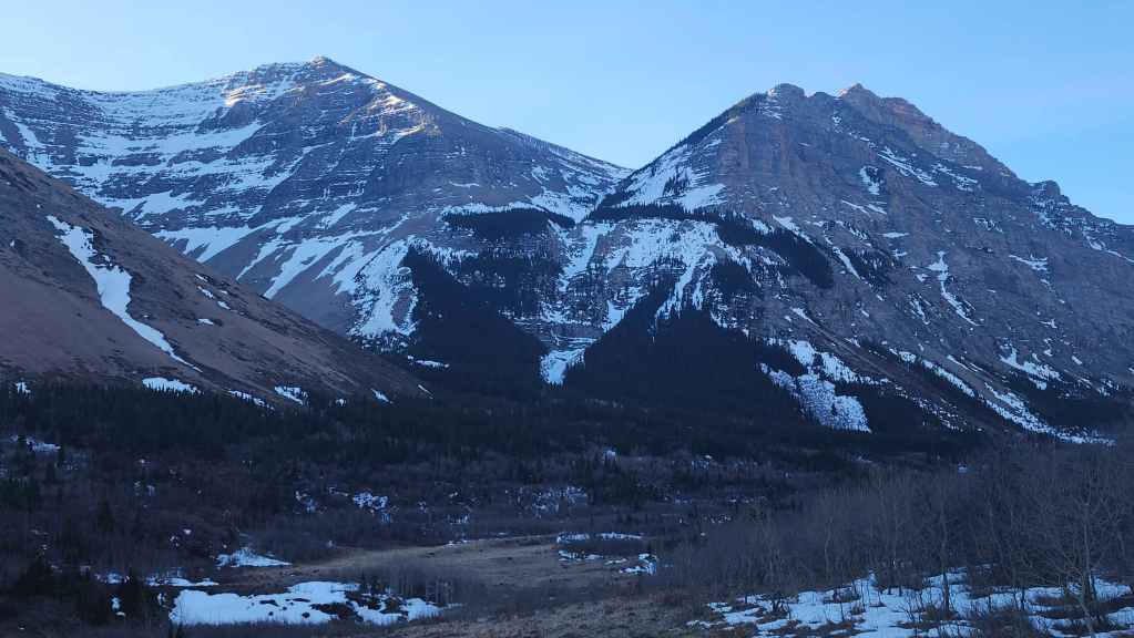
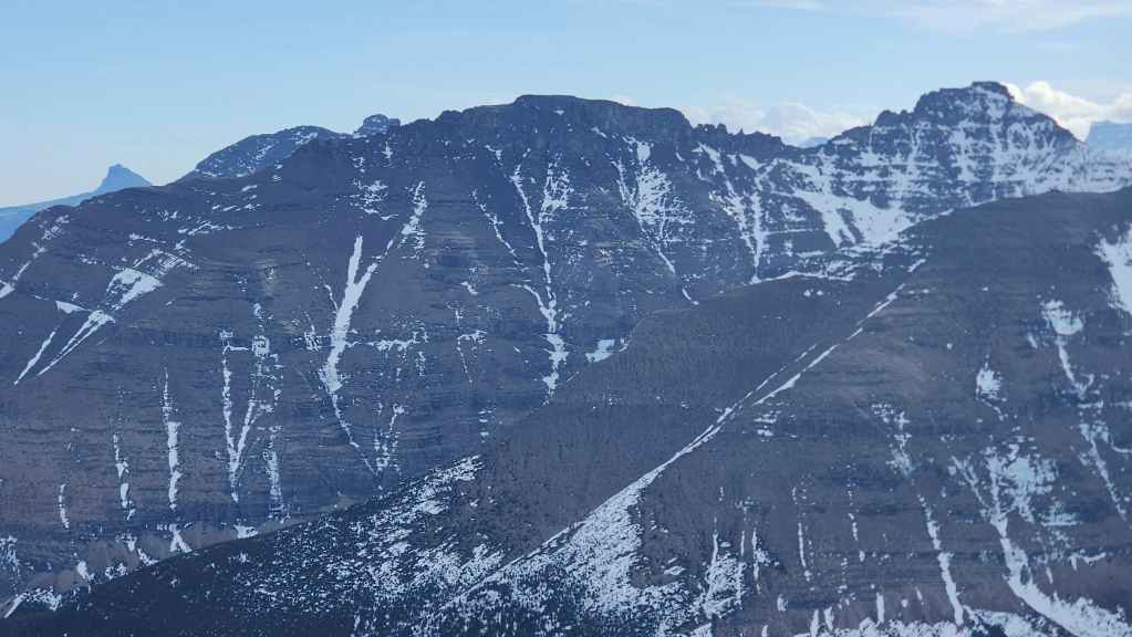
Though officially called Mount Roche, the local name of Spread Eagle Mountain is most commonly used when referring to the east end of Spionkop Ridge. This name undoubtedly comes from the mountain’s shape, for when viewed from the north and northeast, the two summits of Spread Eagle Mountain in combination with a high point on the ridge between them, look like a bird in flight, with each summit comprising the tip of a wing and the centre high point as the body of the eagle. Once you see it, you can’t stop seeing it.
Of course, with the warm temperatures comes the wind, and today it was raging, with gusts easily in excess of 100+ km/h. This is partly why Brad and I chose the West Summit as an objective, naively thinking that we’d be sheltered for most of the day. However – and you’d think we would know this by now – the wind whirls and swirls as it compresses through the topography, and even when you think you’re safe, it will still suddenly knock you off balance.
In fact, today’s wind was on a distinct mission to discourage and perhaps even murder us. Both of us were knocked down several times and we had to be extremely cautious on the narrow ridge between the false summit and the true summit, where the exposure was severe. We ended up crawling onto the summit; making no attempt to stand up. On the way down, we were not expecting the wind to harass us on the frozen scree slope above the drainage. However, it made descending the frozen surface a trickier endeavour than it already was.
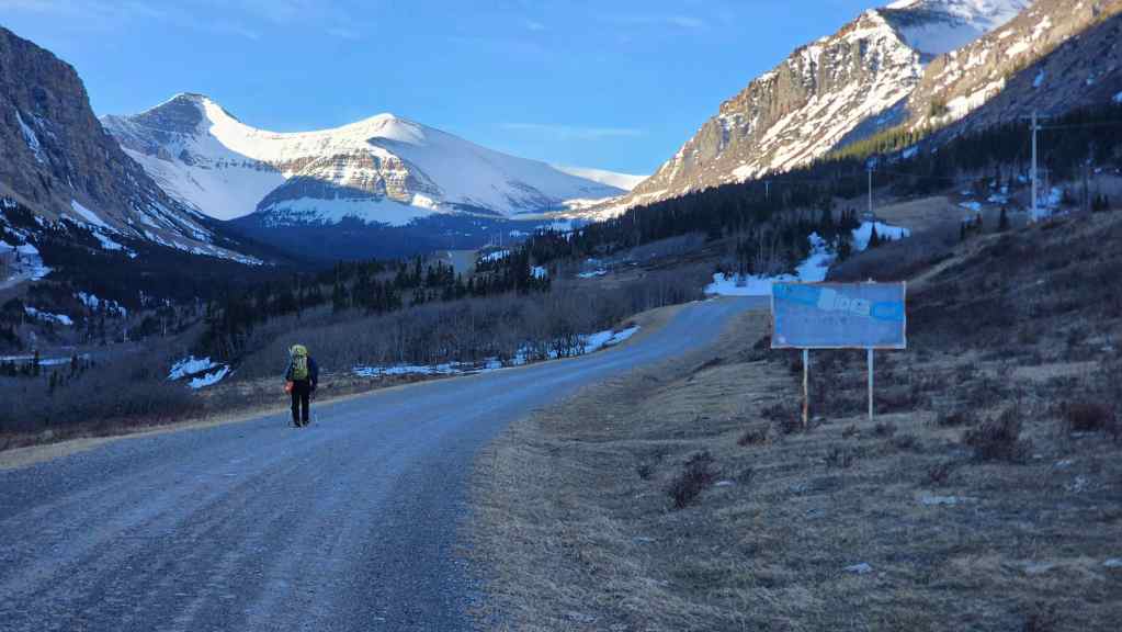
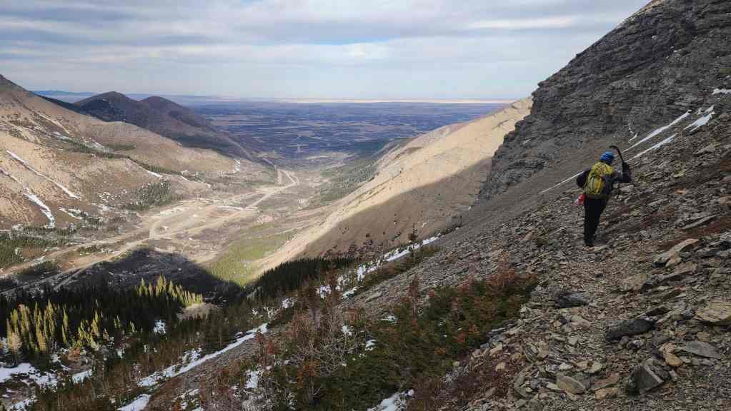
Once back on the road, the wind finally played in our favour as it pushed us along the ~4 km walk to the trailhead. I wish we had brought bikes for the approach, but there was no way our human-powered bikes would have worked against the wind. We’d have pushed them most of the way up. However, on the way back wth the loss in elevation combined with the wind, I bet we could have set some kind of land speed record. 😂
All in all though, this ended being a fantastic outing where we were treated to some great views. It also settled some unfinished business that had been lingering since 2013. I know Brad has yet to tag the true summit of Spread Eagle and I’d be all over a return trip, especially if it involved Andy’s scramble route from the east. 🙂


I forgot my GPS at home so this is an approximation of our route.
To get to Spread Eagle’s West Summit, we drove north along Highway 6 from Waterton National Park until we came to the turnoff for Spread Eagle Road (Township Road 34). Here, we turned left and onto Spread Eagle Road. We then drove for ~8.2 km until we came to a T-intersection with Range Road 303. We then turned right and followed Range Road 303 for ~4.4 km until shortly after crossing Spionkop Creek, we came to an intersection with a gated gas road on our left. We turned left and towards the gate before parking off the side of the road, This was our starting point.
After gearing up, we hiked along the gas road for ~3.9 km (50 minutes) until we came to an obvious fork in the road. We took the left fork, walking along it for another ~200 m before leaving it to cross Spionkop Creek and enter the drainage. Once in the drainage, it was a ~735 m hike to reach the scree slope we would ascend to reach the trail. The trip to the top of the scree was ~300 m and here is where we gained the well-trodden trail that would take us into the hanging valley located between the West Summit and the centre high point.
Once in the valley it was a matter of following the drainage for ~800 m towards the ridge before ascending snow-covered slopes to the false summit. Once on the false summit and with the intensity of the wind, we used Bob Spirko’s chimney route to gain the summit ridge as opposed to trying to climb through the pinnacles and risk the exposure. After a blustery stay on the summit, we returned the way we came; though the frozen ground on the scree slope – combined with the wind – slowed our descent. Once back in the drainage, we followed it back to the road and then back to the trailhead.


As I forgot my GPS, everything is an approximate. Our total roundtrip distance was ~14 km and our total roundtrip time was 7.5 hours. From our approximate track in Garmin, our total elevation gains were ~1012 m. For reference, it took us roughly 4 hours to reach the summit from the trailhead.
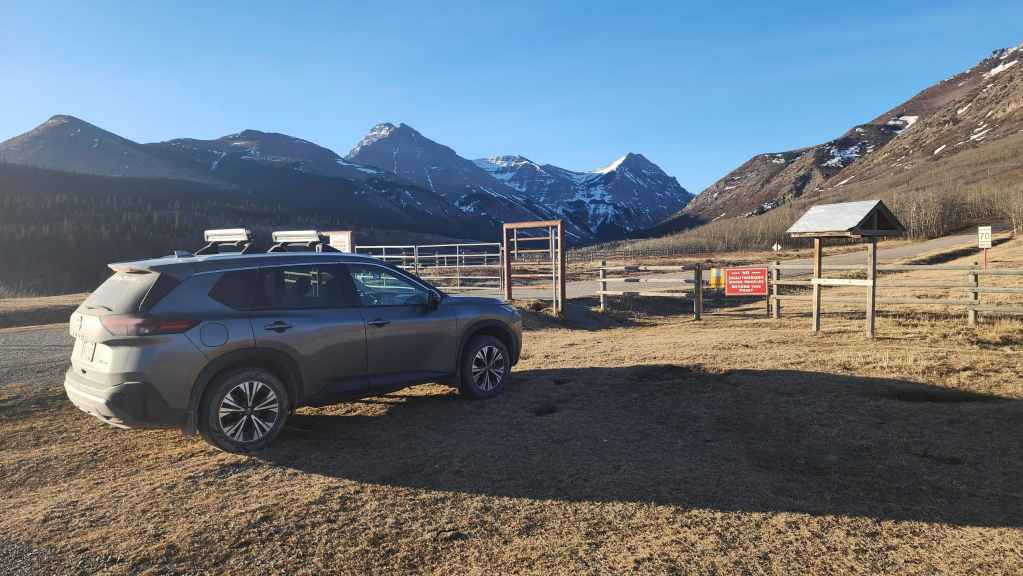

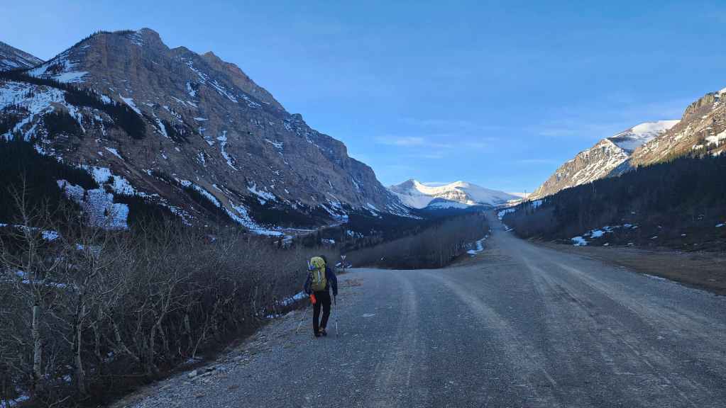
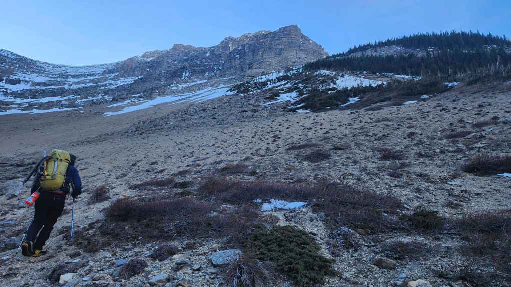
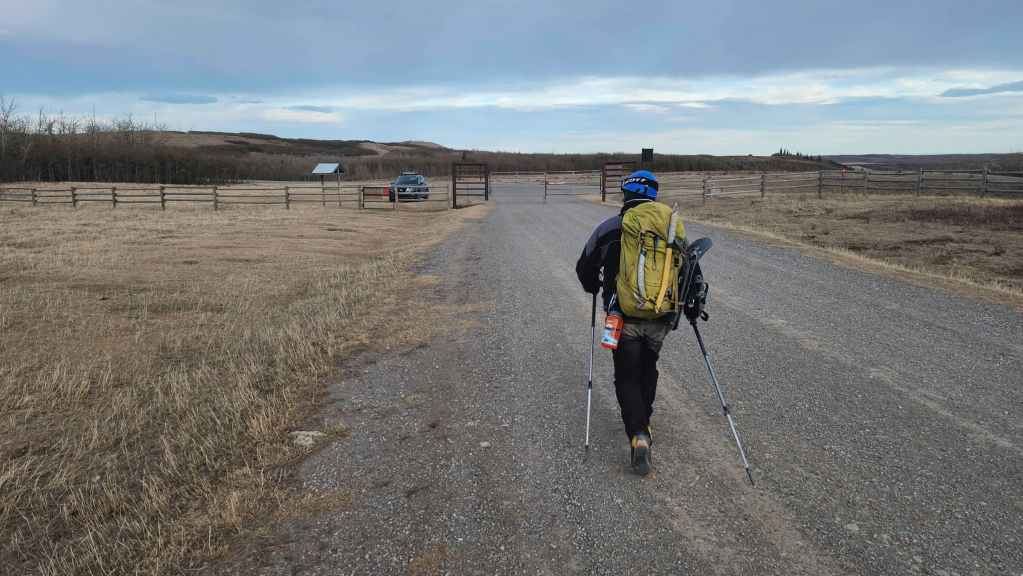
Gearing up at the trailhead with the West Summit in the centre. Yet again, it was another day of insane wind.

We should have brought bikes for the ~4 km approach, but with the wind coming at us head-on, we would have had to push them anyway. Now coming back at the end of the day, that’s another story… 😳

The ice climb, “Opaque Genius” is not looking too good.
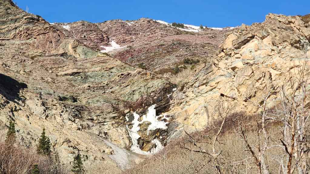
A closer look at what’s left of “Opaque Genius”.
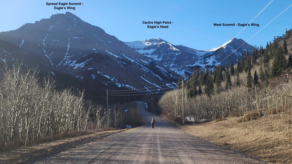
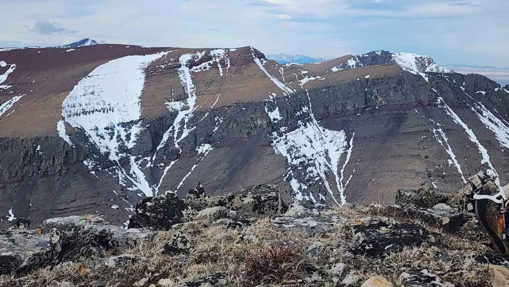
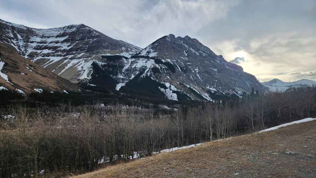
I believe it’s called Spread Eagle Mountain because it looks like an eagle in flight, with the summit of Spread Eagle as the wingtip on the left and the West Summit as the wingtip on the right. The high point in the centre is the body of the eagle – and under this lighting, it definitely looks like a head and beak!
Thanks to the sign, we made sure that all the buckles on our packs were securely fastened. 😂
Our route would go up the scree slope to the left of the trees in the centre.
Approximately 3.9 km from the trailhead the road forks. We would keep to the left.

The view along the drainage that we will use to access the scree slope (centre).

From the fork, we followed the road for ~200 m before leaving it to start up the drainage.

Brad crosses Spionkop Creek.

Starting up the drainage.

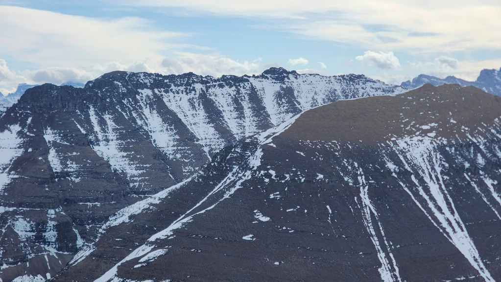
Looking back at “Bakery Peak” on the northeast end of Loaf Mountain.
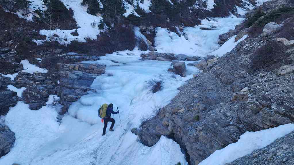
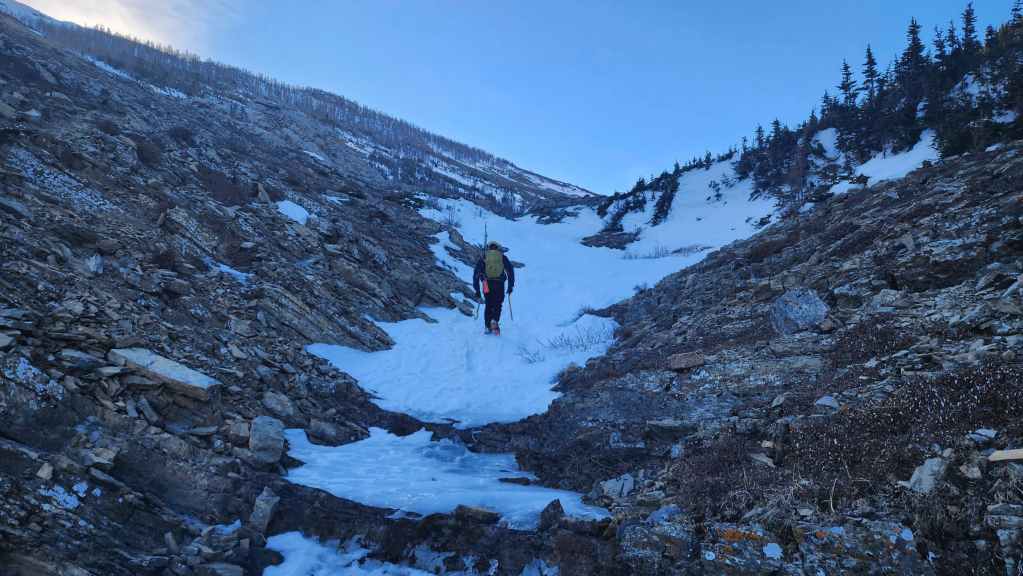
Brad passes a frozen waterfall in the upper reaches of the drainage.
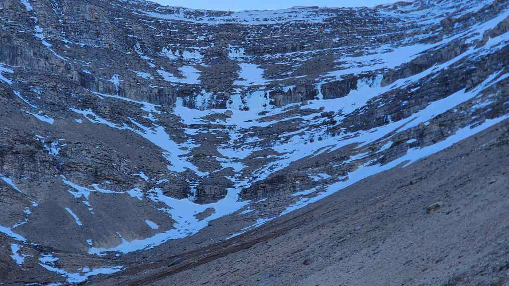
The headwall also sports a few waterfalls.
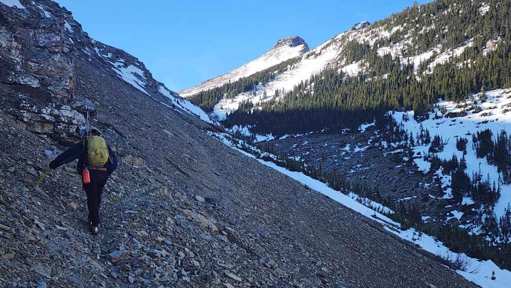
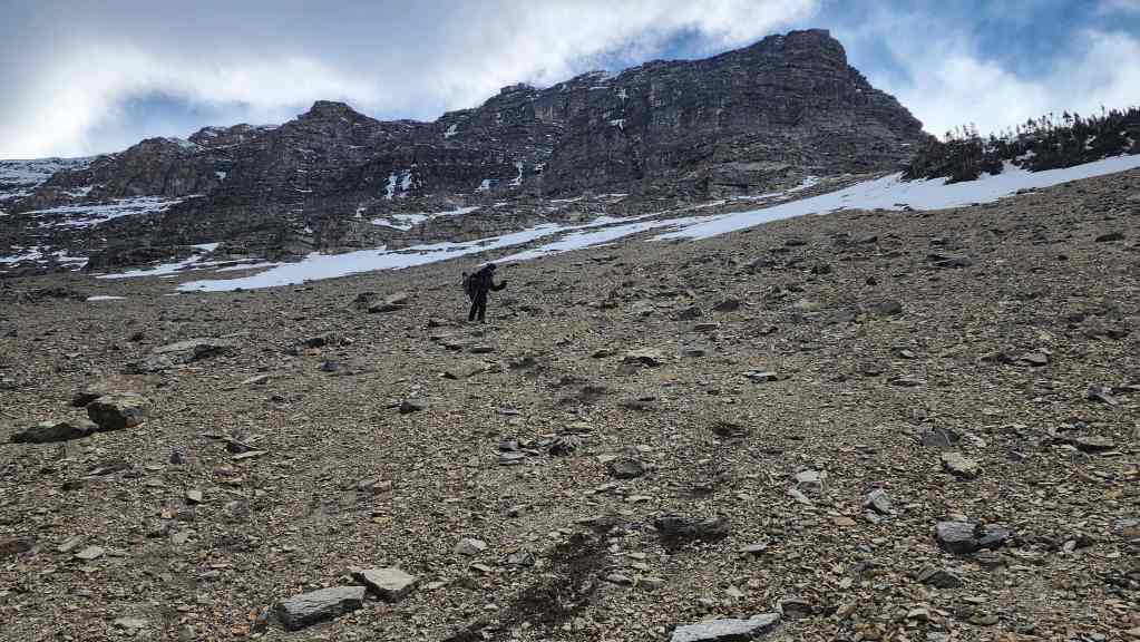
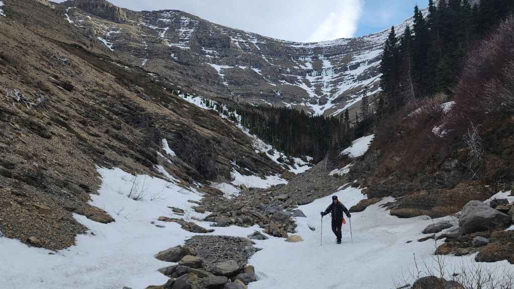
Starting up the scree slope. I’d forgotten how steep it was…

While I stuck to the rocks, Brad followed a trail for as long as he could.
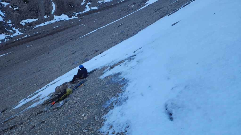
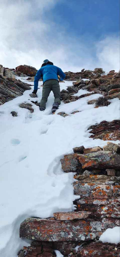
The upper section featured snow, ice, and scree-covered ice. While this was fairly easy to ascend with crampons, coming down proved to be trickier than expected.
Brad leads the way.

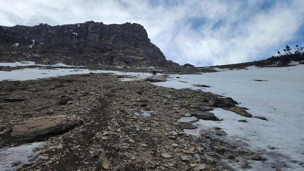
Nearing the top.
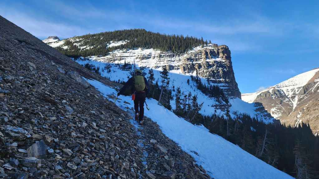
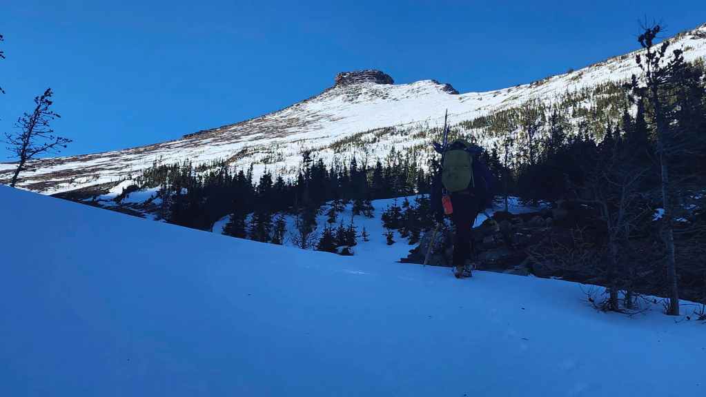
On the trail and heading toward the entrance of the hanging valley.
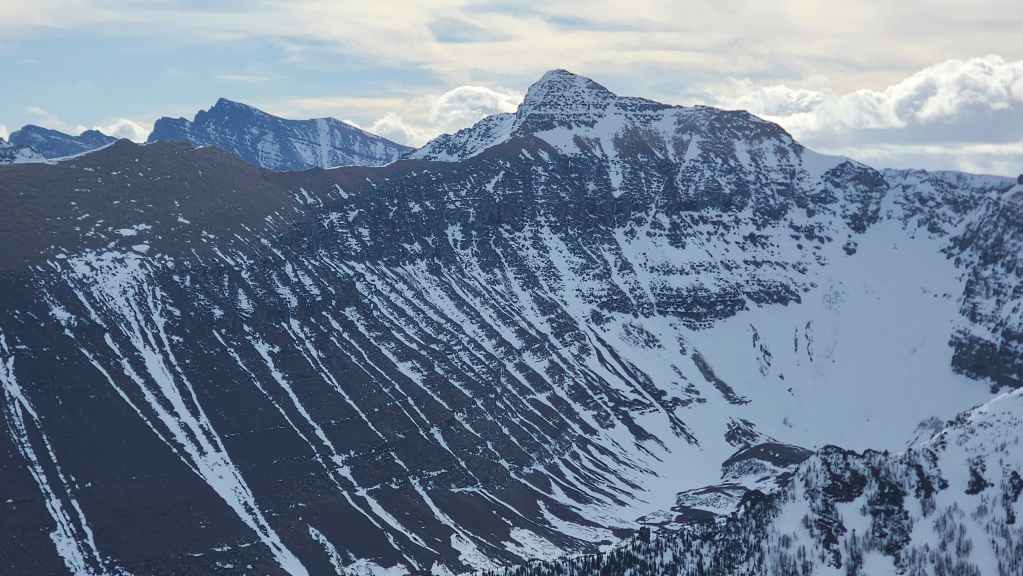
The false summit (centre) comes into view.

Arriving in the valley.

The view towards the top of the waterfall at the entrance to the hanging valley.
Following the drainage toward the ridge.
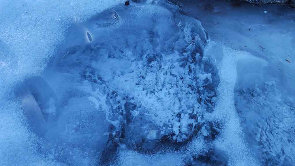
A very cool ice formation.
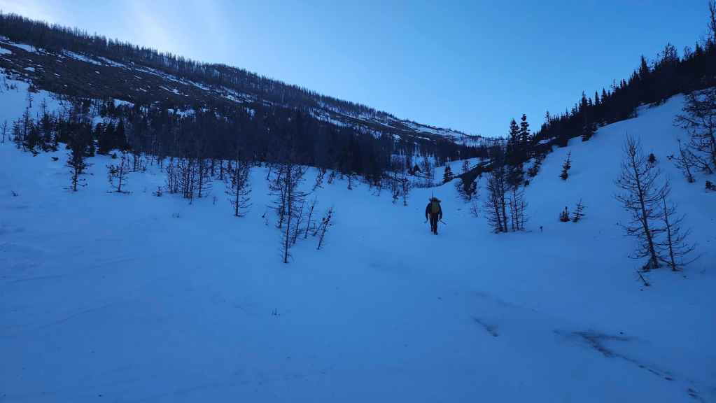
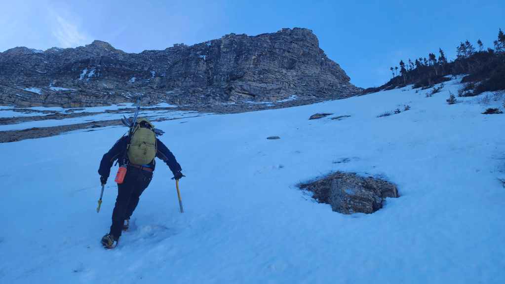
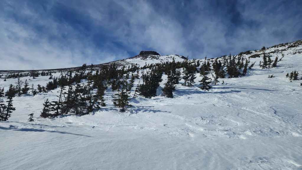
Thankfully, the snow was firm and we could easily hike on top of it.
Our first good look at the false summit.

It was a gorgeous day – except for the wind. 😠
Heading up to the false summit.

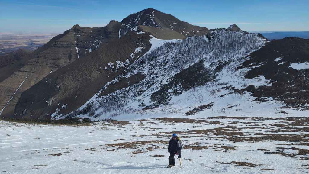
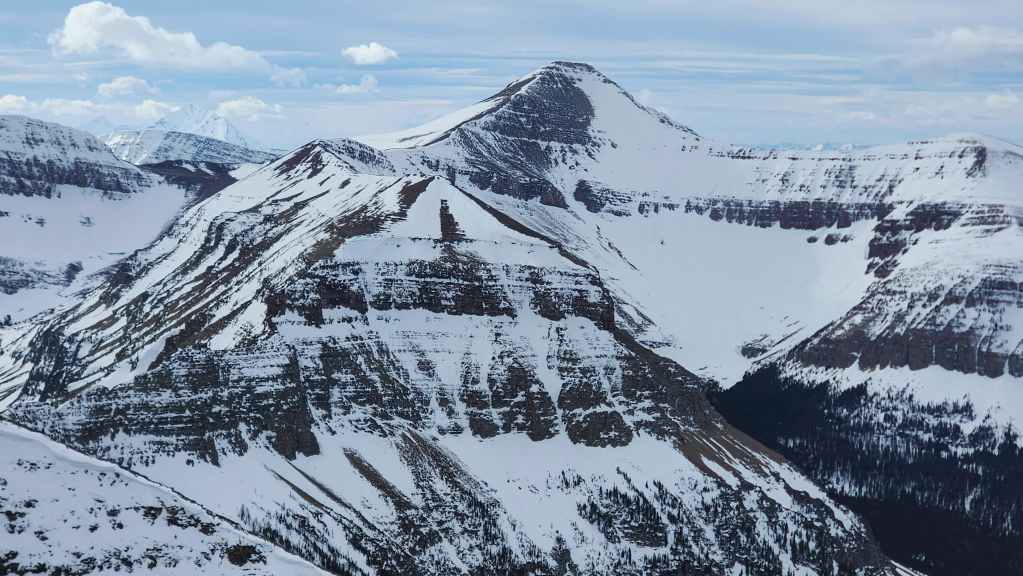
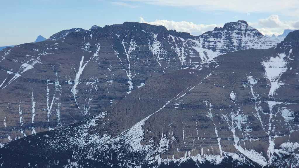
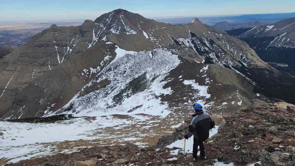
After gaining some elevation, we could now look back and see the summit of Spread Eagle Mountain (centre).
As we neared the top, we could also begin to see the summit of Mount Yarrow (right).


A pano as we approach the false summit.

Nearing the false summit.
The rock provided a temporary refuge from the wind.

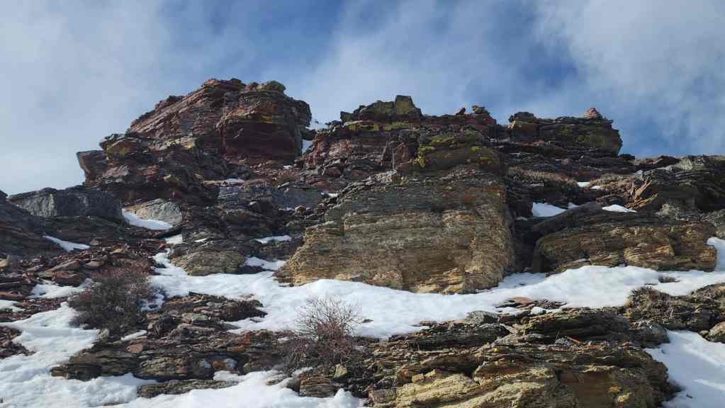
You can almost always find stunning colours on the mountains in this area.
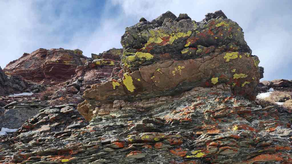
More red argillite and lichen…
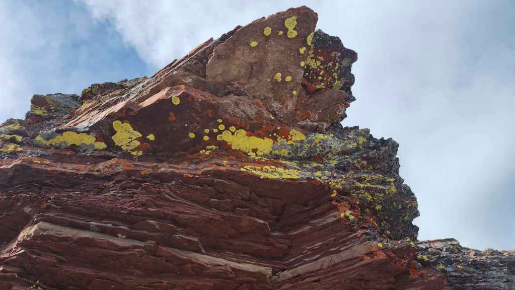
Followed by even more.

The view back as we climb onto the false summit.
I took the opportunity to take a pano to the south and southeast.


I chose the most sheltered spot I could find for the quick ascent. (Photo by Brad Wolcott)
Looking over at “Bakery Peak”.

Now over to Mount Yarrow.

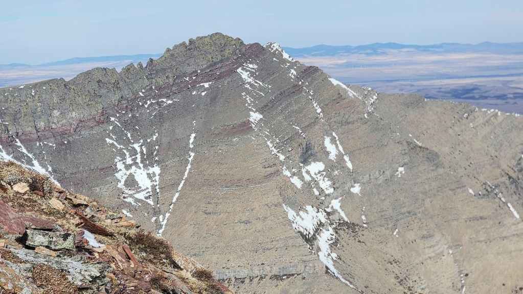
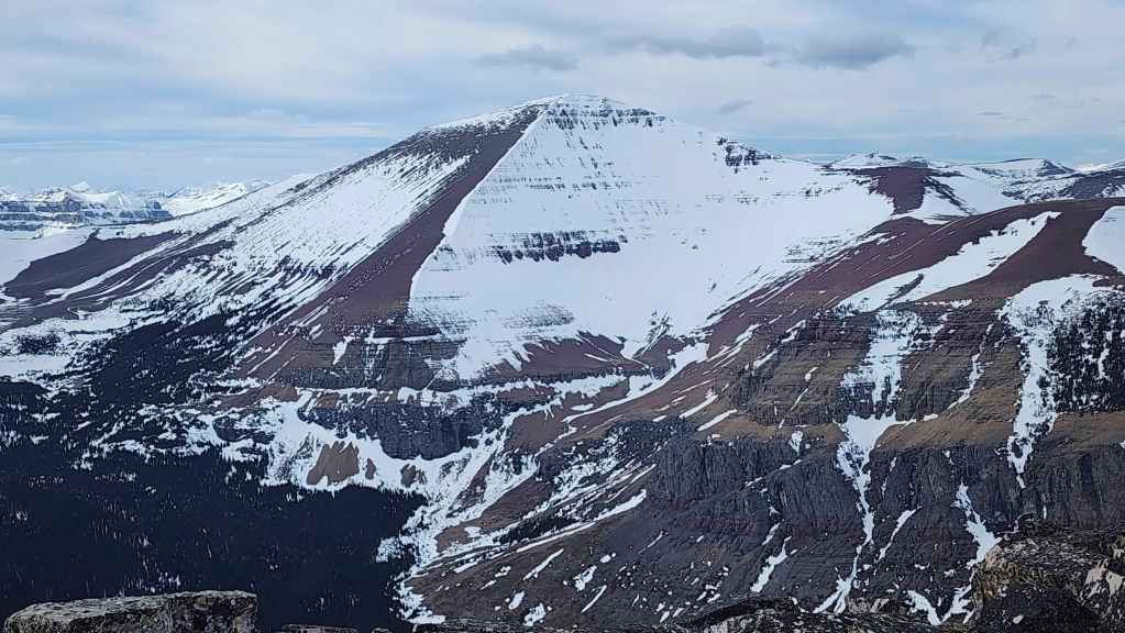
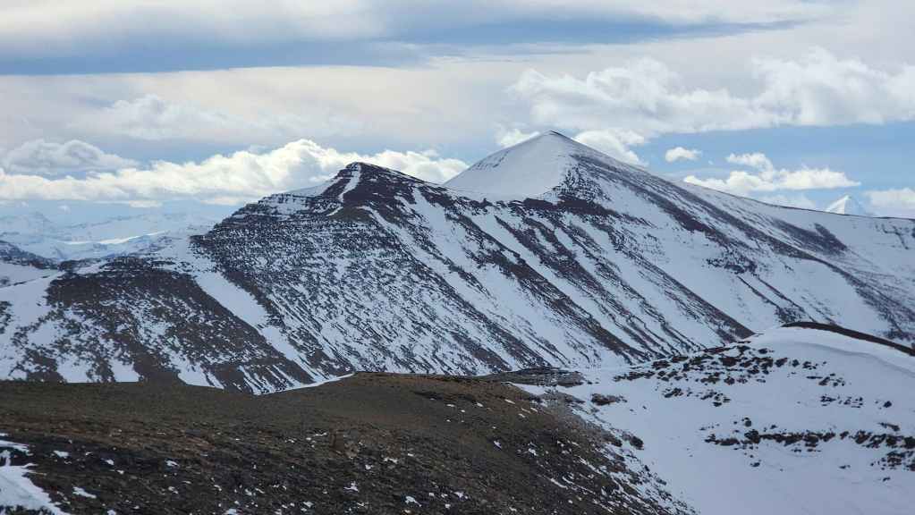
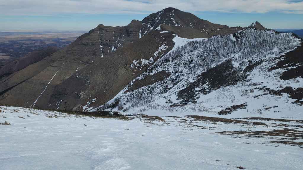
A good look at the summit of Spread Eagle Mountain.
Cloudy Junior (centre) and Cloudy Ridge (right).
The summit of “Cloudowan Peak” (right of centre). This was a fun trip!
Finally, Mount Glendowan (right of centre) with Piinaquiium / Ahkoinimahstakoo (Mount Blakiston) on the left.
I’m about to get blasted by wind. To prepare for this, we dropped our packs in the shelter of the rocks. (Photo by Brad Wolcott)

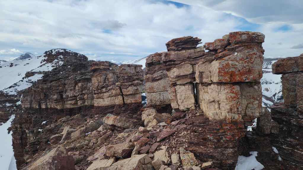
The cool pinnacles that mark the top of the false summit and the start of the summit ridge.

Trying hard to keep our balance as we look toward the summit (centre).

Though it was possible on a non-windy day to make the short but exposed scramble through the pinnacles to gain the ridge, we opted to use Bob Spirko’s chimney route. This is found by sticking to the left side of the ridge.


Brad starts up the chimney. It’s a good route, but the lack of a foothold at the bottom, makes starting off a bit awkward.
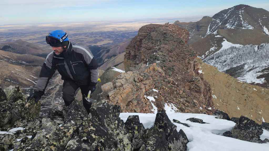
A quick smile between wind gusts. We had to keep low and as far away as possible from the sides.

Approaching the summit. Again, as the wind was blowing predominantly from climber’s left to climber’s right, we avoided the crest and any chance of being blown off the north side of the mountain.
Looking back from the vantage of the previous photo.
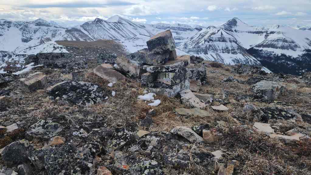
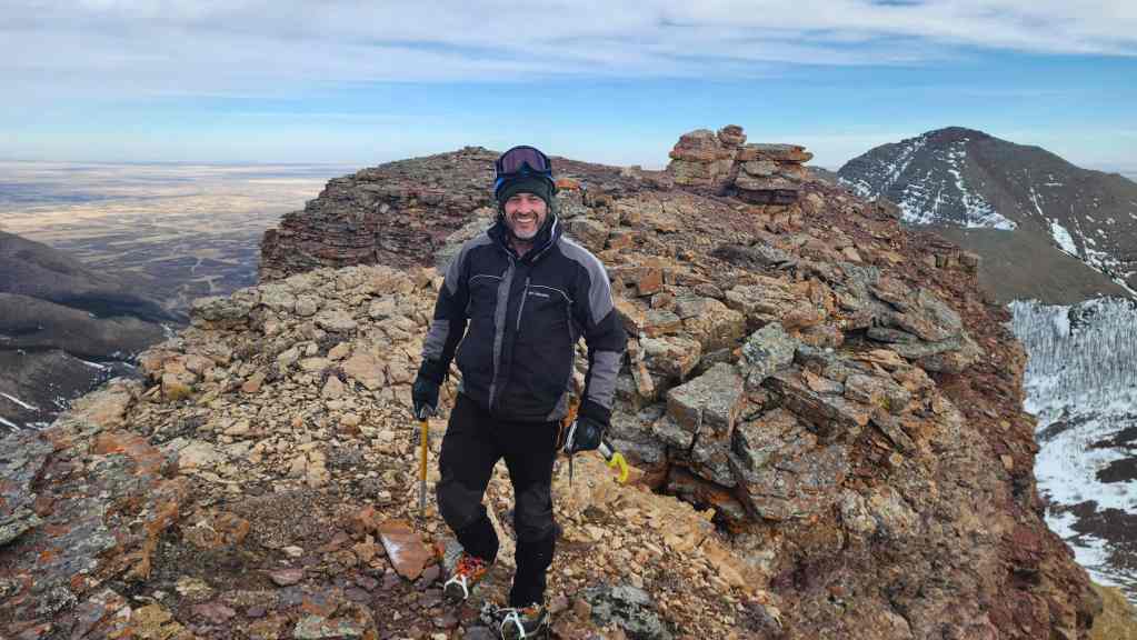
A small cairn sits on the West Summit (2433 m). We crawled onto the summit and did not even try to stand up.
Brad gets ready to crawl as he joins me on the summit.
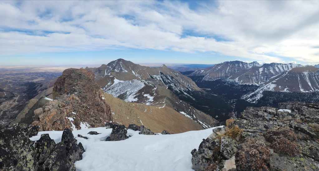

A pano to the east…
And then one to the south.


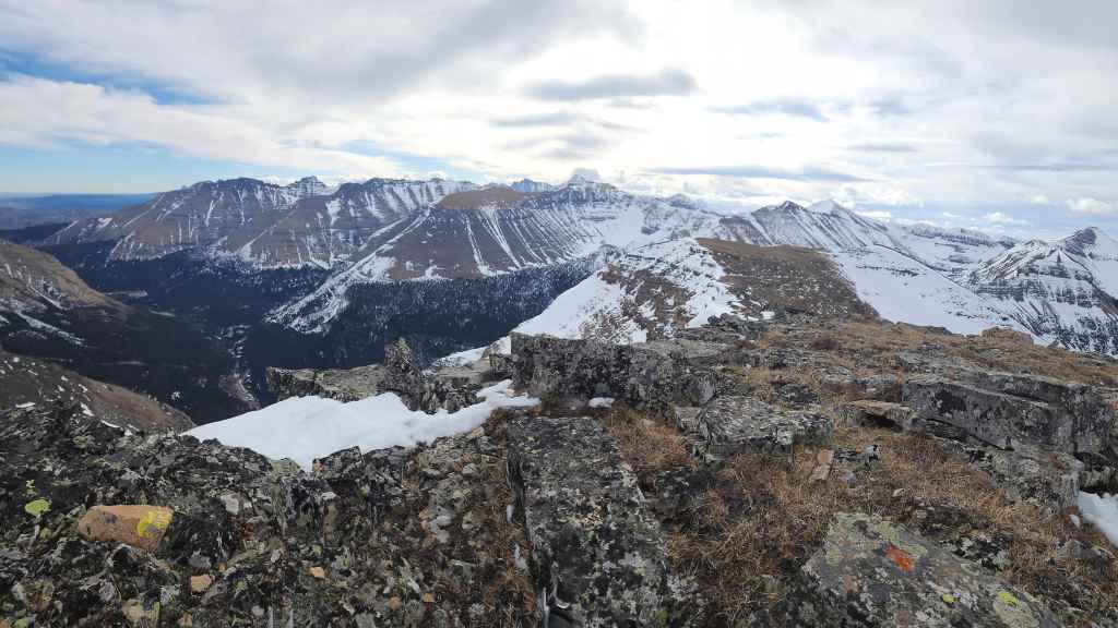
Gazing to the west…

And finally to the north.
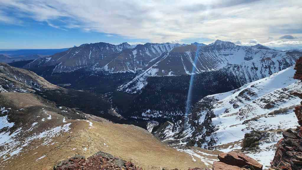
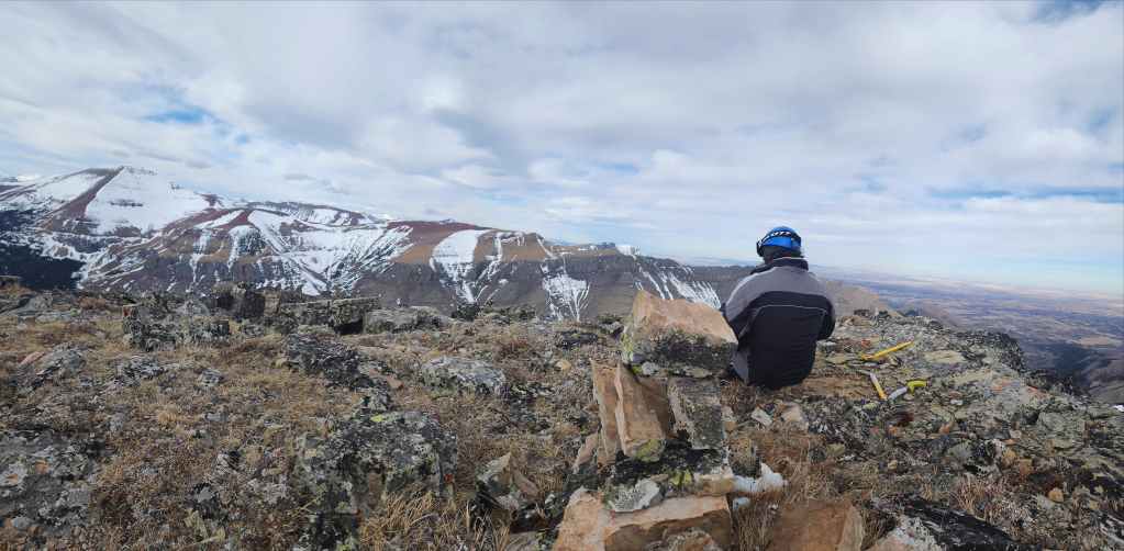
Looking over at Loaf Mountain. I’m probably due for a return trip…
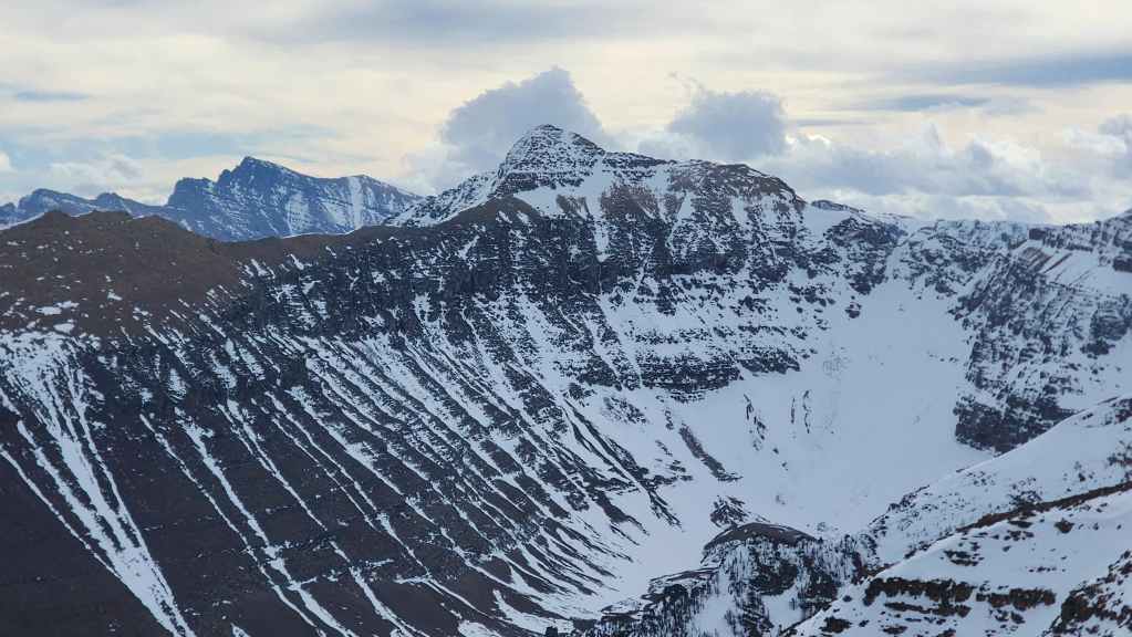
The view across to the northeast end of Loaf Mountain shows “Pastry Peak” (centre) with the summit of Drywood Mountain (right) poking over the ridge.
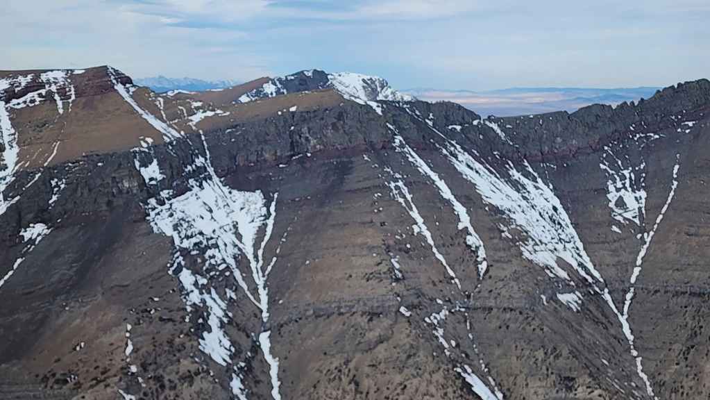
The summit of Spionkop Ridge.
Glancing toward “Newman Senior”. That trip ended up being an adventure! 😳
Mount Glendowan (centre) with Piinaquiium / Ahkoinimahstakoo (Mount Blakiston) on the left.
Another look at “Cloudowan Peak” which sits between Cloudy Ridge and Mount Glendowan.
“Cloudy Junior” (centre) and Cloudy Ridge (right).
Looking across to “Bakery Peak” (centre).
Yet another view to the summit of Drywood Mountain (centre) with “Pastry Peak” on the far left.

Brad’s happy that despite trying, the wind hasn’t yet murdered us. 😂

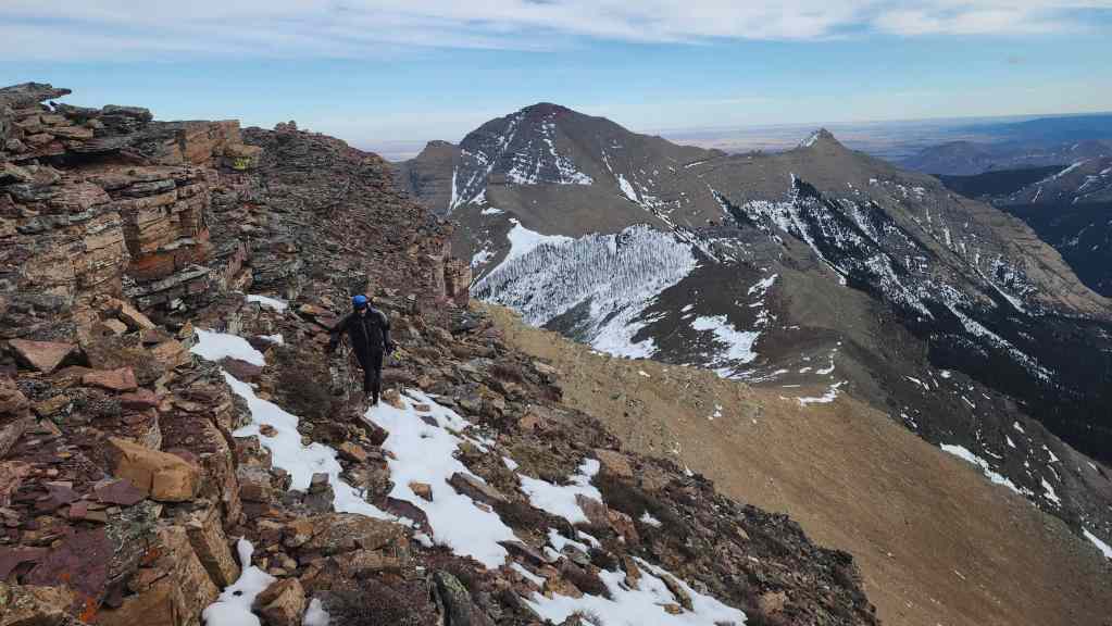
Making a cautious retreat off the summit.

Climbing down the chimney.

I audition for the role of Smeagol. 😂 (Photo by Brad Wolcott)

Brad checks out the pinnacles on the false summit.
Looking back at the West Summit.
Heading down. The wind had increased it’s intensity and it knocked each of us down more than once.
I was able to initiate a small glissade but it was not by choice. The wind knocked me to the ground and I finally said, ‘@#$% it!’ and slid as far as I could.
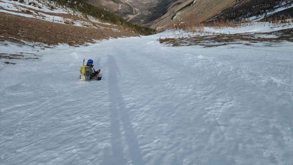
Brad makes a more calculated glissade inside the drainage.
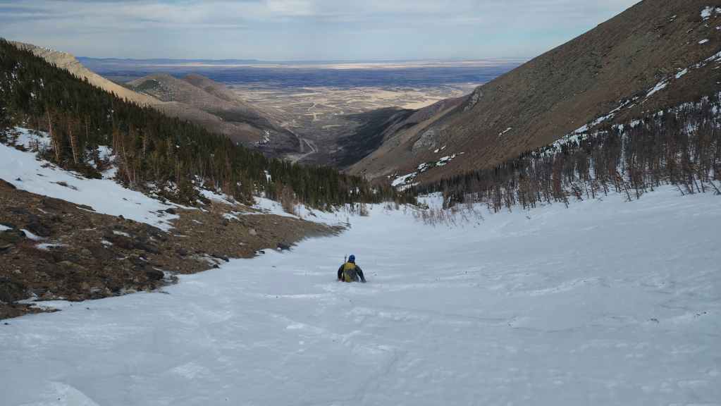
Brad continues his slip n’ slide experience. We thought we were home free at this point.
Following the trail back to the scree slope. The wind did not let up and kept pushing us down from behind.
Brad carefully negotiates ice and frozen scree. This ended up being trickier to descend than we were expecting, in part, because the wind somehow found a way to harass us on a supposedly ‘sheltered’ section of the mountain.
Finally off the scree and ice.
Back in the drainage.

Arriving at the bottom of the drainage.
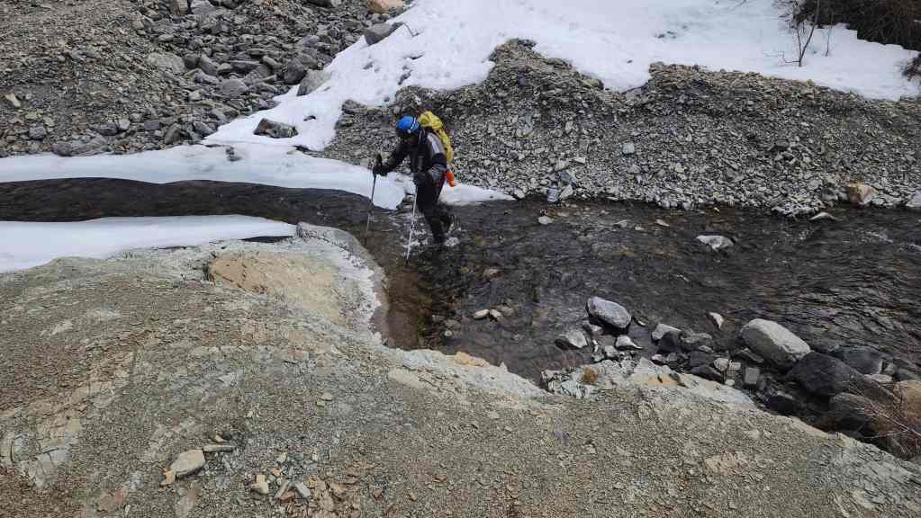
Crossing Spionkop Creek.
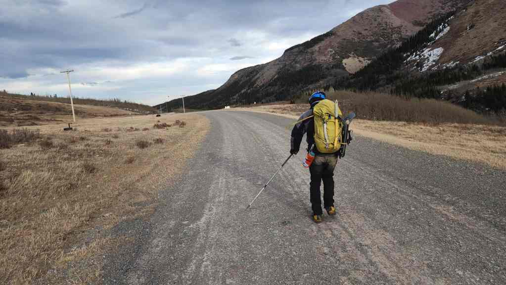
Settling in for the ~4 km walk back to the trailhead.
A final look at the West Summit (centre).
Arriving back at the trailhead approximately 7.5 hours and 14 km after starting. Despite the crazy wind, it ended up being a great trip and I was grateful that we could ascend something of size at this time of the year. As always, a huge thanks to Brad for all the fun and for joining the ranks of old men who swear at the wind. 😂