
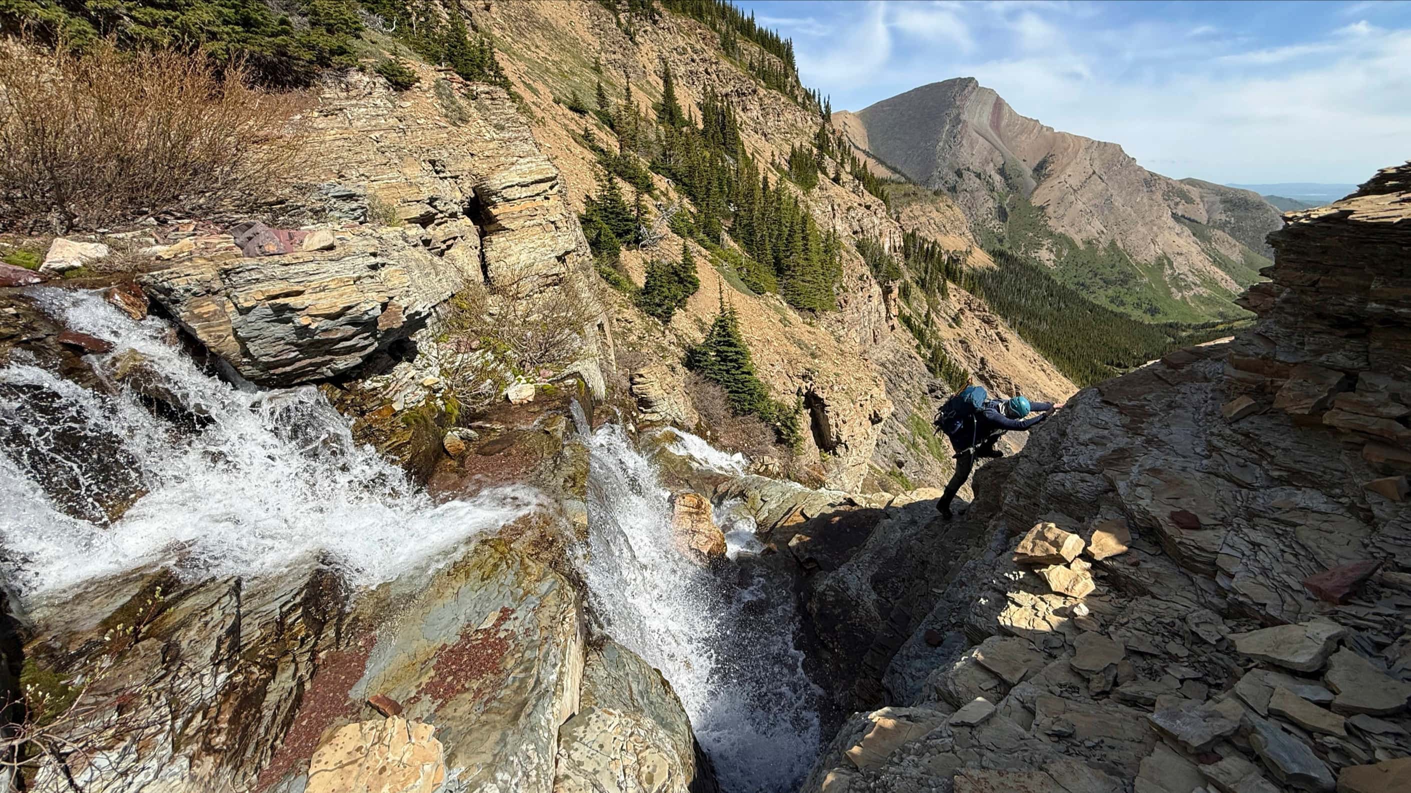
⚠️ Hiking and scrambling are inherently dangerous activities. Please read my Disclaimer. ⚠️
When Morris Parsons Bridgland pronounced, ‘Glendowan’, as the mountain’s official name in 1915, he was following the long-standing colonial practice of naming (and renaming) the North American landscape to make it palatable for settlement and ‘civilization’. As historian Greg Gillespie observes, cartography creates “an image of the land as a blank slate while simultaneously filling in the tabula rasa with borders, geographical lines, and place names familiar to the colonizers.” (Gillespie, Greg. “’I Was Well Pleased with Our Sport among the Buffalo’: Big Game Hunters, Travel Writing, and Cultural Imperialism in the British North American West.” The Canadian Historical Review 83, no.4 (2002): 570) That this process also involved the pictorial – such as Paul Kane’s nineteenth-century pastoral depictions of the western Canadian landscape – it thus served to create a powerful and nostalgic claim for the appropriation of land and culture.
Indeed, if you consider that Mount Glendowan is named after the Glendowan Mountains in County Donegal in North West Ireland, it is reasonable to assume an evocation of the familiar from immigrants hailing from the British Isles. Perhaps, as Dave Birrell notes, “the narrow, steep-walled valley to the northeast of the mountain reminded Bridgland of the deep glens of Ireland.” (50 Roadside Panoramas in the Canadian Rockies, 147). However, even if Bridgland was simply ‘waxing nostalgic’, the effect of naming this peak after a well-known Irish mountain range, nonetheless fits within the larger narrative of colonialism and settlement in southwestern Alberta. Simply put, the transplanting of names from the British Isles to the mountains of Canada, underscored the dominant culture’s claim to not only own, but control the land and its resources.
Of course, now that I’ve thoroughly ruined this mountain by inserting it into the larger historical context of the late nineteenth / early-twentieth centuries, you might wonder if there’s any joy left in climbing it? To this, I will give a resounding yes! 😁 Though I’d prefer it to have a Siksikaitsitapi name – as most of the mountains in the area should have, or at the very least, a name connected to local history – I will say that Glendowan is an excellent scramble.
Since neither Brad, or I, had attempted it before, we consulted Andrew’s More Scrambles in the Canadian Rockies for basic information – along with trip reports from Vern Dewit, Alison Sekera, and Bob Spirko. To be honest, we found it to be an incredibly straightforward mountain, with routes that allowed us to enjoy our instincts and experience. In fact, once we put our poles away at the first rock step, we did not take them out again until we were on our way down – that’s how much scrambling there was!
Moreover, while there are bypass routes for almost every obstacle up to the summit, Brad and I committed ourselves to seeing how long we could stay on the crest of the south ridge – tackling as much as we could either head-on or close to head on. This resulted in some great fun and scenery. Even after arriving at the summit block and knowing there was an easy gully to the top, we elected to climb the first available section that would take us back onto the crest – which we then followed to the summit, thus keeping to our plan.
In fact, the only difficulty we had, was coming down and bypassing what we had scrambled, particularly in the section of black igneous rock where we felt it would’ve been better to have simply retraced our steps along the ridge. However, once past this section, we had a smooth and speedy descent as we avoided most of the remaining obstacles along the ridge.
All in all, this was a fairly quick scramble with easy access. My only disappointment was the smoke, which dulled the amazing colours on the connecting ridge to Newman Peak and “Newman Senior”. I would definitely not be opposed to a return trip, especially if it continued on to the “Newmans”. 😁

Our route up Mount Glendowan is outlined in Andrew Nugara’s More Scrambles in the Canadian Rockies. To get to Glendowan, we turned onto the Red Rock Parkway and drove to the Red Rock Canyon parking lot. From the parking lot, we made the easy hike (or bike) along the Snowshoe Trail for ~2.4 km until we reached a large drainage that crosses the trail. This is where we left the trail to access the south ridge of Glendowan.
We hiked along the left side of the drainage for a short distance before trending climber’s left through the trees to gain the ridge. Once on the ridge, things were incredibly straightforward. Approximately 2 km after leaving the trail for the ridge, we emerged above the treeline, with the scrambling beginning soon after.
Being confident scramblers, we tackled almost every obstacle head-on – trying to stay on the ridge crest as much as possible. However, pretty much everything could’ve been bypassed to climber’s left, but on some sections, we went climber’s right and found some neat routes. Things got really interesting in the section of black igneous rock, where the ridge begins to curve toward the summit. Here, the rock is generally good and though we were worried about encountering a big drop-off, this never happened. Eventually we arrived at the summit block.
Once below the summit block, we trended climber’s left (there was an obvious trail), but only for a very short distance, as a scrambling route back onto the ridge presented itself. However, had we kept going left, we would have come to the easy gully that we used on descent. The scramble along the ridge to the summit was enjoyable with great views.
To descend, we followed a narrow gully directly down from the summit for a short distance, before leaving it to traverse back to the easy gully. In hindsight, we should’ve just followed the ridge back to the gully. I should note, that there was a short down-climb to get from the gully to the base of the summit block.
We then followed our path along the ridge back to the igneous rock, where we descended an obvious gully that bypassed all of the scrambling we had done on the way up. We were mistaken to think that this would be easy, as there were a couple sections that we had to down-climb with some care.
Once past the black rock, it was an easy descent back to treeline, as we bypassed most of the scrambling by sticking to skier’s right. The only difficulty was down-climbing the limestone band. Once back in the trees, we followed our route back to the trail and then back to the parking lot.

Our total distance travelled was 14.5 km with total elevation gains of 1208 m. Our total roundtrip time was 6 hours and 35 minutes. For reference, it took us 30 minutes to reach the drainage from the trailhead, and then another hour to reach treeline. From the trailhead to the summit it was 3 hours and 40 minutes.

Brad checks out the south ridge of Glendowan on the trailhead map. We weren’t sure if we’d be able to hike today, as thick fog and smoke turned our drive from Lethbridge into a whiteout. In fact, we didn’t see our first mountain until we were already driving along the Red Rock Parkway! 😳 However, by the time we reached the parking lot, it had more or less cleared up.

Easy hiking along the Snowshoe Trail.

An impressive outlier on Anderson Peak.

“Newman Senior” is on the far right with Avion ridge on the left. Yup, I still have lots of places to visit in Waterton… 😊 Edit: Done!

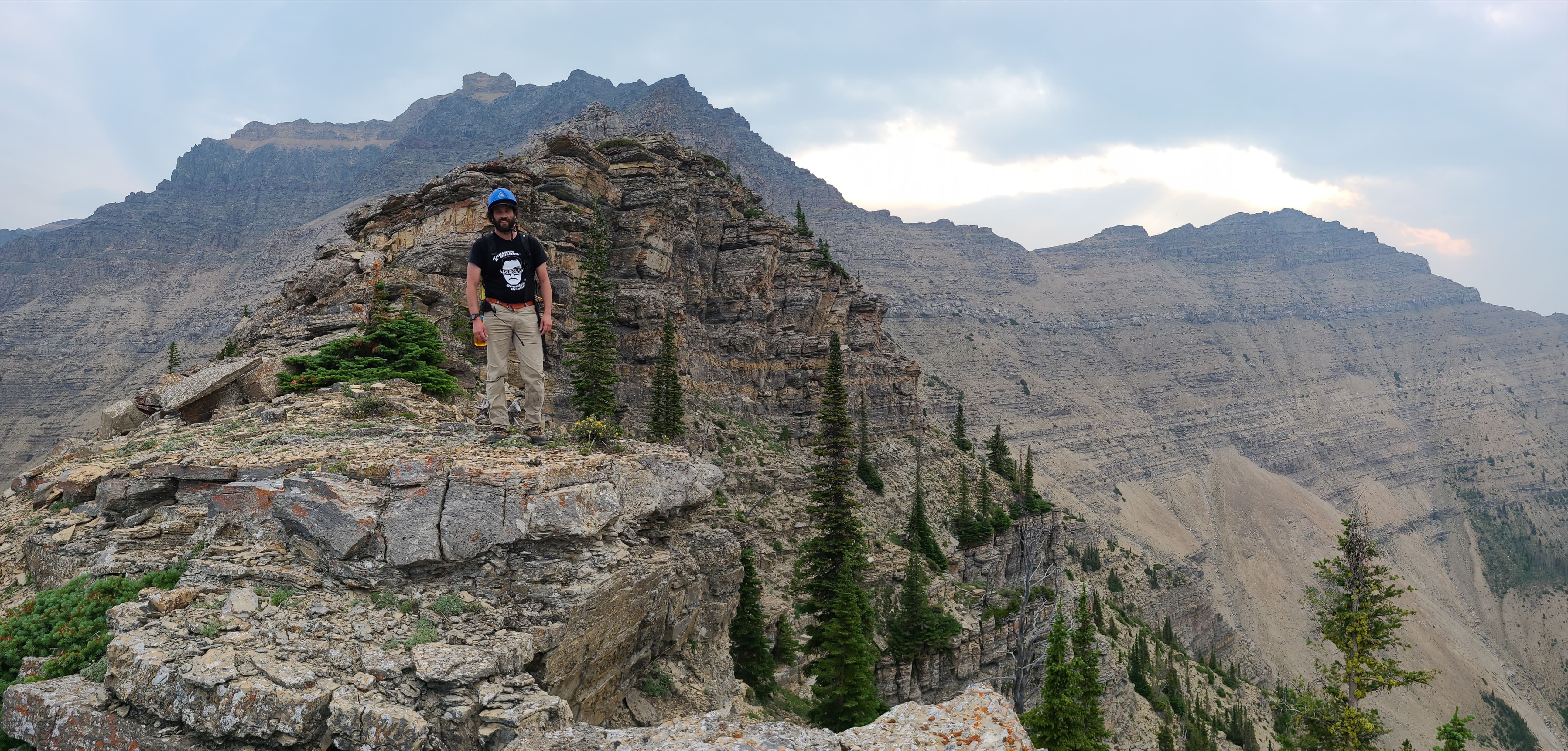
Our first look at Glendowan (right of centre) since the parking lot. The south ridge is skyline and directly in front of Brad.

After 30 minutes and ~2.4 km, we came to the drainage that will take us to Glendowan’s south ridge.

Heading up the drainage with the start of the south ridge visible in the centre.

We only stayed alongside the drainage for a short distance, before leaving it to trend climber’s left through the forest.

It was an easy hike up the ridge. As I keep noting, once the trees begin to rot and fall, many of these routes will become choked with deadfall and potentially difficult to access.

Brad checks out the fun that lays ahead. 😁

As Andrew notes in More Scrambles, “as long as you are going upwards and staying left of the creek, you should have no route finding problems.” (50)

It’s too bad that it was so smoky, as the views from Glendowan are quite good. Piinaquiium / Ahkoinimahstakoo (Mount Blakiston) is on the left with Anderson Peak in the centre.

Arriving at treeline. For reference, it took us 1 hour to reach this vantage from the trail. Total elevation gains from the trailhead to this point were ~520 m.

Heading up to the first rock step.

The view back and along the south ridge to the trail (right).

Time to pack away the poles, as we won’t need them again until descent,

Things start off with a simple warmup.

The first step is easy to negotiate with a clear path through the gap in the centre.

Hiking through the small gap. We were shocked at how many trails were on this mountain.

If you love rock windows, then come to Glendowan! This one frames Anderson Peak quite nicely.

Onwards to the next step! This ridge was similar in layout to Dungarvan’s.

Brad leads the way.

Things start to get more interesting. Again, all of this can be bypassed by sticking to climber’s left.

Brad tackles the next step head-on…

And then enjoys the views from the top.

And onto the next step.

Brad follows me up.

Yikes! This view through this window was downright scary! 😂😂

More sweet terrain.

After enduring extremely hot temperatures over the past month, we were thankful that today’s trip featured a cool wind and partly cloudy skies. The smoke however, we could live without.

For this next step, we ventured ever so slightly to climber’s left…

Before scrambling up. Again, this can all be avoided by sticking to climber’s left, but why? 😊

Our first clear view of the summit.

A telephoto of the summit shows the easy access gully that we would use on descent.

It’s hard not to admire Anderson Peak.

Arriving at the limestone band that guards the upper slopes of most of Waterton’s front range. Unlike “Dundy Peak” and Dungarvan, the band’s presence on Glendowan is much easier to negotiate.

Though more moderate routes lie to climber’s left. We enjoyed tackling it head-on.

The view back from the top of the limestone band. As I always say, I’d rather deal with a limestone rock band than a Finnish death metal band any day of the week! 😂

The ridge above the limestone band is where the scrambling gets interesting. As you can see, it is possible to avoid most of it by sticking to climber’s left.

Brad leads us onto the next section…

And into some great scrambling!

One of many cool rock formations on the upper slopes.

A better view of the previous photo. Needless to say, the drop off to climber’s right is extreme. 😳

Brad circles a cool pinnacle.

This next section is full of awesome argillite!

As we couldn’t hit this one head-on, we headed to climber’s left for a short distance…

Before finding a weakness back onto the ridge.

A prominent pinnacle marks the top of the step.

Looking up from the base of the pinnacle.

Instead of looking for a route to climber’s left, we went right and found some colourful lichen and argillite.

Looking back at the lower section of the south ridge.

Heading up and onto the ridge.

A good look at the connecting ridge to “Cloudowan Peak”.

This step starts – and ends – with a cool pinnacle. You might say, it was the ‘pinnacle’ of success. 😉

Arriving at the black igneous rock.

Brad scopes out the route to the summit. On descent, we would come down the gully in the centre.

Sticking as close as possible to the ridge crest.

I thought this formation looked a bit like a caricature. I’m not sure of what though…. 🤔

We were forced to climber’s left for a brief moment…

Before Brad discovered a way back onto the ridge. Always bet on Brad! 😁

Up, up…

And away! 😁 I however, would continue further to climber’s left, before making my way up to join Brad on the crest.

More fun along the ridge.

Bright lichen is given an added ‘pop’ from its placement on the dark rock.

The view along the ridge to the summit. There was still a ways to go.

Looking down the cool valley that sits between Glendowan and “Cloudowan Peak”.

More fun scrambling.

Glancing back as we make our way towards the summit.

Compared to the summit block, the rock here was really good.

Brad avoids an extremely narrow section…

Before making his way up.

Brad continues to lead us along the ridge.

A good look at the upper section of ridge. If you’re comfortable with your scrambling abilities, I’d highly recommend tackling it.

Our first good look at the summit block.

Brad follows a clear path that leads around the summit block.

The sudden contrast in colour between the black rock and the summit block is striking.

The easy gully starts on the far left; however, we would go up immediately to the left of the wall in front of Brad. I’d love to come back one day and see if there’s a route up from the right! 😁

Once again, Brad leads the way.

Enjoying some route finding – but not necessarily the loose rock.

Another look back along the ridge.

Tackling another section head-on.

The lower section was not hard to navigate…

However, the upper section required some careful scrambling.

Brad makes it past a tight squeeze.

And yet another look back along the ridge. We were happy that we’d been able to stick to the crest for almost the entire way. 😁

Getting closer to the summit.

Arriving above the easy gully (left).

A large cairn marks the summit.

Scrambling up a short section.

Almost there!

Brad climbs onto the summit of Mount Glendowan (2673 m) and completes our goal of sticking entirely to the crest of the south ridge. 😁

A hazy pano to the east…

And then to the south…

Followed by another, this time to the west…

And then to the northwest.

One more look to the east.

A closer look at “Cloudowan Peak” (foreground). Behind it are: “Cloudy Junior” (left); Cloudy Ridge (left of centre); Mount Dungarvan (centre); “Dundy Peak” (right of centre); and Mount Galwey (right).

A telephoto of “Cloudy Junior”.

The summits of Cloudy Ridge (left) and Dungarvan.

The distinctive summits of “Cloudowan” (foreground left) and Mount Galwey (right).

Heavy smoke obfuscates Mount Crandell…

And Piinaquiium / Ahkoinimahstakoo (Mount Blakiston).

Glendowan offers great views of Anderson Peak.

For me, this was the biggest disappointment of the day – the dulling of what otherwise, would’ve been an absolutely stunning combination of colour between Glendowan and “Newman Senior” (centre). Oh well, perhaps I will see the reverse view one day under more favourable conditions from “Newman Senior”. EDIT: Nope! It was crappy weather as well. 😂 Oh, and Spionkop Ridge is on the right.

A telephoto of Loaf Mountain.

Old friends along the front range of the Castle. 😁

A closer, but hazy look at the summit of Drywood Mountain.

“Bakery Peak” at thee northeast end of Loaf Mountain, is one of my favourite front range scrambles.

Sitting immediately across the valley to the north are Spread Eagle Mountain (left) and Mount Yarrow (right).

Finally, one last pano to the northwest. Despite the smoke, our trip was more than worthwhile. 😁

Brad celebrates our ascent with some absinthe. 🤪 Love you Brad! 😂😂
A 360 view from the summit.

Heading down a small gully immediately beneath the summit.

A more comprehensive view of the previous photo.

We didn’t stay in the miserable little gully for too long, before we left it to traverse back to the easy gully. In hindsight, we should’ve just retraced our steps back along the crest.

Making our way towards the gully.

Brad heads down the easy gully.

Note, that even though the gully is easy, there is a short down-climb to get off of it.

Looking back at the summit block.

We followed the distinctive path back and onto the black rock of the ridge, before descending an obvious gully.

Even though we were bypassing all of the scrambling along the ridge, we felt that descending the black rock was the trickiest part of the day.

Brad (upper right) carefully makes his way down.

Looking back to Brad (centre) after descending an easy bypass gully.

From here to the limestone band, it would be smooth sailing.

Bypassing all obstacles by sticking to skier’s right.

Down-climbing the limestone band was the final hurdle on descent.

Glancing back at the limestone band and then the summit.

Instead of dropping into the drainage below, we would return along the ridge.

Coming to treeline and with it, some easy hiking back to the trail.

Hey, that’s not fair! The sun finally decided to come out now that we were almost at the bottom.

It only took us an hour and a bit to reach the treeline from the summit.

Anderson Peak continues to impress!

Fuelled by absinthe, Brad frolics and jigs like a leprechaun. 😂

Arriving back in the drainage.

Along with a large number of rock windows, Glendowan is also a good place to find fossils – and no, I’m not talking about myself! 😂

More fossils.

Back on the trail and enjoying the easy ~2.4 km hike back to the trailhead.

Red Rock Canyon was a busy place today! 😁 In the distance is Cloudy Ridge.

Arriving back at the parking lot after travelling 14.5 km over 6 hours and 35 minutes. Despite the smoke, this was a fantastic trip not only because I had an awesome hiking partner in Brad, but also because of our decision to stick to the crest of south ridge. If you are confident in your scrambling skills, I’d highly recommend this route; however, if you aren’t, you can bypass most obstacles by keeping to climber’s left. I would caution though, that moderate and potentially difficult scrambling is still required even if you choose to bypass the black rock section of ridge. Thanks Brad, for yet another superb day in the mountains! 😁


Leave a Reply