
 Hiking and scrambling are inherently dangerous activities. Please read my Disclaimer.
Couched within Andy’s route description for “Jake Smith Peak” (JSP) in, More Scrambles in the Canadian Rockies, is a short but emphatic paragraph encouraging hikers to forgo their fatigue in favour of tackling the extra 100 vertical metres required to summit “Red Argillite Peak” (RA). Within it he states, “depending on the time of day, you may want to save this detour for the return trip when the sun is farther to the west. The colours and scenery on RA and the peaks seen from this summit are amazing and best viewed with the sun in that location” (166)
As it was later in the day when we began our descent from JSP’s outliers, I was excited to see for myself what Andy had described. Since he was with me – and was also excited to once again see RA under the late afternoon sun – I knew our decision to save this diminutive crimson delight until the end, was a good one.
Descending from JSP’s outliers was quick and easy. Despite having to avoid a steep snow slope by losing direct elevation, the traverse over to the col between JSP and RA was quick and easy. In fact, it only took 26 minutes which was a far cry from the seemingly endless slog to reach JSP’s summit.
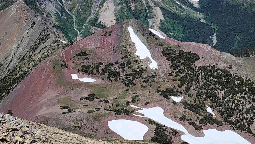
As we approached the col, it was easy to why Andy raved about the red argillite on RA. It was indeed a rich crimson and when adorned with colourful flora, the contrast popped. From the col it was a quick ~590 m hike (100 m elevation gain) that took less than 20 minutes – well for me at least, as Andy lingered behind snapping photo after photo of the rock and the scenery.
With our trip to RA living up to the hype, we then made the quick ~1.2 km (393 m elevation loss) descent to the shores of South Rainy Lake. As Joey Ambrosi notes in, Hiking the Southern Rockies, both South Rainy Lake and North Rainy Lake are devoid of fish – which is too bad because they would be neat little destinations to flog with a fly. As North Rainy Lake is located ~ 1 km further from the north end of the South Lake, we did not make the trip as we were more concerned about negotiating our way through the alders and overgrowth in the section where the trail completely disappears.
In fact, we made good time from the lake to the point where the trail crossed the small torrent of a creek before disappearing into nothing on the other side. Determined to find and follow the trail for the good of all humanity, we reasoned that the actual trail probably stayed closer to the tree line and away from the open overgrown meadows – and we were mostly correct.
As I noted in my JSP report, the secret to playing “Find The Trail” involves searching for old and weathered saw marks. Once you find these, you know that you’re probably on the actual trail. That didn’t mean we had to stop and backtrack in more than a couple places, but in the end, we emerged onto the small clearing where we had crossed the rickety bridge earlier in the day – only this time, we discovered that the trail didn’t use the bridge at all. Instead, it entered the clearing from the woods to what would have been hiker’s right if we were ascending the trail.
Once past the meadow, we were back on the easy to follow trail. It may have been overgrown in spots, or have deadfall that forced a detour – or even 5 or 6 creek crossings, but it all seemed like a picnic compared to the section that we had just come through. Eventually, we arrived back at our bikes at the junction with the West Castle Valley trail. We then enjoyed the mostly downhill ~9.8 km cruise back to the trailhead and our trucks.
This was a long day but getting the chance to explore what I would speculate are seldom visited locales was worth it. Outside of the disappearing trail, the entire ascent of JSP and RA involved straightforward hiking with scrambling only required for visiting JSP’s northeast outliers. Once again, thanks to Andy for all the great conversations and laughs. It was a fabulous trip – oh, and happy belated Canada Day to everyone! As a proud Canadian and a proud Albertan whose family has lived in the province for 120 years, Canada Day this year felt extra important. I wonder why…🤔 😂
Be sure to read Andy’s awesome trip report! [link coming]

To get to South Rainy Lake, “Jake Smith Peak” (JSP), and “Red Argillite Peak” (RA), we drove to Castle Mountain Ski Resort and parked at the far south end of the lot. The West Castle Valley trailhead is located a couple hundred metres to the east where it starts at a pedestrian bridge over the West Castle River.
After biking for ~2.3 km, we came to a fork where the West Castle Valley trail continues to hiker’s left. From here, we biked for another ~7.5 km to the Rainy Lakes trailhead (~9.8 km in total from the West Castle Trailhead with a 204 m elevation gain). As I was on a human-powered bike, it took us 1.5 hours to reach the Rainy Lakes trailhead.
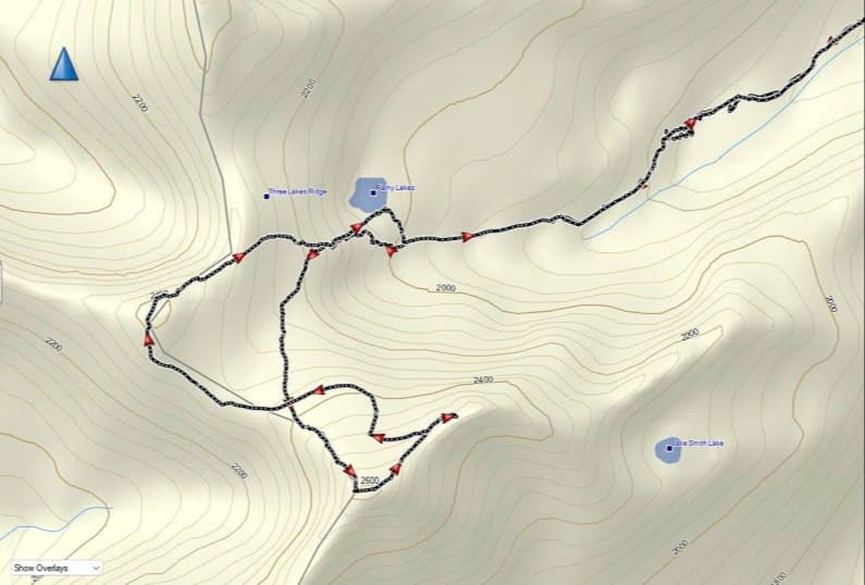
Leaving our bikes at the junction, we began hiking the Rainy Lakes trail which was quite overgrown in sections and which involved 5 or 6 small creek crossings. At approximately the ~2.1 km mark, the trail emerged onto small meadow where it completely disappeared. We made the mistake of thinking that it began on the other side of a makeshift bridge, but it really continued to hiker’s right of the bridge and inside the trees. The next ~450 m involved playing ‘Find the Trail’ as until we located it on the other side of a steep, fast moving creek.
The remaining ~1.8 km to the bowl beneath JSP was uneventful as the trail was easier to define. A short but steep hike from the entrance to the bowl brought us onto the small ridge above South Rainy Lake. For reference, it took us 2 hours to make the ~4.3 km (509 m elevation gain) hike to the small ridge from the Rainy Lakes trailhead.
From the ridge, we hiked a short distance before traversing towards the steep north slopes of JSP. The ~1.6 km (544 m elevation gain) slog up to the summit seemed to take forever, but the increasing views made up for it. For reference, from the West Castle trailhead to the summit of JSP, it was ~15.7 km (1257 m elevation gain) trip that took us 5 hours and 30 minutes.
After enjoying the summit views, we made the short ~500m hike from JSP’s summit to its outliers. We then descended the north slopes of JSP to the col with RA (~1 km). A quick and easy hike of ~590 m (100 m elevation gain) brought us onto the summit of RA.
From the summit, we descended ~1.2 km (392 m elevation loss) directly to the shores of South Rainy Lake. After a quick rest, we descended back to the Rainy Lakes trail and returned the way we came – except we were able to trace the actual trail through the overgrown middle section. Once back our bikes it was an easy 1 hour ride back to the West Castle trailhead and our vehicles.
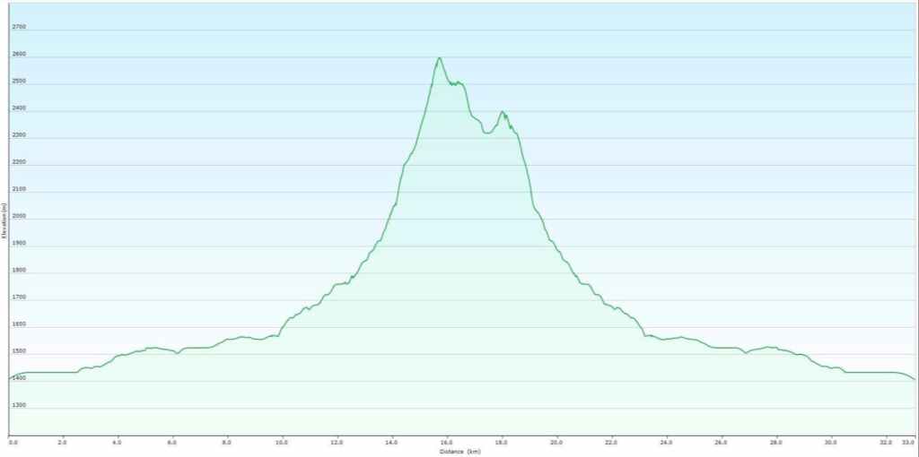 Our total roundtrip distance was 33 km with total elevation gains of 1421 m. Our total roundtrip time was 11 hours and 11 minutes.
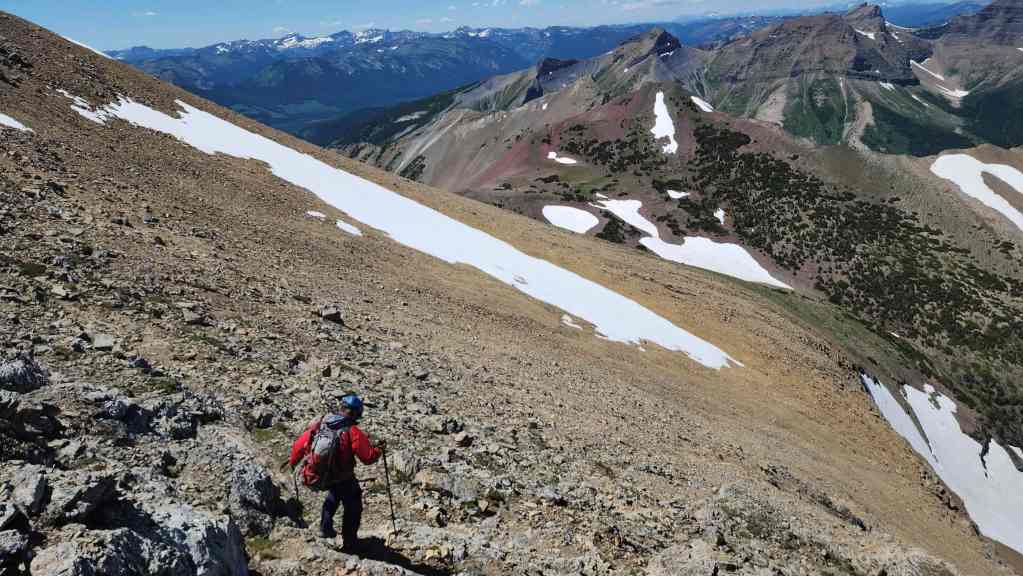
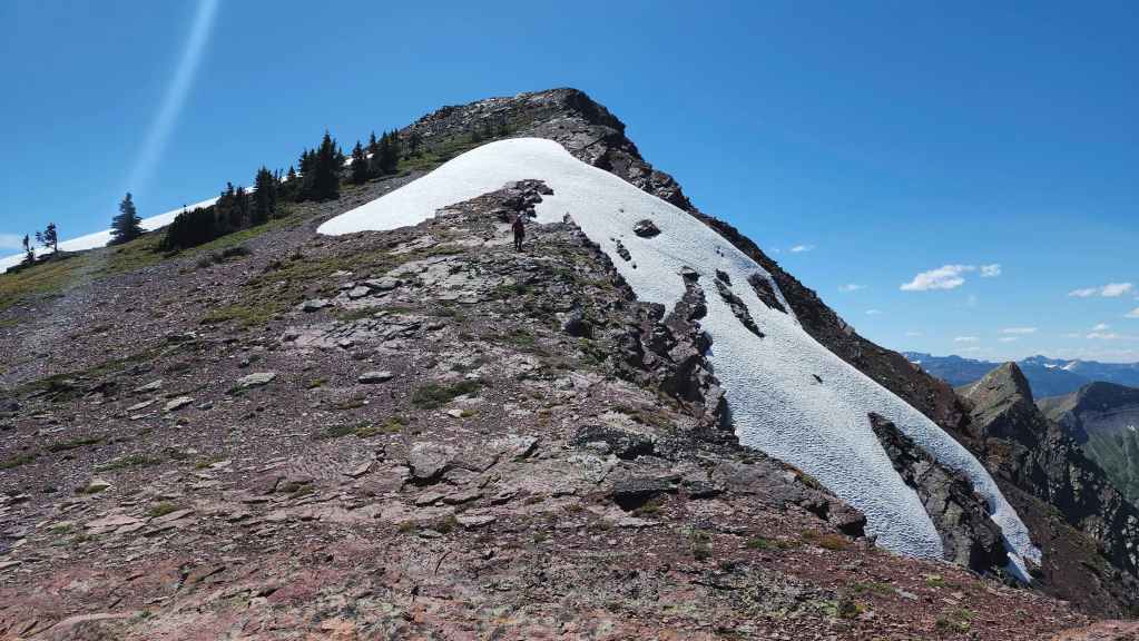
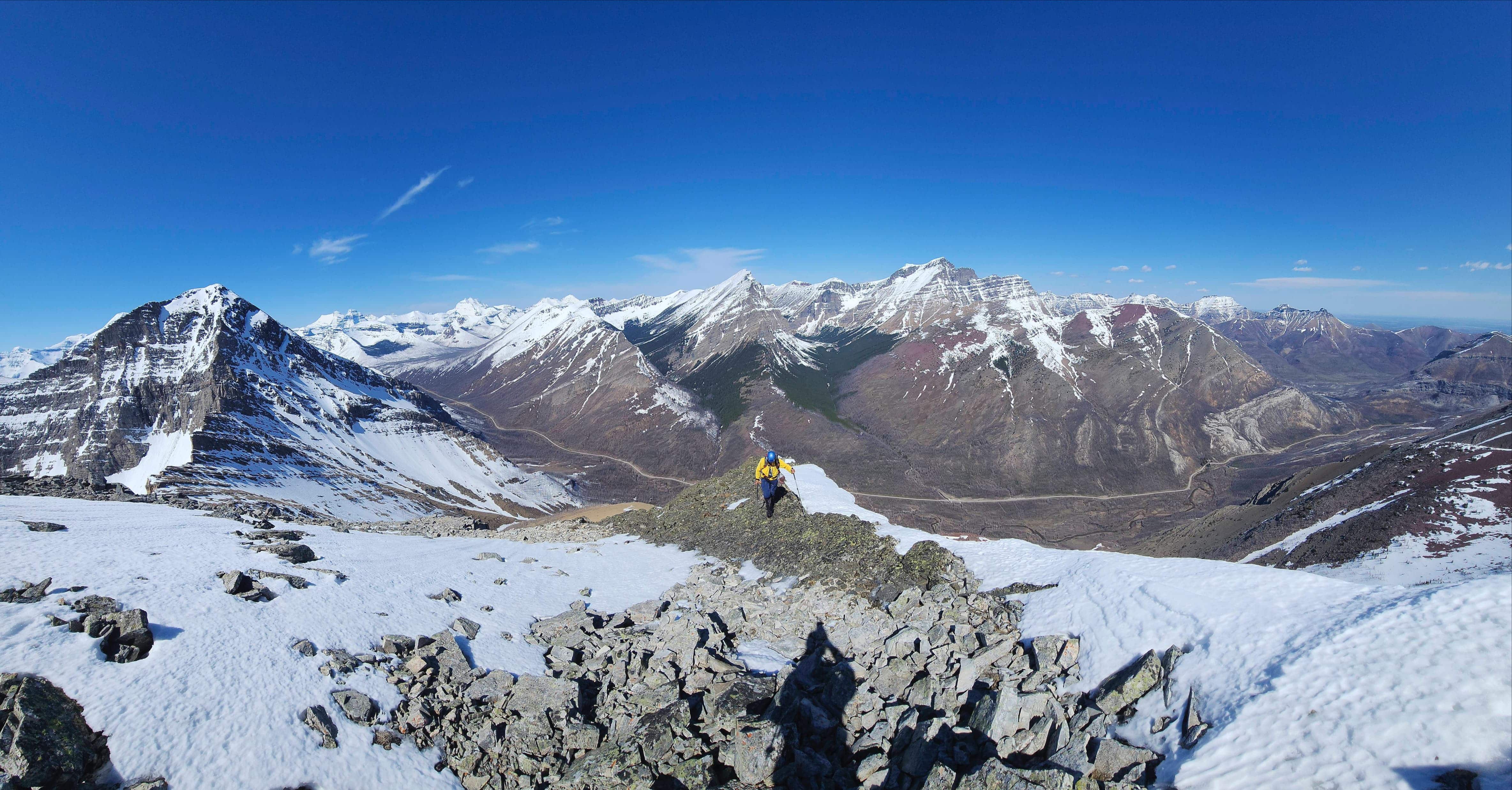
Leaving JSP’s northeast outliers for RA (right of centre).
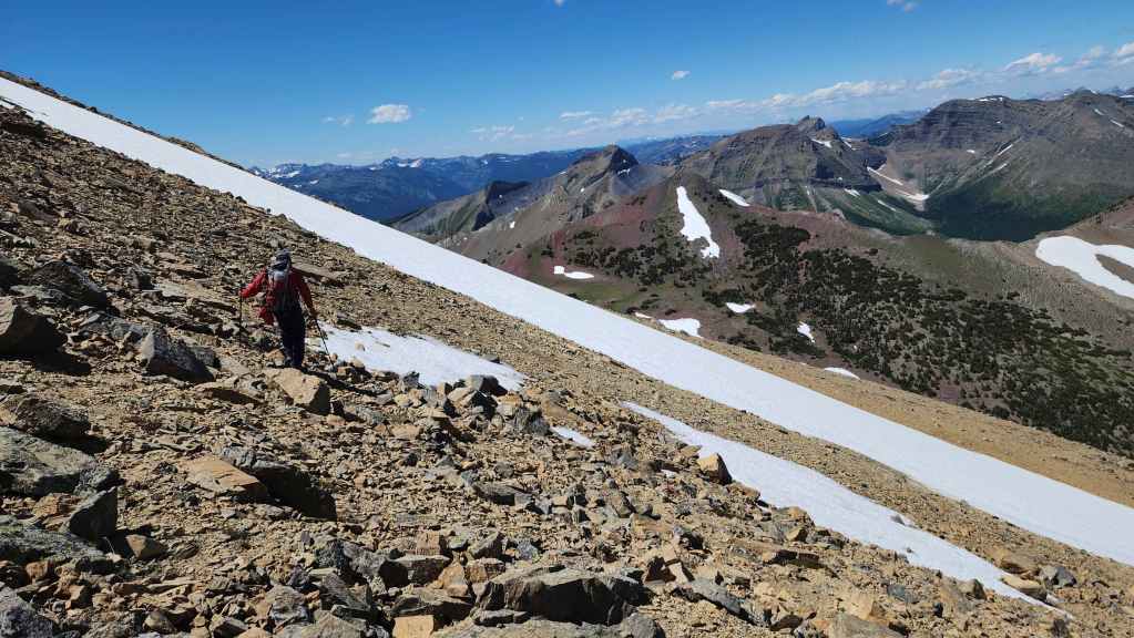
We brought axes but no crampons, so crossing this snow patch was a no-go.

Instead, we descended alongside of it to where we could easily traverse beneath it. (Photo by Andrew Nugara)
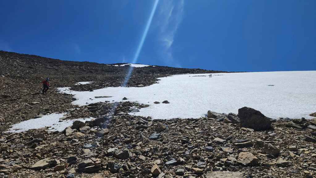
Andy follows me down.
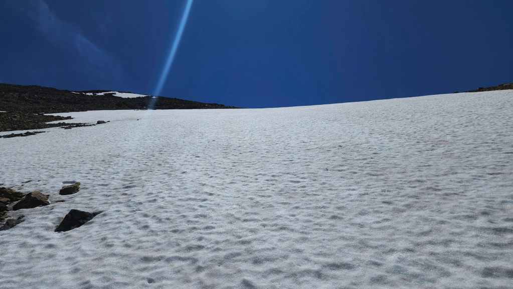
Looking up from the bottom. Even with crampons, this would have been a sketchy endeavour. A potential, “Glissade To The Afterlife” if you will. 😂
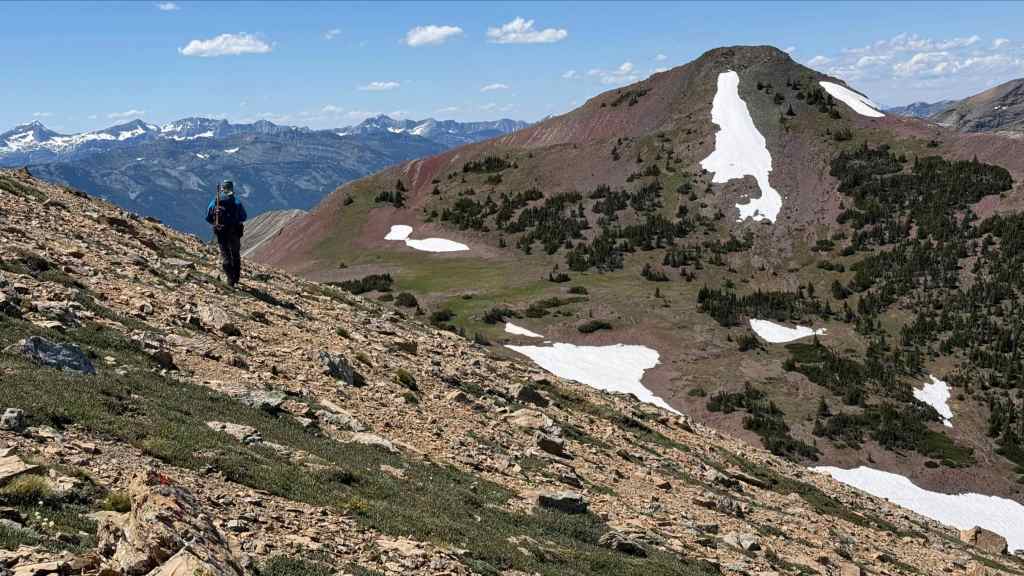
No worries though. Where we crossed made for an easy traverse to JSP’s col with RA. (Photo by Andrew Nugara)
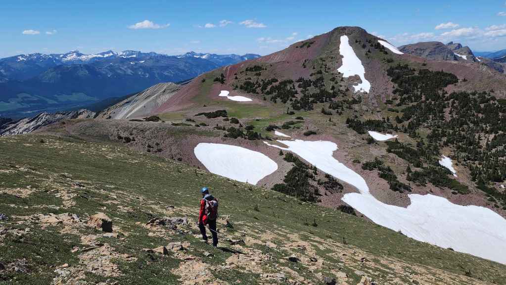
It was a gorgeous day. The wind was annoying at times, but without it, we would have roasted while making the slog up JSP.
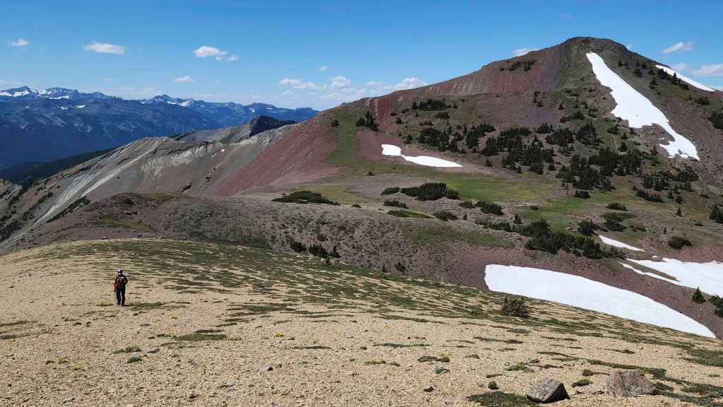
Arriving at the col with RA and its colours are already starting to impress.

The view back to JSP. (Photo by Andrew Nugara)
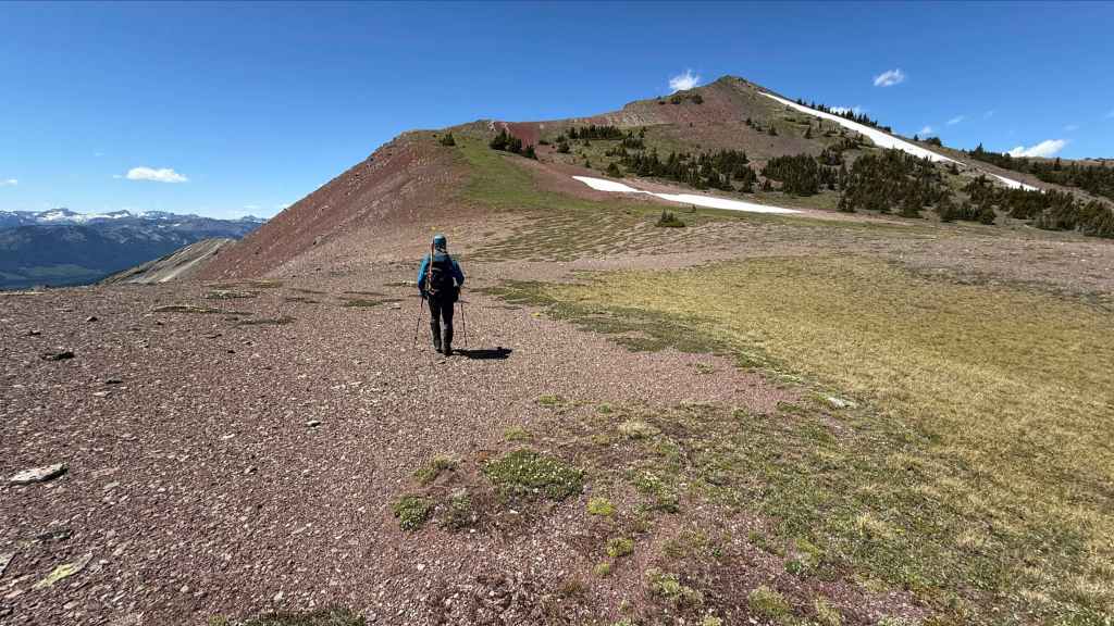
From the col, it was an easy ~590 m (100 m elevation gain) hike to the summit. (Photo by Andrew Nugara)
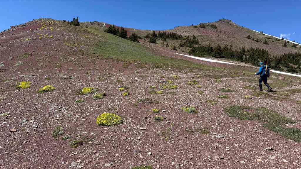
Enjoying the gentle slope. (Photo by Andrew Nugara)
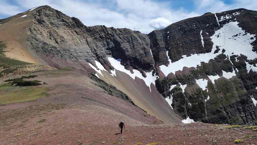
Looking back at JSP (left) and Scarpe Mountain (right).
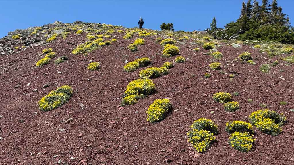
While I made a beeline for the summit, Andy lingered behind to take photos – and I’m thankful that he did! 🙂 (Photo by Andrew Nugara)
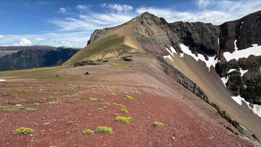
Another view back to JSP. (Photo by Andrew Nugara)

Gorgeous crimson argillite. (Photo by Andrew Nugara)
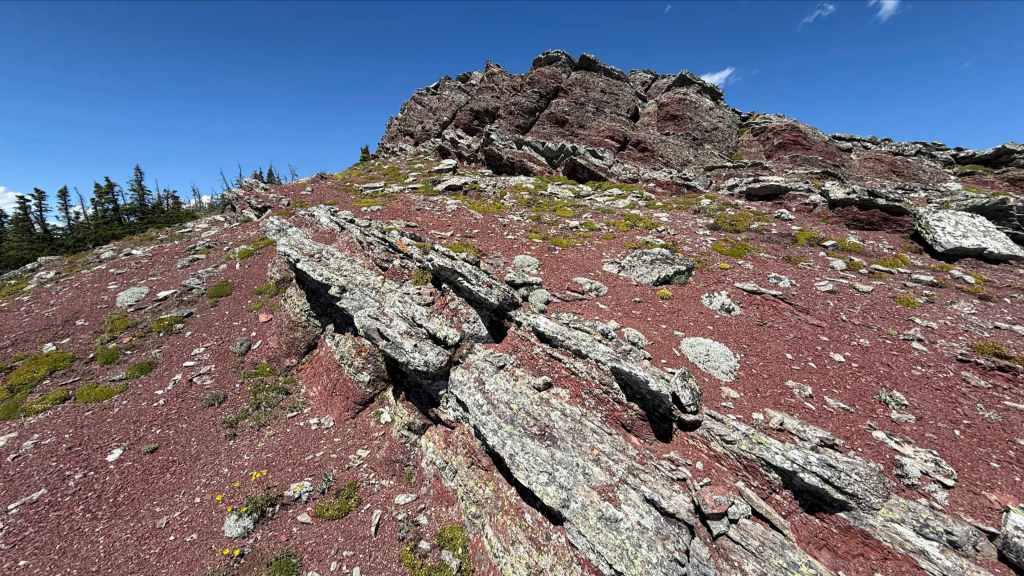
More of the same. (Photo by Andrew Nugara)

Still more fabulous colour. (Photo by Andrew Nugara)

Another look at JSP (left) and Scarpe Mountain (centre). (Photo by Andrew Nugara)
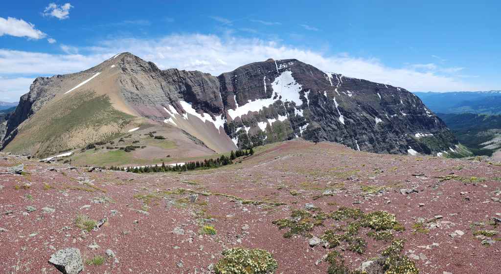
And again, this time with 30% more red argillite. 😂 (Photo by Andrew Nugara)

An even wider pano of the previous photo. (Photo by Andrew Nugara)

The summit of RA (2400 m).
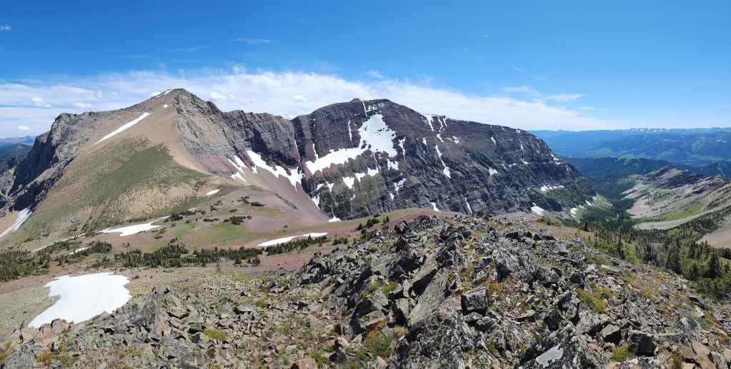
A pano to the south…

And then one to the west.
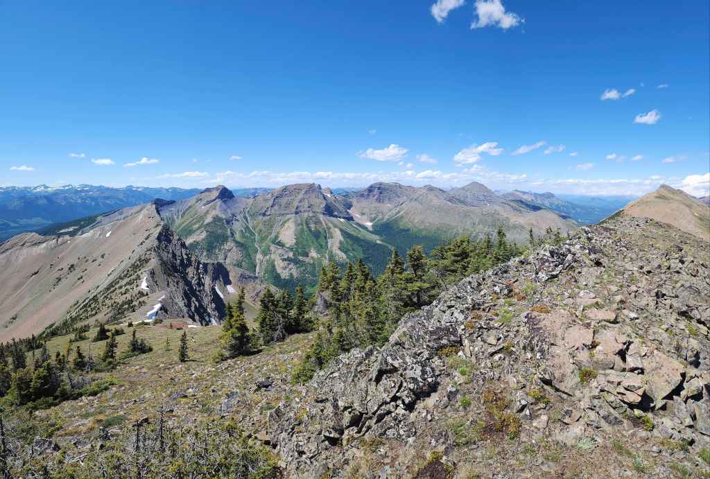
Looking slightly more to the northwest…
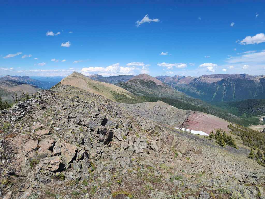
And now directly to the north.
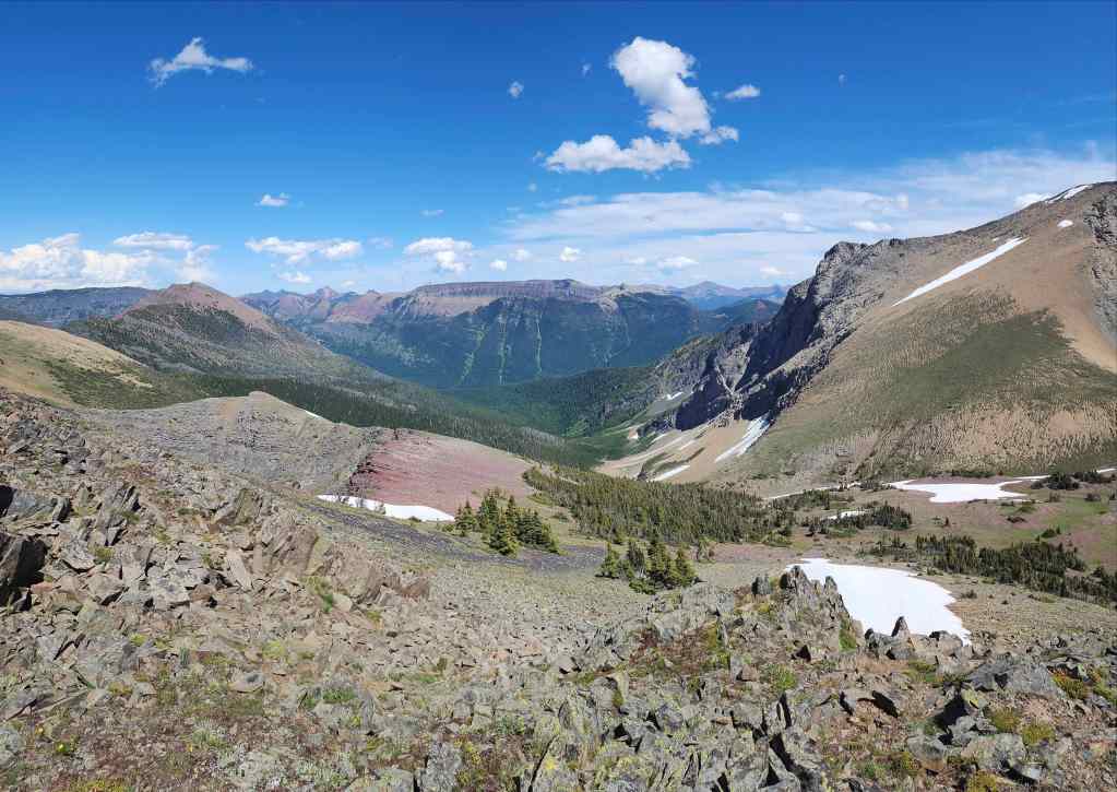
Finally, the view to the east.

Looking over at JSP.
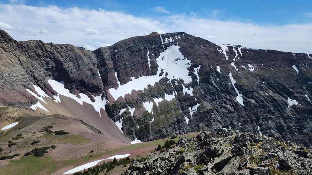
I will definitely have to come back for Scarpe Mountain.
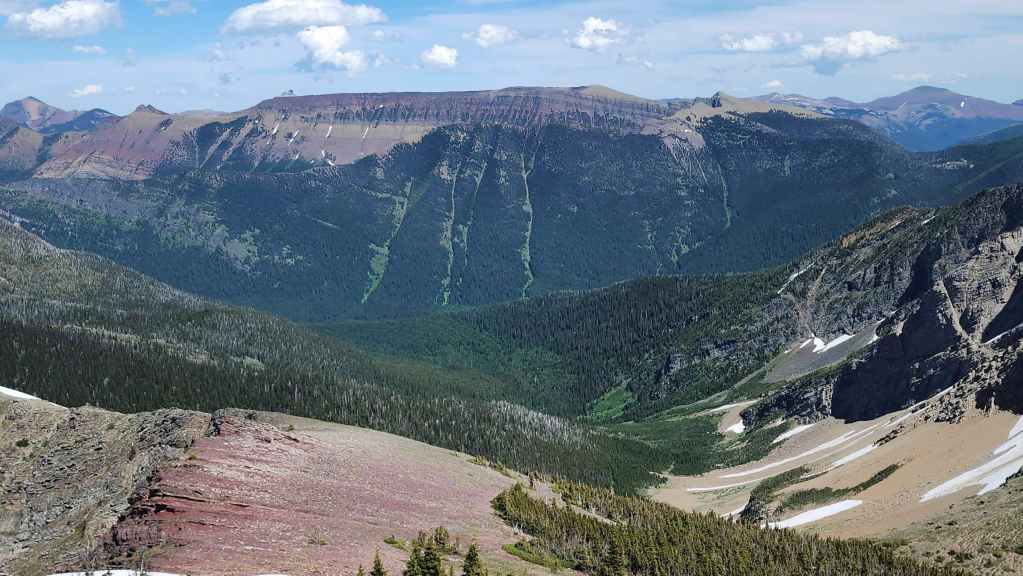
Lys Ridge was another long day!
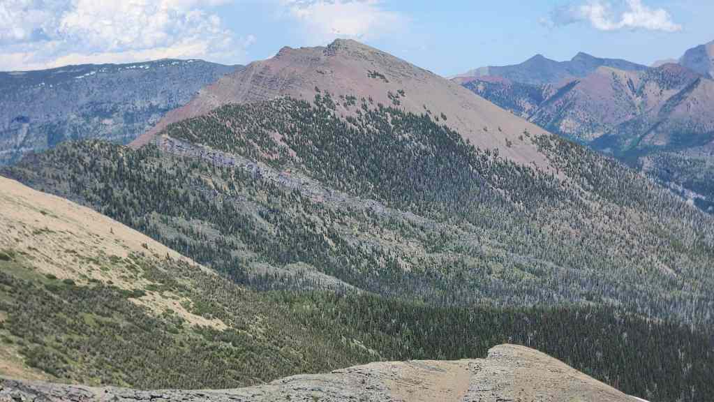
Glancing towards Rainy Ridge.
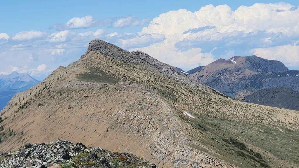
Three Lakes Ridge sits immediately to the north.
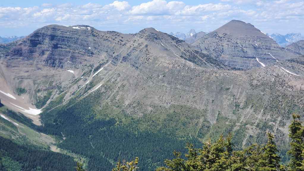
Another one I have to get to: “Middle Kootenay Mountain”. On the right is Mount Haig.
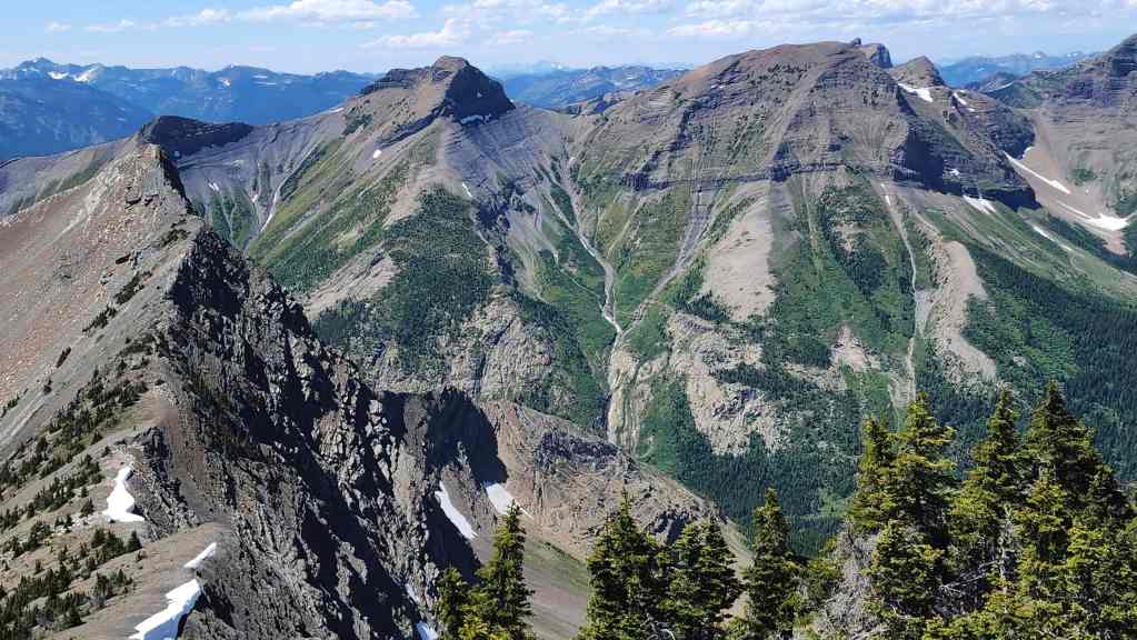
“Mount Miles” (right) and Krowicki Peak” (left of centre) are also on my list.
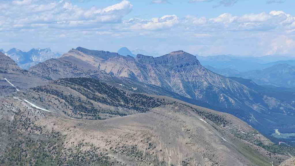
Zooming in on Syncline Mountain.
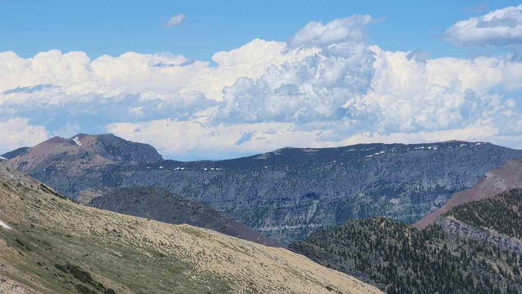
The long southern section of Barnaby Ridge.
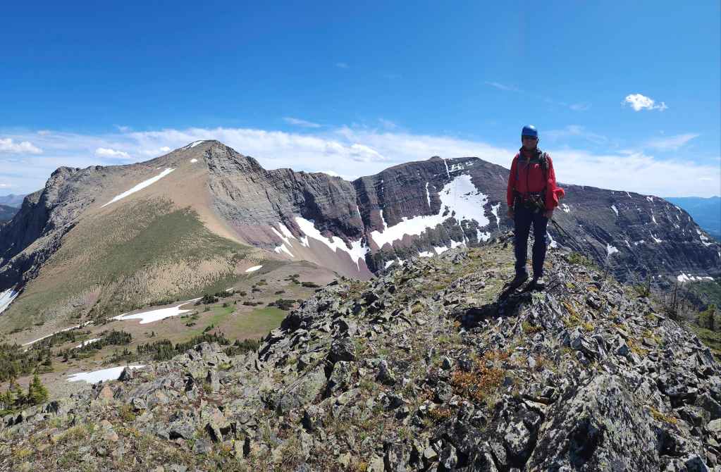
The argillite whisperer. 😂
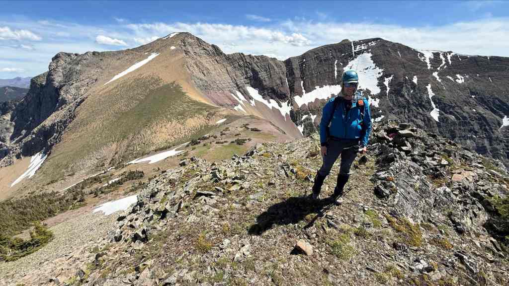
RA was all it was cracked up to be. (Photo by Andrew Nugara)
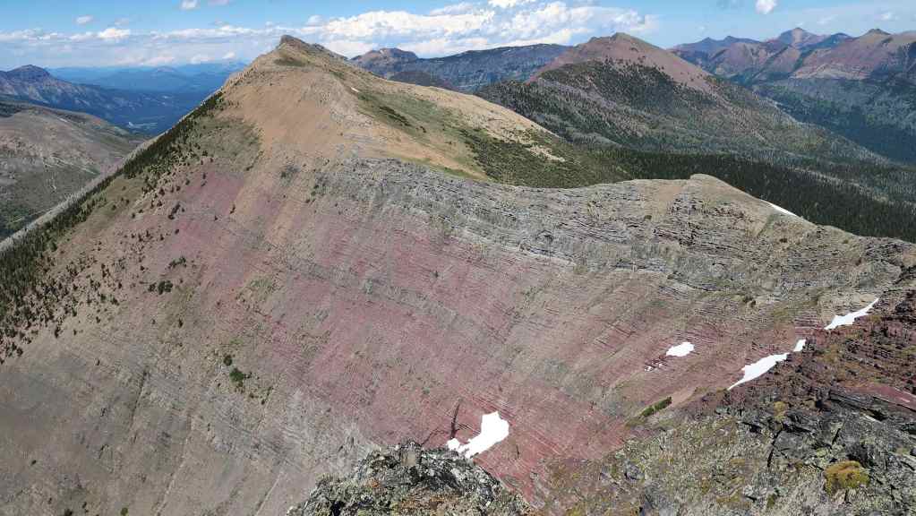
The impressive west side of the connecting ridge to Three Lakes Ridge.
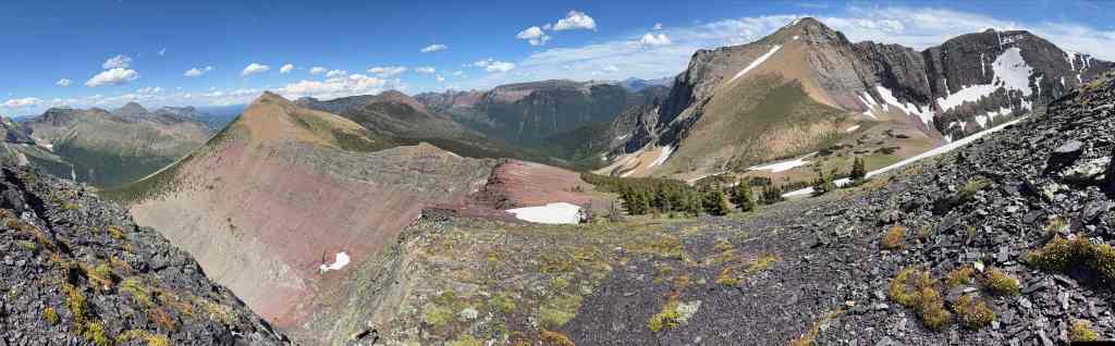
More gorgeous panos from Andy. (Photo by Andrew Nugara)
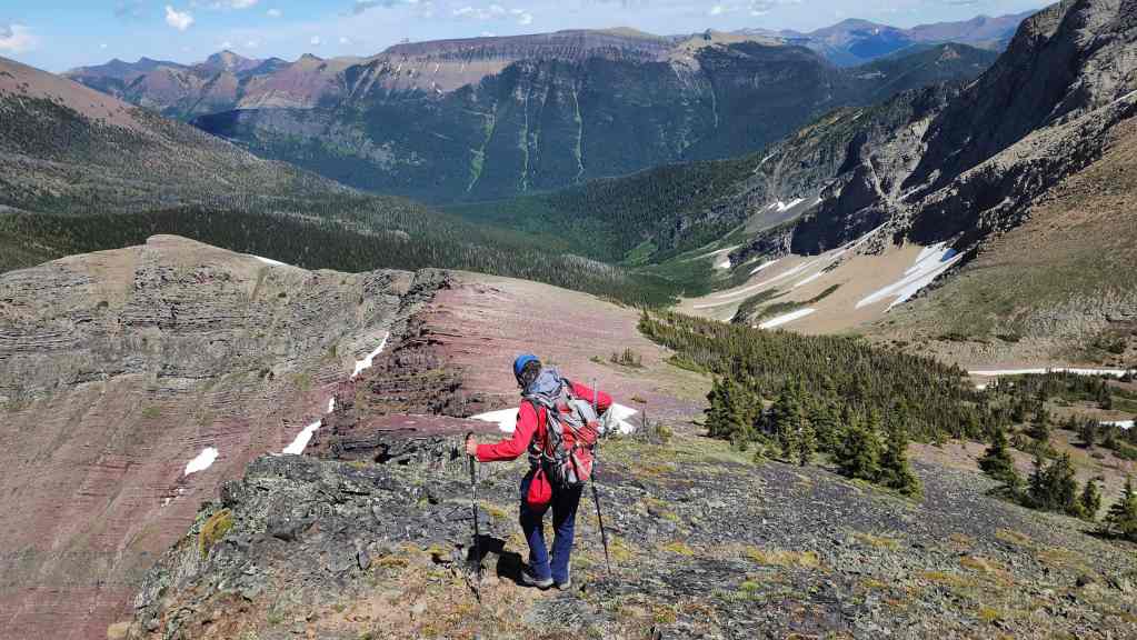
Starting our descent to South Rainy Lake.
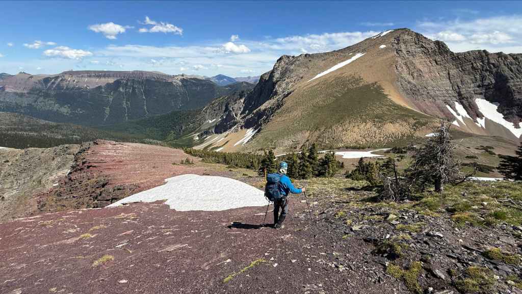
While I head down, Andy stays back to snap more photos… (Photo by Andrew Nugara)

Same as the previous photo but with 70% less Dave. 😂 (Photo by Andrew Nugara)
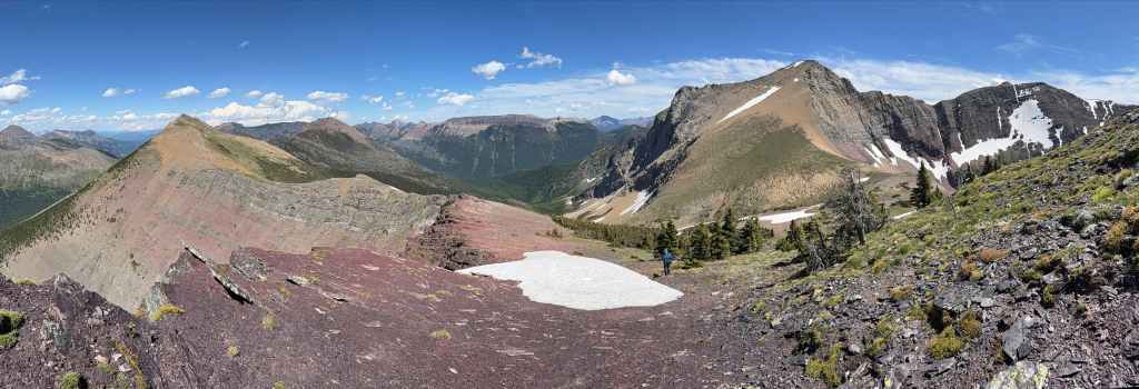
An even better pano than the previous! (Photo by Andrew Nugara)
My view back to the summit.
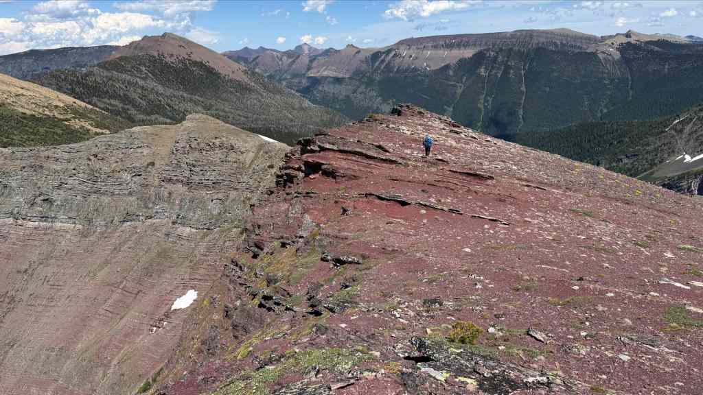
The red argillite continues. (Photo by Andrew Nugara)
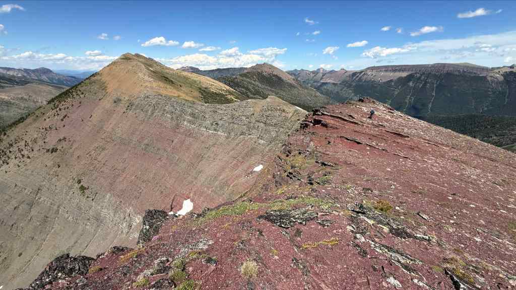
More of the same. (Photo by Andrew Nugara)
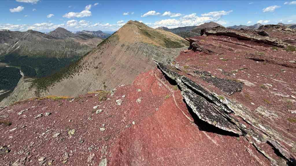
The rock in this section is pretty cool. (Photo by Andrew Nugara)

Like this for example. (Photo by Andrew Nugara)
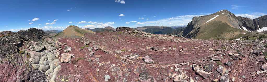
And this! (Photo by Andrew Nugara)
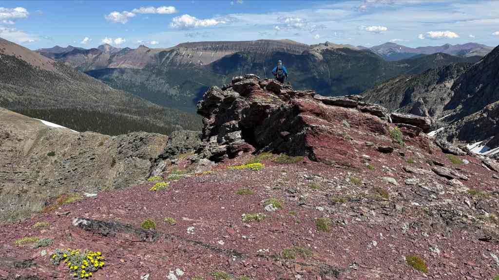
Nearing the point where we’ll leave the ridge. (Photo by Andrew Nugara)

Looking forward to an easy descent to South Rainy Lake. (Photo by Andrew Nugara)
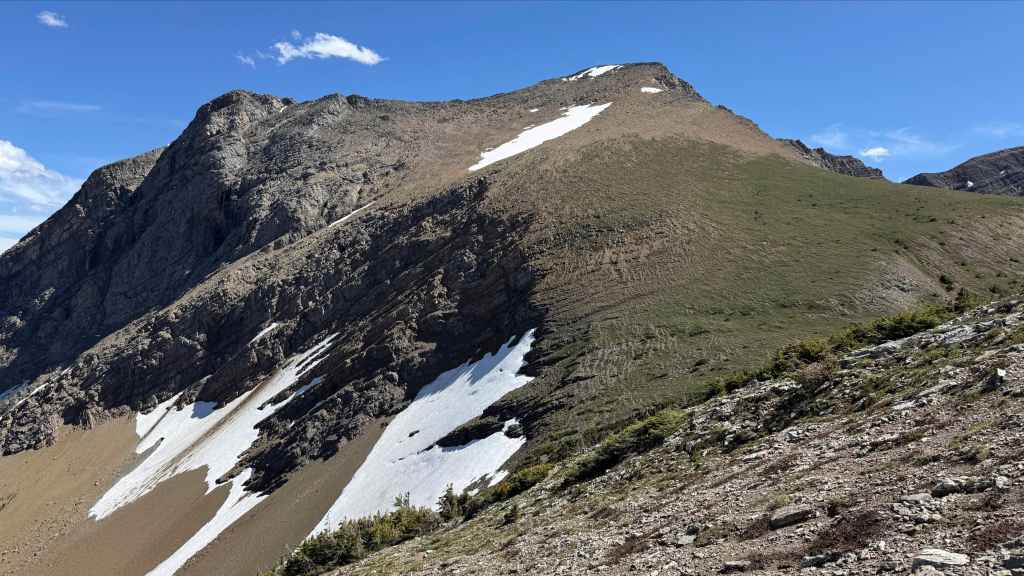
Glancing over at our ascent route on JSP. Did I mention it was a steep slog? 😂
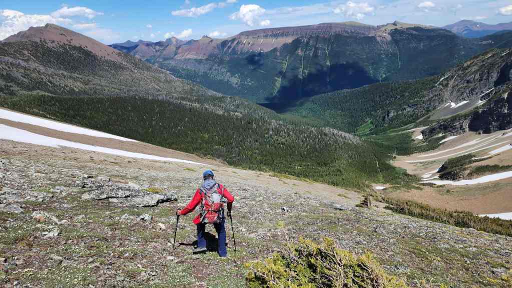
On the right, you can see the cutline used by the upper section of the Rainy Lakes trail.
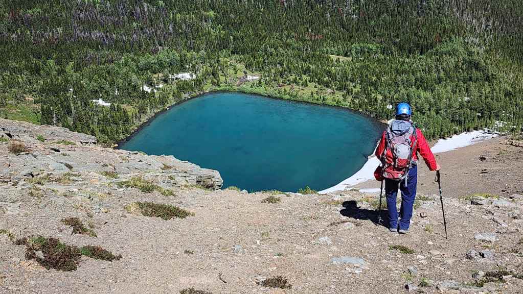
Gazing down at South Rainy Lake.
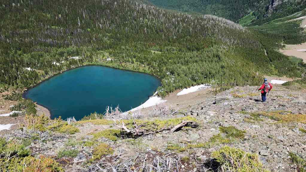
South Rainy Lake will be our final stop for the day.
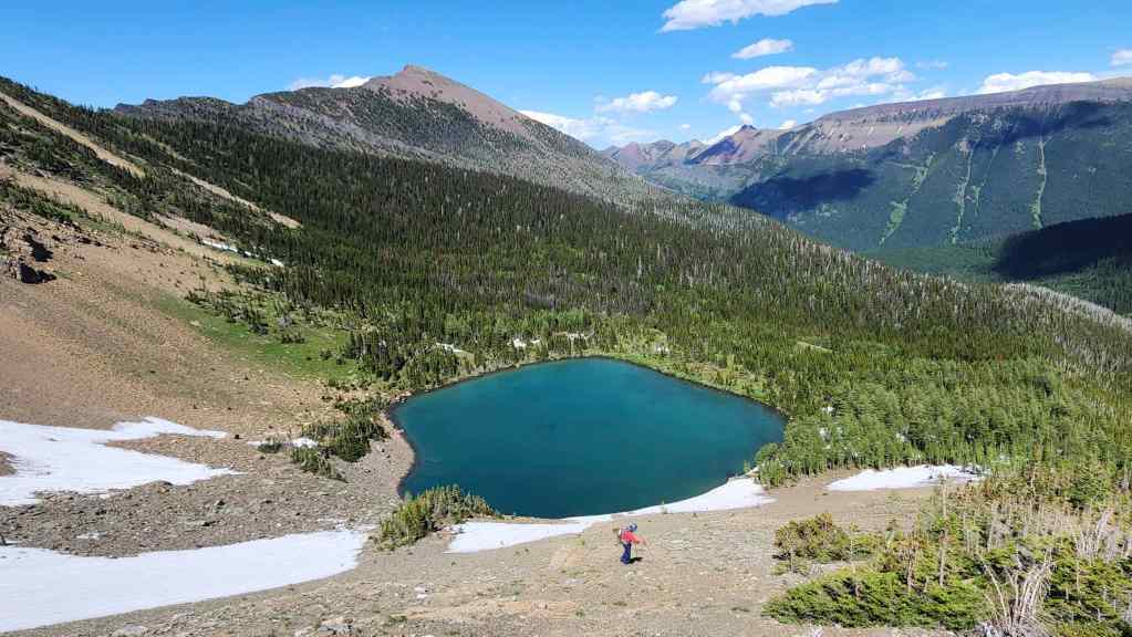
Getting close…
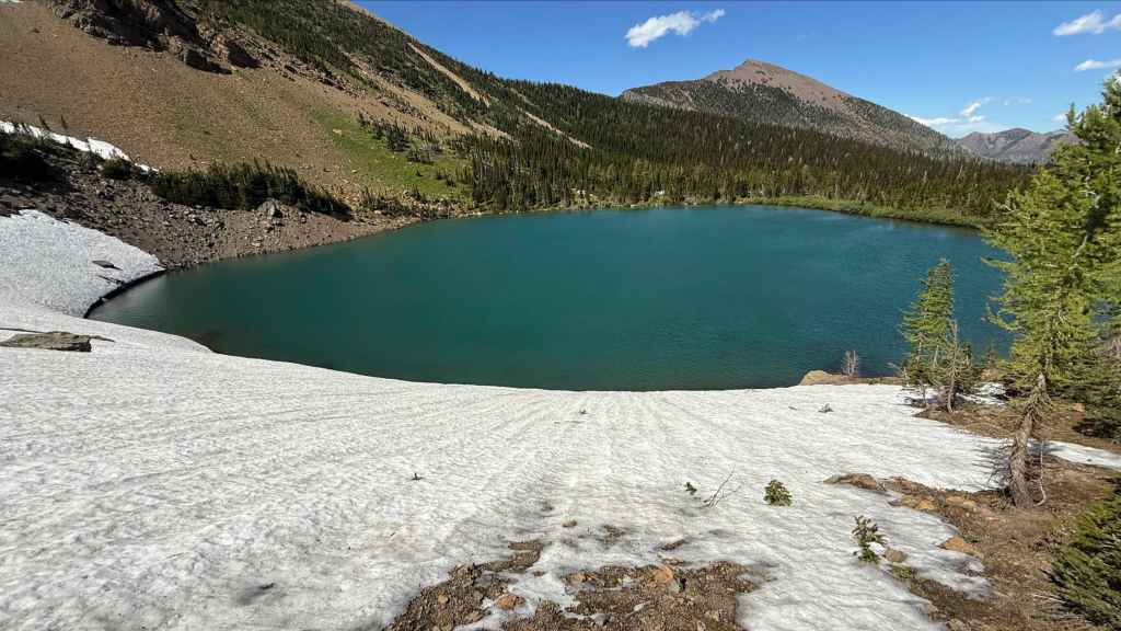
Glissading here would definitely make a splash. 😂 (Photo by Andrew Nugara)
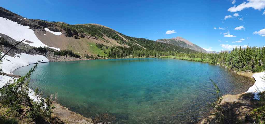
Arriving on the shores of the pretty tarn.
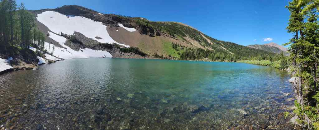
I found an old hearth, so the occasional wanderer does make their way to South Rainy.

After a quick stop to recharge, we hiked down the small ridge that separated the lake from the trail. (Photo by Andrew Nugara)

Starting the ~4.3 km hike back to the West Castle Valley Trail.
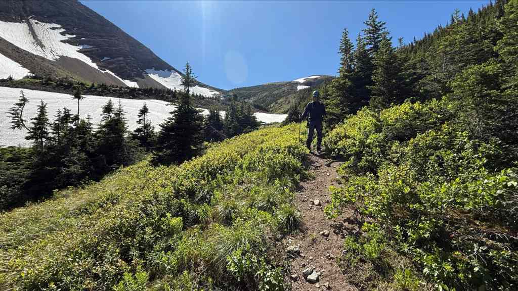
One last look at the col beneath JSP. (Photo by Andrew Nugara)

The upper section of the trail is easy to follow – as is the lower section….
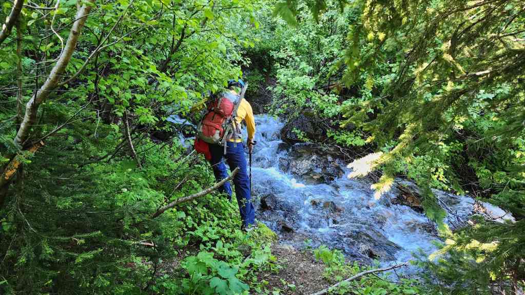
It’s the middle section where things get interesting. Andy crosses the creek where the trail is clearly visible on the west side (where we are in this photo) but on the east side it completely disappears.
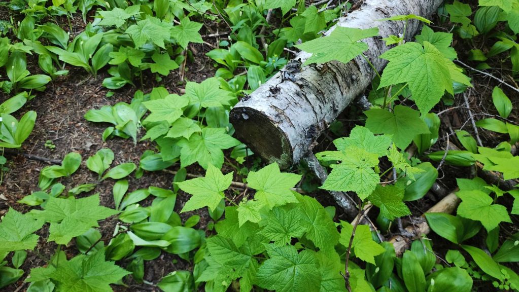
As I mentioned before, one of the secrets to winning, “Find The Trail” is looking for old weathered saw marks.
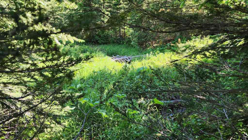
The rickety old bridge that led us astray earlier in the day as viewed from the actual trail.We weren’t too far off on our way up, but we would have saved ourselves a lot of time and bushwhacking had we looked to hiker’s right of the bridge instead of crossing it.
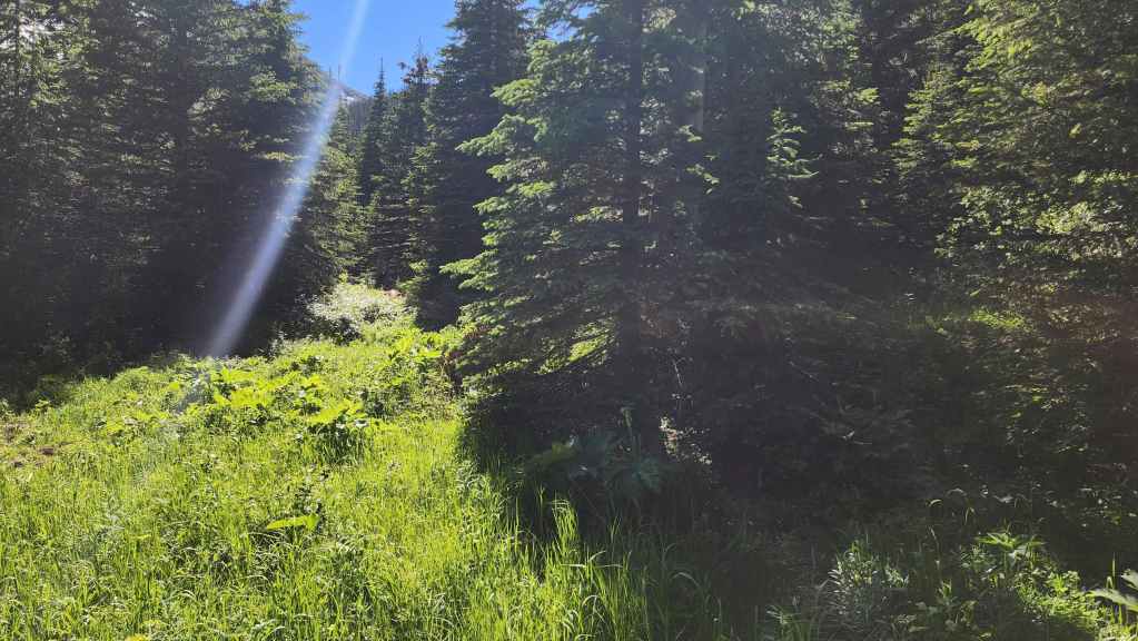
To be fair to our earlier and more naive selves, the bridge is on the left and the trail is partially hidden in the trees on the right. Crossing the bridge seemed like a no-brainer – and it was! 😂
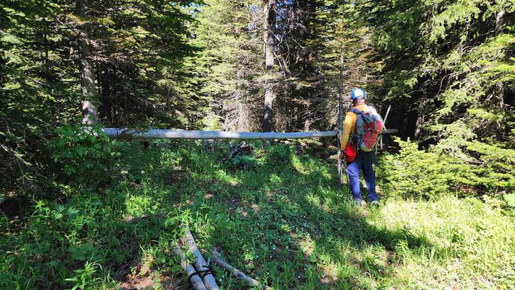
Andy inspects a hitching post located in the small clearing with the makeshift bridge.
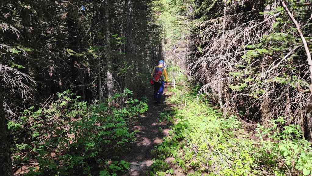
Clearly back on the trail…

And making one of many small creek crossings.
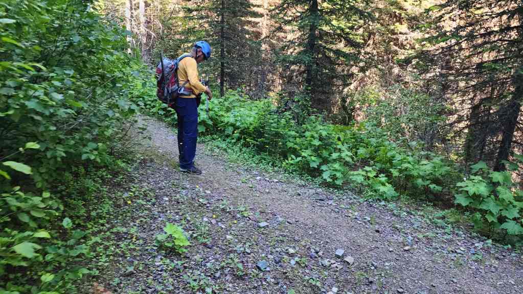
Arriving onto the West Castle Valley trail.
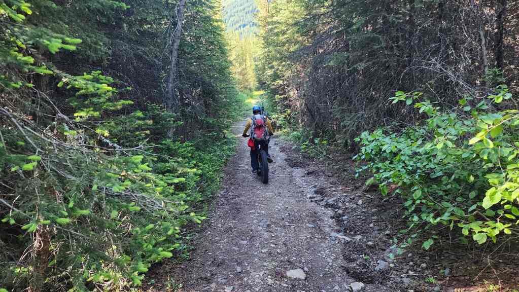
Back on our bikes for the final ~9.8 km.
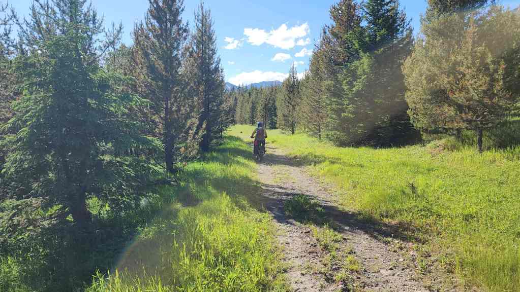
While we could see thunderclouds forming off to the east, it remained a perfect weather day in this part of the Castle.

I guess I’m old enough now that I could probably justify getting an e-bike for these long approaches. One day. One day… (Photo by Andrew Nugara)
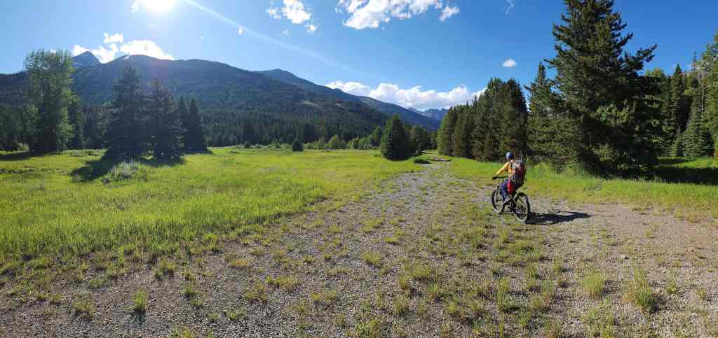
Back at the fork with the main trail and ~2.3 km from Castle Ski Resort.
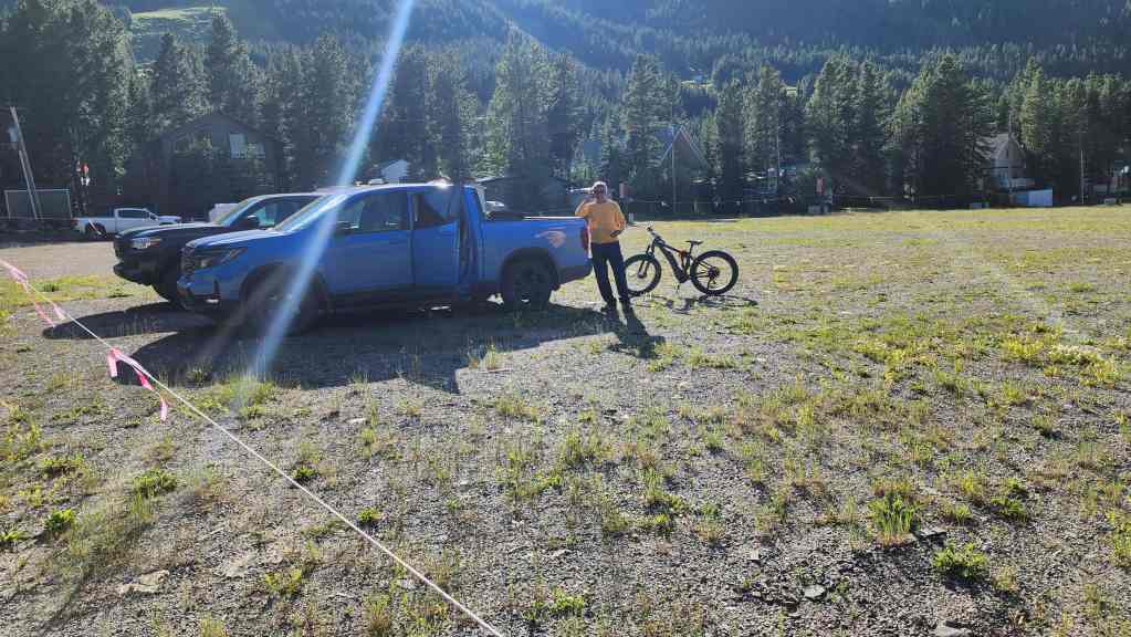
Arriving back at our trucks 11 hours and 11 minutes and 33 km after starting. This was a great trip to three really interesting destinations. Outside of the disappearing trail, there was nothing difficult to overcome during the day. It was just a good old fashioned bike n’ hike in an amazing part of Canada. Thanks again to Andy for awesome company and to Brad and Lance for the inspiration to reach JSP from the east.


Leave a Reply