

⚠️ Hiking and scrambling are inherently dangerous activities. Please read my Disclaimer. ⚠️
There isn’t a quick or easy way to get to Sage Mountain (2368 m). Located above the headwaters of the South Castle River, this seldom-visited peak is far enough off the beaten track that it requires some level of determination – or lunacy – to actually visit. Over the years, parties have used different routes to reach the summit and from what I gather, none of these were exactly quick.
For example, the late Rick Collier – who placed the current register in 2011 – approached Sage from Bovin Lake as part of a multi-day trip. This trip involved first tagging Jutland Mountain before summiting Sage on the final day – and then making the ~4.5 km (750 m elevation gain) hike back to Bovin Lake. Yikes! 😳
Others, such as Cornelius Rott, Vern Dewit and Brandon Boulier, combined it with two-day loop of Jutland Mountain, Mount Matkin, and Font Mountain, where Sage was the end point before descending to the South Castle River trail. Still others, such as Jonathan Alston, travelled down the South Castle River trail and ascended Sage from the east, again as an overnight trip.
Out of all these routes, the one used by Cornelius, Vern, and Brandon that followed the connecting ridge from the Great Divide Trail (GDT) seemed to be the ‘easiest’ – but even then, the elevation loss and gain along the ridge is no picnic, and if your plan is to return to the GDT, this would make for an extremely long diversion.
Indeed, if the goal is to tackle Sage as a day trip, the options are extremely limited. Last year, as part of our Font Mountain and Mount Matkin overnighter, Brad and I discussed adding Sage Mountain as part of the itinerary. However, after looking at what it would take to get to the summit and then back to the GDT, we quickly decided that it was best left for another day. That sparked a long conversation about alternate possibilities for reaching Sage.
As we stood looking down at the South Castle headwater lakes from the GDT, we devised a plan that would involve using the Castle River Divide trail in Waterton to reach the valley beneath us. From there, we would traverse the upper reaches of the bowl beneath “Sage Senior” over to the south slopes of Sage Mountain. This would bypass the intervening high point on the connecting ridge and hopefully involve minimal elevation loss and gain. A bonus would be the chance to visit the two little lakes that constitute the headwaters of the South Castle River.
Fast forward to today and after failing last weekend on our second attempt at Darrah S4, Andy and I were excited at Brad’s suggestion that we finally try our proposed route for Sage. As none of us had visited the summit of Sage nor had any of us been to the South Castle headwater lakes, it was extra motivation to explore a new and remote part of the Castle.
Using bikes to travel the Snowshoe trail from Red Rock Canyon was critical to making our route work, as it allowed us to quickly cover ~8.5 km (287 m elevation gain) of the total distance. From the Snowshoe hut, we then followed the Castle River Divide trail for ~3.1 km (244 m elevation gain) to the apex of the Divide and the fork to Avion Ridge. That it took a little less than 2 hours from our vehicles to the Divide meant we were off to a great start. From the Divide, we followed the crest west and towards the massive east face of “Sage Senior”.
Not finding a trail to the headwater lakes – though we found the remnants of one on our way back – we made our way down (~1.2 km with an elevation loss of 195 m) from what looked to be a good location. This involved surprisingly little bushwhacking over highly favourable terrain. Standing on the shore of the smallest lake, we then discussed sticking to the original plan of traversing above the tree line or continuing past the lakes to the base of the col between Sage Mountain and the high point on the connecting ridge.
Deciding on the former, we began our traverse around the bowl. Outside of a miserable section just prior to reaching the col between the GDT and the high point, the overall traverse was quite pleasant and offered scenic views of the lakes and valley. Bypassing the high point was even easier and we eventually found ourselves in the col at the base of Sage.
This is where things became less enjoyable. The foreshortened slope up to the false summit was long and tedious, and it was demoralizing to finally drag our butts onto the false summit only to see that the true summit was still ~ 1 km away. 🤪 Despite this, the summit ridge made for an interesting hike and we soon found ourselves on the summit 6 hours and 20 minutes after leaving Red Rock Canyon.
Despite the forest fire haze, the summit views were surprisingly good and with them, came the realization of how remote Sage actually is. This probably explains why we were only the eighth party to stand on the summit since 2011. As I mentioned before, you really have to go out of your way to visit Sage.
After recouping our energy with a lengthy summit stay, we made our way back to the col with the high point. From here, we decided to drop directly into the valley in the hope of finding an old logging road that Andy had identified on the map. We would then use this road to make our way back to the lakes.
The descent involved mild to moderate bushwhacking once we reached the trees, but all in all, it was not too bad and it wasn’t long before we found ourselves standing on the old road. Though the road led towards the lakes, it ended several hundred metres before them, but again, the bushwhacking to reach the lakes was not bad at all. Indeed, our trip from the summit to the lakes only took two hours.
Of course, one of the main reasons for planning this route was to spend time at the lakes, and so we spent 30 minutes relaxing on the shore of the largest lake while Brad enjoyed a swim. The thought of having to regain the elevation back to the Castle River Divide loomed over us, but after being reinvigorated by our stay at the lake, it only took 40 minutes to cover the ~1.2 km (195 m elevation gain) to reach the crest of the Divide. Once here we were home free as everything was downhill on a good trail followed by the quick ride back to Red Rock Canyon.
I doubt I will ever want to visit Sage again, but it was satisfying to know that our proposed route actually worked and with minimal hardship – outside of the long slog to Sage’s false summit. In hindsight, as Brad noted, it may have been better to use our descent route off Sage for ascent, as it would most likely would have been quicker than traversing the upper reaches of the bowl. So, if you are thinking of following in our footsteps, this might be the way to go.
Moreover, following our trip, Andy calculated that our overall route saved us from an additional 800 m of elevation gain had we approached and returned from “Sage Senior” along the connecting ridge. That in and of itself made this route well worth it! Of course, it could also work to do a loop where you ascend to “Sage Senior”, follow the ridge to Sage Mountain and then return via Castle River Divide. 🤔 Anyway, just food for thought…
As always, I have to give a huge thank you to both Andy and Brad for making this into such an enjoyable trip. Hiking with good friends who share the same philosophy and purpose for being in the mountains is a gift. Of course, the humour is pretty much non-stop and one never knows what mischief Brad might be up to… 😂
Be sure to read Andy’s spectacular report! [link coming]
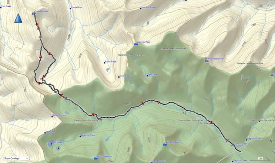
To get to our starting point, we drove to the Red Rock Canyon parking lot where we accessed the Snowshoe trail. From the trailhead we biked for ~8.5 km (1 hour; 287 m elevation gain) until we reached the end of Snowshoe and the start of the Castle Divide Trail trailhead. From the trailhead, we hiked for ~3.1 km (244 m elevation gain) until we came to the apex of the Divide and the fork to Avion Ridge. For reference, from the trailhead this took us 1 hour and 56 minutes.
Shortly beyond the fork, we came to the end of the trail and a cutline leading to the west. We followed the cutline for 250 m until we reached the fourth park boundary sign that includes the one at the end of the trail. However, as we discovered on the way back, a rudimentary trail begins immediately to the north of the second boundary sign west of where the Divide trail ends.
From the fourth boundary sign we navigated our way down an initial steep slope that soon morphed into a gradual descent full of open meadows and minimal bushwhacking. This continued almost entirely to the lakes with only the last ~100 metres becoming steep again. For reference, from the Divide it was ~1.2 km with a 195 m elevation loss to the lakes.

Deciding to stick with our original plan to traverse above the tree line, we ascended a short distance up from the lakes and began our traverse to the col between the col between the high point and Sage Mountain’s south slopes. Overall, the first part of the traverse was good; however, it became trickier as the vegetation-covered slope steepened just prior to reaching the col between the high point and the GDT. On reaching the end of the cliffs at the col, we made a short scramble higher and into the col to avoid a steep canyon. This scramble not only let us cross the creek easily, it put us directly at elevation with the easy to traverse, treed ledge on the south face of the high point.
As the treed ledge neared the east end of the high point, it gave way to open slopes scarred by forest fire. Keeping at roughly the same elevation as the treed ledge, our traverse brought us just above the col with Sage Mountain. For reference, from the lakes to the col, it took us 1 hour and 40 minutes to cover the ~1.9 km distance (266 m elevation gain).
From the col, it was a deceptively long ~1.2 km (320 m elevation gain) hike to reach Sage’s false summit. Once on the false summit, it was another ~1 km (54 m elevation loss and 113 m gain) to reach the summit. For reference, from Red Rock Canyon to the summit of Sage Mountain it took us 6 hours and 20 minutes to cover the ~16.7 km (1215 m elevation gain).
To descend, we retraced our steps towards the col, before deviating directly to the south. Here, we descended directly to an old logging road in the valley at the base of the col. For reference, from the summit to the logging road it was a distance of ~2.7 km (642 m elevation loss).
Once on the road we followed it for ~570 m before it ended and we had to bushwhack our way another ~670 m to the outlet stream and the largest lake. For reference, from the summit to the lakes it took us 2 hours to cover the ~4 km (663 m elevation loss).
After a lengthy stay at the lakes, we ascended for ~1.2 km (195 m elevation gain), back to the Castle River Divide – sometimes on the actual trail, though most of the time it was non-existent. Once back on the Divide, it was an easy ~3.1 km hike back to the Snowshoe hut and our bikes. We then enjoyed a quick ride back to Red Rock Canyon.
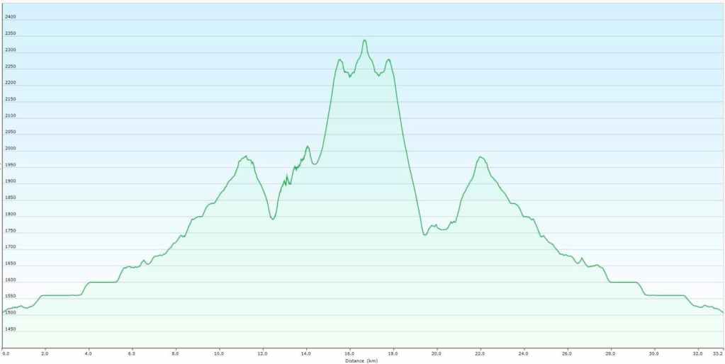
Our total distance travelled was ~33 km with a total elevation gain of 1565 m. Our total round trip time was 11 hours and 40 minutes. Of course this includes our ~30 minute summit stay and our ~30 minute stay at the lakes. It also includes the 20 minutes it took to change the flat tire on Brad’s bike.
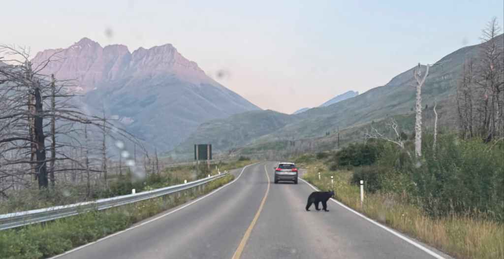
Our early morning drive along the Red Rock Parkway. This is where you want to see bears when you’re hiking! 😂 (Photo by Andrew Nugara)
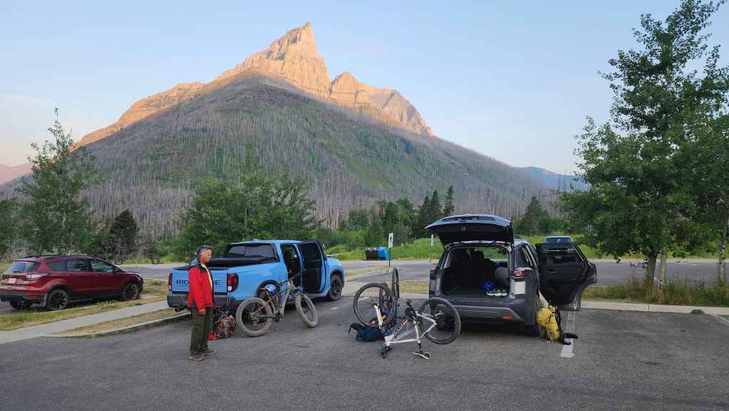
Gearing up at the Red Rock Canyon parking lot.

Starting off at the Snowshoe trailhead. Bikes are the secret weapon for this route…

Of course, since we don’t have precious e-bikes, Brad and I will end up pushing our ‘plebcycles’ for much of the way. 😂 In the background is Piinaquiium / Ahkoinimahstakoo (Mount Blakiston). (Photo by Andrew Nugara)

Early morning sunlight on the east face of Anderson Peak. (Photo by Andrew Nugara)
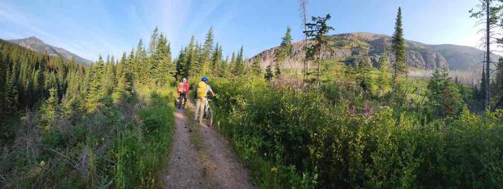
Brad and Andy check out Avion Ridge (right) as we take a breather along the trail. Mount Bauerman is on the far left.

Arriving at the Snowshoe hut one hour after starting.
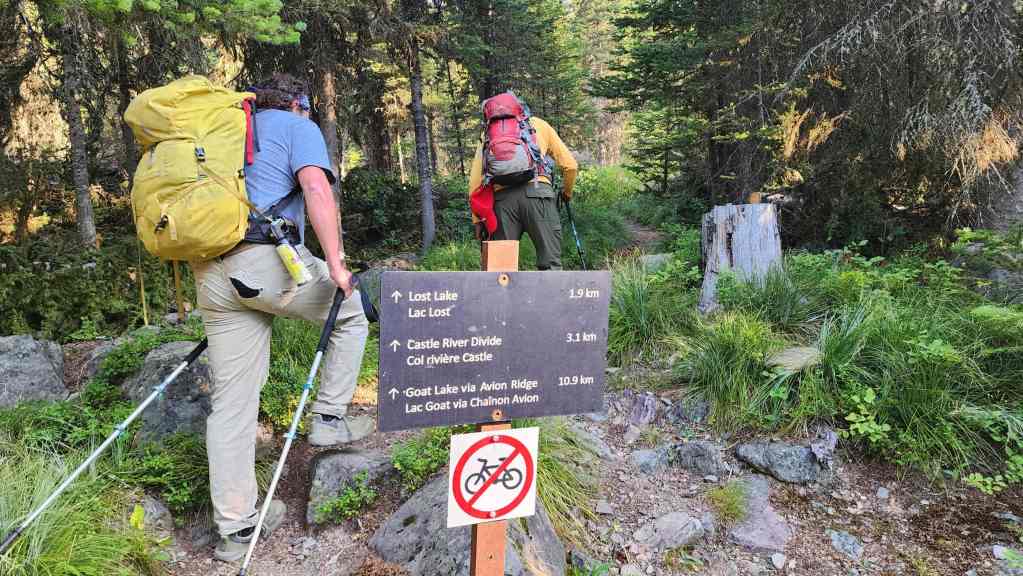
After stashing our bikes, we start up the Castle River Divide trail.

Making good time as we enjoy the easy hike.
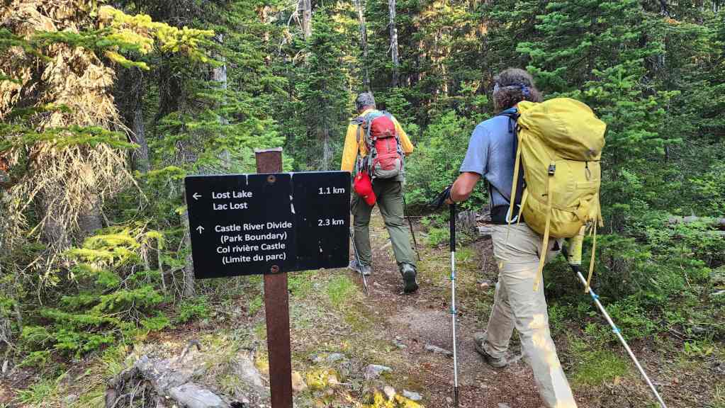
Passing the junction to Lost Lake.
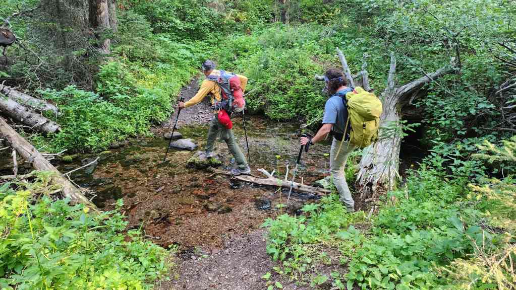
Crossing a small stream.

We had the trail all to ourselves.
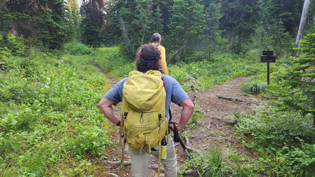
Arriving at the Castle River Divide and the junction to Avion Ridge.
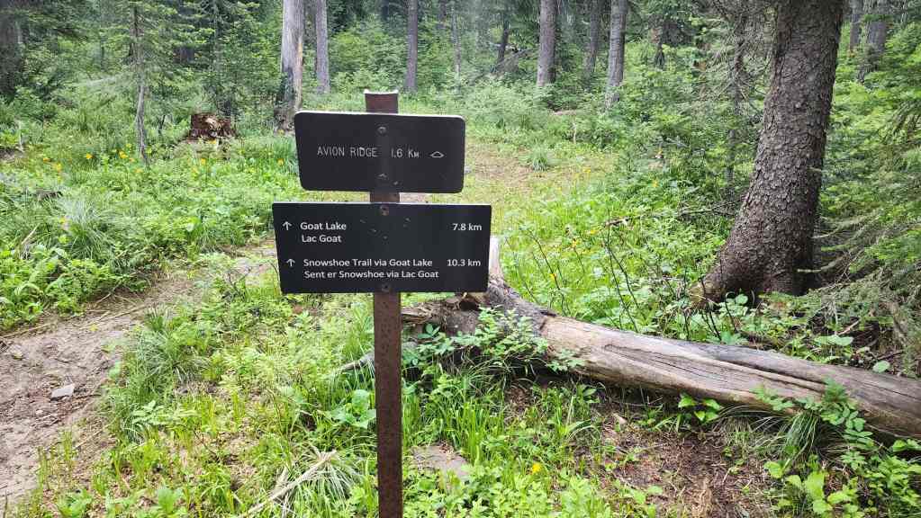
A closer look at the sign for Avion Ridge.
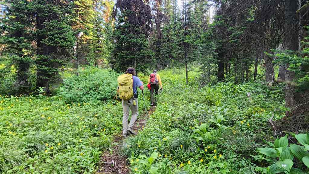
We’ll follow the trail a short way past the junction…

Until we come to a Park boundary sign.

For reference, from Red Rock Canyon, it took us 1 hour and 56 minutes (531 m elevation gain) to reach this point.
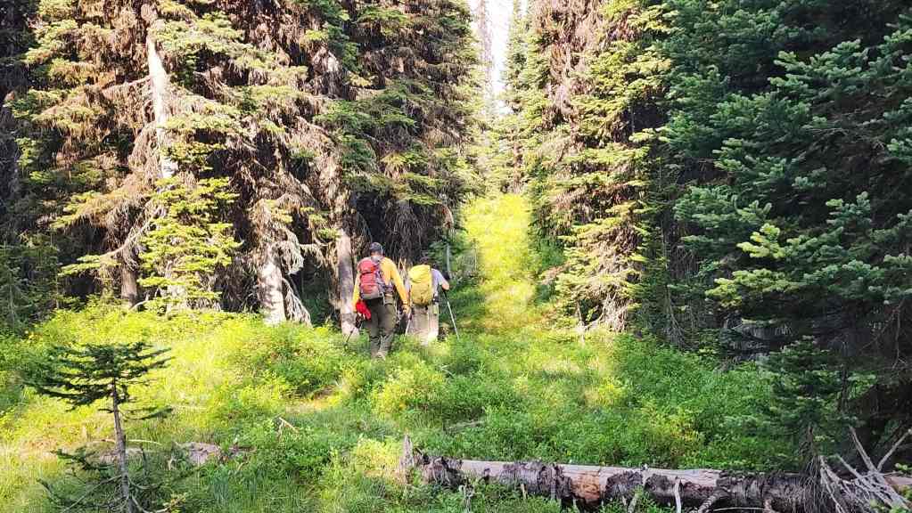
Starting west along the cutline towards “Sage Senior”.

Andy checks multiple maps as some older ones indicate a possible lake trail while newer ones no longer include it.
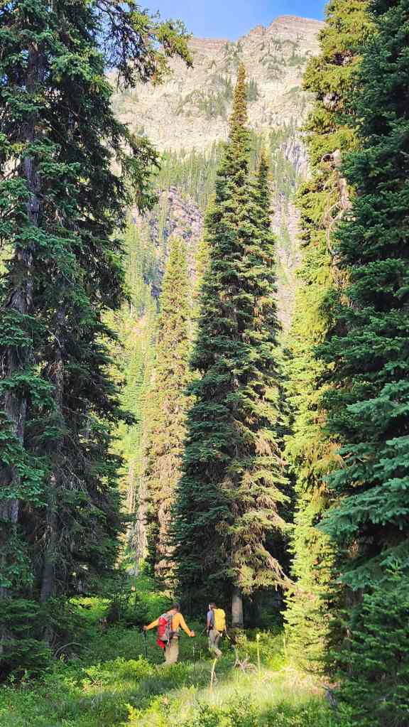
Continuing along the cutline with the massive east face of “Sage Senior” now in front of us.

Though we’d find remnants of a trail on the way back, we couldn’t locate it at this point in the day. So, at about the fourth Park boundary sign (including the one at the end of the Castle River Divide trail), we began to make our way through the bush and down to the lakes.

The first section was a bit steep, but like most of the day, the bushwhacking was not too bad.

It wasn’t long before the terrain flattened and our descent became enjoyable.

Andy and Brad admire the cliffs on “Sage Senior”.
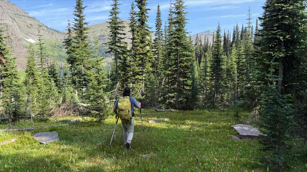
To be honest, I was not expecting our descent to be this ideal. The false summit of Sage Mountain can be seen in the distance on the right. (Photo by Andrew Nugara)

A series of open meadows provided lots to look at.
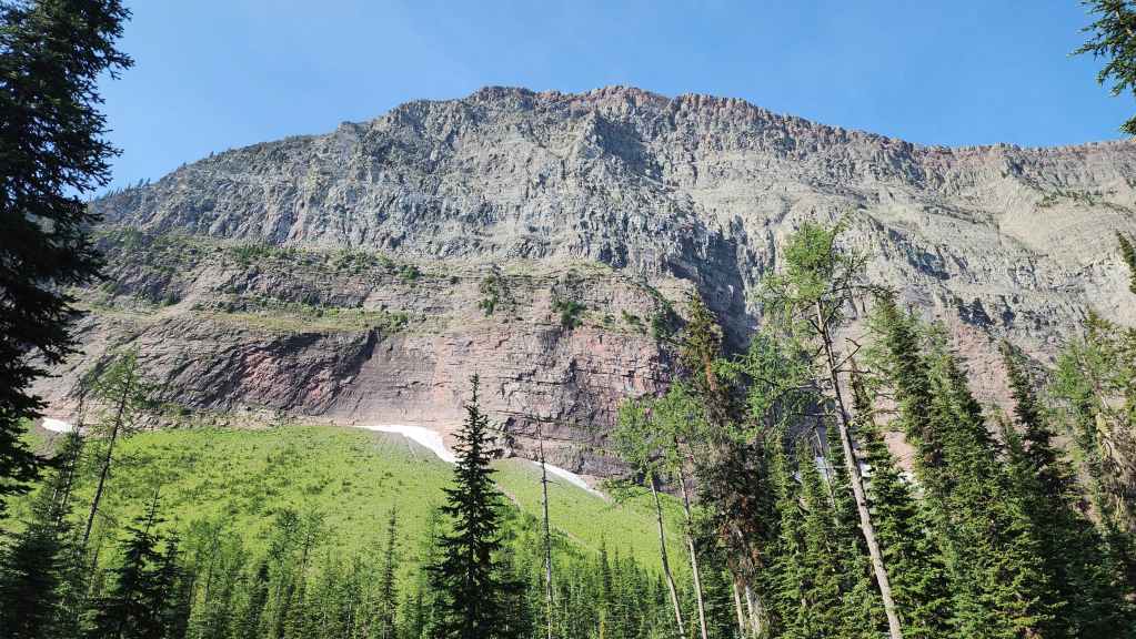
The view up to “Sage Senior”.

We stumbled onto the old trail but it would soon vanish.
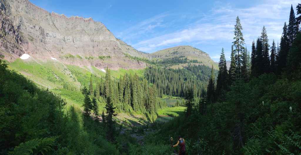
The terrain steepens as we near the lakes.
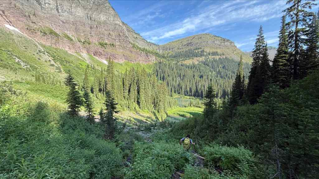
As he did for most of the day, Brad leads the way.
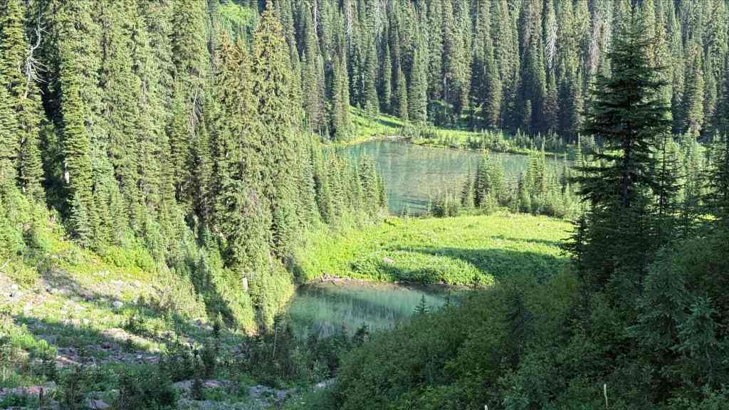
Arriving at the headwater lakes for the South Castle River. (Photo by Andrew Nugara)

We now had our first good look at Sage’s false summit (right) and the intervening high point (centre) on the connecting ridge to the Great Divide Trail (GDT).

A closer look at the smallest lake.

More of the same. The smallest lake is also the deepest. (Photo by Andrew Nugara)

A rough approximation of our traverse to Sage Mountain…

Followed by a rough approximation of our descent back to the lakes. As Brad noted, it may be quicker to ascend using our descent route. (Photo by Andrew Nugara)
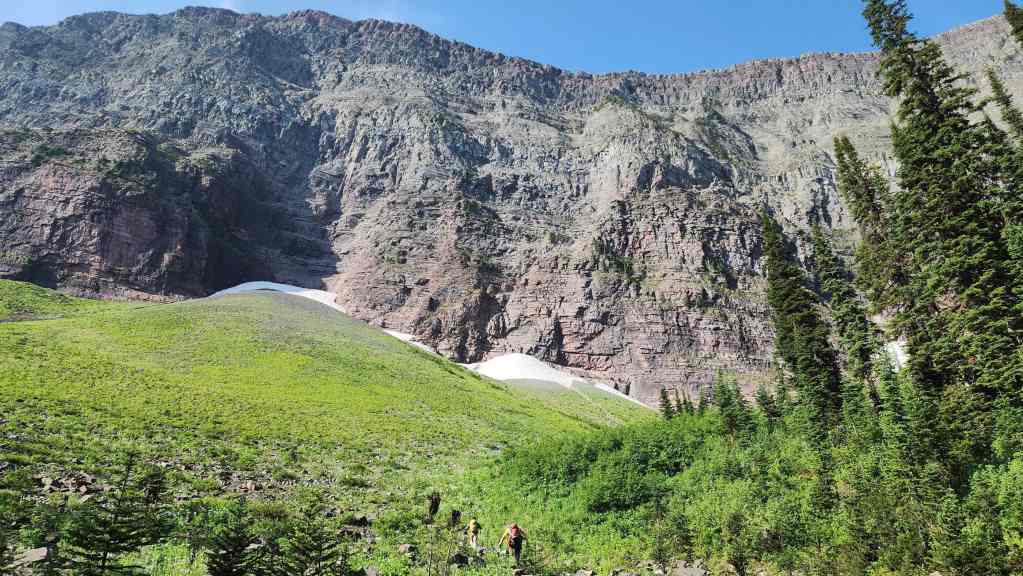
Heading up from the lakes to start our traverse.
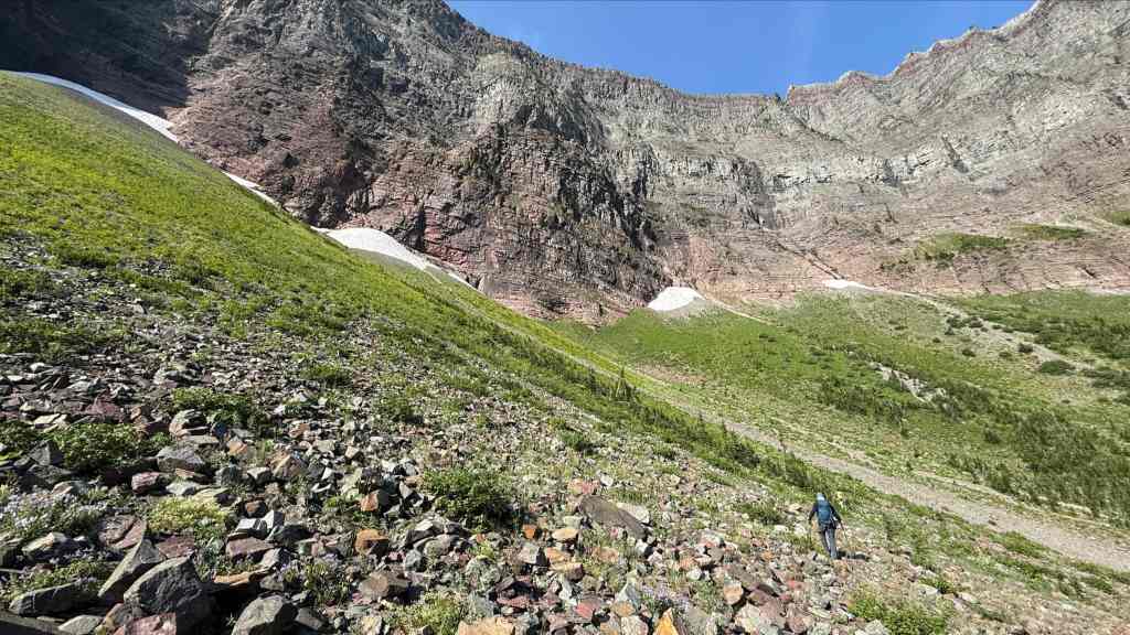
As far as traverses go, the first section wasn’t bad. (Photo by Andrew Nugara)
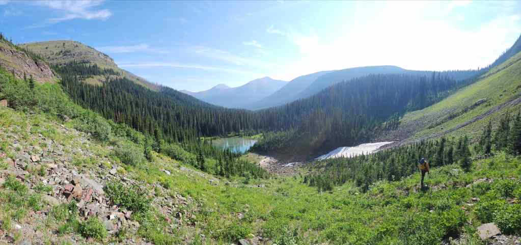
The view down the valley.

Andy’s view from the previous photo. (Photo by Andrew Nugara)

Our first good look at the largest lake.

Arriving at the section where the slope steepens and the traverse becomes more difficult. (Photo by Andrew Nugara)
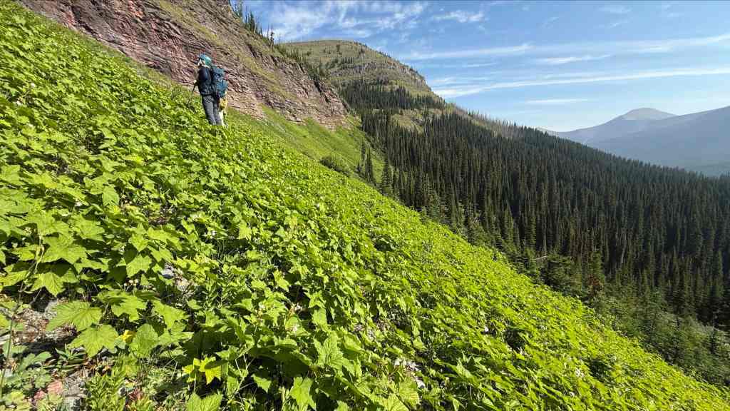
A good view of the angle of the slope. The vegetation combined with hard-packed dirt, made it awkward to side slope. (Photo by Andrew Nugara)

Heading to the base of the cliffs to find more suitable terrain. (Photo by Andrew Nugara)
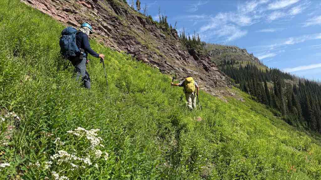
Thankfully, this section of the traverse wasn’t too long. (Photo by Andrew Nugara)

Sticking close to the rocks made things easier. (Photo by Andrew Nugara)

Almost there… (Photo by Andrew Nugara)

Off the annoying section and rounding the corner beneath the col between the GDT and the high point. (Photo by Andrew Nugara)
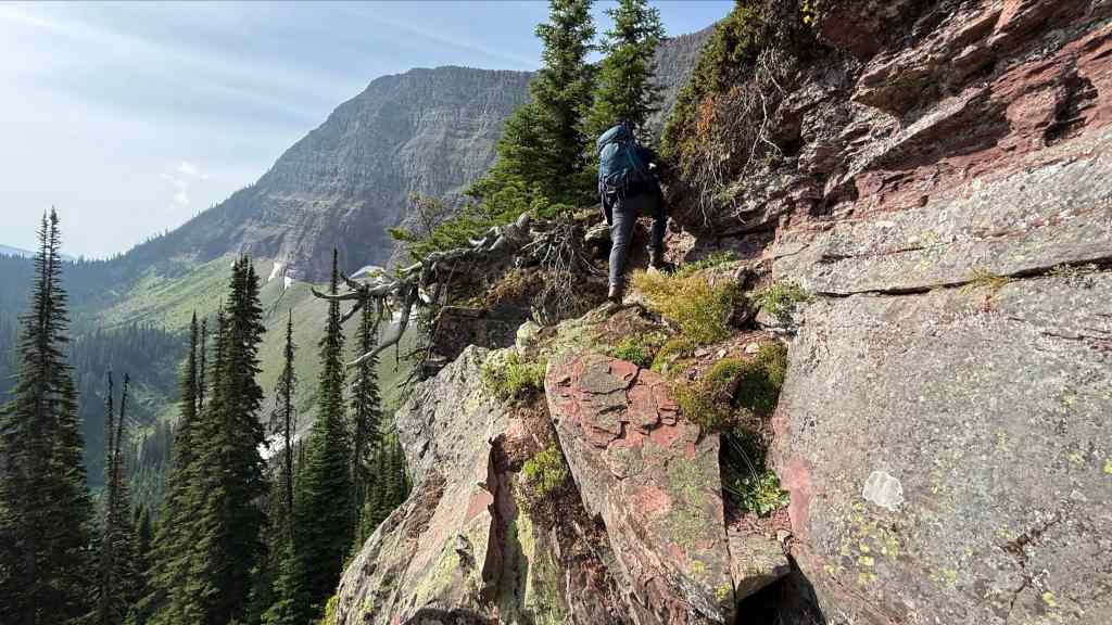
Brad’s instincts are seldom wrong and while it was tempting to keep heading forward, he suggested making a quick scramble to gain a bit of elevation. (Photo by Andrew Nugara)

Brad surveys the deep gorge that we would have encountered had we kept going forward.

There was no shortage of bear grass. (Photo by Andrew Nugara)
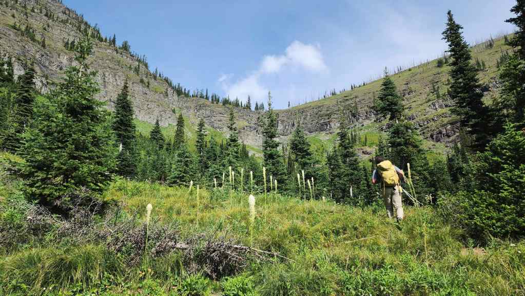
A better look at the col between the GDT and high point.

Always bet on Brad! 🙂 By ascending a short distance, we were able to find the perfect location to cross onto the high point.
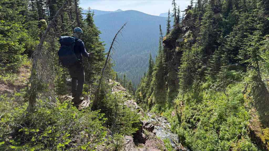
The start of the gorge that we avoided. (Photo by Andrew Nugara)
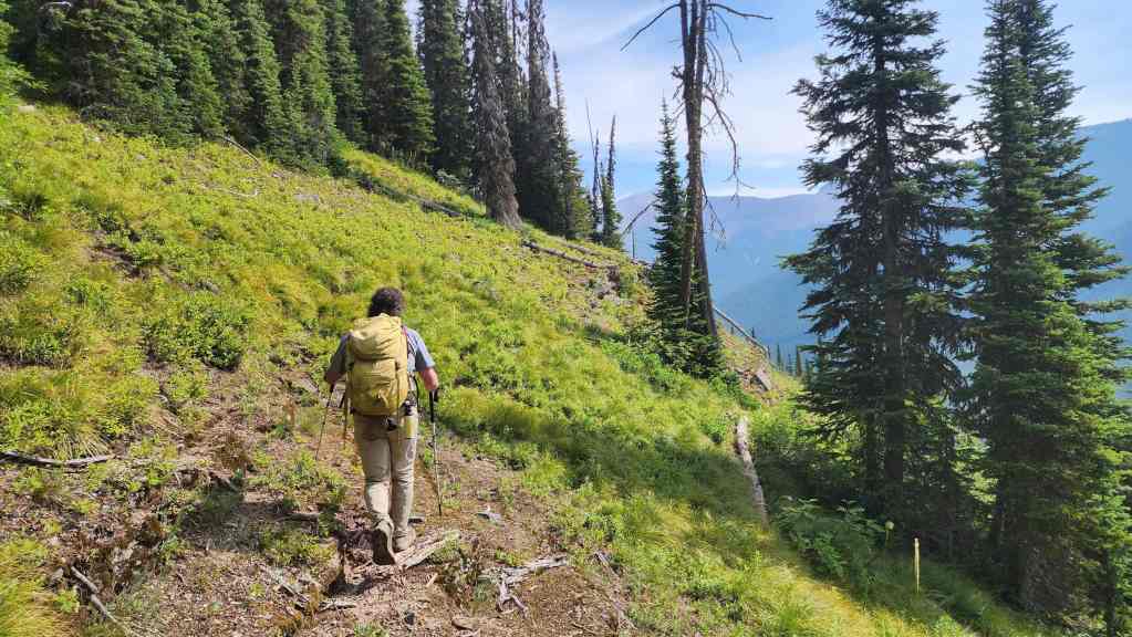
Beginning our traverse around the high point.

The view down towards both lakes.
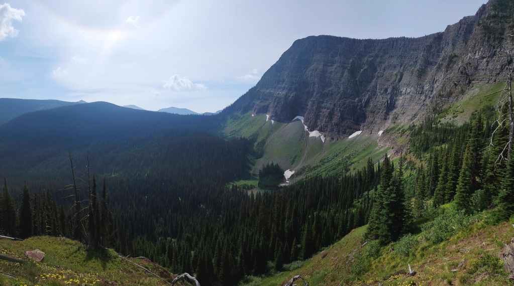
Looking back at the first section of our traverse.
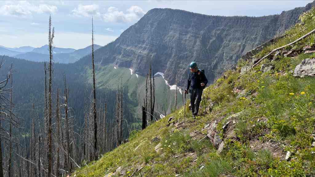
Another look back as we near the col between the high point and Sage Mountain. (Photo by Andrew Nugara)

Standing above the col with Sage Mountain. All things considered, our traverse worked quite well. 🙂
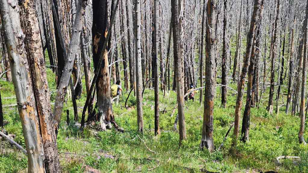
Heading onto the col.
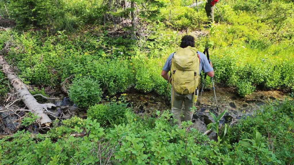
A small stream marked the lowest point of the col. For reference, from the lakes to the col, it took us 1 hour and 40 minutes to cover the ~1.9 km distance (266 m elevation gain).

Beginning our march up to the false summit. This section is deceptively foreshortened.
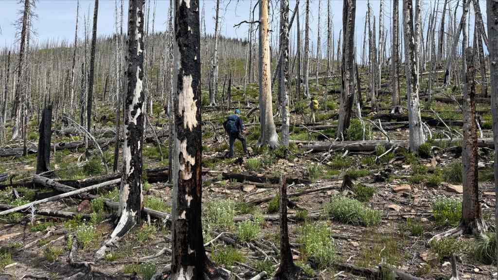
Thankfully, the deadfall was not an obstacle. (Photo by Andrew Nugara)
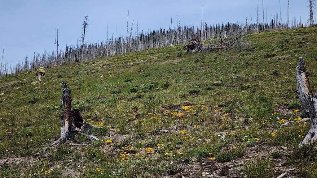
By this point, I was beginning to question why the heck I chose hiking as a hobby. 😂

Pausing to take in the view of Font Mountain. (Photo by Andrew Nugara)

Glancing back to the high point (centre) and “Sage Senior” (left of centre).
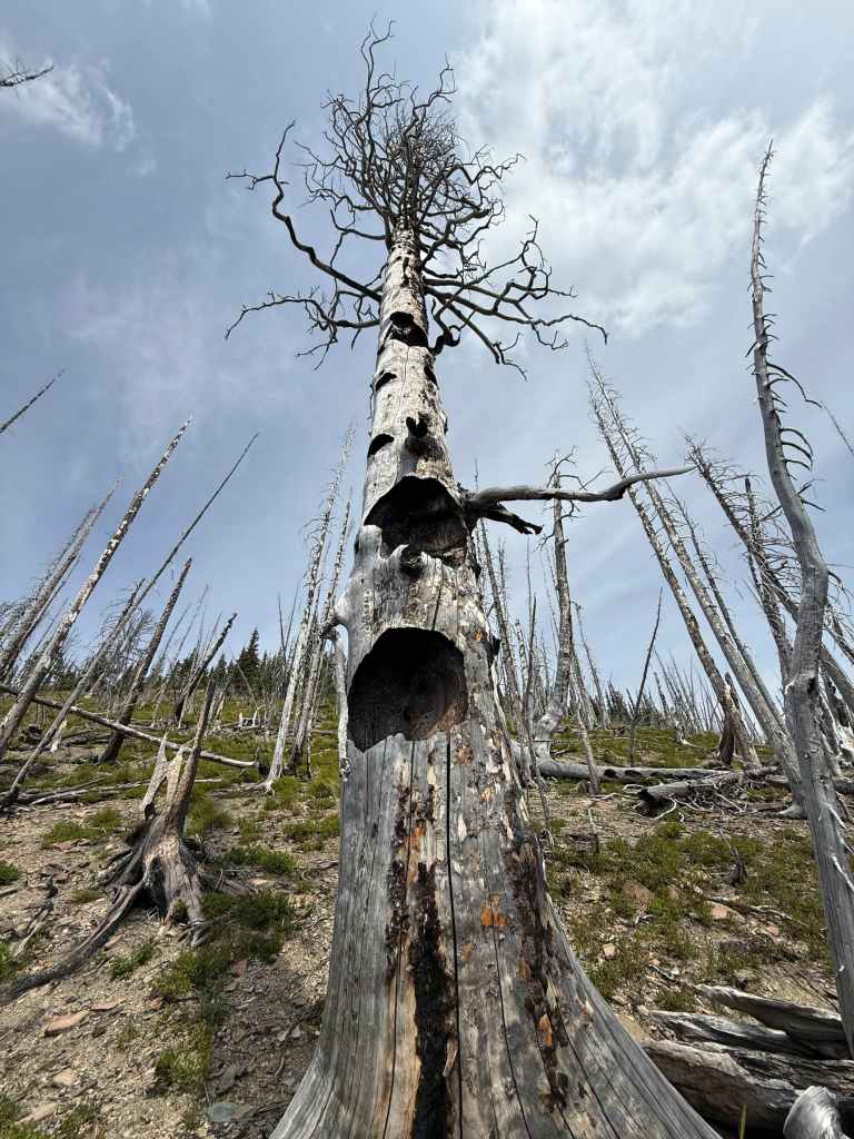
A gnarly old tree. (Photo by Andrew Nugara)
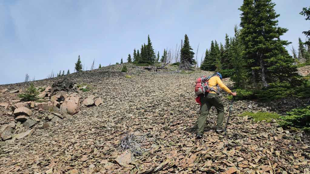
Still questioning my life choices. 😂
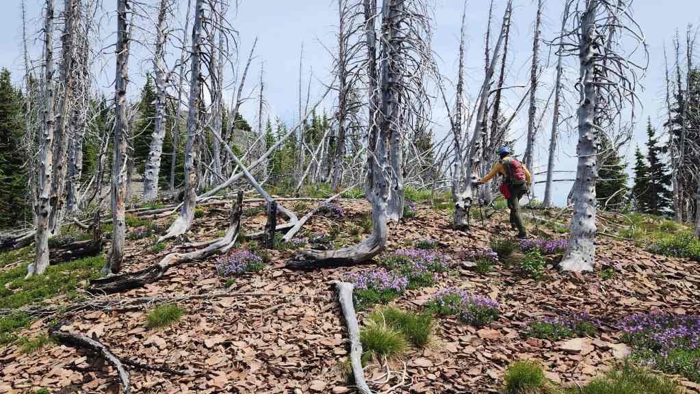
Almost there…

Finally!

Andy’s view back from the previous photo. (Photo by Andrew Nugara)
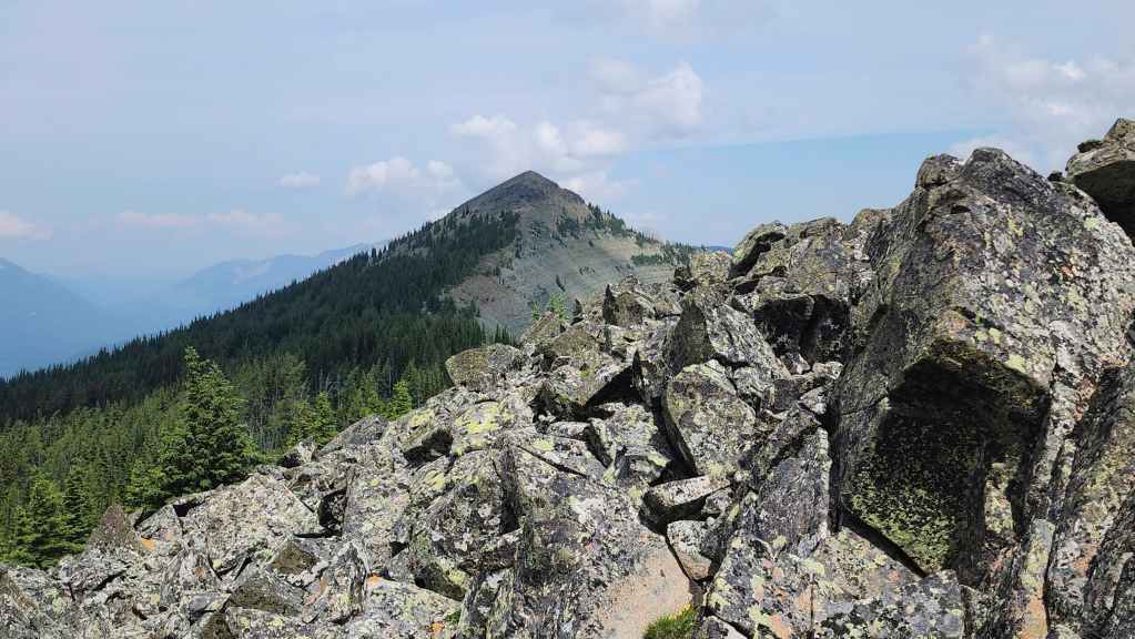
Looking towards the summit as we take a quick break on the false summit. From here, the summit is still ~1 km away.
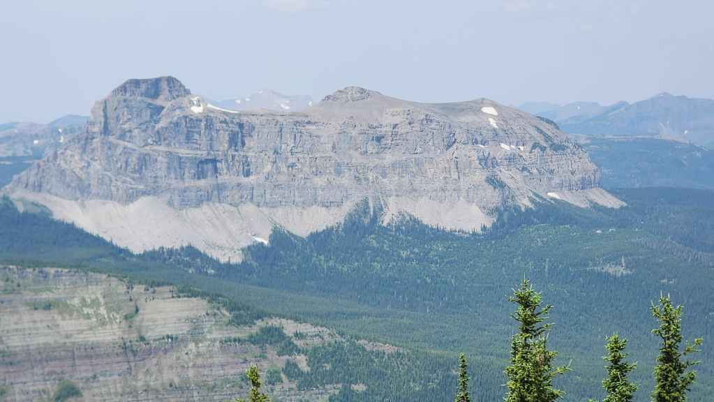
Gazing over to Mount Matkin.
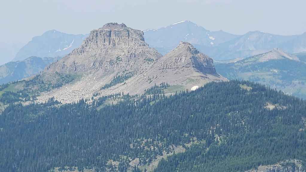
The false summit offers better views of Font Mountain than the actual summit.

Zooming in on a hazy “Jake Smith Peak”.
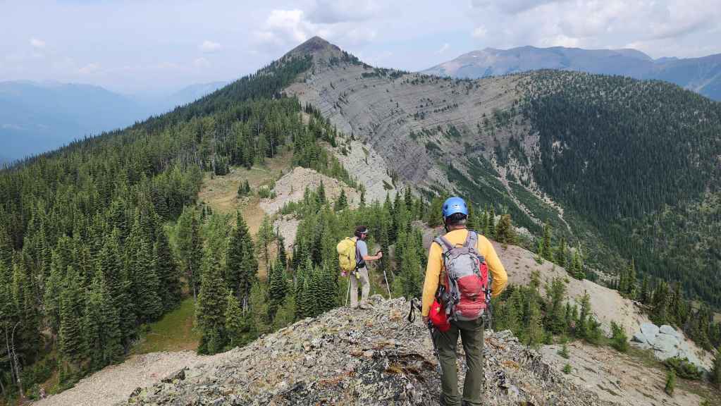
After a quick break, it was time to head to the summit.

The connecting ridge is not difficult and offers interesting terrain. (Photo by Andrew Nugara)
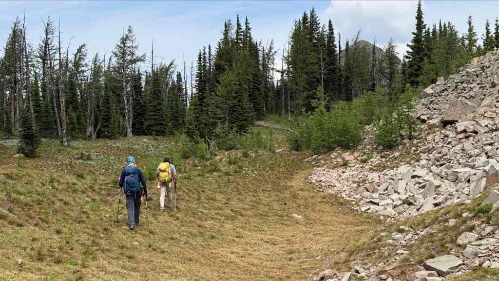
After the slog to the false summit, this was an enjoyable hike. (Photo by Andrew Nugara)
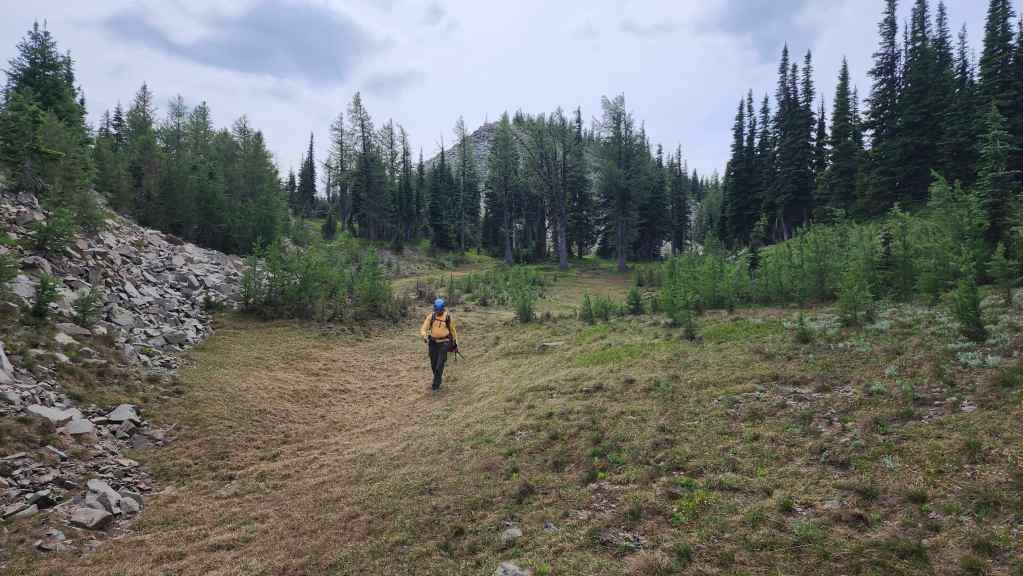
Looking back to the false summit.
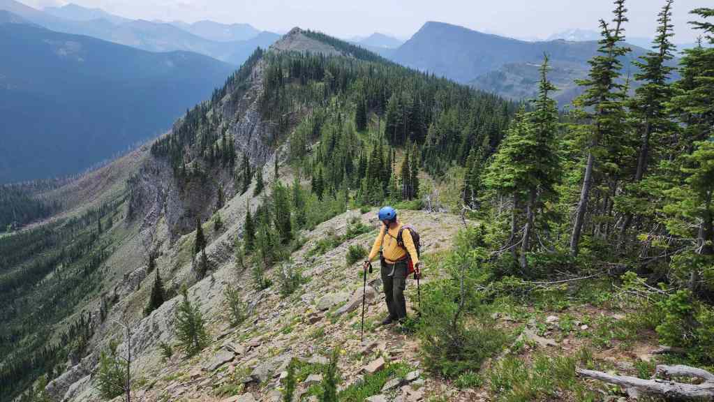
Another look back.

Getting closer… (Photo by Andrew Nugara)
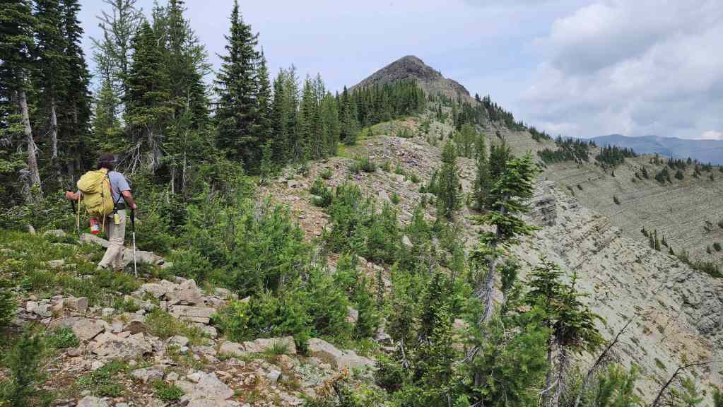
And closer.

A short scramble is required to reach the summit. (Photo by Andrew Nugara)

Other than a few loose boulders, there was nothing tricky. (Photo by Andrew Nugara)
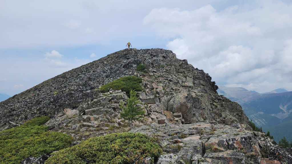
Brad nears the summit.

Another look back highlights how far Sage Mountain is from the GDT (right).
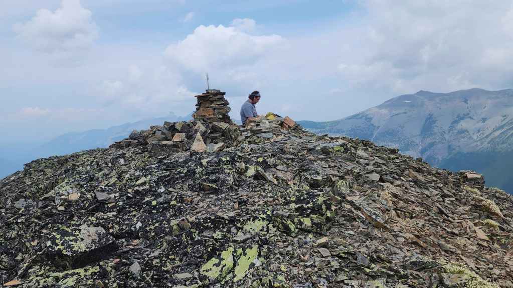
The summit of Sage Mountain (2368 m). Brad is already writing a salacious entry into the register. 😂 Most register entries on mountains talk about the views, etc., but Brad’s… well, you just never know what he’s going to write… For reference, from Red Rock Canyon to the summit, it took us 6 hours and 20 minutes to cover the ~16.7 km (1215 m elevation gain) distance.
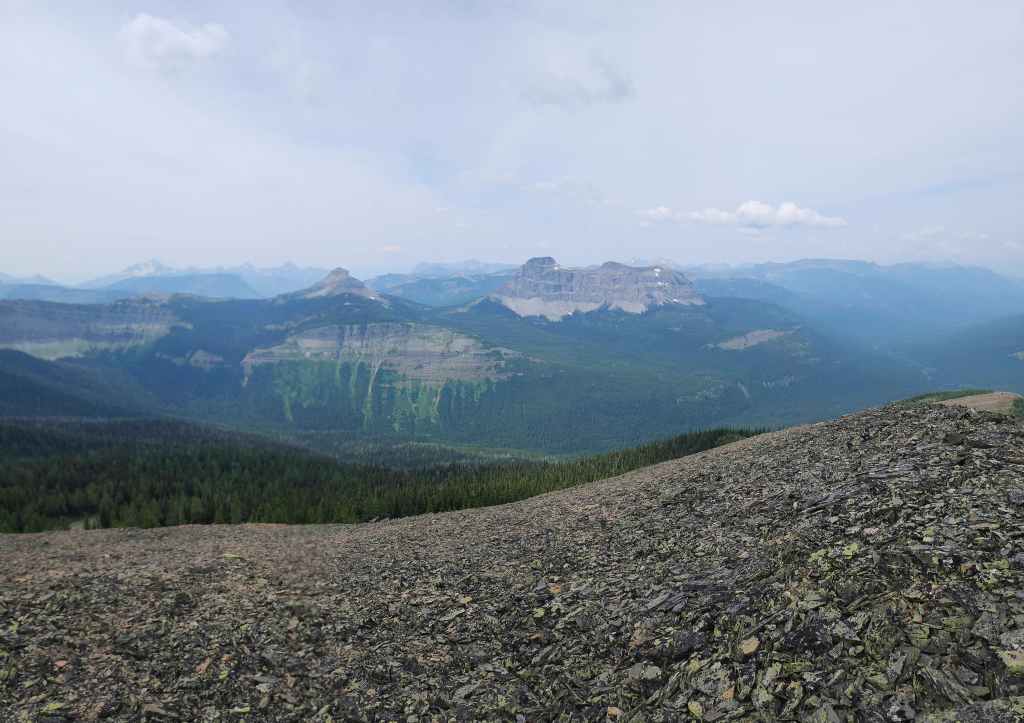
A pano to the west. It’s too bad there was forest fire haze as the views are quite good.
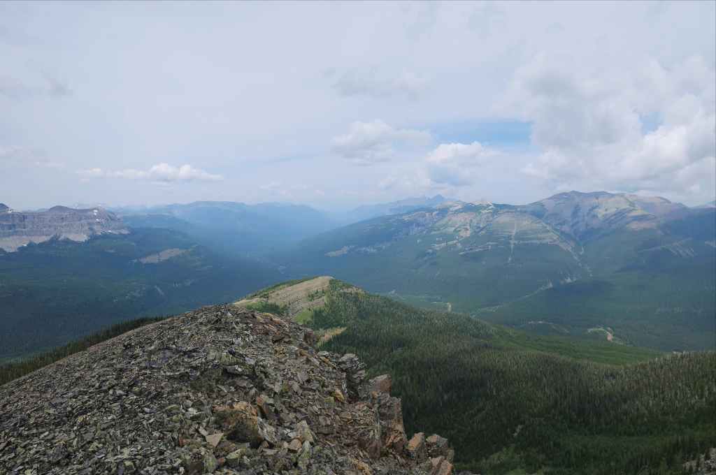
Looking to the northwest…

And then to the northeast.
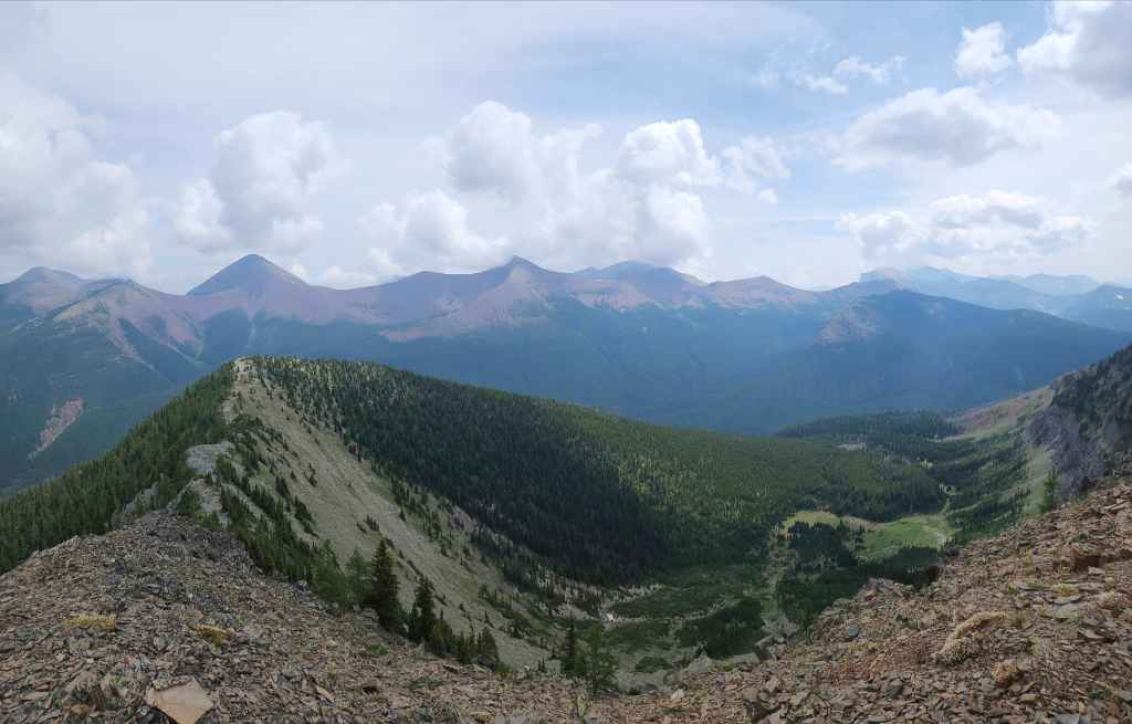
Looking east…
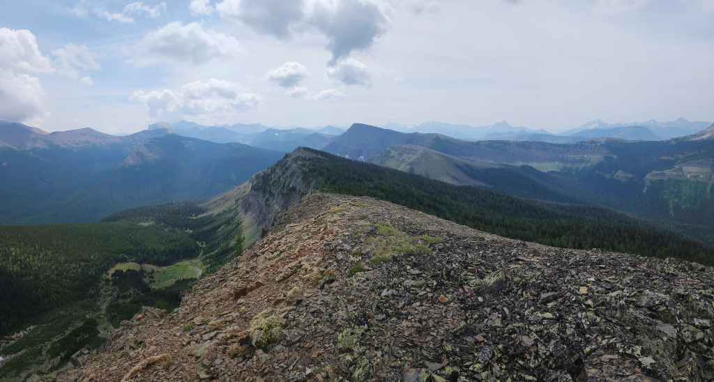
And finally, to the south.

“Sage Senior” (centre), along with “Sage Pass Peak” (left) and Festubert Mountain (left of centre).

A closer look at Mount Bauerman (left) and Festubert Mountain (right).
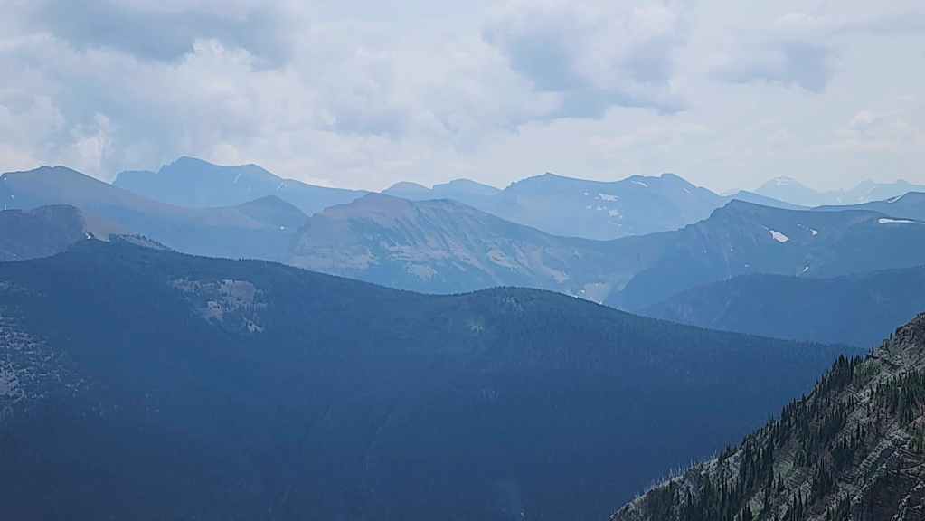
Anderson Peak (far left), Lost Mountain (left), “Kootenai Brown Peak” (centre) and Mount Bauerman (far right). In the background is Piinaquiium / Ahkoinimahstakoo (Mount Blakiston) (far left) and Mount Hawkins (right of centre).

The summit of Avion Ridge (centre).
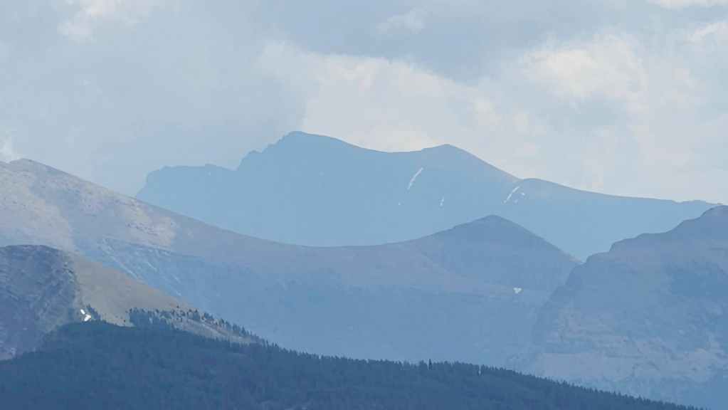
A closer look at Piinaquiium / Ahkoinimahstakoo (Mount Blakiston).

Compared to the false summit, the view of Font Mountain is not as good.

Mount Matkin sits directly to the west.

It’s hard to believe that it’s been 10 years since Andy and I were on Lys Ridge.
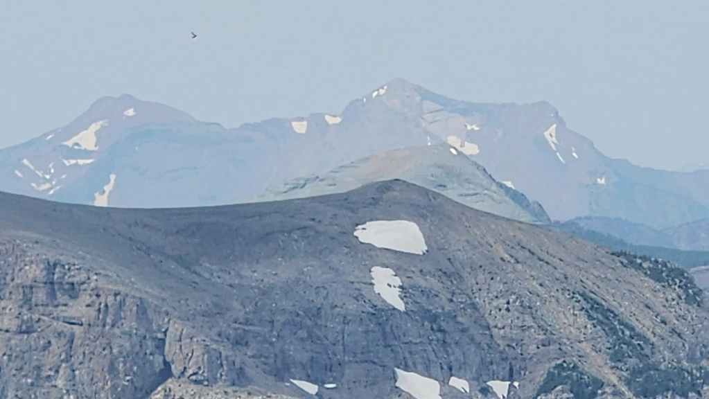
Scarpe Mountain (left) and “Jake Smith Peak” (right of centre).
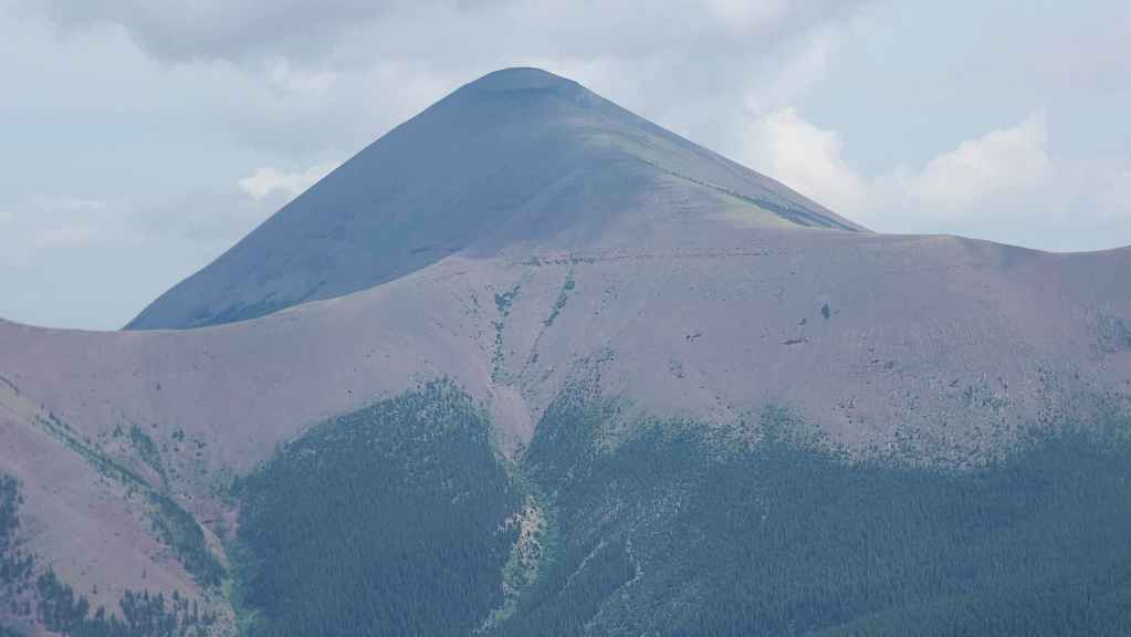
Speaking of a long time between visits, the last time I was on the summit of Loaf Mountain was 2012. Holy moly am I getting old! 😂

Spionkop Ridge sits directly to the east.
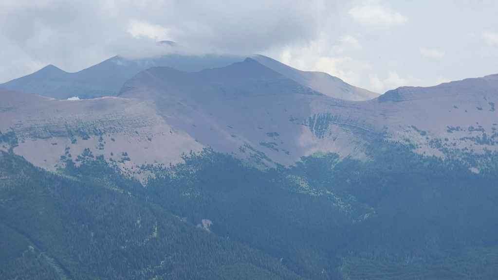
A beclouded “Newman Senior” along with Newman Peak (far right).

A good view of Victoria Ridge.

Zooming in on Castle Peak (left) and Windsor Mountain (right).
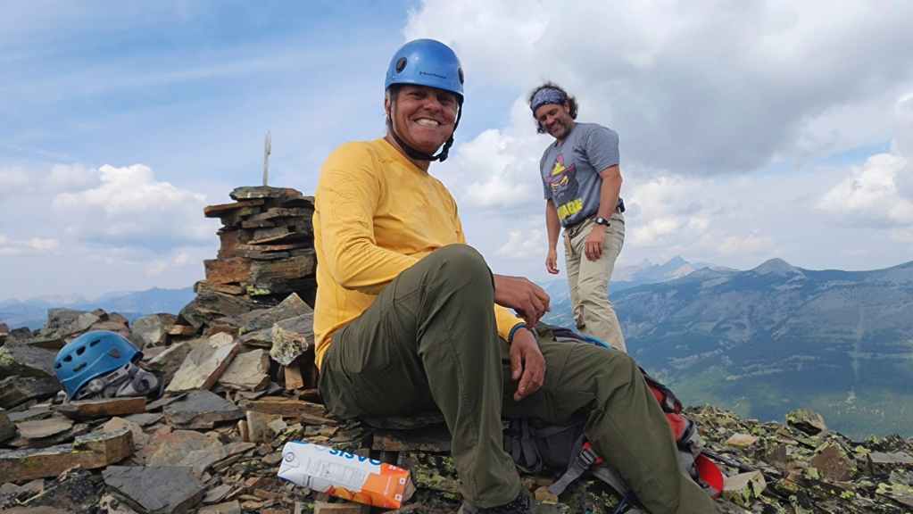
It’s always a great day when you get to hike with these two. 🙂
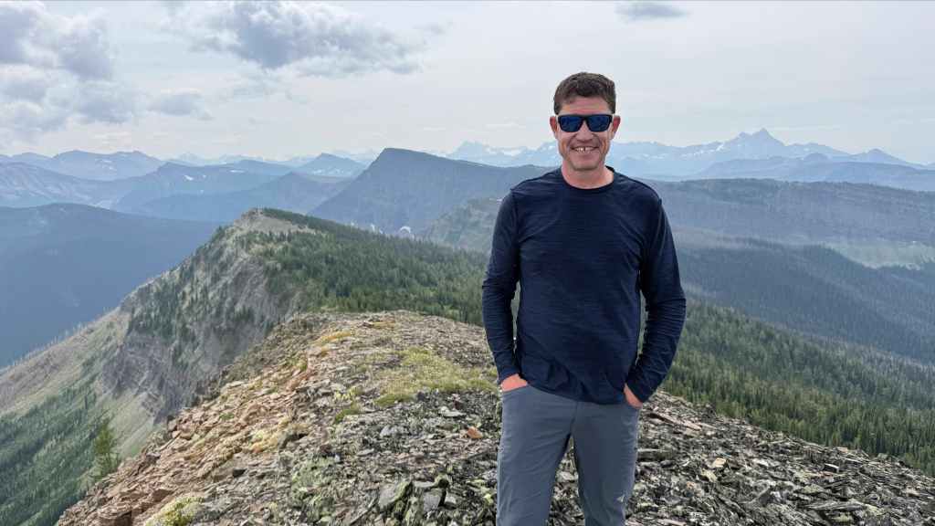
Just your everyday summit photo… (Photo by Andrew Nugara)

Followed by a slightly terrifying glimpse into Brad’s summit antics. 😂 If you’re ever asked to take a summit photo with Brad, don’t stand too close or let your guard down. 😂 (Photo by Andrew Nugara)
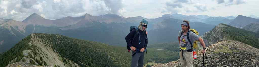
After spending 30 minutes or so on the summit, it was time to head back. (Photo by Andrew Nugara)
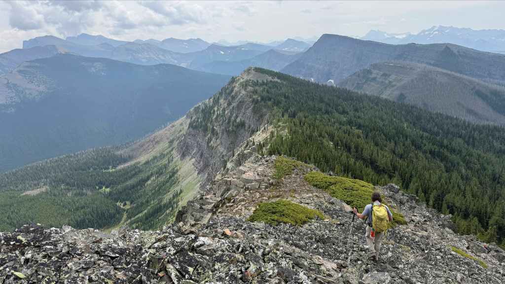
Leaving the summit…

And heading to the false summit. (Photo by Andrew Nugara)
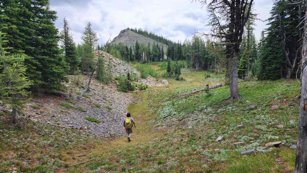
Nearing the false summit.

There was a cluster of interesting sandstone-like rock on the false summit. (Photo by Andrew Nugara)

To head back, we’ll descend to the col and then directly to the valley floor.

It was way easier going down.

This was the second Boreal Toad that I came across. They are considered to be a species at risk, so I refrained from licking it. 😂
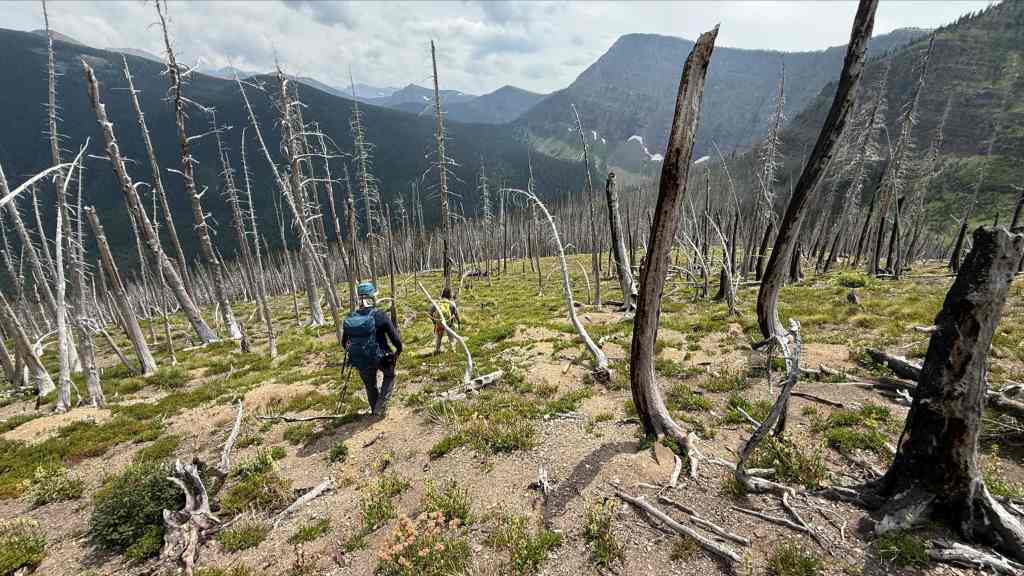
Nearing the col. (Photo by Andrew Nugara)

Beginning our descent into the valley.

All in all, it was fairly smooth sailing, but as we neared the trees, we encountered clusters of deadfall along with moderate bushwhacking. However, nothing proved too difficult to navigate. Then again, what we consider moderate might be crazy bad for someone else.
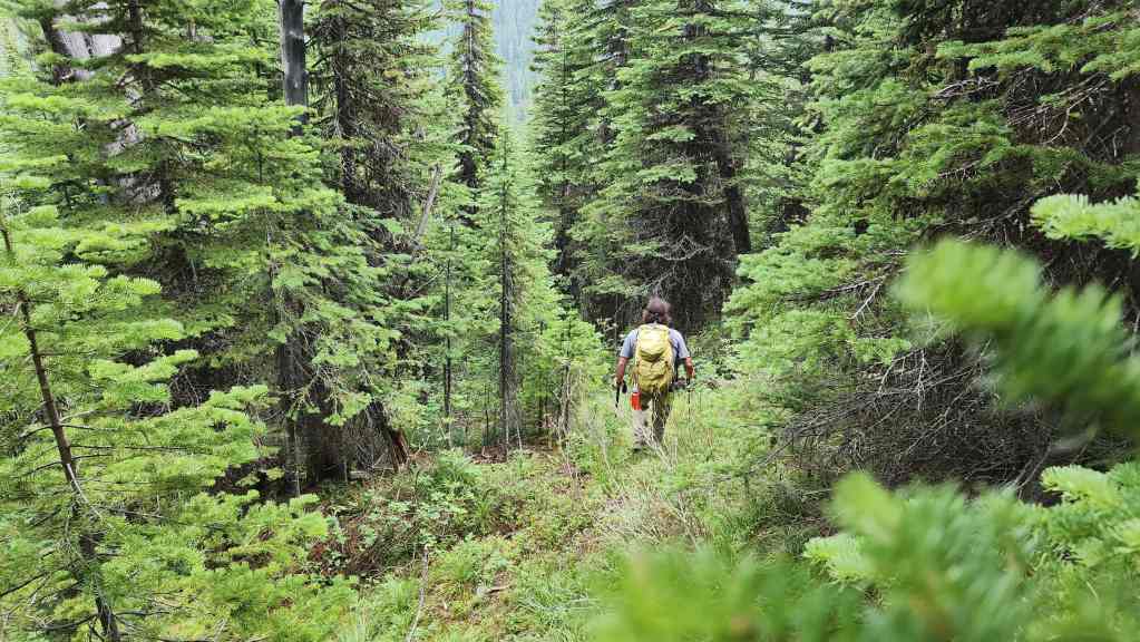
A milder section as we near the valley floor.
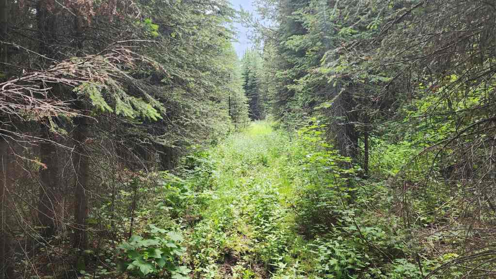
Off the mountain and onto the old logging road.
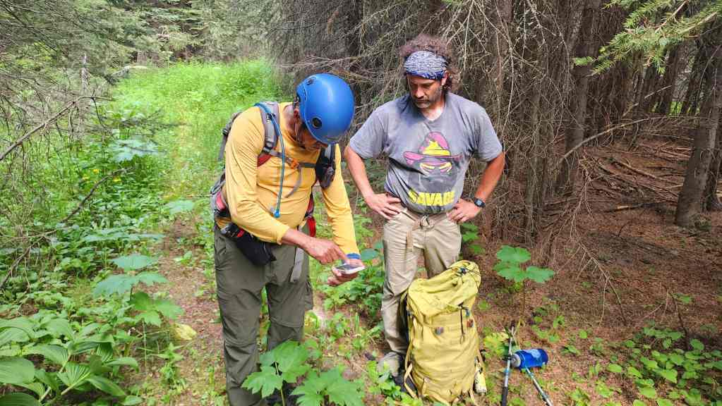
Andy consults the old map that identified the logging road. Given to him by a wisened old hag at the cost of his soul, Andy must now perform the blood monkey ritual during each full moon; otherwise the magic in the map will disappear. 😂
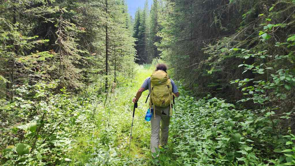
We will follow the road towards the lakes for ~570 m at which point it will come to an abrupt end.
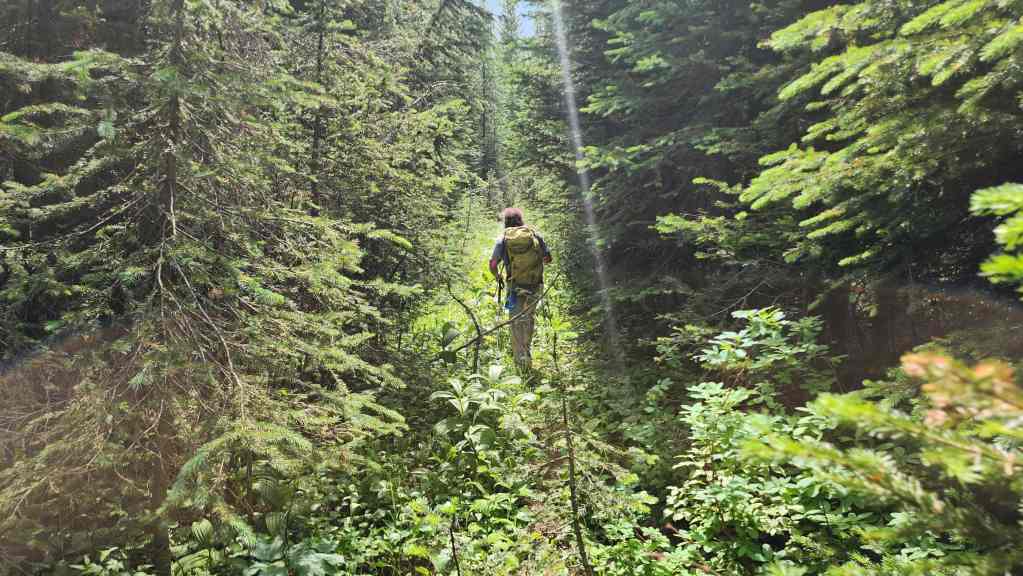
For the most part, the road was in decent shape.
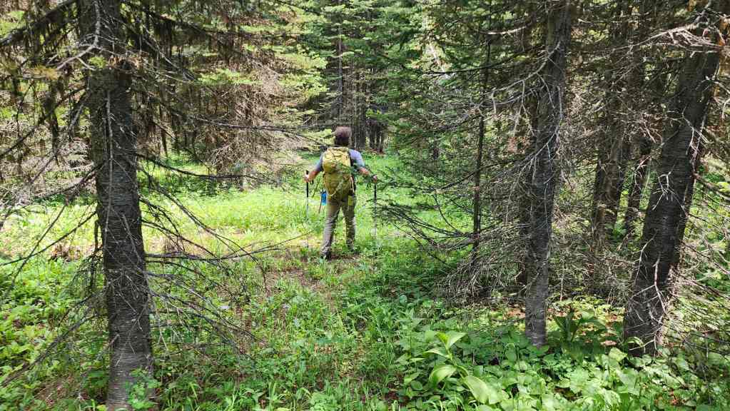
When the road ended, we began to head towards the outlet stream.
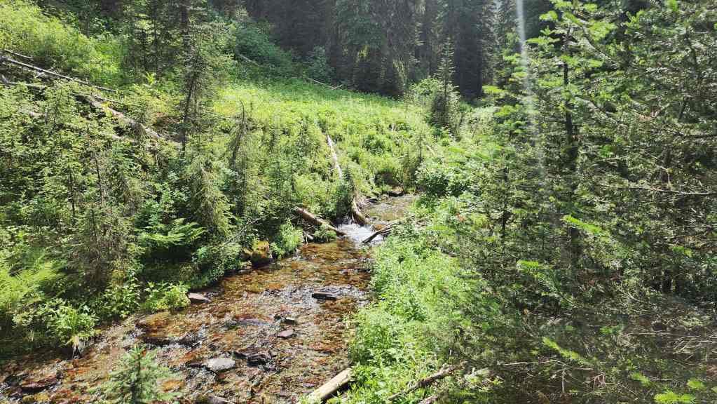
We’d then follow the stream for the remaining distance to the lakes.
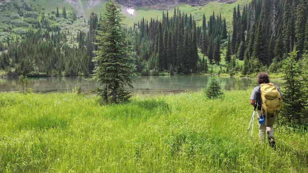
Arriving at the largest of the two headwater lakes. For reference, from the summit to the lakes it took us 2 hours to cover the ~4 km (663 m elevation loss).
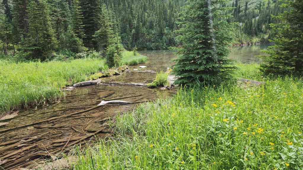
The start of the South Castle River.
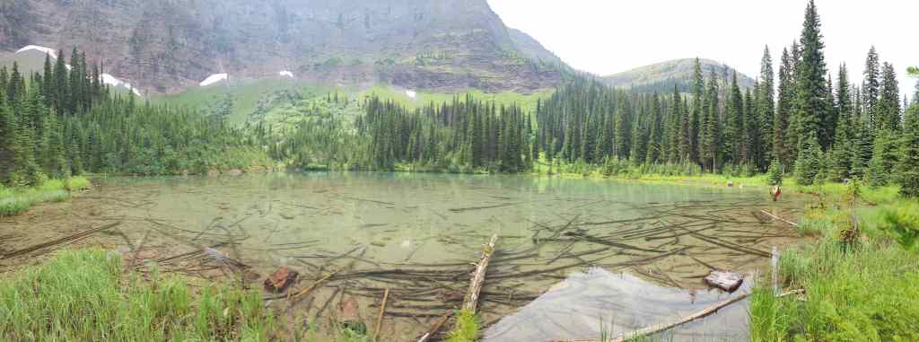
The largest lake is also the shallowest one.
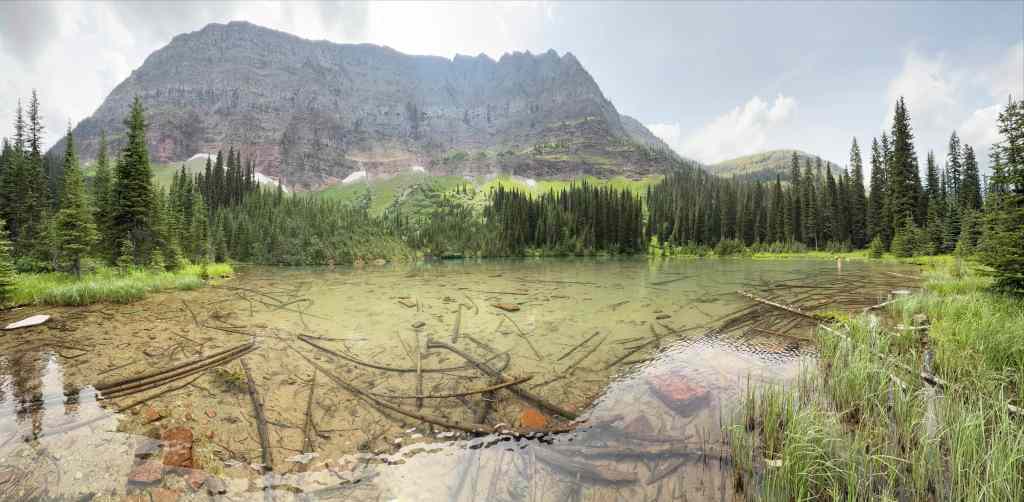
“Sage Senior” towers above. (Photo by Andrew Nugara)
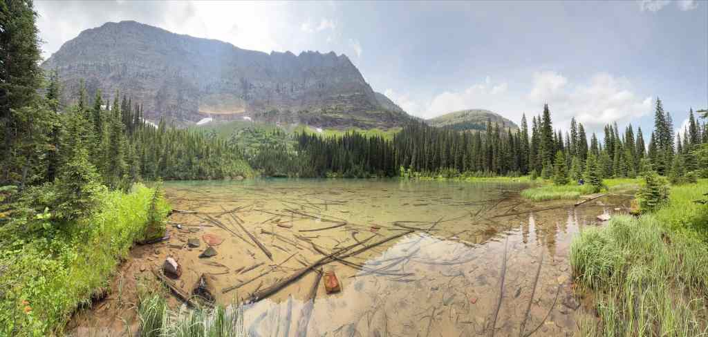
Another pano of the lake. (Photo by Andrew Nugara)
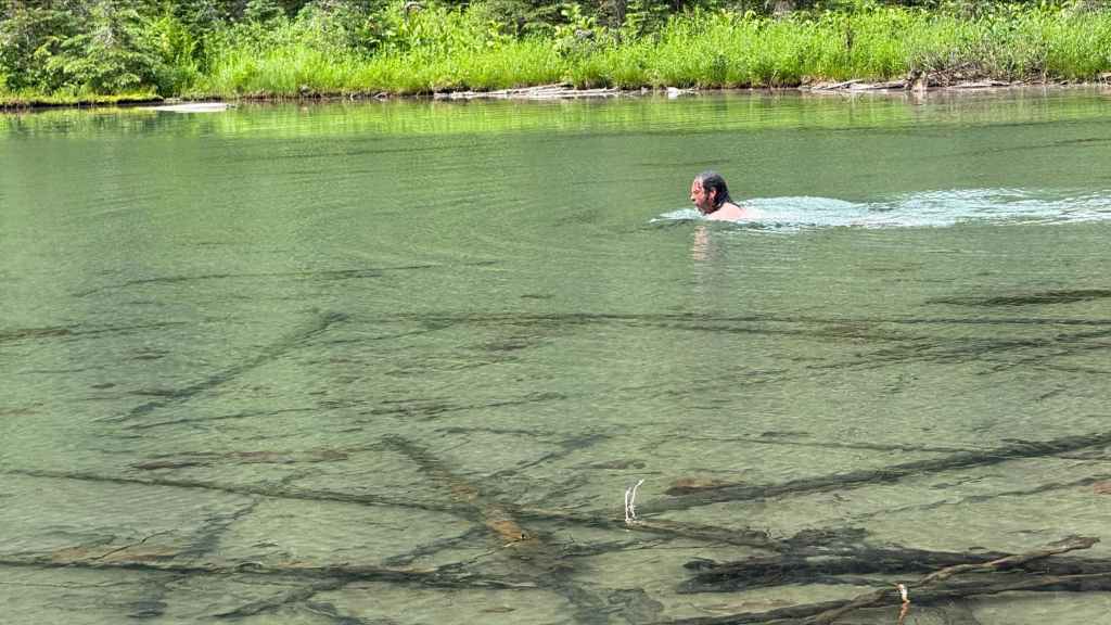
Brad goes for a swim. Afterwards, he’ll relax on the shore with a flask of port and a good pipe. 🙂 (Photo by Andrew Nugara)

An old hearth beside the lake.
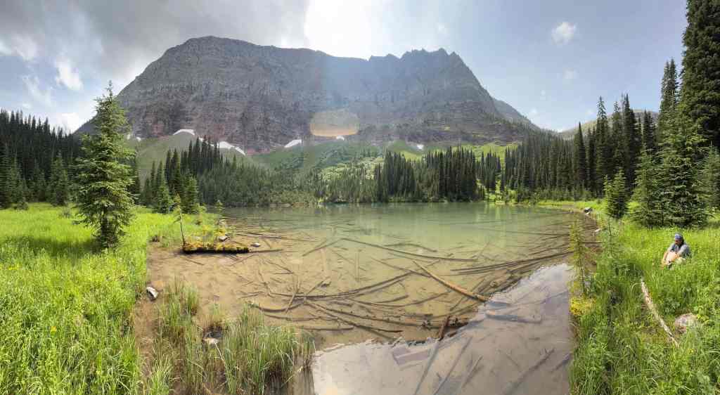
One more look at the largest lake. (Photo by Andrew Nugara)
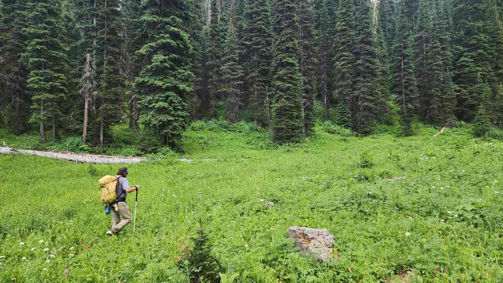
Heading over to the smallest lake.
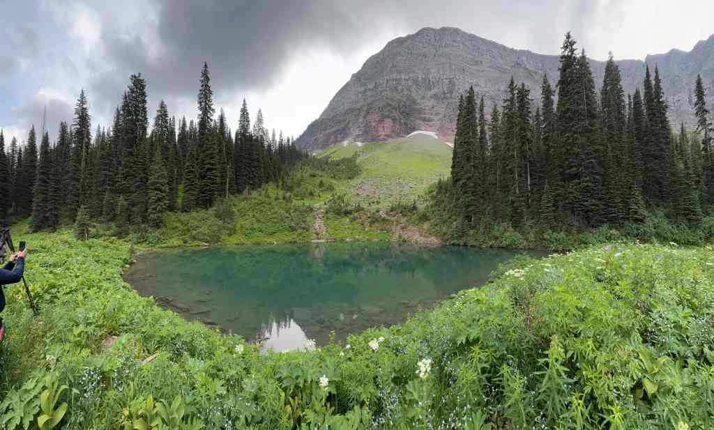
This lake is quite a bit deeper. (Photo by Andrew Nugara)
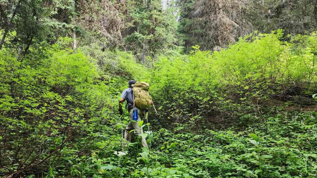
To ascend, we chose a small drainage…
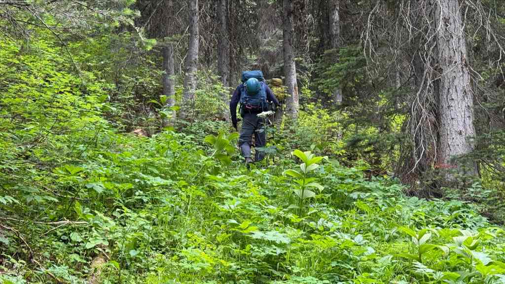
And before long, found ourselves on the old lake trail. (Photo by Andrew Nugara)

Sawn logs confirmed that this was indeed, a human-made trail.

Still on the trail…
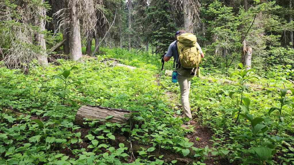
Note the long-ago sawn logs.
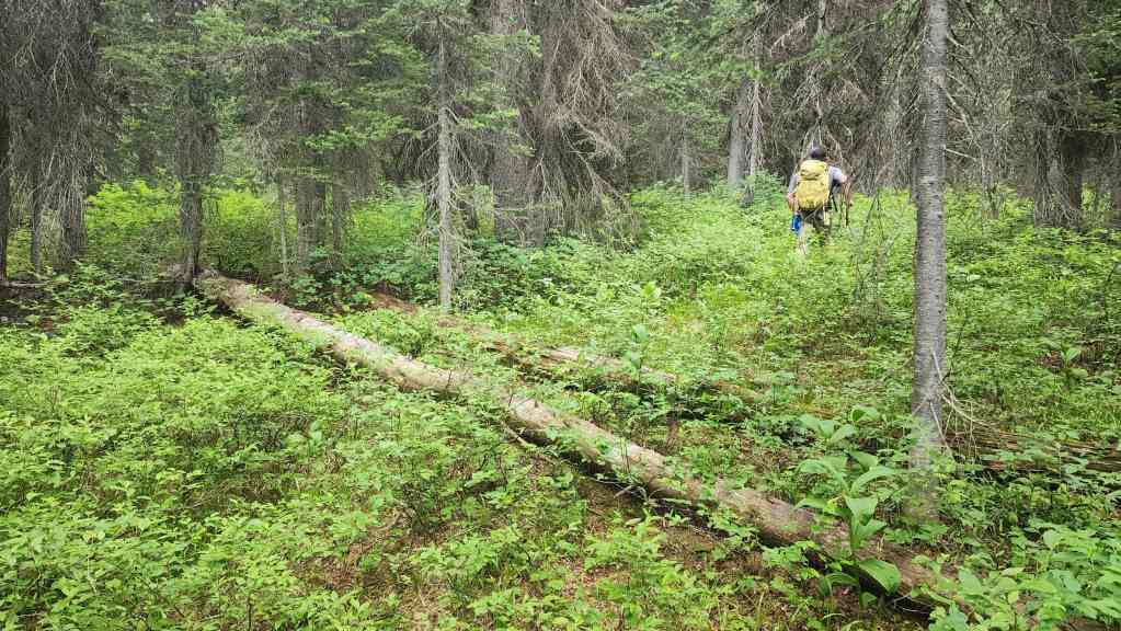
And just like that, the trail completely disappeared. No matter, we just continued to make our way up to the Divide.
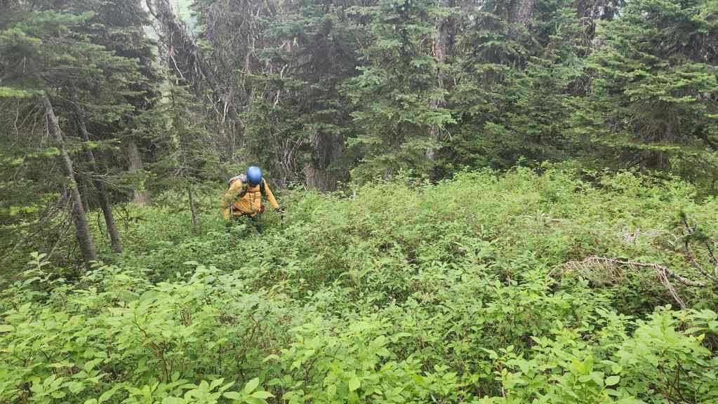
We picked up the trail again as we neared the top…
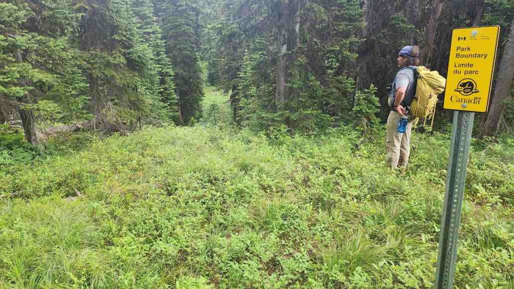
Where it emerged at the boundary sign a short distance from where the Castle Divide Trail ended (centre).
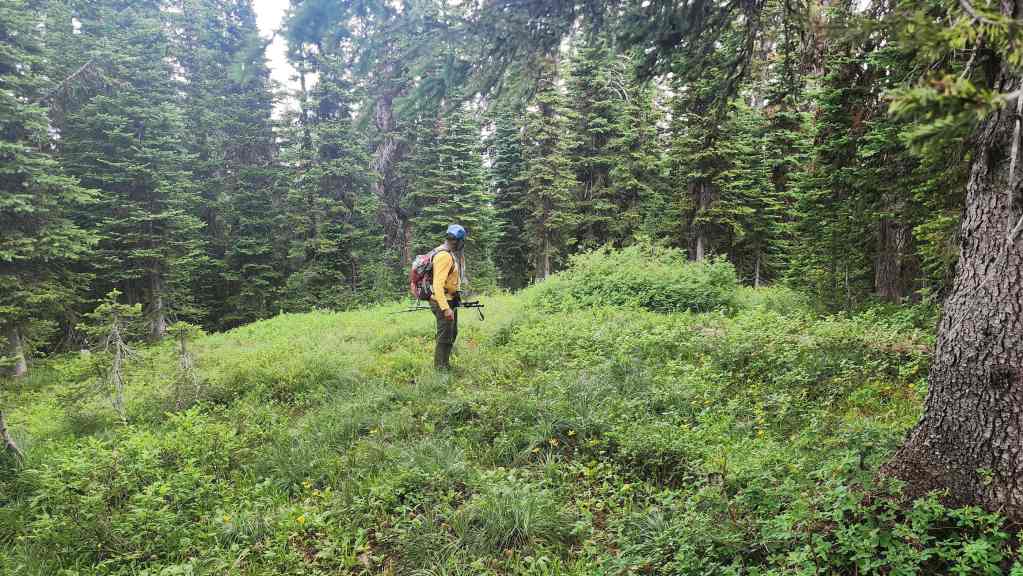
Andy looks back at the hidden entrance to the trail.

Everything will be easy peasy from here.
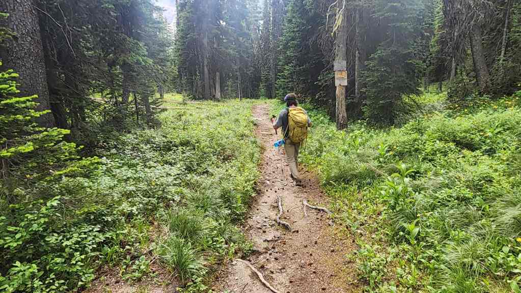
Making the quick hike back to our bikes.
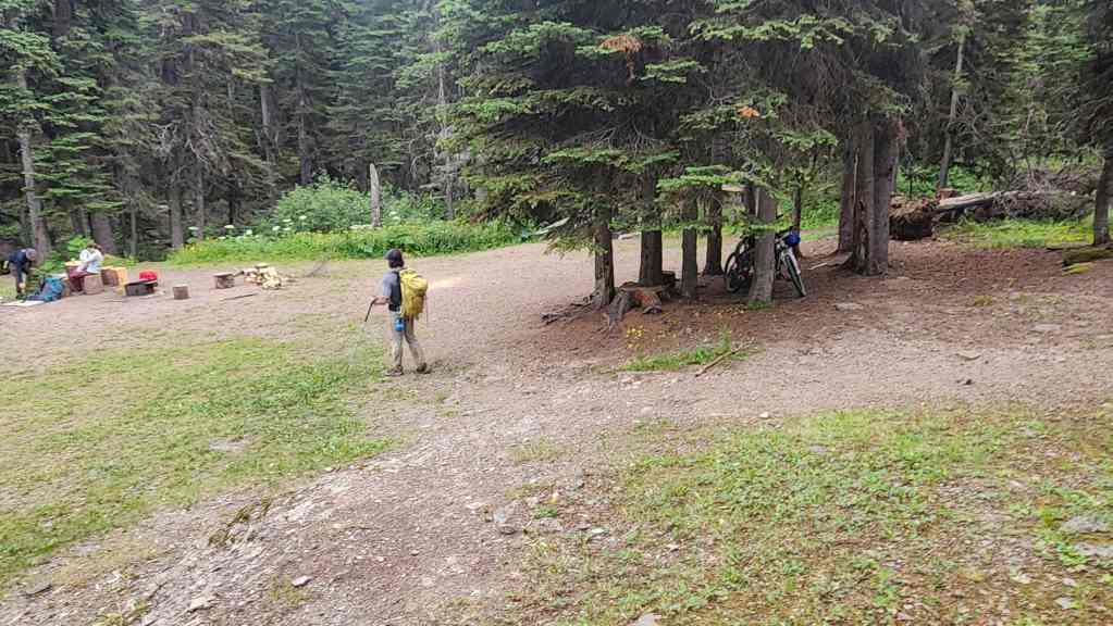
Brad chats with a couple of backpackers as we arrive back at the Snowshoe hut.
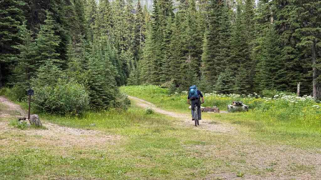
This is where the bikes will work their magic. (Photo by Andrew Nugara)

So far so good…
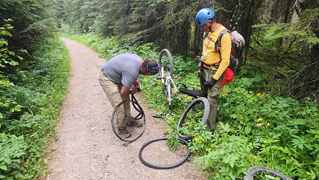
Dang! Shortly after leaving the Snowshoe hut, Brad developed a flat. Twenty minutes later, we were once again on our way.

Arriving back at Red Rock Canyon 11 hours and 40 minutes after starting. In total we covered ~33 km with a total elevation gain of 1565 m. I was really pleased that the route we concocted a year ago actually worked as well as it did – and that we could tackle Sage Mountain as a day trip. The added bonus of visiting the headwater lakes was the icing on the cake. A huge thanks to Andy and Brad for another spectacular day in the mountains!


Leave a Reply