
⚠️ Hiking and scrambling are inherently dangerous activities. Please read my Disclaimer. ⚠️
After enjoying lunch on the summit of Maisstooinastáko (Arras Peak), it was time to make the trip over to Maisstooinastáko (“Petit Vimy”). As I mentioned in the Arras report, Brad did some great post-hike research that including looking at maps of the Vimy Ridge battlefield. Today, Petit Vimy is the site of a British Cemetery where three Canadian soldiers are laid to rest. Interestingly, All Trails has a hiking route for the Canadian War Memorial on Vimy Ridge and that begins at Petit Vimy. Thus, as a play on the moniker, “Vimy Minor”, but also as a connection to the real Vimy Ridge, “Petit Vimy” is a great nickname for this interesting diversion. Again, it is just a nickname and no one outside the three of us has to use it or for that matter, might even care to use it. 🙂
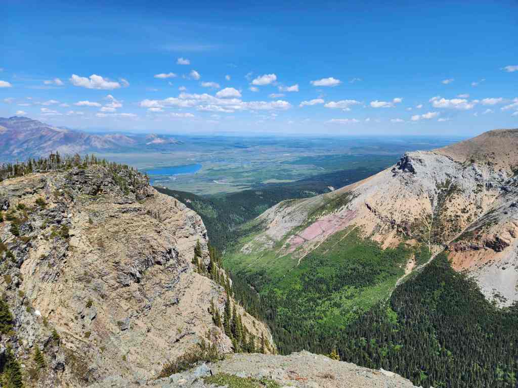
What I will say, is that this little peak (which is a spur off the main ridge) is something that the three of us have repeatedly noticed over the years and was a place that we were all curious to explore. That it was such a quick trip from the summit of Maisstooinastáko (Arras Peak) meant it was something we couldn’t pass up. The surprise for us wasn’t the dramatic north face itself, but rather, the impressiveness of Sullivan Falls on the northeast face.
Highlighted in Joe Josephson’s Waterfall Ice Climbs in the Canadian Rockies on pages 57 and 58, Sullivan Falls is not located near a trail and is much further up the valley than Sofa Falls, so I’m going to guess, it doesn’t get many visitors. Seeing only the lower portion of it from the summit of “Petit Vimy” really made us want to return and bushwhack our way up the valley one day to see the entire feature.
Anyway, after enjoying all the views from the summit, we headed back, but instead of returning to the main ridge, we traversed beneath it until we were on the shoulder where we first gained the ridge. From here, we followed the trail back to our bikes and then back to our vehicles. I doubt many (or any) will be interested in this short diversion, but if you’re like us and have ever wondered what that prominent little peak is, then what follows might be useful information. 🙂
Be sure to read Andy’s most excellent trip report!

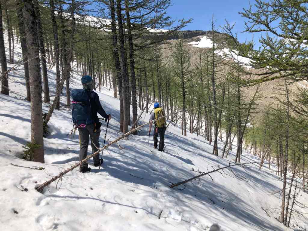
Routes up Saakiimaapi / Maisstooinastáko (Vimy Peak) and Maisstooinastáko (Arras Peak) are aptly described in Andrew Nugara’s, More Scrambles in the Canadian Rockies, and both the Wishbone and Vimy Peak trails are highlighted on Park maps. To get to Maisstooinastáko (Arras Peak), we biked the Wishbone trail for ~6.5 km to the junction with Vimy Peak trail. Note that there is an unbridged crossing of Sofa Creek ~4 km from the trailhead.
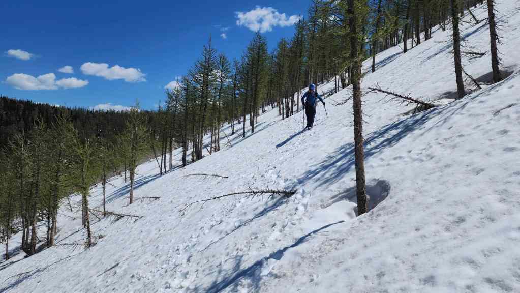
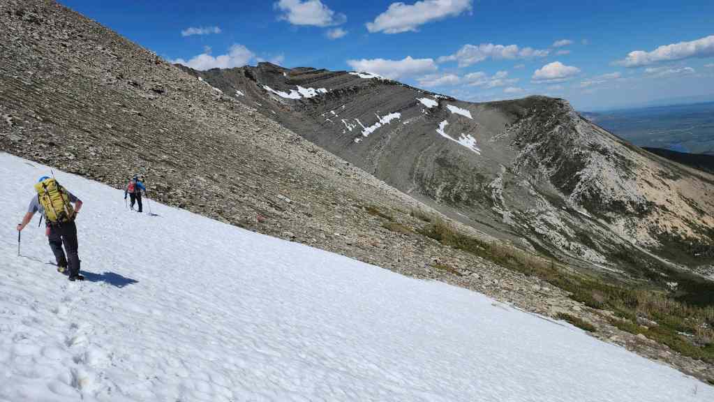
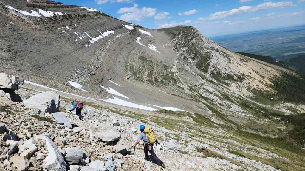
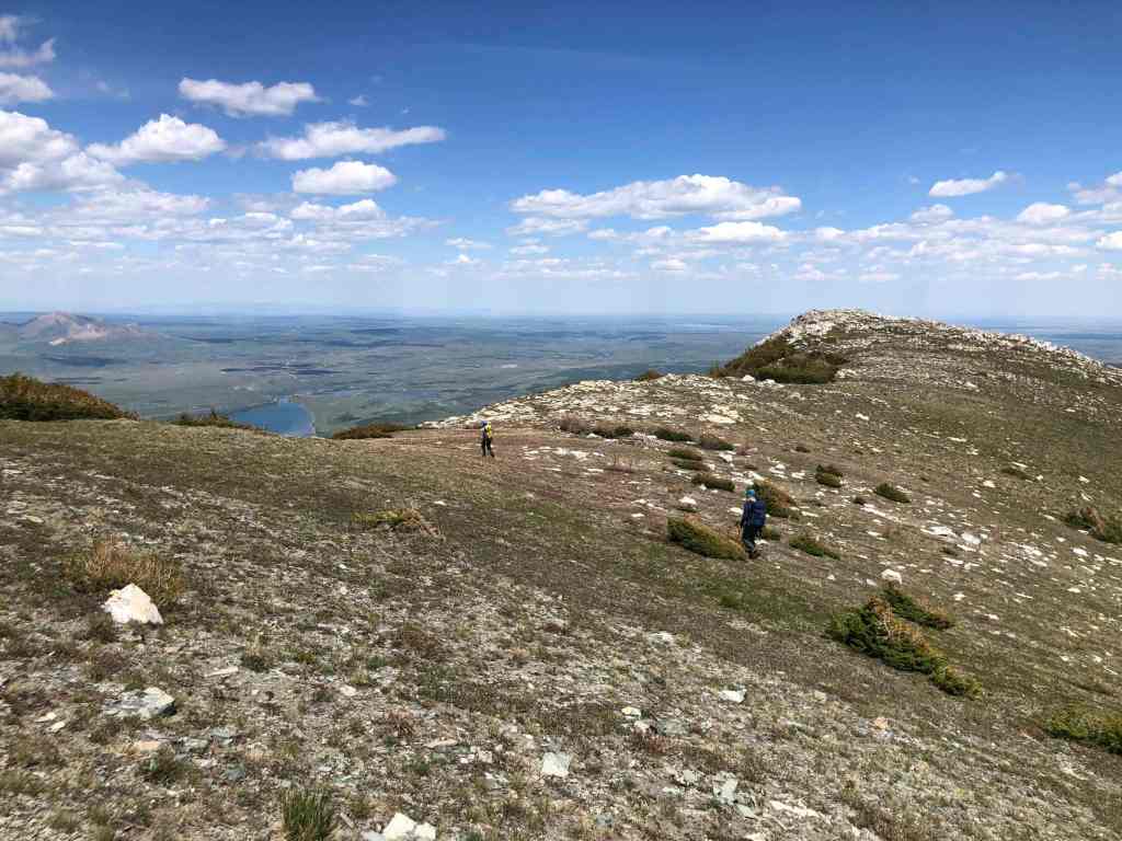
From the Vimy trailhead, we hiked for ~4.8 km until we came to the official end of the trail which is marked by a secondary trail that breaks off to climber’s left towards Maisstooinastáko (Vimy Ridge) and another trail that breaks to climber’s right and up Saakiimaapi / Maisstooinastáko (Vimy Peak). Following the trail to the base of a small shoulder ridge, we left the trail to ascend a small high point at the far northeast end of the shoulder. From the start of the secondary trail to the top of the high point, it was a ~683 m hike with a 179 m elevation gain. From here we hiked onto the main ridge then it was a ~2 km hike / scramble to the summit of Maisstooinastáko (Arras Peak). For reference, due to the nature of the terrain it took us almost 1 hour and 45 minutes to cover the 2 km.
After a leisurely time on the summit, we made the quick hike to the summit of Maisstooinastáko (“Petit Vimy”). This was a 1.1 km hike with a 200 m elevation loss to the col and then a 34 m gain to the summit. To get back, we returned to the col and made the 2 km traverse back to the shoulder that we used to gain the main ridge earlier in the day. For reference this was much quick than following ridge, taking us just over an hour to complete. From the shoulder we followed the trail back to our bikes and then rode back to the Wishbone trailhead.

I forgot to turn on my GPS until we arrived at the Vimy Peak trailhead, so another 6.5 km needs to be added to the total along with another 30 m of elevation and 34 minutes of time. So, adding this additional data would make our total roundtrip distance 31 km with a total elevation gain of 1473 m. Our total roundtrip time was 9 hours and 30 minutes.

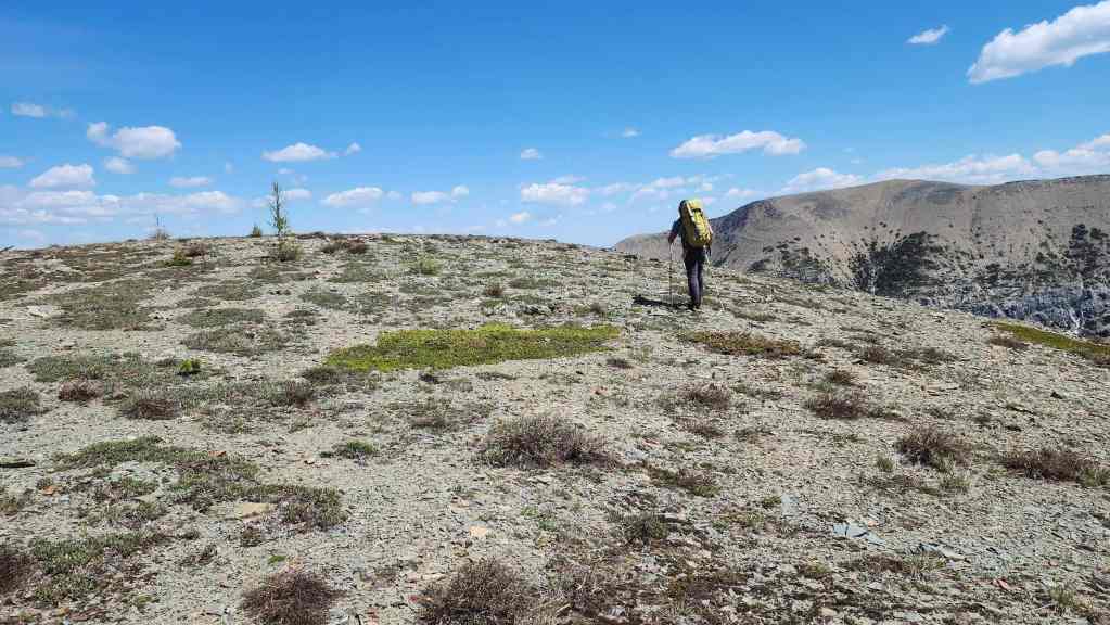
Leaving the summit of Maisstooinastáko (Arras Peak).

My view over to Andrew…

And his view back to us. (Photo by Andrew Nugara)
Brad leads the way. We were really hoping that the snow wouldn’t be too soft to walk on…

It wasn’t. In fact, Andy was able to enjoy a short glissade.
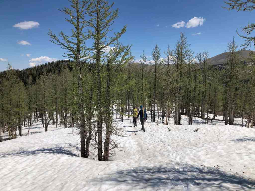
Making the short walk over deep snow to the summit. (Photo by Andy Nugara)

The view back to the summit of Arras.
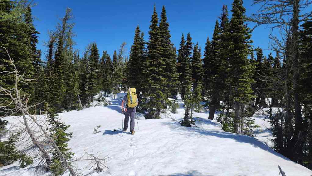
Thankful that the snow was still firm enough to walk on.

Another look back.
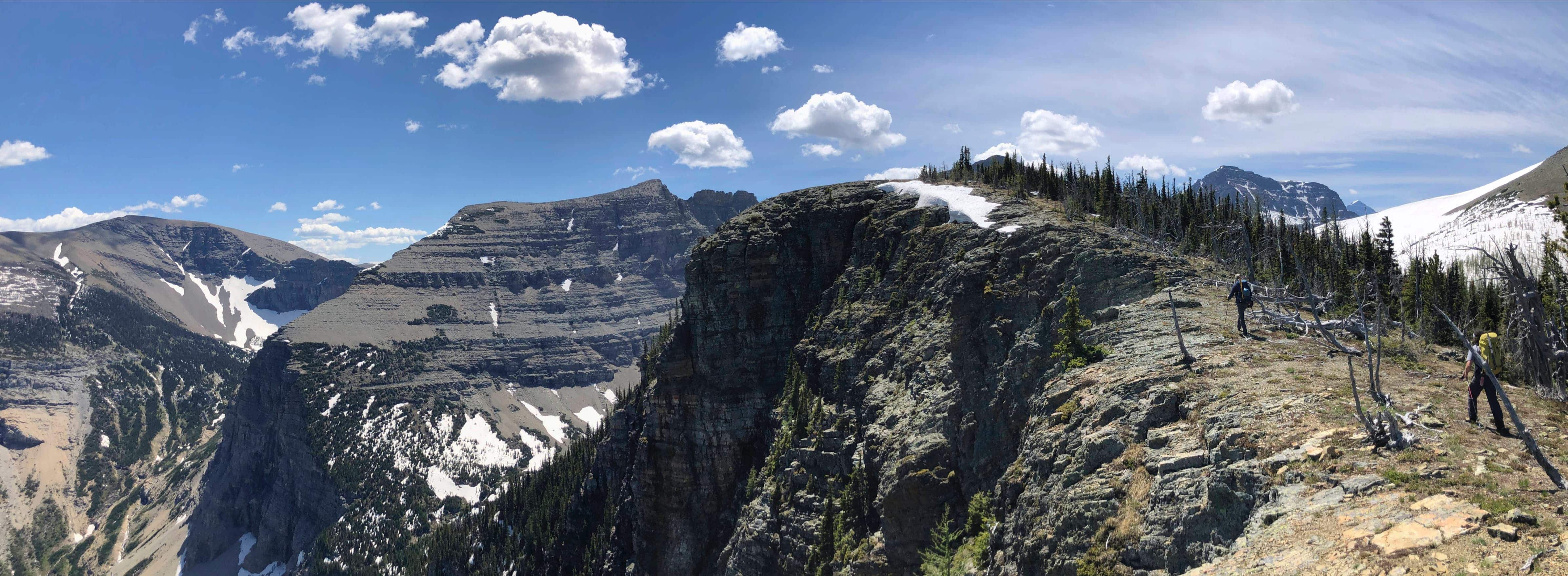
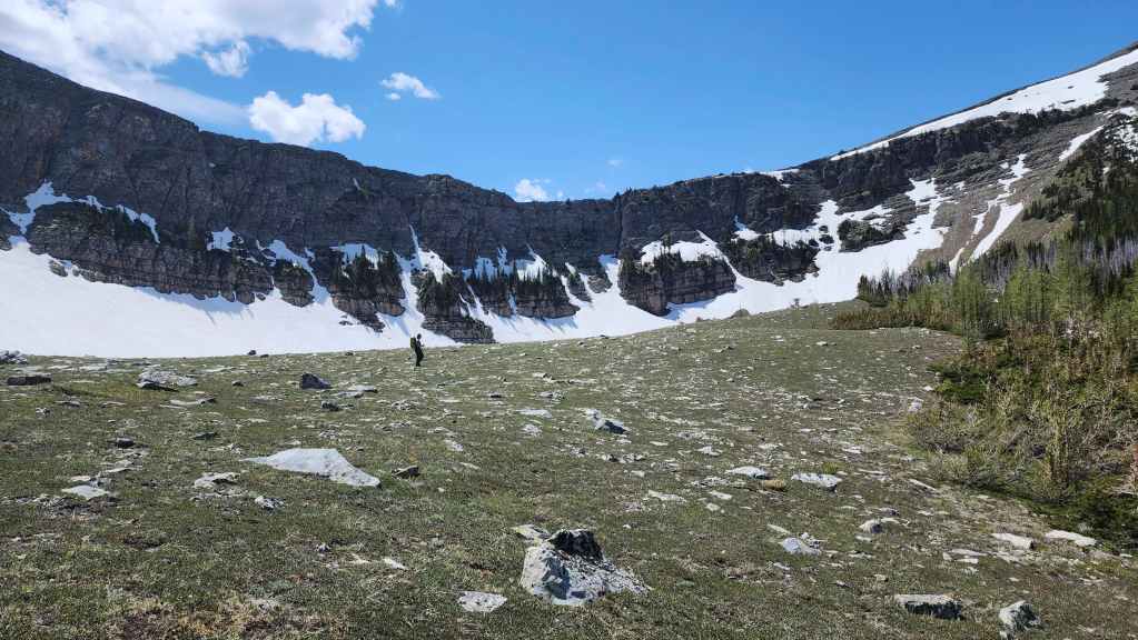
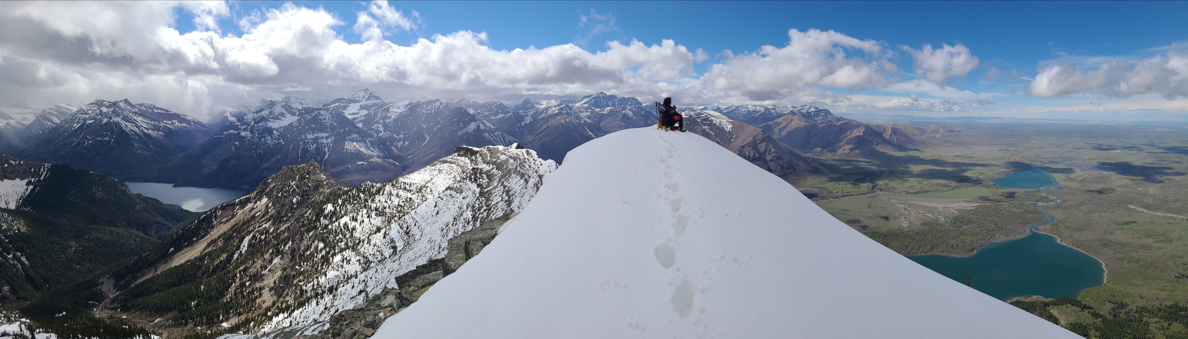
Arriving on the summit of Maisstooinastáko (“Petit Vimy”) (2219 m)
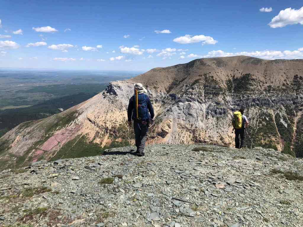
Right away, we could see the views were going to be good. (Photo by Andrew Nugara)

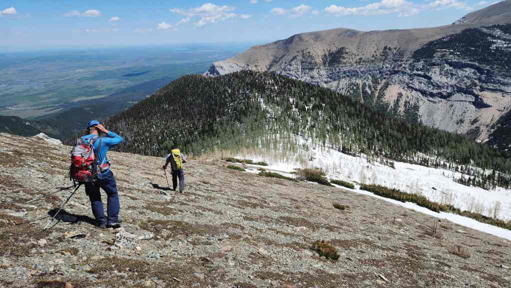
Brad scans for Sullivan Falls.
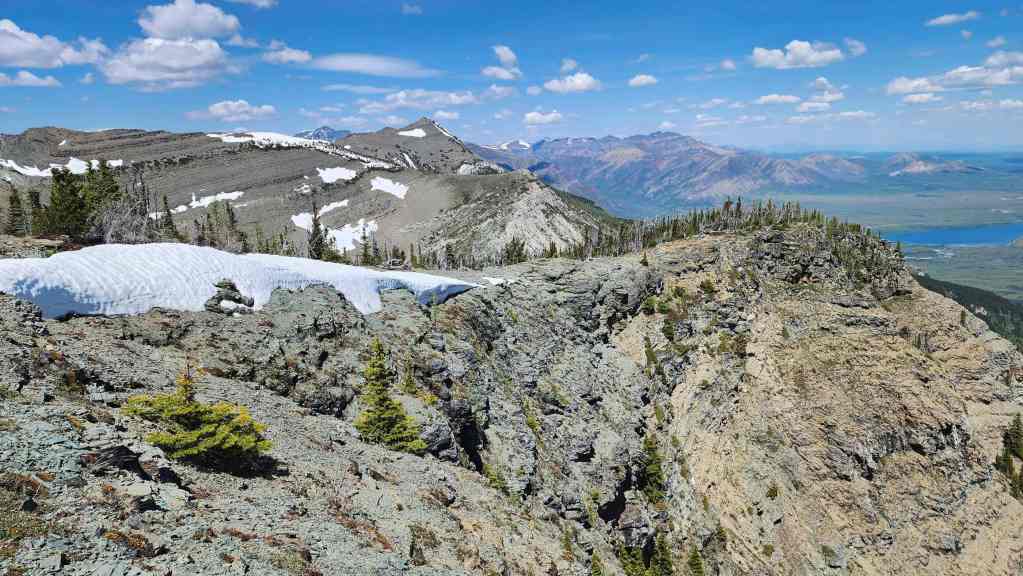
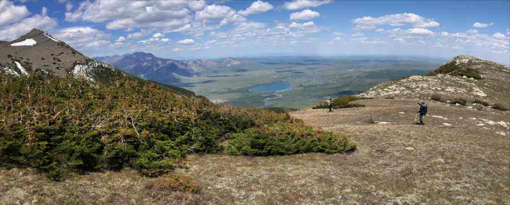
A pano to the west…

And then to the north.

Looking east…
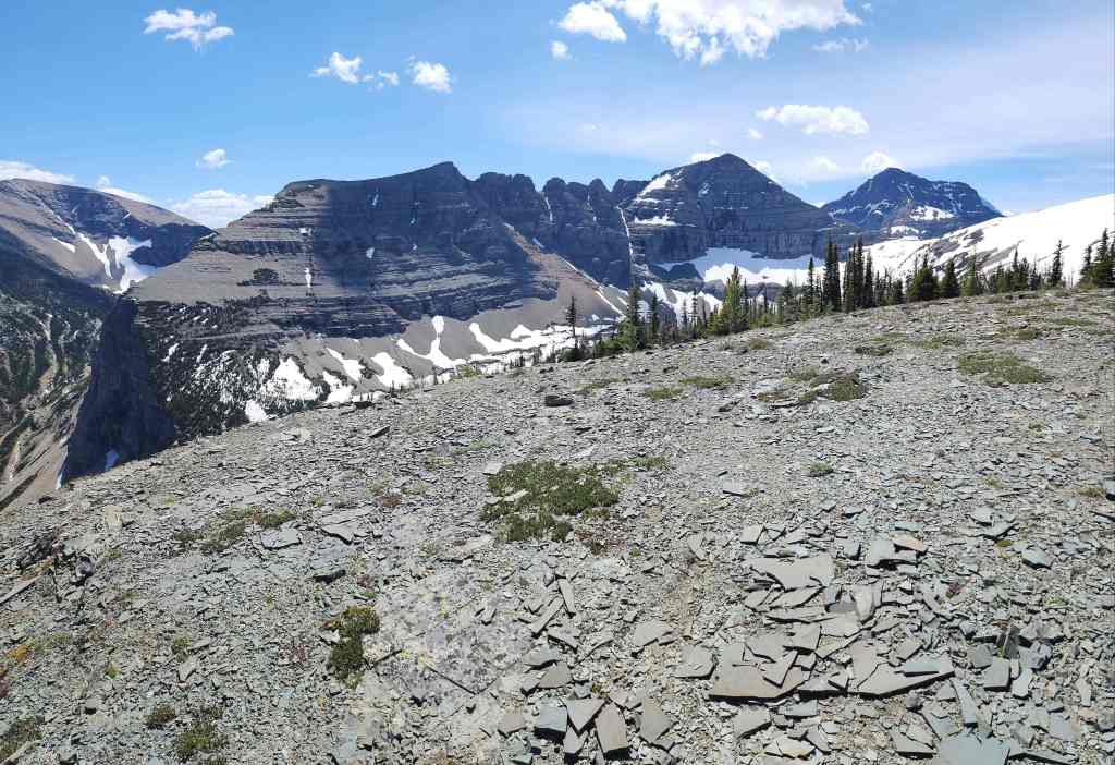
And now south.

Finally, a look to the southwest.

We will soon head over to the slightly lower point on the left and it’s from here, that we could see the lower section of Sullivan Falls.
These cliffs are impressive! (Photo by Brad Wolcott)

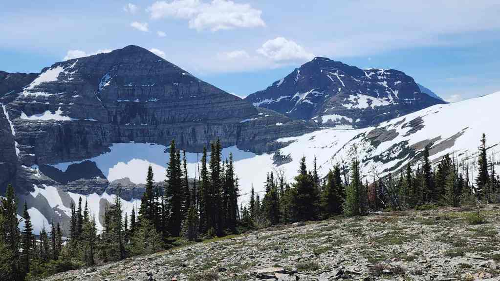
Looking over to Istiikoiistakoo (Sofa Mountain).
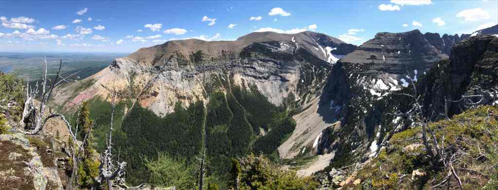
Another pano to the east. (Photo by Andy Nugara)

Gazing towards Saakiimaapi / Maisstooinastáko (Vimy Peak). The small ridge and high point at middle distance is where we started earlier in the day.
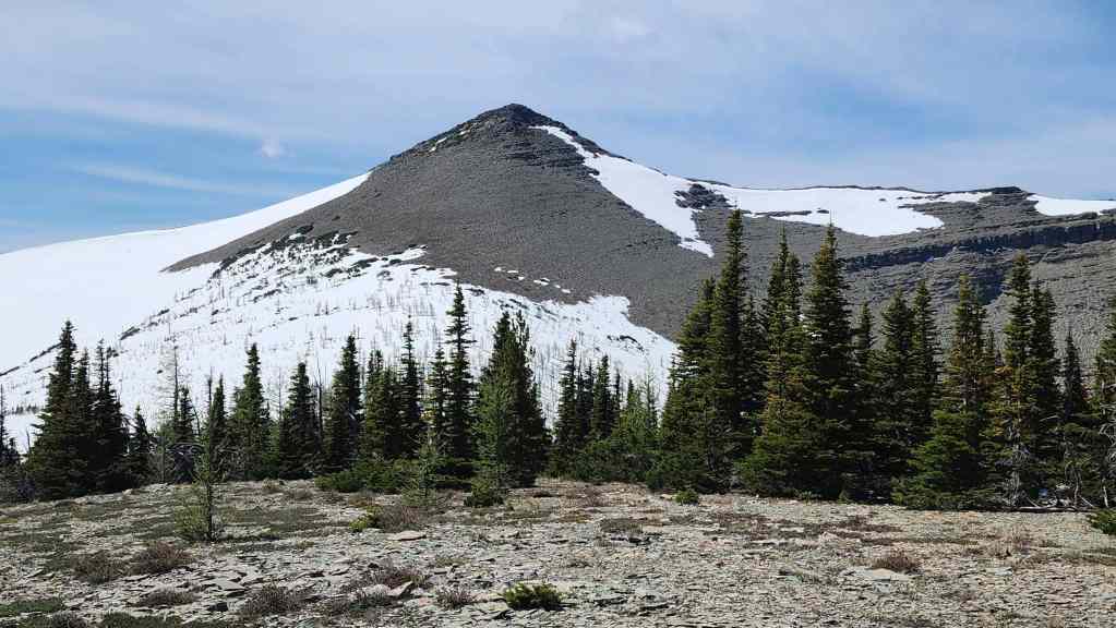
On the left is the unnamed peak that is higher than Arras which I think could be nicknamed, Maisstooinastáko (“Hill 145”). To the left of centre is “Crypt Peak”.

Yet another pano. 🙂 (Photo by Andrew Nugara)

Heading over to the lower point.

More of the same. (Photo by Mr. Nugs)

There it is! The lower section of Sullivan Falls.
A closer look at the falls.

The view back to the summit.

It was such a gorgeous day! (Photo by Andrew Nugara)

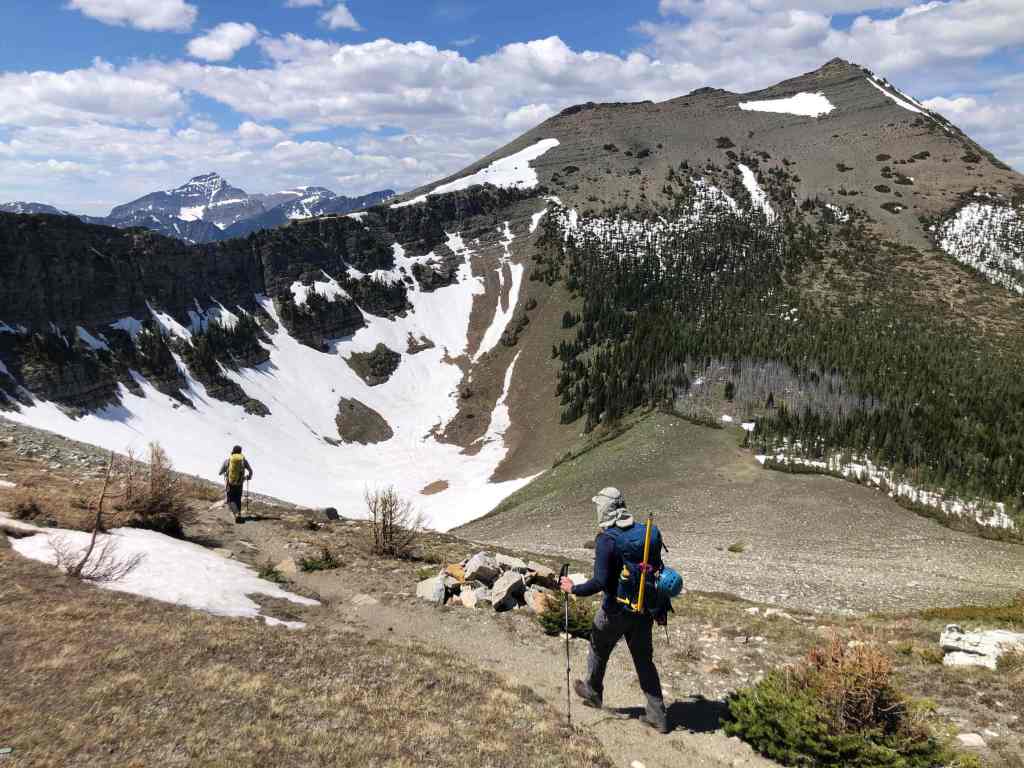
Instead of heading back up Arras and then back along the ridge…
We opted to traverse beneath the main ridge… (Photo by Andrew Nugara)
This section of snow was steeper than it looked.

We didn’t lose much elevation between here and the shoulder on the far right.

I lead the way across a steep section of snow. (Photo by Andy Nugara)

My view back.
As far as side-sloping goes, the rest of the way would end up being quite benign.

Glancing over to the summit of “Petit Vimy”.
We’d traverse just above the grey band of rock which took us directly onto the shoulder.

Lots of grizzly diggings.
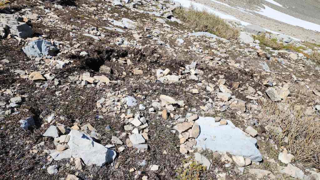
More of the same.

Above the rock band and just prior to finding a goat trail. (Photo by Andrew Nugara)

Almost there!

It took us a little over an hour to traverse from the col between Maisstooinastáko (Arras) and Maisstooinastáko (“Petit Vimy”) to the shoulder.
Arriving on the shoulder. (Photo by Andrew Nugara)

One last look at Maisstooinastáko (“Petit Vimy”) and Maisstooinastáko (Arras Peak).
One more look to the north. (Photo by Andrew Nugara)
Heading down the trail. (Photo by Mr. Nugs)
Looking forward to an easy hike back to our bikes.
Brad is dwarfed by the wall.
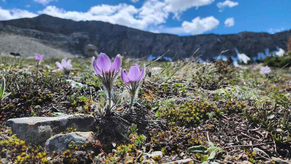
Emerging pasqueflowers a.k.a prairie crocus.
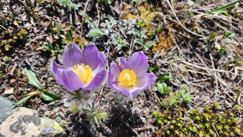
A closer look.

It’s all downhill from here… (Photo by Andy Nugara)

Glancing back.

Even though it was a Saturday, we didn’t encounter anyone on the trail; either in the morning or in the afternoon.

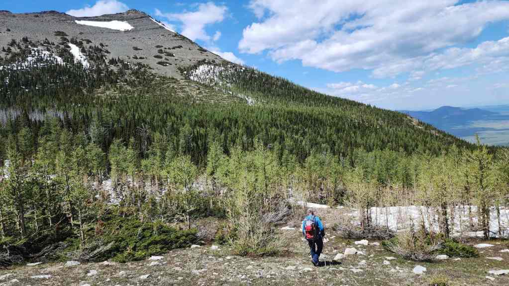
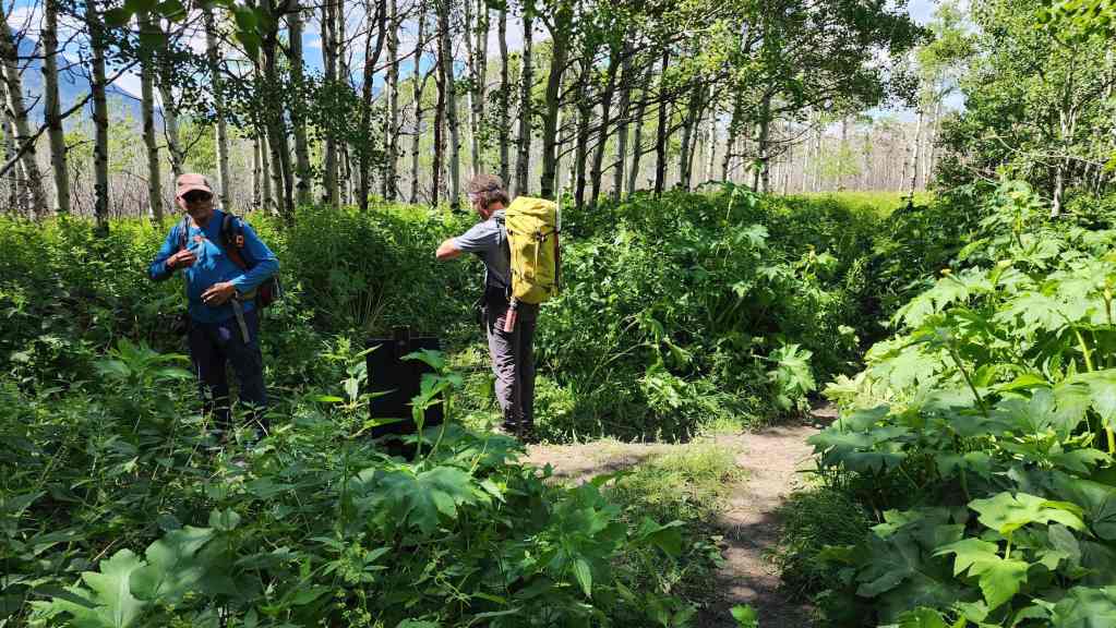
The scenic lower part of the trail.

Again, it was an amazing weather day. 🙂 (Photo by Andrew Nugara)

Looking back at Saakiimaapi / Maisstooinastáko (Vimy Peak) (right) and Oomhkataiyoo (Lion’s Head) (left).
Back at our bikes.

The mighty e-bike haas an e-mergency. 😂 Thankfully, it was quickly fixed.
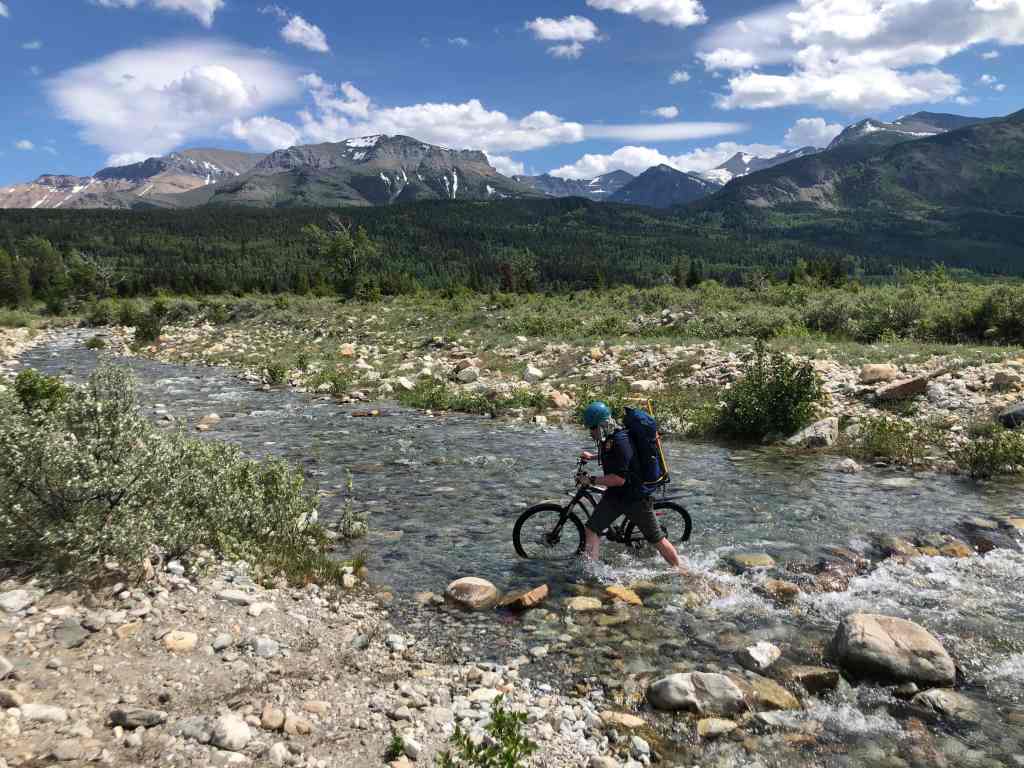
Crossing Sofa Creek. Maisstooinastáko (“Petit Vimy”) can be seen directly above me. (Photo by Mr. E. Bikeman).
One final look at Maisstooinastáko (“Petit Vimy”) and Maisstooinastáko (Arras Peak) from the trailhead on the Chief Mountain Highway. Even though I wasn’t feeling great, this was still a super fun trip thanks to my awesome companions. Thanks Brad and Andy! 🙂


Leave a Reply