⚠️ Hiking and scrambling are inherently dangerous activities. Please read my Disclaimer. ⚠️
What a fabulous snowshoe! Though we chose Pincher Ridge at the last minute, it ended up being the perfect choice for the day. A spring snowstorm two days prior had transformed the entire front range of the Tatsiki-Miistáki (Castle) into a winter wonderland and with nothing but blue sky in the forecast, I was looking forward to another mountain adventure.
However, in typical southern Alberta fashion, with the blue sky came the wind, and so, after picking Andy up at his cabin, we discussed our options as we drove toward the front range peaks. Deciding that it would be best to stick to a sheltered approach, but also wanting to gain some decent elevation, we ended up choosing to repeat our January 2024 approach to the “The Horn”. This route follows the great trail that runs through the valley underneath the north side of Pincher Ridge; giving us three good options for the day: “The Horn”; Pincher Ridge’s Centre Peak; and Pincher Ridge itself.
Unsure which option we’d choose, we knew from the start that this would be a snowshoe given the amount of snow that had fallen. Indeed, by the time we reached the ascent slope for “The Horn” roughly 4 km from the trailhead, we were knackered. Not having Brad with us, meant that we actually had to do the trail breaking ourselves and we weren’t used this. 😂
However, after eating a quick lunch in the shelter of a large outcrop, we regained our energy and began our ascent of the drainage, bypassing the small frozen waterfall by scrambling up to climber’s left. Once above, we continued along the drainage until we were at the point where we had to choose what summit we wanted to do.
Initially, we’d thought about Pincher’s Centre Peak, but knowing that the fresh snow had no ability to support the required traverse beneath the summit, we concluded that Pincher Ridge would be our objective. No offence to “The Horn”, but on a day with bright blue skies and crisp white snow, the range of scenery offered by Pincher would far surpass that of its respectable outlier.
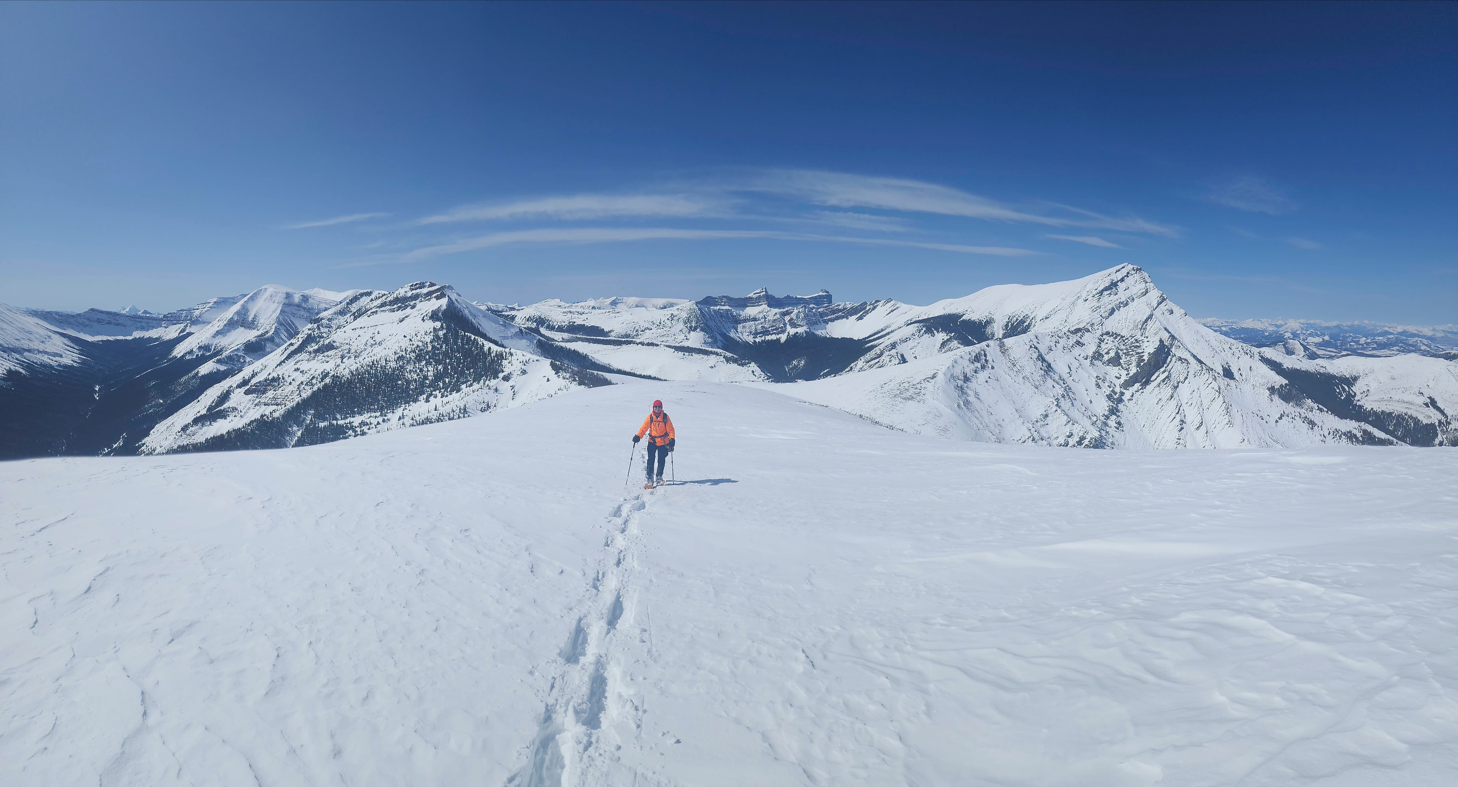
Perhaps the most surprising outcome of our ascent, was that we needed to keep our snowshoes on for the duration. I’d thought for sure that the warm temperatures combined with the wind would have cleared off large sections of snow along the ridge – but it hadn’t. In fact, it was only because of a large boulder field on the summit ridge, that we removed our snowshoes. Navigating the pitfalls hidden beneath the snow was awkward with snowshoes and after falling and bashing my shin, we decided it was time to leave them behind. The remaining few metres to the summit were much quicker with only boots and soon we were enjoying the spectacular winter views.
I definitely was not expecting such a fantastic snowshoe on a front range peak and can only say, that our timing was perfect. Even though Pincher is one of the most colourful mountains in all of southwestern Alberta, experiencing it covered in snow was an equally scenic experience. Thanks again to Andy for a great day of teamwork! 🙂
Be sure to read Andy’s excellent trip report! [link coming]
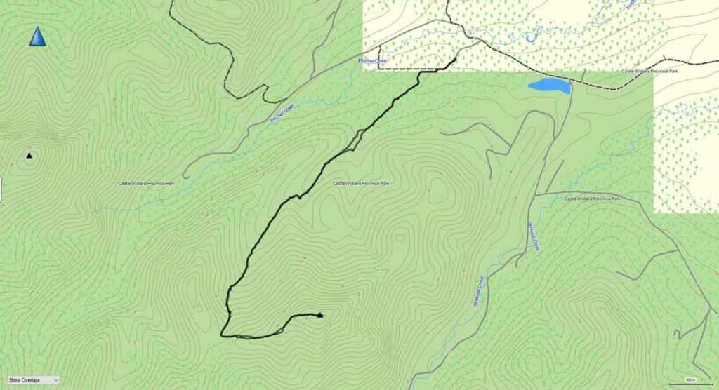
To get to Pincher Ridge we drove north from Waterton National Park on Highway 6 until we reached the Shell Waterton Complex Road (Township Rd. 43A). We then turned onto the road and drove west for ~9.1 km until we came to a junction with a gravel road near to the entrance of the plant. Here, we turned left and onto the gravel road where we continued for ~4.8 km until we came to a junction with a gas road on our left, just past Butcher Lake. We then turned left and followed the road upwards for ~300 m until we arrived at a well site. Here is where we parked and where the trailhead began.
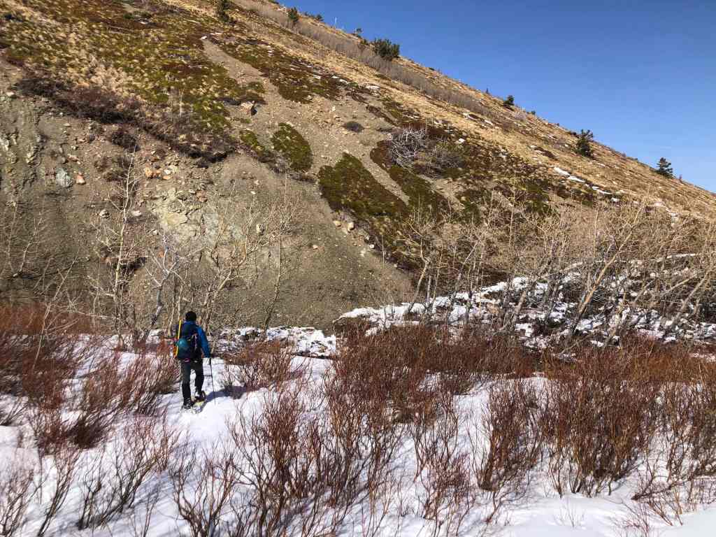
A short walk from the trailhead brought us to a cutline and a clear path. We followed this to our right and arrived at two barbed-wire fence gates. As the gate leading into the open pasture is private land, we used the gate on the left and then followed the fence line for ~50 m until the trail turned left and made its way through the trees. After emerging onto a small ridge, we continued to follow the trail for ~4.3 km (478 m elevation gain) until we came to the base of a frozen waterfall. This marks the start of the steepest section of the drainage.
We bypassed the waterfall to climber’s left and continued up the drainage for another ~300 m (111 m elevation gain). We then gained the main ridge by heading up the slope to climber’s left for another ~400 m (110 m elevation gain). Once on the main ridge it was an enjoyable snowshoe of 900 m (194 m elevation gain) to reach the summit. After enjoying the views, we returned the same way.
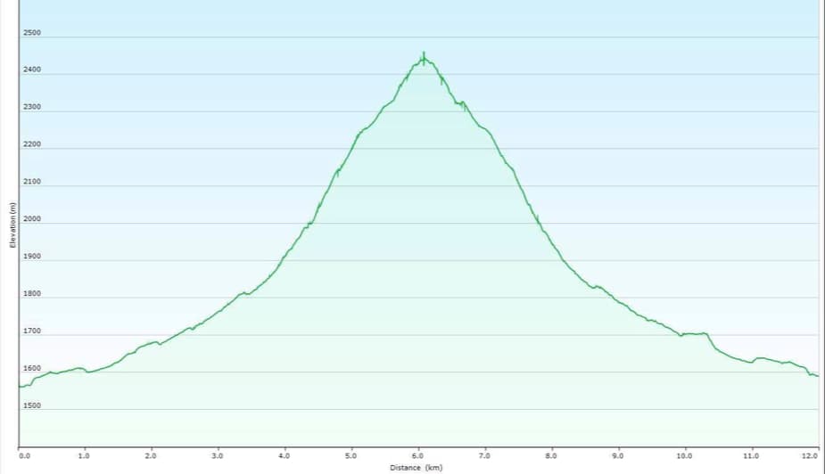
Our total roundtrip distance was 12 km with a total elevation gain of 946 m. Our total roundtrip time was 7 hours and 5 minutes. For reference, from my truck to the summit, it required ~6 km (893 m elevation gain) of snowshoeing over a period of 4 hours and 40 minutes.

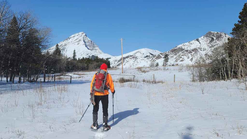
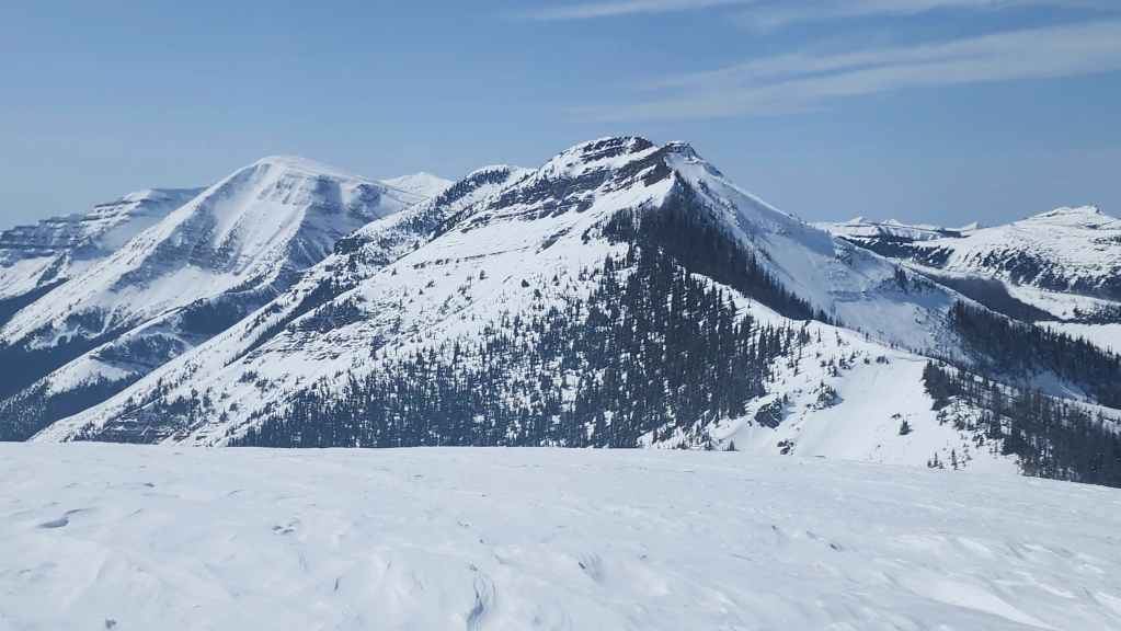
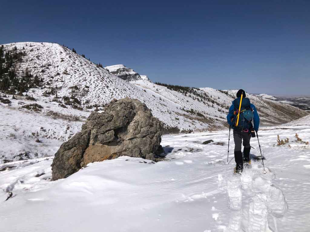
Gearing up at the gas well. On the left is “Cinch Hill” with Pincher Ridge in the centre, and “The Horn” on the right.
A recent snowstorm had turned the area into a winter wonderland.
Arriving at the two gates. The land in front of Andrew is private property, but a second gate – located to the left of the main gate – leads onto public land and the trail.
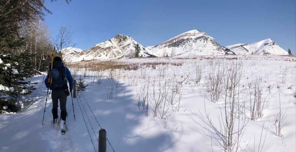
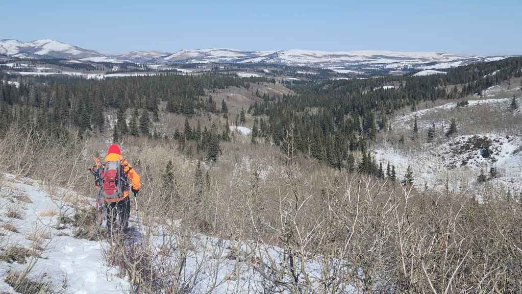
The trail follows the fence for ~50 m or so past the gate before turning into the forest on the left. In front of me is “Prairie Storm” (far left), followed by “Prairie Sky” (left), “Prairie Fire” (right of centre), and Prairie Bluff (far right). (Photo by Andrew Nugara)
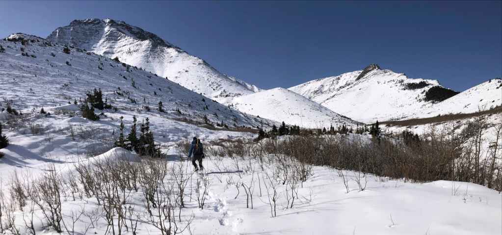
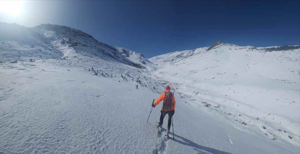
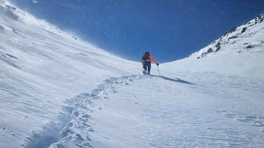
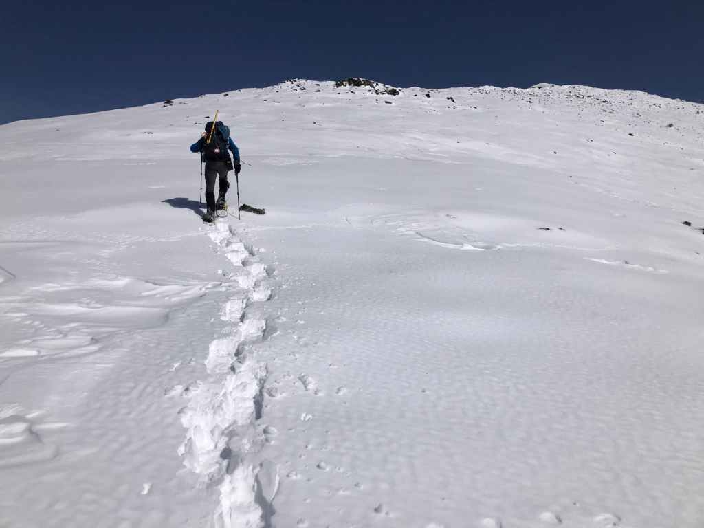
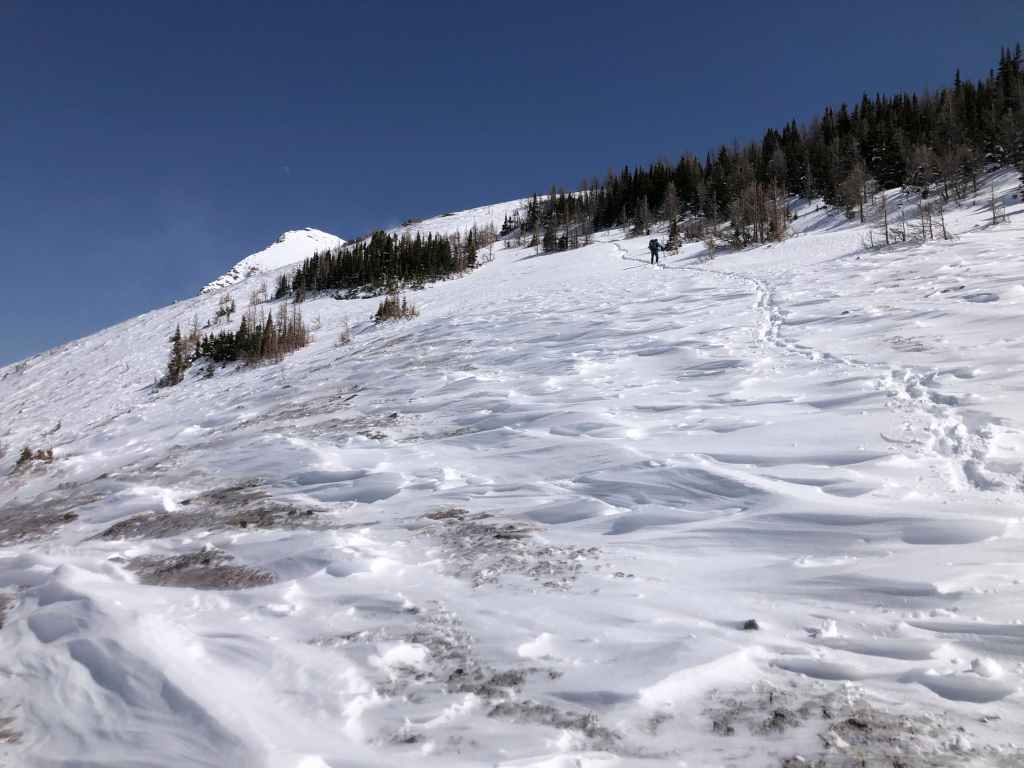
The snow made it hard to follow the trail, but we knew that if we kept heading straight, we’d eventually find it along the edge of the ridge.
On the ridge and back on the trail.

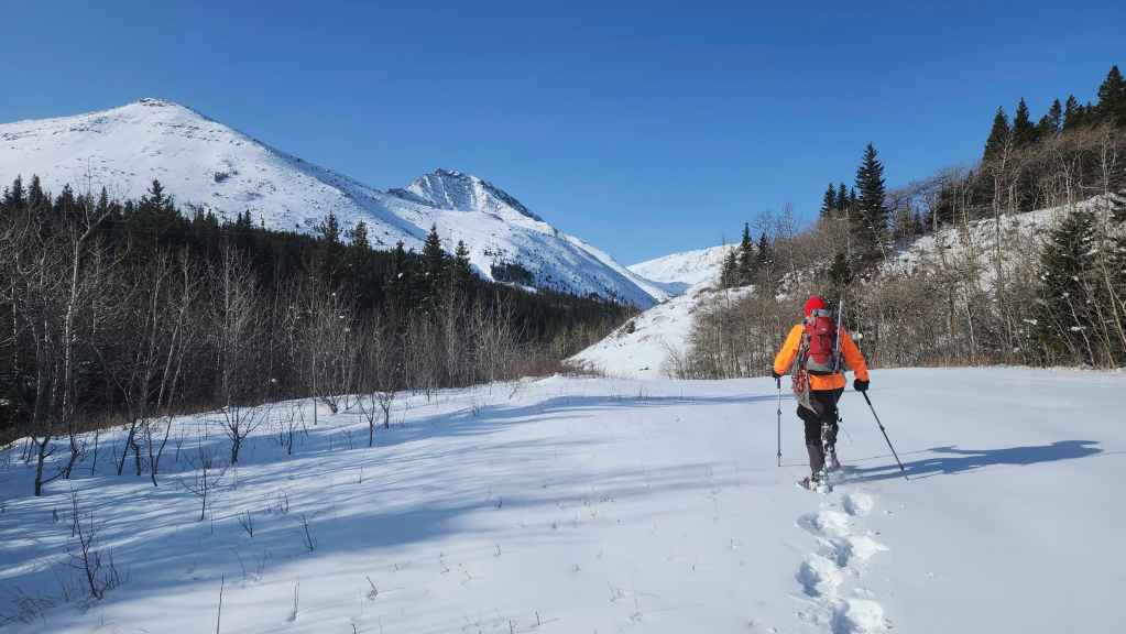
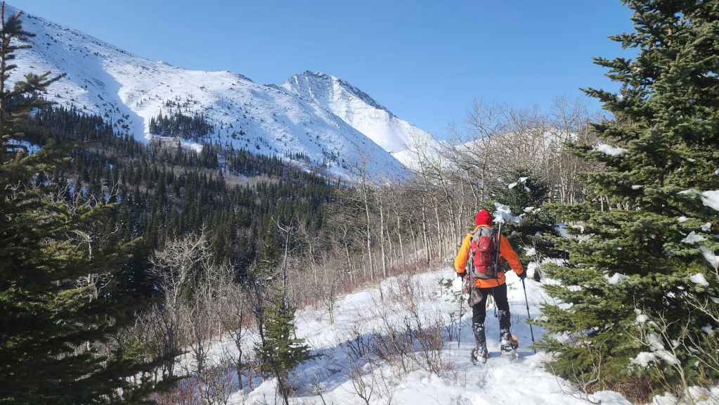
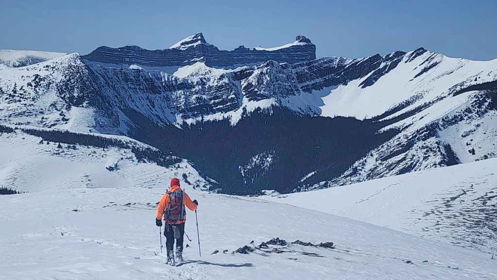
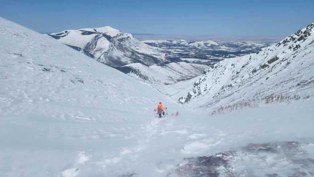
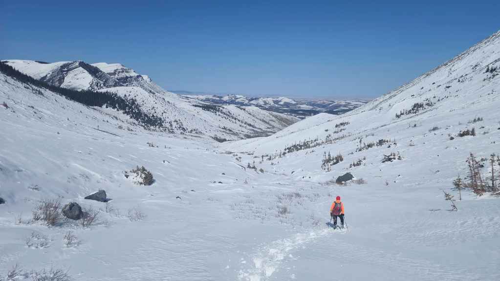
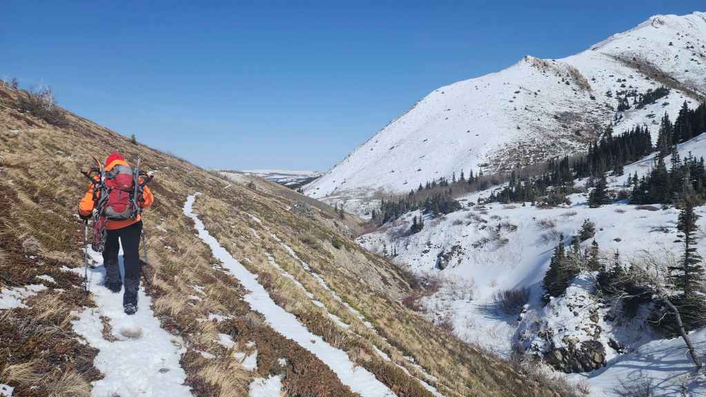
Our first good look at our route up the valley.
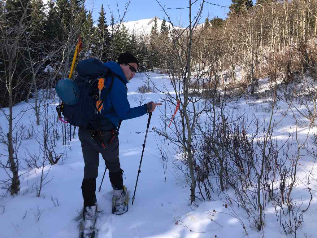
Ooooh! Flagging tape! We’re definitely on the trail. 😂 (Photo by Andrew Nugara)

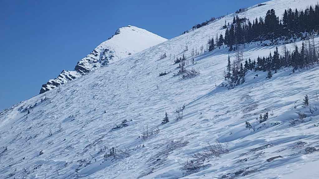
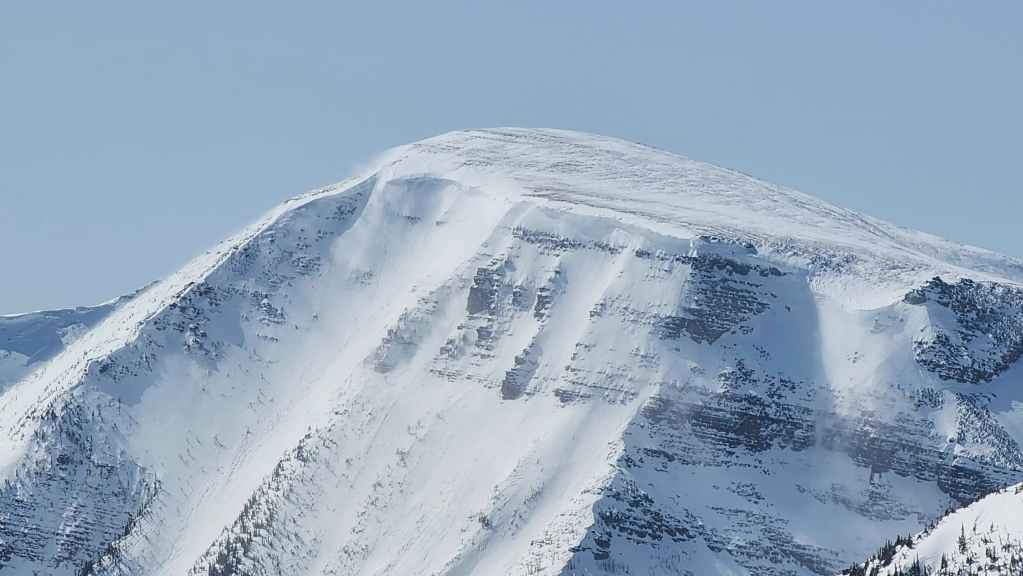
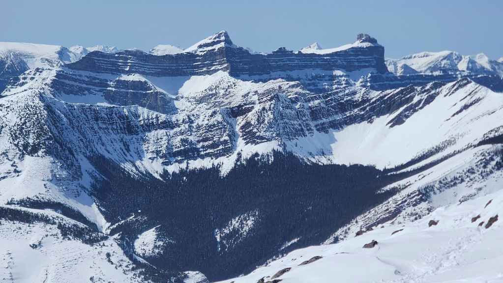
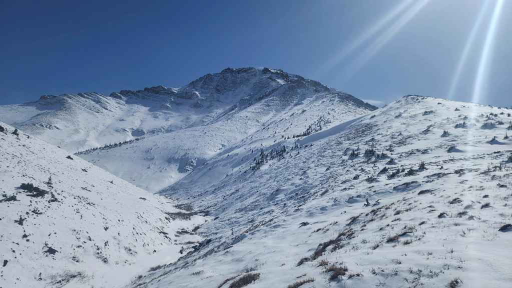
The north face of Pincher Ridge. (Photo by Andrew Nugara)
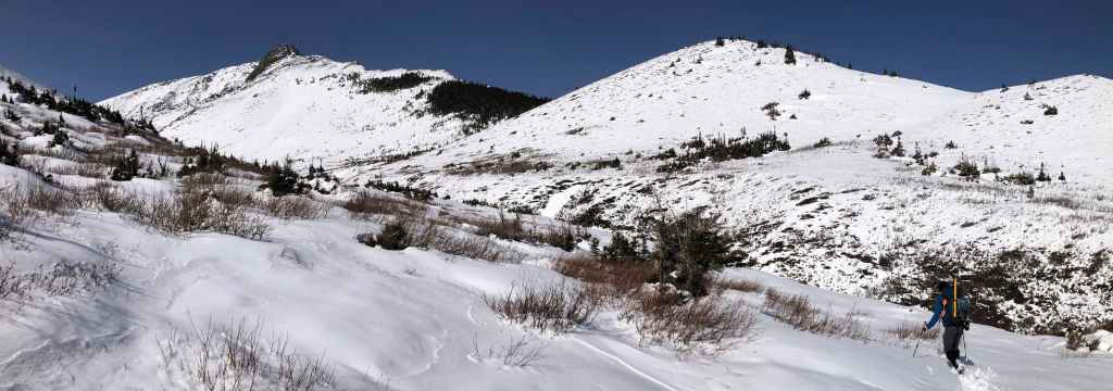
Back on an open section of ridge. (Photo by Andrew Nugara)

By the end of of the day, the snow on the slope in front of me, will have disappeared.
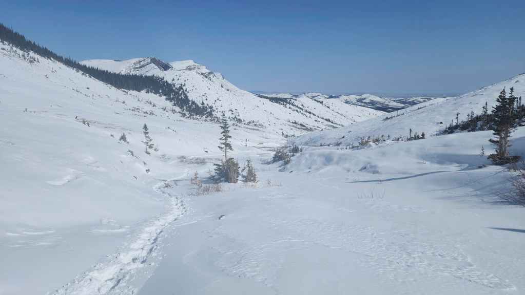
The trail descends to the creek and continues on the other side.
On the other side of the creek with a clear view along the valley. ‘The Horn” is on the right. (Photo by Andrew Nugara)
Looking at the ridge that leads to “The Horn” (left). (Photo by Andrew Nugara)
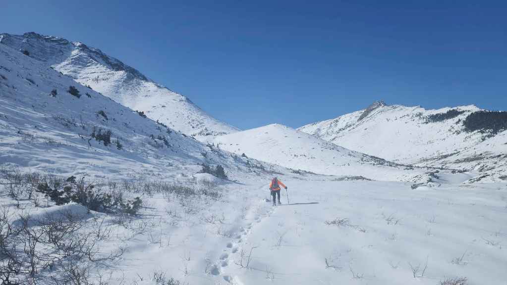
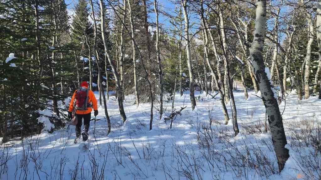
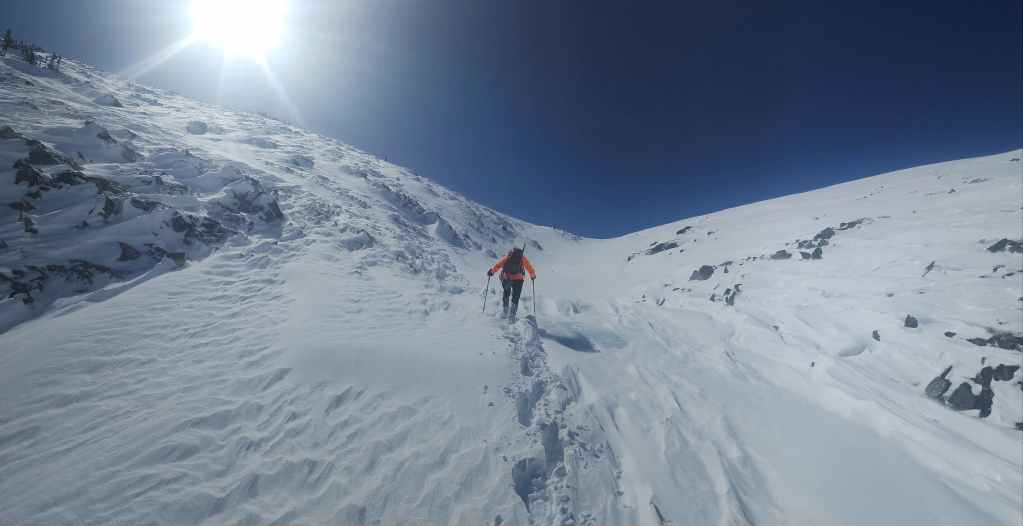
Still following the trail.
Looking back.
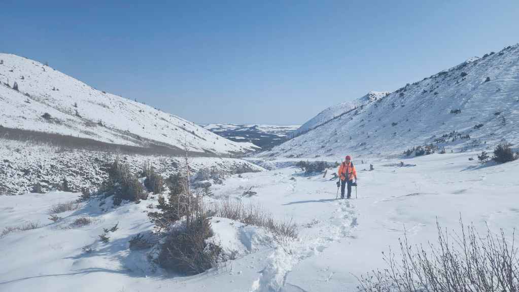
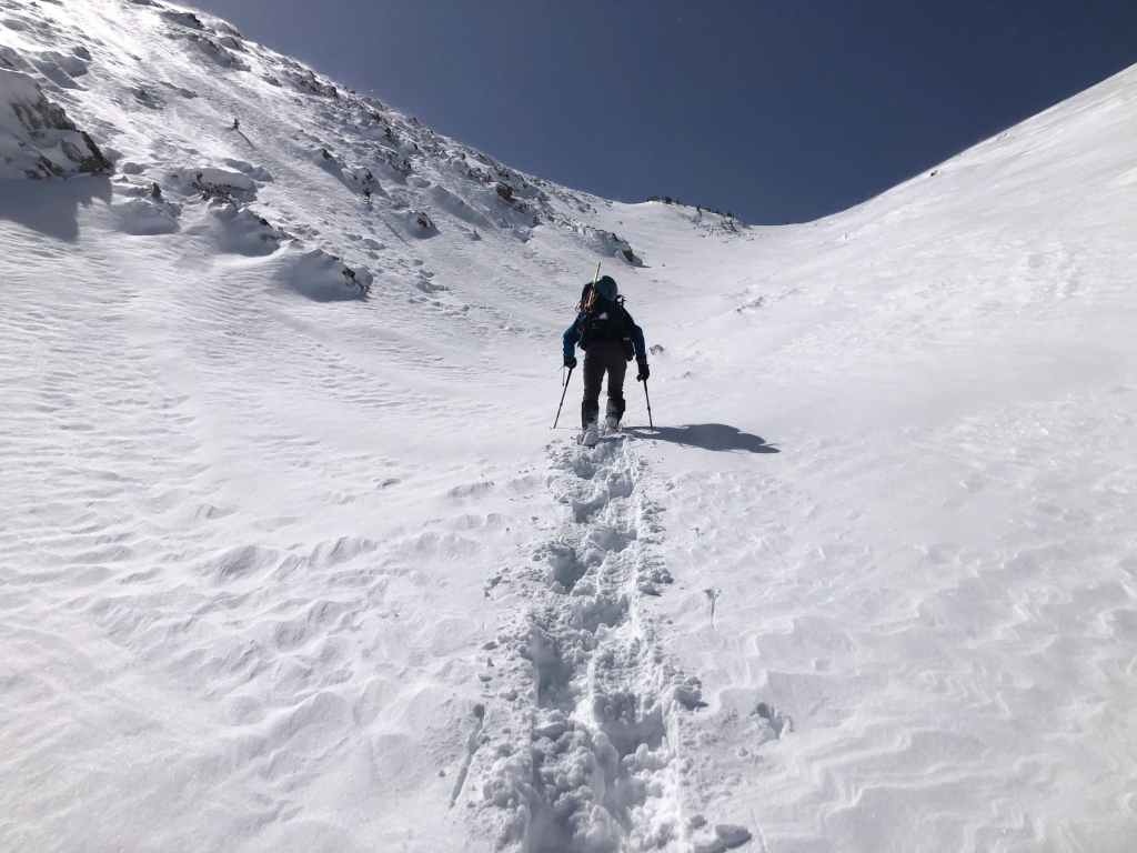
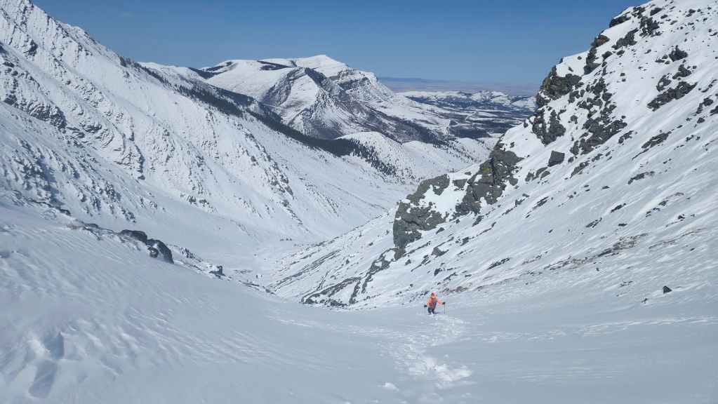
Nearing the upper reaches of the drainage.
Another look back.
Boy, did we ever miss Brad’s insane trail breaking skills! Having to do it ourselves was a ton of work. 😂 (Photo by Andrew Nugara)
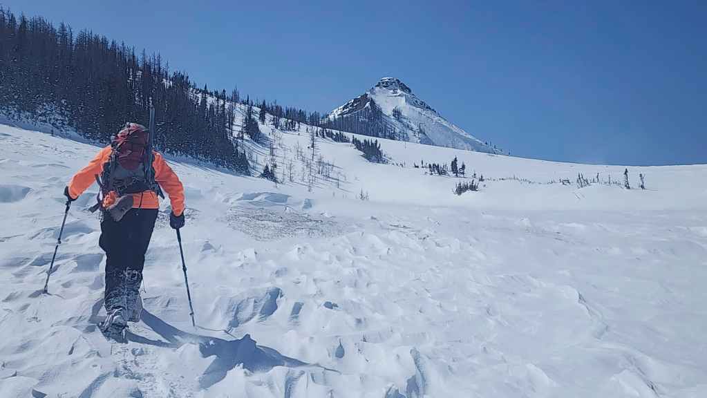
Passing beneath “The Horn” (right). Gondor is calling! (Photo by Andrew Nugara)
Entering the upper section of the drainage.
Andy stops to photograph “The Horn’s” southwest aspect.
We’ll stop for a quick lunch at the rock outcrop in the centre. (Photo by Andrew Nugara)
Approaching the outcrop. (Photo by Andrew Nugara)

Admiring the colourful lichen. (Photo by Andrew Nugara)

Nature’s graffiti. 🙂 (Photo by Andrew Nugara)
Finding renewed energy after lunch, we head towards a small frozen waterfall (left). (Photo by Andrew Nugara)

Spindrift pours over the waterfall. (Photo by Andrew Nugara)
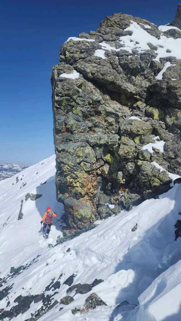
We’ll easily bypass the waterfall by heading up the slope to climber’s left. Anyone else see a face made by the snow on the rock to the left of centre – between the large pinnacle on the left and the small pinnacle in the centre? I think it kind of looks like Mr. Spock…. (Photo by Andrew Nugara)
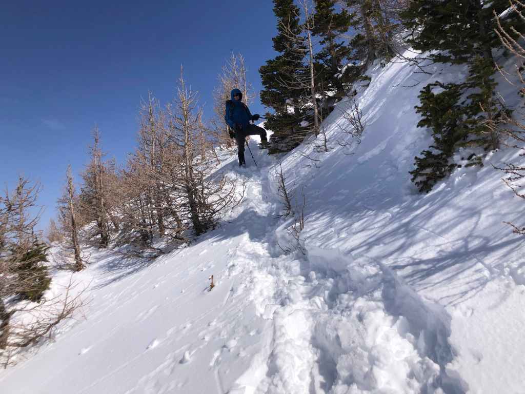
Andy scurries up the bypass route beside the waterfall.

Followed by me. (Photo by Andrew Nugara)

I blend into the rock as we make our way above the waterfall. (Photo by Andrew Nugara)
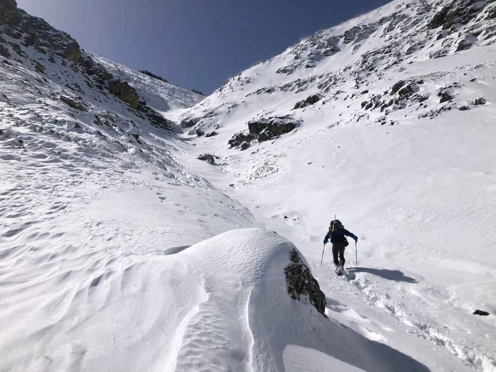
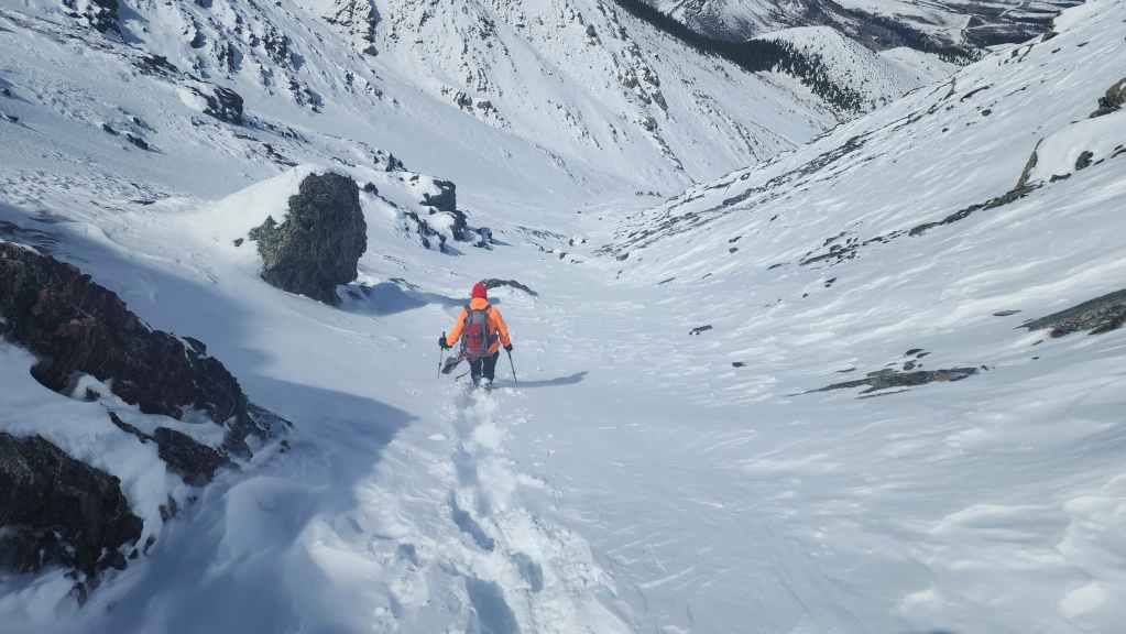
In the drainage above the waterfall.
The spindrift made for some cool photos throughout the day.

Andy’s view back as I pass beside a frozen pool. (Photo by Andrew Nugara)
Entering the upper section of the drainage.
We’ll continue past the small stand of trees in the distant centre. (Photo by Andrew Nugara)

Another look back.
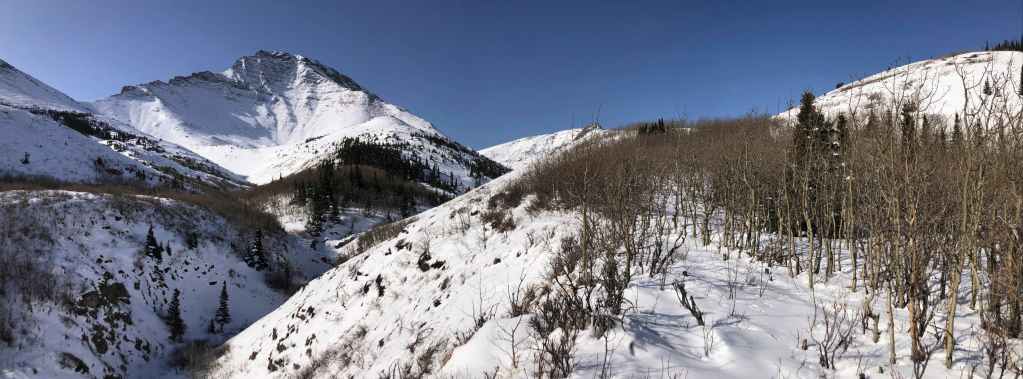
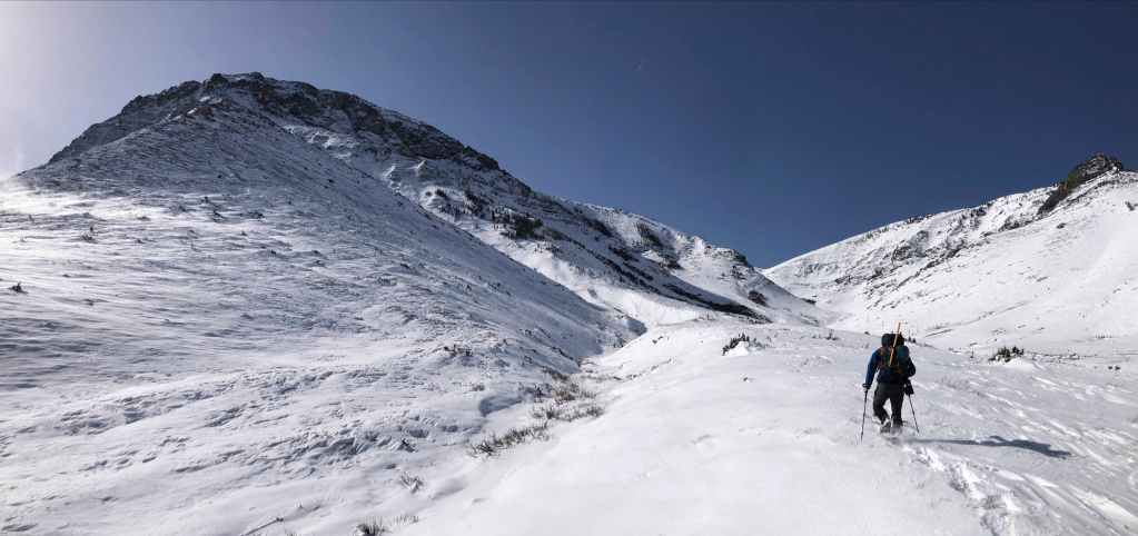
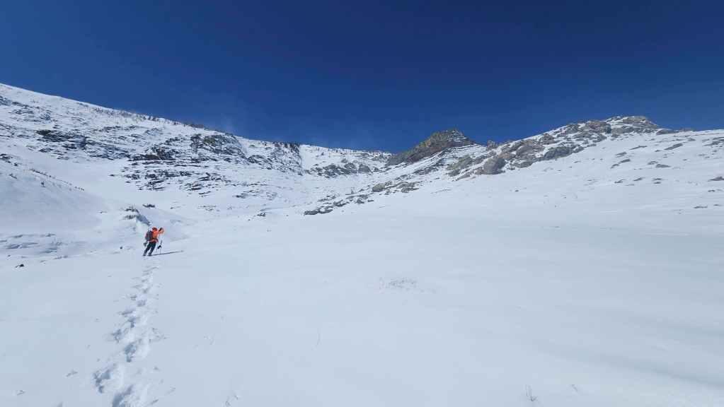
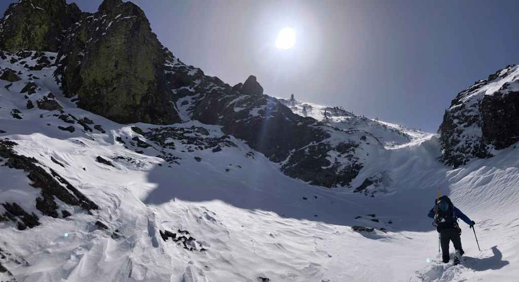
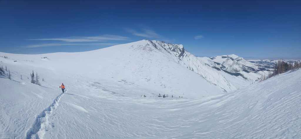
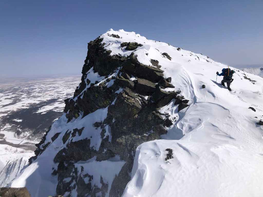
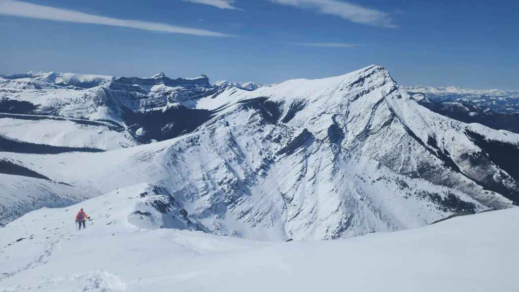
Emerging from the drainage and getting our first good look at Pincher’s Centre Peak.

Though reaching Centre Peak seemed like good option, the consistency of the snow made us think twice about making the required traverse beneath the summit. (Photo by Andrew Nugara)
The summit of Pincher Ridge however, was much more inviting. 🙂

Heading up to the main ridge. (Photo by Andrew Nugara)
Looking back at “The Horn” as we leave the drainage.
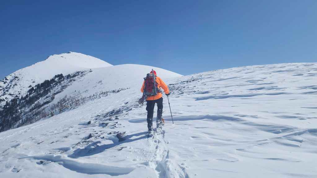
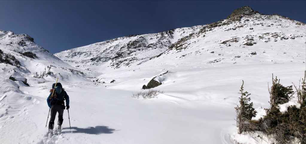
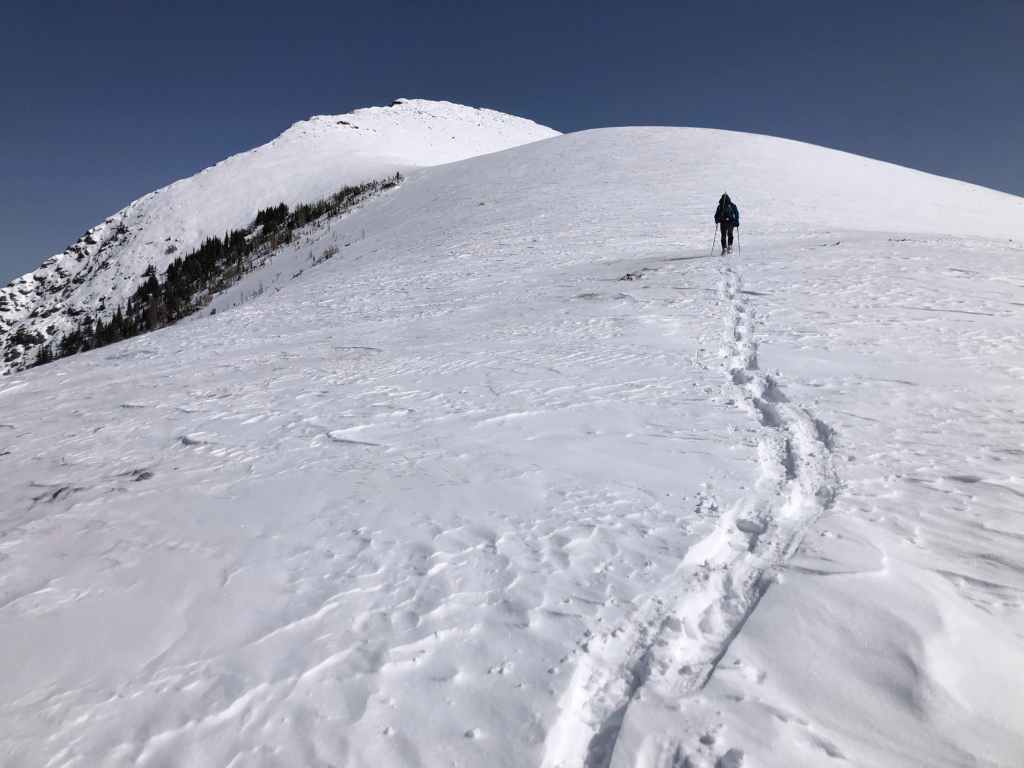
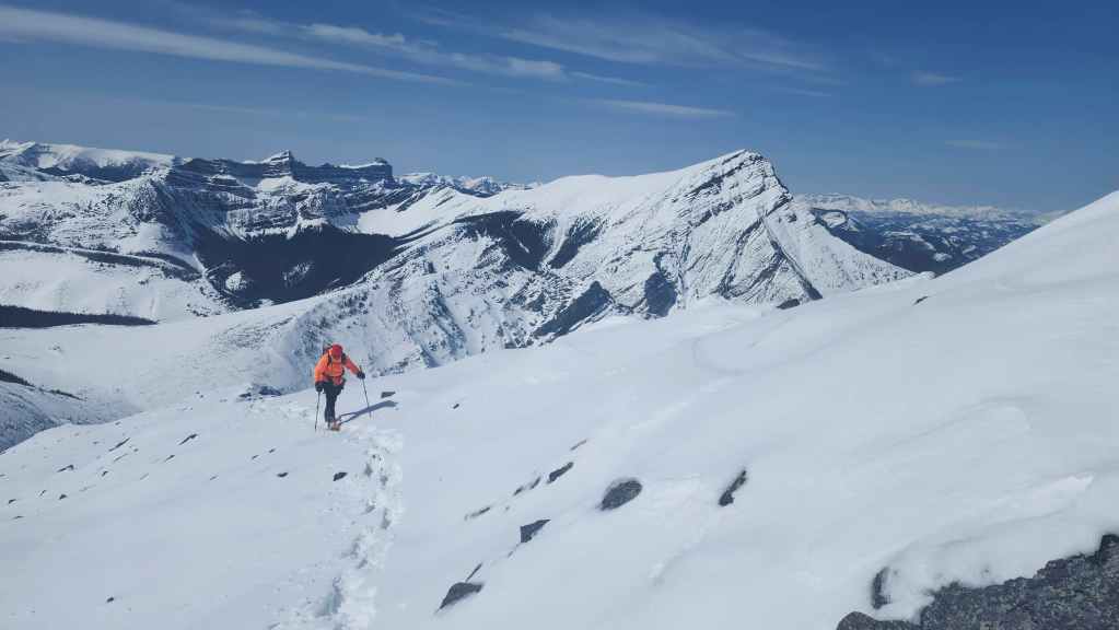
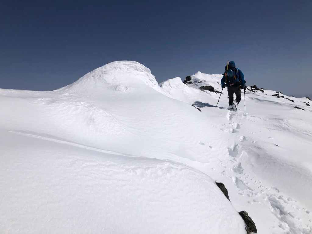
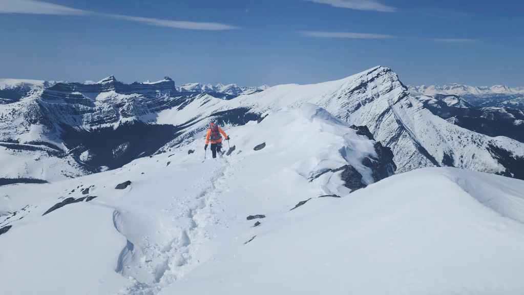
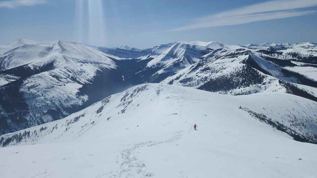
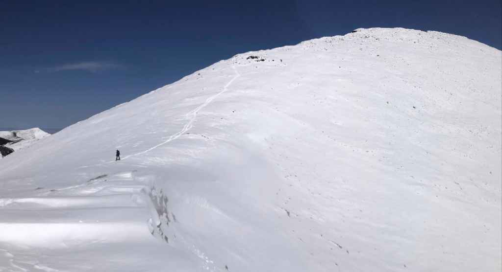
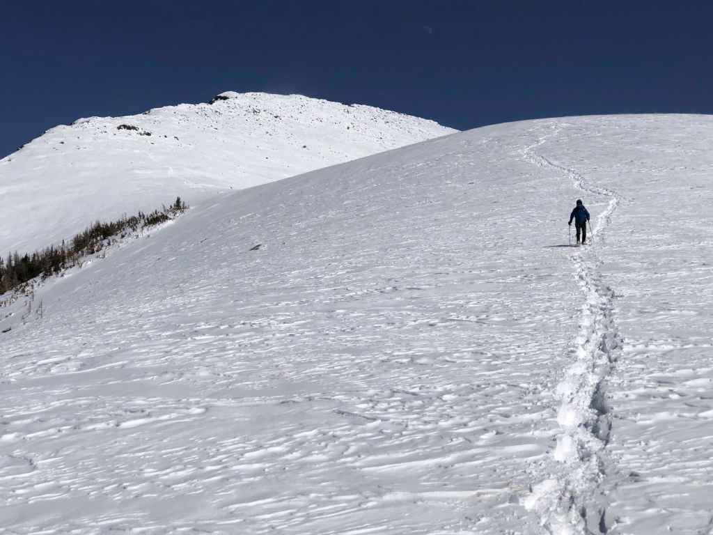
Once on the ridge, the route to the summit is straightforward.
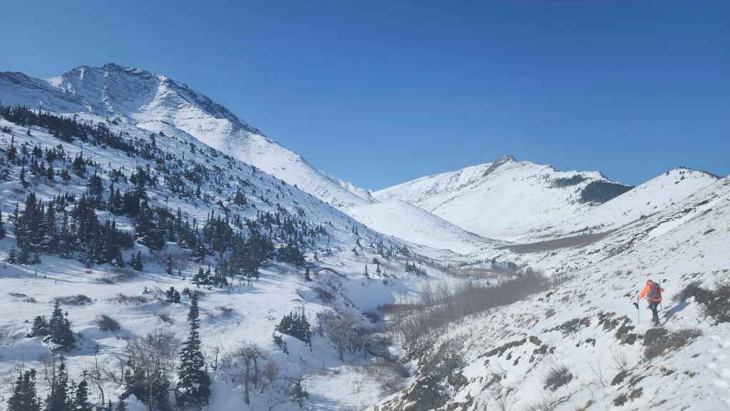
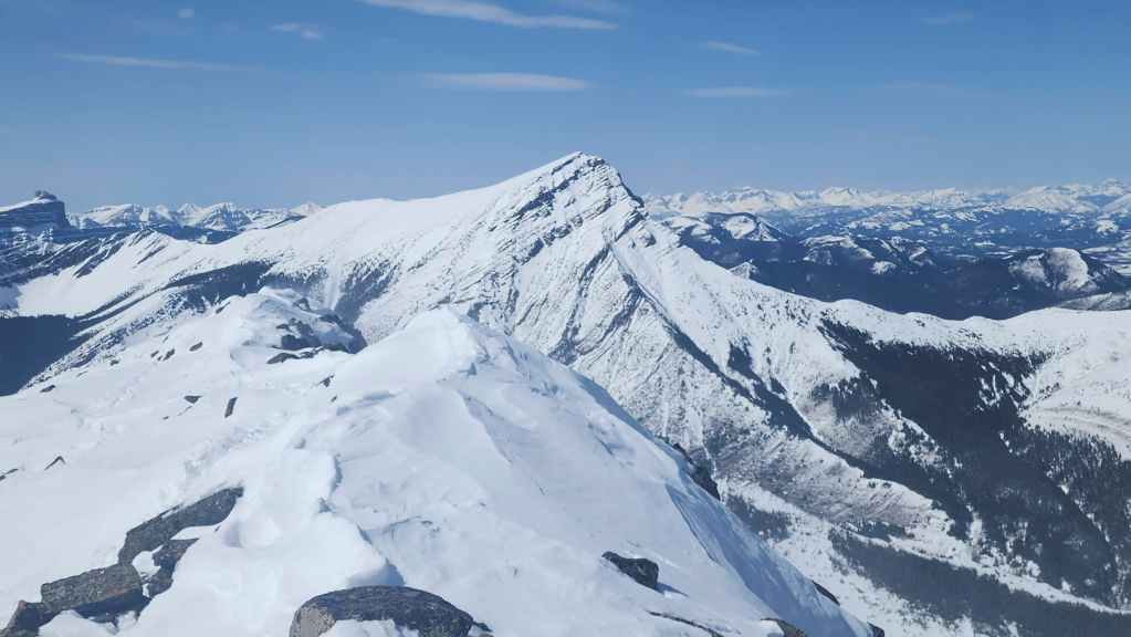
Our first good look at Victoria Peak (right). (Photo by Andrew Nugara)
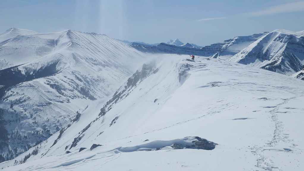
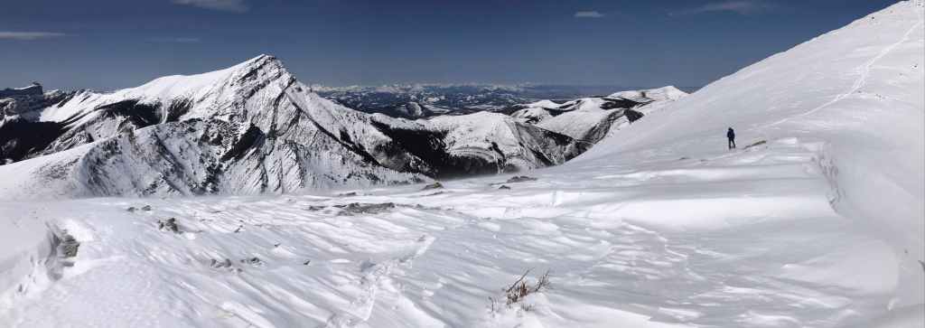
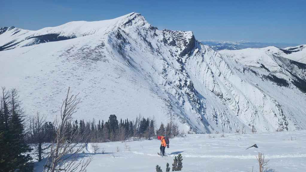
On the ridge and looking towards Pincher’s South Peak (left) and Pincher’s Centre Peak (centre).
Spindrift pours off of Pincher’s South Peak.
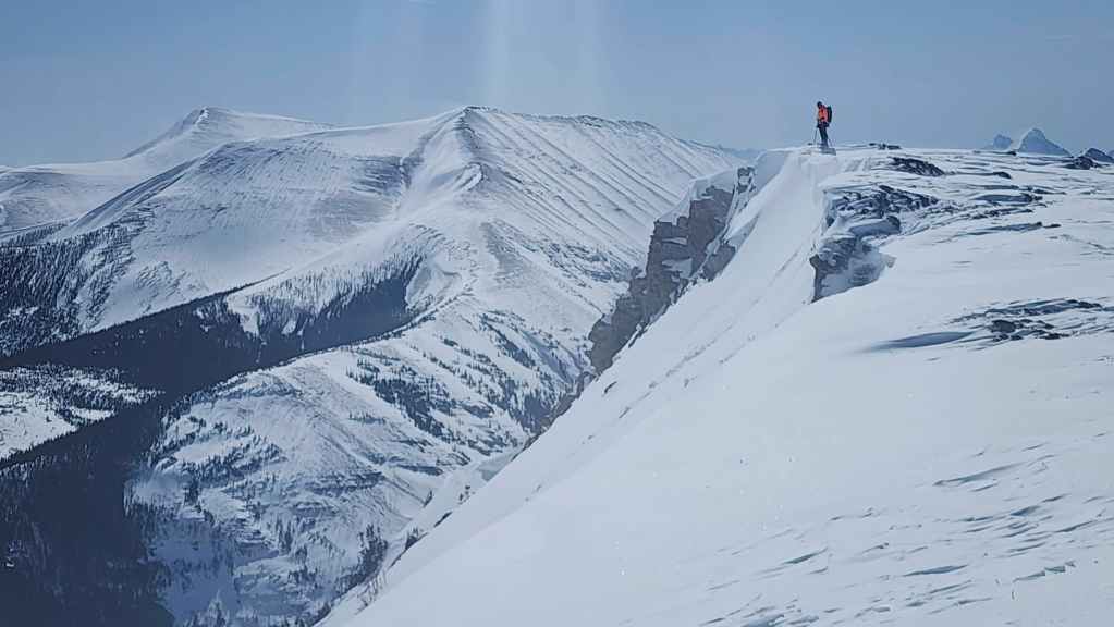
We were genuinely surprised at how much snow there was. I had fully expected to ditch our snowshoes once we’d gained the ridge. (Photo by Andrew Nugara)

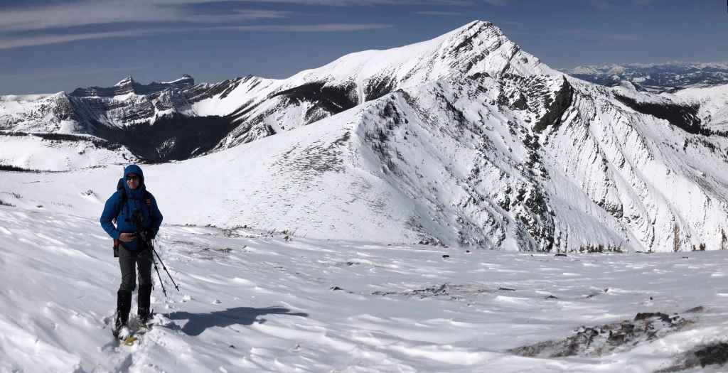
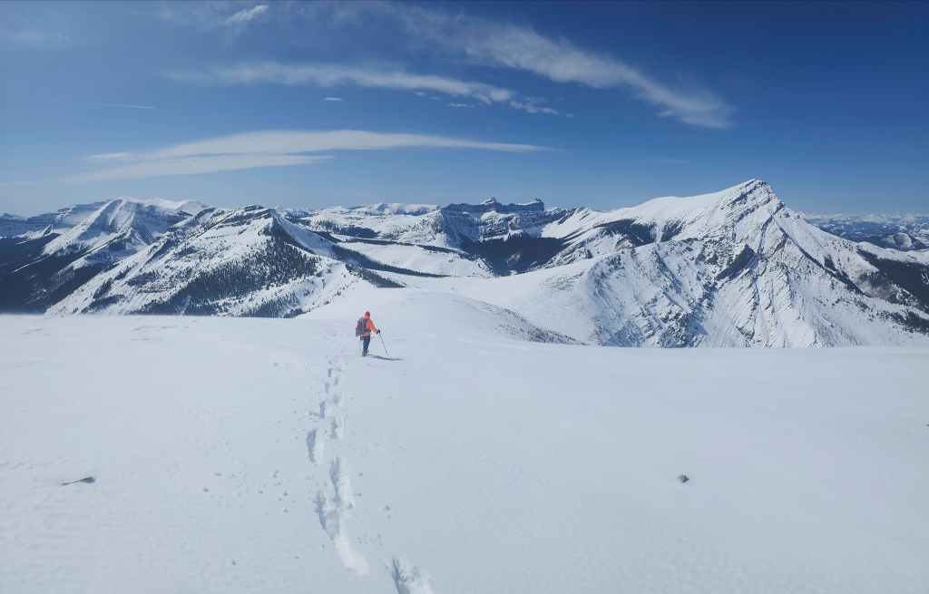
Enjoying great views of Windsor Mountain and Castle Peak.

Despite the wind, it was an amazing day to be on a mountain! 🙂
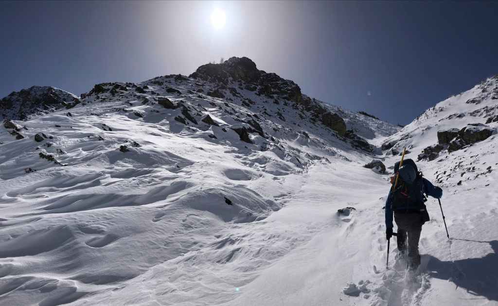
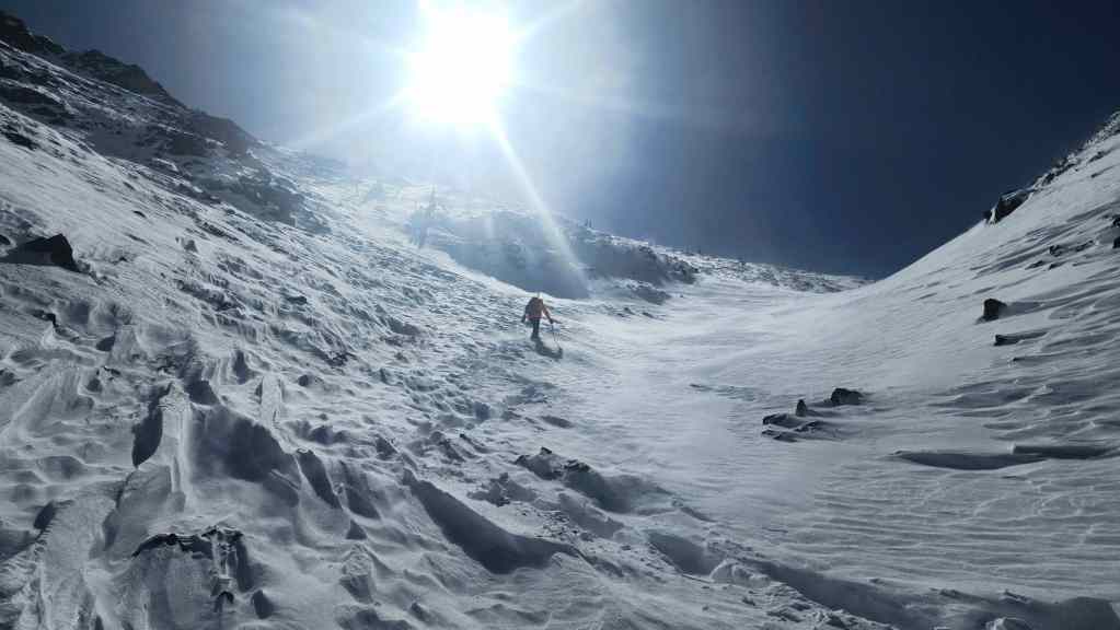
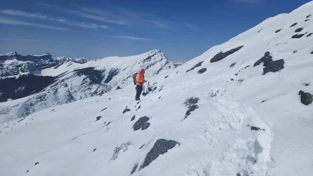
Nearing the col before the summit ridge.
Heading up. (Photo by Andrew Nugara)
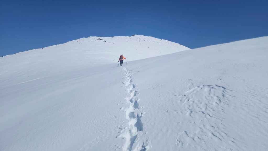
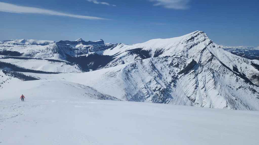
More great views.

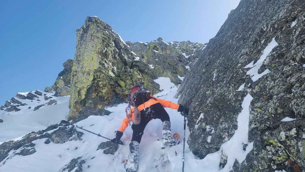
We’ll ditch our snowshoes at the start of the boulder field in front of me. (Photo by Andrew Nugara)
As my bloodied shin will testify, it was easier (and less painful) to navigate the boulder field without snowshoes.
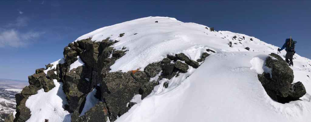
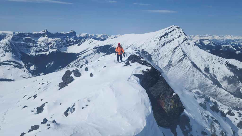
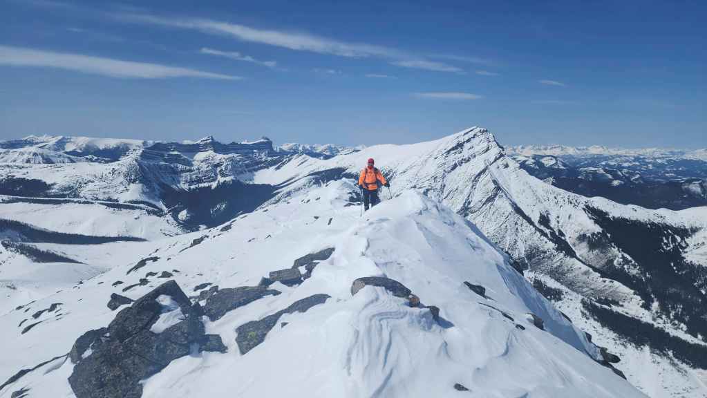
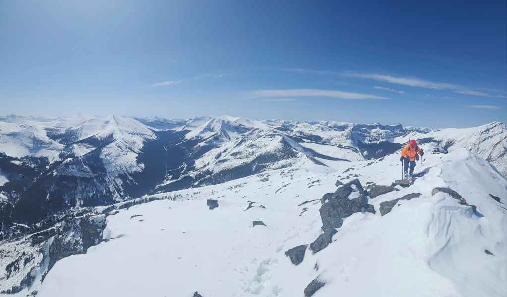
Following the summit ridge. (Photo by Andrew Nugara)
More of the same. (Photo by Andrew Nugara)
Passing the cornice equivalent of an ‘up-do’ haircut. 😂 (Photo by Andrew Nugara)
My view back as we near the summit.

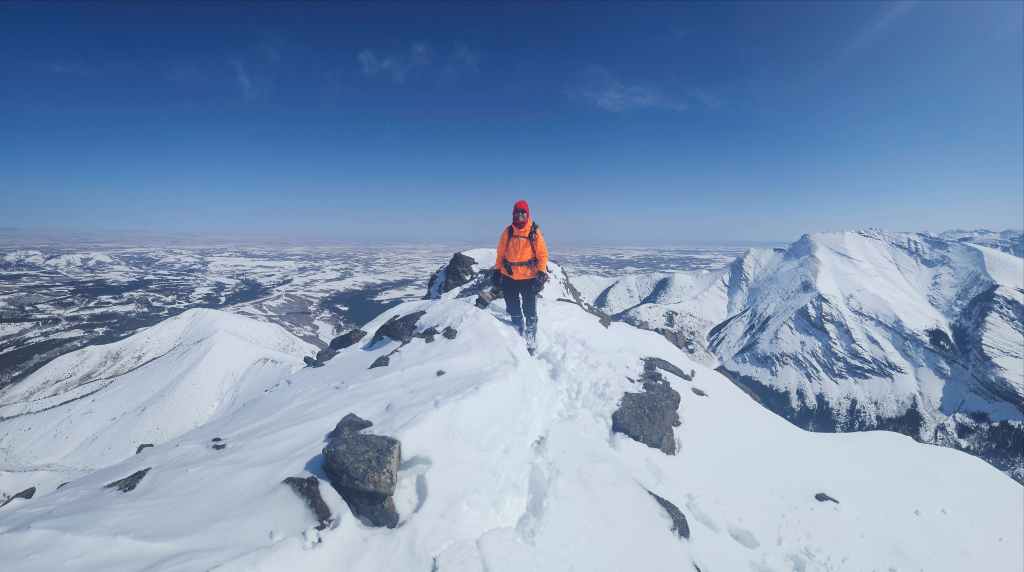
The summit of Pincher Ridge (2423 m). This was my third visit – and each time I’ve used a different route.
Another look back as Andy joins me on the summit. This was the first time either of us have completed this as a snowshoe.
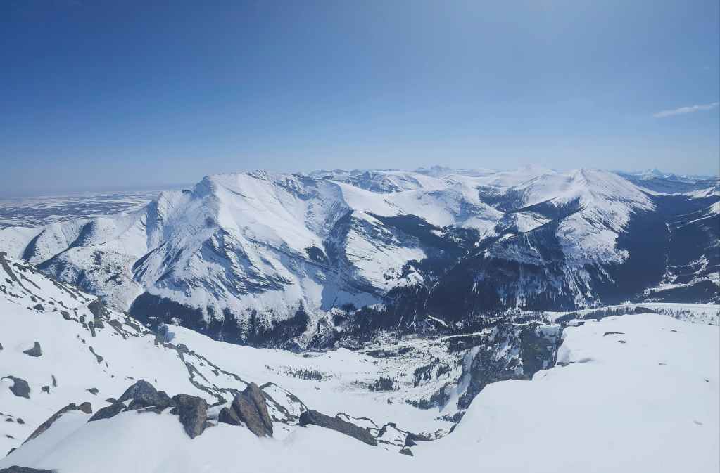
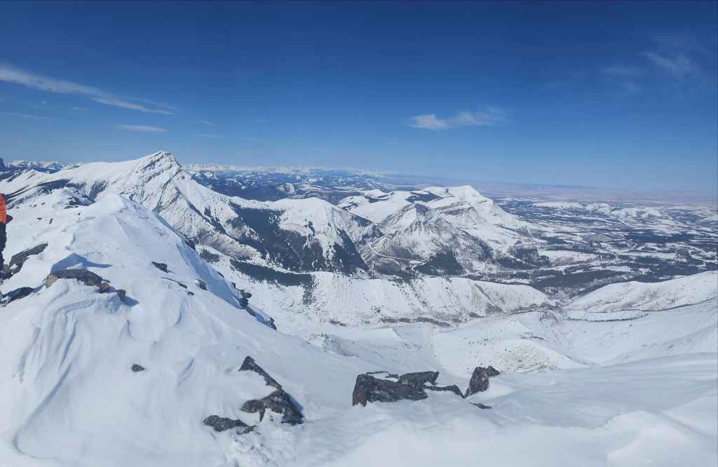
A pano to the southeast…
And then to the south.
Looking southwest…
Then to the northwest…
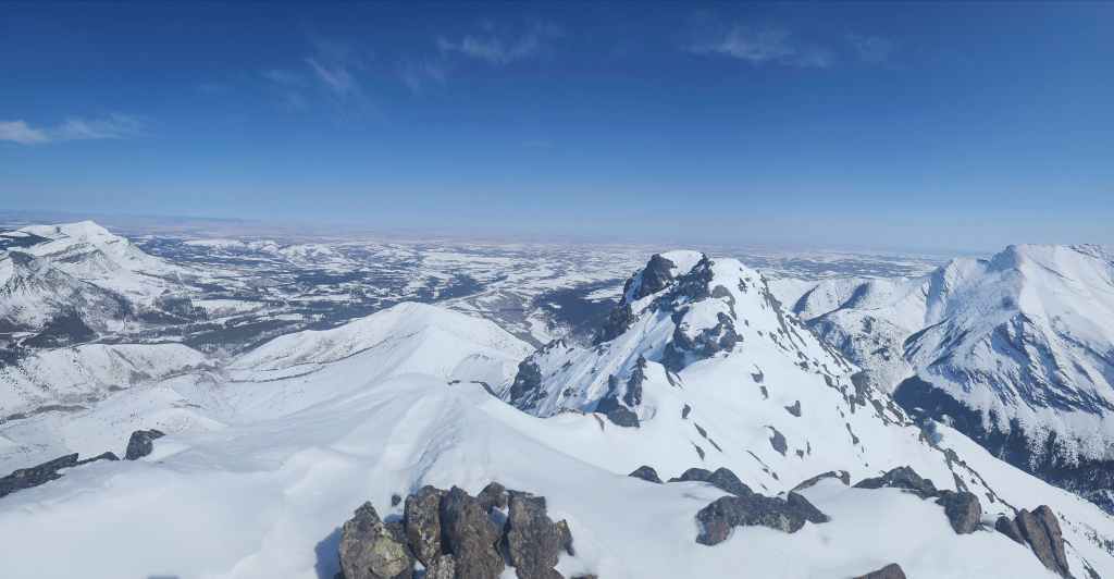
And finally, a pano to the northeast.

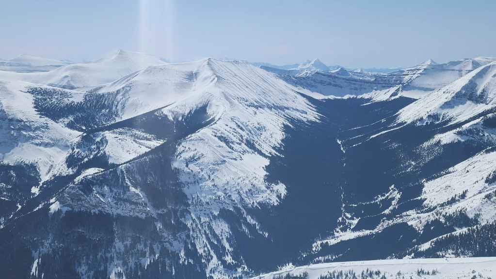
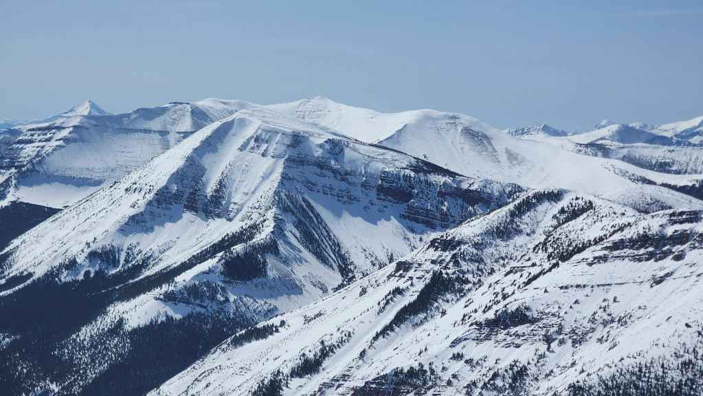
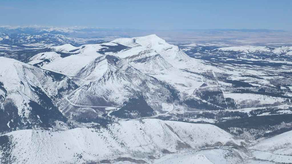
A closer look at Drywood Mountain.

Lots of spindrift on the summits of Loaf Mountain (left of centre) and the Southwest Summit of Drywood (right).
In the foreground is “Little Bo-Peak” (centre) with King Edward (left) and Starvation Peak (centre) behind it.
Looking along the ridge toward Pincher’s South Peak (left of centre) and Victoria Ridge (centre).
Glancing down at Pincher’s Centre Peak.
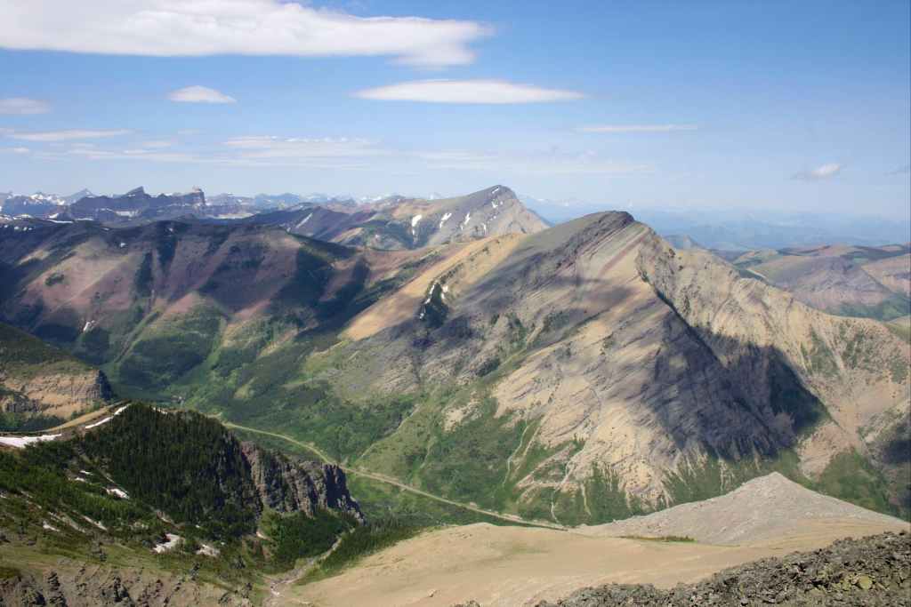
The view over to Windsor Mountain (centre) and Castle Peak (right).
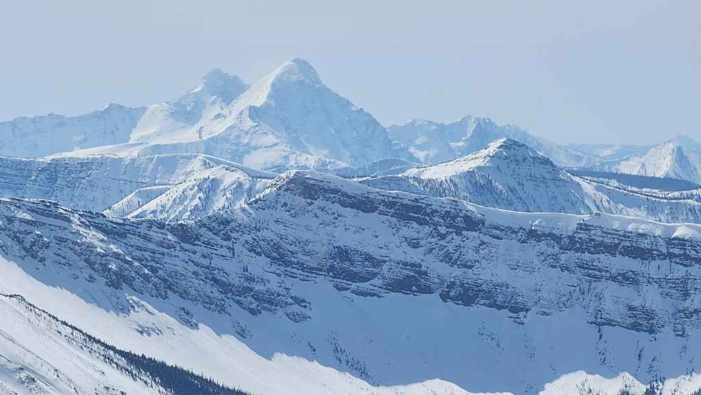
A wintry Victoria Peak (centre).
The Prairie Bluff family: “Prairie Storm” (far left); “Prairie Sky” (left of centre); “Prairie Oyster” (left of centre); “Prairie Fire” (centre); and of course, Prairie Bluff (centre).

Zooming in on our starting point at the gas well.
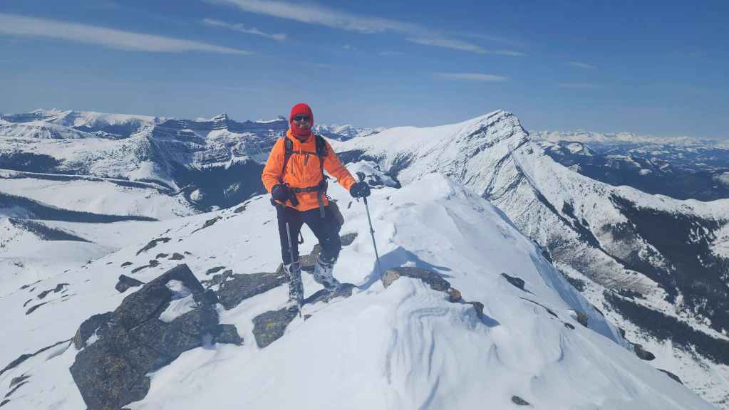
GQ Fluorescent Series #1 – “Orange you glad you came?” 😂

GQ Fluorescent Series #2 – “I Crushed it!” 😂
GQ Fluorescent Series #3 – “What a Tarrific ascent!” 😂

“I’m too cool for gloves!” 😂
“Just pretend the camera isn’t there.” 😂
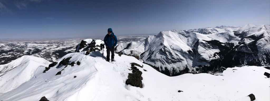
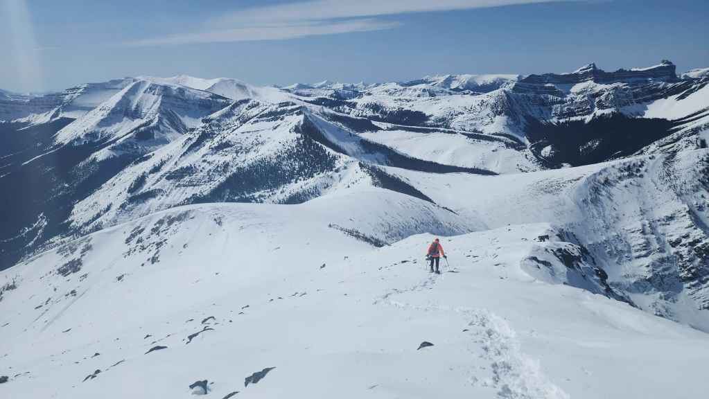
After 10 minutes or so on the summit, it was time to head back.
I deliberately hung back to take in the views.
A different composition of the previous photo.
Andy reaches the col…
And then fights through spindrift as he heads up a high point.
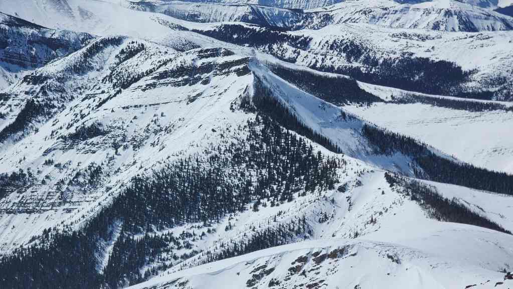
Loaf Mountain (left) and the Southwest Summit of Drywood provide a great backdrop.
Looking back to the summit of Pincher. (Photo by Andrew Nugara)
On this trip, if you changed your composition to include Victoria Peak, you were almost guaranteed to capture some great photos. 🙂 (Photo by Andrew Nugara)
I ended up taking a bazillion photos today. Good thing film is cheap! 😂

More of the same…
And yet another.
Like Victoria, you could also include Windsor Mountain and Castle Peak to the same effect.
Another look back to the summit of Pincher. (Photo by Andrew Nugara)
Heading onto a sheltered section.
A brief reprieve from the wind. (Photo by Andrew Nugara)
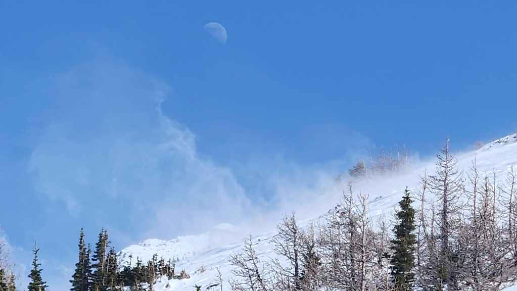
I tried to take a photo of the moon above the summit of Pincher (lower centre) and discovered after-the-fact, that it also included the spindrift photo effect free of charge. 😂
One last look at the summit of Pincher. (Photo by Andrew Nugara)
Back in the gully and noting that spindrift had erased all our tracks.
Andy approaches the top of the waterfall.
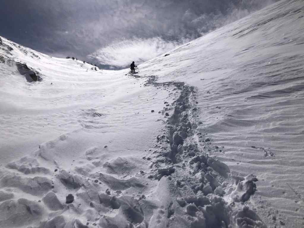
Andy’s view back to me. (Photo by Andrew Nugara)
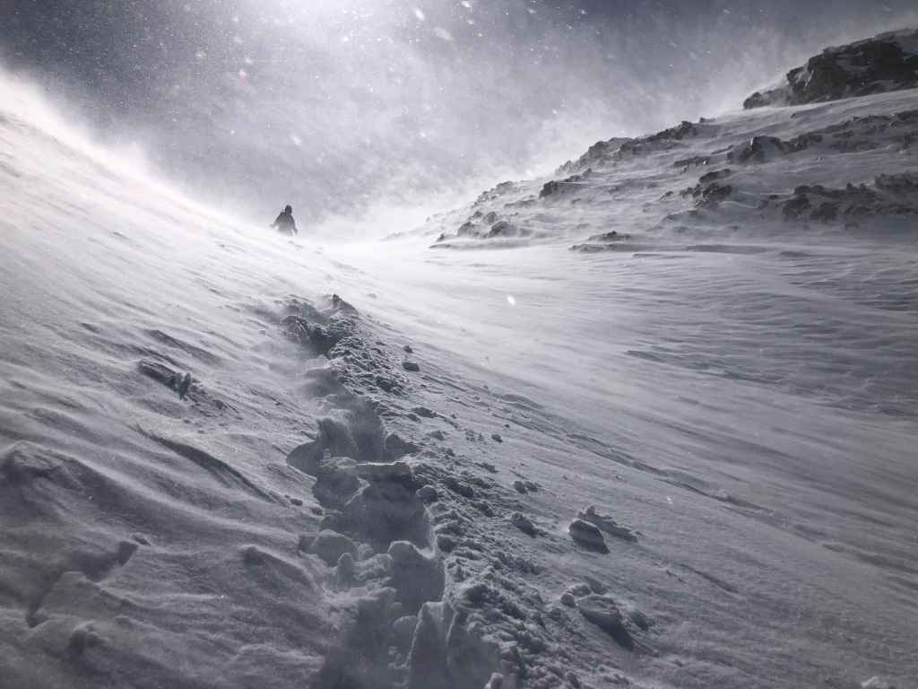
This super cool image resembles a poster for a horror movie. Perhaps the long awaited sequel to, “The Thing”? (Photo by Andrew Nugara)
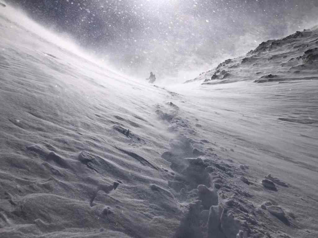
More of the same. Though in retrospect, if I’m in the photo then the movie would have to be called, “Revenge of the Gap-Toothed Monster”. 😂 (Photo by Andrew Nugara)
Andy’s view back as he waits for me at the top of the waterfall. (Photo by Andrew Nugara)
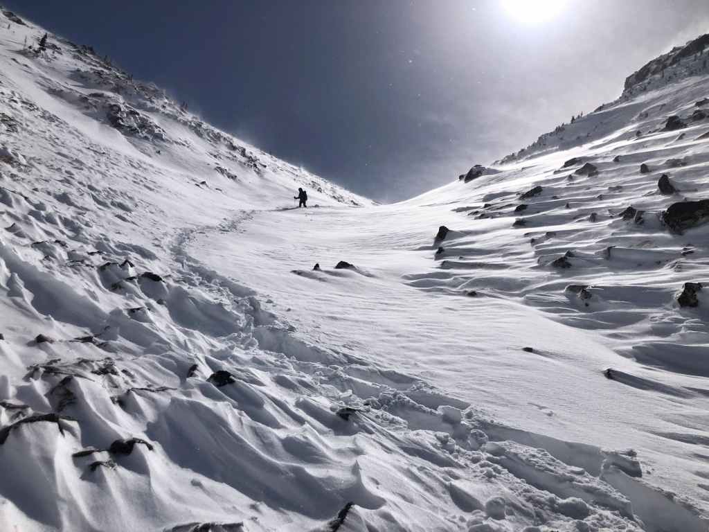
Instead of descending next to the waterfall, we found an even easier way.

A quick look at our route bypassing the waterfall (right). (Photo by Andrew Nugara)
Continuing down the drainage.

Spindrift pours over “The Horn”. (Photo by Andrew Nugara)
Arriving on more gradual terrain.
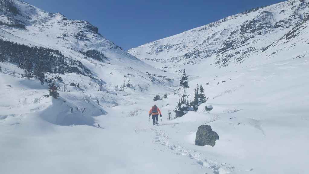
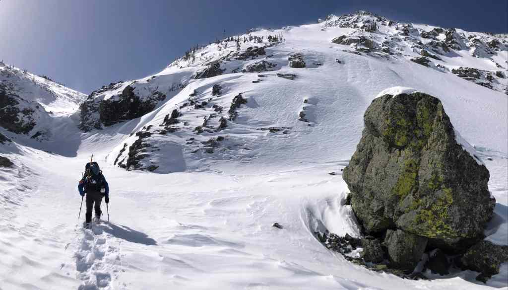
Passing the unique rock that sits across from our ascent slope for “The Horn”. From here, it will be a ~4 km hike back to my truck. (Photo by Andrew Nugara)
Gazing up at the north face of Pincher.

Making good time! (Photo by Andrew Nugara)
Arriving at the creek and observing that most of the snow from earlier in the day had melted and/or evaporated off of the south slope. (Photo by Andrew Nugara)

Note the snow on the north side of the creek…
And the lack of snow on the south side of the creek. Unlike this morning, snowshoes were no longer required.
Looking along the small ridge that leads to the trailhead. Almost all the snow had disappeared.

It’s hard to believe that we snowshoed this earlier in the day.

Arriving back at my truck after yet another amazing day in the mountains! I was definitely not expecting to snowshoe to the summit of Pincher Ridge; nor was I expecting the incredible winter views. Thanks again to Andy for his great trail breaking efforts and his fantastic camaraderie!


Leave a Reply