
⚠️ Hiking and scrambling are inherently dangerous activities. Please read my Disclaimer. ⚠️
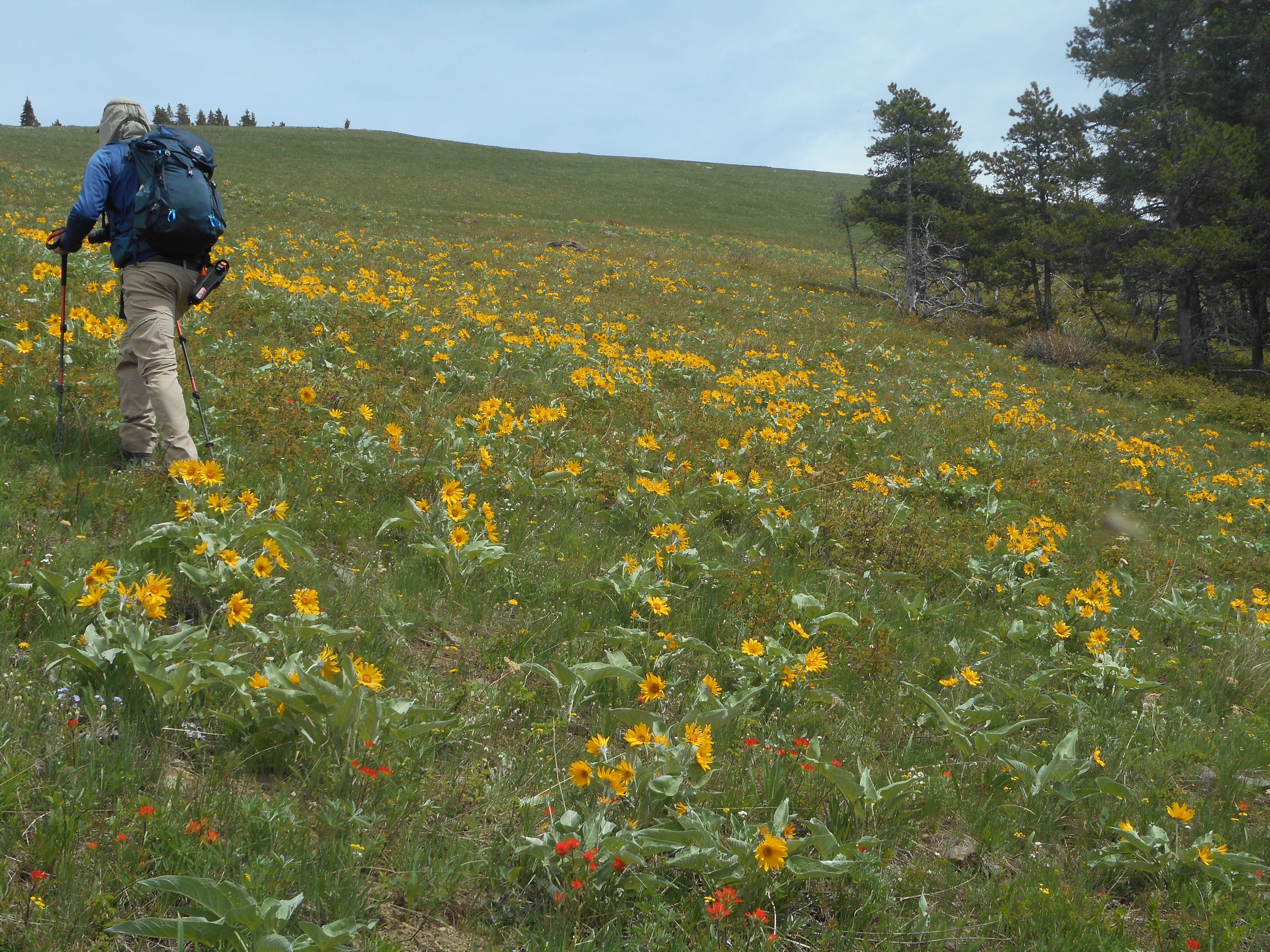
Each time that I’ve been on “Blue Mountain”, I’ve had amazing weather and today was no exception. As I was still feeling good after tagging Blue for a third time, we decided to keep going and venture over to a slightly smaller foothill located immediately to the west – one that I’ve nicknamed, “Screwdriver Ridge”, after nearby Screwdriver Creek. While “Screwdriver Ridge” looks fairly close to “Blue Mountain” – it is after all, only ~2.1 km as the crow flies – in reality it requires much more hiking. Indeed, it took us ~3.5 km to reach the summit using a fairly direct approach. I think one of the reasons why it looks closer, is because you can’t see the immense meadow slope that leads down the west side of an intervening ridge that Brad has nicknamed, “Meadow Mountain”. On a day like today, this slope is an amazing sight with its green grass and multitude of wildflowers. It is also a ~934 m hike (~178 m elevation loss) from the top of “Meadow Mountain” to reach the valley floor.
Despite this, “Screwdriver Ridge” entertained us the entire time. Whether we were travelling on one of several well-trodden horse trails, or walking off-trail through the forest, it was a very pleasant experience. The summit itself surprised us, with its size and with its views. All in all, it was well worth the diversion.
Instead of retreating out the valley on our way back, we decided to ascend the south ridge of “Blue Mountain” and check out ‘Baboon Rock’ which Andrew Nugara came across when he descended from Blue in 2018. To our surprise, there was an excellent trail that led up from the valley to the south ridge, and then another one that took us all the way back to the gas road. This is truly a great place to hike!
As this was my first mountain trip since February due to COVID-19 restrictions and thyroid cancer treatments, it was an awesome feeling to be back in the mountains and hiking with a such a good friend! 😊

To get to Blue Mountain, we drove west from Pincher Creek on Highway 507 to the hamlet of Beaver Mines. At the T-intersection on the edge of town, we turned right (north) and continued on Highway 507 for ~1.1km until we came to Township Road 6-2A. We then turned left (west) and followed the gravel road for ~2.8km until we came to a side road on the right that led to a Shell gas well. Here we parked on the side of the road just prior to an obvious cutline. This was our starting point.
The cutline demarcates private land and leased public land. All the land to the north of the cutline is leased public land and the leaseholder does not require contact prior to access if you are on foot. Nevertheless, this land is the livelihood of the leaseholder and so a high level of respect is required. A barbed wire fence runs up the middle of the cutline and I stayed on the north side of it until I reached the SE ridge. From here, we enjoyed the fun walk along the ridge until we came to where it intersects with the south ridge. The summit lies ~400m to the north.
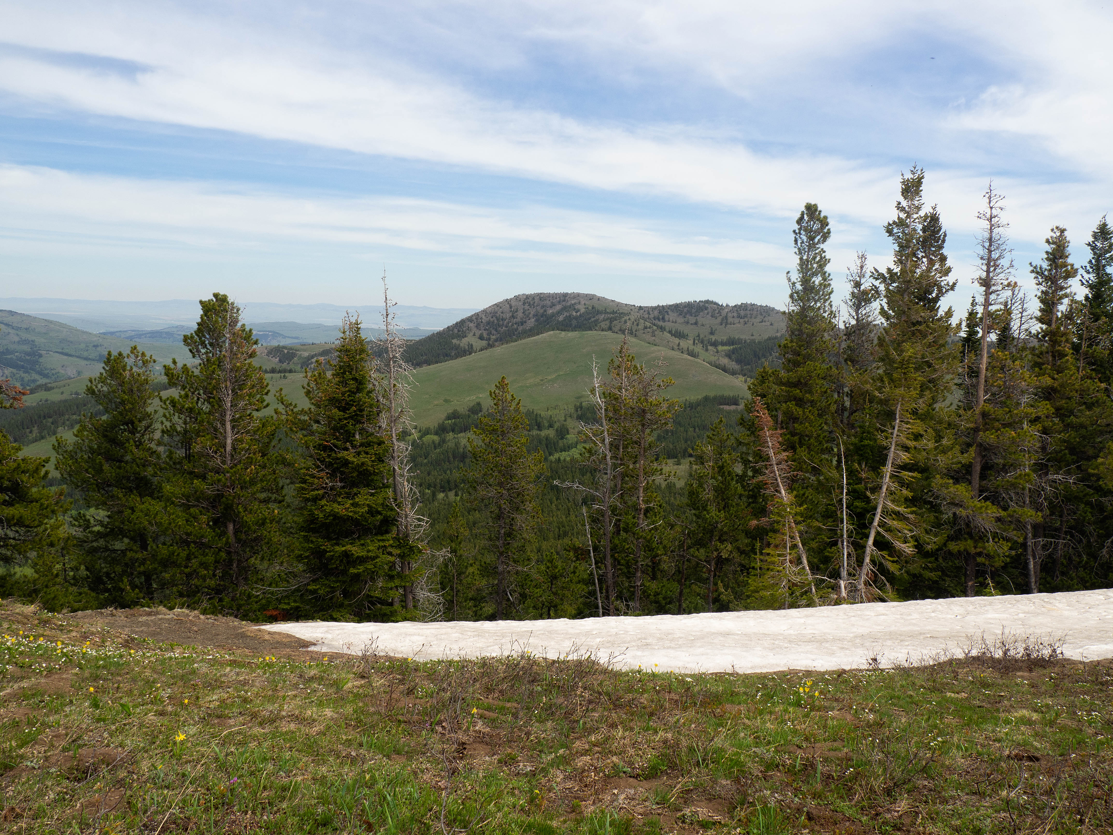
After spending a relaxing time on the summit, we decided to venture over to “Screwdriver Ridge” (1691 m), a slightly lower foothill located ~2.1 km as the crow flies to the west of “Blue Mountain”. Back in 2017, I had thought about making the two destinations into a loop, and today we decided to give it a go, though in a slightly different route than what I had originally envisioned. Be warned though, “Screwdriver Ridge” appears much closer to Blue Mountain than it is. It took us ~3.5 km of hiking to reach its summit.
From the summit of “Blue Mountain” we made the ~783 m trip to the top of an intervening ridge that Brad dubbed, “Meadow Mountain” because of the immense meadow on its west slope. We then descended another ~934 m to the valley floor, before beginning a relatively easy combination of bushwhacking and intermittent trail following for ~1.8 km towards the summit of ‘Screwdriver Ridge”. The final ~100 m or so up the south side to the summit was quite steep but otherwise, was not difficult terrain.
From the broad summit of “Screwdriver” we then descended to its col with a small highpoint to the northwest where we proceeded to descend. After ~3 km, we connected with a well-trodden trail that led up a drainage for ~950 m to the south ridge of “Blue Mountain”. Here, we admired ‘Baboon Rock’ and the interesting conglomerate, before descending down the ridge and intersecting with another trail that led ~2.3 km across the valley and back to the road and then our vehicles.

Our total distance travelled was 13 km with total elevation gains of 922 m. Though “Screwdriver Ridge” is only ~2.1 km as the crow flies from the summit of “Blue Mountain”, in reality it took us ~3.5 km of hiking. The entire loop took us 6 hours and 21 minutes.

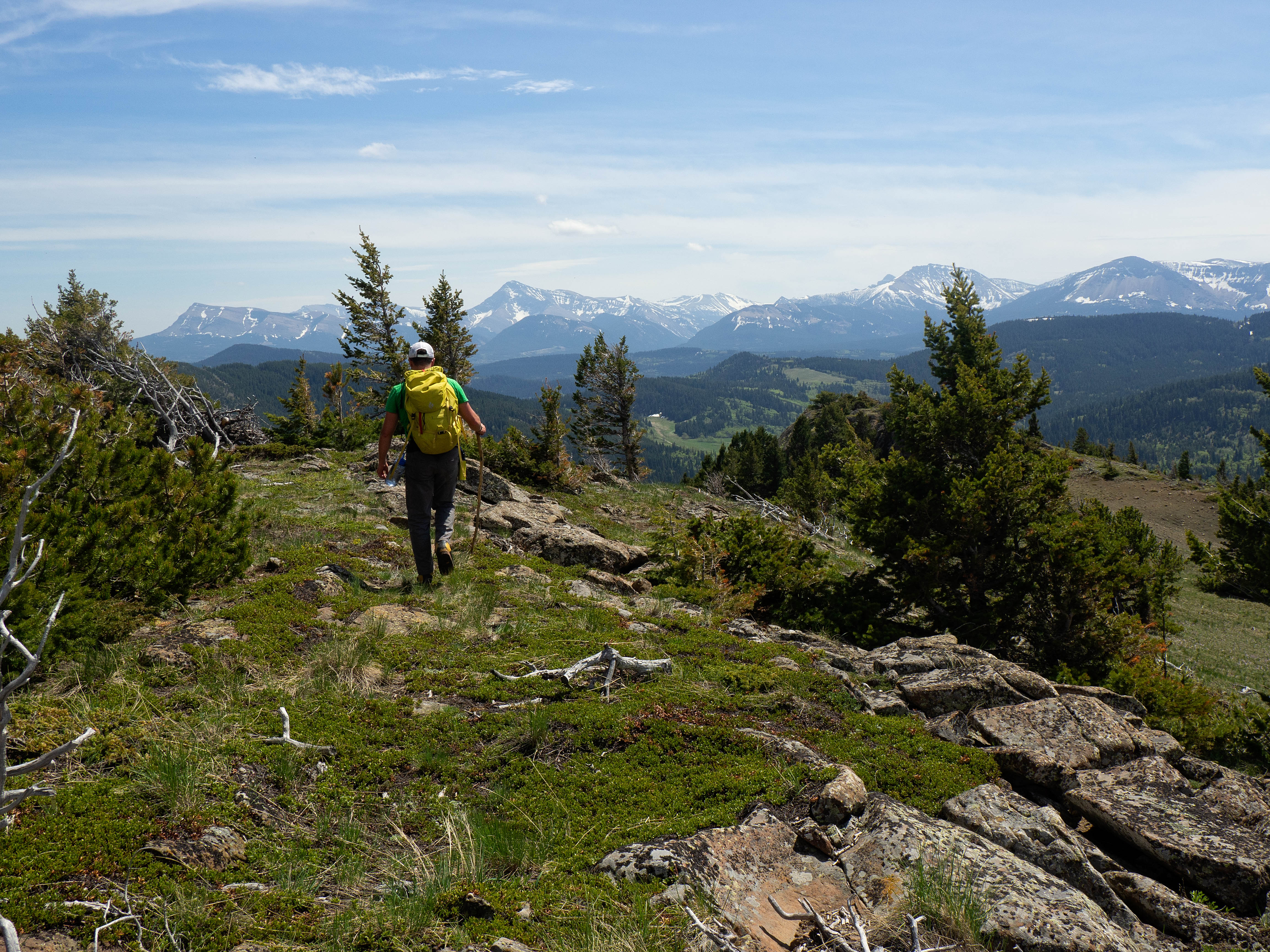
Leaving the summit of “Blue Mountain” and heading towards “Screwdriver Ridge” (right). On the left is Mount Backus.

With sunshine, temperatures in the mid- to high-twenties and little to no wind, it was a perfect day for a spring hike in the Castle.
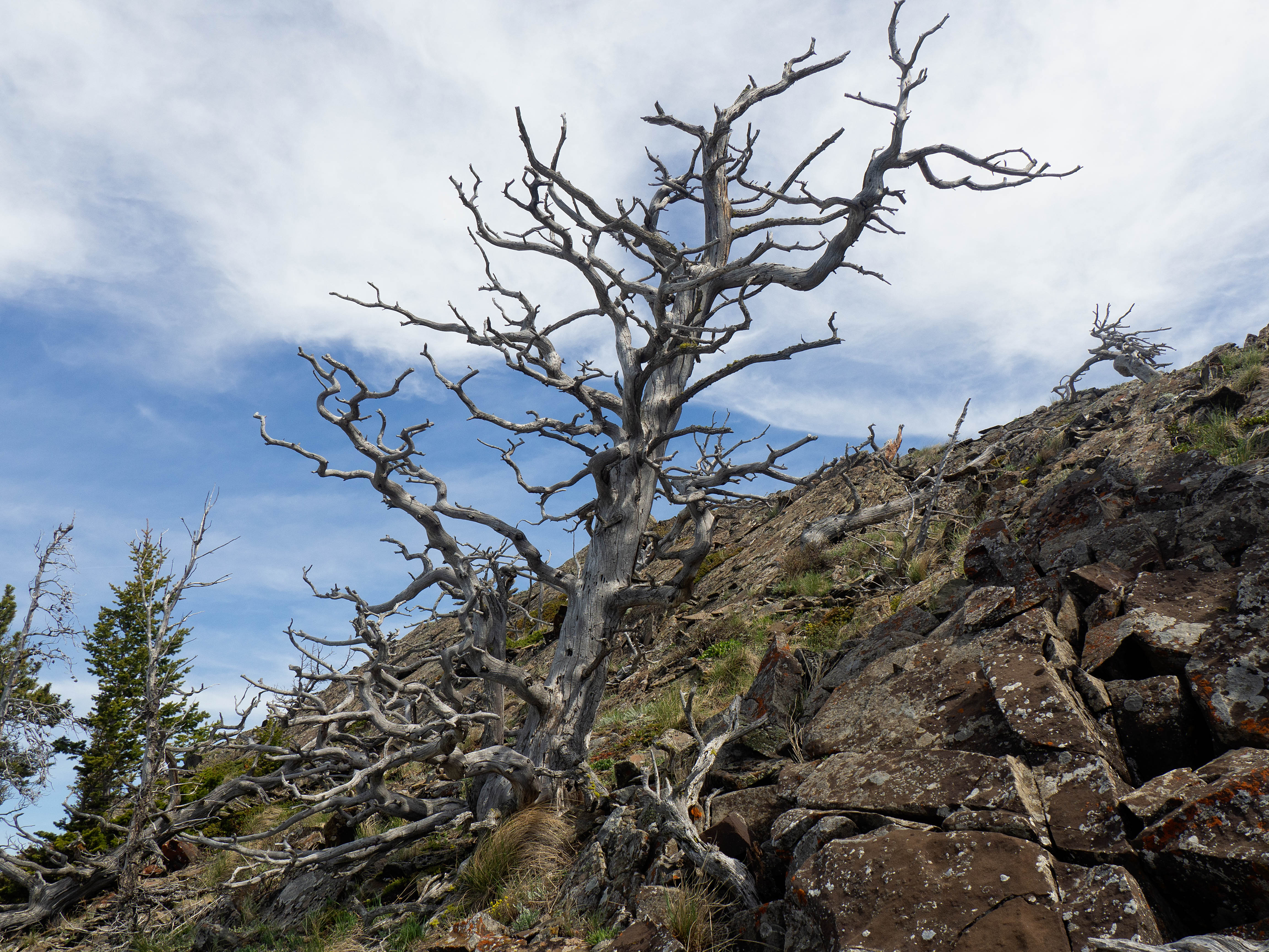
A wizened old tree on the side of “Blue Mountain”.

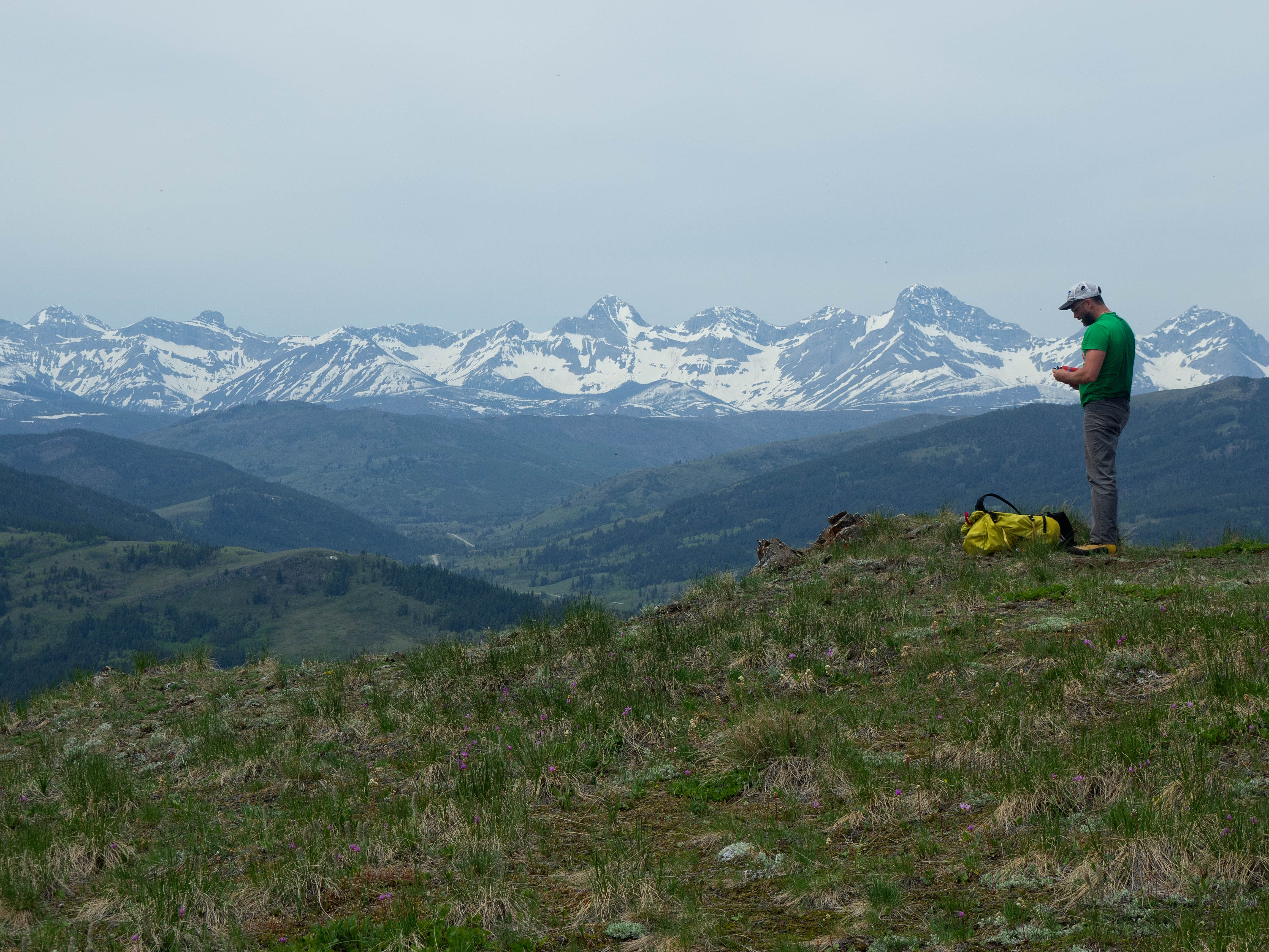
The man, the myth, the legend. 😂

Brad checks out the views to the south as we head towards “Meadow Mountain”.

Looking back to the south ridge of “Blue Mountain”, which is where we’ll head after tagging “Screwdriver Ridge”.

This glacier lily exemplifies a landscape filled with wildflowers.
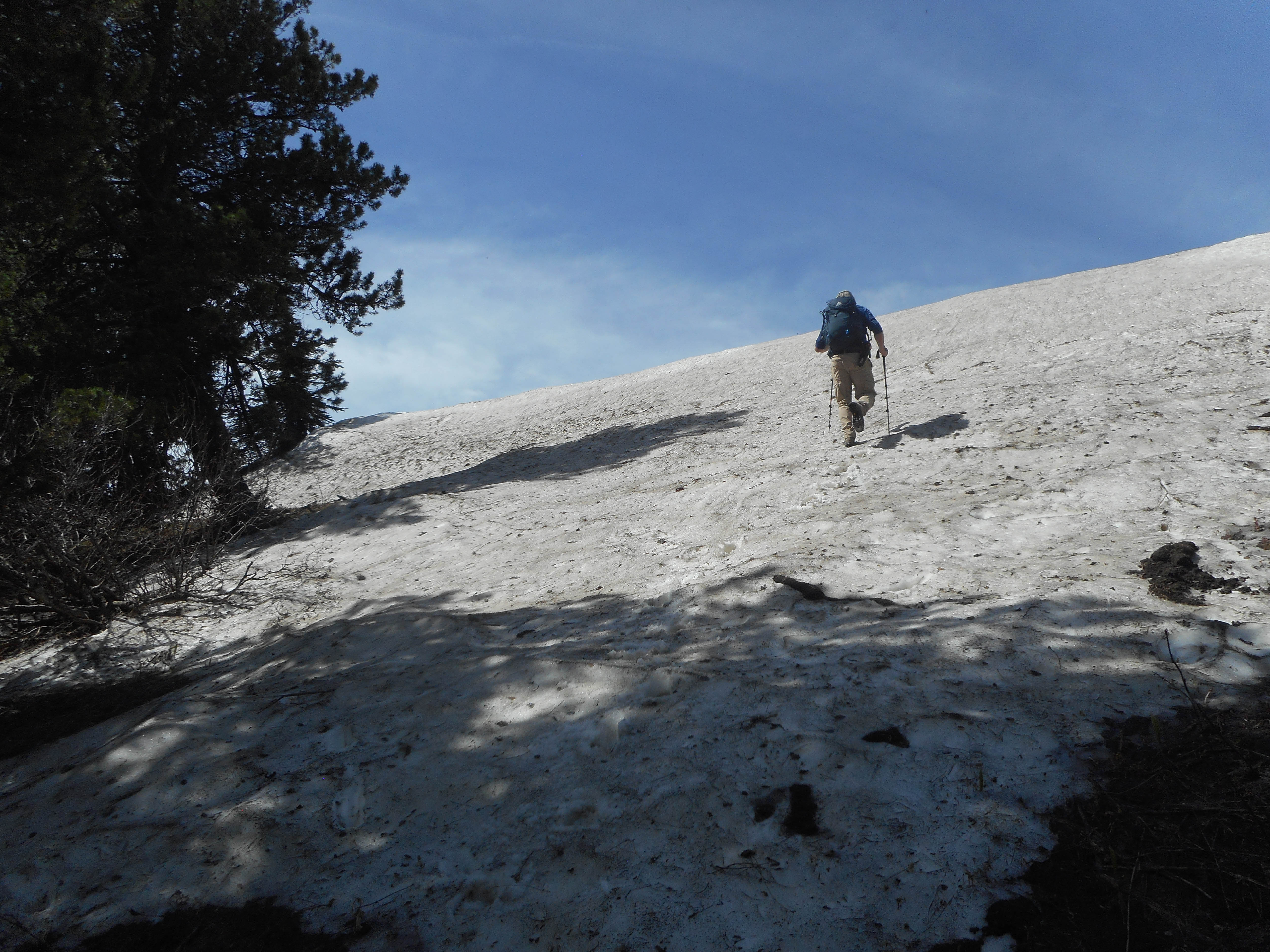
I hike up a remaining patch of snow to reach the top of “Meadow Mountain”. (Photo by Brad Wolcott)
Looking back to the summit of “Blue Mountain”.

I check out the views from the top of “Meadow Mountain”. (Photo by Brad Wolcott)

Looking over at the south ridge of “Blue Mountain”. There is a fantastic trail that leads up the drainage in the foreground.

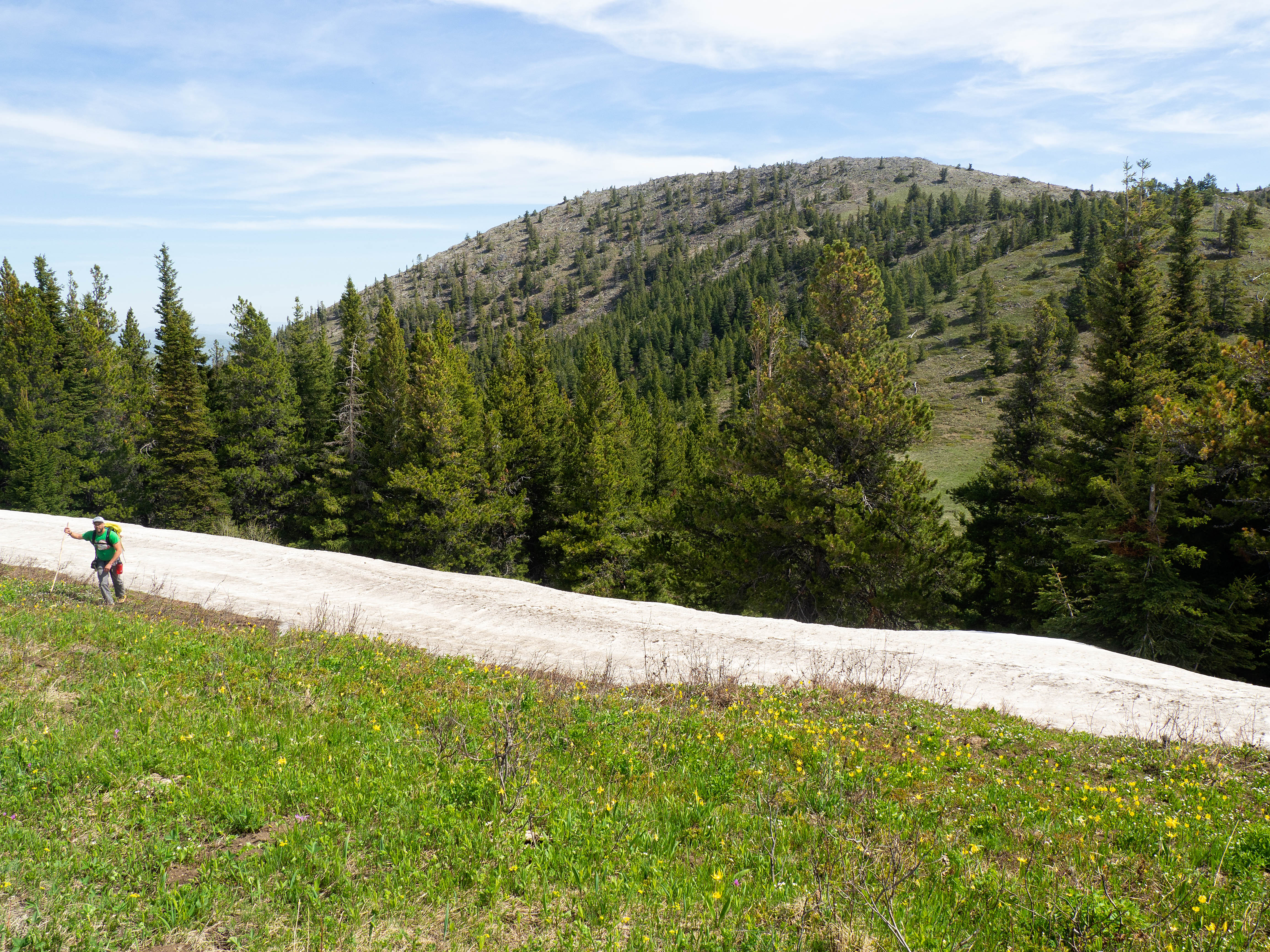
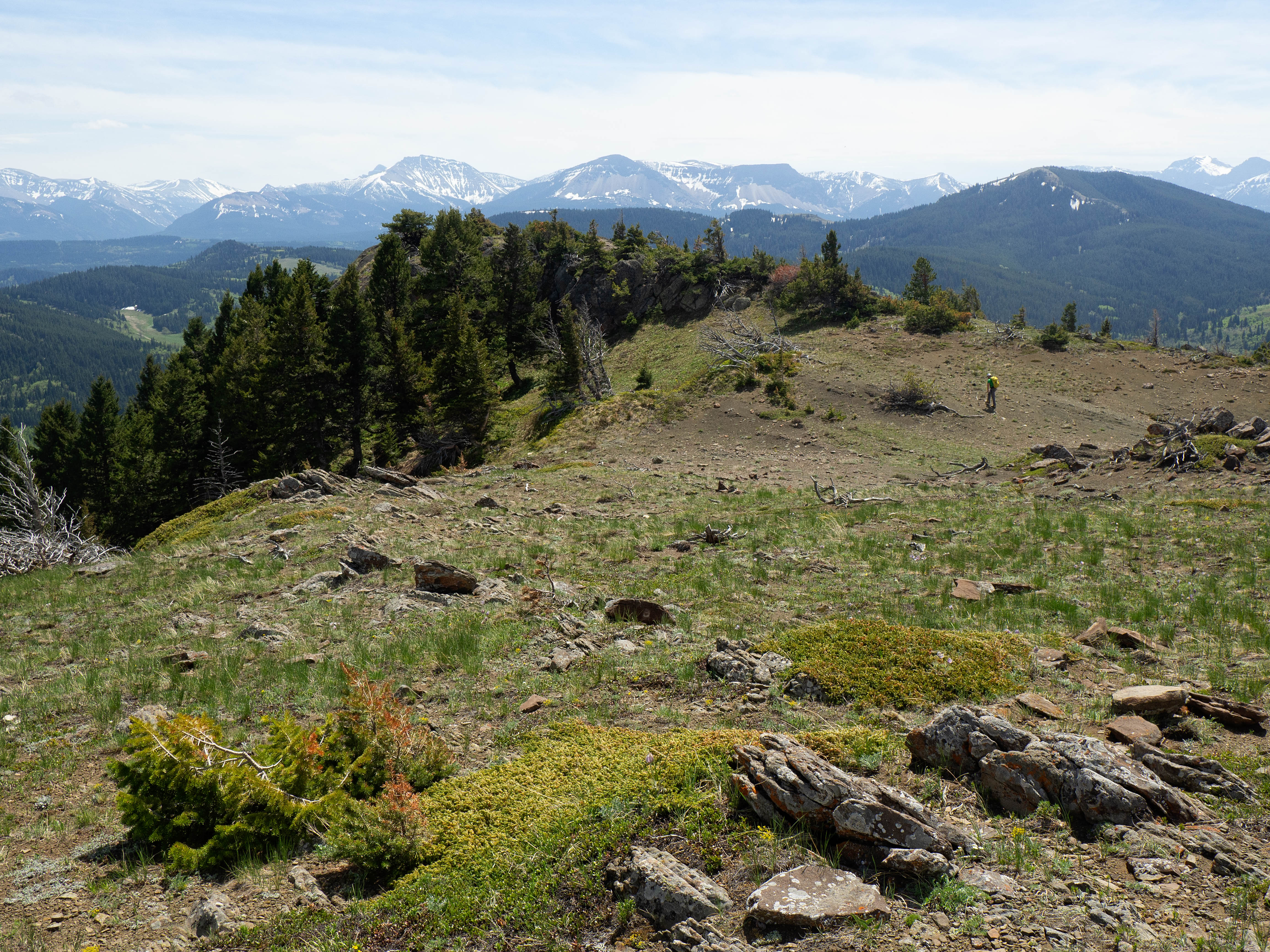
Our route up ‘Screwdriver Ridge” more or less followed the long treed ridge that starts in the foreground on the right. Our route back started from the col between the summit and smaller highpoint on the right.

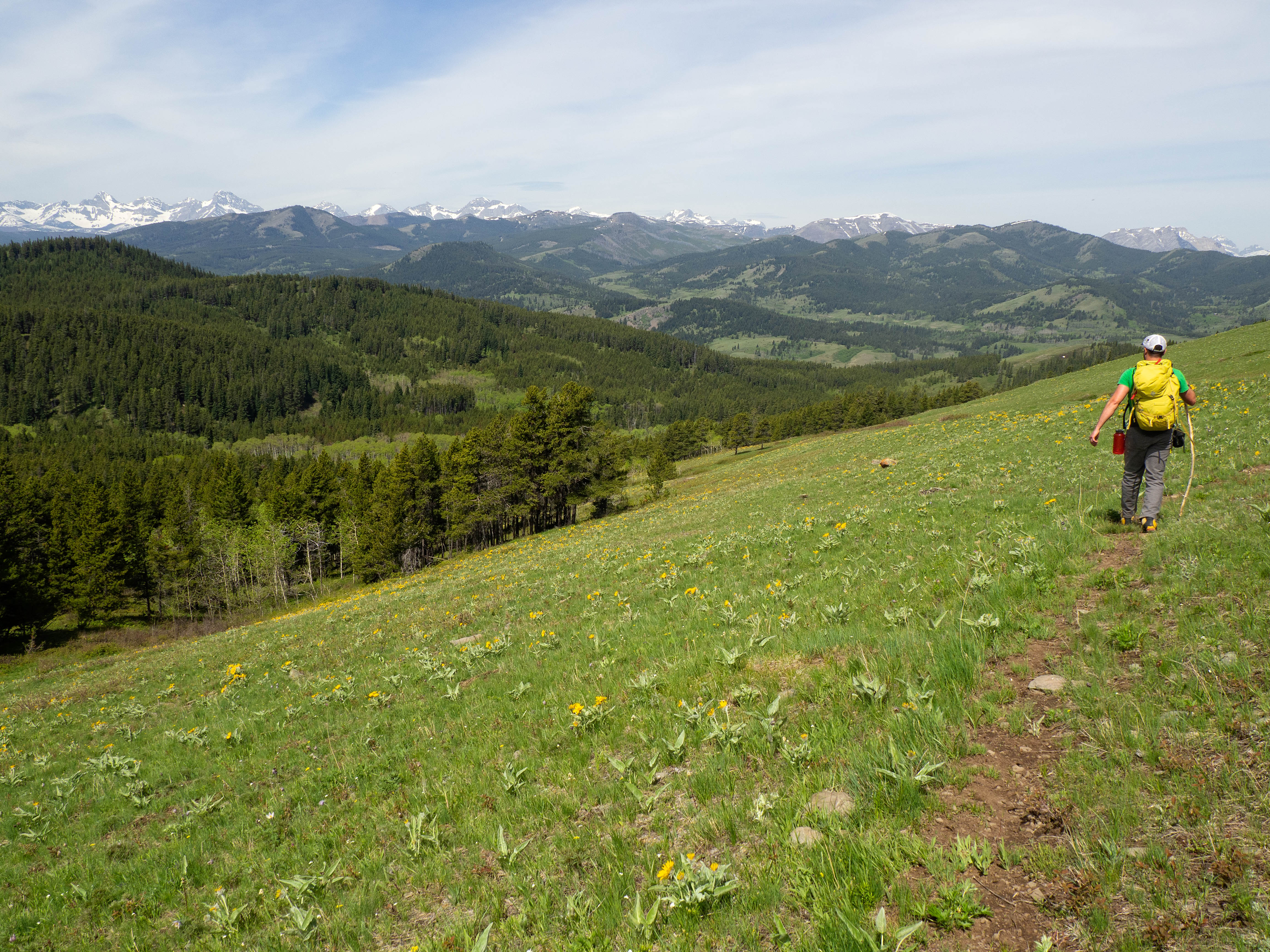
Brad channels the opening scenes of Little House on the Prairie as he crosses the scenic expanse on the west side of “Meadow Mountain”. 😭😭

So many sunflowers…
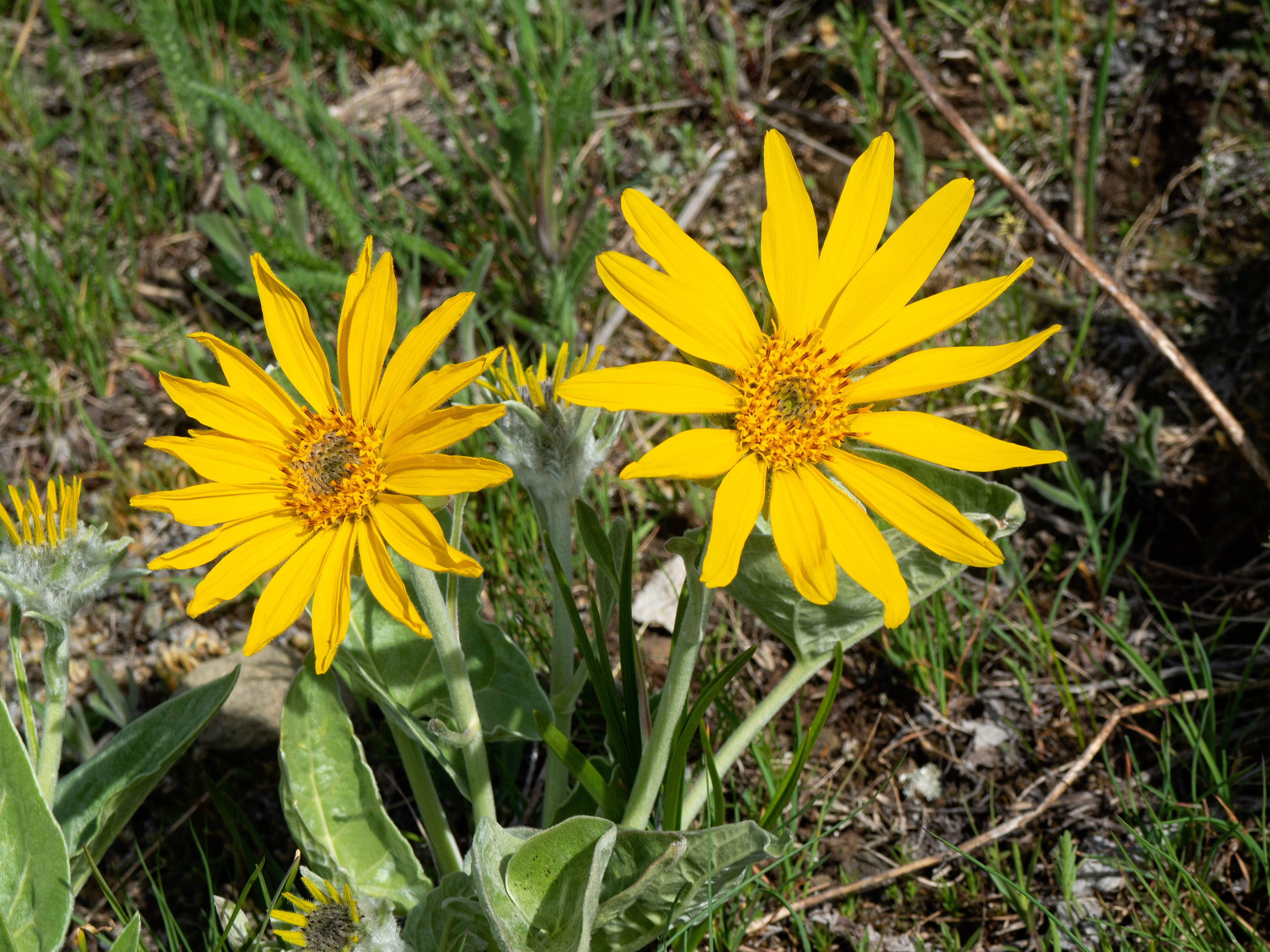
…soaking up the sun.
Near the bottom, we picked up a trail that we followed until we were parallel to the beginning of the ridge.

Bradley Ingalls Wilder. 😂

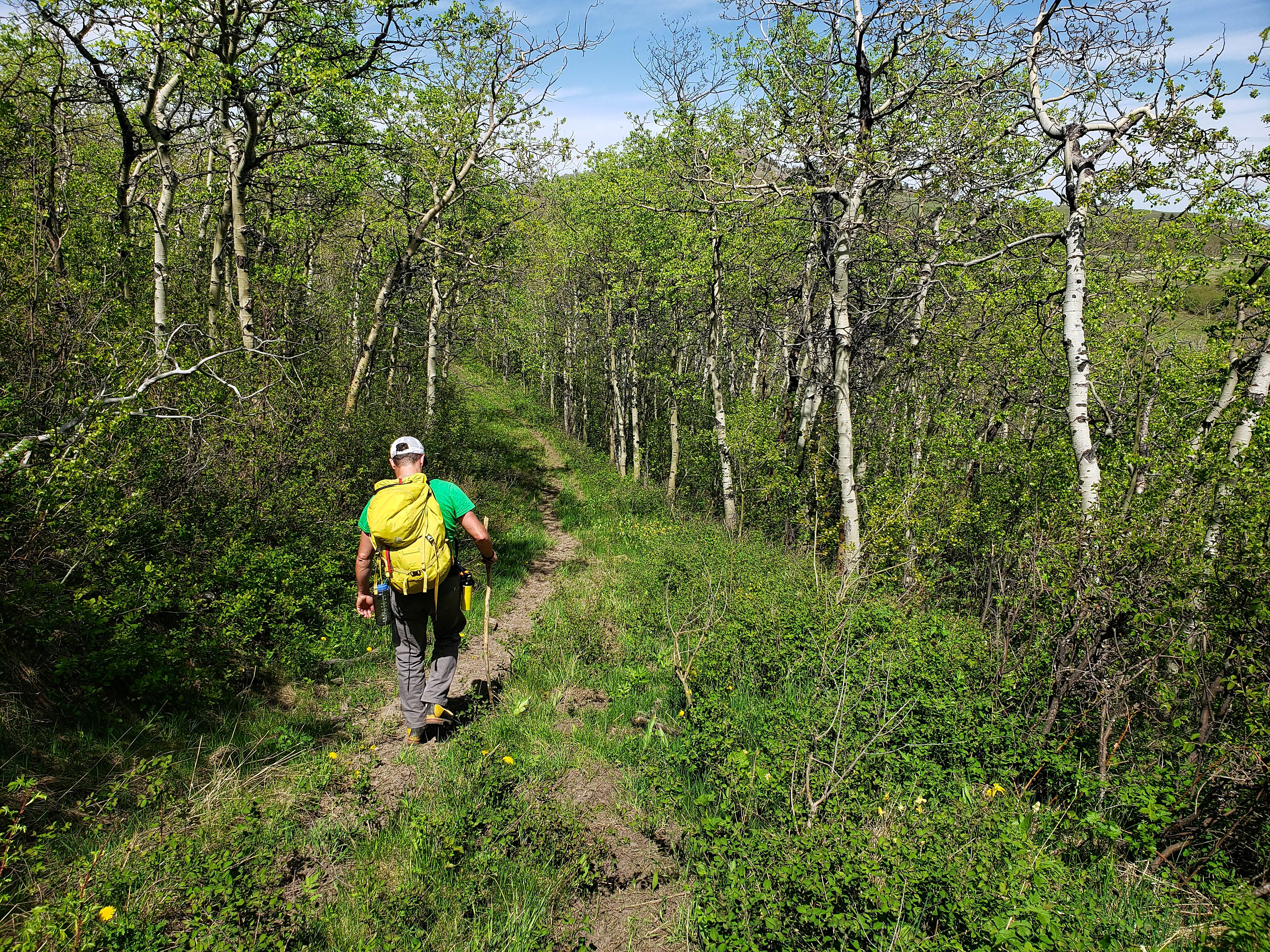
Leaving the trail and heading into the trees.

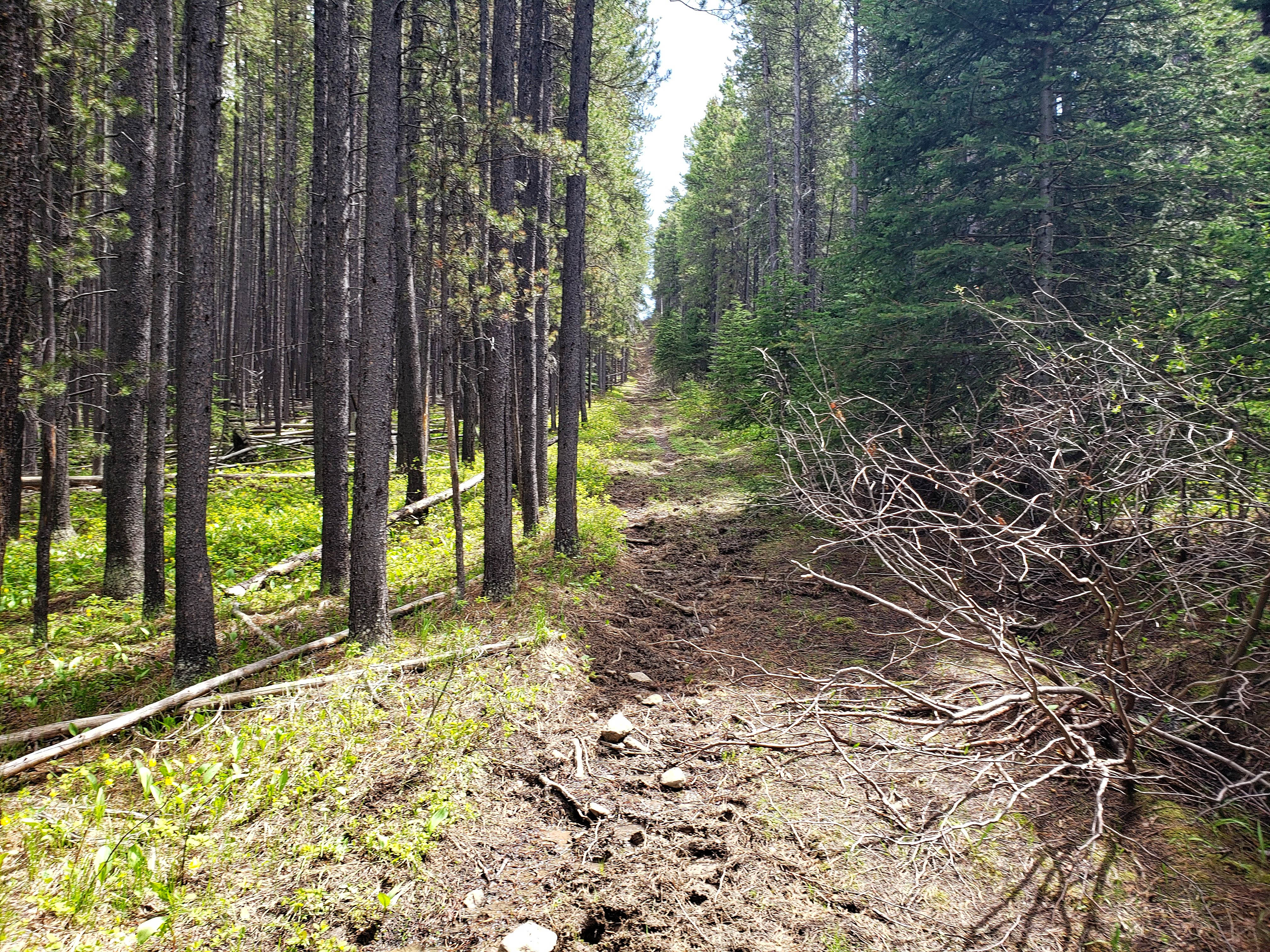
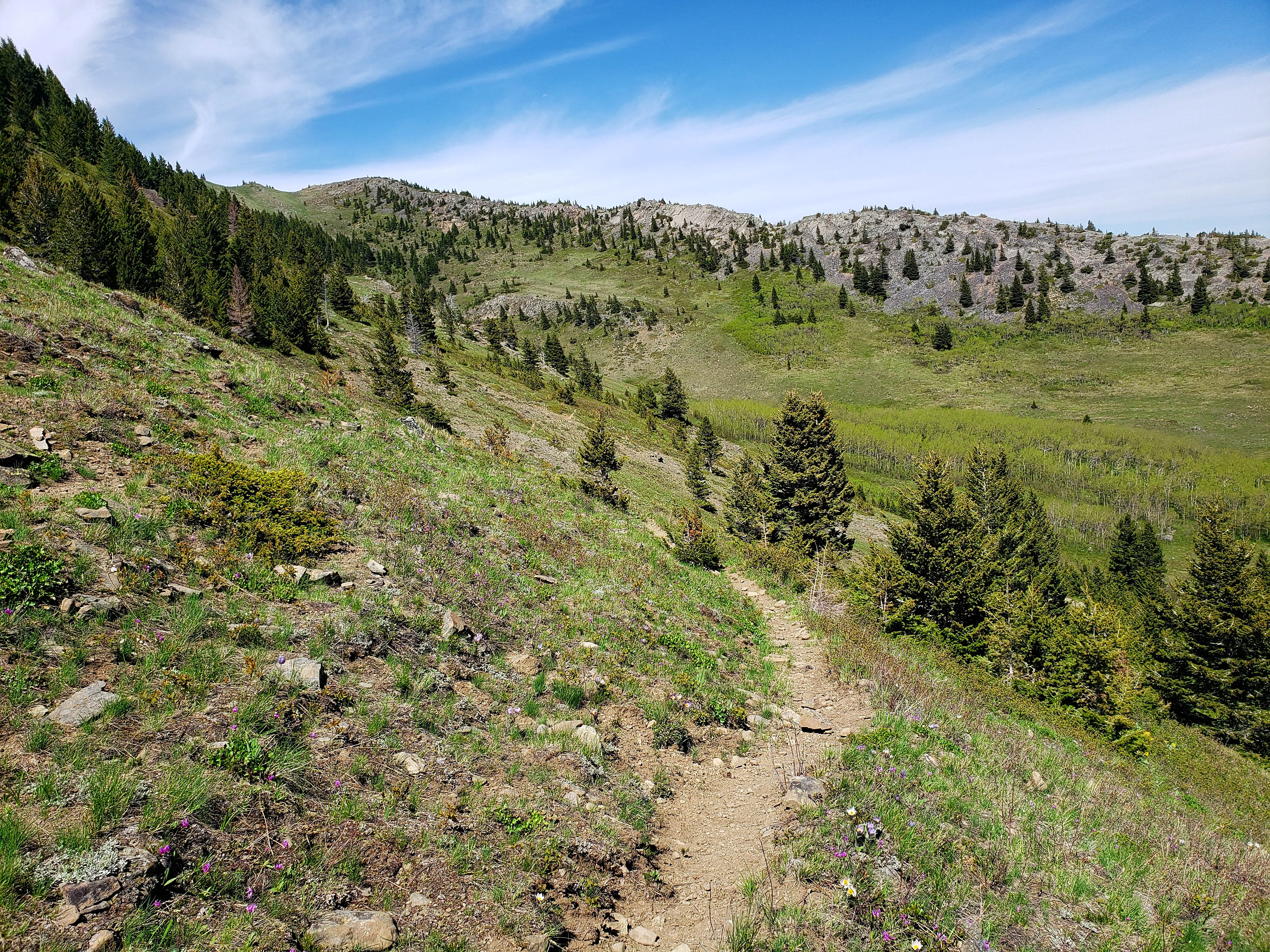
After some light bushwhacking, we came to another well-trodden trail. We didn’t stay on it too long, because we wanted to follow the ridge, but this is one of many great hiking trails we came across.

Every now and then, we would get a glimpse of the summit.

And yet another trail that we bisected. This one had been recently used by horses.

Easy travel off-trail and through the woods.

It must have been a hard winter for deer and elk.

More easy travel along the ridge.

A colourful tuft of lichen.

Things started to get steep as we closed in on the summit. The last ~100 m was very steep, but it was over accommodating terrain.

Brad closes in on the summit.

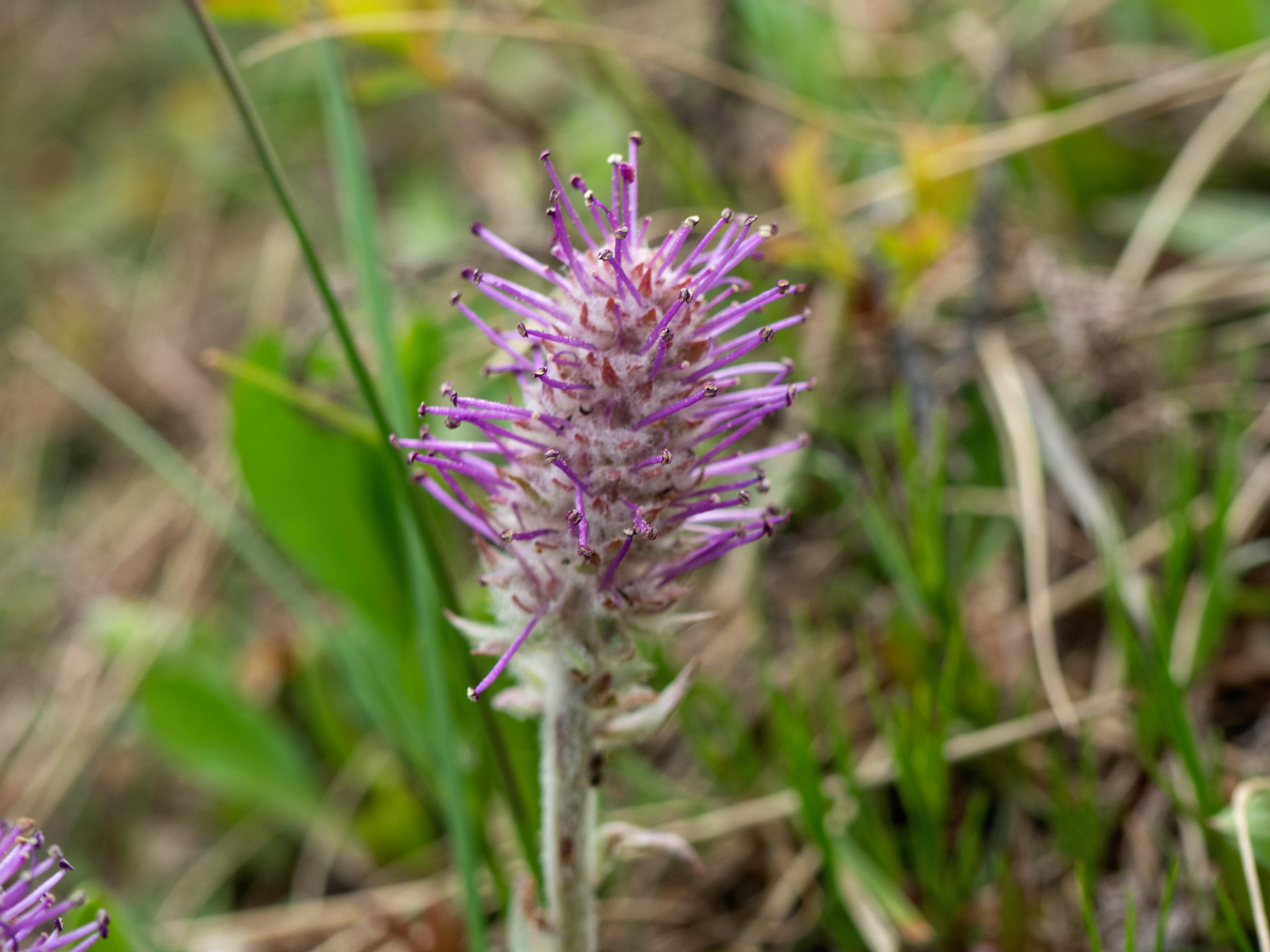
I think this is a paintbrush.

I lean into the last few metres before the summit. In the background is “Blue Mountain”. (Photo by Brad Wolcott)
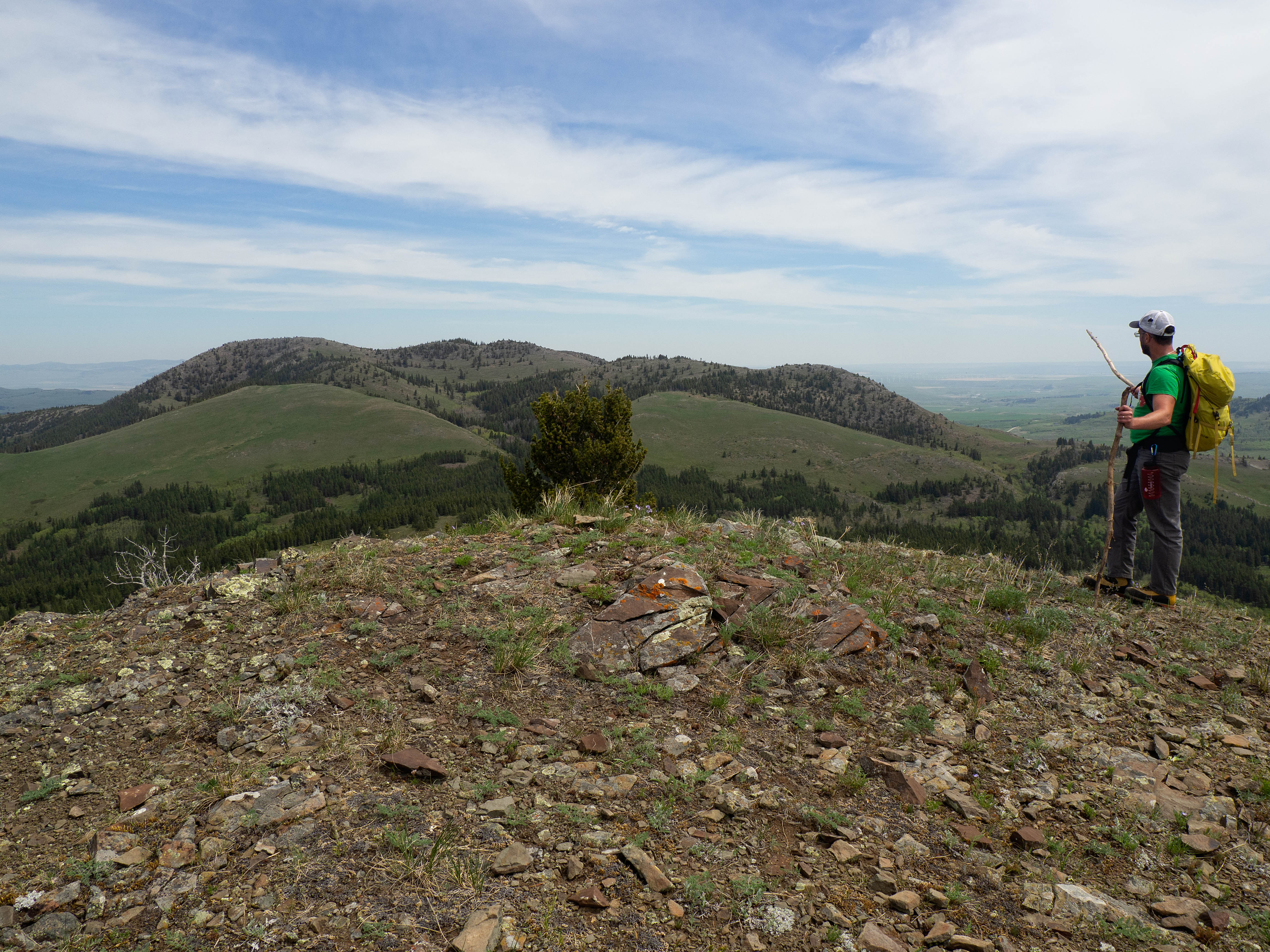
“Blue Mountain” (1715 m) looks much further away from the summit of “Screwdriver Ridge” (1691 m) than Screwdriver looks from Blue.

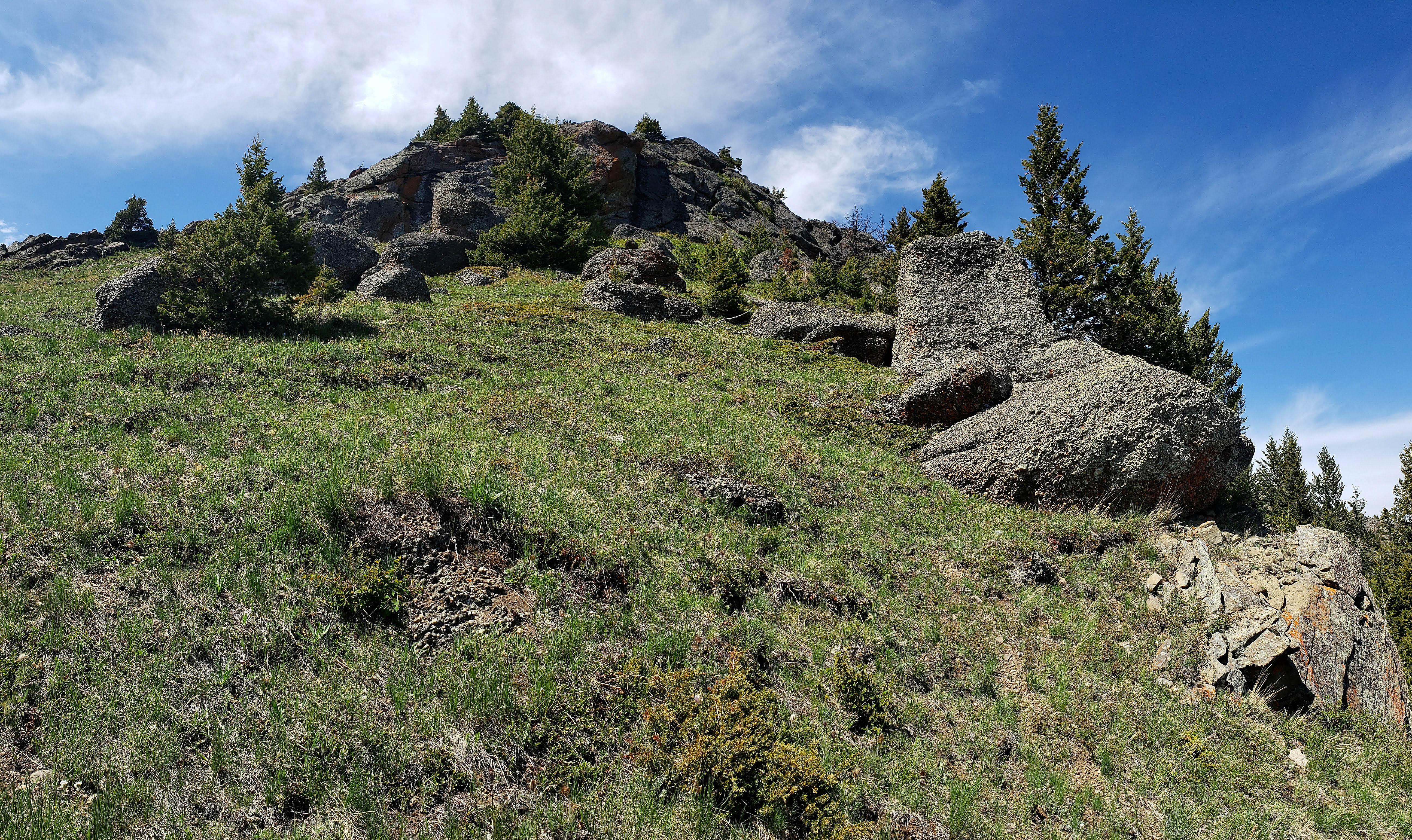
The summit is quite large, with three small bumps that are all roughly equal in elevation.

Looking back to the first bump as we hike along the summit.

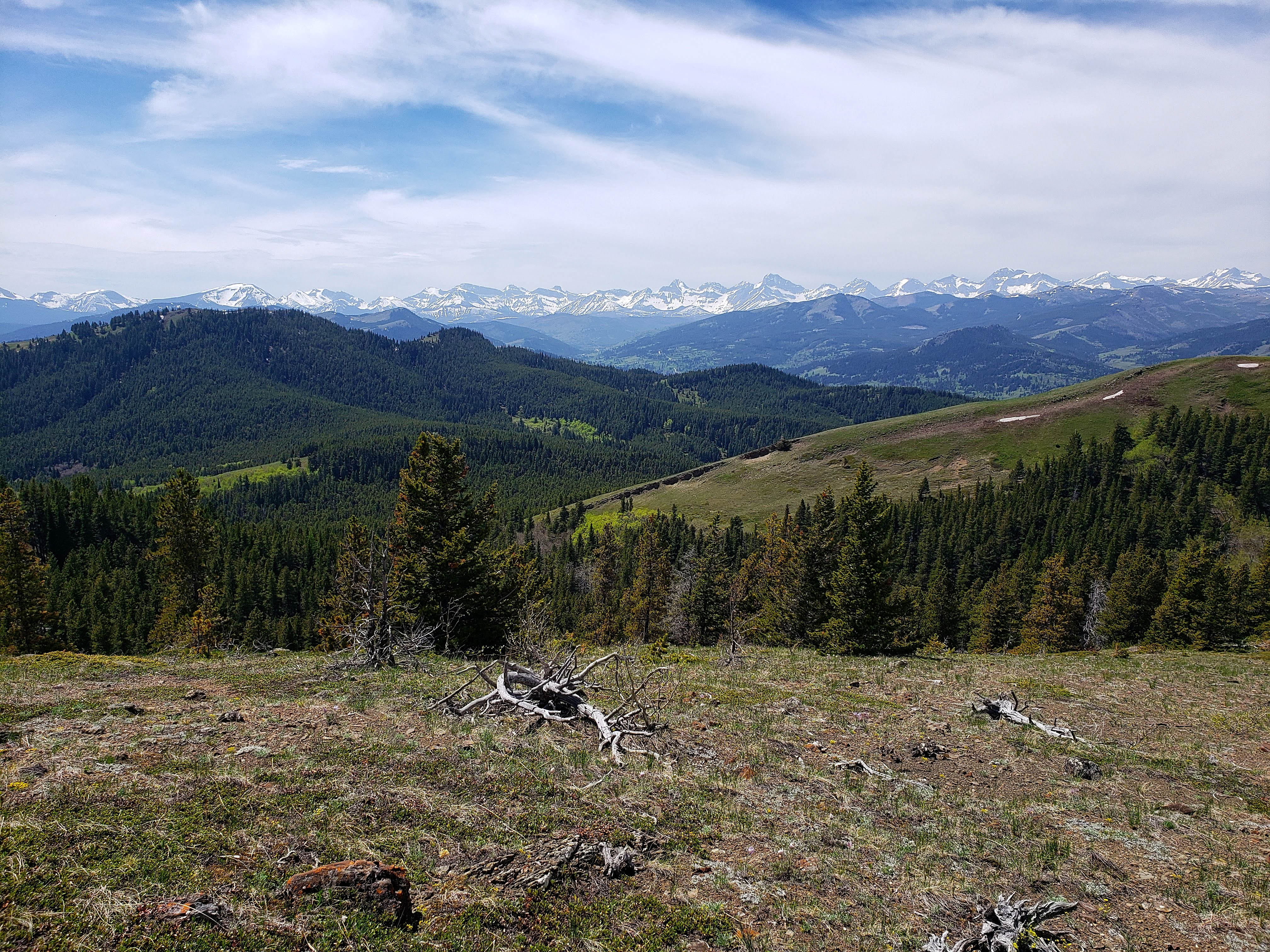
A pano to the south from the second bump. Mount Backus is in the centre.

A pano slightly to the southwest.

A pano to the west shows Brad standing on the third bump.

As there was no cairn, I hastily made one on top of the middle bump. I then named it Karen – yup that is Karen the cairn. 😂
Descending from the middle bump. (Photo by Brad Wolcott)
Another glance across the valley at “Blue Mountain”.

The third bump has the best views, and like the other two, my GPS pegged it at 1691 m.

You could follow that ridge all the way down to the road and walk back to your vehicle if you wanted to. In the background is Mount Backus.

A telephoto of Southfork Mountain (far left), Mount Haig, Gravenstafel Ridge, and the three peaks of Syncline Mountain.

A telephoto of Mount McCarty and Hollebeke Mountain with Carbondale Hill in the foreground.
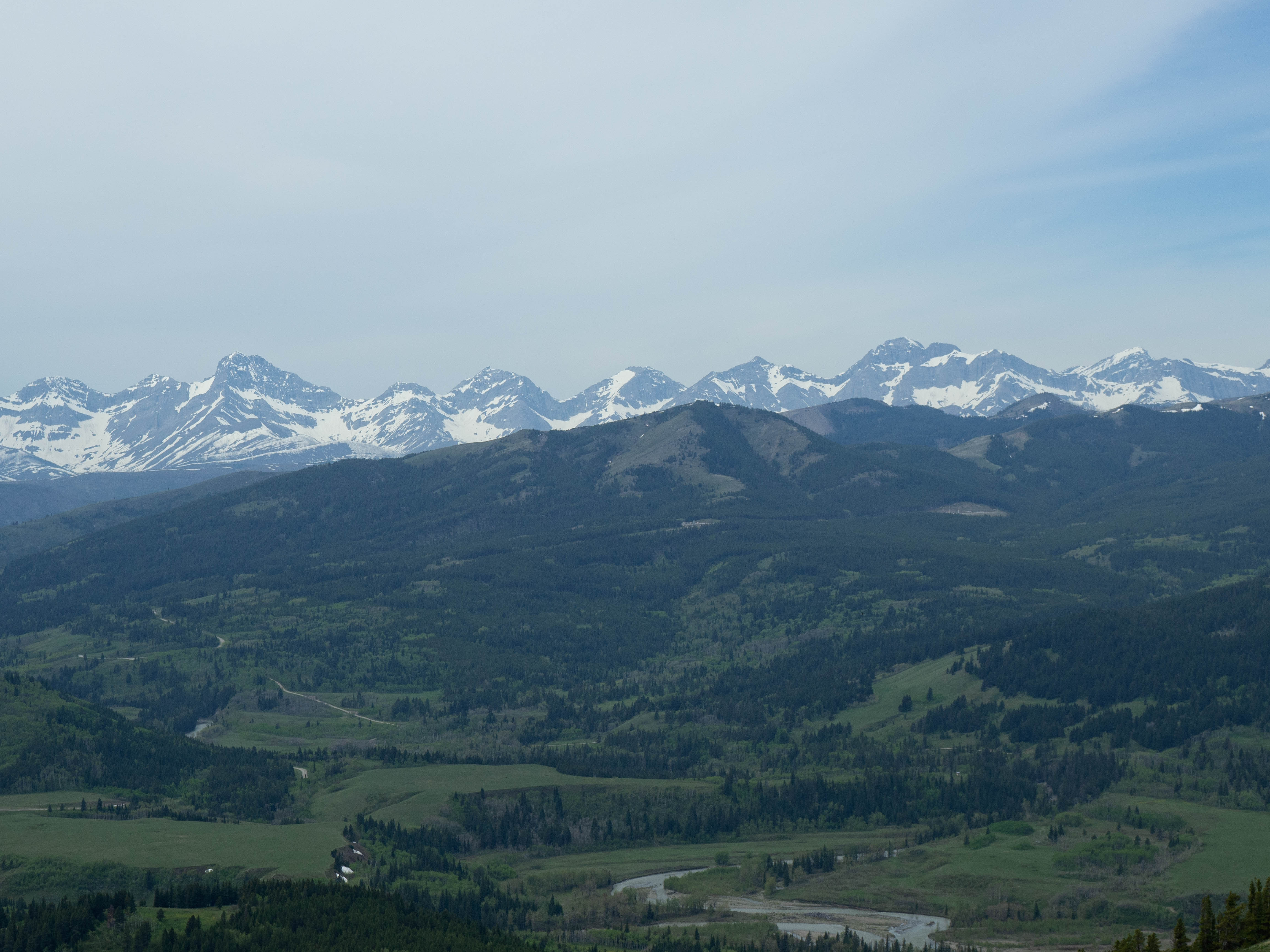
Mount Darrah is on the left with Mount Pengelly and Mount McGladrey in the centre.
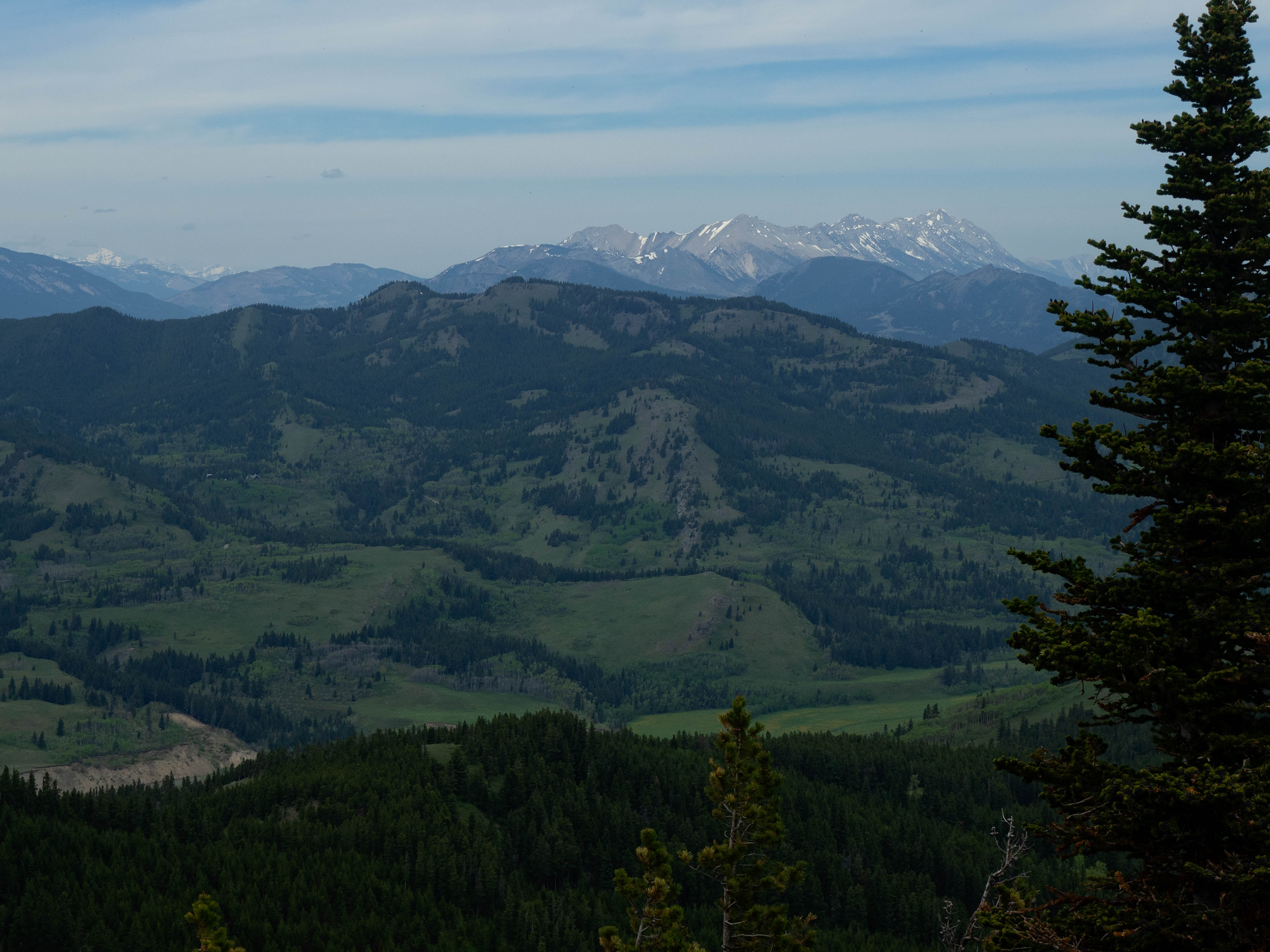
A telephoto of Mount Coulthard with Poker Peak in the foreground.

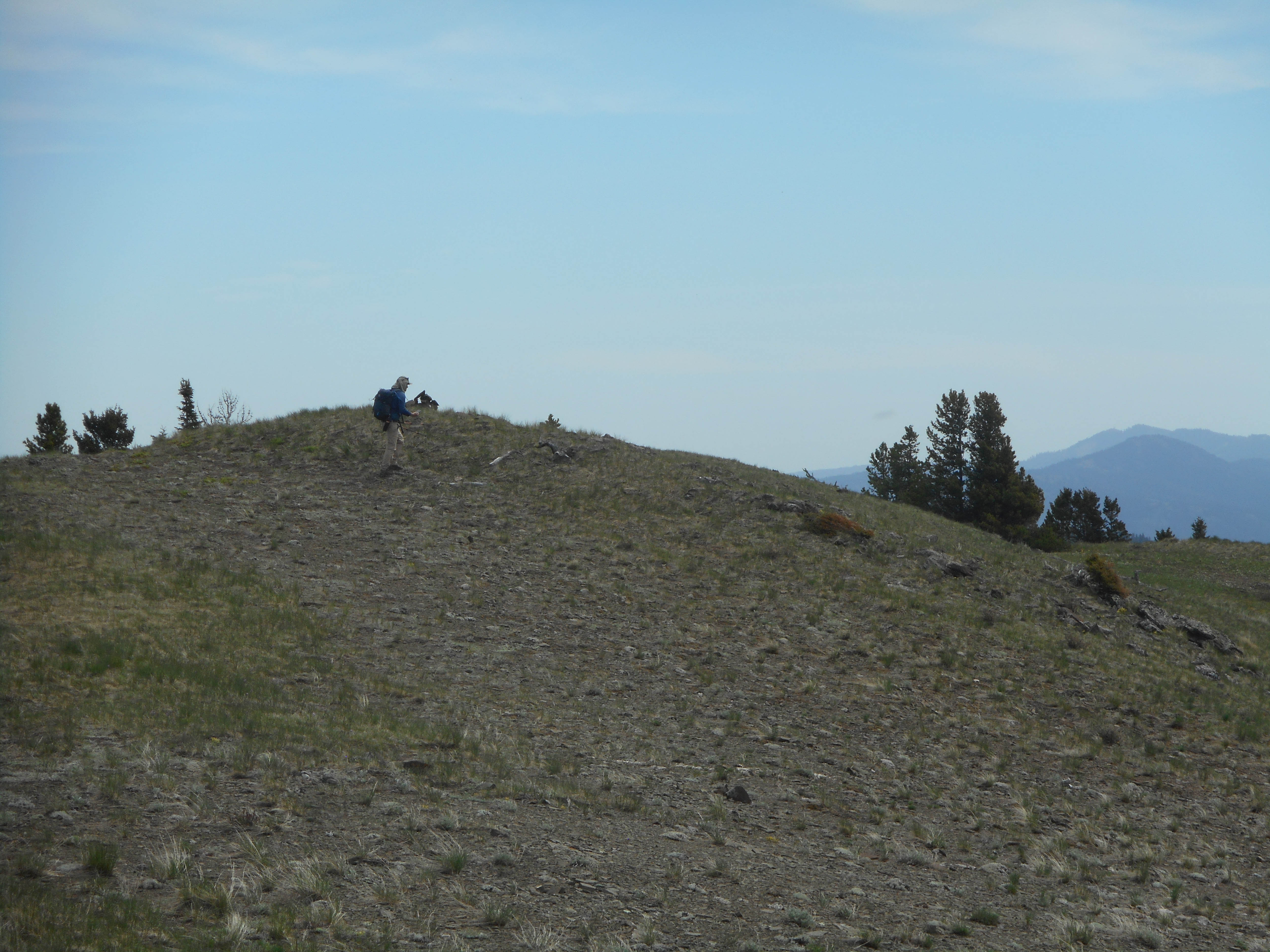
Looking across the col to a small highpoint along the ridge.
I think this is bergamot – that, or it is a large coronavirus. 😂

Looking back to the summit as we descend to the col.

This tree highlights the growth of a woodpecker, from only a few inches tall to a 3 m monster who roams the forest! 😂😂 Seriously though, this tree must have a large insect population living inside of it to attract this much attention – unless it is something human-made…?

A closer look at the largest hole. This was definitely a curiosity as no other trees in the area were marked like this.

Heading down a small drainage below the col.

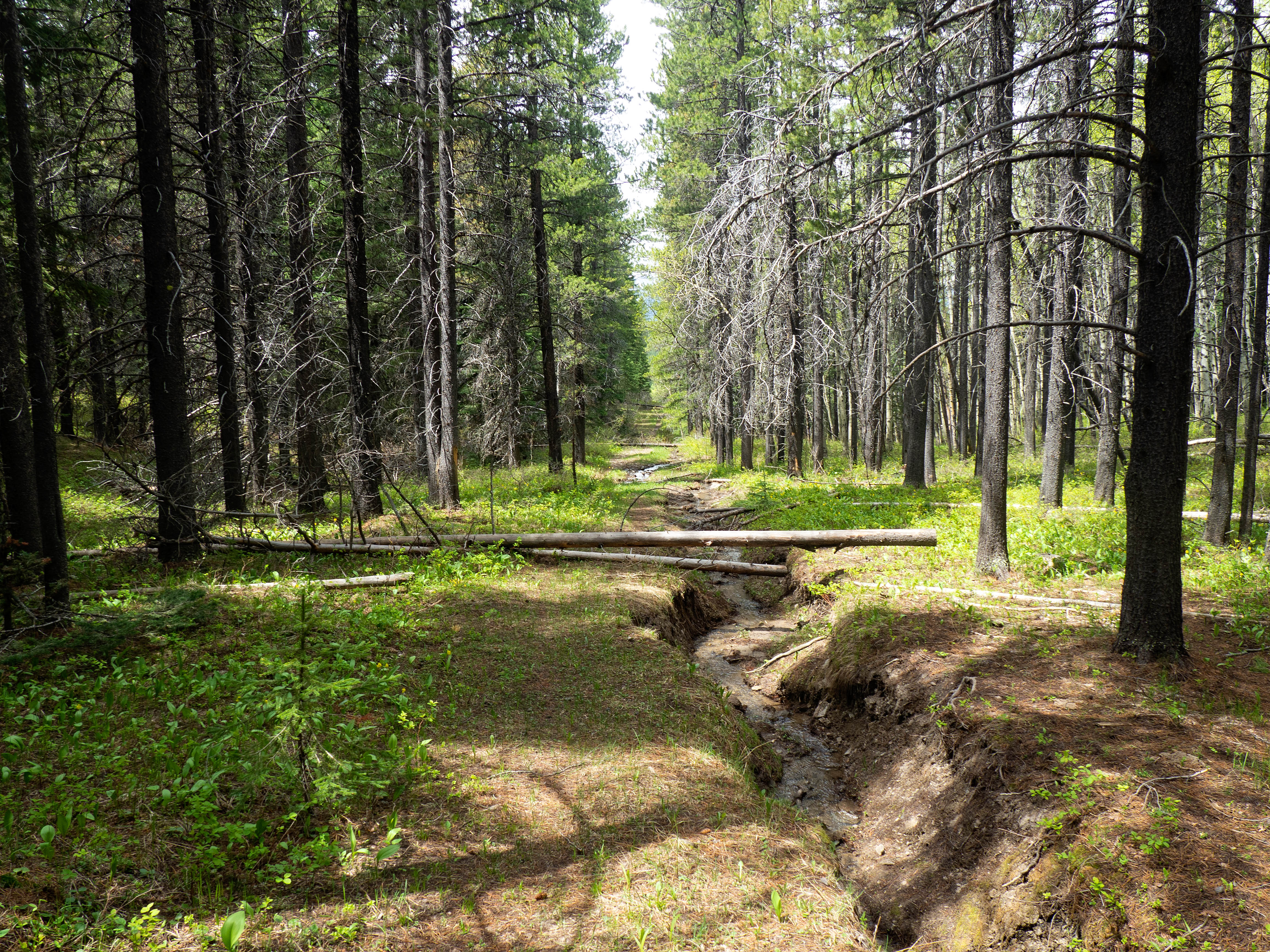
One of several little creeks that we would cross.

Venturing across an open meadow towards “Blue Mountain”.
Intersecting one horse trail…
…and then another.

Arriving back on the beautiful slopes of “Meadow Mountain”.
We would soon find a trail that led into the trees on the right. (Photo by Brad Wolcott)

Following the trail as we parallel the slope. There are many trails like this throughout the valley.

Glancing over to “Screwdriver Ridge” from the trail.

While the trail in the woods kept descending, our goal was to ascend the south ridge of “Blue Mountain”. So we left the trail and after only a few minutes of hiking towards the ridge, came across another trail that led us directly onto the south ridge.

Following the excellent trail alongside a small creek. For those interested, our conversation at this point had shifted from Victor Hugo’s Les Miserables (one of my favourite novels), to Fedor Dostoyevsky’s The Brothers Karamazov (one of Brad’s favourites) and the story within, The Grand Inquisitor . That tree with the holes in it, really messed with our minds… 😉

Getting close to the top of the ridge.

On the south ridge and looking north towards the summit of “Blue Mountain” (left).
Gazing to the northwest at the long ridge Brad nicknamed, “Meadow Mountain” (right) with “Screwdriver Ridge” on the left. The trail that we used came up through the trees in the foreground.
Enjoying a short ridge walk.
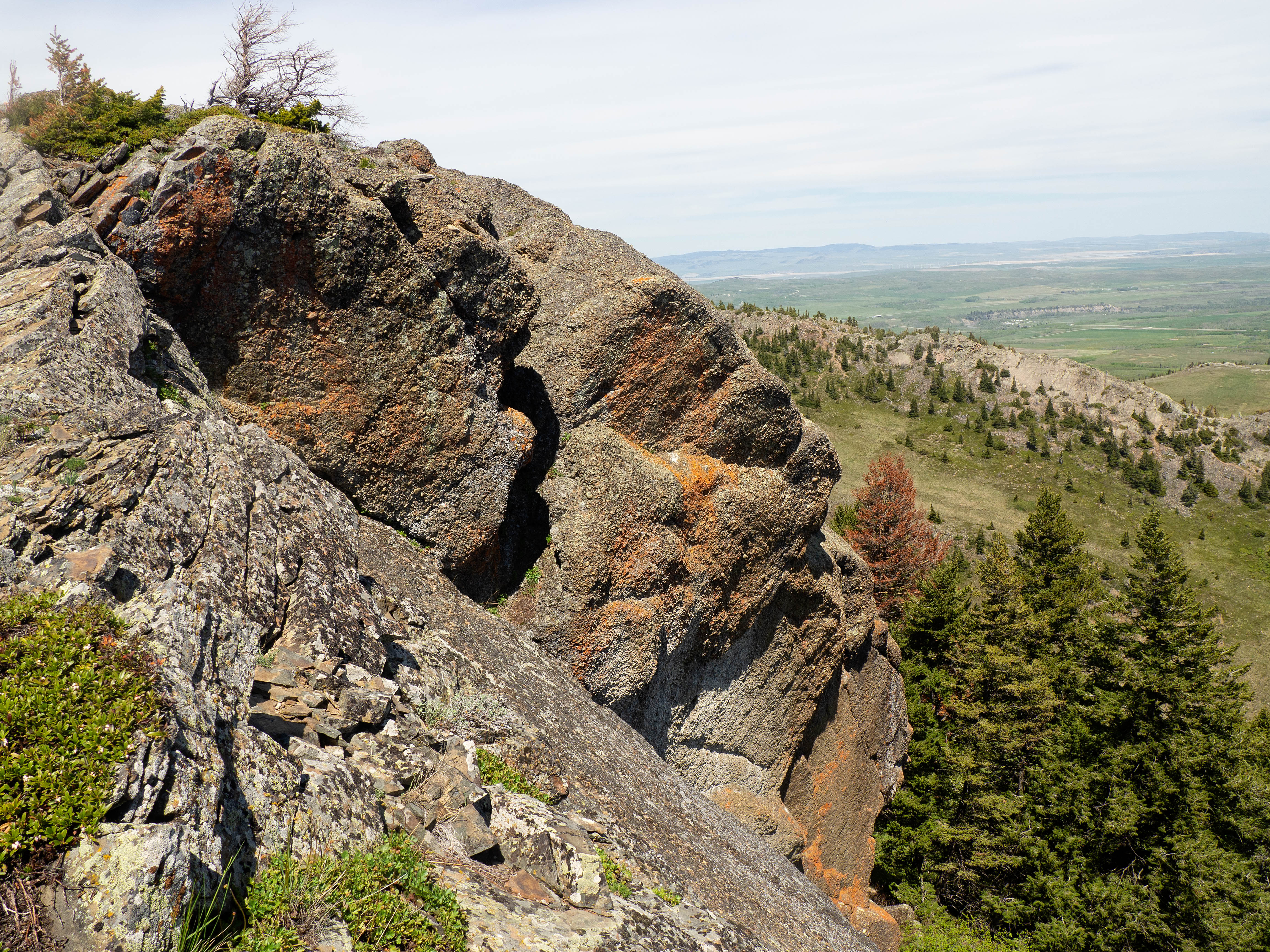
Brad approaches the large section of cliffs that are visible from the southeast ridge.

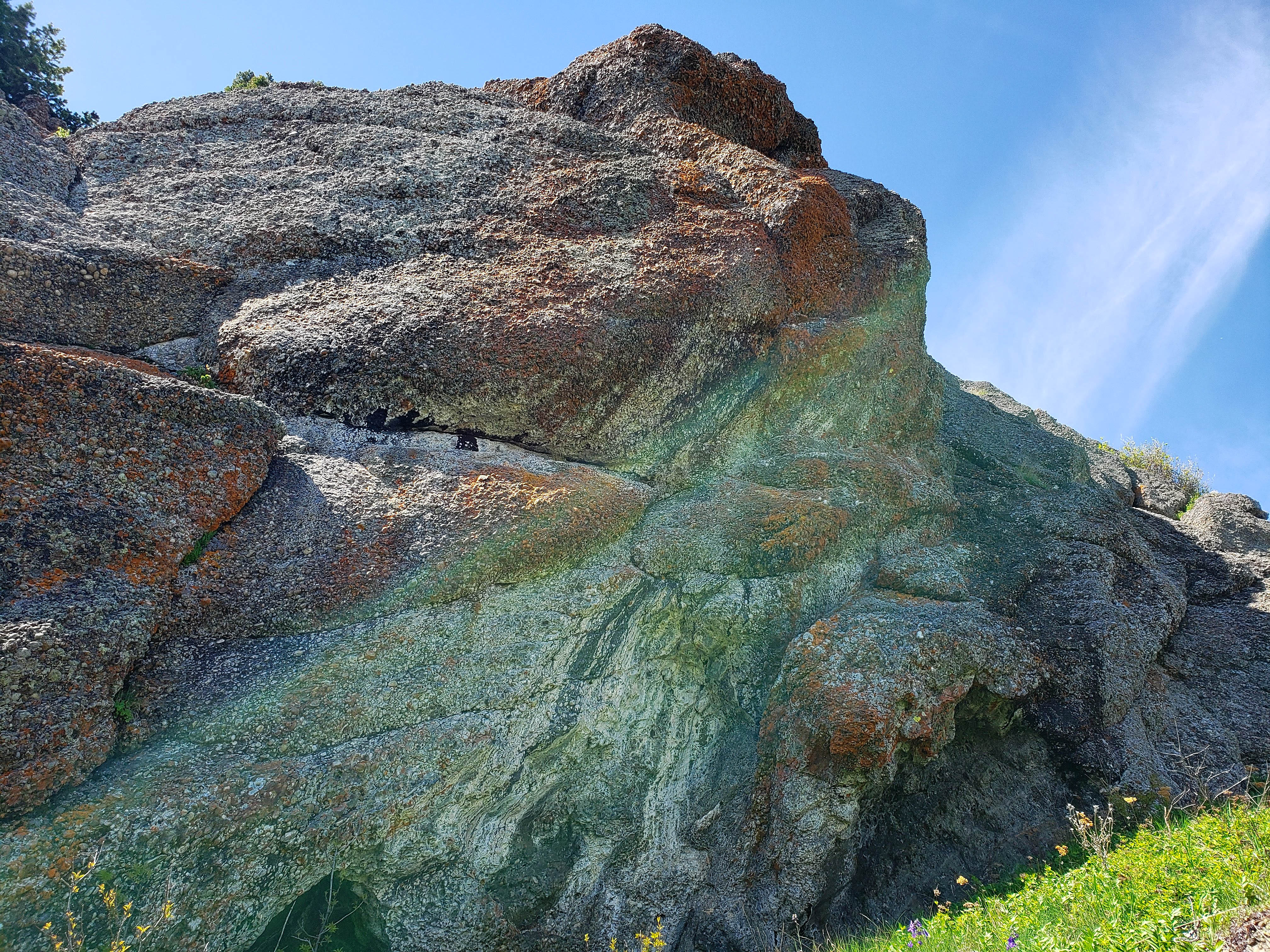
The rocks on the ridge are an interesting type of conglomerate.
One last look back at “Screwdriver Ridge”.

Brad inspects the impressive overhangs.

A closeup of the conglomerate that comprises the cliffs. (Photo by Brad Wolcott)

A pano shows the entire southeast ridge that we used on ascent.

Gazing down the remaining section of the south ridge.
More impressive rock.

We descended part way down the ridge, before looping back to check out the base of the cliffs again.

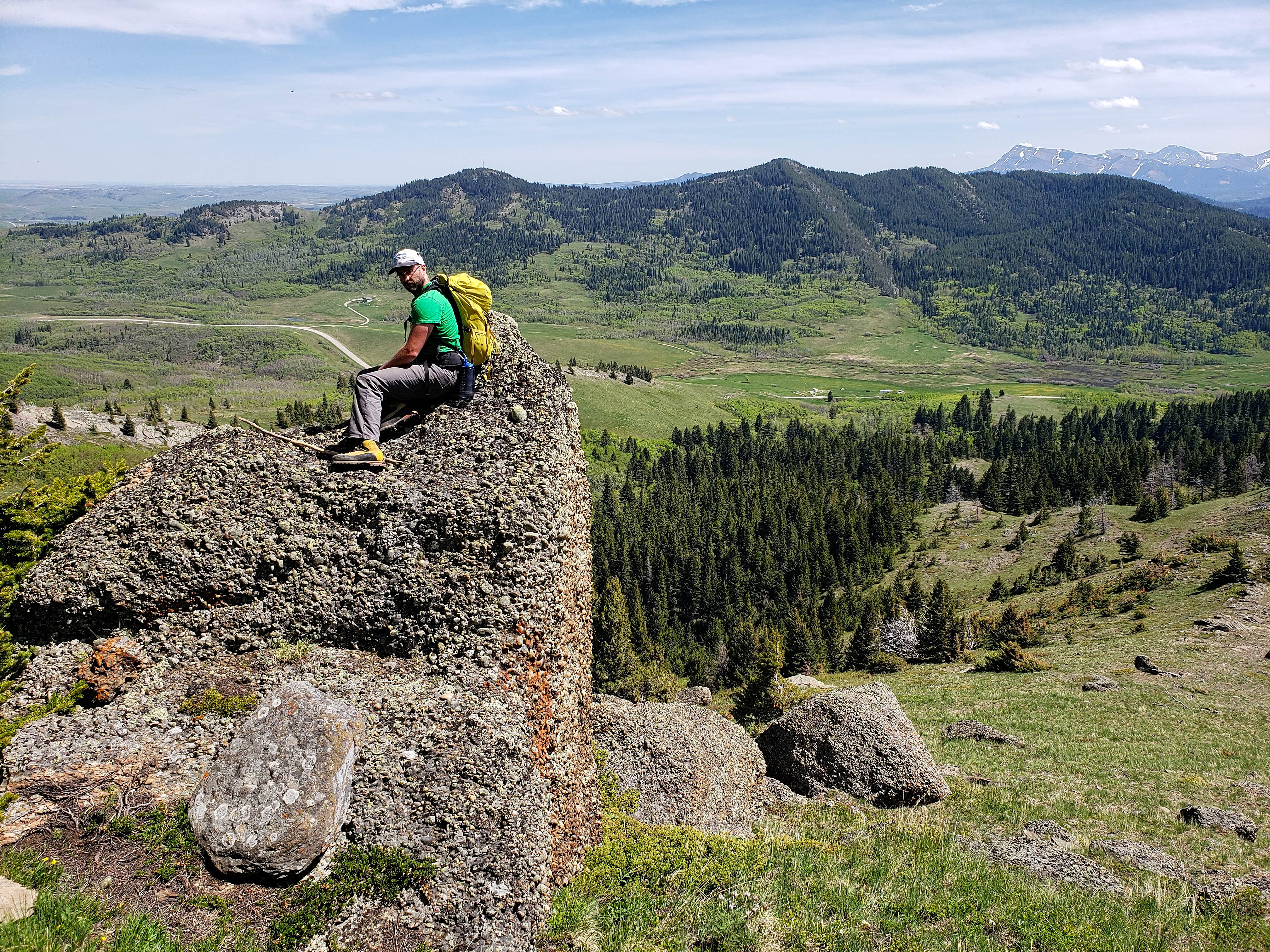
There it is! Andrew’s ‘Baboon Rock’! The only problem was that the sun was not at the right angle to accentuate its features.
Standing beneath ‘Baboon Rock’.
Brad checks things out from the top of a large chunk of conglomerate. Behind him is the ridge that runs behind Beaver Mines – which is all on private land and marked with numerous ‘No Trespassing’ signs.

Walking amongst the Castle’s version of Easter Island. (Photo by Brad Wolcott)
A pano of the area beneath the cliffs.

Descending down the ridge to the trail that will lead us back.
There is a fantastic trail that leads from the lower section of the south ridge, across the valley, over the southeast ridge, and all the way back to the gas road. My guess is that it is one of the trails we followed in the valley between “Screwdriver Ridge” and “Blue Mountain”.

The view from the trail up the valley between the two ridges.

One last look over at the south ridge.

Following the trail across the southeast ridge.
Heading down to the gas road.

The trail emerges from the trees about ~400 m north of the cutline that we used to ascend. The three small signs in the centre can be used as a marker to locate the trailhead.

Arriving back at our vehicles after a loop of 13 km and a time of 6 hours and 21 minutes. This was a fantastic day on so many levels! Not only was it great to be back in the mountains and celebrate the ‘all clear’ from my doctor, but to share it with a great friend like Brad made it all the more special. This was my third ascent of “Blue Mountain’ and each time I have thoroughly enjoyed it. The chance to explore the surrounding area and incorporate “Screwdriver Ridge” into a loop, was definitely a highlight, especially at this time of the year when so many wildflowers were in bloom. Though the local ranchers may call it ‘Blue Mountain”, it is anything but depressing! It is in fact, a great respite and refuge on the edge of the Castle.
Wow! Love the photo story.
Thank you! Your blog looks really interesting and I’m excited to go through it!
Hi Dave
Great to hear that everything went so well and to see you ‘back in the saddle’ hiking.
Thanks Terry! Perhaps we can connect for a hike this summer?
That is a grand idea. I will be down in that area for most of July and August so let’s connect then!
The mountains are calling!
Excellent!
That’s a really nice post with great photos too.
Thank you!!