
⚠️ Hiking and scrambling are inherently dangerous activities. Please read my Disclaimer. ⚠️
After heavy rain chased Brad and I off Festubert Mountain at the beginning of August, we were anxious to return under better conditions. Like our first attempt, our plan was to bike the entirety of Snowshoe trail before making the quick hike up to Twin Lakes and the Bauerman / Kishinena col. From there, we would follow the trail through Blue Grouse Basin to its junction with the trail leading up to South Kootenay Pass. Once at the Pass, we would use easy slopes to gain the long ridge leading to the summit of Festubert.
Back in August, we’d set off with the hope that the forecast would be accurate and that the rain from the previous day would clear out by early afternoon. However, it didn’t cooperate and by the time we arrived on the ridge to Festubert, we found ourselves in monsoon-like conditions with strong winds, driving rain, and plummeting temperatures. We tried waiting it out under some trees, but as we were thoroughly soaked, continuing on would have been foolhardy and reckless.
Today, the forecast called for optimal conditions including little to no wind, which is really important when considering such a long and open ridge walk. Though the sky might be blue, the wind can easily make things miserable, so we were excited for a more placid experience. As Festubert marked the last official summit that I had to complete in Paahtómahksikimi (Waterton), we were also excited that Andrew could join us for the celebration.
Like other mountains in the area, Festubert was named after a battle involving the Canadian Expeditionary Force (CEF) during the First World War. Shortly after the Canadians saw their first major action at the Second Battle of Ypres in April 1915, they were hastily reorganized for an assault on German positions near the village of Festubert, France. (source) Having lost 6,000 of 10,000 men at Ypres, the CEF hastily drafted new soldiers at the beginning of May to replenish the ranks for the new offensive. Unfortunately, most of the new officers and soldiers had little combat or firearms experience. (source)
When the attack began on 13 May 1915, the Canadians, who were led by British Lieutenant General Edwin H. A. Alderson (for whom Mount Alderson is named), were poorly prepared with unreliable maps, a lack of artillery support, and unfavourable terrain. (source; source) Unsurprisingly, this and a subsequent attack a month later at the village of Givenchy, resulted in another 2,868 Canadian casualties with little to no ground gained. (source) The stalemate and attrition that would characterize the war had begun in earnest.
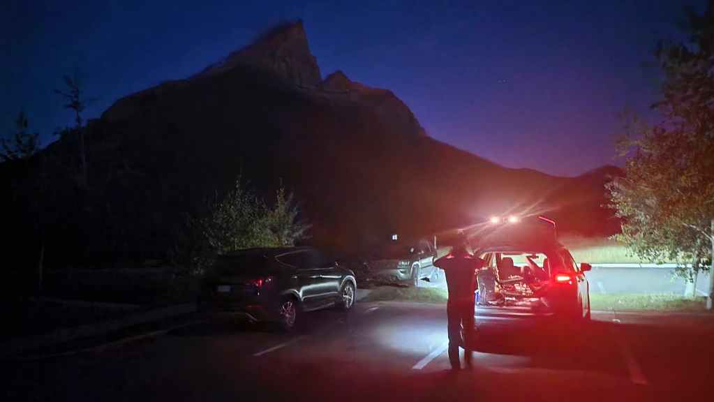
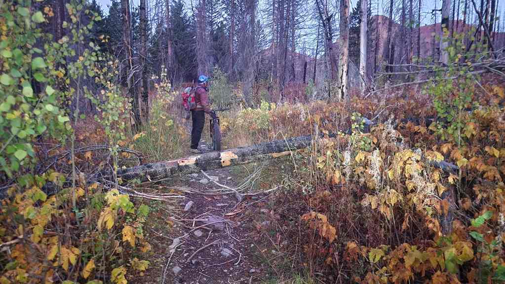
Returning to this morning and our own mission to Festubert, we started out on bikes from the Red Rock parking lot shortly before sunrise, using headlamps to illuminate the trail. While Brad and I were able to spot a tree that had fallen across the path not far from the trailhead, Andrew, who was several minutes behind us in leaving, did not.
Once we were a fair distance down the trail, we began to wonder why Andrew and his e-bike had not yet caught up to us. When he finally did, we were shocked to learn that he did not see the log in time and had flipped over the front of his bike, landing awkwardly beside the trail with his bike coming to rest upside down on its seat and handlebars.
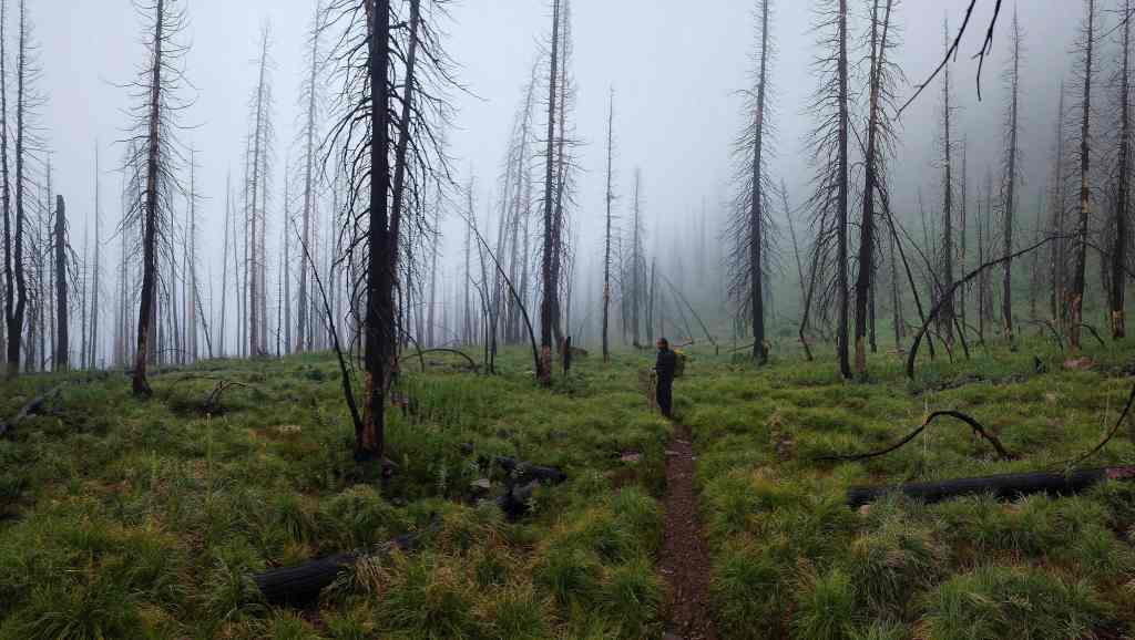
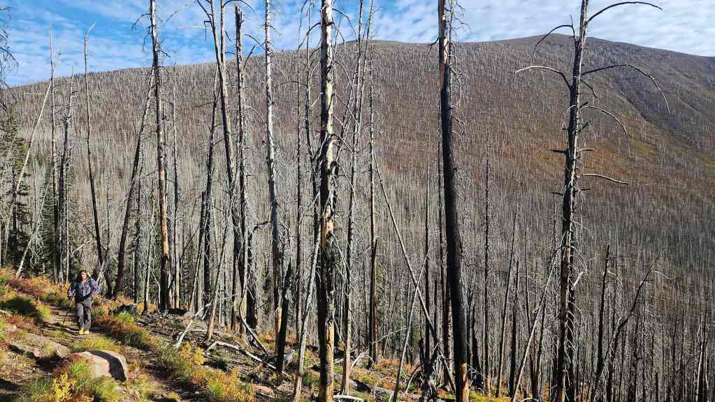
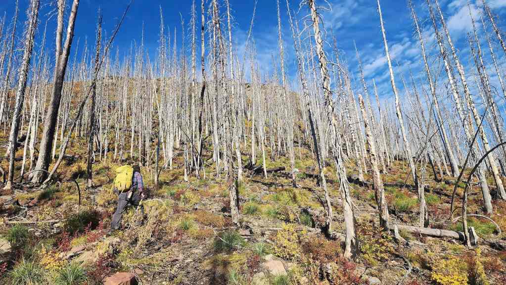
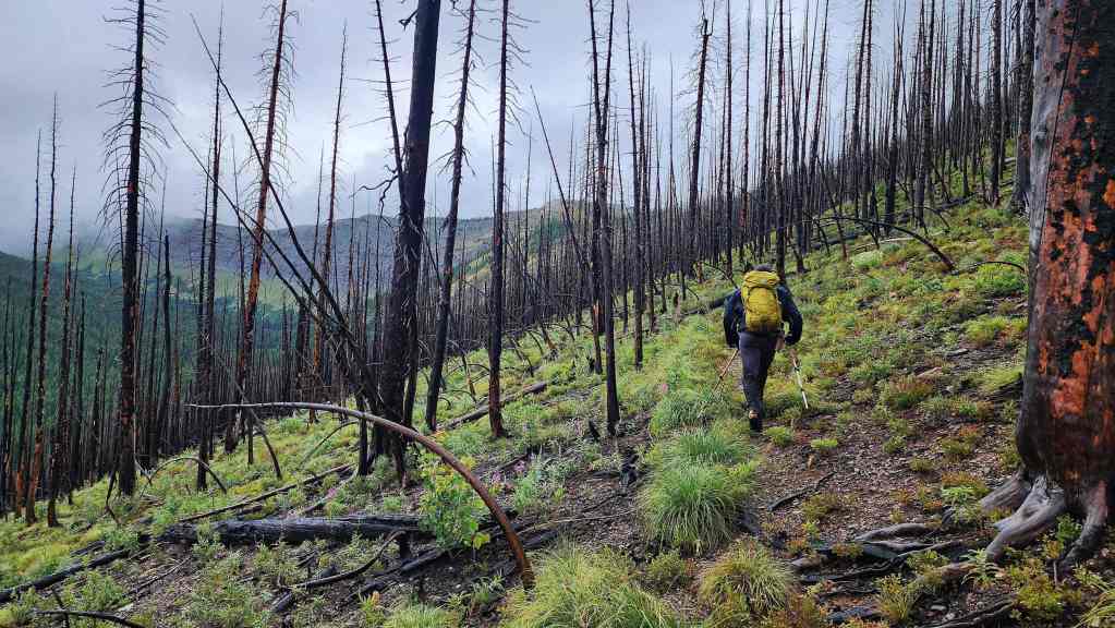
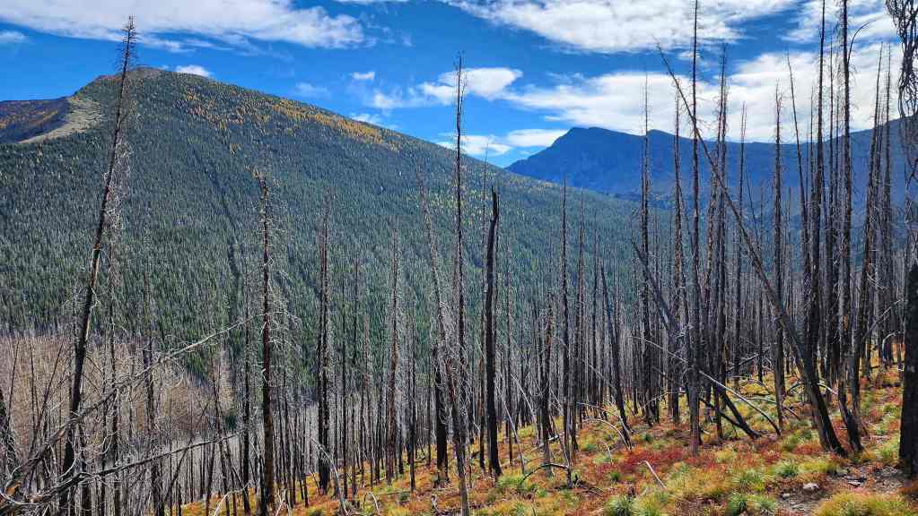
In fact, we encountered about a dozen trees across the trail between Red Rock and the Goat Lake trail junction. These must have come down during a windstorm a few days prior and unfortunately, this probably means that the dead, standing trees from the Kenow wildfire in 2017, are starting to fall more frequently.
After reaching the end of the Snowshoe trail, we helped Andrew patch a nasty elbow scrape that he’d received in the crash. We then set off on foot towards Twin Lakes. It was only after reaching the campground beside Upper Twin Lake, that Andrew let on that his knee had also been injured in the crash. The dude is seriously tough and it was only after ~3.7 km of hiking that he even mentioned this injury. 😯
It was shortly after this and on the trail up to the Bauerman / Kishinena col, that Andrew decided his knee was in no shape to continue on. Though Brad and I were fully prepared to call it a day and return with him, he assured us that he would have no trouble making the hike back to his bike and that we should keep going. Knowing Andrew, the fact that he turned around meant he was in much more discomfort than he let on, but he was also wise enough to not to push through something that might become more aggravated as the day went on, especially in a remote location like Festubert. Thankfully it appears that his knee was only badly bruised; though the crash could have easily been more serious.
Perhaps as the last casualty of the Battle of Festubert, he’s now eligible for a veteran’s pension? 😂 At any rate, Brad and I really missed Andrew’s company throughout the day and were relieved to hear via text that he had made it back without issue. When Brad surprisingly produced a bottle of bubbly on the summit to celebrate my completion of all the official peaks, it was disappointing not to have Andrew join in. Though as a tribute, I ended up drinking his share of the bottle as well as my own because I’m just that good of friend. 😂
With all this said, I’m thankful for two great friends and the opportunity to once again be outside and in the mountains. The route up Festubert from South Kootenay Pass is long but very easy and very enjoyable when the weather is perfect like it was today. Having the bikes to cruise back on at the end of the day, sans the fallen trees, mitigates a big chunk of the extra distance and time. It also looks like our previous speculation about a potential scrambling route up from Lone Lake is not out to lunch. From the summit we could see what appeared to be a moderate to difficult route that was comprised of several good ledges. I’d like to come back and try this one day. 🙂

To get to Festubert Mountain, we drove to the Red Rock Canyon parking lot where we accessed the Snowshoe trail. From the trailhead we biked for ~8.5 km (1 hour; 287 m elevation gain) until we reached the end of Snowshoe and the sign for the Twin Lakes trailhead. From here, we hiked for ~3.7 km until we reached the first of the Twin Lakes (45 minutes; 223 m elevation gain). We continued along the trail for another ~1 km until we reached the Bauerman / Kishinena col 2 hours and 20 minutes after leaving the Red Rock parking lot.
From the col we then made the gradual descent into Blue Grouse Basin, reaching the small tarn after an easy ~1.2 km hike. We then followed the trail for another ~1 km until we arrived at the junction with the Blackiston trail and the trail to South Kootenay Pass. This took us all of 30 minutes from the Bauerman / Kishinena col.
The 1.7 km trail up (194 m elevation gain) to South Kootenay Pass is vaguely defined and as we discovered on our August trip, consists of a series of long switchbacks that are probably designed for horse travel. On this trip, we saved considerable distance by simply heading straight up from the third switchback until we reached the uppermost section of the trail.
We arrived at South Kootenay Pass exactly 3 hours and 17 minutes after leaving the Red Rock Parking lot. From the Pass, we then headed south and through the trees, following a sporadic path, until we were on the ridge.
Once on the ridge, it was an enjoyable ridge walk to reach the summit with any scrambling easily avoided. For reference, from South Kootenay Pass, it took us 2 hours and 20 minutes over ~4.3 km (493 m elevation gain) to reach the summit.
After a leisurely ~45-minute lunch break on the summit, we returned the way we came, arriving back at South Kootenay Pass after only 1 hour and 15 minutes of hiking. We then followed our same route back to Twin Lakes and then back to the Red Rock parking lot.

Our total roundtrip distance was 41.6 km with a total elevation gain of 1680 m. Our total roundtrip time was 9 hours and 36 minutes which includes a ~45-minute lunch break on the summit. For reference, it took us 4 hours and 55 minutes to reach the summit from the Red Rock Parking lot and 3 hours and 52 minutes to return.
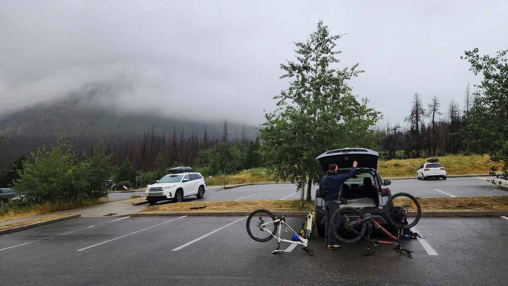
Gearing up in the Red Rock parking lot.
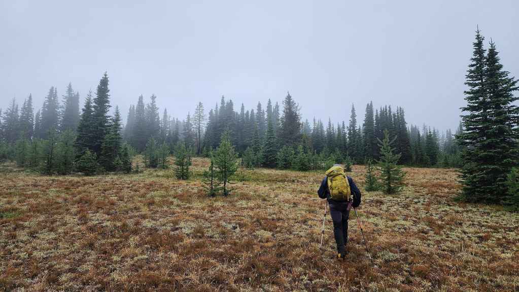
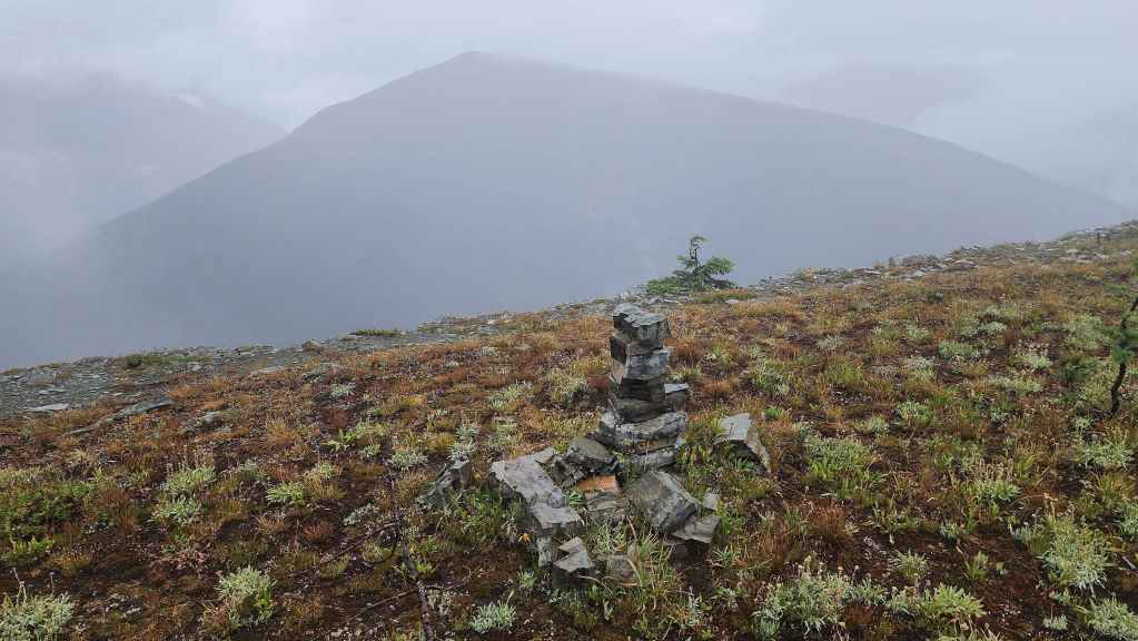
The same view at roughly the same time on our August 7th attempt at Festubert. The weather was miserable for the entire trip.

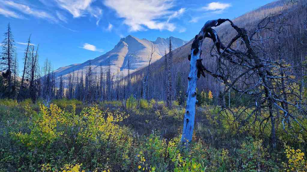
Back to today and an early morning view of Piinaquiium / Ahkoinimahstakoo (Mount Blakiston).
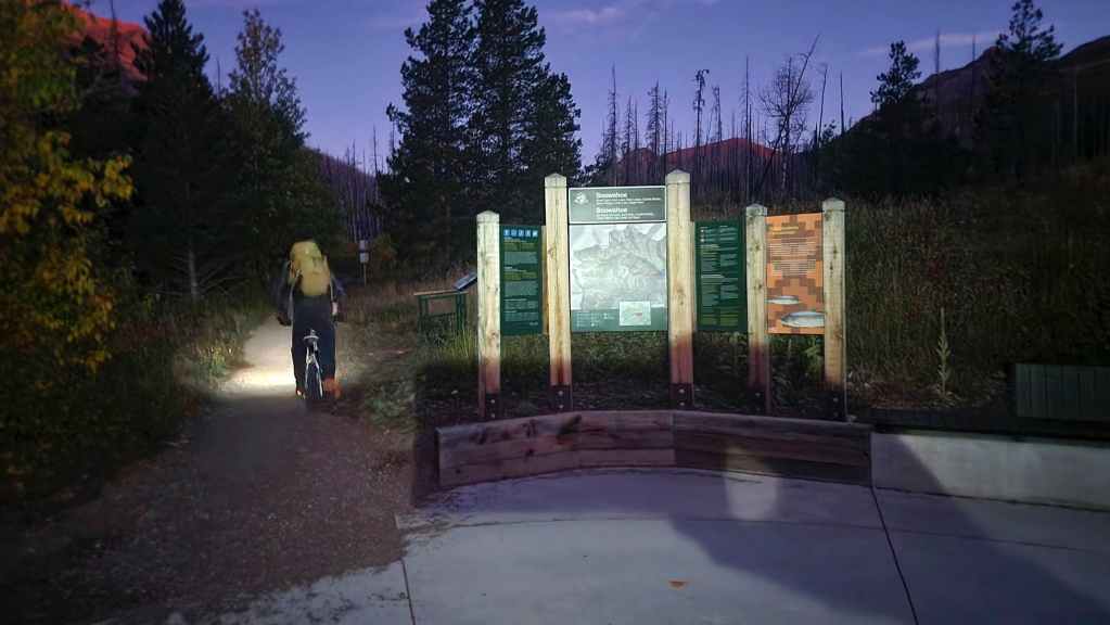
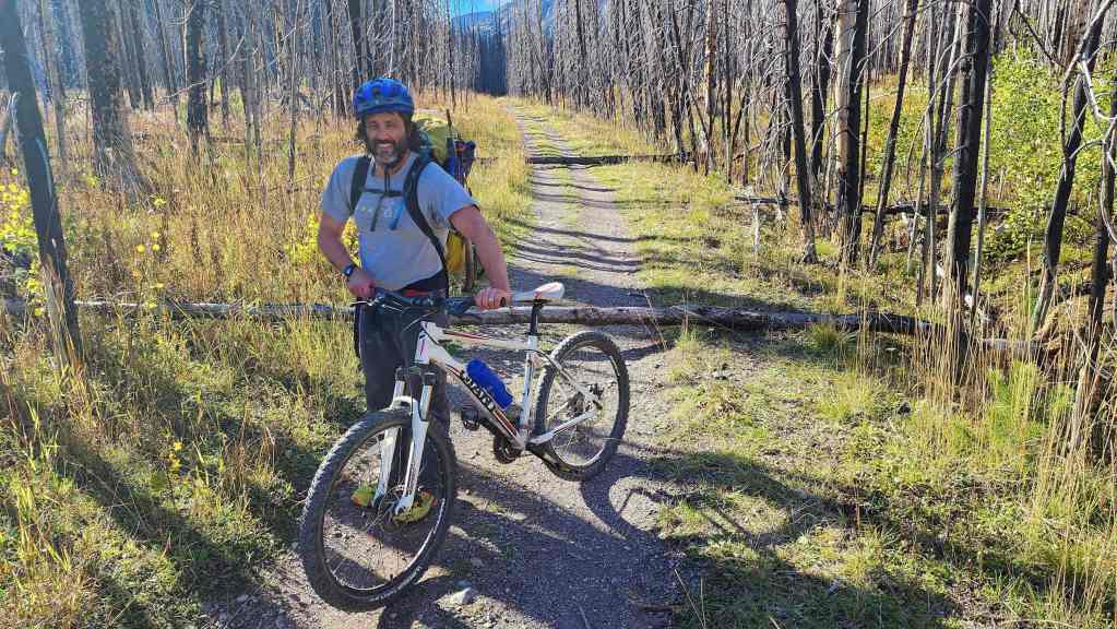
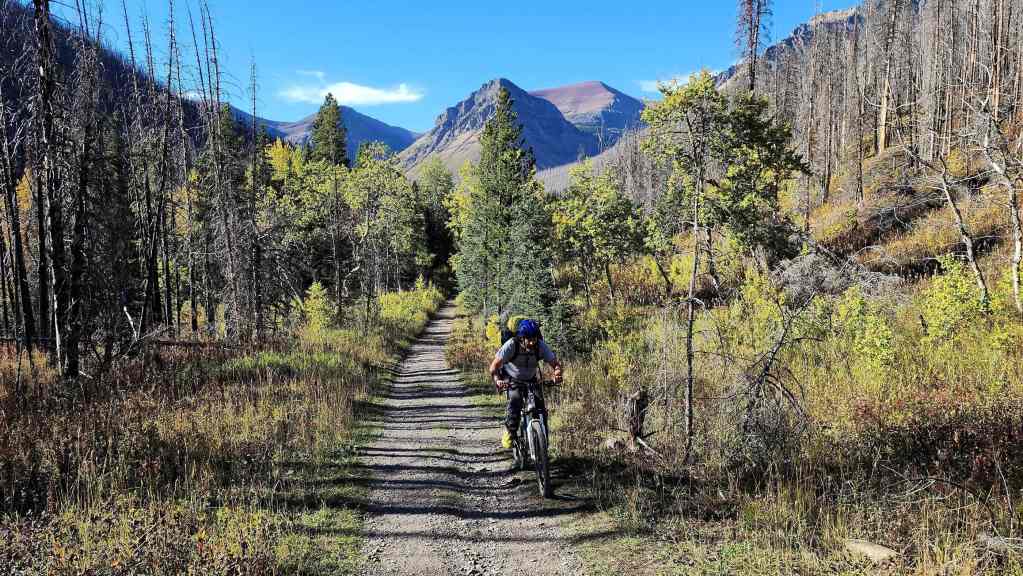
Starting off down the Snowshoe trail. As he had an e-bike and could easily catch up to us, Andy would leave several minutes after Brad and I. Unfortunately, he would not see a tree that had fallen across the path near the trailhead which resulted in a serious crash.
Back on his bike and now caught up to us, Andy avoids an even bigger log further down the trail.

Between the Red Rock parking lot and the Goat Lake junction, we encountered about a dozen trees that had fallen across the trail. The windstorm a few days prior was probably the culprit; though this undoubtedly signals that the dead, standing trees from the 2017 Kenow wildfire are becoming unstable.
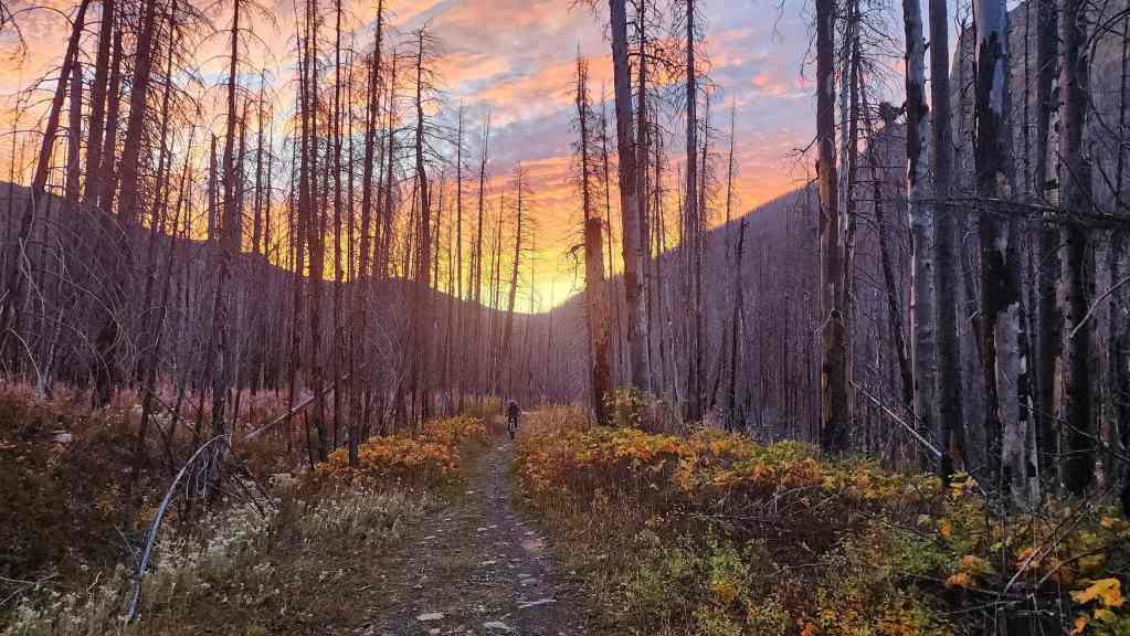
Sunrise along the trail.

Looking over at “Kootenai Brown Peak” (centre) and Mount Bauerman (right).

The first rays of sunlight on Avion Ridge.

Despite his serious crash, Andy was his usual cheerful self.

Arriving at the Snowshoe hut ~8.5 km and 1 hour after starting.

The last casualty of the Battle of Festubert. 😂
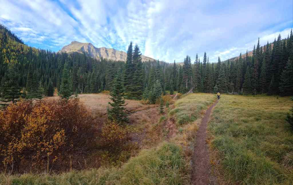
Beginning the hike up to Twin Lakes.

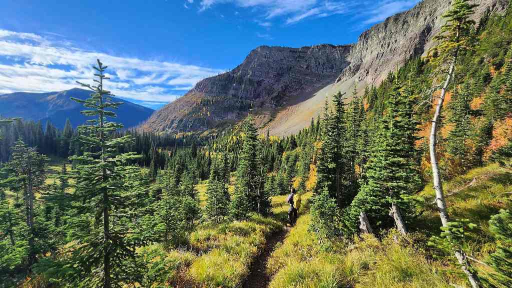
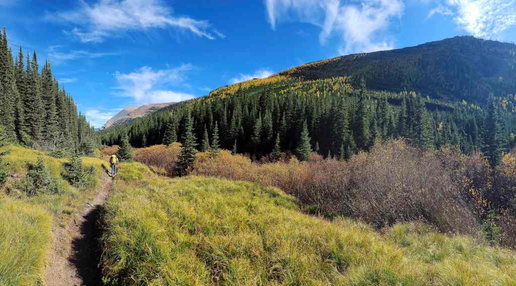
The lower section of the trail is nice…

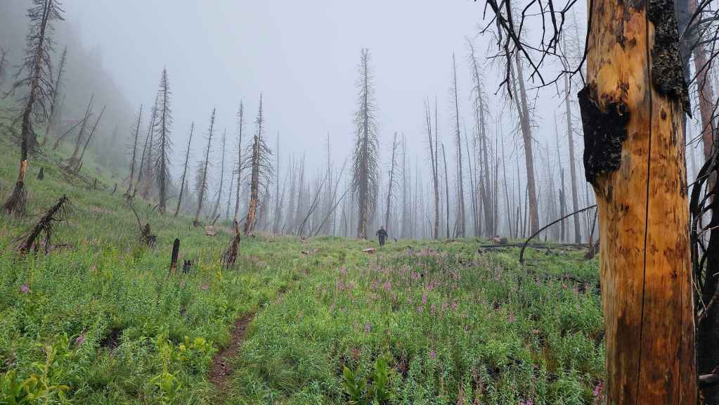
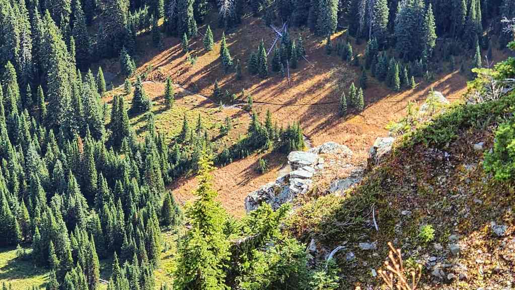
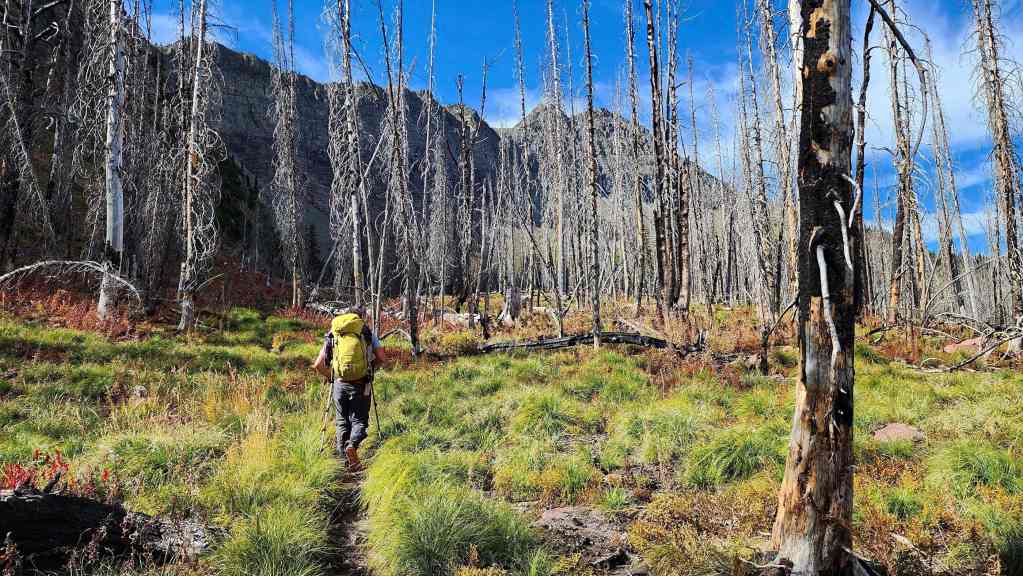
But it soon gives way to open meadows. This and the trail through Blue Grouse Basin are two of my favourite hikes in the Park.

Getting a good look at Kishinena Peak.
This is what it looked like from roughly the same location back in August.
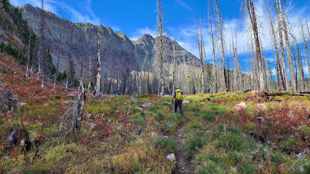
Continuing along the trail.

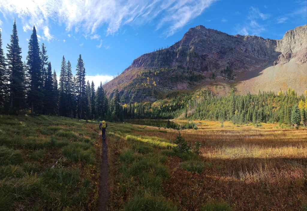
Arriving at Upper Twin Lake.

The view this morning…

Compared to our view back in August.

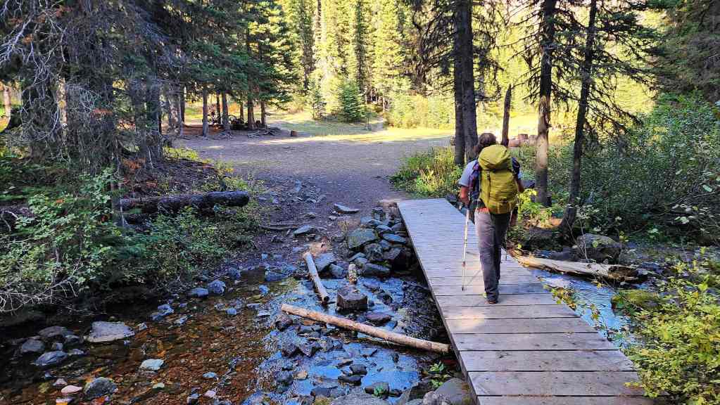
Passing through the campground. Kishinena Peak is in the background.

Unlike our August 7th attempt, the forecast was shaping up to be highly accurate. What a gorgeous time of the year to be in the mountains! 🙂 (Photo by Brad Wolcott)

Heading up to the Bauerman/Kishinena col.

Another look at Lower Twin Lake. (Photo by Brad Wolcott)

Andy waves goodbye after determining that his injured knee was getting worse. This was hugely disappointing but at the same time, it was the wise decision. We found out through text that he had no trouble making it back to his bike and then his truck. Thankfully, it appears that his knee was only badly bruised as things could have been much more serious.
The view down to Lower Twin Lake as we near the col. (Photo by Brad Wolcott)
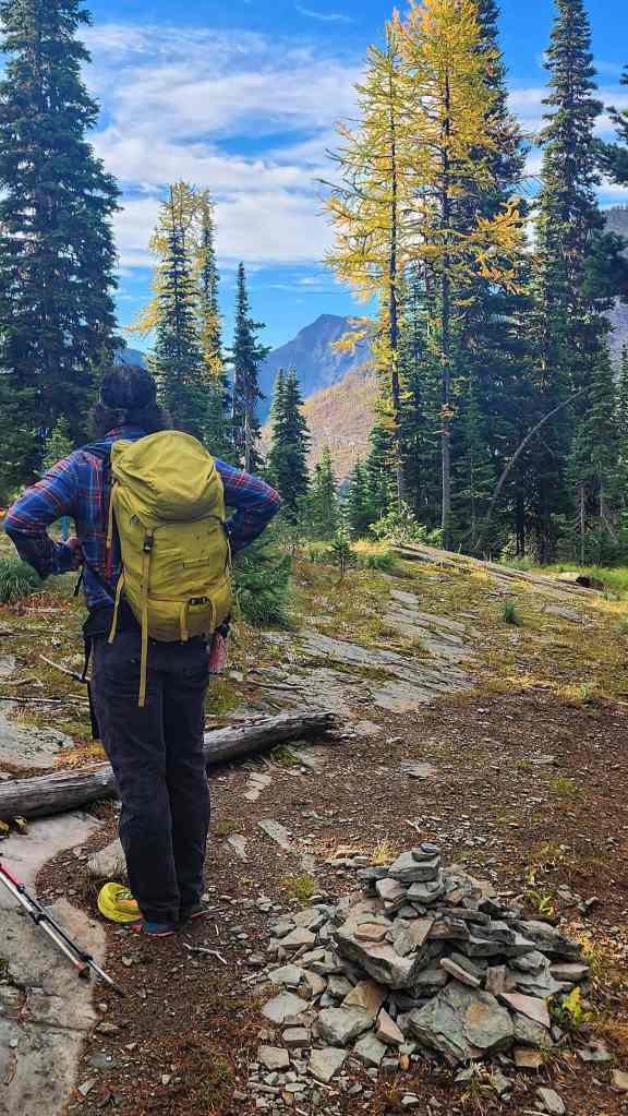
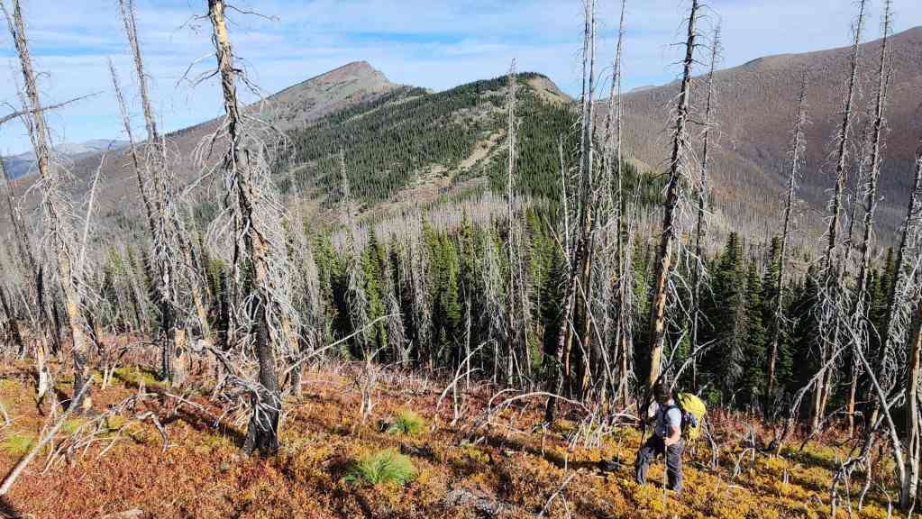
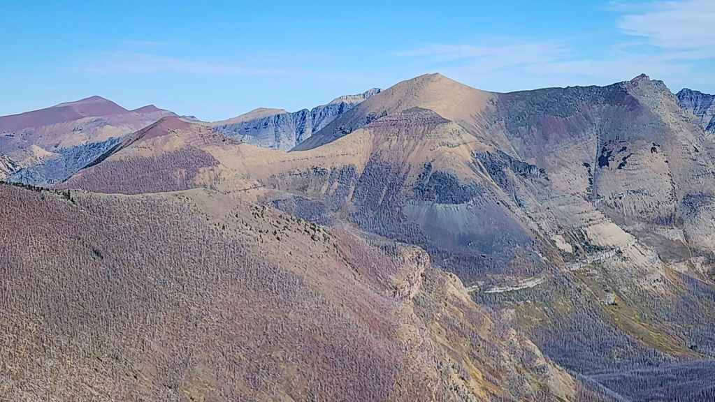
At the Bauerman/Kishinena col and looking towards the summit of Festubert (centre). It took us 2 hours and 20 minutes to reach this location from the parking lot.

Descending into Blue Grouse Basin.

What it looked like during our August trip.
Blue Grouse Basin isn’t huge but I think it’s one of the coolest places in Paahtómahksikimi (Waterton).
Besides the scenery, the other advantage of using this route to access Festubert and Lone Mountain (left), is the trail’s minimal elevation loss.
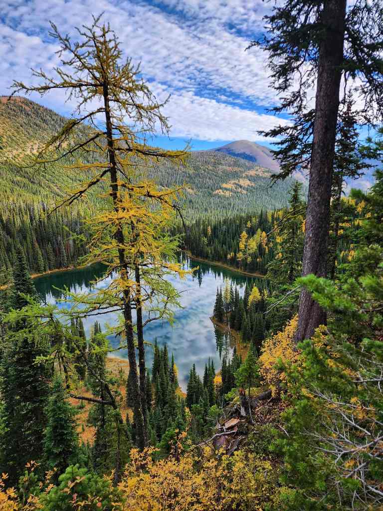
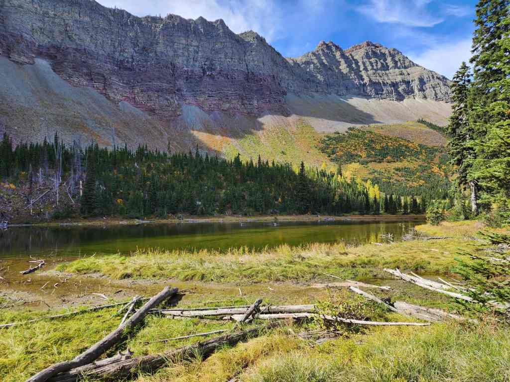
A quick 20 minute walk from the col brought us to the Basin’s tarn.

The same view from our August attempt.

A better look at the tarn.
Heading to the junction with South Kootenay trail. (Photo by Brad Wolcott)
The same view from back in August. By this point, we were already soaked.

The view back…
Followed by a similar shot from August.

Arriving at the junction with the Blakiston trail.
The view over to Mount Bauerman from the same vantage as the previous photo.

South Kootenay trail is located only a few metres past the Blakiston junction. For reference, it took us only 30 minutes to reach the junction from the Blakiston/Kishinena col. The summit of Festubert is on the left.
On our August trip, we discovered that South Kootenay trail has several long switchbacks and in spots, seems to almost disappear. I doubt it sees much traffic. 🤔

Following the faint trail. We’d soon make the decision to avoid its lengthy switchbacks by heading directly up. (Photo by Brad Wolcott)
The same view from August with Brad playing ‘find the trail’. 😂 At this point, we were lulled into thinking that sky was clearing. Boy were we wrong!

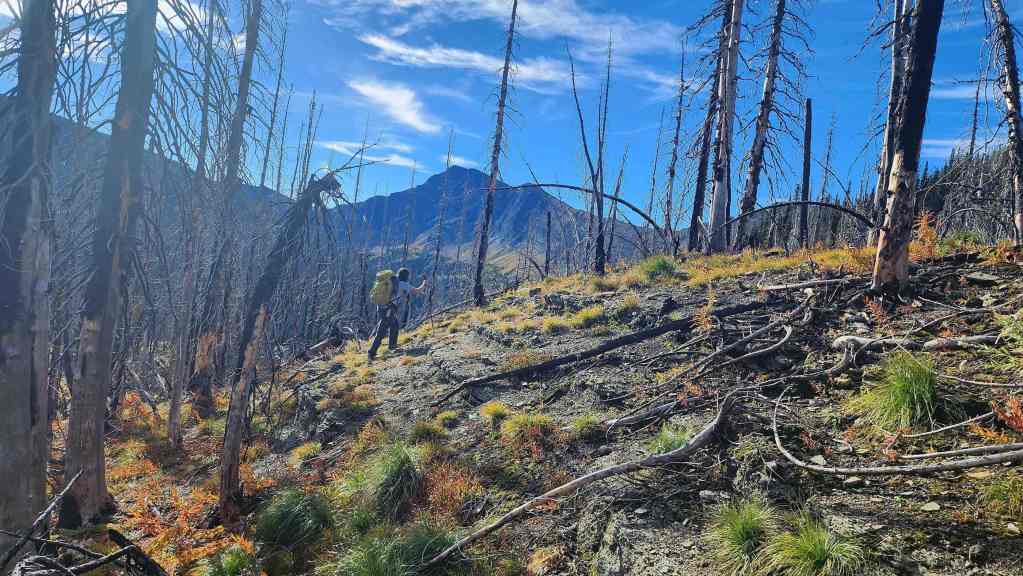
Back to today and heading straight up.

On the uppermost section of ‘trail’ with a clear view to Festubert (left).

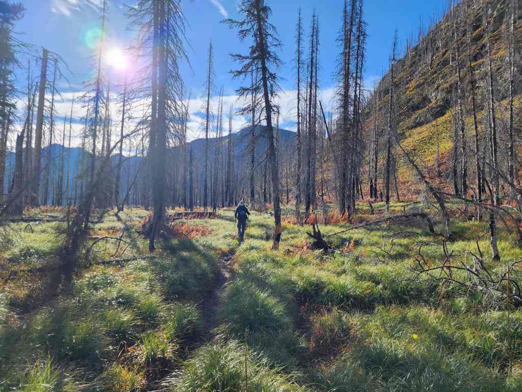
Heading into the woods.

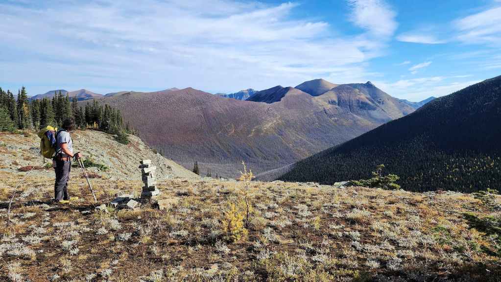
Standing in South Kootenay Pass. For reference, it took us 3 hours and 17 minutes to reach this point from the Red Rock Parking lot.

Heading towards the ridge.
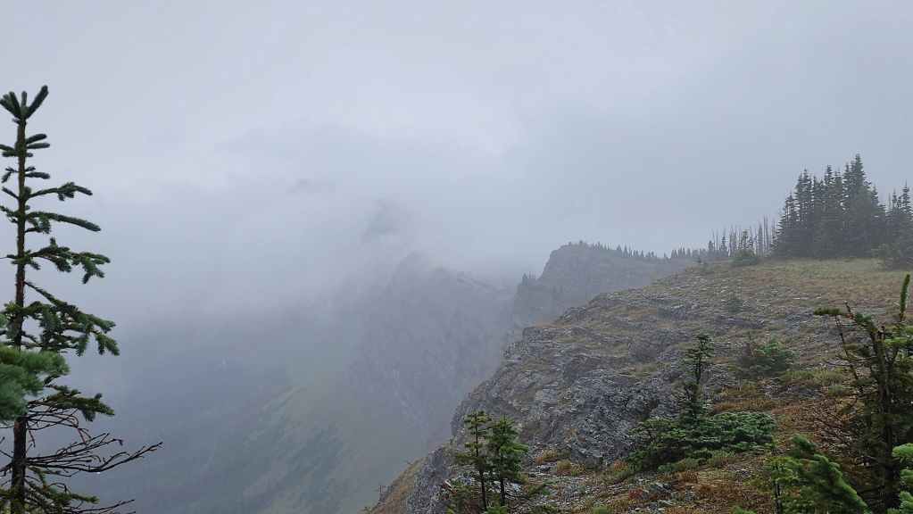
During our August trip, we discovered that there is a sporadic trail that leads from the Pass onto the ridge.
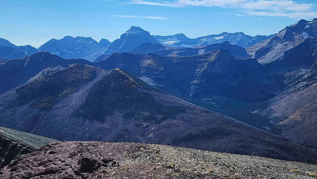
The view over to Kishinena Peak (left of centre) as we gain elevation.

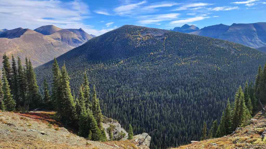
Looking along the ridge to Festubert (right of centre) and across the valley to Lone Mountain (left).
Almost on the ridge.

Brad (right) blends into a small cluster of larches.

Larches and the summit of Festubert.

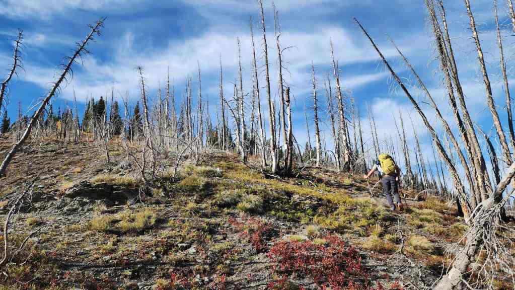
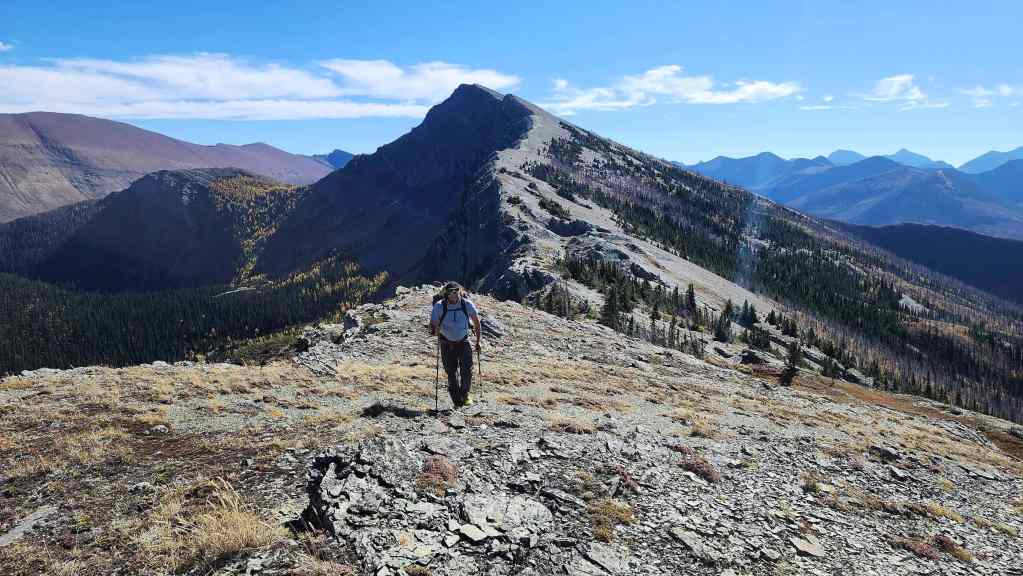
The grade lessens as we emerge onto the ridge.

What it looked like today…
Versus what it looked like in August.

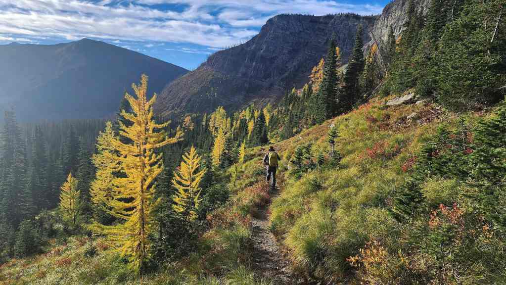
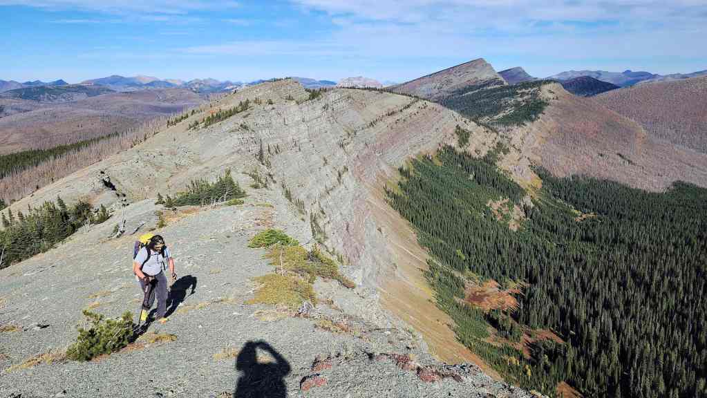
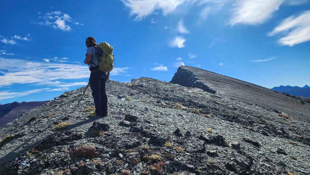
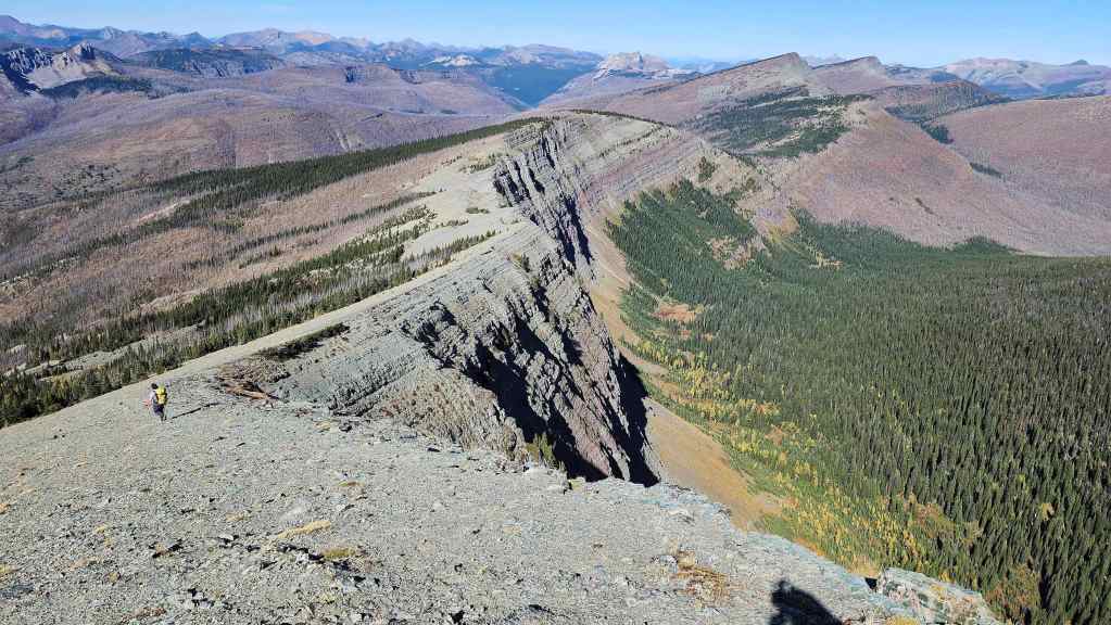
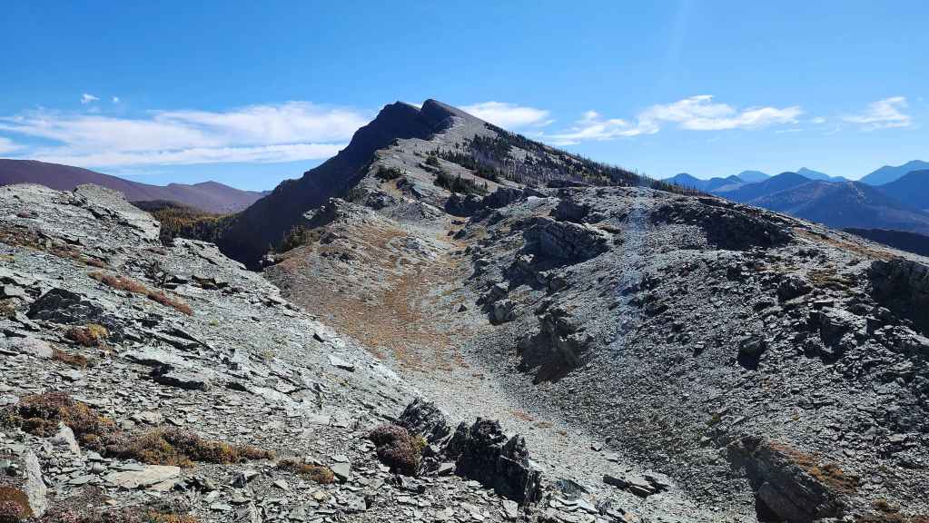
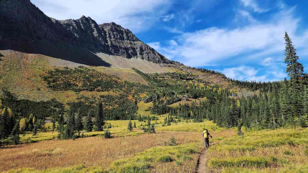
The beginning of what would will turn out to be an easy and excellent ridge walk. 🙂

Another view of the previous photo. (Photo by Brad Wolcott)

What things looked like today…
Versus what they did back in August when we were blasted by wind and rain.
Enjoying what we couldn’t see before.

A perfect day to be on a ridge!

There’s pretty much a trail that leads all the way to the summit.
The same view of the previous photo, but back in August. This was the furthest point we reached that day.
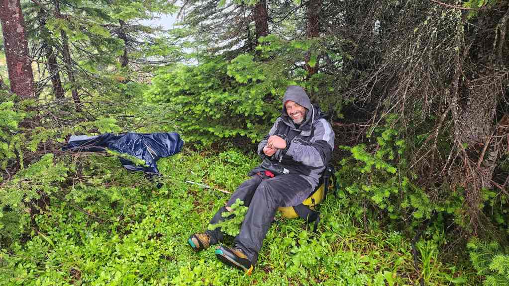
Still back in August, this time sheltering under some trees before making the wise decision to turn back. I’m so glad that we waited for the perfect weather day to return.
A great view over to Lone Mountain.
Looking down at the trail to Lone Lake.
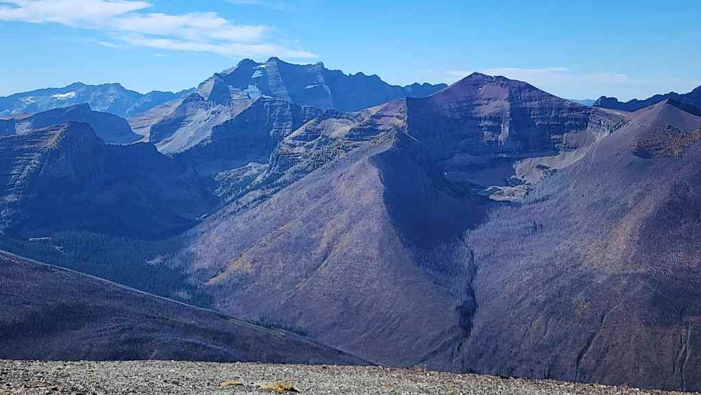
Once out of the trees, the views are wide open. This is looking over to Miskwasini Peak (far left), Mount Yarrell (foreground far left) Kenow Mountain (left of centre), and Langemarck Mountain (far right).

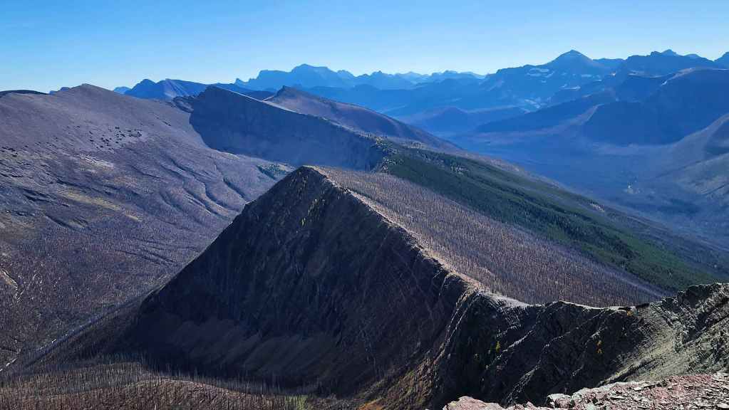
The ridge is just a hike and any scrambling can be easily avoided.

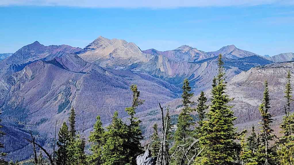
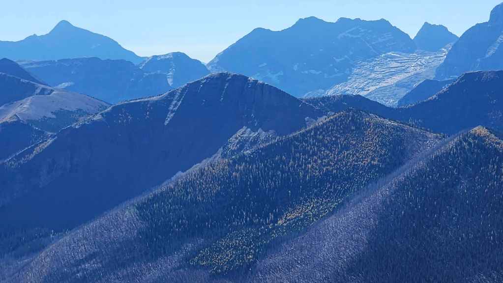
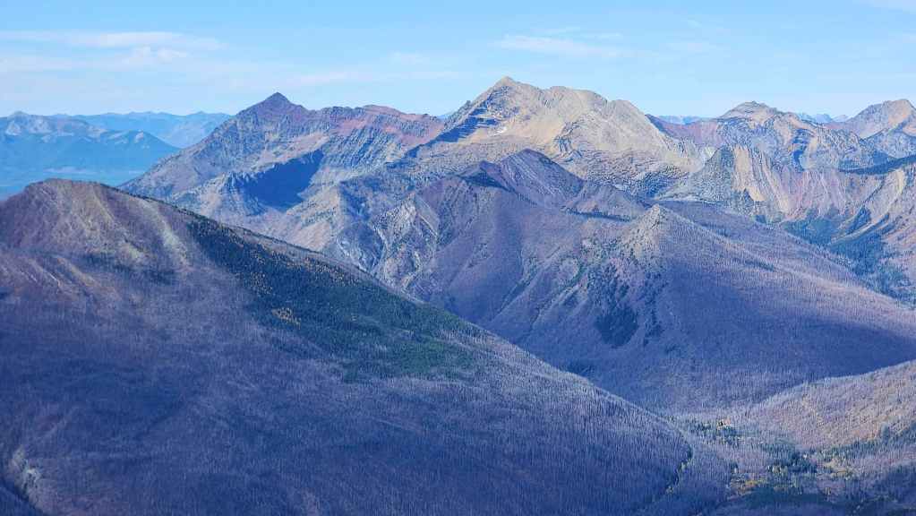
Looking towards Kinnerly Peak (far left), Mount Ashman (left), Long Knife Peak (right of centre), and See Peak (far right).

Same view but adjusted to include King Edward Peak (right of centre) and Starvation Peak (right).

Following the trail.

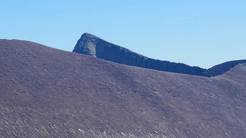
Brad approaches the edge of a small depression…

Which made for a cool photo.

Leaving the depression.
Glancing back.

Our first good look at Lone Lake with Mount Hawkins (centre) and Piinaquiium / Ahkoinimahstakoo (Mount Blakiston) (left) in the background.

I know I’ve said it already, but it was such an amazing weather day! (Photo by Brad Wolcott)

Another look back.
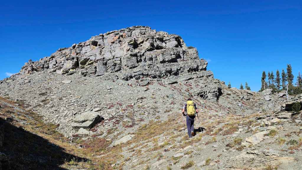
Getting closer to the top of the high point before the summit.

Looking down at Lone Lake from the top of the high point. (Photo by Brad Wolcott)

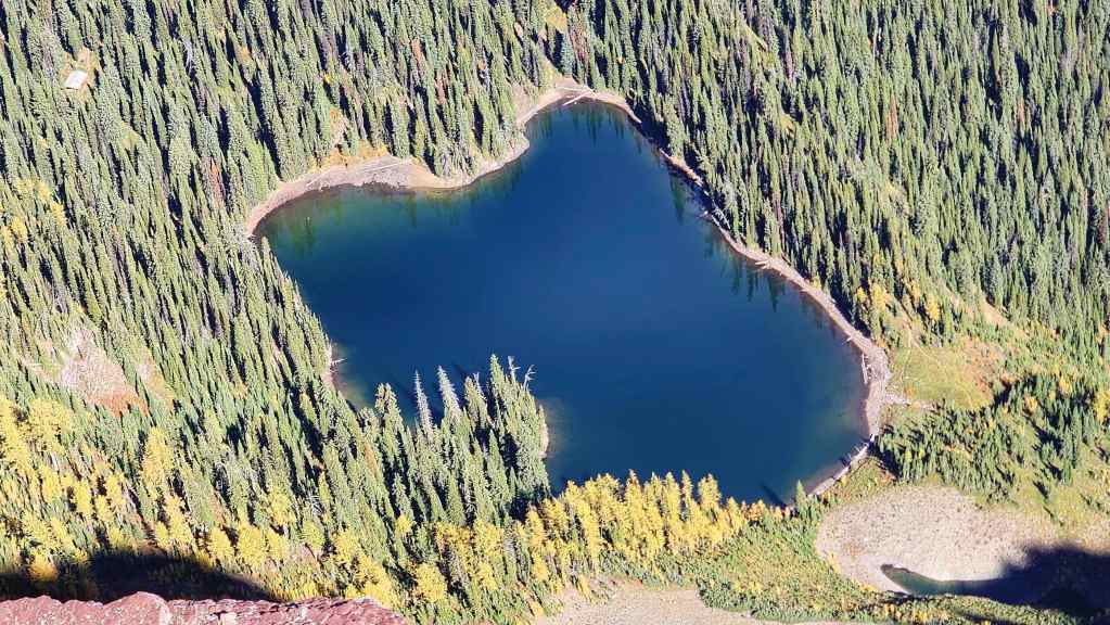
A closer look at the lake.

The summit isn’t far from the high point.

Glancing back to the high point.

Closing in on the summit… (Photo by Brad Wolcott)

Arriving at the cairn. (Photo by Brad Wolcott)
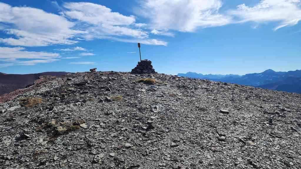
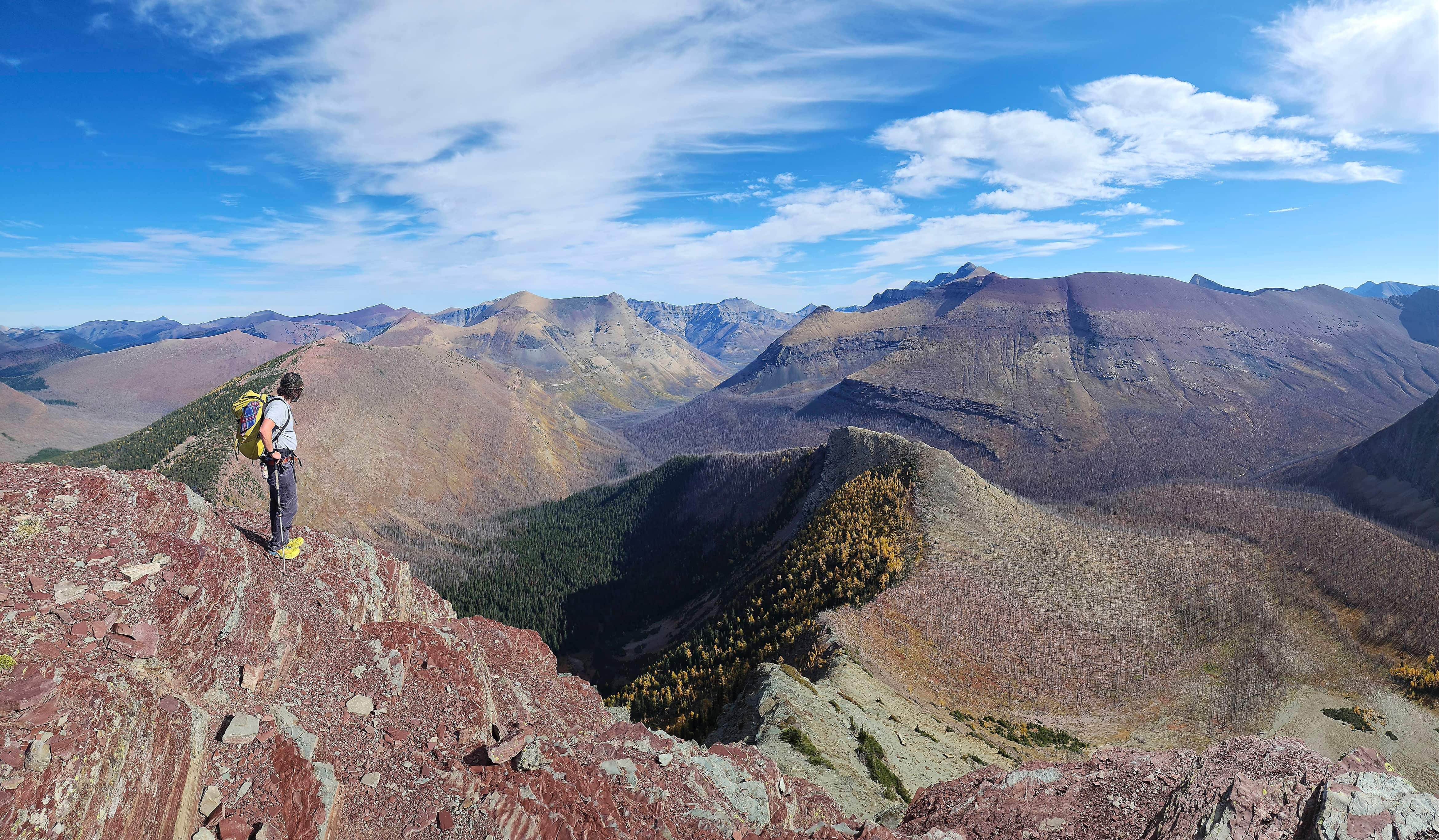
The summit of Festubert Mountain (2527 m).
Brad joins me on top.

A pano to the northeast…

And then to the south.

Looking southwest…
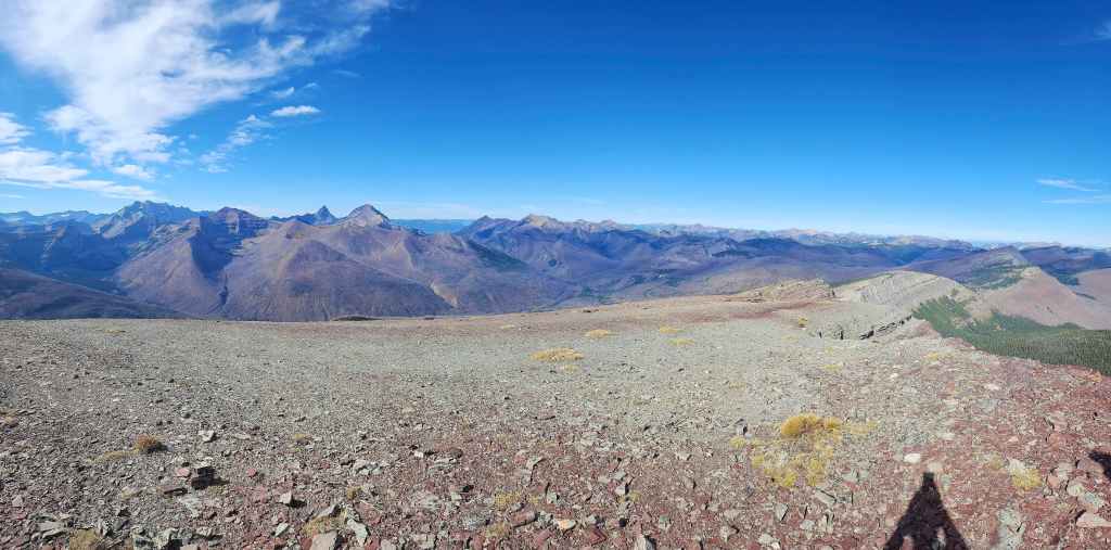
And then west.

Finally, the view to the north.

Looking over at Lone Lake and Lone Mountain (centre).

A closer look at Kishinena Peak (left) and “Sage Senior” (right).

Zooming in Font Mountain and Mount Matkin.

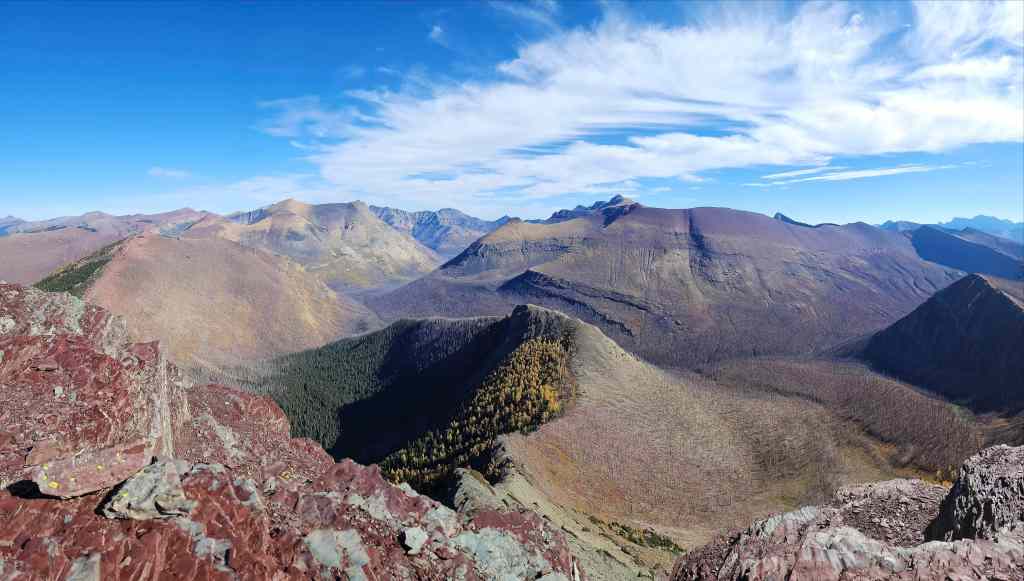
Looking past “Sage Senior” towards Mount Gladstone (left), Castle Peak (centre), and Windsor Mountain (right).

Continuing over to Loaf Mountain (far left), Avion Ridge (left), Newman Peak (centre), and “Newman Senior” (right). The summit of Lone Mountain is in the foreground.

Yet another look at Lone Lake. 🙂
Looking past Lone to “Kootenai Brown Peak” (left), Lost Mountain (centre), and Anderson Peak (centre).

Zooming past the east peak of Anderson to Cloudy Ridge (centre).

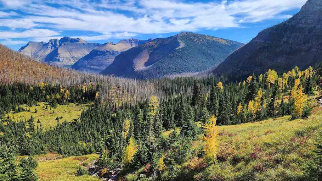
The view down the Blakiston Valley towards Mount Dungarvan (centre), “Rogan Peak” (right), and Galwey North (far right).

Gazing over to Mount Hawkins.

A closer look at Piinaquiium / Ahkoinimahstakoo (Mount Blakiston).
The last peak on the Hawkins Horseshoe is Mount Lineham – unless of course, you do it in reverse. 😂
Festubert’s south ridge that’s described in Andrew’s, More Scrambles in the Canadian Rockies, 3rd Edition.

Looking towards Bear Mountain (left), Mount Alderson (left of centre), and Mount Carthew (centre)

The view over to Akamina Ridge (centre) and “Bennett Peak” (right).
A closer look at “Bennett Peak” (centre) that sits above Bennett Pass and marks the start of Ashman Ridge.
Kinnerly Peak (left of centre) is hard to miss! In the foreground on the right is Grizzly Gulch with Mount Ashman on the right.
Grizzly Gulch on the left with See Peak (on my list) on the right. There is some nasty looking deadfall on the side of See. 😯

Another look at King Edward Peak (left of centre) and Starvation Peak (right of centre).
Miskwasini Peak (left), Mount Yarrell (right of centre), Kenow Mountain (right of centre), and Langemarck Mountain (far right).
Why not? Here’s another pano of the view back into the Park. 🙂

On our Lone Mountain trip we speculated that there might be a scramble route onto Festubert, but after examining what we could see, determined that it might be tricky. However, after looking down (pictured) from the summit, it looks like there is a moderate to difficult route that is bolstered by a series of ledges. I’d like to return one day to try this.
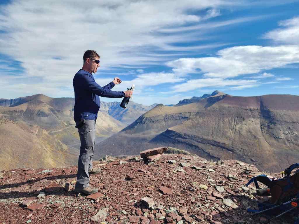
Celebrating my completion of all the official peaks in Paahtómahksikimi (Waterton). Unbeknownst to me, Brad had lugged a bottle of bubbly up the mountain. 😀 (Photo by Brad Wolcott)

Since Andrew had to turn back, I did the noble thing and drank his share as well. 😂 Despite downing an entire bottle of 11% bubbly on the summit, neither of us felt a thing – at least what I can remember that is. 😂 (Photo by Brad Wolcott)

Brad is rapidly closing in on completing all the official Park summits himself. He and Dave recently completed the Presidents in Yoho National Park, where they discovered two ice axes from the 1970s underneath an area of glacial retreat. No, they didn’t have to pry them out of someone’s hands… 😯
One more look down at Lone Lake.
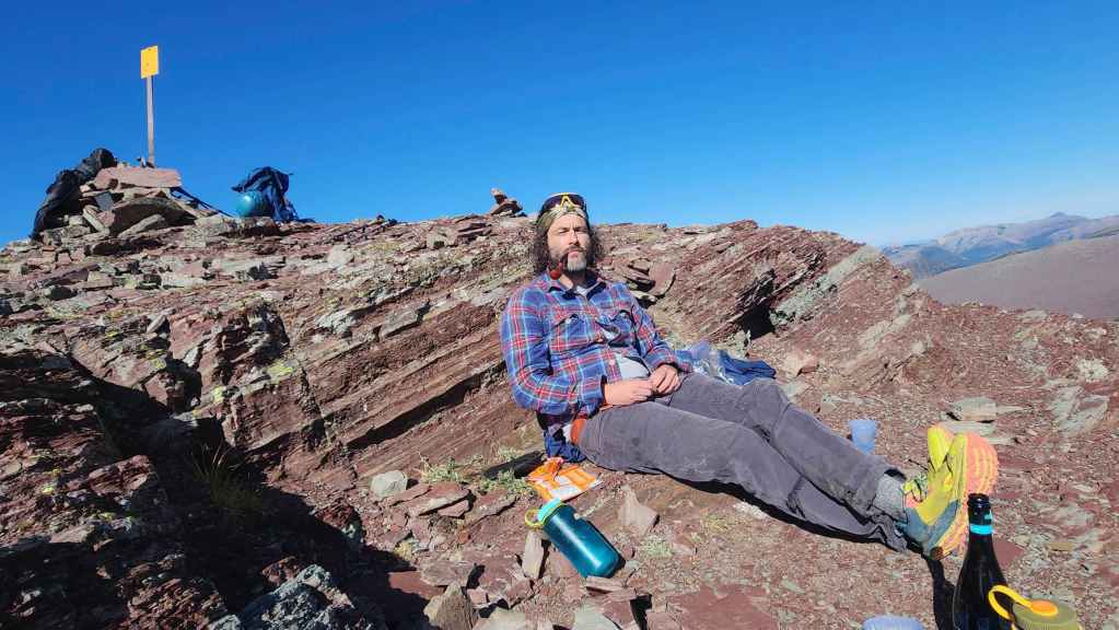
Chilling on the summit.

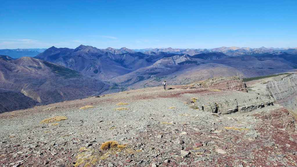
After spending 45 minutes on the summit, it was time to head back.

Approaching the high point.

Looking back from the high point.
Returning to South Kootenay Pass (right) would be super quick.

Passing through the small depression along the ridge.

Still enjoying the views.

More of the same…

And still more.
The view back and along the depression.
Though it was 100% avoidable by keeping to our left…
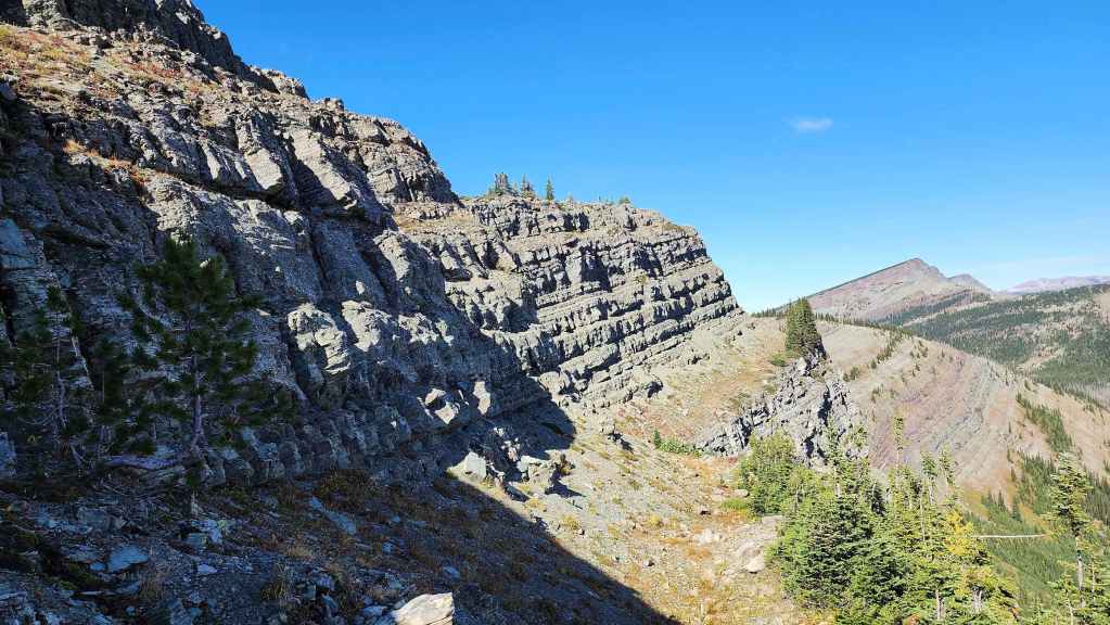
We headed to climber’s right at the small rock band where we ventured onto the side of the ridge.
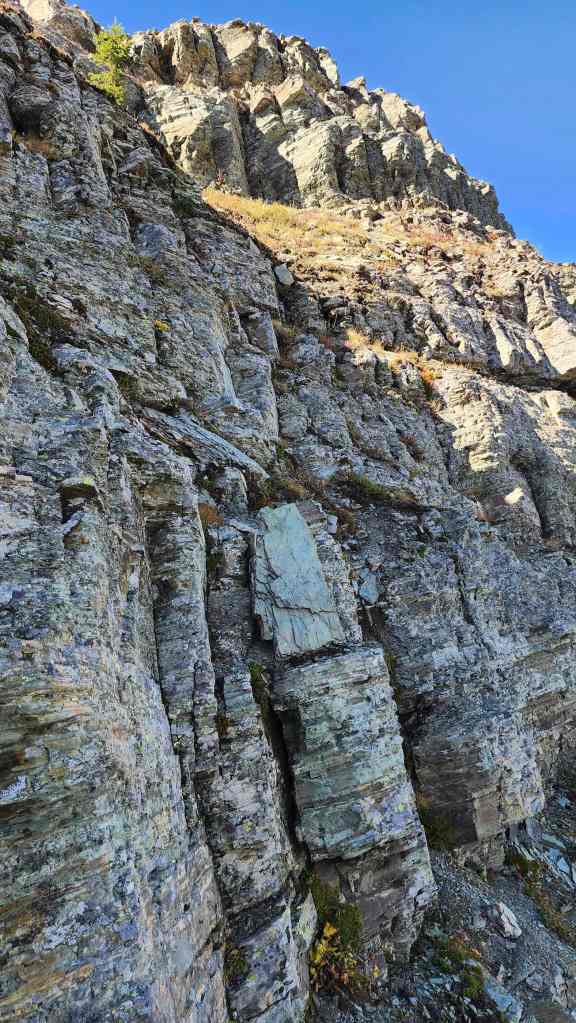
We didn’t stay there too long before scrambling up some nice rock to put us back on track.
Another view back.

Nearing South Kootenay Pass.

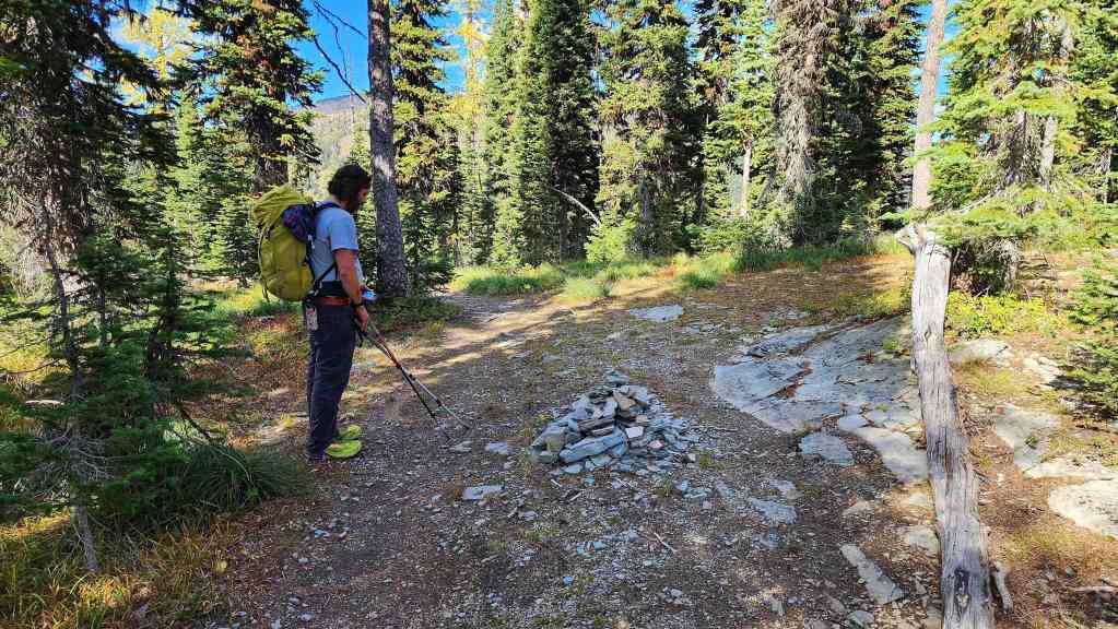
Passing beside the small cairn…

And then through the small larch cluster.

Descending to South Kootenay Pass.

Brad kisses the sign for the Pass. It only took us 1 hour and 15 minutes to get here from the summit.

Looking back to Festubert (centre) from the Pass.

Heading back along the ‘trail’ with Mount Bauerman (left of centre), “Kootenai Brown Peak” (right), and Lost Mountain (far right) in front of us.
Another look over at Lone Mountain (left) and Festubert (right).
Nearing Blue Grouse Basin,
I love this section of the park!
Checking out the tarn. (Photo by Brad Wolcott)

Heading towards the Bauerman/Kishinena col (far right).
A slightly different version of the previous photo.
The sweet view across Blue Grouse Basin to Piinaquiium / Ahkoinimahstakoo (Mount Blakiston) (left), Mount Hawkins (left of centre), and Lone Mountain (right of centre).

More of the same.
Arriving at the col.

One final look towards Festubert (centre)…

This was such a cool day!

Descending back to Twin Lakes. At this point, we watched as a helicopter landed on the ridge above Upper Twin Lake, where it spent a considerable amount of time. We suspected that it might have been for a rescue so I hope whoever it was, is okay. (Photo by Brad Wolcott)

Lower Twin Lake looked even better in the afternoon!

More of the same. 🙂 (Photo by Brad Wolcott)

Passing through the campground. Like the morning, we still the only ones here.

Enjoying the easy hike back.
There are lots of larches on Mount Bauerman (right).
Arriving back at our bikes.

Looking forward to the easy ~8.5 km ride back.

Off we go!

Glancing up at an outlier of “Newman Senior” (left) and Mount Glendowan (right).
More log hopping.
Late afternoon sun on Piinaquiium / Ahkoinimahstakoo (Mount Blakiston).
A final glance back and along the Snowshoe trail.

Brad climbs over the same log that Andy hit earlier in the day. You can immediately see that unless your headlamp happened to catch it in time, it would suddenly flip your bike. Thankfully, all the Nugaras who were injured on this trip are recovering as expected. 🙂

Arriving back at Red Rock Canyon to what I assume was an Insta influencer and his helper setting up shop. I hope he caught our good side as we walked by. 😂 For reference, it took us 3 hours and 52 minutes to return to Red Rock from the summit of Festubert with our overall day spanning 9 hours and 36 minutes over 41.6 km.
I feel absolutely privileged to have been able to stand on every official peak in Paahtómahksikimi (Waterton). I feel even more privileged to have done the majority of those peaks in the company of two awesome friends. 🙂 Of course, once is never really enough and there are still a handful of unofficial peaks, spires, and routes left to try. You’re up next Brad! 🙂


Leave a Reply