
⚠️ Hiking and scrambling are inherently dangerous activities. Please read my Disclaimer. ⚠️
After summiting Maverick Hill and Poker Peak, my approach to Clubs Peak and Spades Peak was stymied by a ~400m section of deep snow. Disappointed that I couldn’t ascend all 4 mini mountains in one loop, I was determined not to leave without bagging one more summit. Fortunately, Brad and his family were still enjoying a leisurely lunch at the Maverick Hill trailhead, and he was game to try another summit. After discussing our options, we decided on nearby Cherry Hill – an almost nondescript bump to the west of Maverick Hill that had been ravaged in 2000 by the Cherry Hill Fire. For some weird reason, Cherry Hill is an officially named summit complete with an Alberta government survey marker. It is the 1135th highest mountain in Alberta.
Pardon the pun, but both Brad and I thought that Cherry Hill would be low hanging fruit. From the Lynx Creek Campground it looked to be a quick run to the top – and to the summit ridge it was, taking us just over an hour to cover the 2.1km distance. However, the final ~450m between the ridge and the actual summit was another story. From our initial vantage point, it appeared to be an easy 15 minute walk, but in reality it took us almost an hour to navigate through some of the most heinous deadfall that I’ve ever encountered. We finally tagged the summit but by then it had turned into Sour Cherry Hill. It was not entirely the pits though, as we were able to find a descent route which bypassed almost all of the deadfall. This is the route that we’d recommend for anyone else who wants to tag the summit – and top off their day with a Cherry. 😉

Cherry Hill is located immediately to the west of the Lynx Creek Campground. To get to it from Lethbridge, we drove west on Highway 3 until we came to Highway 507. Here we turned left and headed south towards Beaver Mines for ~8.8km until we came to Township Road 64A, where we turned right. We followed this scenic, gravel road for ~14.1km until we came to the Adanac Road junction. Here we turned left onto the Carbondale River Road and drove west for ~2.6km until we came to the junction of Lynx Creek Road and Carbondale River Road. The campground is located ~300m west of this junction and we parked another ~200m west of the campground – just before the bridge. The reason we parked here is because we did not want to ford the Carbondale River, Lost Creek, or Lynx Creek – all of which were starting to run high.

From our parking spot we picked up several easy trails that eventually led us up the gradual northeastern slopes to the summit ridge. The summit was not visible from our starting point, but we knew from our map that it wasn’t too far from the ridge. The final ~450m from ridge to the summit was an awful trek through deadfall, but on descent, we followed the southwest contour of the mountain until we came to open meadows which we followed back to our vehicle.
Our total distance travelled was 5.6km with total elevation gains of 418m. Our total time was 2 hours and 33 minutes of which, almost an hour was spent navigating the final ~450m of deadfall to the summit. If you try Cherry Hill, use our descent route to go up and down.

Cherry Hill from the Carbondale River Road. Doesn’t it make your heart skip? 😉

We parked between the Lynx Creek Campground and the bridge to avoid fording any streams on our approach.

Looking back at Brad as he gets ready to take a minimalist approach to hiking – no backpack and low cut hiking shoes. We thought this would be a piece of cherry pie.
The initial trail that we followed required navigating over deadfall that was hidden in the foreground row of trees.

Brad follows a well defined trail towards the northeastern slopes of Cherry Hill. The summit ridge is in front of him but the summit itself is not visible.
Looking south at Syncline Mountain.
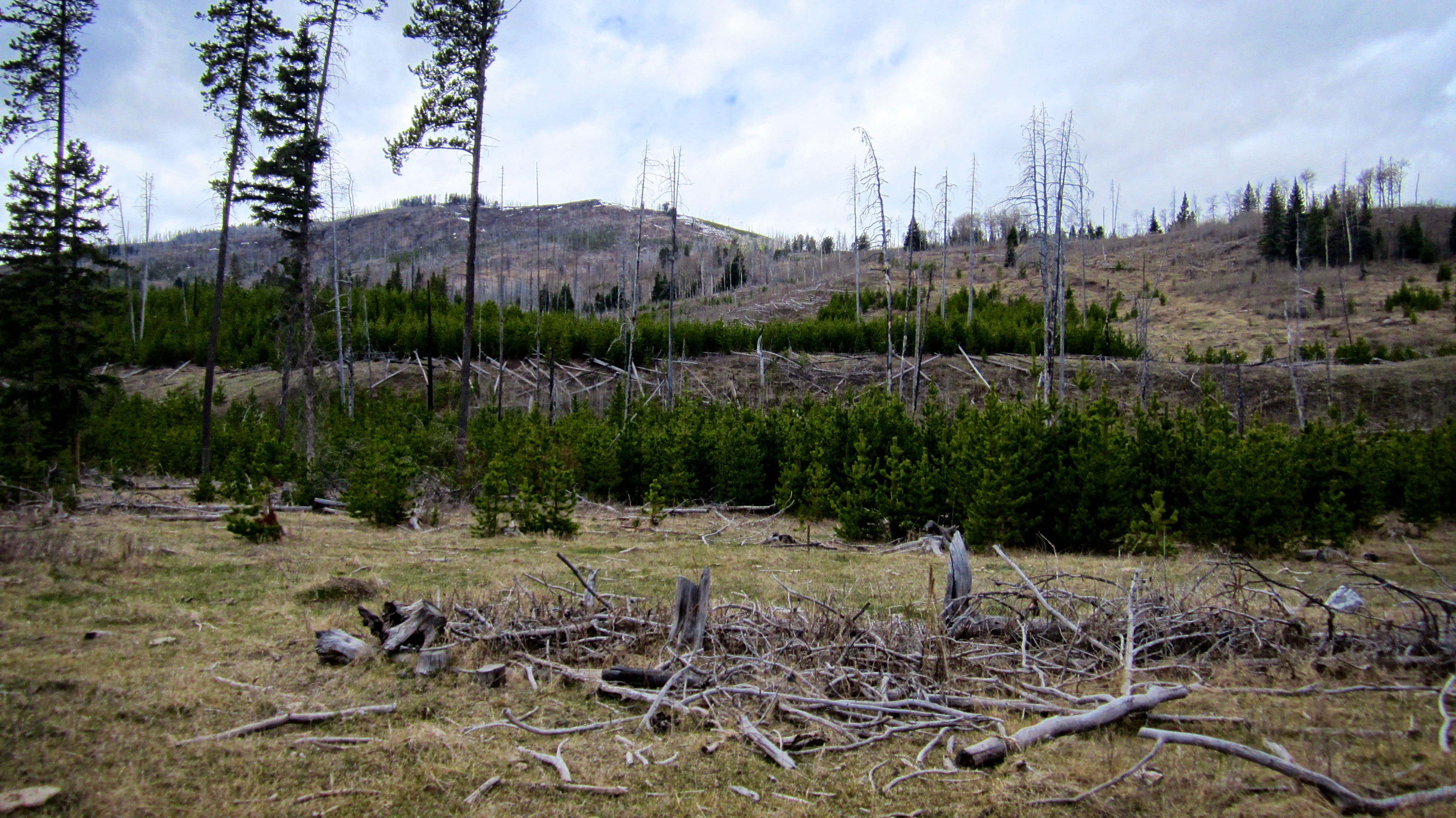
The entire area was ravaged by the 2003 Lost Creek Fire, but Cherry Hill had previously been scorched in 2000 by the aptly named, Cherry Hill Fire. Although dead, there were some massive trees still standing 16 years later. Perhaps ‘Burnt Cherry Hill’ is a more accurate moniker?

Gazing skyward at the charred remains of a particularly large tree.

At the base of the northeastern slopes we caught the distinctive scent of elk shortly before Brad spotted them in the trees. Look closely at the centre of the picture and see if you can spot one. Not long afterwards, Brad saw what appeared to be a couple of white wolves darting back and forth across the slope immediately above the elk.

Looking back at the Carbondale River Road / O’Hagen Road junction as we begin the steepest part of the hike.

Brad follows an animal trail up the slope. This was the same location where 15 minutes earlier, he had spotted the wolves.
Brad approaches the summit ridge and being the climber that he is, chose to scramble up the rocks on the left.
Brad arrives on the ridge just over an hour after starting.

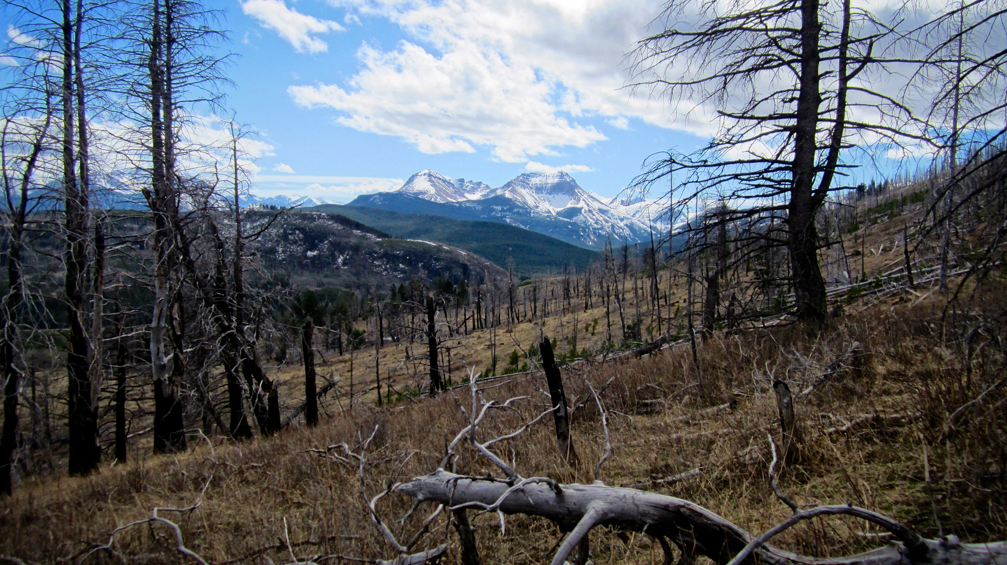
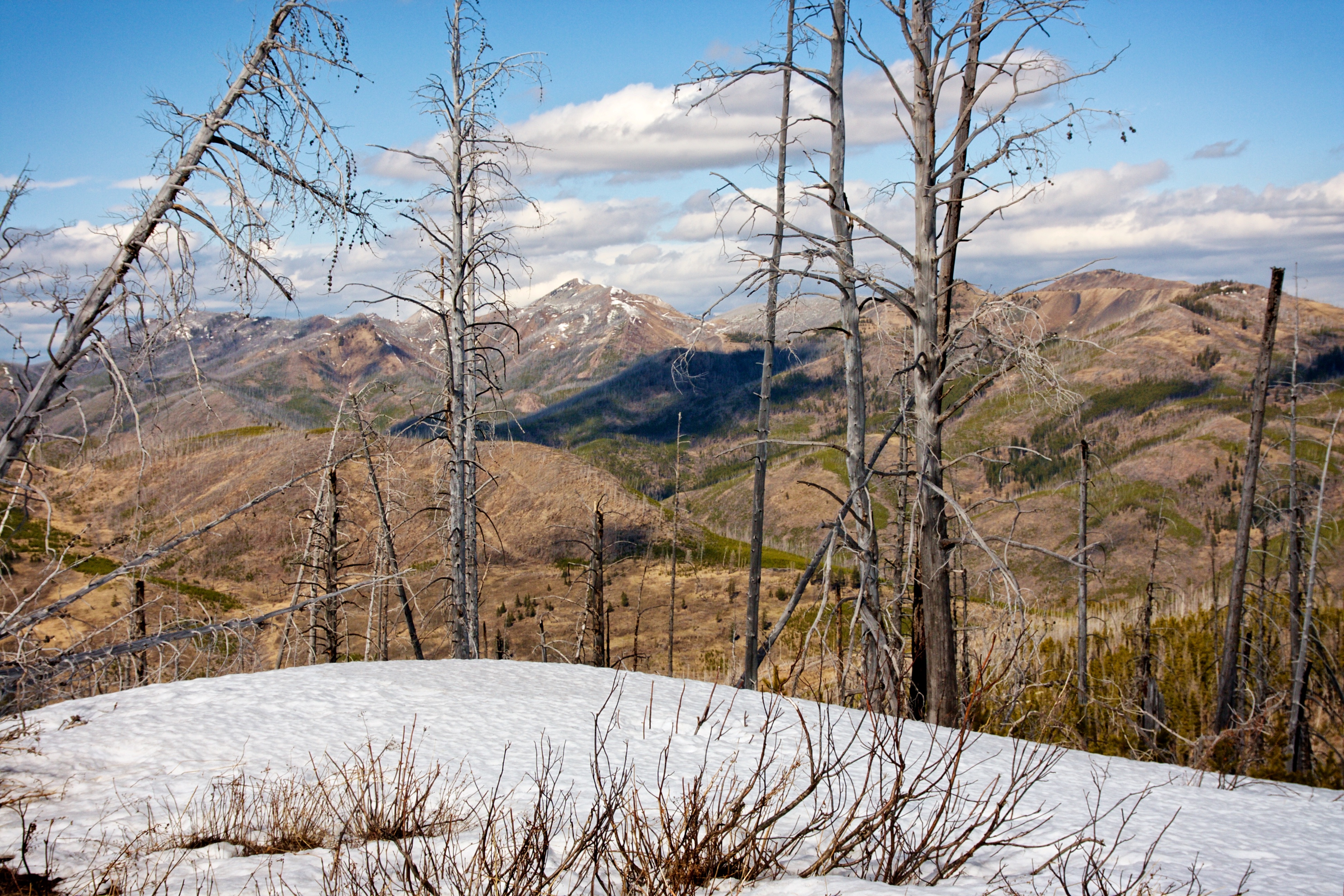
Once on the ridge we could see that the summit (right of centre) was just ~630m away. From here it looked like it would be a quick walk in the park. I can’t overstate how wrong we were!
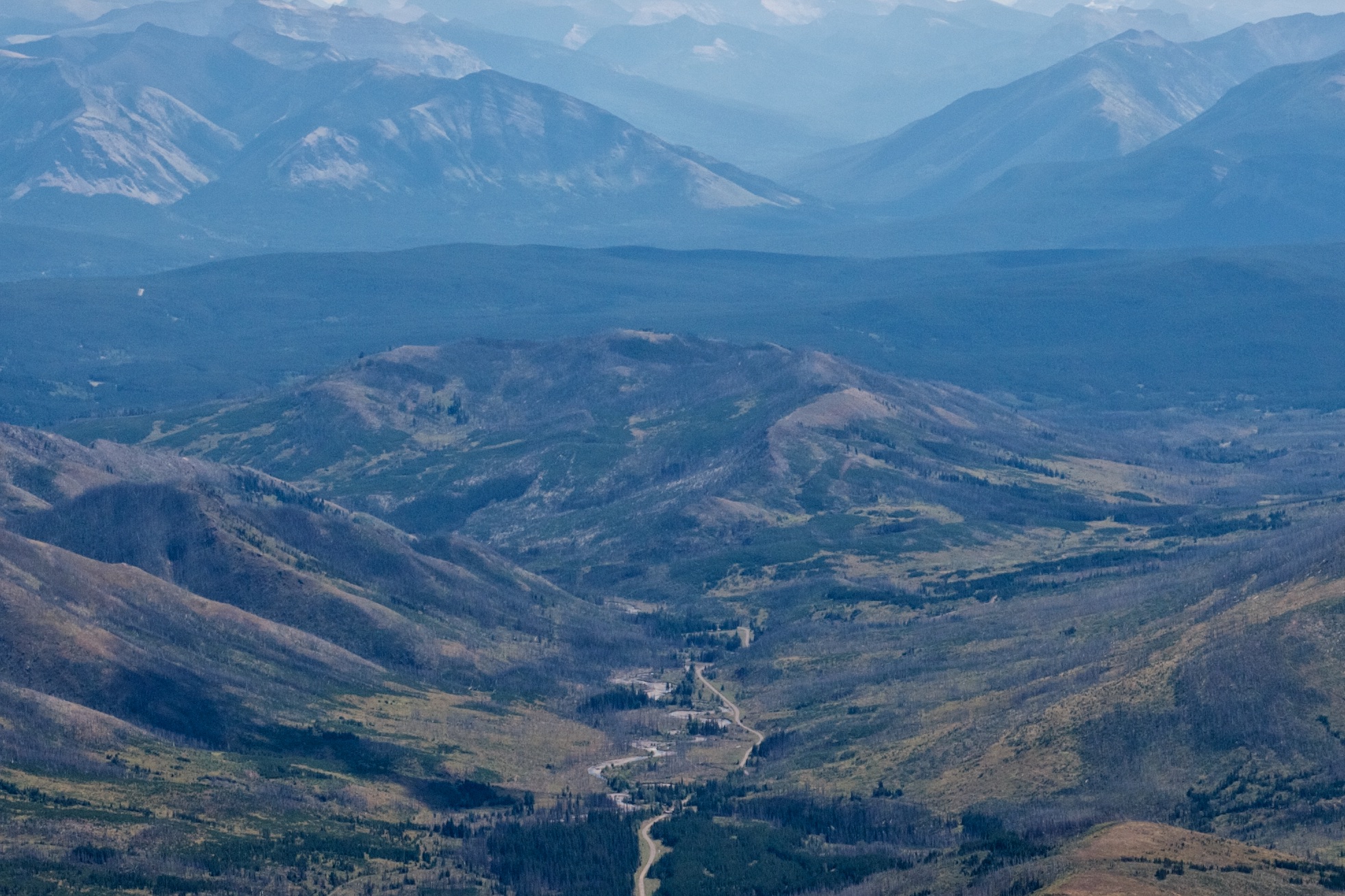
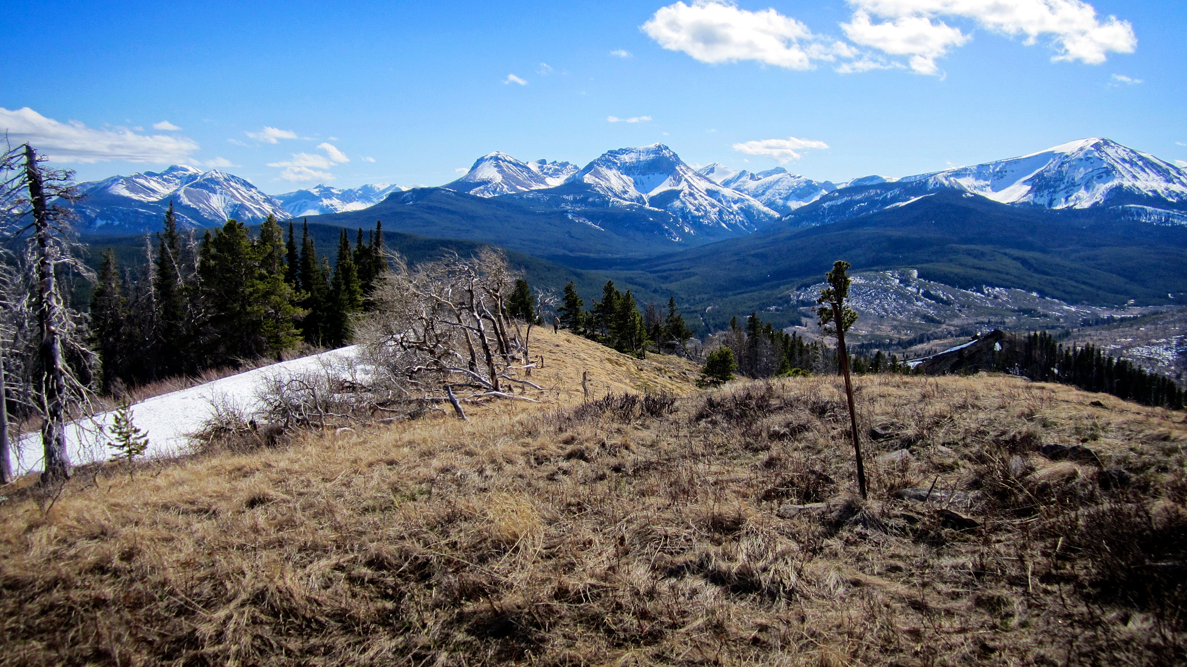
A pano of the Flathead Range from the ridge. The views from the summit were even better.

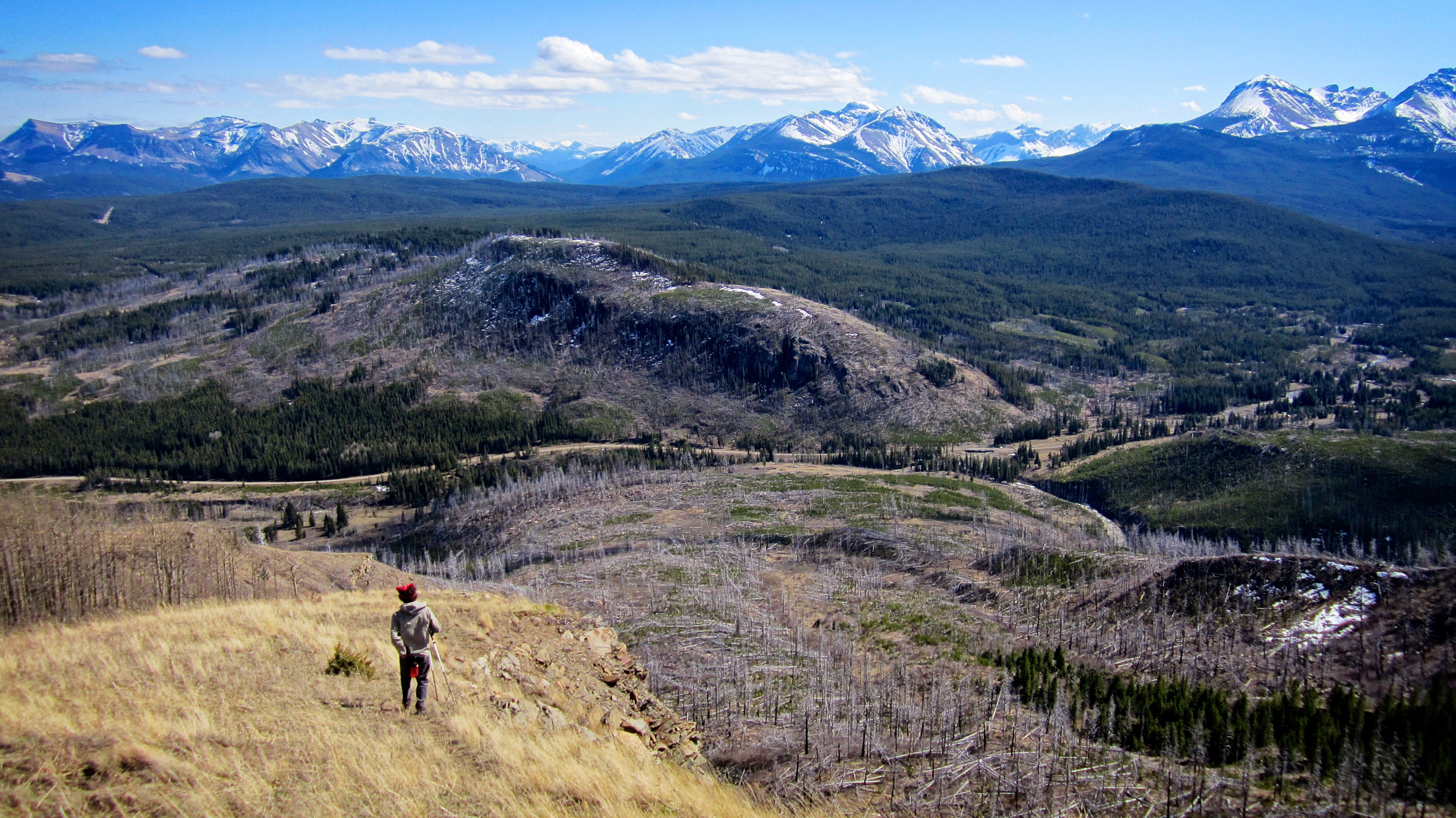
Looking back at our route from the ridge. Carbondale Hill is in the background.

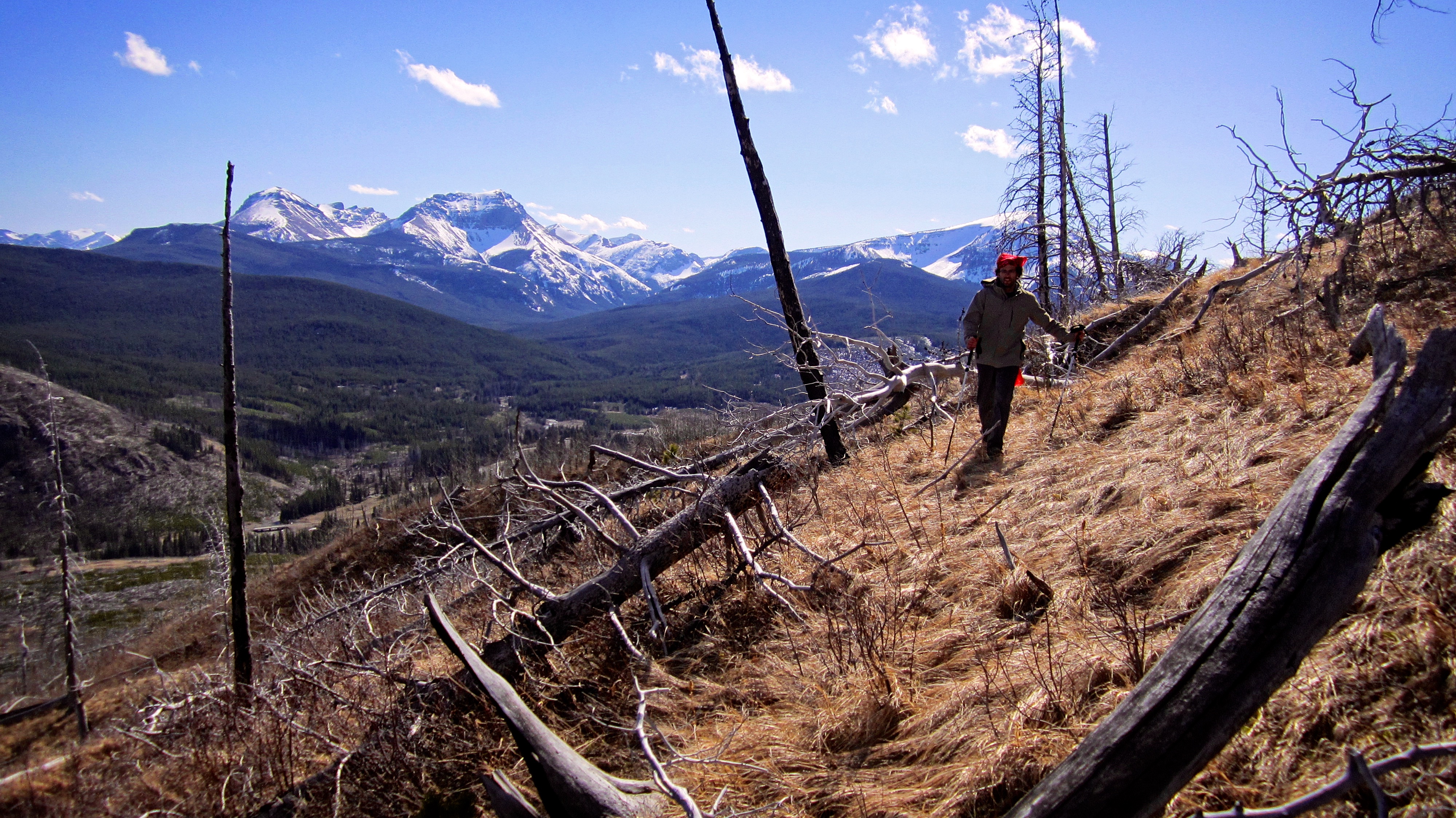
Brad hikes south along the ridge towards the summit. Maverick Hill is on the right.

Snow mould blankets the ground as we make our way through a short section of burnt timber.
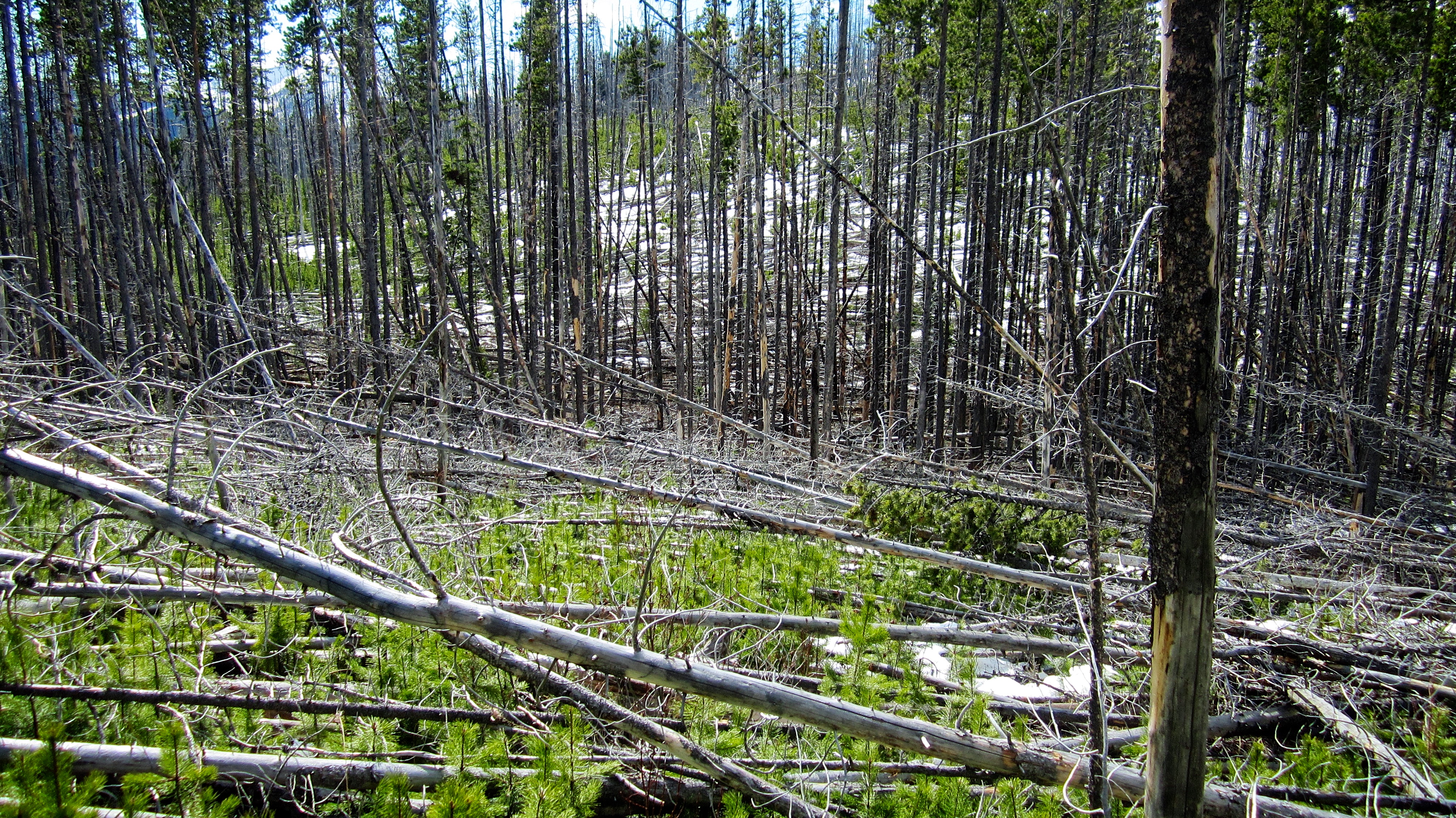
We emerged from the forest to find this. At first it didn’t look too bad, but once we had committed there was no turning back.
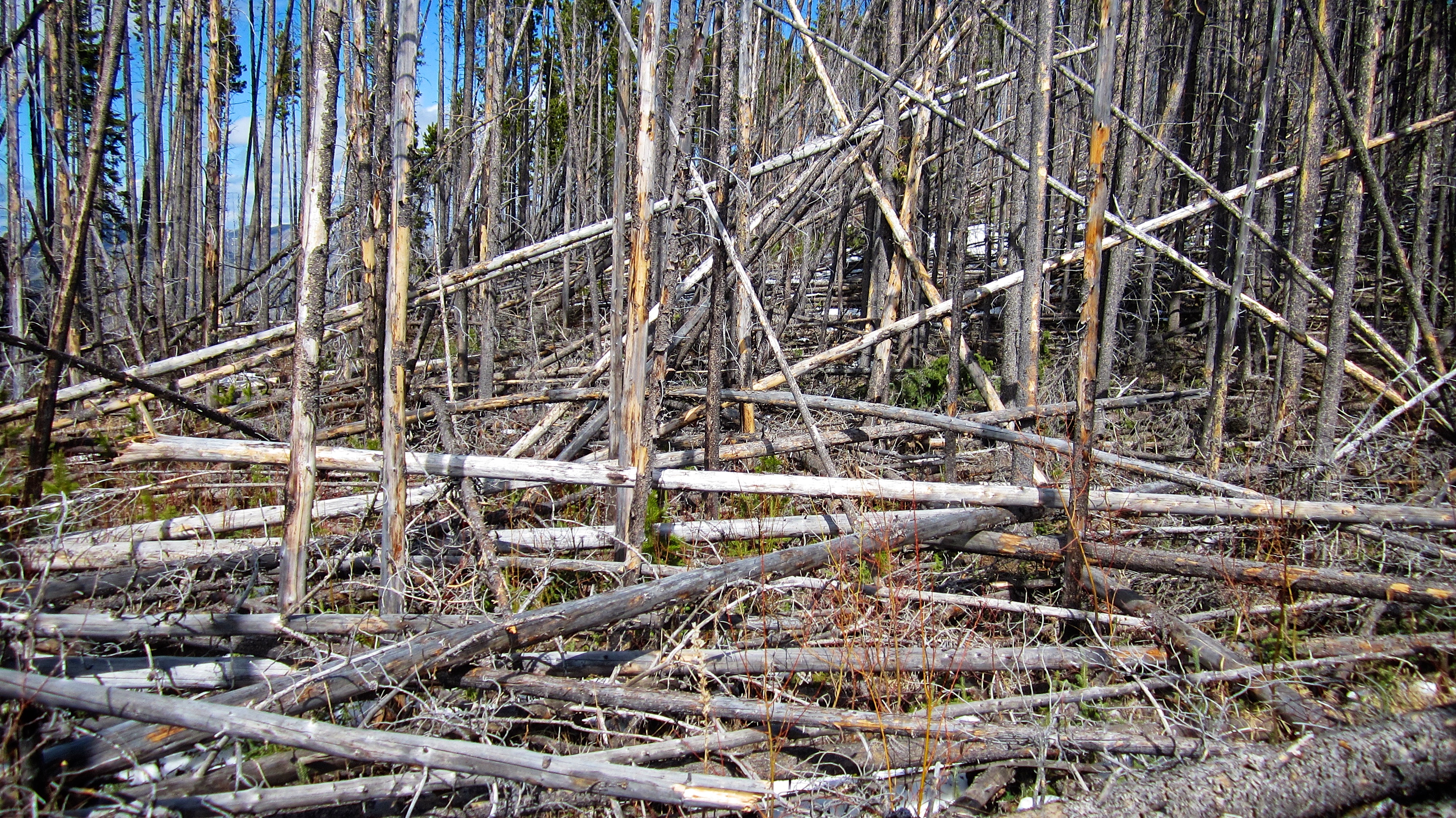
The final ~450m was a mind-numbing section of deadfall that took us almost an hour to navigate.
A nice shot by Brad as I walk the deadfall. The snow between the logs was knee deep and fraught with hidden danger, so we had to walk from log to log without falling. Brad was quicker at it than I was, but I’m proud that I only had two minor slips. All that time spent incorporating balancing exercises into my daily workouts actually paid off. (Photo by Brad Wolcott)

Maybe one day I could join the Flying Wallenda’s… though my stage name would be Muddling McMurray. 😉 (Photo by Brad Wolcott)

Fortunately, most of the logs were dry and settled.

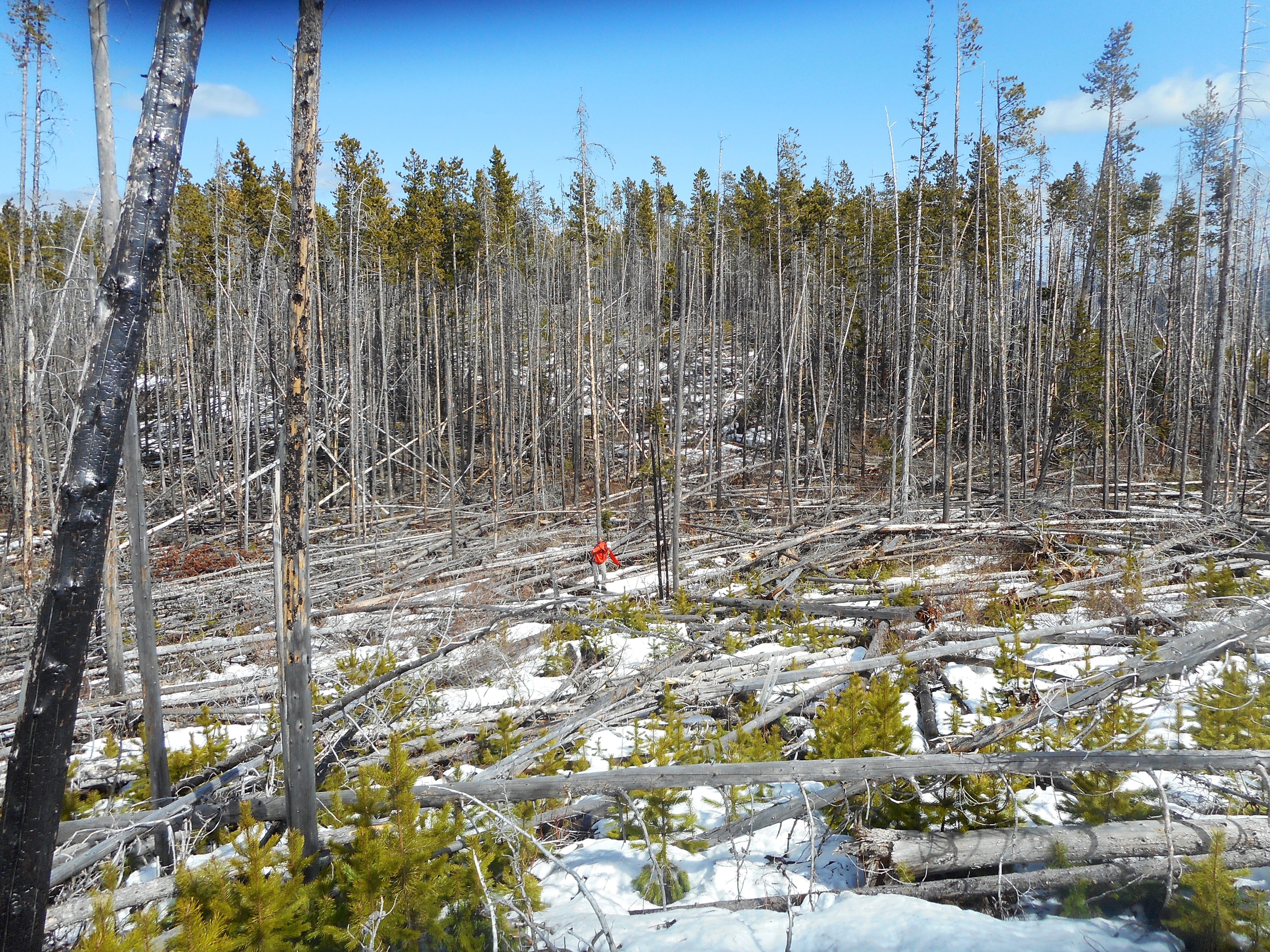
The summit was so close but yet, so far.
Brad be nimble. Brad be quick. Brad jump from stick to stick.

Brad stands next to the survey post on the summit nearly an hour after we started through the deadfall.

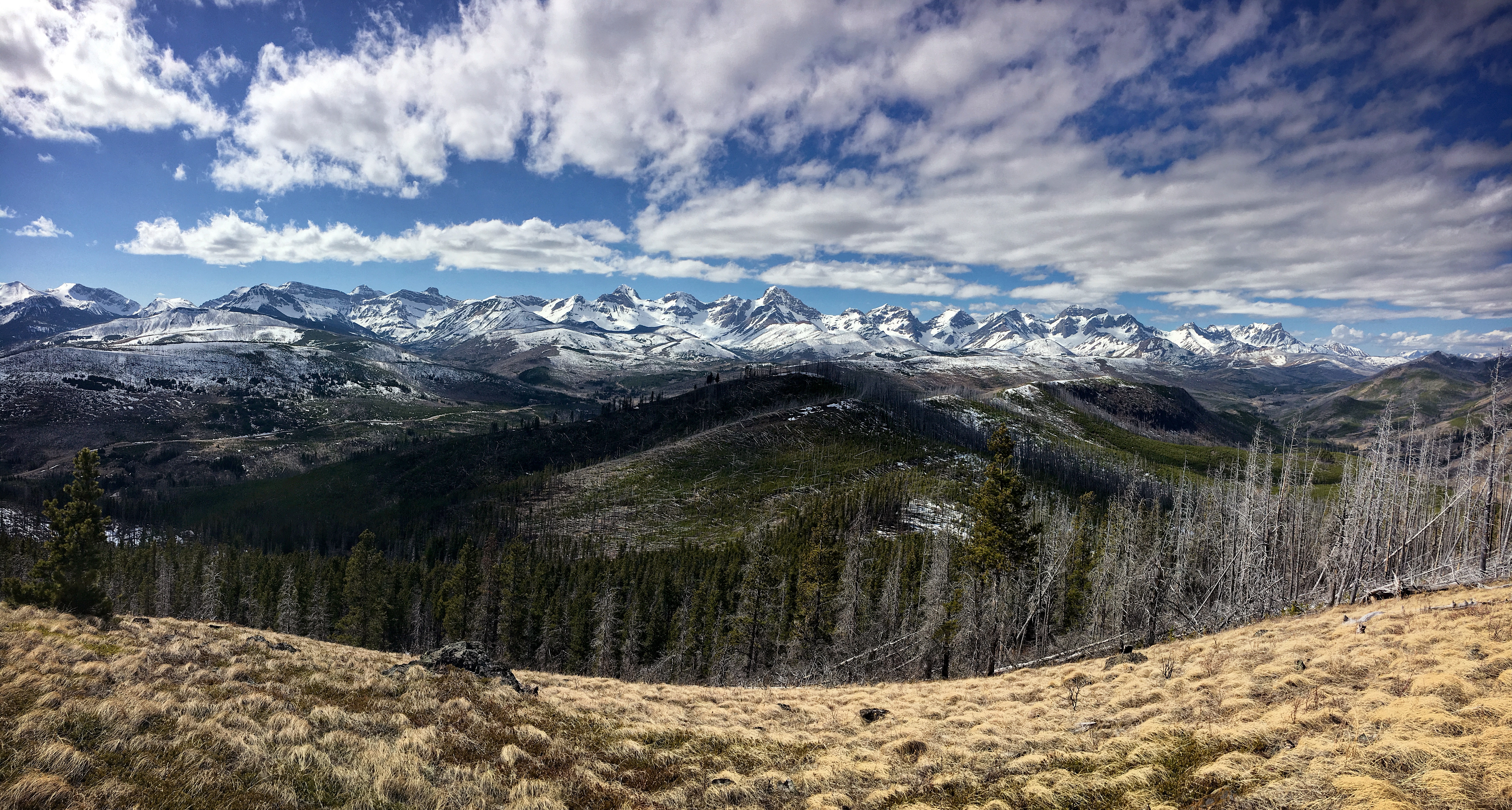
The views however, were worth it! This is a pano of the Flathead Range to the west.

A pano to the south.

The survey marker on the summit of Cherry Hill (1758m my GPS)

Looking northeast at Poker Peak (left) and Maverick Hill (right).
The west side of Clubs Peak is quite steep.
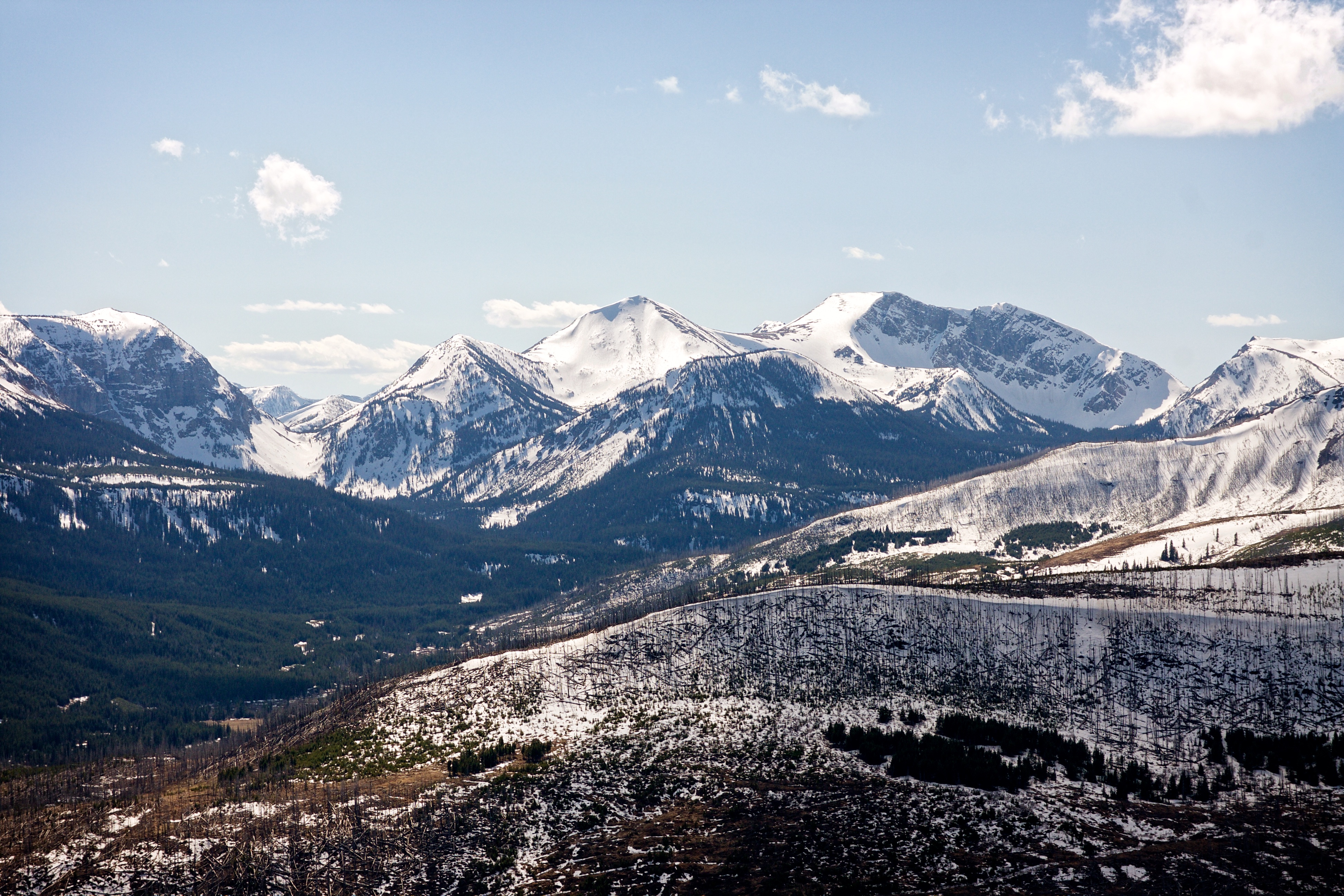
Another partial pano to the west. Mount Darrah is the prominent peak in the centre. Mount Coulthard is on the far right.

A closer look at Mount McCarty.
Hollebeke Mountain is on my ‘To Do’ list.
Mount Coulthard is to the right of centre and Mount McLaren is on the far right.

Magnificent Mount Darrah lies directly to the west of Cherry Hill.

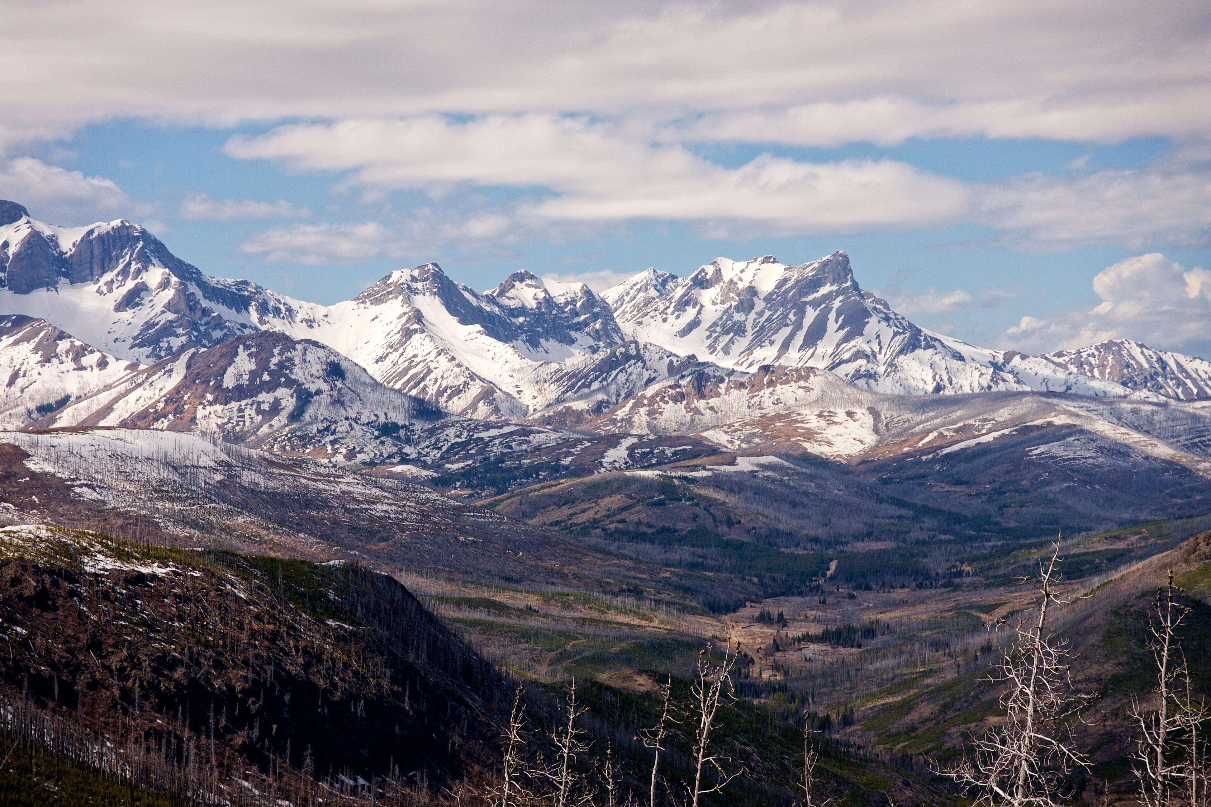
Mount Darrah is on the left and to its north (right of centre) lies Mount Pengelly and Mount McGladrey.

Looking south at Syncline Mountain.

Looking southeast at Mount Gladstone, ‘Table Top’, ‘Eagle Peak’, Whistler Mountain, and the Whistler Fire Lookout. The distinctive shape of Castle Peak can be seen in the background and immediately to its left is “Frankie Peak” and “Larry Mountain”.

Brad stands on his second summit of the day.

Cherry Hill was my third summit of the day and though it’s not very big, we sure had to earn it.
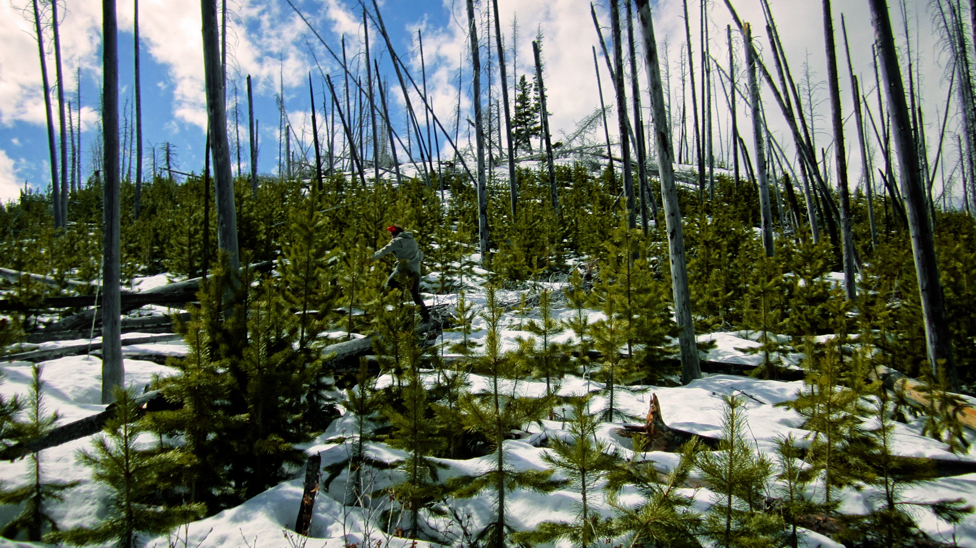
While I ate a quick snack, Brad headed south to look for an alternate route down. We wanted to avoid backtracking through the deadfall.
Great success! The southwestern slopes were wide open and free of deadfall.

Looking back towards the summit. There were some impressive bluffs on the southwestern side of the mountain.

A pano to the south during our descent.

Heading down gentle slopes. I was glad that I was wearing orange because someone was target shooting next to the Carbondale River Road. I don’t think that’s allowed in the Castle… (Photo by Brad Wolcott)
Our descent route offered some nice views.

It might be possible to follow the summit ridge further to the south before angling west to avoid some of the deadfall. However, I think our descent route is the easiest way up and down.

We followed numerous paths all the way back to our vehicles.

We arrived back at our vehicles 2 hours and 33 minutes after starting. This was longer than we had anticipated because we did not count on having to navigate across a nasty section of deadfall between the summit ridge and the summit. Our total roundtrip distance was 5.6km. I would definitely recommend Cherry Hill as a quick hike that offers up fine views. However, if I were to do it again, I would ascend using our descent route.


Leave a Reply