

⚠️ Hiking and scrambling are inherently dangerous activities. Please read my Disclaimer. ⚠️
Not wanting to let a beautiful forecast go to waste on the final weekend of Christmas holidays, I headed out for a quick solo snowshoe up Island Ridge in the Crowsnest Pass. Located just west of Sentry Mountain and situated on the south shore of Island Lake, I’ve long thought that Island Ridge could be a fun winter destination. Besides, if the snow on Coal Road has been packed down by enough snowmobiles and 4x4s, it may also be possible to drive to the base of its southern ascent slopes thus making this a VERY short trip from car to summit (~1km). On this day however, I thought that the snow covering the recently repaired section of Coal Road (about 800m from Highway 3) looked a little deep to try, so I opted to add an easy ~2.75km walk up the road to my trip. Though once I passed the repaired section, I realized that I probably could have driven through it as the remainder of the road was in very good shape. Oh well. I had already started and didn’t want to backtrack. What’s more, I found myself really enjoying my solitary walk up the road alongside scenic Crowsnest Creek. All in all, Island Ridge was an enjoyable snowshoe that offered some great panoramic views of the Pass and even though I was alone, it was a fun way to ring in 2016.

To get to Island Ridge, I followed Highway 3 past Coleman towards the B.C. border. After driving 1.3km beyond the rest area at the far west end of Crowsnest Lake, I turned left onto Coal Road. Since I opted not to try driving through a patch of deeper snow, I parked in a large snowmobile staging area on the side of the road about 480m from Highway 3. From here I walked ~2.75km to the southern end of Island Ridge where I left the road (directly across from the Ptolemy trailhead) and ascended through sparse forest until I reached open slopes that led all the way to the summit. I returned the same way.

Including my hike up Coal Road, my total distance travelled was 8.4km with total elevation gains of 465m. My total time was an even 3 hours. If I had driven to the base of Island Ridge, this would have been a very short trip.

Sentry Mountain provides the backdrop for my starting point in the snowmobile staging area next to the gravel pit on Coal Road.

Not long after I started down the road, the southern end of Island Ridge came into view.

A couple of snowmobiles pass me on Coal Road. Outside of 3 snowmobiles and 2 trucks, I saw no one else.

A frozen waterfall on Crowsnest Creek.

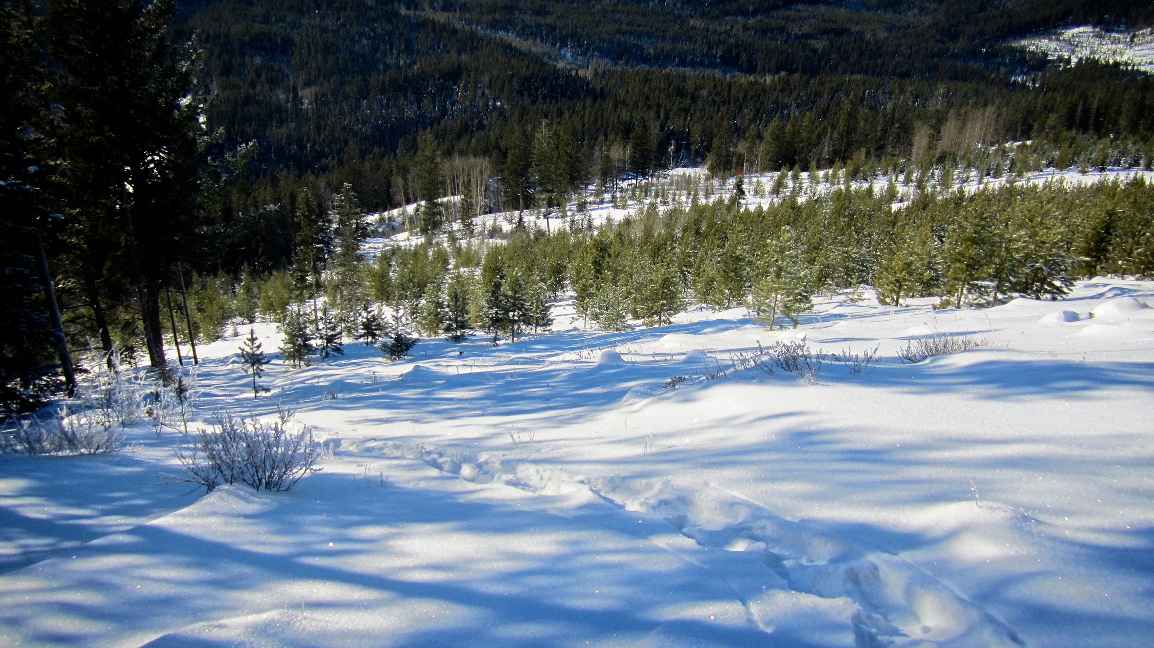
After walking for ~2.75km, I left the road when I came to this clearing.

The point where I left the road is almost directly across from the trailhead (visible on the right) for Mount Ptolemy, the North Ridge of Ptolemy, and Chinook Peak.
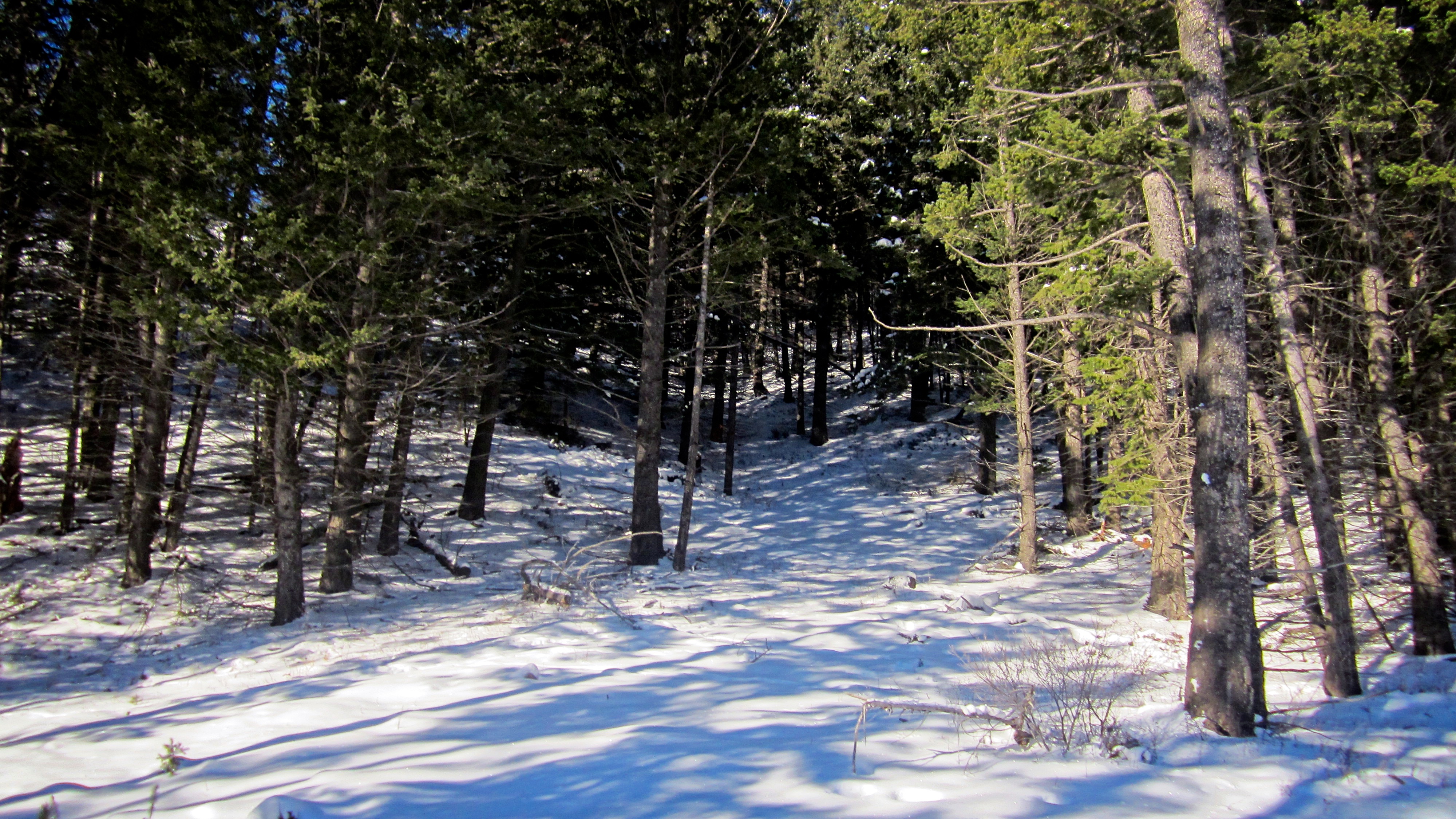
I walked across the clearing and began ascending what felt like a trail (centre).

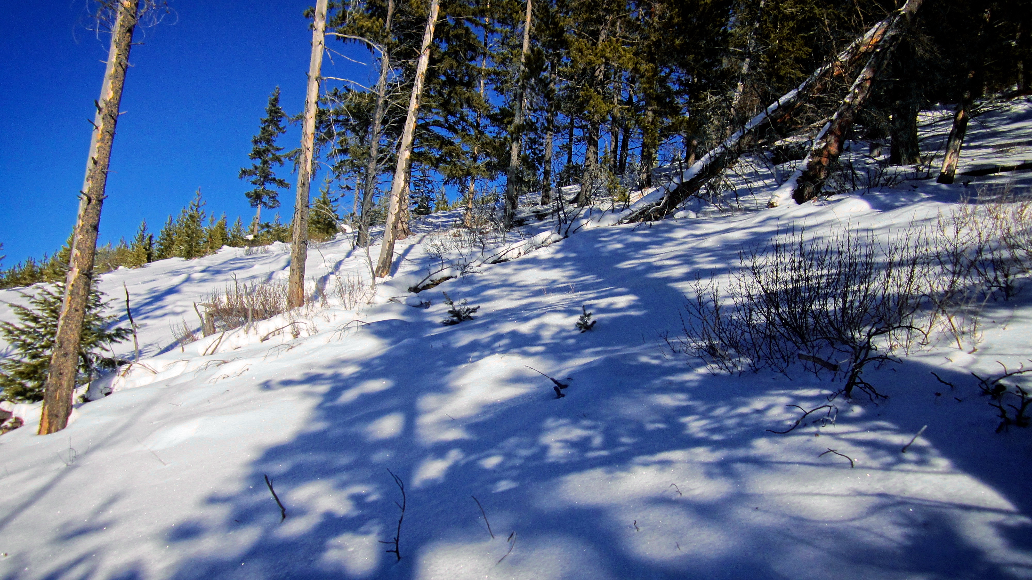
It didn’t take long before anything that resembled a trail disappeared under the snow. However, the forest was sparse and apart from some sections of deep snow, I had little difficulty bushwhacking.

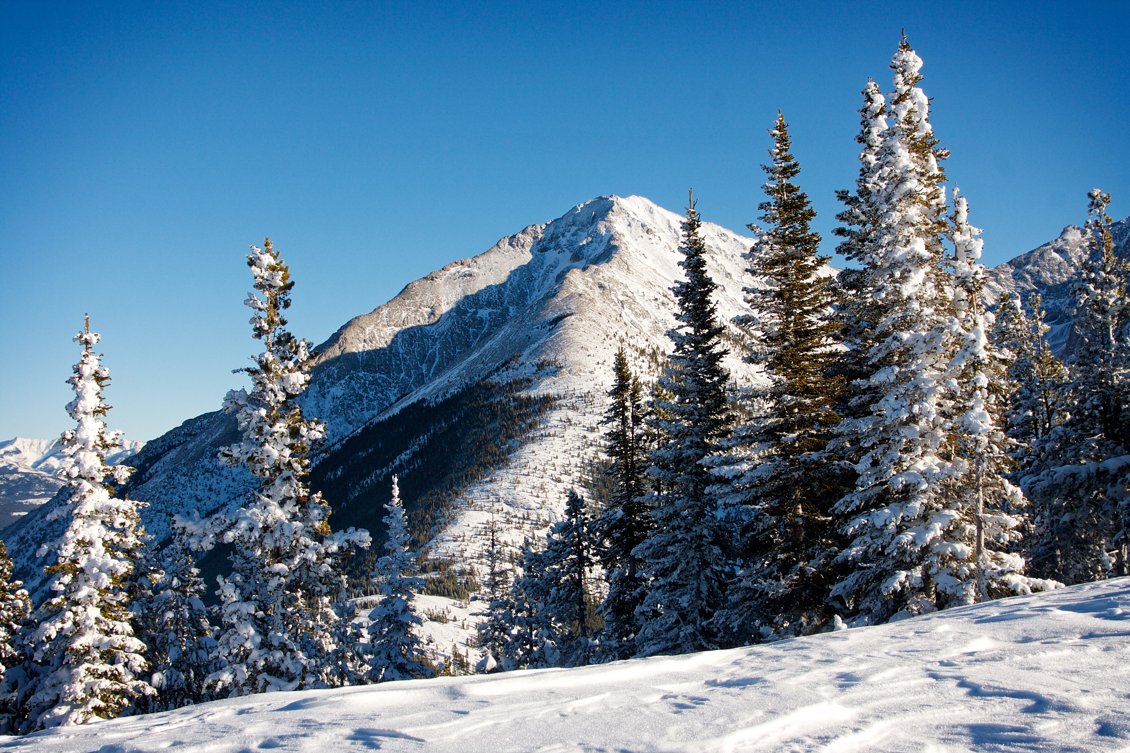
I angled slightly to the NW as I made my way through the forest until I came to open slopes. The summit of Loop Ridge is in the distance.
The snow was deeper on the open slopes than in the forest, so I stuck to the trees as much as possible.

Even so, my snowshoes still sunk deeply at times into the fluffy, dry powder.

Leaving the forest for more open slopes.

Some nice views of Sentry Mountain began to appear.

If a guy were smart, he might have brought some skis or a board with him to use on descent… 😉

Looking back at Tent Mountain from the open slopes of Island Ridge.

I was thankful that a herd of sheep had trampled down much of the snow on the upper slopes. Using their tracks made my ascent much easier, though I was careful to avoid the frequent patches of yellow snow…
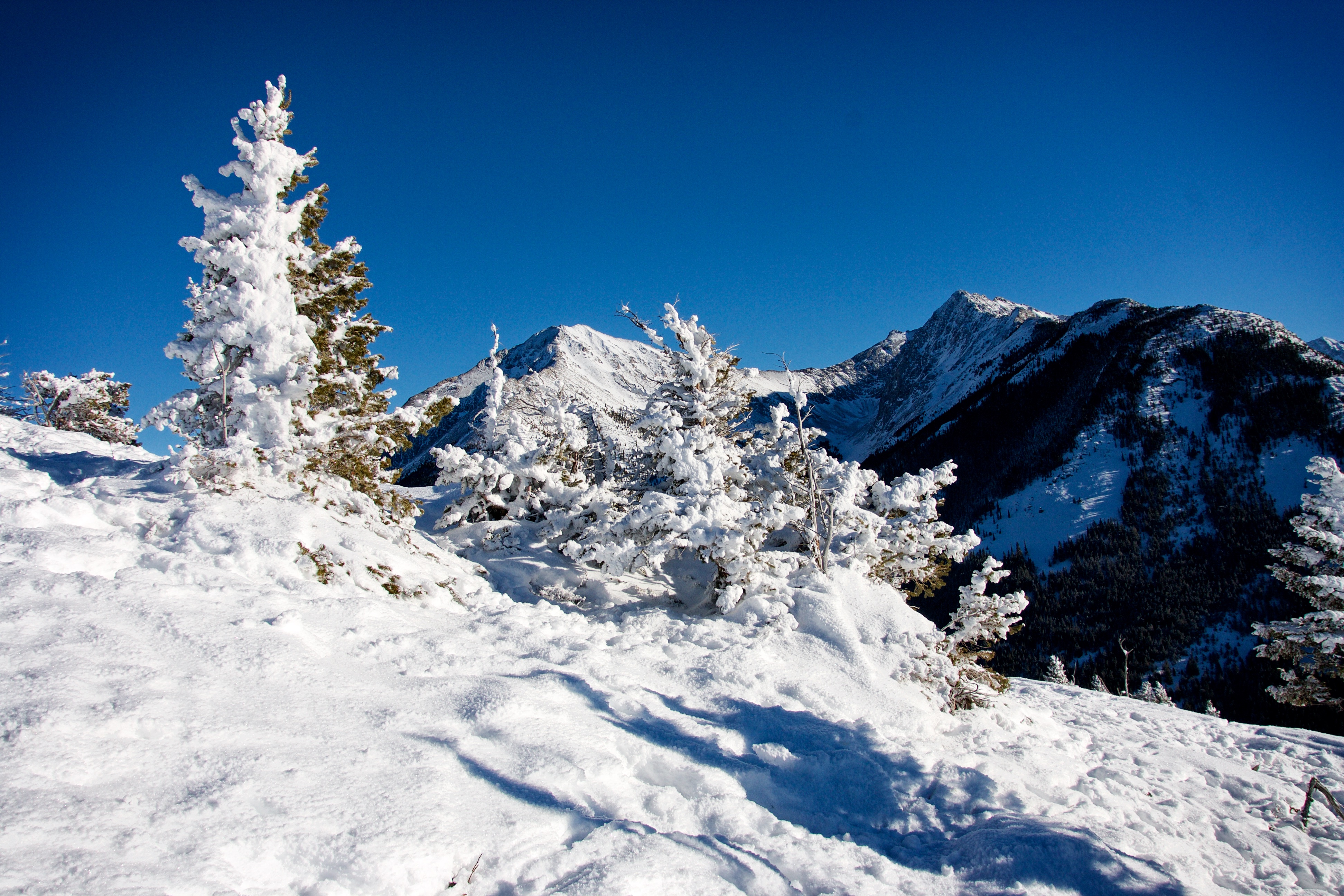
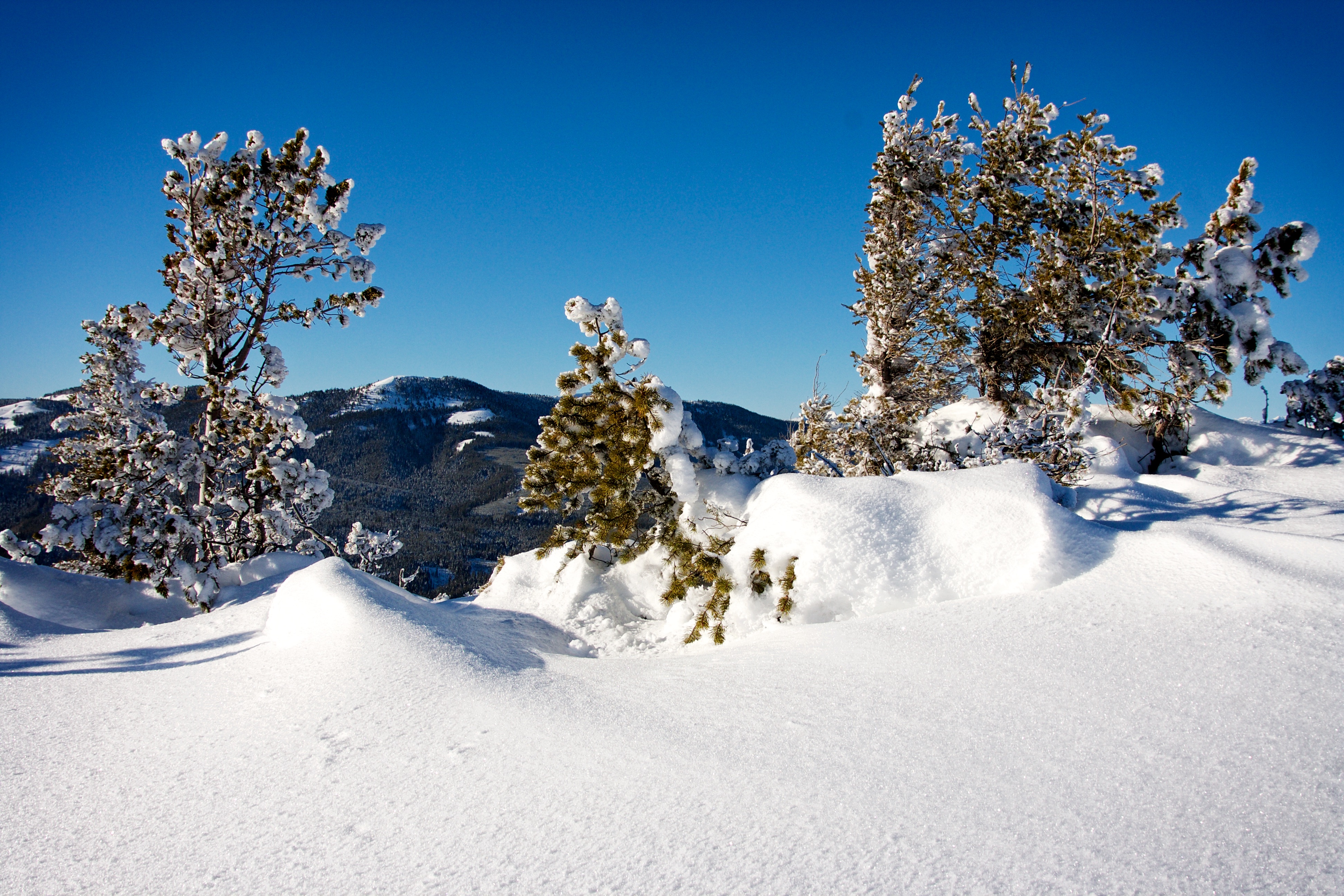
A windless day meant that there were still snow-covered trees near the summit.
The summit of Island Ridge (1832m). I was thankful that the metre deep drifts near the top were firm enough to walk on.

A panorama looking to the NE. From left to right: Phillipps Peak, Mount Tecumseh, Crowsnest Ridge (foreground), Crowsnest Mountain, and Sentry Mountain. Crowsnest Lake is in the centre.

A panorama to the north with Mount Erickson to the left of centre and “Alexander Creek Mountain” in the centre. If you look closely, you can see a layer of smog hanging above Highway 3 on the left.

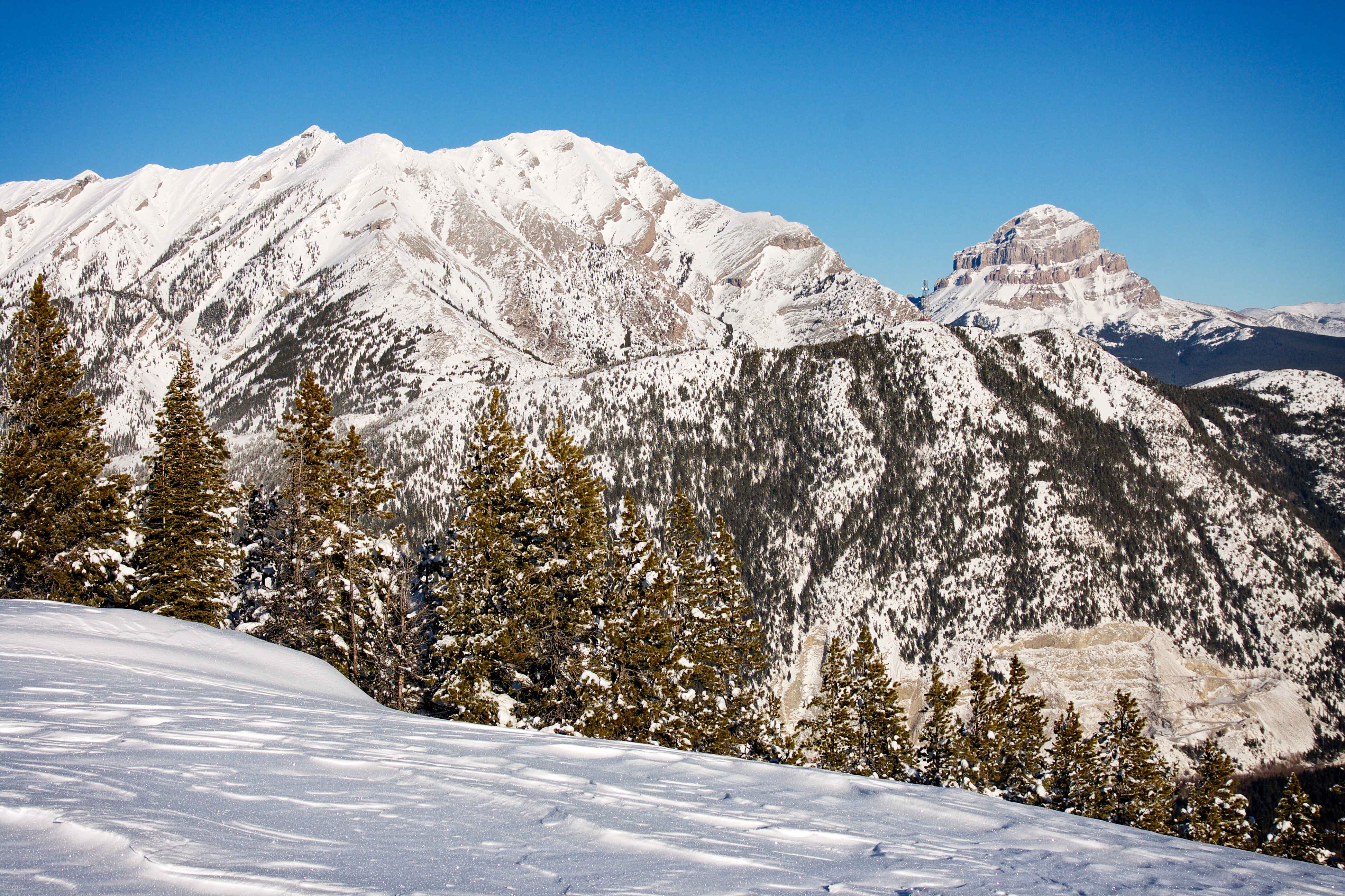
A panorama to the east. Sentry Mountain is on the left and Peak 1 (‘Mummy Mountain’) on the Northwest Ridge of Ptolemy (NROP) is on the right.

A panorama to the south. Tent Mountain is in the centre, Mount Taylor is to its right, and the little bare patch on the far right is Trail Hill.

A panorama to the west shows the entirety of Loop Ridge.

Island Ridge may not have been a tropical paradise but it definitely resembled a winter one!

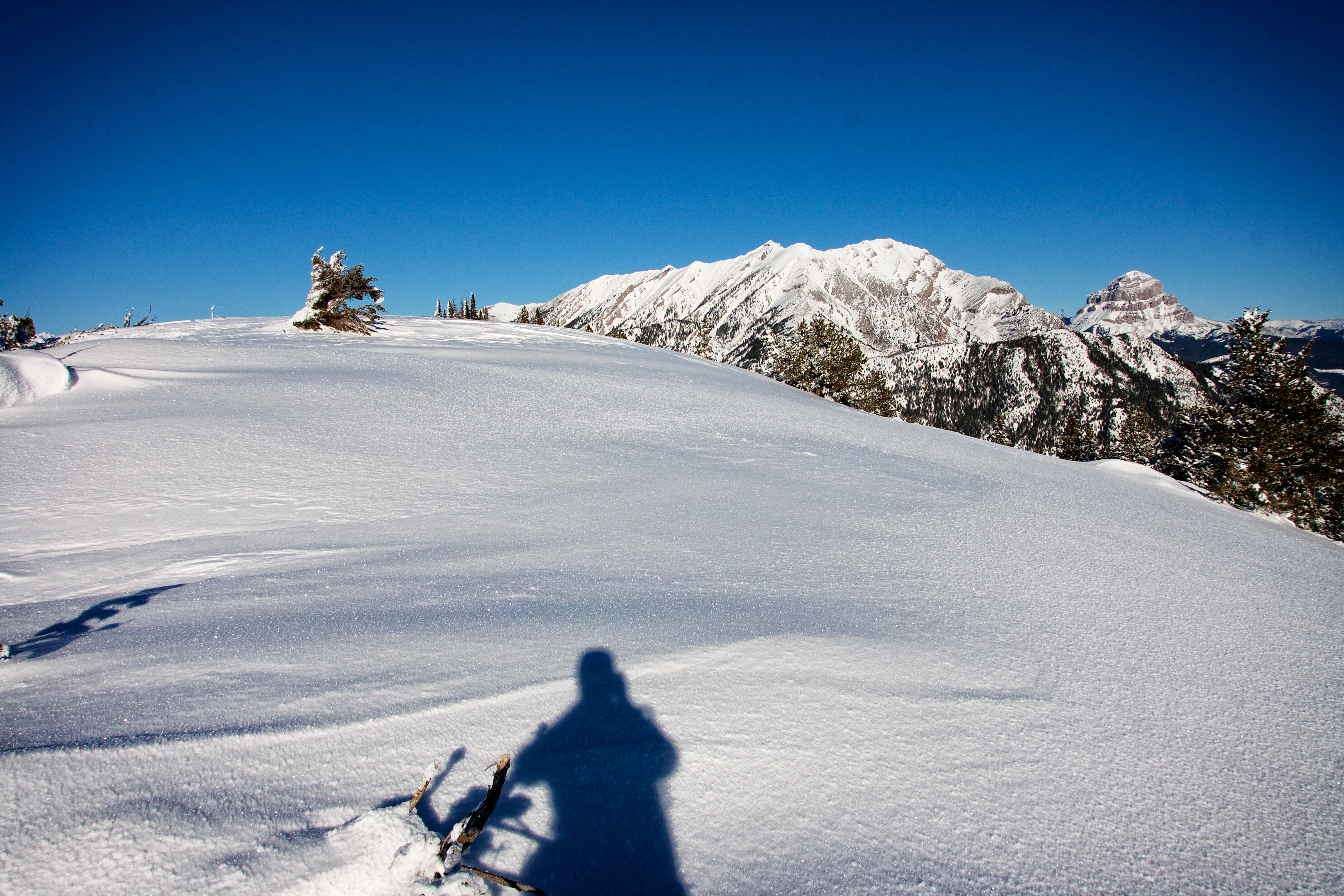
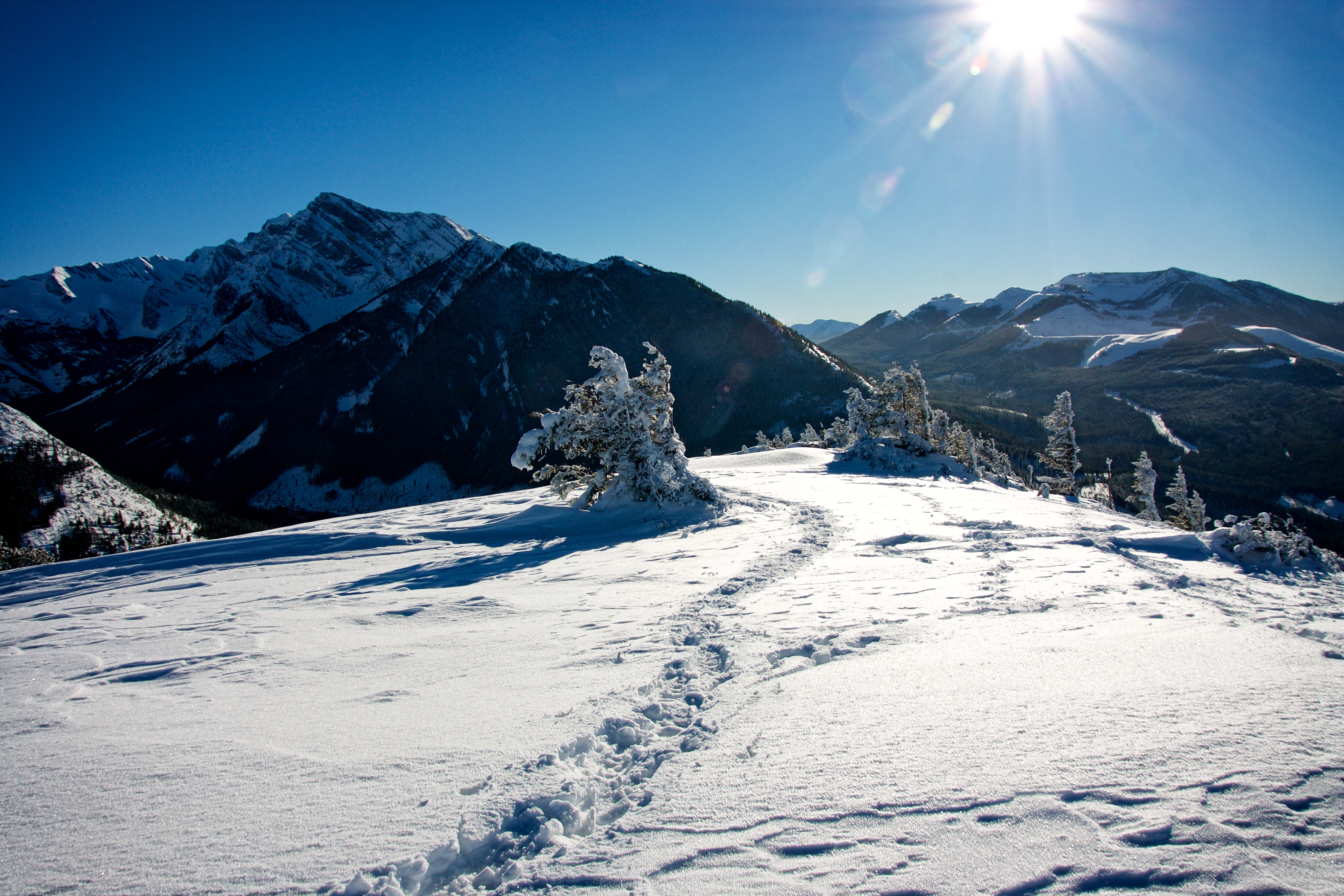
From the summit, I walked north along the ridge until deep snow hindered my progress. Here is where I turned around.

A telephoto of Mount Erickson.
Island Ridge offers great views of Sentry Mountain.
The summit of Mount Ptolemy can be seen poking over the left side of Peak 1 (‘Mummy Mountain’) on NROP. There are 3 distinct peaks on NROP, with the third, “Pharaoh’s Peak” being of equal or greater height than nearby Chinook Peak. NROP is an awesome traverse!
Island Ridge also offers some great views of the Pass. Phillipps Peak (left) and Mount Tecumseh (centre) are two peaks on the same massif. The communications tower on the summit of Crowsnest Ridge can be seen in the foreground poking up between Mount Tecumseh and Crowsnest Mountain.

The scars of an abandoned mining operation are visible on Tent Mountain.

A telephoto of the summit of Loop Ridge.
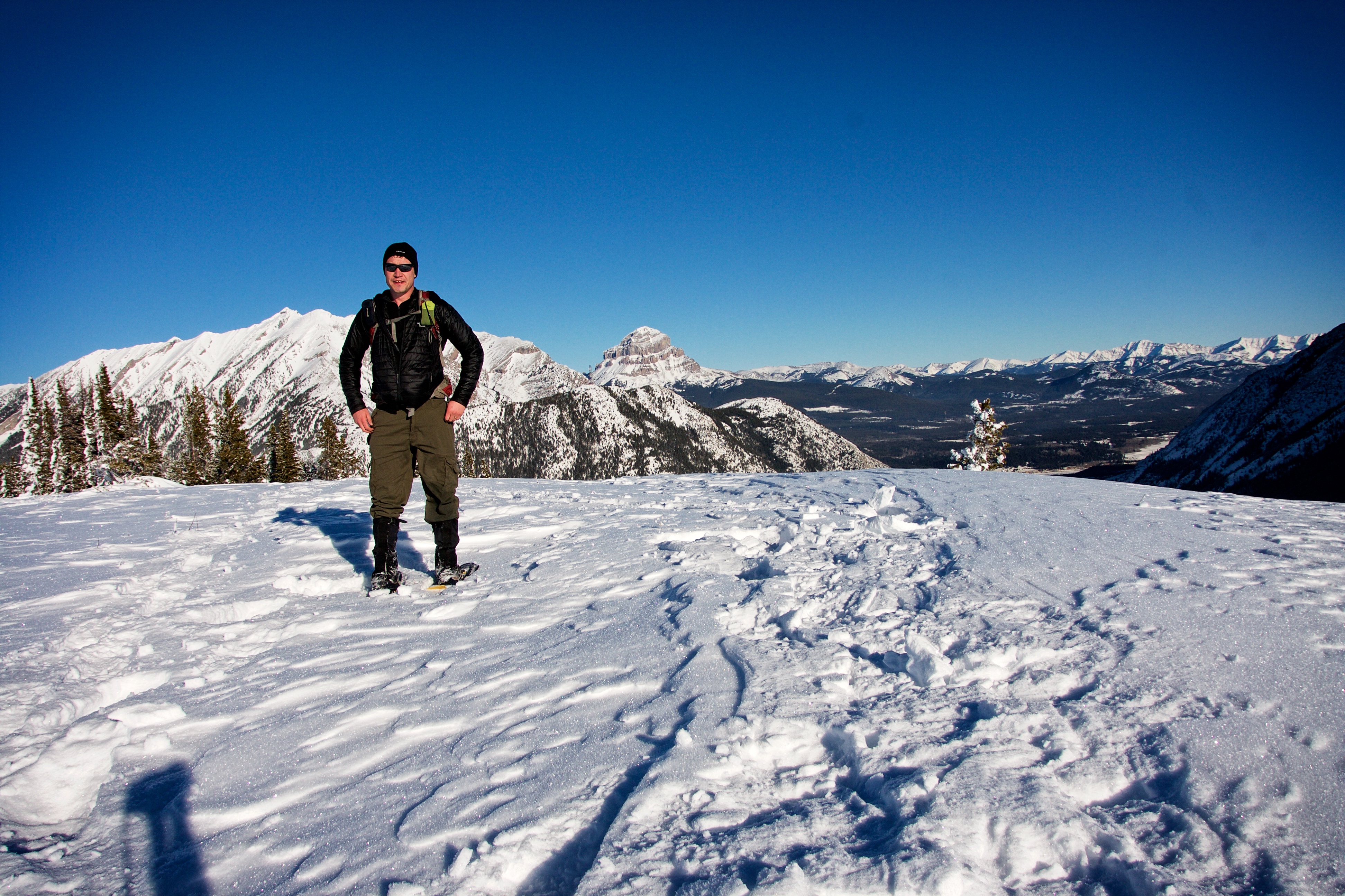
An awkward selfie on the summit of Island Ridge.

The winter scenery on top of Island Ridge was simply stunning.

One last look at Sentry Mountain from the summit.

The winter landscape makes it worth including one last photo to the north.

The Livingstone Range can be seen in the distance to the east.

Heading home…

…but not before stopping to snap a few more pics of the winter landscape.

I was glad that the drifts near the summit were hard enough to walk on.
Loop Ridge is framed by snow covered trees.

Did I mention that some skis or a board would have been nice?

Following a maze of sheep tracks.
It was a beautiful, windless day and I thoroughly enjoyed every minute of my quick descent.

Arriving back at Coal Road. The trailhead to Ptolemy can be seen in the centre.

Coal Road was drivable but nonetheless, I enjoyed the peaceful walk.

Crowsnest Creek provided some amazing scenery along the road.

Arriving back at my 4runner after a wonderful 3 hours of snowshoeing. Island Ridge is definitely worth a look if you have limited time and want to take in some stellar winter views of the Crowsnest Pass.


Leave a Reply