

⚠️ Hiking and scrambling are inherently dangerous activities. Please read my Disclaimer. ⚠️
For three years in a row, I’ve found myself snowshoeing on either this weekend, or the following weekend. So, when Brad invited me to join himself, Dave, Mark, and Keanan on a scramble up Mount Dungarvan in Waterton, I quickly checked the weather and was happy to see a decent forecast – some rain, but no snow and clearing as the day went on. Sure there would be wind, but that is par for the course in this neck of the woods. Indeed, I was particularly excited about Dungarvan after reading Alison Sekera’s recent and engaging trip report followed in turn, by Vern Dewitt’s excellent account. However, as we drove in along the Red Rock Parkway, my hope for an ascent was dashed as we could clearly see fresh snow on top of Mount Crandell and Mount Blakiston despite the minimal pre-dawn light. If there was snow on these peaks, then Dungarvan would also be covered and given its sections of exposure, this was not something that we wanted to attempt in winter-like conditions.
After stopping briefly at the Lost Horse Creek parking area to discuss our options, we decided to continue on to Red Rock Canyon and ascend Anderson Peak followed by Lost Mountain. If all went well, we would continue on to “Kootenai Brown Peak” and Mount Bauerman before returning along the Blakiston Valley trail. When we came to the south (second) gully and the scramble route that Andrew recommends up Anderson, we decided against it due to snow, so we continued on to Bob Spirko’s route that ascends the drainage beneath the Anderson/Lost col. Despite the intense wind, all went well until we climbed above 2000 m. Here, we began to ascend snow and ice-covered rock to the ridge between the summit and Anderson’s eastern peak. Coupled with the snow, was a blisteringly cold wind and near whiteout conditions. In fact, once we were on the ridge, we spent several moments debating which direction the summit was in because we couldn’t see anything!
To reach the summit we endured an unfettered crosswind wind that assailed us with staggering gusts. Our summit stay lasted less than 5 minutes before we made a hasty retreat down the mountain – with no one pausing to even suggest that we should continue on towards Lost Mountain, which under normal circumstances would be a quick trip. Indeed, despite my winter gloves, the exposed fingers that I froze taking pictures on the summit, did not thaw until we were halfway down the mountain. Welcome to winter in September -again! 😳
I look forward to returning to Anderson (and Lost et al) one day under more favourable conditions, because I know the views would be fantastic. In fact, I will settle for even the promise of a partial view! Notwithstanding the weather, the day was still awesome as I was in fantastic company and I was in the mountains. Those two things alone, make this trip a huge success in my books! 😊

To get to Anderson Peak, we drove to the Red Rock Canyon parking lot where the Blakiston Valley trail begins. At first, we considered using the south (or second) gully described by Andrew Nugara in More Scrambles in the Canadian Rockies; however, due to obvious snow in the upper sections of the gully, we instead chose to use a modified version of Bob Spirko’s 2007 route.
From the trailhead, we hiked for ~4.6 km until we could see the large Anderson/Lost drainage through the burned trees on our right. Here, we left the trail and made the short ~320 m hike to the base of the drainage. Instead of following immediately alongside the drainage as Bob had done, we stayed much further and higher to the right. Approximately 900 m from the base, we came to a gully that led towards the ridge between Anderson and its eastern peak. Ascending the gully kept us somewhat sheltered from the wind until we were on the ridge. Once on the ridge, it was a ~1 km hike with a final ~105 m elevation gain to reach the summit. In total, it was ~4.7 km from the base of the drainage to the summit with an elevation gain of ~1061 m. To return, we dropped almost directly from the summit to the drainage, from which, we returned to the trail and our vehicles along our previous route.

Our total distance travelled was 17.5 km with total elevation gains of 1393 m. Our total roundtrip time was 7 hours and 53 minutes.

Gearing up in the Red Rock Canyon parking lot. Even under pre-dawn light, we could see snow on Cloudy Ridge (centre) confirming that we had made the right choice to nix our planned ascent of Mount Dungarvan.

Crossing the bridge at the Blakiston Valley trailhead.

Enjoying the early morning hike alongside Blakiston Creek.

Despite being decimated by the 2017 Kenow wildfire, Waterton is still incredibly scenic. In the background to the right of centre is Mount Hawkins.

The southeastern aspect of Anderson is marked by numerous pinnacles.

Early morning sunlight on Anderson Peak.

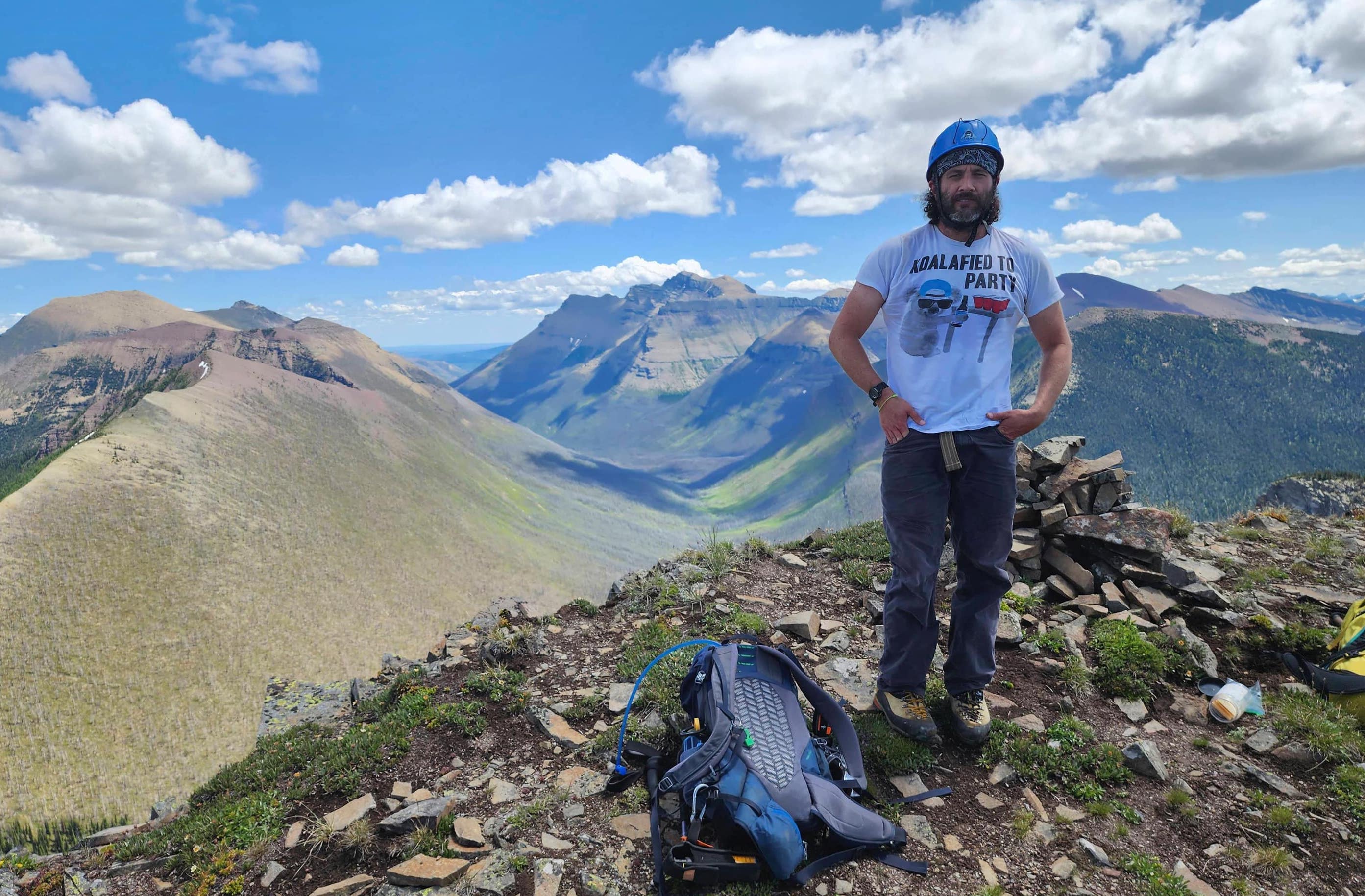
An experienced alpinist from the Calgary area, this was Keanan’s first trip to Waterton. Behind him is the day’s original objective, Mount Dungarvan.

Brad and younger Dave 😉 check out Andrew’s moderate scramble route up the south (or second) gully. The snow near the top made us wary of an attempt and in hindsight, this was a wise decision.

Brad leads us further on after foregoing the south gully. In front of him is Lone Mountain and on the far left, Mount Hawkins.

Approximately 4.6 km from the trailhead, we came to this pretty waterfall and our departure point from the trail.

Heading towards the drainage (centre) between Lost Mountain (left) and Anderson Peak.

Approaching the base of the drainage.

The view back shortly after beginning our ascent.

Looking up to Lost Mountain as we gain elevation…

And then over to Anderson. There was not much of either that could be seen.

Gazing back and across the valley at Mount Hawkins.

Always sporting ‘interesting’ hiking apparel, Brad unveils his newest acquisition. He was also proud of his secondhand pair of “Chuck Norris No Rip Action Jeans“. 😂

Gazing over to a beclouded Piinaquiium / Ahkoinimahstakoo (Mount Blakiston) (left).

Heading up increasingly snowy slopes.

Brad, Mark, and Dave enjoy a break from the driving wind.

Armed with Marlboros and absinthe, Brad prepares his body for the remainder of the ascent. 😳

In search of shelter from the wind, we decided to ascend this gully.

Gazing up the gully and into a cloud.

The group follows the old guy up the gully. 😉 In the distance on the right is Festubert Mountain.

A wide angle view back after gaining more elevation. That patch of sun was just there to taunt us.

The temperature dropped considerably as we gained elevation. Not attempting a scramble up the south gully was a wise decision.

Brad pauses to check out Mount Hawkins (left).

Gazing over to Lost Mountain.

Brad leads the way as we enter the upper section of the gully.

Mark looks less than impressed as he stares into the awaiting vortex.

Anyone want a popsicle?

Prior to reaching the ridge, we left the gully for what looked to be more gradual terrain.

Our last clear view before entering the clouds.

Fittingly, Brad passes by a pair of argillite lips puffing on a ciggy. 😂

Welcome to Waterton Keanan! 😂

Mark and Dave carefully tread over icy boulders.

Snow and ice definitely slowed our ascent.

A fleeting patch of blue sky welcomes us onto the ridge.

Glancing back under the same moment of clarity.

Anyone see the summit? The visibility quickly became so limited, that we had to pause and check our GPS to ensure we were headed in the right direction.

The view along the ridge towards the summit – which was still ~1 km away. From this point on, we battled a 100 km+ crosswind and severe wind chill. Fun times! 😂

Brad walks past some quick forming cornices.

Another momentary break in the clouds revealed the route to the summit.

While I paused to dig my winter gloves out from my pack, the group continued on towards the summit.

Nearing the top.

Brad fights off the crosswind as he closes in on the summit.

The rest of us follow behind.

The summit of Anderson Peak (2698 m).

The conditions were so crazy, that we only spent about 5 minutes on the summit before making a hasty retreat.
A quick panorama from the summit reveals… nothing! 😂 Note the wind gust knocking Brad off balance.

Bye, bye Anderson! No one even suggested continuing on to Lost Mountain, despite its close proximity.

Lost Mountain is actually lost…

We descended almost directly beneath the summit. Our ascent gully onto the ridge is on the far left.

Um, is Mark wearing a watermelon? Those Coaldale folks are so earthy. 😂

A wide angle view of our descent.

The clouds clear and for the first time all day, we could see the summit of Lost Mountain. Of course this had to happen as we were heading down…

Dave and Keanan make a beeline for greener pastures.

Brad and Mark choose a slightly different line of descent.

Arriving into that mocking patch of sunlight.

Keanan gazes across the valley to a still beclouded Piinaquiium / Ahkoinimahstakoo (Mount Blakiston).

While Dave practises his moonwalking skills, Keanan shows off his aptitude for ultra quick descents.

Keanan waits patiently for us at the edge of the drainage.

Gazing back to the col and our descent route.

While taking shelter in the drainage, Keanan notes the snow line is lower than it was earlier in the day.

The clouds lift and we can finally see the summit of Piinaquiium / Ahkoinimahstakoo (Mount Blakiston).

Keanan leads us down easier slopes.

Gazing back to blue sky over Lost Mountain. I will have to come back and tag it under more favourable conditions.

A clear view of Lone Mountain (foreground) and Festubert Mountain.

A telephoto of Festubert Mountain shows some healthy cornices beginning to form.

Heading back to the trail. Vern Dewit is correct to note that once the trees begin to fall in Waterton, it will make off trail access very difficult. Brad and I were already having flashbacks to little Cherry Hill.

I fully expect Brad to show up one day in hobnail boots. 😂

Back on the trail.

Winter may have arrived on the mountain, but the valley was still holding onto summer.

Enjoying the walk back.

Passing some beautiful red argillite.

Halfway back to our vehicles, we encountered a park ranger on horseback.

He was heading out to camp along Waterton’s borders to keep poachers at bay during hunting season. I have to say, he was pretty bad ass.

Arriving back to a very busy Red Rock Canyon parking lot after 17.5 km and 7 hours and 53 minutes. Despite the inclement weather, this was an extremely fun trip because of the company I was in – thanks Brad, Mark, Dave, and Keanan! It was disappointing not to be able to see anything from the summit of Anderson or to make the otherwise easy trip over to Lost Mountain. However, I will return one day and hopefully complete the entire Anderson to Bauerman route. EDIT: Done but in two different trips. 😀


Leave a Reply