
⚠️ Hiking and scrambling are inherently dangerous activities. Please read my Disclaimer. ⚠️
After enjoying the summit of “Blue Mountain” for the fourth time, it was time to make my third – and Raff’s first – trip over to nearby “Screwdriver Ridge”. I gave it this nickname several years ago because of its proximity to Screwdriver Creek and after not finding a local name like I did for “Blue Mountain”.
Our biggest concern was having to post-hole through lingering snow as we made our way through the trees. To avoid this, our plan was to make our way over to the ridge (right) above the drainage that Brad and I used to descend from “Screwdriver” in May 2020. Here, we could see plenty of dry patches that we assumed would help us avoid most of the snow.
However, my inner homing pigeon must have been turned on because I inadvertently took us on a near identical route to the May 2020 route I used with Brad. 😂 No worries though. The snow was minimal and the hiking was pleasant and ~3.5 km after leaving the summit of “Blue”, we were standing on the top of “Screwdriver Ridge”. Having a sunny, near windless day like today is the best way to get the most from the views of both locations. After a very leisurely time on top, we descended to the access road along the ascent route Andrew and I used in December 2020.
After a longer than anticipated absence from the mountains, this trip was just what the hiking overlords ordered. That I could enjoy it with an awesome guy like Raff made it so much better. Thanks Raff! 😊 Even though I’ve now made multiple trips to “Blue Mountain” and “Screwdriver Ridge”, I never tire of this area or its views. This location is definitely aa hidden gem for hiking and snowshoeing!

To get to “Blue Mountain”, we drove west from Pincher Creek on Highway 507 to the hamlet of Beaver Mines. At the T-intersection on the edge of town, we turned right (north) and continued on Highway 507 for ~1.1 km until we came to Township Road 6-2A. We then turned left (west) and followed the gravel road for ~2.8km until we came to a side road on the right that led to a Shell gas well. Here we parked on the side of the road just beyond an obvious cutline. This was our starting point.
The cutline demarcates private land and leased public land. All the land to the north of the cutline is leased public land and the leaseholder does not require contact prior to access if you are on foot. Nevertheless, this land is the livelihood of the leaseholder and so a high level of respect is required. A barbed wire fence runs up the middle of the cutline and I stayed on the north side of it until I reached the SE ridge. From here, we enjoyed the fun walk along the ridge until we came to where it intersects with the south ridge. The summit lies ~400 m to the north.
After spending a relaxing time on the summit, we decided to venture over to “Screwdriver Ridge” (1691 m), a slightly lower foothill located ~2.1 km as the crow flies to the west of “Blue Mountain”. Back in 2017, I had thought about making the two destinations into a loop, and back in May 2020 Brad and I proved it is a good loop. Be warned though, “Screwdriver Ridge” appears much closer to Blue Mountain than it is. It took us ~3.5 km of hiking to reach its summit.
From the summit of “Blue Mountain” we made the ~783 m trip to the top of an intervening ridge that Brad dubbed, “Meadow Mountain” because of the immense meadow on its west slope. We then descended another ~934 m to the valley floor, before beginning a relatively easy combination of bushwhacking and intermittent trail following for ~1.8 km towards the summit of ‘Screwdriver Ridge”. The final ~100 m or so up the south side to the summit was quite steep but otherwise, was not difficult terrain.
To descend, we used Andrew and my December 2020 ascent route which is a straightforward ~2 km trip (270 m elevation loss) down open grass slopes to the road. We had to cross a fence which we did by easily belly-crawling under it. Fences are important and so I always try to find a spot to cross where I don’t have to touch it so as to prevent damaging it – or me. We then followed the road for ~1.3 km until we came to a locked seasonal gate. After crossing the gate it was a short ~1 km walk back to our vehicles.
Please note: that the first ~900 m west of the gate, there is private land on either side of the road. The accessible public grazing lease does not start until you cross over the cattle guard ~900 m from the gate. While “Blue Mountain” is especially tempting to try from this section, don’t do it. An alternate access for “Screwdriver” and “Blue” begins through the gate at the cattle guard on the road, this way the fence doesn’t have to be crossed.

Our total roundtrip distance was 11 km with a total elevation gain of 657 m. Our total roundtrip time was 4 hours and 45 minutes.

Raff descends from the summit ridge of “Blue Mountain”.

While “Screwdriver Ridge” looks fairly close to “Blue Mountain” – it is after all, only ~2.1 km as the crow flies – in reality it requires much more hiking. Indeed, it took us ~3.5 km to reach the summit using a fairly direct approach. I think one of the reasons why it looks closer, is because you can’t see the immense meadow slope that leads down the west side of an intervening ridge that Brad nicknamed, “Meadow Mountain”.

Glancing back to the summit of “Blue”.

This snow patch on “Meadow Mountain” would present the only obstacle of the day.

Hoping for firm snow…

Dang it! The snow sucked and we were forced to post-hole. Fortunately it was short-lived and we were able to avoid the deepest sections.

On top of “Meadow Mountain” and looking down its massive slope. Our route up ‘Screwdriver” more or less followed the long treed ridge that starts in the foreground on the right.

What a gorgeous day to be in the mountains! 😁

Glancing back to the summit of “Blue”.

Arriving on the valley floor after a ~934 m hike (~178 m elevation loss) from the top of “Meadow Mountain”.

Raff crosses small creek as we start up the ridge.

Crossing the first large trail.

Easy bushwhacking.

Crossing a branch of the earlier trail.

The snow we were worried about never became a problem. Phew!

The last 50 or so metres to reach the summit was a steep grind. I definitely remembered this from my trip with Brad! 😂

Looking over to “Blue Mountain” as we near the summit.

The long summit of “Screwdriver Ridge” (1691 m).

“Blue Mountain” looks much further away from the summit of “Screwdriver Ridge” than Screwdriver looks from “Blue”.

The summit is comprised of three small bumps that are roughly equal in elevation.

A pano to the west…

And now one to the northwest.

A pano to the north.

On the third summit bump and looking back along the ridge.

A closer look at the summit of “Blue”.

A pano to the south.

Gazing across to Burmis Mountain.

Looking over to Hillcrest Mountain.

I still have lots to accomplish on the Flatheads and hopefully 2023 will help that ‘To Do’ list. Of particular interest is Mount Darrah (left) along with some of its unnamed outliers like N1 and N2. To the right of centre is Mount Pengelly and Mount McGladrey with another peak that is high on my list, Ptolemy SE5 on the far right.

A closer look at the south end of the Flatheads includes: Darrah SE 4 (far right); Centre N1 (right); Centre Mountain (right of centre); Centre SE1 (centre); Centre E3 (centre); “South Flathead Peak” (left of centre); and Hollebeke Mountain (far left).

Mount Backus can also be included in a loop with “Screwdriver” and “Blue”.

Looking south at Prairie Bluff (far left), Drywood Mountain, Pincher Ridge, and Victoria Peak (far right).

Raff photographs a screwdriver on “Screwdriver Ridge”. 😂😂

Enjoying the views.

This was my third trip to this spot. I’m trying very hard not to make a joke with the words ‘screw’ and ‘blue’ in it… 😂

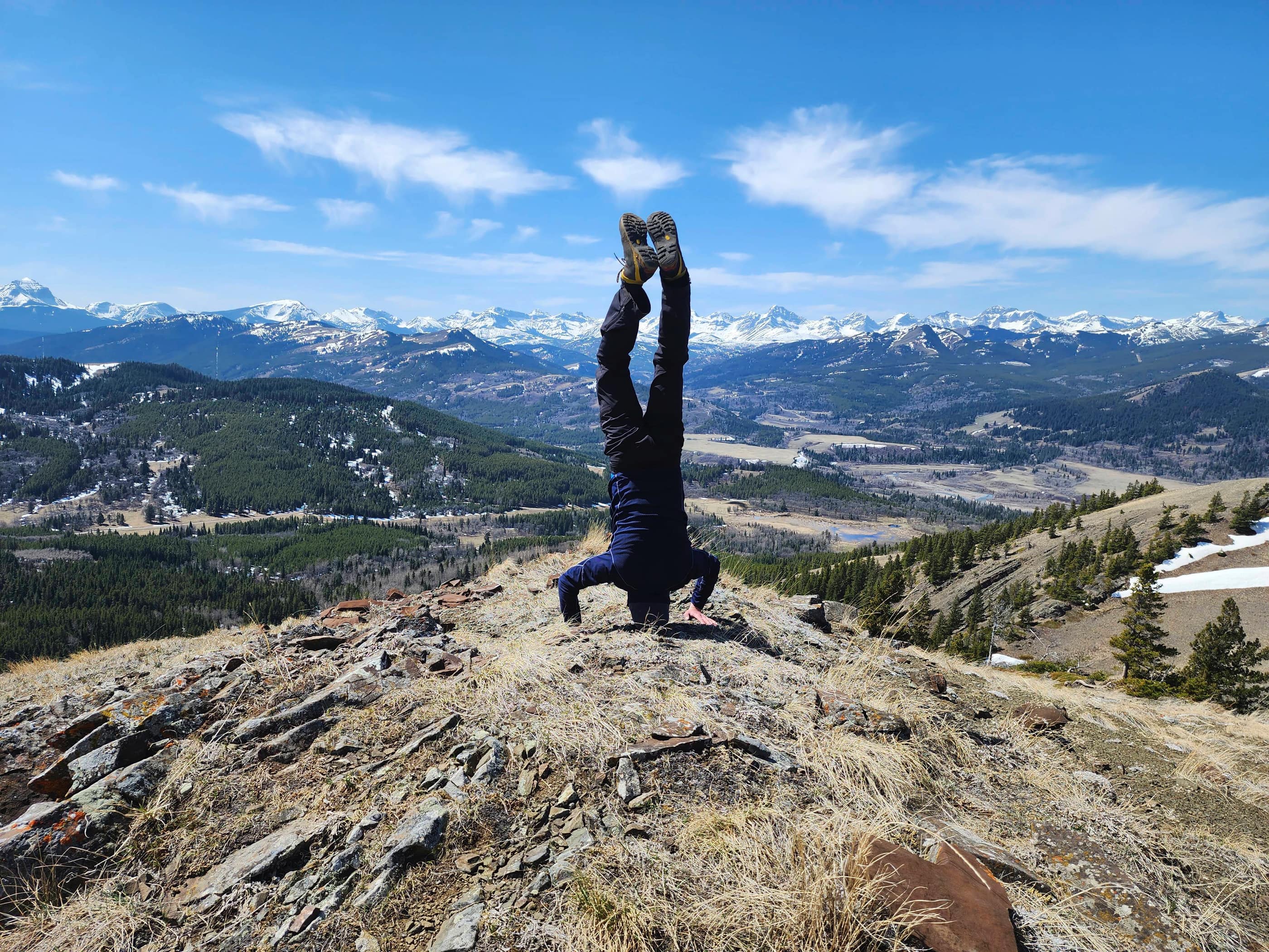
Raff celebrates the summit with his trademark headstand. 😂

Time to head back…

But not before another round of photos.

Heading back and along the ridge.

One more look at “Blue Mountain”.

Descending easy slopes to the road.

More pasqueflowers in bloom.

Our descent followed the ascent route that Andrew and I used in December 2020.

Just prior to reaching the bottom, we had to belly crawl under a barbed wire fence.

Obviously this is a tasty tree! 😂

This tributary to Screwdriver Creek was easy to cross.

Back on the road and making the easy hike back.

Approximately 1.3 km after reaching the road, we came to a seasonal gate.

Had we been thinking, we would’ve parked one of our vehicles here…

No worries though! It was only another easy kilometre or so back to our cars. Even though I’ve now made repeated trips up “Blue Mountain” and “Screwdriver Ridge”, I’m still enamoured with the area and will gladly return again and again. 😊 A huge thanks to Raff for allowing me to tag along and for the awesome company!!


Leave a Reply