

After spending the last six weeks on IR following hernia surgery, it was great to have the all clear to head back to the mountains. The only question was, what backcountry objective would be a good test to see if my guts will stay in my body? I know it’s not a common question, but really, it’s one you should ask before every trip you make. 😂
Well, the answer for today was not hard to find. Earlier in the week, Andy had sent Brad and me, a photo of an intriguing waterfall located along the drainage that extends from the northeast base of the Southwest Summit of Drywood Mountain all the way to where it joins North Drywood Creek downstream of North Drywood Falls – feel like you need a compass yet?
Having travelled some of the lower section during our 2023 snowshoe up North Drywood Ridge (NDR), Brad and I knew that getting to the waterfall by following the drainage would be tricky, as it was comprised of a series of steep canyons. However, from his vantage during his “Gasser Outlier” trip the previous weekend, Andy figured we could gain access to the meadows above the drainage by using the trail that leads to both the “Gasser” ice-climb and Chris Goble’s sport climbing routes at “The Cave”. Once there, we could see if there was a feasible way to bushwhack our way to the waterfall. If all went well, we would continue to the SW Summit and then make a loop by returning along North Drywood Ridge.
After a quick bike and hike, we soon found ourselves in a lovely meadow looking down and along the valley towards the waterfall. However, the realization that we’d have to navigate the large forest situated between us and our destination was somewhat daunting. Nevertheless, we were determined to try and shortly after crossing the meadow, we found ourselves on a small trail that led into the forest.
As soon as the trail entered the forest, it became more distinct and travelling became easy. It wasn’t long before we noticed weathered saw marks on small stumps, which meant that someone had deliberately made this trail. After bouncing around some possible reasons, we concluded that the trail was probably used by sheep hunters in the fall to gain access to the more remote bowls and slopes of Drywood Mountain. Whatever the reason, its existence meant that we could rapidly make progress up the valley.
However, the forest giveth and the forest taketh away. After cruising through the trees for ~700 m, the trail crossed the creek only to disappear on the other side. After searching for it for several minutes, we realized that we could simply follow alongside the now, mostly open banks of the creek for ~750 m to reach the waterfall. In hindsight, the trail probably continued inside the creek bed, as in the fall, there would little to no water flowing through it.
The waterfall itself did not disappoint! Cascading off a headwall, its lower half disappeared beneath a thick sheet of snow, masking its true size. Discovering that we could scurry between the headwall and the snow sheet, meant that we could walk almost behind the waterfall itself. From this vantage, we had a glimpse of its true size as water thundered down and underneath the thick sheet of snow. It was truly impressive, though, as we’d discover later in the day, it was not the only large waterfall inside the drainage, but more on that later…
As the current waterfall is situated beneath, “Redwood” – the red argillite high point on Drywood Mountain immediately southwest of the true summit – we nicknamed it, “Redwood Falls”. Pleased with how quickly our journey had been – and that my guts were still in place despite skewering my incision on my bike stem during the ride in – we decided to continue with our plan to reach the SW Summit of Drywood.
After Brad found a weakness in the headwall a short distance from “Redwood Falls”, we made the quick scramble and soon found ourselves looking over the edge of the falls. Besides the power of the water, what really surprised us was the sheer number of smaller waterfalls there were to come. Indeed, shortly beyond the falls, was a narrow red argillite canyon that was ripe to explore. As we made our way along, we encountered one waterfall after another. It was scenic enough that it was like travelling through a mini version of Red Rock Canyon in Waterton – and I was sad when it ended.
Beyond the canyon, we found ourselves in the huge bowl / valley beneath the SW Summit. As the drainage was now covered in a thick layer of firm snow we put on our crampons and resumed our hike. In fact, the snow led all the way to the false summit.
After stopping for a quick lunch, we continued until we were at the slope beneath the false summit. Here, we temporarily parted ways, with Andy choosing to follow the remnants of the drainage upwards, while Brad and I chose to stay on the snow. Reuniting just prior to the summit, the three of us then made the short walk onto the summit. As the weather was next to perfect with barely any wind, we enjoyed a relaxing time while enjoying the views.
Now that Phases 1 and 2 of our plan had come together, it was time to see if we could pull off Phase 3: completing the loop by descending along NDR…
Be sure to read Andy’s famous trip report! [link coming]
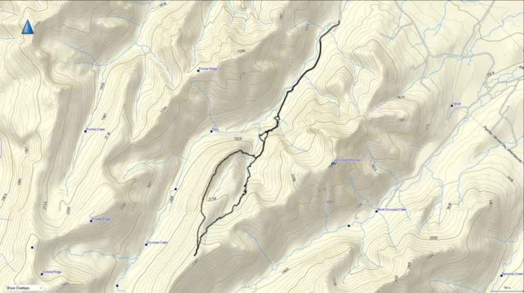

To get to “Redwood Falls”, the Southwest Summit of Drywood, and “North Drywood Ridge”, we drove south from Pincher Creek on Highway 6 until we reached the Shell Waterton Complex Road (Township Rd. 43A). We then turned onto the road and drove west for ~9.1 km until we came to a junction with a gravel road near to the entrance of the plant. Here, we turned left and onto the gravel road where we continued for ~3.9 km until we reached Butcher Lake. We then turned left and onto another gravel road immediately prior to the Lake, following this road for ~1.4 km until we came to a junction where we could either turn left or keep going straight. We kept going straight for another ~610 m and arrived at a locked gate and a parking area. This is the trailhead for North Drywood Falls and our starting point.
We then biked for ~1.9 km until we came to a fork in the trail. We took the left fork while the main branch continued to the right. From the left fork we rode and pushed our bikes along the single track trail for ~750 m until we had a clear view of “The Gasser” waterfall / ice climb. We then set our bikes aside and hiked the remainder of the trail to “The Cave”.
From “The Cave” we continued to follow the trail along the base of the cliff until the cliff ended and we could find a clear way to hike up to the meadow that overlooked the valley. In the meadow we found a small path that we began to follow. Once it entered the trees it became larger and we followed it for ~700 m until it crossed the creek and disappeared.
An easy hike along the creek brought us to the entrance to a small canyon downstream of “Redwood Falls”. From here we had to gain elevation to reach the falls and the headwall. In total, from where the trail crossed the creek to the headwall and “Redwood Falls” it was ~750 m. The trip from the top of the falls and through the canyon to the start of the bowl beneath the SW Summit was a delightful ~400 m. From the start of the bowl to the SW Summit it was a ~1.4 km hike (328 m elevation gain).
After enjoying the views, we made the very easy ~1.2 km (287 m elevation loss) descent to “North Drywood Ridge”. We then followed NDR until we came to its northeast end where we descended its east slopes until we were at treeline. From here we then made a heinous bushwhack of several under metres until we reached the creek and another large waterfall. We crossed the creek and ascended the steep bank for ~107 m until we reached the trail that we used earlier in the day. From here we followed our route back to the trailhead.
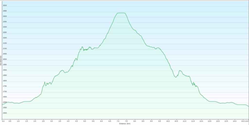

Our total roundtrip distance was 14.8 km and our total roundtrip time was 9 hours. Out total elevation gain was 1149 m.


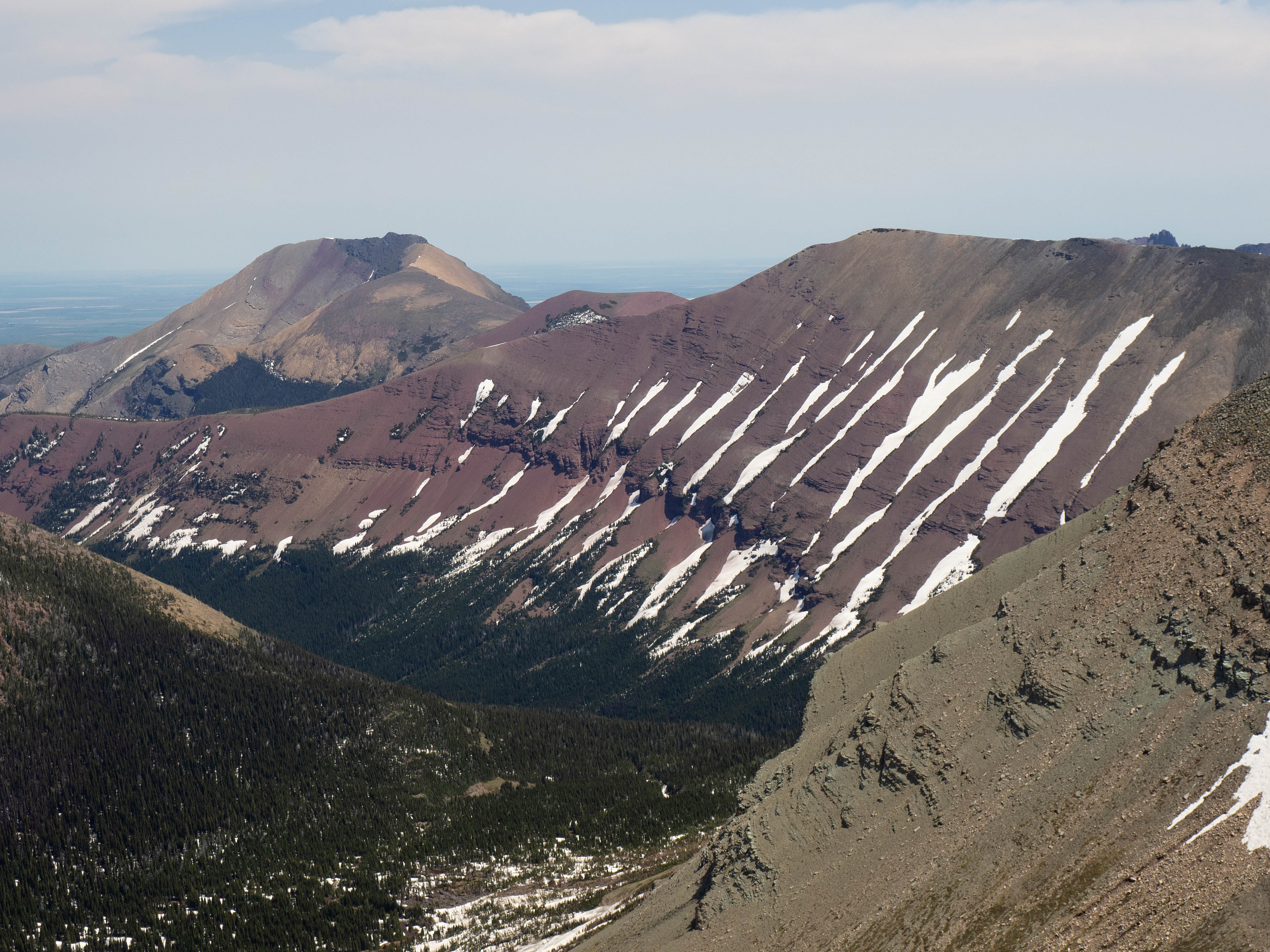
Two of our three objectives from the trailhead, with the SW Summit of Drywood in the centre and “North Drywood Ridge” (NDR) on the far right. Brad and I nicknamed it NDR during our 2023 snowshoe trip because it sits directly above North Drywood Falls. (Photo by Andrew Nugara)
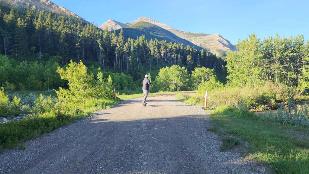
At the trailhead, we met a guy who was doing a solo drive from Indiana to Alaska. Along the way, he was visiting interesting places and one of his stops for today was North Drywood Falls. After a great chat, we said goodbye and he set off on his electric one-wheeler for the falls, holding his coffee in hand.
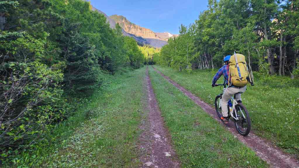
Starting our ride in. As I had just been given the all clear to resume normal activities after hernia surgery, I was not expecting my first test to come so early in the day. Shortly before taking this photo, the chain on my bike slipped as I was pedalling while in an upright position. This caused me to lurch forward and hit my incision on the handlebar stem, causing some minor bleeding. Though painful, I was able to slap on a bandaid and keep going. Thankfully, it healed quickly and I’m no worse for wear. 🙂

Brad and Andy discuss the plan for the day. NDR is in the centre and “The Gasser” Outlier is on the left. The SW Summit is in the far distant centre.

Approximately 1.9 km from the trailhead, we came to a fork where the main trail continues to the right. We would take the left fork as it leads to “The Gasser” and “The Cave”.
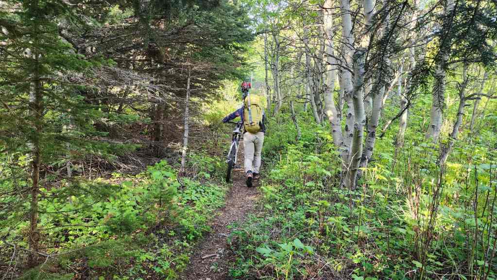
Pushing our human-powered bikes up the trail.

Starting off on foot after ditching our bikes. “The Gasser” is the waterfall on the left and “The Cave” is just to the right of centre.

The view back. It was a perfect weather day, which hasn’t been the case for the past several weeks – but what do I care? I wasn’t able to hike anyway. 😂 (Photo by Andrew Nugara)
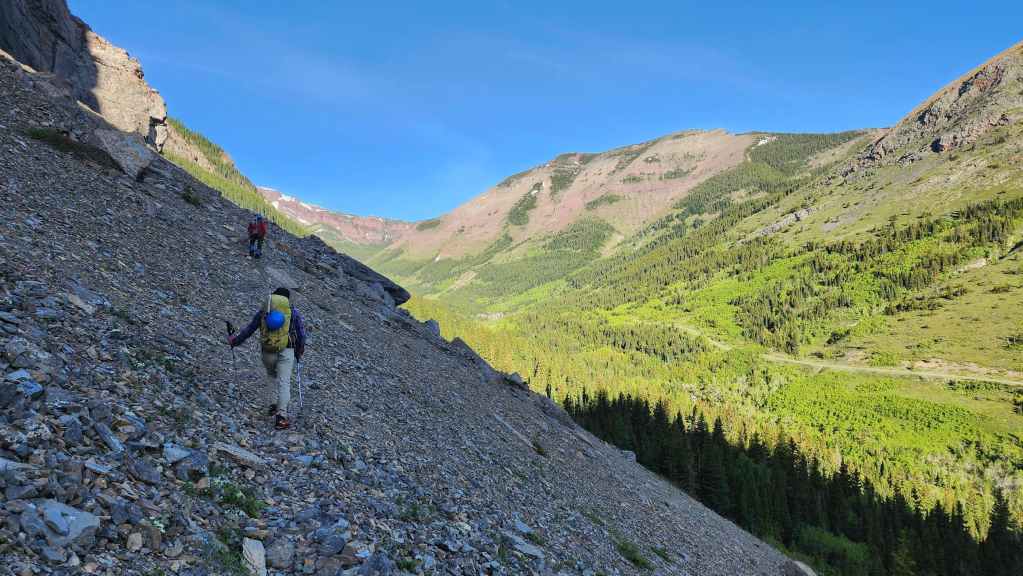
Following the trail to “The Cave”.
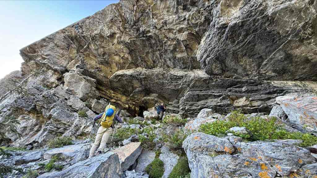
Arriving at “The Cave”. (Photo by Andrew Nugara)
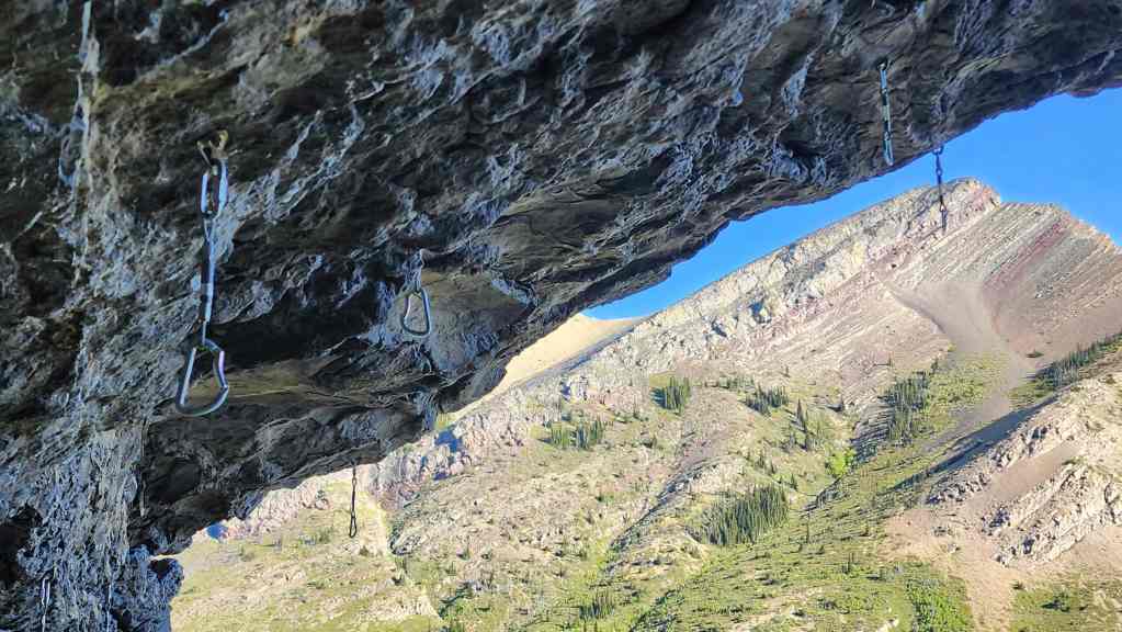
Legendary (and that’s not hyperbole) local climber, Chris Goble, pioneered two routes inside “The Cave”: “Jugular” 5.12c and “MacDuff” 5.11a. In fact the entire lower tier is bolted with tons of sport climbs from Chris. Go buy his book and see for yourself! 🙂
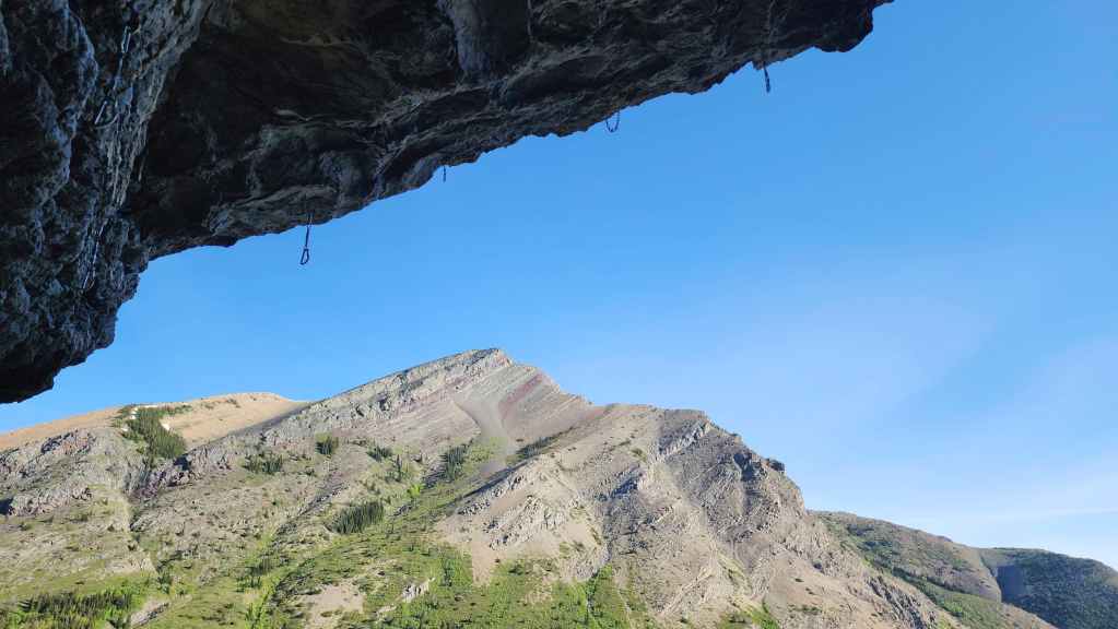
The view towards Pincher Ridge from inside “The Cave”.
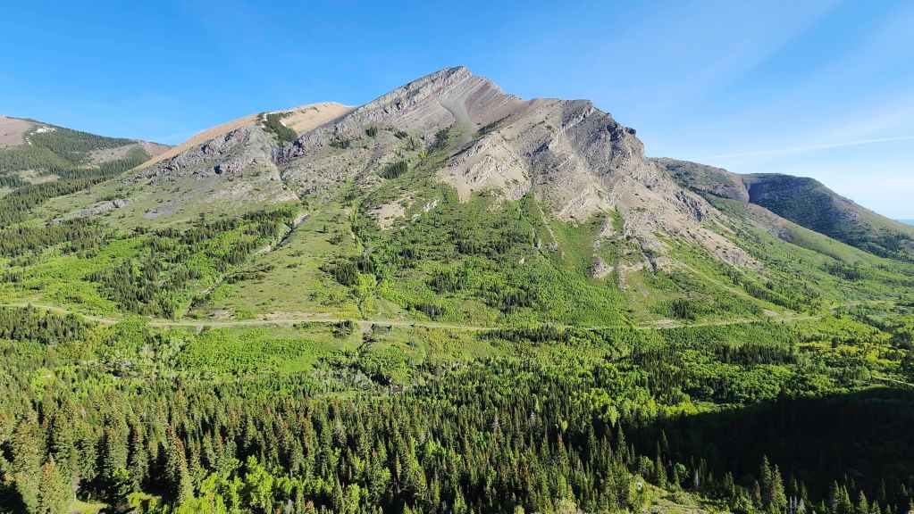
A more complete view of Pincher Ridge.
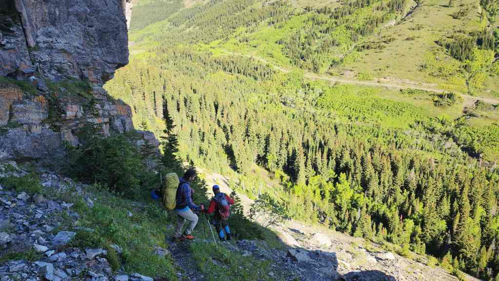
Leaving “The Cave” and following the trail along the Lower Tier of sport climbs.

There are so many routes bolted along the way!
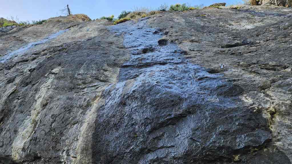
A bolted route that might not be so fun when it’s wet like today.

Another route that’s more my speed.
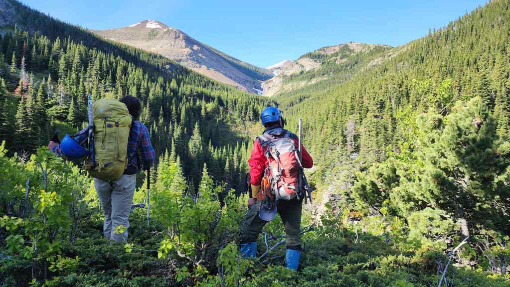
Looking along the valley towards “Redwood Falls” (centre).
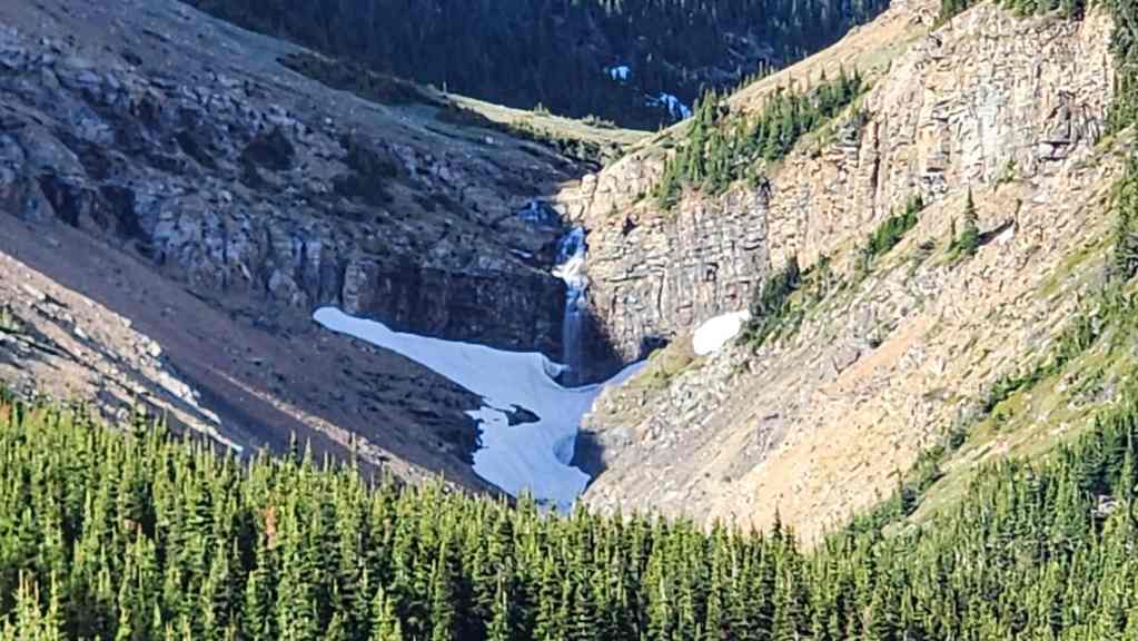
A grainy telephoto of “Redwood Falls” and the headwall. We thought the falls looked cool, but we were not expecting all of the other waterfalls above it.


In the upper meadow we found a small trail and began to follow it. NDR is on the right.

The small trail continued into the trees. (Photo by Andrew Nugara)
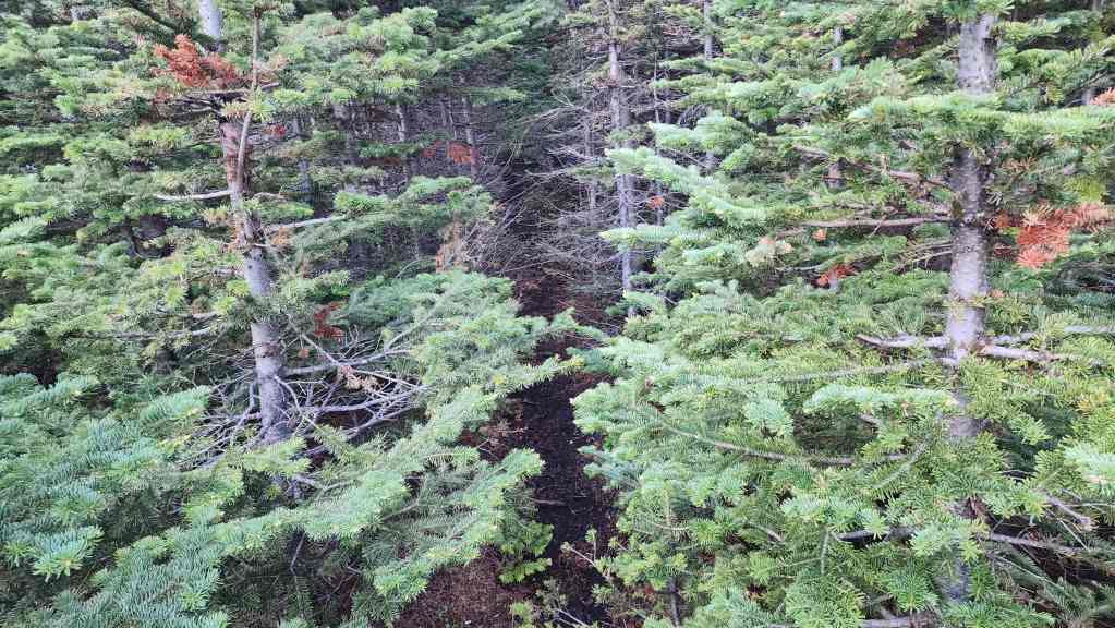
Entering the trees…


Wow! The trail got even better once it was inside the forest. Weathered saw marks indicated that it was human-made. Perhaps by sheep hunters…? Or maybe just really talented bears? 🤔
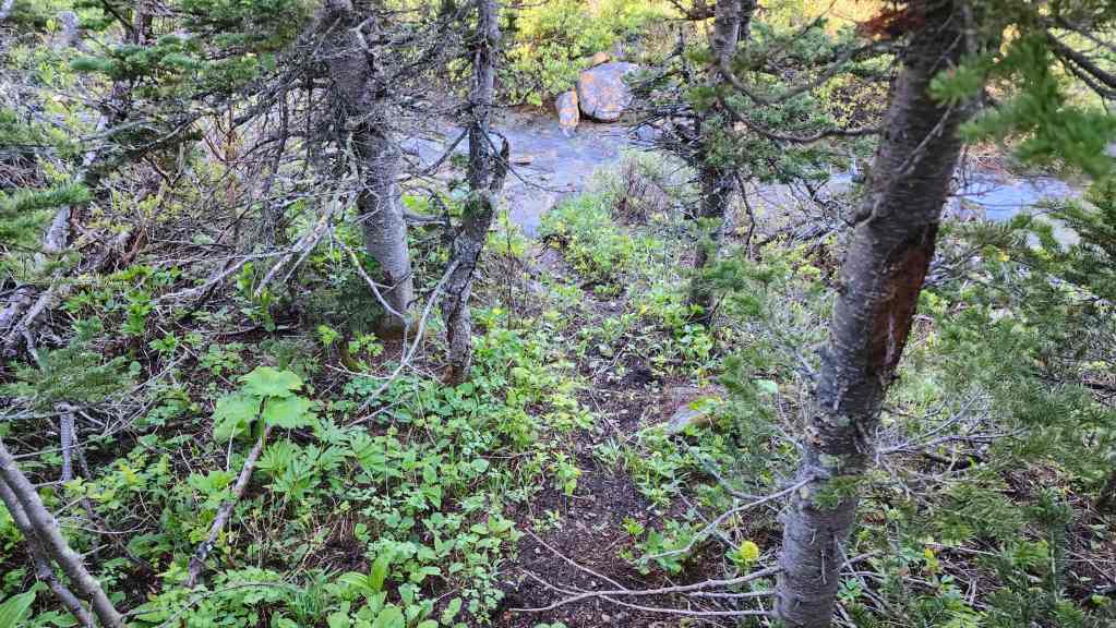
After a quick ~700 m hike, the fantastic trail crossed the creek… where it completely disappeared on the other side. In hindsight, it probably followed the creek bed as it would be dry in the fall.
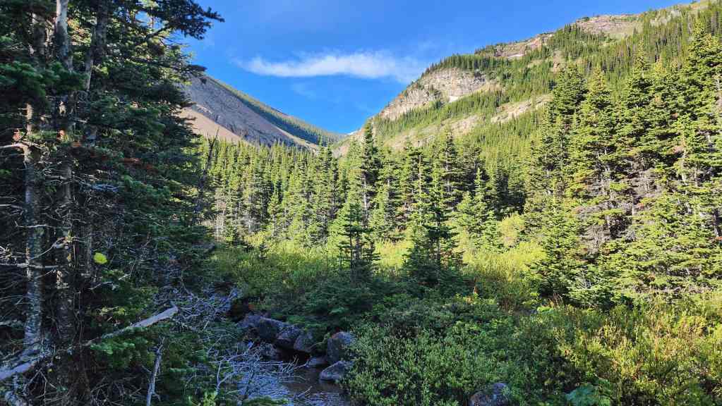
Despite losing the trail, we could fairly easily follow alongside the creek for the remainder of the ~750 m to the falls.
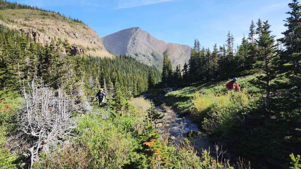
The trail saved us so much bushwhacking that following the creek was easy peasy.
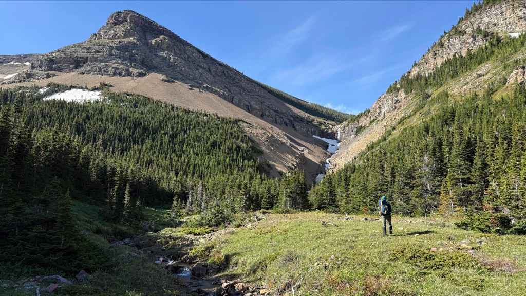
Getting closer! (Photo by Andrew Nugara)

This meadow beside the creek would be a sweet place to camp!

Starting up the small canyon that leads to “Redwood Falls” (Photo by Andrew Nugara)

While we stayed higher on the bank… (Photo by Andrew Nugara)

Andy stayed next to the creek – at least for this section.
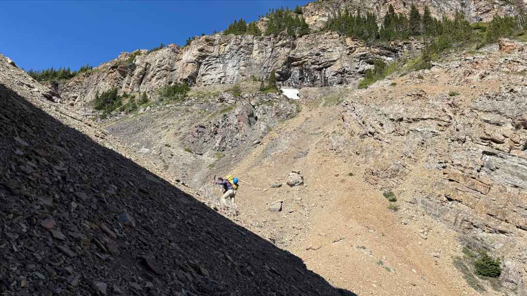
Brad leans into the steep terrain.

Almost there!
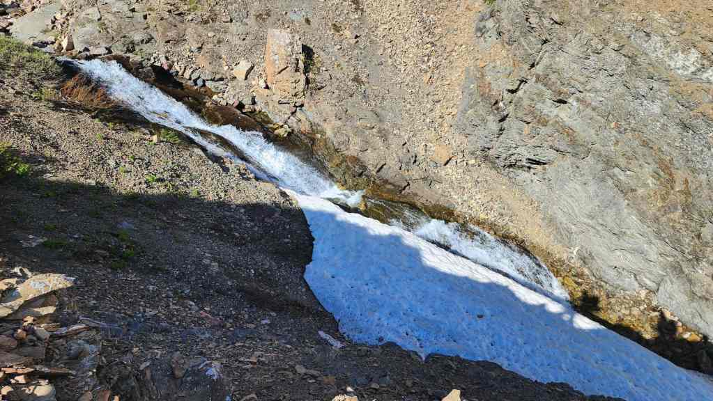
A taste of what’s to come.

The snow was so deep that only half of the waterfall was visible.
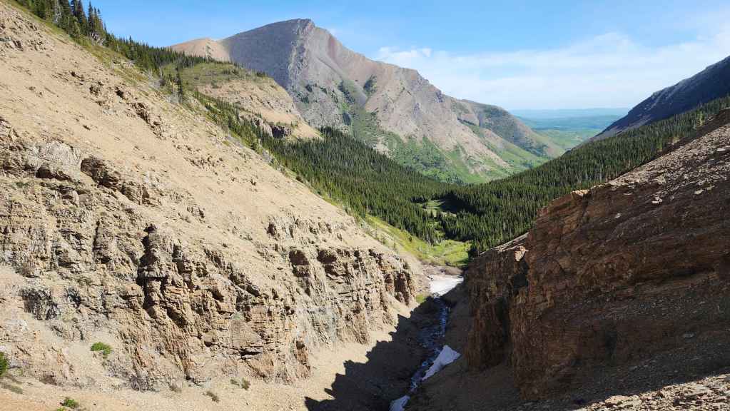
The view back and along the drainage.
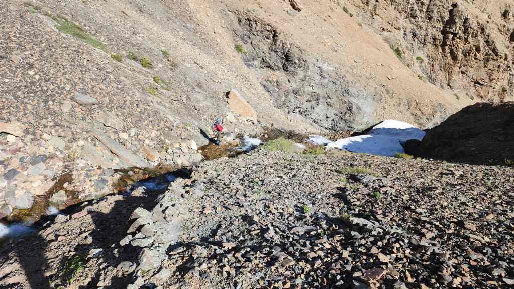
Meanwhile, Andy has descended back into madness… erm, I mean the creek. 😂
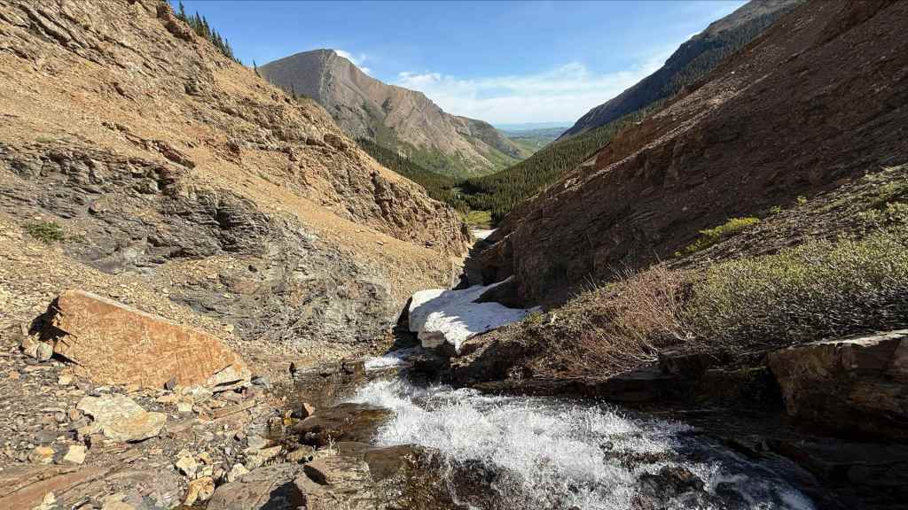
Where he is able to snap some cool photos. First, the normal exposure… (Photo by Andrew Nugara)
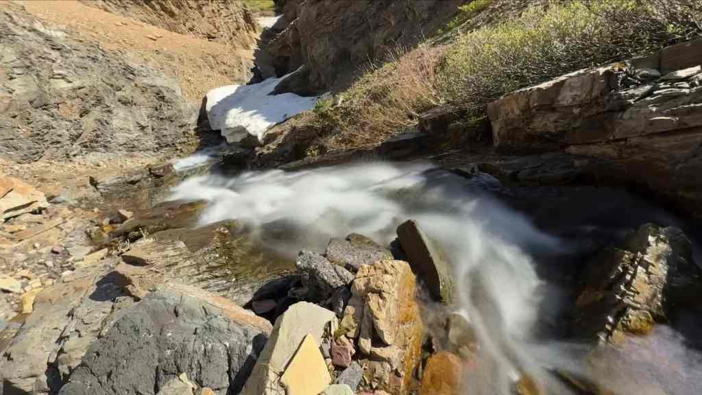
And then the pastoral, long exposure. (Photo by Andrew Nugara)

Andy’s view up to Brad and I from the previous two photos. (Photo by Andrew Nugara)
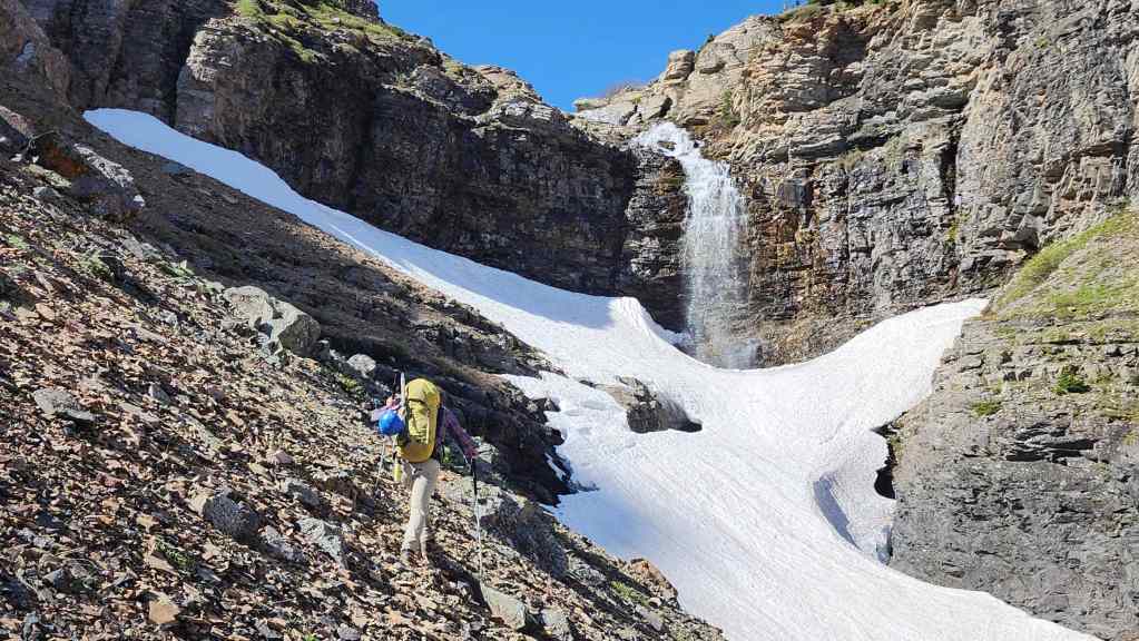
Arriving at “Redwood Falls”. We chose this nickname because it fit with the nickname, “Redwood”, that Brad gave to the red argillite high point on Drywood Mountain that sits directly above the falls.

Andy continues along the snow.

A great look at the upper half of the falls. (Photo by Andrew Nugara)

A wider view from Andy’s vantage in the previous photo. (Photo by Andrew Nugara)

My view as I climb up to see if I can get between the snow and the headwall.

Another view of “Redwood Falls” by Andy who has now joined Brad below me. (Photo by Andrew Nugara)
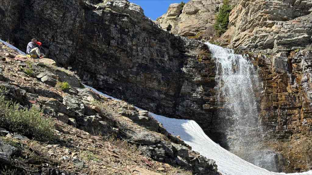
It was definitely worth the trip to get here! (Photo by Andrew Nugara)
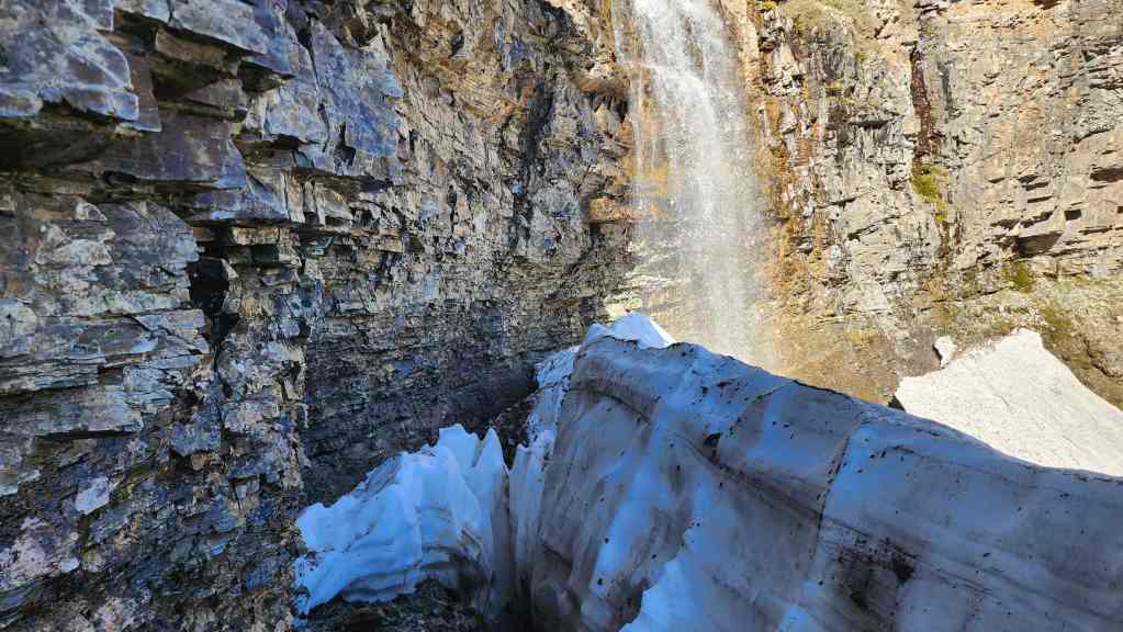
I discovered that we could almost get behind the falls themselves.

After seeing the power of the lower half of the falls, it was Andy and Brad’s turn to check things out.
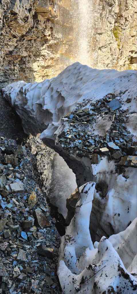

Brad’s view from behind the falls. The lower half goes completely under the thick sheet of snow. (Photo by Brad Wolcott)

Glad that so far, my guts have stayed inside my body. 😂 (Photo by Andrew Nugara)
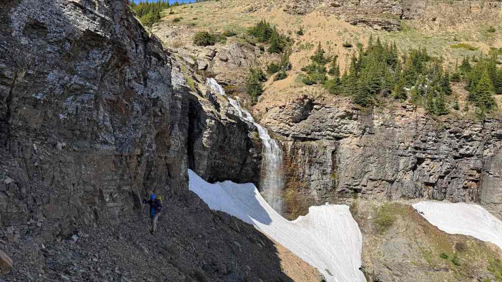
Brad searches for a weakness in the headwall. (Photo by Andrew Nugara)
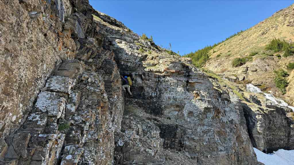
And he finds one! (Photo by Andrew Nugara)
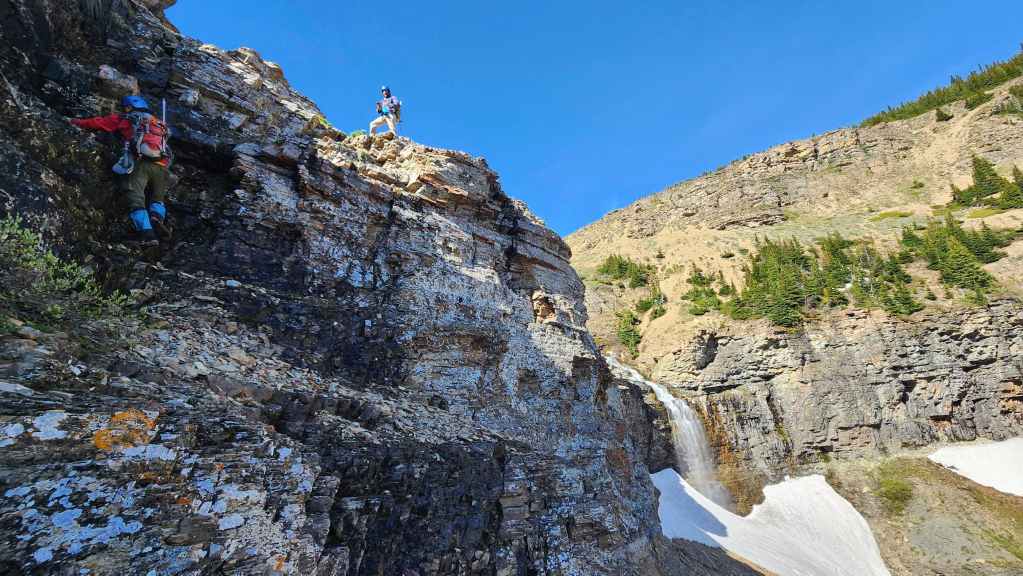
Andy navigates some wet rock.

Brad’s view from the previous photo. (Photo by Brad Wolcott)
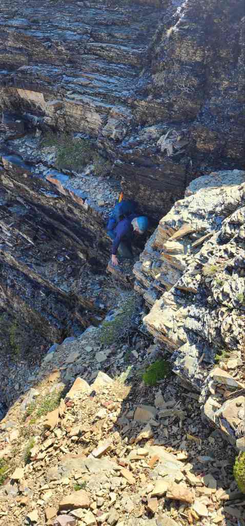
Now it’s my turn. (Photo by Brad Wolcott)
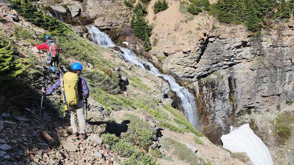
Above the falls is where the scenery gets really interesting. 😀

Andy heads down to a waterfall located immediately above “Redwood Falls”. From distance, these are what make the main falls look so big. Perhaps you could count it all as one waterfall…? At any rate, it’s a cool place to visit.

A look at the other waterfall from Andy’s vantage in the previous photo. (Photo by Andrew Nugara)

And more of the same. Get ready for a bunch more waterfall photos… (Photo by Andrew Nugara)
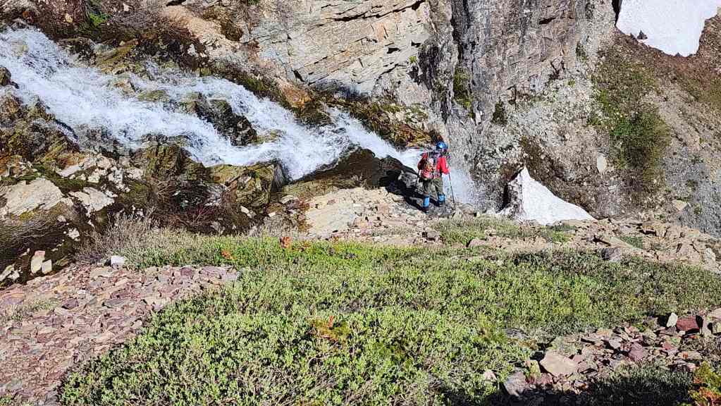
Andy peers over the edge of “Redwood Falls”.
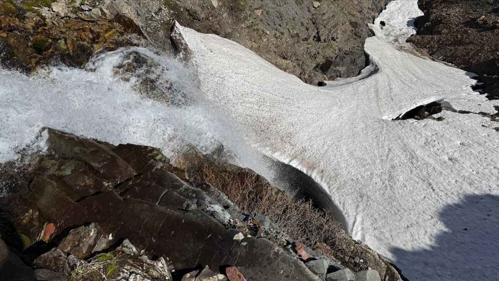
And snaps this view down. (Photo by Andrew Nugara)

Brad at the top of the falls with Pincher Ridge in the background.
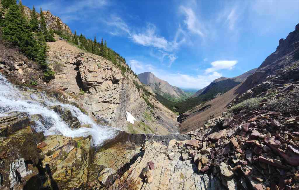

The view from the top of “Redwood Falls”.
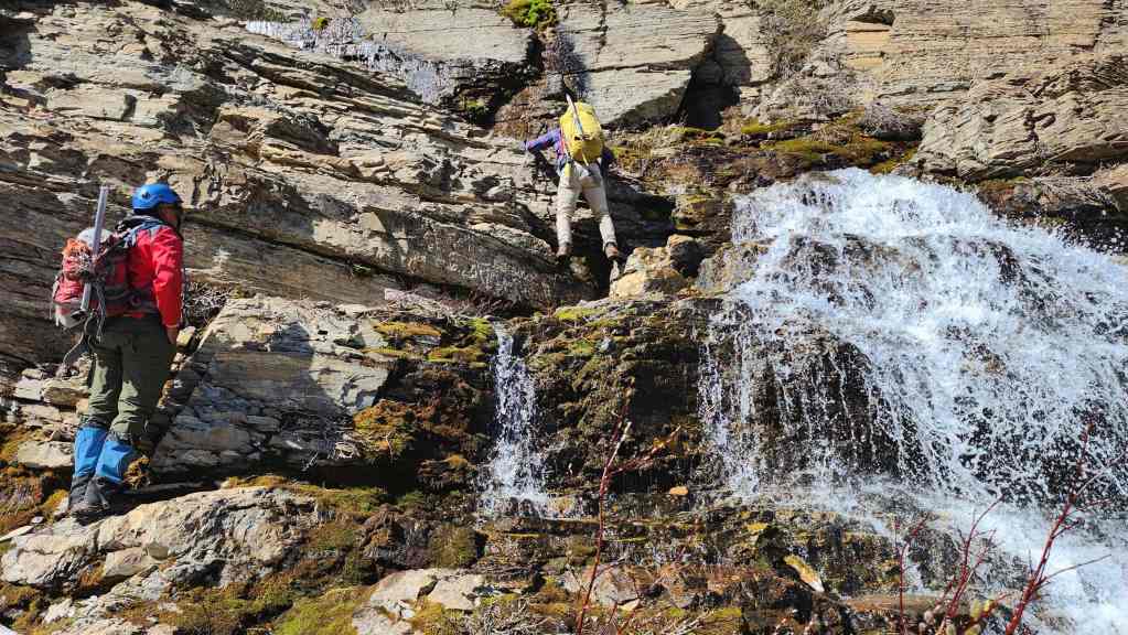
Brad scrambles up alongside the next waterfall…

Which had another small waterfall above it. (Photo by Andrew Nugara)

My turn to climb up. (Photo by Andrew Nugara)
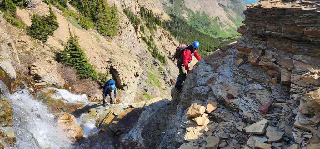

Following Brad’s route and avoiding wet rocks. (Photo by Brad Wolcott)
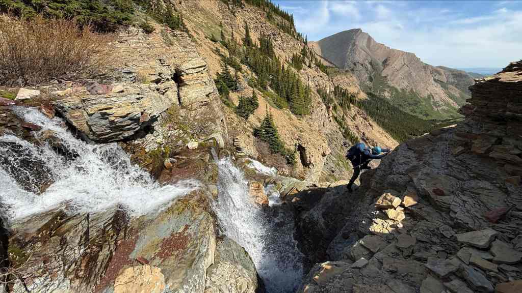
The next ~400 m will be one waterfall after another. (Photo by Andrew Nugara)

See, another waterfall…
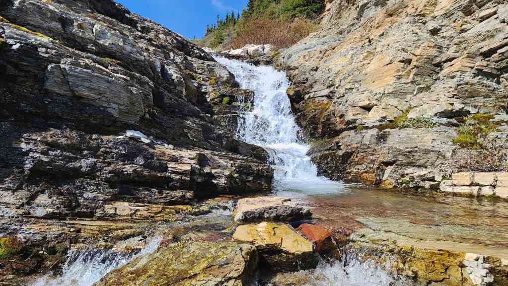
And another!


The same waterfall as the previous photo, but this time you can see the red argillite under the water. (Photo by Andrew Nugara)

Continuing to follow the creek.

More stellar water scenery. (Photo by Andrew Nugara)
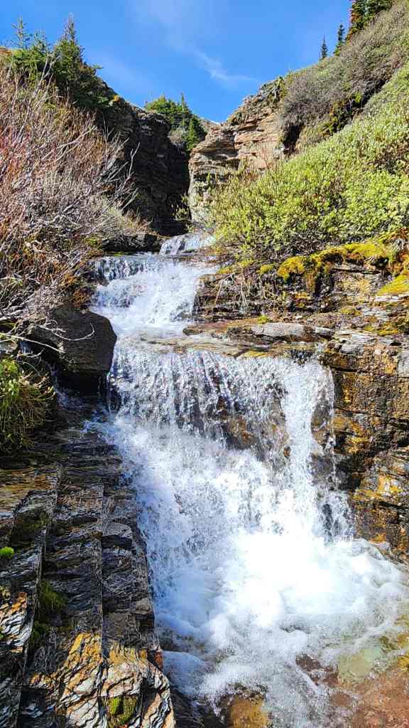
Another small waterfall with the start of a narrow argillite canyon behind it.

Andy’s view from the previous photo. (Photo by Andrew Nugara)
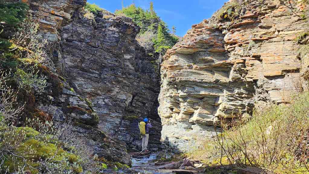
Brad enters the canyon.
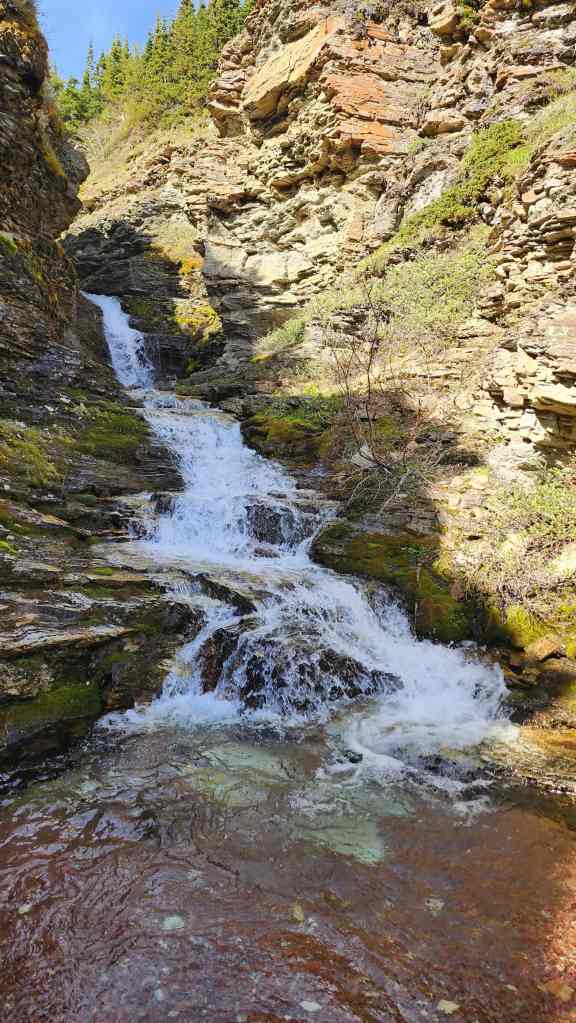
Wow! This is what greeted us shortly after entering the canyon. (Photo by Brad Wolcott)
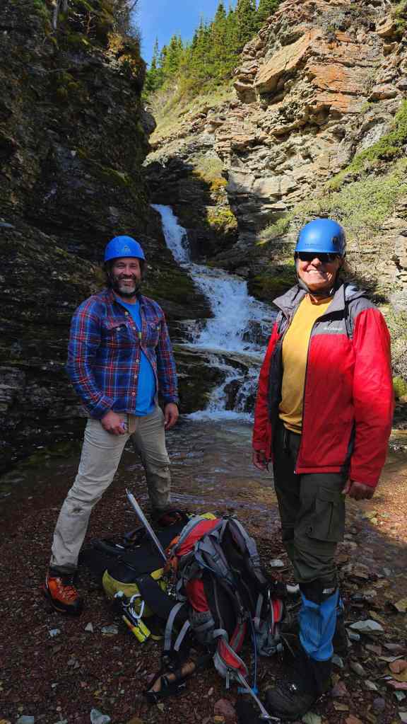
Yup! This choice of destination by Andy had knocked it out of the park. And there was more to come!
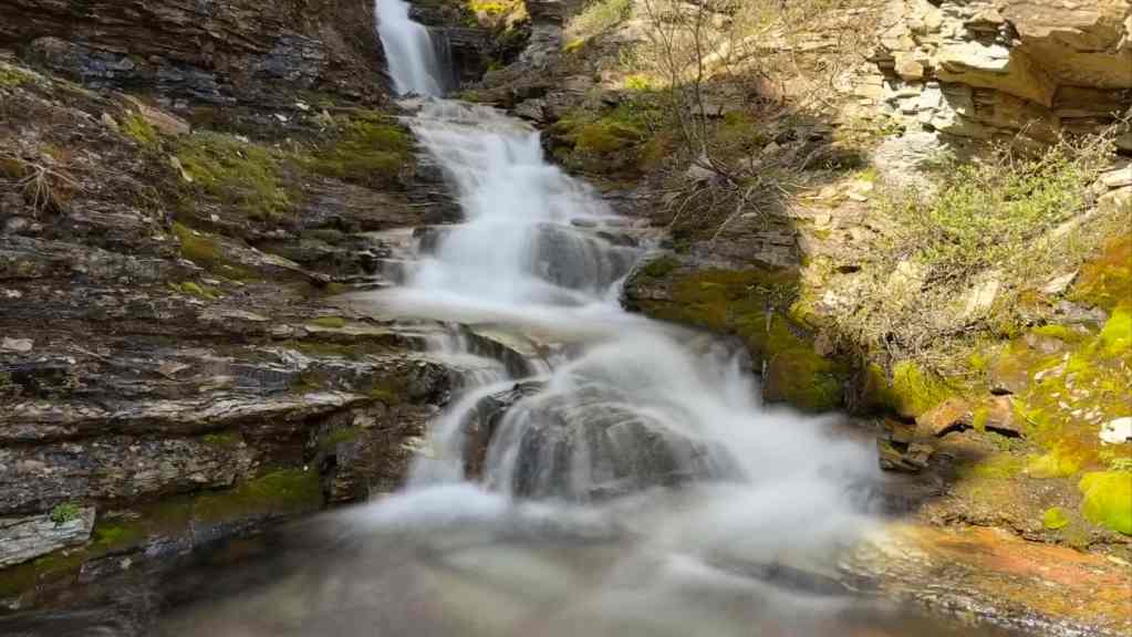
Same waterfall as before, but with the long exposure. (Photo by Andrew Nugara)
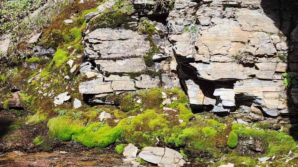
Bright green moss, red argillite, and crisp water is the perfect recipe for great scenery.

Brad leads us further into the narrow canyon.

I (above Brad) found a way to reach the next waterfall. (Photo by Andrew Nugara)
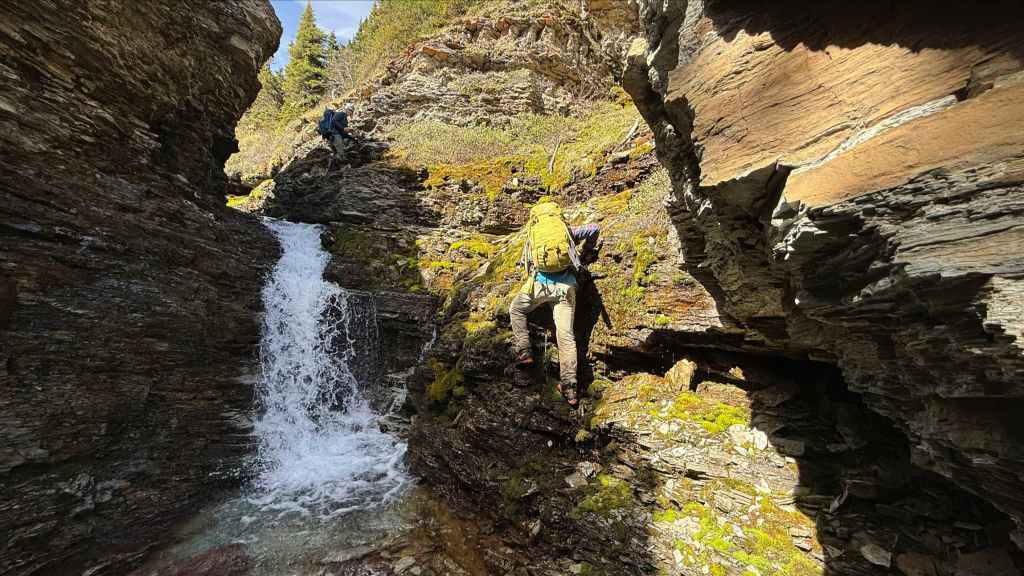
Brad follows my route. (Photo by Andrew Nugara)

My view back as Andy climbs up.
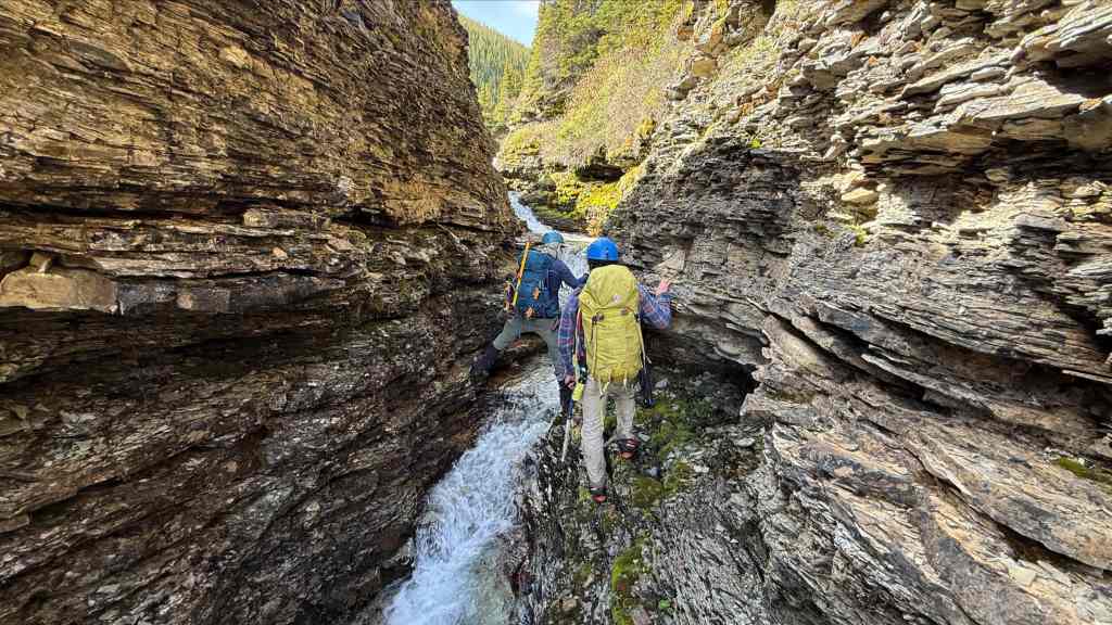
Things get tricky for a bit. (Photo by Andrew Nugara)

Continuing to make our way through the canyon. It reminded me of a mini version of Red Rock Canyon in Waterton.
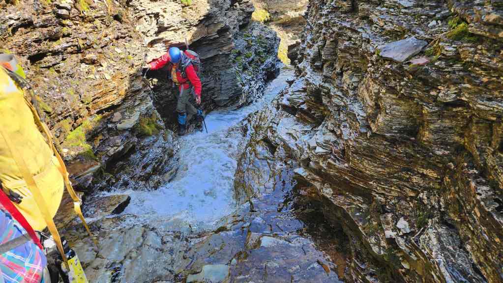
Looking back.

Nearing the end of the canyon. (Photo by Andrew Nugara)
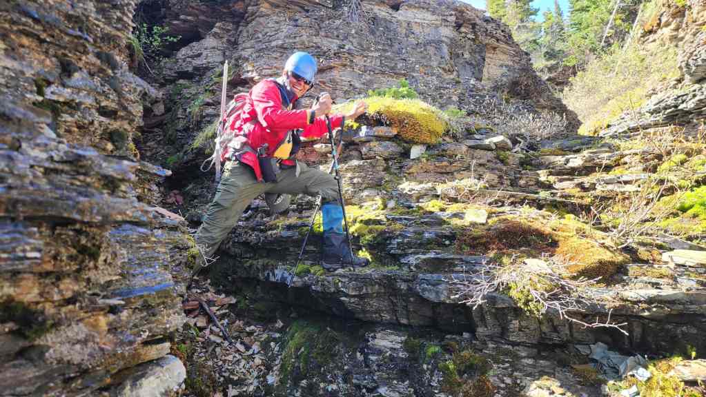
Andy seems to be enjoying himself. 😂

Leaving the canyon.
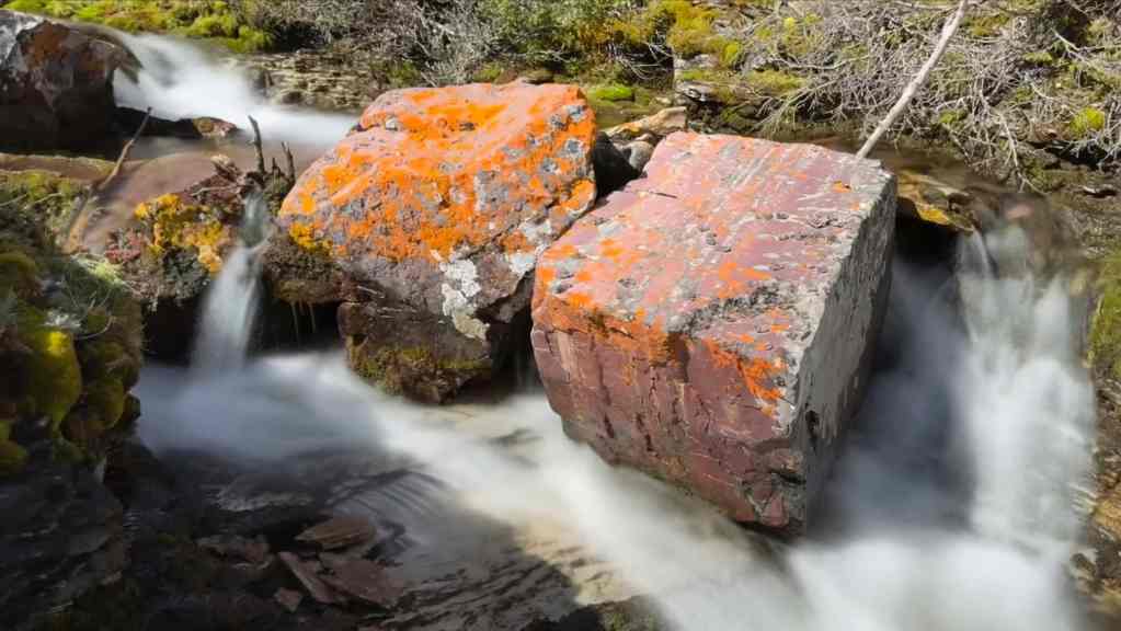
Andy’s view from the previous photo. (Photo by Andrew Nugara)

Following the creek towards the SW Summit of Drywood.
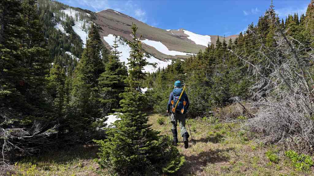
The connecting ridge comes into view. (Photo by Andrew Nugara)
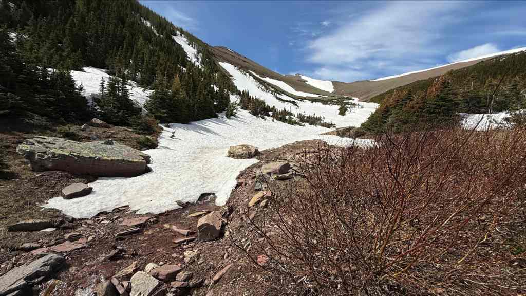
We will follow the snow all the way to the top of the false summit (centre).
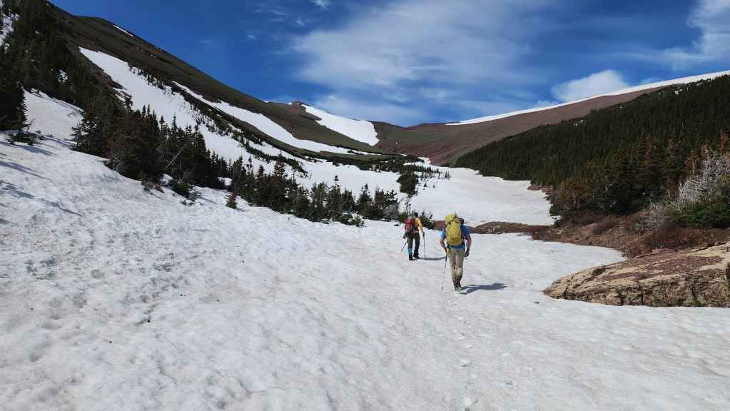
A better look at the false summit.
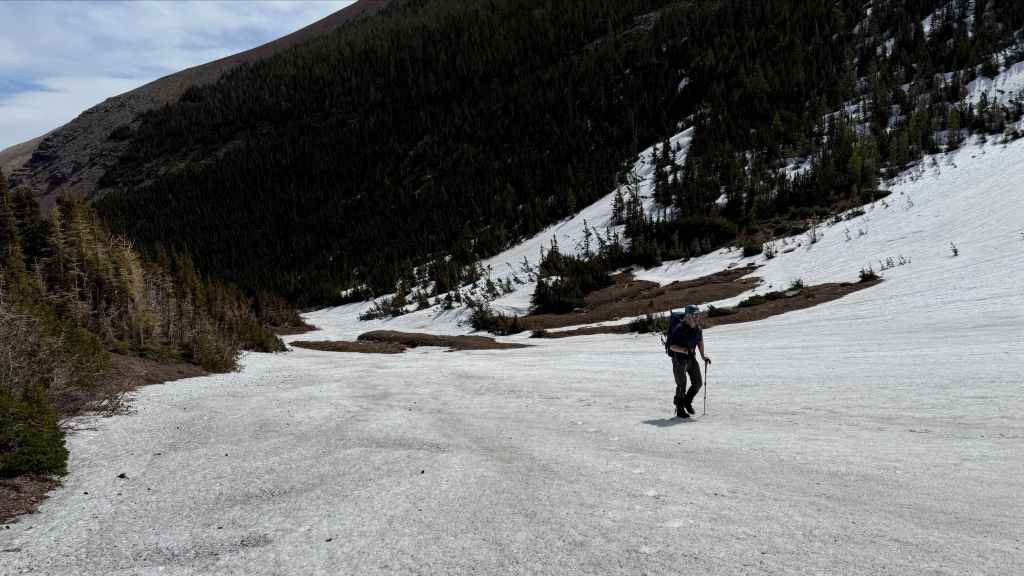
We’ll soon stop for lunch – and for other ‘interesting’ antics. Unfortunately, the practical joke Brad played on me is not suitable to show on a G-rated blog, but let’s just say it was shockingly hilarious. 😂
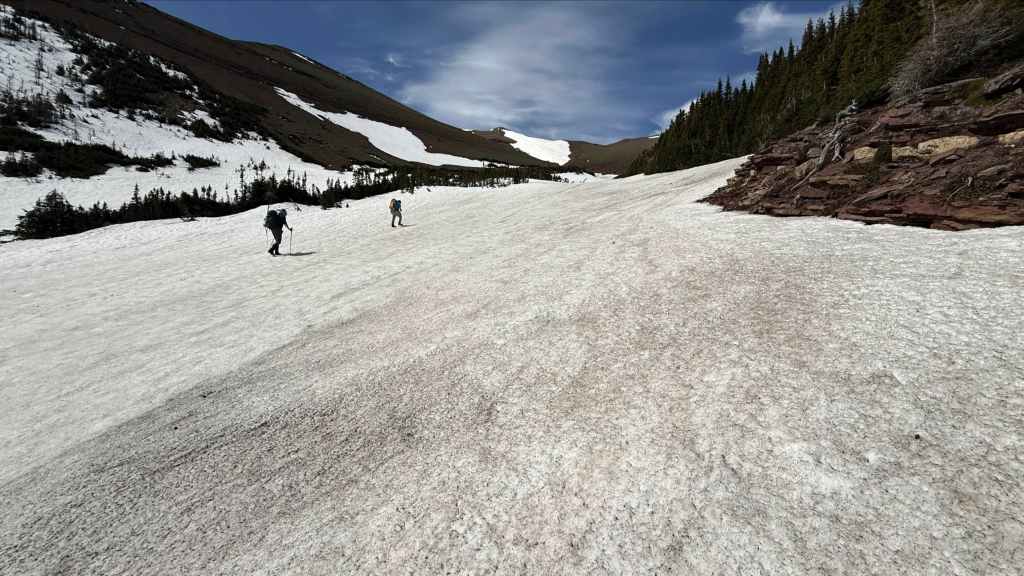
The slope was steeper than it appeared, but crampons made travel easy. (Photo by Andrew Nugara)

Brad enjoys a rum and Coke with his can of beans. Blotted out beside him (Tobias Funke would say he ‘blue’ it out), is the ‘item’ (implement? technical gear? something to add to a can of beans?) that he had hidden in my pack earlier in the day. Needless to say, I had quite the surprise when I reached in to get my lunch! 😂 Never, ever leave your pack unattended when Brad is around. 😂 I’m still chuckling about it, but as I mentioned earlier, this is a G-rated blog, so you’re on your own to imagine what it was… or you could go to Brad’s ‘Only Mountains’ account. 😂
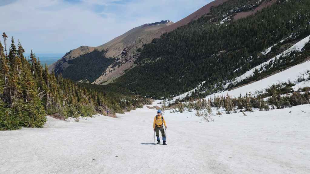
The summit of Drywood Mountain (centre) comes into view.
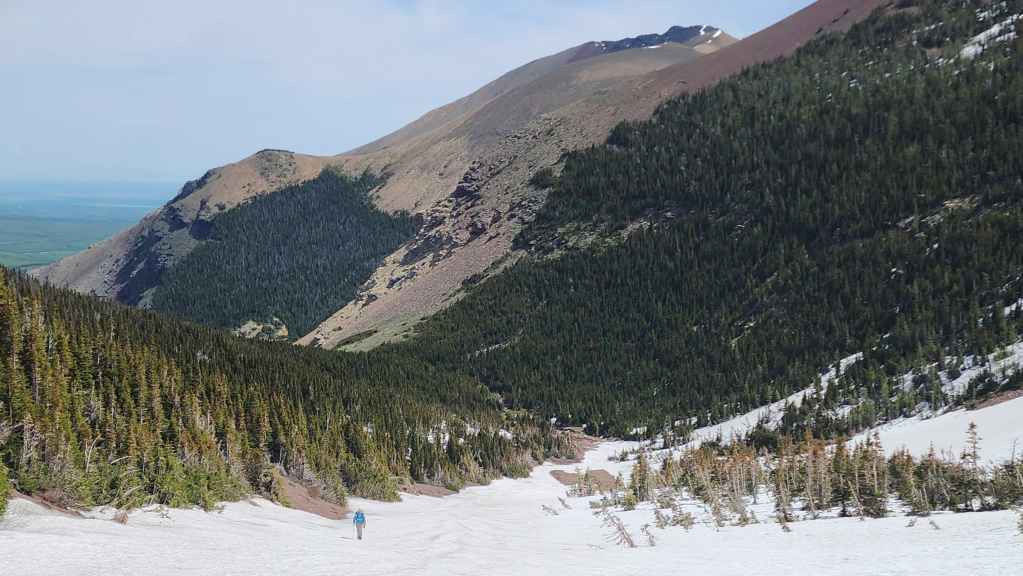
A better view of Drywood’s summit (right of centre) with “The Gasser” Outlier on the left.
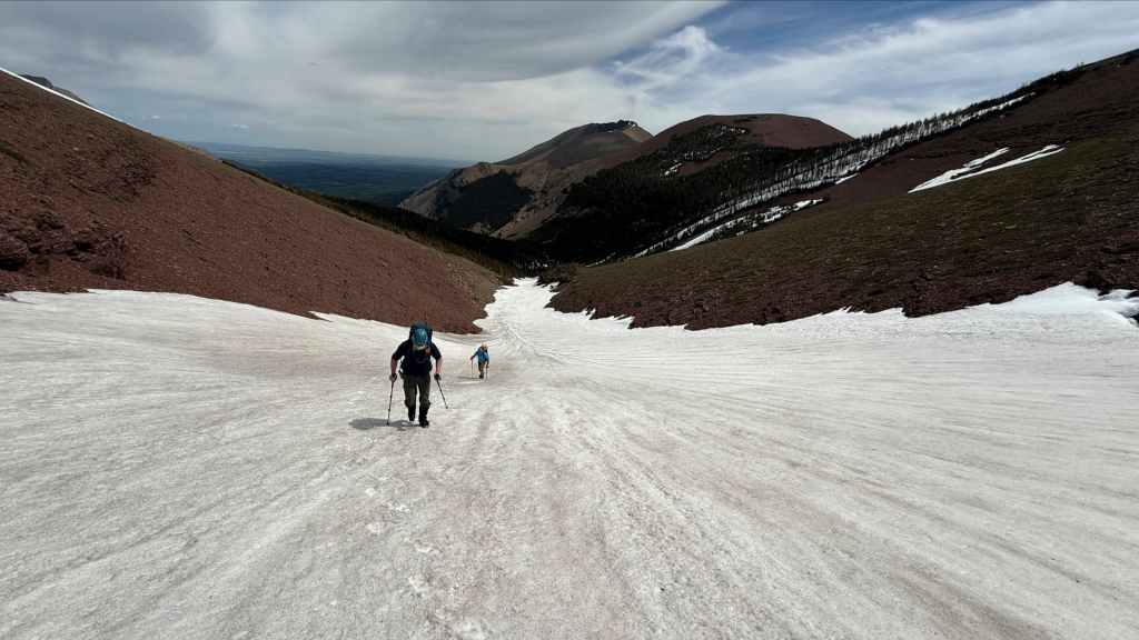
Getting closer to the ascent slope for the SW Summit. The high point, “Redwood” that we nicknamed the falls after is to the right of centre. (Photo by Andrew Nugara)
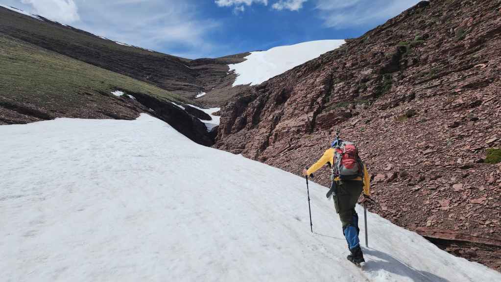
Arriving at the ascent slope…

But first, Andy will check to see if there is a way through this argllite canyon.
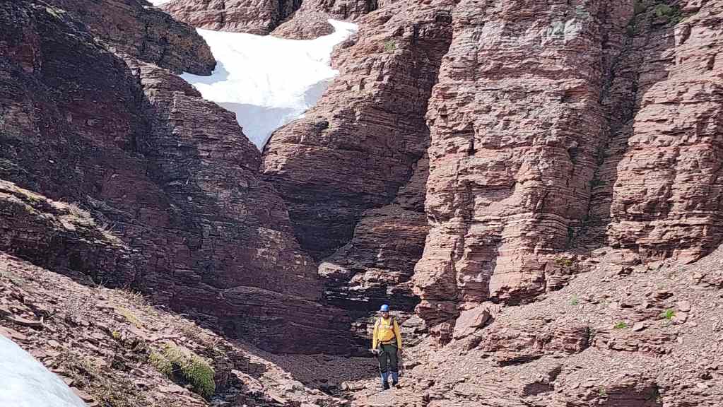
Unfortunately, there wasn’t.
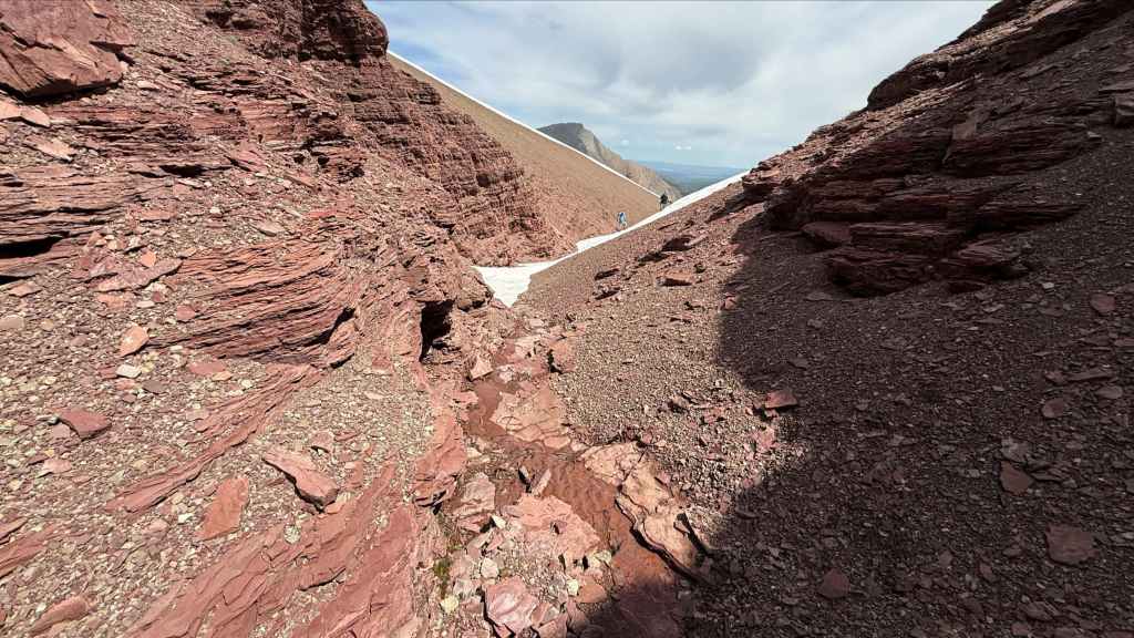
Andy’s view back to us from the previous photo. (Photo by Andrew Nugara)
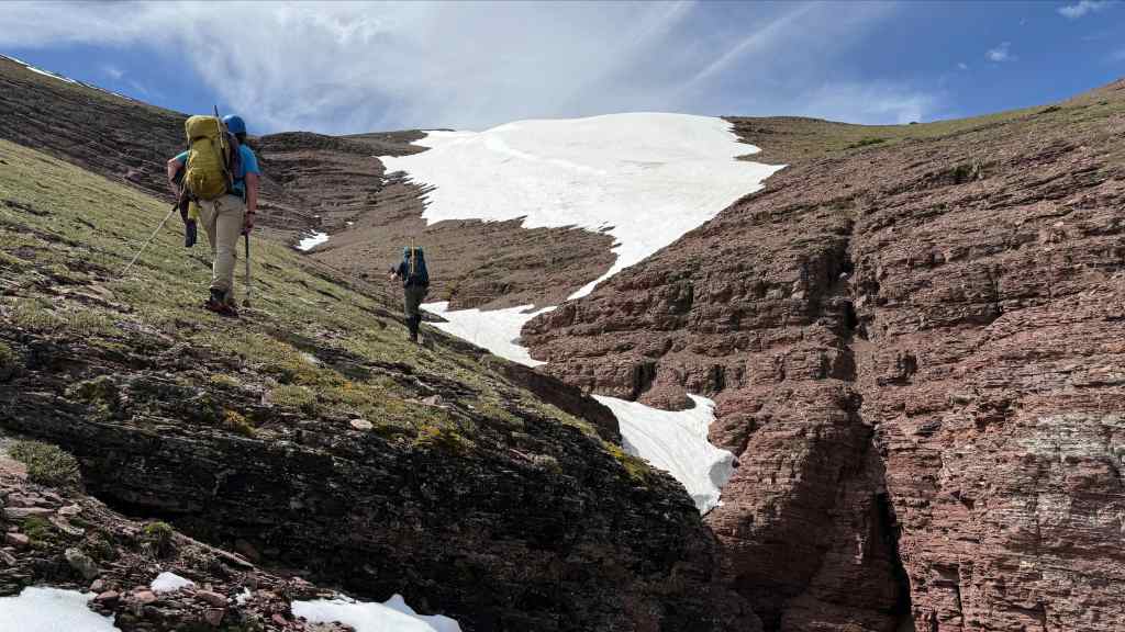
The snow continued all the way to the false summit and Brad and I will use it for ascent. However, Andy will choose to keep following the drainage.
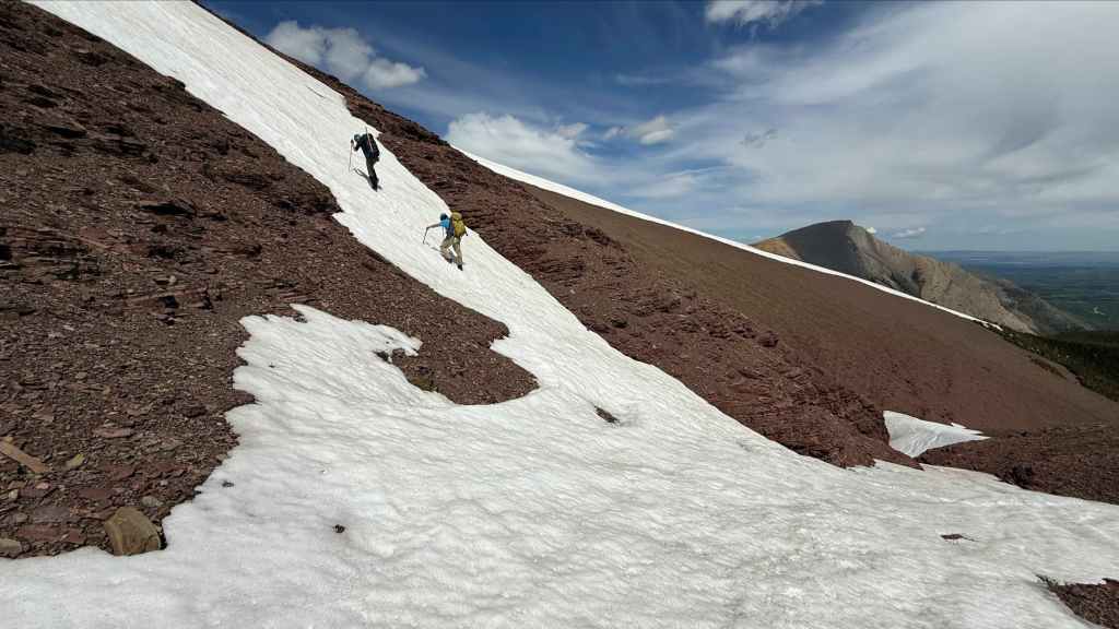
Andy’s view as we begin our ascent to the false summit. (Photo by Andrew Nugara)
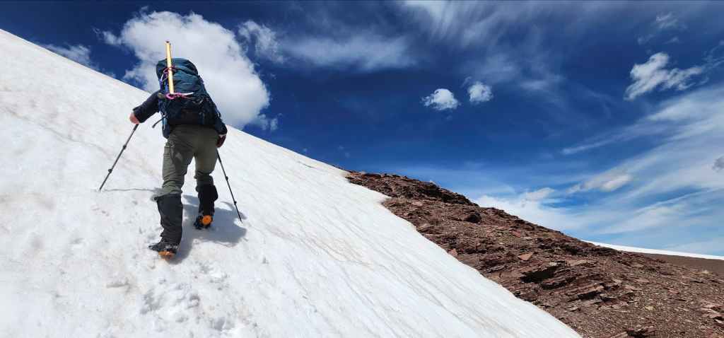
The snow was perfect. (Photo by Brad Wolcott)

Meanwhile, Andy continued to follow the drainage. (Photo by Andrew Nugara)
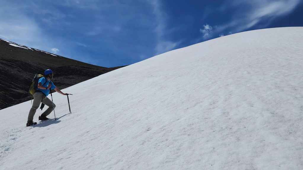
Brad surveys the steep slope ahead of us.

Andy’s view towards us from the drainage. This is a super cool shot. (Photo by Andrew Nugara)
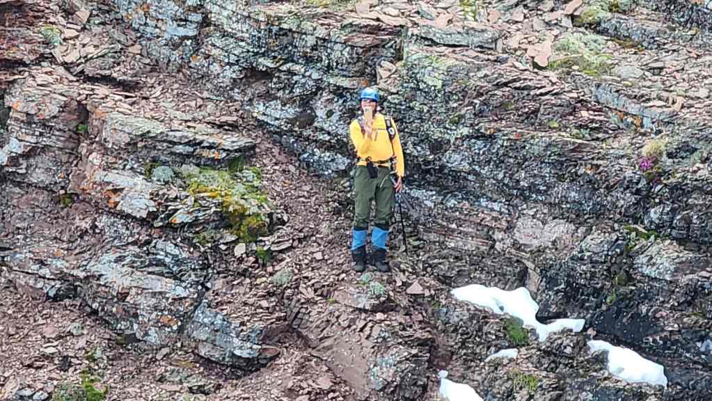
Zooming in on Andy from the previous photo.
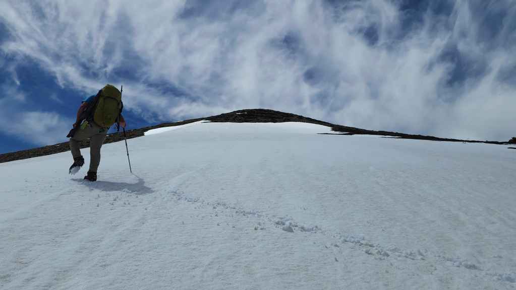
Nearing the false summit.

Another look over to Andy. Yup, he’s still alive.
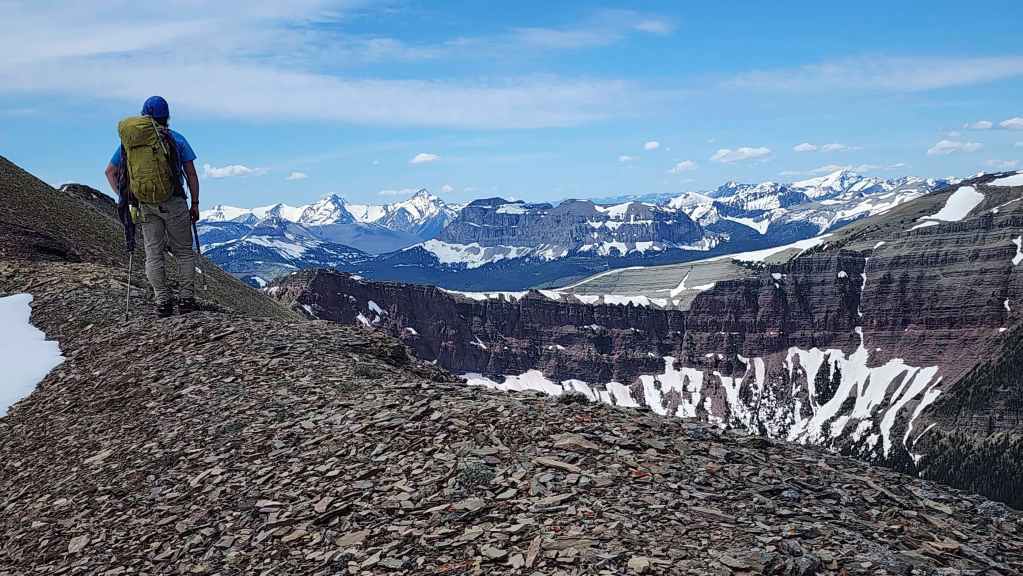
Brad surveys the views as we make the short walk from the false summit to the true summit.

A wider view of the previous photo.
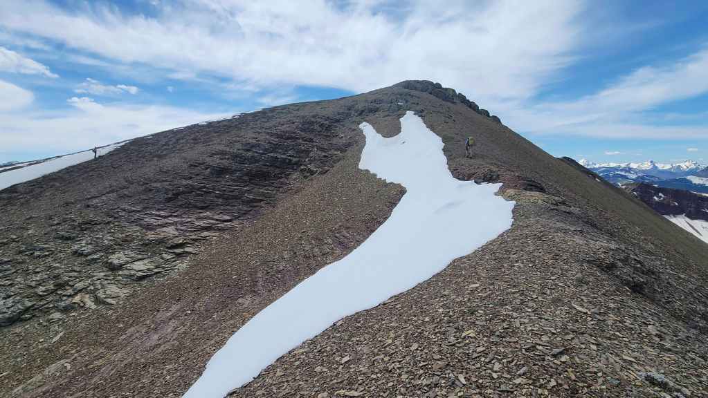
Andy (left) and Brad (right) converge near the summit .

Andy’s view from the previous photo. (Photo by Andrew Nugara)
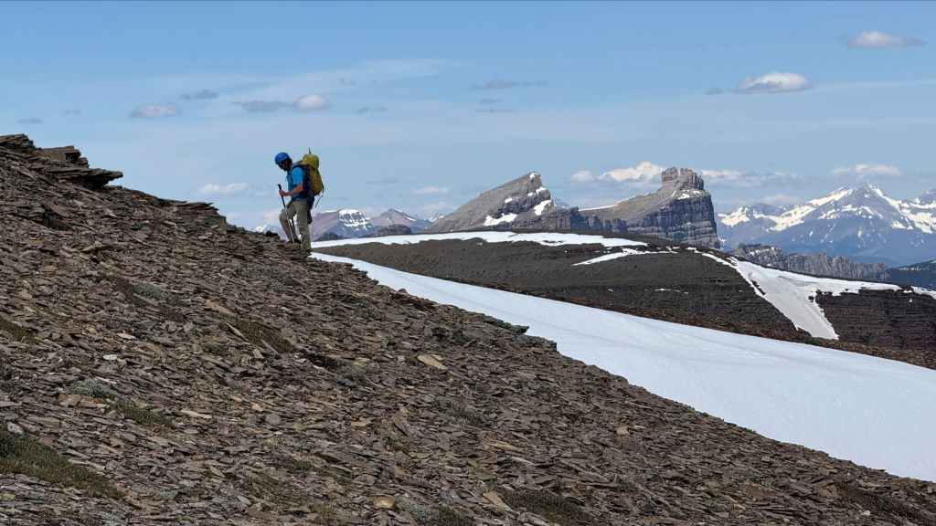
Windsor Mountain and Castle Peak make for a nice backdrop. (Photo by Andrew Nugara)
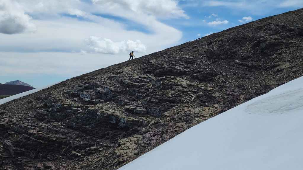
Another look towards Andy.

Brad arrives on the summit. (Photo by Andrew Nugara)
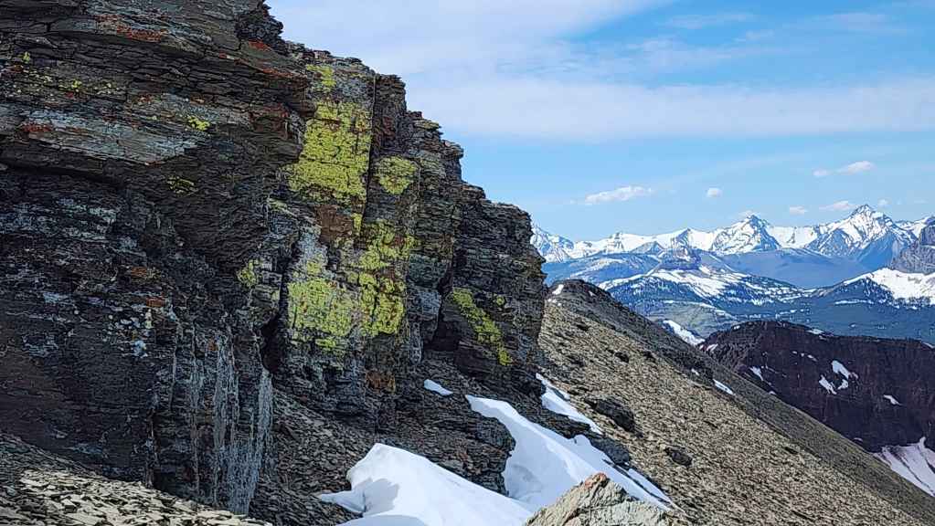
Lichen on red argillite.
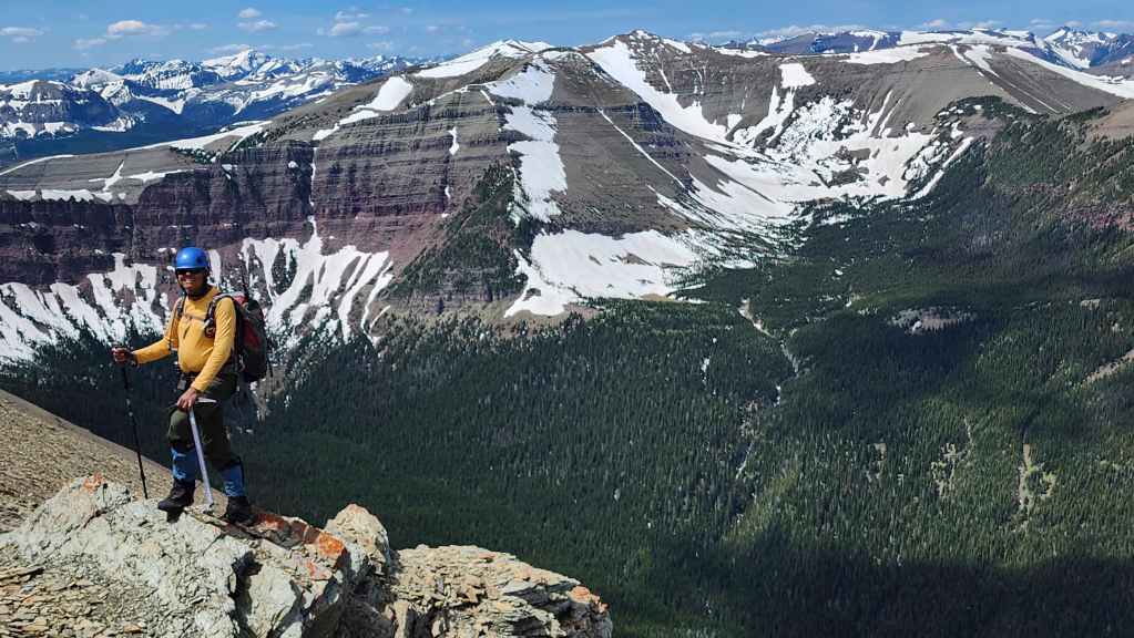
Andy with Victoria Ridge in the background.
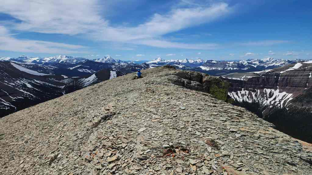
The Southwest Summit of Drywood (2482 m). I was last here in October 2018 with Brad and our friend, Lance – who by the way, also recently fell victim to the same gag Brad just played on me. 😂
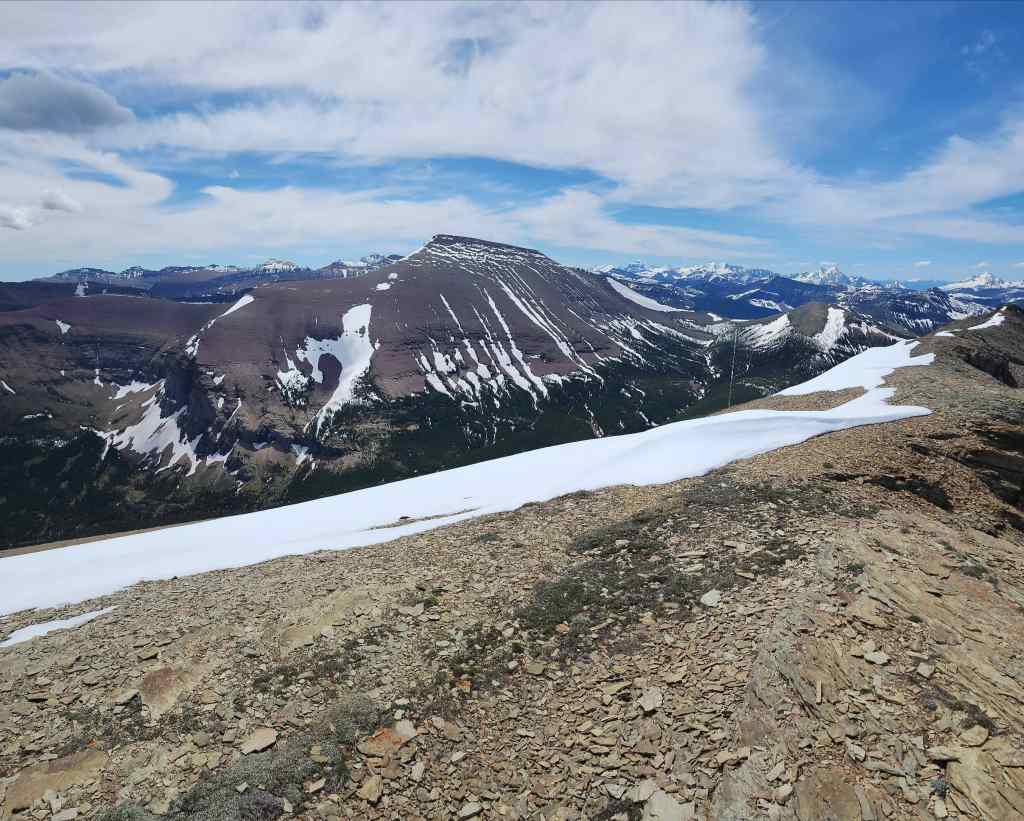

A pano to the south…
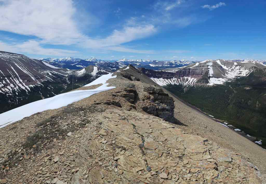

And then to the southwest.
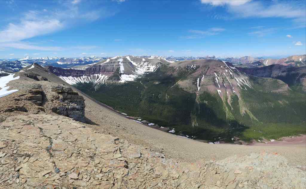

Now a pano to the west…
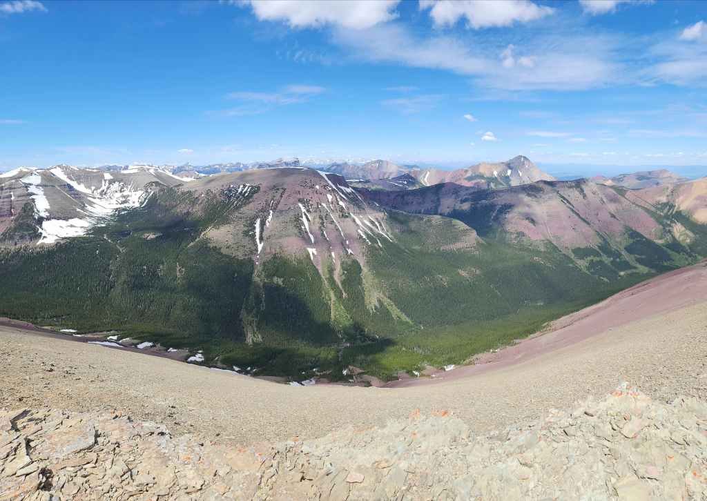

And then another pano to the west.
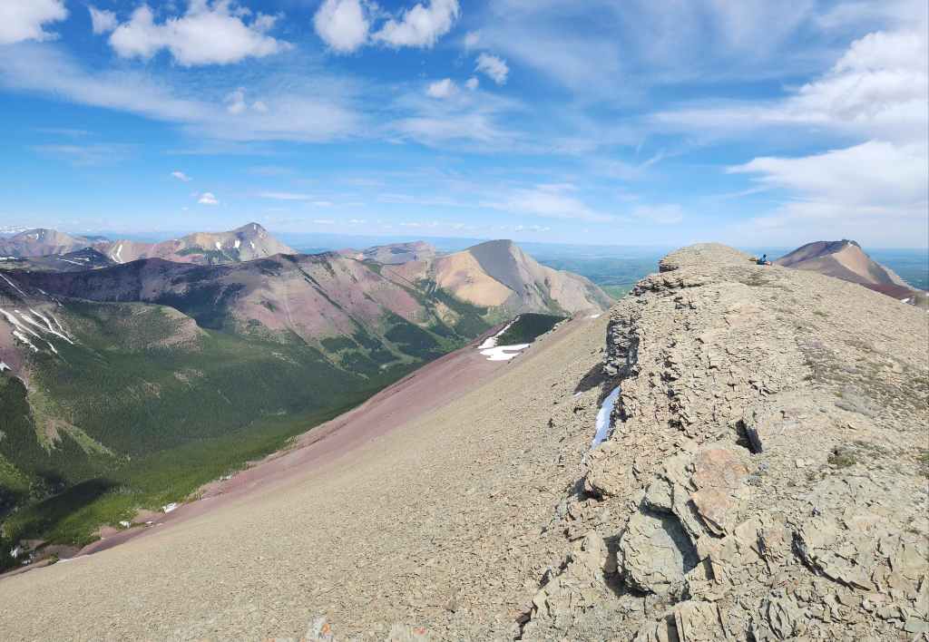

Looking to the north…
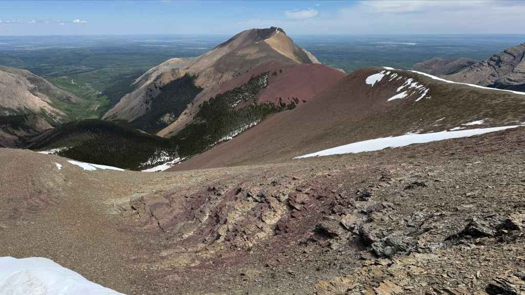
And finally to the northeast. (Photo by Andrew Nugara)

Pincher Ridge (right) is one of the most colourful mountains in the area. Behind it is Prairie Bluff (left of centre) which is probably the most versatile mountain around.
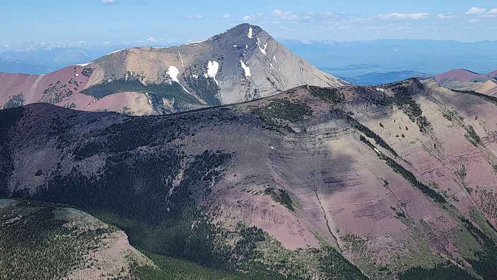
Looking across Pincher’s Centre Peak (foreground) at Victoria Peak (centre).

Pincher’s South Peak with Windsor Mountain and Castle Peak behind it.
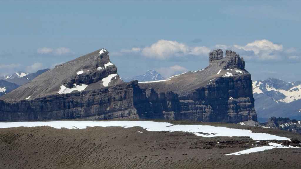
A closer look at Windsor Mountain (left) and Castle Peak (right). (Photo by Andrew Nugara)
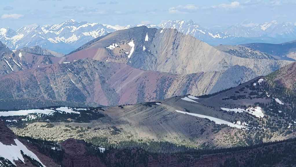
Mount Gladstone with “Mill Creek Mountain” and “Mill Creek Peak” in front of it.
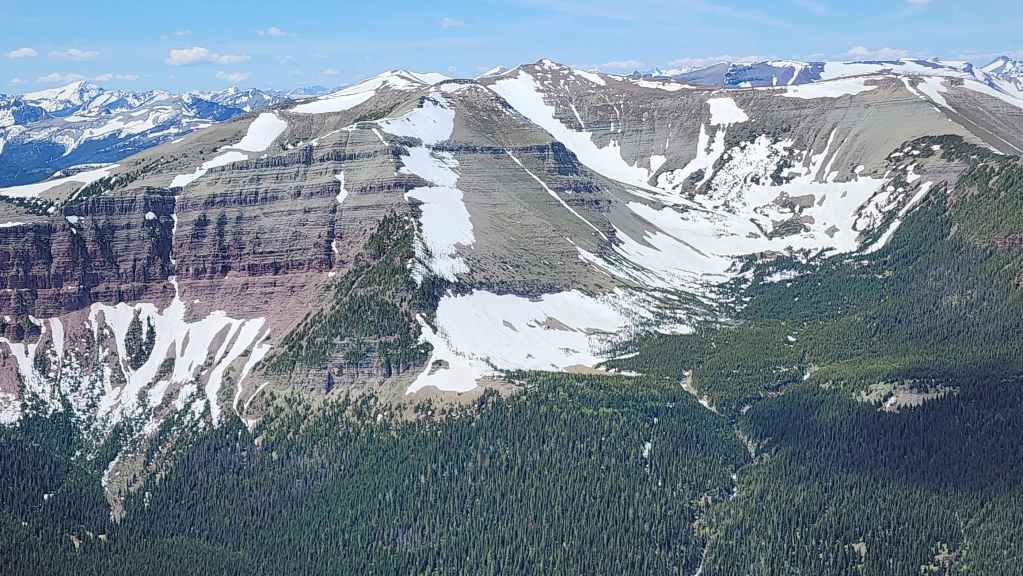
There’s still lots of snow on Victoria Ridge.
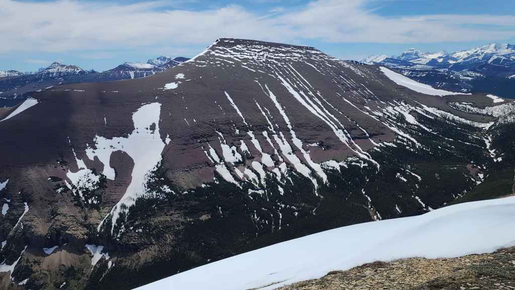
I need to revisit the summit of Loaf Mountain. It has been far too long.

Kinnerly Peak with Kintla Peak behind it.
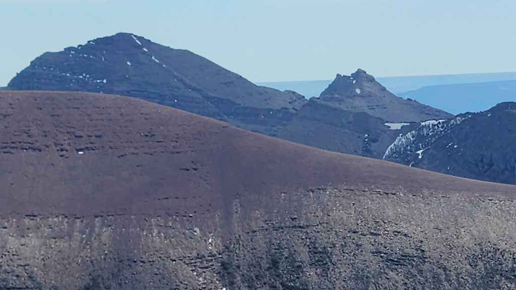
Spread Eagle Mountain (left) and Mount Yarrow (right).

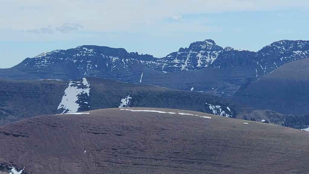
“Cloudy Junior” (left of centre) and Cloudy Ridge (right of centre).
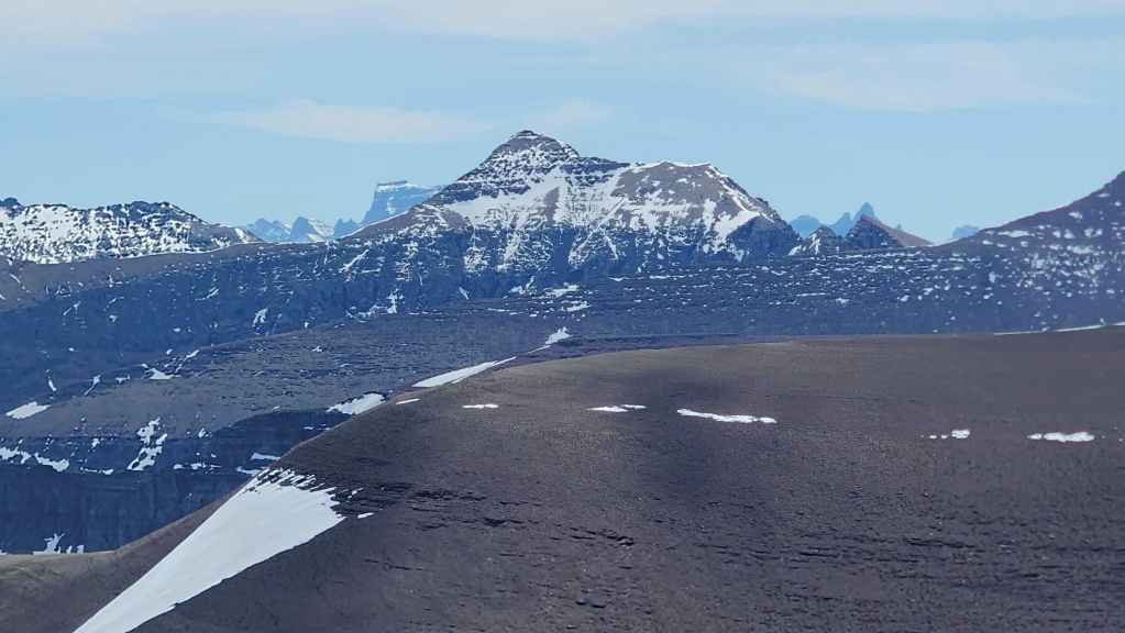
Mount Glendowan (centre).

The summit of Piinaquiium / Ahkoinimahstakoo (Mount Blakiston).
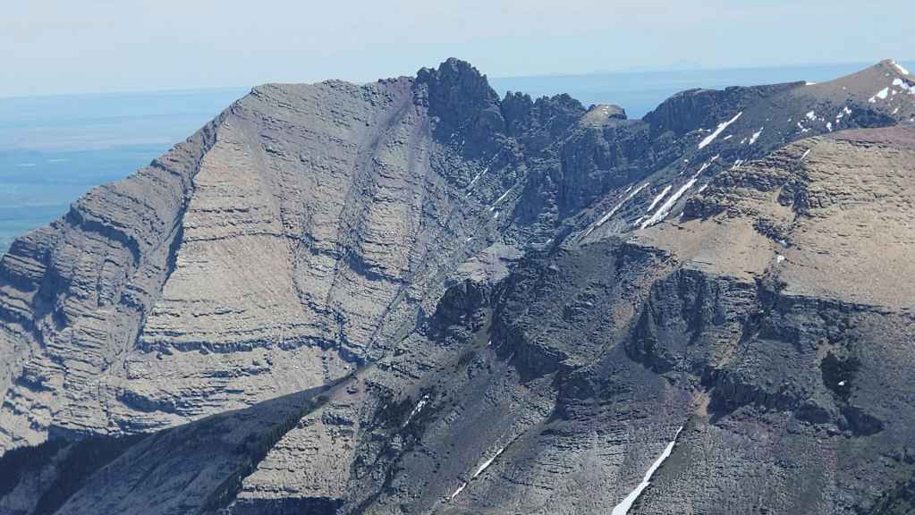
“Bakery Peak” sits at the northeast end of Loaf Mountain.
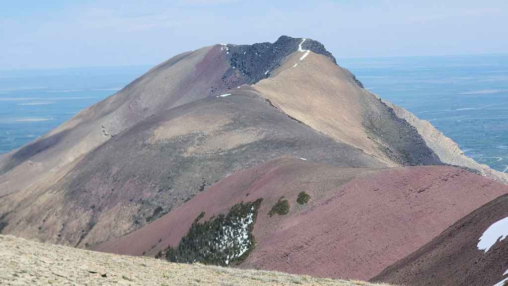
The summit of Drywood Mountain.
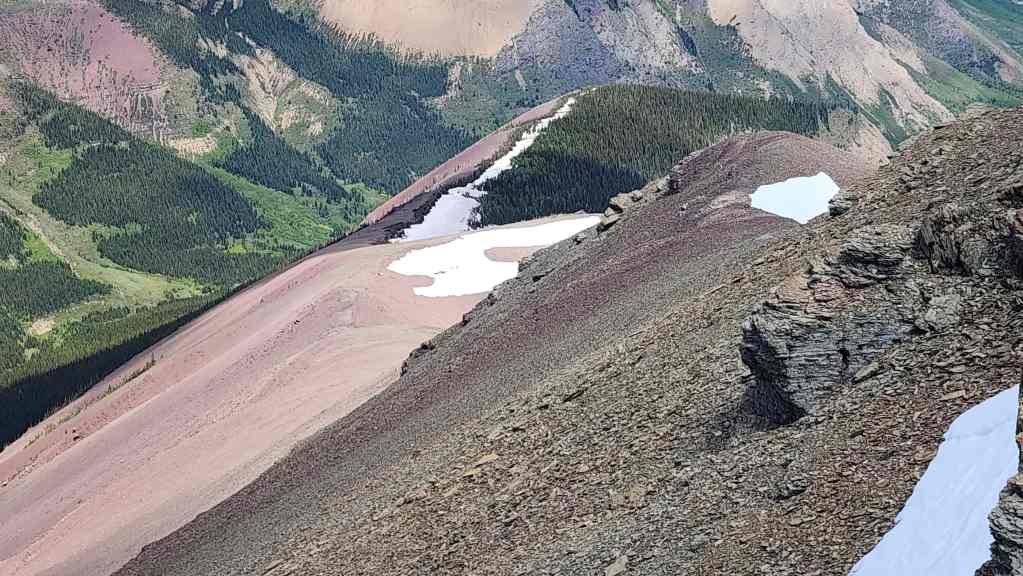
Little NDR where we will head next.
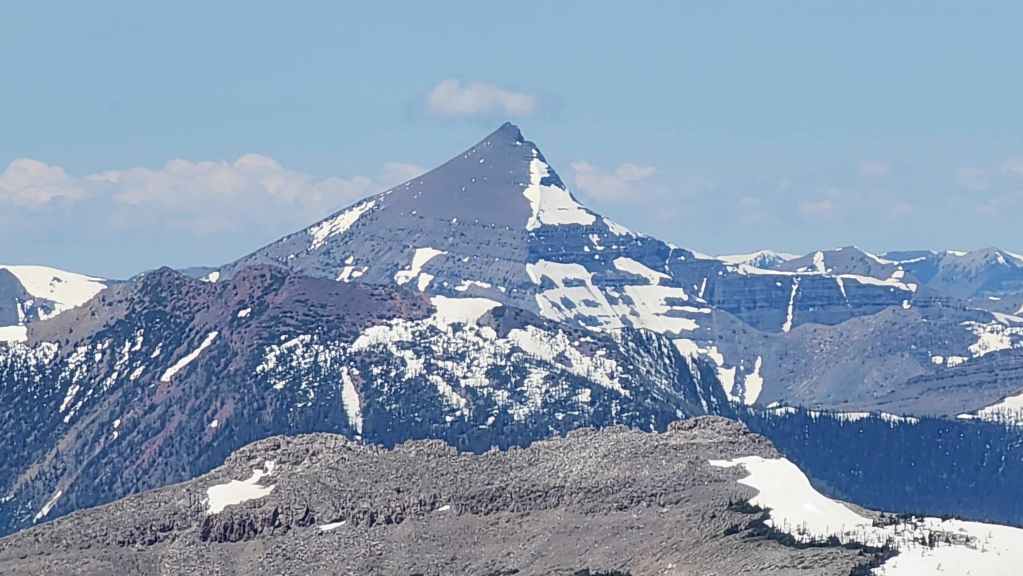

Where Brad and I were exactly one year ago: Mount Matkin.
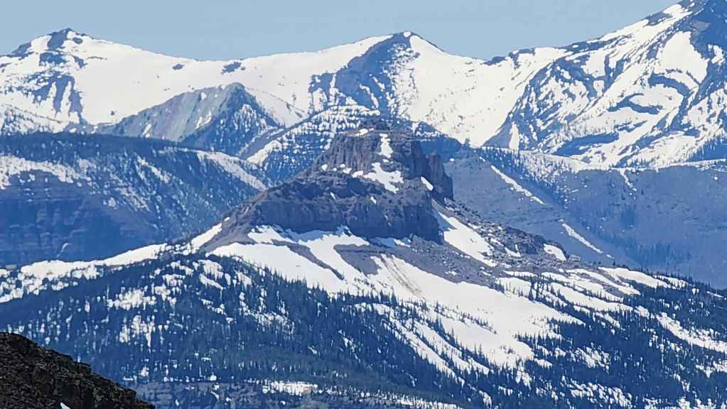
Also part of our Matkin trip was Font Mountain. Given the amount of snow this year compared to last, I doubt we could have done the same trip. This year we’d have to wait a few more weeks for an attempt.

Kishinena Peak (left), “Sage Pass Peak” (left; in front of Kishinena) and “Sage Senior” (right of centre).
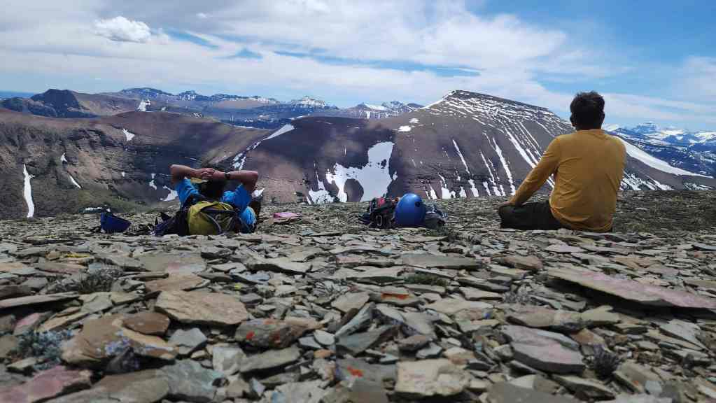
What a perfect day to be on a mountain! 🙂
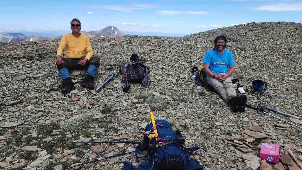
Still chuckling about Brad’s practical joke. 😂
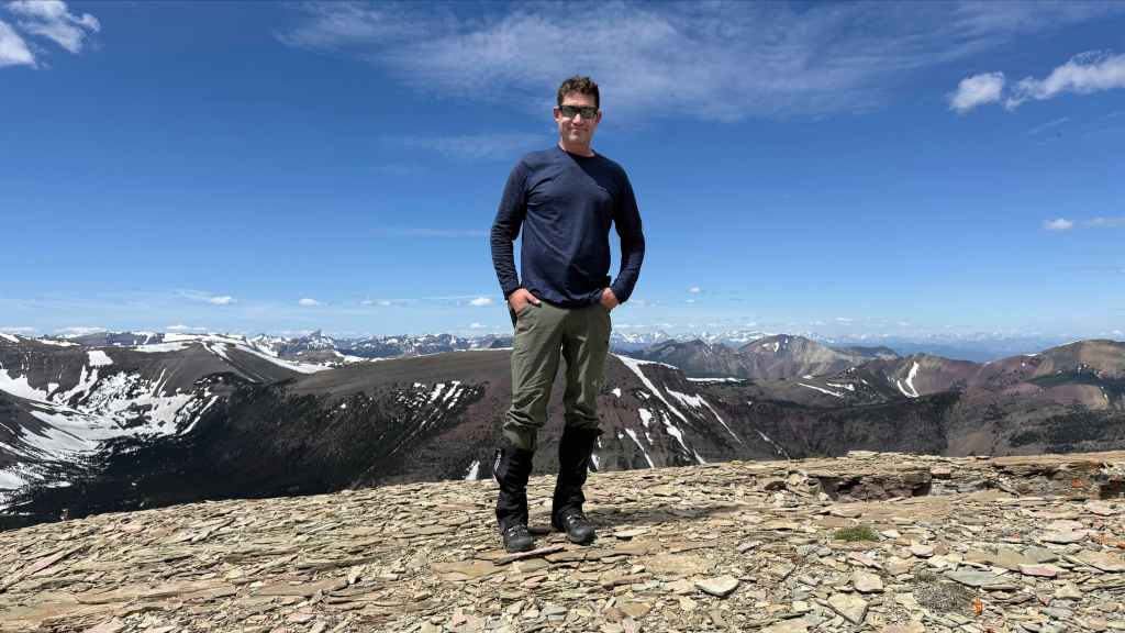
The hapless victim in all this.😂 (Photo by Andrew Nugara)