
⚠️ Hiking and scrambling are inherently dangerous activities. Please read my Disclaimer. ⚠️
After enjoying an easy ascent of Mount Bauerman, Brad and I returned to its col with Kishinena Peak where we enjoyed lunch along with several swigs of sambuca. 😳 Still able to stand, we then set our sights on what looked to be a daunting trip up Kishinena’s east face. However, we soon realized that though the terrain was steep, it eased-back like David Lee Roth’s seat in Panama. In fact, though Andrew calls it a moderate scramble in, More Scrambles in the Canadian Rockies, 3rd edition, Brad and I thought it was much easier than that; having only to place hand-to-rock a couple of times.
For those interested, there are a couple peculiarities to note about Kishinena Peak. The first is that some maps (like my Garmin Topo Canada West) place the summit about a kilometre to the southeast on a much lower bump close to South Kootenay Pass (SKP). Other maps (and books) place the summit where we went. In 2021, Andrew ventured up SKP and visited the lower, disputed summit and then the one we were on today. I think I will eventually visit that summit when we return to climb Festubert Mountain via SKP. For now however, I am more than content to say that we were on the summit.
The second item of interest, is that the origin for the name, Kishinena, is opaque at best. Some good research by Brad uncovered two possible meanings: 1) it is a mispronunciation by the British Boundary Commission of the Kootenay phrase, ‘ish-nee-nee’ which means “there it is” in reference to the surveyors’ search for water; or 2) it is in reference to the Kishinena tribe that was supposedly a branch of the Panther tribe. (source) Whatever the origin, it’s an interesting name for an area known for it’s otherwise bland mountain names.
Altogether, this was a great excursion into a corner of Paahtómahksikimi (Waterton National Park) that was spared by the 2017 Kenow wildfire. The fire scorched the surrounding valleys and ridges, but avoided this area by the narrowest of margins. It was wild to stand on Kishinena Peak and also on Sage Pass, and look down at the Twin Lakes nestled among the trees and then look onto the other side of the ridge and see a fire-ravaged apocalyptic landscape.

To get to Mount Bauerman and Kishinena Peak, we drove to the Red Rock Canyon parking lot where the Snowshoe Trail begins. As one of the few trails in Paahtómahksikimi (Waterton) that allows bikes, we were able to make quick time (1 hour) to cover the ~8.5 km distance from the trailhead to the start of the Twin Lakes trail. Here is where we left our bikes.
We followed the Twin Lakes trail for ~3.7 km (1 hour) until we reach the first lake. We then passed through the campground and followed the Lone Lake trail above the second lake and onto the col between Bauerman and Kishinena. From the parking lot to the col it took us exactly 2 hours and 30 minutes.
The trip up Bauerman from the col is easy and direct. We simply followed the gradual ridge for ~2 km (324 m elevation gain) until we were on the summit. If you take away the distance from the parking lot, Bauerman from the col has to be one of the easiest peaks to reach in the Park.
After returning to the col and eating a quick lunch, we then set off up the east face of Kishinena Peak which is described by Andrew in More Scrambles in the Canadian Rockies, 3rd edition, as a moderate scramble. Though much steeper than Bauerman and seemingly much taller, Kishinena is all bark and no bite for in reality, it’s only 37 m taller than Bauerman and though the east face looks daunting, it lies-back nicely. Brad and I only had to put hand-to-rock a couple of times as it was more or less a steep hike over scree-covered ledges. From the col to the summit it was a 361 m elevation gain that took us almost hour on the nose.
From the summit of Kishinena, we then made the easy hike over to Sage Pass where we used the trail to descend ~1.4 km back to the main Twin Lakes trail. From here we followed the same route back to our bikes on the Snowshoe Trail. Once on our bikes it only took us 30 minutes to cover the ~8.5 km distance back to the trailhead and parking lot.

Our total distance travelled was 34 km with a total elevation gains of 1409 m. Our total roundtrip time was 7 hours and 46 minutes.

Leaving the col between Kishinena and Bauerman.

The start of the small ridge that we would follow onto the east face. The terrain gets steep right off the bat.

The view up to the summit.

Glancing back at Bauerman shortly after leaving the col. We would use Bauerman as a reference to guage how close to the top we were.

On the ridge and looking down at the second lake.

Now looking over at the first lake and Sage Pass.

It didn’t take us long to gain elevation.

The first of only a couple spots where we had to scramble – and both of these were completely avoidable.

My view along the ridge to the top.

Another look at the first lake. The peak behind it is “Sage Senior” and the one to the right is “Sage Pass Peak”.

Avoiding some unnecessary scrambling along the ridge.

Back on the ridge…

And now onto the slope beneath the summit.

We decided to follow this gully because it looked interesting, not because we had too.

Another look back at Bauerman shows that we are about even with its false summit.

Continuing to follow the drainage where we’ll encounter our second optional scramble in the rock band above Brad.

Once past the small rock band, it was smooth sailing to the top.

Brad scrambles a small ledge for fun while I completely avoid it.

Brad’s view back as we arrive on the ridge near the summit. (Photo by Brad Wolcott)

Taking advantage of some lingering snow.

Almost there…

With the summit cairn in sight.

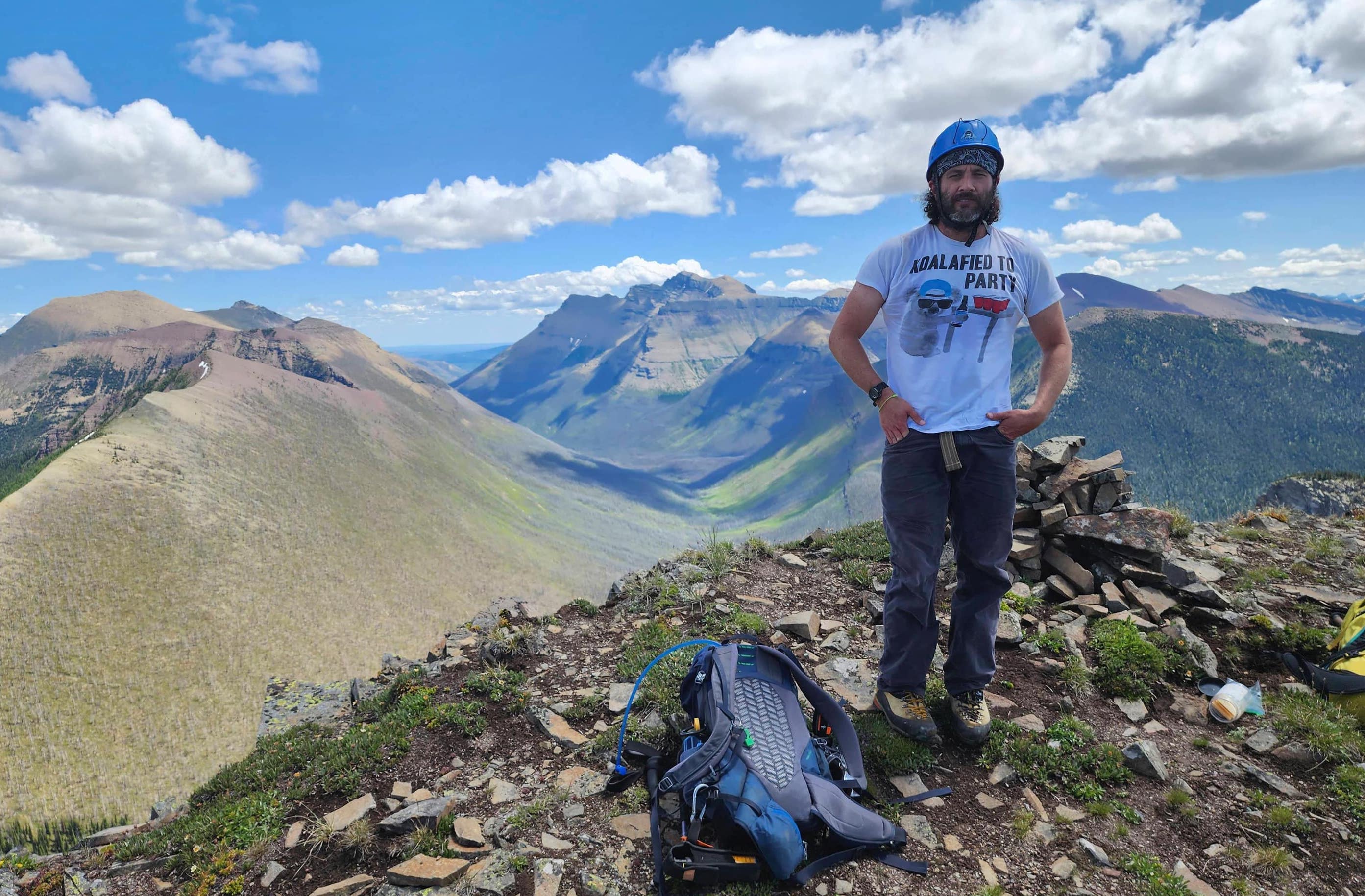
The summit of Kishinena Peak (2440 m).

Looking to the east…

And then to the south.

Now looking west…

Then northwest…

And now to the north.

Finally and for good measure, one more pano to the east.

A closer look at Festubert Mountain, which Brad and I hope to bag later this summer via South Kootenay Pass. Edit: Done! 🙂

We will also be back for Lone Mountain. Edit: Done! 🙂

Mighty Piinaquiium / Ahkoinimahstakoo (Mount Blakiston).

The air was so clear that we could see the Sweet Grass Hills on the horizon. (Photo by Brad Wolcott)

Where we just came from: Mount Bauerman. Behind it are “Kootenai Brown Peak” (centre), Lost Mountain (right of centre), and Anderson Peak (left of centre).

The front range of Paahtómahksikimi features some great scrambles, namely Mount Glendowan (left), “Cloudowan” (right of centre), “Cloudy Junior” (right), and Cloudy Ridge (right).

A closer look at “Cloudowan” (left), “Cloudy Junior” (centre), and Cloudy Ridge (right).

Now getting up close and personal with Mount Glendowan.

Avion Ridge in the foreground with “Newman Senior” in background.

Staring over at Spionkop Ridge (left of centre) and Newman Peak (right).

A better look at Spionkop (right) along with Loaf Mountain (left).

The summit of Victoria Peak (left of centre) can be seen poking above the edge of Victoria Ridge.

Castle Peak (left) and Windsor Mountain (right).

Two more peaks that I want to get to this year: Font Mountain (left) and Mount Matkin (right). Edit: done!

Zooming in on the other half of Matkin.

And yet another two peaks on my list: Scarpe Mountain (left) and “Jake Smith Peak” (right).

King Edward Peak (left) and Starvation Peak (centre).

Miskwasini Peak (left) and Kenow Mountain (right).

Langemarck Mountain on the right.

Second summit of the day!

Mr. Awkward strikes again. 😂

After enjoying the views it was time to head over to Sage Pass.

This photo shows the impact of the Kenow wildfire on the BC side of the ridge.

Another angle of the previous photo.

A small black bear also thought that Kishinena Peak was a good place to visit.

“Sage Senior” and Sage Pass are directly in front of Brad.

Brad’s view back to me. (Photo by Brad Wolcott)

The ridge between Kishinena was easy but not very scenic…

Unless of course, you looked over the edge.

More of the same.

We thought that this low, unnamed ridge in the foreground would one day be a cool place to visit. 😁

Continuing towards Sage Pass.

Looking back at Kishinena Peak.

Coming across a trail marker…

We resisted the urge to put this onto our backs and carry it out. 😂

I’m not sure why there is a cairn here, but it provides a nice addition to an already scenic view.

This time sans the cairn.

And another look back just to highlight the contrasting scenery on either side of the ridge.

Descending into Sage Pass.

Almost at the Pass. Again, it’s easy to see where the fire failed to take hold.

More lake photos.

These bright ledge stonecrops (I think… 🤔 ) definitely stood out. (Photo by Brad Wolcott)

One side of the ridge…

Versus the other.

Arriving onto Sage Pass.

Passing beside a nice patch of glacier lillies.

On Sage Pass with Kishinena Peak in the background. We would leave some tobacco to honour the Blackfoot peoples who used the Pass as a trade route for thousands of years.

Brad looks at our route up Kishinena’s east face.

We will follow the Sage Pass trail for ~1.4 km back to the Twin Lakes trail.

Brad’s suggestion to tackle Bauerman first and then Kishinena meant we had an easy descent along a good trail. Thanks Brad!

Almost at the bottom.

Arriving onto the Twin Lakes trail…

Which meant more easy hiking.

Passing beside Mount Bauerman.

I said it before, but this was an absolutely gorgeous day!

Looking back at Brad and Kishinena Peak.

A decent-sized grizzly had used the trail since we’d come through earlier.

Arriving back at the Snowshoe hut and our bikes.

Back on our bikes and making the quick 30 minute (~8.5 km) downhill trip back to the parking lot.

According to my GPS, we hit 35 km/hr along parts of the trail.

Passing by the Goat Lake trailhead. This was the last photo I took because we were going so fast that it was impossible to ride and shoot at the same time. I guess I would’ve been a poor cowboy… 😂 Anyway, this was an excellent trip into a neat corner of Paahtómahksikimi. As always, a huge thank you to Brad for the awesome conversation and alcohol. We are now looking at this route to tackle Festubert Mountain and Lone Mountain along with “Sage Senior”, Font, and Matkin – so this was the first of several upcoming trips to the Twin Lakes and Sage Pass. 😀


Leave a Reply