
⚠️ Hiking and scrambling are inherently dangerous activities. Please read my Disclaimer. ⚠️
As much as I don’t mind repeating trips, it does get frustrating when the weather consistently forces your hand. Such was the case today, with a forecast calling for intermittent snow and 100+ km wind gusts. Knowing that we’d be blasted off most objectives, we chose a safe bet in “Whitney Creek Mountain” which is located on the far north end of “Whitney Ridge” near Victoria Peak.
Since this was my second and Andrew’s third trip, I suggested we try Andrew’s route from the Gladstone / “Mill Creek Peak & Mountain” / Gladstone’s Toe trailhead. However, after observing our potential route be blasted with heavy snow and wind, we opted for the shorter, but much more sheltered, east approach – which was the same one used by Brad and I back in 2018.
This proved to be a wise choice as we found shelter all the way up to the summit ridge, where we begrudgingly accepted our punishment, enduring it to the summit, before quickly retreating into the shelter of the trees. A speedy descent ensured that we were back at my truck less than 2.5 hours after starting.
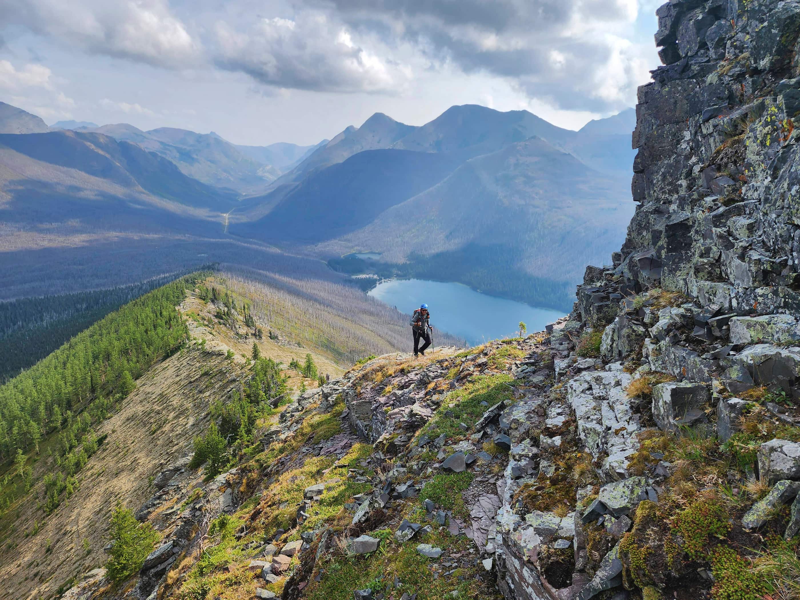
One of the things that Andrew and I talked about, was returning in the summer to string together the entirety of “Whitney Ridge” as part of an ascent of Victoria Peak. We’ve done multiple trips along the ridge, but traversing the entire 7+ km ridge to Victoria would be cool. Even cooler, would be revisiting the amazing ridge scramble between the south peak of “Whitney Ridge” and the summit of “Whitney Peak”. 😁
Despite the terrible weather, it was still great to be on a mountain and in my mind, that is seldom a bad thing. 😁
Be sure to read Andrew’s trip report! [link coming]

To get to “Whitney Creek Mountain”, we followed Highway 507 west of Pincher Creek to the Gladstone Valley Road which is located on the left side of the highway, ~1.4 km past the bridge over Mill Creek. After turning onto the road, we kept left at all major junctions, and we eventually crossed two bridges over Mill Creek. Approximately ~15.1 km from Hwy 507 or ~2.3 km from the 2nd bridge, we came to a junction marked by a pipeline pumping station on our right. “Whitney Creek Mountain” is immediately behind the station, so we turned here and followed the main road for 1.5 km until we arrived at a gas well at the base of the mountain. This is where road ends and it’s also where we parked – well away from any of the buildings.
Our route up the east face is what I call a ‘park and hike’, meaning that you literally get out of your car and start up the mountain. It was somewhat steep and when combined with deep snow, it took us just over 1.5 hours to ascend ~225 m to reach the top of the cliffs that we could see from my 4Runner – a distance of only ~653 m! Afterwards, the grade lessened for a bit, until just before the southeast ridge, where we had to climb over a cornice to reach the crest. From here it was an easy – but windy – walk to the summit and we descended the same way.

Our total distance travelled was 2.1 km with total elevation gains of 356 m. Our total roundtrip time was 2 hours and 26 minutes.

Gearing up next to the gas plant. As you can see from the spindrift, it was a miserable day for wind.

Andrew leads the way. We followed the same route that Brad and I used in 2018.

Mount Albert, located in Beauvais Lake Provincial Park, is behind me. (Photo by Andrew Nugara)

Finding instant reprieve as we enter the trees. This was the main reason why we chose this as our objective.

The slope prior to the cliff band is quite steep.

A better view of the slope.

Arriving at the large cliff band. (Photo by Andrew Nugara)

Heading climber’s right as we look for a way up. (Photo by Andrew Nugara)

I take off my snowshoes and attempt to scramble up… (Photo by Andrew Nugara)

And I make a valiant effort… (Photo by Andrew Nugara)

But it ends in retreat. It was just too wet and snowy, though as I say in disc golf, “It should’ve been a birdie!” 😂 (Photo by Andrew Nugara)

Further to climber’s right, Andrew makes an attempt…

While I contemplate a different route. I would end up following Andrew. (Photo by Andrew Nugara)

A brief pause on top of the cliff.

Andrew scrambles over a minor rock band.

The gentle grade above the cliff band was a welcome change.

Andrew leads as we begin the easy trip to the southeast ridge.

We can now see the southeast ridge through the trees.

A layer of ice made the cornice a slippery affair.

My view after retreating back to pick up the glove I dropped. 😂

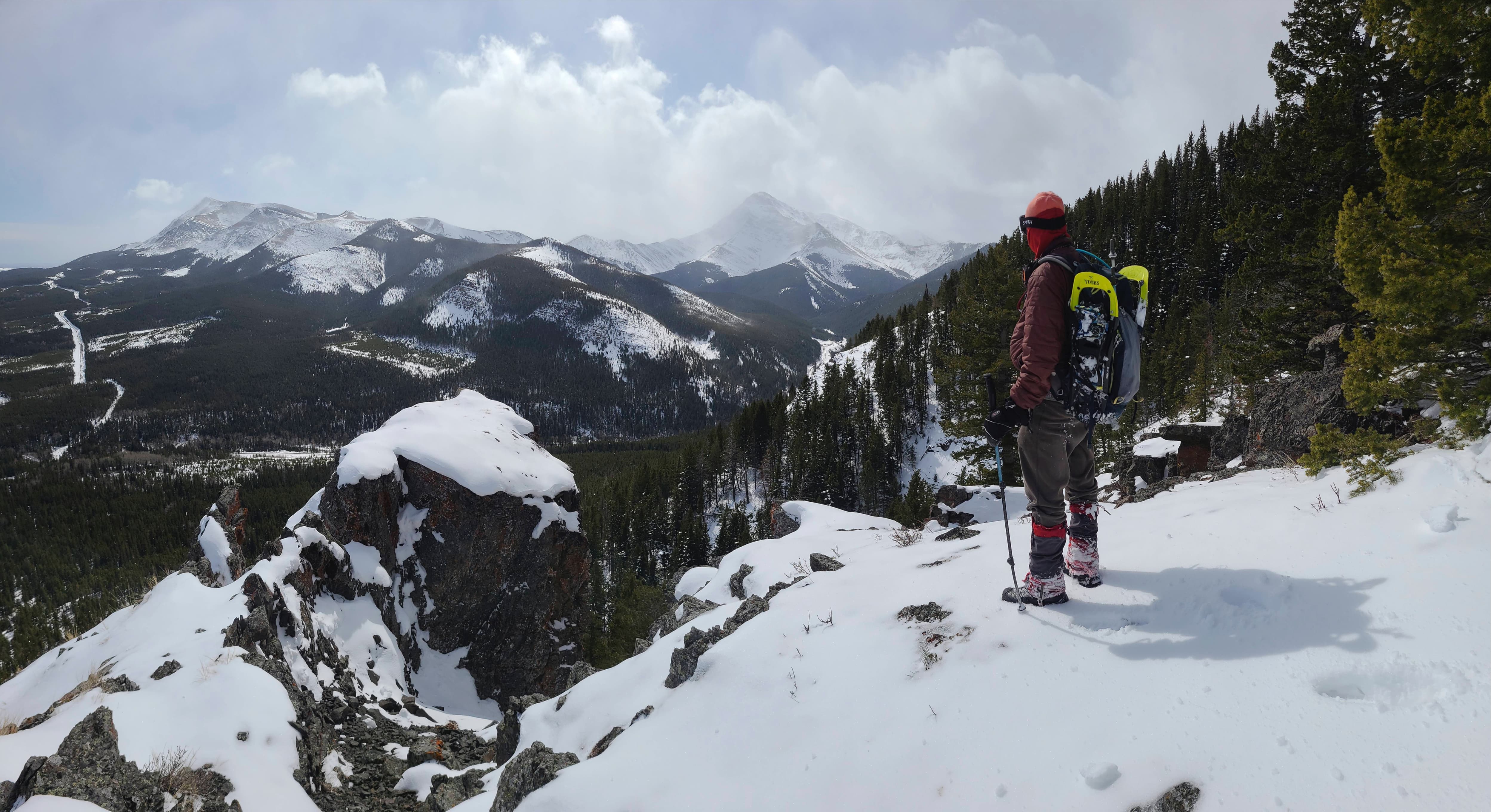
On the ridge and making the easy – but incredibly windy – walk to the summit.

Arriving at the summit.

The summit of “Whitney Creek Mountain” A.K.A. “Victoria’s Secret” (1919 m).

Looking south at the twin peaks on “Whitney Ridge”. The entire 7+ km north ridge of Victoria Peak has three separate and distinct objectives: “Whitney Creek Mountain”, “Whitney Ridge”, and “Whitney Peak”.

A closer look at “Whitney Ridge”. It doesn’t look like it from here, but it’s a wide open traverse.

An even closer look at the south peak of “Whitney Ridge” and behind it, one of “Whitney Peak’s” twin summits.

For reference, this is what it looks like when you’re on “Whitney Peak”, with “Whitney Ridge” in the middle and “Whitney Creek Mountain” behind it. “Whitney Peak” is an excellent ridge scramble! 😁

Gazing to the southwest at “Mill Creek Peak” and “Mill Creek Mountain” with Windsor Mountain (far left) and Castle Peak behind it.

Looking a little more to the southwest at Mount Gladstone.

The view west reveals all four high points on “Gladstone’s Toe”.

Christie Mine Ridge sits to the east. It is located entirely on private land, but last spring, I was able to enjoy a nice trip to the summit. To protect the owner’s privacy, I have never published a trip report.

However, for reference, this is the view from the summit of Christie Mine Ridge back to “Whitney Creek Mountain” (centre). 😁

Glancing east at our old favourite, Prairie Bluff.

Andrew pauses for a quick, but chilly summit photo.

I do the same. (Photo by Andrew Nugara)

Making a hasty retreat.

Leaving the ridge… (Photo by Andrew Nugara)

For the shelter of the trees.

We ditched our snowshoes for the trip back.

The weather had cleared enough that we could enjoy the views from the top of the cliff band. This is looking down at my Taco…

And this is the wider view to the east.

For a few minutes, we could also see Victoria Peak (centre).

Looking back at the cliff band.

And just like that, our quick trip came to an end. Like “Blue Mountain” and other foothills in the Castle, “Whitney Creek Mountain” is a great back pocket destination to bail you out on bad weather days. Not only that, these foothills provide great fun and great views even when the weather is decent and you are looking to get in a quick trip. As I noted before, it would be a very cool trip to traverse the entire 7+ km ridge as part of an ascent of Victoria Peak. Andrew, Brad, and I tackled “Whitney Peak” as part of our descent from Victoria, but we all agreed, that section of the ridge would be an even better scramble on ascent. 😁


Leave a Reply