⚠️ Hiking and scrambling are inherently dangerous activities. Please read my Disclaimer. ⚠️
Sadly, our summer began with the loss of my father-in-law, Lenard. Besides being an avid hunter and fisherman, Lenard was an incredible musician. When he was fifteen, he spent the summer picking strawberries so he could afford to buy his first guitar, which he then went on to master over his lifetime. He played and jammed with notable musicians such as Wilf Carter (as the opening act for Merle Haggard), Lenny Breau, Randy Bachman, along with many others including those in his own rock’n roll and country bands. In fact, both he and my mother-in-law, Elaine, are in the Manitoba Music Museum as members of, The Shades, one of the early rival bands to the Guess Who. We will deeply miss Lenard and family gatherings won’t be the same without his gift of music.
As it had been a while since my last trip, I was hoping for something that would help me regain my stamina. That’s why I decided on Alan Kane’s loop of Forum Peak (2415 m) and Akamina Ridge (2600 m) as described in, Scrambles in the Canadian Rockies. Indeed, I first attempted Forum Peak with Andrew on the Victoria Day weekend in May 2021, but a fresh dump of deep snow in the days prior, turned our foray into a short, but excellent snowshoe onto Forum Ridge. Forum Peak itself however, was definitely a no-go given the treacherous conditions and since then, I’ve wanted to come back and tag it using Kane’s route.
The problem has been, that everyone and their dog has visited Forum Peak and Akamina Ridge, and so I resigned myself that this was going to be a solo trip. Interestingly (at least to me), I realized back in June that I only have a handful of official summits left to complete in Paahtómahksikimi (Waterton). Moreover, of these summits – Forum Peak, Akamina Ridge, Avion Ridge, Newman Peak, Festubert Mountain, Lone Mountain, and Mount Boswell – almost all except for Boswell, are relatively easy and can be done two at a time. Hence, I’ve found a new level of motivation for hiking in Waterton. Even better – because I’m terrible company when I’m solo hiking – Andrew was game to join me today even though he’d done both peaks before. 😀
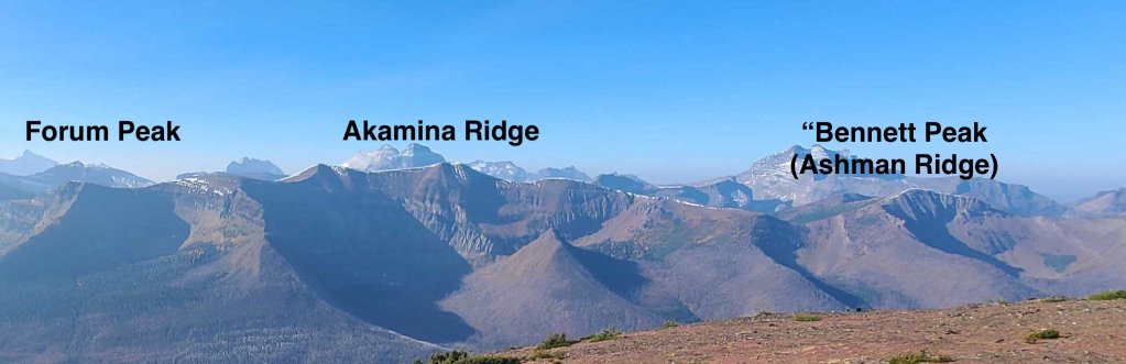
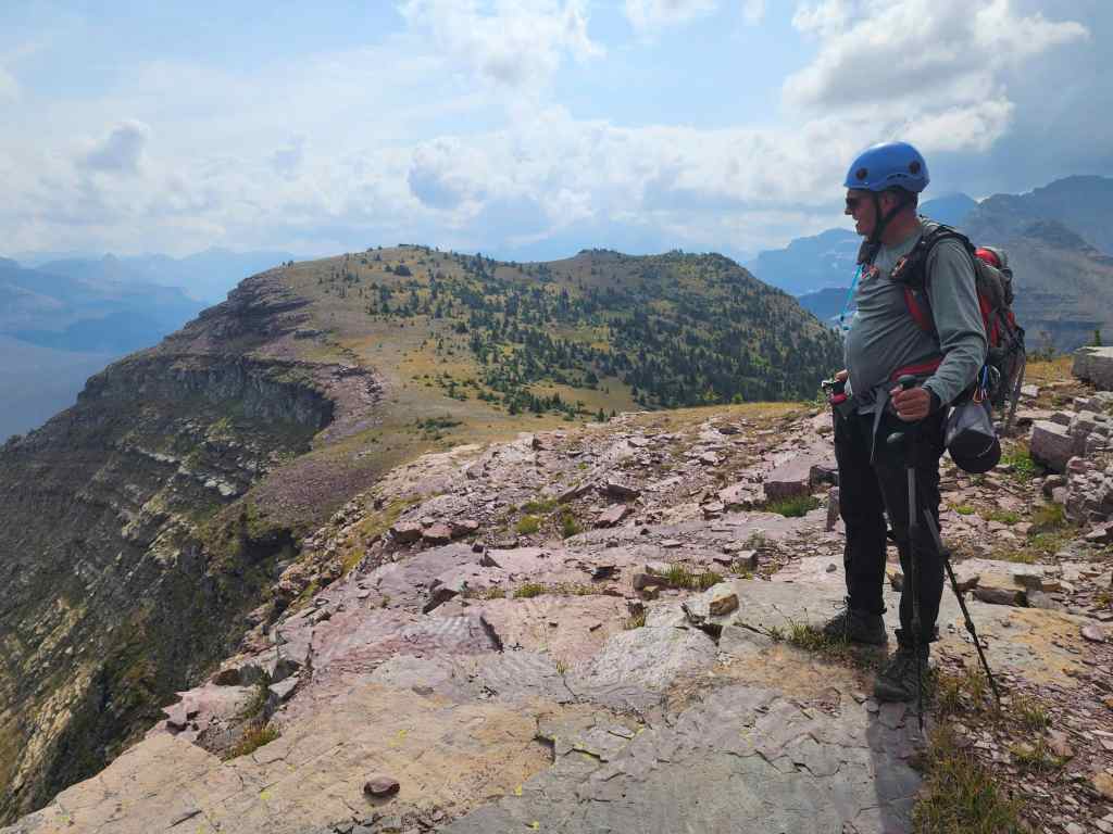
In fact, as a bonus, we ended up adding a third peak onto the trip though it wasn’t the one we were thinking of. Andrew initially wanted to visit the peak immediately to the southwest of the summit of Akamina Ridge, which we refer to as, “Akamina Minor”. However, we just weren’t feeling it in the moment while on Akamina’s summit and decided to keep going towards Wall Lake. Looking back from a small high point further to the northwest, we both regretted that decision.
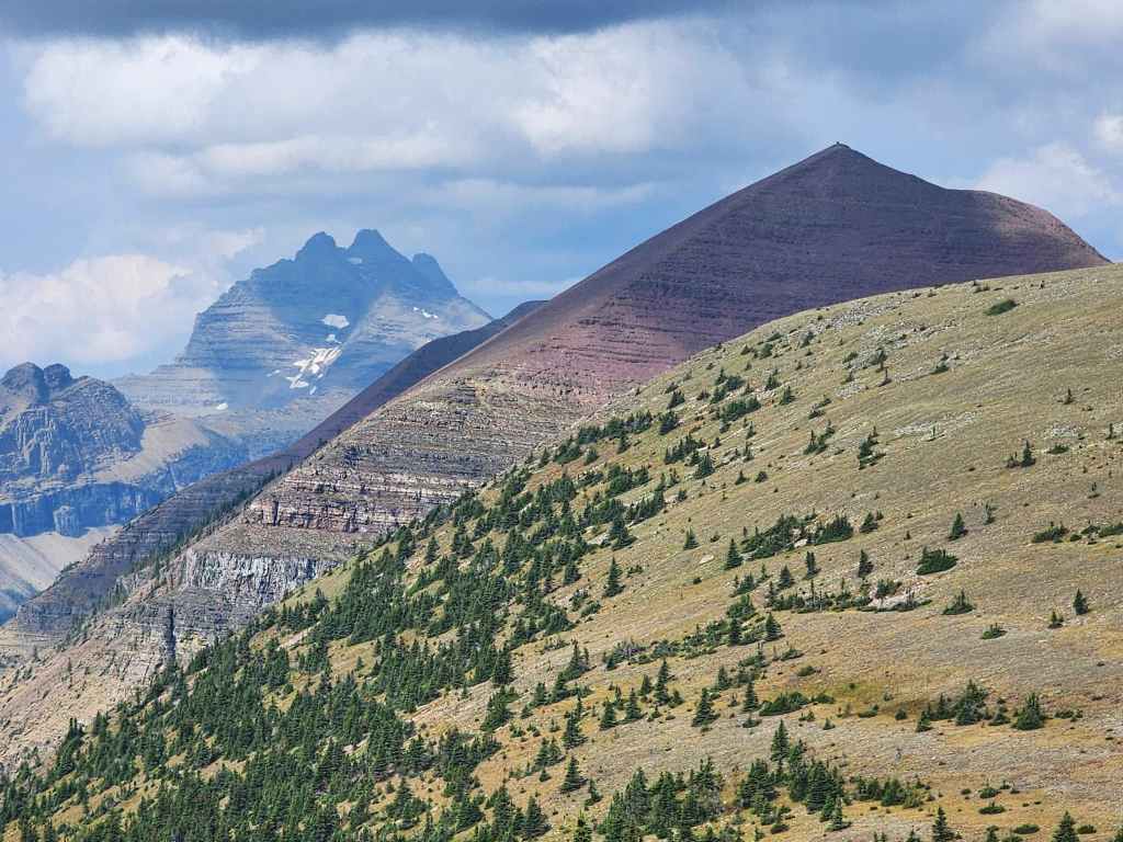
To compensate, we ventured up a prominent peak located on what Mike Potter calls, the “Ridge West of Akamina Ridge”, in Ridgewalks in the Canadian Rockies. In addition to Potter, Andrew also hiked this interesting ridge in 2011 and simplified the name to “Akamina West”. Moreover, as there are two peaks on the ridge with the first one being the highest point, we initially called it “Akamina West 1” (2430 m) and the second peak, “Akamina West 2”.
However, after getting home and doing more research, we discovered that “Akamina West 2” has a name. Thanks to Rick Collier’s report on Kishinena Ridge and See Peak – and through Figure 4-3 (page 27) in a publicly available guiding application from 2017 – we were able to determine that it is called, Mount Ashman, as it sits above Ashman Lake. Does this mean that the ridge itself should be now be called Ashman Ridge? 🤔 Perhaps – but then I did even more digging and discovered that Sonny Bou and Zosia Zgolak ascended the peak as part of a multi-day backpacking trip in 2016. As it is located next to Bennett Pass, Zosia nicknamed it, “Bennett Peak” which is also a great name. So what I’ve come up with is hopefully an informative moniker, “Bennett Peak (Ashman Ridge)”. This keeps it connected to both Bennett Pass and the ridge featuring Mount Ashman.
Unfortunately, reaching Mount Ashman would be a substantial addition to the day which means I’ll have to come back at some point in the future. First though, I need to knock off the final few official peaks on my list… bets on how long before I get distracted? Edit: I not only returned for Ashman, but I’ve now tagged all the official peaks in the Park. 😀
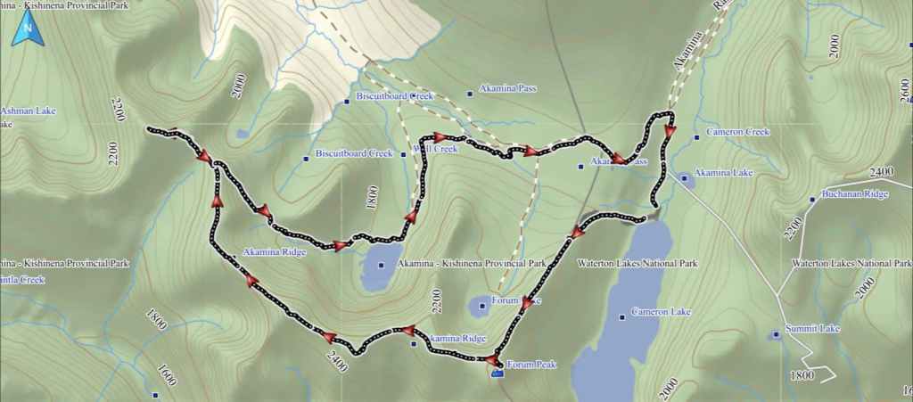
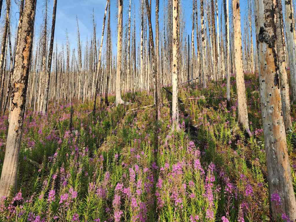
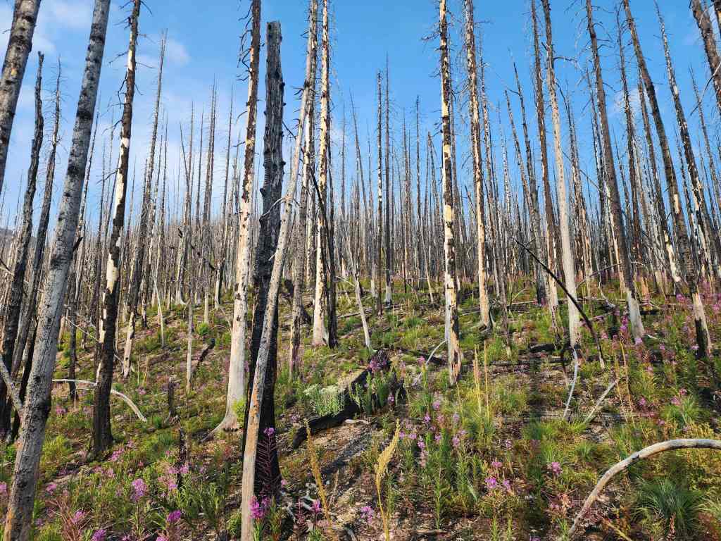
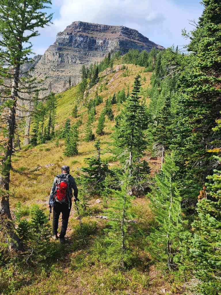
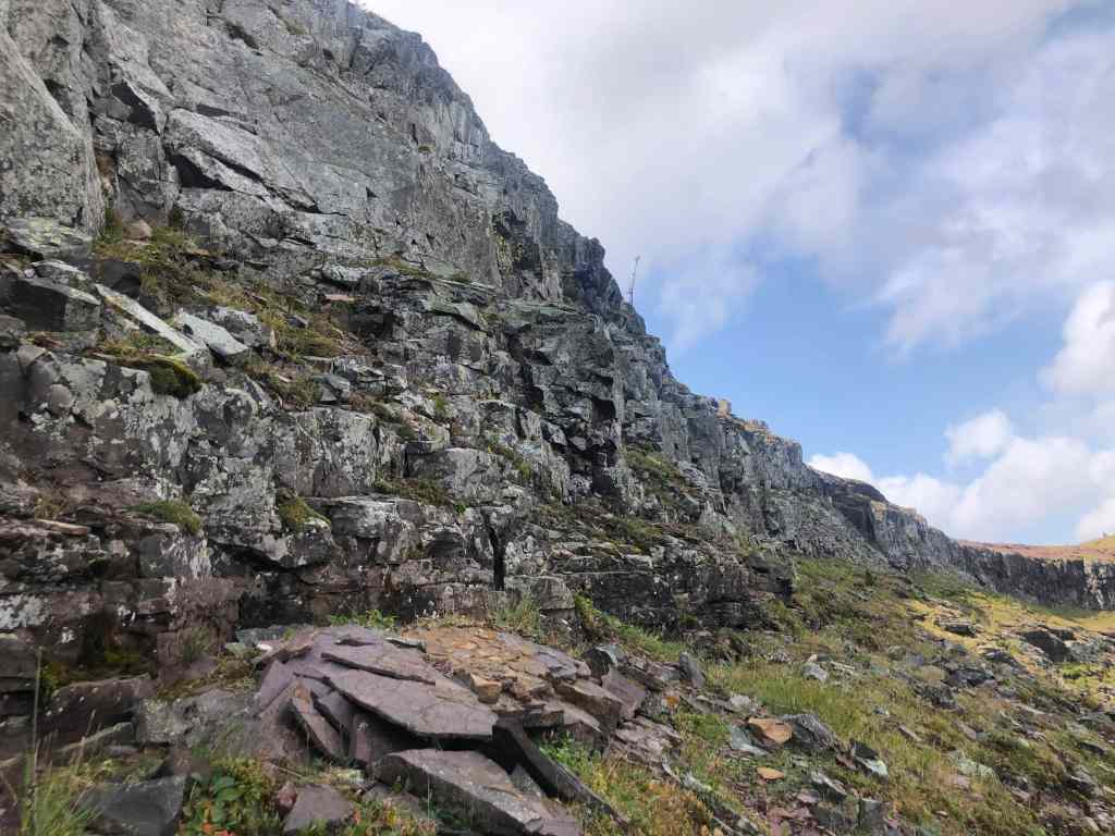
To get to Forum Peak, we drove to the Cameron Lake parking lot and then followed the Cameron Lake trail west for a couple hundred metres before leaving it to gain Forum Ridge. The 2017 Kenow wildfire opened this section up making for an easy ascent onto the ridge, where we gained the cutline described by Kane. Once on the cutline it was an easy trip onto the open section of the ridge and to the base of Forum Peak.
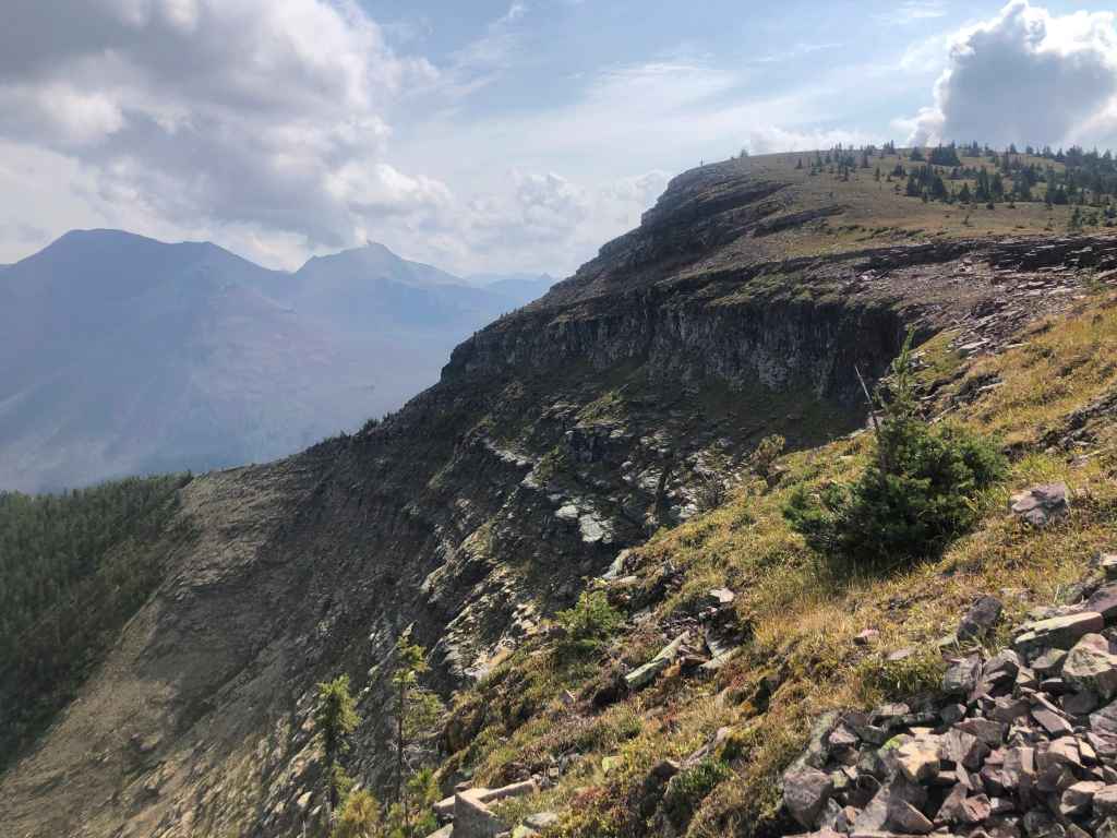
From the base, we scrambled up to the first and largest cliff band – the crux. We then headed to climber’s right and at about the 50 m mark, began to scan for a way over this “moderate step” as described by Kane. As indicated, we soon found a couple possible options, though none looked entirely straightforward. I soon zeroed in on route and began to head up. As Andrew had done Forum before, he opted to continue along a series of ledges to the col with Akamina where he would wait for me.
Scrambling up the first cliff band did involve some exposure and some careful maneuvering, but it was short-lived. Once on top, I proceeded to head back to the nose of Forum and try to tackle the subsequent cliff bands as head-on as possible, which is a deviation from Kane. However, the second band also forced me to climber’s right for a short distance, where I found a 3 m high wall with good holds that I could readily scale.
When I was above this, I again headed back to the nose where the remaining bands could be tackled more easily – again, slightly to climber’s right – until I emerged onto the summit. For reference, it took 1 hour and 50 minutes to reach the summit of Forum Peak from the Cameron Lake parking lot.
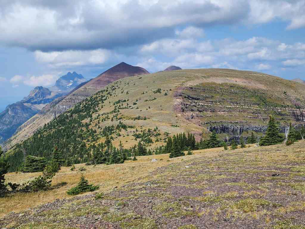
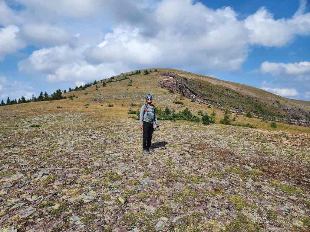
After enjoying the views on the summit, I headed over to rejoin Andrew at the col where we began the easy hike (~2.3 km from the summit of Forum) to Akamina Ridge. The first highpoint on Akamina looks like a grind from a distance, but it’s only a 130 m elevation gain from the col over ~590 m. There is a trail up to the first high point, but we left it soon after it veered to climber’s left in favour of the shorter distance offered by going straight up the ridge. Again, the terrain is easy.
From the first high point on Akamina, the summit is only ~1 km away (53 m elevation loss and 73 m elevation gain) and it’s an easy walk. We seriously contemplated heading over to the small peak immediately to the southwest of Akamina that Andrew has dubbed “Akamina Minor”, but decided not to, which in hindsight, we should’ve just done. For reference it was ~3.3 km from the summit of Forum Peak to the summit of Akamina Ridge.
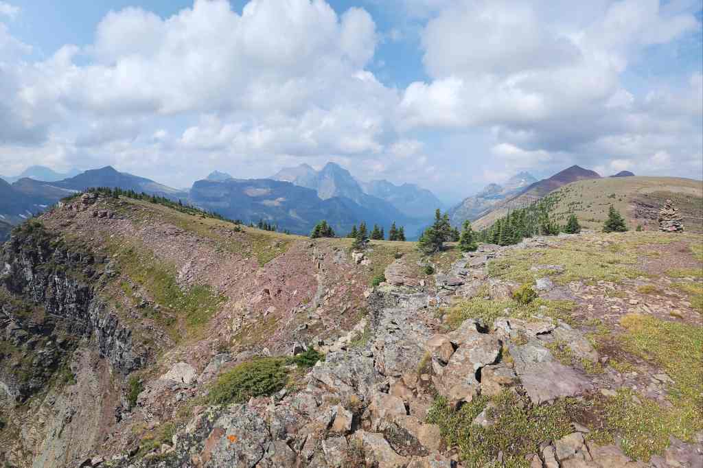
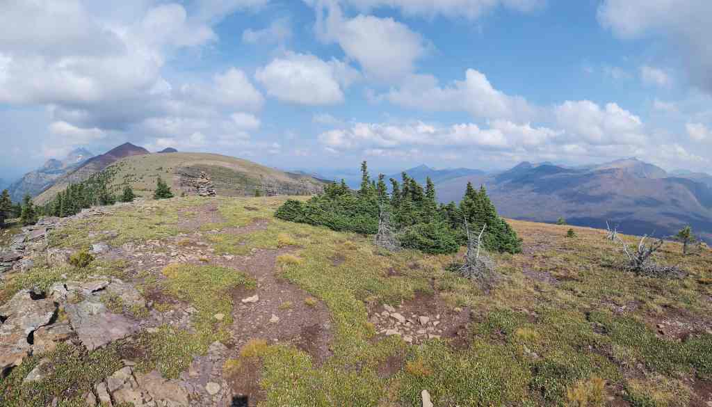
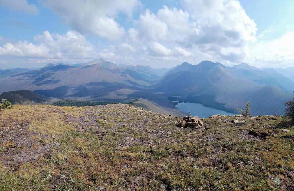
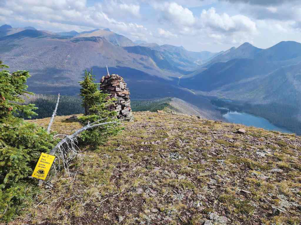
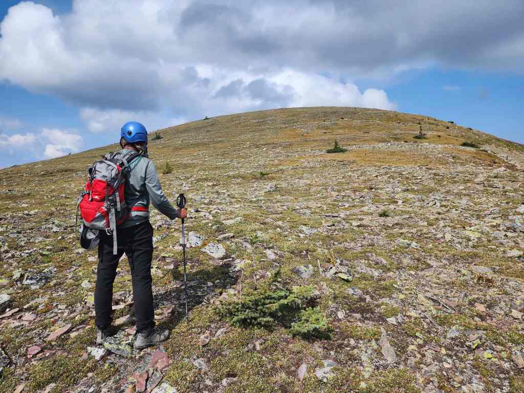
From the summit of Akamina Ridge, we continued northwest to a smaller high point located ~860 m away. Though the trail bypasses it, we made the short trip to the top where we took notice of “Bennett Peak (Ashman Ridge)” which is located only ~2.7 km from the top of the high point (~3.7 km from the summit of Akamina). We then continued along the trail until we were above the col with the high point on “Bennett Peak (Ashman Ridge)”. From here, it was a relatively quick ~1.3 km trip (63 m elevation loss and then a 211 m elevation gain) to reach the summit. We then spent about 30 or 40 minutes on the summit enjoying the views.
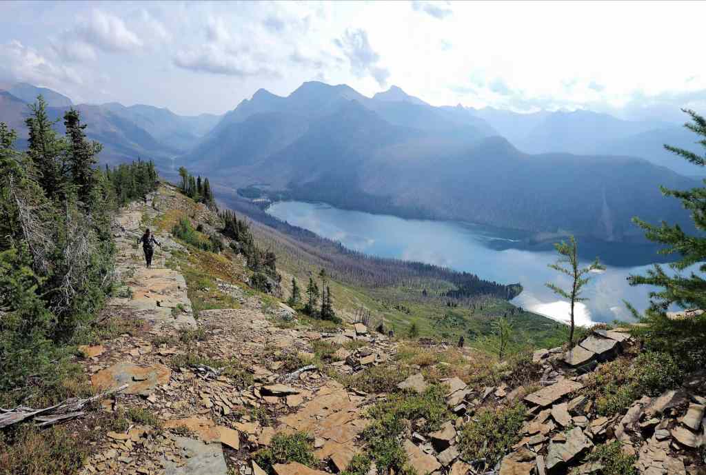
We returned the way we came and proceeded to the follow the Akamina Ridge trail back to Wall Lake and then back to the Akamina trailhead and parking lot. From there it was a further ~1 km walk back to the Cameron Lake parking lot and my vehicle.
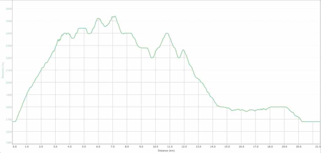
Our total roundtrip time was 7 hours and 40 minutes and our total distance travelled was 21 km. Total elevation gains came in at 1419 m.

Our starting point in the Cameron Lake parking lot with Forum Peak and Forum Ridge in the background.
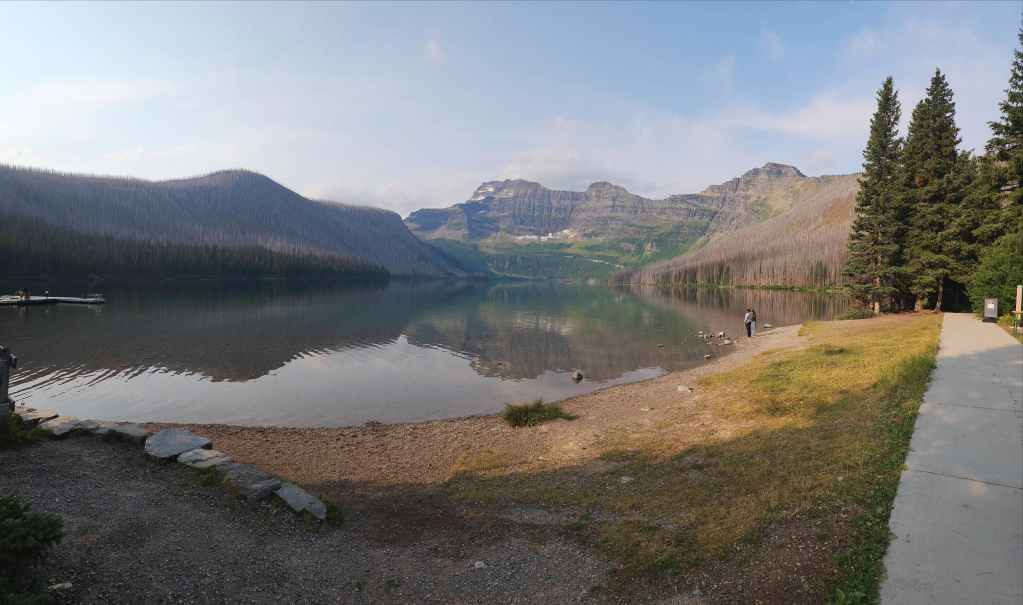
A very calm and serene Cameron Lake. Though the day was hazy from smoke, it was relatively windless which is exactly what you want when tackling a long ridgewalk in southwestern Alberta.
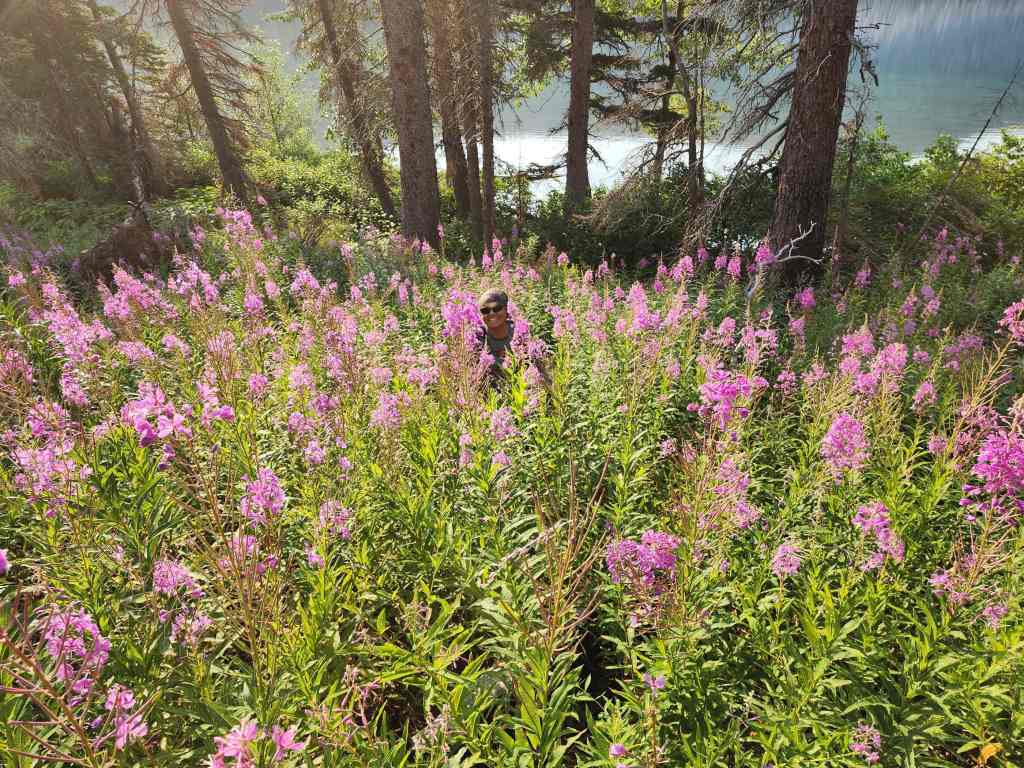
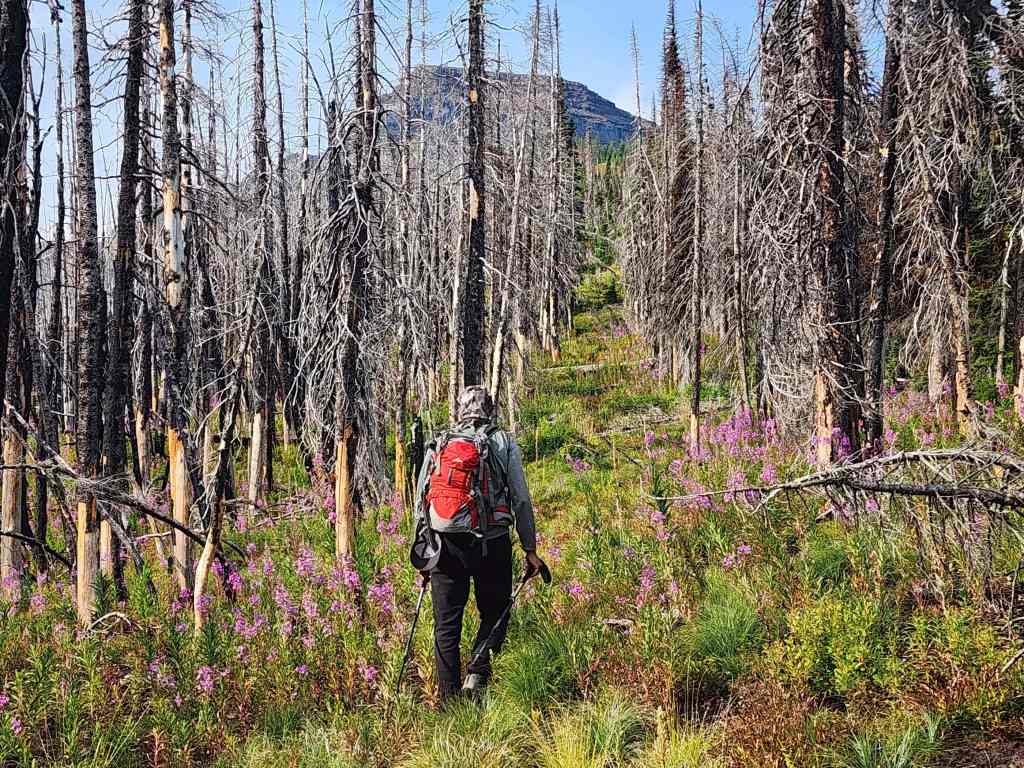
Andrew disappears inside a patch of fireweed shortly after leaving the trail.
Fortunately, the fireweed thinned out the higher we went.
Looking back towards Cameron Lake.
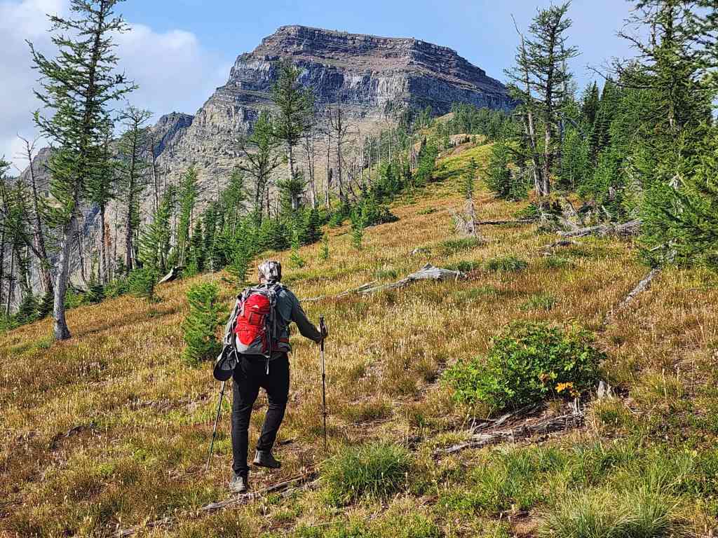
Nearing the ridge crest.
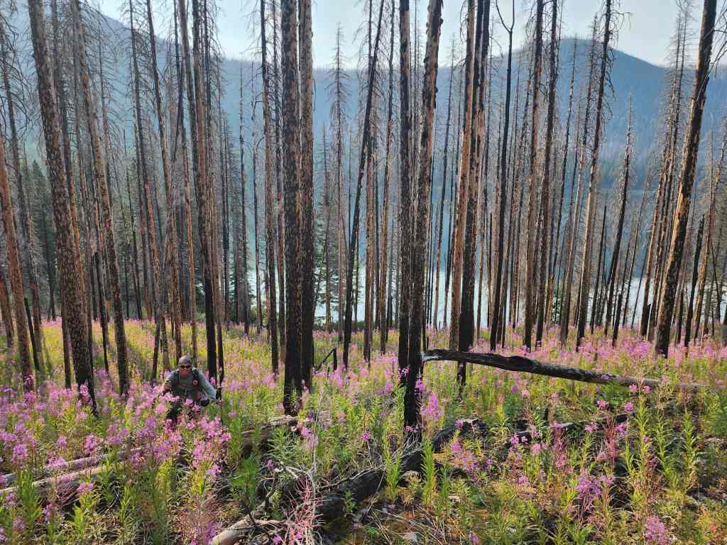
Approximately 25 minutes after starting, we reached the cutline. From here, it was an easy hike to reach the base of Forum Peak.

Gazing back after reaching the open ridge.
Continuing toward Forum Peak.
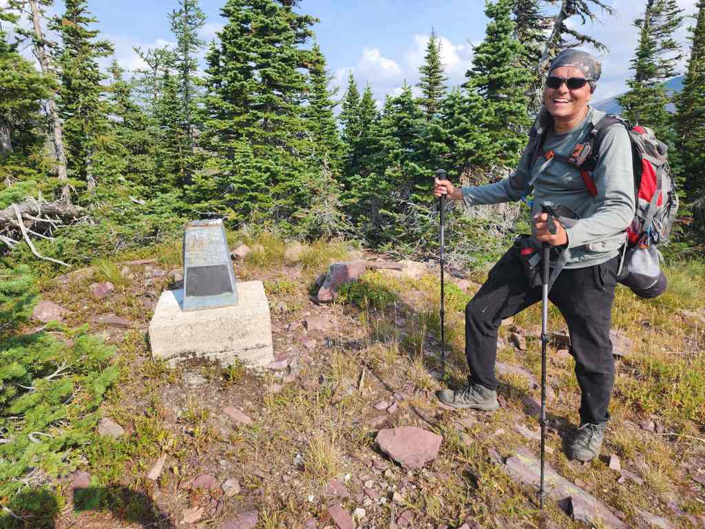
Andrew stops at a provincial boundary marker.
A closer look at the marker.
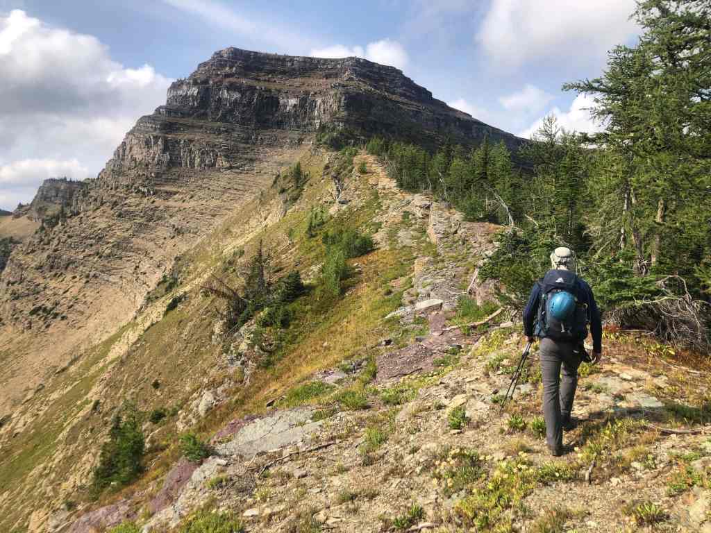
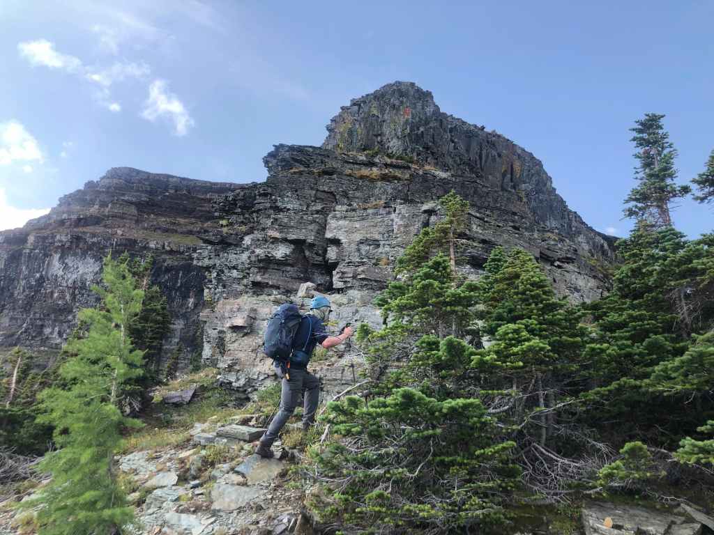
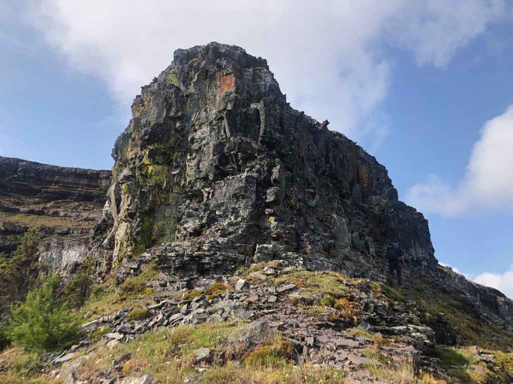
Nearing the final section of the ridge.
Sizing up our options as we get closer. (Photo by Andrew Nugara)
The view over to Mount Custer (right of centre) and Chapman Peak (left). (Photo by Andrew Nugara)
Arriving at the base. (Photo by Andrew Nugara)
Lokking back and along the ridge.
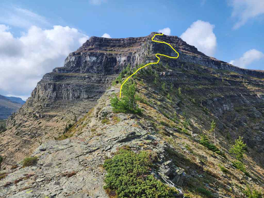
An approximation of my route.
I lead the way up the first section… (Photo by Andrew Nugara)
Followed by Andrew.
Andrew checks out colourful Forum Lake.
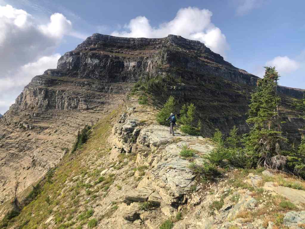
Our first major obstacle and the crux. Following Kane’s advice, I (lower right) lead us to climber’s right. (Photo by Andrew Nugara)

My view back to Andrew.
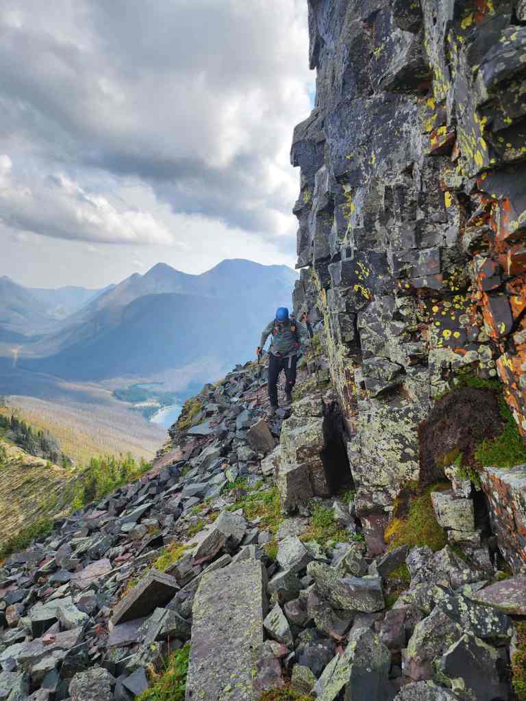
We’d follow the cliff looking for a way up.
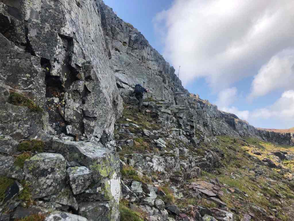
At this point, Andrew decided that because he’d ascended Forum several times before, he’d continue along the ledges and meet me at the col (far right). (Photo by Andrew Nugara)
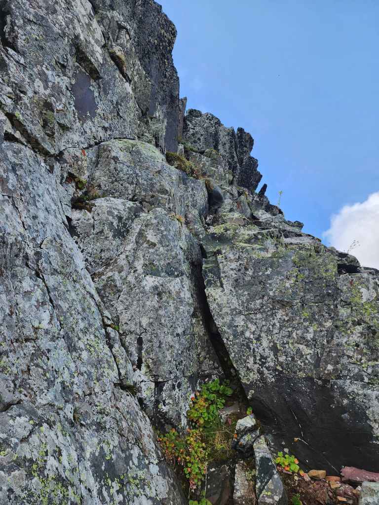
A short distance from where we’d started along the cliff, I found this route to the top.
I’m hard to see (look in the centre) as I begin to scramble. This was the most exposed section and what I’d identify as the crux. (Photo by Andrew Nugara)
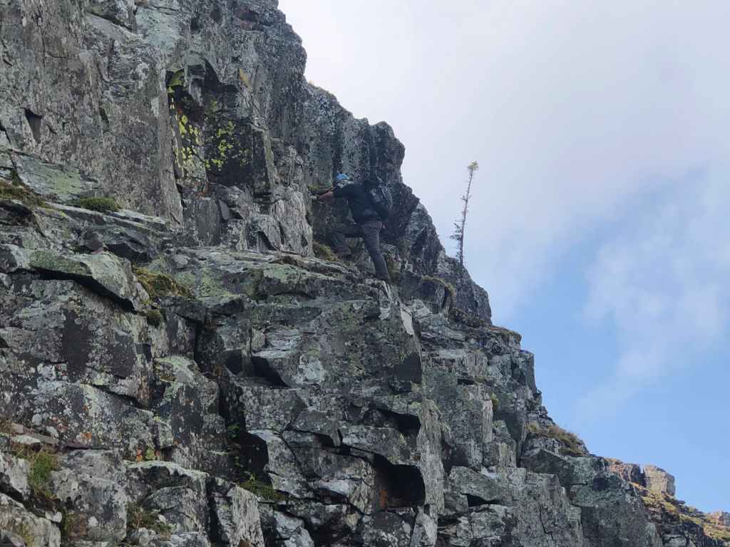
A closer view of the previous photo. (Photo by Andrew Nugara)
On top of the crux and looking down at Forum Lake.
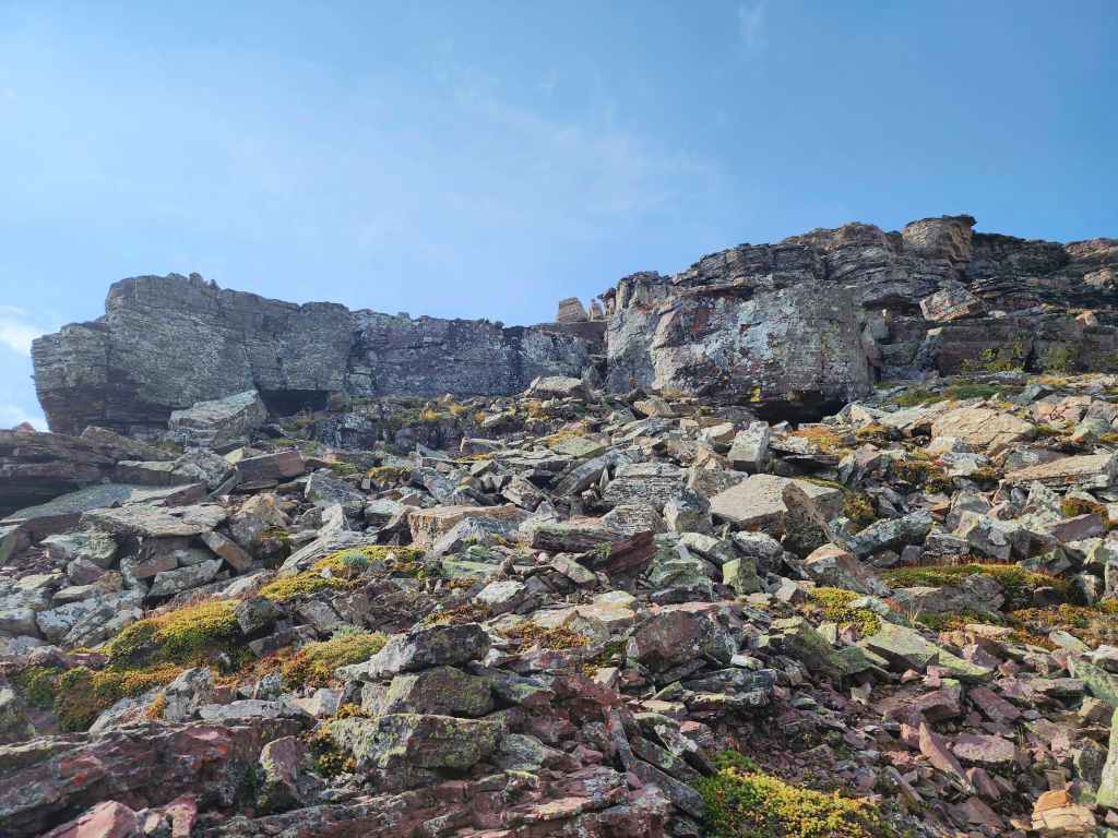
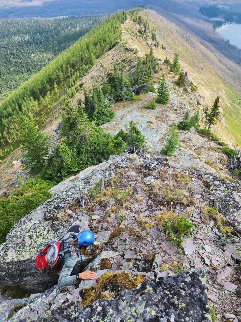
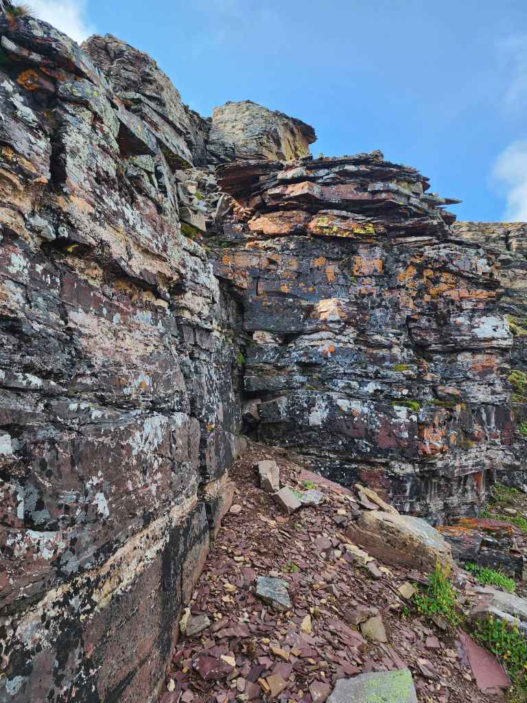
Looking up at the next series of cliffs.
After passing the crux, I made my way back to the nose of Forum Peak where I this very cool view was waiting for me. 😀
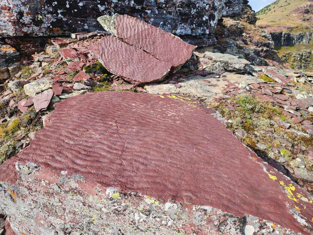
Rippled-marked red argillite.
From the nose, I trended climber’s right for a short distance until I found this 3 m wall that I scaled to get above the second cliff band.
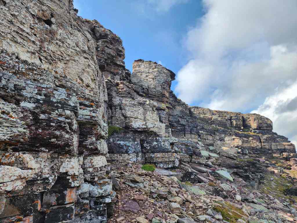
Above the second cliff band and following the third cliff band to climber’s right.
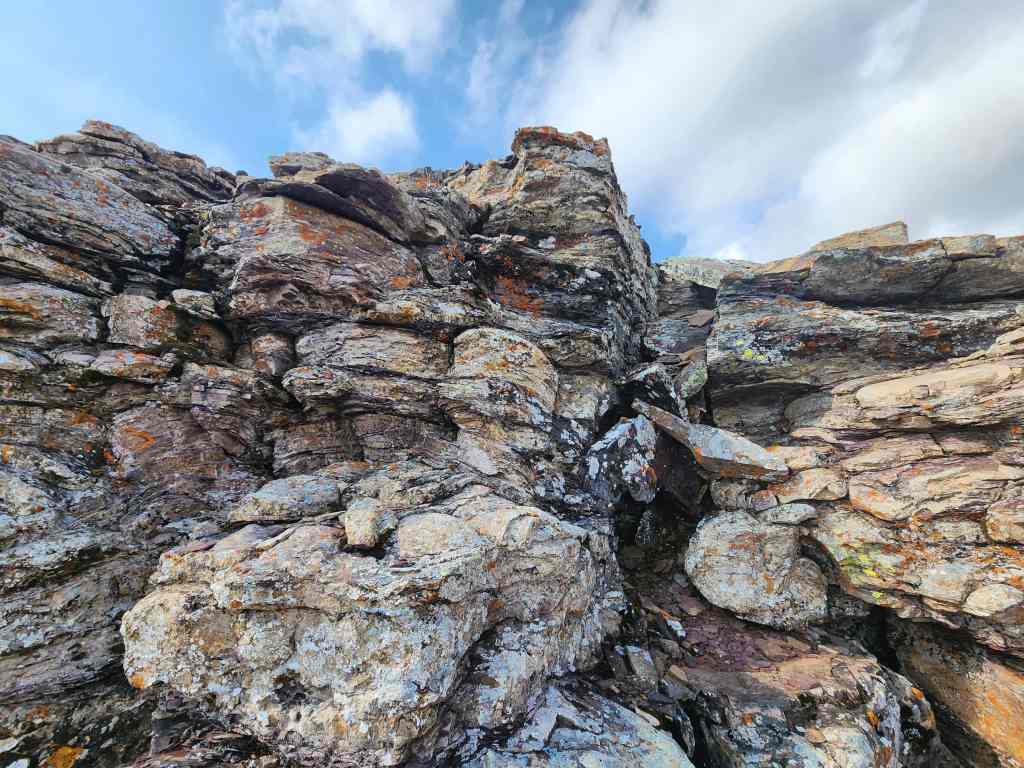
It didn’t take long before I found a small chimney that I could use.
Emerging onto the summit.
Andrew’s view over to me as I arrive on the summit. (Photo by Andrew Nugara)

A closer view of the previous photo. (Photo by Andrew Nugara)
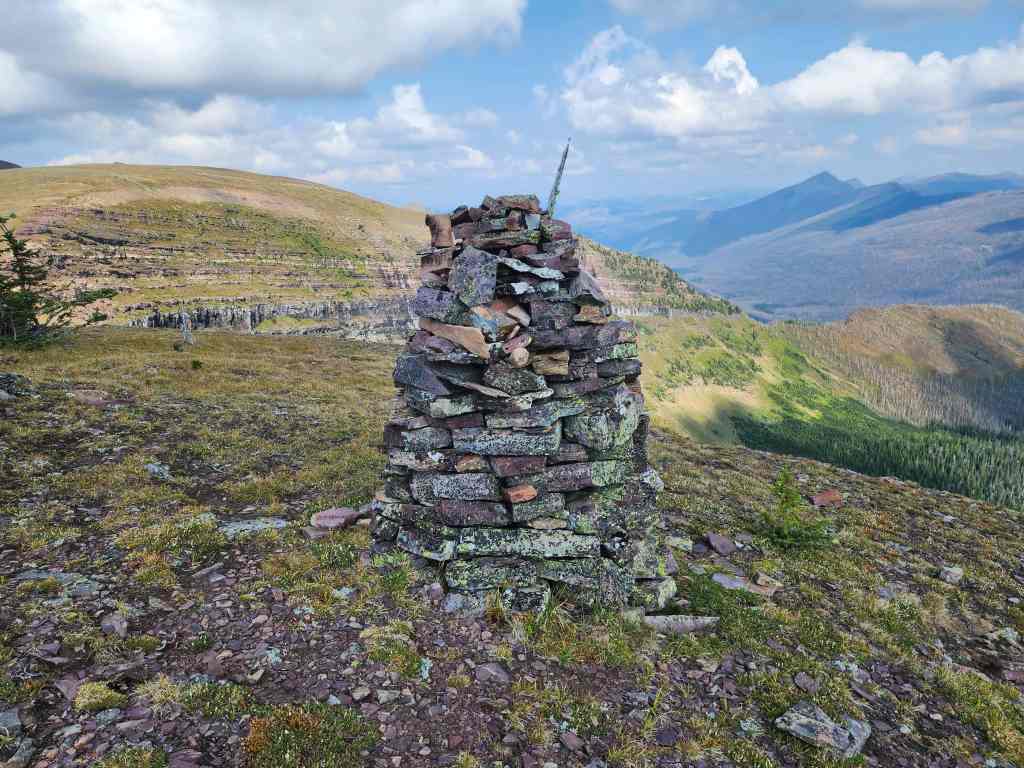
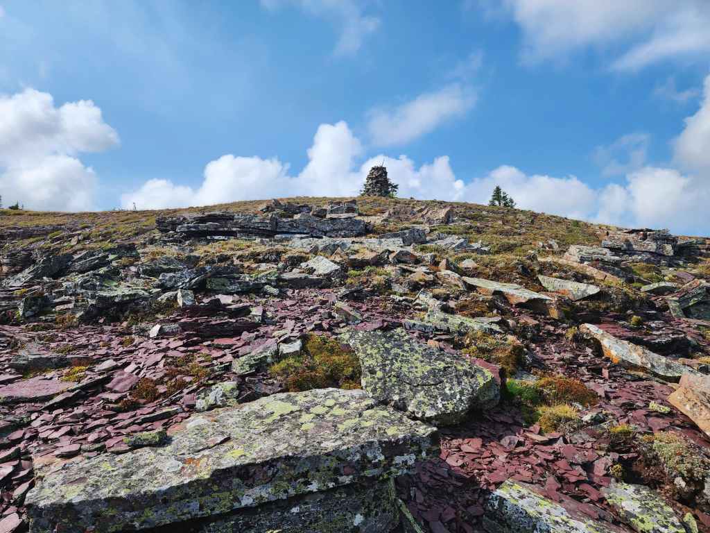
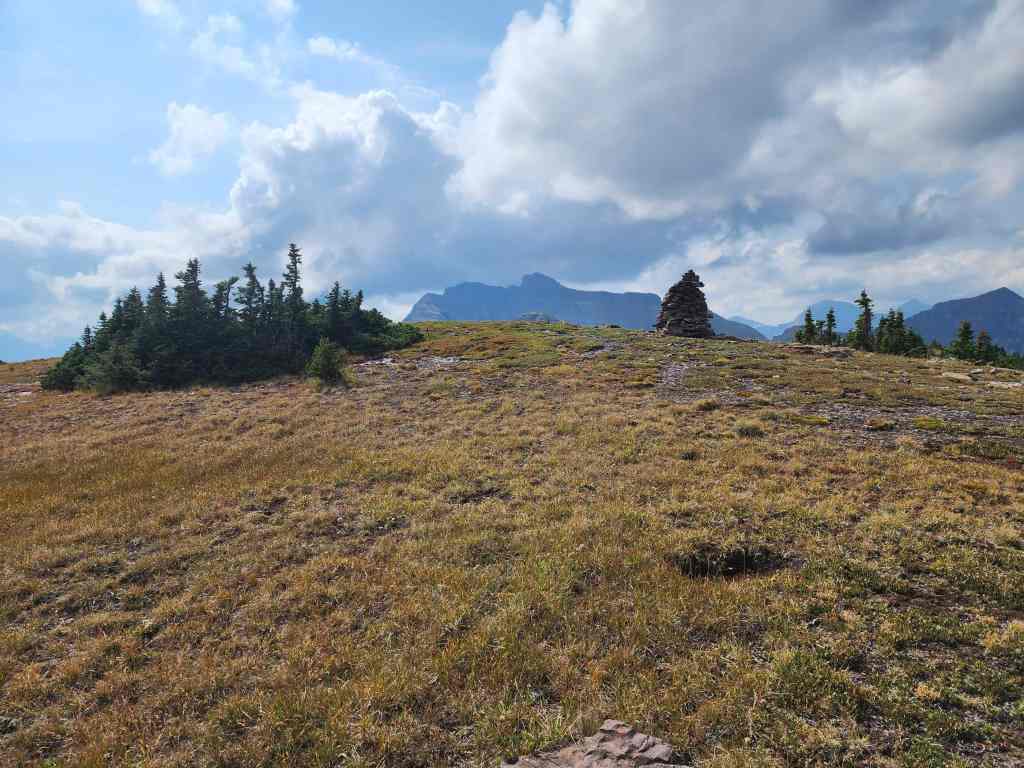
The first large cairn is not the summit…
The actual summit sits a few metres further to the south. Forum Peak is the southernmost peak in the Canadian Rockies. (source)
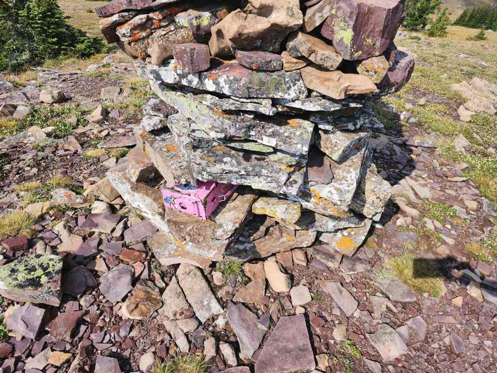
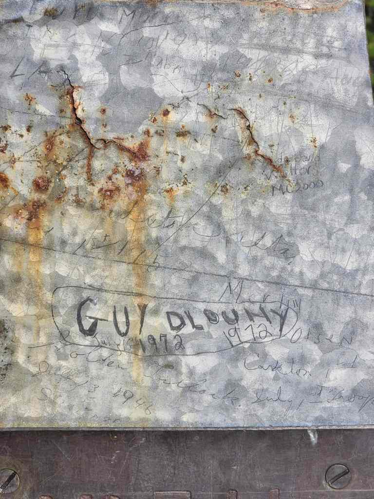
Ephraim’s summit registers are hard to miss!
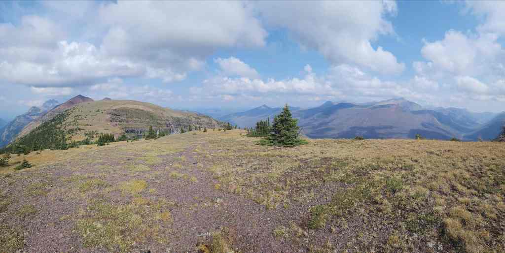
A pano to the southwest…
And then to the west.
Looking northwest…
And finally to the north.
Cameron Lake was very calm and I could see at least a half-dozen kayakers on the water.
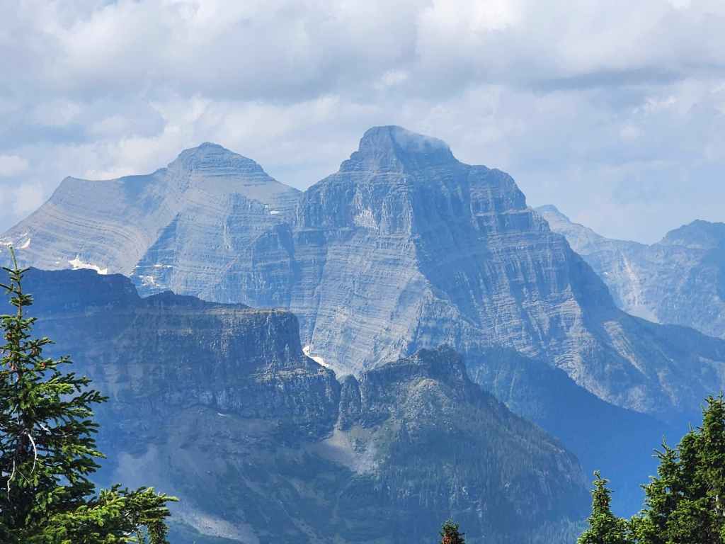
Mount Custer (centre) is reachable from Forum Peak, but in this day and age, you’d probably be arrested – or taken out in a drone strike – for illegally entering the USA. 😳
Gazing past Mount Custer towards Mount Chapman.
Clouds envelop the summit of Mount Alderson.
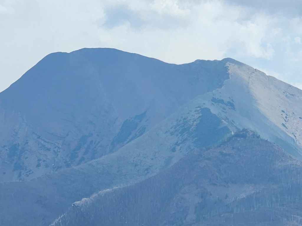
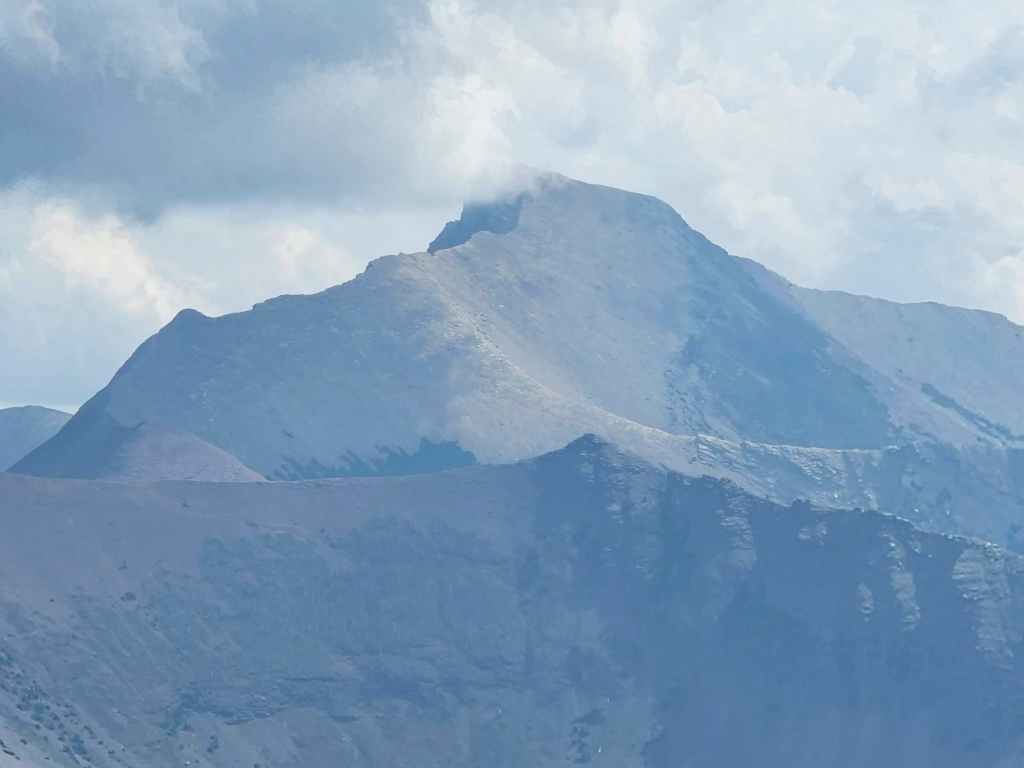
It’s too bad it was so hazy. This is a close up of Mount Carthew.

Another look at Mount Carthew (centre) with Buchanan Ridge to its left.
Zooming in on Mount Galwey…
And then at Mount Dungarvan. Middle distance on the left is “Igneous Peak”.

Looking north at Piinaquiium (Mount Blakiston), Mount Lineham (middle distance), and Mount Rowe (foreground).
A slightly different angle of the previous photo, this time with the summit of Anderson Peak on the far left.
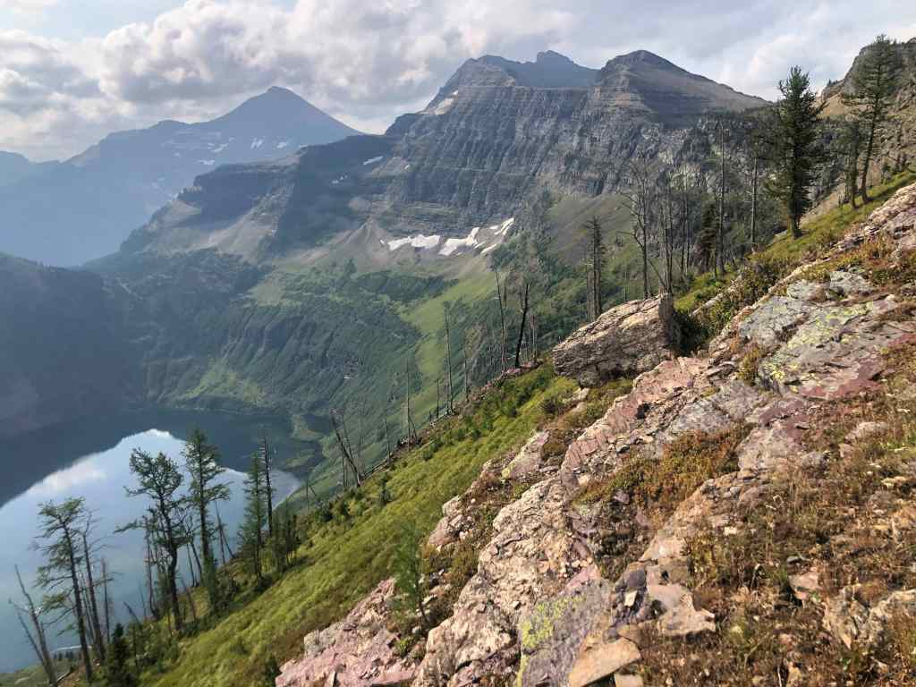
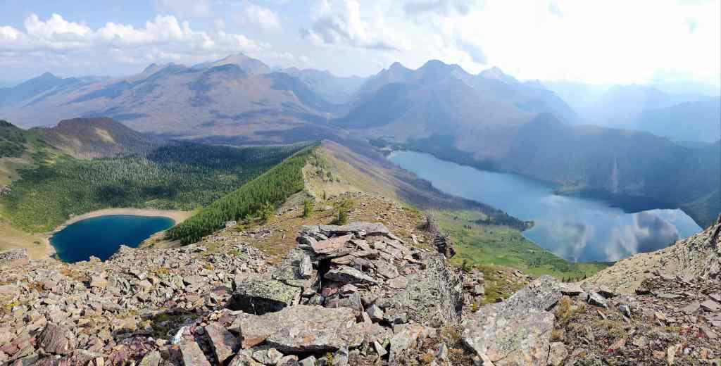
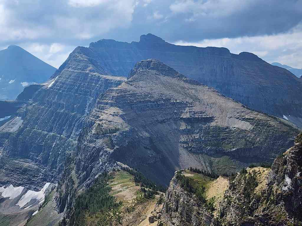
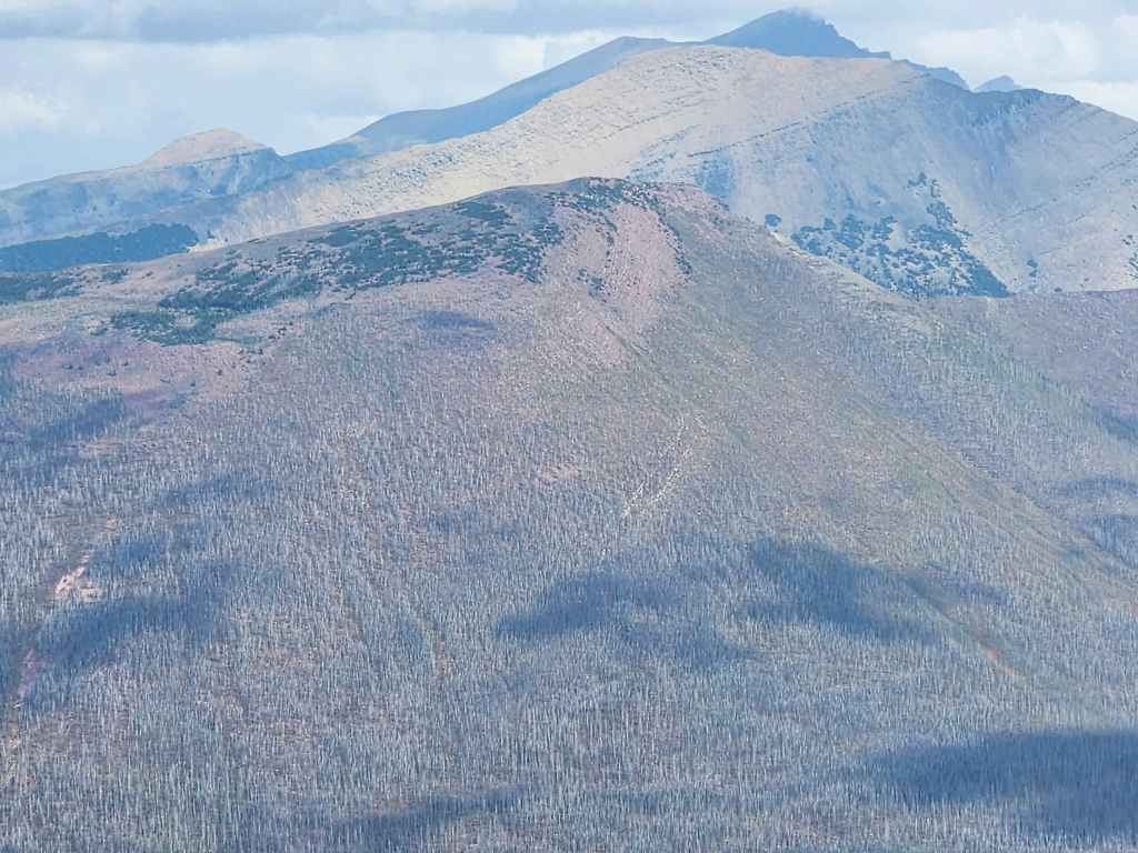
The view west and towards Akamina Ridge (centre) and Long Knife Peak (left).
A telephoto of the first high point on Akamina (right) and Long Knife Peak.
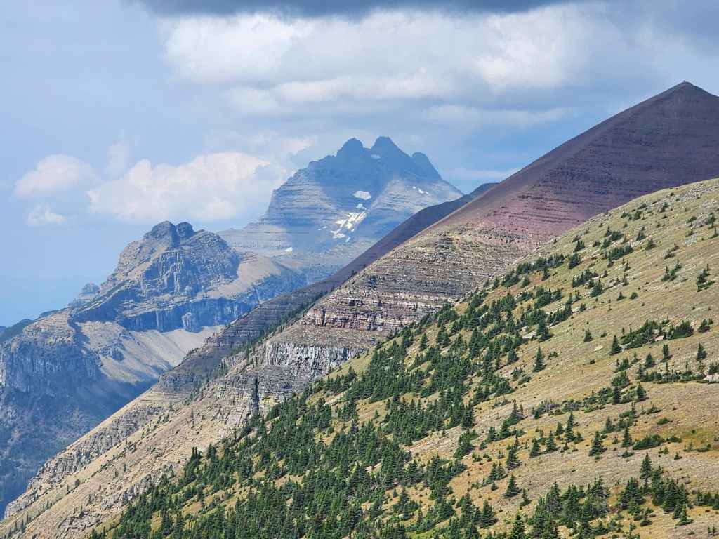
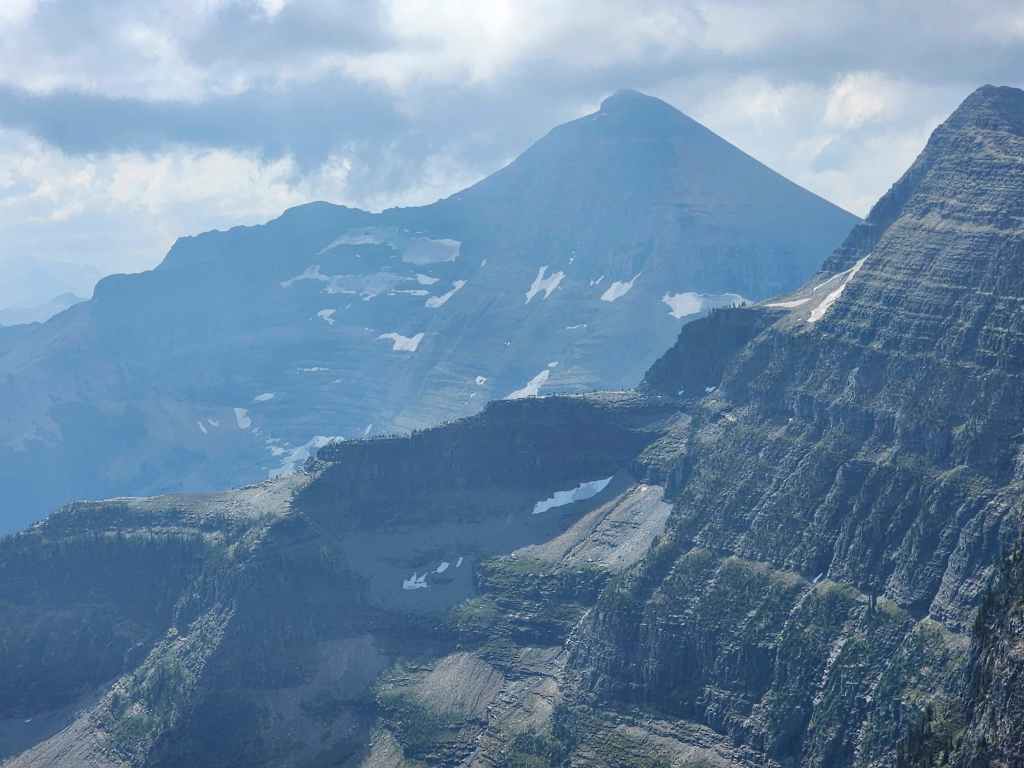
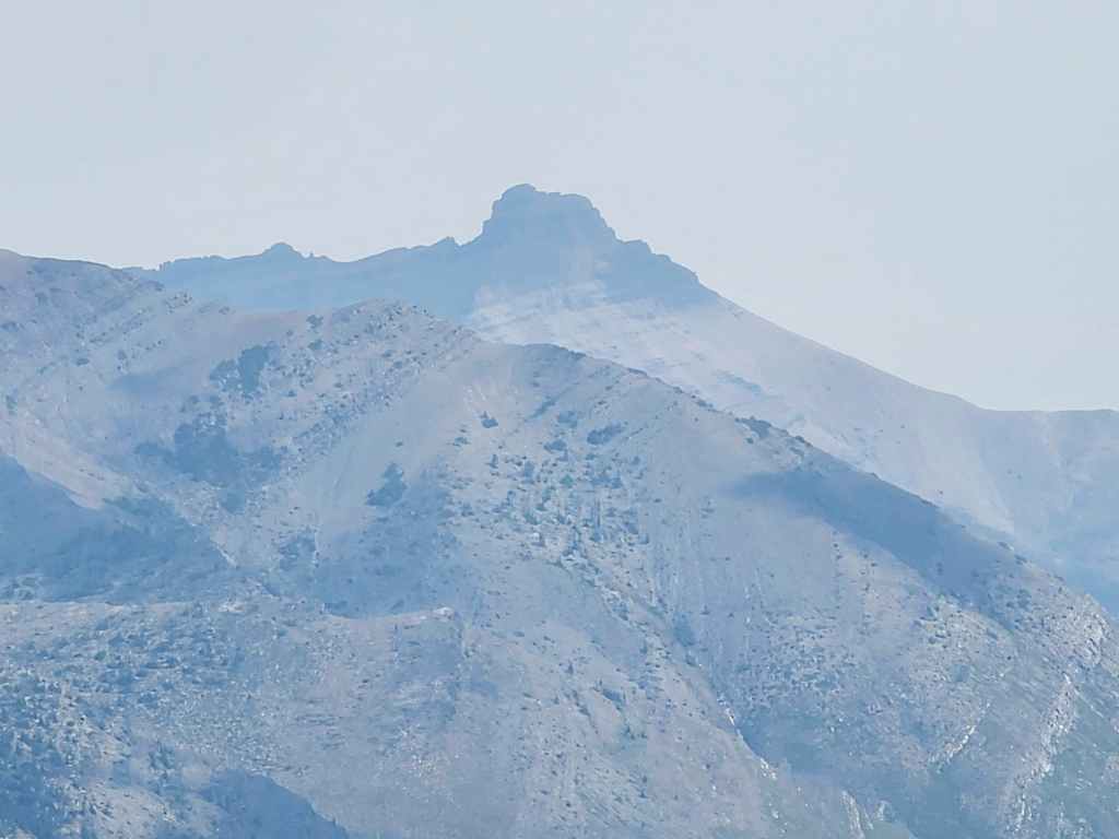
Zeroing in on Long Knife. This is very cool peak!
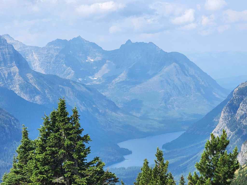
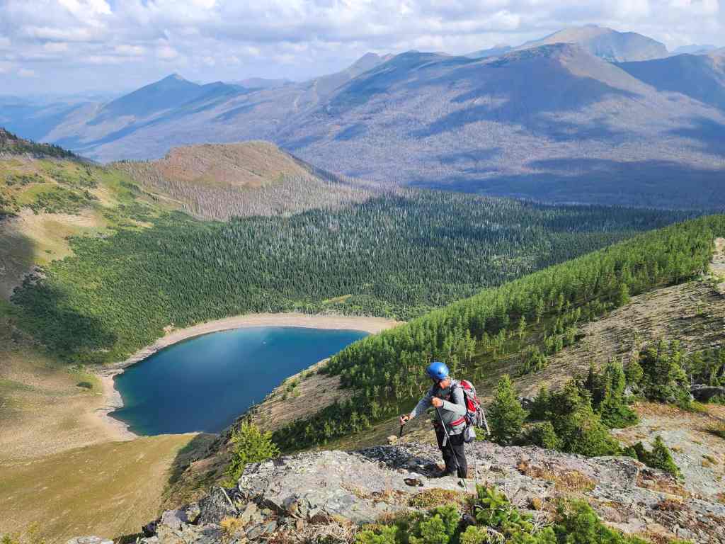
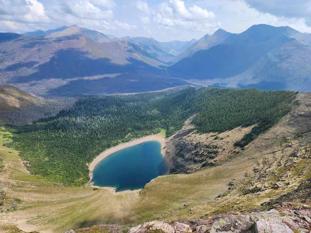
Despite the smoky haze, I could see Parke Peak (left of centre) and Upper Kintla Lake.
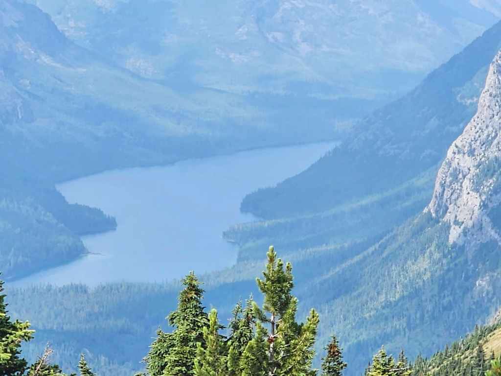
A closer look at Upper Kintla Lake.
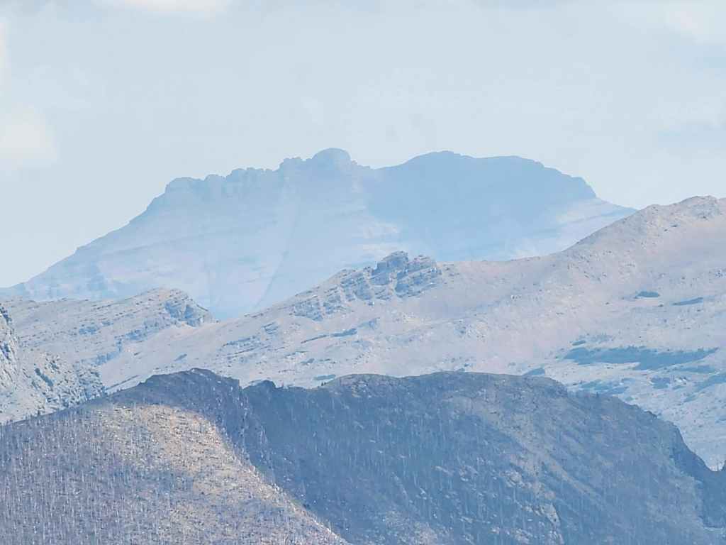
Kintla Peak on the left and Kinnerly Peak to the right of centre.
Leaving the summit to join Andrew at the col.
Passing by the first cairn.
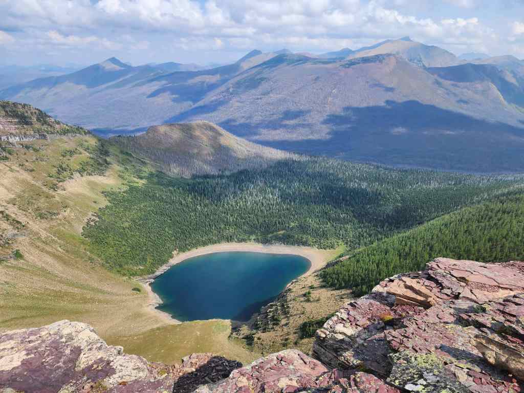
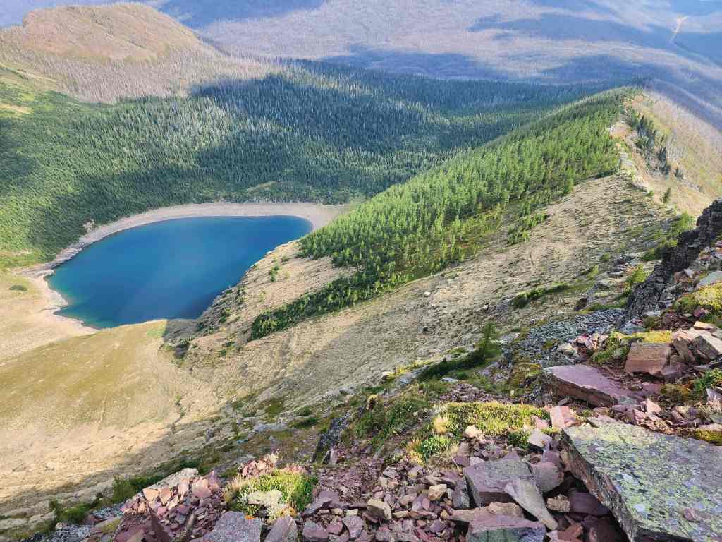
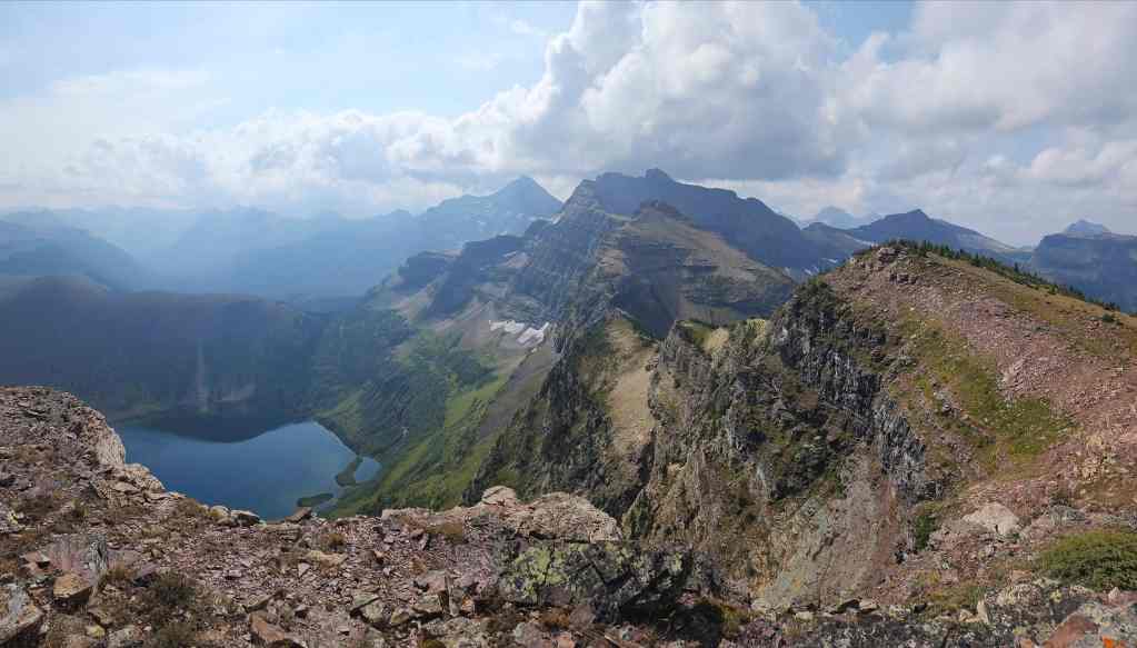
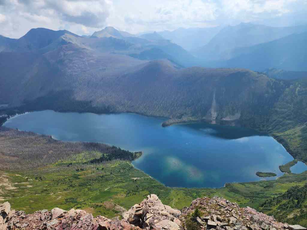
Taking in the great view of Forum Lake.
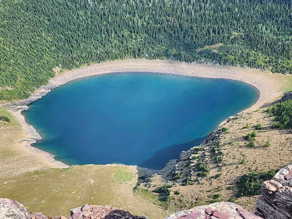
Forum Lake is really pretty, though you can see how low it is at this time of the year.
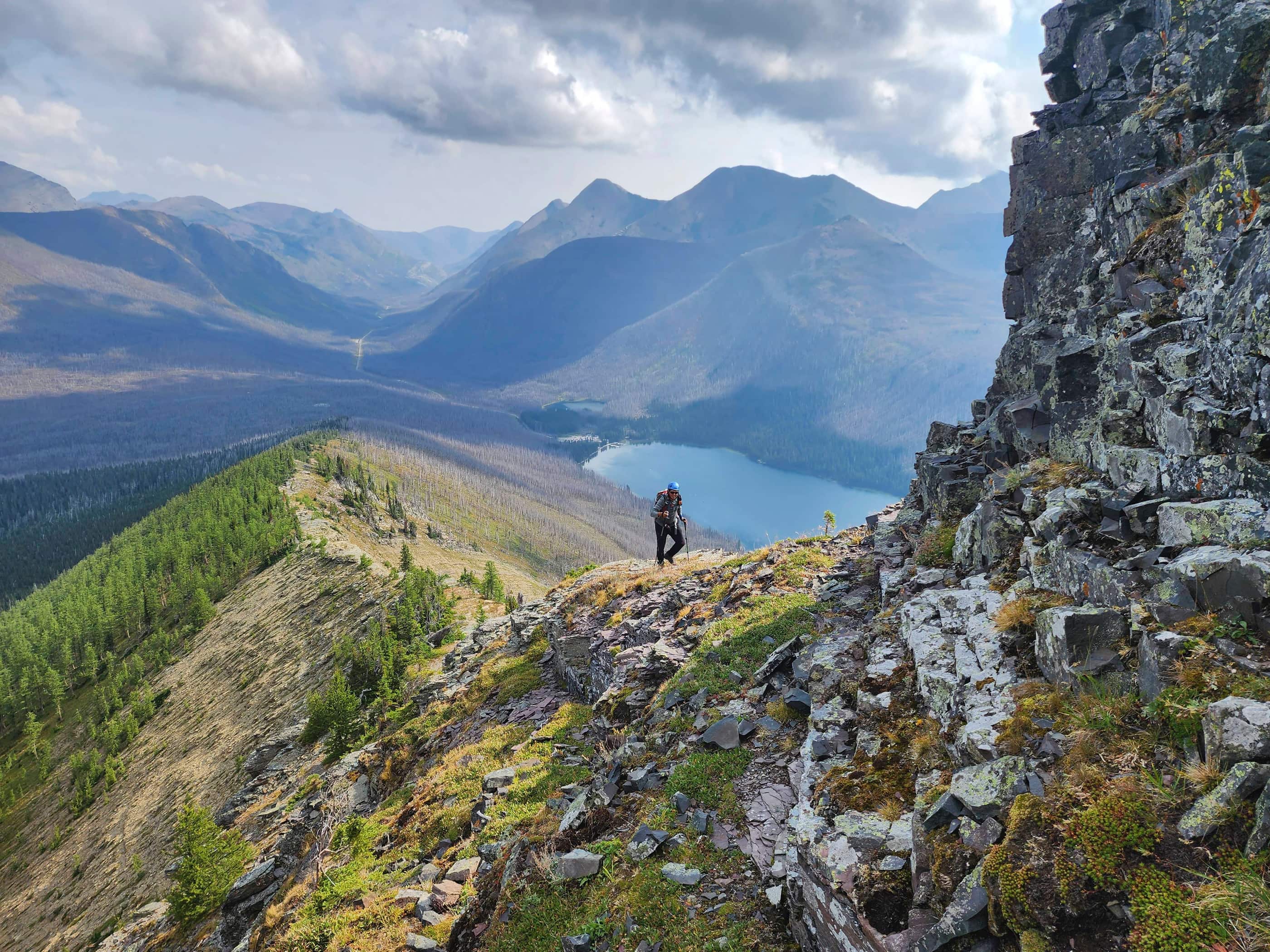
Let’s play, ‘Where’s Andy?’ 😂 Hint: look in the centre and then to the right.
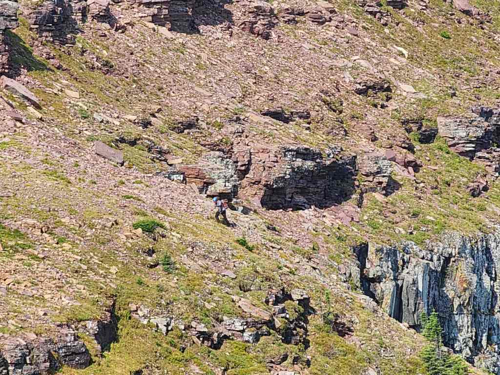
There he is!
Reunited at the col.
Pausing for one more look at Forum Lake before we head to Akamina Ridge.
And here’s the view from the previous photo.
Click to follow us to Akamina Ridge – or don’t and regret that decision for the rest of your life. 😂


Leave a Reply