⚠️ Hiking and scrambling are inherently dangerous activities. Please read my Disclaimer. ⚠️
It was a year ago, almost to the day, that Andy and I ascended Leach Ridge near Corbin, BC. During that ascent, I made note of both Hosmer Ridge and Marten Ridge as potential trips; though at the time, I had assumed that the summit of Marten was the 2200 m high point that sat across from the summit of Hosmer Ridge (2240 m) at the southwest end of the trident-shaped massif.
For context, Marten Ridge comprises the eastern edge of the massif while Hosmer Ridge accounts for the westernmost side – sitting directly above the village of Hosmer, BC. A third, unnamed ridge that is connected to Hosmer, curls to the northeast so that it sits between Marten and Hosmer; creating two distinct valleys with all tines of the trident extending to the northeast from their connection point at the southwest end. The summit of Hosmer is located where the middle ridge joins, situating it at the head of both valleys and directly across from the high point at the southwest end of Marten Ridge.
So naturally, if the summit of Hosmer Ridge is the highest point on Hosmer Ridge, then the summit of Marten Ridge must be the highest point on Marten Ridge… right? Not so fast. 🤔 After looking on various maps, I was surprised to learn that the official summit is located ~3 km further to the northeast, on top of a distinct 2135 m peak – the second highest point on the ridge. Some maps seemingly place a marker at random for Marten, which results in ‘the summit’ lying at lower points than either of the two high points.
However, confirmation of the summit’s location came two weeks after our May 2024 Leach trip, when Devon Peterson not only repeated our ascent of Leach, but then went on to complete a loop of Marten Ridge and Hosmer Ridge. During this loop, he also identified the summit of Marten to be the same location.
Unfortunately, Devon’s trip report on Peakery did not include any details other than a track overlayed on a topo map. It did however, give us a rough starting point at the northeast end of Marten Ridge, and we more or less ended up following in his footsteps; though this was after trying in vain to locate a fake fire road highlighted by Google Earth that supposedly started 2 km from the start of the Wheeler Creek Road.
This is the cautionary tale when using Google Earth for backcountry adventures. I had the layers set to identify everything and the map not only fabricated an imaginary road, but it also mislabelled that road along with the Wheeler Creek Road. Trying to find a ghost road at the start of the day was frustrating, but in the end, we discovered another section of road that inadvertently put us onto Devon’s route up Marten; though this was not at all clear from his overlay on Peakery. I guess great minds think alike after all! 🙂
Why is it called Marten Ridge? That requires further research because at this point, I haven’t been able to find any information. My only speculation is that it refers to the American Marten which is a weasel that has widespread distribution throughout the Rockies. So, if anyone knows the origin of the name, please let me know.
Finally, a huge thanks to Andy for allowing me to convince him into summiting yet another obscure peak. Though we had talked about using Devon’s loop, once we gained elevation and encountered unconsolidated snow, we knew that it would require a huge effort to continue along the ridge. Indeed, the snow only seemed to firm up as we neared ~2040 m in elevation. So, we’ll have to return for Hosmer Ridge another time and with a different route. In fact, in further exploration of the area in my truck, we discovered that you can follow the myriad of logging roads quite far and when they aren’t blocked with snow, there could be a better way to get to Hosmer – and possibly even Marten. 🤔
Oh, I should also give a shoutout to the massive grizzly who earlier in the day, had done a bunch of post-holing along the road near the summit of Marten. Though he was headed down and we were headed up – thankfully a few hours apart – we could take advantage of his efforts which made things much easier. Thanks Mr. Grizz and I’m glad we never met! 😂
Be sure to read Andrew’s excellent trip report! [link coming]

To get to Marten Ridge, we drove west on Highway 3 from the Crowsnest Pass until we came to the Corbin Road turnoff. We then turned onto Corbin Road and drove for another ~8.2 km until we came to a gated road on our right. This road is marked with signs from Teck Coal indicating that we were entering private property; however, it’s also clear that the public is allowed to use the road if we do so at our own risk; provided we avoid any areas marked as closed.
After turning onto the gated road, we followed it for ~800 m until we came to its junction with the Wheeler Creek Road on our right. We then turned onto Wheeler Creek Road and followed it for another ~2.8 km until we came to the point where an old logging road joins the main road. A few metres before the logging road is a large pullout on the right, and this is where we parked.
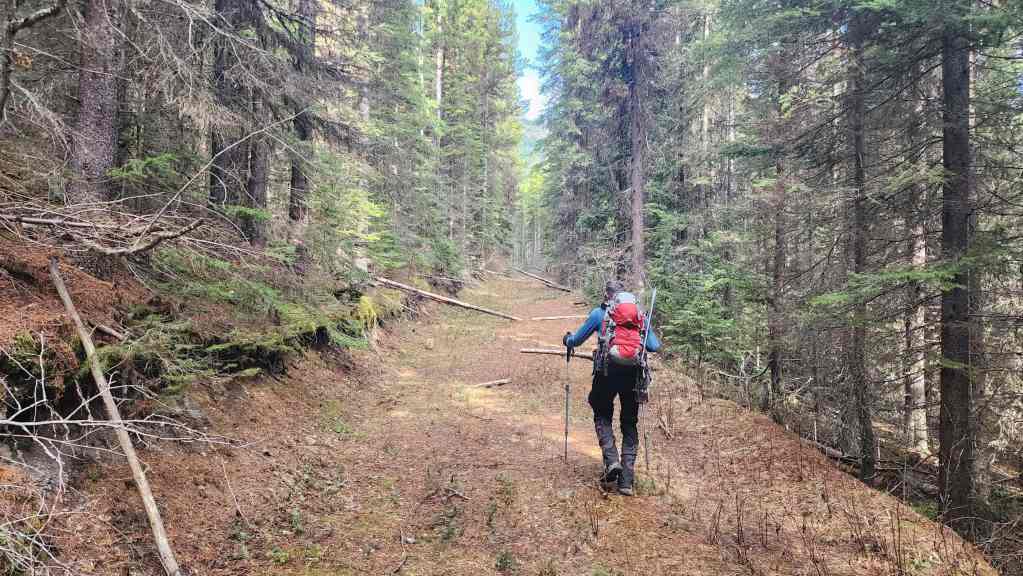
From the start of the logging road, we hiked for ~1 km until the road came to an abrupt and overgrown end. We noticed that a small trail continued through the overgrowth, so we followed it for a further ~145 m or so, until we came to an obvious clearing on our left. Concluding that this looked to be the best place to begin our ascent since starting along the road, we proceeded to head up the slope.
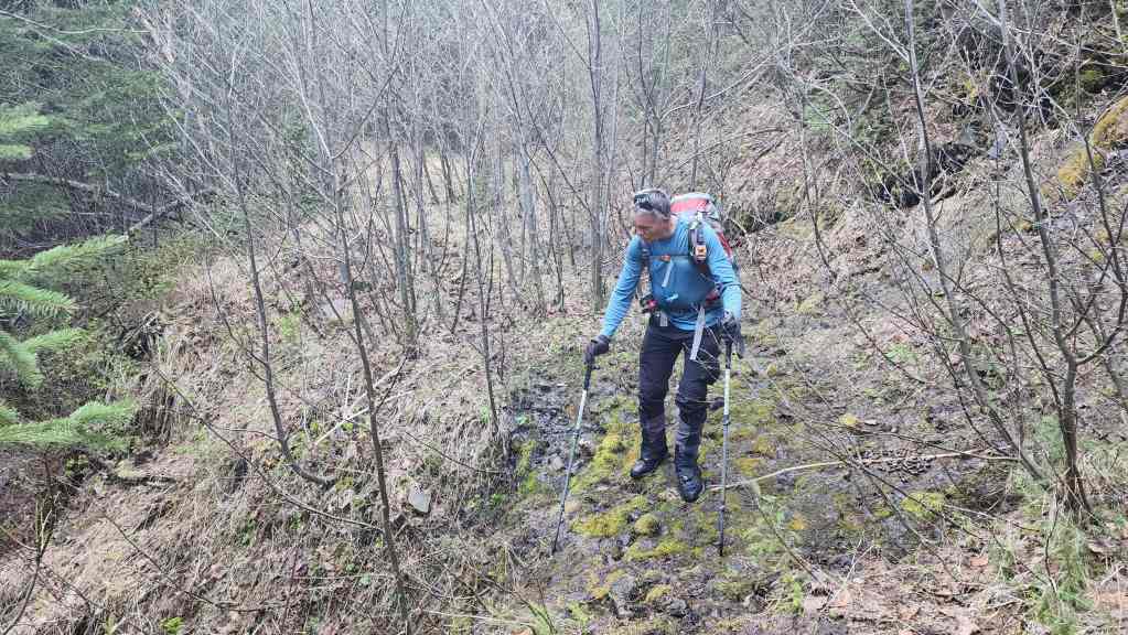
Making our way up, we encountered only light bushwhacking; though this might be different when the alders have leaves. Moreover, unlike what we could see on our approach along the road, there was little to no deadfall.
The first ~550 m our ascent was fairly steep (248 m elevation gain) until we reached the ridge crest. From here, travel became easier as the grade eased and the ridge became more open. We encountered a couple short but steep sections before reaching the remnants of a very old logging road ~1.1 km (325 m elevation gain) from where we began our ascent at the clearing.
We didn’t know it at the time, but had we fought our way westward through the undergrowth for ~160 m, the old road would have led us onto an amazing road that we could easily follow for ~1 km to the base of the summit. However, by simply staying the course and following the ridge crest, we eventually came to the amazing road anyway, joining it ~270 m closer to the summit then where the old road connected with it. Therefore, given the bushwhacking on the old road, I’m not sure that following it to the amazing road is the better option.
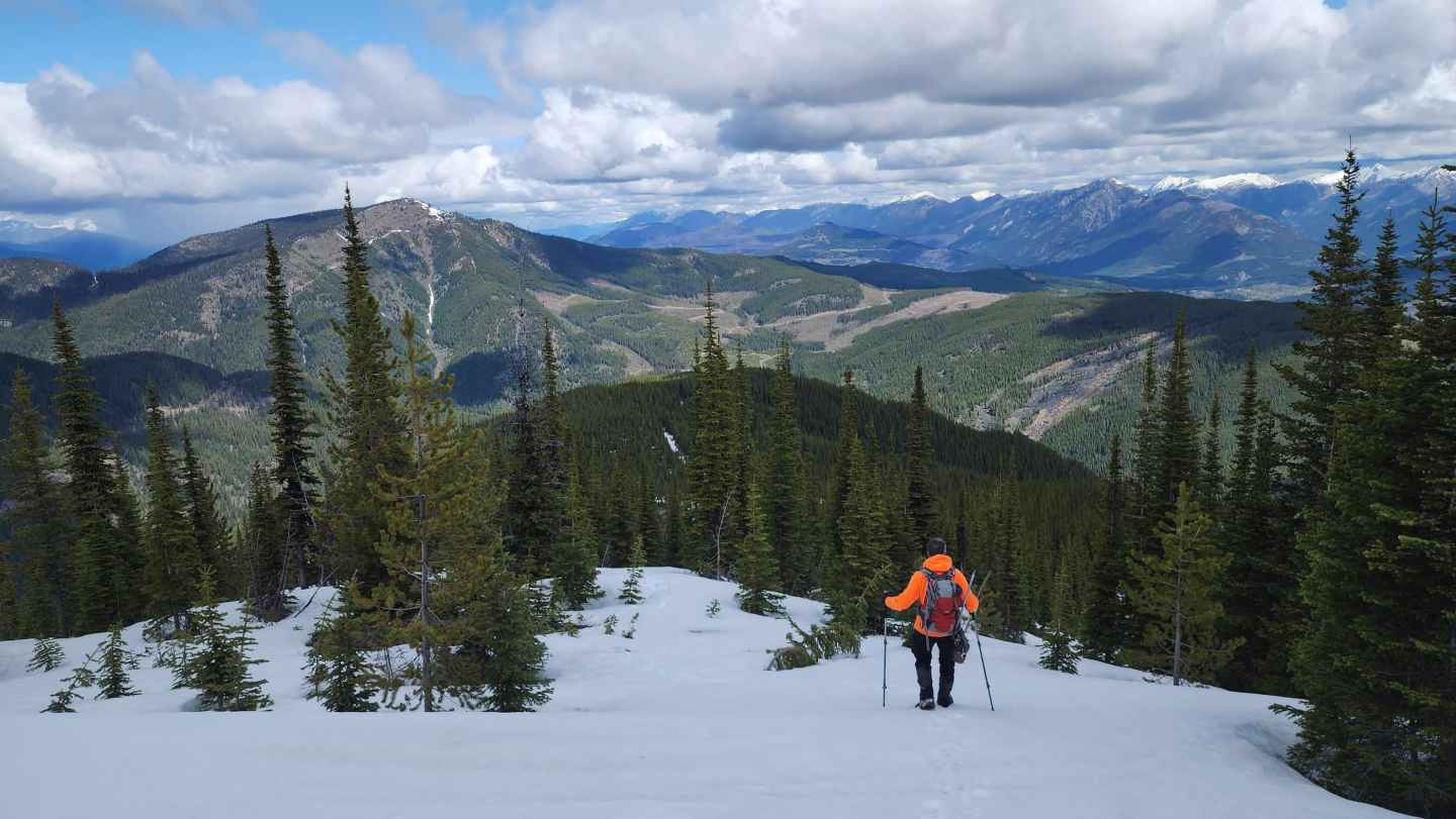
The amazing road led us directly to the base of the summit. However, deep and unconsolidated snow prevented us from taking the obvious route up the ridge. Instead, we followed the road a short distance to the east side of the summit, where the snow had melted in a patchwork fashion. Here, we left the road and utilized the patches of dry ground to make our way onto the summit ridge, emerging around the 2020 m elevation mark. At this point, the snow was considerably firmer, and as we gained elevation beyond 2040 m, the snow became firm enough to walk on.
Arriving on the summit, we found an old iron pole, marker wood, and an iron survey pin. This confirmed to us that we were on the official summit of Marten Ridge. For reference, from the start of our hike at Wheeler Creek Road to the summit, it was a ~4.4 km (679 m elevation gain) hike over a time of 2 hours and 42 minutes. Had we not encountered snow, that time would have been shortened.
After enjoying lunch and some decent views, we decided that continuing further along Marten Ridge would be futile given the overall poor condition of the snow. Instead, we returned the way we came, except we followed the amazing road to a switchback where it joined with the overgrown old logging road. From here we followed the old road back to where we first encountered it, and from there, retraced our route back to my truck.

Our total roundtrip time was 5 hours and 5 minutes over a total distance of 9.3 km. Total elevation gains came in at 727 m.

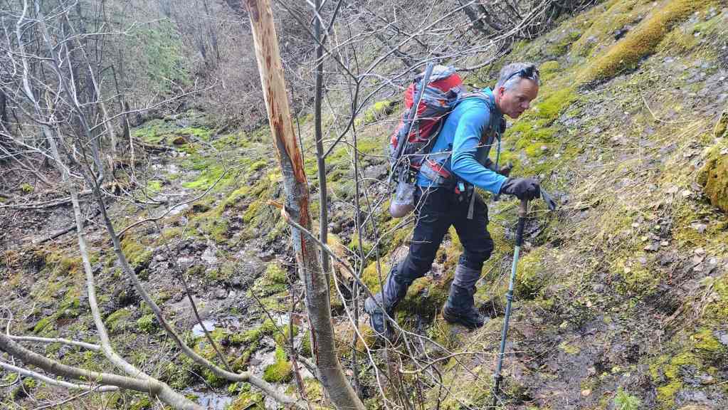
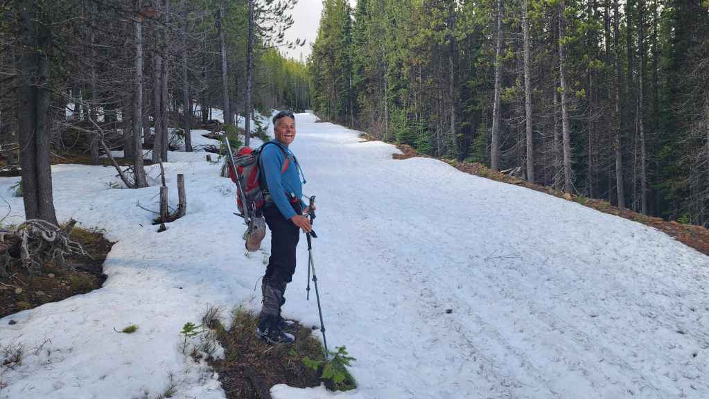
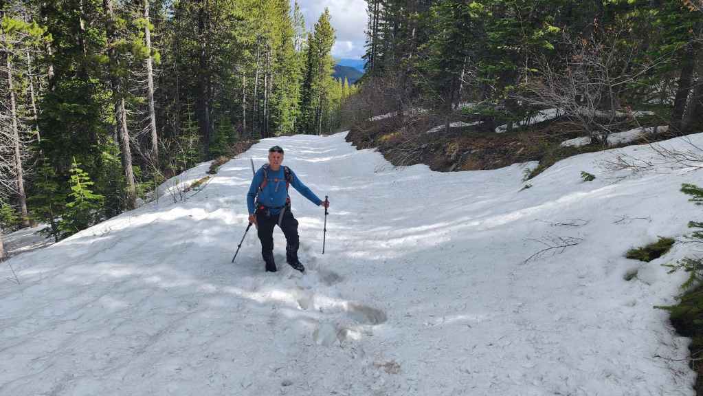
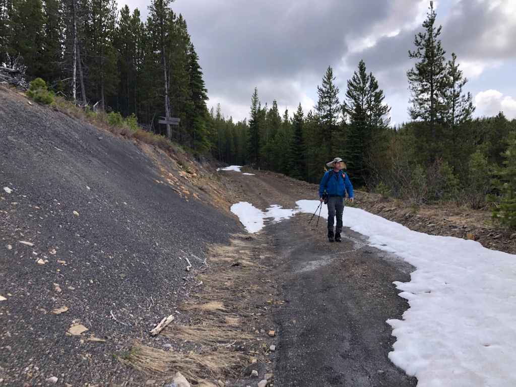
Gearing up on Wheeler Creek Road with the summit of Sparwood Ridge in the background. The old logging road that we’ll start on, is in the trees directly behind Andy.

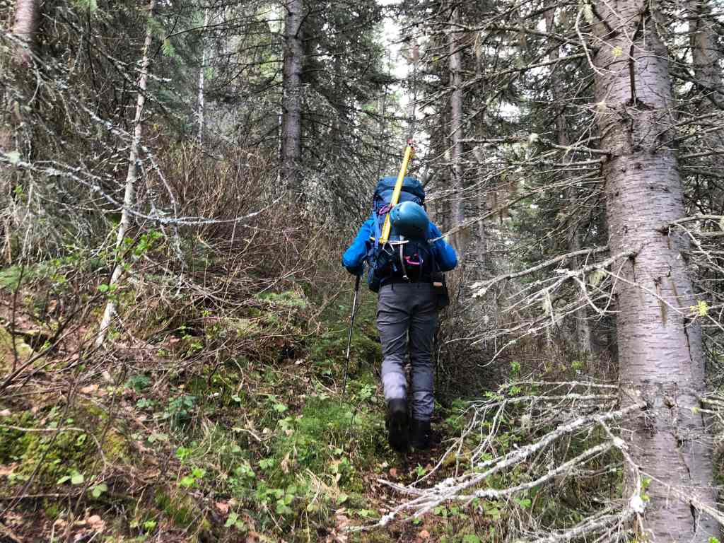
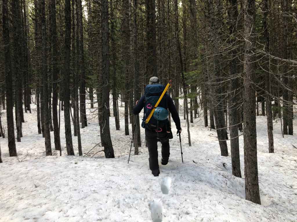
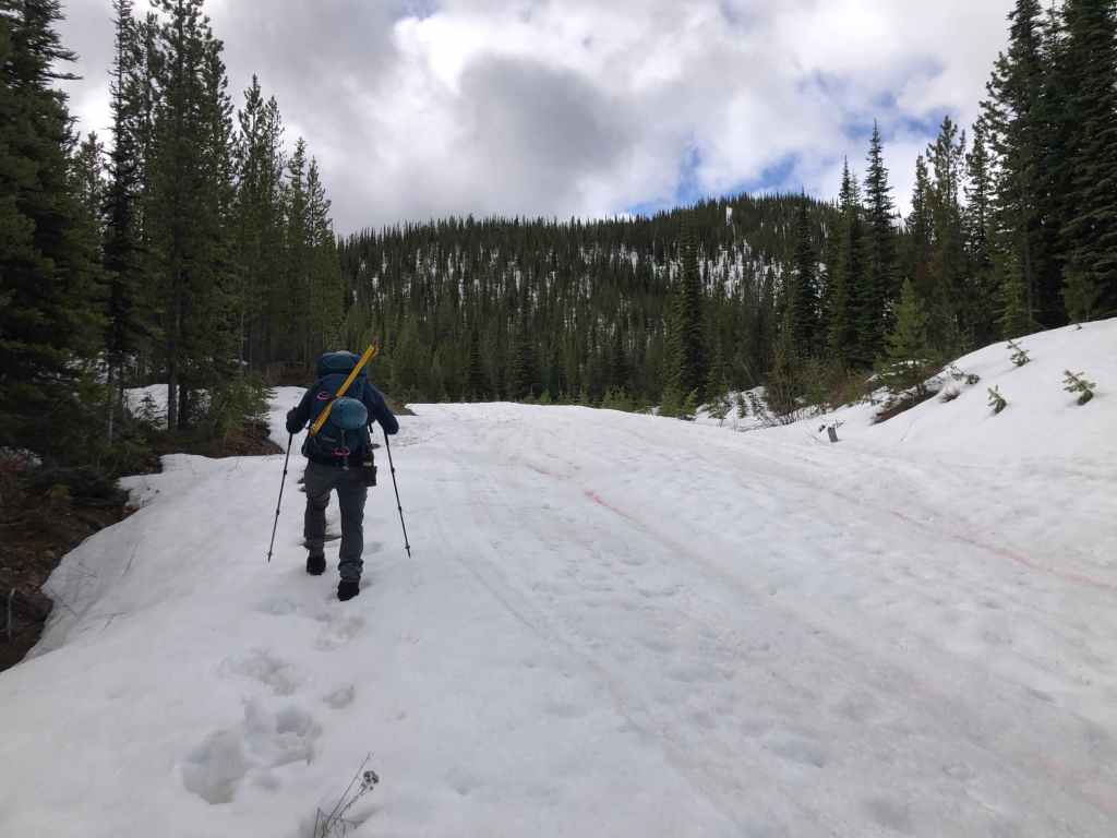
Andy leads the way as we head up the old road.
We foolishly hoped that the road would curl around the mountain; leading us to other roads that would take us to the top. Boy were we wrong! 😂 We also could not see an inviting place to begin our ascent.

A small stream paints a brilliant ribbon of green.

The old road abruptly ends ~1 km from where it connects with Wheeler Creek Road.
However, we were able to follow a small trail through the overgrowth.
Still following the trail.
The trail began to curl around the north side of the mountain. (Photo by Andrew Nugara)
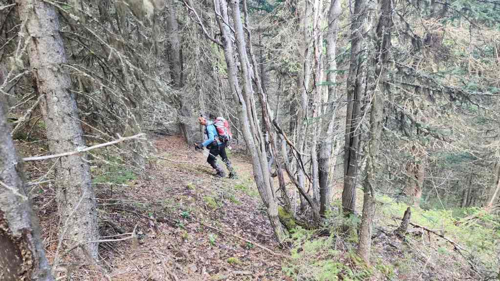
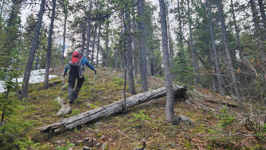
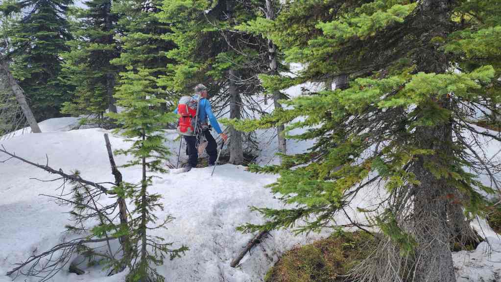
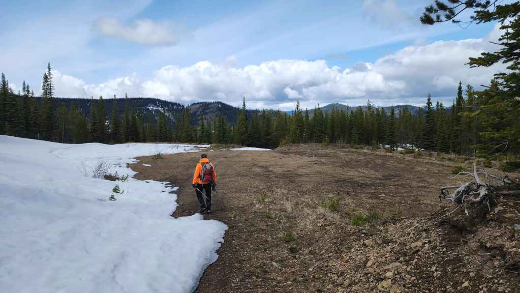
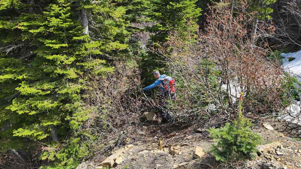
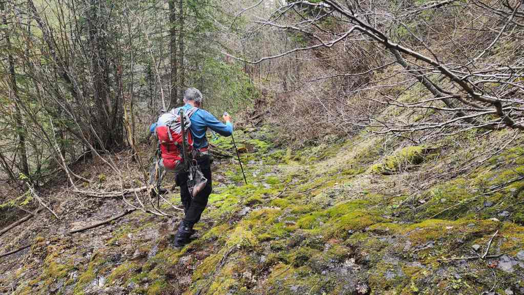
After following the trail for ~140 m, we came to a small clearing to climber’s left. This opening presented the best option for ascent that we’d seen so far, so we made the decision to leave the trail.
Andy leads the way. Outside of some light bushwhacking through through the alders in the centre, most of our route onto the ridge was clear. The only deadfall we encountered was small and easily avoidable.

Passing beside a small stream.
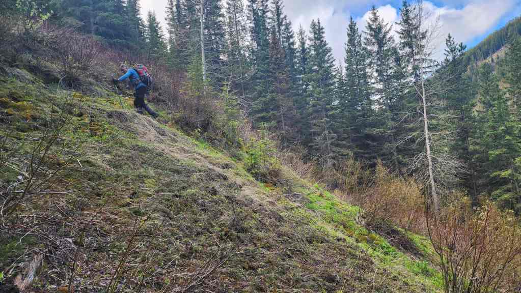
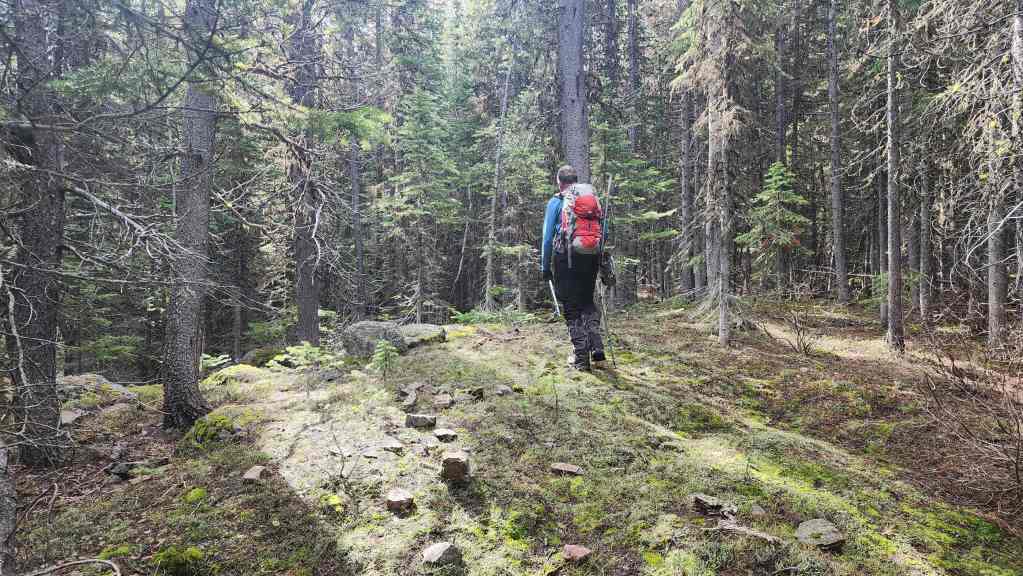
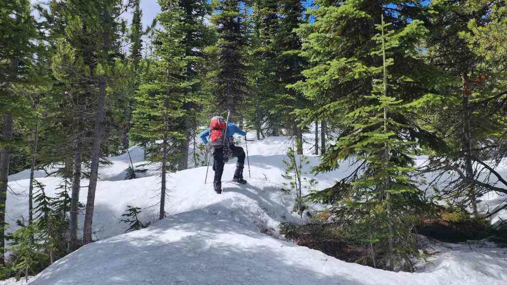
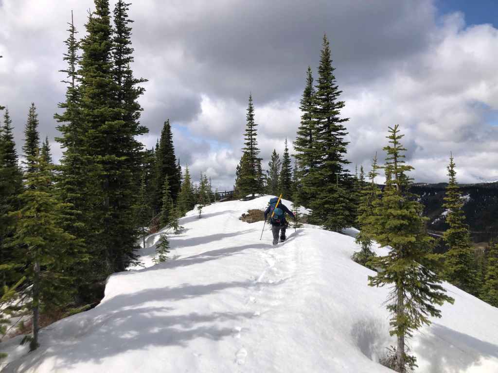
The first ~550 m of our route onto the ridge crest was fairly steep (248 m elevation gain).

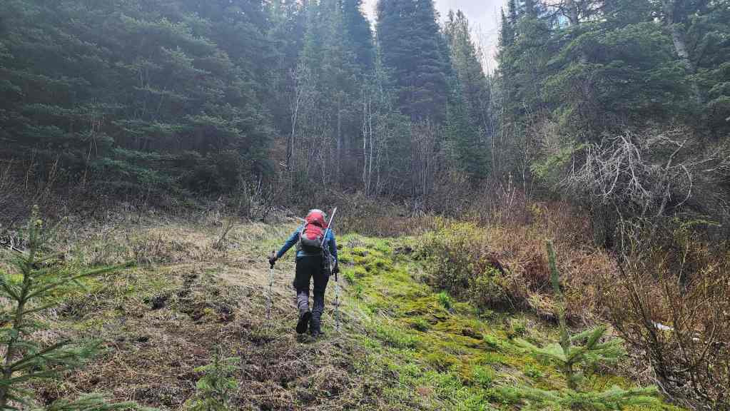
Other than the grade, the route was easy.

The grade eases as we near the crest.
On the ridge crest…
And enjoying some easy hiking. (Photo by Andrew Nugara)
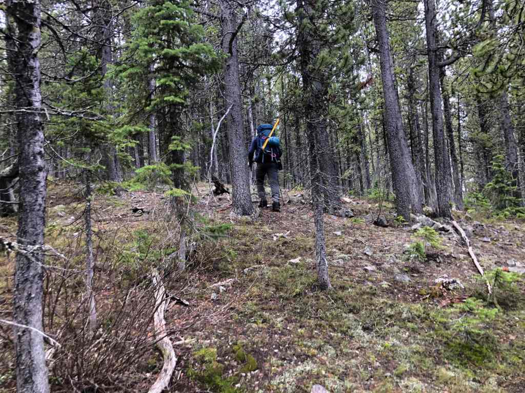
Pausing for a quick look back.
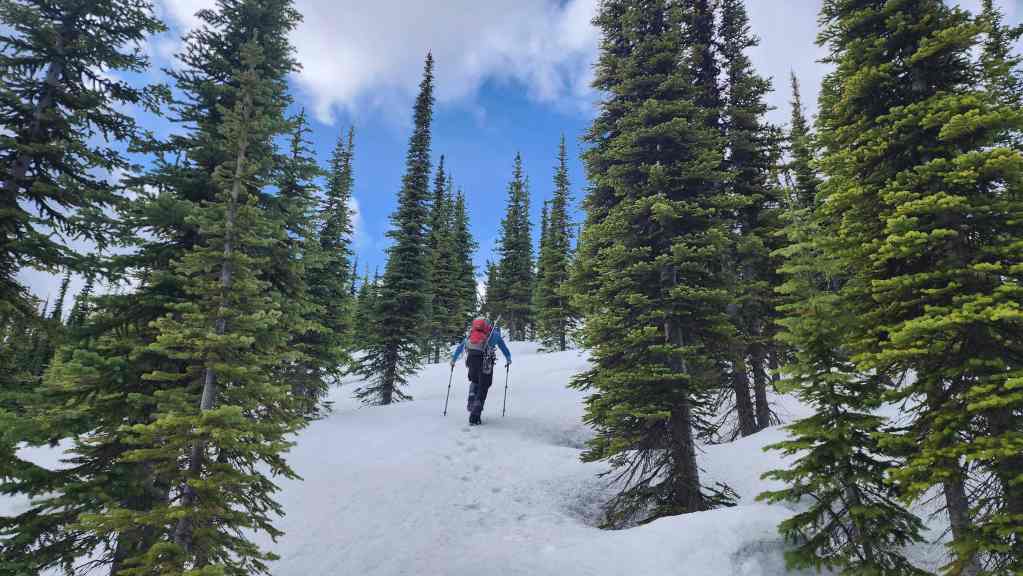
Sections of the forest canopy are quite open.
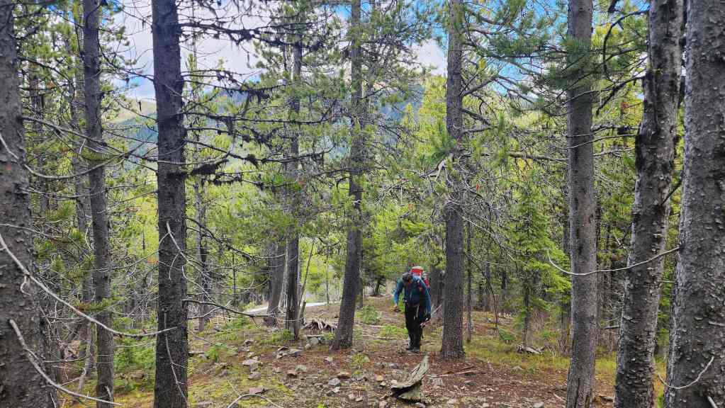
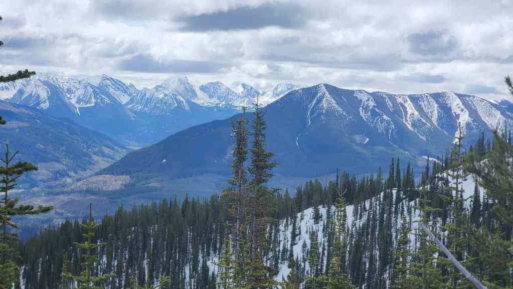
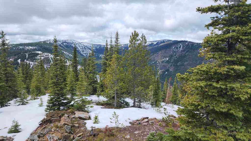
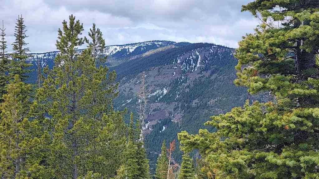
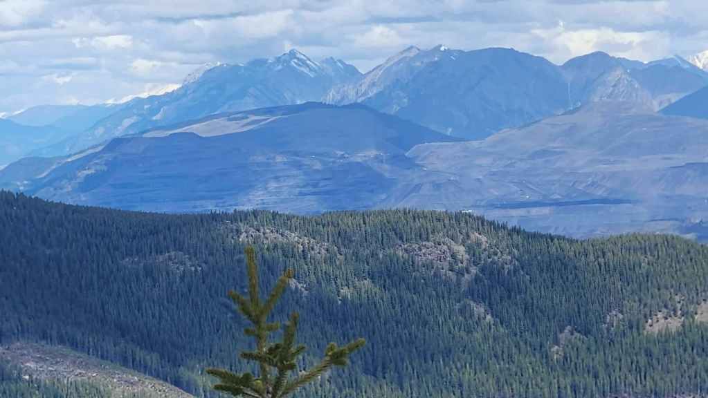
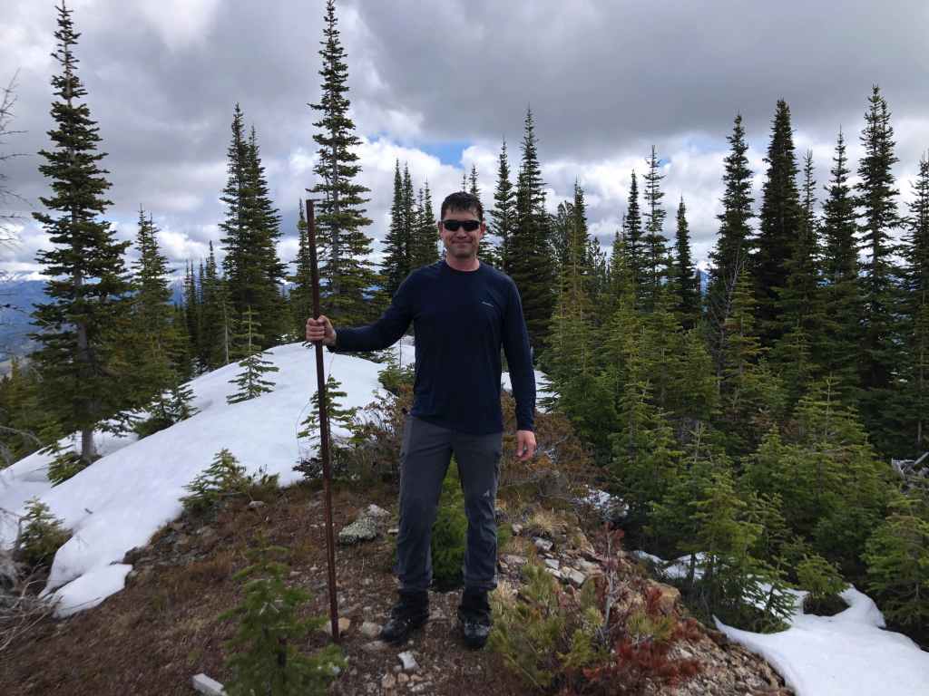
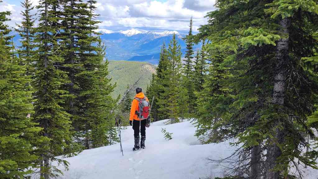
The summit of Sparwood Ridge provides our first good view of the day.

Descending to a small col before heading up a section of steep terrain.
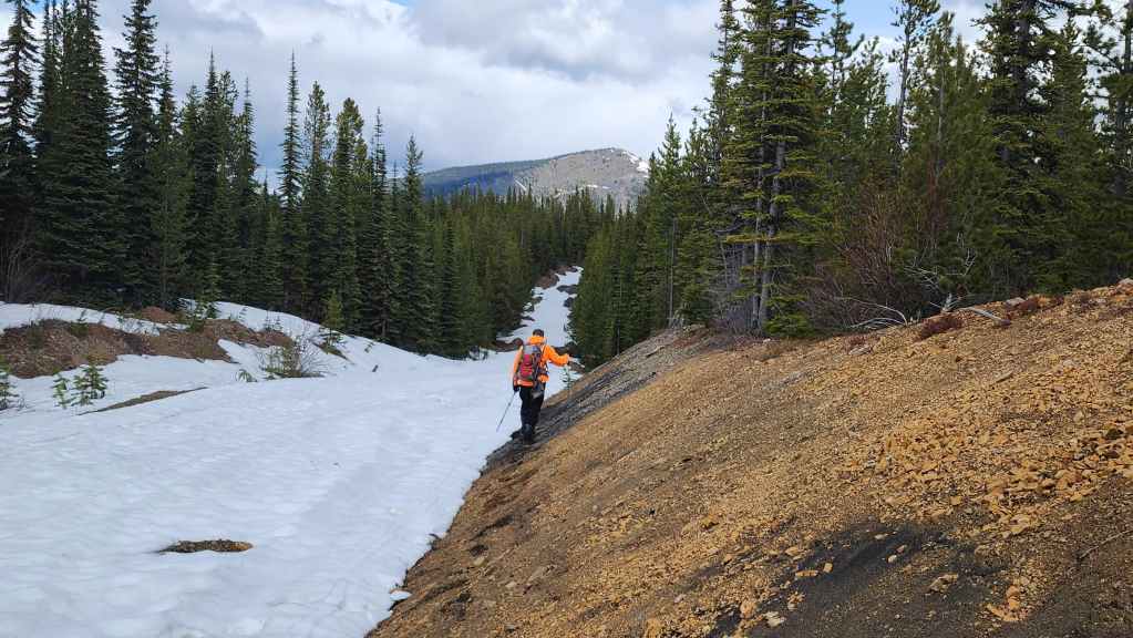
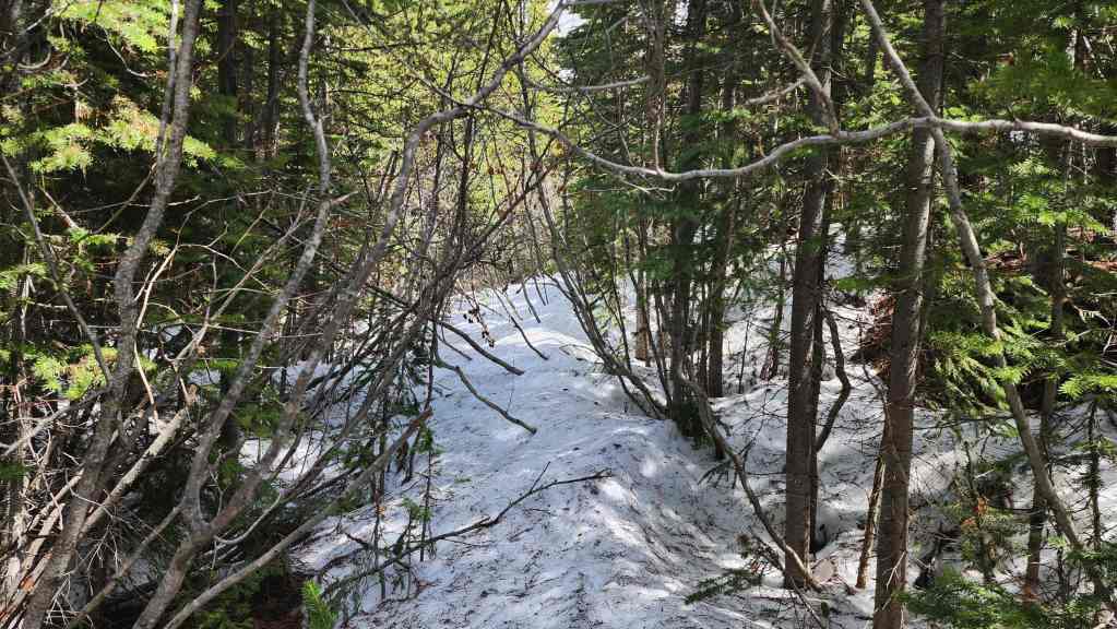
As we neared the top of the previous photo’s section of steep terrain, we came across a very old logging road – along with an abrupt coverage of snow. We didn’t know it at the time, but had we fought our way westward (climber’s right) through the undergrowth for ~160 m, the old road would have led us onto an amazing road that we could have easily followed for ~1 km to the base of the summit.
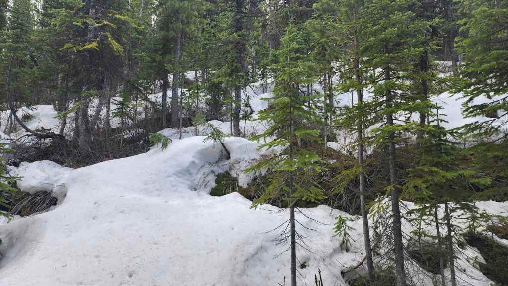
However, not knowing where the old road led, we chose to continue along the ridge and through the snow. Fortunately, the post-holing wasn’t as bad as it looked to be and the terrain soon levelled out.
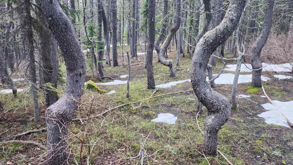
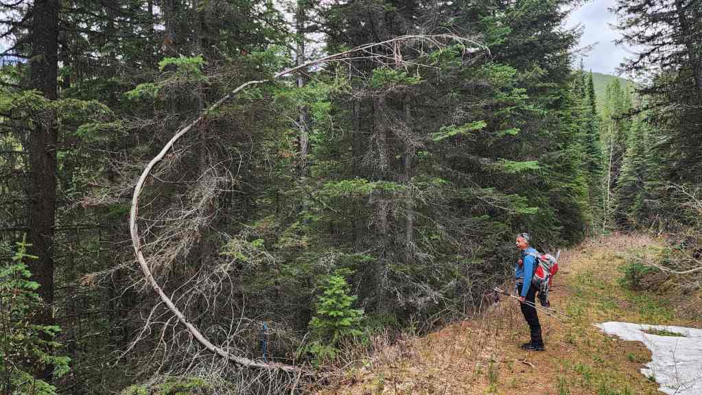
A cluster of oddly-shaped trees. As they all looked to be bent in the same place and appeared to be roughly the same age, I wonder if it was disease, pestilence, or an environmental factor that caused this?

Or perhaps a hiker with a heavy pack leaned against them? 😂 (Photo by Andrew Nugara)
Continuing along the ridge crest. (Photo by Andrew Nugara)
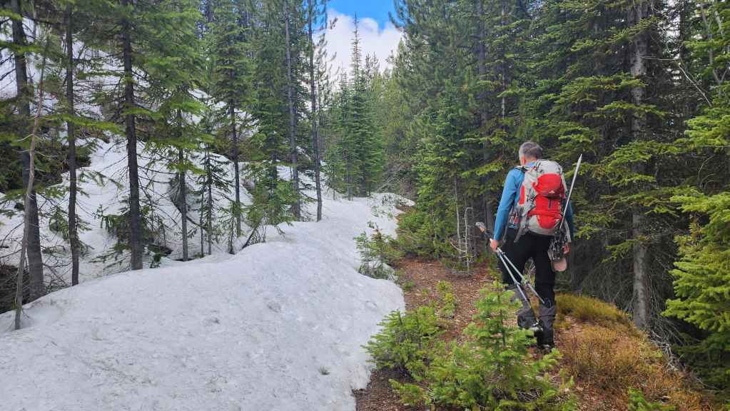
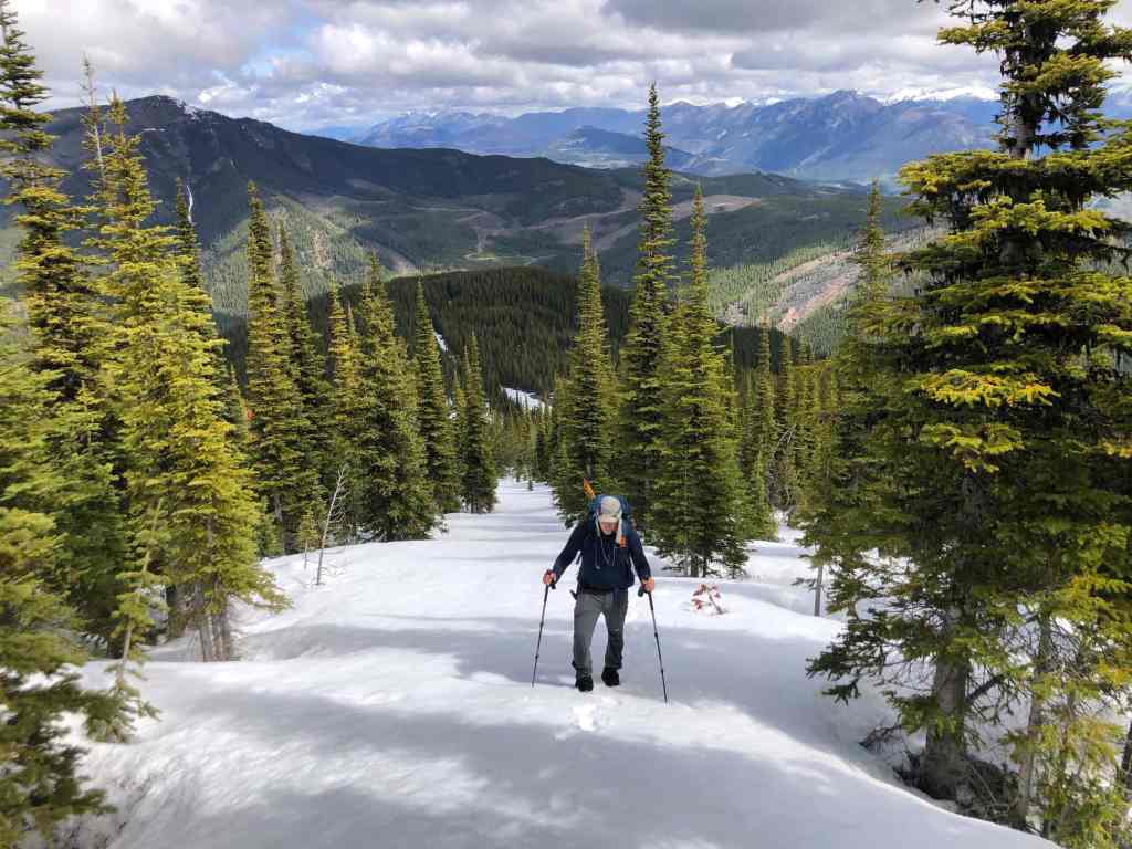
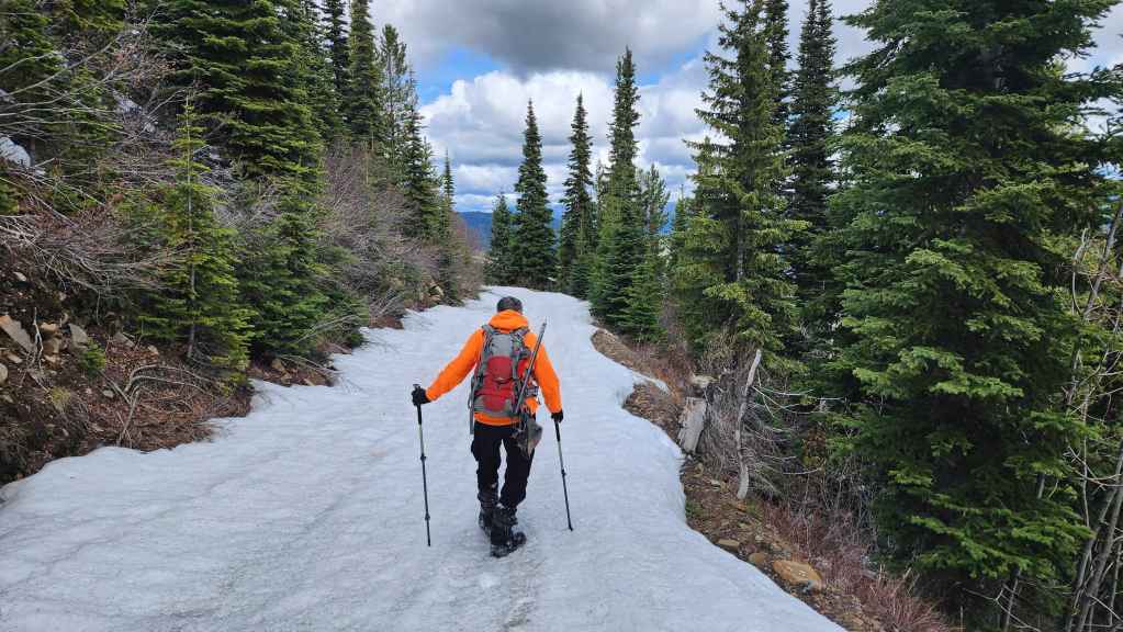
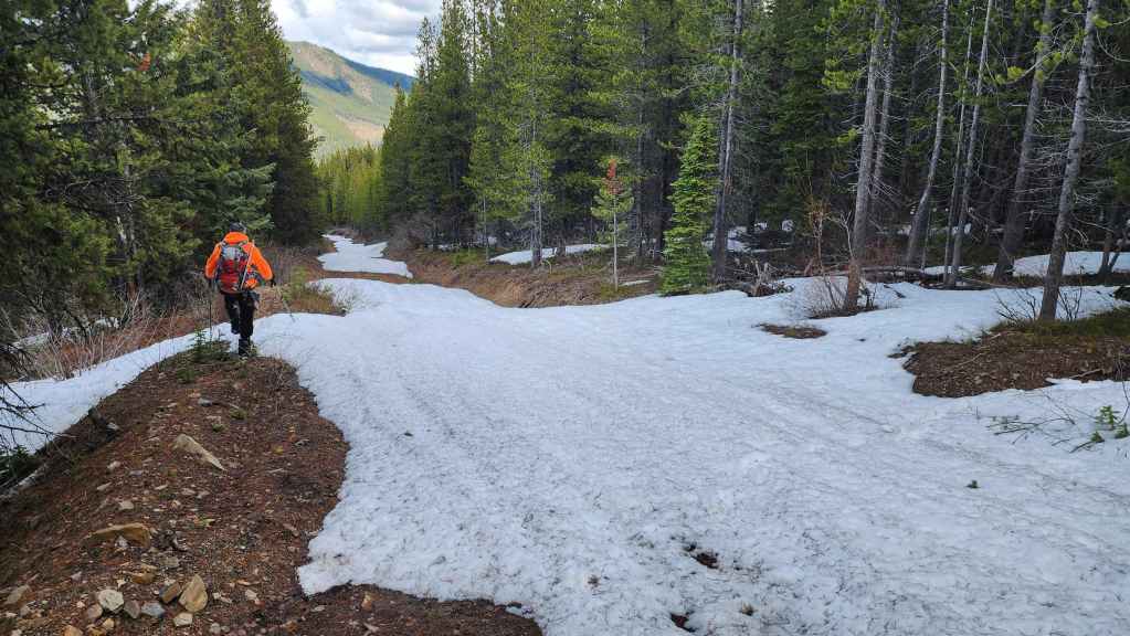
Arriving at the amazing road that will take us to the base of the summit. This is the same road that the old logging road would have led us to. Either way, we still ended up in the same place.
Looking down the road and toward Sparwood Ridge.

The deep snow covering the road would have sucked to post-hole. However, a large and thoughtful grizzly had descended the road earlier in the day, and all we had to do, was follow his steps in reverse. Thanks Mr. Grizz and I’m glad we never had the chance to meet! 😂
Following the grizzly’s tracks as we make our way along the road.
The summit finally comes into view; though as we’d discover, the view from the road is quite foreshortened. (Photo by Andrew Nugara)
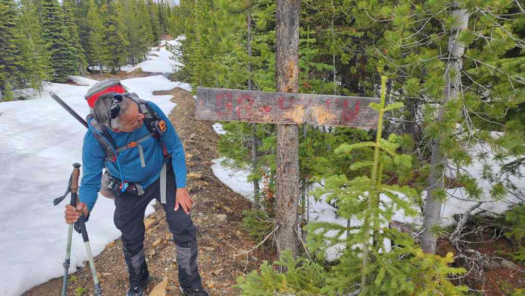
Andy tries to decipher what remains of an old sign. Hmmm… perhaps, ‘Beware Of Grizzly’? 😂

This is how we knew the grizzly tracks were recent: a fresh – and massive – pile of scat.

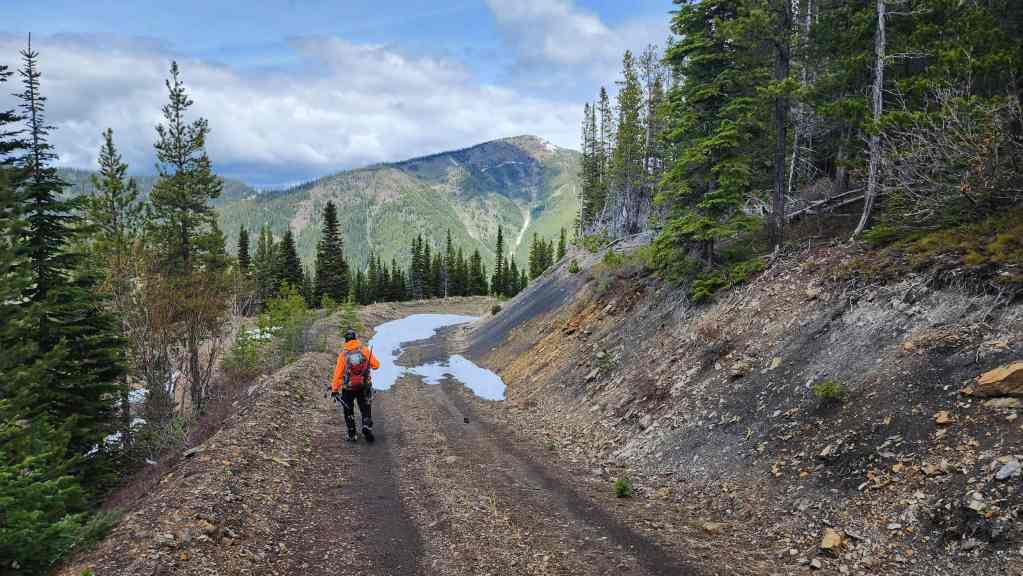
Another look along the road as we continue to follow the bear’s tracks. Even the grizzly avoided the snow when he could.

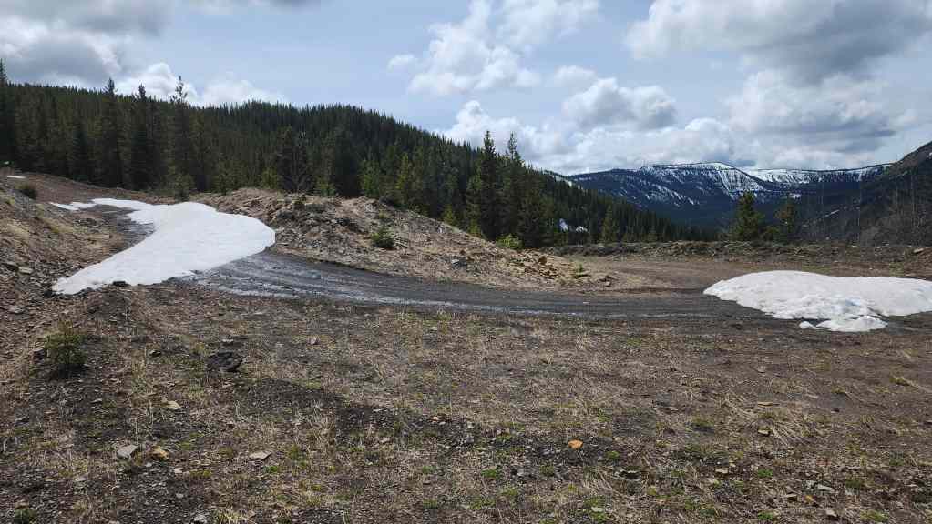
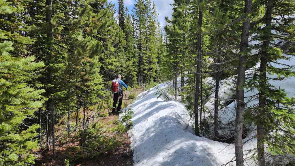
Arriving in a large clearing at the base of the summit where the road forks. If the snow was in good condition, this is where we would have left the road to hike to the top. However, it was soft and deep, so we gambled that the east side of the summit would have less snow due to its increased exposure to the sun. To get there, we’ll take the right fork in the road. (Photo by Andrew Nugara)

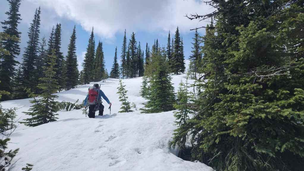
Beginning to circle the summit.
Now on the east side of the summit and we were right: the snow has melted enough to leave navigable patches. We will ascend the bank on the left side of the photo.

So far so good…

Almost on the ridge.
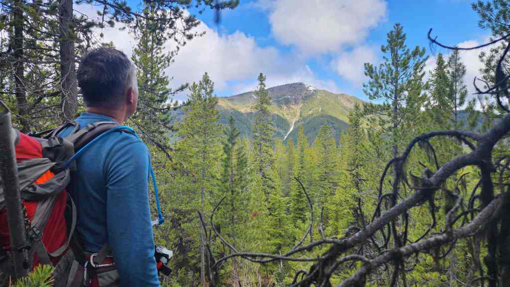
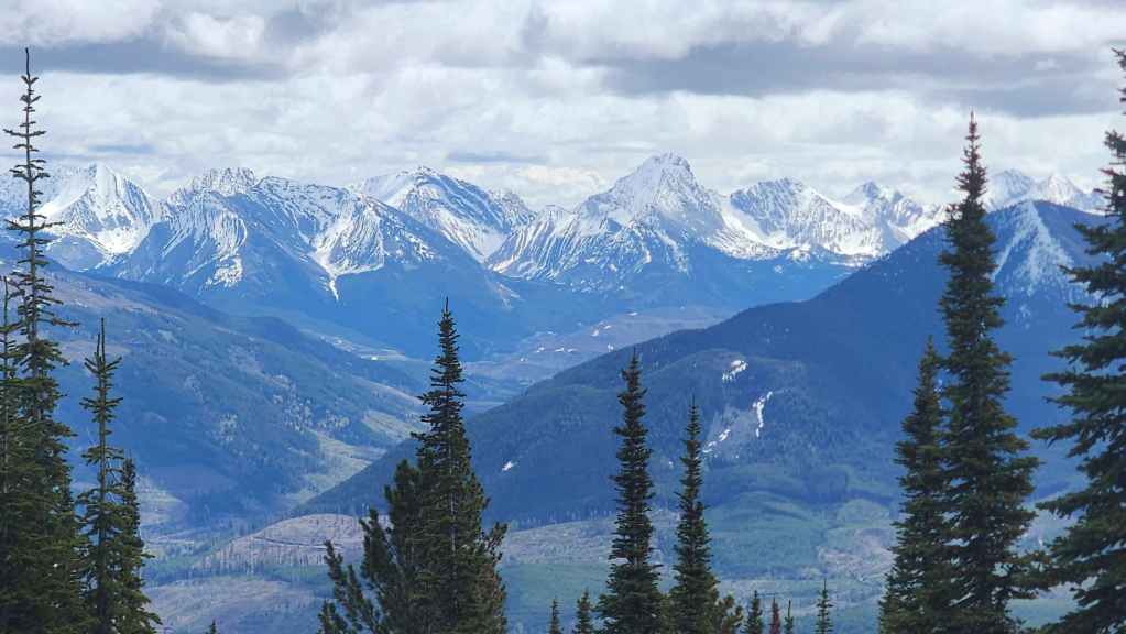
As we went higher, the views began to emerge and we now had a good line toward, Mount Taylor and the Flatheads.
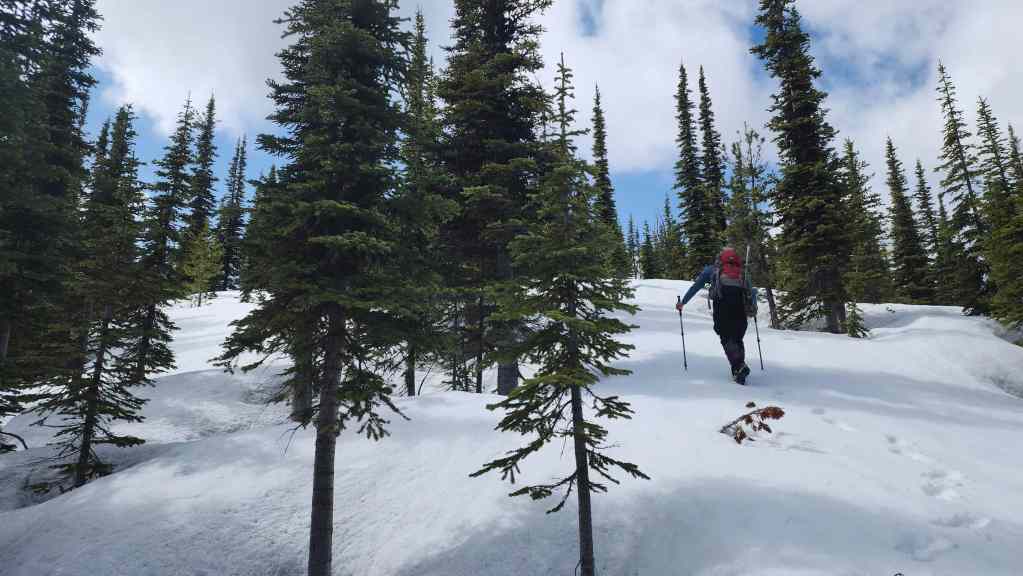
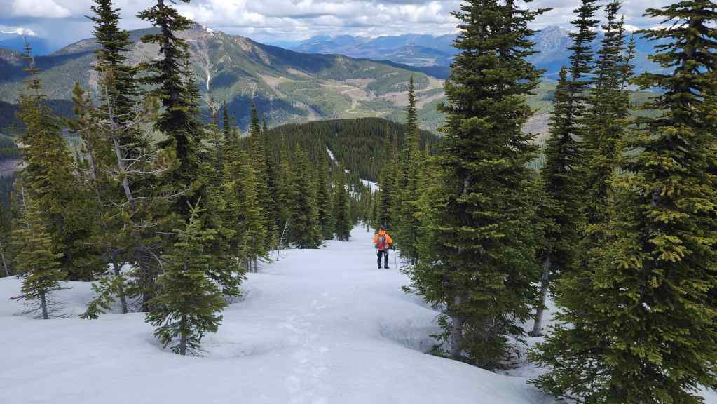
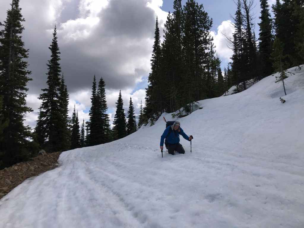
Now on the ridge and post-holing from tree well to tree well.
The snow consolidated as we gained elevation, allowing us to walk on top of it – well most of the time. 😂 This is what we were hoping for because otherwise, it would have been an awful slog through waist-deep snow.
Andy channels his inner Legolas as he glides over the snow.
Though we could now walk on the snow, we still had to tread lightly because we’d occasionally break through.
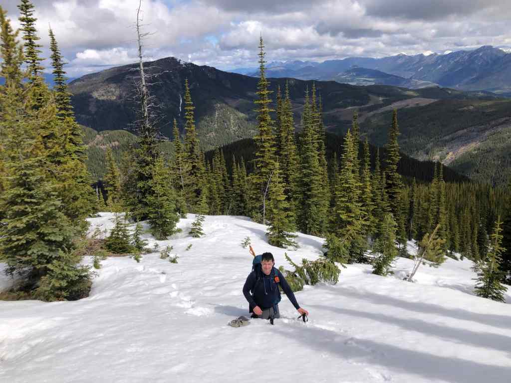
Andy’s view back as we near the summit. This is where we realized that the length and elevation gain from the road is more than it looked to be. (Photo by Andrew Nugara)
Oh no! If Legolas is post-holing, what will happen to the guy who bends trees by leaning on them? 🤔
He will sink up to his waist! 😂 (Photo by Andrew Nugara)
Arriving on the summit of Marten Ridge (2135 m). We are actually following a very old road. (Photo by Andrew Nugara)
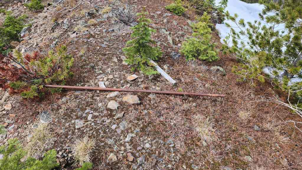
An iron pole and some survey wood mark the summit. The survey pin is hidden by the sapling in the centre.
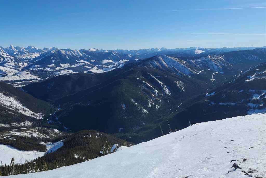
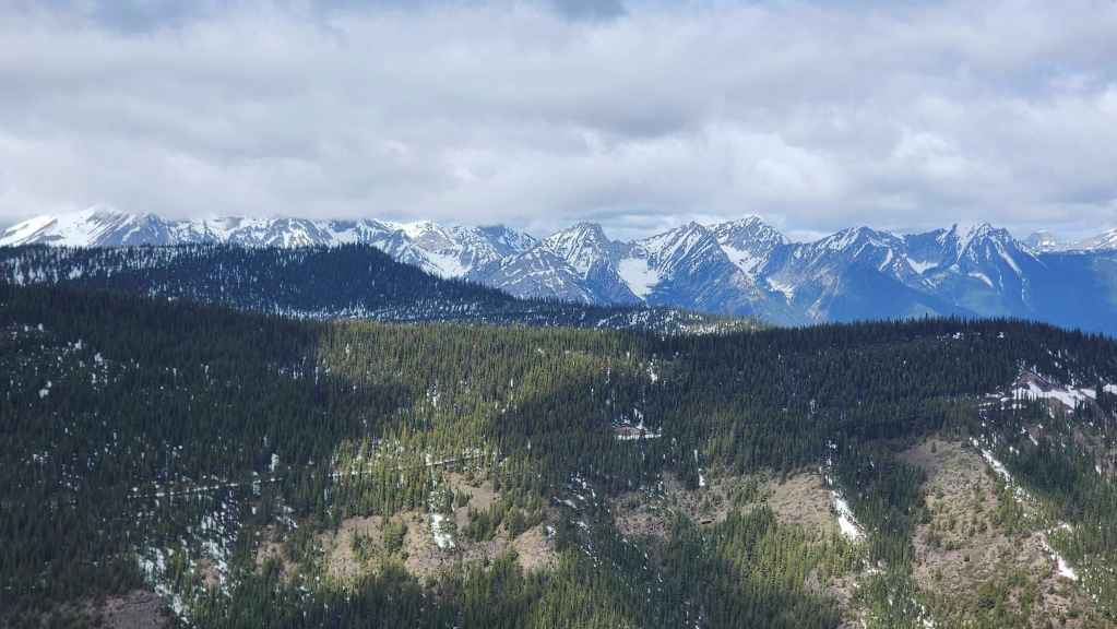
The view to the northeast…

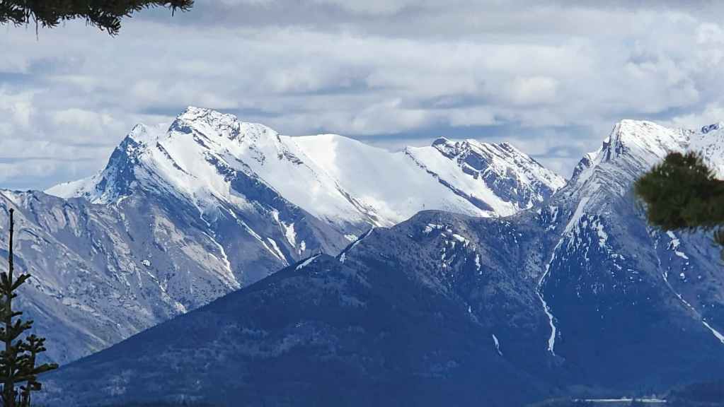
Followed by a pano to the northwest. (Photo by Andrew Nugara)

Now a pano to west northwest.
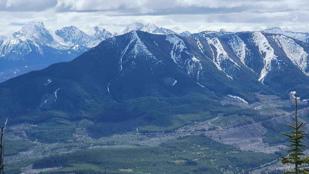
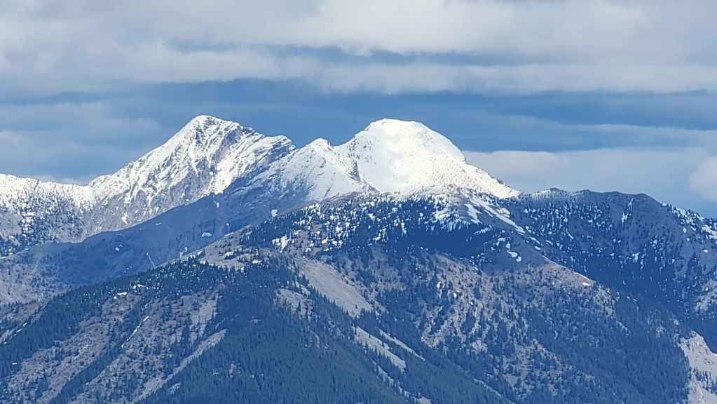
Zooming in on the previous photo to highlight Mount Hosmer on the far left.
The view to the southwest…
And then a slightly zoomed view to the east southeast.
Finally, another view to the northeast.
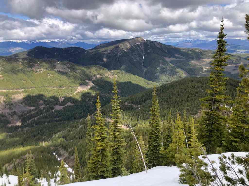
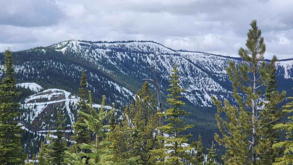
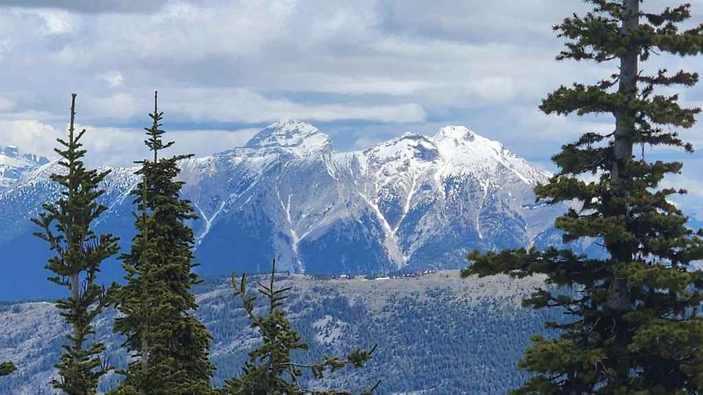
A closer look at the summit of Sparwood Ridge (right of centre). (Photo by Andrew Nugara)
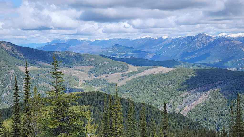
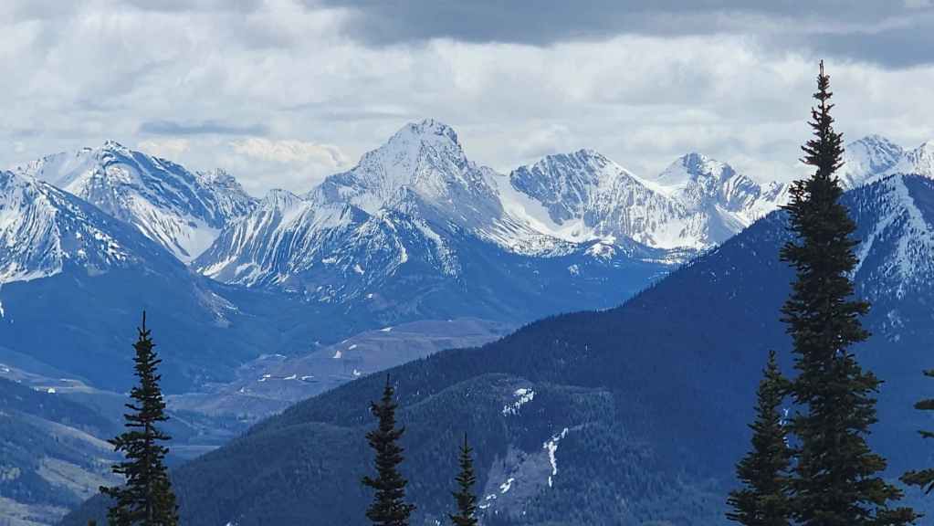
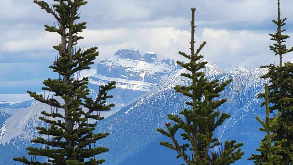
The summit of Hosmer Ridge (centre).
The high point at the southwest end of Marten Ridge.

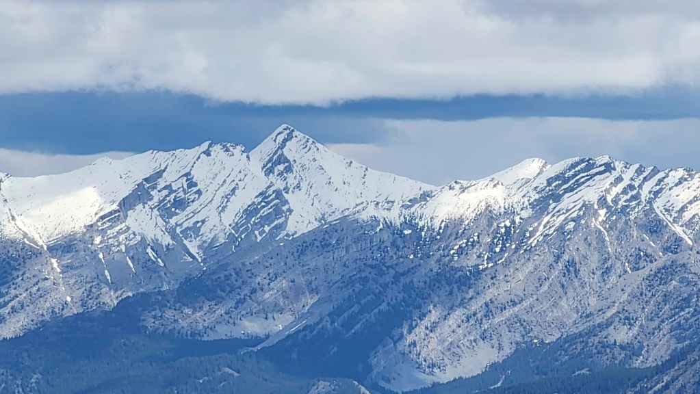
Zooming in on Leach Ridge where we were one year ago. The actual summit is on the far right.
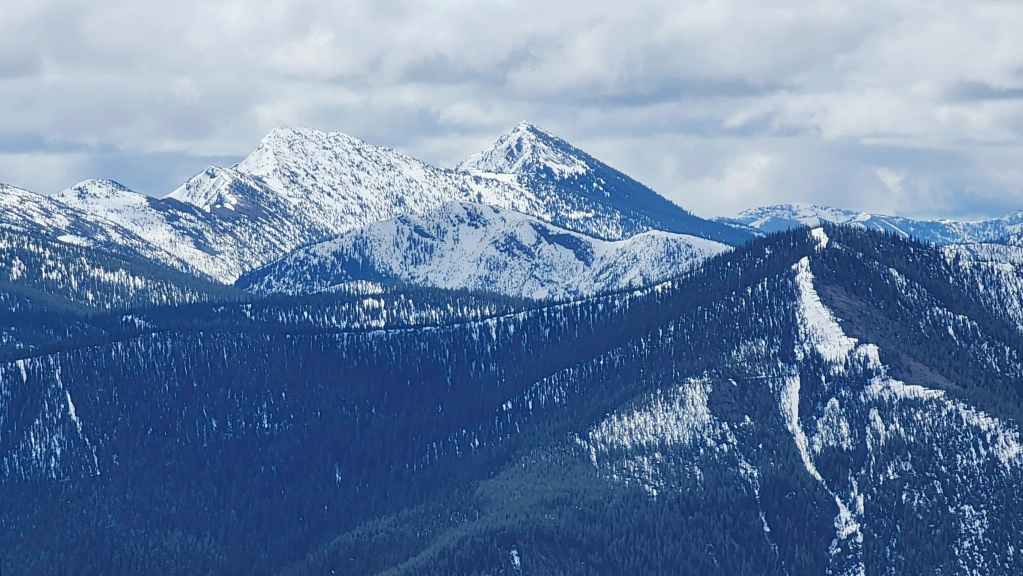
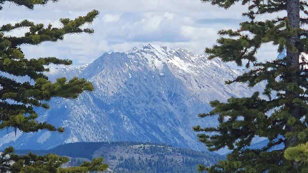
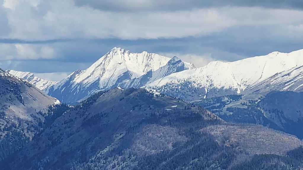
A closer look at Barnes Peak (centre).
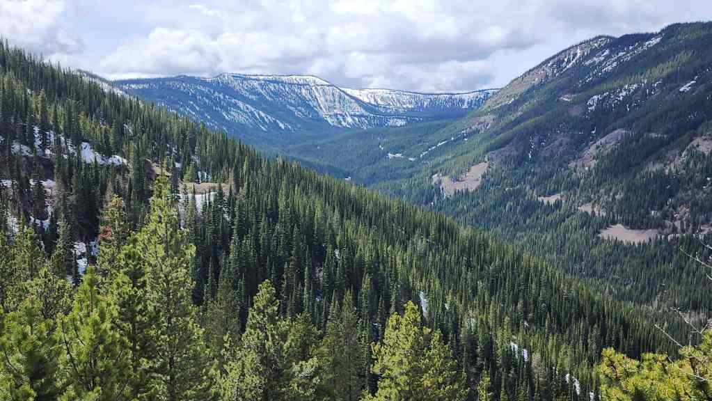
The view across to Mount Taylor (foreground centre).
I’d love to ascend Mount Darrah (centre) someday! Who knows, maybe 2025 is the year?

Ptolemy SE5 (left) is top priority for 2025. 🙂 Mount McGladrey (centre) and Mount Pengelly (right) were fun ascents. In the foreground is Tent Mountain.

Speaking of great trips, may I present to you, “Pharaoh’s Peak” (left) on the NW Ridge of Ptolemy and Mount Ptolemy (right). 🙂

A closer look at Mount Ptolemy. At 2812 m, Ptolemy is the highest peak in the area and is second only in height to Piinaquiium / Ahkoinimahstakoo (Mount Blakiston) (2910 m) among the mountains located between the Crowsnest Pass and the Canada/US border. (Photo by Andrew Nugara)
Gazing over to Chinook Peak (left).
Peering between the trees at Sentry Mountain (centre).
Now looking at the south end of the High Rock Range with Mount Tecumseh (right), Phillipps Peak (right of centre), Omahkai’stoo (Crowsnest Mountain) (centre), and “Shooting Star Peak” (far left behind the tree) all visible. The low ridge in the foreground is Loop Ridge.
A closer look at “Shooting Star Peak” (right of centre and still behind the tree 😂) and the Seven Sisters. I’m hoping to make a technical ascent of one of the spires this summer.
In the foreground is “Alexander Creek Mountain” with “Deadman Peak” (centre) behind it.
A low cloud hangs above Allison Peak (left of centre).

A snowy “Racehorse Mountain (Peak)” (centre) with diminutive, “Mount Racehorse” (centre) in front of it.
Yet another peak on my ‘To Do’ list: Mount Erris.

Mount Erickson (left of centre) is surprisingly devoid of snow.
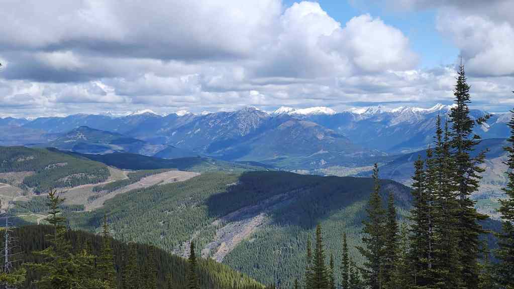
Looking overtop of the TECK mine on Natal Peak (centre) at Sheep Mountain (right of centre), Mount Salter (right of centre) and Mount Lyne (left of centre).
Me on the summit. Despite my tree bending prowess, I couldn’t bend the iron bar by leaning on it. 😂 (Photo by Andrew Nugara)
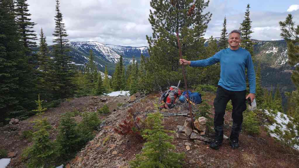
Andy on the summit. We built a small cairn to hold the bar upright. In reality, this will probably last until the first good windstorm. 😂

A sapling is growing next to the survey pin. (Photo by Andrew Nugara)

After determining the snow would make getting to the southwest end of the ridge a tedious process, we decided to head back to my truck.
The old road that we found at the top actually goes straight back to the base.
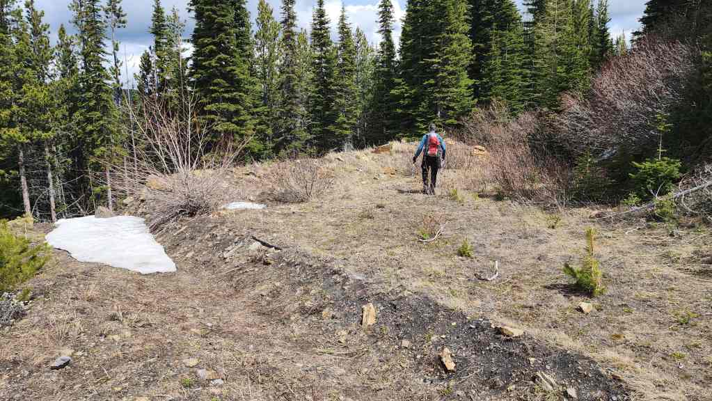
Andy pauses to take in the views.

We tried to keep following the snow beyond where we initially joined the ridge, but it soon became too soft to walk on, so we bailed onto the east side of the summit.
Our descent onto the road involved a bit of bushwhacking. 😂
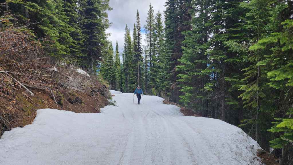
Back on the road.
At the base of the summit and confirming the snow still sucked. 😂 (Photo by Andrew Nugara)
Arriving back at the clearing.
Retracing the grizzly’s tracks along the road.

One final look at the summit. Yup, it’s definitely foreshortened from this vantage.
Passing beside the spot where we joined the road earlier in the day. We decided to follow the road to see where it led.
Arriving at a switchback.
Looking back and along the road from the switchback. More importantly, Andy captured my cap flowing like Fabio’s hair. 😂 (Photo by Andrew Nugara)
The switchback will see the road head to the southwest and further up the valley.
Looking up the valley and towards the high point on Marten Ridge.
We discovered that the old logging road that we had found earlier in the day, joined the switchback.
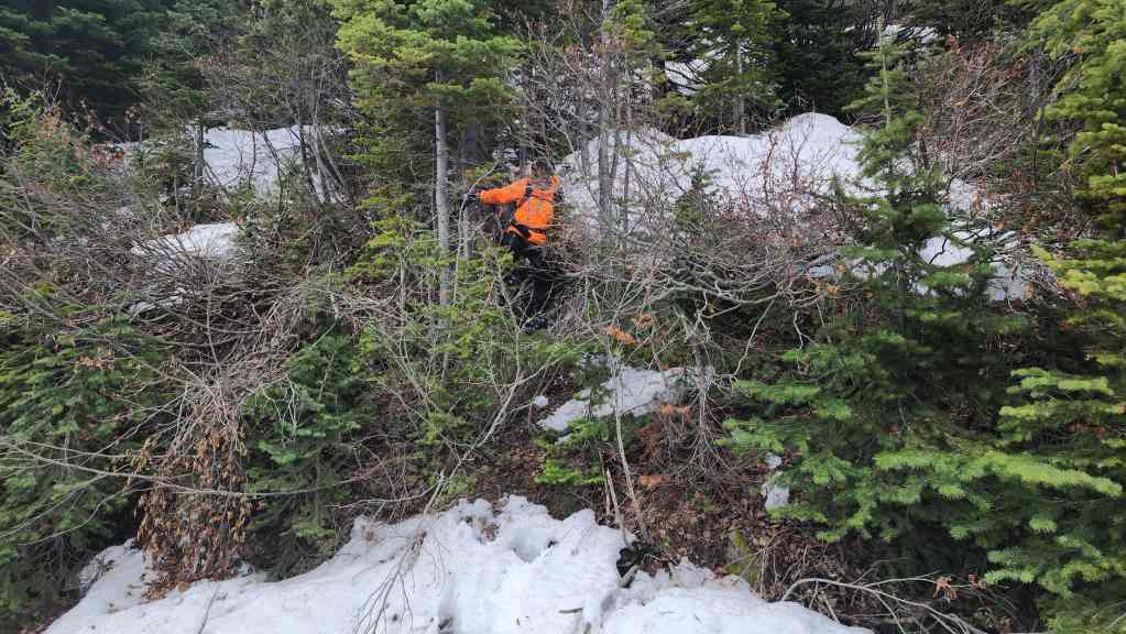
Andy heads into some heavy bushwhacking on the old road.
We decided to confirm that this was indeed the old road that we had found, so we kept bushwhacking.
And ~160 m later, we arrived at the spot where we had first stepped onto the road.

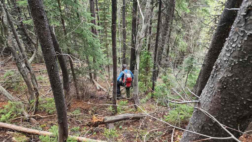
I will say one thing about descending this mountain. While following the ridge up is fairly straightforward, it’s easy to go off course when you are coming down through the trees. We made this mistake while descending from the old road and we ended up in more bush and deadfall than we encountered at any point coming up. It took quite a bit of traversing to get us back on track and onto terrain like this.
On the lower section of the mountain near Wheeler Creek.
Back on the small trail that leads to the logging road.

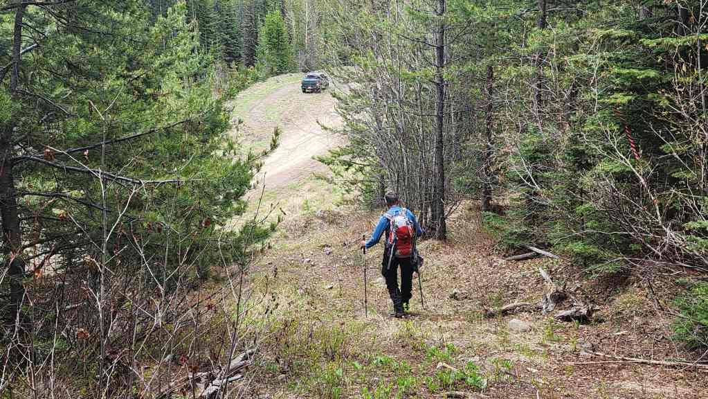
Through the underbrush and back on the road. It will be an easy ~1 km hike from here!
Forget the grizzly! Pac-Man is about to gobble Blinky. 😂
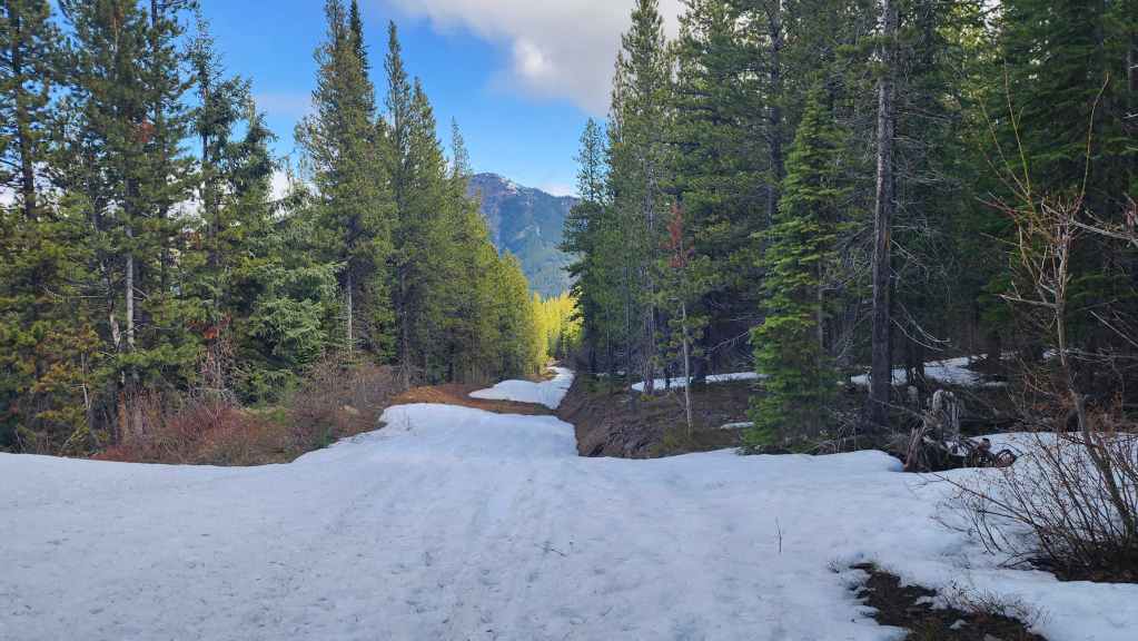
Arriving back on the Wheeler Creek Road 5 hours and 5 minutes after starting. After loading up the truck, we’d spend more time driving the area’s roads and scouting the terrain. In the summer, it’s probable that the amazing road that we encountered near the summit, is accessible and drivable from some point in the area, as it’s just too good. Google Earth labels it as the Ring Forest Service Road; however, Google also said that it connected with Wheeler Creek Road, so I’m cautious about using the label layer for backcountry trips. Finally, a huge thanks to Andy for yet another fantastic day in the mountains. 🙂