
⚠️ Hiking and scrambling are inherently dangerous activities. Please read my Disclaimer. ⚠️
As my summer of exploration in Waterton continues, I’m grateful to have finally visited both Buchanan Ridge and Buchanan Peak. I’m not sure what this mountain has against me, but every time I include it as my primary destination, the weather turns nasty and I turn away. This phenomena dates back to my 2015 ascent of nearby, Mount Carthew, when a blizzard made for whiteout conditions and ruled out any chance of continuing on to Buchanan. Fast forward through the years and I can think of at least four other times when I’ve planned for Buchanan, but have had to change plans at the last minute due to weather. Indeed, the latest example was in May, when Brad and I ventured up Lion’s Head and Vimy Peak after encountering insane wind at the base of Buchanan Ridge.
Today however, that all changed – well, almost. After an insanely hot, dry, and near-windless summer, the forecast finally changed with a welcome call for cooler temperatures and rain. Though the precipitation wasn’t supposed to arrive until tomorrow, we found ourselves on the edge of the incoming system, hiking under dark clouds and enduring strong gusts. In fact, the morning temperature was cool enough to warrant toques and gloves as we made our way up the west ridge of Buchanan.
When coupled with smoke from wildfires, I wasn’t prepared to see much from the top of Buchanan Ridge; however, there was enough of a view to make our endeavour worthwhile, and as we made our way towards, Buchanan Peak, the weather eased, allowing us to take in some decent views of the Carthew Lakes. By the time we reached, Alderson Lake, the sun had come out, making our hike back along the Carthew-Alderson trail, a pleasant experience.
Named for William Ashbury Buchanan, who was the founder and editor of the Lethbridge Herald and who served as the Minister of Municipal Affairs in Alberta’s first Legislative Assembly (50 Roadside Panoramas in the Canadian Rockies by Dave Birrell, 155), this massif boasts five distinct peaks: three of which are officially named. To be honest, Buchanan Peak looks way more impressive from the Carthew-Alderson trail than it does from the noticeably taller, Buchanan Ridge. In fact, I’m not sure why the Peak is named when the unnamed summits along the ridge are much taller and far more distinctive. No matter, I will be back for the other peaks at some point in the future. 😁
Finally, a huge thank you to Andrew who suggested using a two-vehicle route for the day, allowing us to gain all of our elevation quickly from the Akamina Parkway, followed by an easy hike back to the Waterton townsite along the Carthew-Alderson trail. Downhill trail hikes at the end of the day are the best! Thanks Andrew! 😁
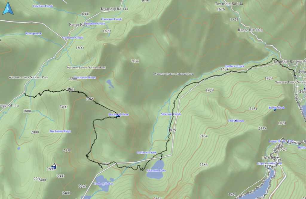
Buchanan Ridge and Buchanan Peak are included in Alan Kane’s, Scrambles in the Canadian Rockies, as add-ons to Mount Carthew. We used a two-vehicle route that was a variation of Andrew’s August 2005 and December 2020 routes – where we ascended the same way, but chose to descend into the large valley immediately to the south of Buchanan Peak and then out along the Carthew-Alderson trail.
Our day began by leaving my vehicle at the Carthew-Alderson trailhead in the Waterton townsite. We then used Andrew’s car to follow the Akamina Parkway to the Rowe Lakes trailhead. From here, we continued driving for another ~1.6 km until we came to a small pullout on our right that was immediately across the road from the 12 km marker post. This was our starting point.
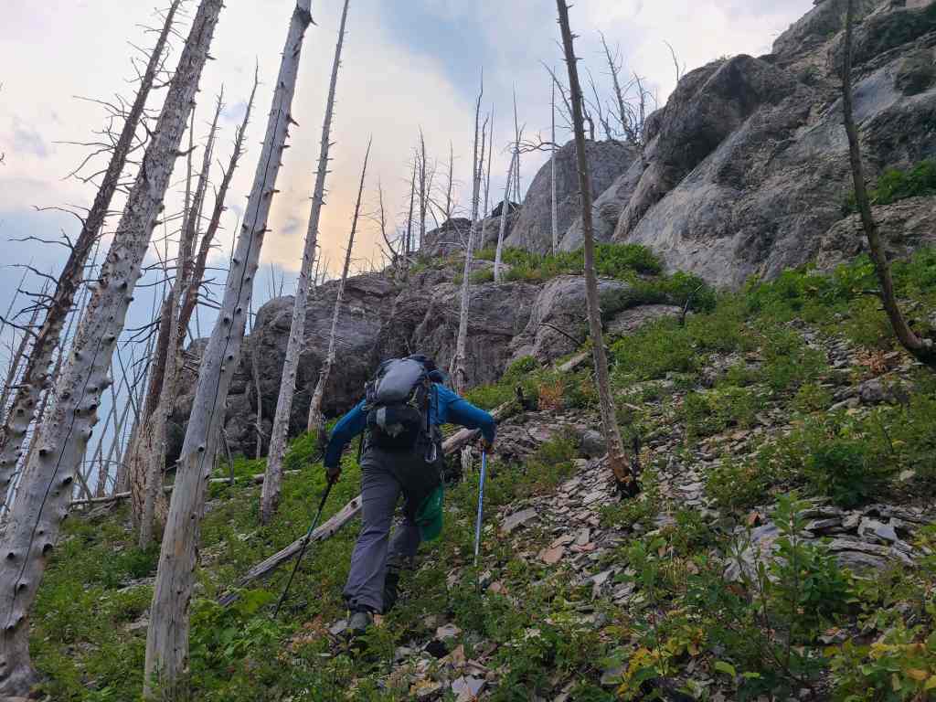
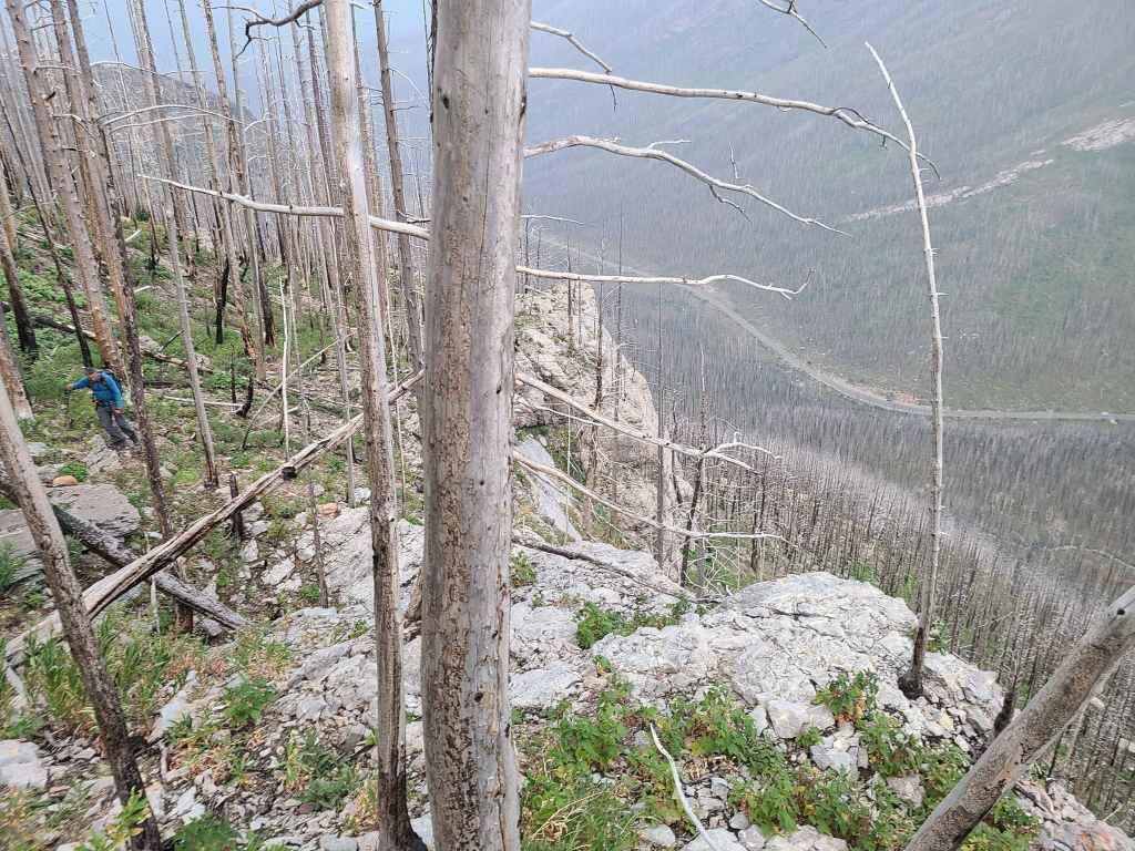
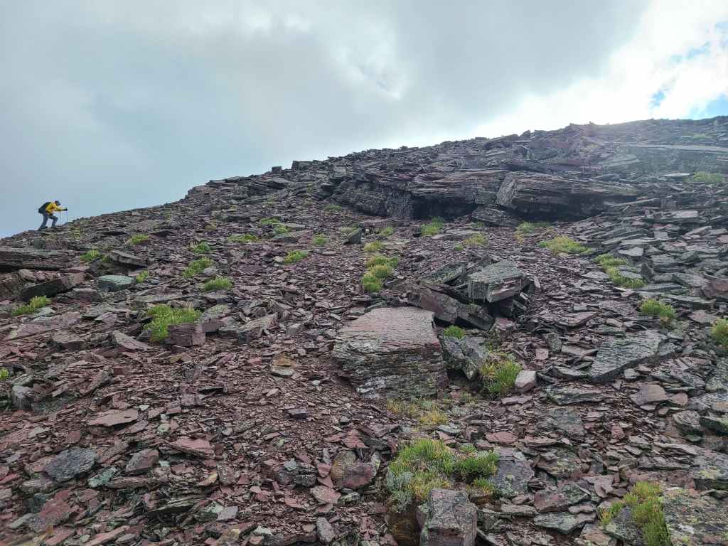
After crossing Cameron Creek, we began the steep climb up the west ridge immediately beneath the summit of Buchanan Ridge. The route was incredibly straightforward and the only scrambling we encountered, was what we chose to do. From the car to the summit, it was a very quick 2 hours and 20 minutes with an elevation gain of 991 m over 3.6 km. From here, the remainder of the route was downhill.
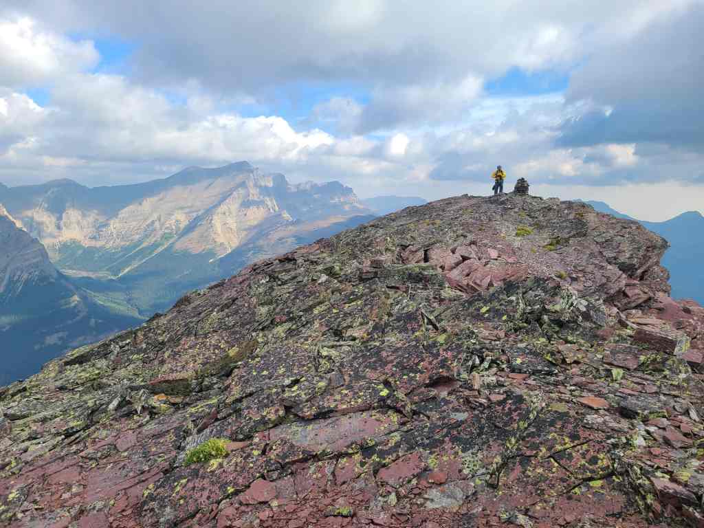
Getting to Buchanan Peak involved a fun, ~2 km scramble along the connecting ridge, with many of the down-climbs avoidable by sticking to skier’s right. We arrived on the summit a mere 1 hour and 15 minutes after leaving the summit of Buchanan Ridge. Though we debated using Bob Spirko’s 2005 route to reach the trail, we ultimately decided to explore the lush valley immediately to the south. As we wanted to visit the lowest Carthew Lake, we trended along the upper reaches of the valley beneath Carthew, until we reached the Carthew-Alderson trail.
After a quick visit to the lake, we began to head back along the trail, again stopping briefly on the shores of Alderson Lake to eat our lunch. From Alderson Lake it was an easy 6.8 km hike to the Waterton townsite and my vehicle.
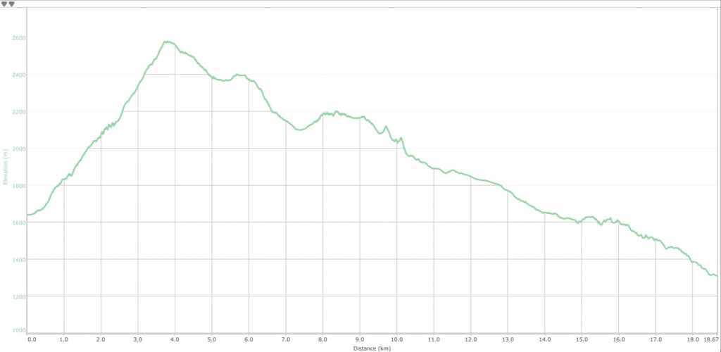
Our total distance travelled was 17.7 km with a total elevation gain of 1261 m. Our total roundtrip time was 7 hours and 33 minutes.
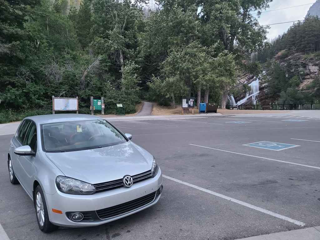
Early morning at the Carthew-Alderson trailhead. As this was a two-vehicle route, we left my car here and drove to our starting point on the Akamina Parkway in Andrew’s car.
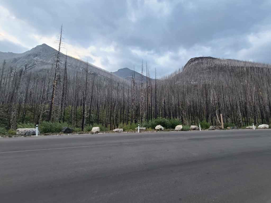
The view towards Buchanan Ridge (left) from the pull-out.
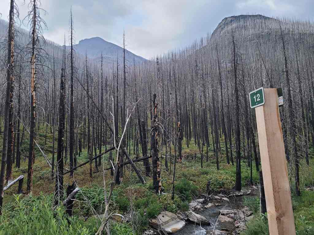
The 12 km marker was a good reference point.
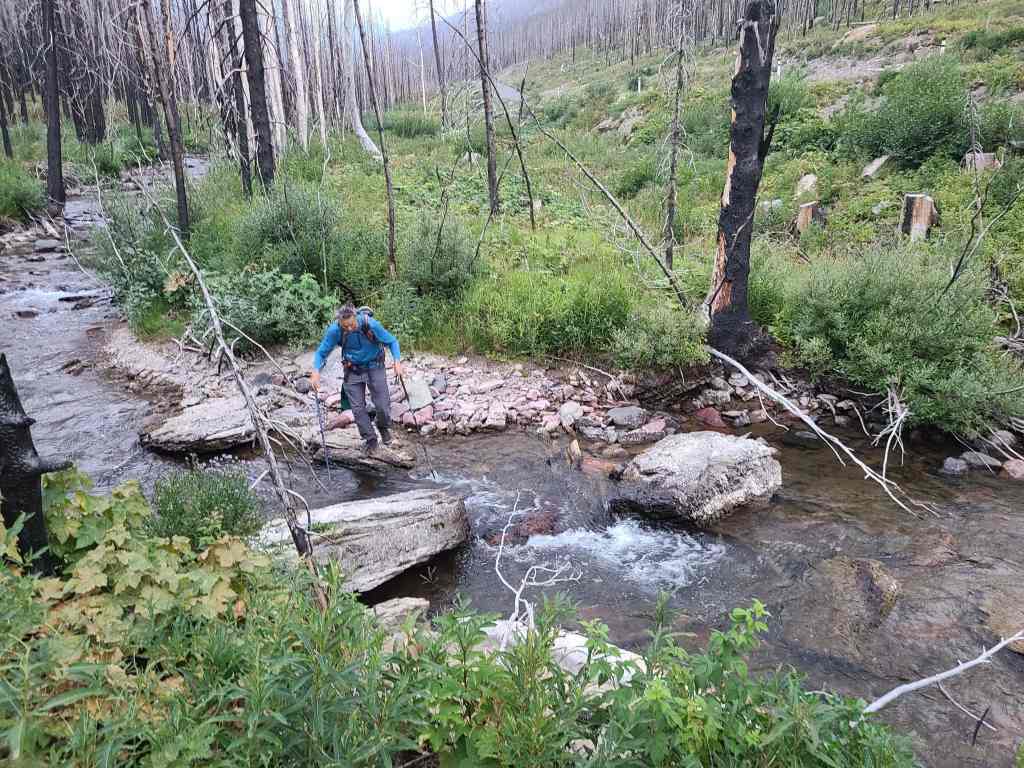
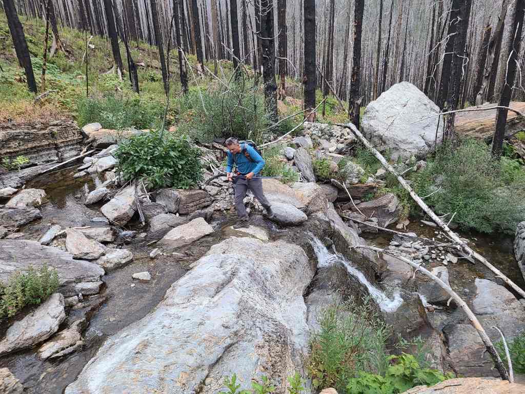
Andrew easily crosses Cameron Creek.
To reach the west ridge, we followed a small drainage.
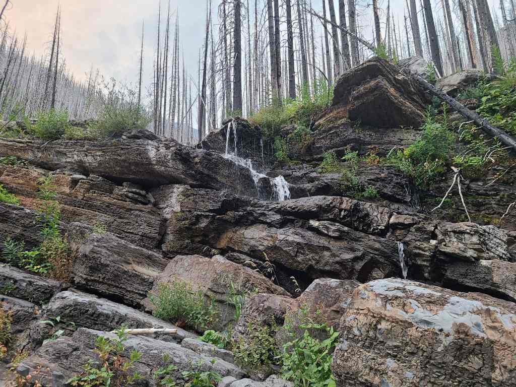
The first of many waterfalls that we would encounter throughout the say. (Photo by Andrew Nugara)
Andrew crosses the same waterfall from the previous photo.
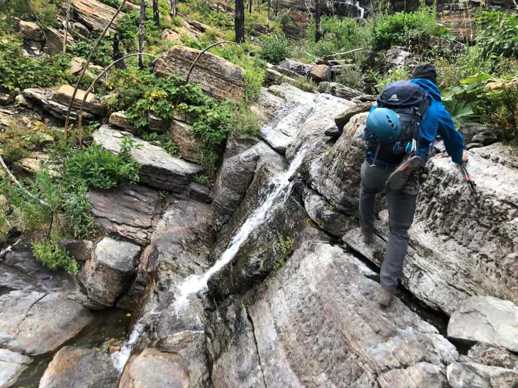
The next waterfall featured a series of cascading pools.
Andrew checks out the intricate features of the waterfall. There were so many neat channels and sub channels that in turn, led to different waterfalls. I thought it was very cool.
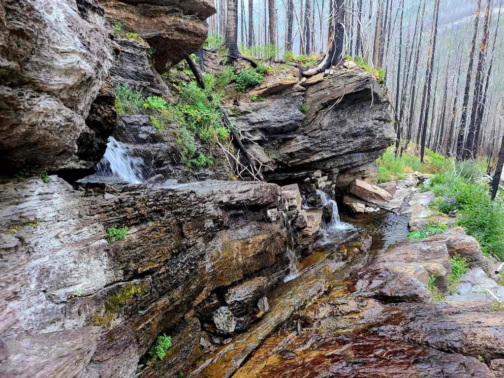
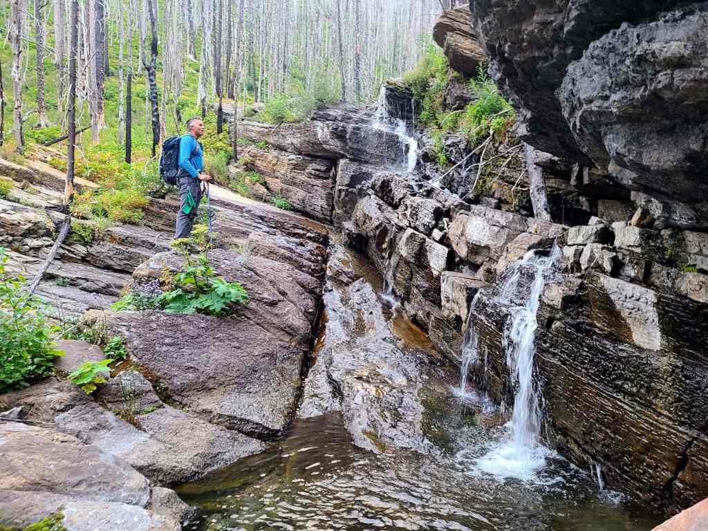
Looking back along the waterfall. Note how the water has carved a small channel into the rock (far right).
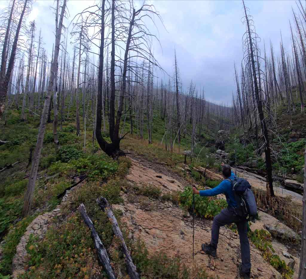
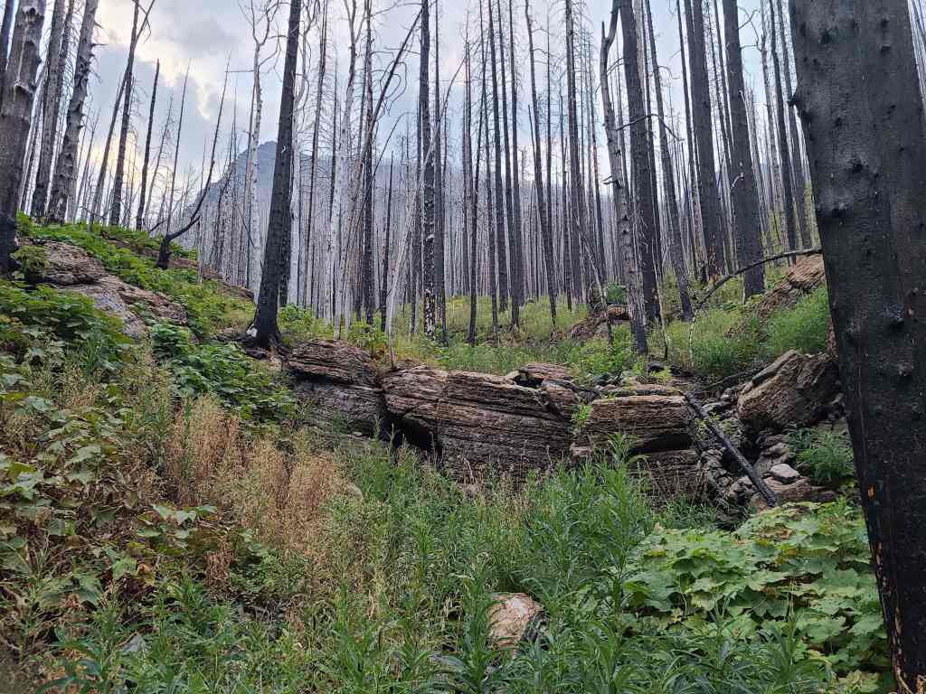
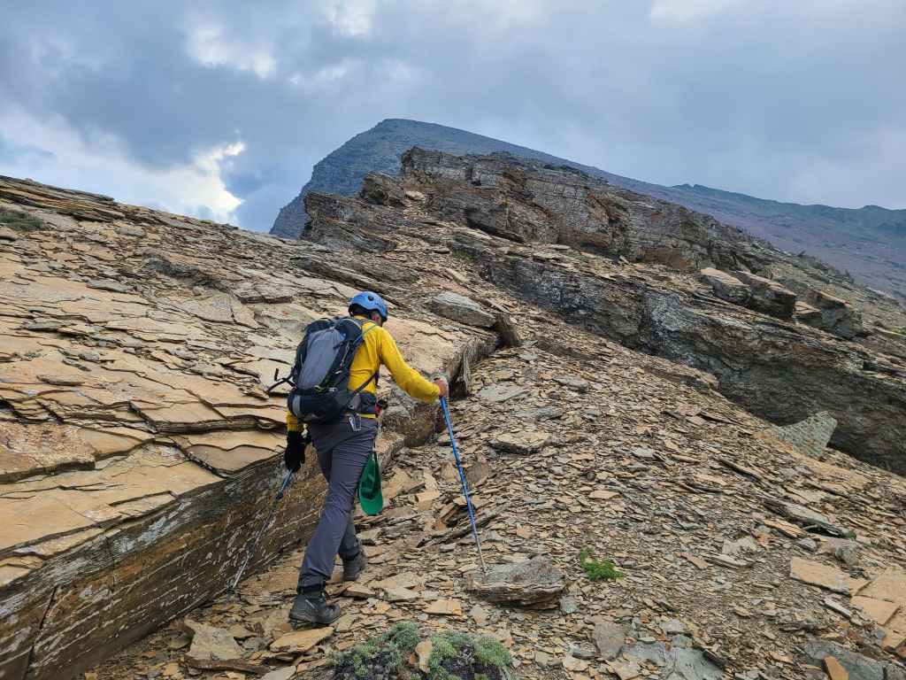
Shortly beyond the waterfall, we arrived at the base of the west ridge.
Good thing we’d eaten our Wheaties! 😂 The abrupt angle of the slope definitely got our blood pumping.
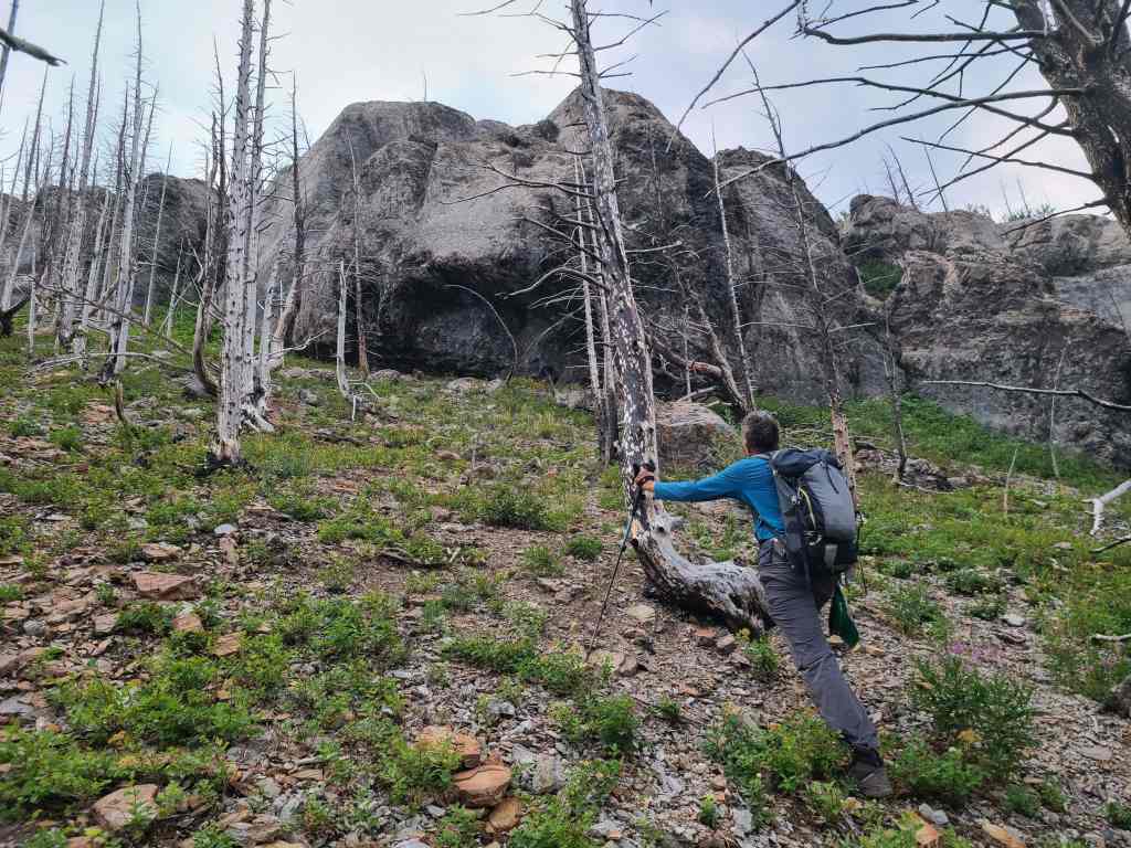
Arriving at what looked to be, a formidable rock band.
While Andrew headed to climber’s left to search for a route…
I found an easy walkup to my right.
The view back and along my route over the rock band.

The grade above the rock band provided a momentary reprieve.
Instead of heading directly up, we stuck to the edge of the ridge, simply because it looked way more interesting.
Gazing down at our starting point (right) on the Akamina Parkway.
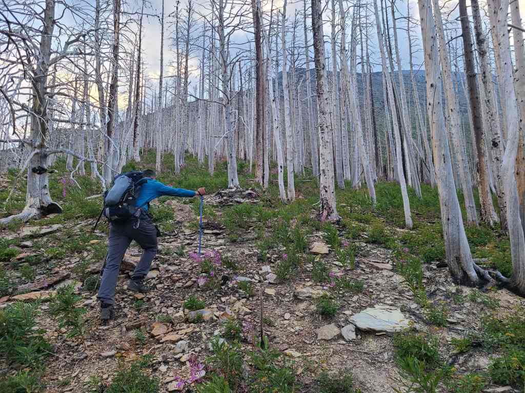
Almost out of the trees.
As soon as we were above treeline, we stopped to put on our jackets, gloves, toques, and helmets. What a change from the 30+ C days that we’ve had all summer!
Glancing back at Mount Rowe (left) and Mount Lineham (right).
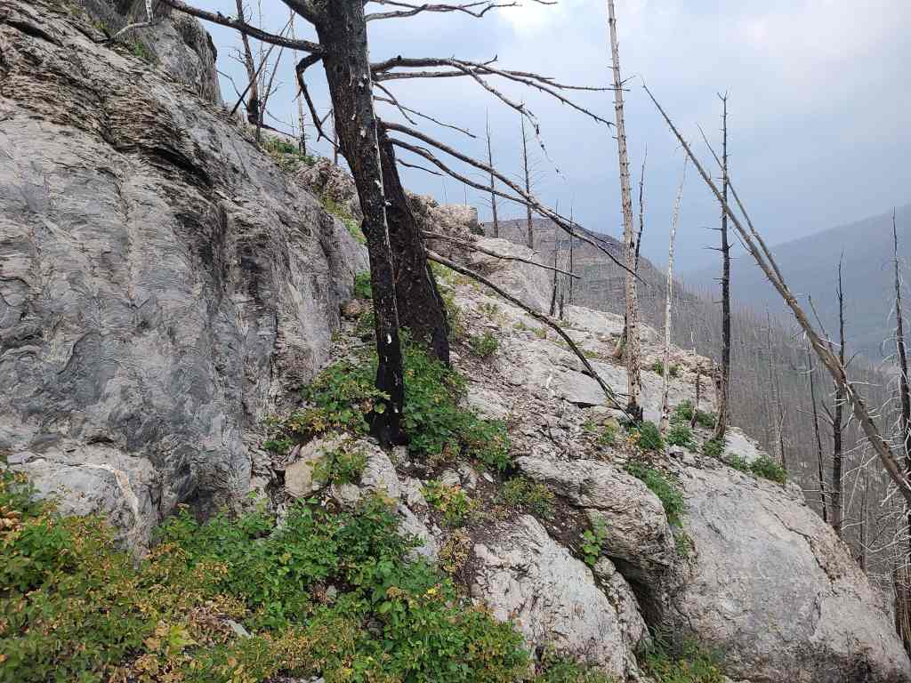
A neat section of argillite along the ridge…
Meant that I couldn’t resist getting my hands dirty. 😁 (Photo by Andrew Nugara)
Arriving at the top. All of this was completely avoidable by sticking to climber’s right. (Photo by Andrew Nugara)

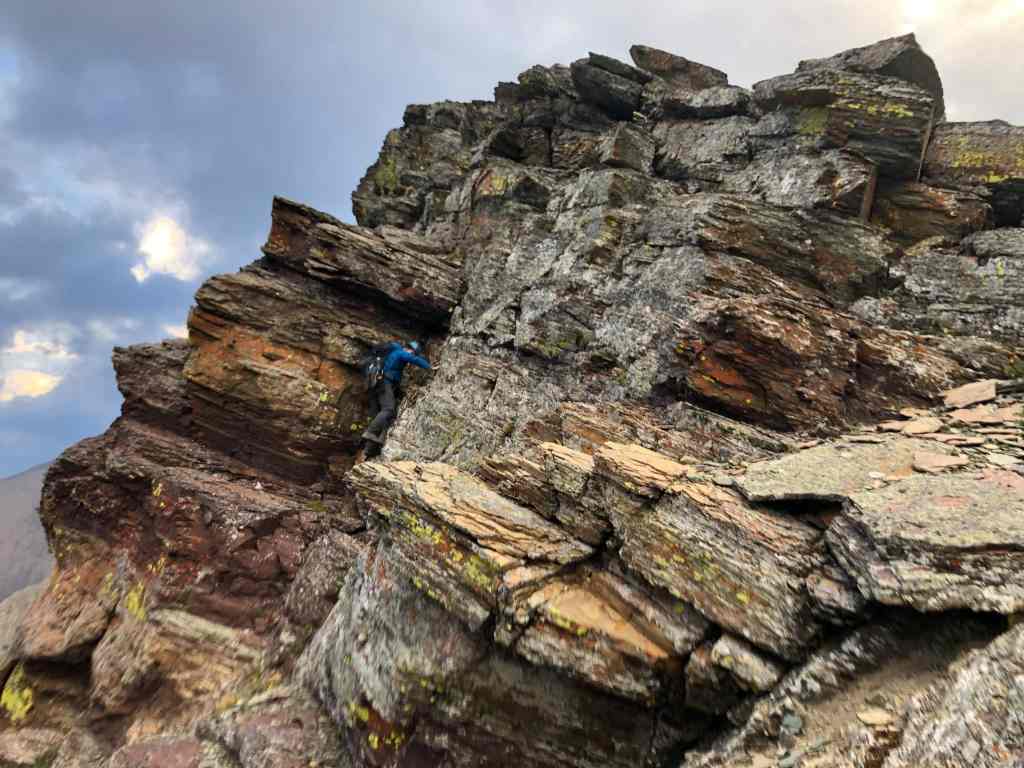
Coming to another interesting section.
Once again, I ventured climber’s left to check out the rock. However, this time, I would turn back after reaching an interesting series of ledges (far right) . The peak to the right is “The Senator”. (Photo by Andrew Nugara)

The view from my vantage in the previous photo.
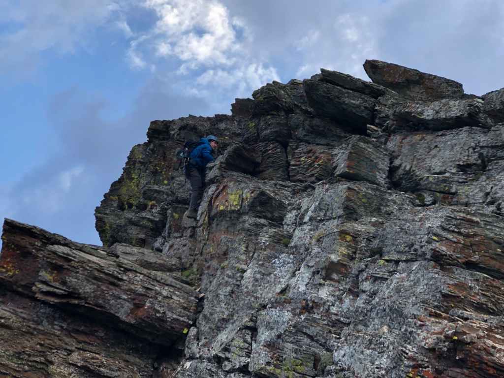
Andrew leads the way.

Heading up and over an another easy section. Again, we could have avoided all of this by keeping to climber’s right.
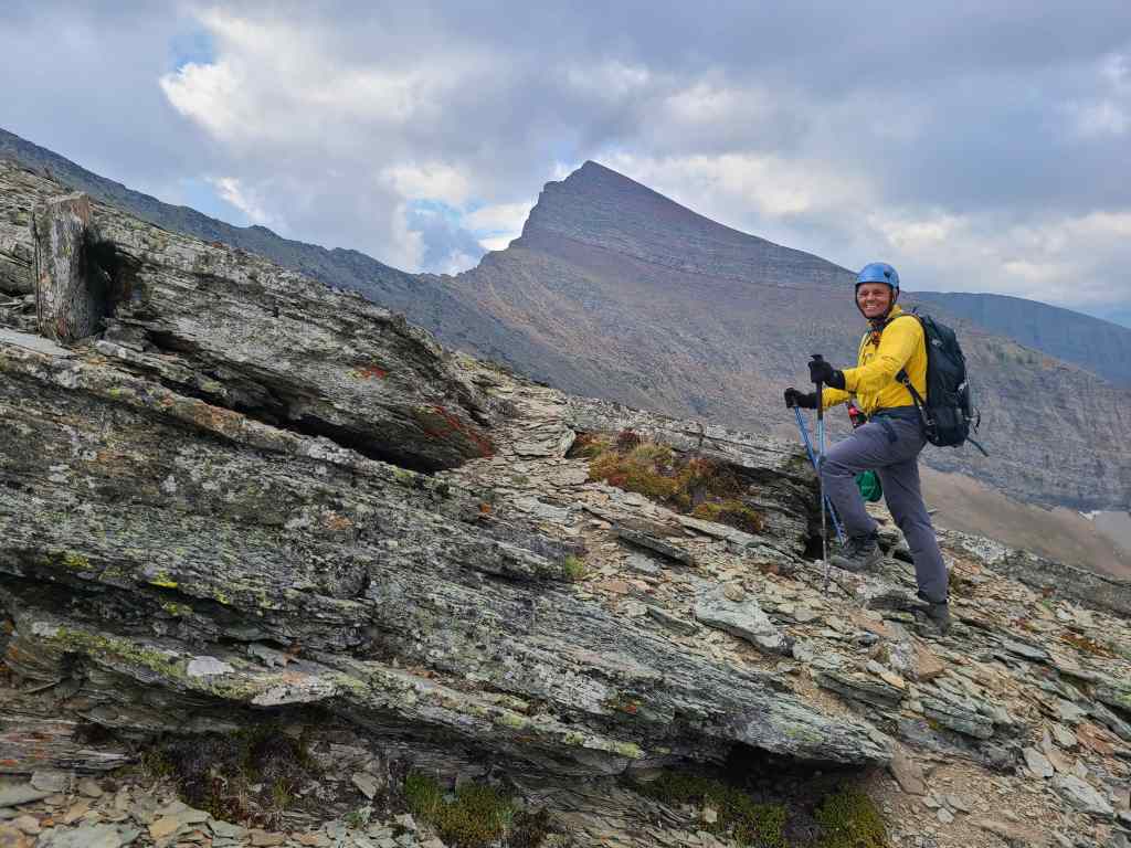
It was windy and it was chilly, but it was fun. 😁 In the background is Mount Carthew.
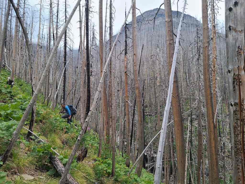
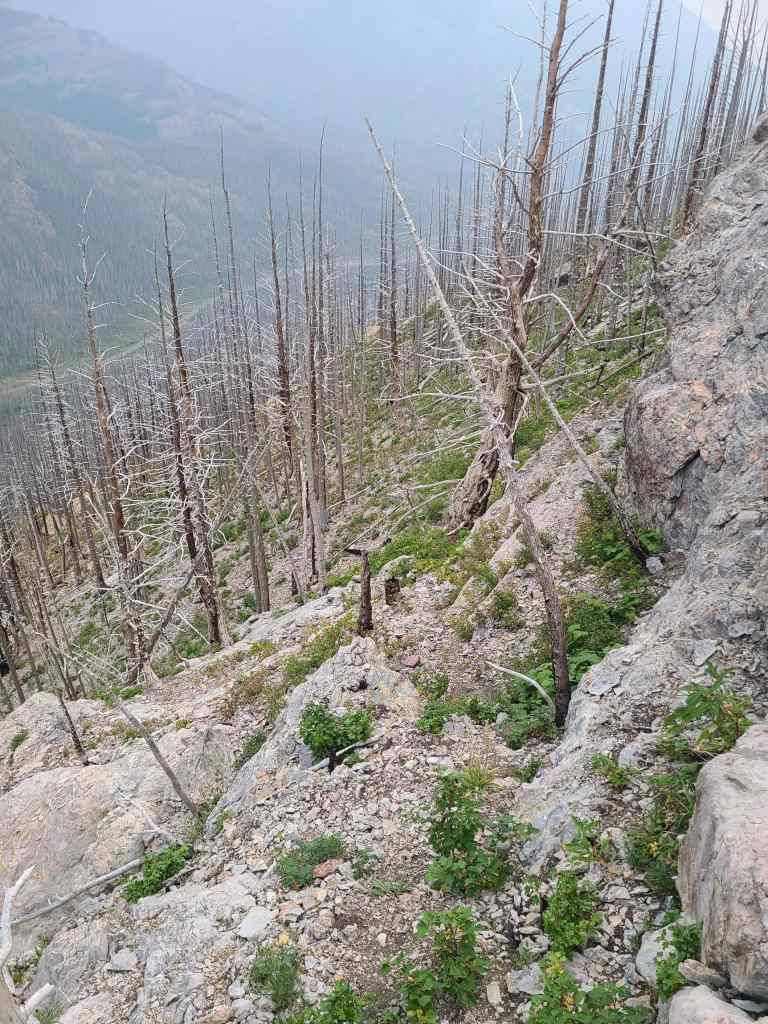
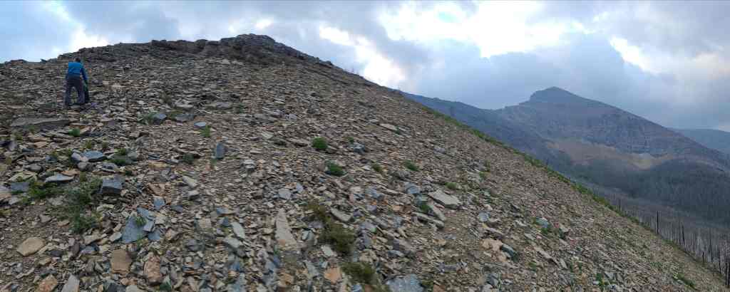
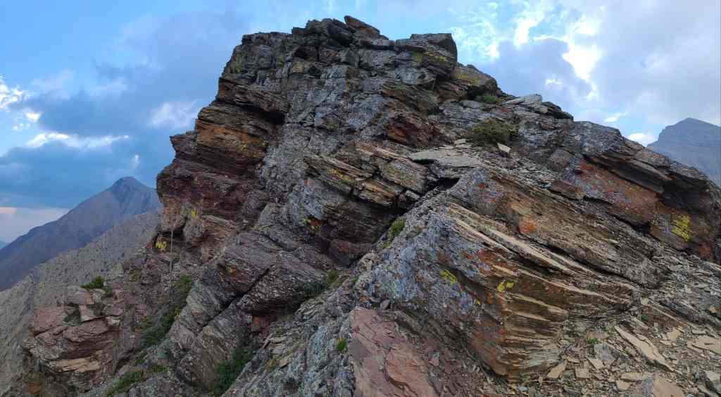
Outside of our unnecessary investigations of the rock along the ridge, the hike was mostly a scree slog.
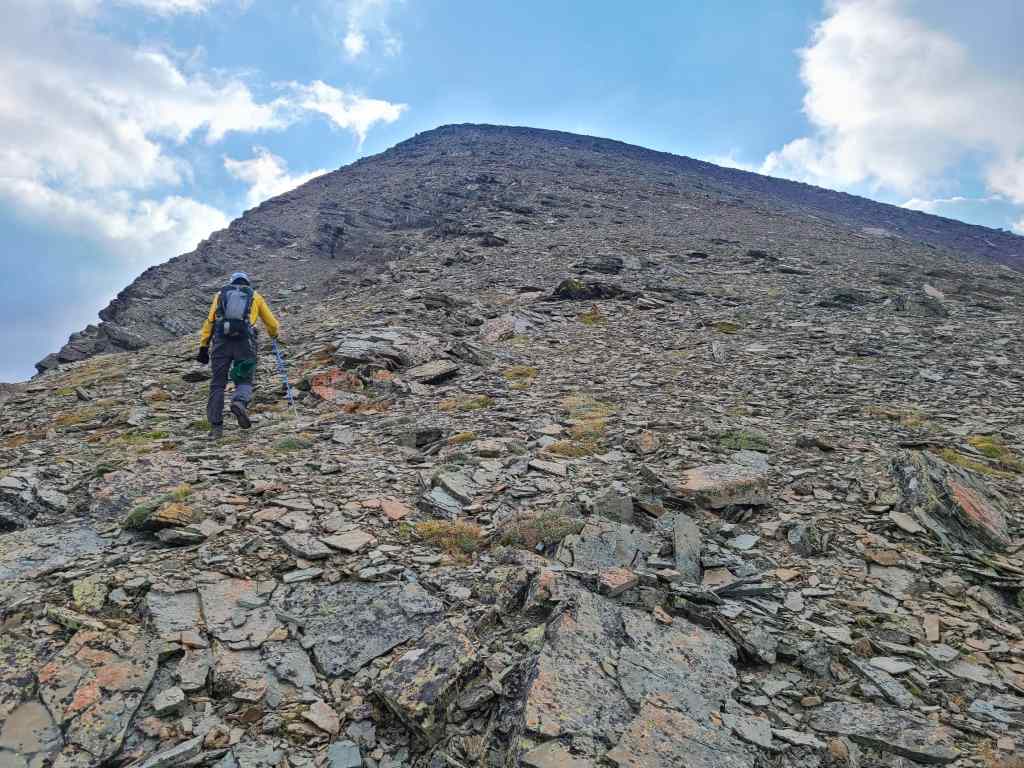
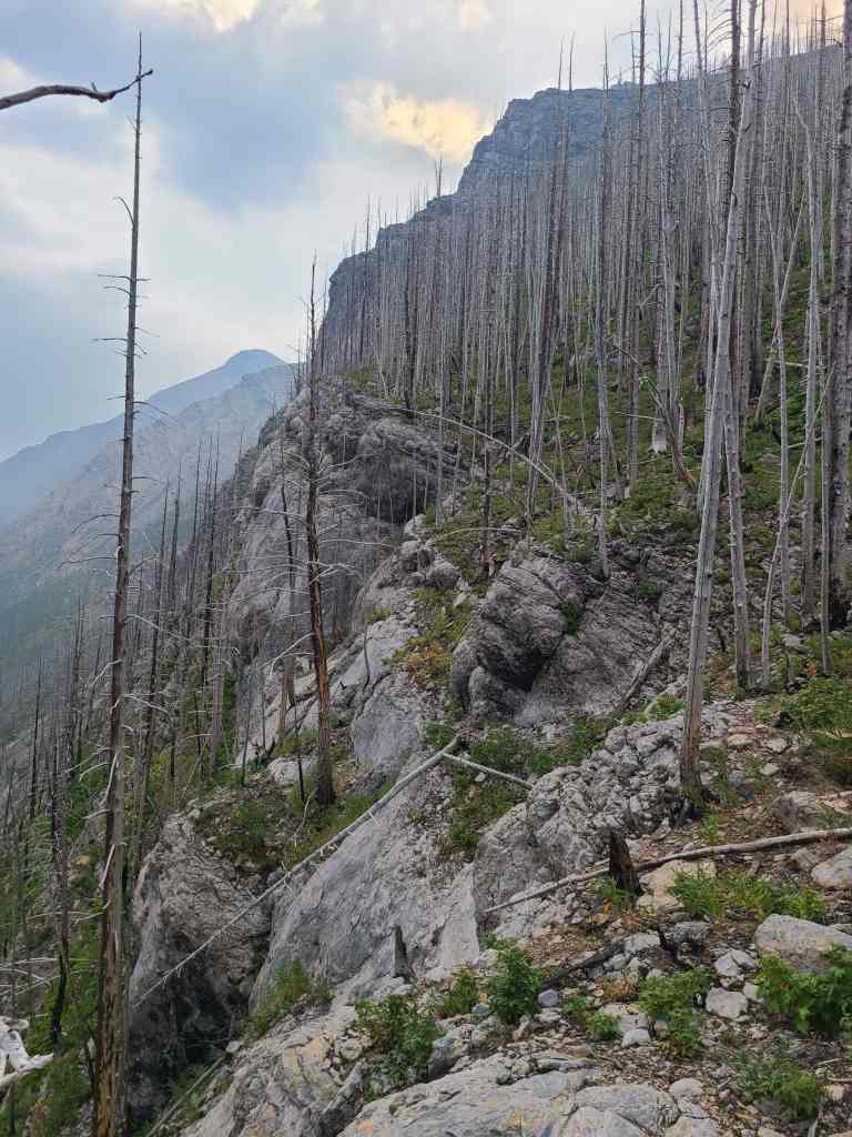
Closing in on the summit.
Andrew leans into the final few metres.
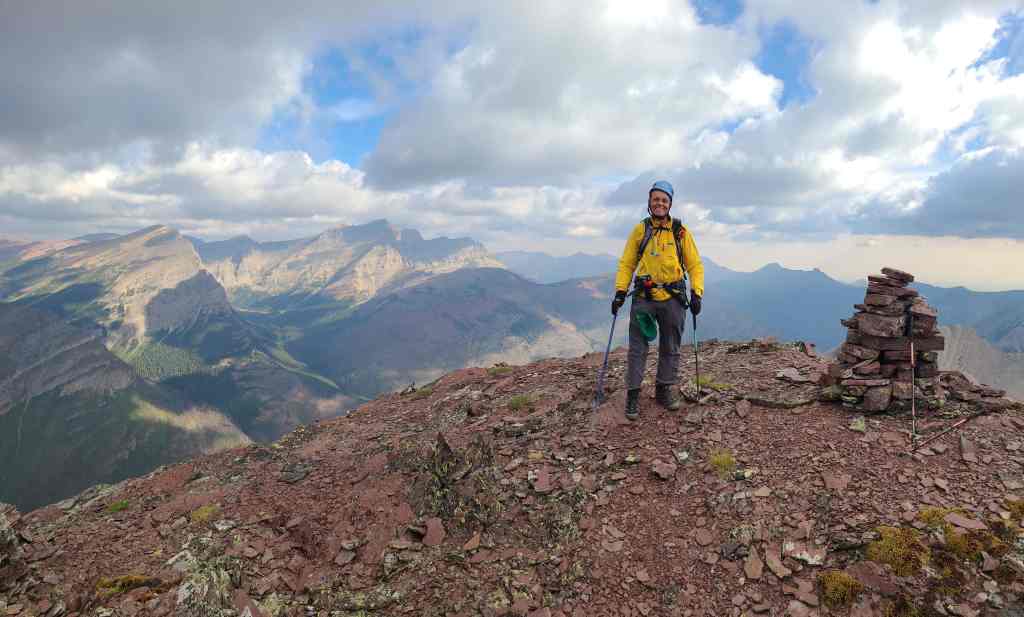
The summit of Buchanan Ridge (2594 m). This was a quick ascent! From the car to the summit, it only took 2 hours and 20 minutes.
The view to the northeast…
And to the east.
Looking to the southeast…
And to the south.
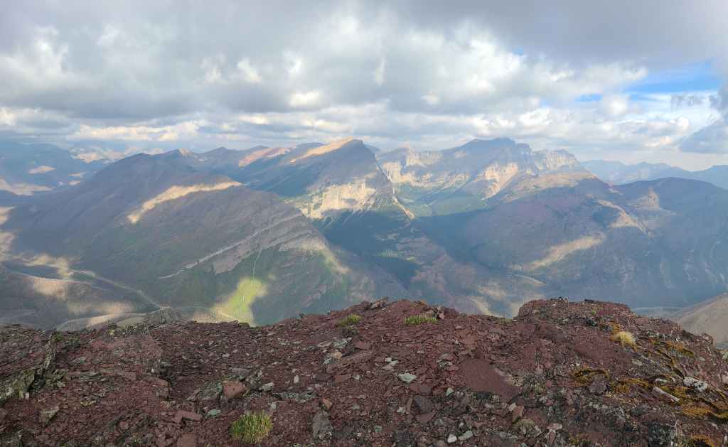
Finally, the view to the northwest.
A closer look at Mount Rowe and Rowe East.
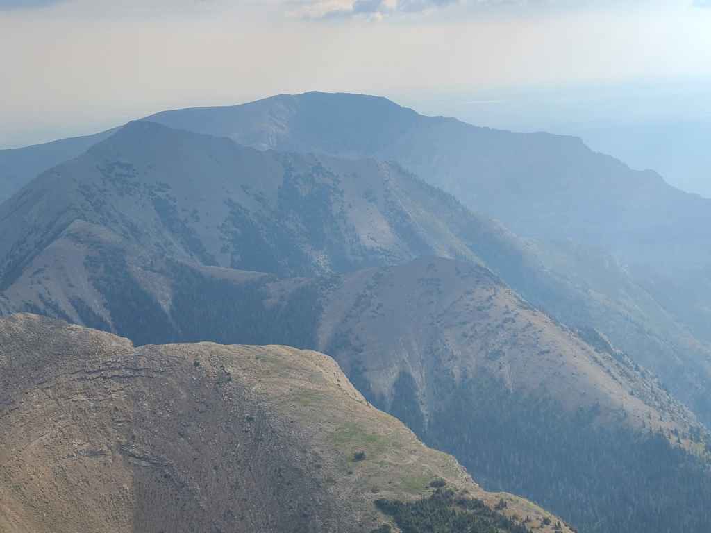
Mount Lineham is still on my list… EDIT: Done!
And so is Piinaquiium / Ahkoinimahstakoo (Mount Blakiston). I’m just waiting for a time when there won’t be any smoke – though with climate change rapidly advancing, who knows when that will be? 😢 EDIT: Done!
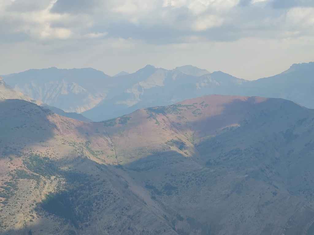
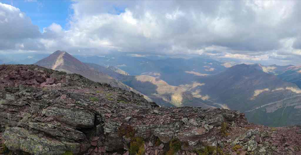
Gazing across Ruby Ridge towards “Cloudowan Peak” (left), Cloudy Ridge (centre), “Cloudy Junior” (right of centre), and “Dundy Peak” (right).
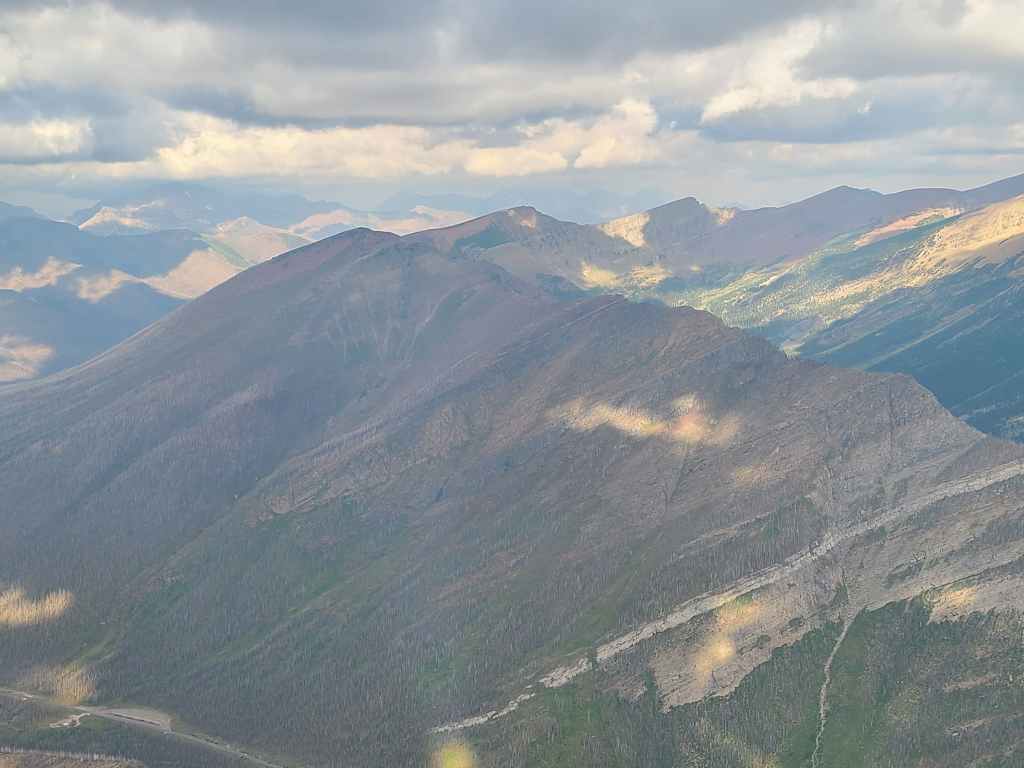
A closer look at Mount Dungarvan (left), “Rogan Peak” (centre), and Mount Galwey (right).
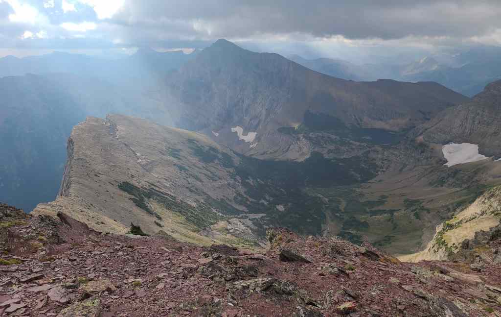
Some pretty tarns beneath, “The Senator”. 😊
A telephoto of Buchanan Northeast (left) and behind it, Mount Crandell.
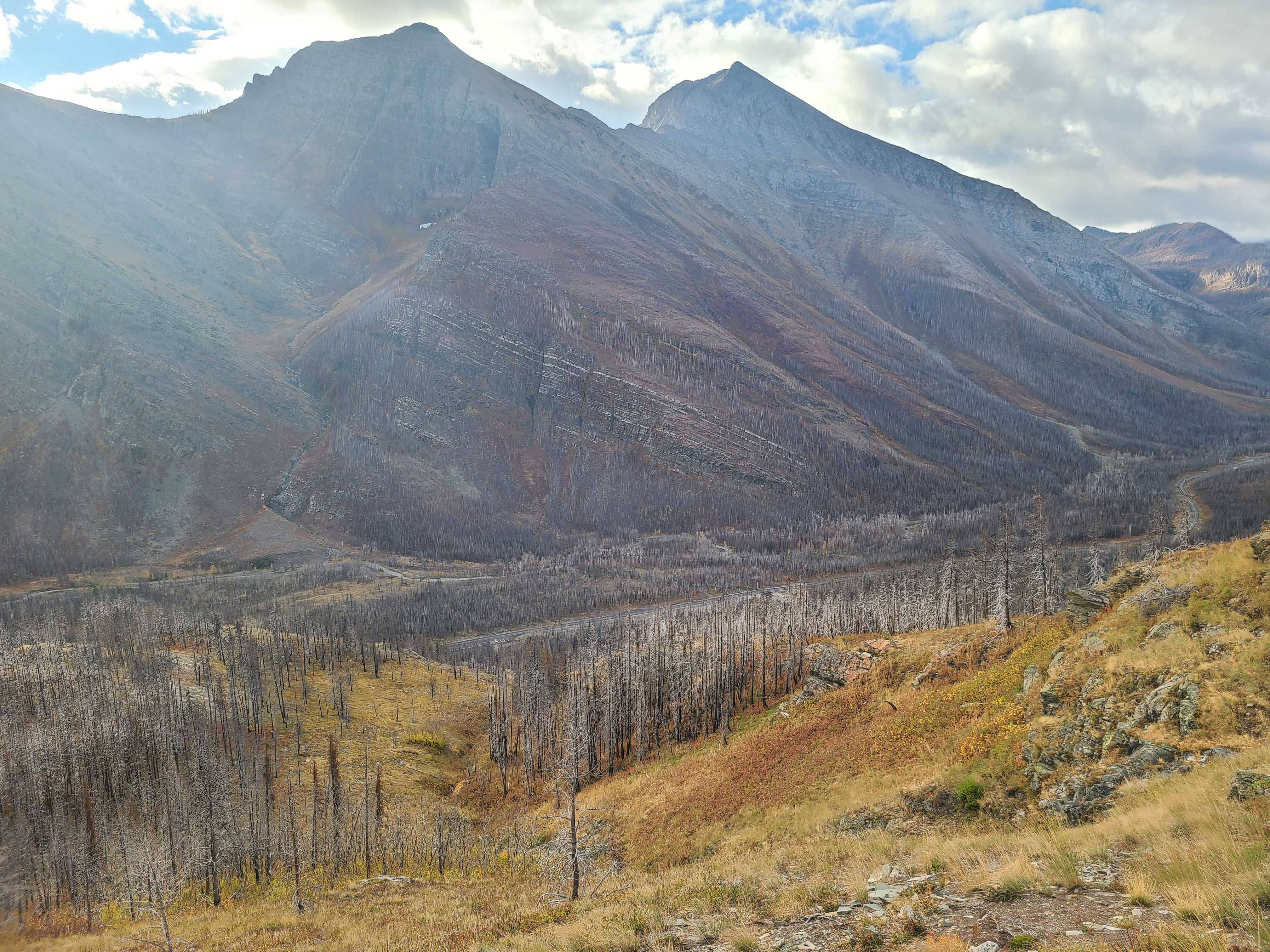
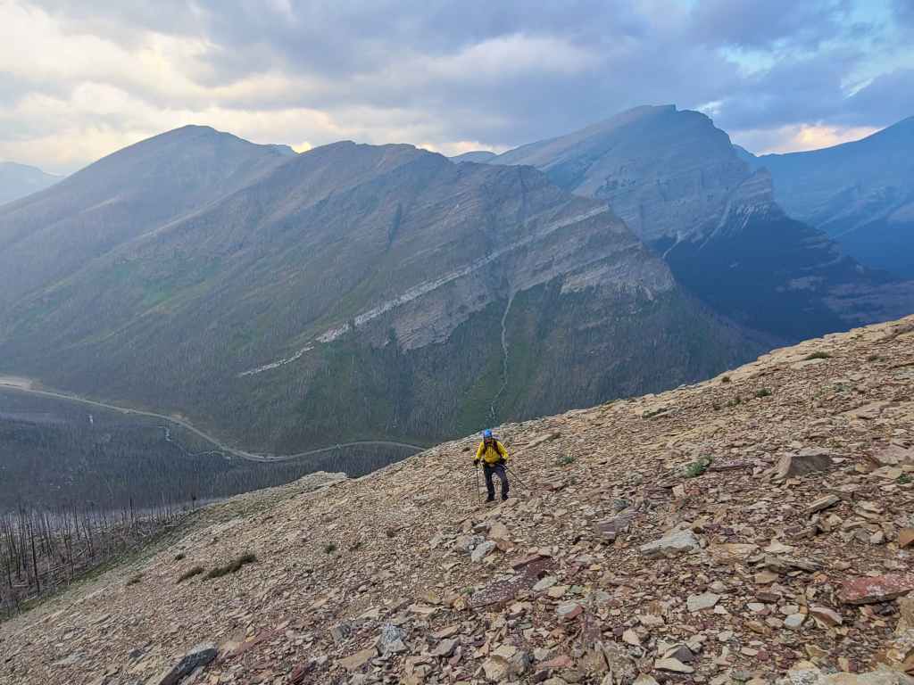
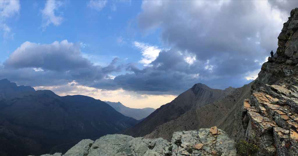
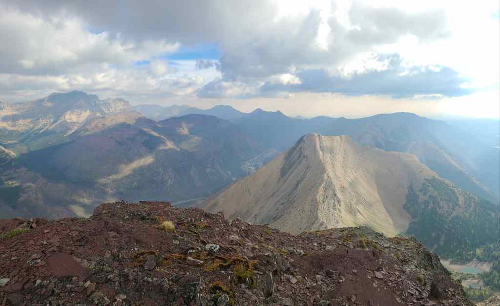
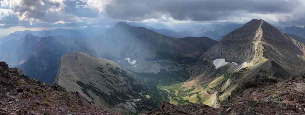
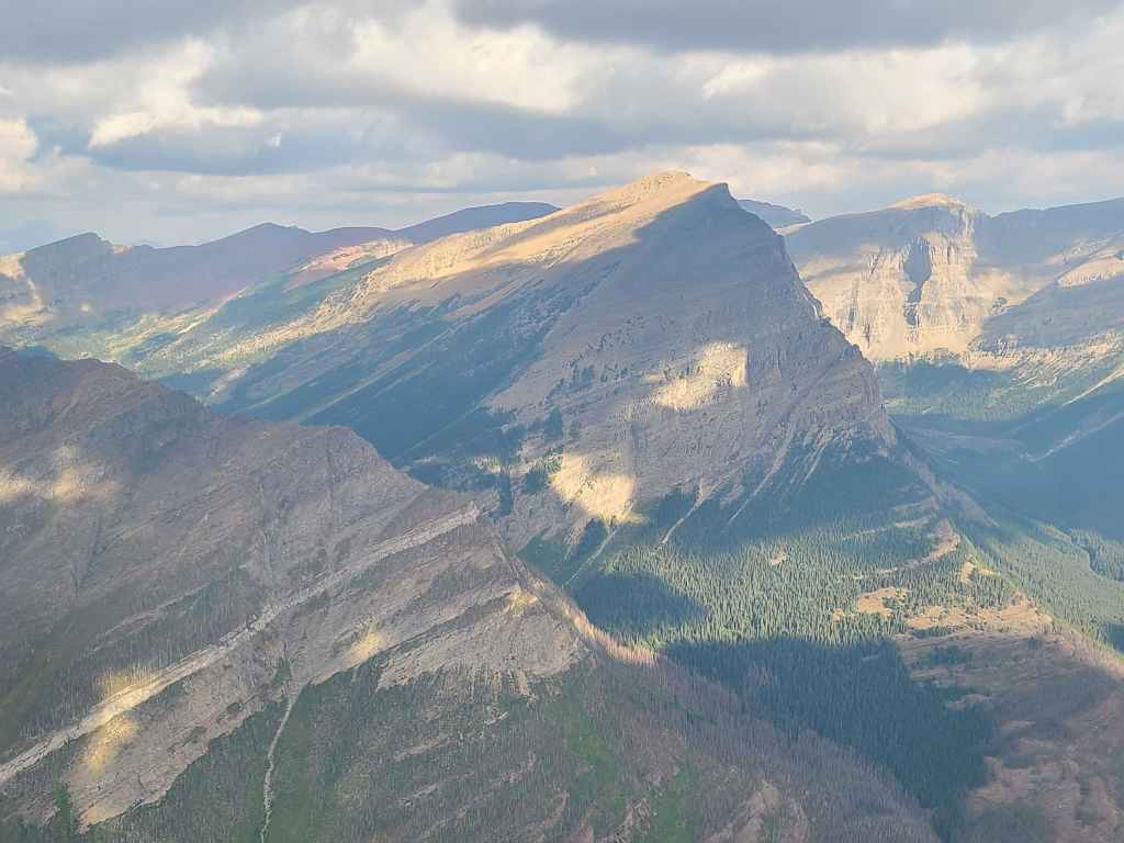
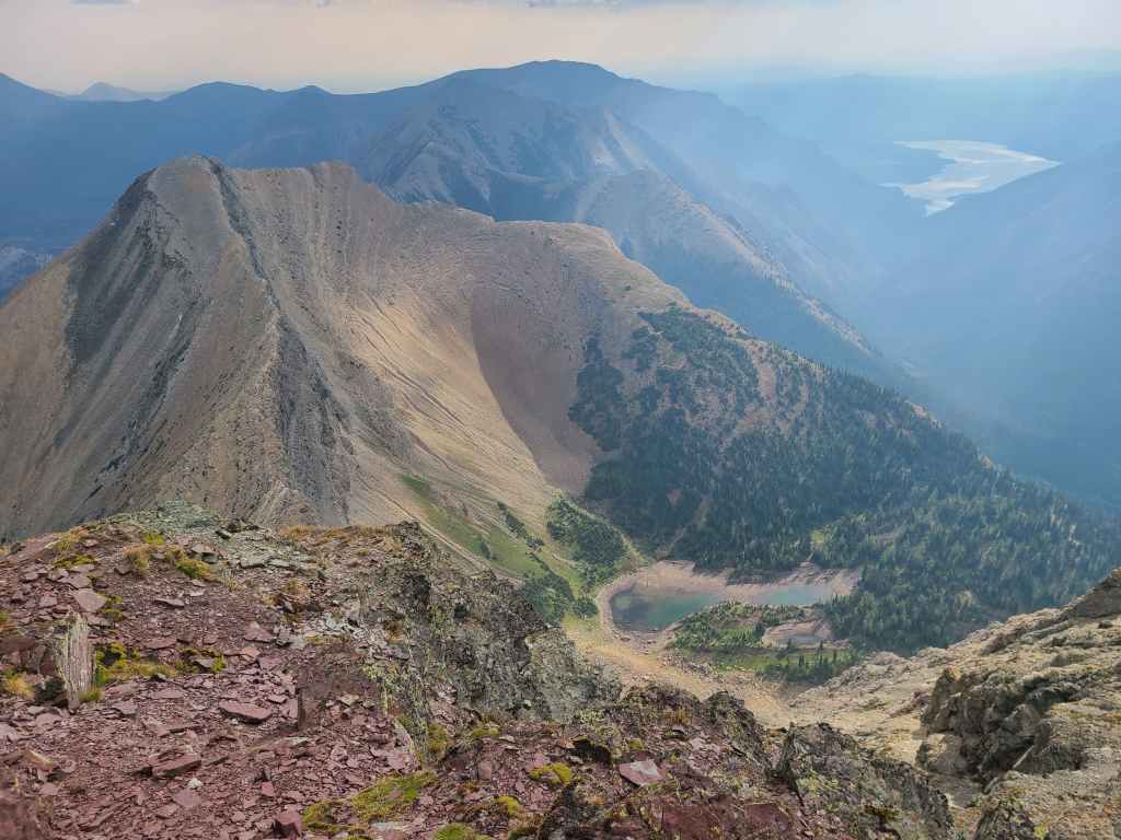
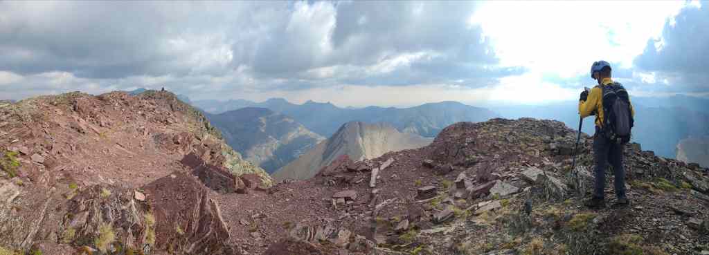
This is where I was most disappointed by the presence of smoke and clouds, as this would otherwise be a stellar view. Our next destination for the day, Buchanan Peak is conveniently illuminated in the foreground, with Mount Alderson in the centre.
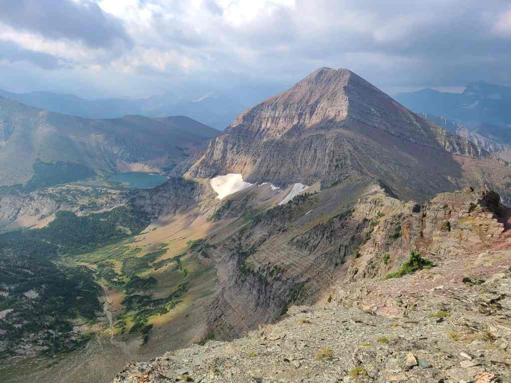
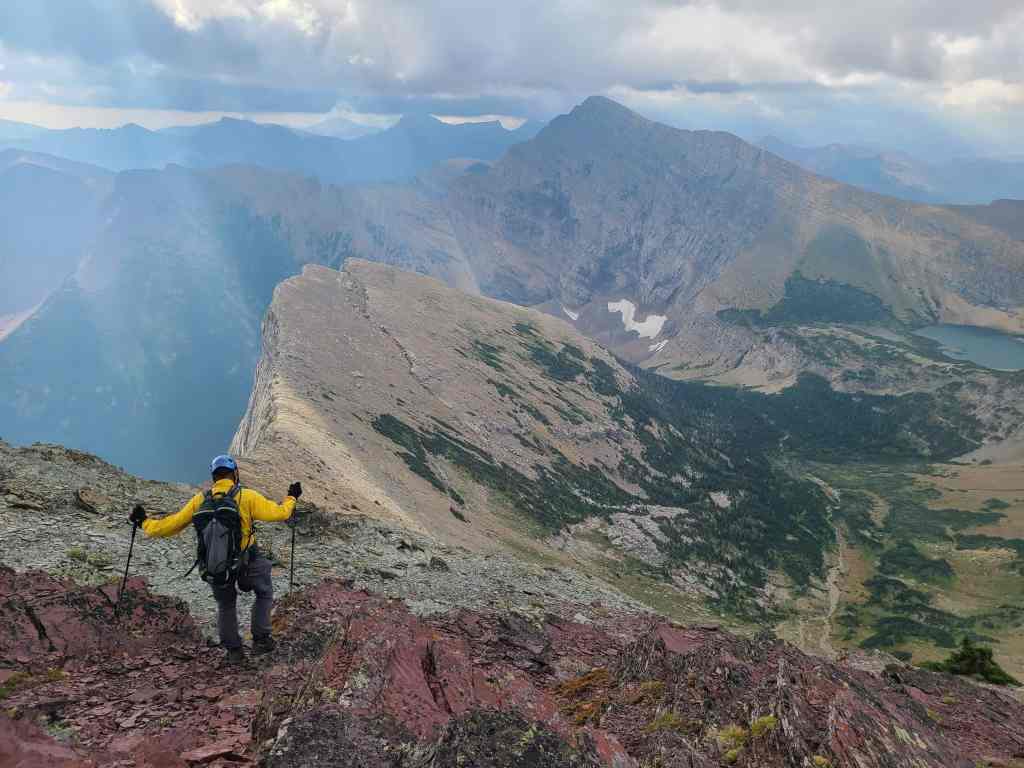
Mount Carthew looks impressive from here. Our route off Buchanan Peak would go out the valley below and beneath the snow patch in the centre.
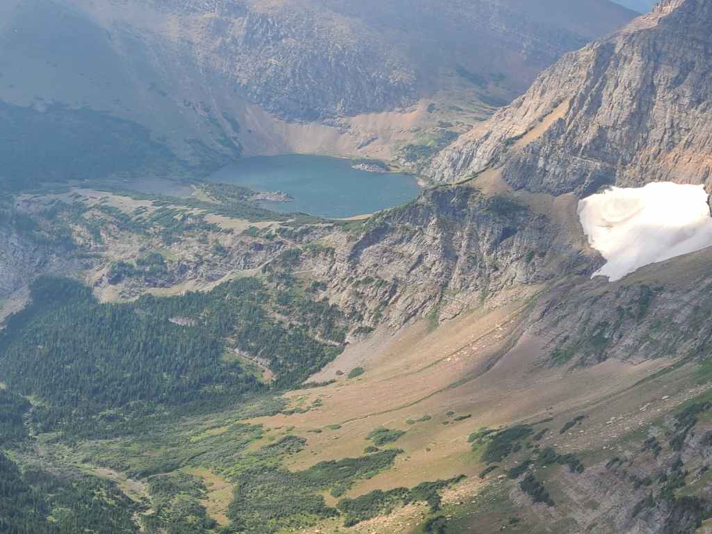
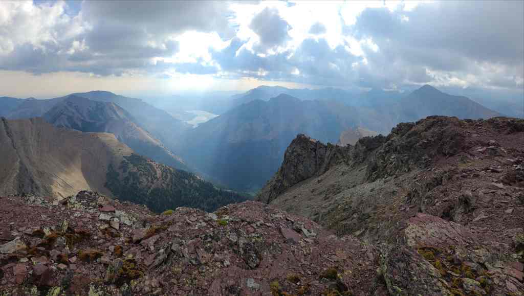
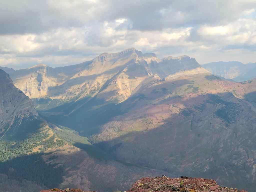
A closer look at the lower of the three Carthew Lakes.
Andrew’s third time on the summit of Buchanan Ridge.
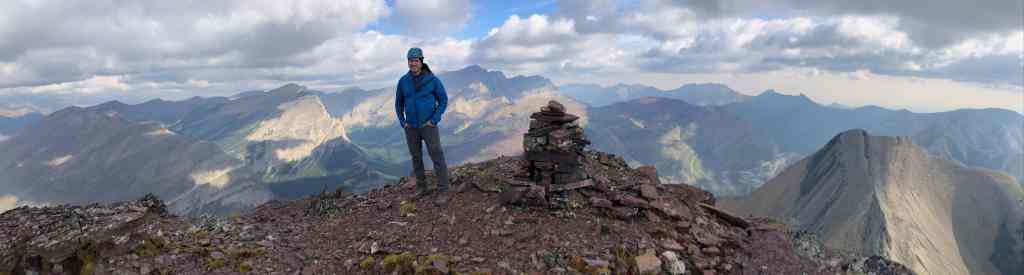
It’s always a privilege and a gift to be in the mountains. 😁 (Photo by Andrew Nugara)
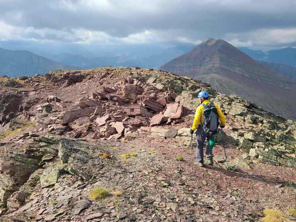
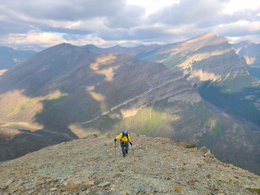
Andrew leads the way as we head toward Buchanan Peak.
Looking back at the summit.
With our maximum elevation for the day reached, it would be all downhill from here. Click to continue on to Buchanan Peak.


Leave a Reply