

⚠️ Hiking and scrambling are inherently dangerous activities. Please read my Disclaimer. ⚠️
It took a few years, but I’ve finally visited all five peaks that comprise Buchanan Ridge in Paahtómahksikimi (Waterton). 🙂 Of the five, three have official names: Mount Carthew (2636 m); Buchanan Ridge (2594 m); and Buchanan Peak (2416 m); however, the two peaks located on the northeast end remain unnamed despite their distinct profiles. These two summits are Buchanan Northeast (2424 m) and today’s objective, a peak that I’ve taken to calling, “The Senator” (2440 m).
Why “The Senator”? Simply because it fits with the theme of the massif which is dedicated to William Ashbury Buchanan, who was the founder and editor of the Lethbridge Herald and who served as the Minister of Municipal Affairs in Alberta’s first Legislative Assembly (50 Roadside Panoramas in the Canadian Rockies by Dave Birrell, 155) As noted in my Buchanan Peak trip report, Buchanan “had a keen interest in the park and was its most influential supporter taking an interest in everything ‘Waterton’ even from his office across the country in Ottawa.” (“Senator Buchanan Winter Sports Competition”) Indeed, it was Buchanan who garnered support to create the Waterton-Glacier International Peace Park, the first of its kind in the world (Ibid). Known as the “Senator from Waterton Lakes National Park” (Ibid) , Buchanan was also responsible for lending his support to the creation of a fish hatchery that opened in 1928. (Where the Mountains Meet the Prairies: A History of Waterton Lakes National Park by Graham A. Macdonald, 58) As MacDonald notes, this hatchery was important, because the natural fish stocks had been ravaged, with “some parties having been recorded taking 500 fish in one day.” (Ibid, 57)
Again, as I always say, this is merely a nickname that I’ve given it for personal reference, and that doesn’t mean there aren’t other names or better names. Feel free to use whatever name you want; however, just don’t overlook this peak. Like Buchanan Northeast, this is a relatively quick but very worthwhile endeavour. The views from the summit are quite good and the route is straightforward, though keep in mind two things: 1) the terrain is WAY STEEPER than it appears in the photos; and 2) you can’t link the ridge between Buchanan Northeast and “The Senator” without bringing along technical gear as the northeast face of “The Senator” is severe. This was highlighted by So Nakagawa’s experience in 2012.
Finally, a huge thank you to Andrew for sharing his experience on the mountain throughout the day and through his 2020 trip report. We ended up deviating from his route on the way up but did follow it on the way down. We both agreed that this peak is probably best done when there is snow to take advantage of inside the drainage as it makes ascent and descent much easier. Speaking of which, it’s good to note that over the last two months, the area has received healthy dumps of snow and rain which was so needed.
Be sure to read Andrew’s excellent trip report!

To get to “The Senator”, we drove from the Waterton townsite along the Akamina Parkway (Cameron Lake Road) for ~9 km until we reached the Lineham Falls trailhead. This was our starting point.
From the parking lot, we crossed the Parkway before wading across Cameron Creek and then entering the large drainage that leads between Buchanan Ridge and “The Senator”. Taking advantage of good snow in the lower section, we followed the drainage, keeping left as it curved to the northeast and towards the summit. However, soft snow, meant that it was easier to gain the dry slope to climber’s left, which we followed until we reached the cliff band underneath the summit ridge.
A brief but careful scramble over loose rock brought us onto the short summit ridge and then the summit. For reference, from the Lineham parking lot to the summit, it was a 2.3 km climb with an 896 m elevation gain that took us 3 hours and 17 minutes. Though it looks laid back, the slopes are much steeper than they appear.
From the summit, we then descended to the col with Buchanan Ridge, before joining the upper section of the drainage and following it all the way back.
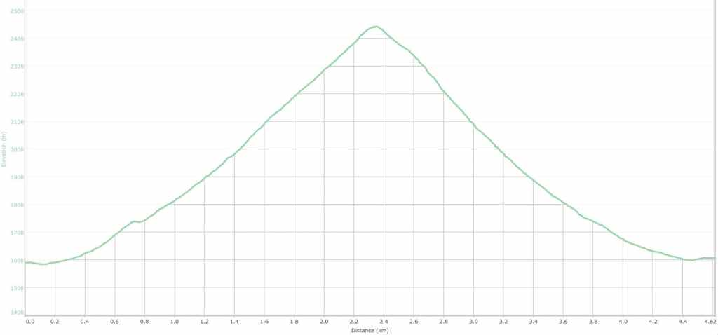
Our total roundtrip distance was 4.6 km with a total elevation gain of 896 m. Our total roundtrip time was 5 hours and 20 minutes.
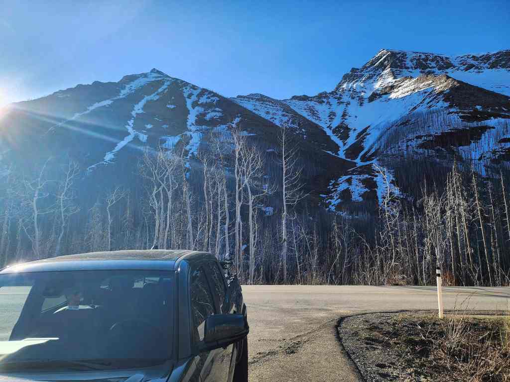
Gearing up at the Lineham Falls parking lot. The summit is on the left and our route will use the drainage to the right of centre.
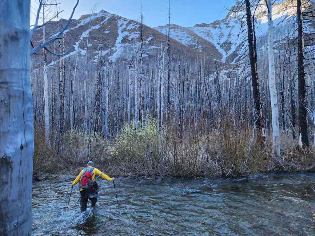
Crossing Cameron Creek.

Passing through a section that was burned in the 2017 Kenow wildfire.

Heading towards the drainage. (Photo by Andrew Nugara)

The view back features Rowe East (far left), Mount Lineham (left of centre), Piinaquiium / Ahkoinimahstakoo (Mount Blakiston) (right of centre), and Ruby Ridge (far right).

I stay on the bank… (Photo by Andrew Nugara)
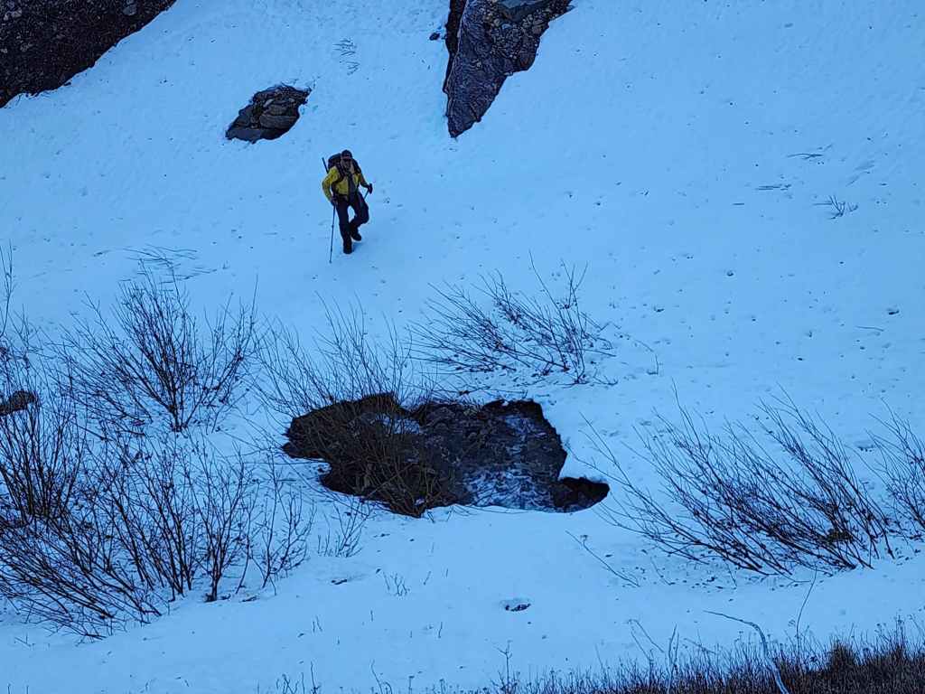
While Andrew heads into the drainage.
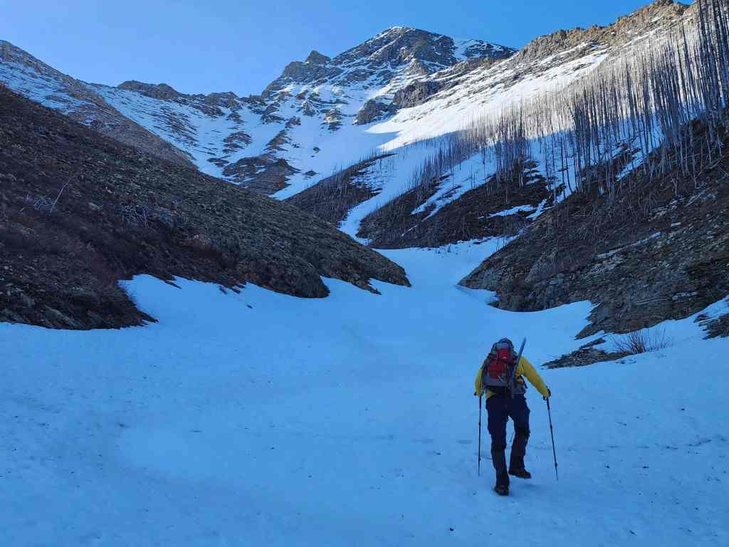
The snow was in good shape in the lower section.
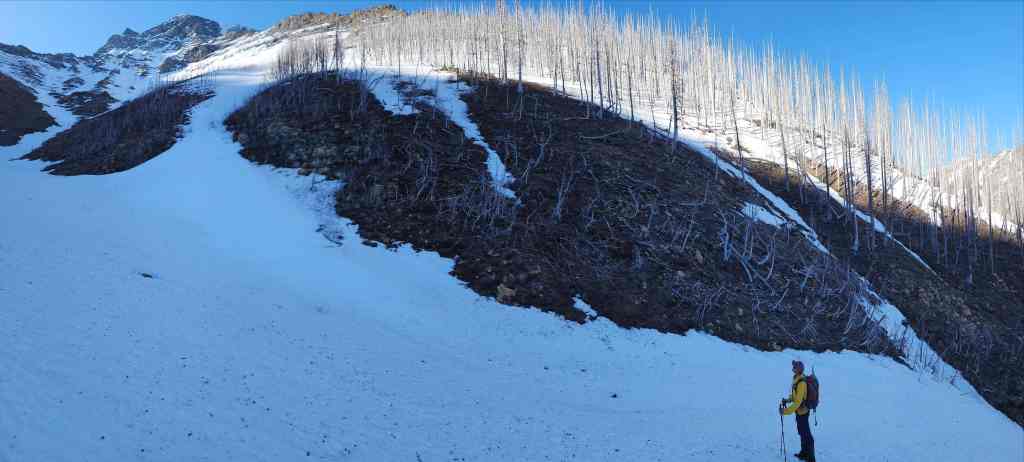
Morning sunlight reflects off a stand of burned trees.
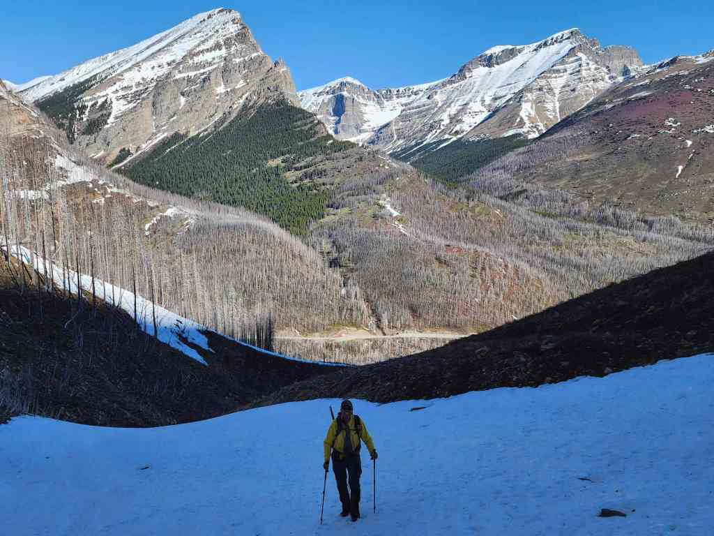
It was a gorgeous morning to be on a mountain! 🙂
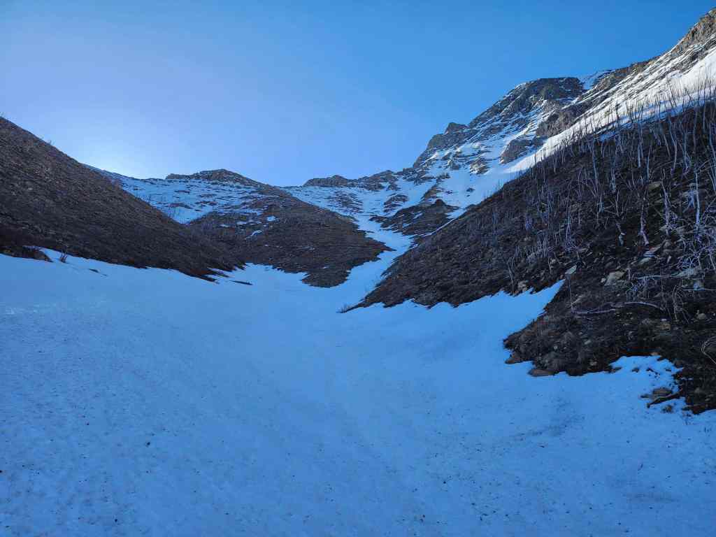
We will follow the drainage when it curves to climber’s left (centre).

Mount Rowe (far left) comes into view.
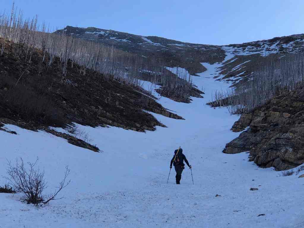
Our first look at the summit (far left). Our initial plan was to follow the snow up to the ridge in the centre; however, it will soon become too soft for an easy ascent, though it will remain perfect for descent. I will also note that this section is much steeper than it looks! (Photo by Andrew Nugara)

Heading out of the drainage and onto the slopes to climber’s left.
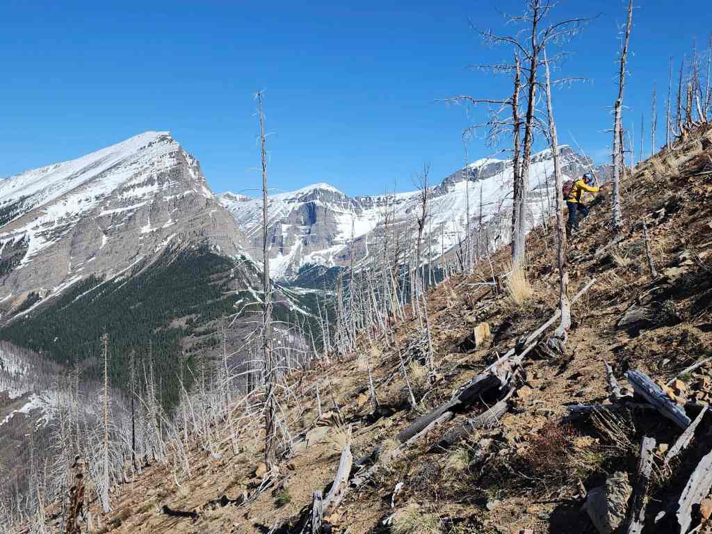
Andrew leans into the ever steepening slope.
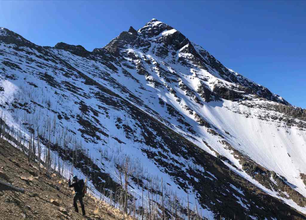
Andrew’s view back to me with Buchanan Ridge in the background. (Photo by Andrew Nugara)

A cool tree caught our attention.

What in the heck is Andrew doing? 🤔
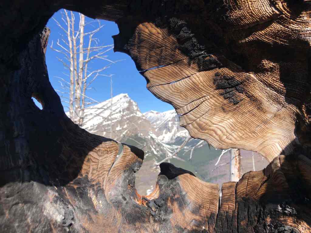
Taking a cool photo of Mount Lineham of course! 🙂 (Photo by Andrew Nugara)

The view down to the Akamina Parkway.

Enjoying a short break – and the views!
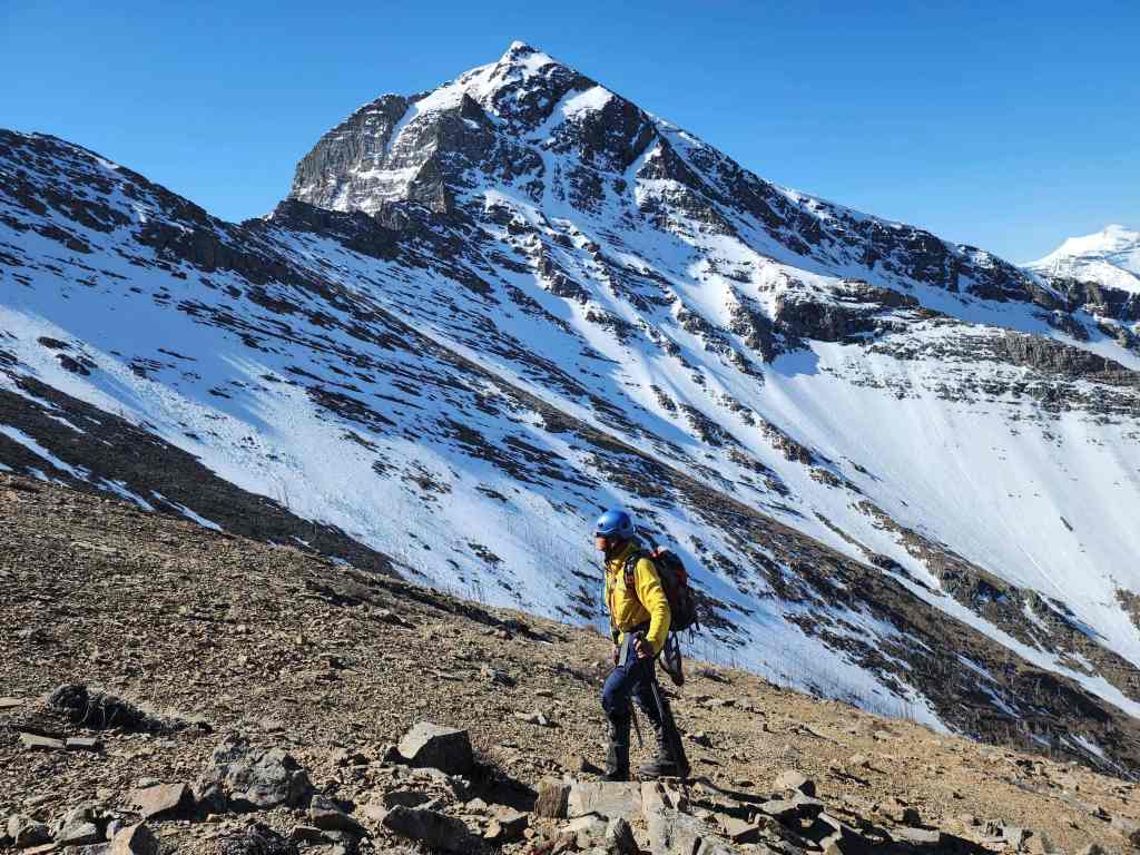
Buchanan Ridge was an impressive backdrop and it was hard to not take a bazillion photos.
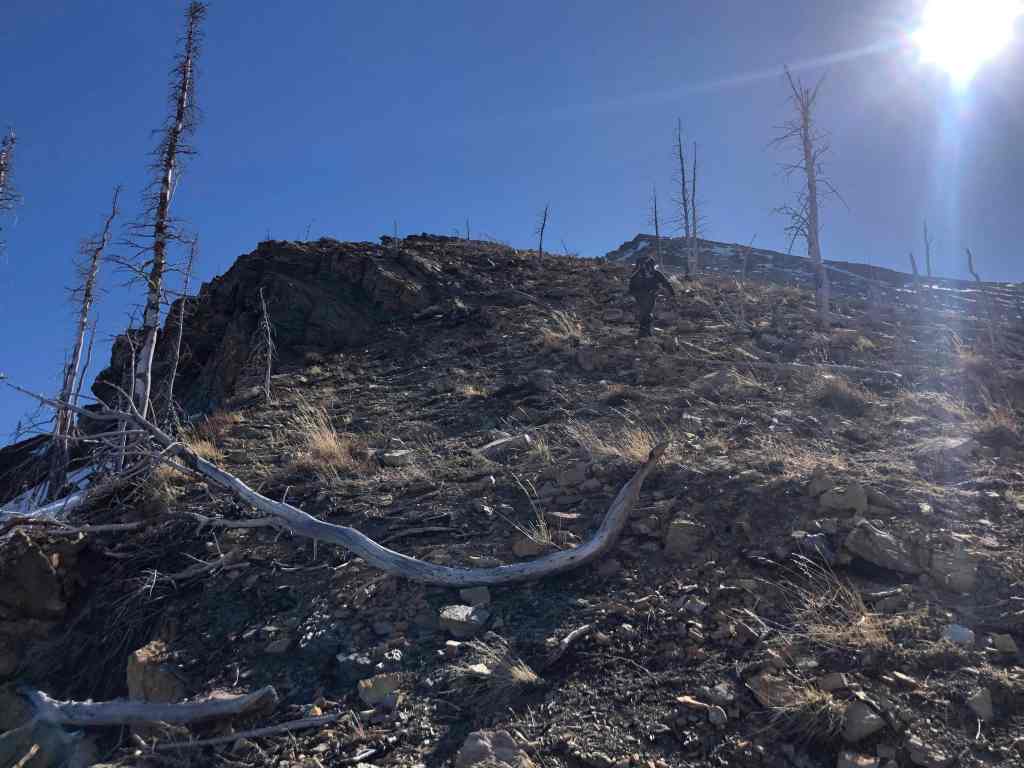
The slope gets steeper as we near the top. (Photo by Andrew Nugara)

Up…
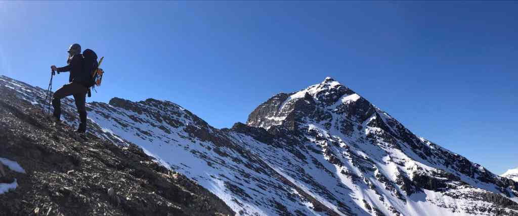
And up we go. (Photo by Andrew Nugara)

Though it felt very foreshortened, it didn’t dampen Andrew’s enthusiasm. 🙂

Arriving at the rubble beneath the summit ridge. (Photo by Andrew Nugara)
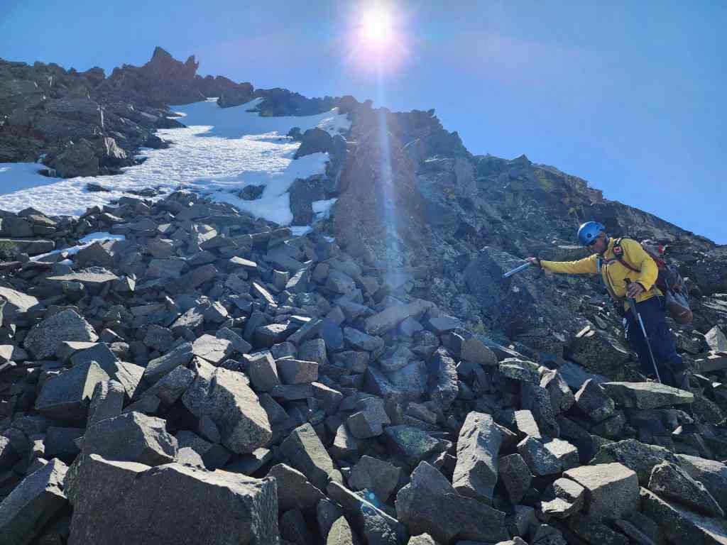
We decided to use a steep patch of snow for ascent.
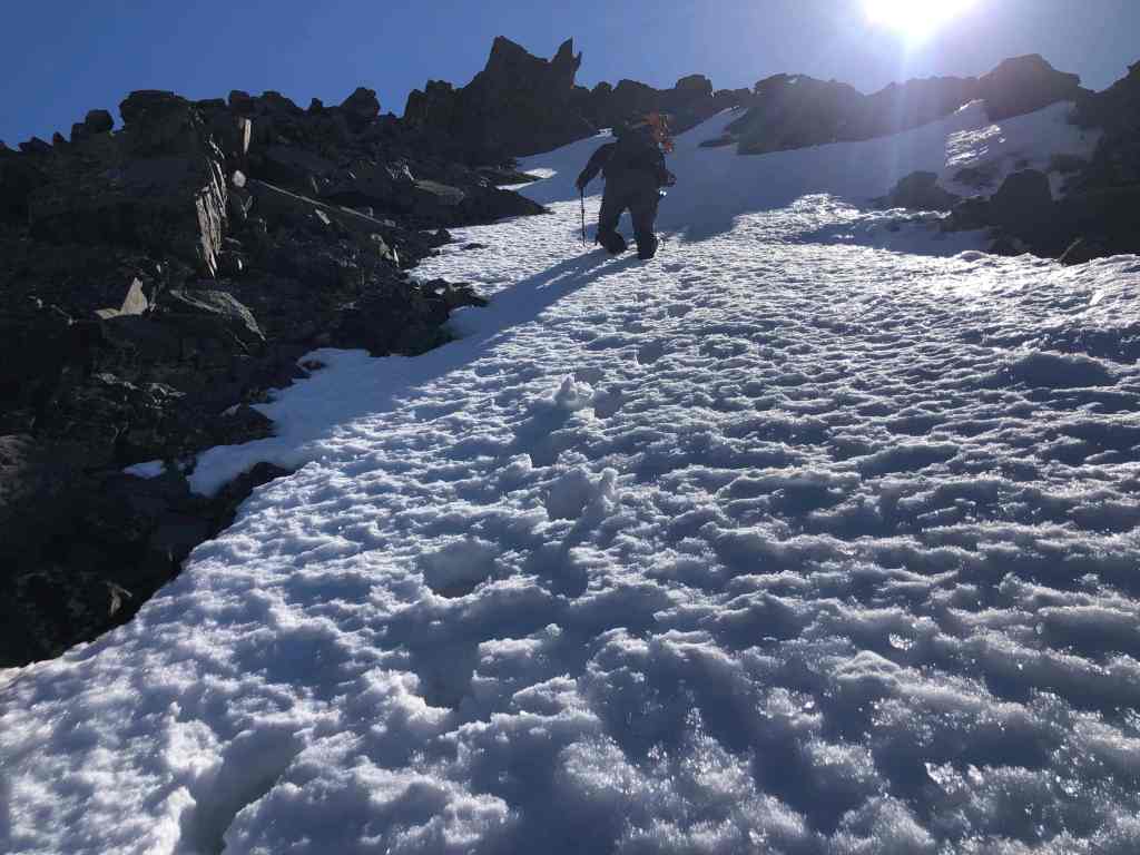
Heading up. Again, this is steeper than it looks. (Photo by Andrew Nugara)

My view back to Andy.

Route finding above the snow. (Photo by Andrew Nugara)
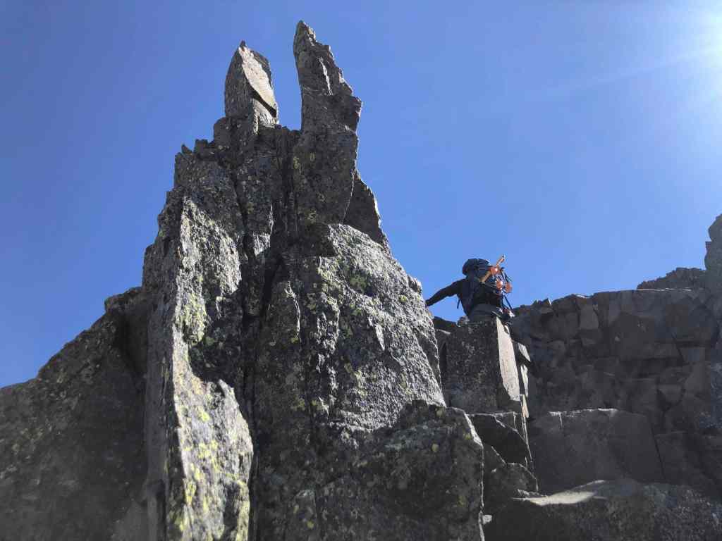
Passing beside a viking helmet. (Photo by Andrew Nugara)

More route finding. (Photo by Andrew Nugara)

Scrambling onto the summit ridge. This section was full of loose rock. (Photo by Andrew Nugara)

On the short summit ridge. It will be an easy walk from here.

Heading to the summit. (Photo by Andrew Nugara)
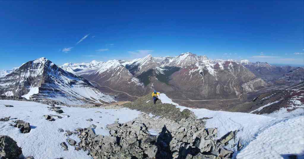
My view back.

The summit of “The Senator” (2440 m).

A pano to the east…

And then to the south.

Looking west…

And then to the north.
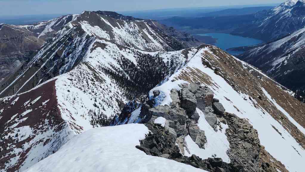
The view along the ridge to Buchanan Northeast (left). It looks like it would be a simple ridge walk, but there is a very steep cliff off of the summit of “The Senator” making both ascent and descent, best left for those with technical gear.
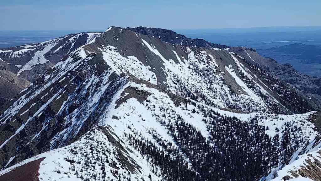
A better look at Buchanan Northeast and behind it, Mount Crandell.
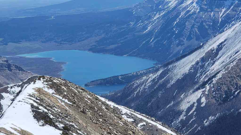
Zooming in on Lower Waterton Lake.
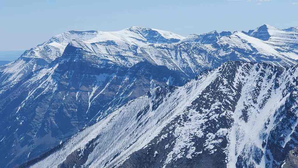
Gazing over at Saakiihmabii (Vimy Peak) and behind it, Istiikoiistakoo (Sofa Mountain).
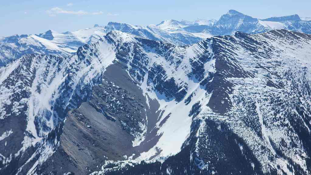
Akiiohtaikiistakoo (Bertha Peak) sits directly across the valley.

Niitaaspiitaa (Mount Cleveland) means “only tall mountain” in Blackfoot.
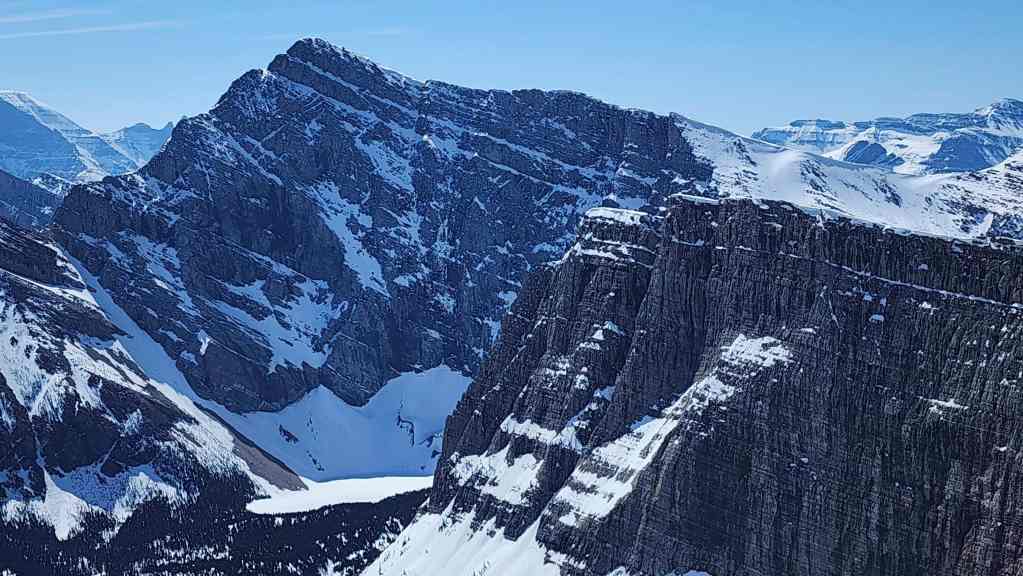
A good look at Mount Alderson (centre) and Buchanan Peak (right).
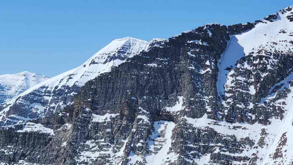
The snowy summit of Mount Carthew (left of centre).

Of course, Buchanan Ridge steals the show!

On the left are Kinnerly Peak and Kintla Peak, with Forum Peak in the foreground. To the right of centre is Akamina Ridge.
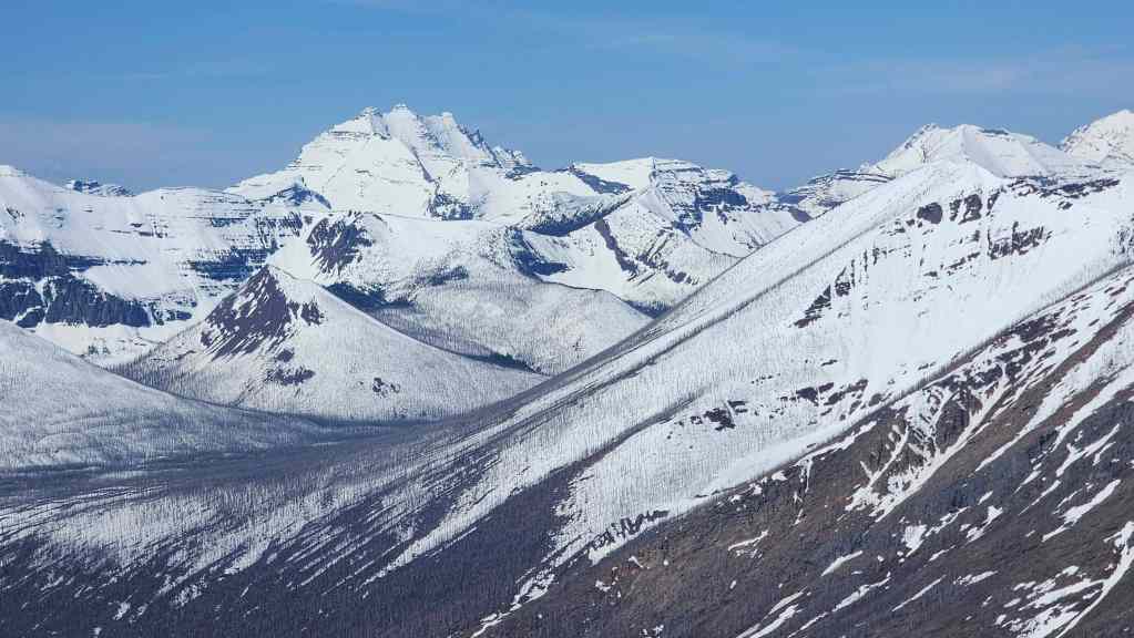
Long Knife Peak (left of centre) is always impressive. The summit of Mount Rowe is on the far right.
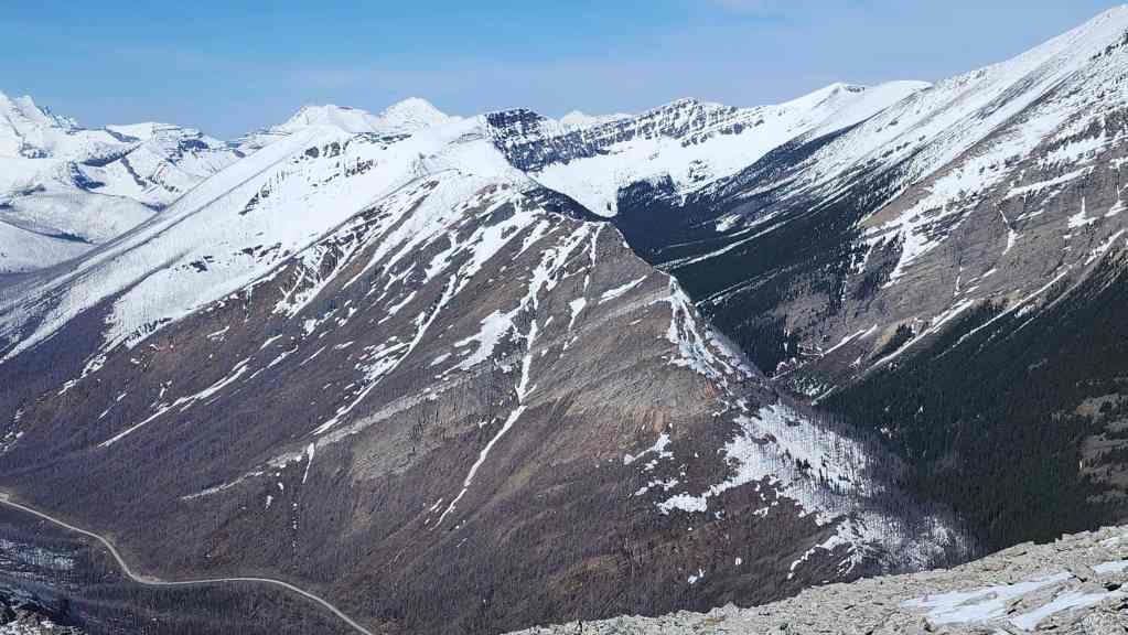
A better look at Mount Rowe and Rowe East.

Glancing across the Parkway at Mount Lineham.

Zeroing in on Mount Hawkins (left of centre).

A good look at Piinaquiium / Ahkoinimahstakoo (Mount Blakiston). Recent scholarship by Dr. Ninna Piiksii (Mike Bruised Head / Chief Bird) has uncovered that the Blackfoot had two names for this mountain. The first is Piinaquiium or “seen from afar mountain” and the second is Ahkoinimahstakoo or “pipestone mountain”.

Ruby Ridge along with a guest appearance by my finger. 😂

A closer look at Mount Glendowan (left of centre).

“Cloudowan Peak” was a fun scramble!
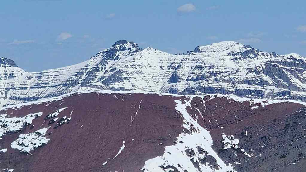
As was Cloudy Ridge (left) and “Cloudy Junior” (right).

Yet another great front range scramble: Mount Dungarvan.
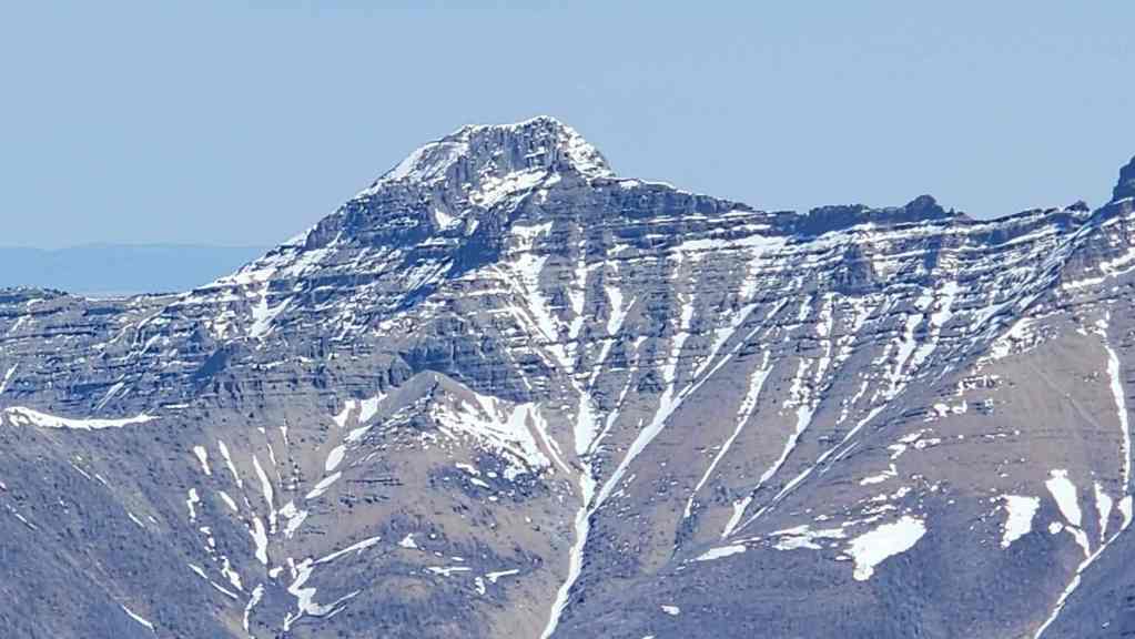
“Rogan Peak” looks impressive.

Speaking of fun scrambles, Mount Galwey is another one. 🙂
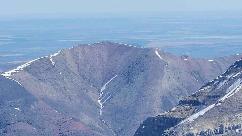
The north peak of Lakeview Ridge.

Another perfect day to be on a summit! 😀

This was a fun little peak! (Photo by Andrew Nugara)
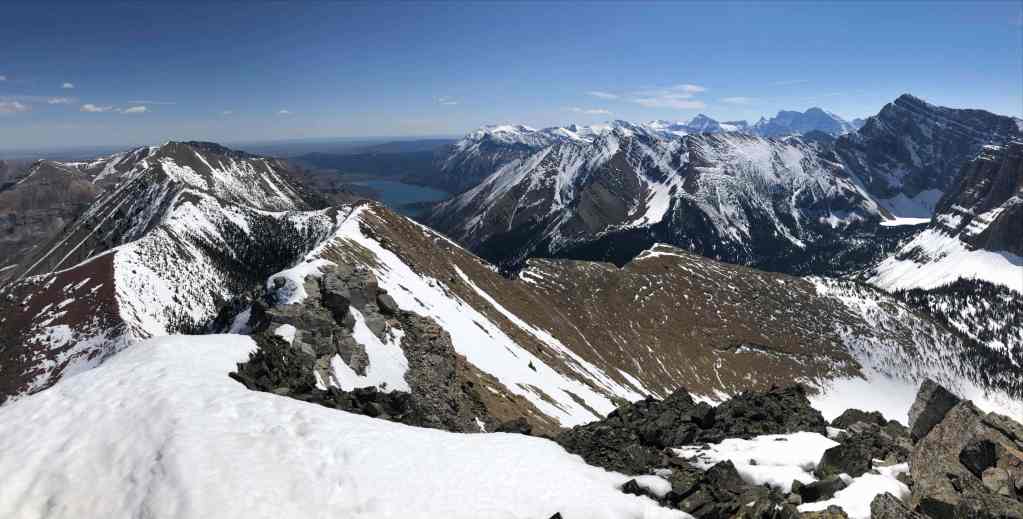
One more look to the east. (Photo by Andrew Nugara)
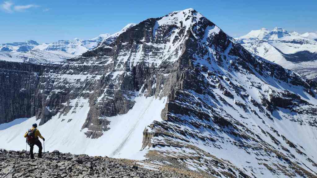
Time to head back. We will use Andrew’s snowshoe route that will follow the drainage all the way back.

Walking beside a huge cornice. (Photo by Andrew Nugara)

Nearing the col. Note the snow-covered tarn in the valley to our left.

The view from the col. (Photo by Andrew Nugara)

Andrew follows me towards the drainage.

I mentioned this before, but this section is way steeper than it looks. (Photo by Andrew Nugara)
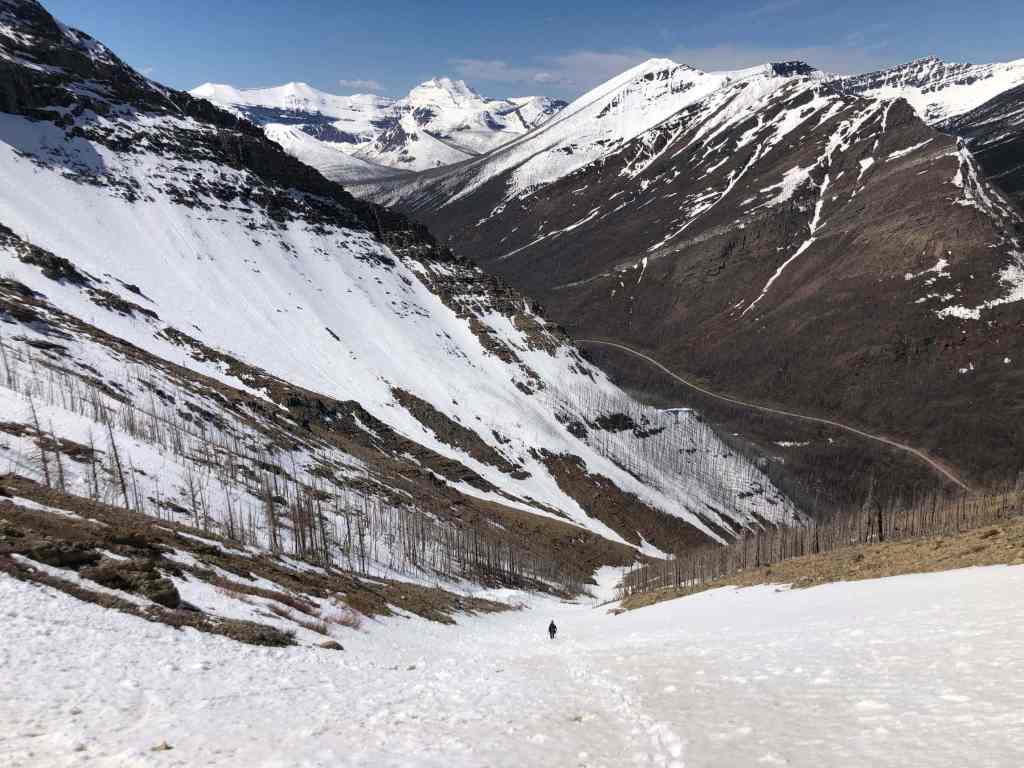
I continue to lead the way. (Photo by Andrew Nugara)
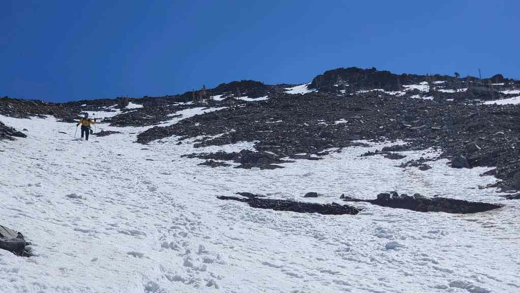
Followed closely by Andrew.
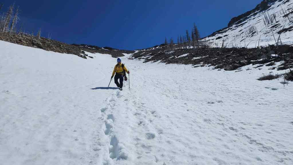
The soft snow was not great for ascent, but was perfect for a quick descent.
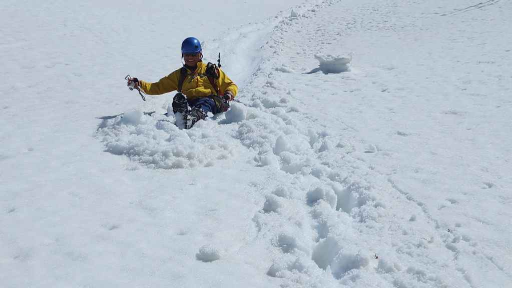
Andrew zooms past me. 😂

Down he goes!

He’ll wait while I catch up to him. (Photo by Andrew Nugara)
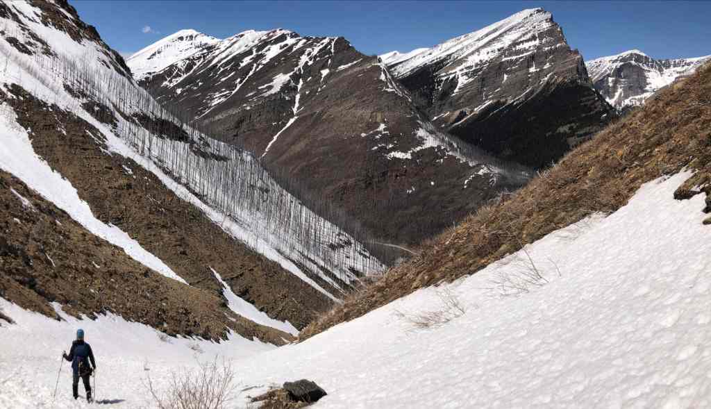
Arriving back at the fork in the drainage. (Photo by Andrew Nugara)

Andrew zooms past me again! 😂
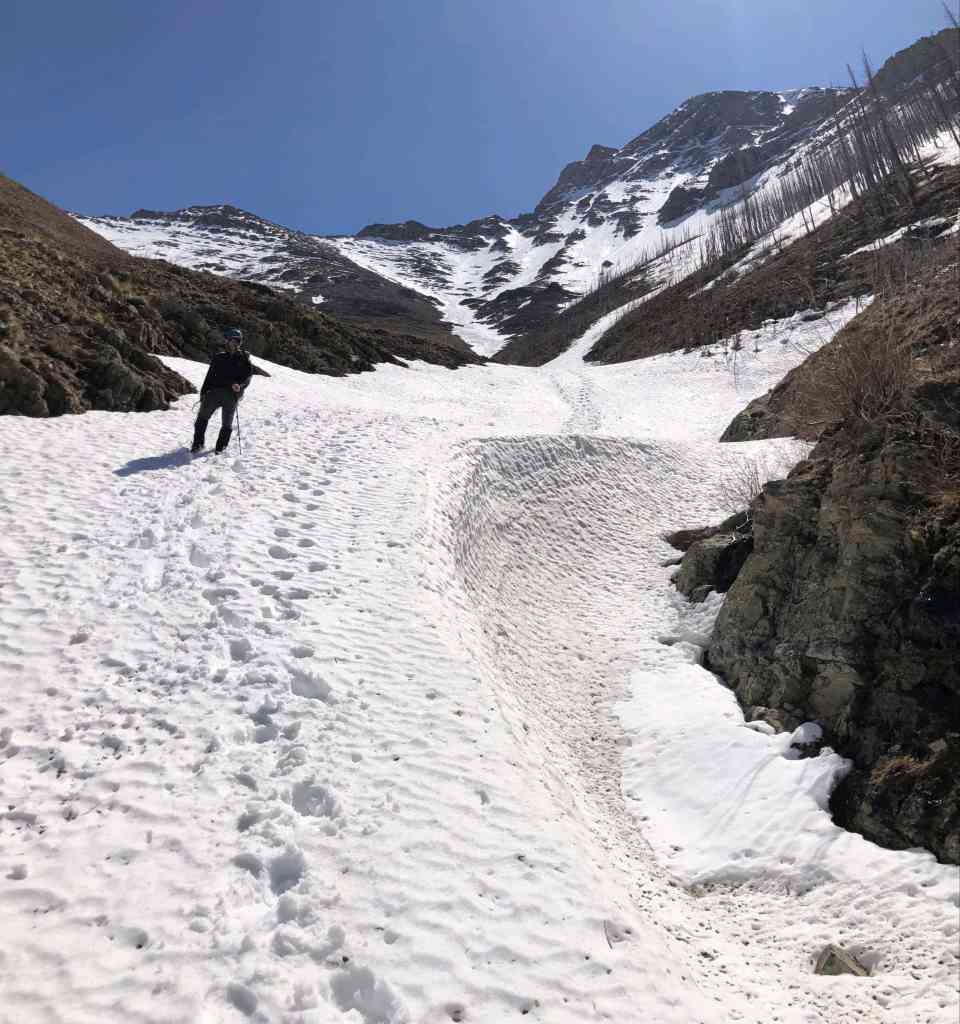
Another look back and along the drainage. (Photo by Andrew Nugara)

The snow abruptly ended…

Where it turned into a series of scenic waterfalls.

We will take a ton of photos as we hike down. (Photo by Andrew Nugara)

Another waterfall. (Photo by Andrew Nugara)

And then another. 🙂
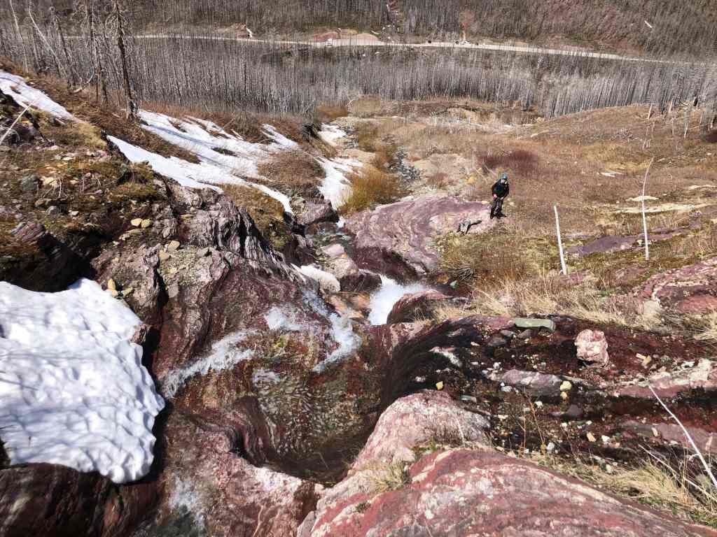
Of course, to make things even more stunning, was the plethora of red and green argillite. (Photo by Andrew Nugara)
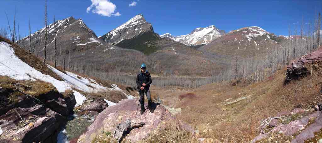
It will be a simple walk back to Cameron Creek from here. (Photo by Andrew Nugara)

But first, more awesome waterfall shots. (Photo by Andrew Nugara)

So cool! (Photo by Andrew Nugara)
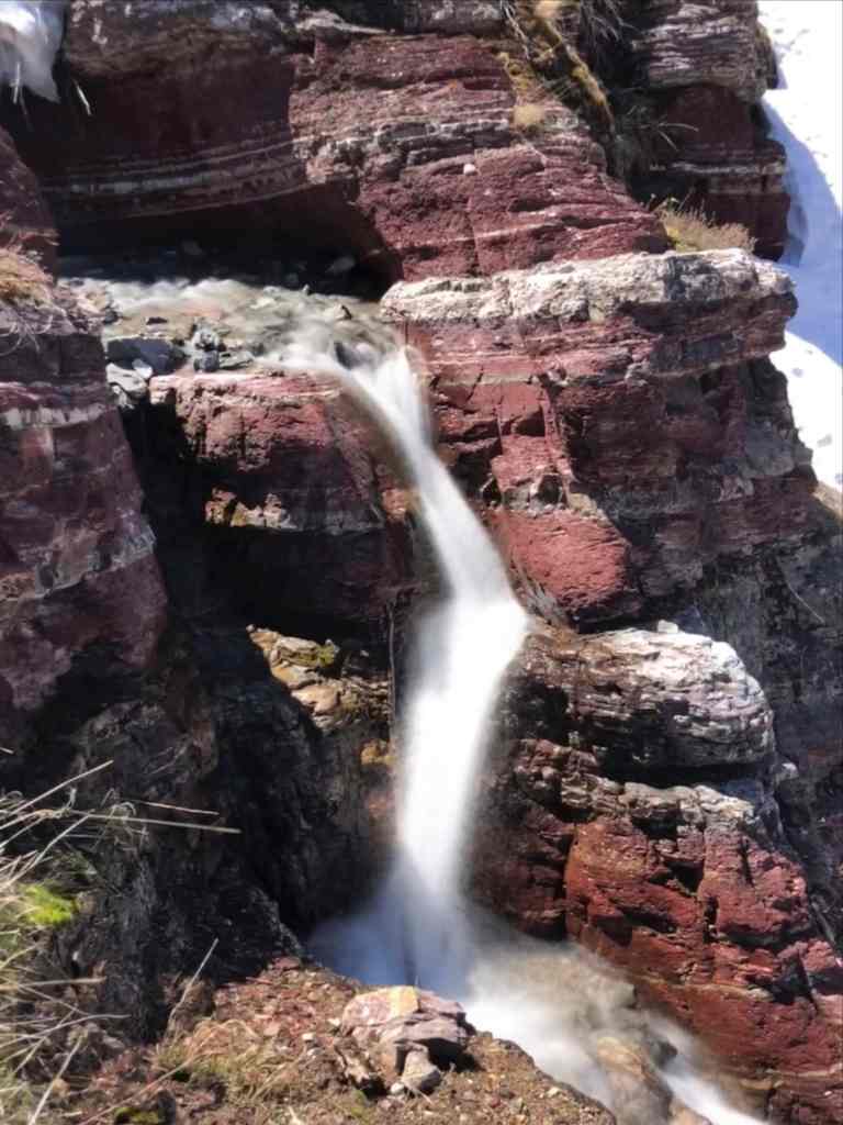
One more for good measure. 🙂 (Photo by Andrew Nugara)

Crossing Cameron Creek.

Andrew pauses for one more look at our route as we arrive back at the Lineham Falls parking lot.

And this is what he sees. 🙂 This was a fun trip that only took 5 hours and 20 minutes; though it did include an 896 m elevation gain as the terrain is much steeper than it looks (did I mention this before?). A huge thanks for Andrew for yet another amazing day in the mountains! It feels good to have finally visited all five peaks on Buchanan Ridge. 🙂


Leave a Reply